A collection of walks, discoveries, insights and pictures of exploring Dartmoor National Park
June 25, 2020
Huntingdon Mine (and its Leat Systems)
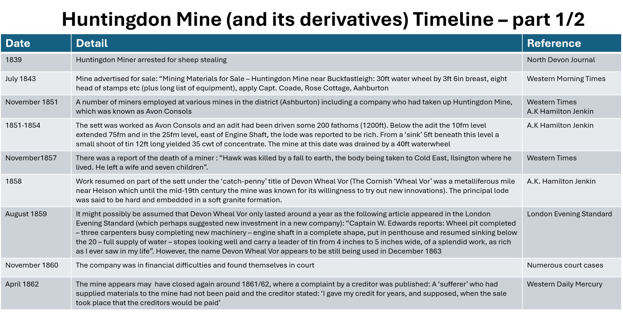
Around 1km north from the junction of Western Wella Brook with the River Avon there are the remains of a 19th century mine, which had attracted the Victorian Adventurers due to historical late Medieval openworks being located there. The mine sett is thought to have been first worked from about 1839 to 1843 when it was generally known as Huntingdon Mine. We know this as in 1839, the North Devon Journal reported that a miner from Huntingdon Mine was arrested for sheep stealing and in July 1843 it was put up for sale, being advertised in the Western Morning Times. At that time, the mine is known to have been drained by a 30ft waterwheel with 3ft 6in breast.
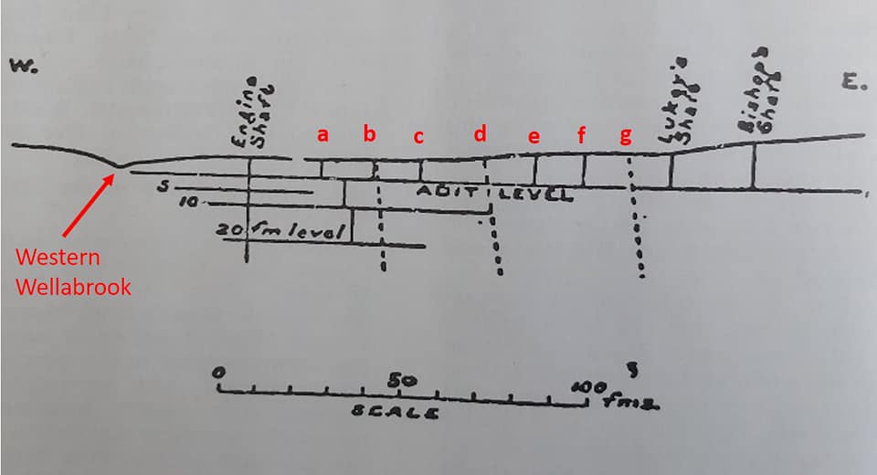
The mine was next worked as Avon Consols between 1851-54 (Hamilton-Jenkin), during which time a 200 fathoms adit was driven and an engine shaft sunk. At that time, the mine was drained by a 40ft waterwheel. Operations ceased at the mine in 1854 but appeared to have started up again by November 1857, as the death of a miner, named Hawk, was reported in the Western Times at this time.
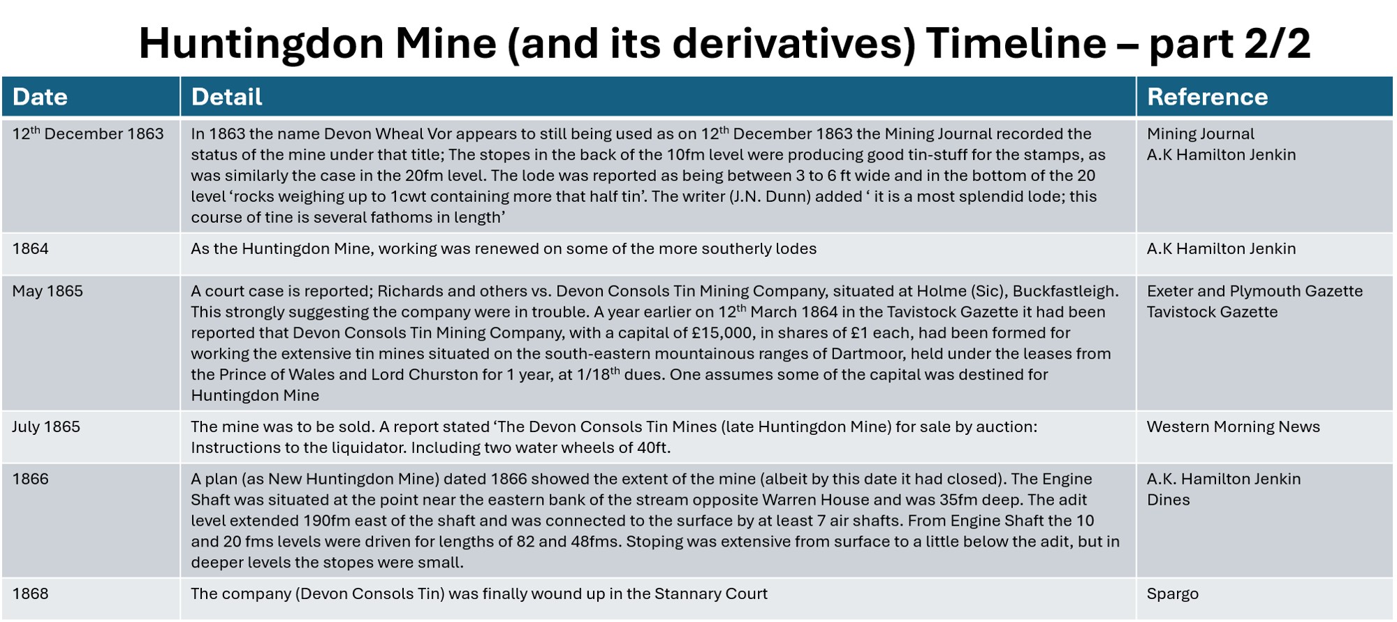
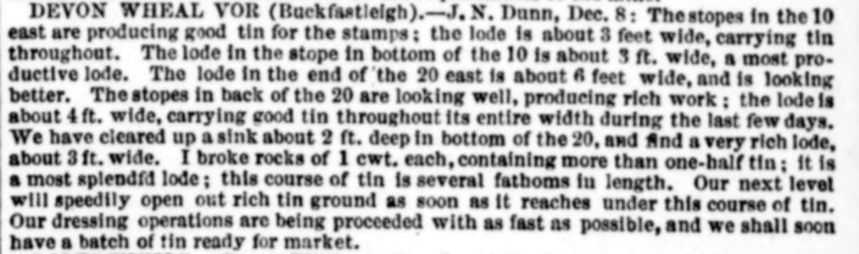
A new company called Devon Wheal Vor around 1858/59 worked the sett. It is thought to have re-opened briefly in 1859 with new investment but by November 1860, the latest company was in financial difficulties as evidenced by several court cases. The mine seems to have been closed in 1861/62, as the Western Daily Mercury reported the complaint of a creditor in April 1862. In 1863, yet another new company was formed as recorded in March of that year in the Tavistock Gazette. In May 1865, this latest company was in trouble with a court case being reported in the Exeter and Plymouth Gazette. By July 1865, the mine was to be sold and the instructions given to the liquidator included the two water wheels of 40ft – this was reported in Western Morning News, with the mine being called Devon Consols Tin Mines (late Huntingdon Mine). The mine was never worked again in spite potential interest as there is a plan of the mine dated 1866.
The fabulous article from Dave Brewer in the Spring 1988 Dartmoor Magazine entitled “A Leat from the Avon” inspired the author to conduct an exploration of an area (having been to the area on dozens of occasions previously). This post (as per Dave Brewers article) starts near Lud Gate with the mysterious regulator stone / cross socket, then proceeds to the mine in the Western Wellabrook valley. A further visit with the Dartmoor Tinworking Research Group (DTRG) in August 2026, enabled the author to add some detail to the mine operations.
Bibliography
Dave Brewer – Spring 1988 – Dartmoor Magazine; entitled “A Leat from the Avon”
DTRG – 2016 – The Tinworking Landscape of Dartmoor in a European Context; Page 31
North Devon Journal – 1839
Western Times – 22 July 1843; 22nd November 1851; 14th November 1857
A.K Hamilton Jenkin – 2005 – Mines of Devon; Page 109
H.G. Dines – (1956) – Metalliferous Mining Region of South West England – pages 729/730
Western Morning News – 31st July 1861; 4th July 1865
Western Daily Mercury – 18th April 1862
Tavistock Gazette – 24th March 1864
Exeter and Plymouth Gazette – 26th May 1865
Mining Journal – 12th December 1863
Stephen Holley (DTRG Chairman) – August 2026 – Pers. Conv.
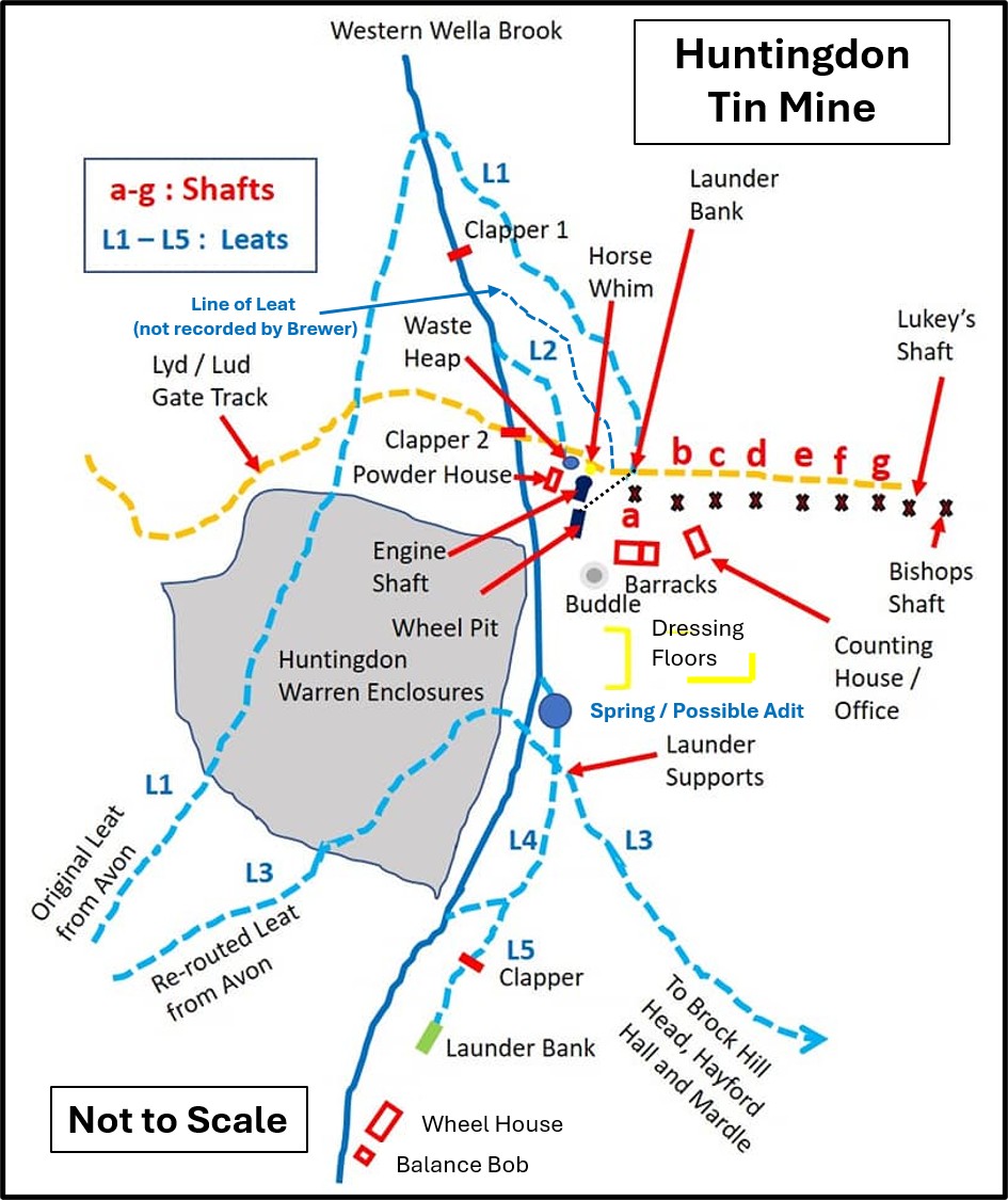
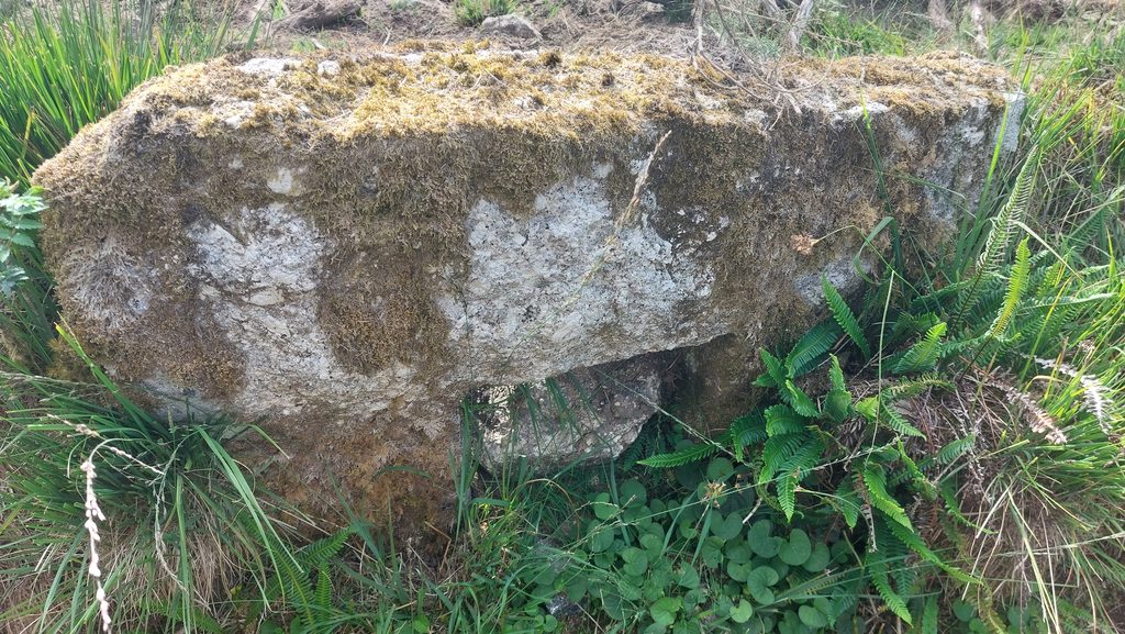
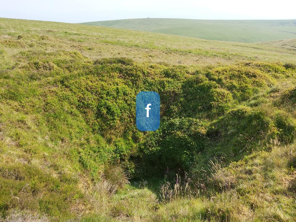
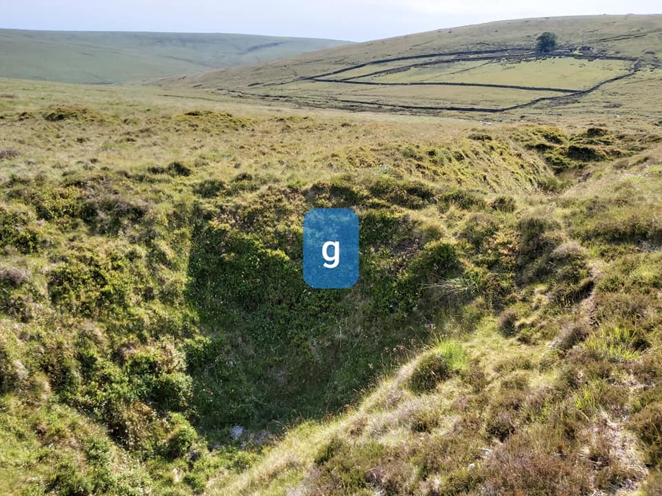
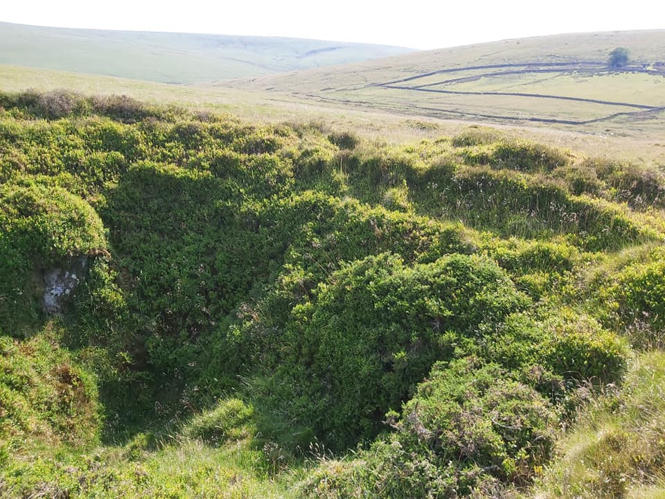
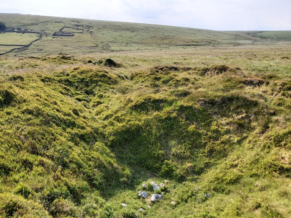
This is an adaptation of the original Dave Brewer sketch of the site as published in the Dartmoor Magazine in Spring 1988. It is a fascinating how the leat systems were constructed hereShafts at the mine. Engine Shaft is easily recognisable but the others take a little interpretation. I assumed Lukey’s and Bishop’s Shafts were the highest (and largest) up the hill and tried to work out shafts ‘a’ through ‘g’ accordingly. I hope I have faithfully recognised each shaft in this post.“Dartmoor Mystery”is how this artefact is described by F.H.Starkey in his “Then and Now” book from 1986. R.H. Worth described it as a “Water Regulating Stone for leat”. Dave Brewer described it as a “Regulator stone” in an article (A leat from Avon) in the Dartmoor Magazine in 1988 as it lies next to the Hayford Hall Leat.
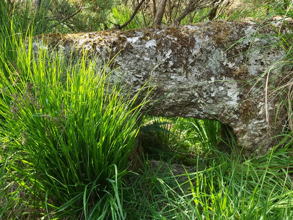
The artefact is called by Dartefacts, website http://www.dartmoor-crosses.org.uk/hayford.htm and dartmoor crossing facebook page as “Hayford Cross Socket Stone”.
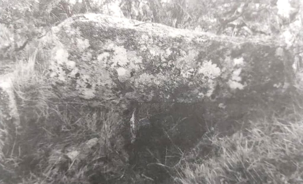
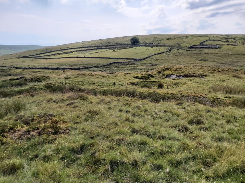
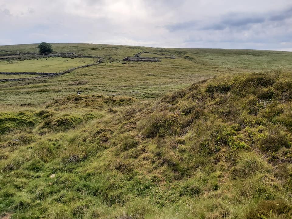
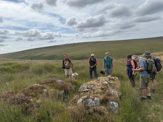
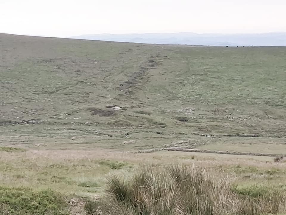
So is it a leat “Regulator Stone” or is it a “Cross Socket Stone” ?Starkey first thought it was a Cross Socket Stone but states “the inner side bears the marks of a drill”. He argues therefore, it is unlikely to have been made earlier than the beginning of 19th century and by this time wayside crosses were no longer being erected on Dartmoor. On further investigation he states that a local, indeed remembered the Hayford leat, which also served two other residences, a sawmill and a tin mine, and agreed R.H. Worth was correct. This is the June 2020 view of the stone. SX68233 67331 The ‘Regulator Stone’ taken in August 2026 during a DTRG walkGeneral view of the mine taken from Lud Gate track. The Huntingdon Warren field system discernable across the valley.
Horse Whim stone with Engine Shaft behind
Engine Shaft in June 2020
Engine shaft. SX66800 66993
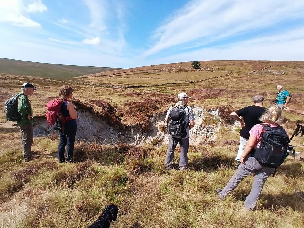
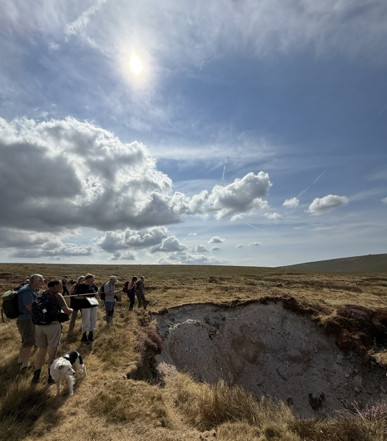
This potted history of the mine from 1839-1862 was summarised (in the main) by Stephen Holley in the DTRG walk notes from August 2026. The author has added additional information taken from Hamilton Jenkin (Mines of Devon)Members of DTRG at Engine Shaft in August 2026. Picture by Matthew Johnson
Members of DTRG at Engine Shaft in August 2026
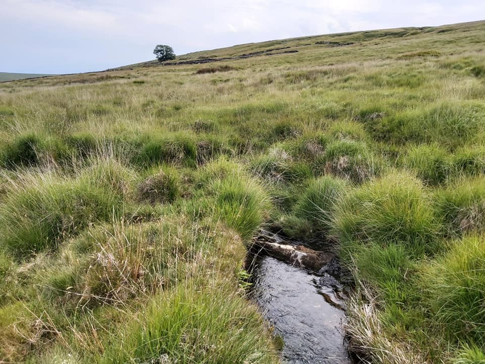
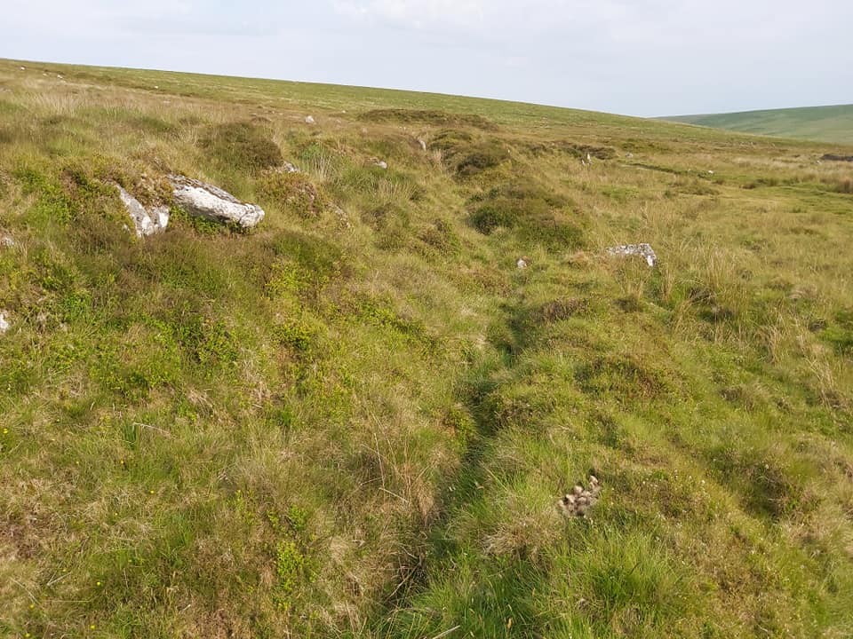
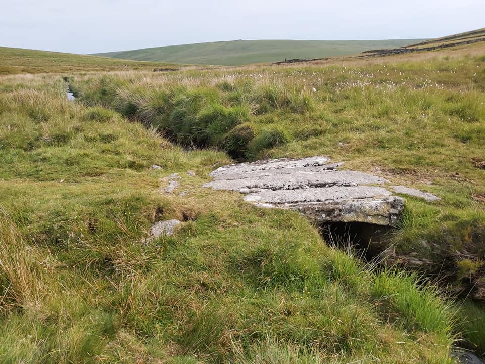
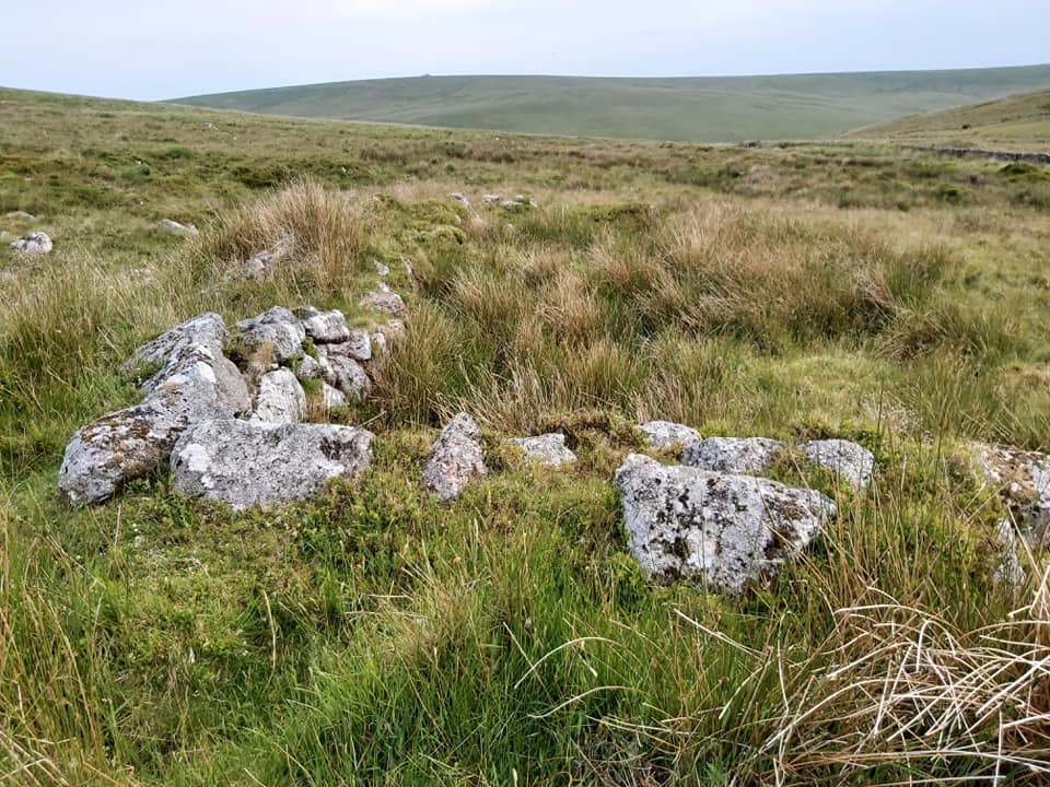
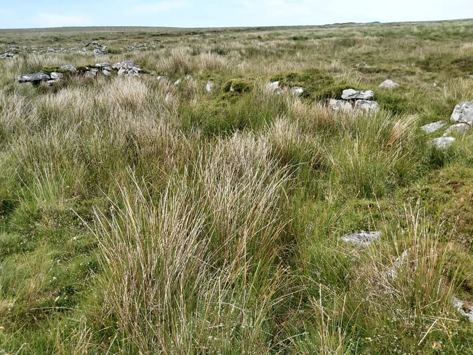
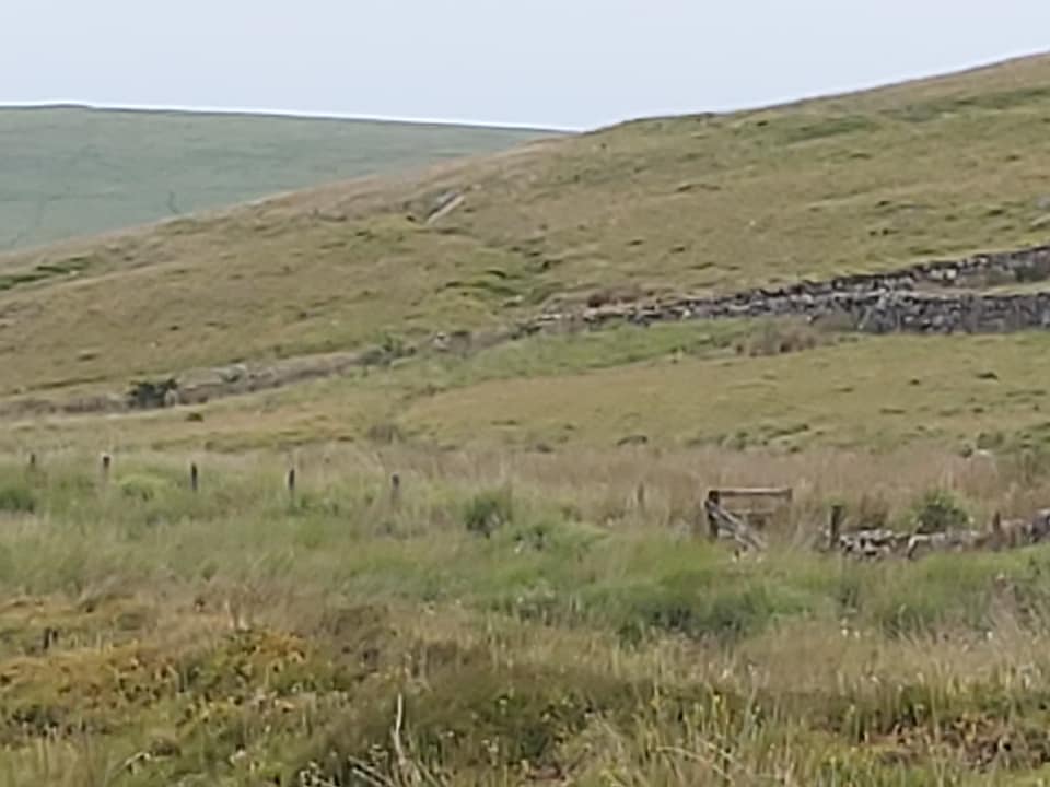
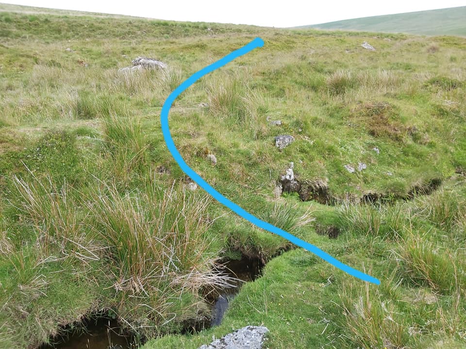
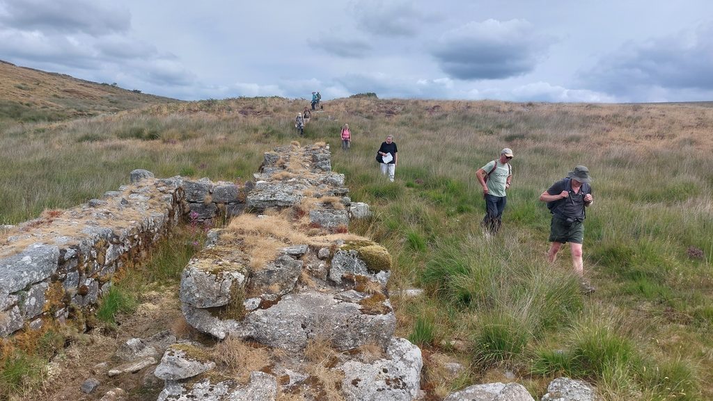
This small embankment alongside the track is a launder bank which enabled the tinners to allow water to flow into the site (wheelpit). This is the end of Leat 1 (L1). SX66826 67004 Members of DTRG at Leat Embankment in August 2026. Picture by Matthew JohnsonShallow depression of Leat 1 heading towards Western Wellabrook Leat 1 again, where the tinners had to move huge boulders Leat 1 inlet from Western Wellabrook. There is an old wall system here (you can just make out a rock on the right hand side of the picture), which the tinners had to breach to run their leat from the Brook. SX66652 67319Clapper 1 collapsed in the Brook. Huntingdon Warren tree visible in the distance. SX66668 67160
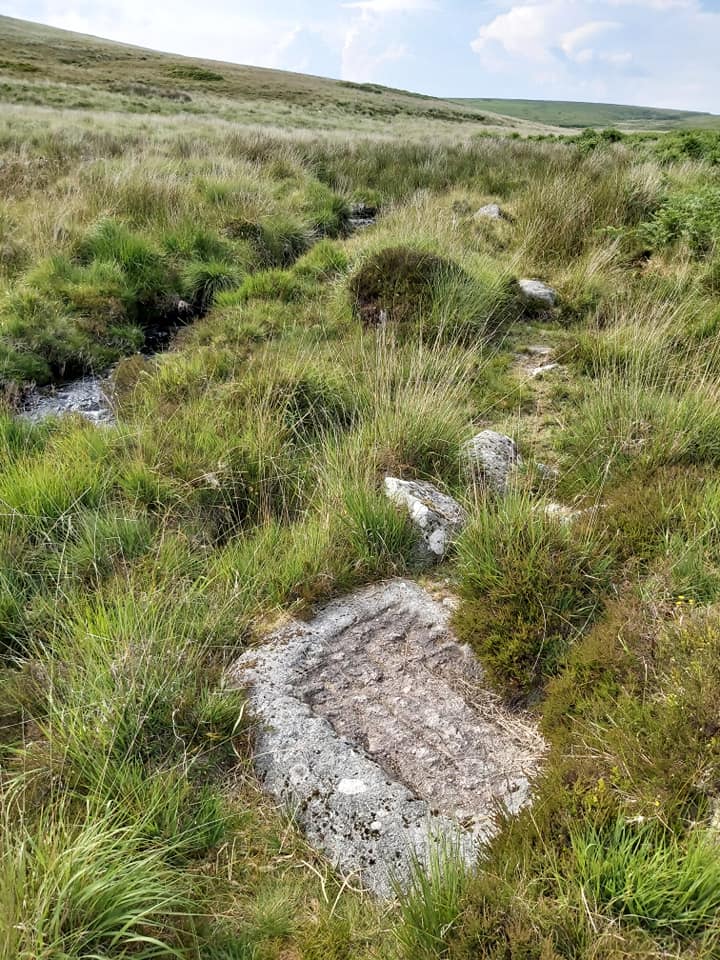
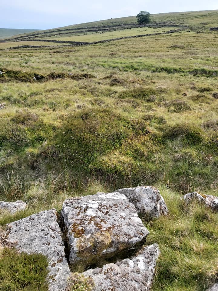
Is this a natural weathered rock or the start of a trough. This is close to Leat 2 (L2) take off point. SX66708 67109
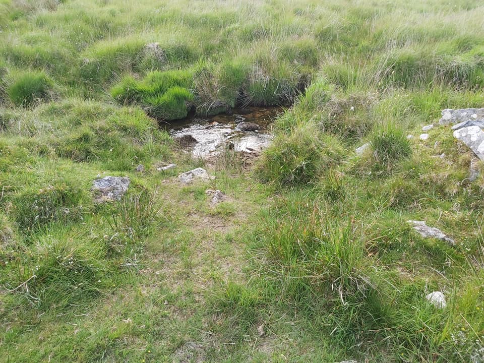
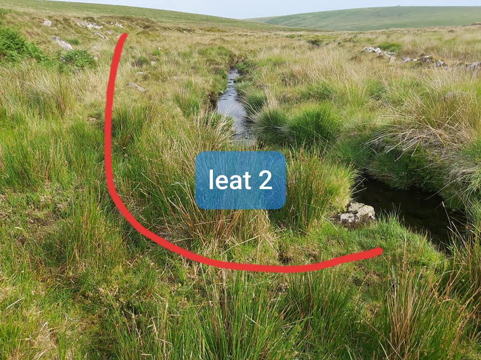
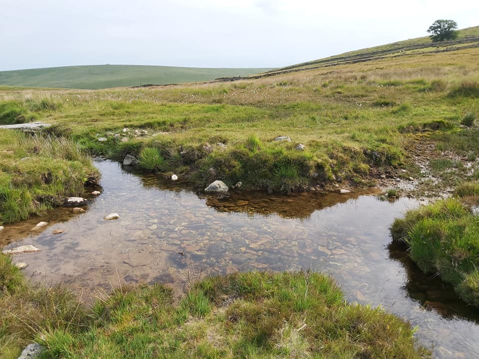
Leat 2 take off from Western Wellabrook. SX66698 67128 Leat 2 is easy to follow. You can see it is heading for the waste heap mound (upper mid picture)
A nicely split rock alongside leat 2. I wonder why it was never used. SX66753 67040
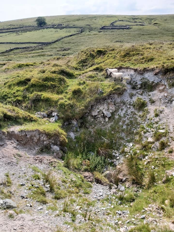
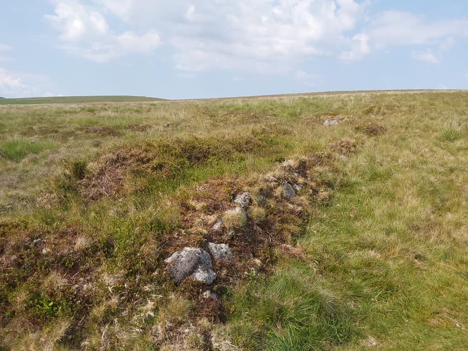
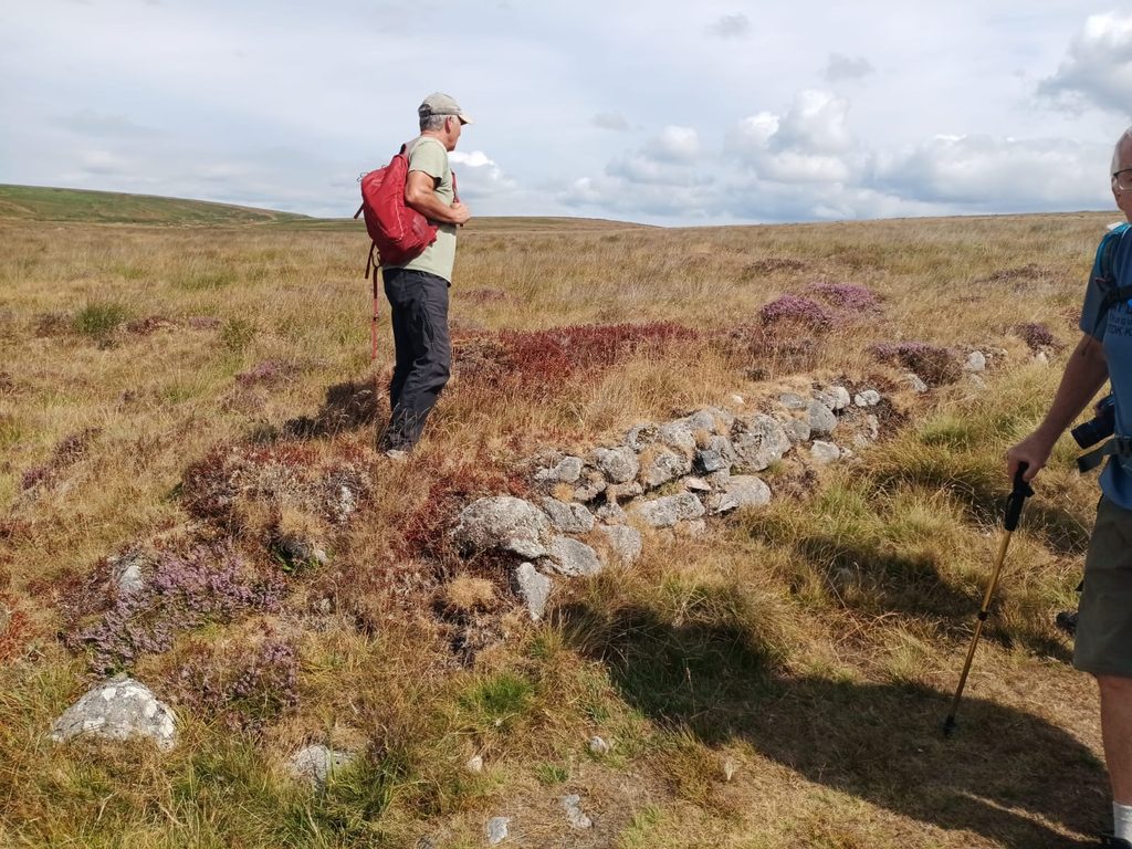
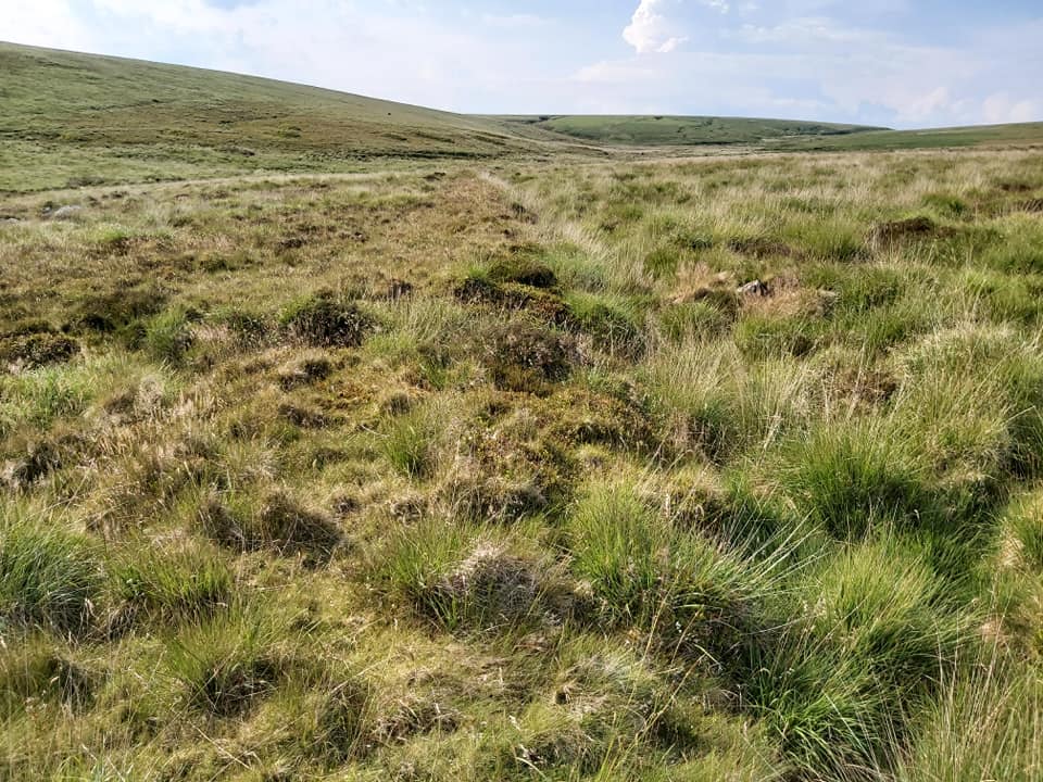
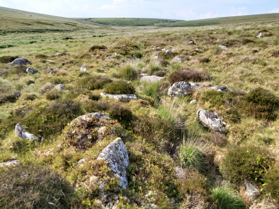
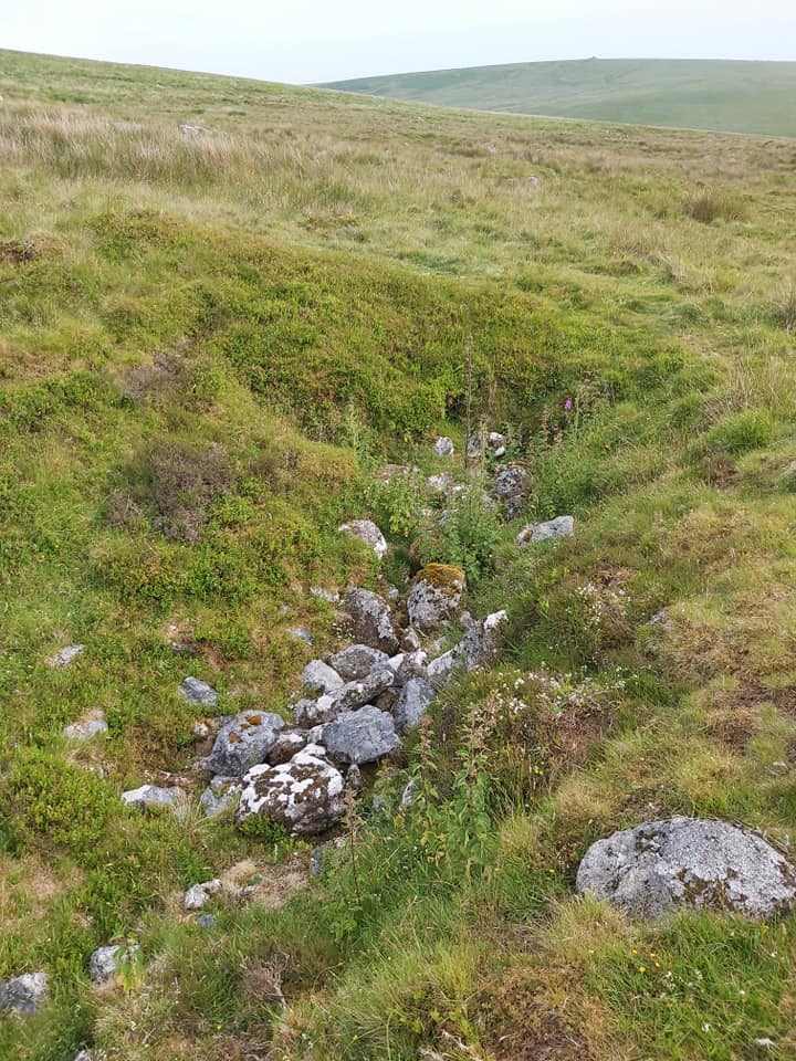
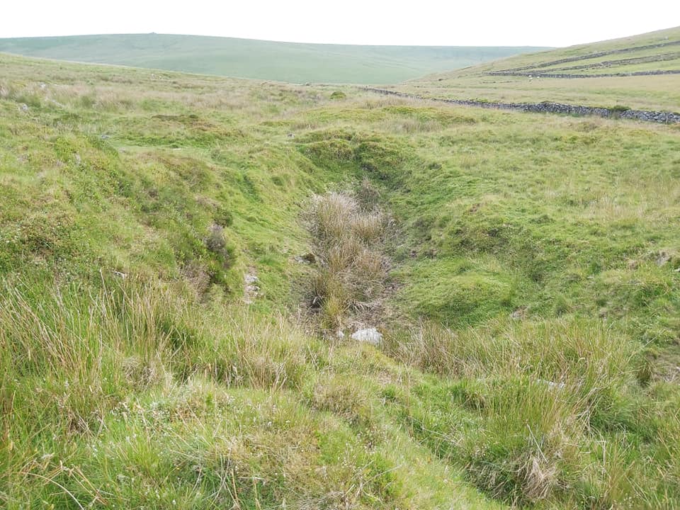
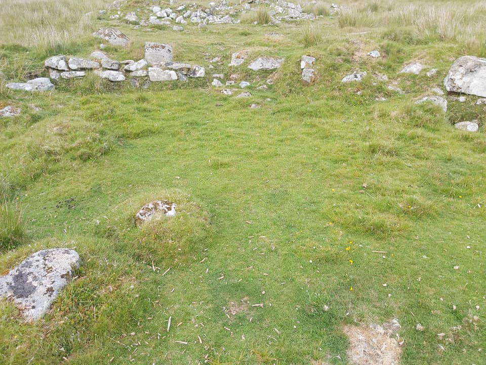
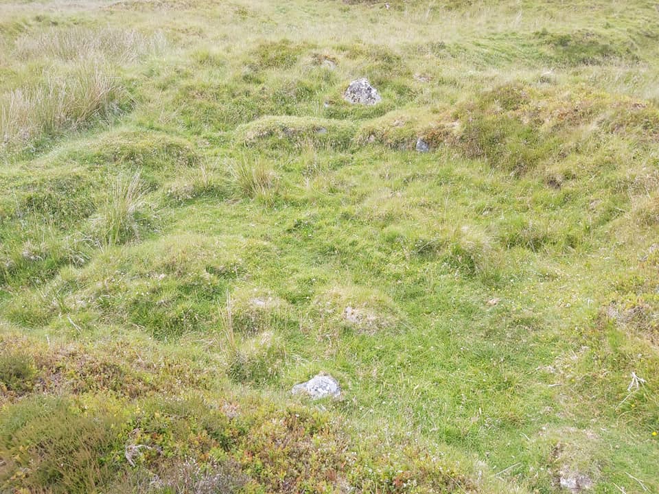
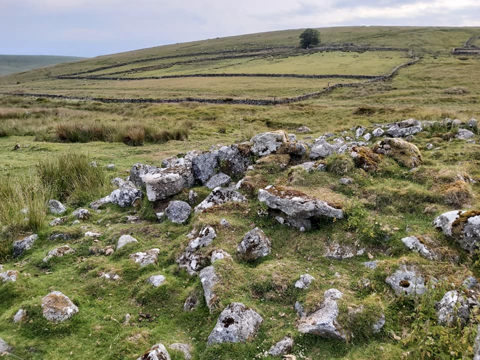
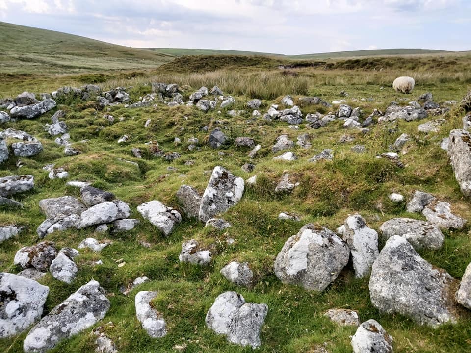
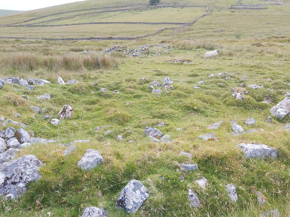
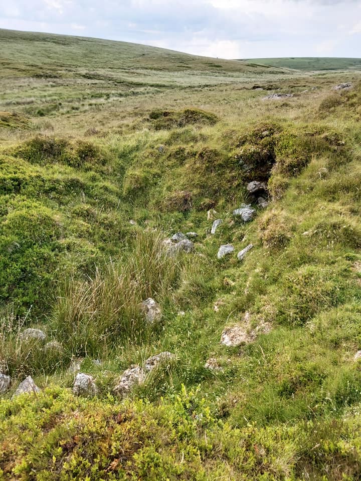
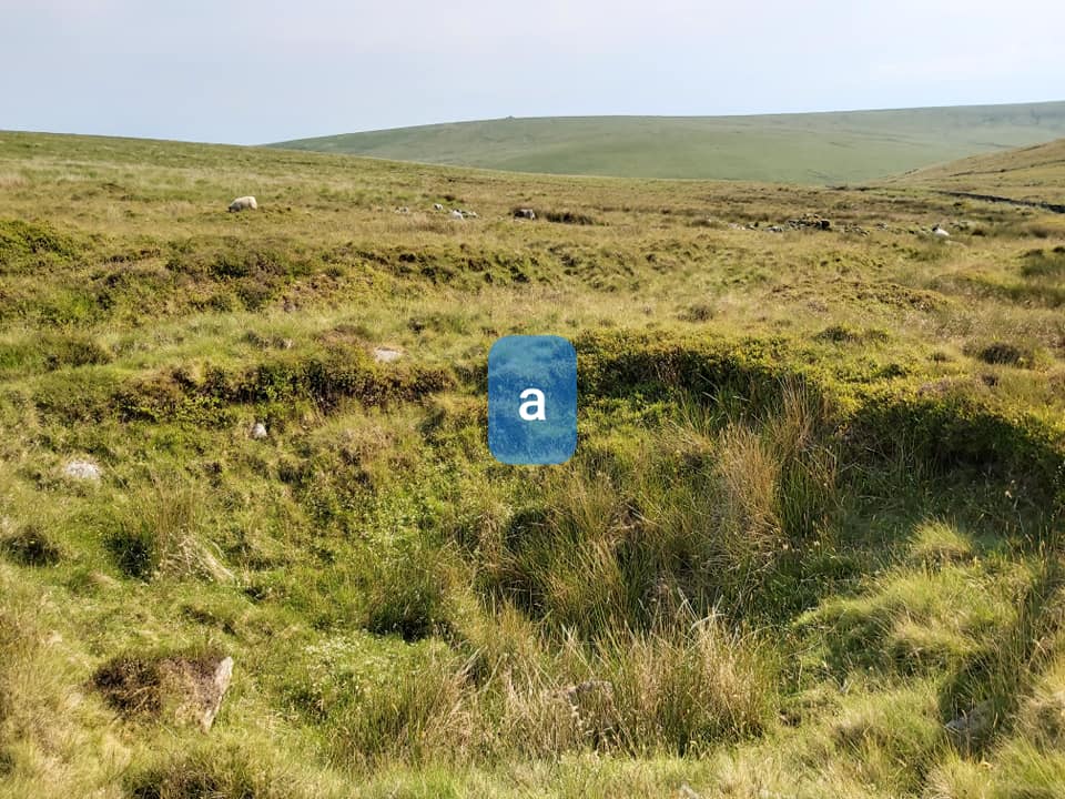
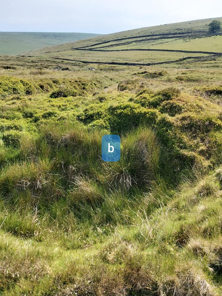
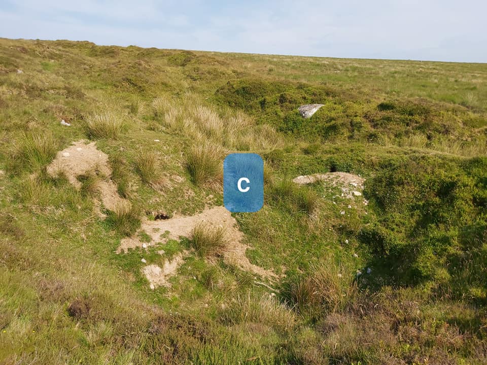
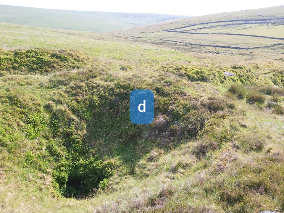
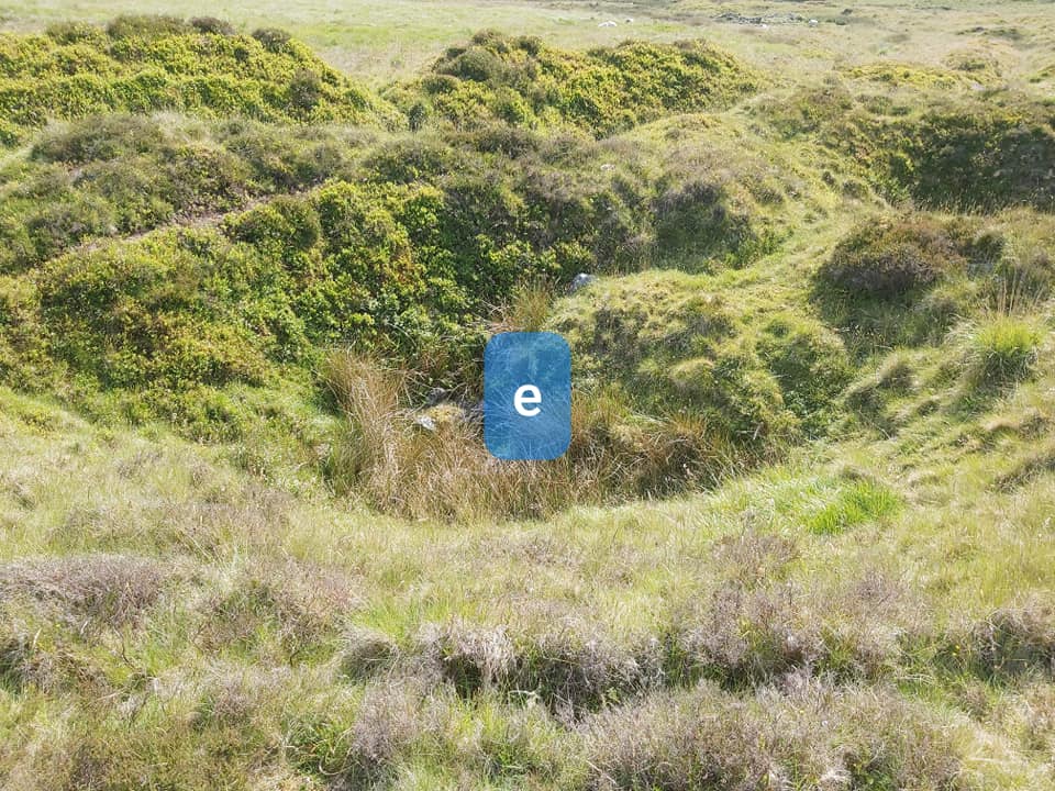
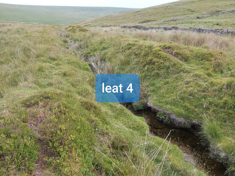
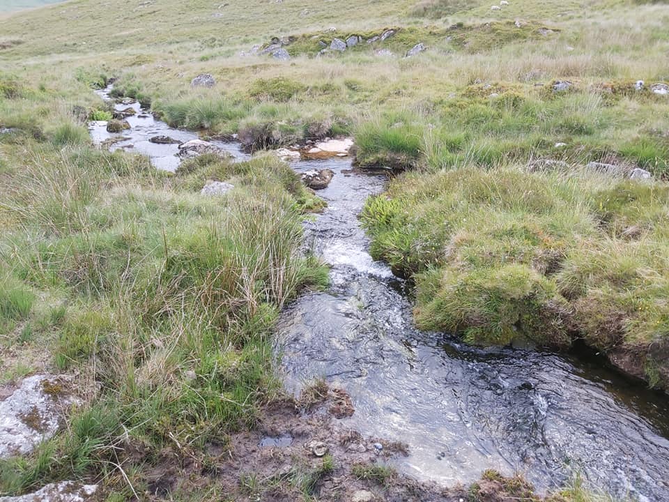
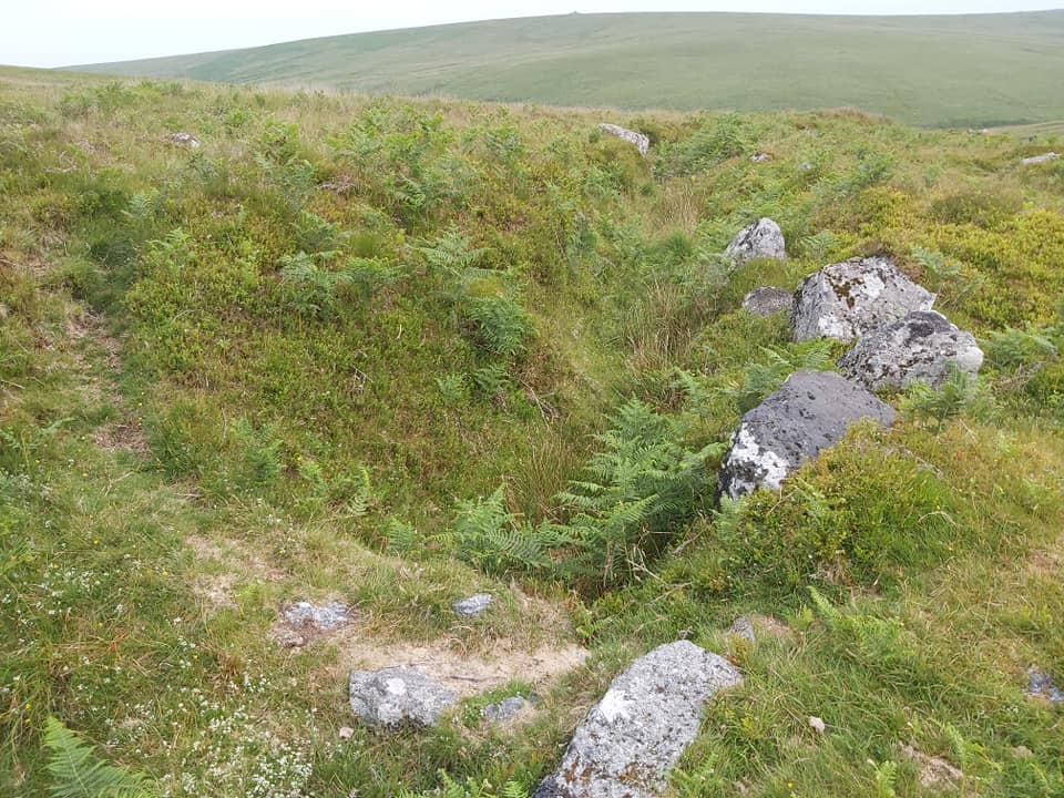
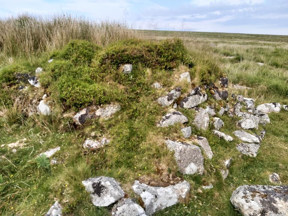
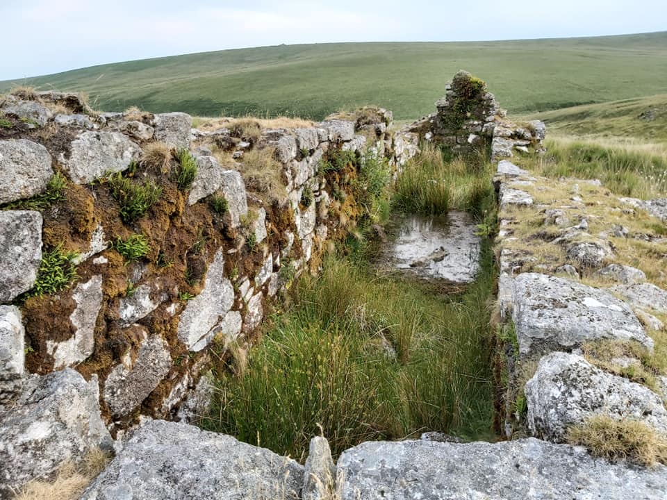
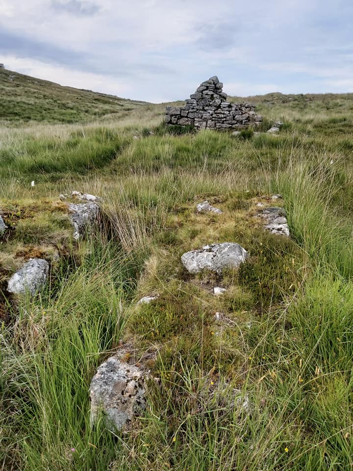
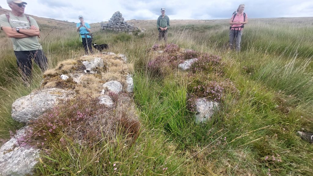
Clapper 2, carrying the main track to Huntingdon Warren The ford just upstream from clapper 2 Waste Heap (right) with view to Huntingdon Warren. SX66777 66994 Wheel pit, stated by Dave Brewer as 30ft. SX66783 66971 Mystery depression below the wheelpit. It looks like a possible adit (?) with the entrance below where photo taken from. When I was here in the winter (2019), this was flooded by several feet. SX66770 66953. The probable adit mentioned by Hamilton-Jenkin is likely to be 100m south of this point (straight line down from this point near the wall where the small ‘green hump’ is)The final years of the mine with acknowledgements to Stephen Holley (DTRG Chairman) through his walk notes in August 2026 with additional information from the Mining Journal and Hamilton Jenkin (Mines of Devon)Mining Journal extract from 12th December 1863, suggesting the name Devon Wheal Vor was still extantProbable Buddle. SX66777 66943Possible 2nd Buddle below the first (or is there only one as per the Dave Brewer sketch). SX66768 66935 There are two parts to the barracks. This is the upper section. SX66803 66951 ……and the lower section of the barracks. SX66794 66953The count house in foreground (SX66823 66961), with the barracks in the background The powder house near the waste heap. SX66770 66985Shaft a. (SX66825 67001)Shaft b. (SX66842 66998)Shaft c. (SX66854 67004)Shaft d. (SX66884 66999)Shaft e. (SX66895 66994)Shaft f. (SX66913 66992)Shaft g. (SX66952 66993)Lukey’s Shaft (probable location). SX66978 66987Bishops Shaft (probable location). SX67022 66983Dressing Floor 1 (SX66778 66922)Dressing Floor 2 (SX66799 66911)Leat 3 snaking it’s way from the Avon through the Huntingdon Warren enclosuresLeat 3 crossing Leat 4 on it’s way to Brock Hill Head, Hayford Hall and the Mardle. SX66718 66778. There would have been a launder with supports hereLeat 4 running parallel to Western WellabrookLeat 4 entering Western Wellabrook at SX66668 66698Leat 4 entering Western Wellabrook at SX66668 66698Leat 5 (L5) take off point near where leat 4 enters the Western Wellabrook. SX66678 66704Clapper 3 – across leat 5 at SX66662 66651Launder Bank for the 40ft wheelhouse. SX66626 66579
View from the launder to the 40ft wheelhouse below.
40ft wheelhouse at SX66586 66507Members of DTRG in August 2026 at the 40ft wheelhouse
Balance Bob at SX66581 66490
Members of DTRG in August 2026 at Balance BobBalance Bob in August 2026
Members of DTRG in August 2026 at Balance Bob. Picture by Emma Cunis
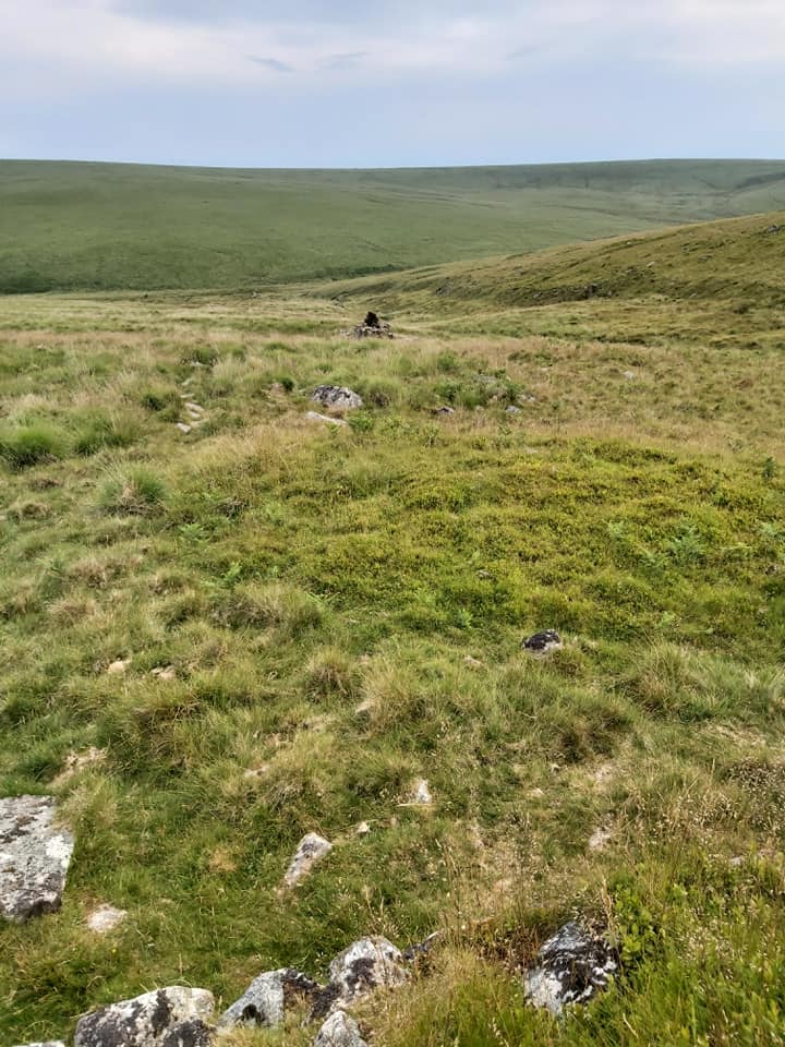
One final view of the mine (June 2020). The E/W line of Pits and Shafts very distinct from Huntingdon Warren Farm.
Picture from August 2026 (Lionel Ford)
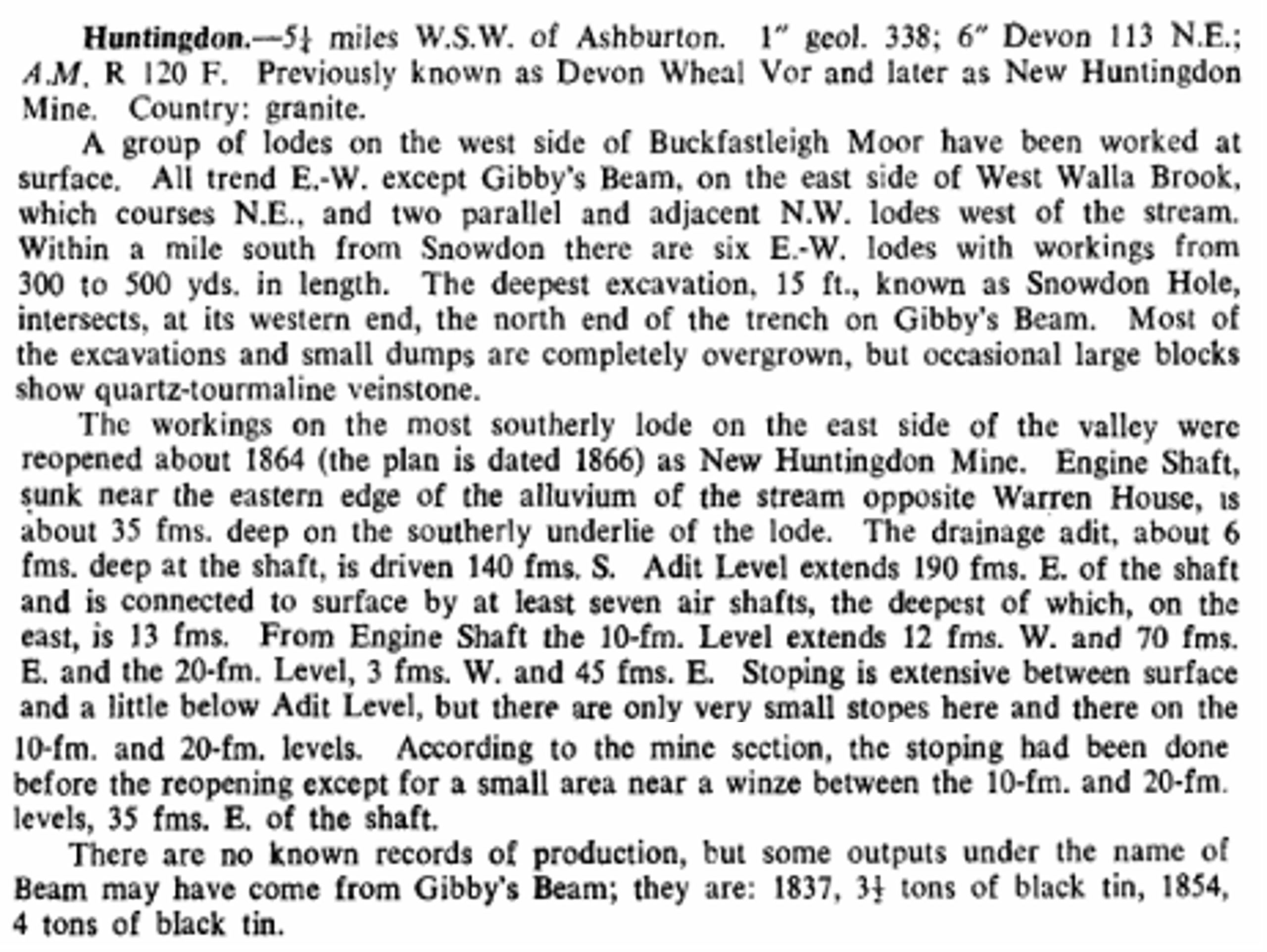
A brief history of the mine from Dines (1956) – Metalliferous Mining Region of South West England – pages 729/730. An interesting comment about the nearby Gibby BeamDines – Addenda and Corrigenda (in 1988 reprint)


Richard Horsham December 22, 2025
I thoroughly enjoy your well researched work with informative images and maps. Thanks for posting them online.
SteveGriggDartmoor December 22, 2025 — Post author
Thank you for your kind comment Richard
Regards,
Steve (Dartmoor Explorations)
Richard Horsham December 22, 2025
I’d love to add a comment, however when I try to Post it I gat the message that, “you’ve already said that”.:
Any advice please ?
SteveGriggDartmoor December 22, 2025 — Post author
Hi Richard,
This second comment of your appears to have come through.
Was there another comment you’d like to make
Kind Regards,
Steve (Dartmoor Explorations)