A collection of walks, discoveries, insights and pictures of exploring Dartmoor National Park
July 24, 2020
Holne Moor – pudc standing stones
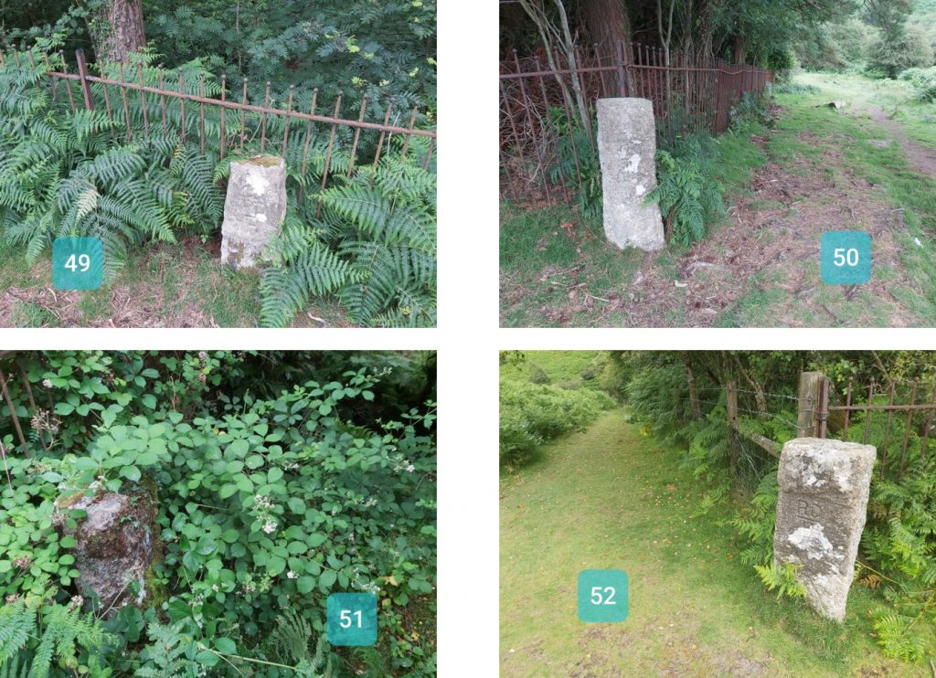
An exploration of the Holne Moor following the route of the Venford Reservoir Watershed, which is mapped out by 52 standings stones marked with PUDC on one side and RDH on the other.
This is a lovely walk with lots of fabulous views and has built in “navigation aids” (ie the stones). There is an opportunity to also see stones rows, carins, leat systems, a cross and tin mines in this area.
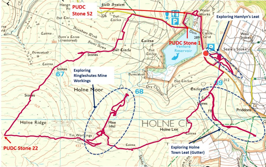
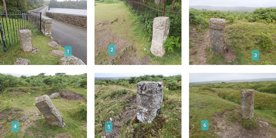
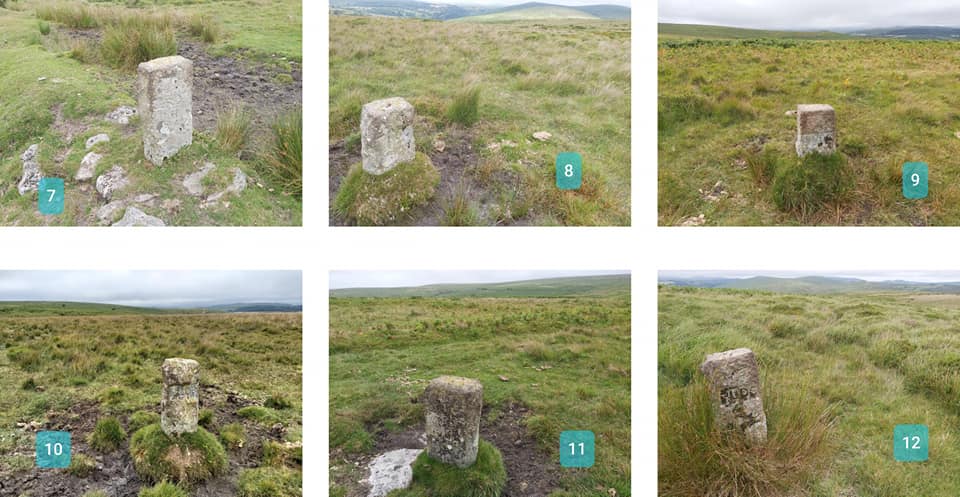
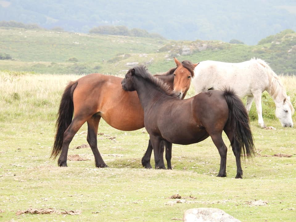
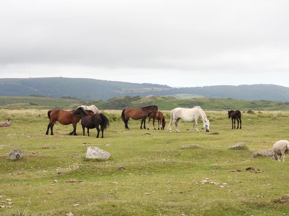
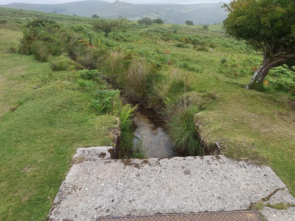
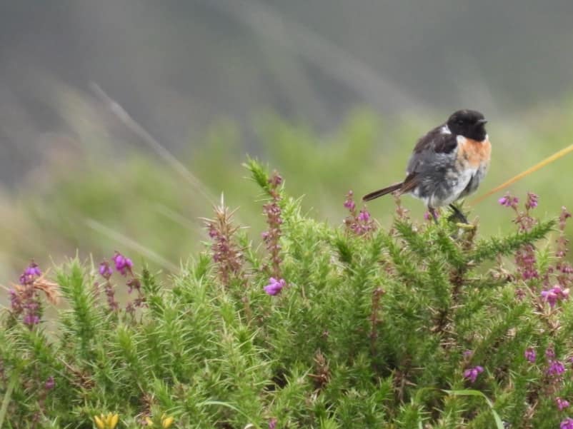
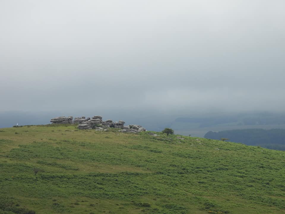
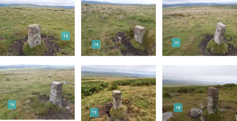
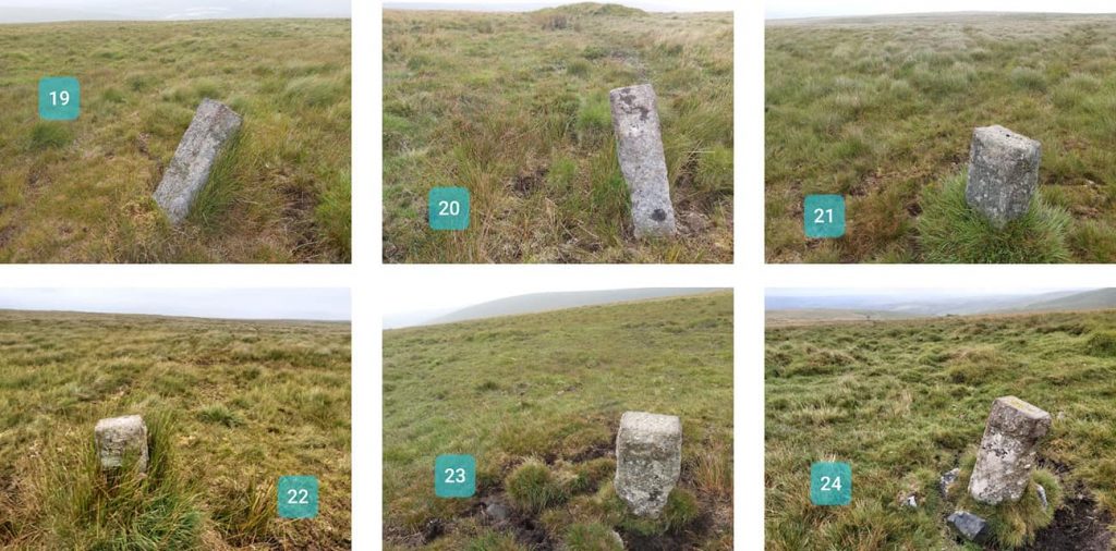
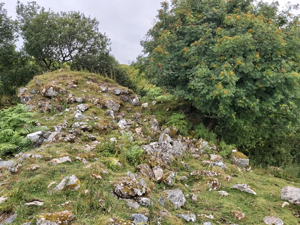
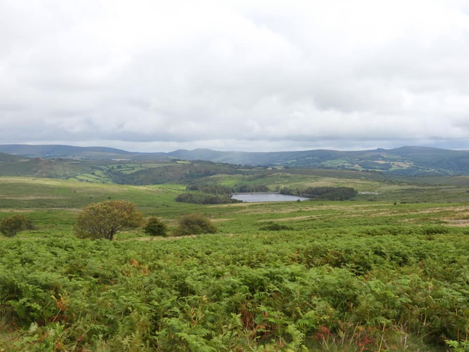
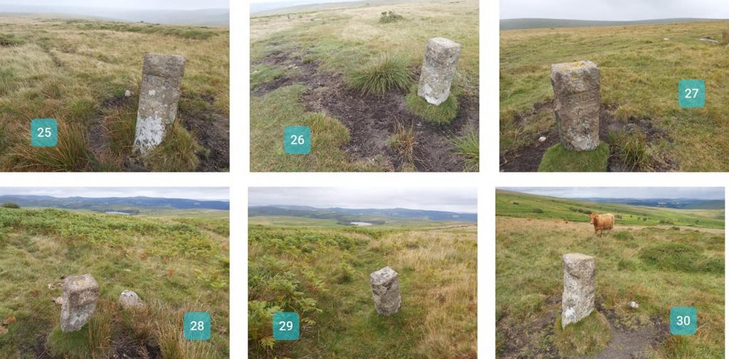
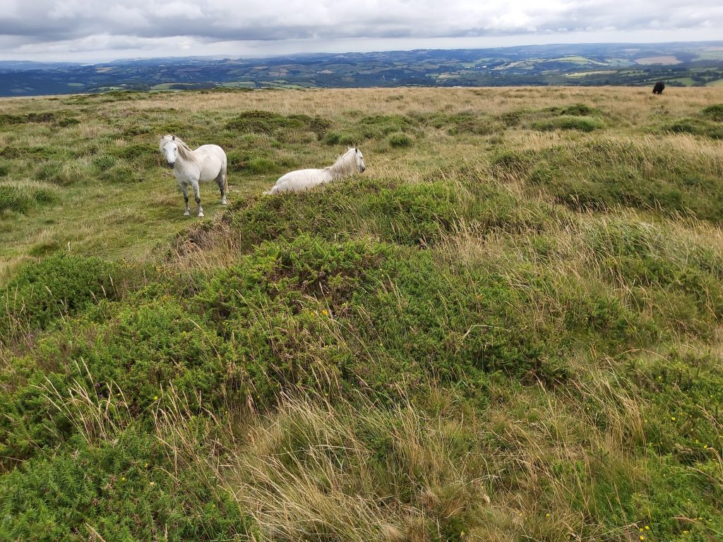
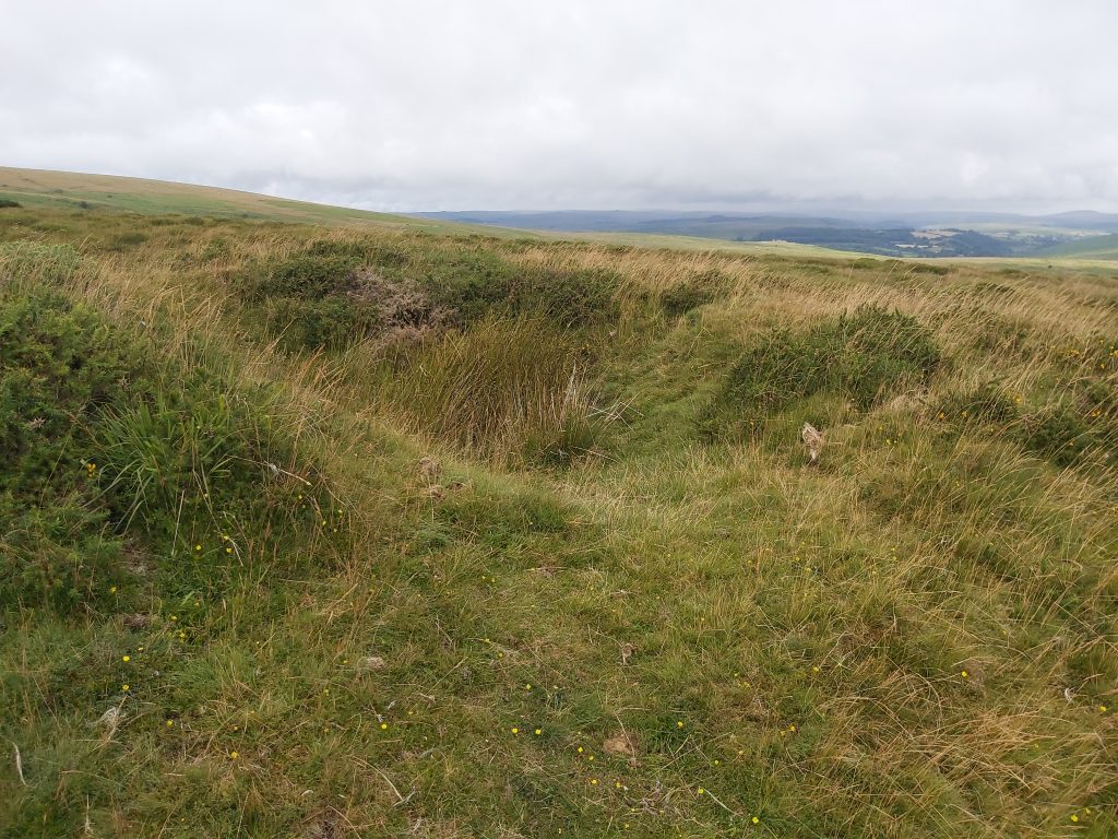
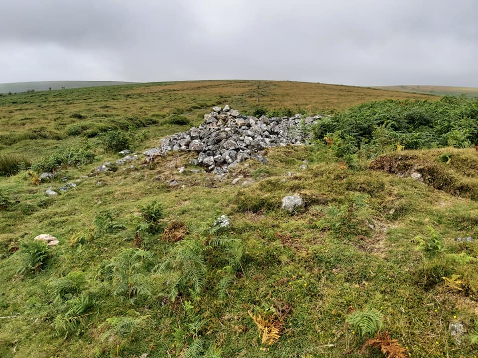
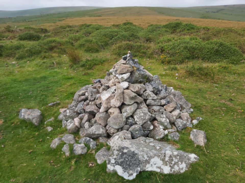
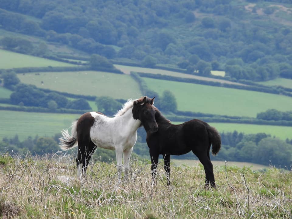
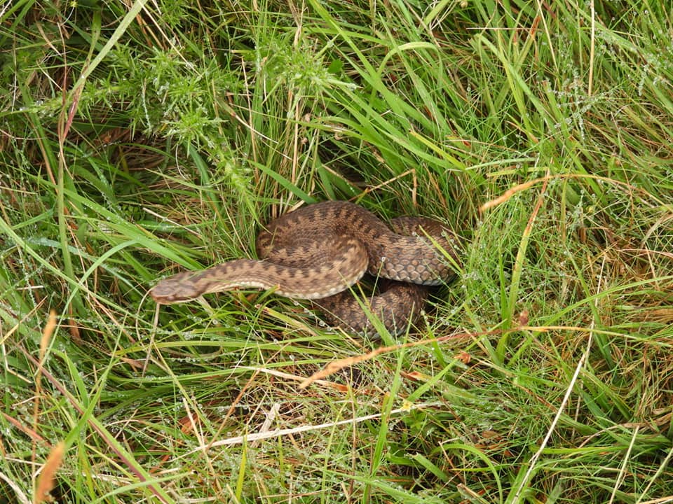
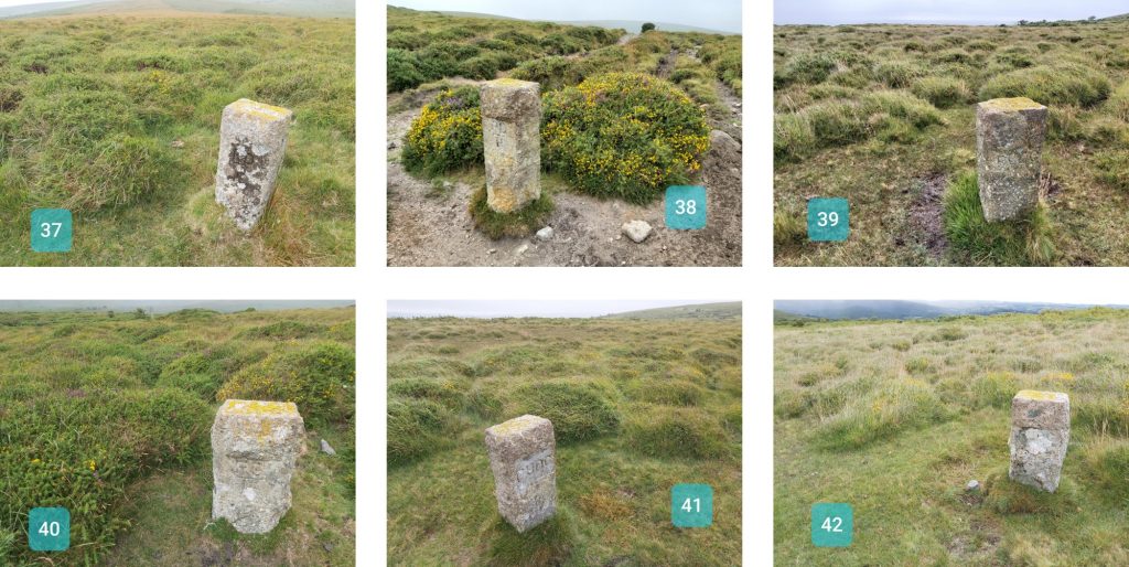
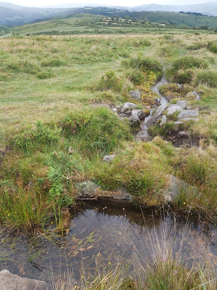
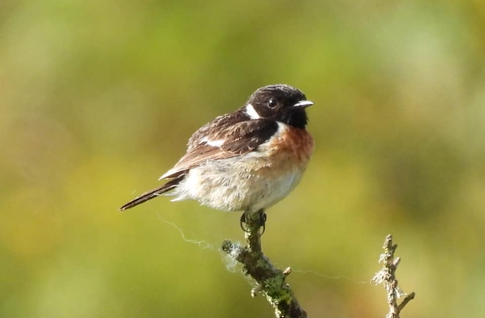
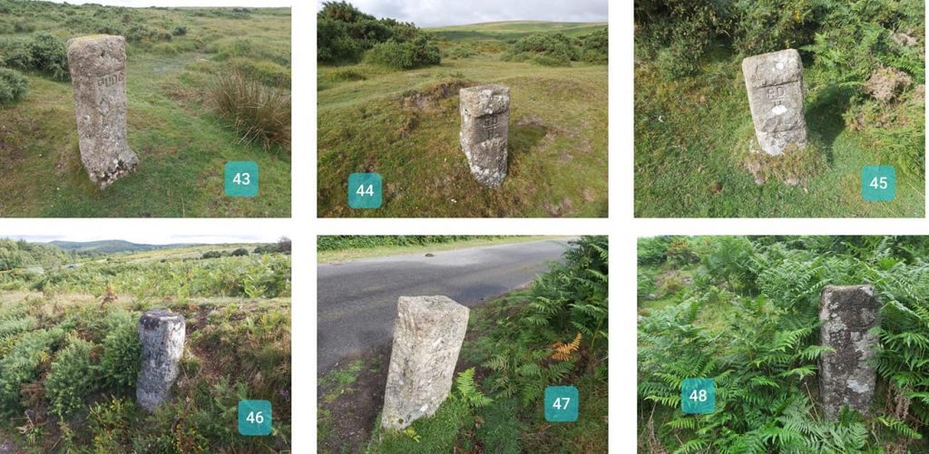
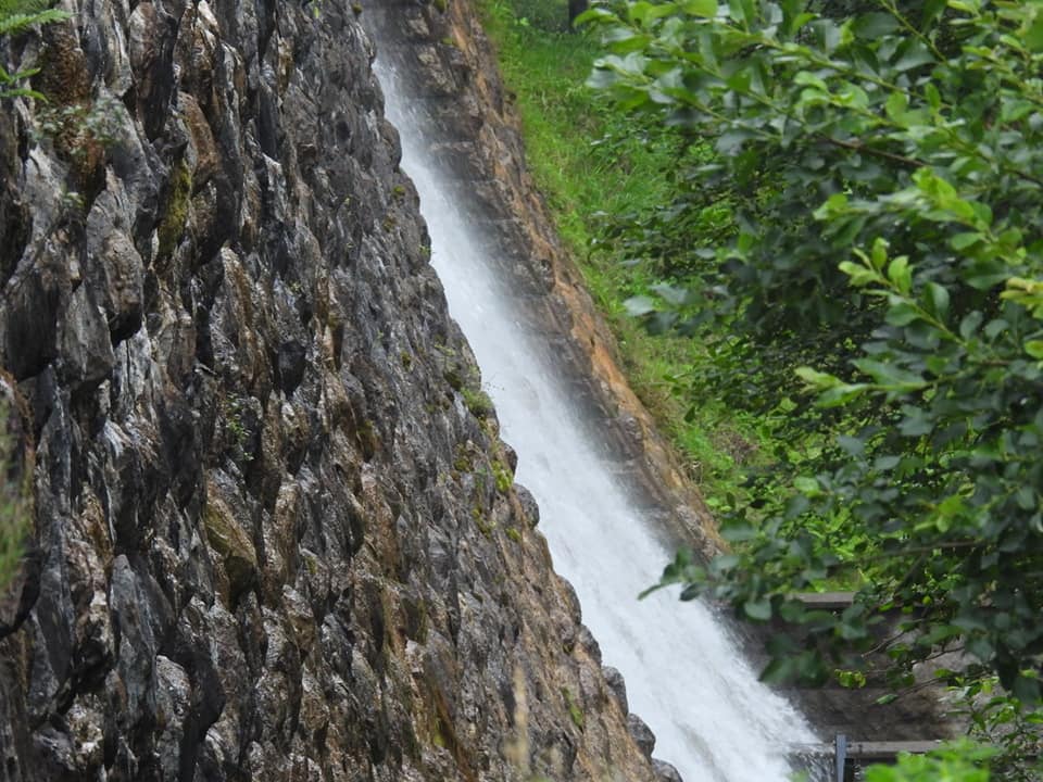
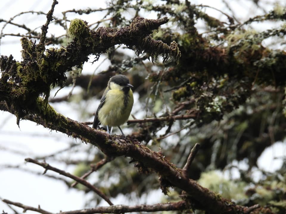
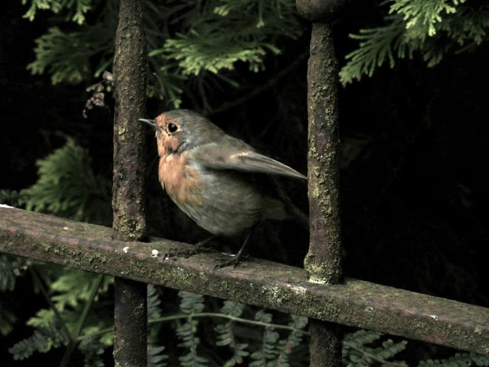
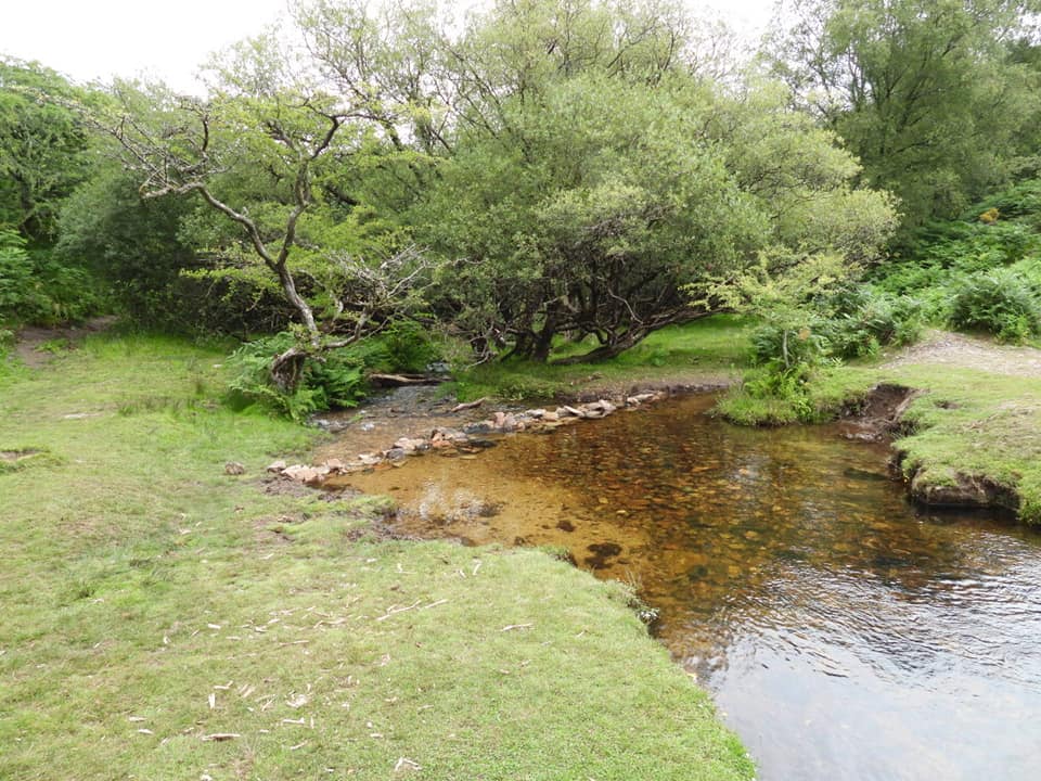
The route followed. Of course exploring the leats and Ringleshutes adds to the distance covered. The distance is around 10km without the “side trips”.These GRs are taken from Dartefacts. If you were to undertake the walk, I’d print these off as, although each stone is relatively easy to find, some are slightly hidden by vegetation or are in little hollows.Stones 1-6. Paignton and Urban District Council (PUDC) Water Works Boundary Marker Stones of Venford Reservoir are inscribed PUDC on one side and RD/H on the other. RD/H stands for ‘Richard Dawson, Holne’, from whom Paignton Water Works purchased 700 acres of Holne Moor, paying £11 per acre. (Source Dartefacts)Stones 7-12. The reservoir was constructed in 1907 to supply water to the Paignton areas and these stones mark the watershedMutual groomingPonies with view to Bench TorHamlyns Leat goes underground at SX68335 71284StonechatCombestone TorStones 13-18, climbing the hill to Holne RidgeStones 19-24, around Holne Ridge. The views from here are superb.Part of the side trip to Ringleshutes Mine, this is he old Engine House with shaft (where tree is) alongside.Even on a dull day the vistas towards the reservoir and beyond are superb. Views from Buckland Beacon around to Hameldon can be had.Stones 25-30, above the Ringleshutes Mine area.Stones 31-36. There are some cairns in this area and views southwards over Scoriton and Michelcombe.This was taken on top of an overgrown cairn at SX67919 69600Another cairn. SX67984 69631Cairn at SX68497 69795An yet another cairn. SX68646 69910I love the markings of the black and white pony.A lovely female adder, near Holne Town Leat (Gutter). These sightings are extremely rare. In fact, I have only ever seen half a dozen of these in the last 40 years.Stones 37-42, descending the hill back towards the east side of the reservoir.A bullseye take off point on the Holne Town Leat (Gutter).Another Stone ChatStones 43-48, east side of the reservoirThe reservoir dam. The reservoir was constructed in 1907. The Engineer was Fred William Vanstone and the Contractors were Hawking & Best, Teignmouth. The Reservoir was opened by F. Layland-Barratt Esq. M.P. on June 26th 1907. (Source Dartefacts)Juvenile Great TitRobin on reservoir railings below the dam.Brook below the damFinally, stones 49-52. Please note 51 is near the Brook and can only be approached from the East side.