A collection of walks, discoveries, insights and pictures of exploring Dartmoor National Park
April 8, 2022
Harford – Ugborough Parish Boundary Markers
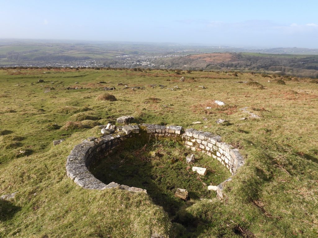
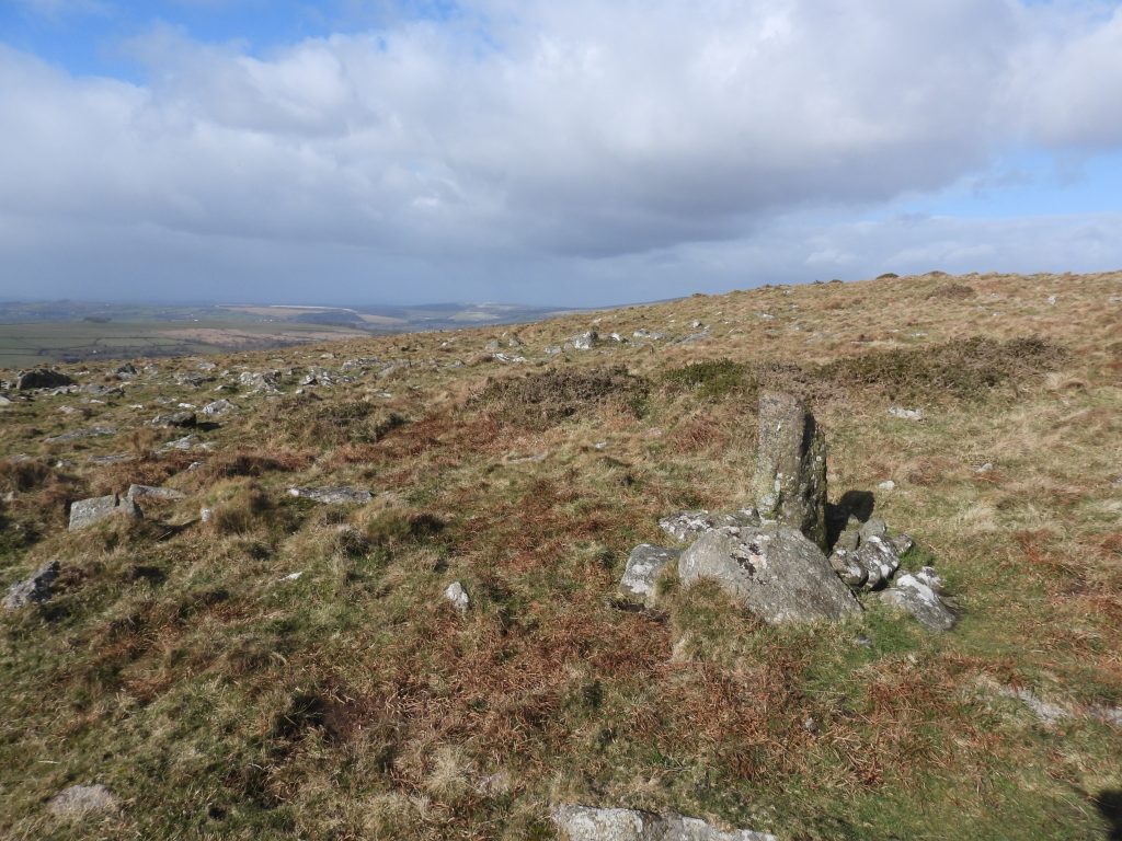
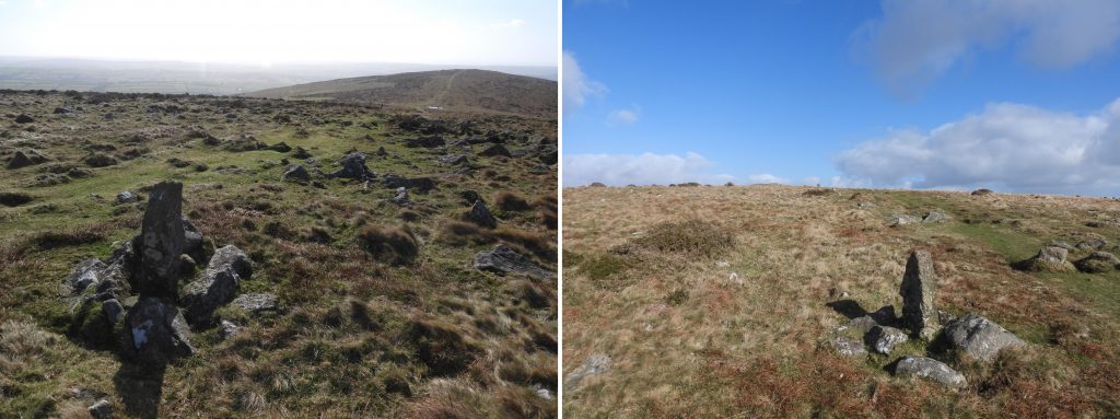
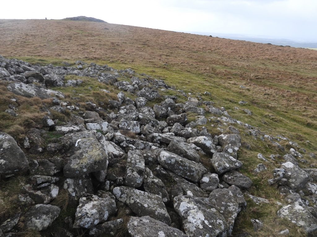
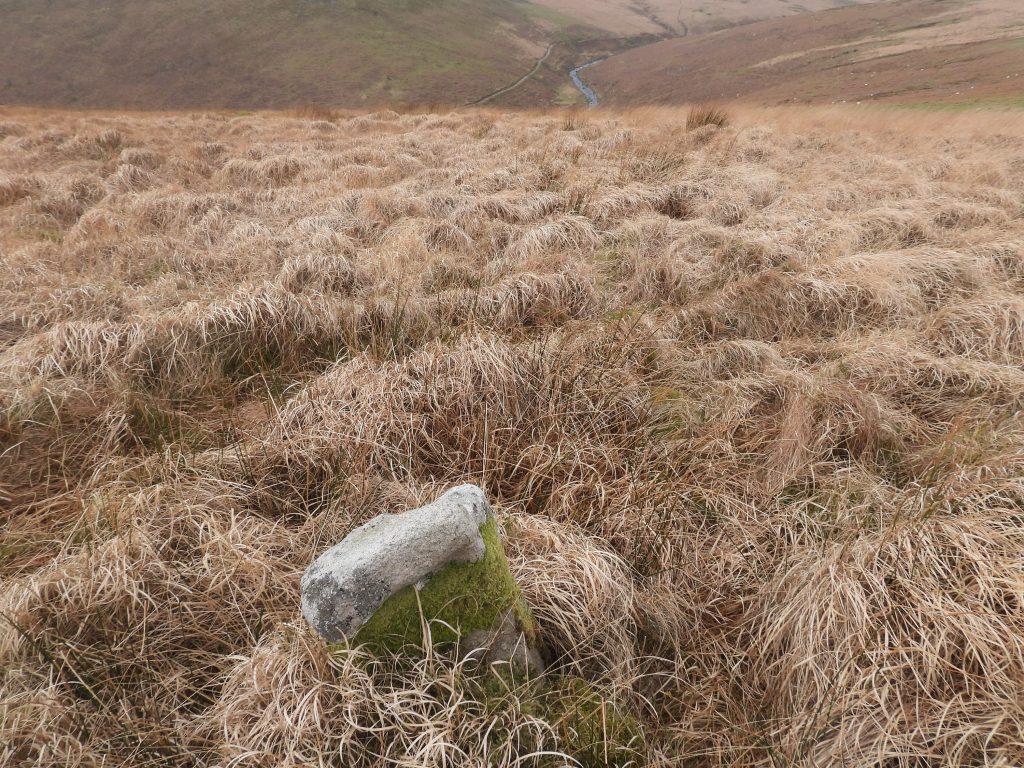
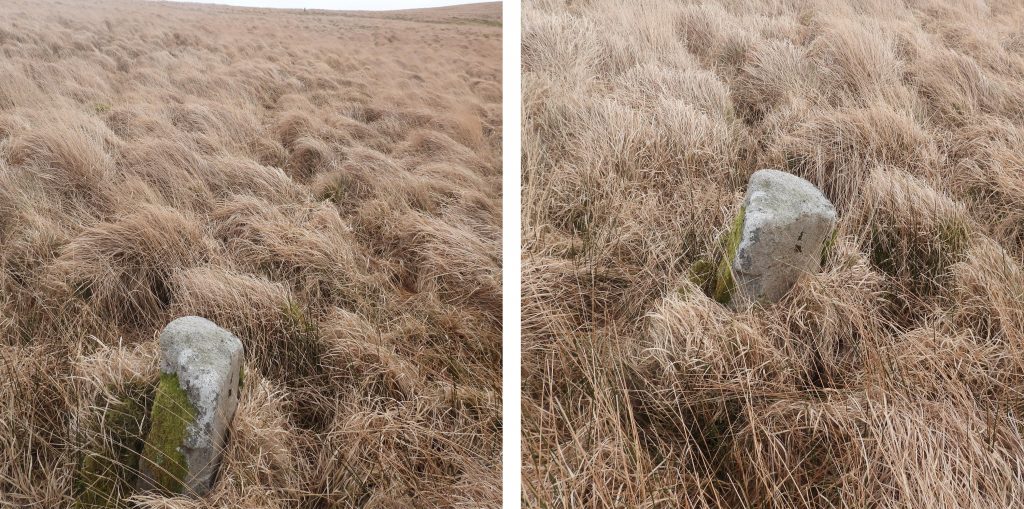
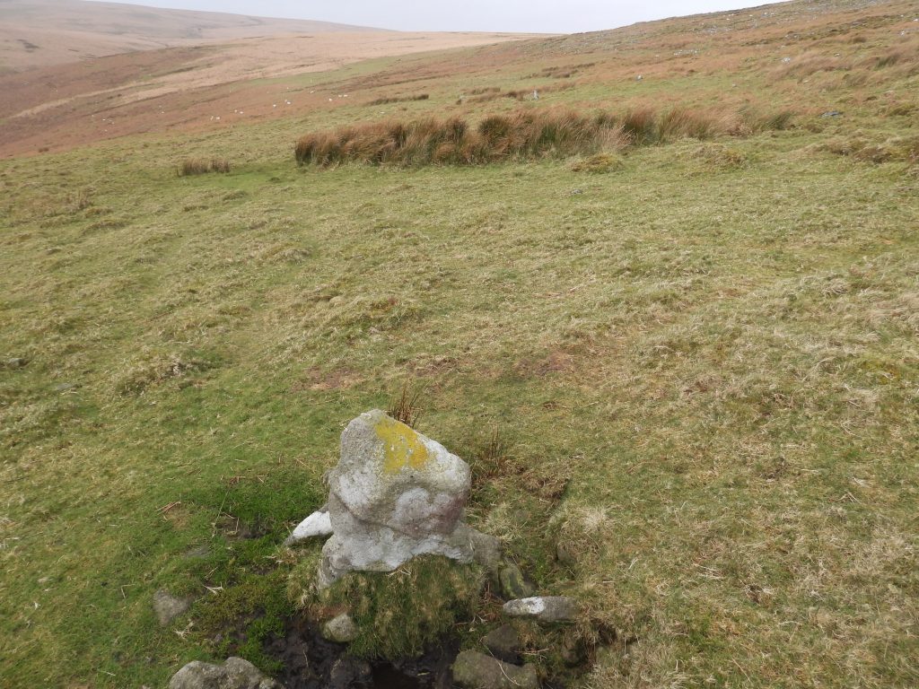
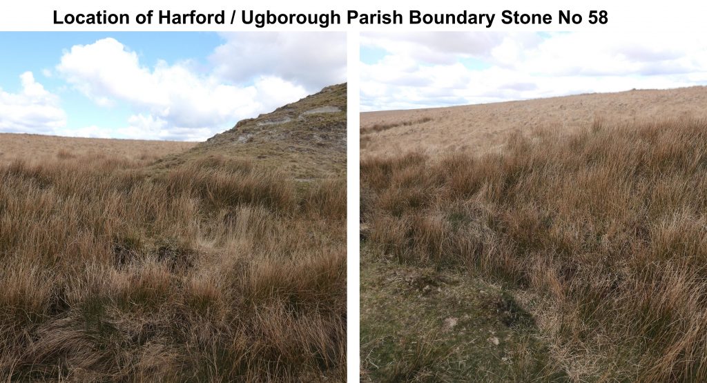
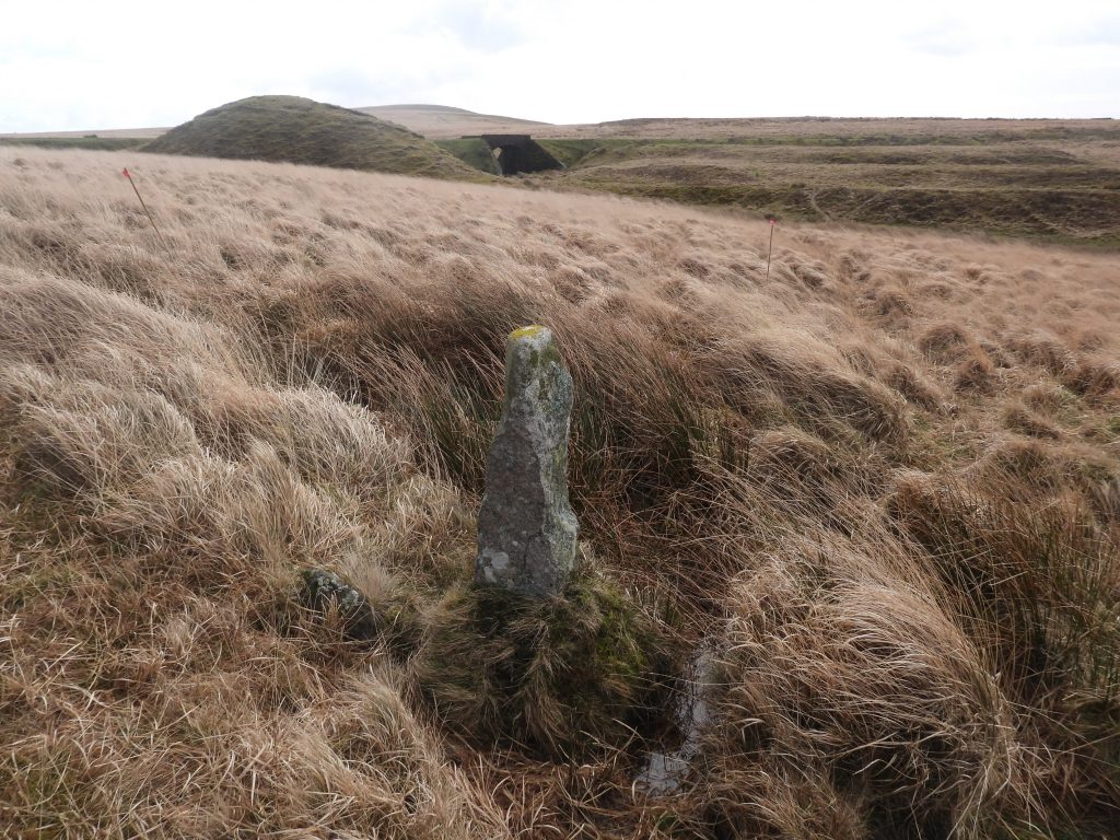
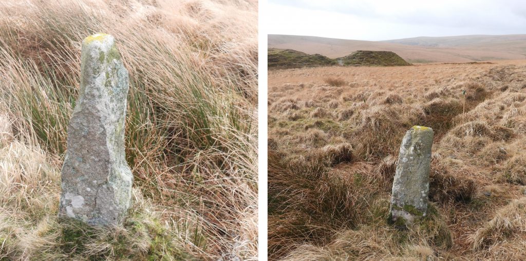
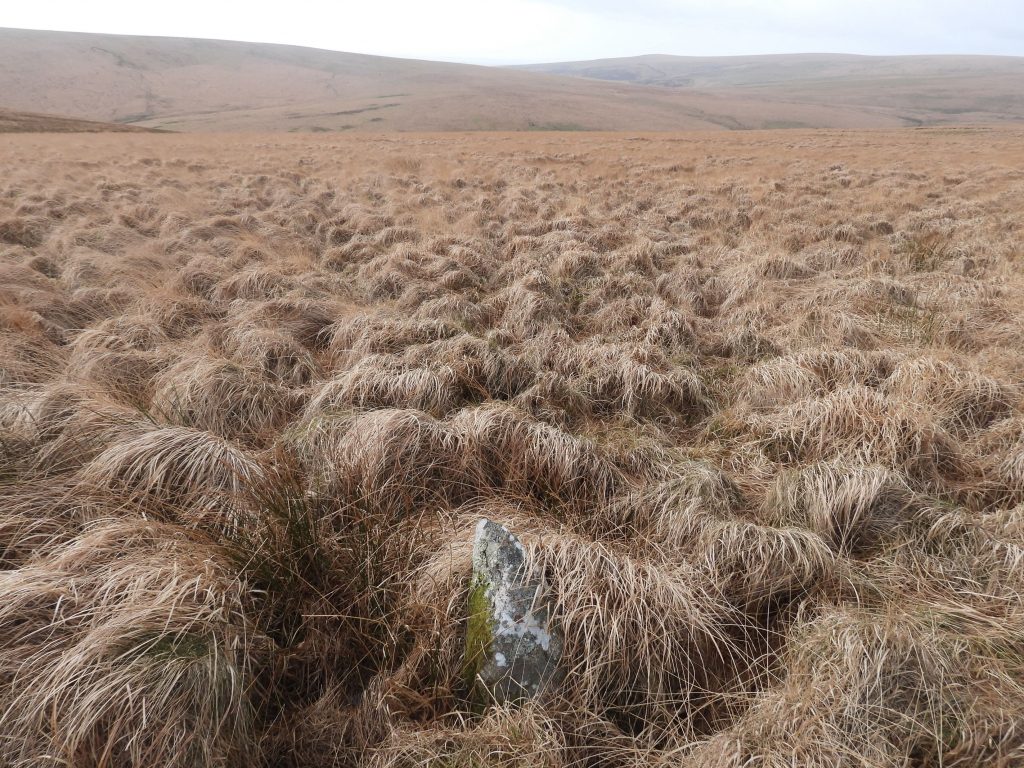
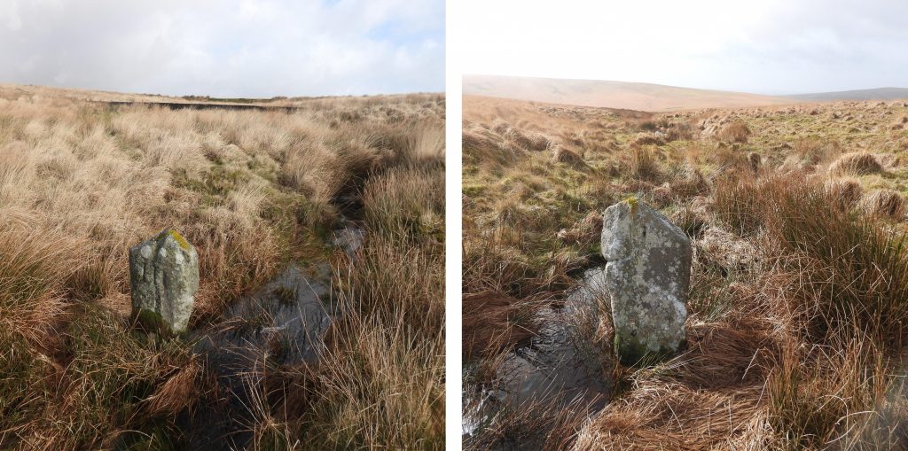
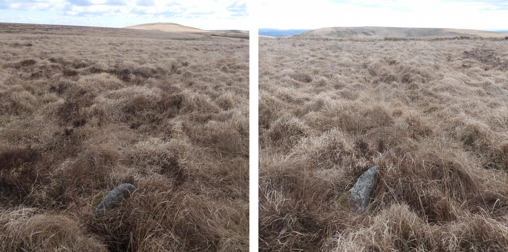
The parishes of Harford and Ugborough are quite elongated on the open moor and in some places are barely 400 metres wide. Since the late 18th century there has been some confusion and controversy over the boundaries of these two parishes. Indeed, between 1782 and 1784 there had been a dispute between a Humphrey Savery of Stowford (Harford Parish) and Thomas Lane of Cofleet (Ugborough Parish). Lane accuse Savery ….”with force and arms broke and entered the Close of East Harford Moor and with his feet walking trod down trampled upon consumed and spoiled grass……” (Note: Full transaction can be found in Dartmoor Boundary Markers – 2nd edition by Dave Brewer – page 141). The court case between Savery and Lane was not settled until 1803. In August and September of 1803 following a survey (with revisions) by a John Andrews 55 boundary stones were erected. There are today at least 84 boundary markers which can be discerned with a further 3 known (making 87) from the 19th century but most likely removed (from Leftlake area). This post covers the entire parish boundary from “Prowse’s Rock” in the south (near Ivybridge) to the “Outer U Stone” in the north next to Red Lake.
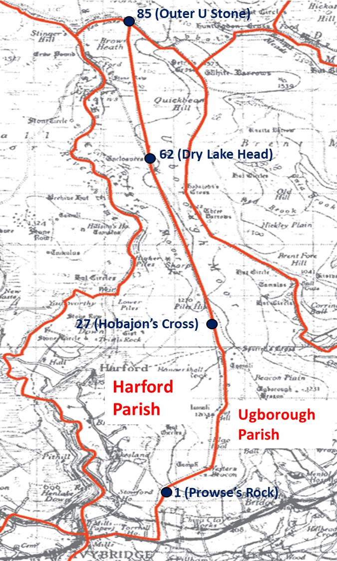
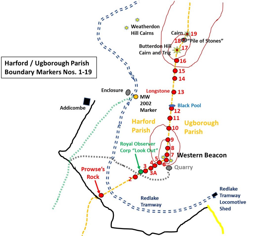
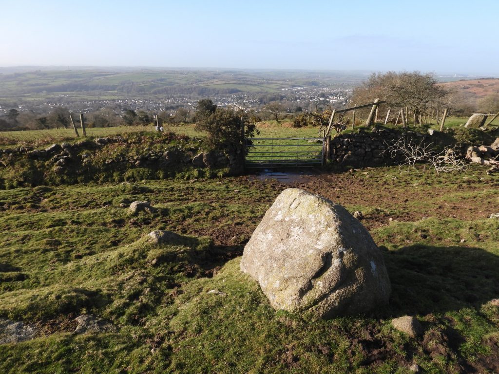
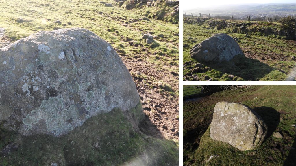
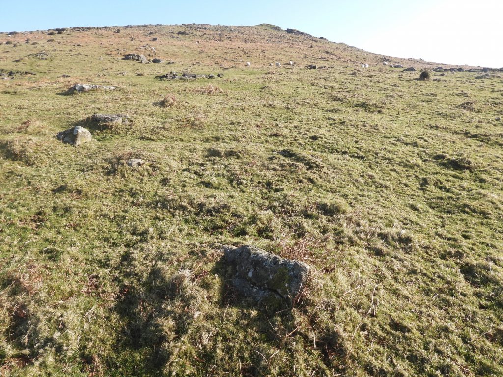
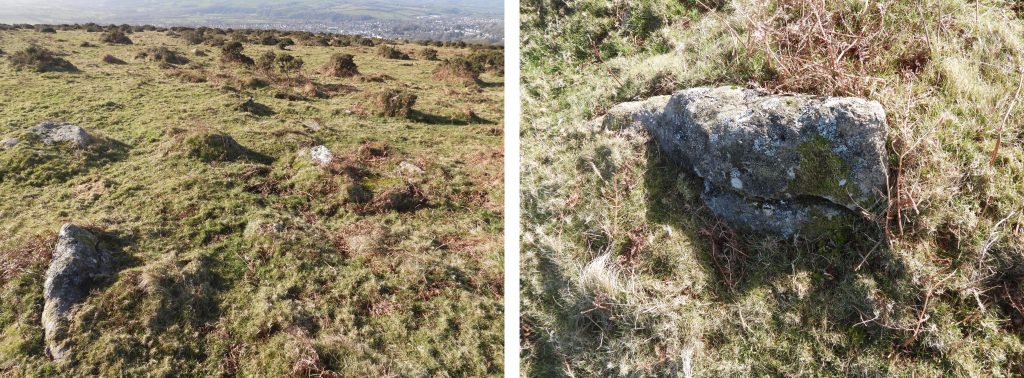
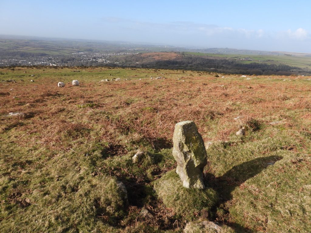
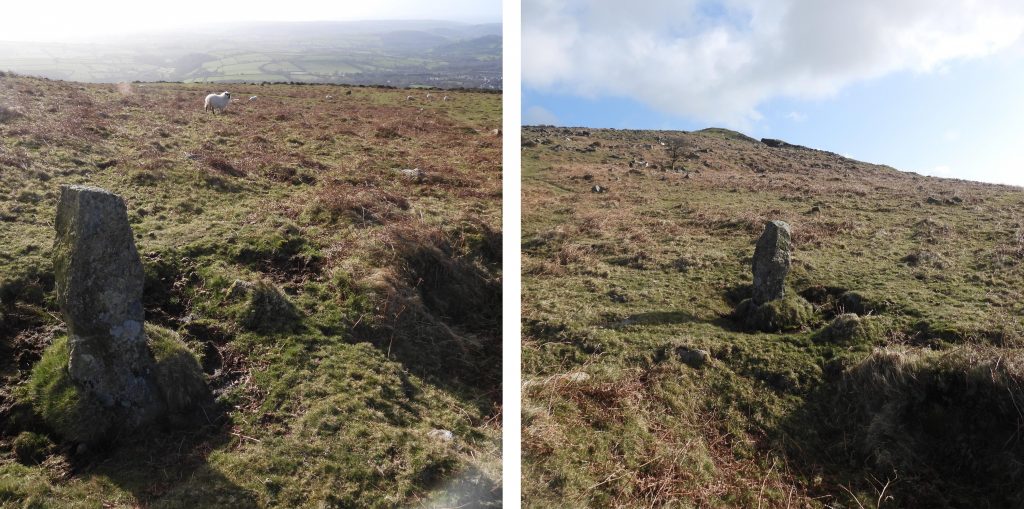
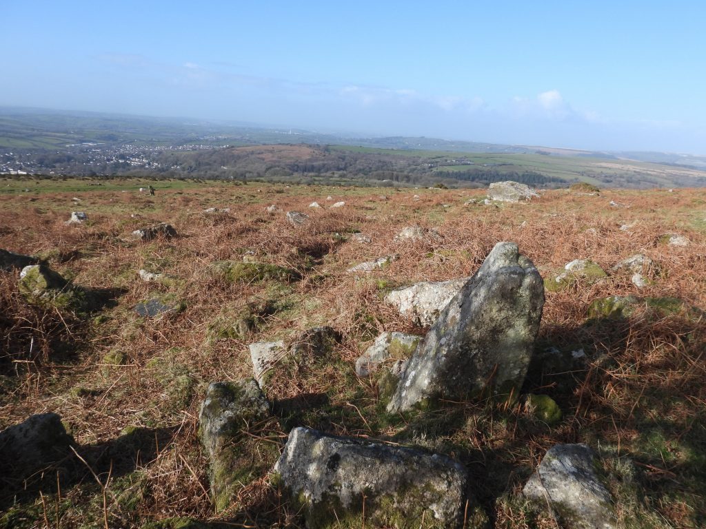
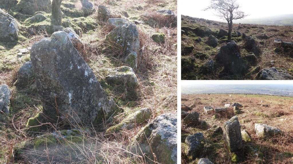
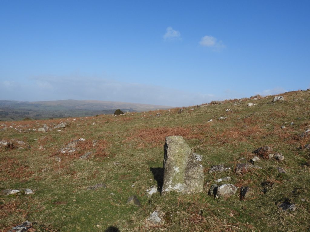
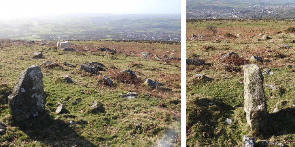
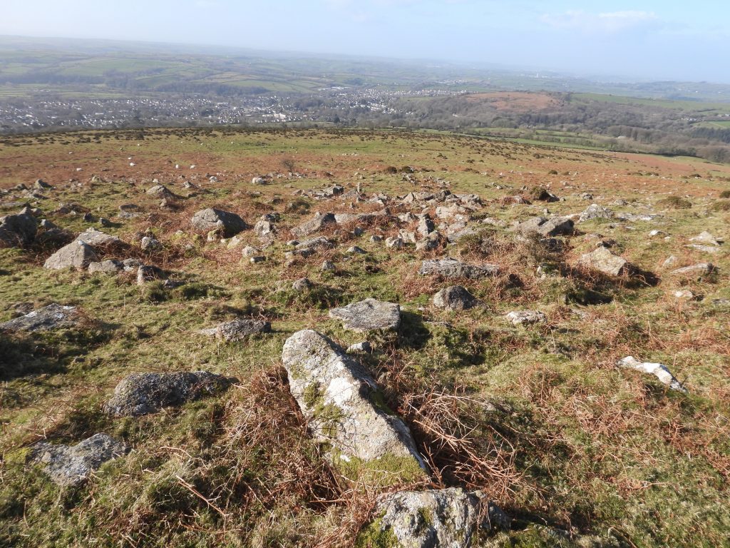
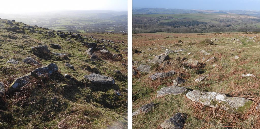
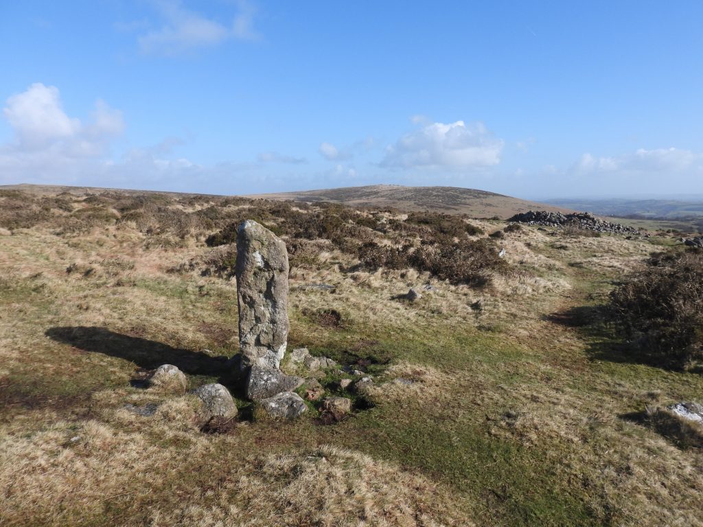
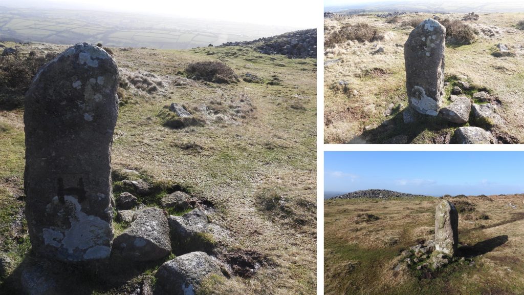
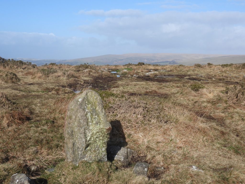
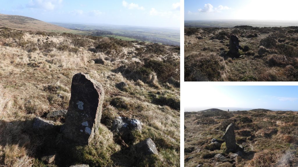
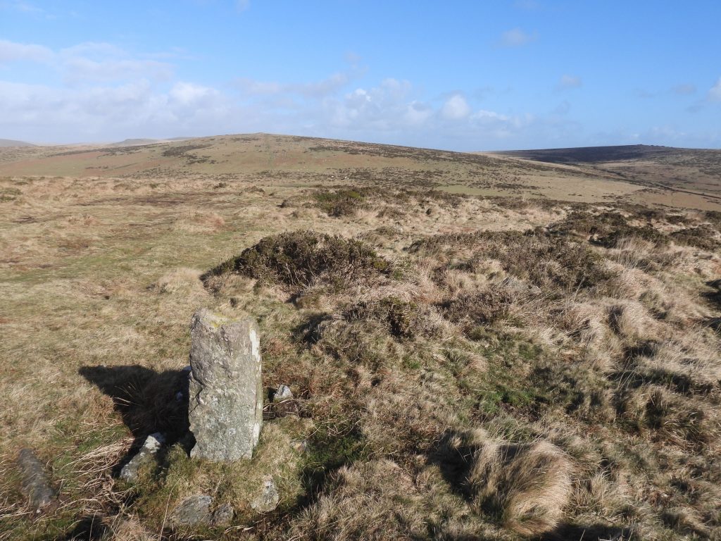
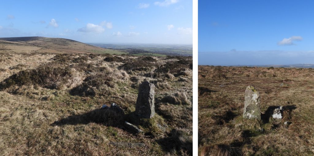
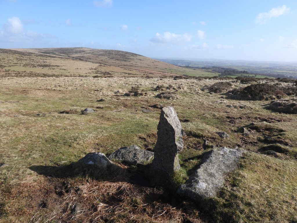
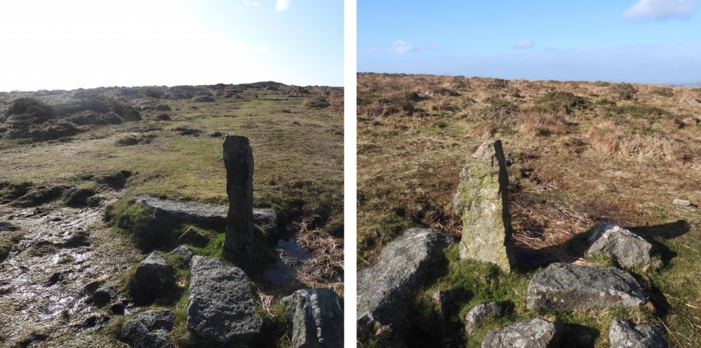
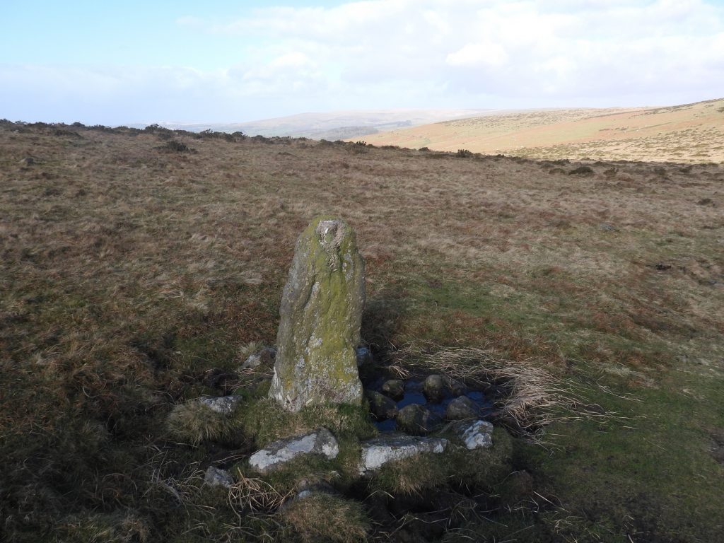
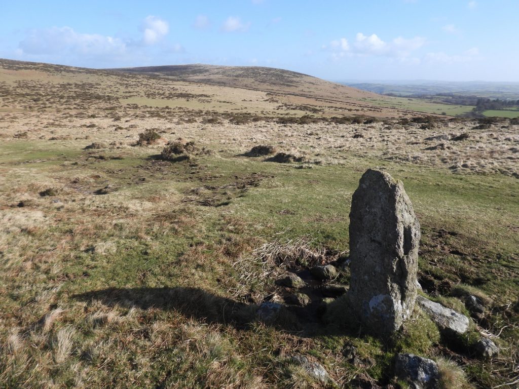
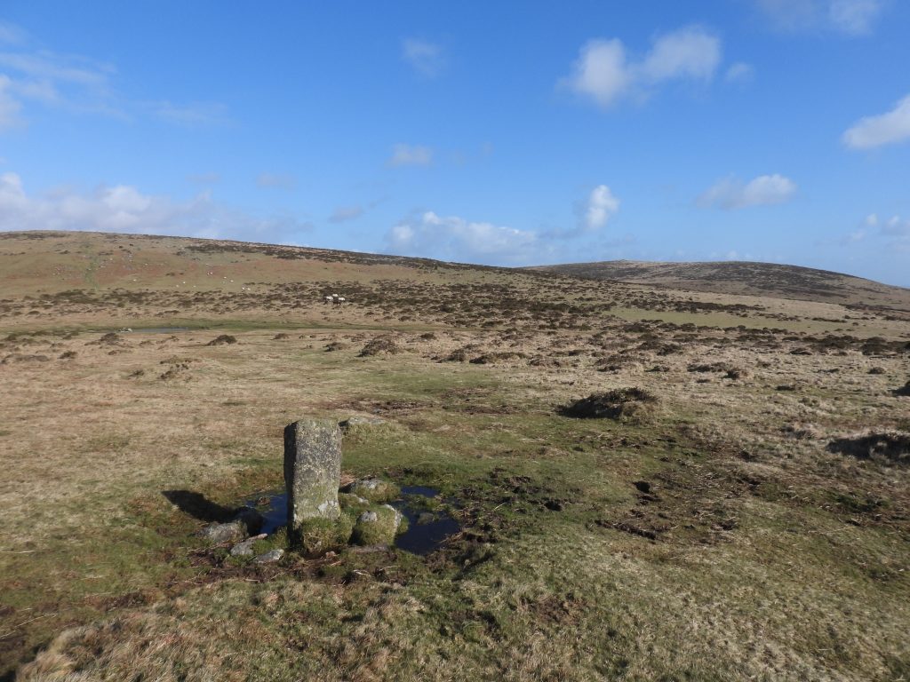
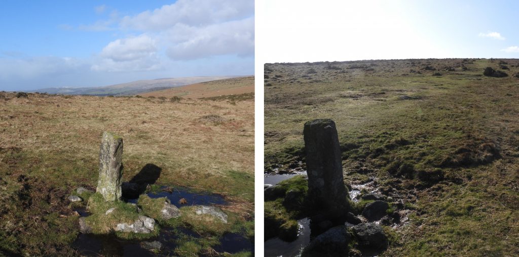
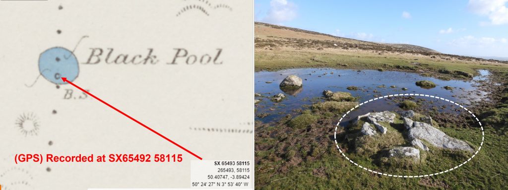
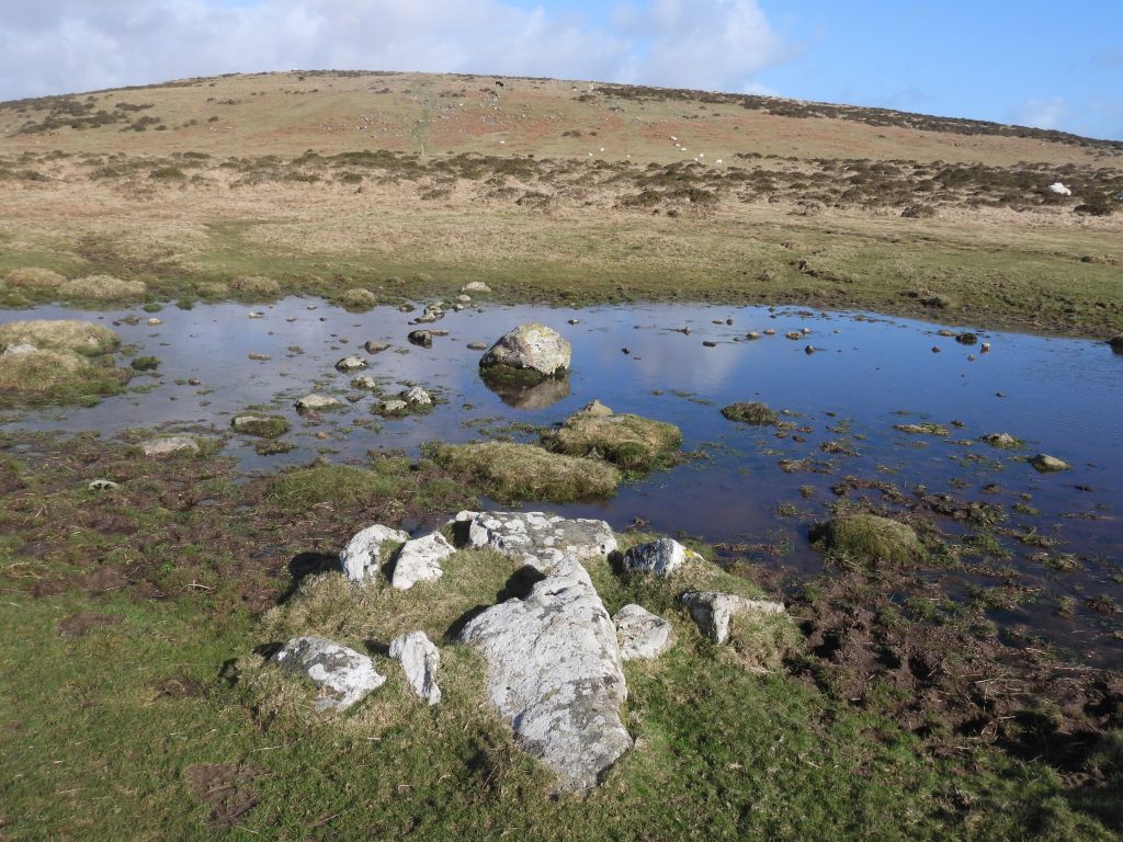
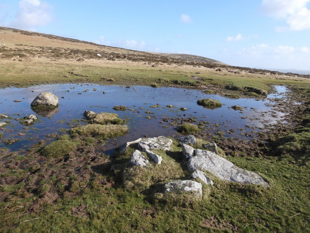
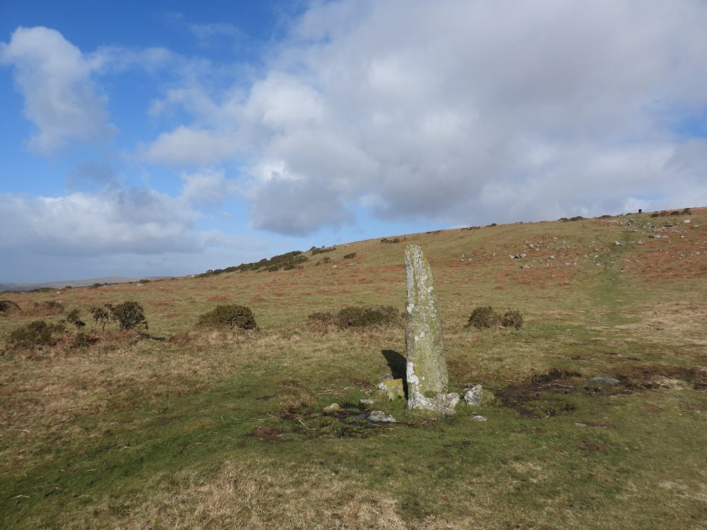
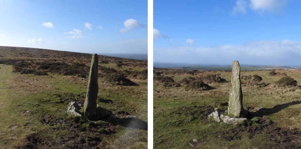
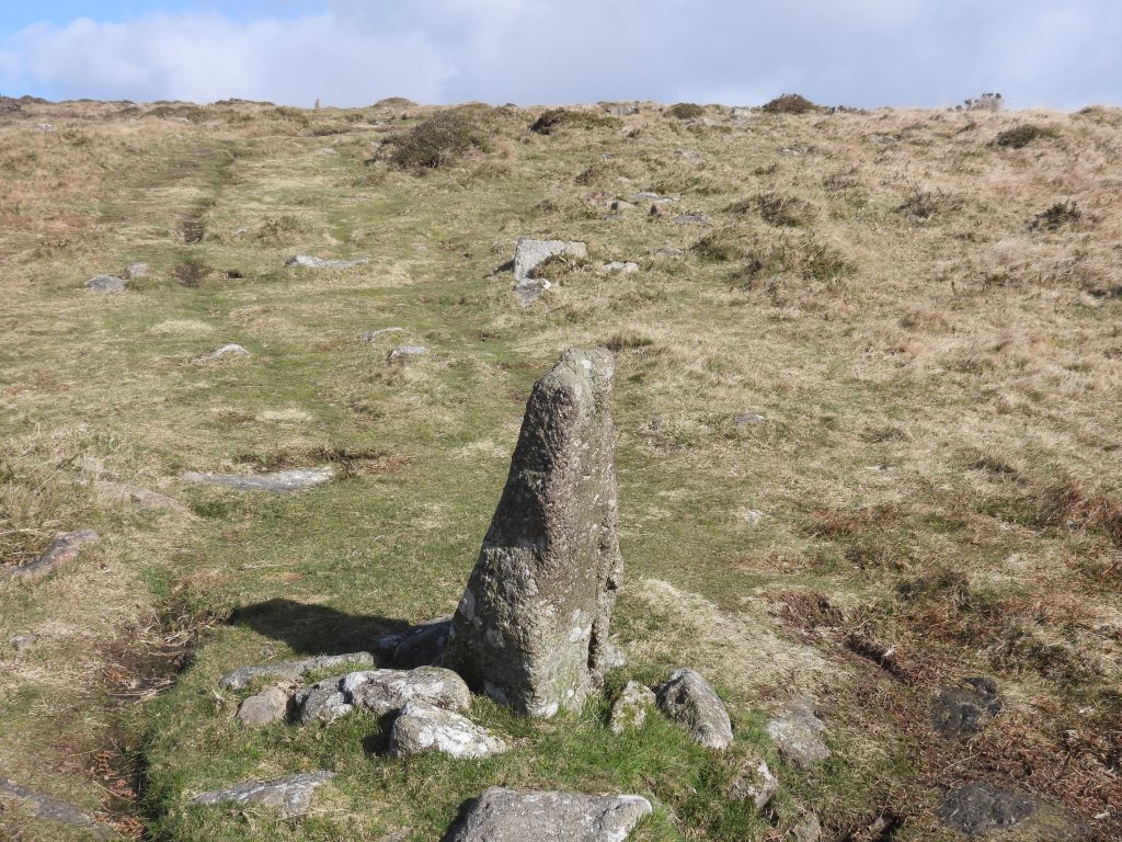
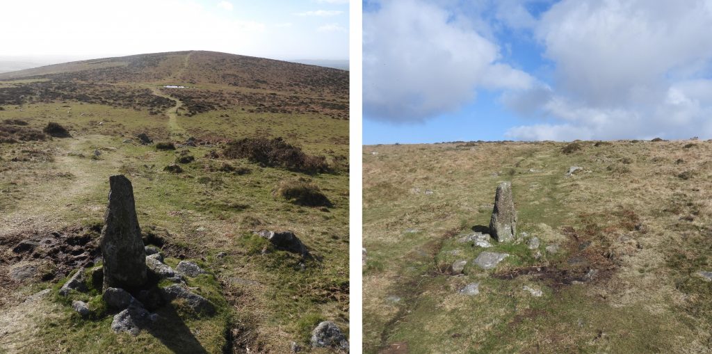
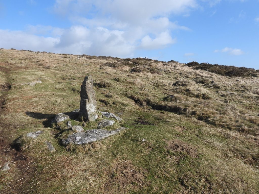
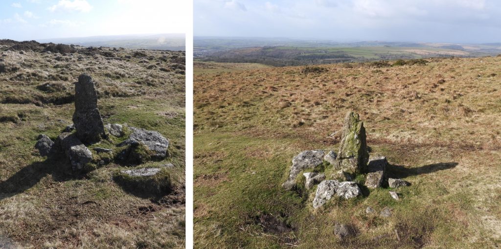
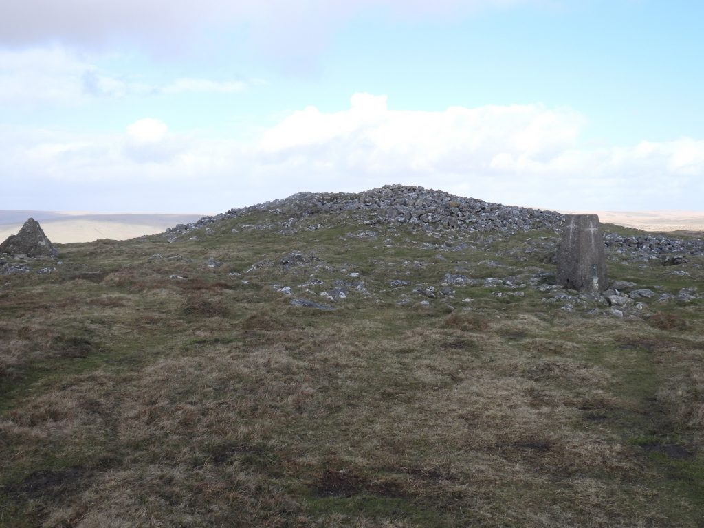
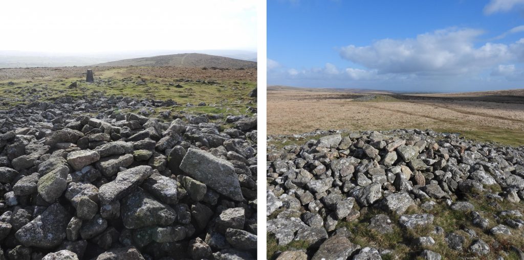
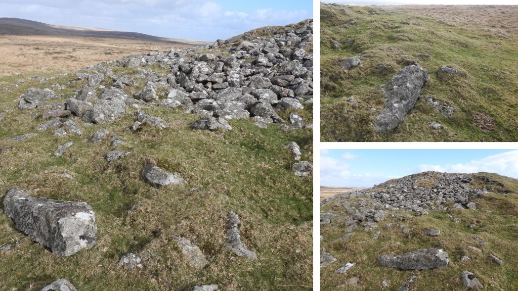
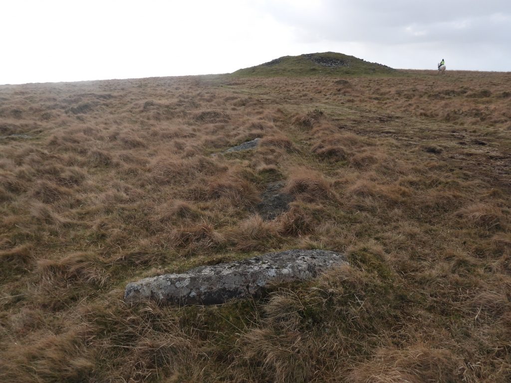
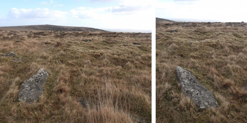
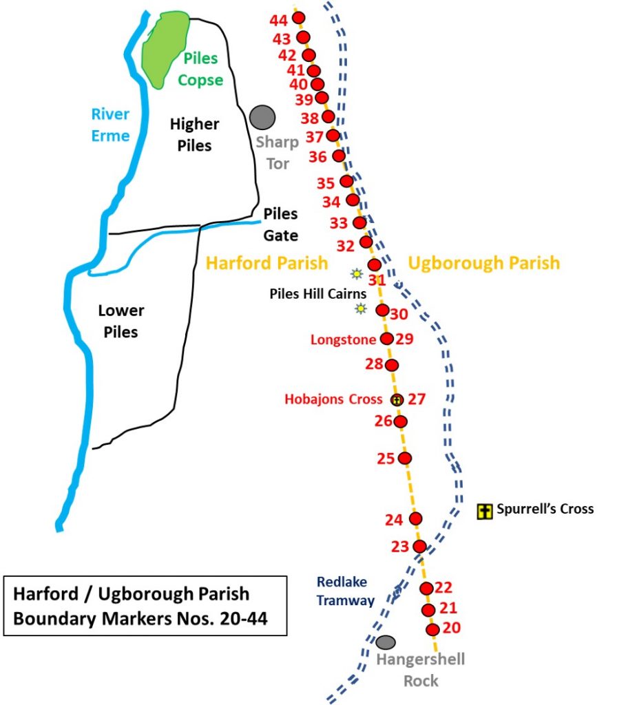
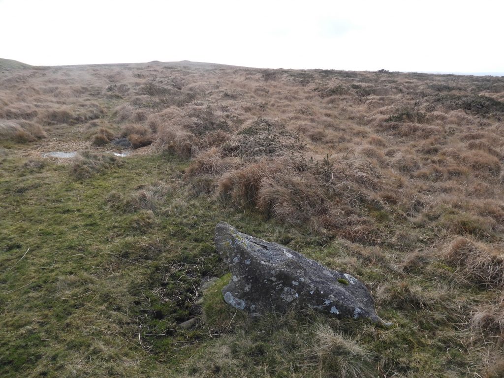
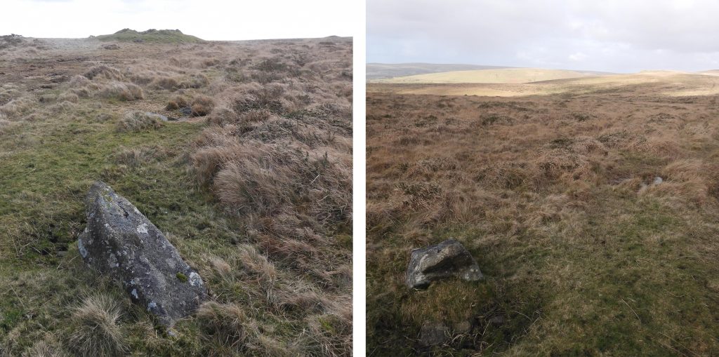
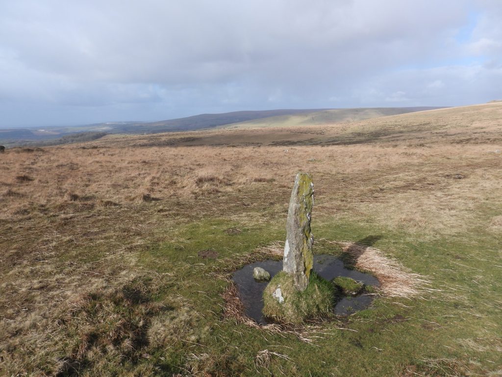
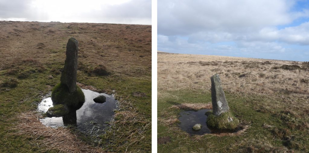
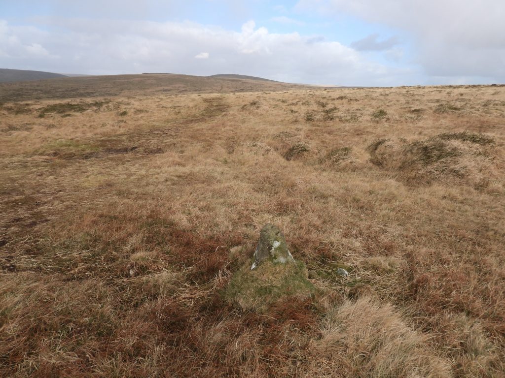
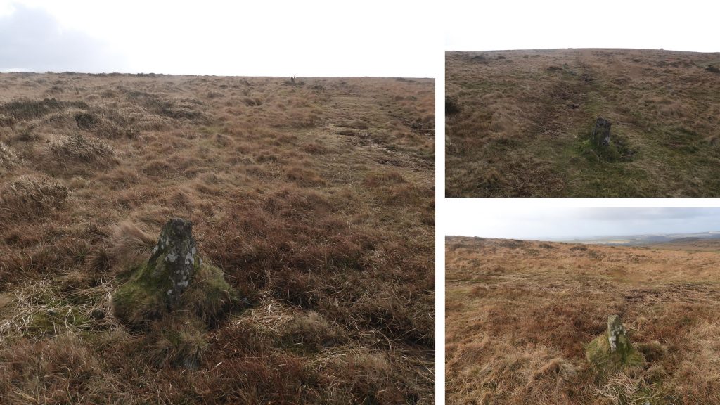
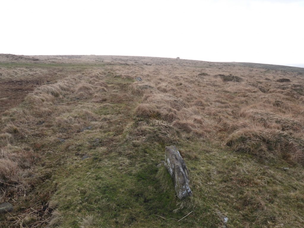
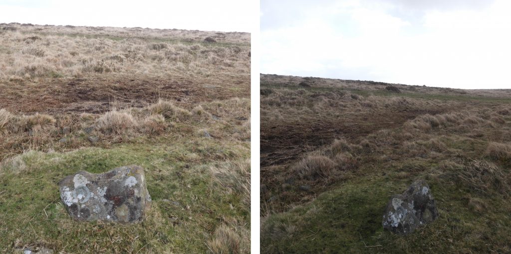
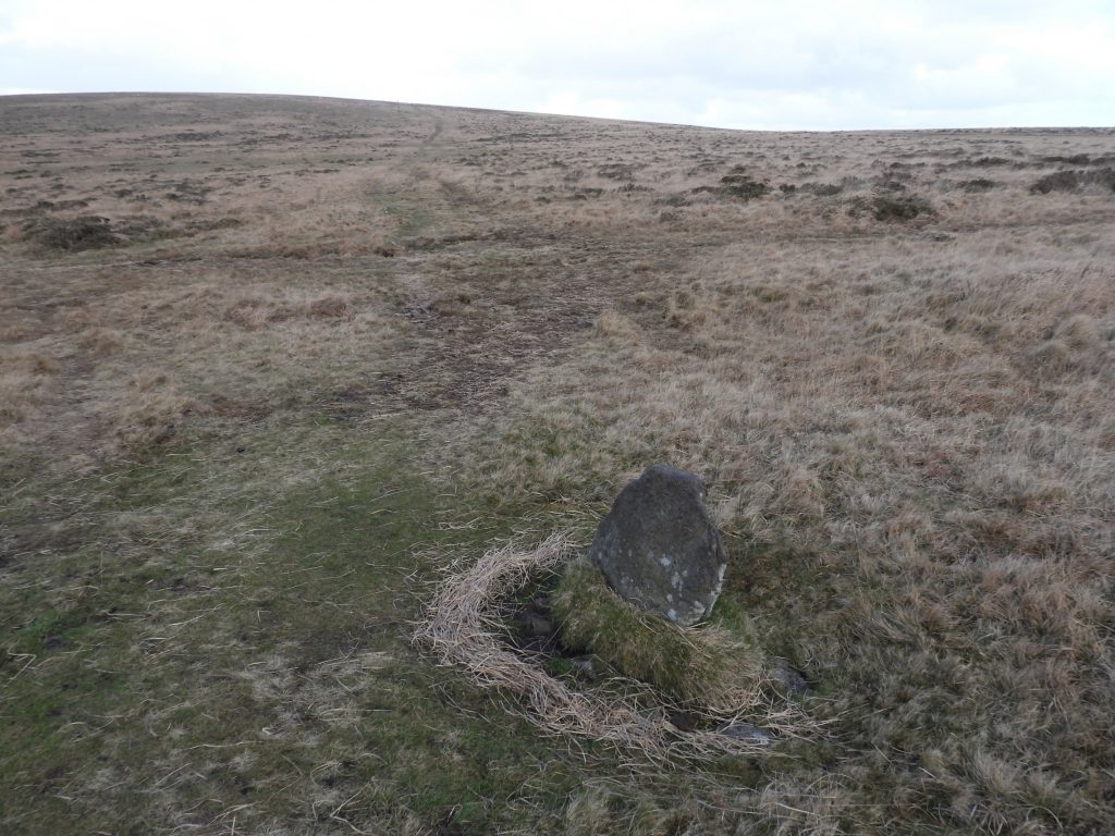
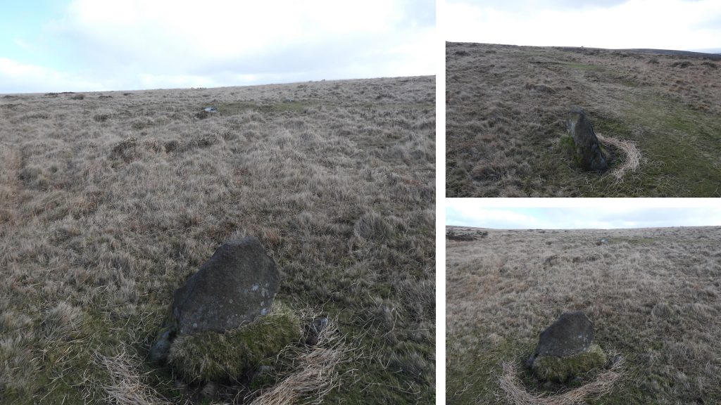
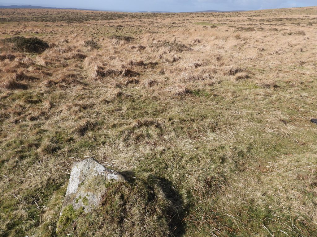
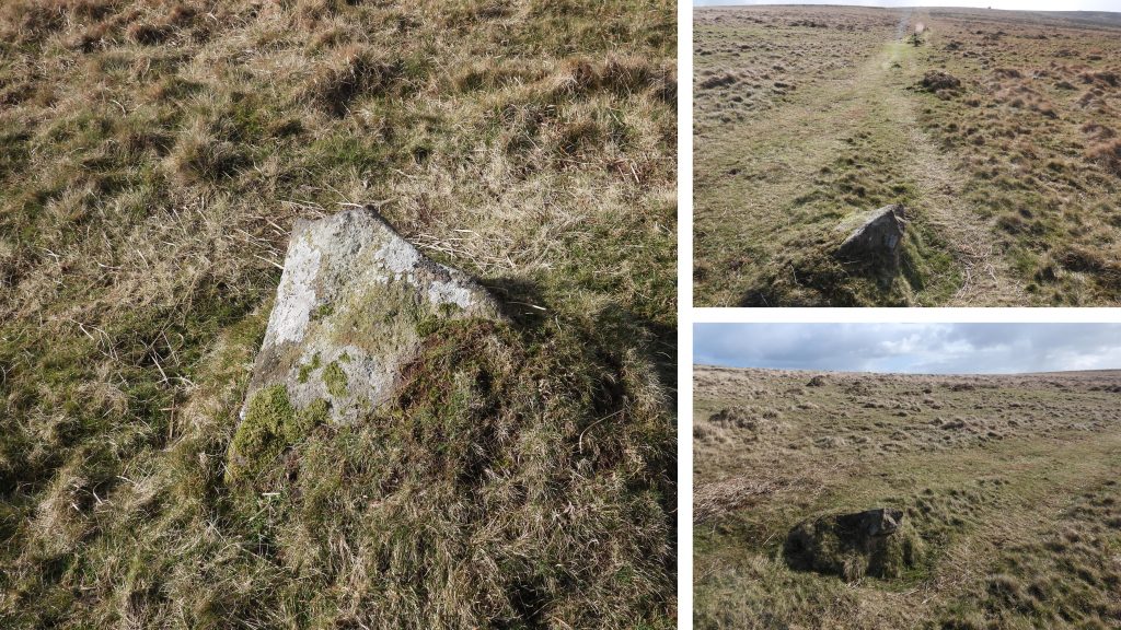
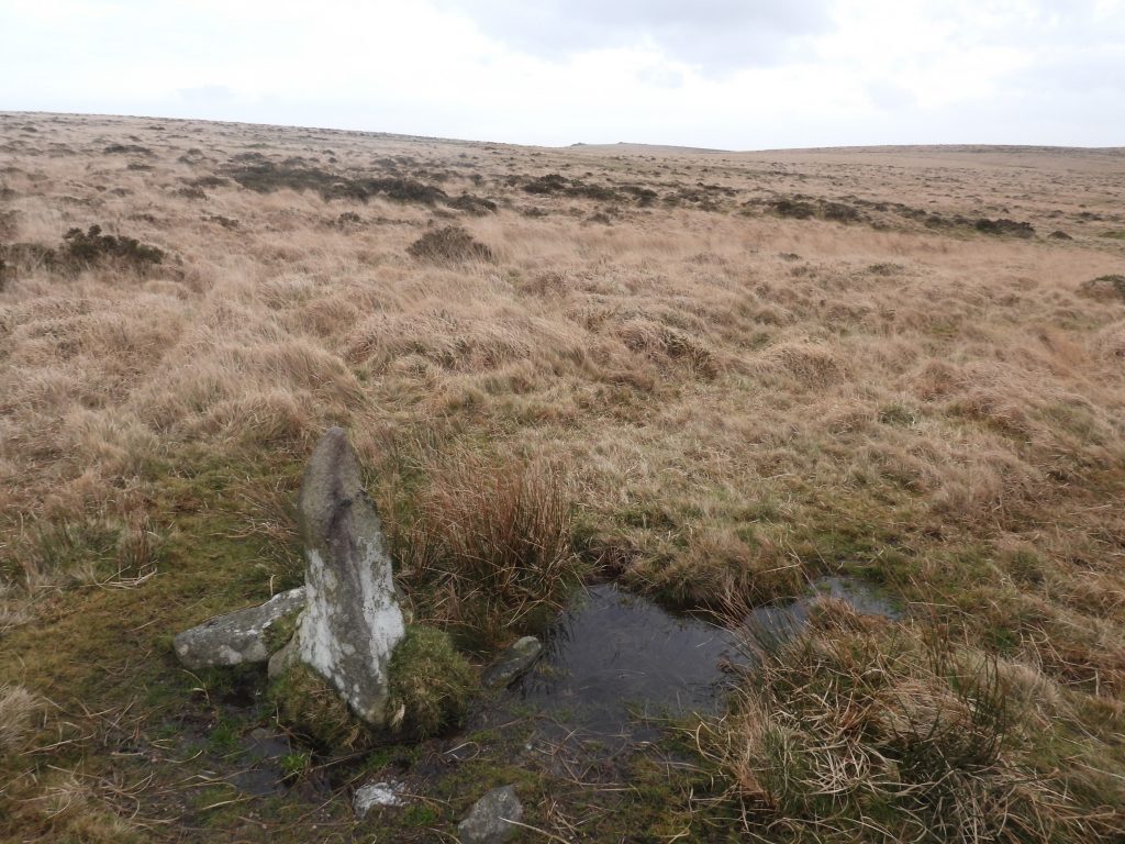
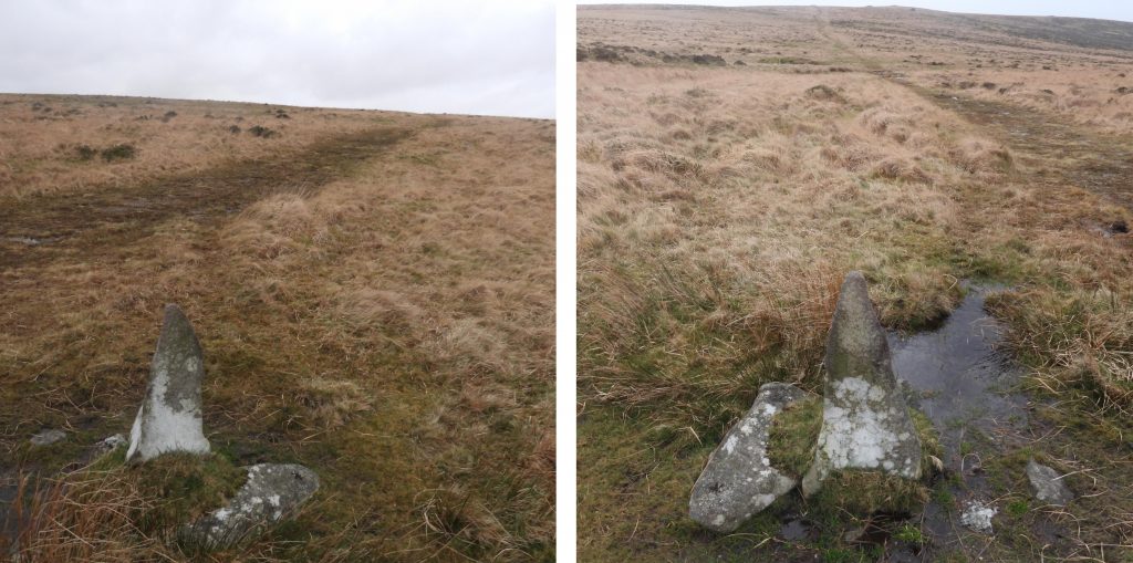
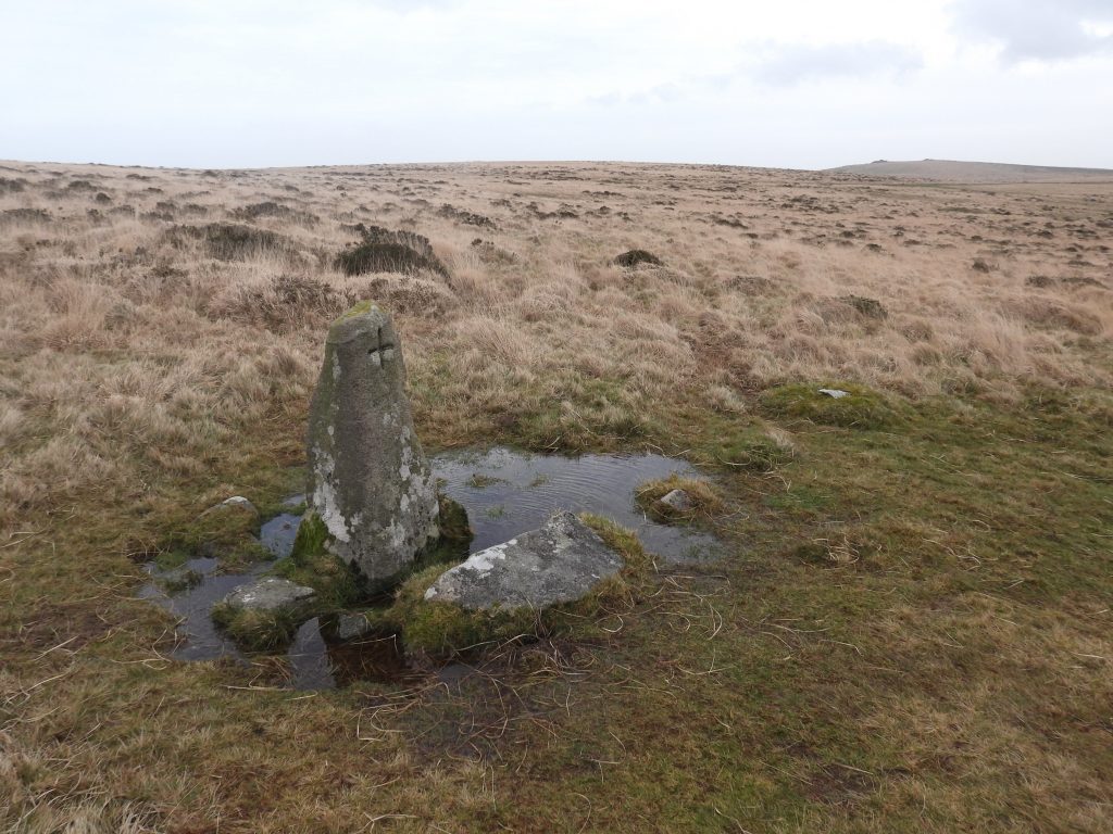
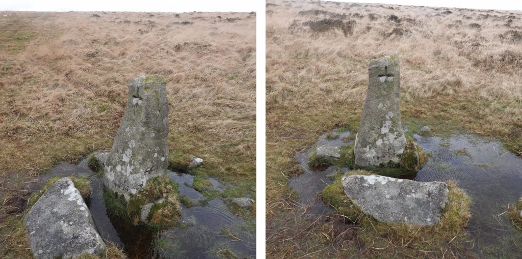
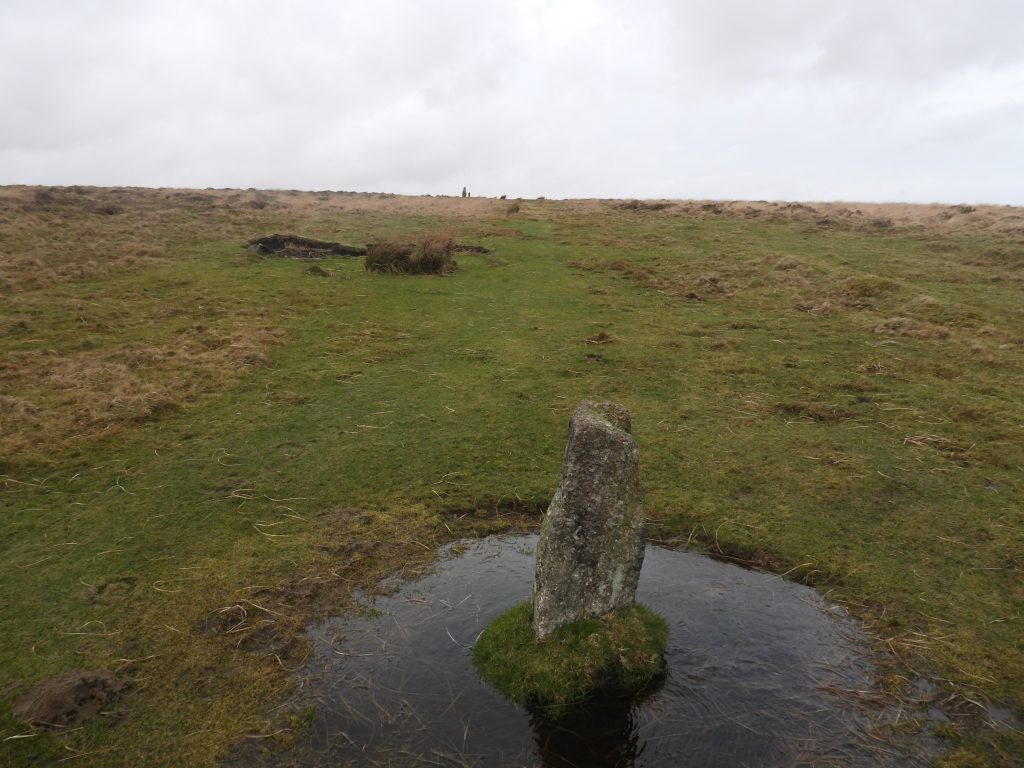
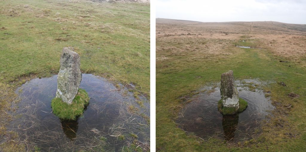
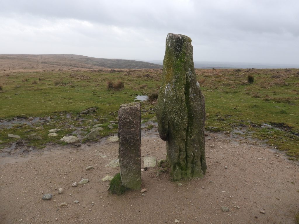
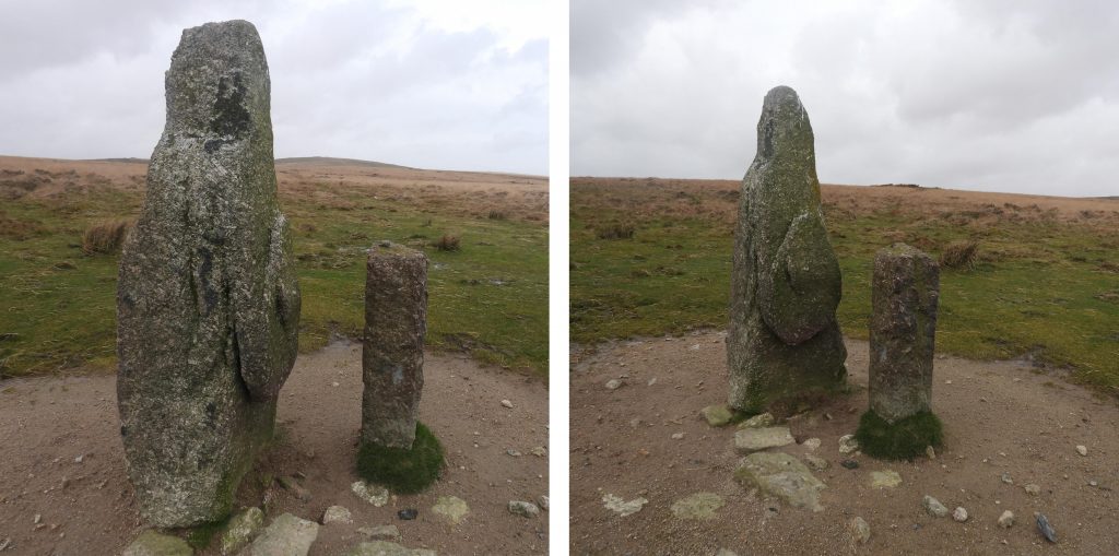
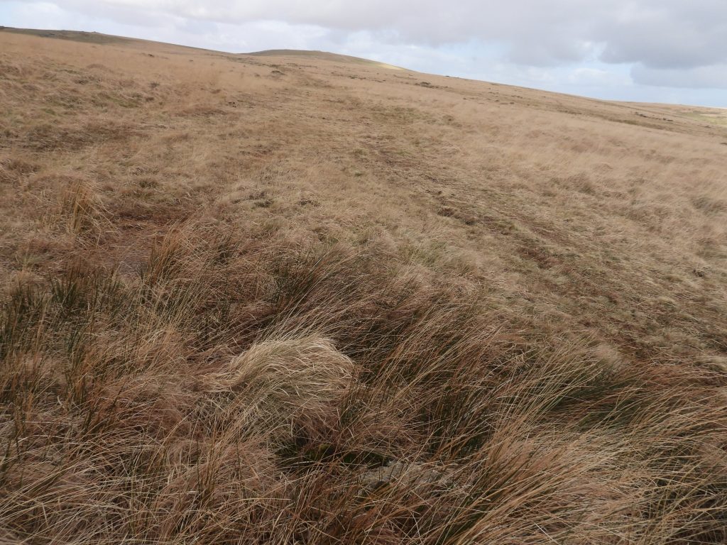
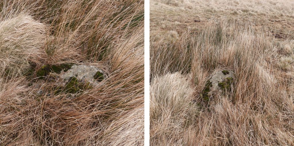
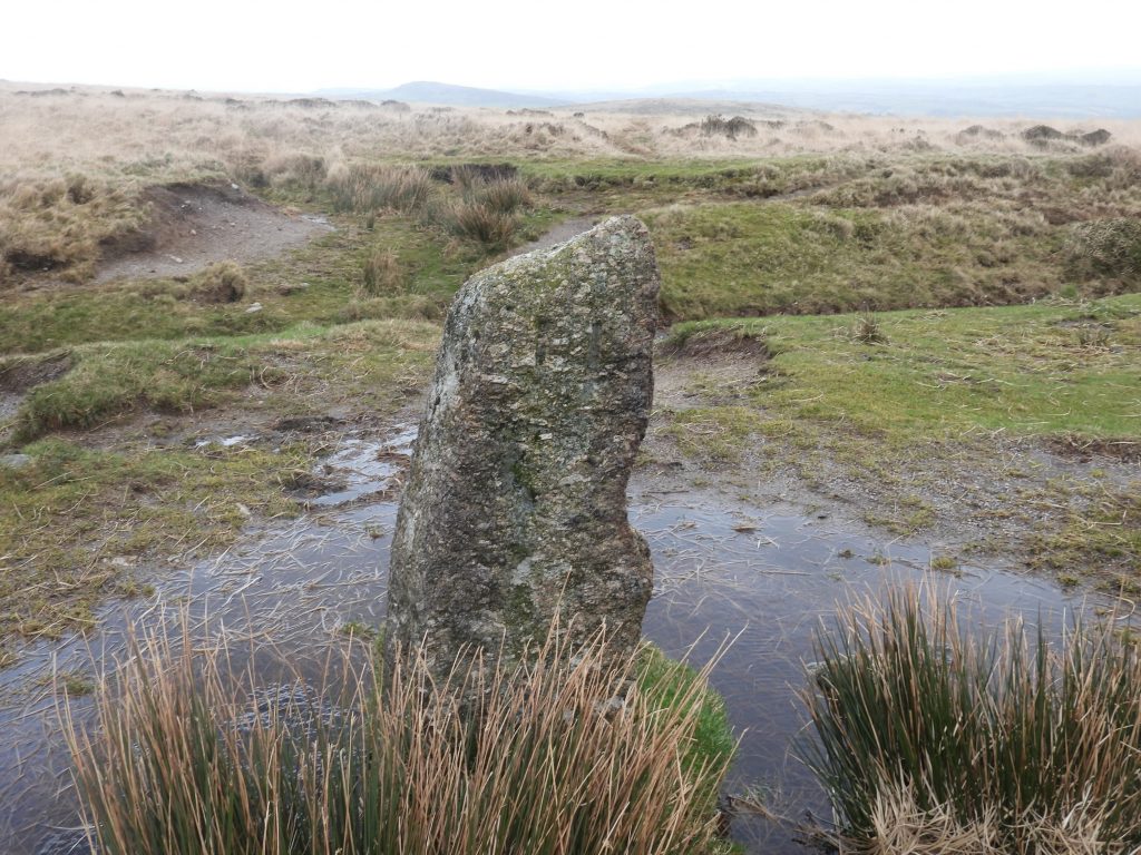
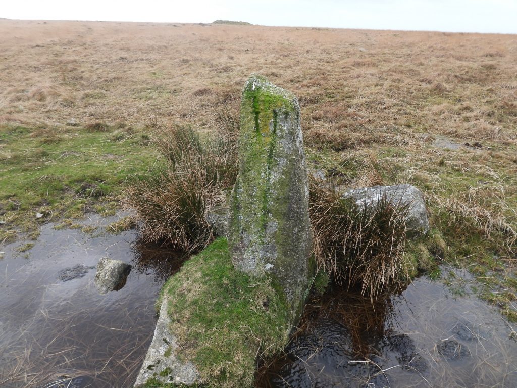
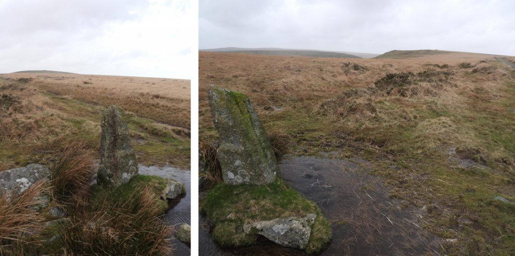
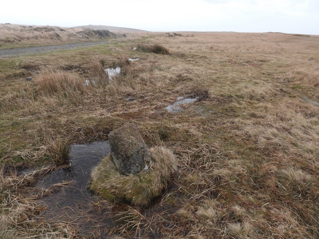
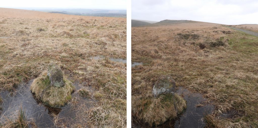
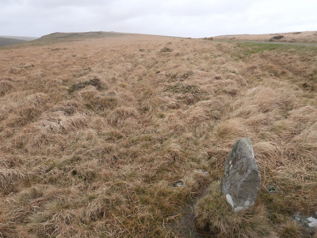
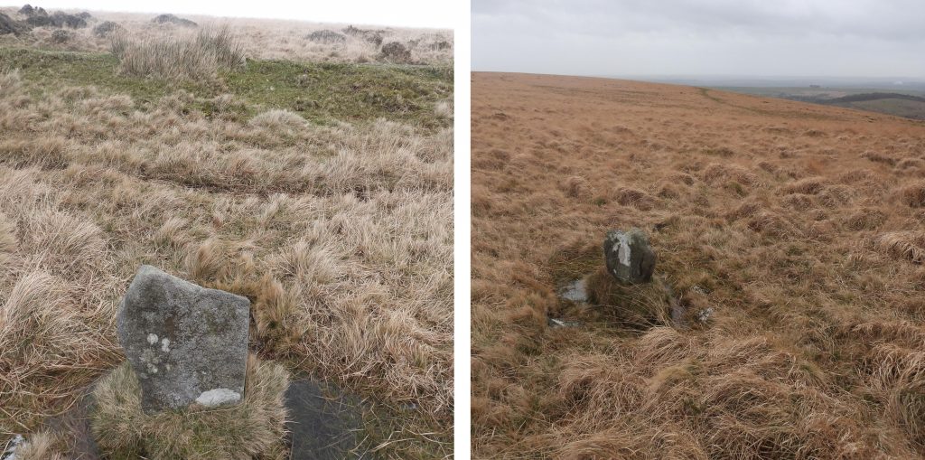
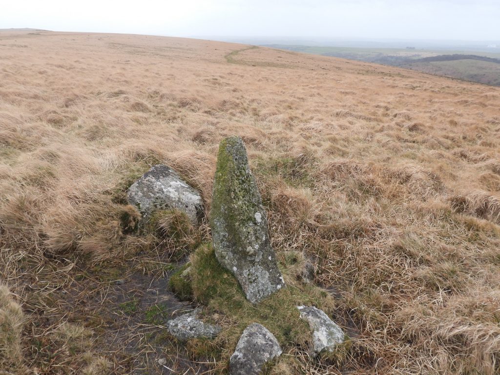
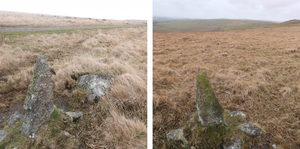
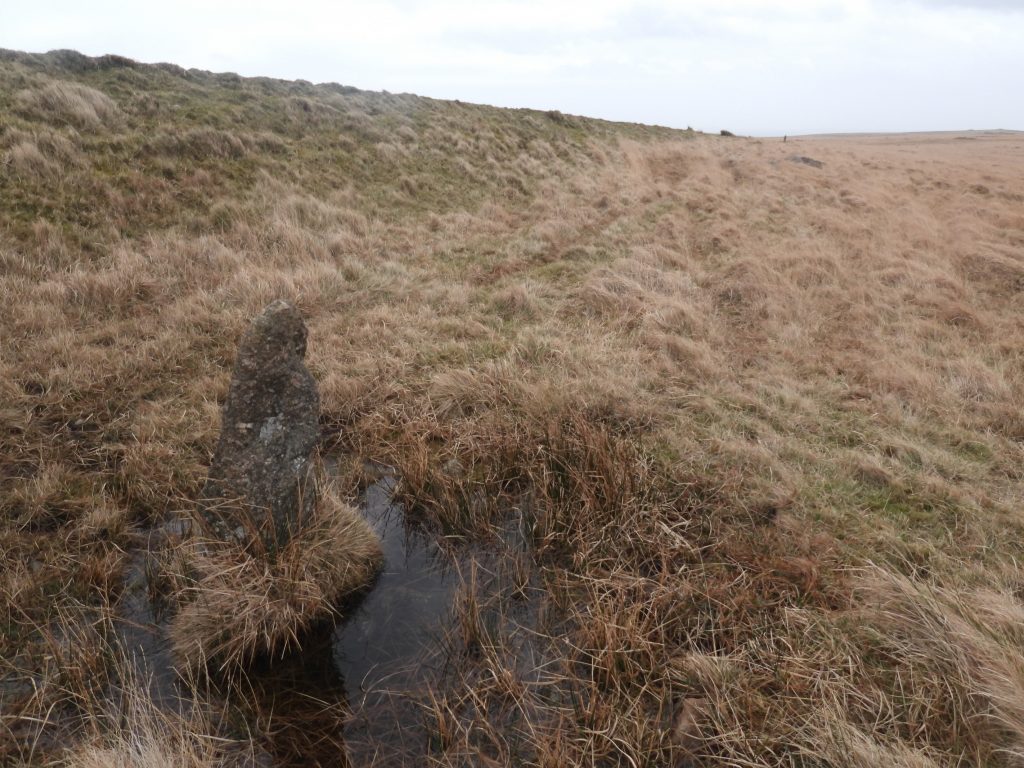
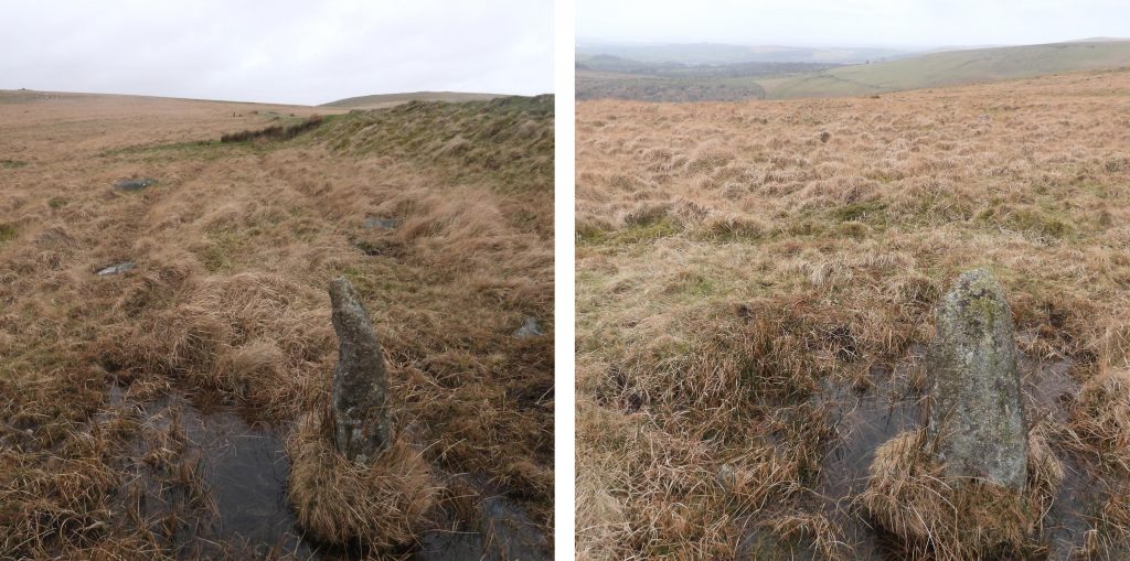
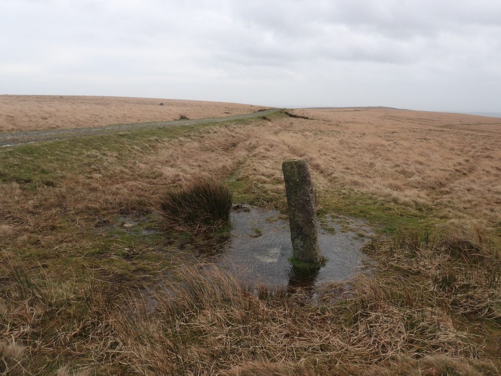
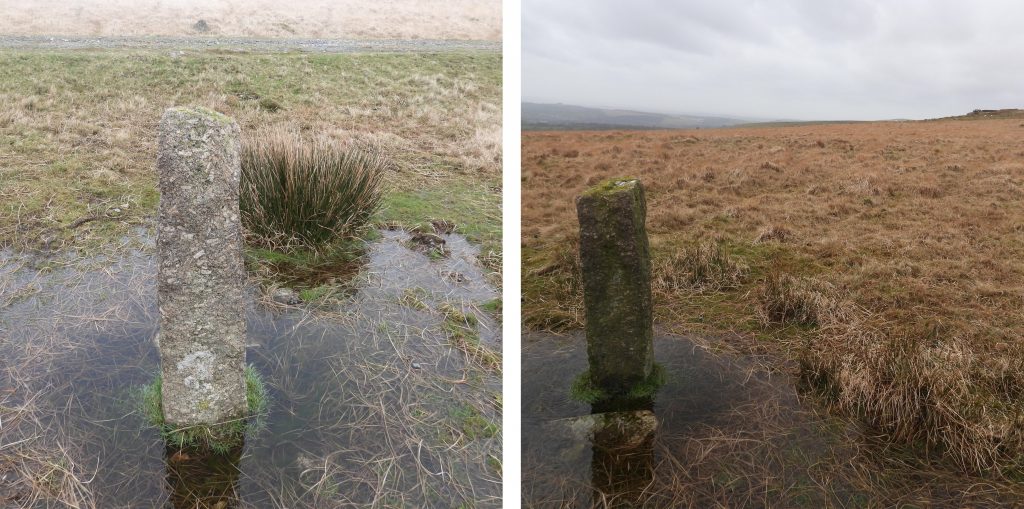
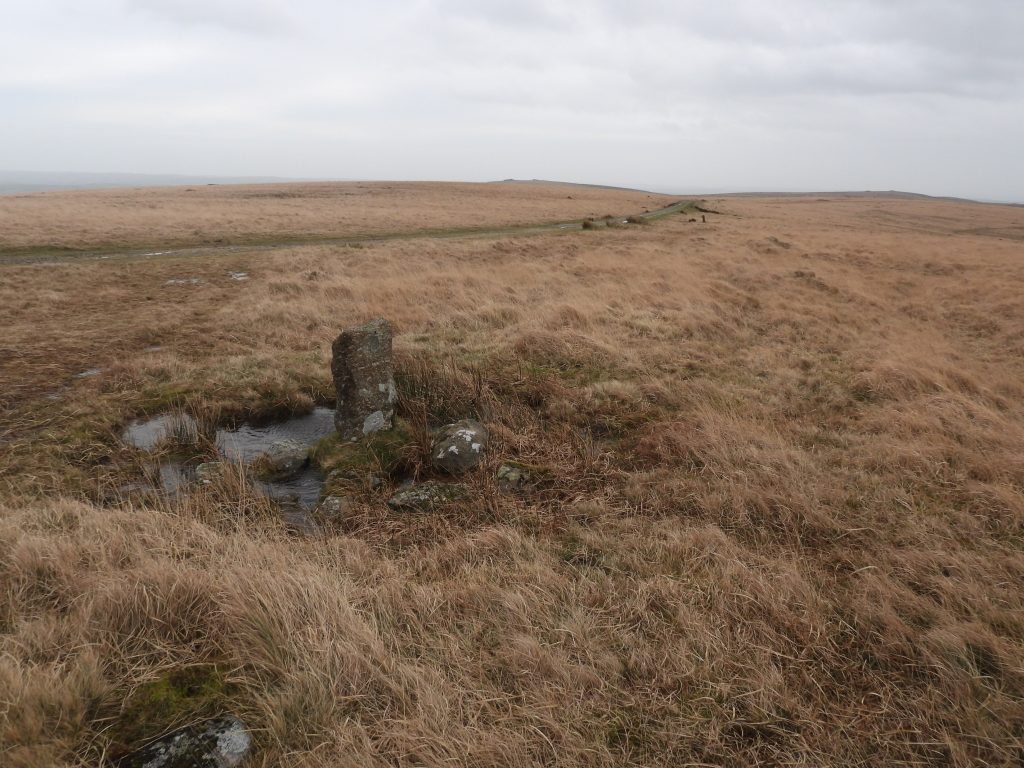
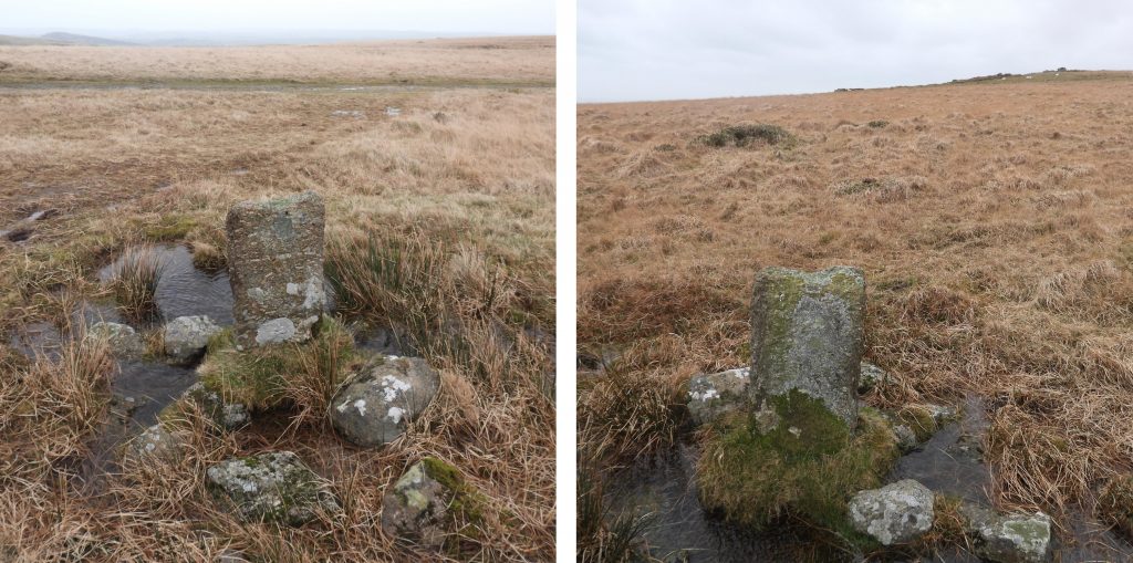
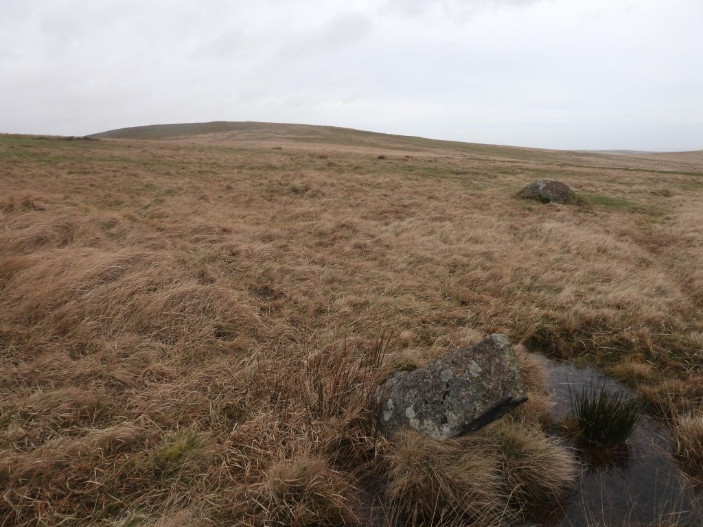
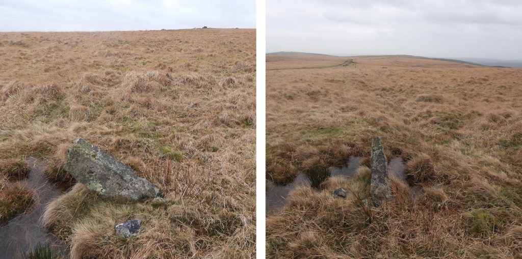
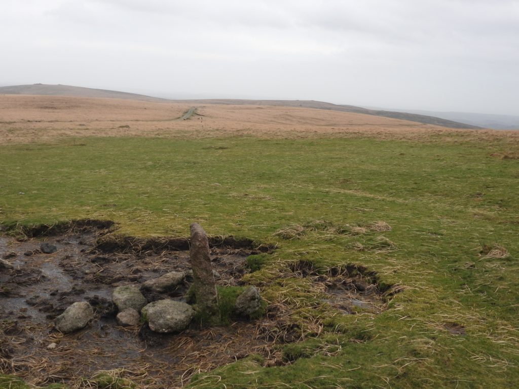
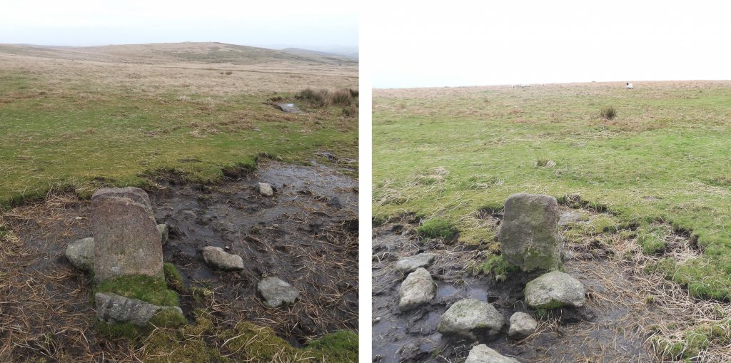
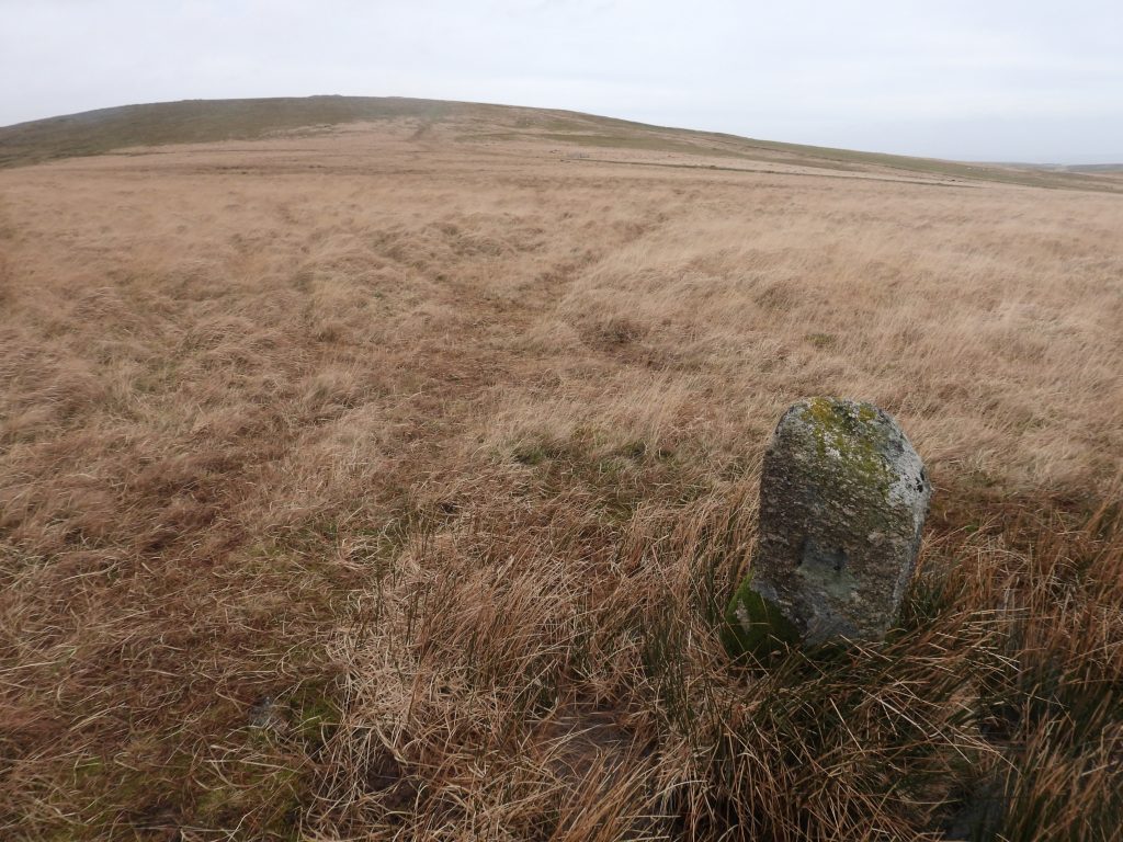
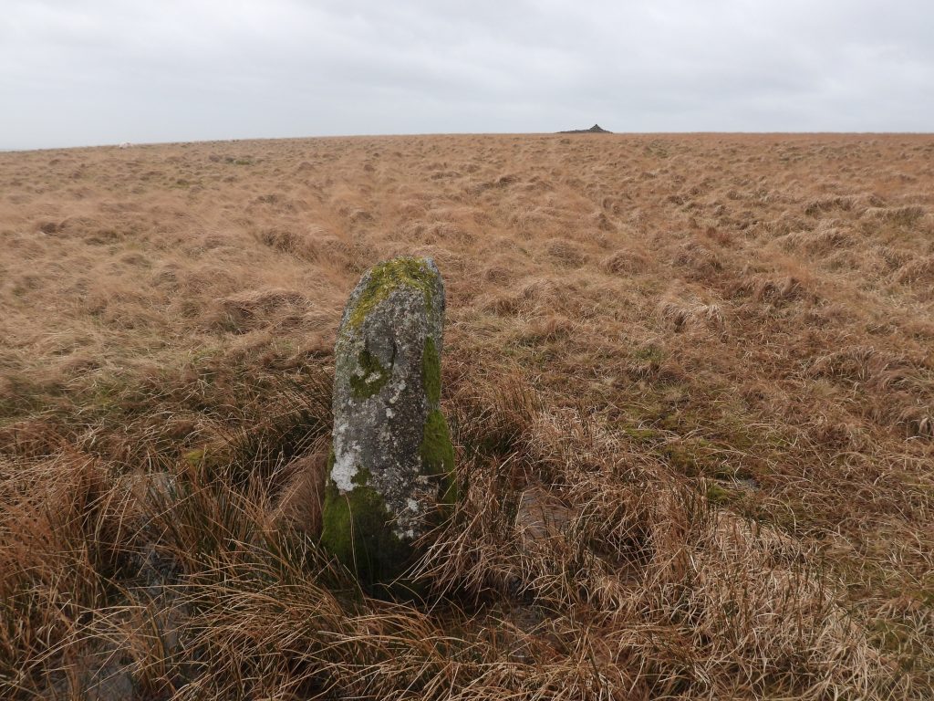
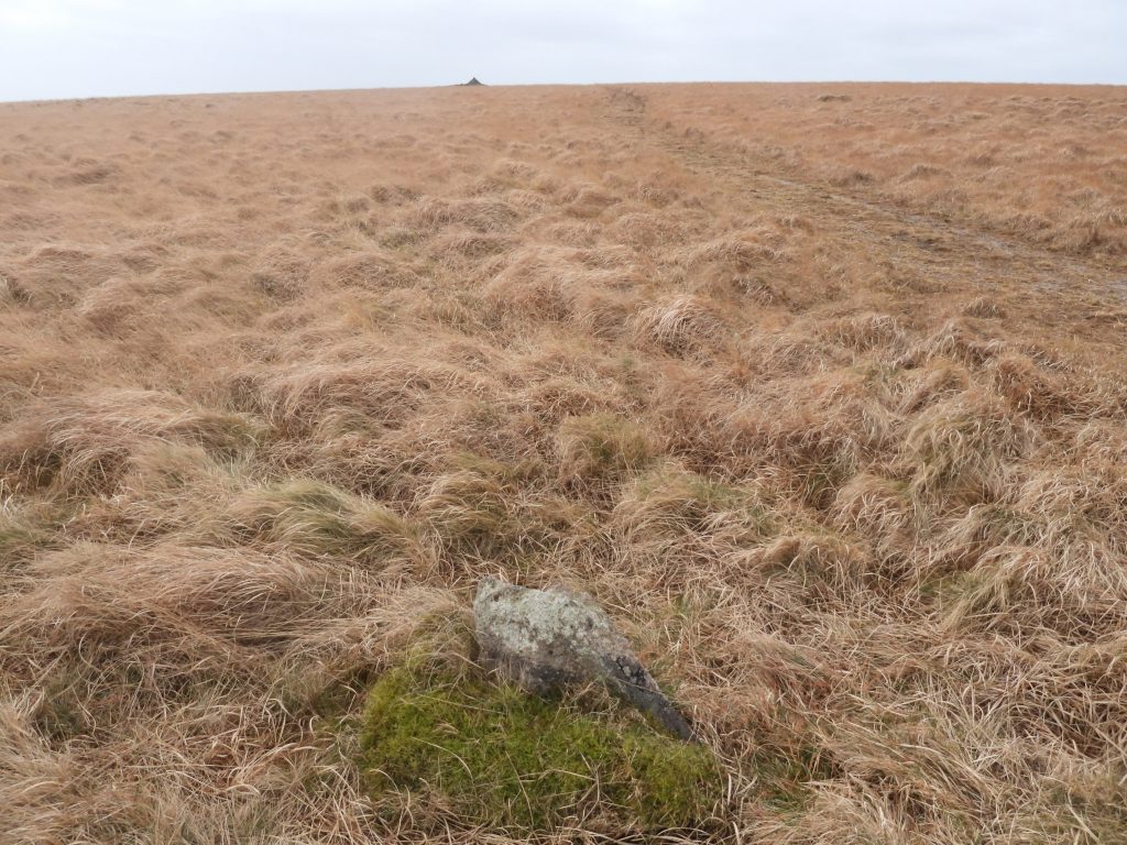
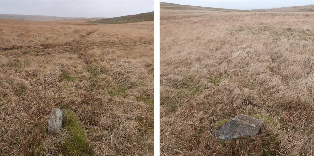
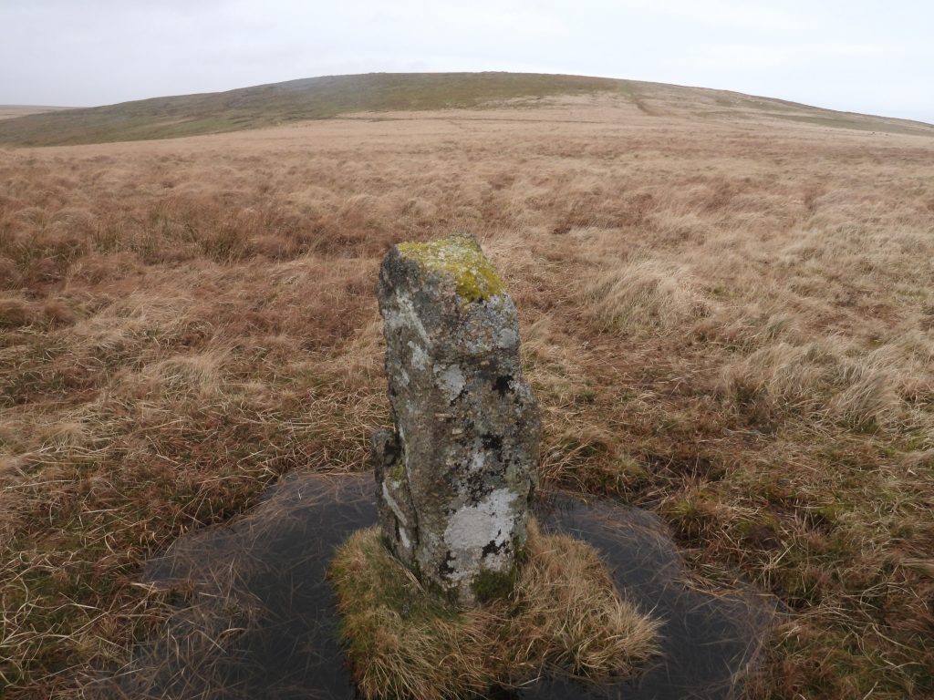
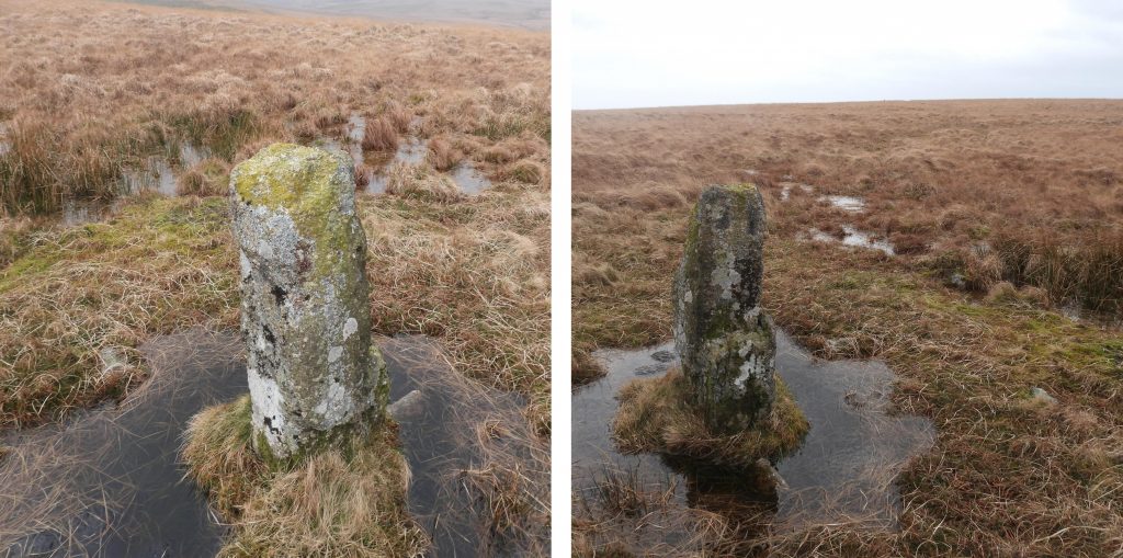
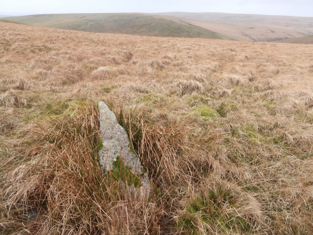
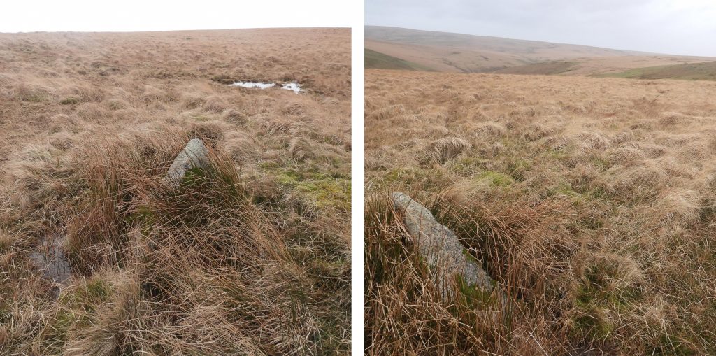
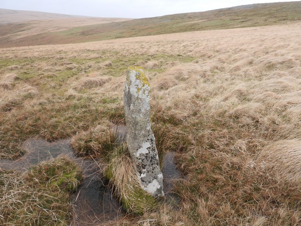
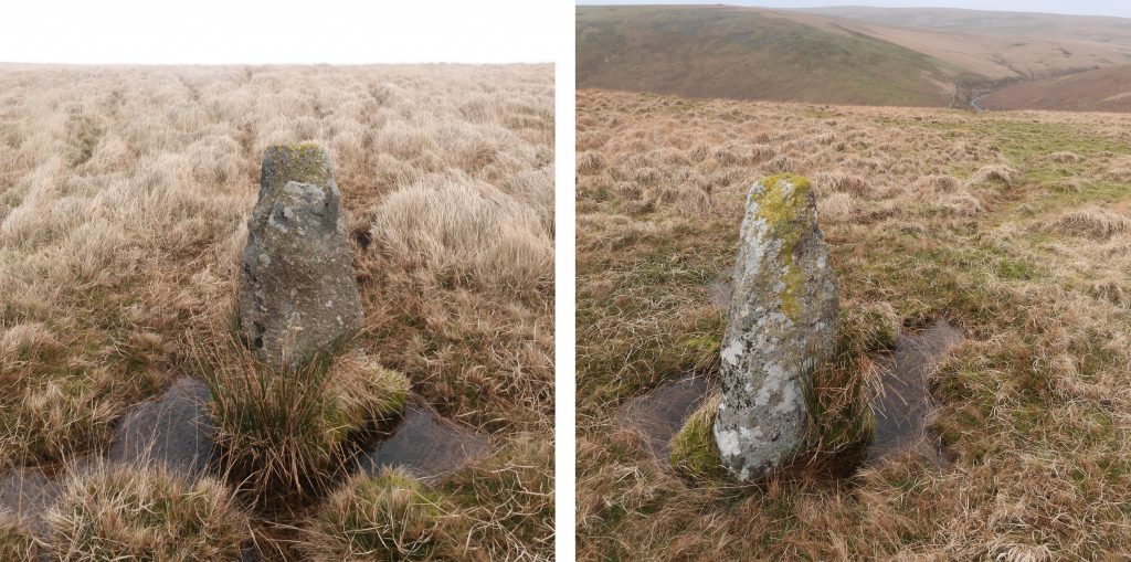
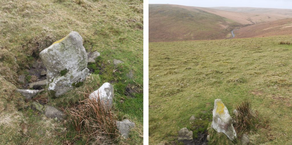
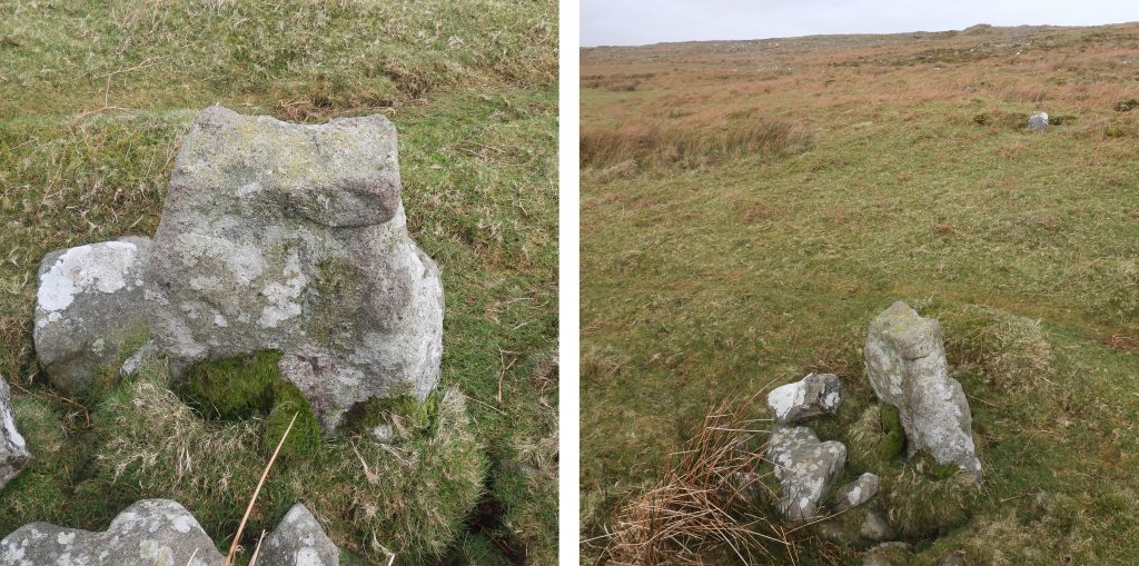
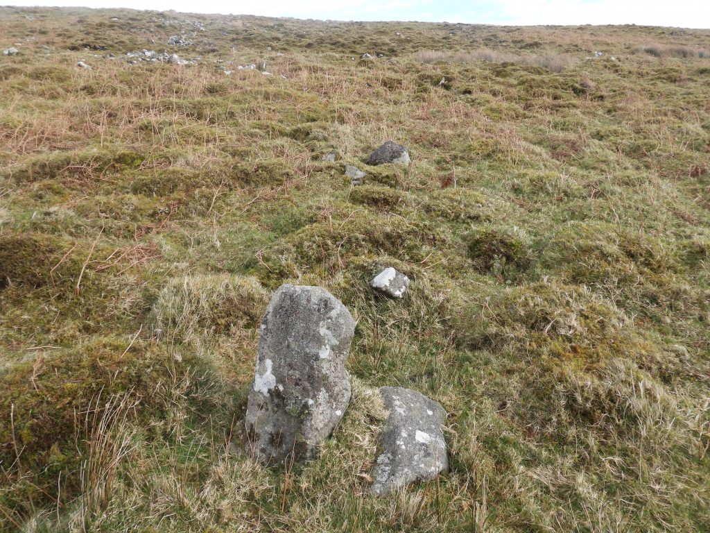
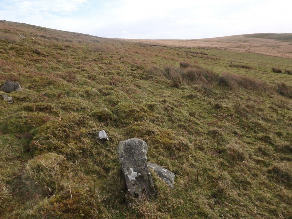
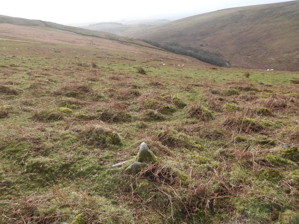
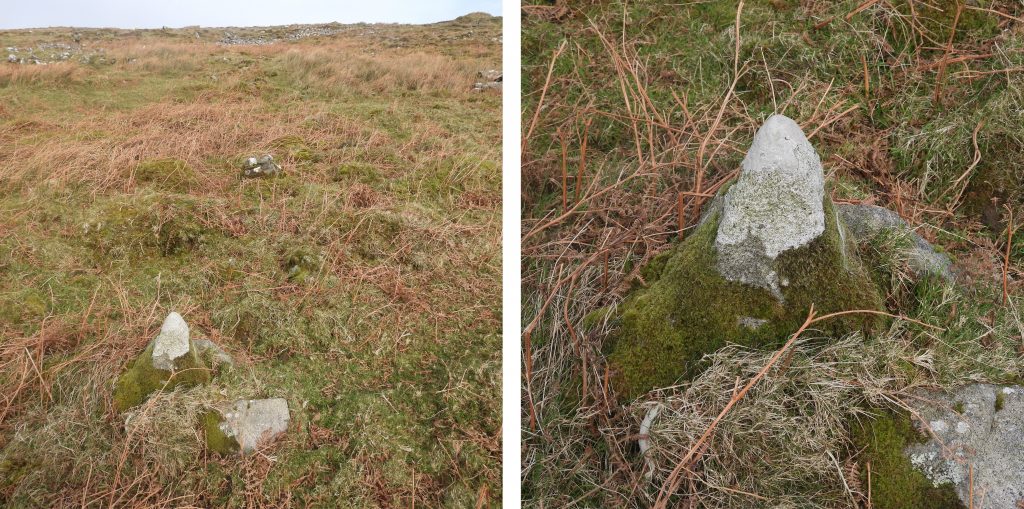
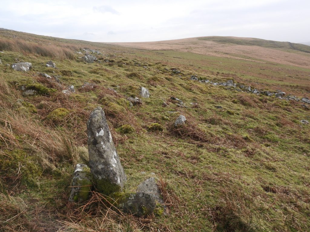
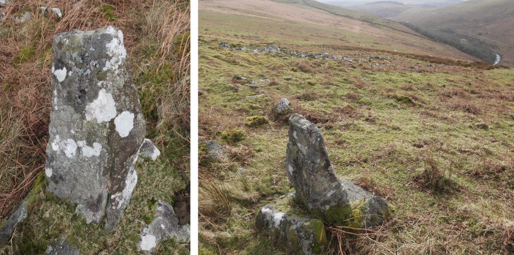
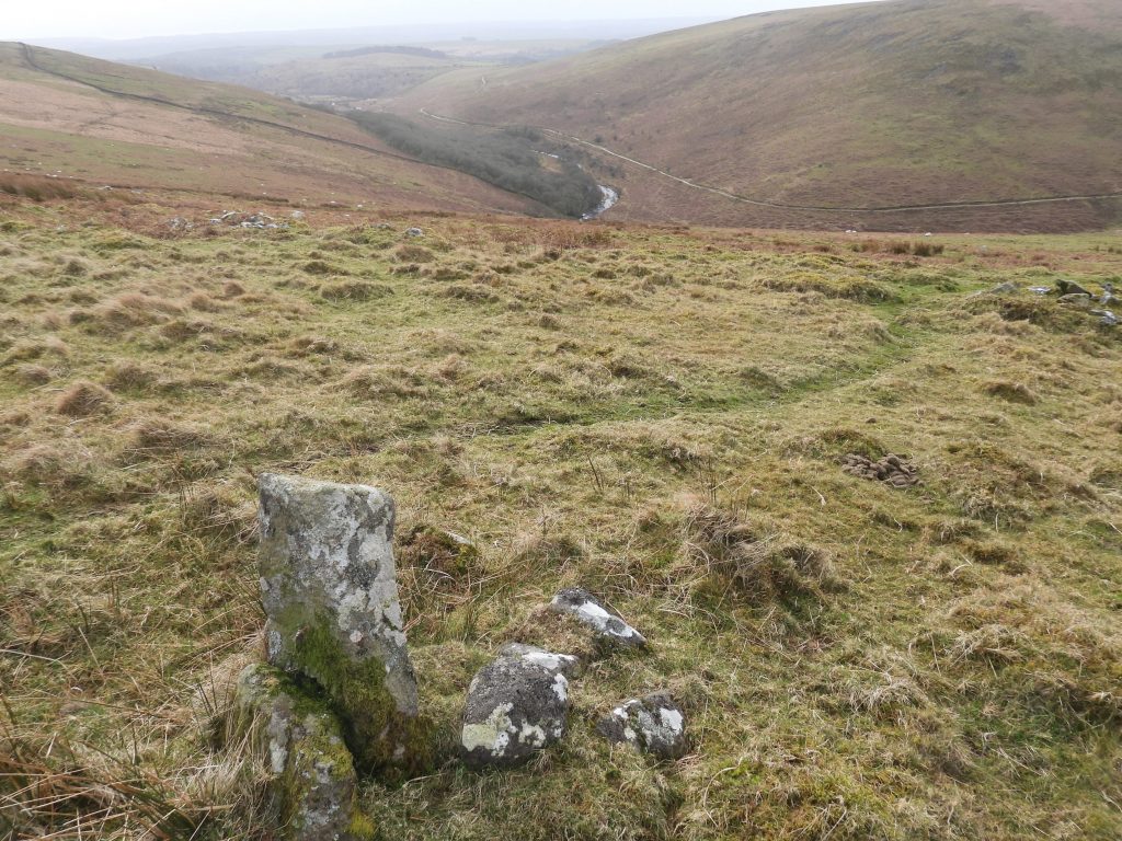
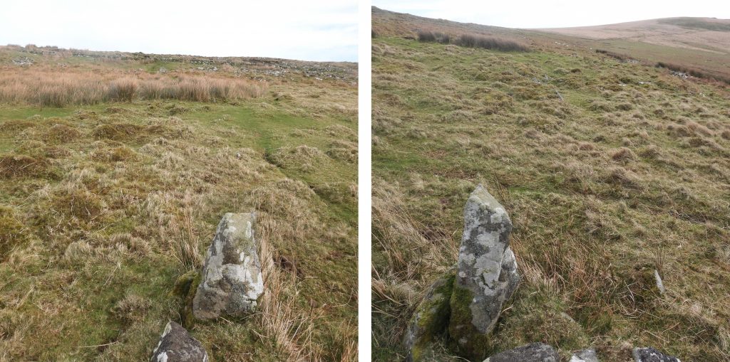
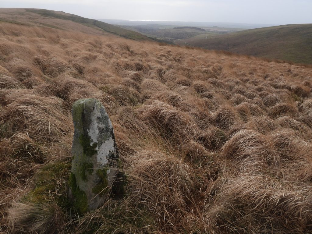
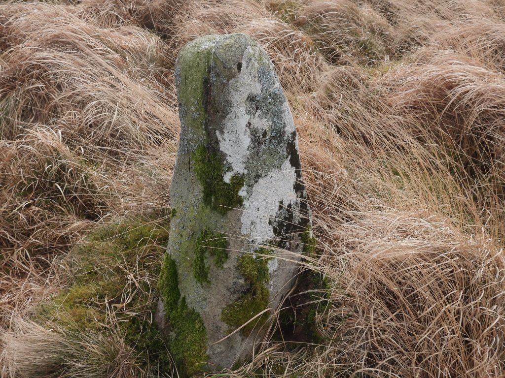
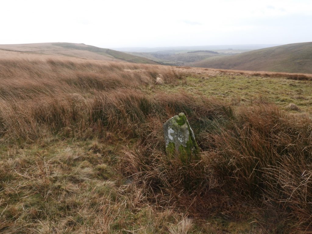
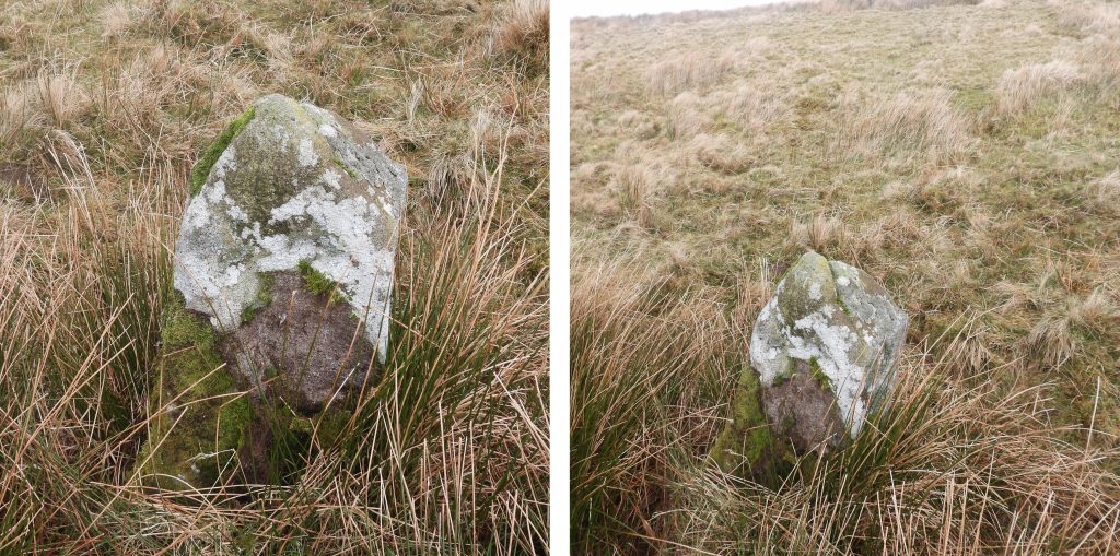
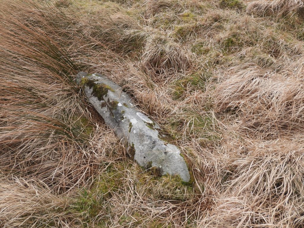
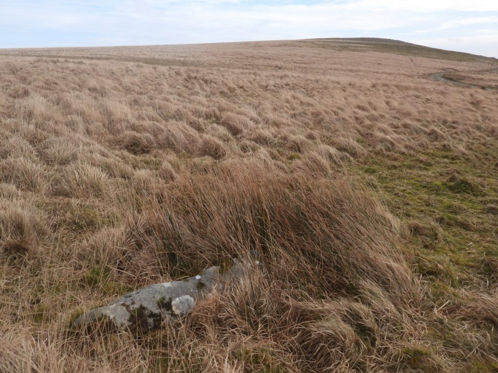
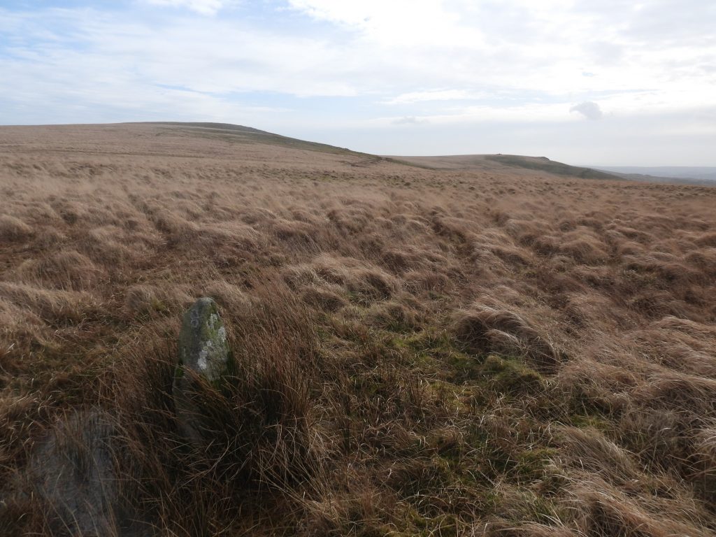
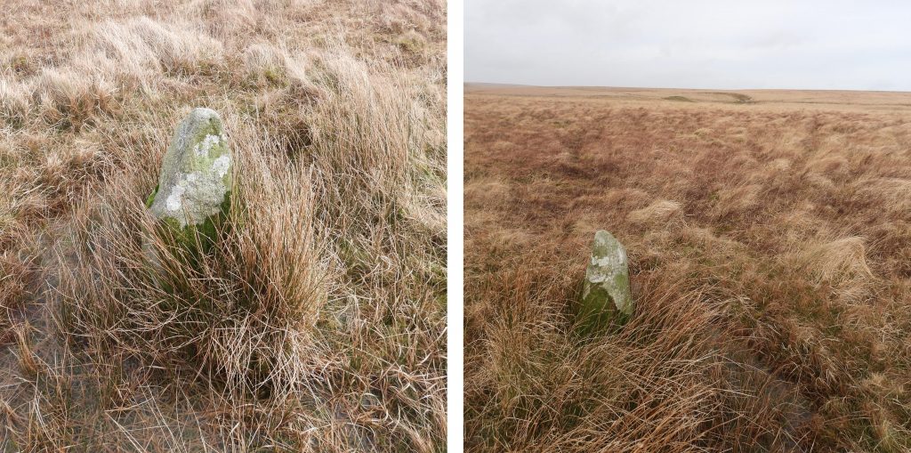
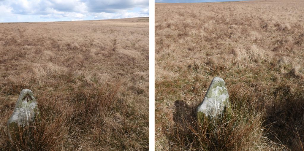
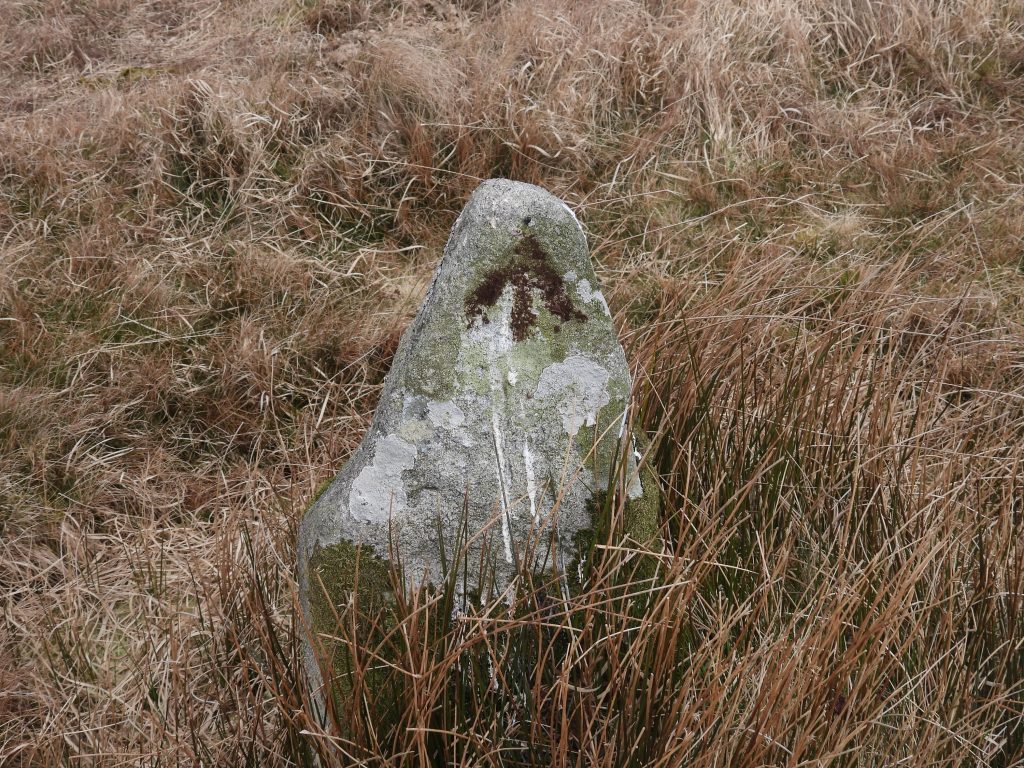
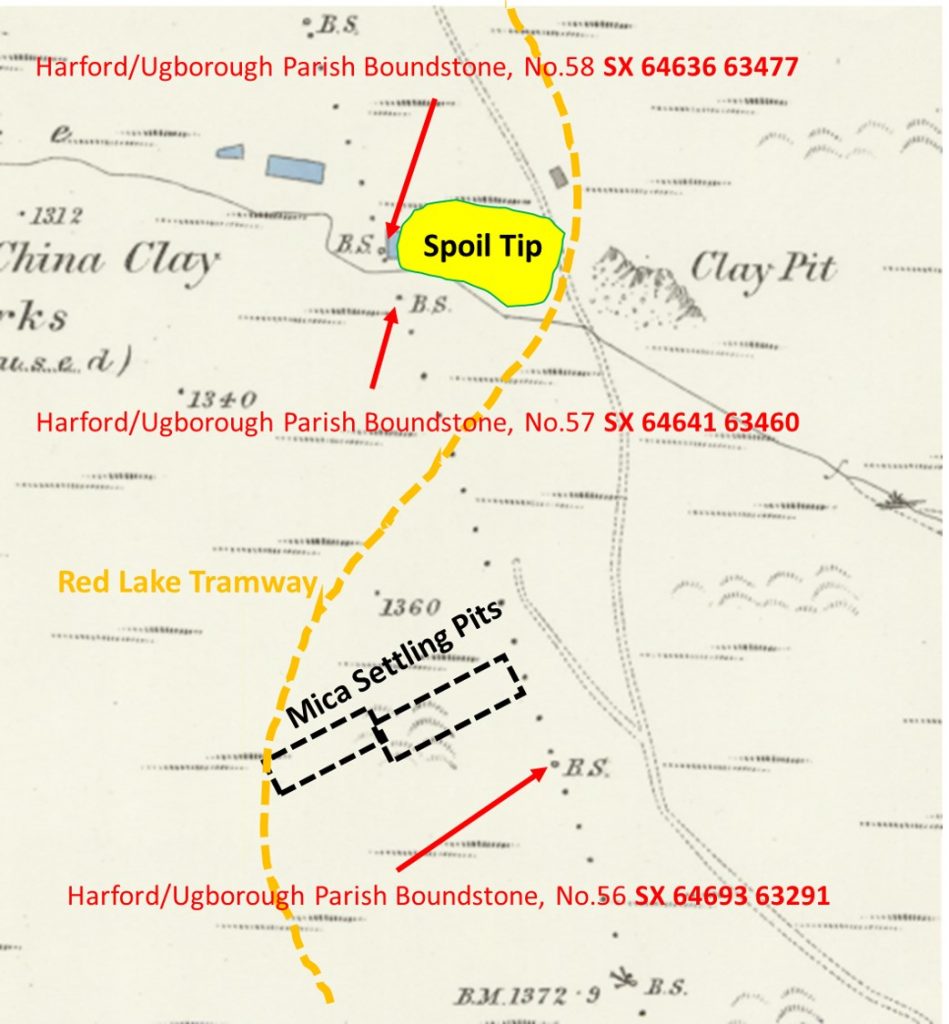
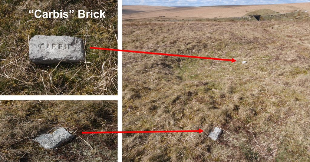
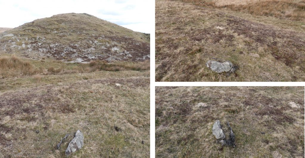
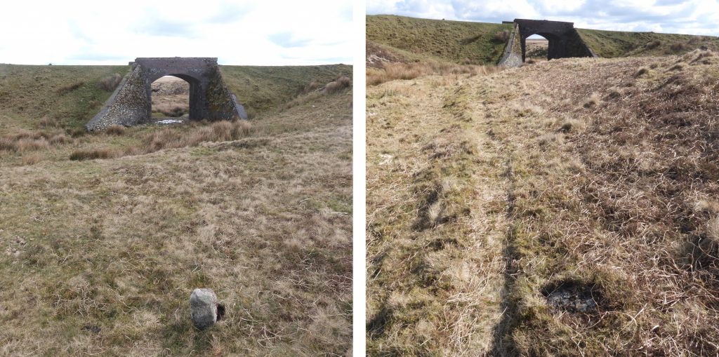
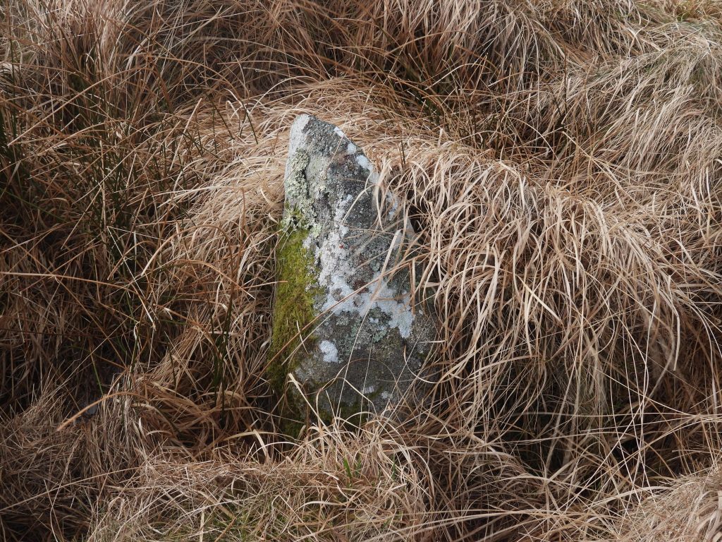
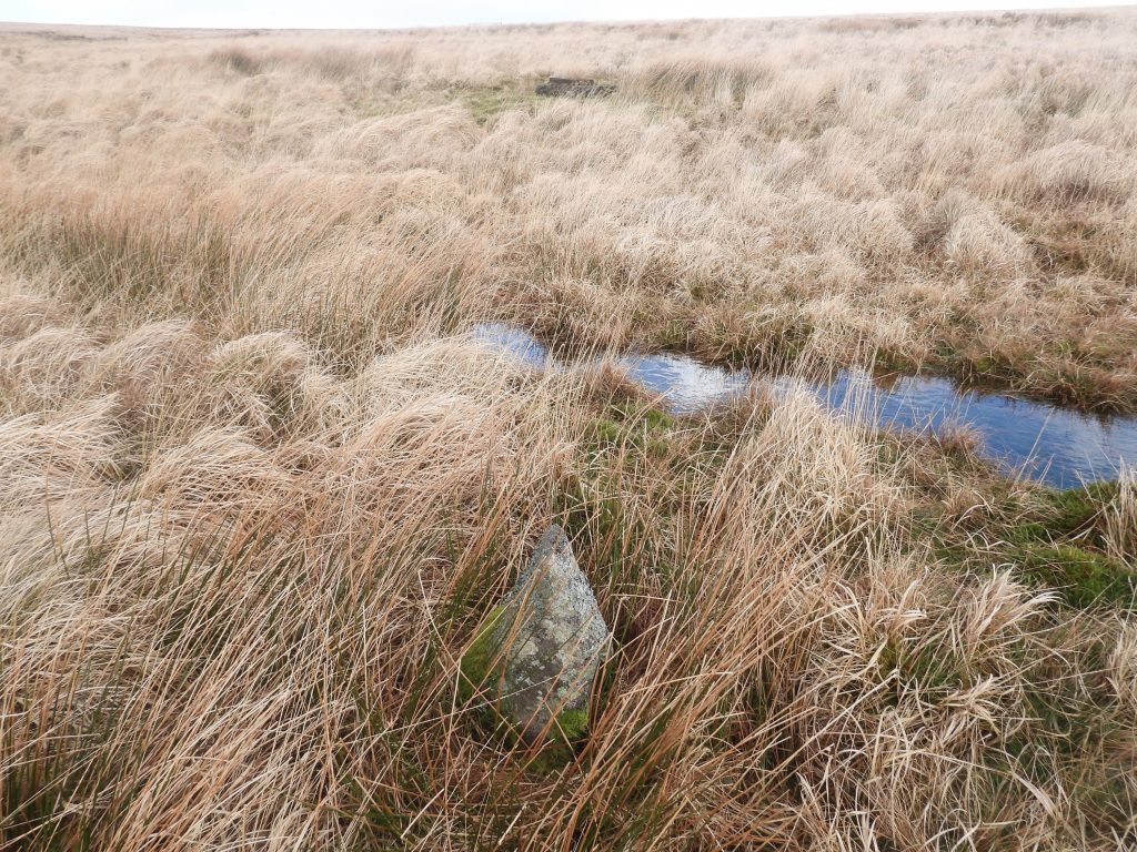
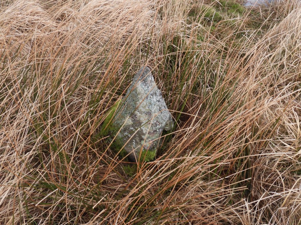
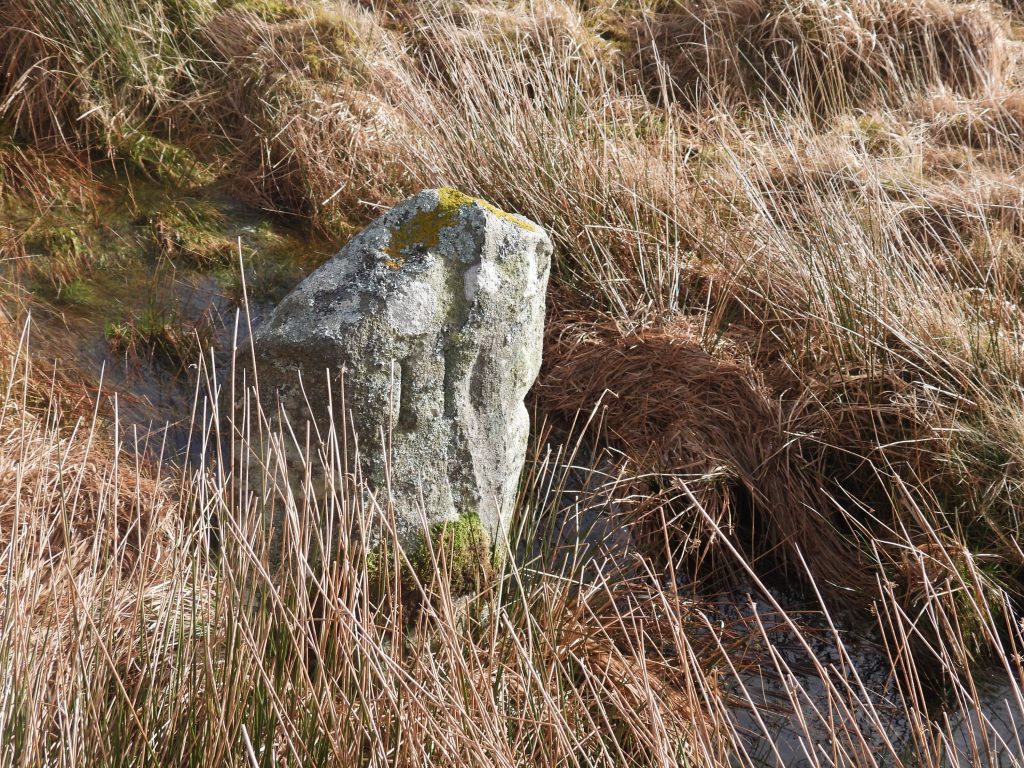
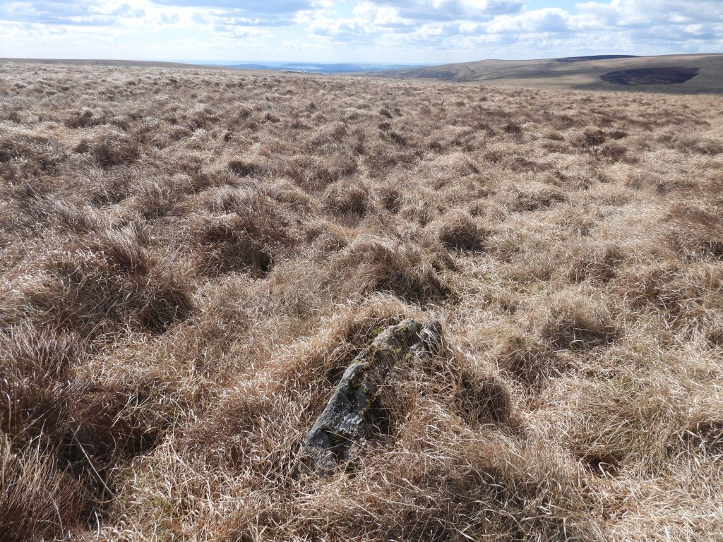
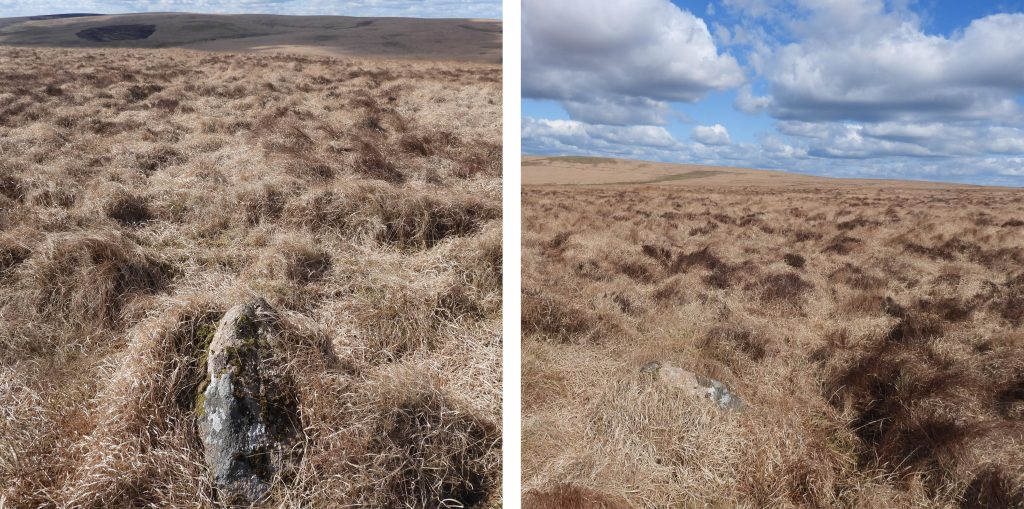
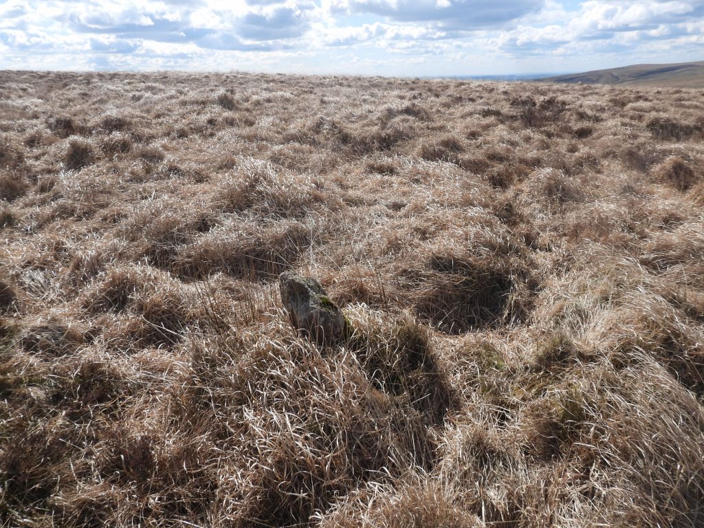
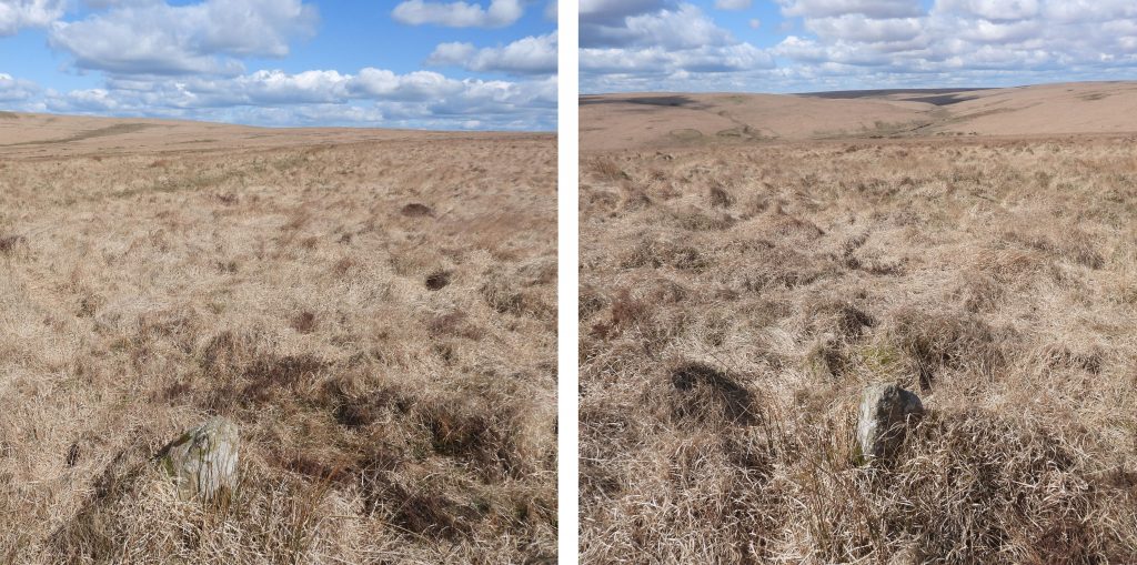
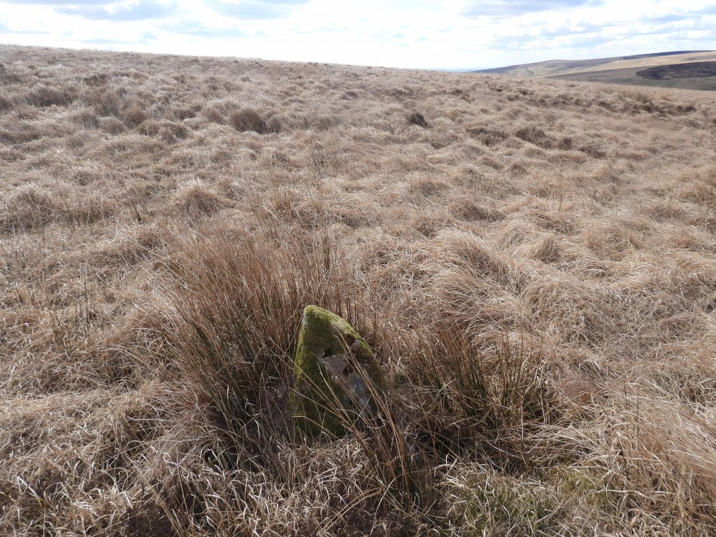
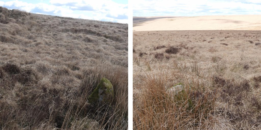
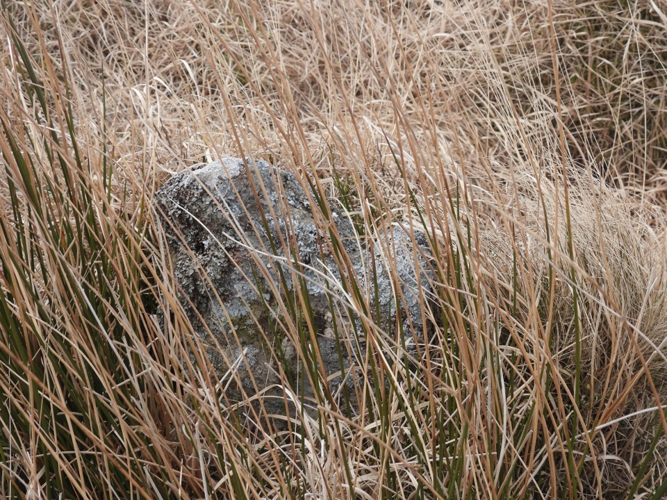
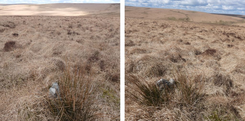
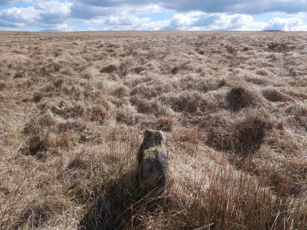
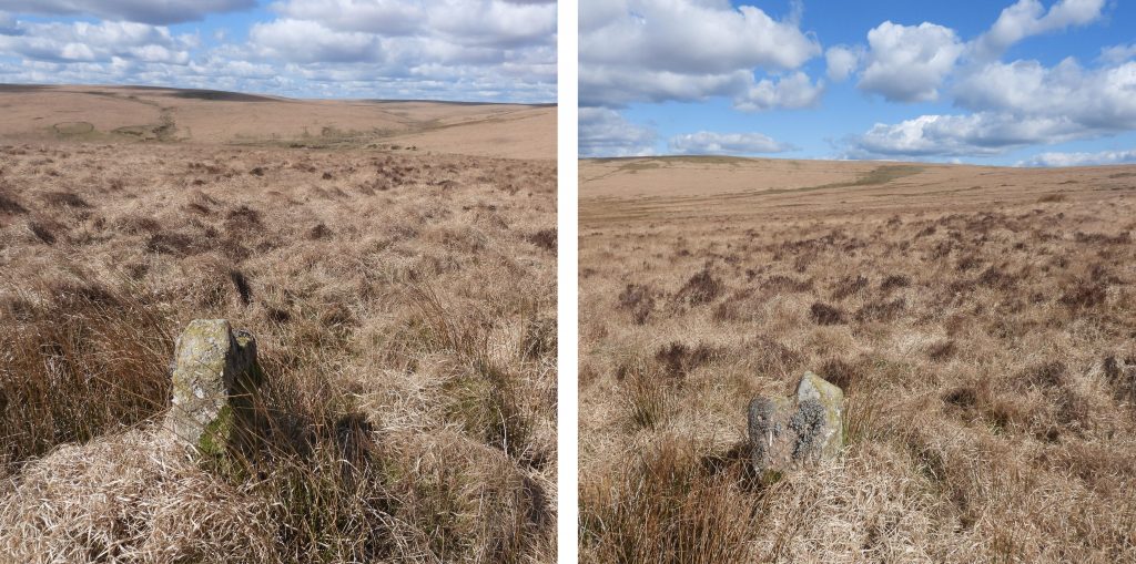
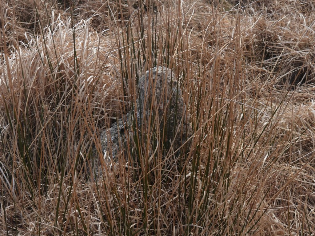
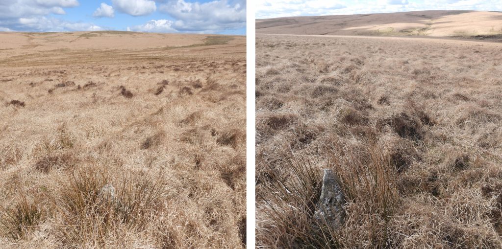
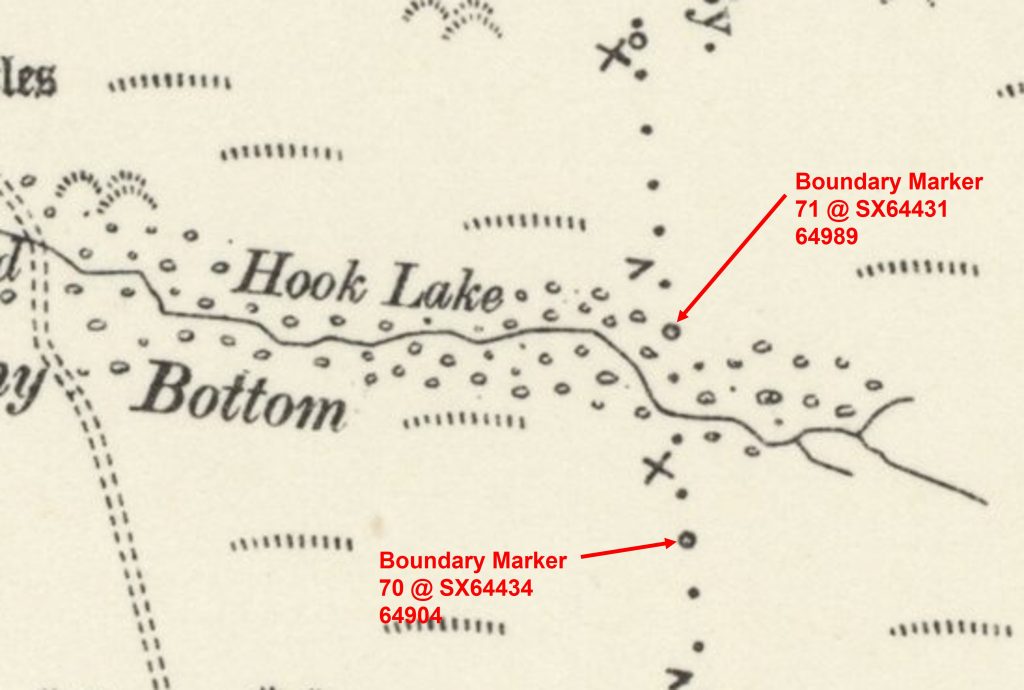
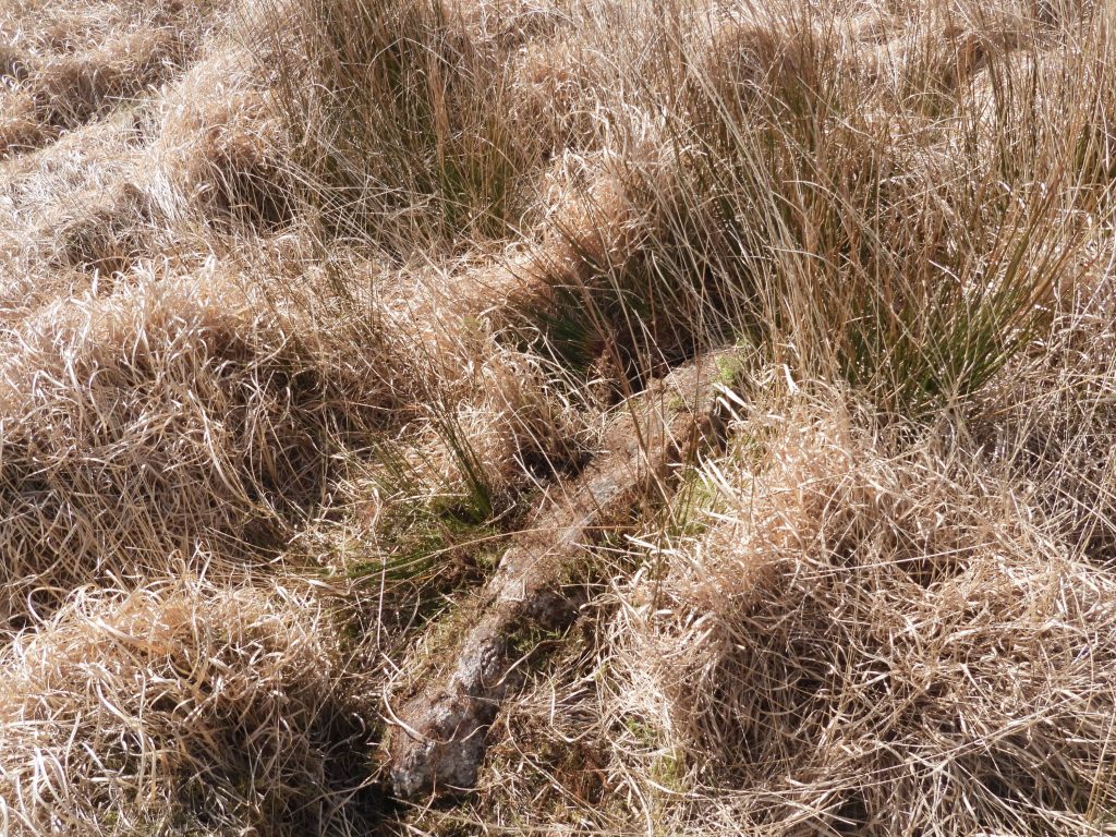
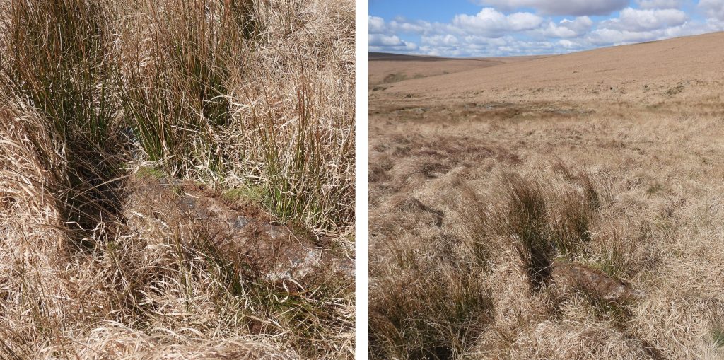
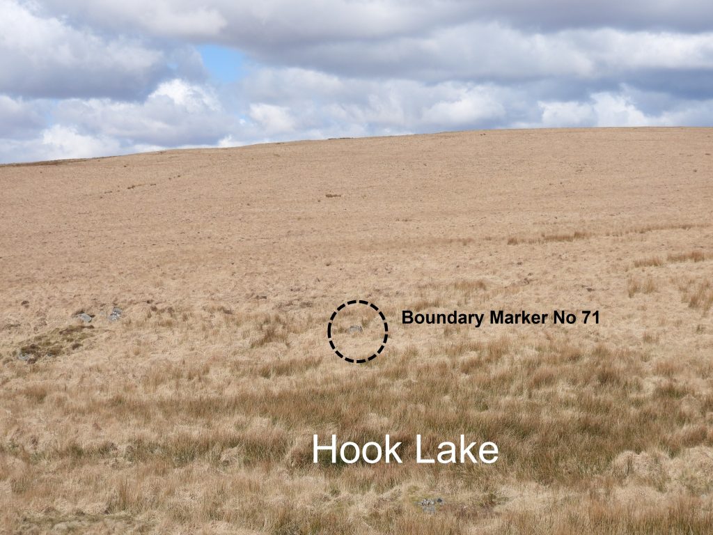
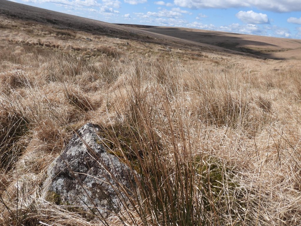
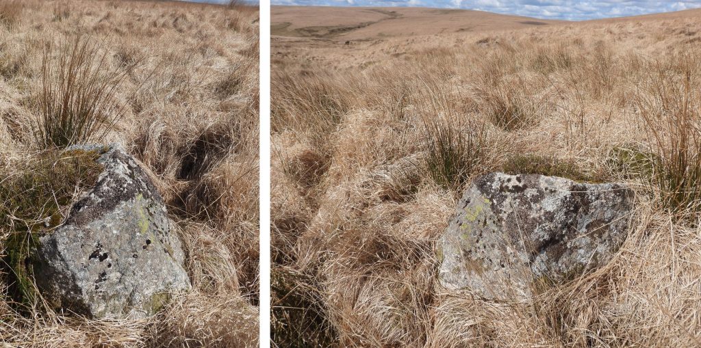
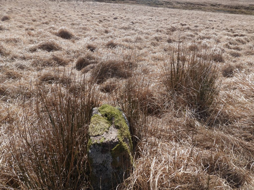
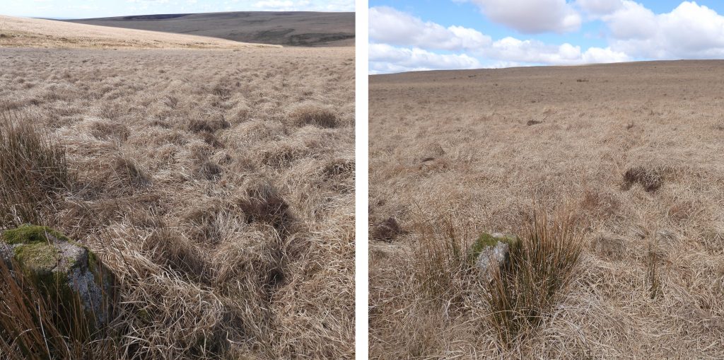
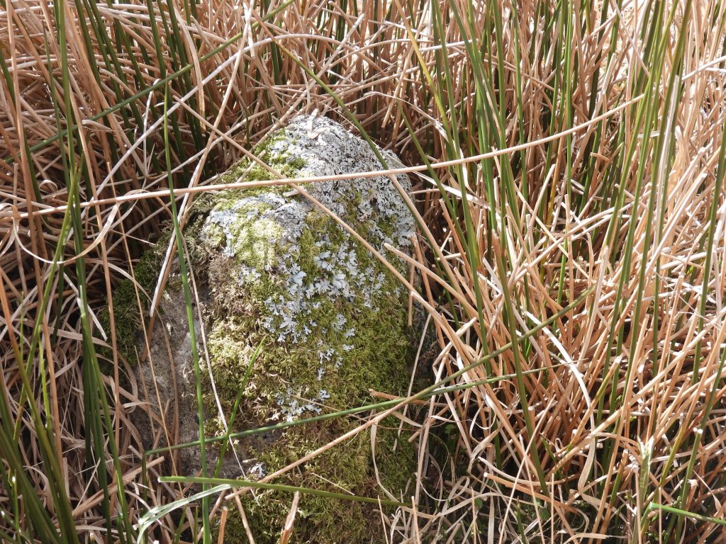
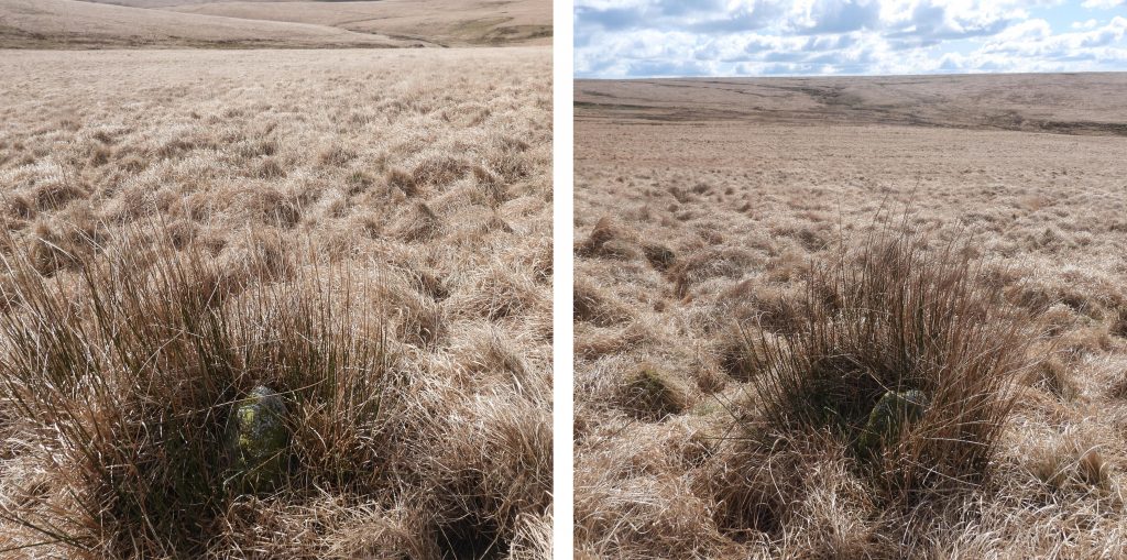
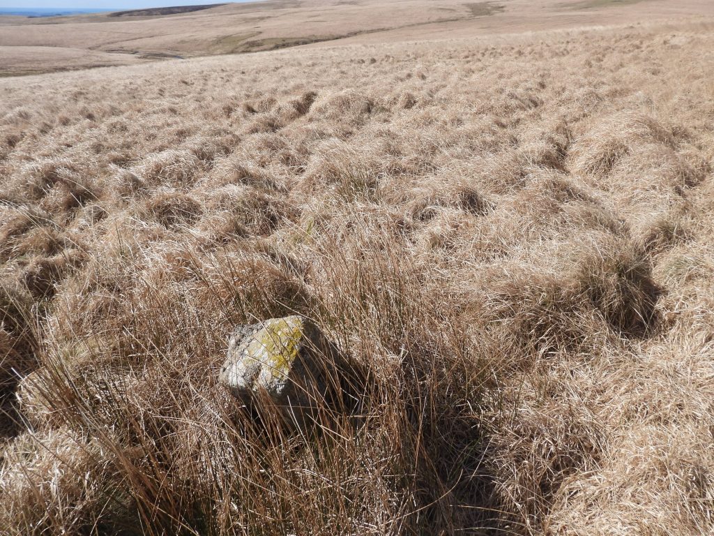
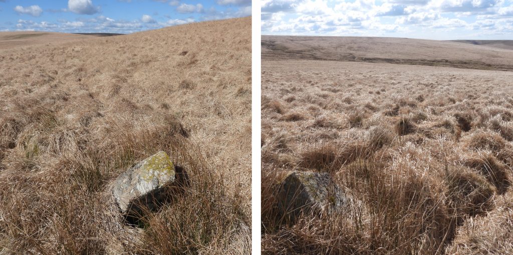
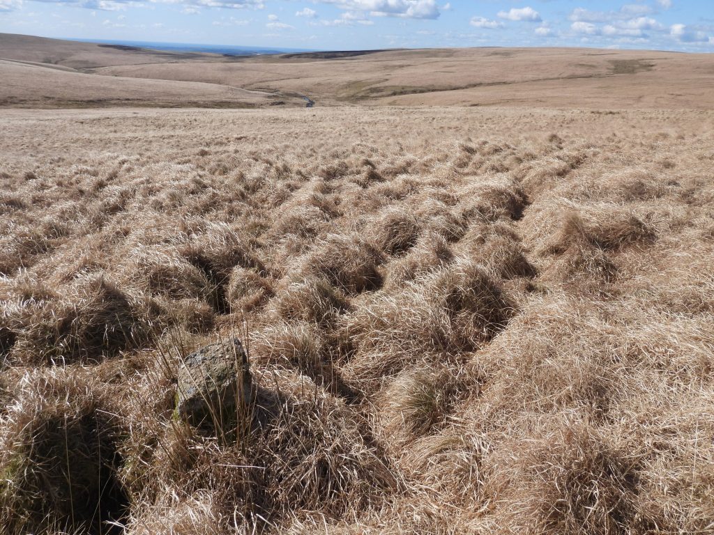
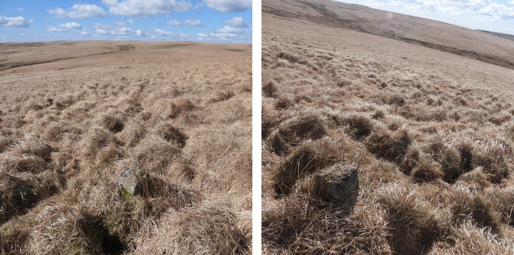
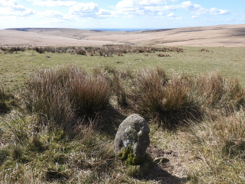
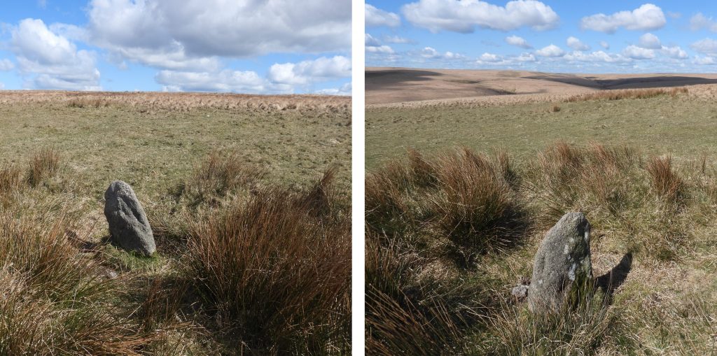
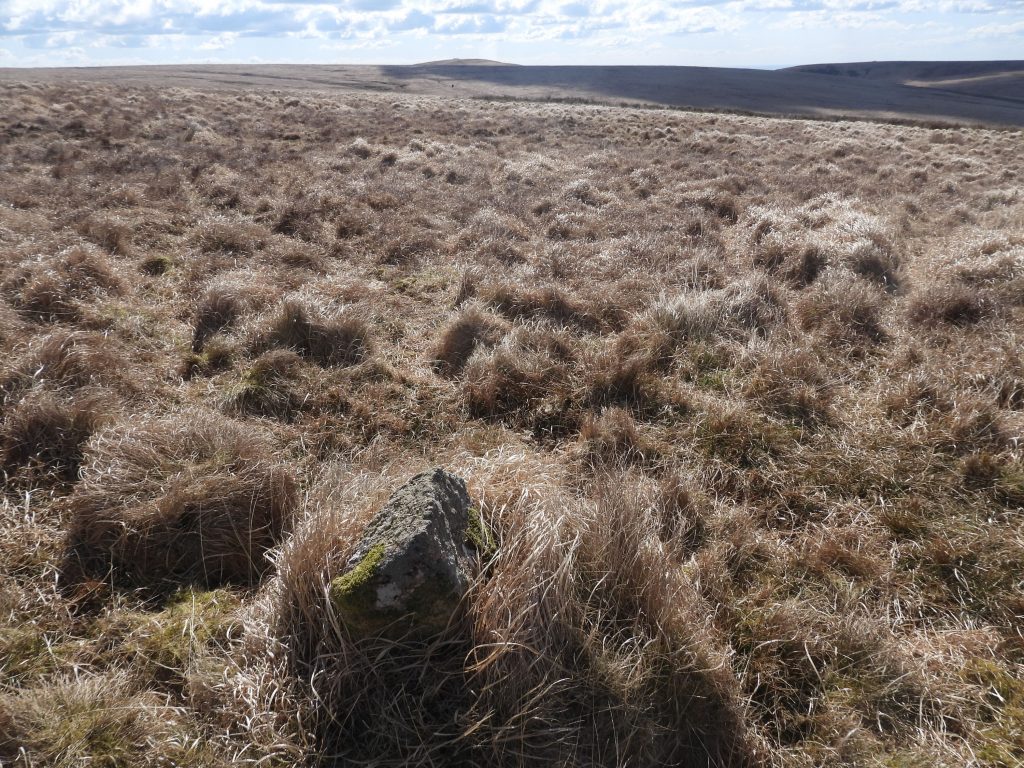
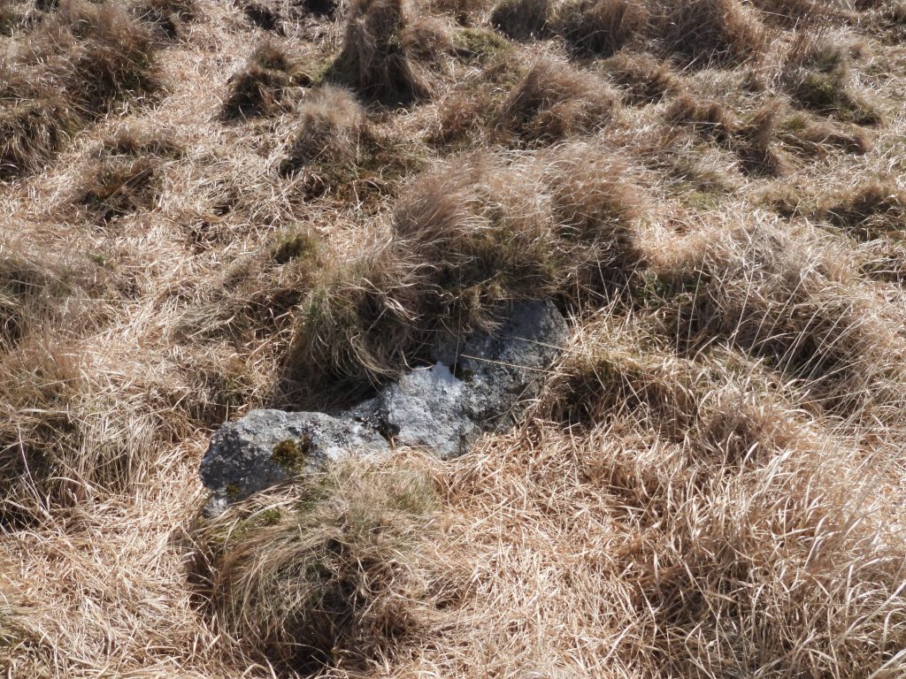
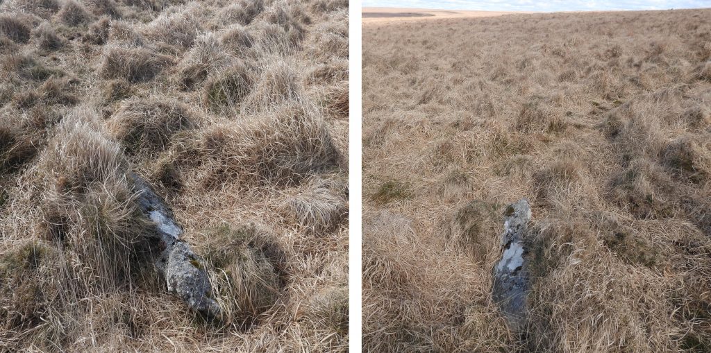
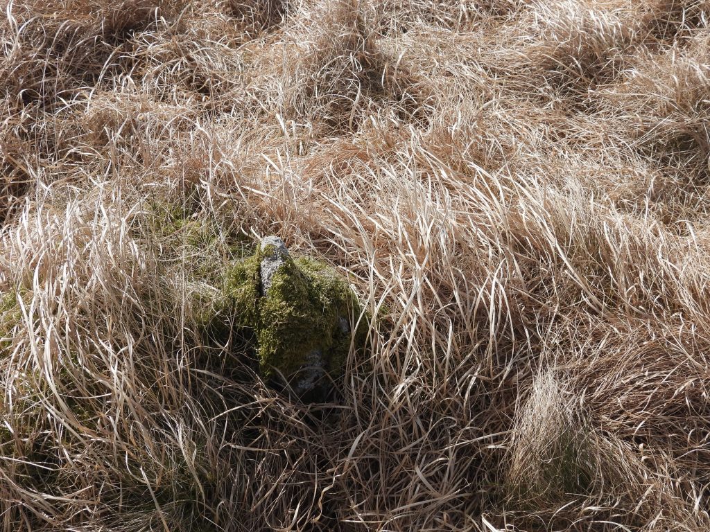
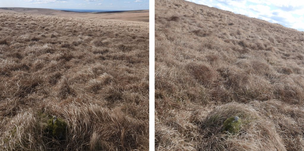
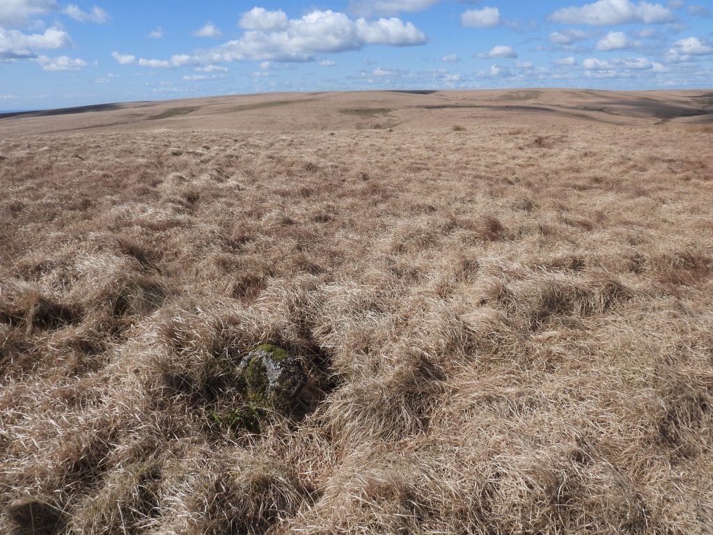
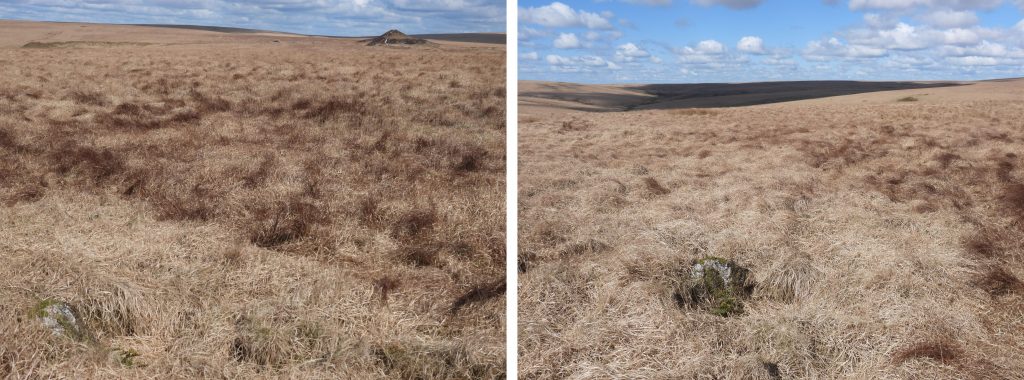
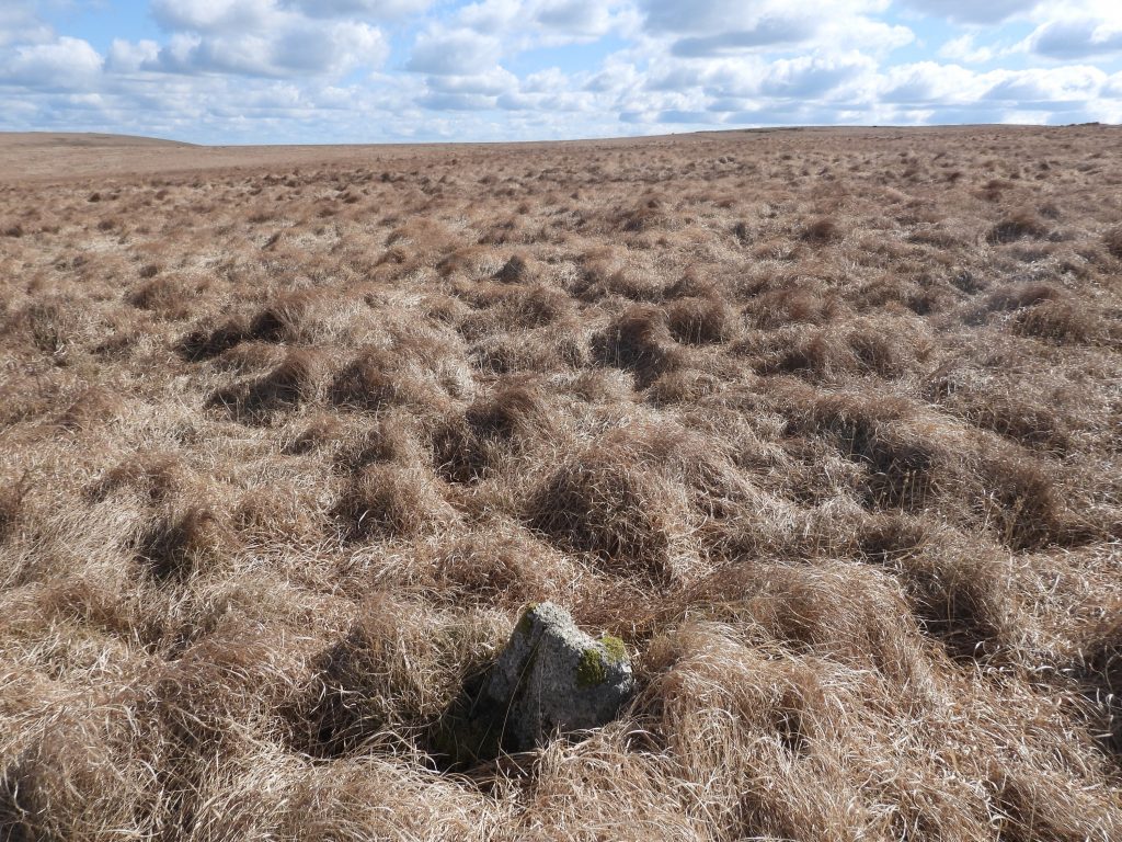
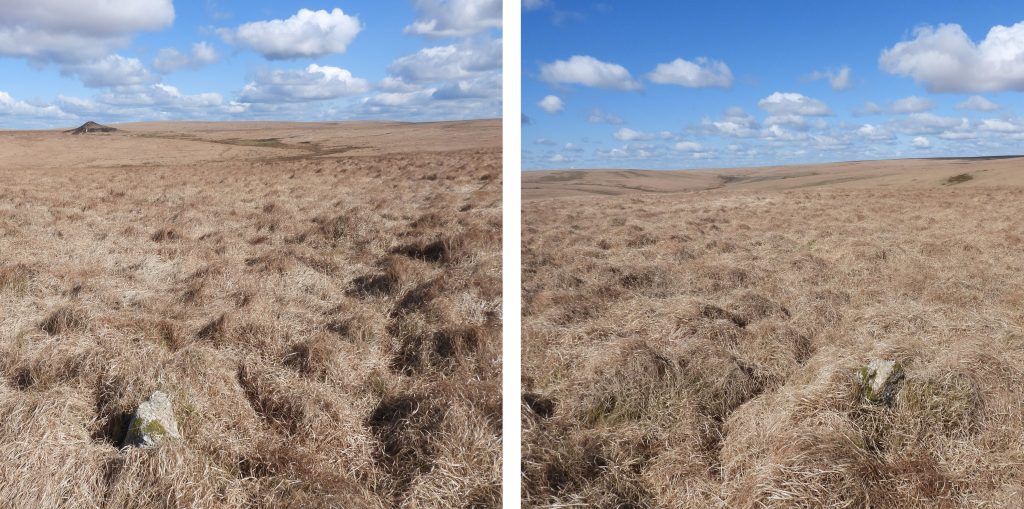
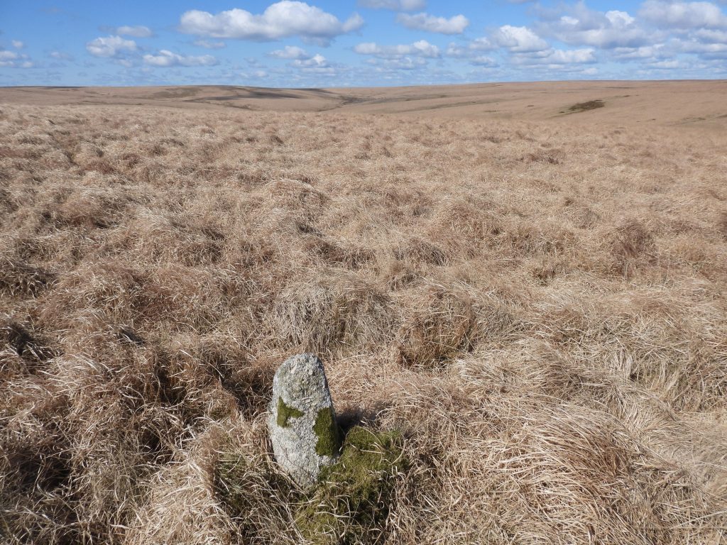
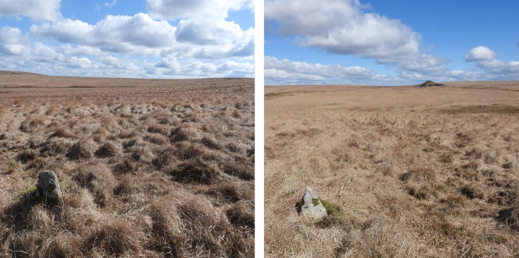
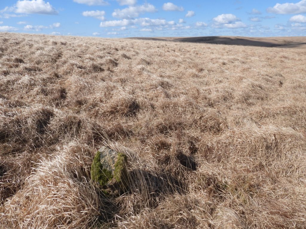
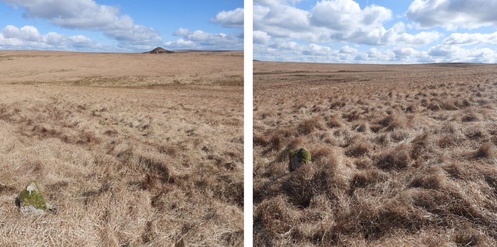
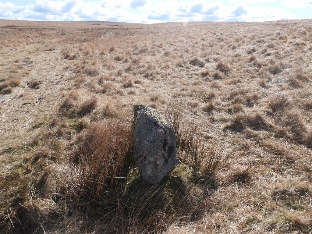
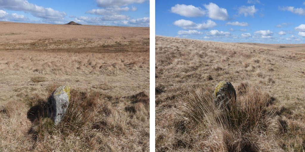
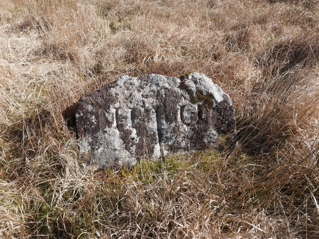
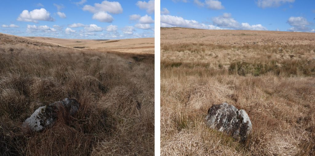
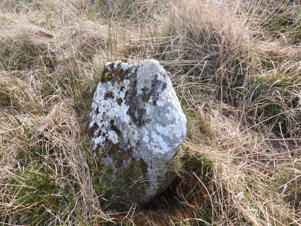
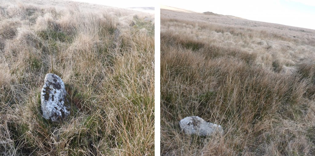
Map showing the full parish of Harford and the moorland section of the Ugborough parish. The boundary between the two parishes from Prowse’s Rock (No 1) in the south to the Outer U Stone (No 85) is covered which passes through Hobajon’s Cross (No 27) and Dry Lake Head (No 62). The boundary markers / stones labelling follows the nomenclature from the website Dartefacts in order to be consistent and so as not to confuse.The first 20 boundary markers on the boundary run from near the drystone wall which separates the farmland north of Ivybridge with open moorland, runs north east to Western Beacon then north through Black Pool to Butterdon Hill.Prowse’s Rock (No 1) with Ivybridge below and to the south. This boundary marker is inscribed with a “U” and an “H” representing the two parishes. There is a quote from J. Andrews, dated 26th July 1800 about this rock, viz: “Wm. Towzer says that all the moor which adjoins east Harford Moor on the east, from Prowse’s Rock to a Long Stone beyond Hobajones Cross, belongs to the manor of Torpike, and not to the manor of Langford Leister”. South of the rock the parish boundary leaves the moor and follows a course marked by stone walls and hedges to the Exeter-Plymouth road.The Dartmoor HER accurately states the measurements of the rock and inscriptions as being “2.362 metres horizontal length, the letters ‘H’ and ‘U’ 127 millimetres by 152 millimetres are cut on the west and east sides respectively”. The rock is located at SX64819 57291.Harford / Ugborough Parish Boundary Stone No 2, looking towards Western Beacon.The Boundary Stone No 2 was identified using the National Library of Scotland (side-by-side) mapping. It is the most probable stone in the vicinity as it is cut and does resemble a boundstone. It can be located at SX65150 57475.Between the boundary markers No2 and No3 lies the remains of a Royal Observer Corp. “lookout” and was used during WWII, when German raids on Plymouth would come across the moor as clay pits were used for navigation. This circular structure can be found at SX65191 57529.Harford / Ugborough Parish Boundary Stone No 3, looking towards Ivybridge.This splendid boundstone (No 3) can be found at SX65244 57534.Harford / Ugborough Parish Boundary Stone No 3A (as labelled by the Dartefacts website, which references Mark Fenlon)Boundary Stone No3A can be found at SX65283 57556.Harford / Ugborough Parish Boundary Stone No 4, looking west. Described in the Dartmoor HER as being an “upright granite slab 0.95 metres high by 0.28 to 0.56 metres wide and 0.20 metres thick”Boundary Stone No 4 can be found at SX65318 57581.Harford / Ugborough Parish Boundary Stone No 5, is recumbent and is described in the Dartmoor HER as a “Fallen granite slab 1.1 metres long by 0.34 metres wide and 0.27 metres thick”.Boundary Stone No 5 can be found at SX65356 57598Harford / Ugborough Parish Boundary Stone No 6 can be located amongst the cairns on Western Beacon. It is one of the few boundstones which are inscribed. It is recorded in the Dartmoor HER as being “1.35 metres by 0.37 metres by 0.32 metres with ‘U’ on the east face and ‘H’ on west face”Boundary Stone No 6 can be found at SX65427 57642. Note the “H” has had a mud makeover in the left hand picture.Harford / Ugborough Parish Boundary Stone No 7 is north of No 6 and it is this course which is now followed through Black Pool and onto Butterdon Hill.Boundary Stone No 7 can be found at SX65430 57677. It is recorded as measuring 0.95 metres by 0.40 metres by 0.40 metres and tapering at the top.Harford / Ugborough Parish Boundary Stone No 8, looking north towards Butterdon Hill. Ugborough Beacon can be seen, top right of the picture.Boundary Stone No 8 can be found at SX65445 57750. Described in the Dartmoor HER as being an “upright granite slab with tapered top of 0.9 metres high by 0.45 metres by 0.40 metres”.Harford / Ugborough Parish Boundary Stone No 9, looking towards Ugborough Beacon. It is an “upright thin granite slab with a tapered top of 0.98 metres high by 0.43 metres by 0.18 metres” (Dartmoor HER).Boundary Stone No 9 can be found at SX65455 57824.Harford / Ugborough Parish Boundary Stone No 10 is a “granite slab with a rounded top of 1.15 metres high by 0.40 metres by 0.24 metres” (Dartmoor HER)Boundary Stone No 10 can be located at SX65464 57920.Harford / Ugborough Parish Boundary Stone No 11 is “1 metre high by 0.40 metres by 0.2 metres with an erosion hollow at the base of 2 metres diameter by 0.4 metres deep” (Dartmoor HER)Boundary Stone No 11 can be found at SX65477 58007.The Harford / Ugborough Parish Boundary Stone No 12 at Black Pool is a “fallen granite slab, 1.2 metres long by 0.5 metres by 0.2 metres with a mound of stones at the base” as described by the Dartmoor HER and the location of which is confirmed by the National Library of Scotland (side-by-side) mapThe fallen Boundary Stone No 12 looking across Black Pool towards Butterdon Hill. It can be located at SX65492 58115.The Boundary Stones in this area appear to have been surrounded by a ring of setting stones. It is assumed that cattle may have contributed to this stone becoming recumbent due to them using it as a scratching post. Its proximity to the water attracting the cattle.The Harford / Ugborough Parish Boundary Stone No 13 is also known as the ‘Longstone’. It is a tall, thin upright stone of 1.85 metres high by 0.5 metres wide and 0.1 metres thick erected in the 19th century or earlier (Dartmoor HER).The ‘Longstone’ can be found at SX65503 58268.Harford / Ugborough Parish Boundary Stone No 14 is “1 metre high by 0.4 metres by 0.2 metres. Slab leans to the south-east” (Dartmoor HER)Boundary Stone No 14 can be found at SX65513 58393. The left hand picture is looking south towards Black Pool and Western Beacon. The right hand picture is looking north towards Butterdon Hill.Harford / Ugborough Parish Boundary Stone No 15 has large stones around the base (as have others in the area) and is recorded as being “0.95 metres high by 0.35 metres by 0.26 metres”.Boundary Stone No 15 can be found at SX65519 58475.Harford / Ugborough Parish Boundary Stone No 16 is an” upright granite slab with slanted top of 0.82 metres high by 0.32 metres by 0.18 metres”Boundary Stone No16 can be found at SX65524 58568.The Ordnance Surveyors of the late 19th century marked the cairns (tumulus) on Butterdon Hill from south to north as “Mound of Stones”, “Heap of Stones” and “Pile of Stones”, which are points 17, 18 and 19 respectively for the Harford / Ugborough Parish Boundary.Cairn and Trig Point on Butterdon Hill. It is one of a group of four cairns on Butterdon Hill and is badly damaged, especially around the perimeter. The cairn is 25 metres diameter by 3 metres high. It marks the 17th point in this post of the Harford / Ugborough parish boundary and has previously been known a “Mound of Stones”The centre of the cairn (No 17 boundary point) is recorded at SX65524 58568.Butterdon Hill summit cairn (labelled ‘5’ by Jeremy Butler) consists of a mound of stones of 28 metres in diameter and approximately 3 metres high. It is the 18th Ugborough / Harford Parish Boundary point and has also been known as “Heap of Stones”.The centre of the cairn (ie boundary point No 18) is at SX65592 58758. That said, there is a boundary stone type rock (see pictures) which is located at SX65586 58750. Is it possible that a boundary stone was erected here and is the true marker point ?The 19th point of the Ugborough / Harford Parish Boundary in this post is a cairn / stone circle which is described in the Dartmoor HER as being “a low cairn within a retaining circle of stones at the south end of the Butterdon stone row, with which it is associated. The circle is 11 metres in diameter, and consists of twelve stones, all now recumbent”. On the 19th century map it was referred to as “Pile of Stones”. Worth wrote (in 1941), “that one was erect and three were leaning”. The photograph shows one of the stones which looks very much like a boundary stone.The large recumbent stone in “The Pile of Stones” (cairn / stone circle) can be found at SX65623 58810.The next set of boundary markers (20 through 44) follows the Butterdon Stone Row, then crosses the Redlake Tramway and continues following the stone row to Hobajon’s Cross and (a second) “Longstone”. The boundary then proceeds across Pile Hill and past Sharp Tor as it heads towards the Leftlake area. The Butterdon Hill (single stone) alignment is 1.95 kilometres long tand is the second longest stone alignment on Dartmoor. Harford / Ugborough Parish Boundary Stone No 20 can be found close to Hangershell Rock and a round cairn to the east of the Butterdon stone row. It is not mentioned on the Dartmoor HER but is shown on the National Library of Scotland (side-by-side) maps. Boundary Stone No 20 is located at SX65639 59438.Harford / Ugborough Parish Boundary Stone No 21 is shown on the National Library of Scotland (side-by-side) maps. Boundary Stone No 21 is located at SX65633 59516.Harford / Ugborough Parish Boundary Stone No 22 is shown on the National Library of Scotland (side-by-side) maps but not specifically mentioned on the Dartmoor HER, albeit it is part of the Butterdon stone row. Boundary stone No 22 is located at SX65621 59614.The Harford / Ugborough Parish Boundary now crosses the Redlake Tramway with No 23 pictured above. Hangershell Rock can just be discerned in the background.Boundary stone No 23 is located at SX65601 59798.Harford / Ugborough Parish Boundary Stone No 24 looking towards the lower slopes of Piles Hill.Boundary Marker No 24 can be found at SX65577 59935.Harford / Ugborough Parish Boundary Stone No 25 lies close to the rifle butts of the Butter Brook rifle range which was only used for a short period, from April to July 1861. The range comprised 4 alleys with 4 sets of butts with 4 Observation Posts. Each of these 4 alleys had two “lanes” with range markers up to 900 yds away at 50 yd intervals. More information can be found here: https://dartmoorexplorations.co.uk/butter-brook-rifle-range-survey/Boundary Stone No 25 can be found at SX65542 60185.Harford / Ugborough Parish Boundary Stone No 26 near the bottom of Piles Hill.Boundary Marker No 26 can be found at SX65523 60358.Harford / Ugborough Parish Boundary Stone No 27 is known as Hobajon’s Cross. It has also been referred to as Hobajohn’s, Habajons or Hobajones Cross. It is recorded as being a natural stone “1.3 metres. high and 0.5 metres square at the base tapering towards the top with an incised cross on the west face of the stone”. Masson Phillips wrote of Hobajon’s Cross : “This position agrees with the cross shown and named on the map believed to date from 1478. Formerly it was thought that Hobajohn’s Cross was north of the Three Barrows, probably at the spot occupied by the Ermington boundary stone”. Hobajon’s cross can be found at SX65509 60468. Harford / Ugborough Parish Boundary Stone No 28 which is shown on National Library of Scotland (side-by-side) maps and is briefly mentioned on the Dartmoor HER.Boundary Stone No 28 can be found at SX65471 60617.Harford / Ugborough Parish Boundary Stone No 29 is located next to the ‘Longstone’ on Piles Hill, which marks the northern end of the Butterdon stone row. The ‘Longstone’ was recently re-erected (circa 2019) by Dartmoor Rangers and is recorded as measuring “1.8 metres high by 0.55 metres wide by 0.50 metres thick and made of coarse-grained granite”.Boundary Stone 29 is located at SX65428 60736.Harford / Ugborough Parish Boundary Stone No 30 on Pile Hill can easily be overlooked as it is recumbent and hidden by long grass and reeds. The recumbent Boundary Stone No 30 can be found at SX65414 60867.Harford / Ugborough Parish Boundary Stone No 31 is inscribed with an ‘H’ (west face) and a ‘U’ (east face). It is 1.3 metres high by 0.40 metres wide and 0.40 metres thick (Dartmoor HER). It is located on the Blackwood Path which is , an old track which enters the moor at Wrangaton Moor Gate before crosseing the moor in a northerly direction as far as Stony Bottom in Hook Lake. There is a possible extension to Erme Pound. It is believed that the Blackwood Path was used by the peat-cutters, moormen, tinners and others whose work took them to the upper reaches of the Erme.The ‘U’ inscription on Boundary Stone No 31. It is located at SX65388 61057.Boundary Stone No 31 looking towards Three Barrows (left picture) and Sharp Tor (right picture).Harford / Ugborough Parish Boundary Stone No 32 lies near the Redlake Tramway. Boundary Stone No 32 can be found at SX65354 61164.Harford / Ugborough Parish Boundary Stone No 33 next to the Redlake Tramway.Boundary Stone No 33 can be found at SX65323 61266.Harford / Ugborough Parish Boundary Stone No 34 looking south.Boundary Stone No 34 can be found at SX65298 61346.Harford / Ugborough Parish Boundary Stone No 35 below the Redlake Tramway embankment.Boundary Stone No 35 is located at SX65269 61438.Harford / Ugborough Parish Boundary Stone No 36 alongside the Redlake Tramway.Boundary Stone No 36 is located at SX65236 61551.Harford / Ugborough Parish Boundary Stone No 37. This area is marked as “Boundary Stones” on modern OS maps.Boundary Stone No 37 can be found at SX65208 61639.Harford / Ugborough Parish Boundary Stone No 38 is leaning !Boundary Stone No 38 can be found at SX65179 61727.Harford / Ugborough Parish Boundary Stone No 39 with a view looking south east (ish) with the Redlake Tramway, Ugborough Beacon and Butterdon Hill also in the picture.Boundary Stone No 39 can be found at SX65154 61807.Harford / Ugborough Parish Boundary Stone No 40 is inscribed ‘H’ for Harford and ‘U’ for Ugborough.The ‘U’ inscription on Boundary Stone No 40. Sharp Tor can be seen in the background.Boundary Stone No 40 can be found at SX65126 61895.Harford / Ugborough Parish Boundary Stone No 41 is located near a small track which leads to Sharp Tor.Boundary Stone No 41 is located at SX65111 61940.Harford / Ugborough Parish Boundary Stone No 42 looking east towards Three Barrows.Boundary Stone No 42 can be found at SX65095 61997.Harford / Ugborough Parish Boundary Stone No 43 with a view towards the Erme Valley.Boundary Stone No 43 can be located at SX65069 62074.Harford / Ugborough Parish Boundary Stone No 44 is located above Piles Corner.Boundary Stone No 44 can be found at SX65045 62160.The next set of boundary markers (45 through 62) follow (and criss-cross) the Redlake Tramway as they extend northwards through Leftlake old clay works to near Dry Lake Head.Harford / Ugborough Parish Boundary Stone No 45, with the River Erme far below.Boundary Stone No 45 can be found at SX65007 62283.Harford / Ugborough Parish Boundary Stone No 46 is on more open ground compared with its near neighbours who are surrounded by tussocky grass.Boundary Stone No 46 is located at SX64981 62373.Harford / Ugborough Parish Boundary Stone No 47 with a superb view down towards Piles Copse next to the River Erme.Boundary Stone No 47 can be found at SX64968 62411.Harford / Ugborough Parish Boundary Stone No 48Boundary Stone No 48 can be found at SX64950 62472.Harford / Ugborough Parish Boundary Stone No 49Boundary Stone No 49 can be found at SX64925 62549.Harford / Ugborough Parish Boundary Stone No 50 looking towards Sharp Tor. The line of the Redlake clay pipeline can be discerned crossing the hillside on its way to Cantrell.Boundary Stone No 50 can be found at SX64903 62621.Harford / Ugborough Parish Boundary Stone No 51 looking down on Piles Copse and across the River Erme to Hillson’s HouseBoundary Stone No 51 can be found at SX64861 62752.Harford / Ugborough Parish Boundary Stone No 52, back amongst the tussocky grassBoundary Stone No 52 can be found at SX64821 62885.Harford / Ugborough Parish Boundary Stone No 53. The wooded hilltop of Hall Plantation on Burford Down can be seen in the distance.Boundary Stone No 53 is located at SX64787 62996.Harford / Ugborough Parish Boundary Stone No 54 is recumbent and lies north of the Redlake Tramway.Boundary Stone No 54 with Three Barrows in the distance can be found at SX64746 63115.Harford / Ugborough Parish Boundary Stone No 55 with Three Barrows and Sharp Tor in the background.Boundary Stone No 55 can be found at SX64718 63213.Boundary Stone No 55, also has a benchmark inscribed on it. The benchmark reference is B.M 1372.9Boundary Stone No 55 with benchmark mud “makeover”.The Harford / Ugborough Parish Boundary Stones 56, 57 and 58 are shown on late 19th century maps before the 20th century claymen built the tramway and the workings at Leftlake were extended. The author believes that none of the three boundary stones are extant but has recorded their probable position for completeness of this post. The Blackwood Path can be seen on this map running through the area of the clayworks.Harford / Ugborough Parish Boundary Stone No 56 location overlooks the Leftlake clay works. At this location, or at least very close to it (SX64693 63291), the author found a very small rock and a brick with a “Carbis” imprint. The location of the original B.S would have been very close to the mica drags at Left Lake and it is not inconceivable that the 20th century clay workers used it. The brick would have been used at Leftlake and looks like it was manufactured in Cornwall at the Carbis Brick and Tile Company at Roche.Harford / Ugborough Parish Boundary Stone No 57 is shown on the National Library of Scotland (side-by-side) maps as being located at SX64641 63460. This location has been “worked over” by the claymen and the only possible candidate in the authors opinion is located at SX64640 63472. Note: Dartefacts labels this as No 58.At SX64642 63468 (close to where No 57 would have been) is a very small rock which when placed upright looks (in the photographs anyway) as a B.S. The size and location of this small rock is, in humble opinion of the author out of keeping with all the other BSs in the series and therefore can be discounted.Harford / Ugborough Parish Boundary Stone No 58 is shown on the National Library of Scotland (side-by-side) maps as being located at SX64636 63477. If one accesses the side-by-side (1873 map) the B.S is shown as being north of Leftlake (stream), albeit the stream appears to have been “moved” slightly north by the 20th century clay workings (select 1873 then 1949 and you’ll see what I mean). The author concludes that the original BS probably would have been swallowed up by the 20th century clay workings.An alternative possibility it the stone at SX64640 63472 may be either Boundary Stone No 57 or No 58. Harford / Ugborough Parish Boundary Stone No 59 overlooking the Leftlake clay workings.Boundary Stone No 59 can be found at SX64610 63563.Harford / Ugborough Parish Boundary Stone No 60 amidst very tussocky grass, which strongly features in the rest of the boundary all the way to Red LakeBoundary Stone No 60 can be found at SX64572 63684.Harford / Ugborough Parish Boundary Stone No 61Boundary Stone No 61 can be found at SX64542 63778.Harford / Ugborough Parish Boundary Stone No 62 is located near Dry Lake Head. It is inscribed ‘U’ (for Ugborough) and ‘H’ (for Harford). Boundary Stone No 62 can be found at SX64516 63852.The final set of boundary markers (62 through 86) criss-cross the Redlake Tramway for a final time, descend to Stony Bottom (Hook Lake) before ascending over Brown Heath to Red Lake. The ground in this region is very tussocky and probably the most difficult of the entire Parish Boundary. Late Winter or early Spring is probably the best time to explore this area when the grass is at its lowest.Harford / Ugborough Parish Boundary Stone No 63 is just north of the Redlake TramwayBoundary Stone No 63 can be found at SX64498 64101.Harford / Ugborough Parish Boundary Stone No 64 with River Erme valley in the distance.Boundary Stone No 64 can be found at SX64491 64225.Harford / Ugborough Parish Boundary Stone No 65Boundary Stone No 65 can be found at SX64485 64299.Harford / Ugborough Parish Boundary Stone No 66 lies just to the north of the Redlake TramwayBoundary Stone No 66 can be found at SX64479 64370.Harford / Ugborough Parish Boundary Stone No 67 lies in an area of reeds, similar to many other in this areaBoundary Stone No 67 can be found at SX64467 64517.Harford / Ugborough Parish Boundary Stone No 68Boundary Stone No 68 with views over Hook Lake, Erme Valley and Quickbeam Hill. It can be located at SX64461 64617.Harford / Ugborough Parish Boundary Stone No 69, almost hidden by reeds.Boundary Stone No 69 can be found at SX64448 64731.Harford / Ugborough Boundary Stones / Markers No 70 and 71 lie either side of Hook Lake at Stony Bottom. Harford / Ugborough Boundary Stone No 70 needed a bit of “gardening” to locate. The stone is recumbent and was overgrown with only the “chocking” stones for the BS visible and not the BS itself. The B.S is approx 1m long.Boundary Stone No 70 can be found at SX64437 64902.On the National Library of Scotland (side-by-side) 1888 map Boundary Marker No 71 is shown at SX64431 64989. The (probable) marker can be seen looking across Hook Lake from Boundary Marker No 70. A large boulder at SX64431 64985 (within the realms of measurement errors from using side-by-side maps) is likely to be Boundary Marker No 71. It is a natural boulder (like a few others on the parish boundary). The author believes the boulder is the boundary, as why would a new BS type marker be erected if a natural stone was already there on the boundary? Boundary Stone / Marker No 71 may well have a ‘H’ or ‘U’ inscribed on its top surface (underneath the grass). According to Dave Brewer in Dartmoor Boundary Markers (second edition), page 142 “the ‘U’ stone at Stony Bottom” was missing. Harford / Ugborough Boundary Stone No 72 lies to the north of Hook Lake.Boundary Stone No 72 can be found at SX64419 65108.Harford / Ugborough Boundary Stone No 73 hidden by reeds.Boundary Stone No 73 can be found at SX64401 65309. The views in the pictures are looking south towards Hook Lake and River Erme valley.Harford / Ugborough Boundary Stone No 74Boundary Stone No 74 can be found at SX64395 65391.Harford / Ugborough Boundary Stone No 75Boundary Stone No 75 can be found at SX64387 65476.Harford / Ugborough Boundary Stone No 76 is on unusually open ground on the south side of Brown Heath.Boundary Stone No 76 can be found at SX64376 65616. There are extensive views towards River Erme valley.Harford / Ugborough Boundary Stone No 77, looking south.Boundary Stone No 77 can be found at SX64369 65699.Harford / Ugborough Boundary Stone No 78 is recumbent.Boundary Stone No 78 is located at SX64354 65840.Harford / Ugborough Boundary Stone No 79Boundary Stone No 79 is located at SX64350 65939.Harford / Ugborough Parish Boundary Stone No 80, looking west.Boundary marker No 80 can be found at SX64343 66028. This stone can be located close to the “loop” of the Red Lake tramway as it contours around Brown Heath.Harford / Ugborough Parish Boundary Stone No 81.Boundary marker No 81 can be found at SX64332 66123.Harford / Ugborough Parish Boundary Stone No 82, looking west into the Erme Valley.Boundary marker No 82 can be found at SX64329 66198.Harford / Ugborough Parish Boundary Stone No 83, looking west.Boundary marker No 83 can be found at SX64323 66262.Harford / Ugborough Parish Boundary Stone No 84, looking east.Boundary marker No 84 can be found atSX64317 66312.Dave Brewer calls this H U stone with inscribed line between as the “Outer U Stone” in his Boundary Markers 2nd edition (P142) and it is recorded on the Dartmoor HER as being 0.8m high, 1.0m wide and 0.25m thick. It is marked No 85 on the map.The “Outer U Stone” has deeply inscribed letters (H and U), which are 12cm high and are inscribed on the SW face. There is also an deeply inscribed “line” between the letters indicating the boundary line. The stone can be found at SX64311 66386This moorland slab (labelled 86 on map) marks the outermost bound of Ugborough Parish and its division from Harford Parish. This point is also the boundary of these two parishes with Dartmoor Forest (ref Dave Brewer 1986, A field guide to the boundary markers on and around Dartmoor). This moorland slab (labelled 86 on map) is recorded as being 1m high, 0.7m wide and 0.15m thick. There is no inscription. It can be located at SX64312 66393.