A collection of walks, discoveries, insights and pictures of exploring Dartmoor National Park
July 29, 2020
HAMLYNS LEAT FROM HOLY BROOK TO UPPER (HAMLYNS) MILL AT BUCKFAST
Steve Grigg and Frank Collinson
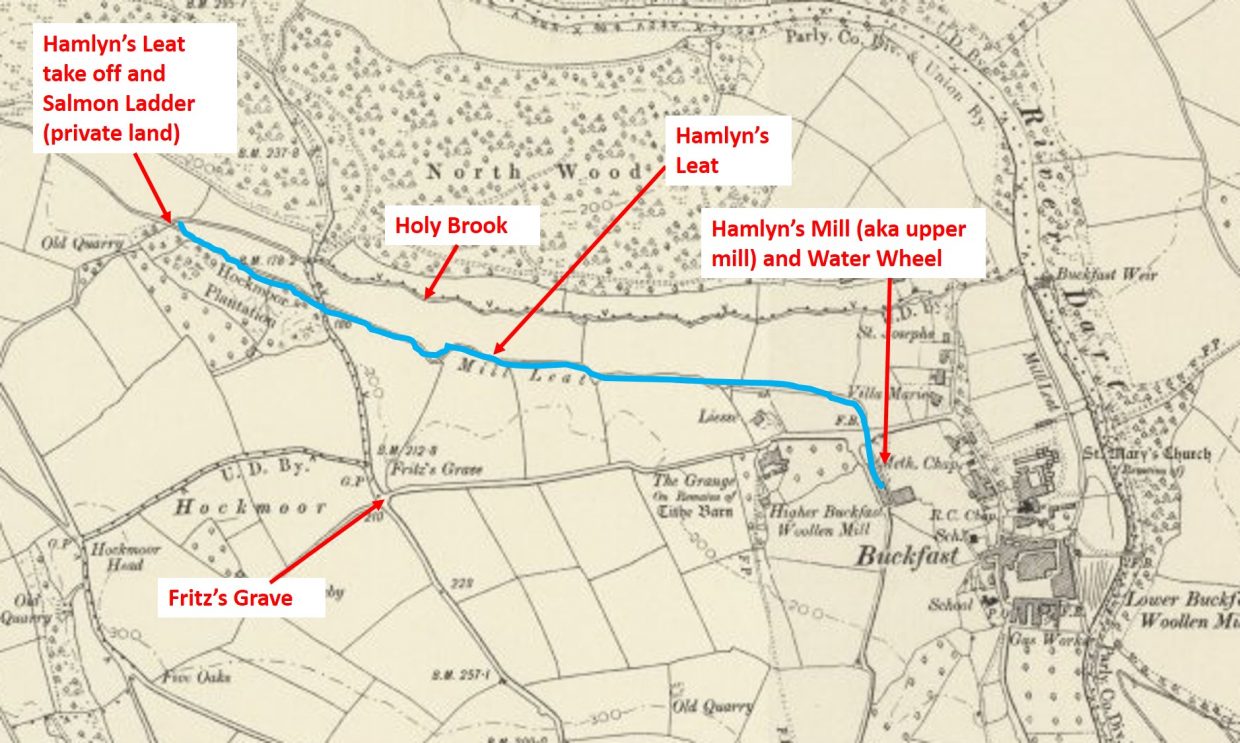
Hamlyn’s Leat (Holne Moor Leat) was necessary to run a water wheel at the mill run by the Hamlyn’s in the 19th century. They were fellmongers, buying sheepskins and selling wool and pelts separately. The head of water provided by the Holy Brook wasn’t sufficient to drive the wheel, so the brook was supplemented with water from the high Moor. The leat (higher) take off is at Horse Ford on the O Brook, it then winds around Combestone Tor and Hangmans Pit. It now enters a pipe on the west side of Venford reservoir and emerges again on the east side. It then provides water (via bullseyes) to a few farmsteads before crossing the Holne – Hexworthy Road. It then goes over a mini aqueduct (crossing Holne Town Gutter) before entering Great Combe and thence onto the Holy Brook.
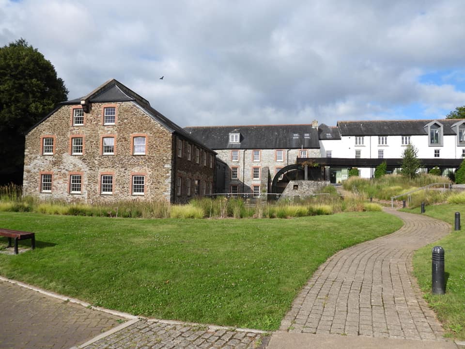
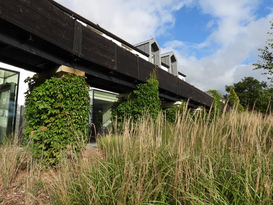
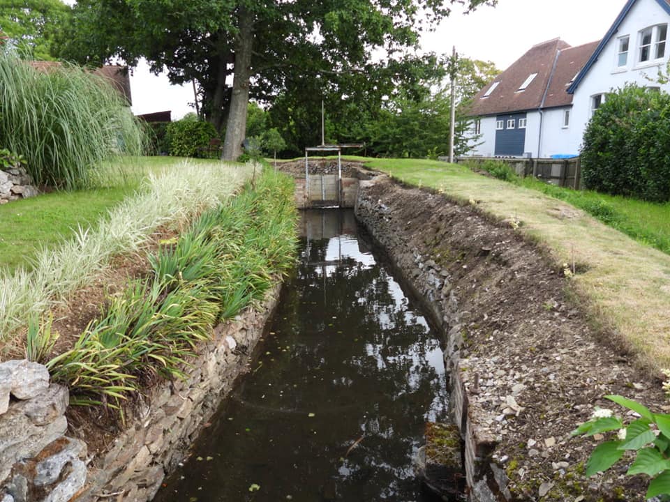
Map showing the key features in this post. Please note that the leat take off point is on PRIVATE land. We sought permission to access and photograph the sluice gate, weir and salmon ladders from the owners of Hockmoor House, on whose land these features are now located.The view of the upper mill after restoration over the last 30 years. It was used by the Hamlyn family in 19th century and was a plating mill in 1953, but was derelict by 1992.There was a mill on this site by 1730 (source Historic England)
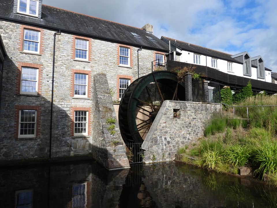
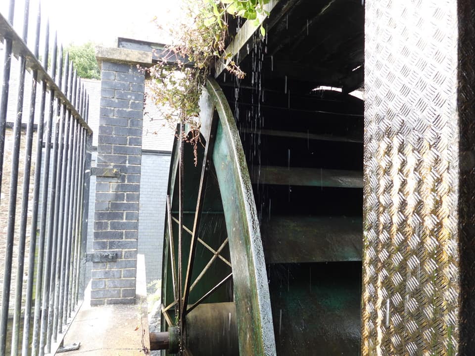
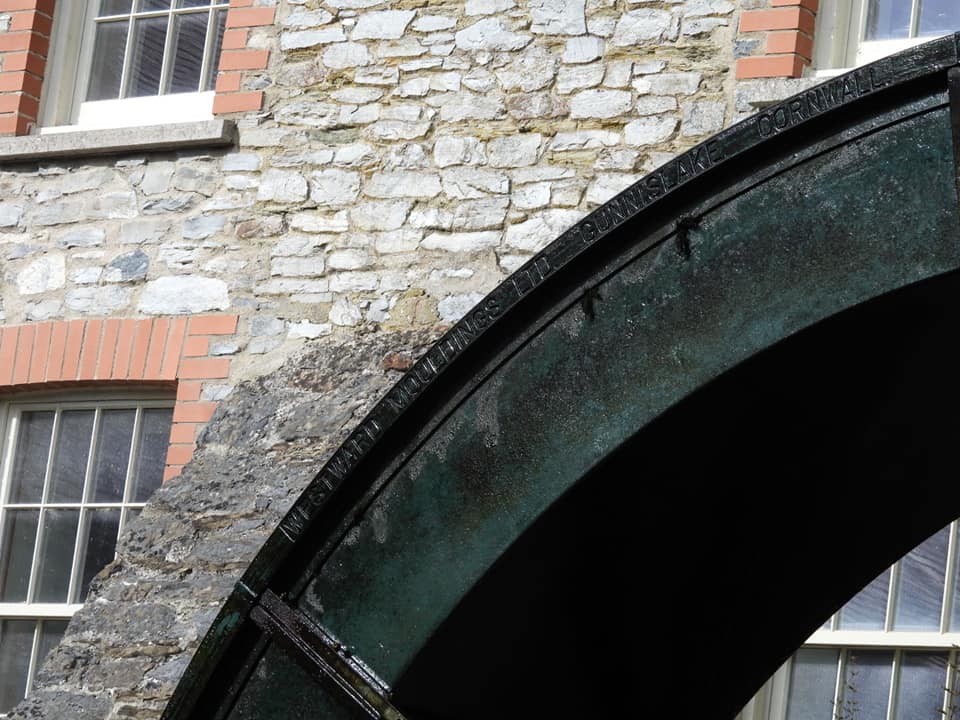
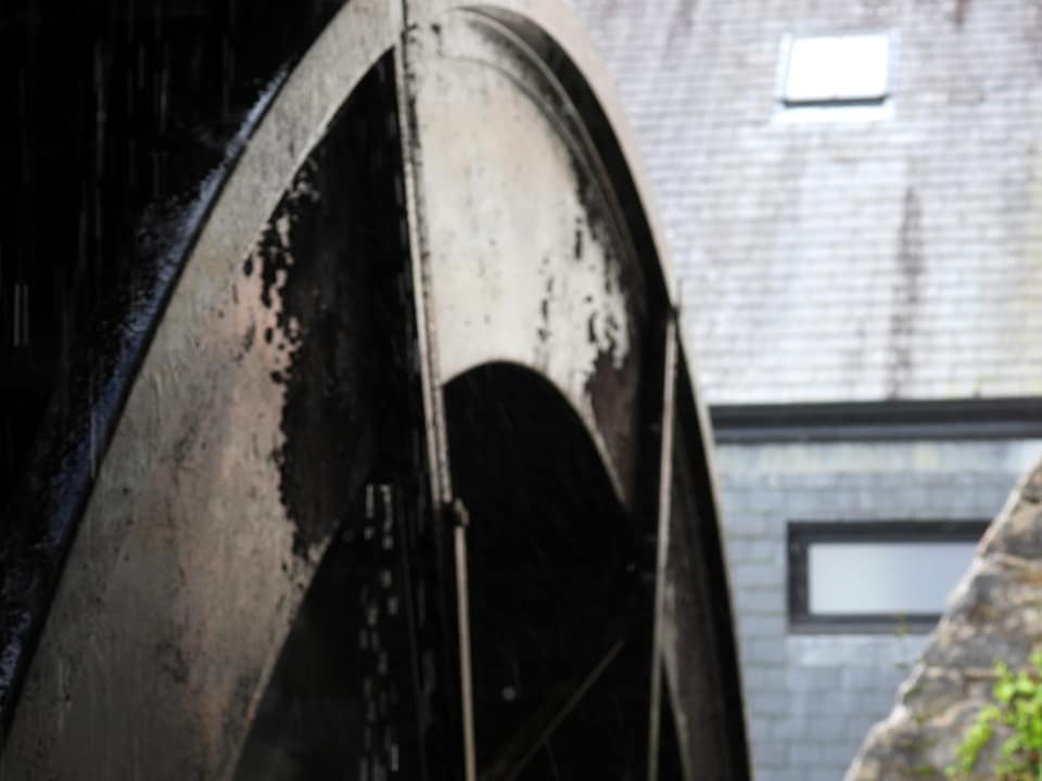
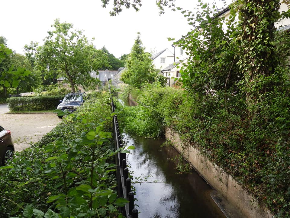
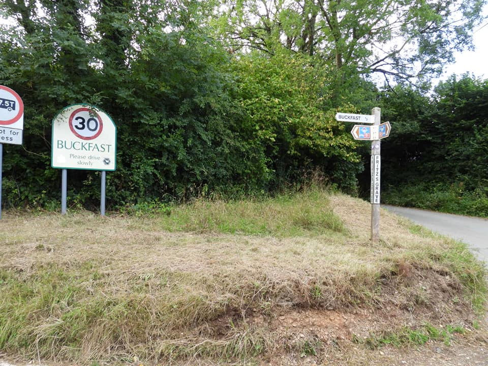
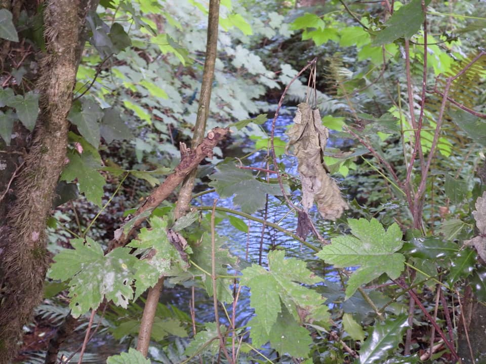
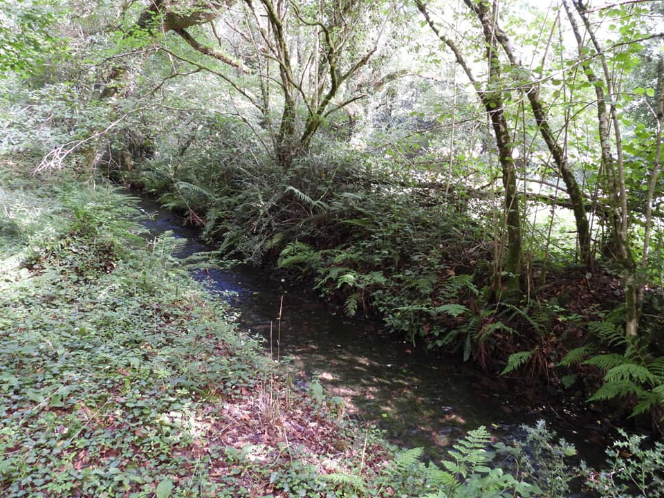
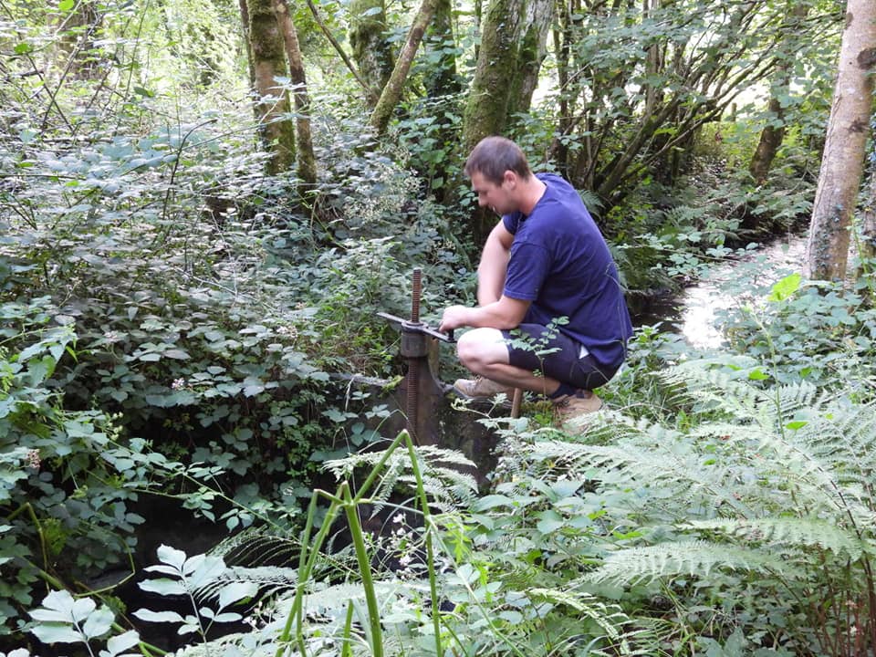
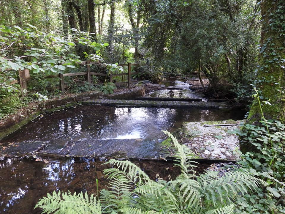
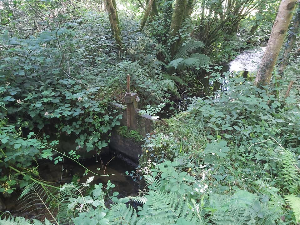
The wheel in operation today. I understand the wheel was replaced in 1999. It does move, albeit very slowly.Wheel close up.Made in Gunnislake, Cornwall by Westward Mouldings Ltd (stamped on the side of the wheel). Made of fibreglass, but looks the part.Under the launder by the wheel at SX73920 67374The launder todayLeat entering the launder taken from the road, which crosses the leat.The other side of the road showing sluice gate. SX73886 67465Leaving Buckfast the leat is down there somewhere. The trees are North Wood.En route to the leat take off point is Fritz’s Grave crossroads at SX73188 67379. This is mentioned by Crossings Guide (p349). Further to this, the story is picked up in the Dartmoor News in 1996, where it is said that this is the burial location of a tramp, who used to live in a shelter at this crossroads. When he died, he was buried where he had requested, at the site where he lived. It is believed his name may have been Furzes.Finding the leat again as it passes underneath the road to Hembury Woods. SX73103 67666Having gained permission to follow the leat to its (lower) head weir, there is a delightful path along side. This and the remaining pictures are on PRIVATE land.At the lower headweir is a sluice gate, where we met this guy, who works for the Abbey maintenance team. He was opening the sluice by a few inches to increase the flow of water to the leat and onto the wheel.Salmon ladders at the weir. This is the Holy Brook.Close up of the sluice
Video shows the weir, sluice and salmon ladders and their relative positions.

1 Pingback