A collection of walks, discoveries, insights and pictures of exploring Dartmoor National Park
December 22, 2022
Drizzlecombe Target Butts
Drizzlecombe is synonymous with antiquities dating from late Neolithic (2400-2000BC) and Bronze Age (2000-700 BC) periods. According to Historic England there are “3 stone alignments, 15 cairns (some with cists), a cist, 5 enclosures and 19 stone hut circles, lying in the triangle of land between Drizzlecombe Brook and the River Plym”. There are also tin streamworks adjacent to the Plym and along Drizzlecombe brook (the latter being supplemented with water by a couple of leats). There are also several leats on the eastern boundary of the ‘triangle’ which were constructed to provide water to the mine and dressing floors at Eylesbarrow in the 19th century.
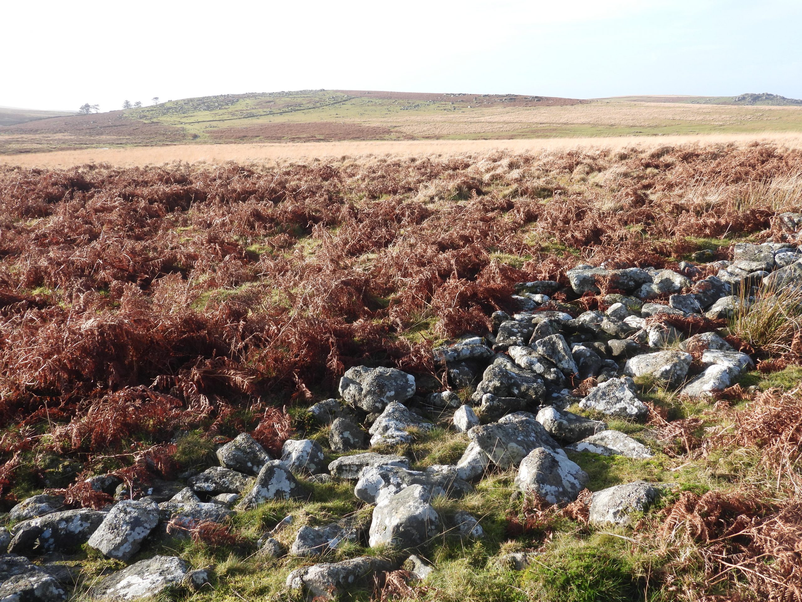
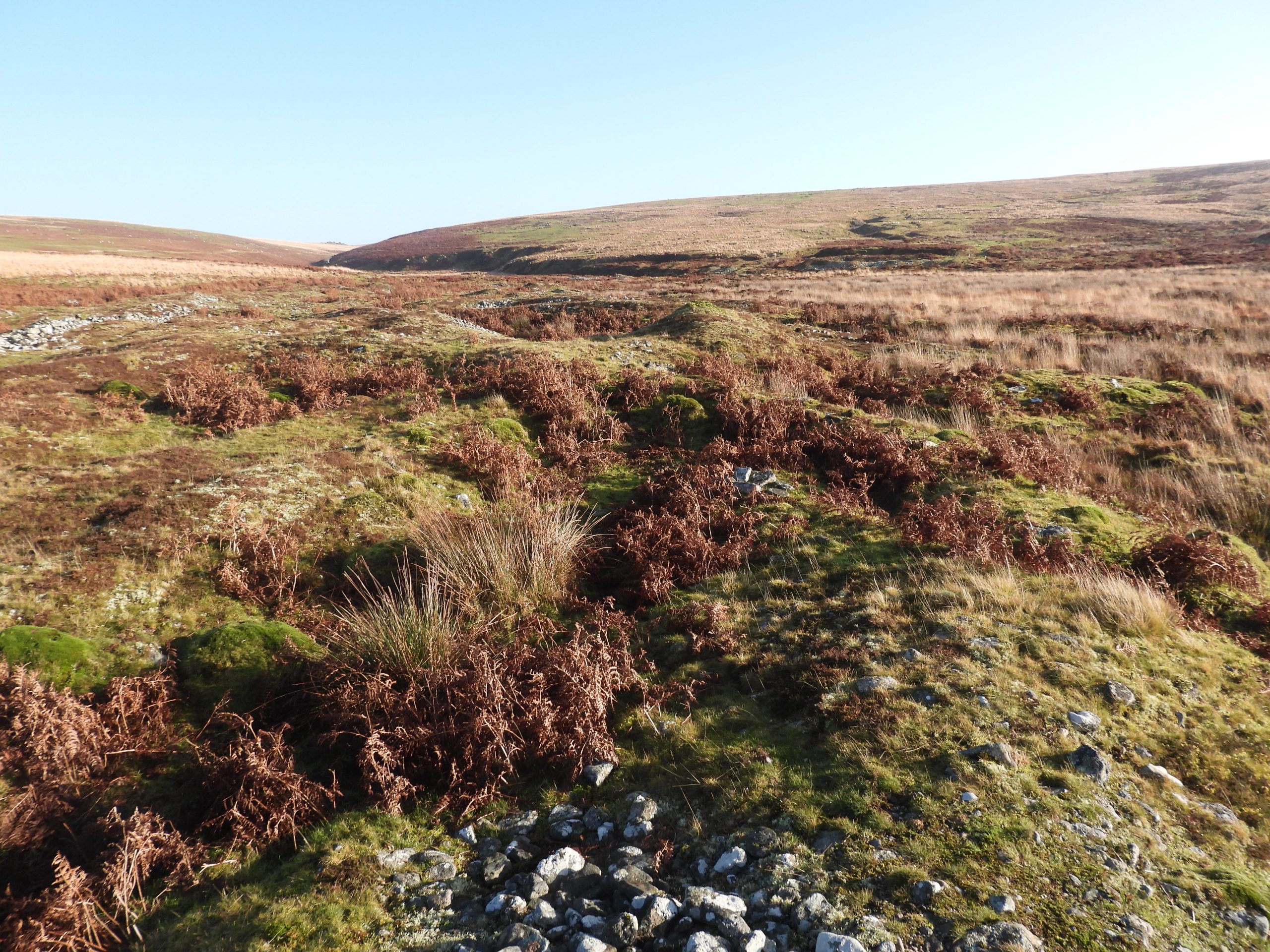
Against this rich history of antiquities and industrial archaeology, it came a surprise to the author that there was a probable set of 20th century target bases / butts in the area. Whilst looking at Giant’s Basin (very large cairn) on Google Earth, the author’s eye was drawn to several rectangular features, which look like piles of stone to the south. With further research from two sources, these features are considered to be either stony bases for (unfinished) earthen pillow mounds or had a military function possibly as target bases / butts. Armed with this information, this post contains a annotated photographic record of these and other features in the immediate area and considers their possible function.
Bibliography:
Fletcher, M. + Newman, P. + Probert, S., 1999, Drizzlecombe, Eylesbarrow, Ditsworthy and Hartor areas in the Plym Valley.
Post-Graduate Thesis: Robertson, J. G.. 1994. The Archaeology of the Upper Plym Valley. Edinburgh University.
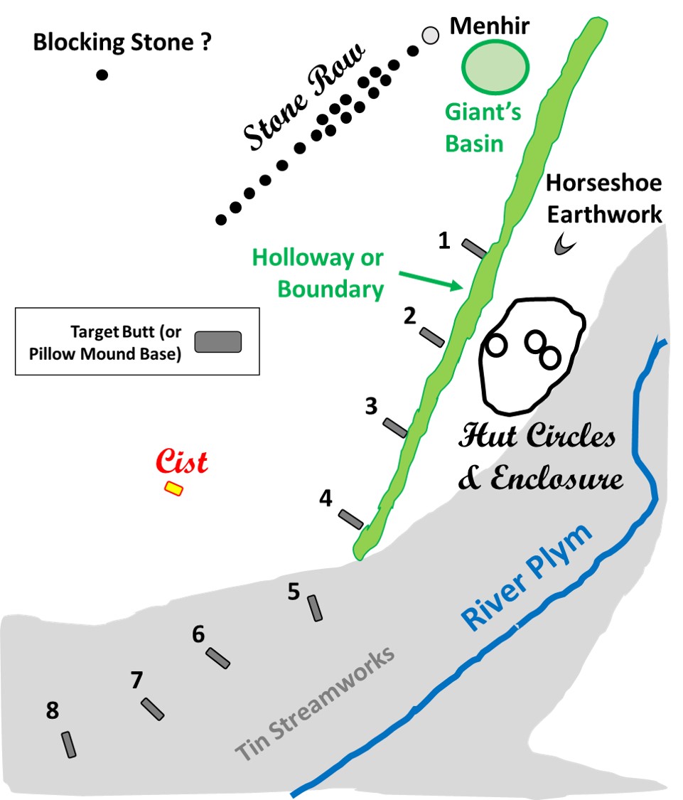
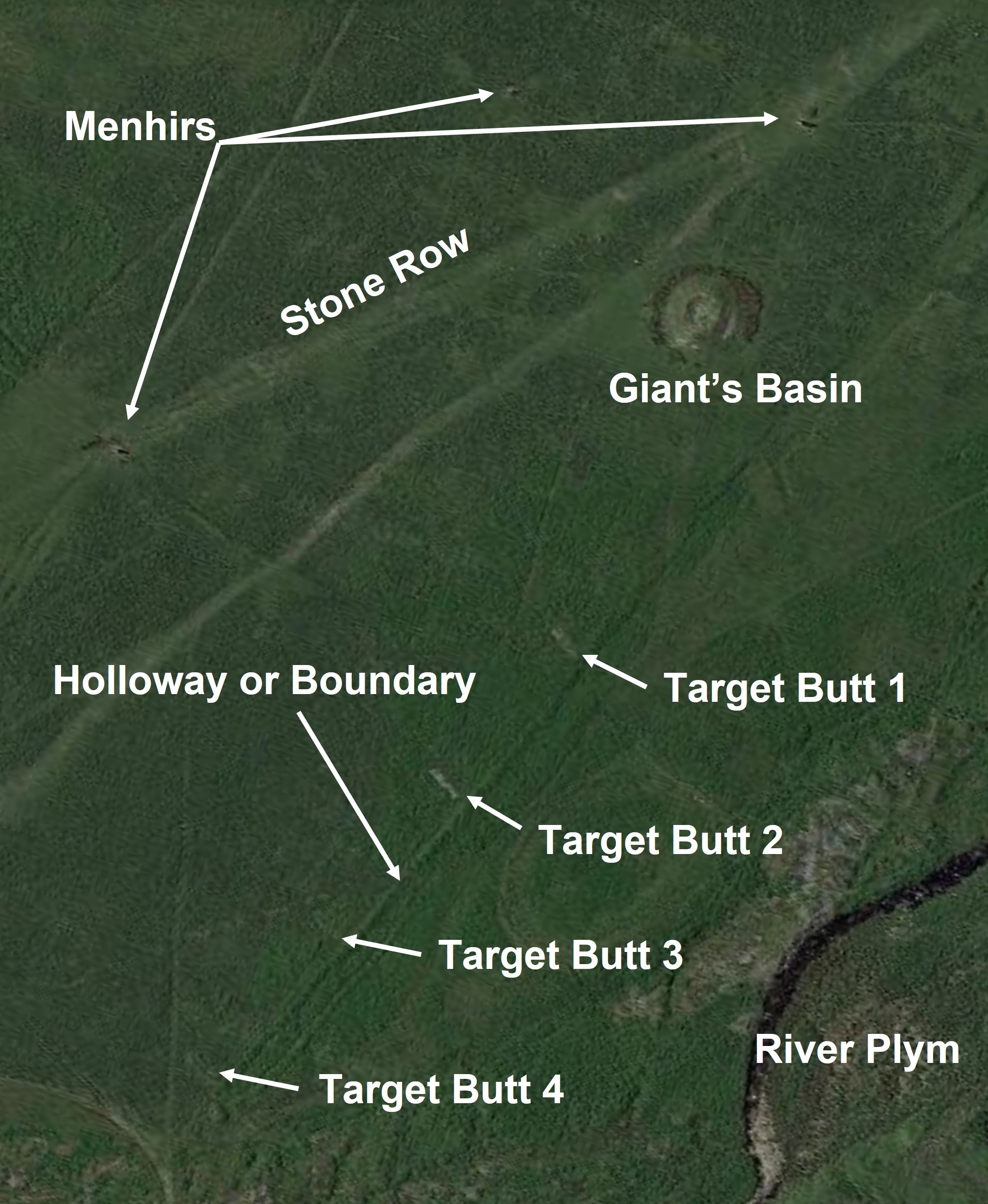
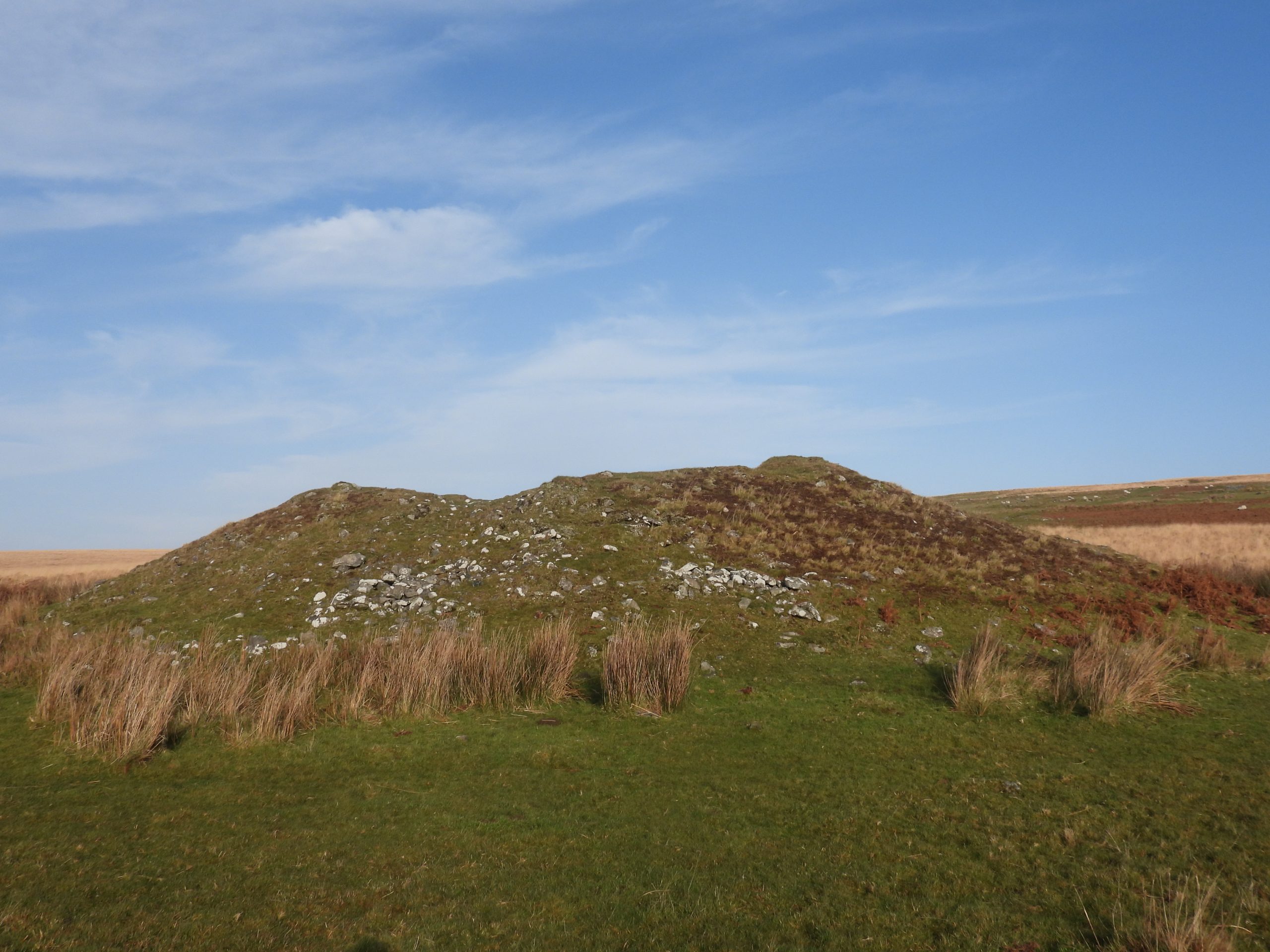
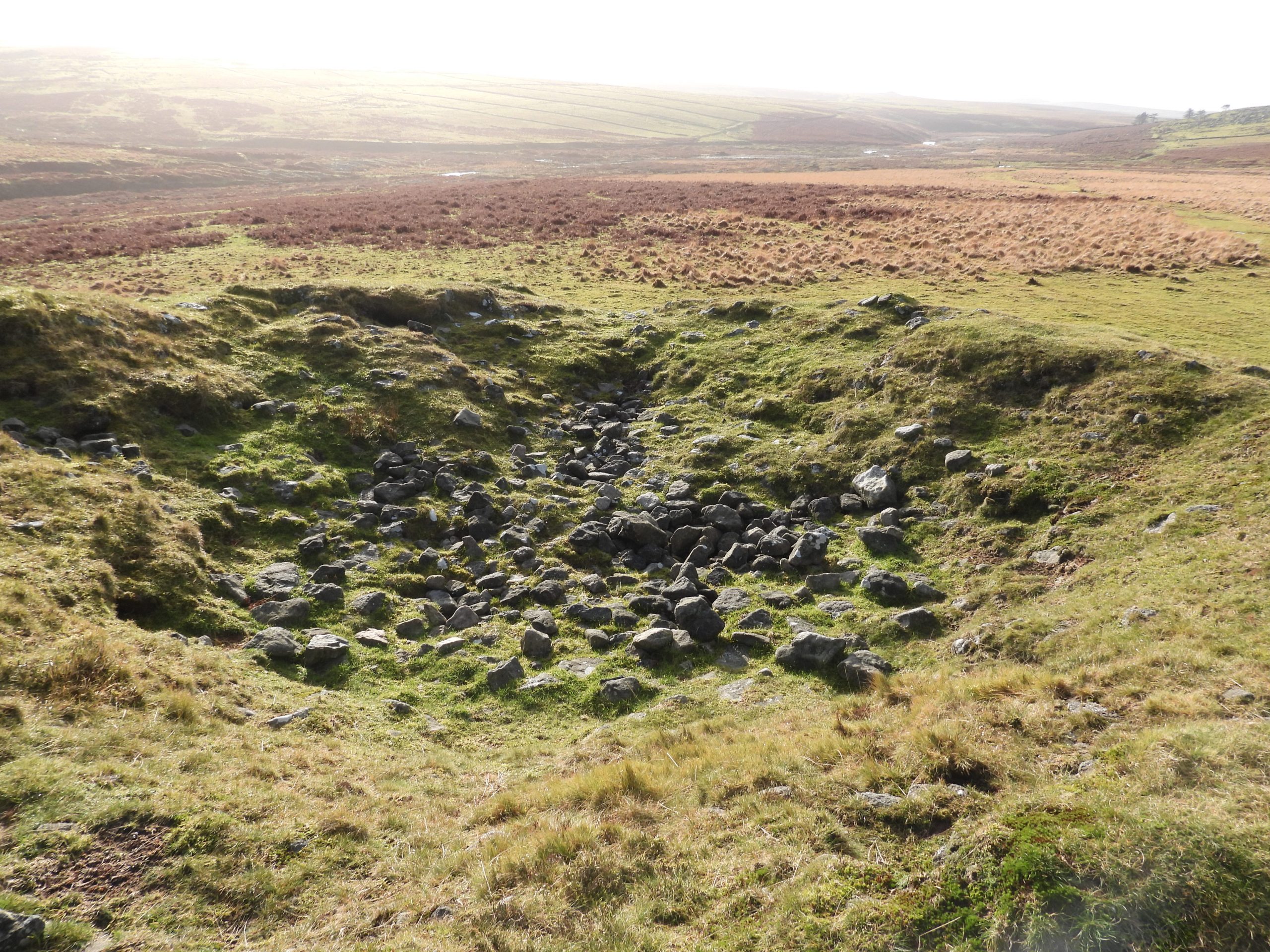
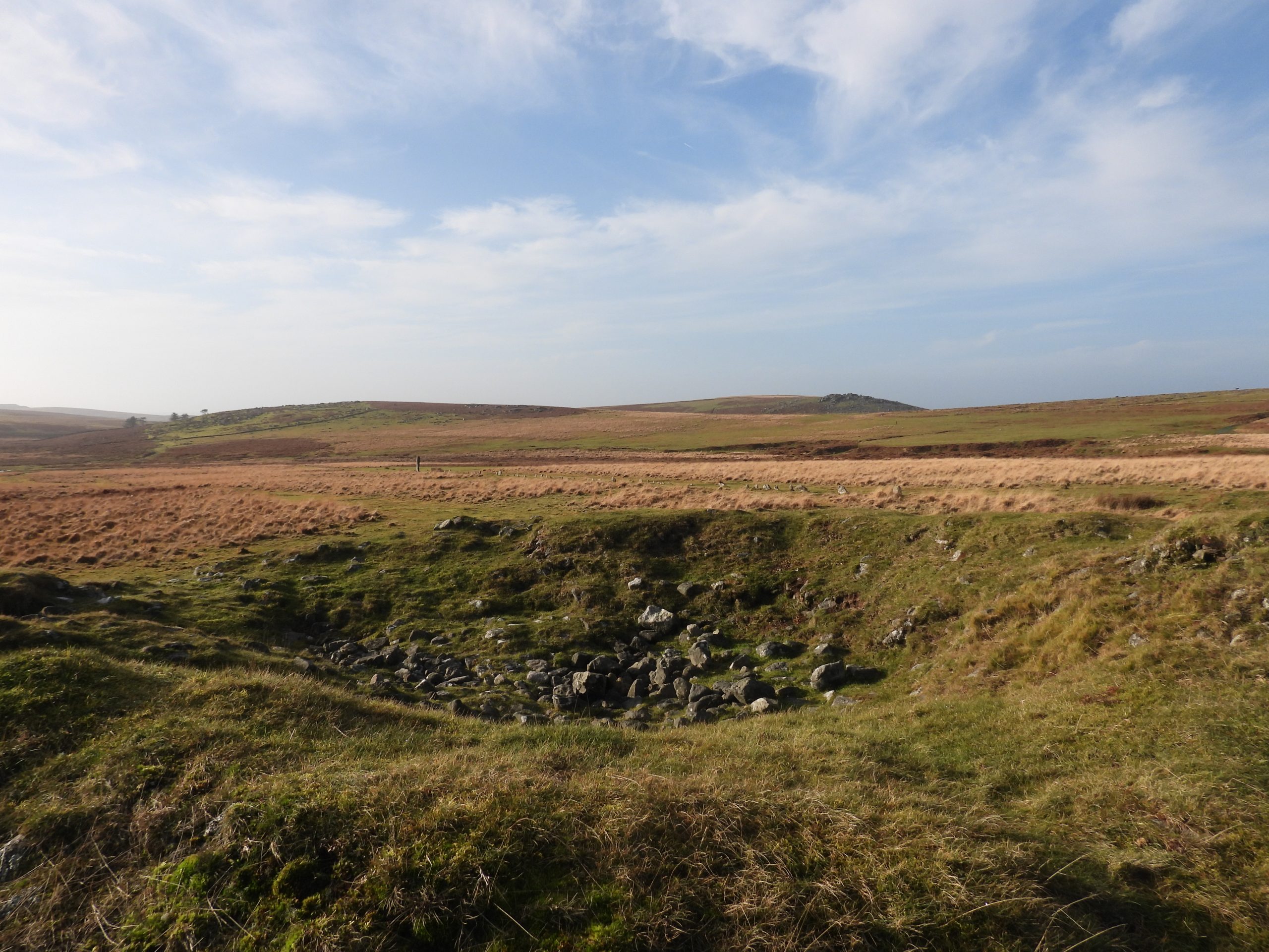
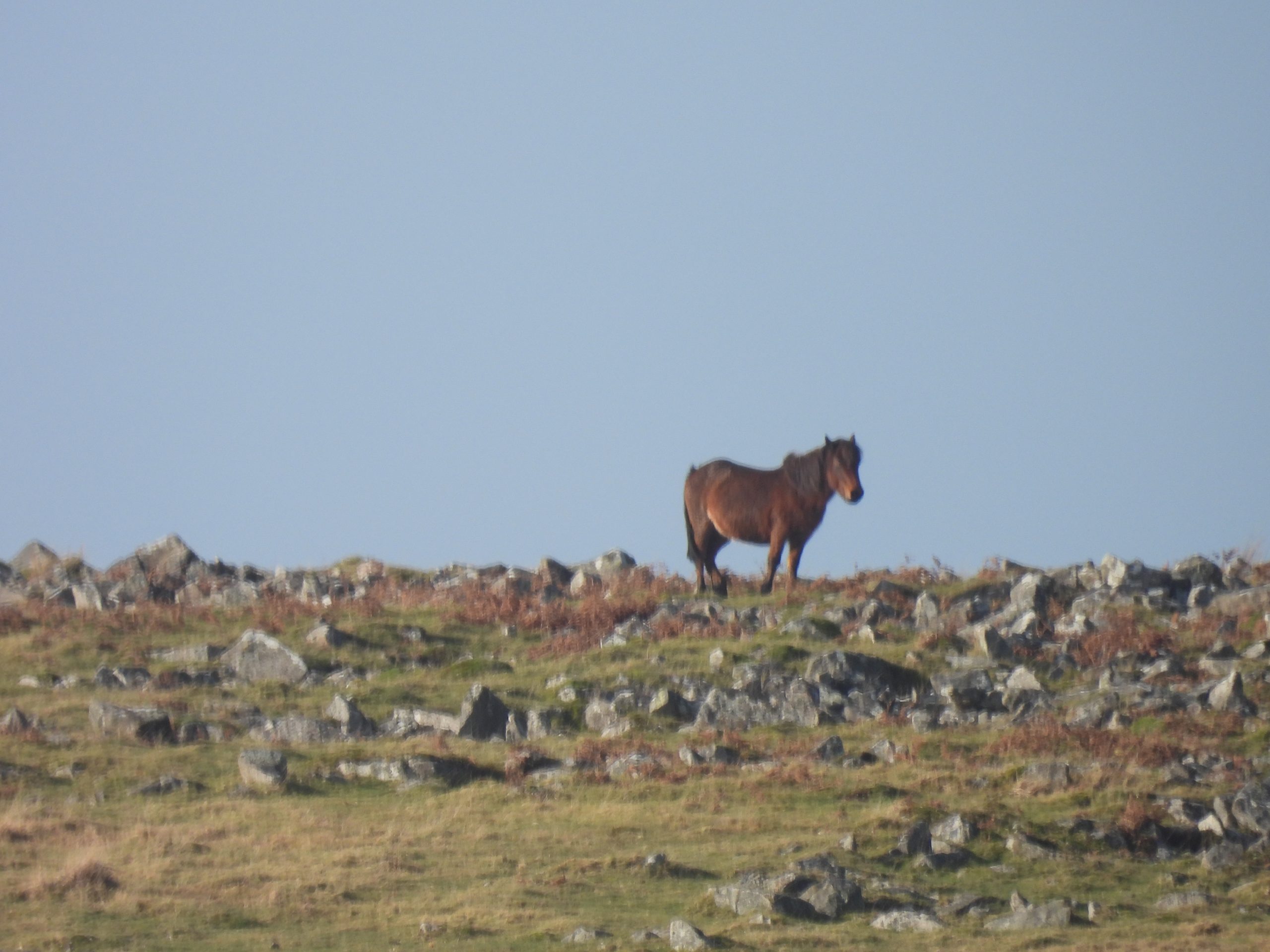
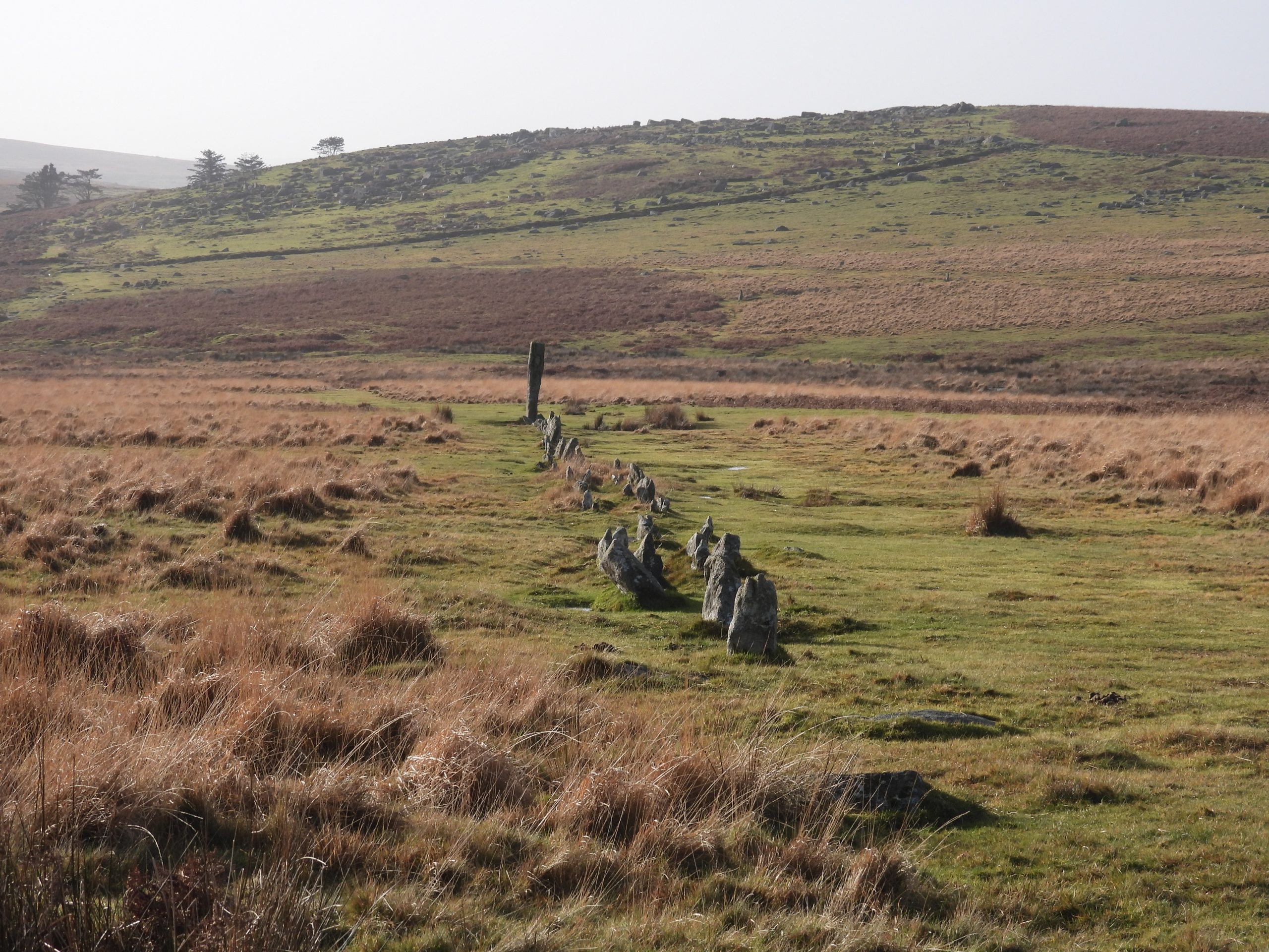
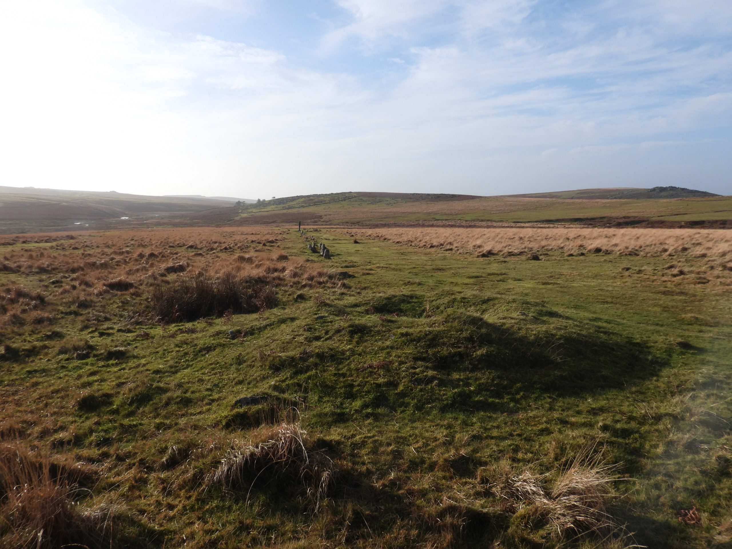
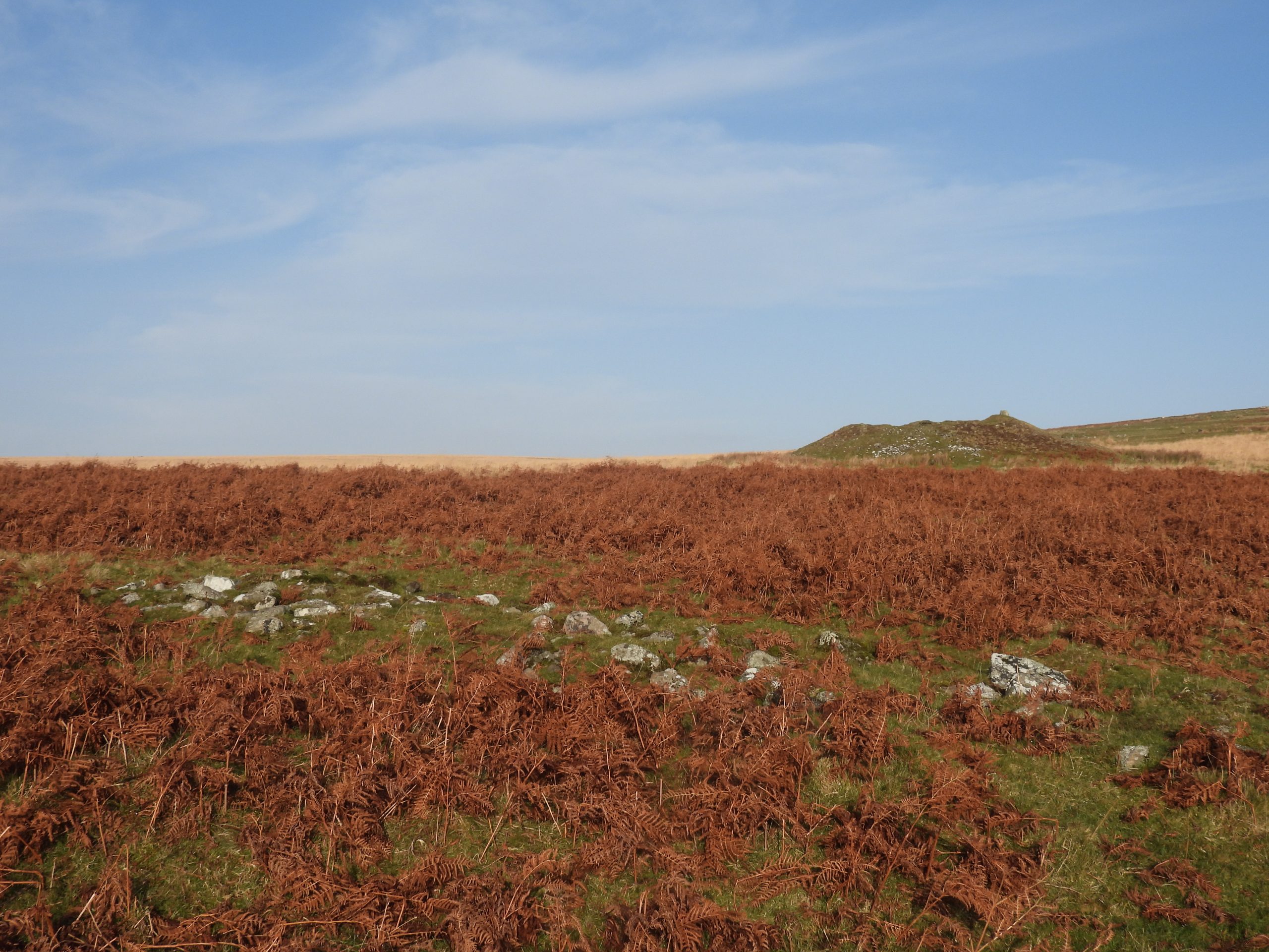
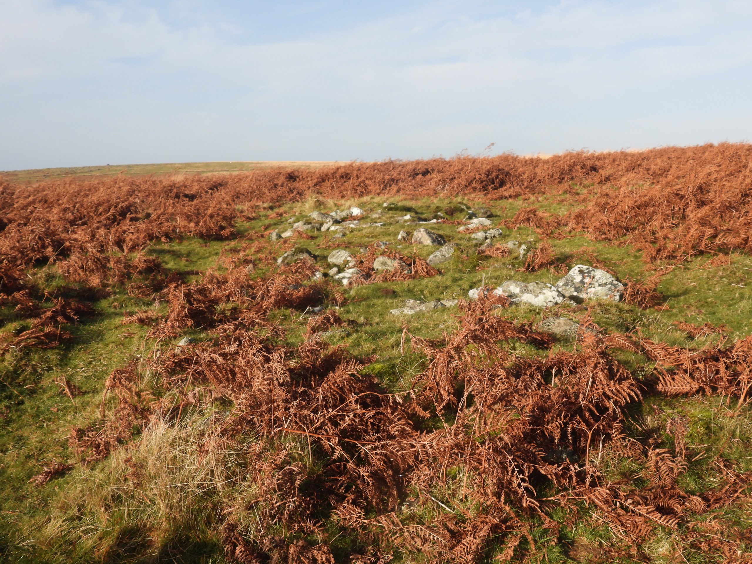
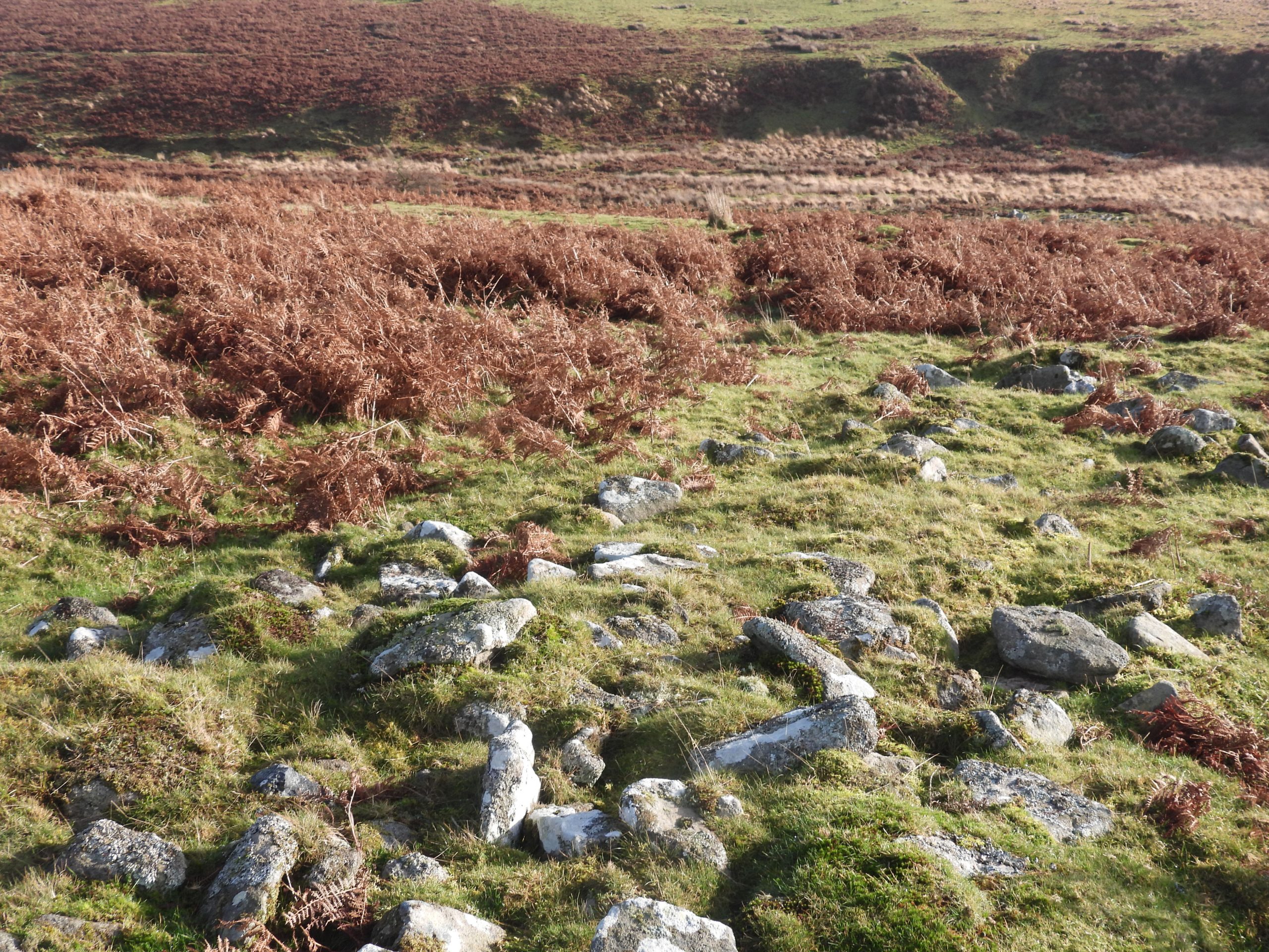
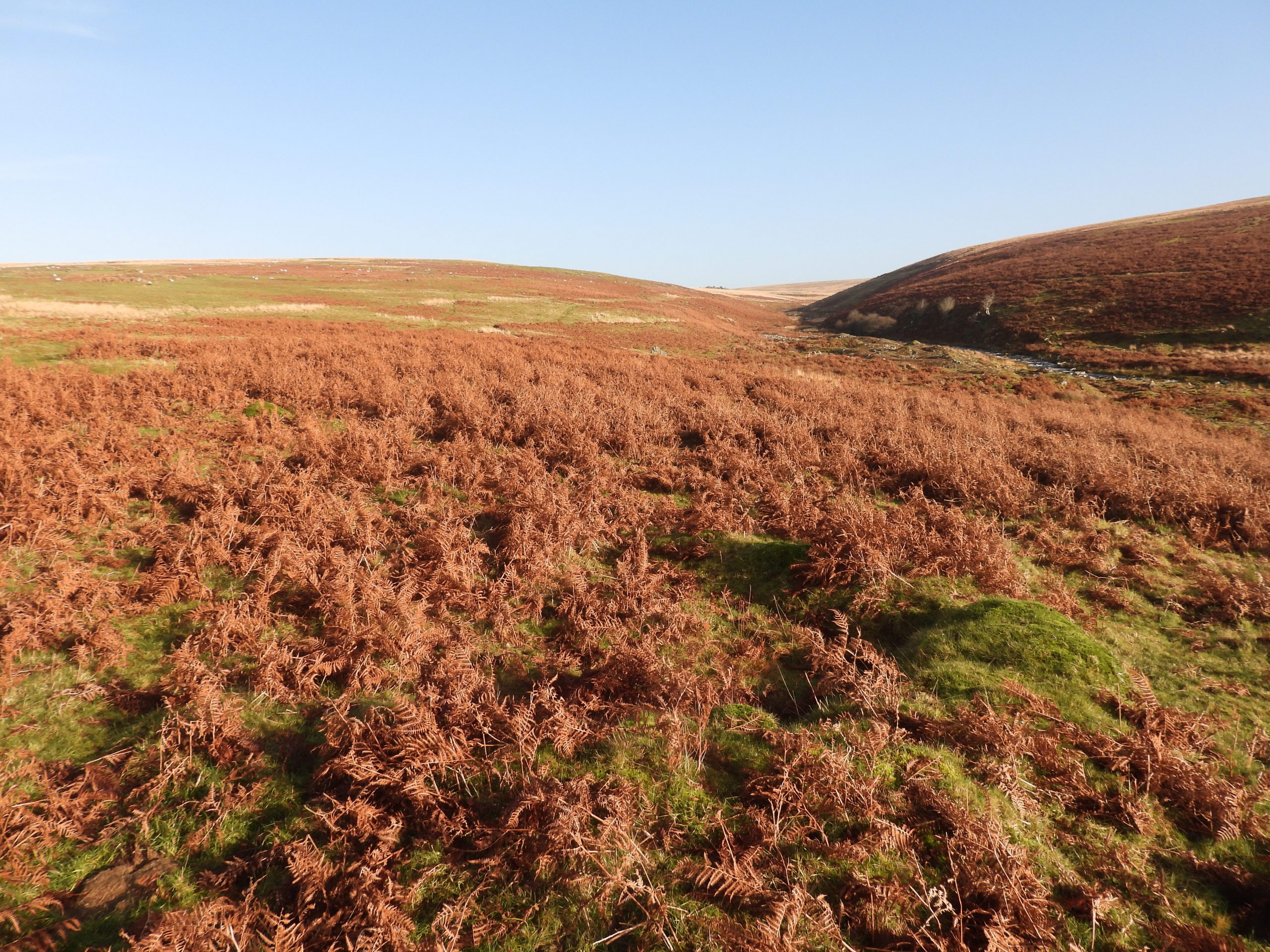
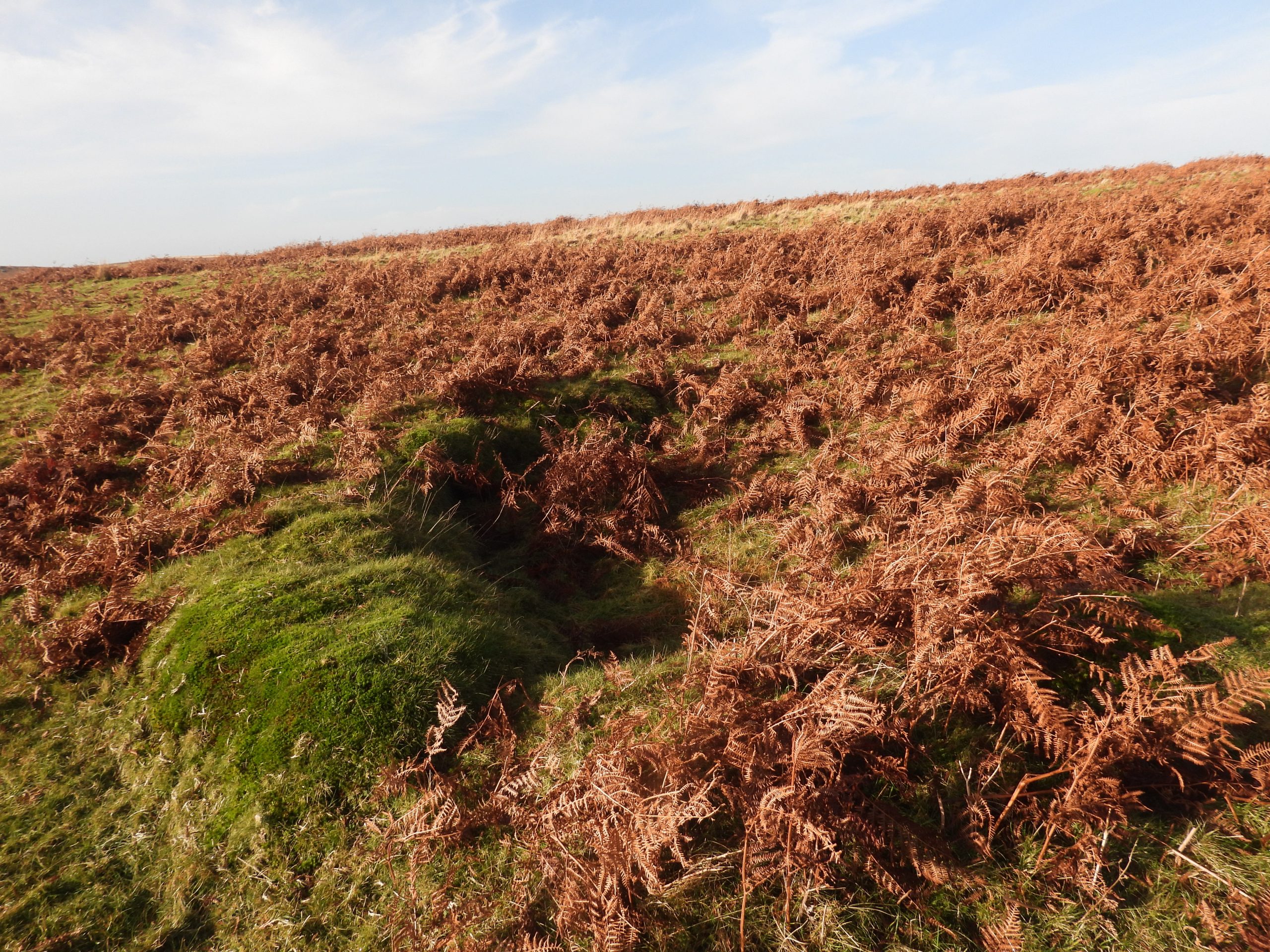
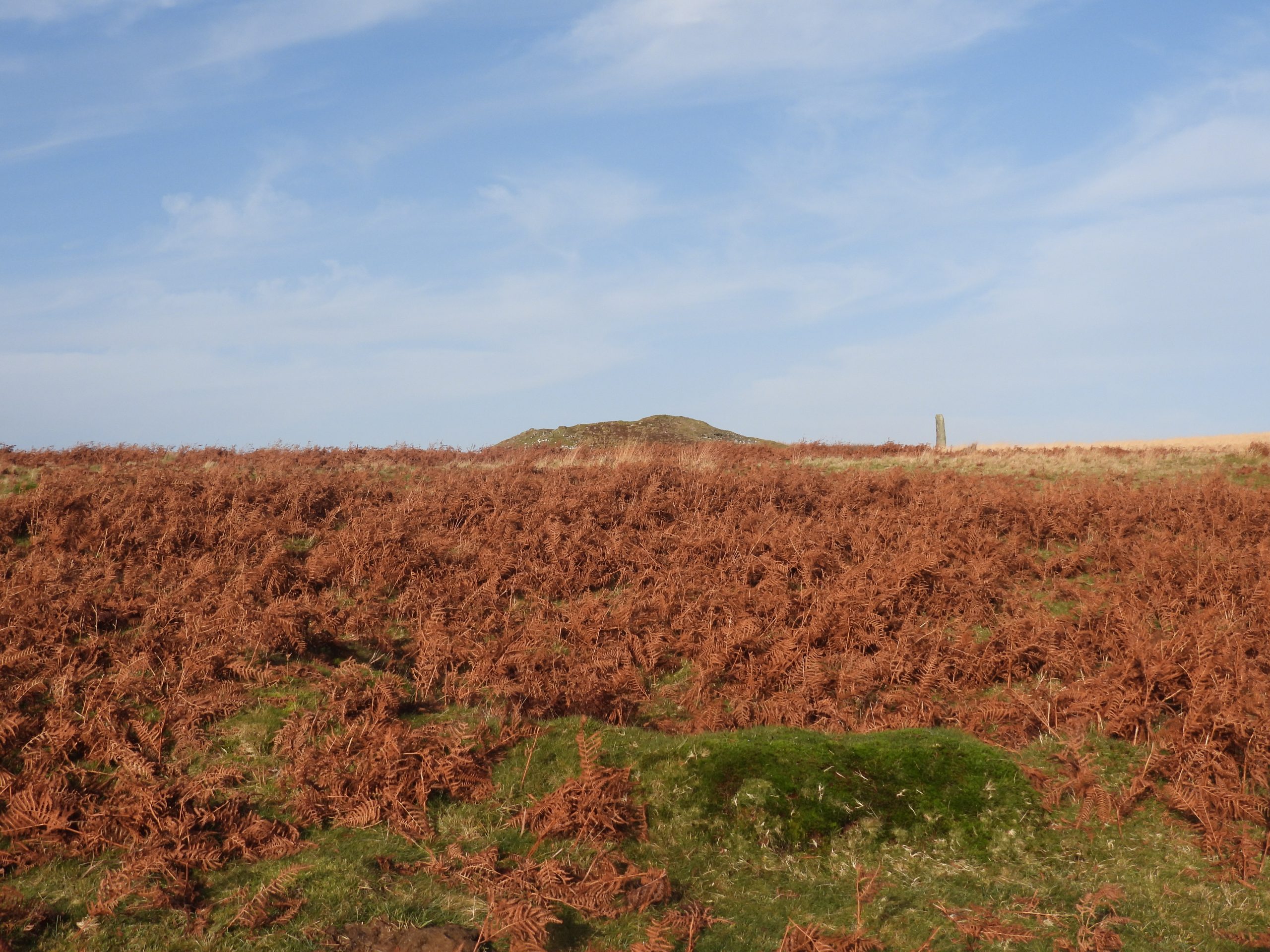
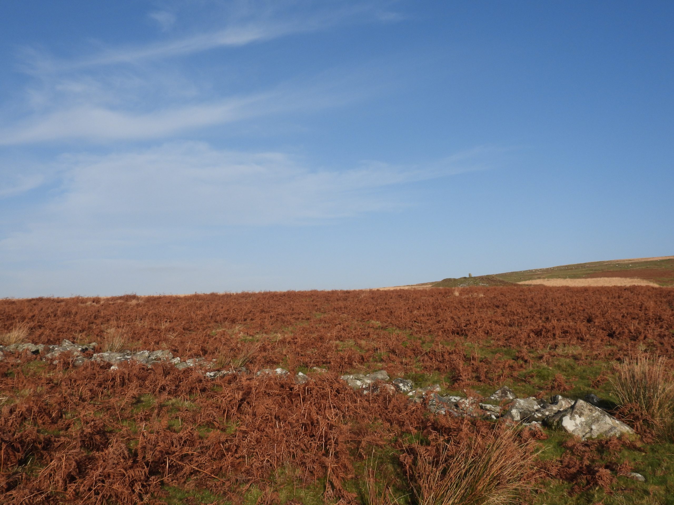
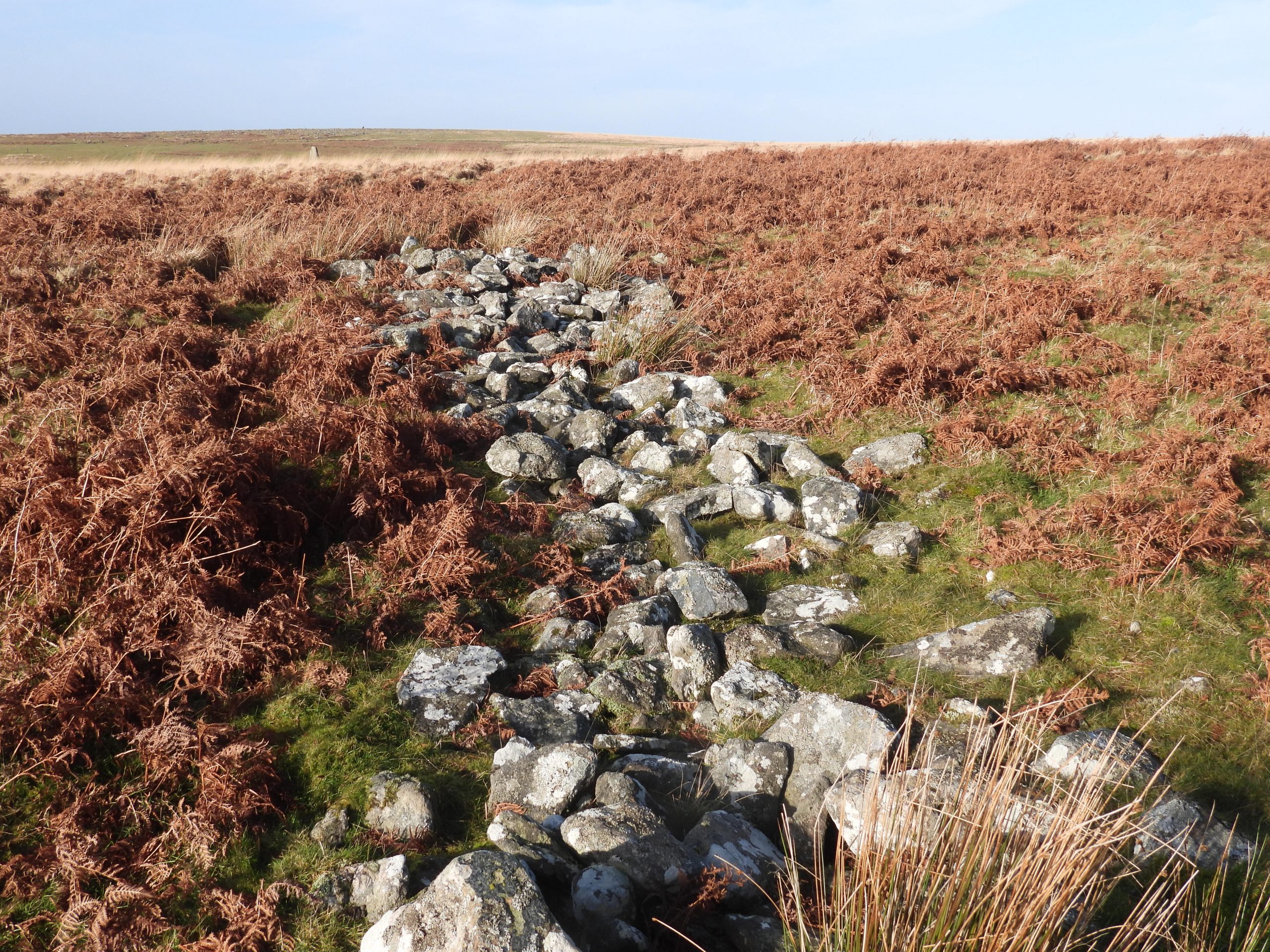
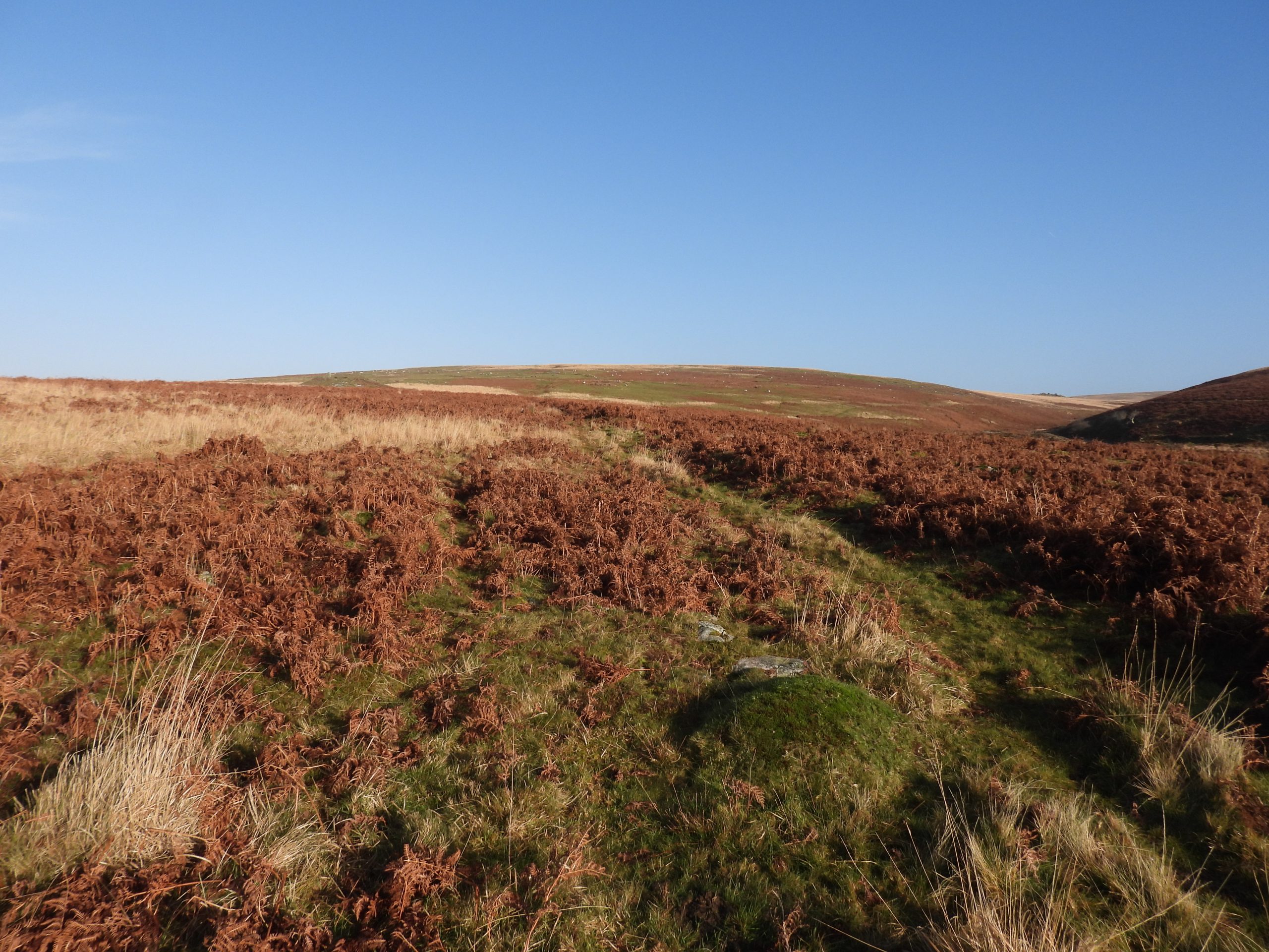
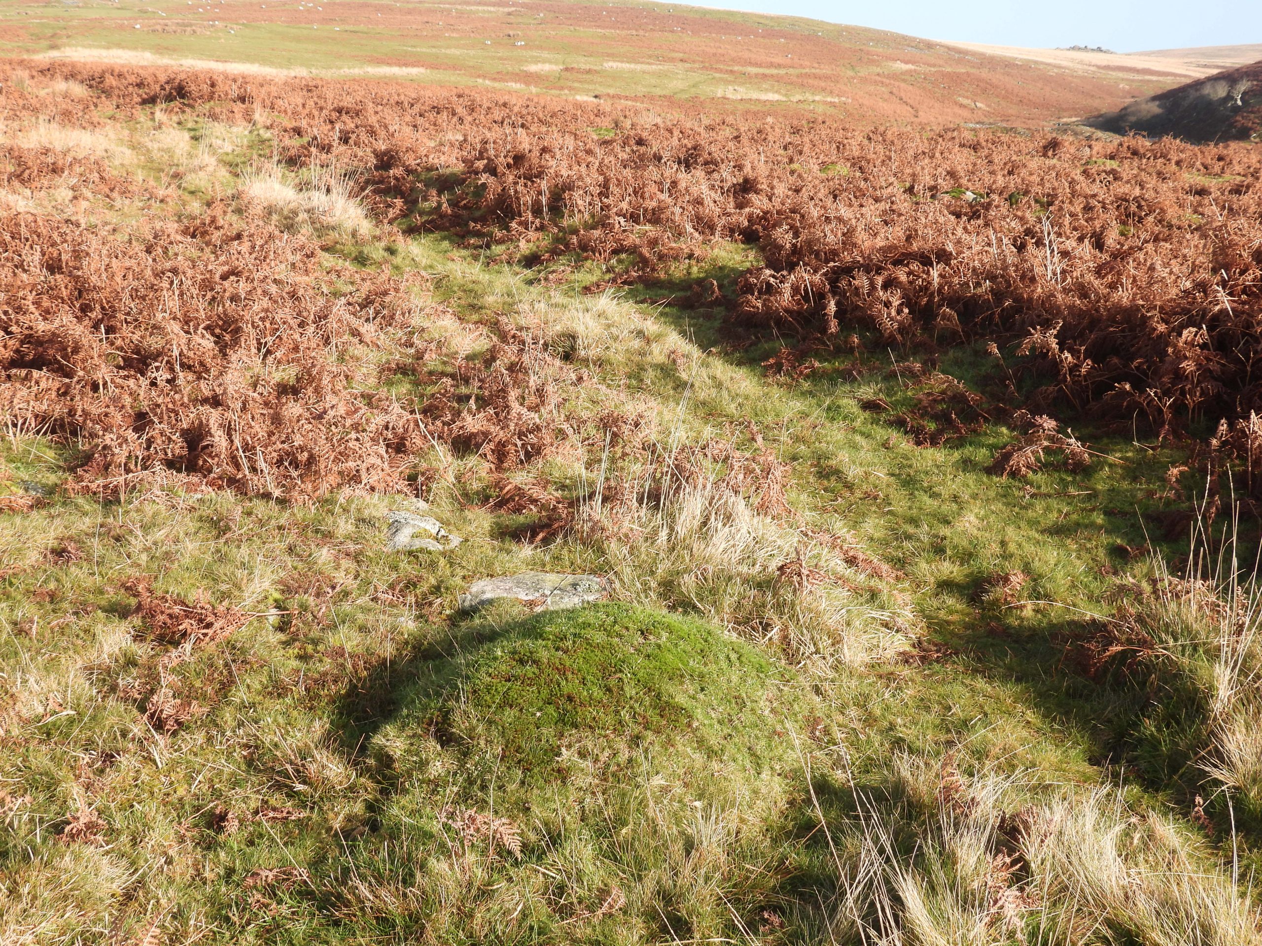
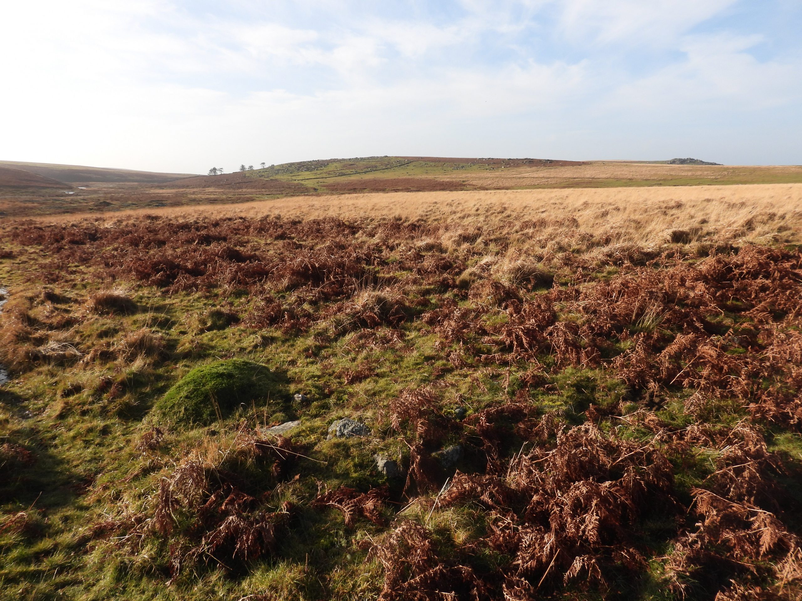
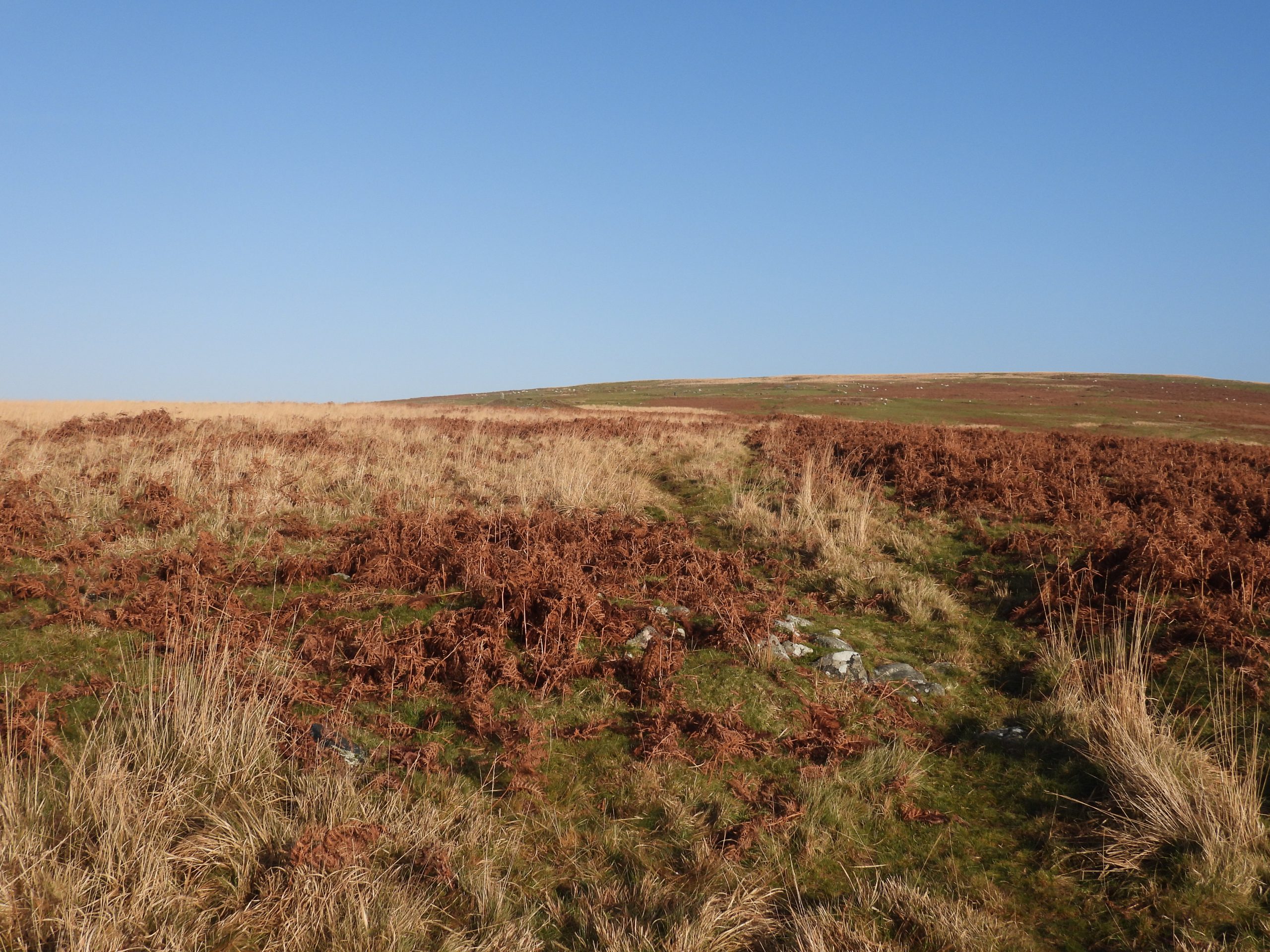
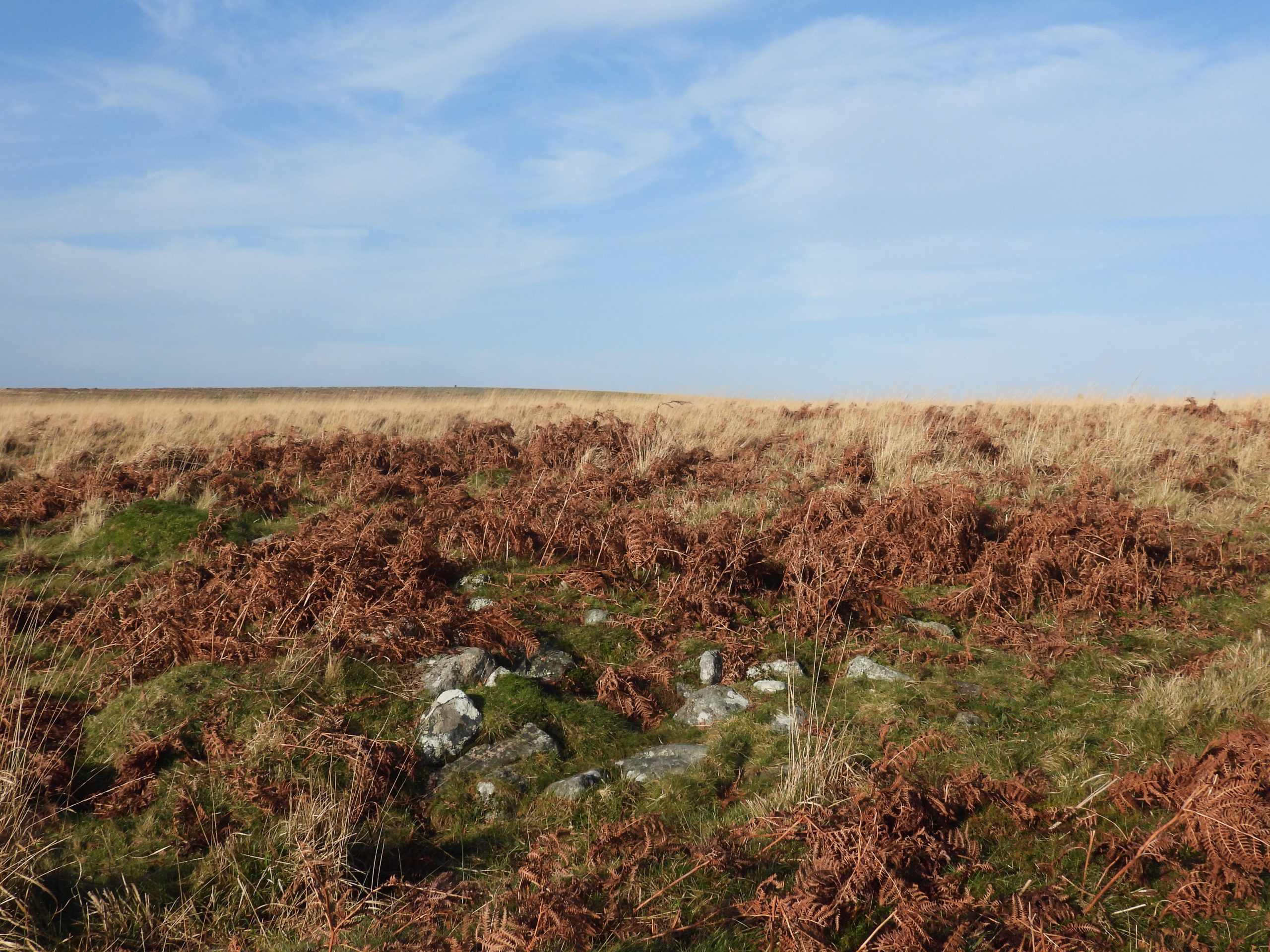
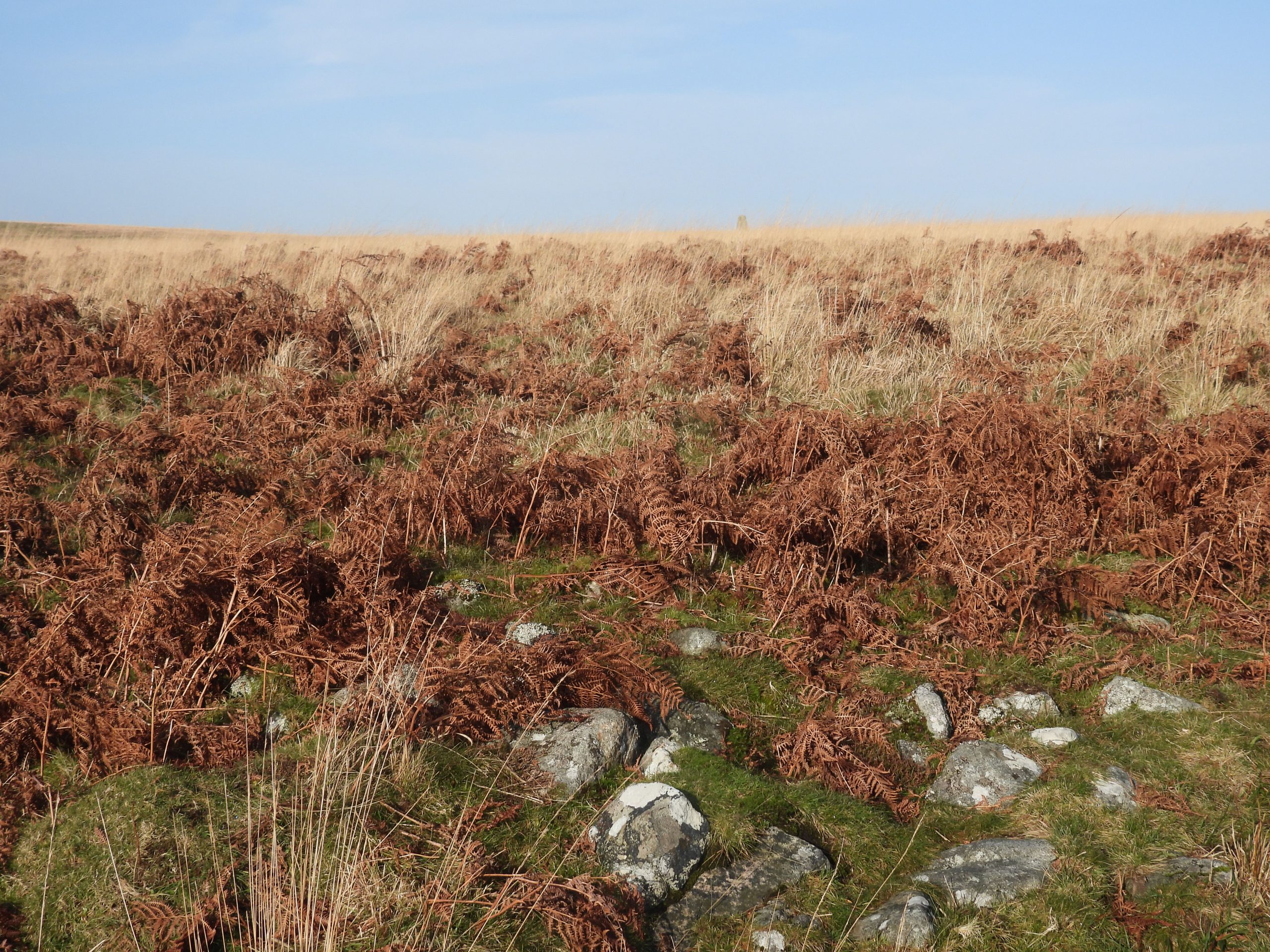
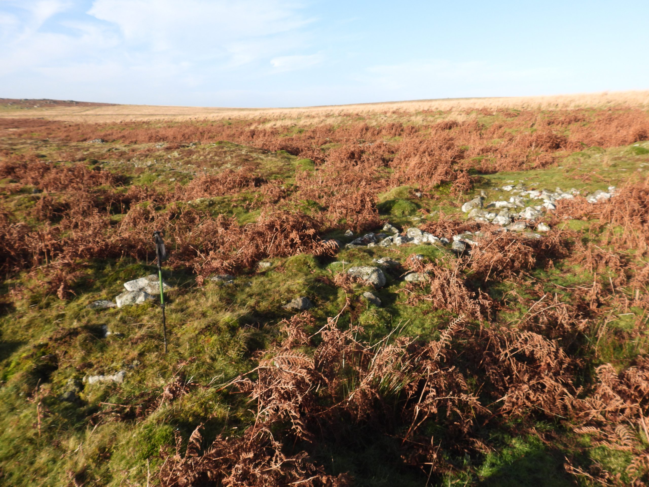
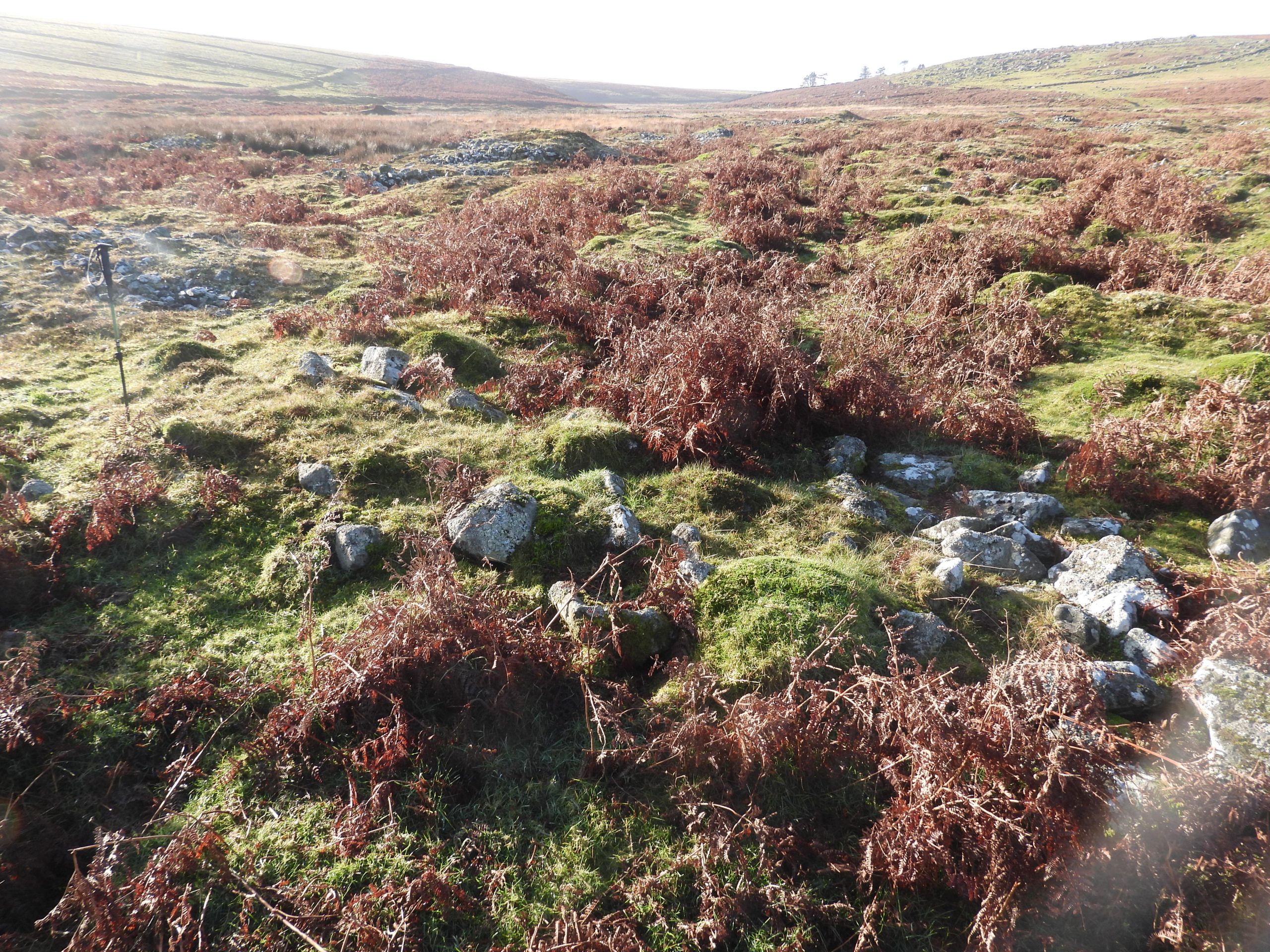
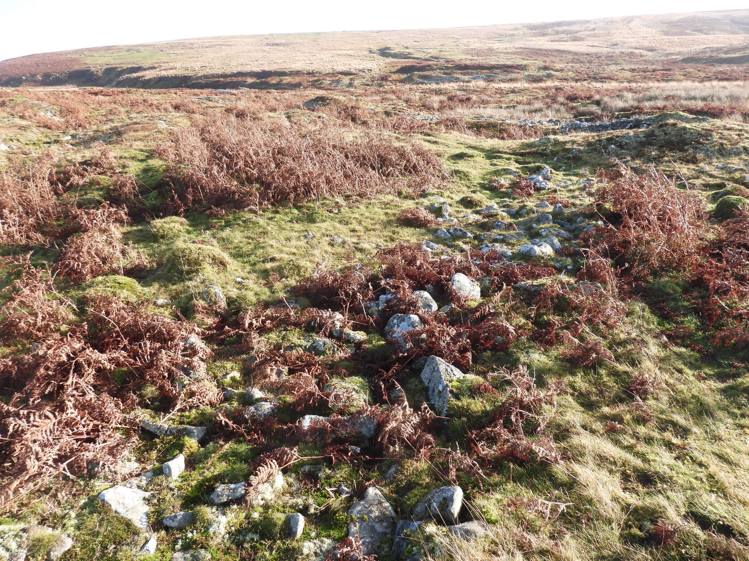
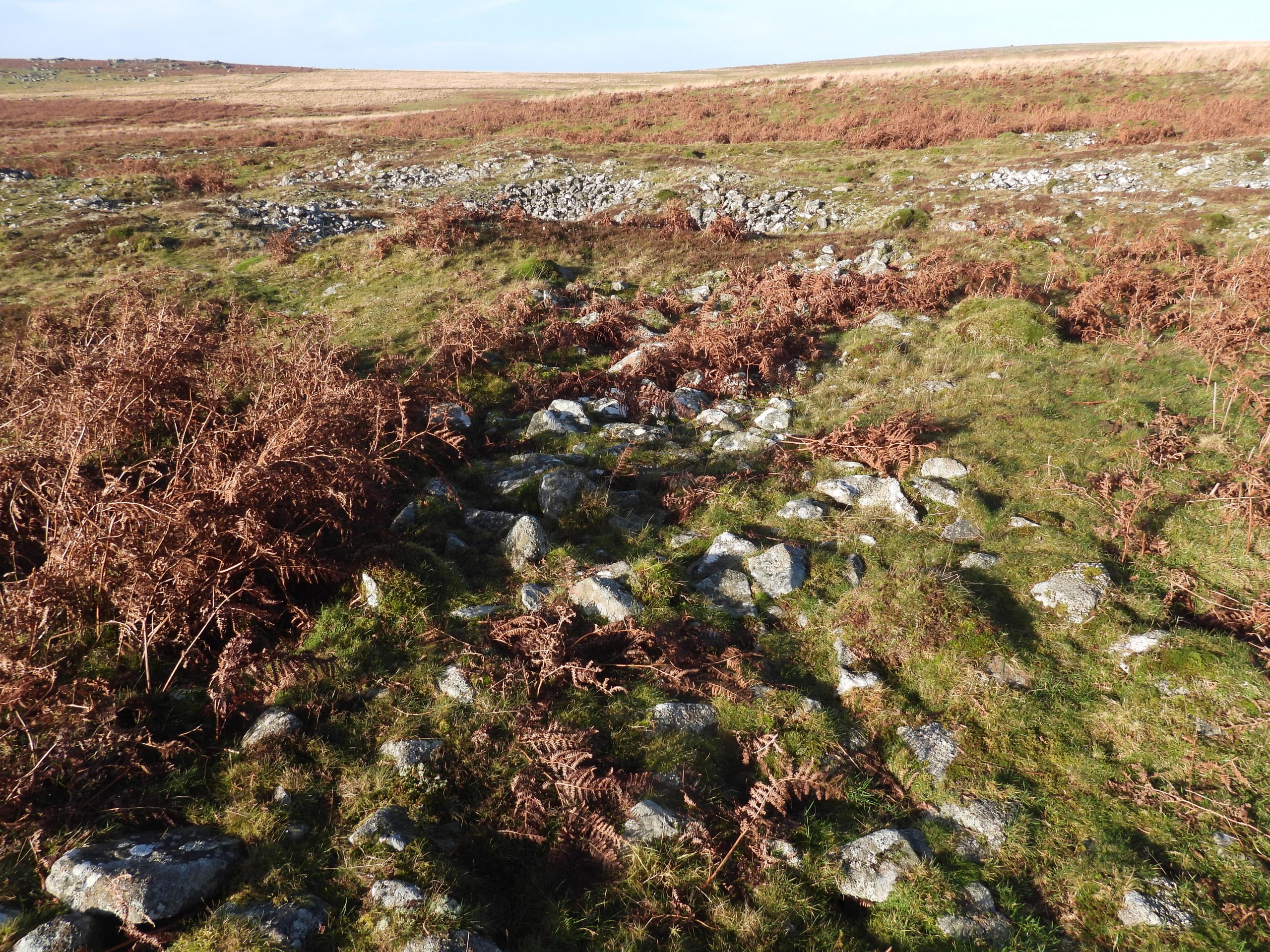
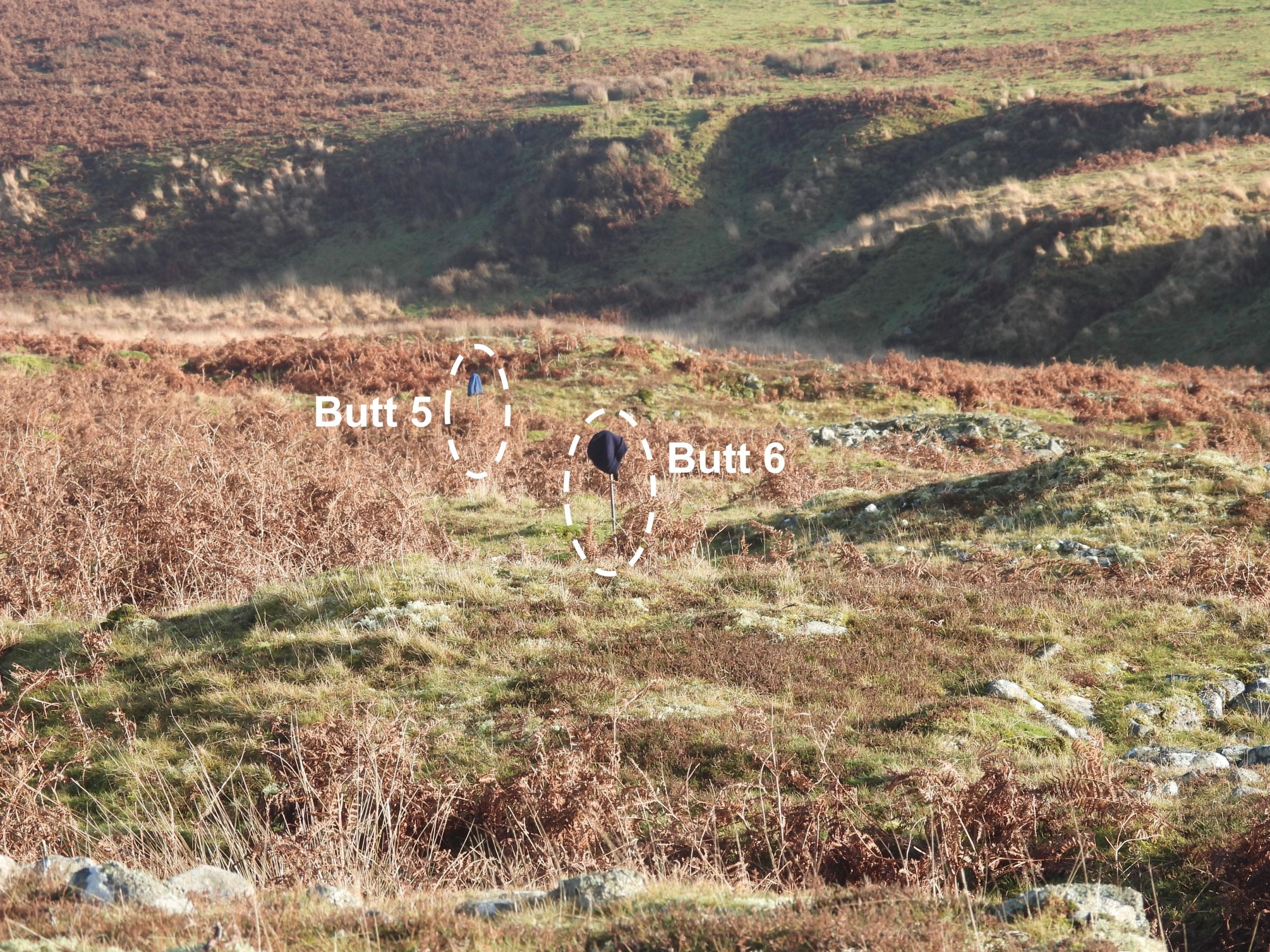
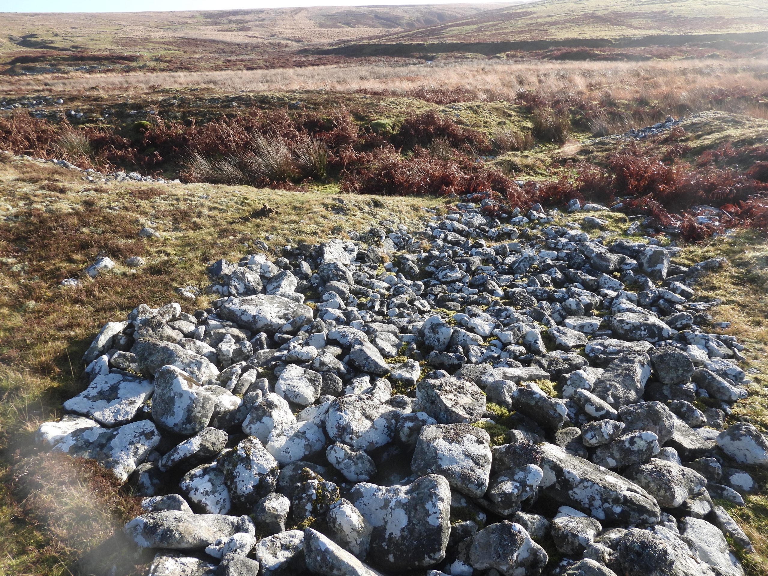
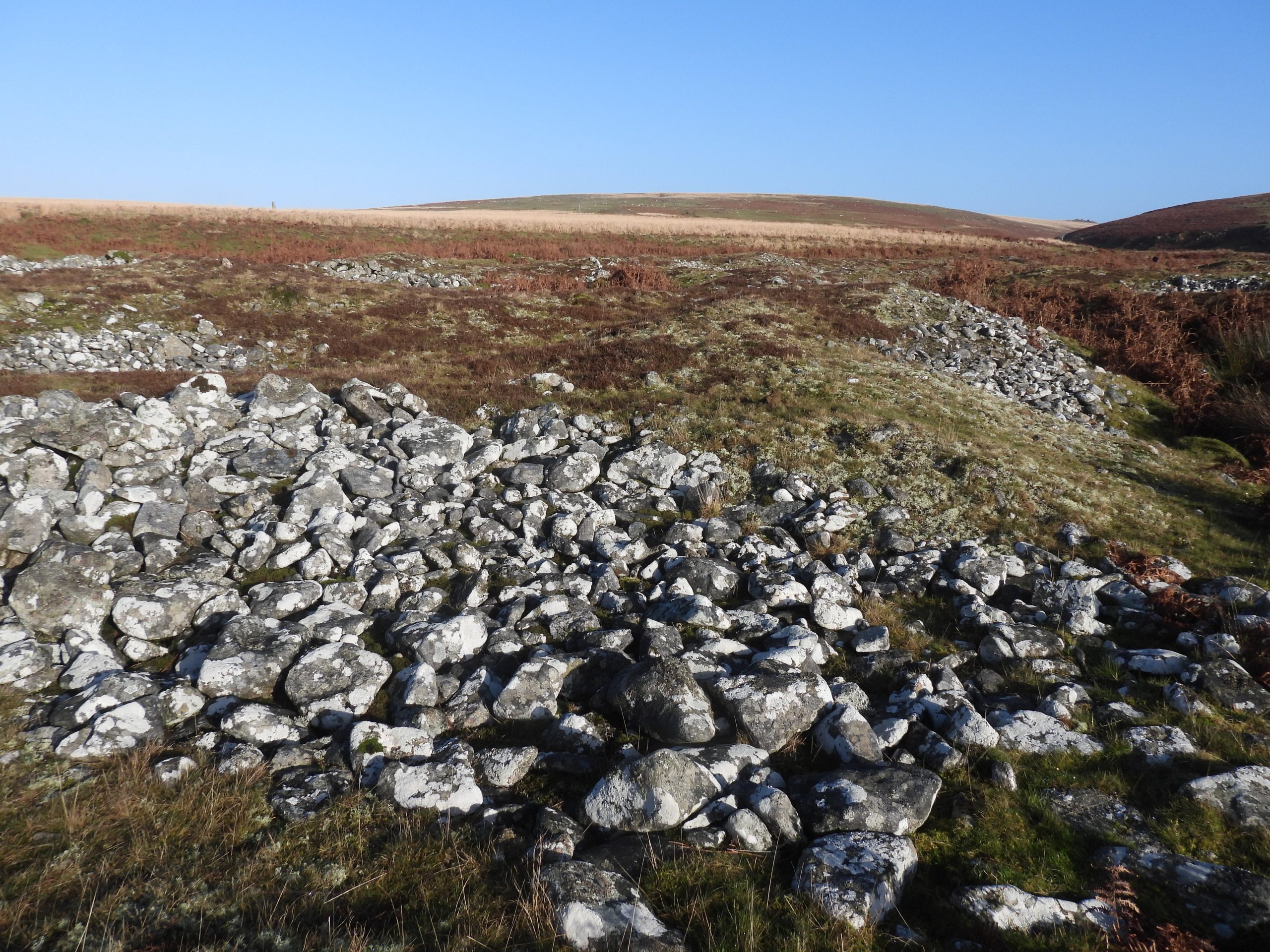
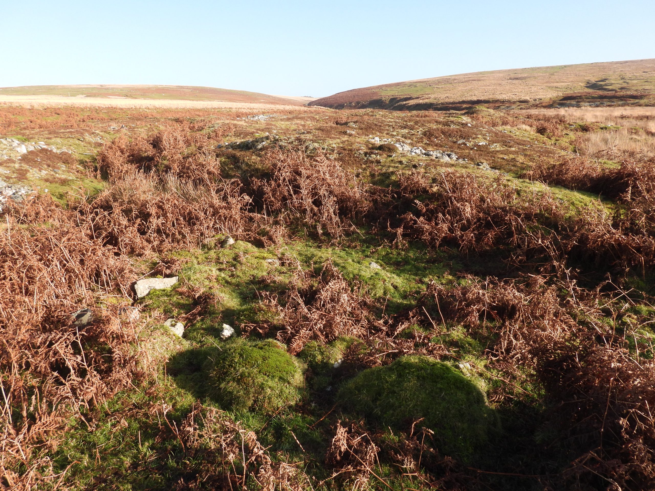
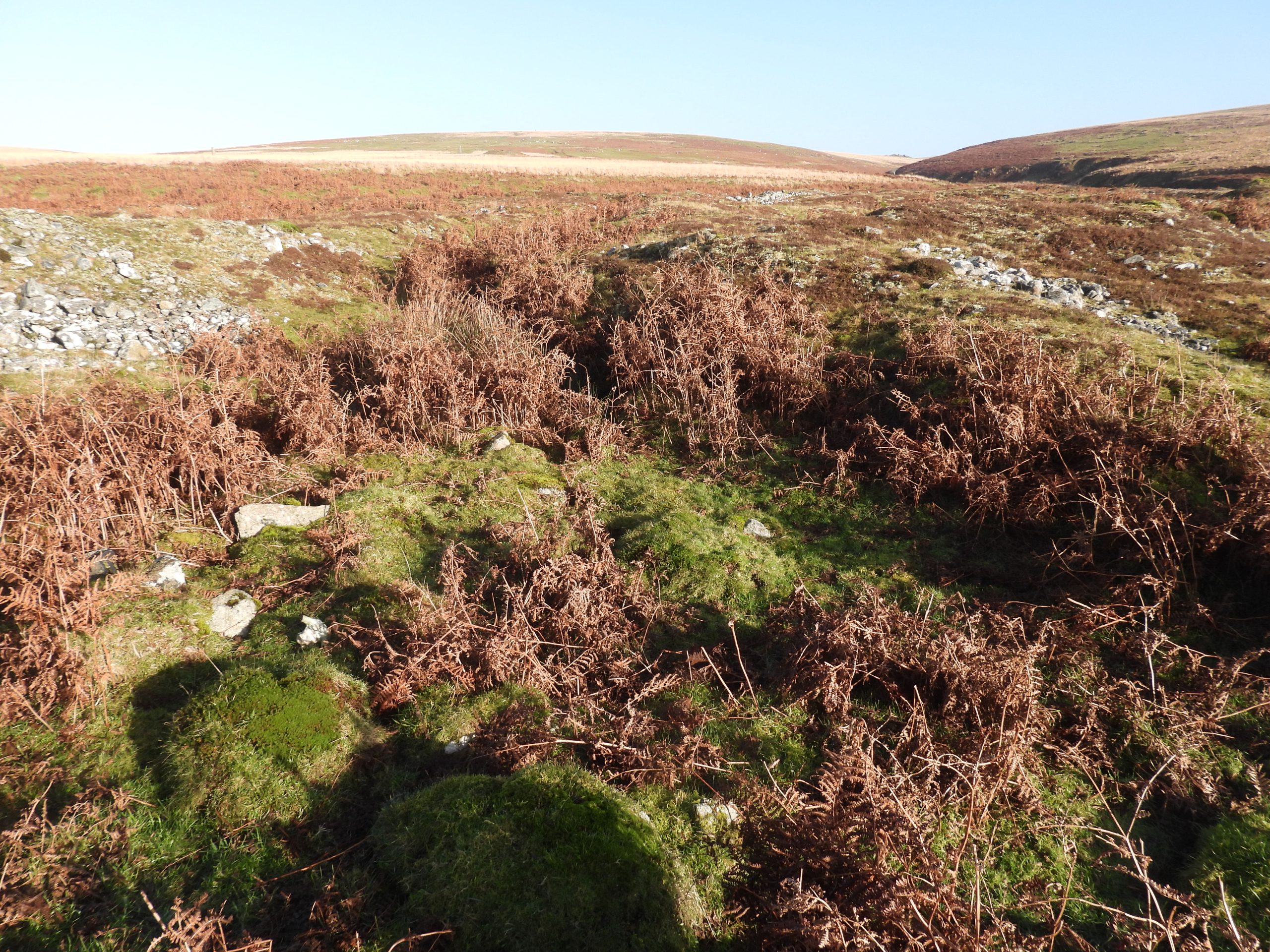
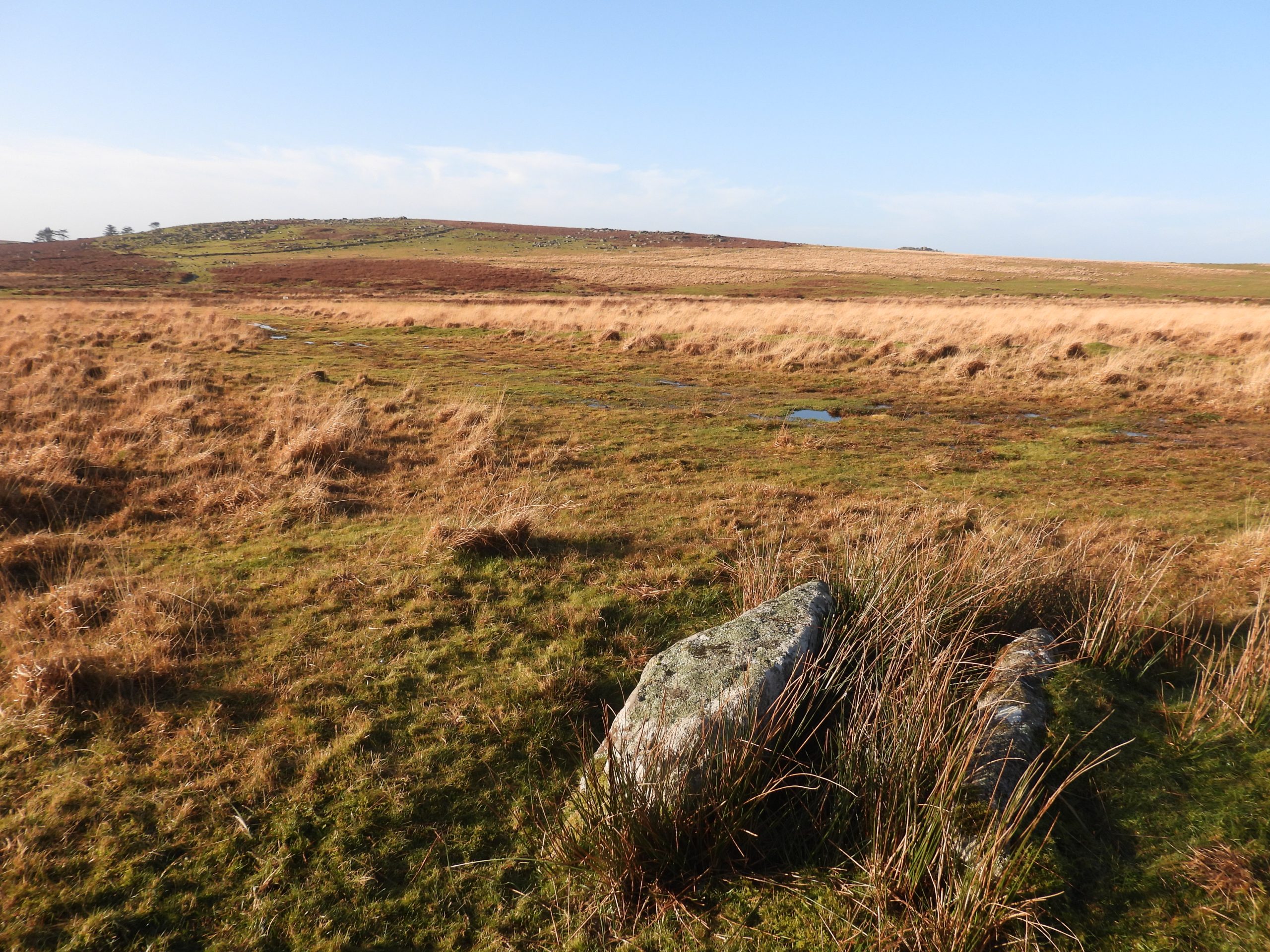
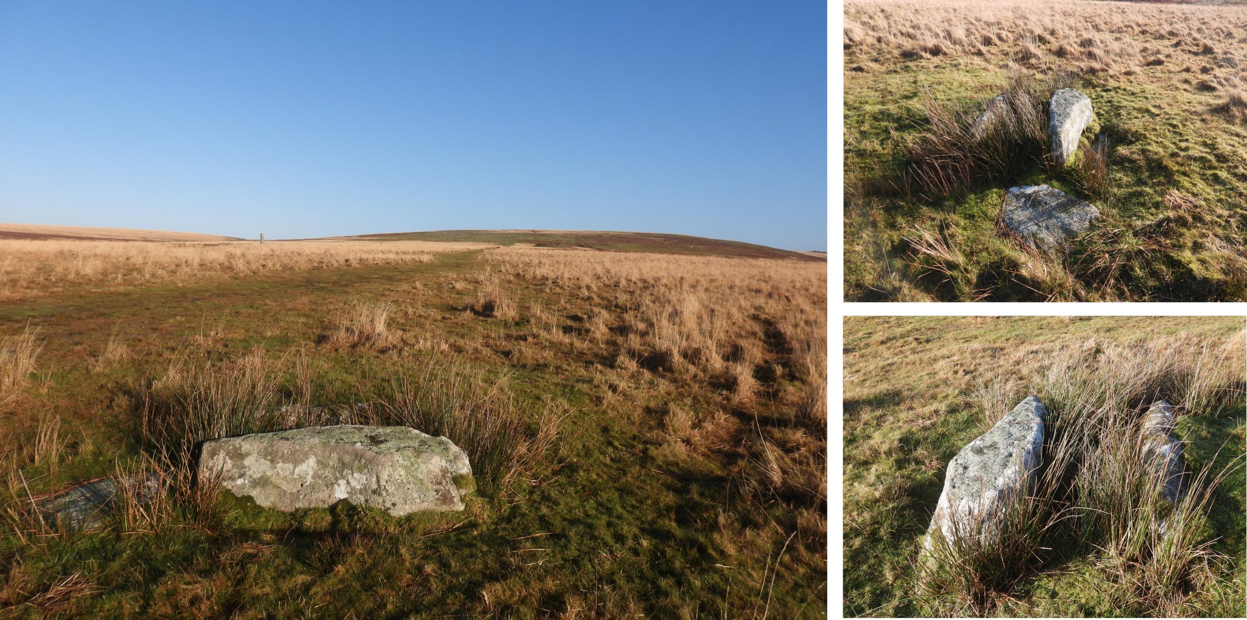
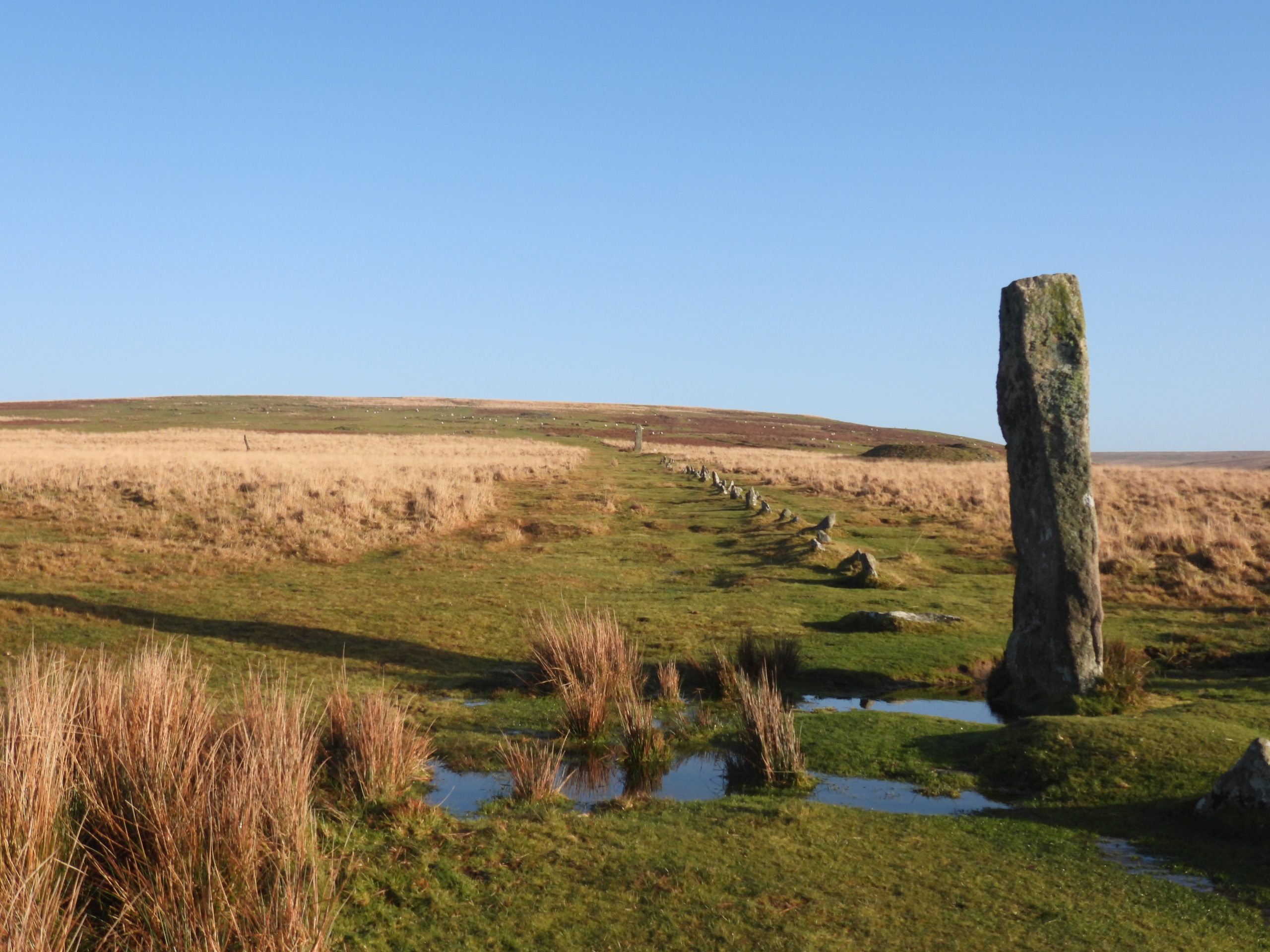
This sketch map shows the features covered in this post. There are eight (probable) target bases / butts as well as a horseshoe earthwork. Of interest is that four of the target butts are adjacent to what is a probable old holloway, with another four being constructed within the tin streamworks.Google Earth view of the area with Target Butts 1-4 being fairly discernible. That said, Target Butts 5-8 are not discernible. Fletcher, Newman and Probert in their survey record that these features (all eight) were discernible in the 1946 Aerial Photographic Survey of the area.Giant’s Basin (also known as the ‘Giant’s Grave’) is a very impressive cairn which, over the years has been heavily disturbed. It lies adjacent to the Drizzlecombe Stone Rows.Various recorders have measured Giant’s Basin as being between 2.3m and 3.5m high and having a diameter of between 22m and 25m. Whatever the exact dimensions are, it certainly is a very conspicuous feature in the landscape. The central hollow of the mound, probably represents the site of robbing or partial early excavation.Top of Giant’s Basin looking west towards Ditsworthy Warren, Eastern Tor and Gutter Tor. Zoomed in view (hand held so not ‘pin sharp’) of Pony near Whittenknowles Rocks taken from on top of Giant’s Basin.Stone Row to the south west of Giant’s Basin has single and double lines of rocks in it. R.H Worth observed in the 1940s that it is “Part of row is double, part single, probably never wholly double”. It is around 150m long if its terminating barrow / cairn is included.The stone row to the south west of Giant’s Basin (as with the other two in the area) has a terminating barrow. This row has been labelled as ‘Stone Row 1’ by at least two observers Jeremy Butler and Jack Walker . A short distance to the south of Giant’s Basin the first of the (probable) target bases / butts can be found. The structures of each of the target bases / butts (or pillow mound bases) are in the region of 10m long and 2-3m wide.Target base / butt 1 looking towards River Plym. A GR reference taken by the author was SX59188 66842A very short distance from Target base / butt 1 is a horseshoe shaped earth mound (raised green area to the right side of the photograph). It can be found at SX59232 66844The horseshoe earthwork has aninternal diameter of around 3m. Recorded by Fletcher, Newman and Probert as likely to related to military activity in this area and may have utilised a former tin pit.The horseshoe earthwork in relation to Giant’s Basin and the largest menhir (aka ‘The Bone’) at DrizzlecombeTarget base / butt 2 with Giant’s Basin and the larger menhir in the background. The first four Target bases / butts (1-4) all lie adjacent to linear feature (possible holloway or boundary) which is not considered to be connected with the Drizzlecombe stone rows. In Jennifer Robertson’s post graduate thesis ‘The Archaeology of the Upper Plym Valley. Edinburgh University’ the features are labelled 1014-1017 (equivalently labelled 4, 3, 2 and 1 in this post). On pages 266 and 285 of the thesis it is suggested that these features are unfinished pillow mounds. Target base / butt 2 (or possible unfinished pillow mound 1016) can be found at SX59168 66795. The distance between the features is around 50 long (ish) strides.Another 50 long (ish) strides down the gentle slope of the ‘Holloway’ is Target base / butt 3 (or unfinished pillow mound 1015) at SX59150 66745. The ‘Holloway’ is very clear in this photograph. In the Jennifer Robertson thesis, she states that although she has labelled these features as unfinished pillow mounds (thus dating them from probable 18th / 19th centuries) they do not exhibit characteristics of other pillow mounds on Dartmoor. These features do not have a drainage ditch or lay across the contour of the hill. She also observed that these features lie a long distance from other pillow mounds in the area.Target base / butt 3 (or unfinished pillow mound 1015) looking towards Ditsworthy Warren, Eastern Tor and Gutter Tor. What is intriguing about these features is how uniform the distances are between them.Another 50 long (ish) strides down the gentle slope of the ‘Holloway’ is Target base / butt 4 (or unfinished pillow mound 1014) at SX59127 66697Fletcher, Newman and Probertin 1999 recorded that these features haveno traces of internal constructional features such as large slabs or tunnels or have upcast spoil or side ditches.Target base / butt 4 (or unfinished pillow mound 1014) is the last of these features adjacent to the ‘holloway’. Fletcher, Newman and Probert state that these features are “doubtfully the stony bases for earthen pillow mounds but they probably have a military function possibly as target bases”. Given the uniformity in their construction, distance apart plus Jennifer Robertson’s own consideration that they do not exhibit characteristics of other pillow mounds on Dartmoor, the author tends to agree that they are of military origin.Intriguingly, the Target bases / butts continue and change direction after the ‘hollowway’ terminates at its south west end (close to base / butt 4) and are constructed within the tin streamworks by the Plym. Target base / butt 5 is at SX59103 66650. Does this fifth structure negate the suggestion that these were probable unfinished pillow mounds insofar as they are constructed within tin streamworks, which would have been highly unusual. The target bases / butts 5-8 are not considered in the Jennifer Robertson thesis.The Target bases / butts are more difficult to discern amongst the tin streamworks. That said, number 5 once found shows characteristics of the previous 4. The author and walking companion left a walking pole at this location as a guide to find the final three features.Using the 50 long(ish) strides ‘rule’ from the previous one, Target base / butt 6 can be found at SX59053 66628. The valley of the Shavercombe Brook can be seen in the background of the photograph.The ground disturbance of the Target bases / butts in the tin streamworks is not the same as the the more historical disturbances. The author and walking companion left another walking pole at this location as a guide to find the final two features.Looking south-east across the streamworks towards butts 5 and 6, where the walking poles (and woolly hats) were left. Another 50 long(ish) strides………Target base / butt 7 looks like a part of the tin streaming, but does look subtly different from the older ground disturbances in the area.The Target base / butt 7 was recorded at SX59016 66603, which is 50 strides from butt 6 and as recorded in the Dartmoor HERThe final Target base / butt (8) was the most difficult to discern as it is overgrown. However, using the 50 long(ish) stride rule, lining up butts 5,6 and 7 plus referring to the Dartmoor HER. The feature of Target base / butt was found at SX58975 66586General view across the streamworks looking east up the Plym valley. Without others research (and of course the 1946 Aerial Photographic Survey), the last four Target bases / butts would just blend in with the historic ground disturbances.A short distance to the north of the final Target base /butt is a cist which comprises of two side-stones, each approx 1.5 m by 0.3 m.This cist is located at SX59029 66719. The stones enclose a rectangular hole and traces of a cairn around 5.0m in diameter can (just about) be seen. There is a displaced possible cover-stone nearby.Having visited all the Target bases / butts and the cist, the next port of call is the south west end of stone row 1. The menhir is around 3m high and at the Winter Solstice aligns with and casts shadows across the stones in the row. This phenomena occurs at around 1550.One final feature (which the author will cover in another post), is this rather inconspicuous stone. This upright slab measures 0.7 m high and 0.9 m wide. It is mentioned in ‘Worth’s Dartmoor’ as being significant insofar as its relationship to the other stone rows in Drizzlecome. When a line is drawn between it and the northern most of three barrows up the slope, it possibly suggests that it was intended to construct a stone row between this standing stone and the barrow as then this “4th row” would run parallel with the existing three! Figure 73 in ‘Worth’s Dartmoor’ illustrates this. This upright ‘blocking stone’ can be found at SX58993 66933.