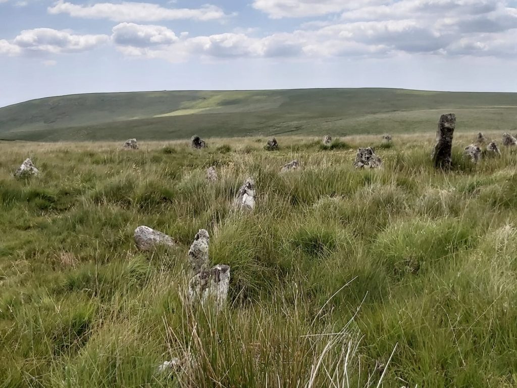
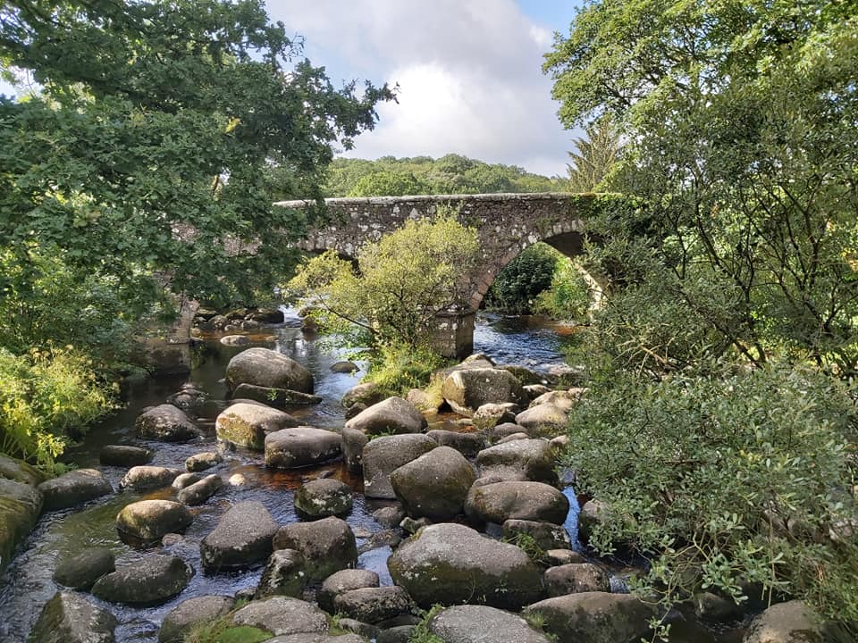
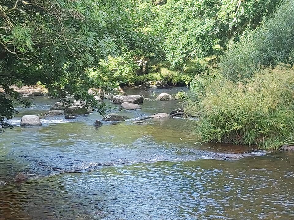
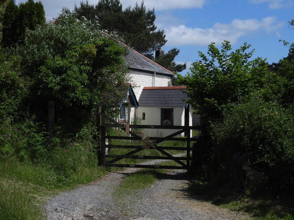
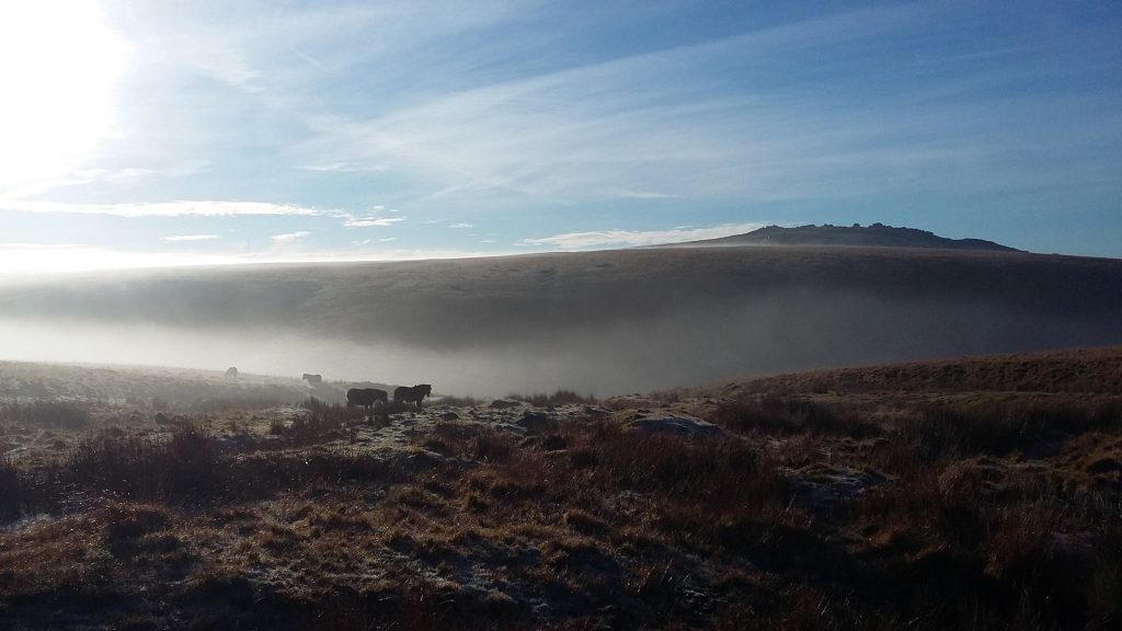
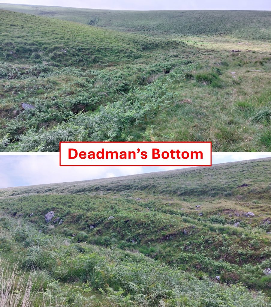
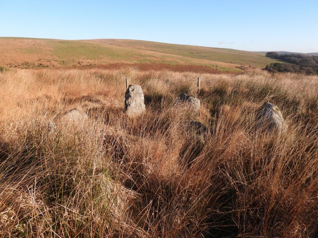
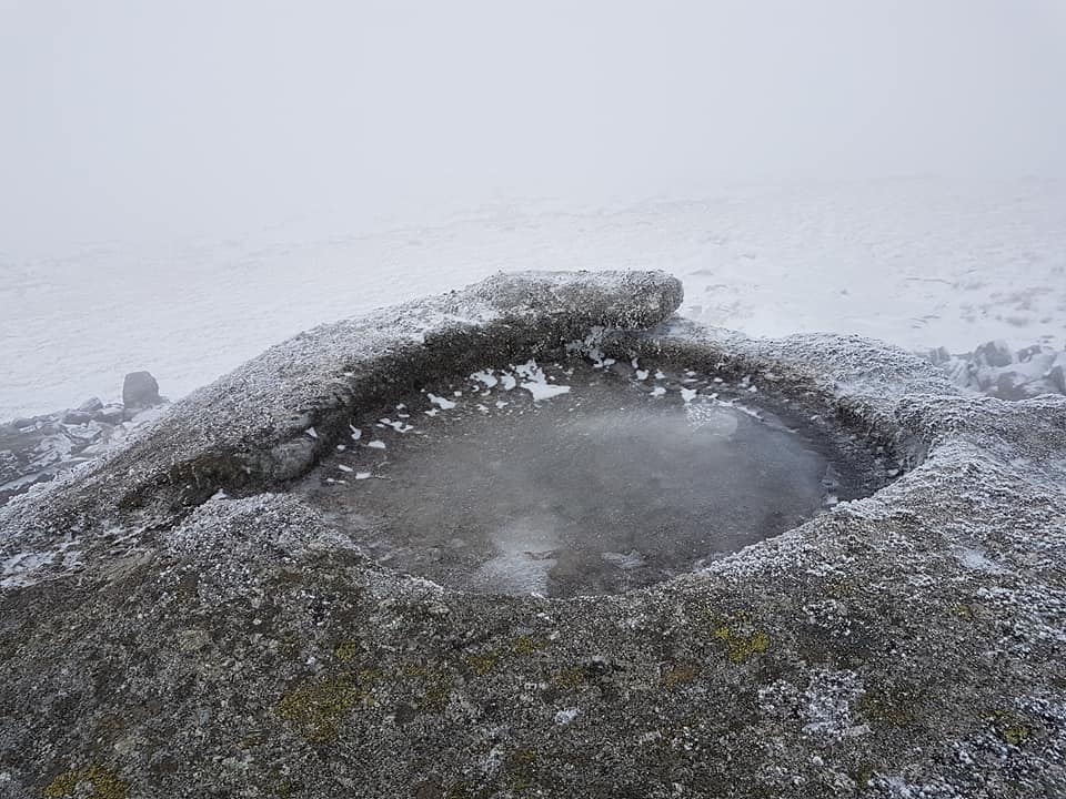
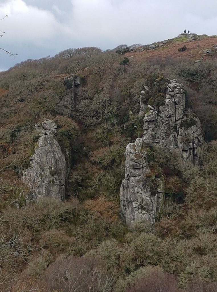
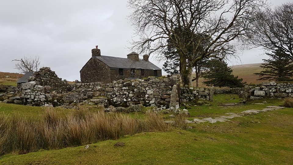
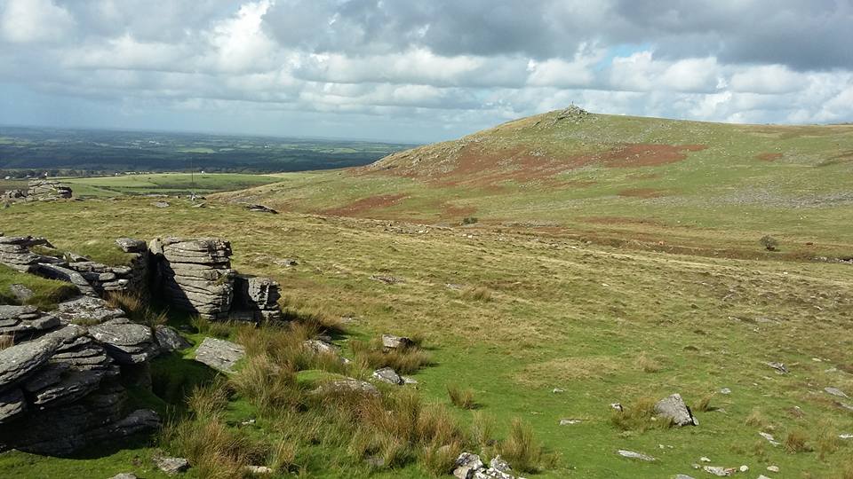
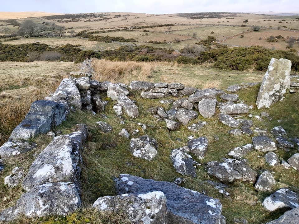
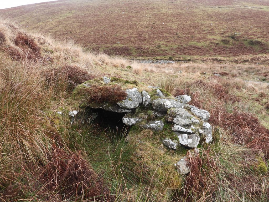
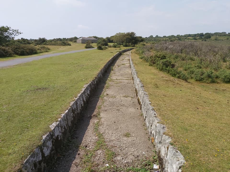
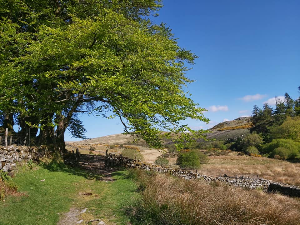
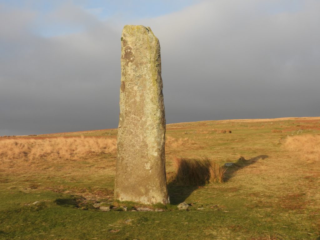
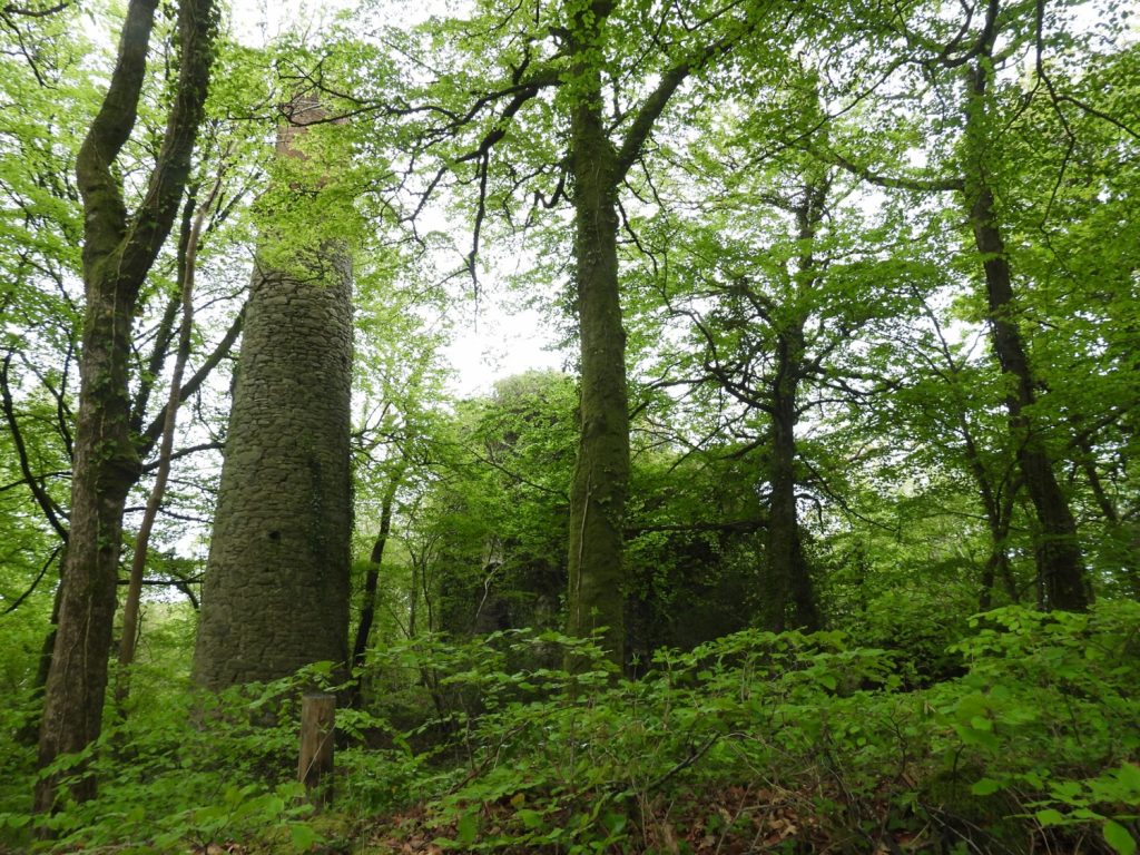
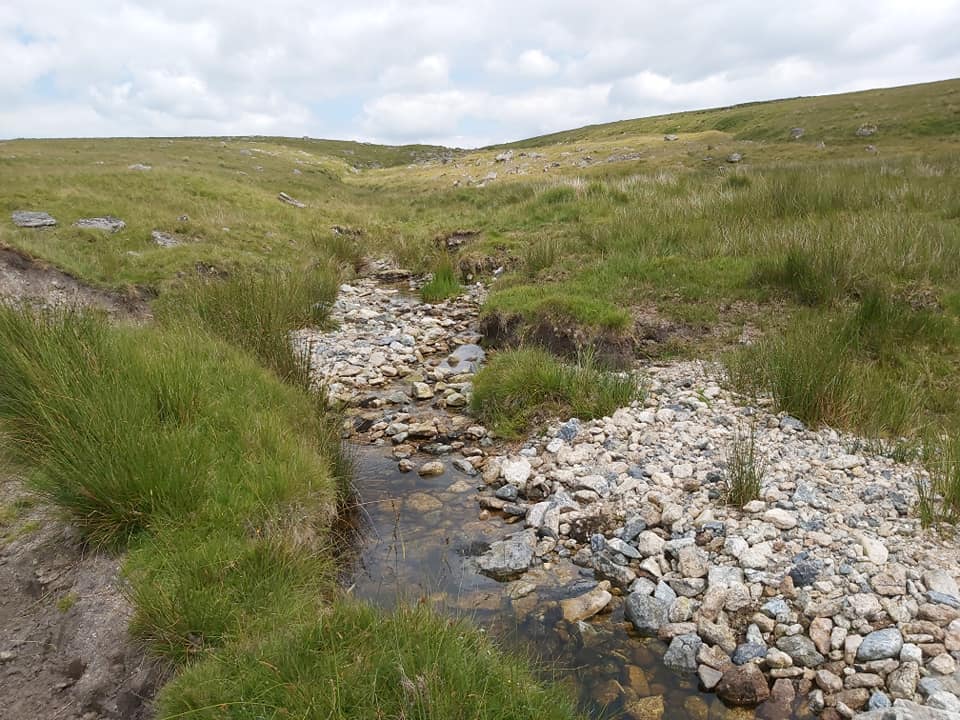
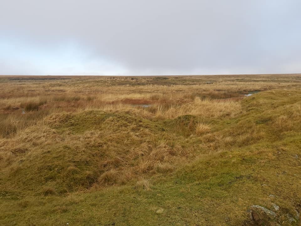
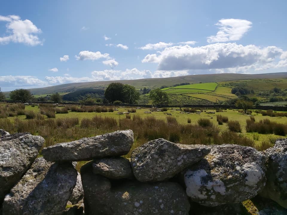
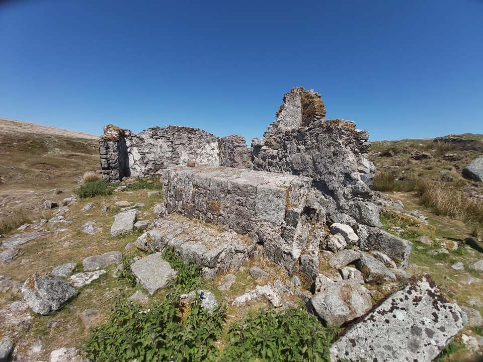
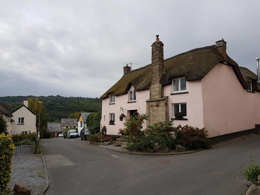
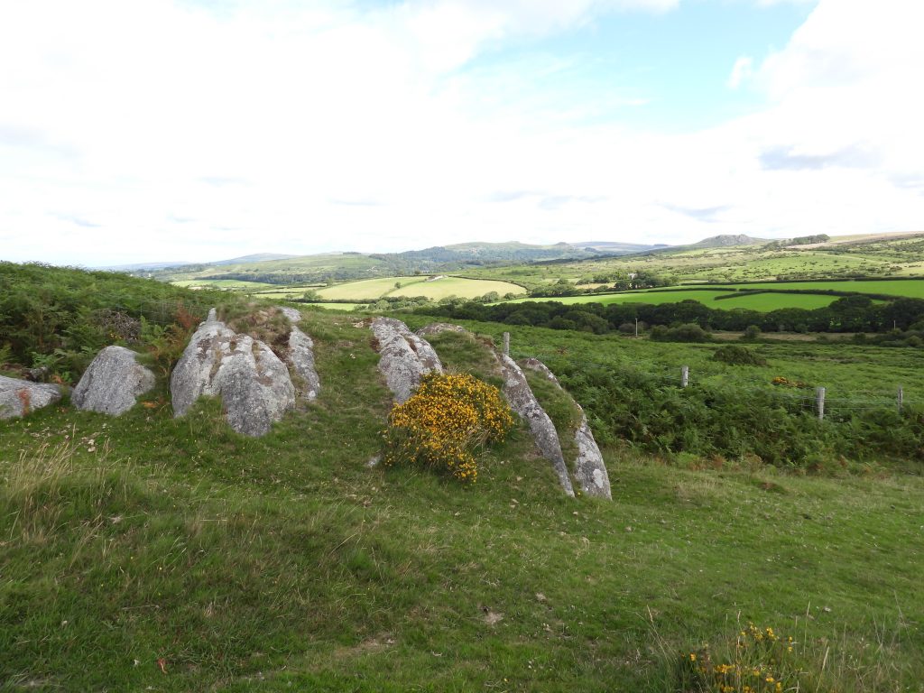
Dartmoor Explorations

A collection of walks, discoveries, insights and pictures of exploring Dartmoor National Park

Dartmoor Explorations Gazetteer Letter “D”

A Gazetteer is described as ā€œa geographical dictionary or directory used in conjunction with a map or atlasā€Mike Brown published an extensive Gazetteer of Dartmoor Names in 1993 and this provided the inspiration for the creation of this ā€œDartmoor Explorations Gazetteerā€. The author has thousands of photographs taken throughout the National Park and the creation of this (photographic) Gazetteer seemed the perfect repository for some of them. This post of Letter ā€œD’sā€ will be added to as more photographs are collated.

Dancers
Dancers – SX6350 6442
Dartmeet Bridge
Dartmeet Bridge – SX6719 7318
Dartmeet
Dartmeet – SX6713 7318
Daveytown
Daveytown – SX5497 7320
Dead Lake
Dead Lake – SX566 785
Deep Ford
Deep Ford – SX6075 8919
Dendles Waste Cairn Circle
Dendles Waste (Cairn Circle) – SX6153 6279
Devil's Frying Pan
Devil’s Frying Pan – SX5630 7687
Devonport Leat Aqueduct
Devonport Leat Aqueduct – SX5733 7138
Dewerstone Rock
Dewerstone Rock – SX5388 6380
Diamond Lane
Diamond Lane – SX6794 6230
Dinah's House
Dinah’s House – SX6845 8002
Dick's Well
Dick’s Well – SX5512 8605
Dinger Tor
Dinger Tor – SX5862 8810
Ditsworthy Warren House
Ditsworthy Warren House – SX5840 6628
Doe Tor
Doe Tor – SX542 848
Dolly Trebble's Cott
Dolly Trebble’s Cott – SX6435 7258
Downing's House
Downing’s House – SX6395 6293
Drake's Leat
Drake’s Leat – SX5185 6510
Drift Lane
Drift Lane – SX6430 7933
Drizzlecombe
Drizzlecombe (Winter Solstice shadow alignment) – SX5920 6700
Druid Mine
Druid Mine – SX745 715
Dry Lake Ford
Dry Lake Ford – SX6340 6639
Ducks Pool
Ducks Pool – SX624 679
Dunnabridge Pound
Dunnabridge Pound – SX646 746
Dunnagoat Cottage
Dunnagoat Cottage – SX5598 8648
Dunsford
Dunsford – SX813 892
Durance Rocks
Durance Rocks – SX5497 6522

Total Page Visits: 1279 - Today Page Visits: 1

Next Post

Previous Post

2 Comments

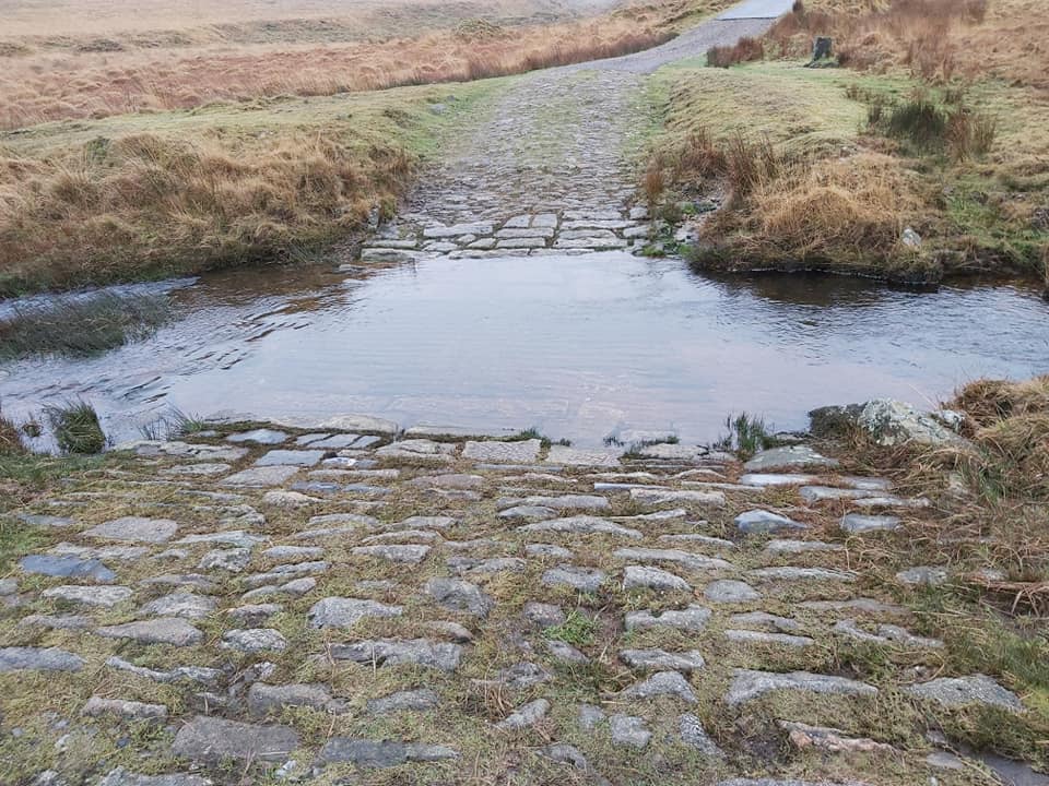
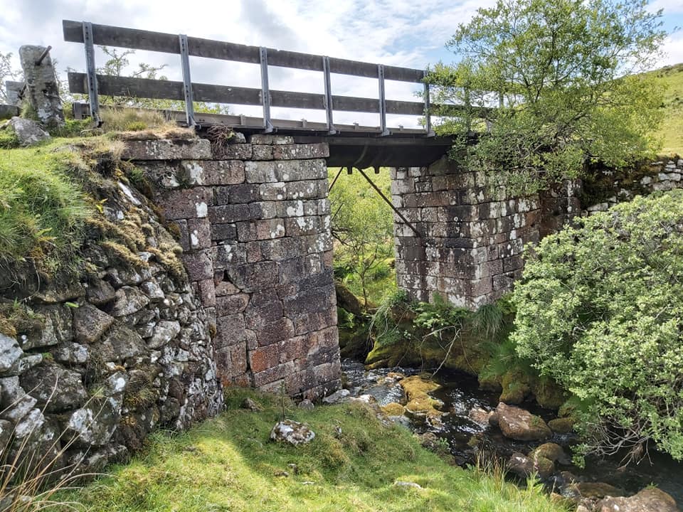
  1. Nigel Machin May 1, 2022

    Hi Steve – enjoying working through my backlog of your posts. I thought for a moment you had a Devonport Leat aqueduct I didn’t know about but the picture looks like the well-known one up towards Black Tor at SX 5732 7137. Isn’t your grid ref the road bridge down at Meavy? Keep up the good work! – Nigel

    • SteveGrigg1961 May 1, 2022 — Post author

      Hi Nigel,

      Thanks for picking up the error. I used the NGR from Mike Brown’s Gazetteer which had SX5384 6719, which in actual fact is Lower Meavy Bridge. I will check my references in future!
      Kind Regards, Steve

Leave a Reply

© 2025 Dartmoor Explorations

Theme by Anders Norén

Social media & sharing icons powered by UltimatelySocial