Dartmoor Explorations

A collection of walks, discoveries, insights and pictures of exploring Dartmoor National Park

Dartmoor Explorations Gazetteer : Letter “E”

A Gazetteer is described as “a geographical dictionary or directory used in conjunction with a map or atlas”Mike Brown published an extensive Gazetteer of Dartmoor Names in 1993 and this provided the inspiration for the creation of this “Dartmoor Explorations Gazetteer”. The author has thousands of photographs taken throughout the National Park and the creation of this (photographic) Gazetteer seemed the perfect repository for some of them. This post of Letter “E’s” will be added to as more photographs are collated.
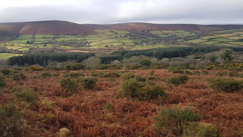
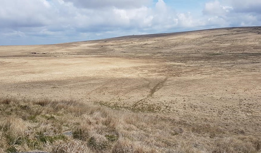
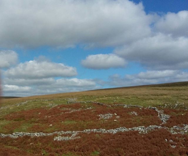
Easdon Down
Easdon Down – SX73 82
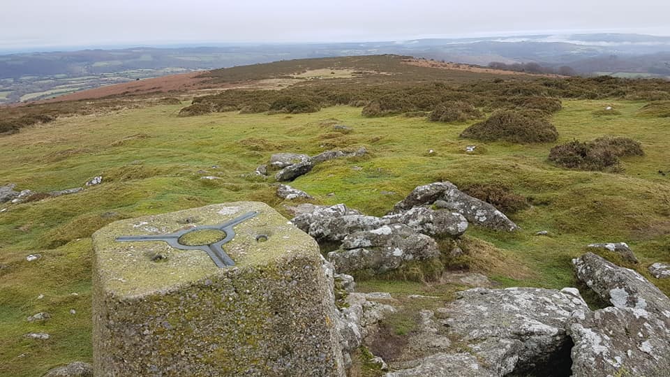
Easdon Hill
Easdon Hill – SX733 823
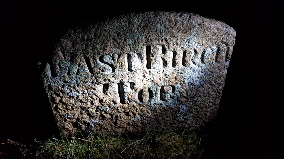
East Birch Tor Mine
East Birch Tor Mine – SX689 809
East Dart Head Pan
East Dart Head Pan – SX6099 8542
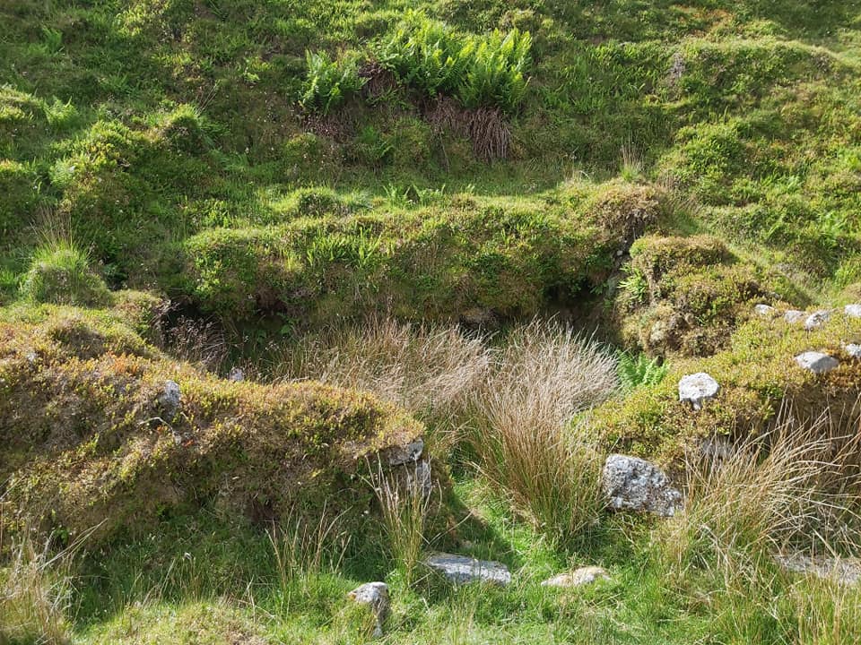
East Hughes Mine Tinners' Hut
East Hughes Mine Tinners’ Hut – SX5928 6994
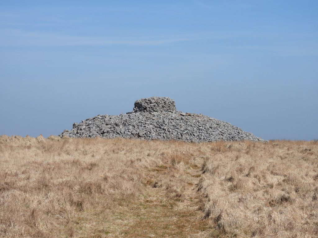
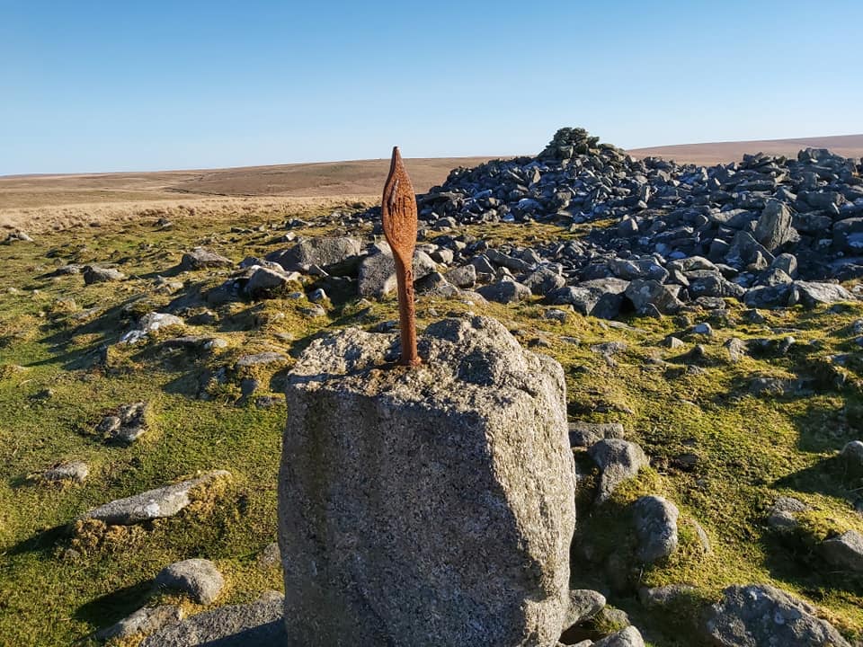
Eastern White Barrow
Eastern White Barrow – SX6653 6517
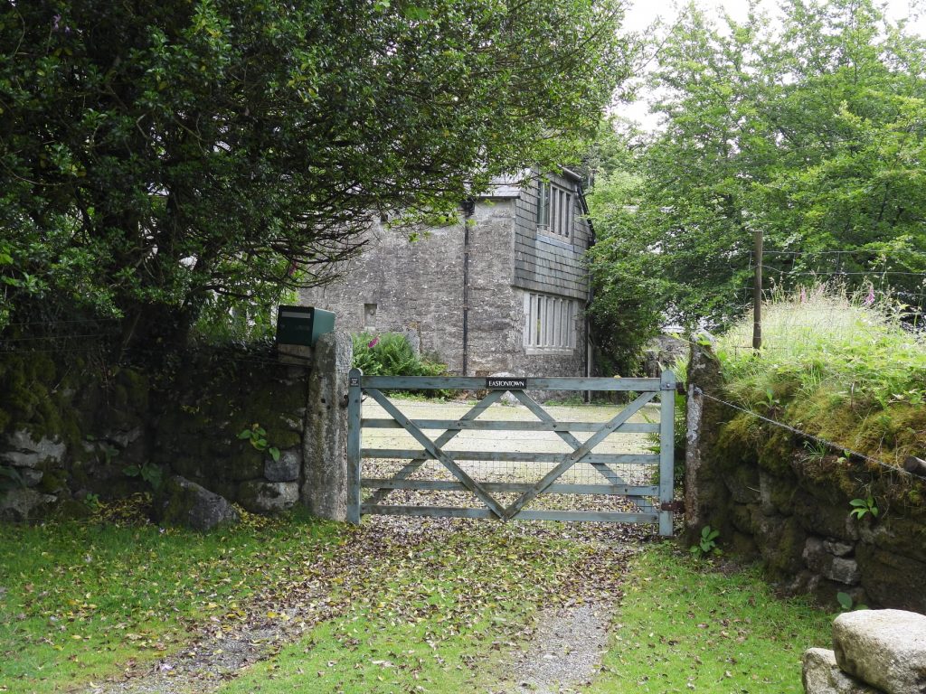
Eastondown
Eastondown – SX5360 7270
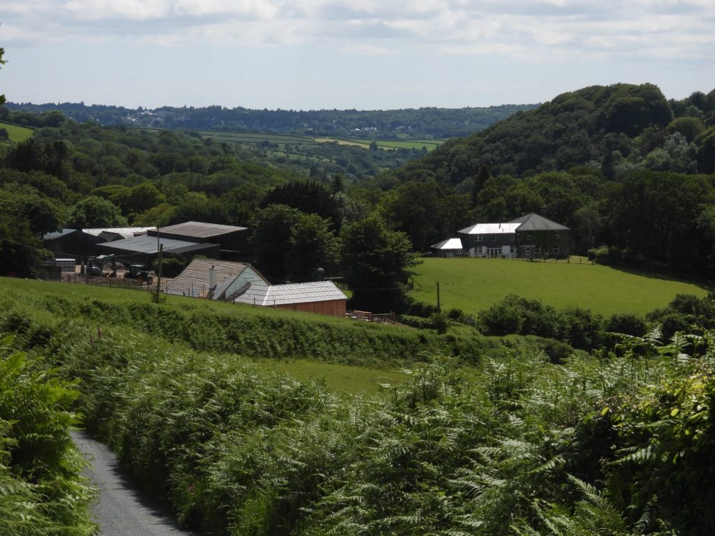
Eggworthy
Eggworthy – SX5440 7190
Ephraim's Pinch
Ephraim’s Pinch – SX6772 7853
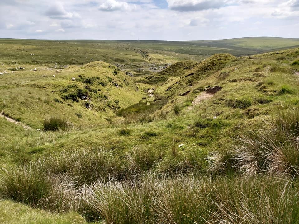
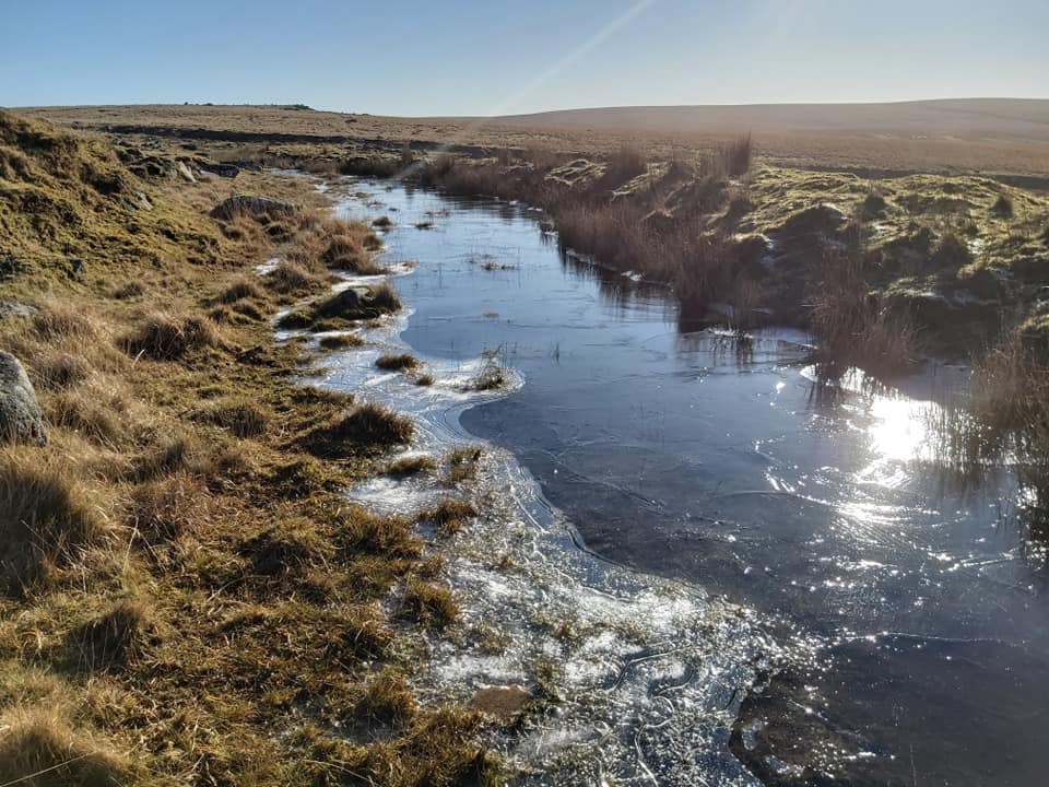
Erme Pits
Erme Pits – SX623 668
Erme Pound
Erme Pound – SX6377 6558
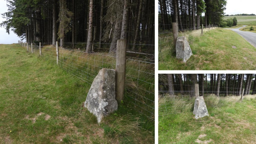
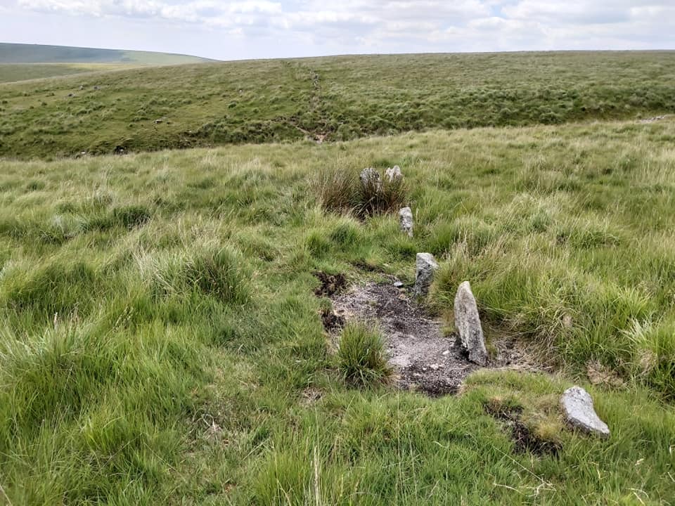
Erme Stone Row – SX636 652
Eylesbarrow Tinners' Earthwork Reservoir
Eylesbarrow Tinners’ Earthwork Reservoir – SX5966 6798
Eylesbarrow Hill
Eylesbarrow Hill – SX5997 6860

Total Page Visits: 597 - Today Page Visits: 1

Next Post

Previous Post

Leave a Reply

© 2024 Dartmoor Explorations

Theme by Anders Norén

Social media & sharing icons powered by UltimatelySocial