A collection of walks, discoveries, insights and pictures of exploring Dartmoor National Park
October 14, 2026
Dartmoor 1000 – Upper North
The recording of the ‘Upper North’ area in the Dartmoor 1000 project is 92.9% complete, with just 5 photographs to collect. Each km square is referenced with: an annotated map ‘snippet’ showing the SX grid with the location of the chosen artefact to represent the square and a photograph of that artefact. The OS map ‘snippets’ are 70 years old and not subject to copyright
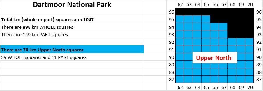
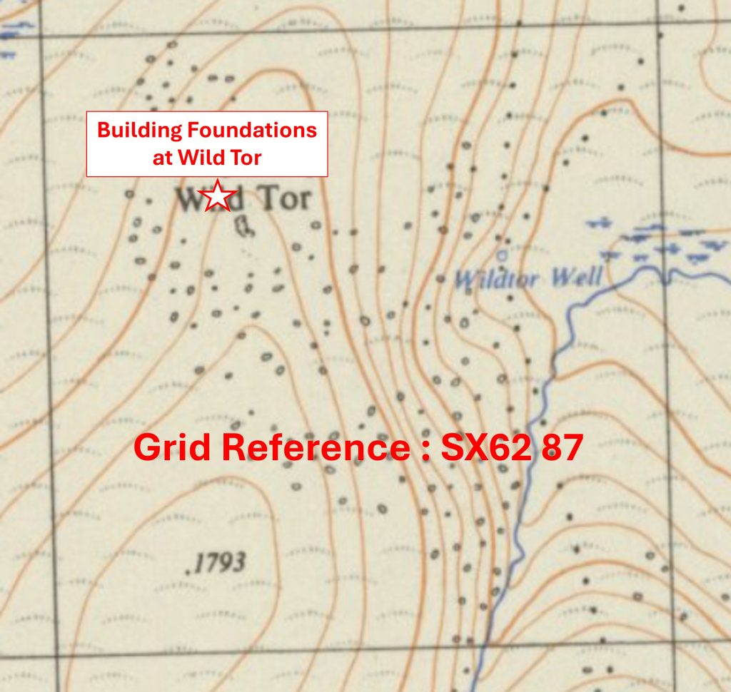
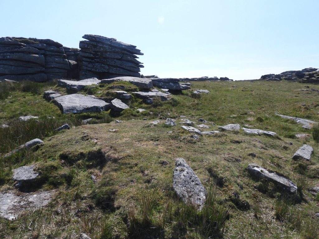
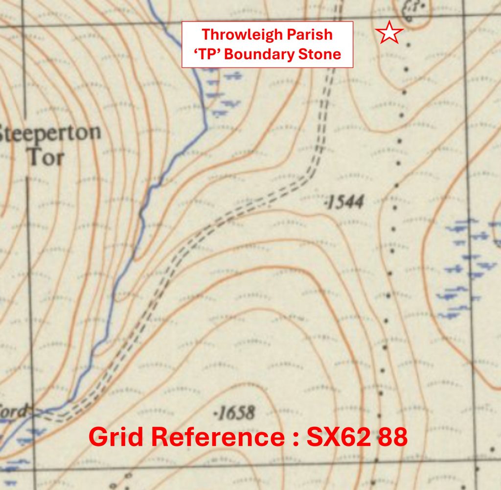
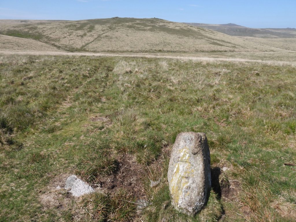
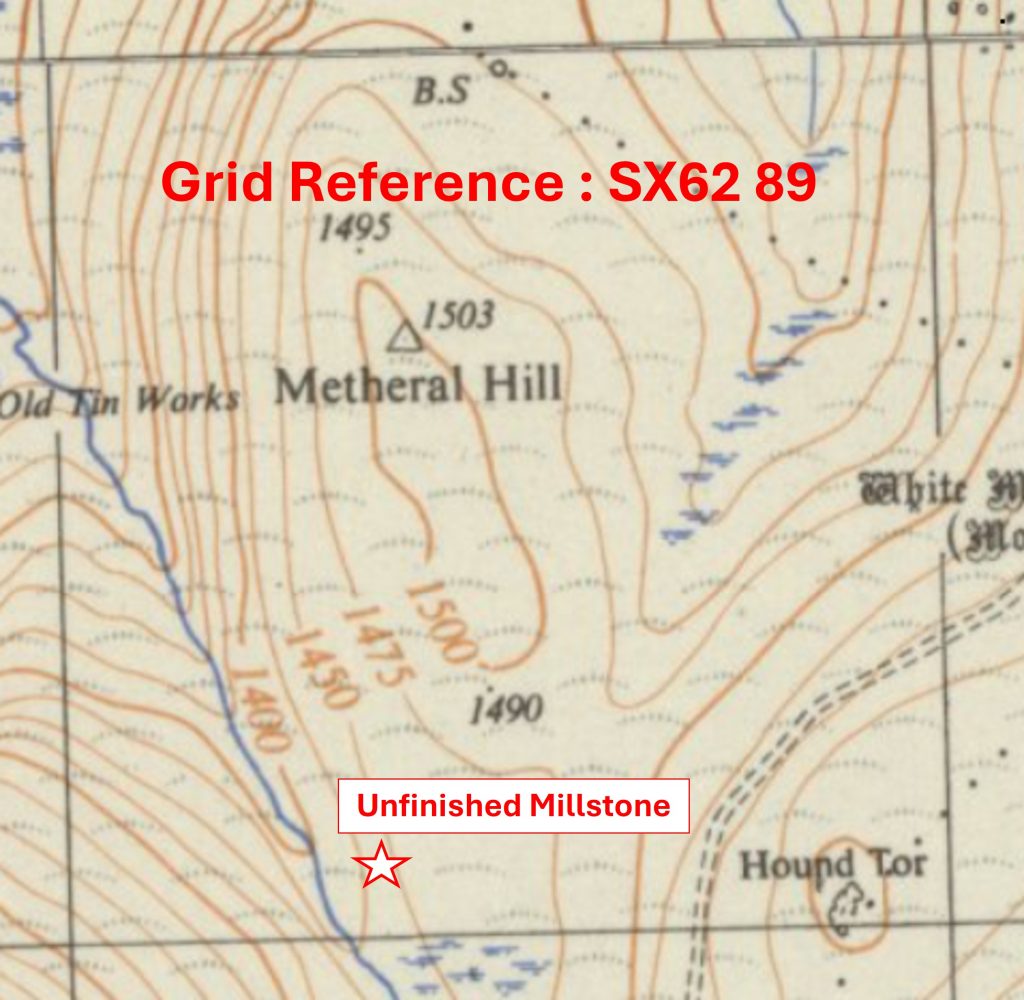
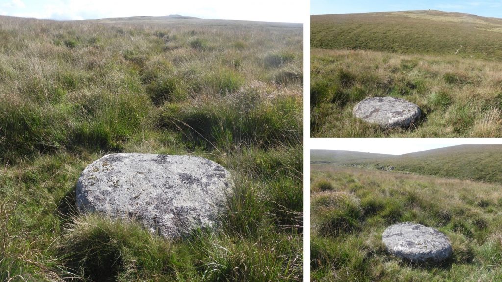
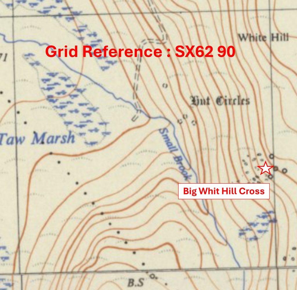
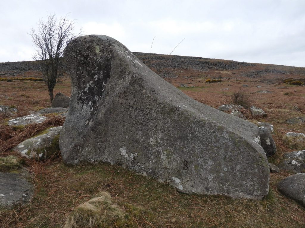
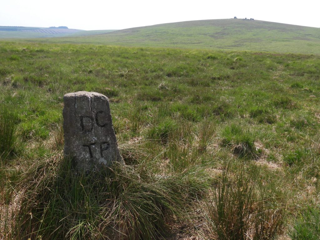
The ‘Upper North’ area comprises 59 ‘Whole’ and 11 ‘Part’ km squares, which represents 6.7% of the total. The south west corner is SX6287, the north west corner SX6295, the south east corner is SX7087 and the north east corner is SX7092.Grid Reference SX62 87. The item chosen to represent this square are some Building Foundations at Wild TorGrid Reference SX62 87. The Building Foundations at Wild Tor are located at SX62280 87740Grid Reference SX62 88. The item chosen to represent this square is a Throwleigh Parish ‘TP’ Boundary StoneGrid Reference SX62 88. The Throwleigh Parish ‘TP’ Boundary Stone is located at SX62825 88956Grid Reference SX62 89. The item chosen to represent this square is an Unfinished MillstoneGrid Reference SX62 89. The Unfinished Millstone is located at SX62350 89074Grid Reference SX62 90. The item chosen to represent this square is Big Whit Hill Cross
Grid Reference SX62 90. Big Whit Hill Cross is located at SX62968 90377
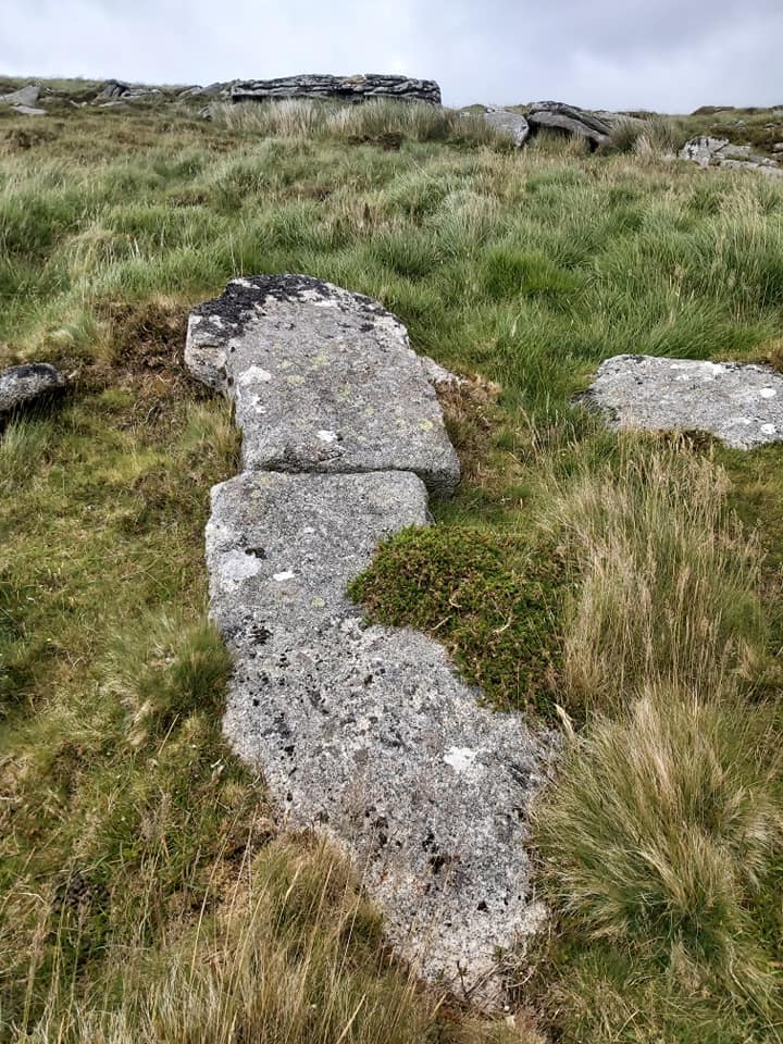
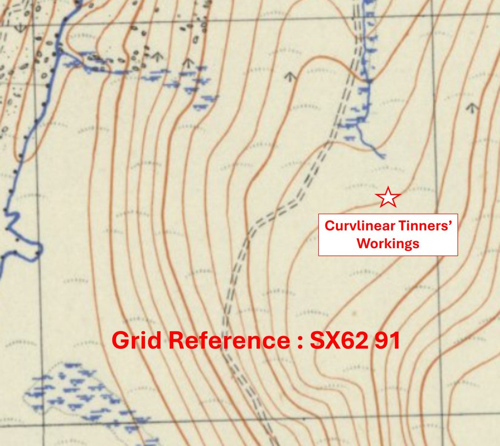
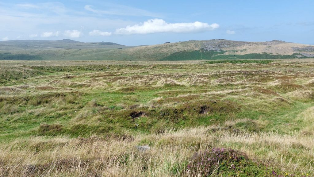
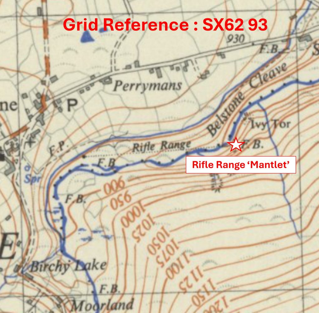
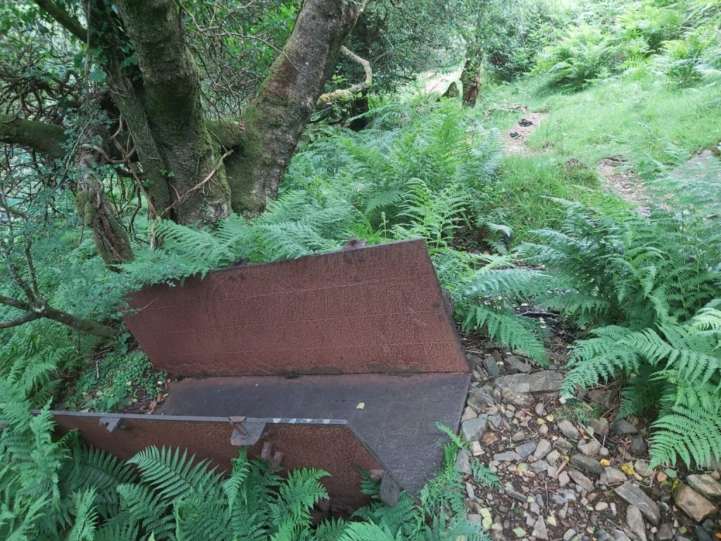
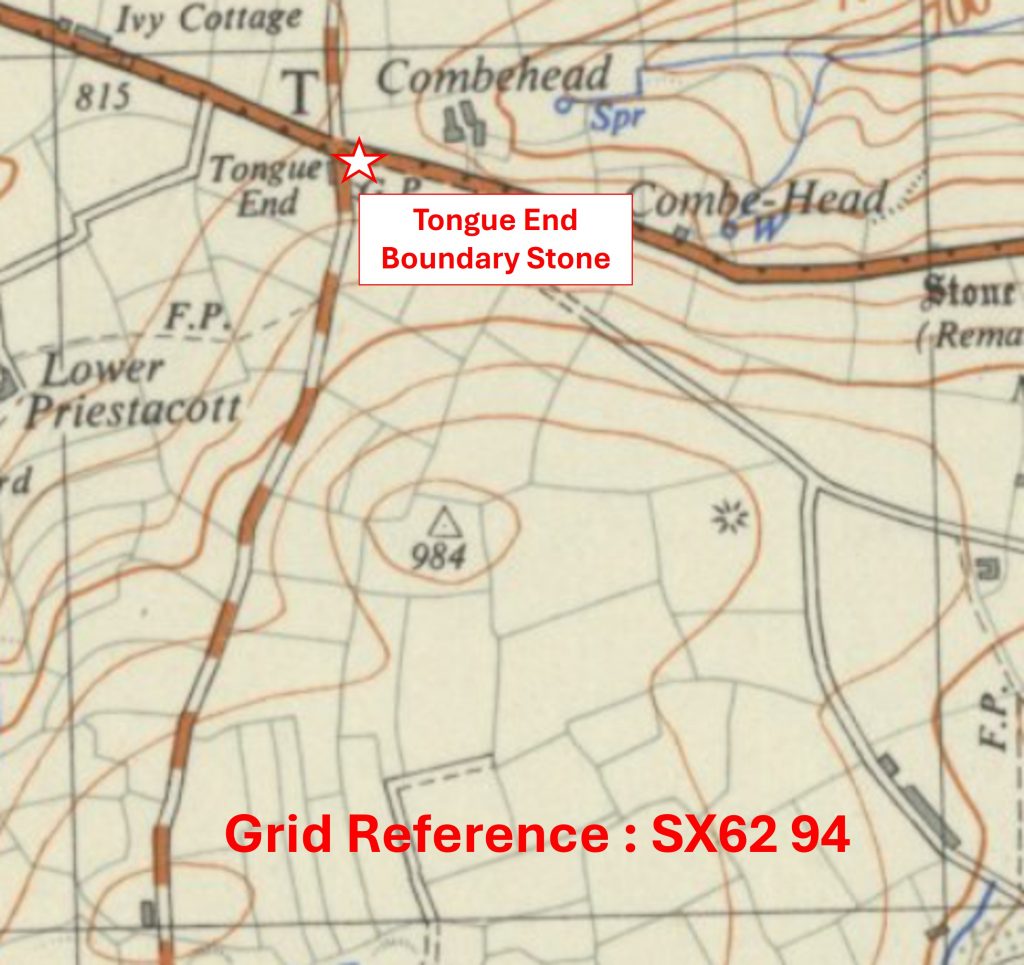
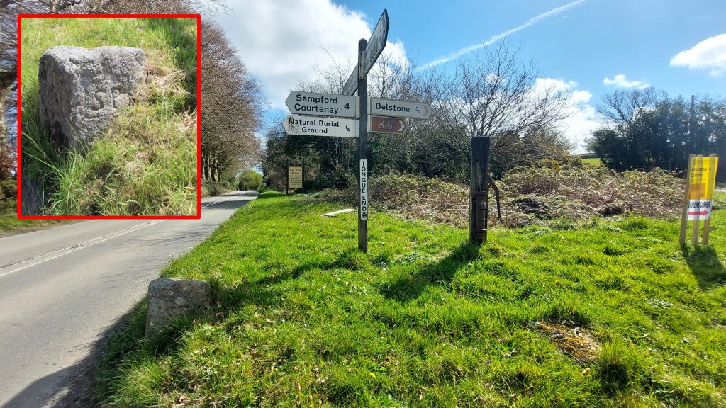
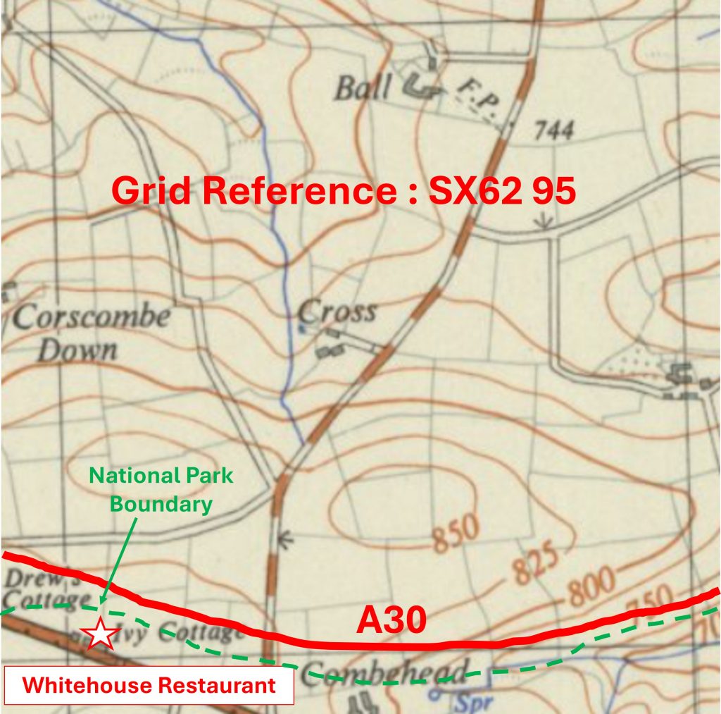
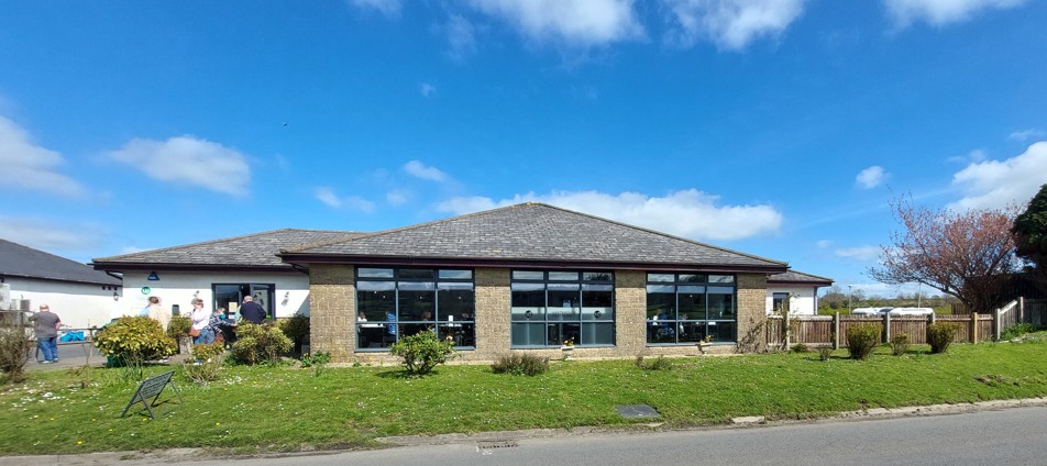
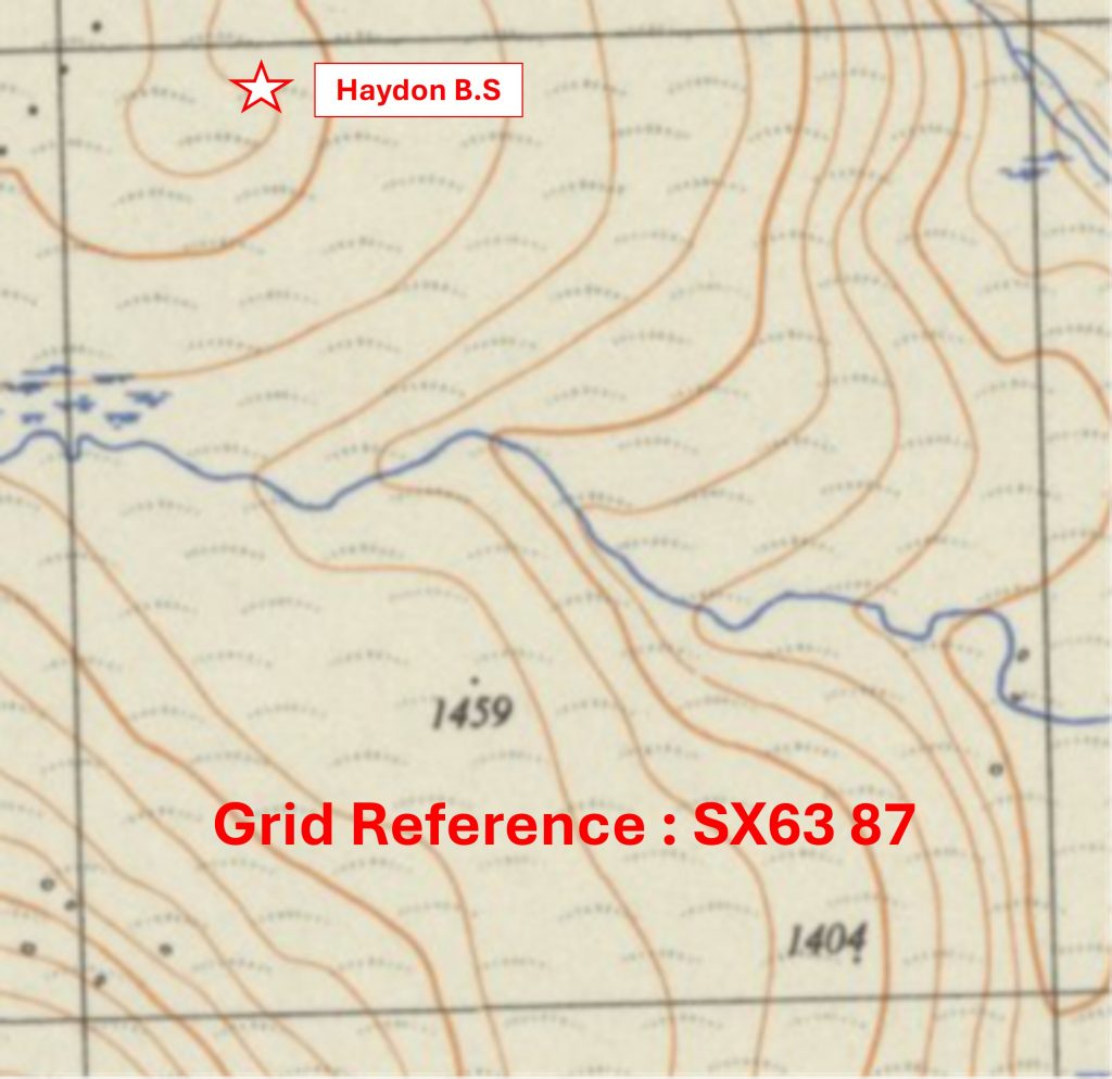
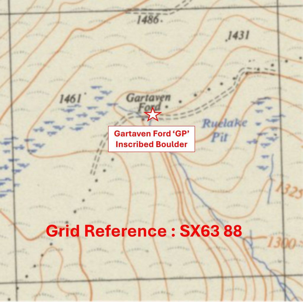
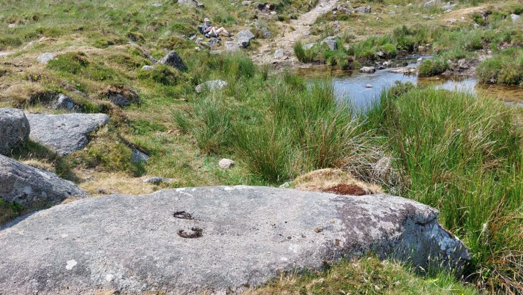
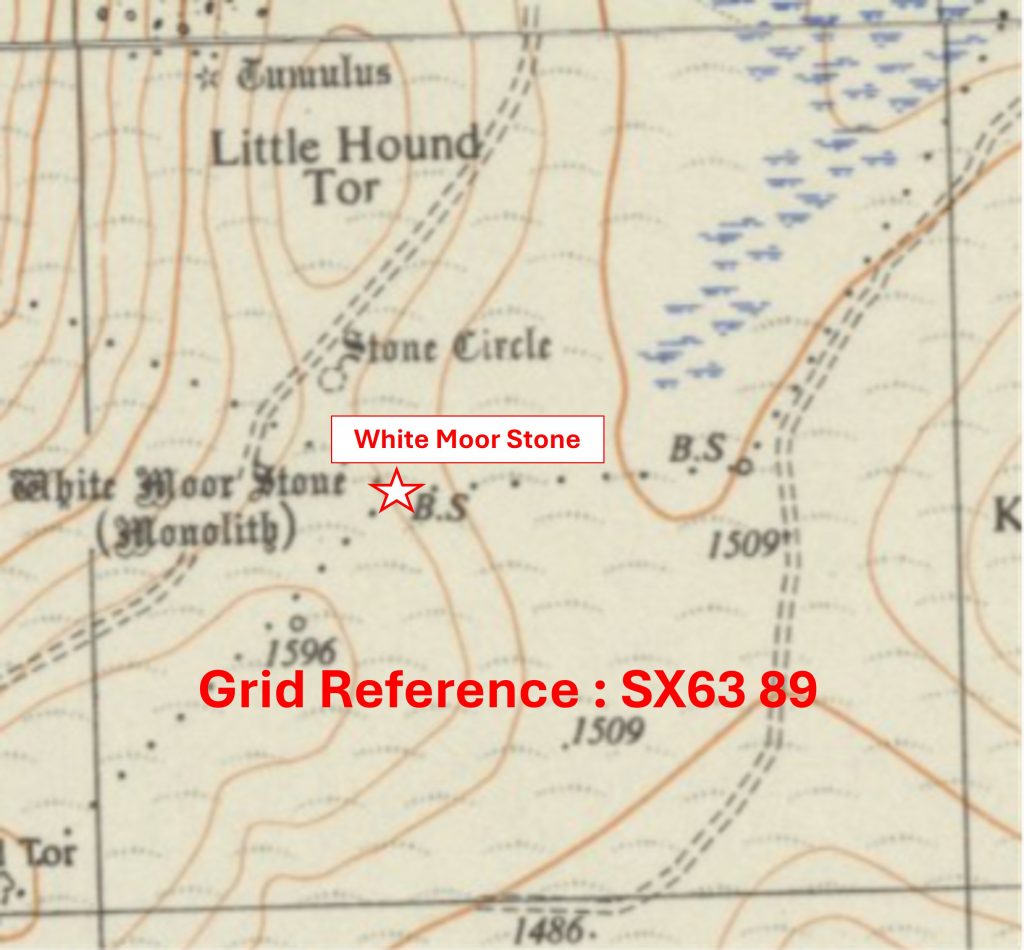
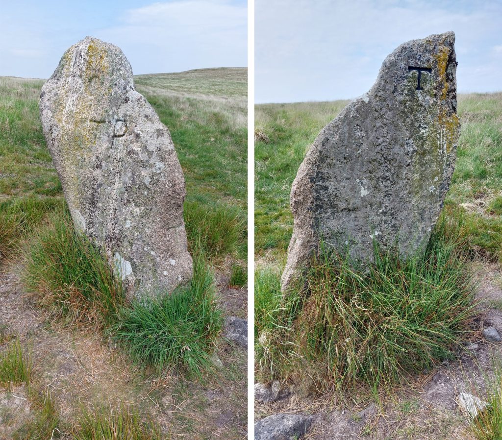
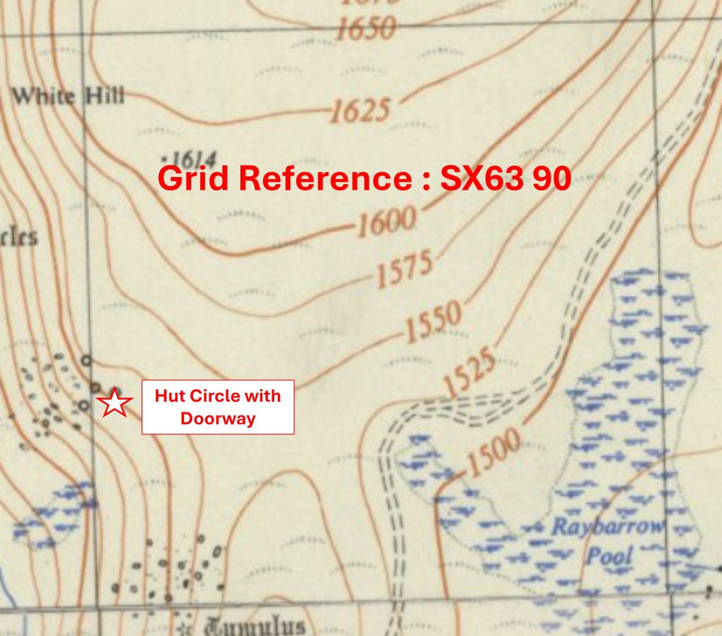
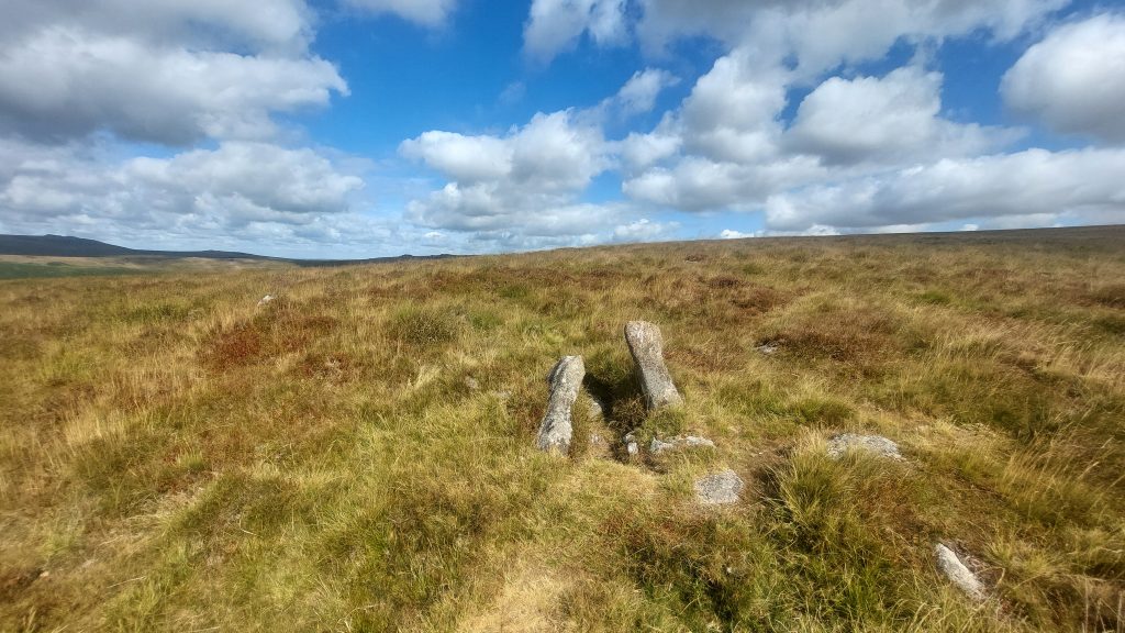
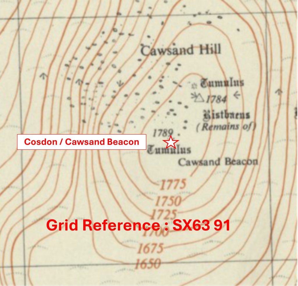
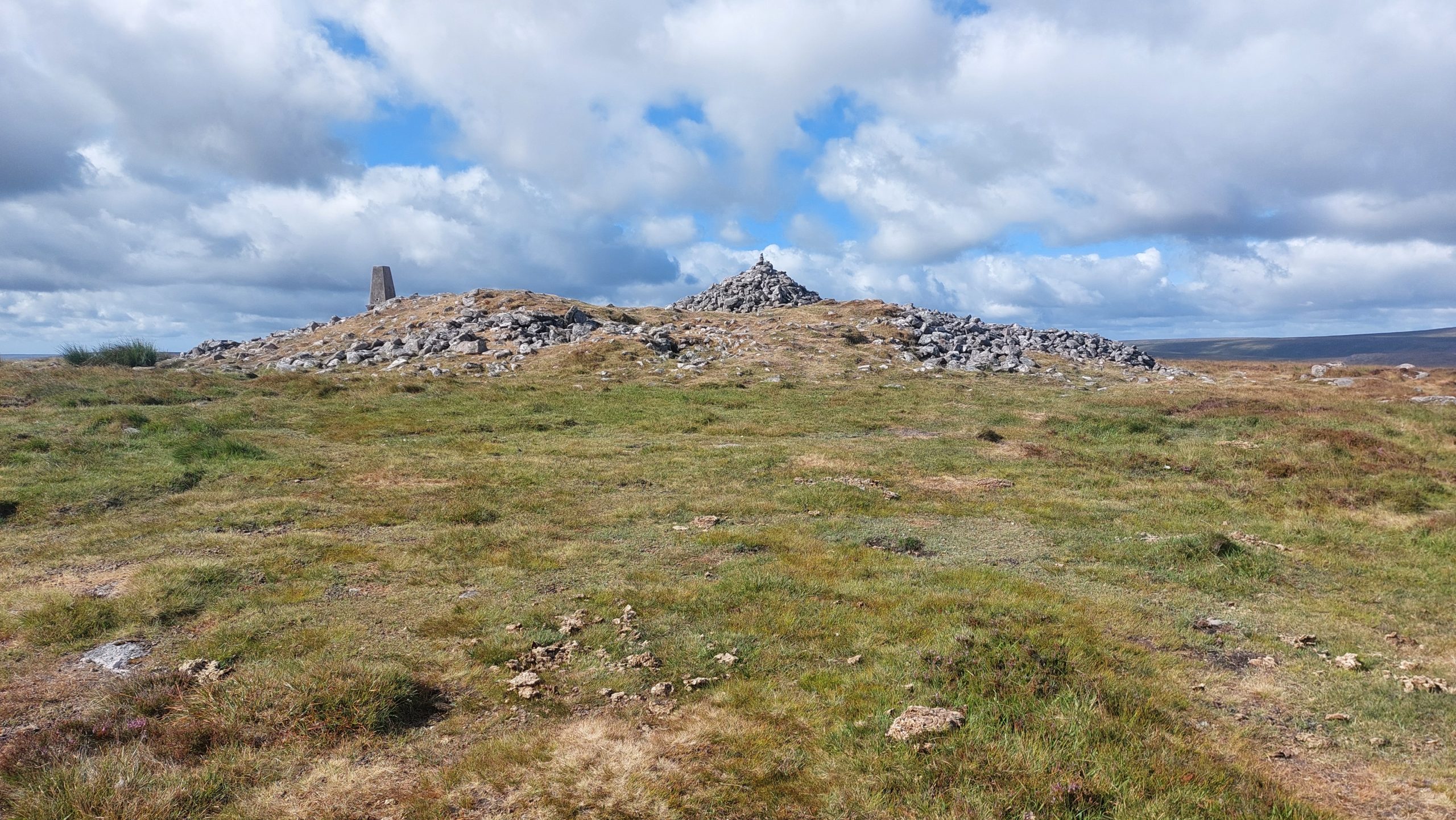
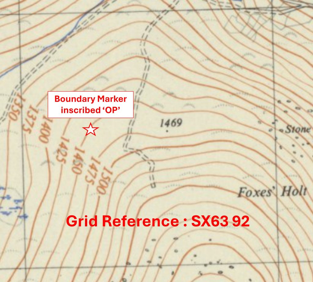
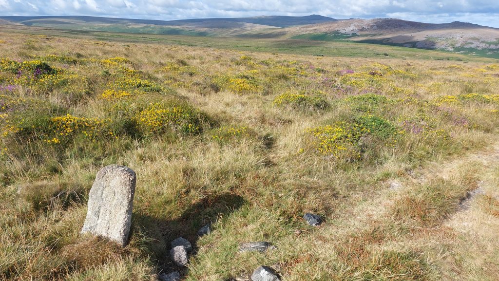
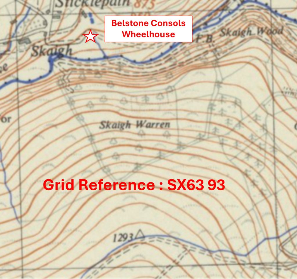
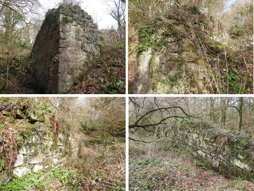
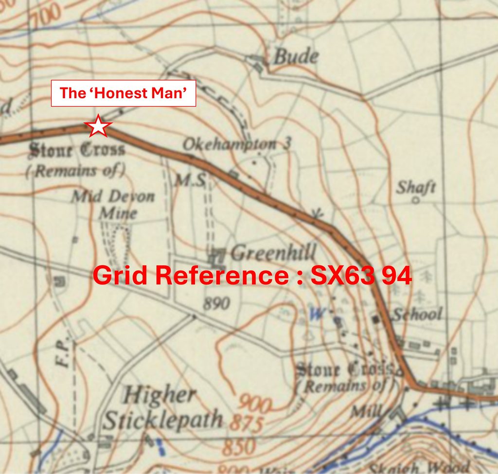
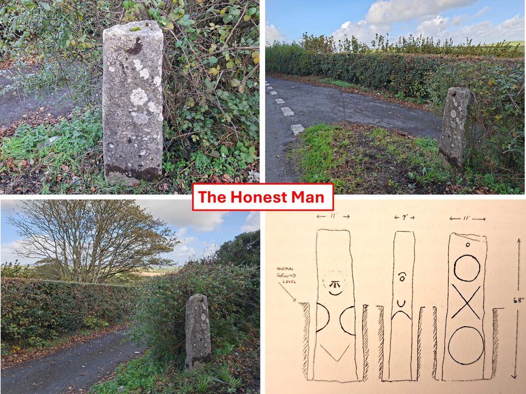
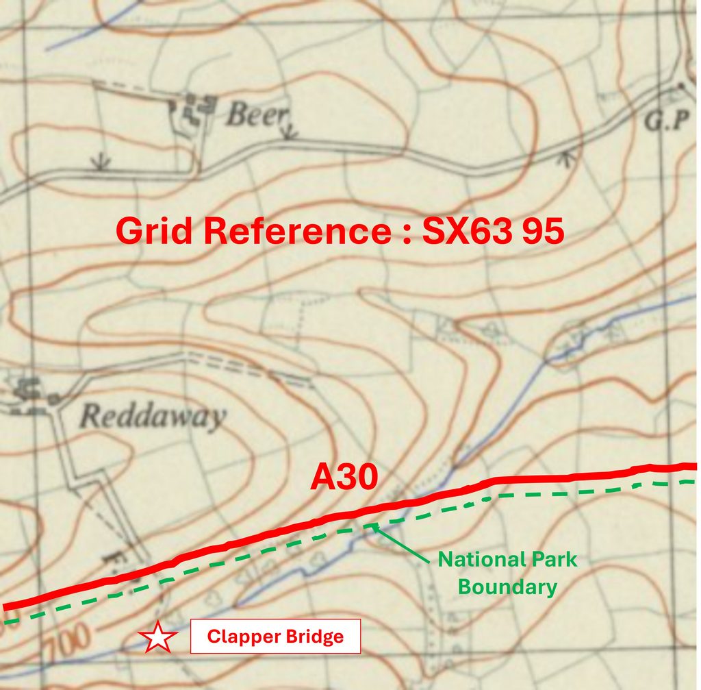
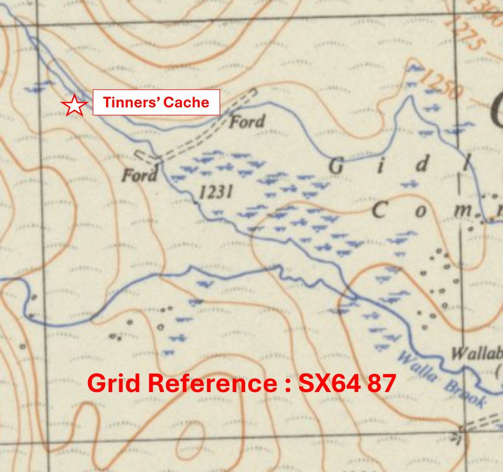
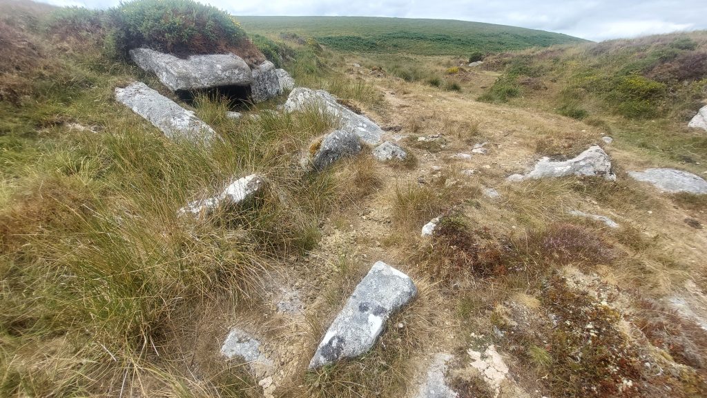
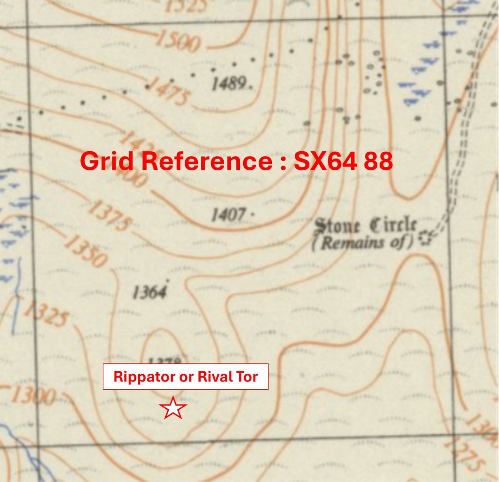
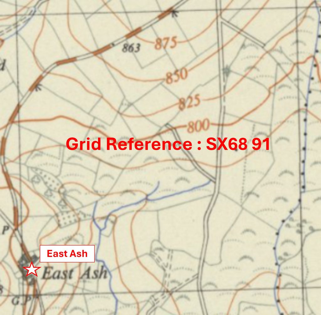
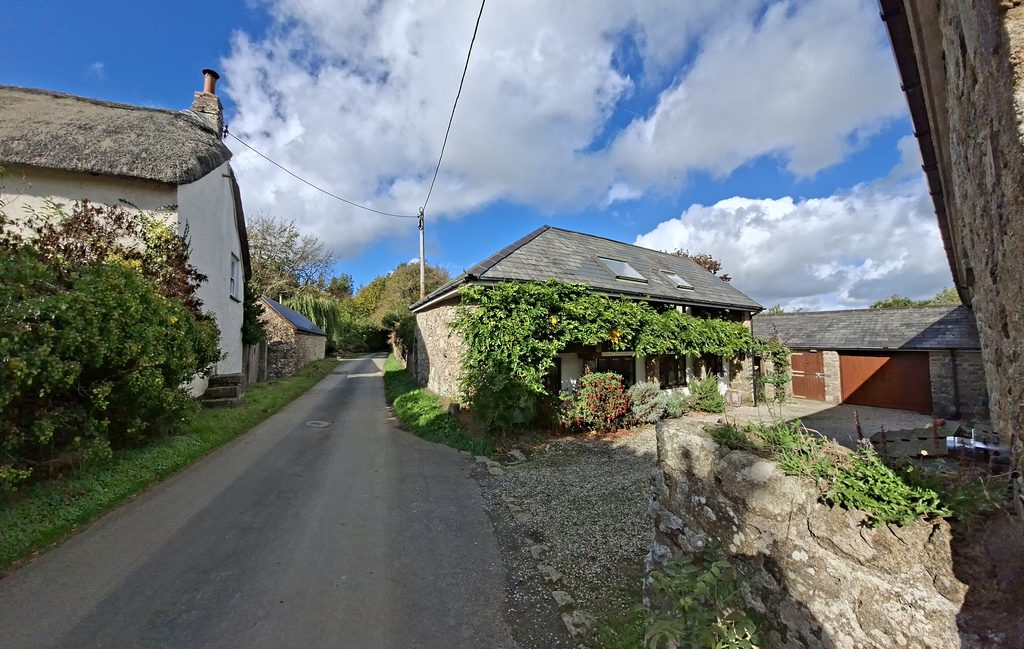
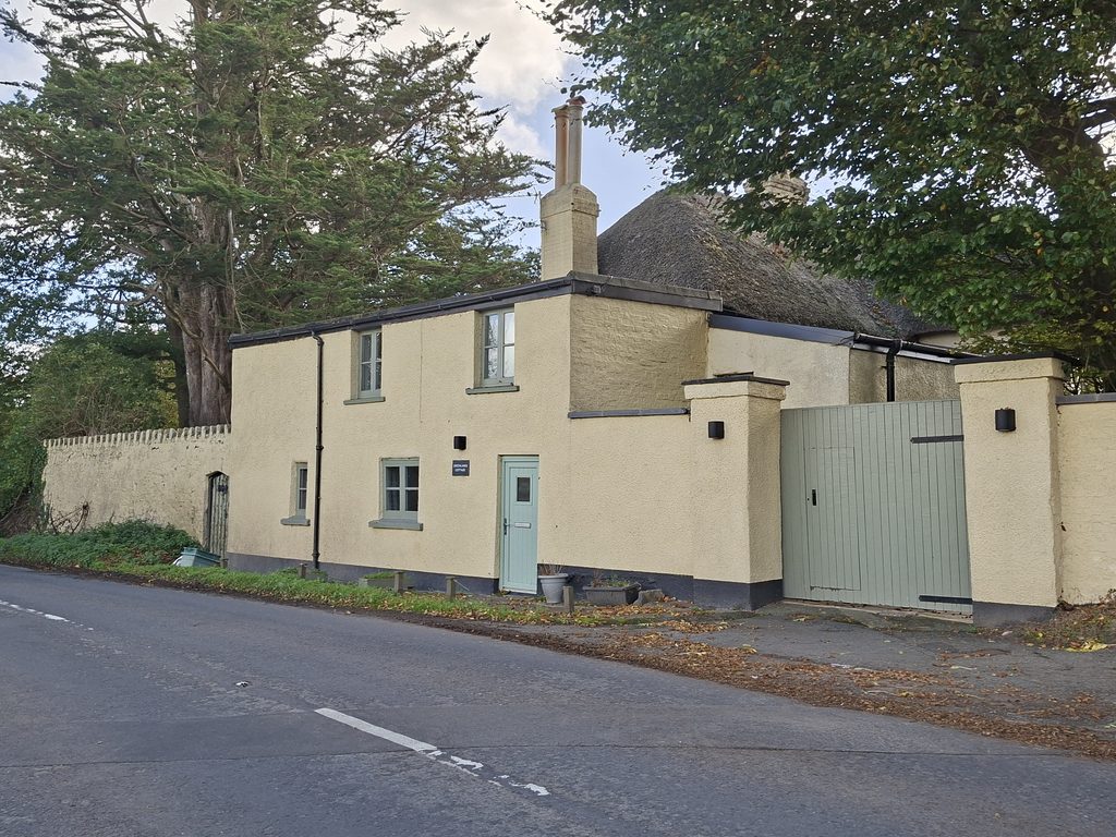
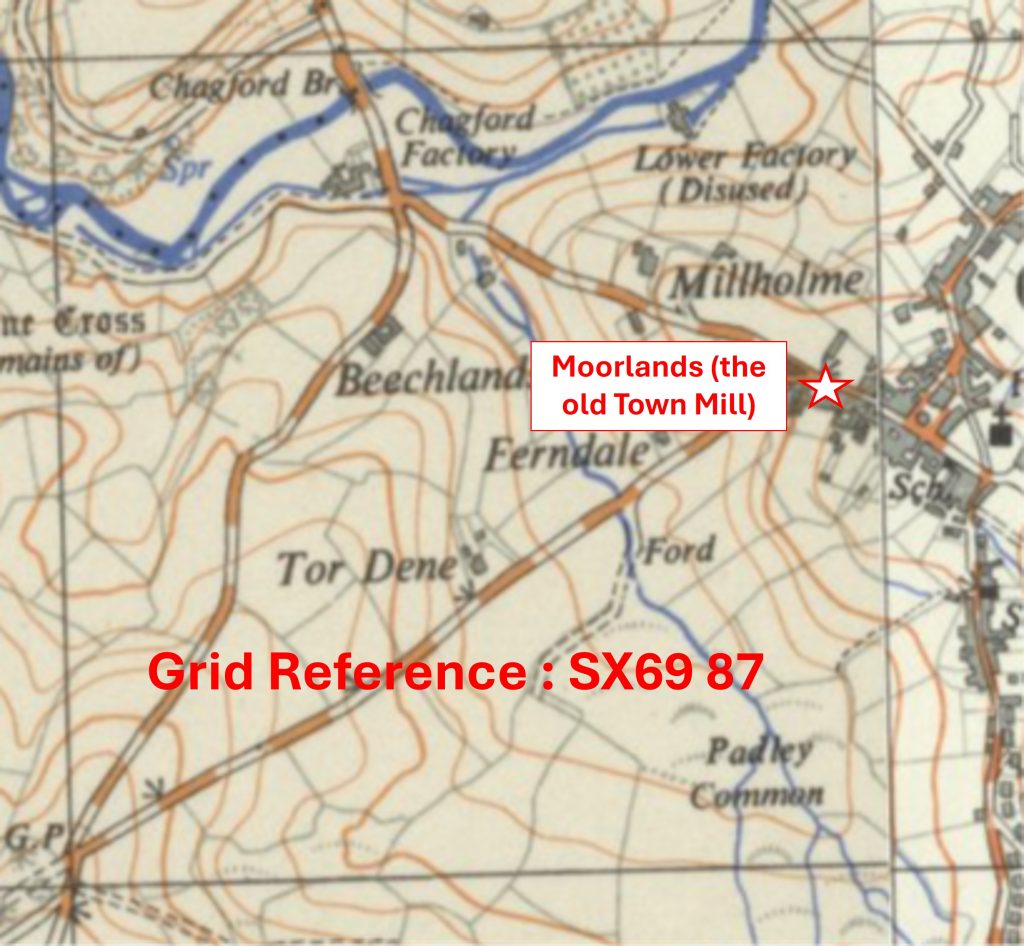
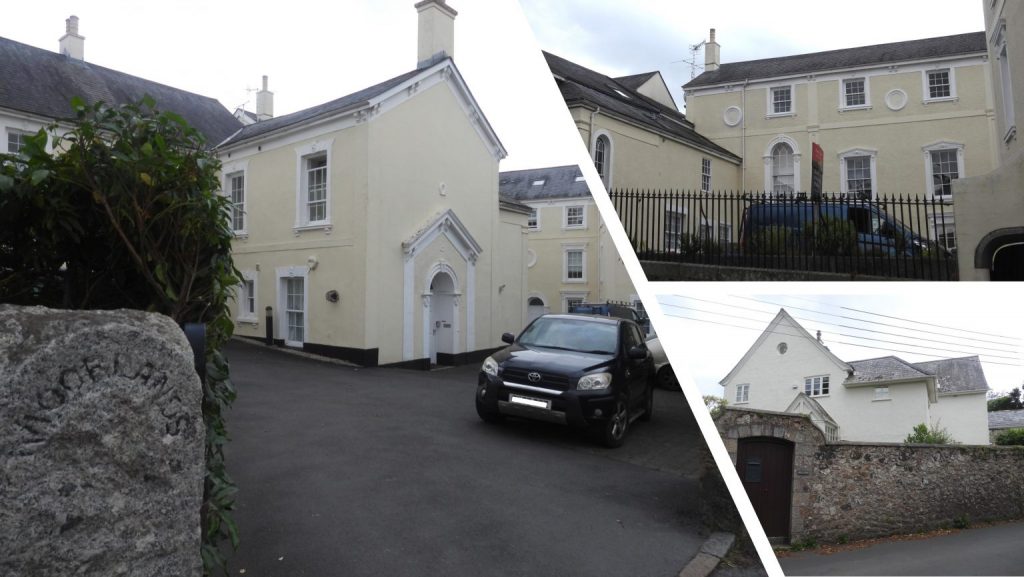
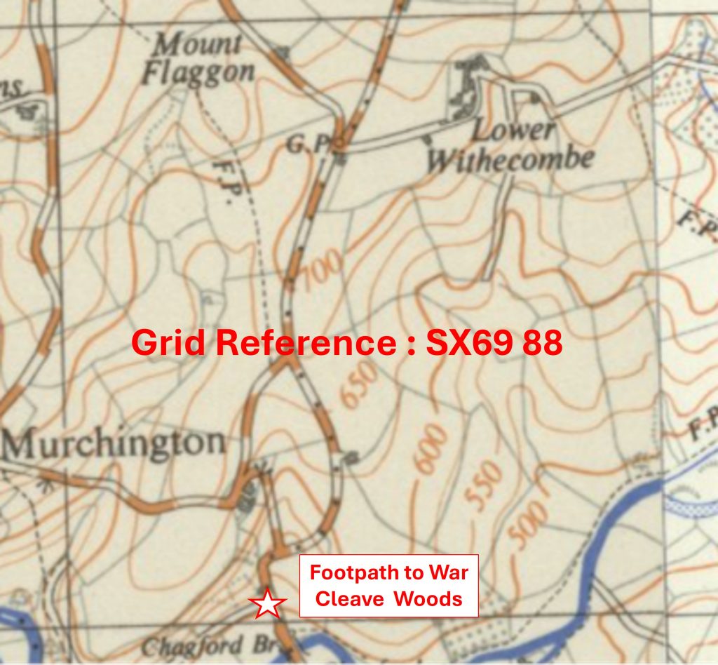
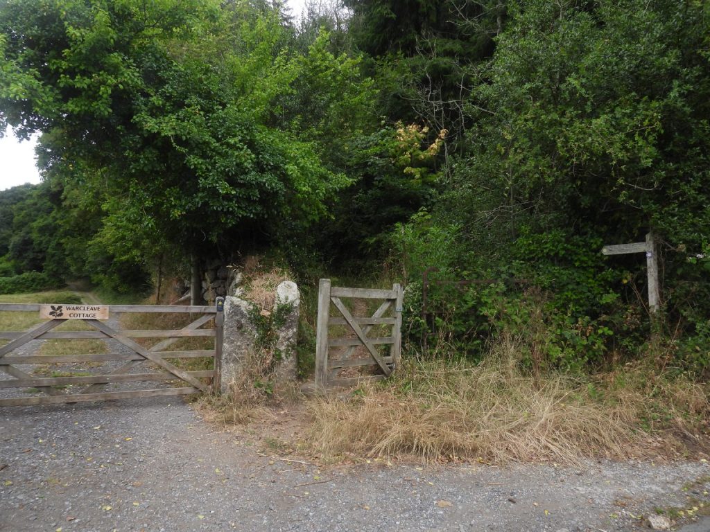
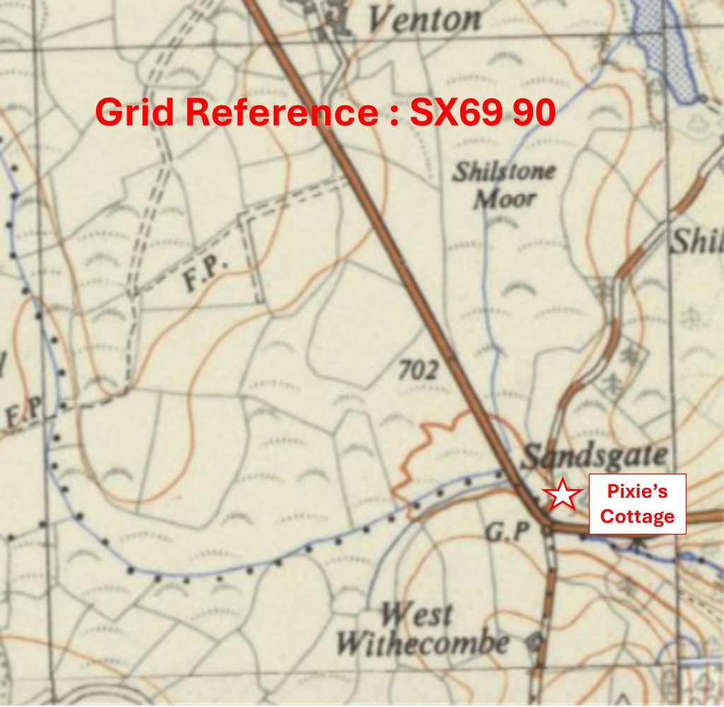
Grid Reference SX62 91. The item chosen to represent this square is Curvlinear Tinners’ WorkingsGrid Reference SX62 91. The Curvlinear Tinners’ Workings are located at SX6287 9153Grid Reference SX62 92. The item chosen to represent this square is Holloway Parson RockGrid Reference SX62 92. Holloway Parson Rock is located at SX6210 9240Grid Reference SX62 93. The item chosen to represent this square is a Rifle Range ‘Mantlet’Grid Reference SX62 93. The Rifle Range ‘Mantlet’ is located at SX62766 93528Grid Reference SX62 94. The item chosen to represent this square is Tongue End Boundary StoneGrid Reference SX62 94. Tongue End Boundary Stone is located at SX6232 9489Grid Reference SX62 95. This is a part square just within the northern boundary of Dartmoor National Park. The item chosen to represent this square is the modern Whitehouse Restaurant, which replaced a dwelling called Ivy CottageGrid Reference SX62 95. The modern Whitehouse Restaurant, which replaced a dwelling called Ivy Cottage is located at SX62042 95045Grid Reference SX63 87. The item chosen to represent this square is Haydon B.SGrid Reference SX63 87. Haydon B.S is located at SX63157 87978Grid Reference SX63 88. The item chosen to represent this square is Gartaven Ford ‘GP’ Inscribed BoulderGrid Reference SX63 88. The Gartaven Ford ‘GP’ Inscribed Boulder is located at SX6350 8860Grid Reference SX63 89. The item chosen to represent this square is White Moor StoneGrid Reference SX63 89. The White Moor Stone is located at SX63345 89473Grid Reference SX63 90. The item chosen to represent this square is a Hut Circle with DoorwayGrid Reference SX63 90. The Hut Circle with Doorway is located at SX63034 90384Grid Reference SX63 91. The item chosen to represent this square is Cosdon / Cawsand BeaconGrid Reference SX63 91. Cosdon / Cawsand Beacon is located at SX63607 91505Grid Reference SX63 92. The item chosen to represent this square is Boundary Marker inscribed ‘OP’Grid Reference SX63 92. The Boundary Marker inscribed ‘OP’ is located at SX63251 92525Grid Reference SX63 93. The item chosen to represent this square is Belstone Consols WheelhouseGrid Reference SX63 93. The Belstone Consols Wheelhouse is located at SX63267 93914Grid Reference SX63 94. The item chosen to represent this square is a granite cross known as the ‘Honest Man’Grid Reference SX63 94. The ‘Honest Man’ is located at SX63138 94768. Note: The sketch of the stone in collage was created by Dave Brewer (Dartmoor Boundary Markers, Second Edition; Page 186)Grid Reference SX63 95. The item chosen to represent this square is a small Clapper BridgeGrid Reference SX63 95. The small Clapper Bridge is located at SX63157 95039Grid Reference SX64 87. The item chosen to represent this square is a Tinners’ CacheGrid Reference SX64 87. The (possible) Tinners’ Cache is located at SX64054 87811Grid Reference SX64 88. The item chosen to represent this square is Rippator or Rival Tor
Grid Reference SX64 88. Rippator or Rival Tor is located at SX6432 8804
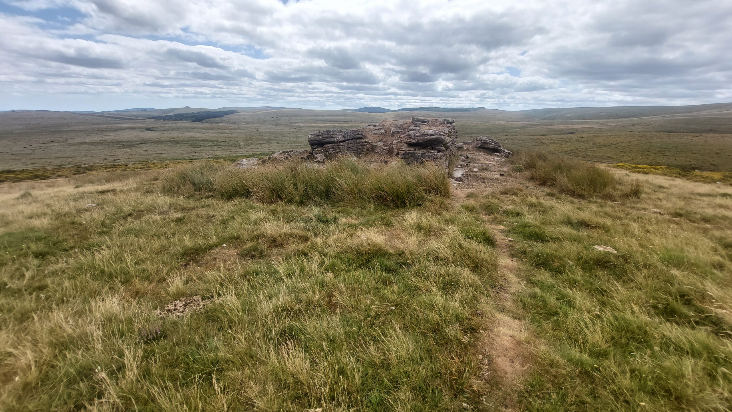
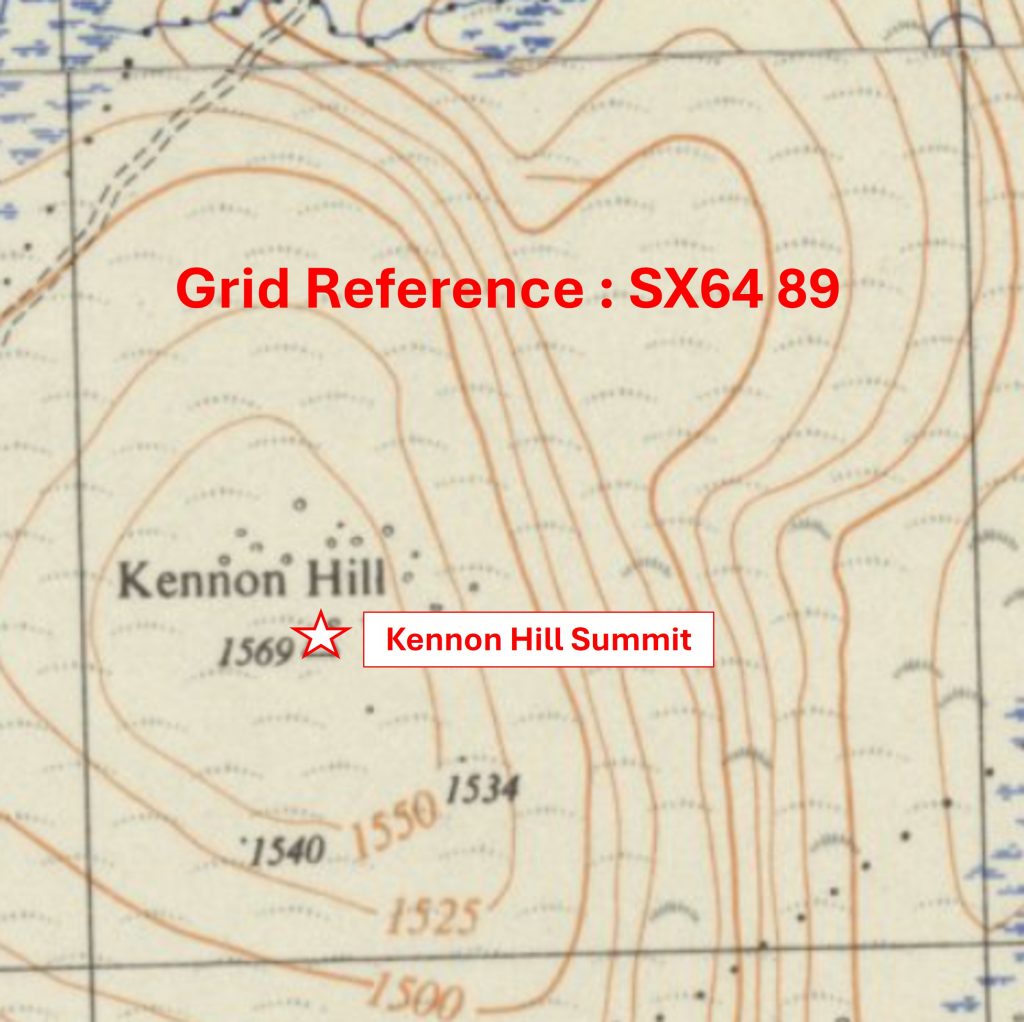
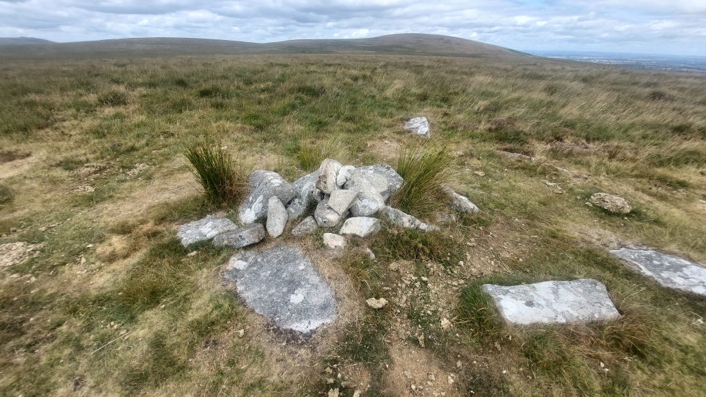
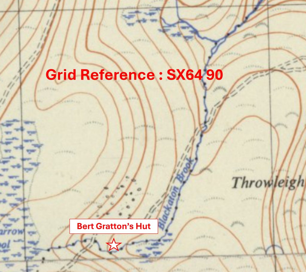
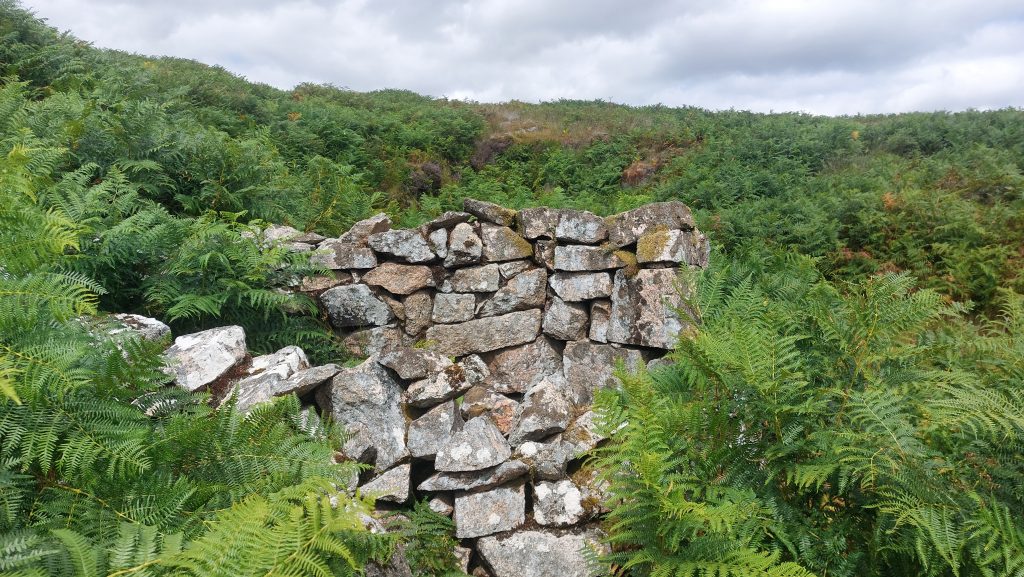
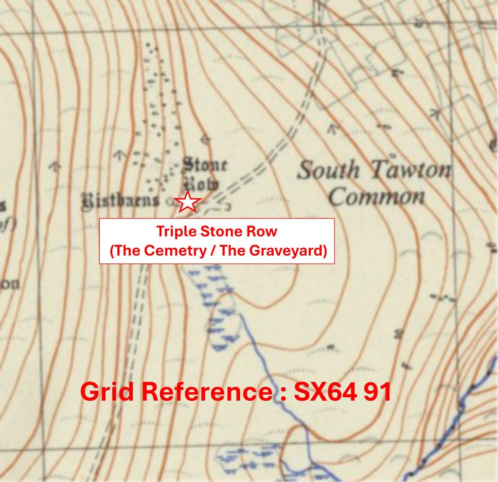
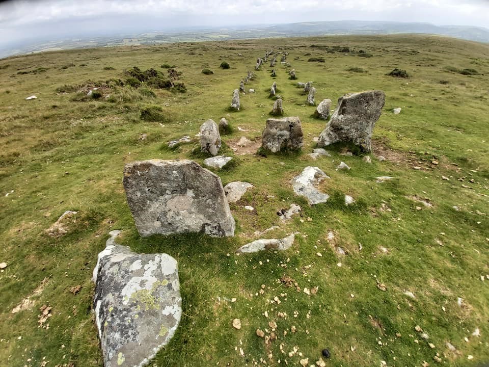
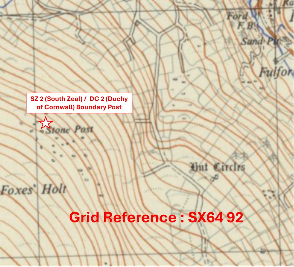
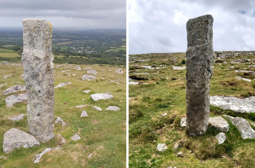
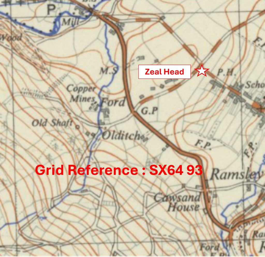
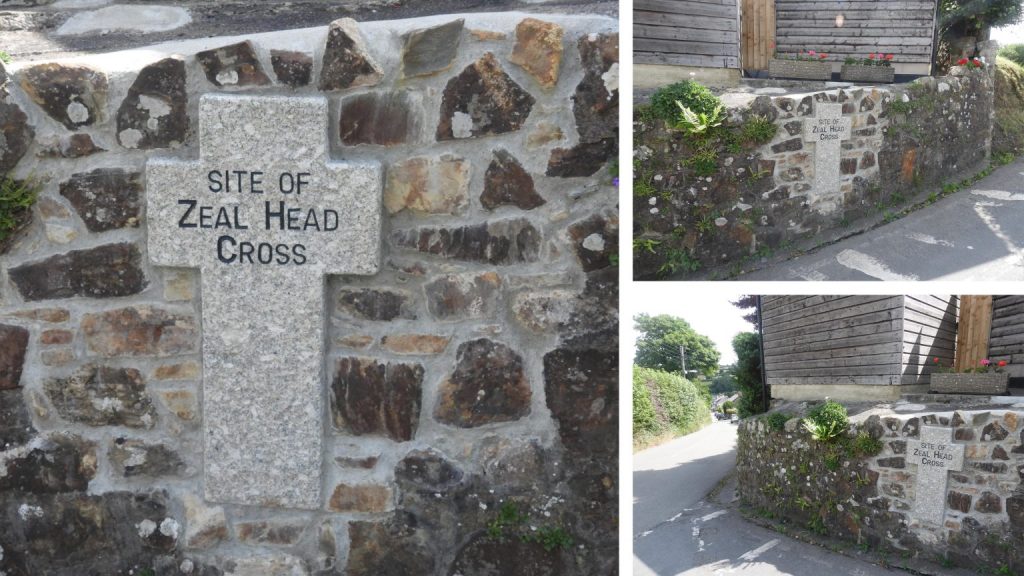
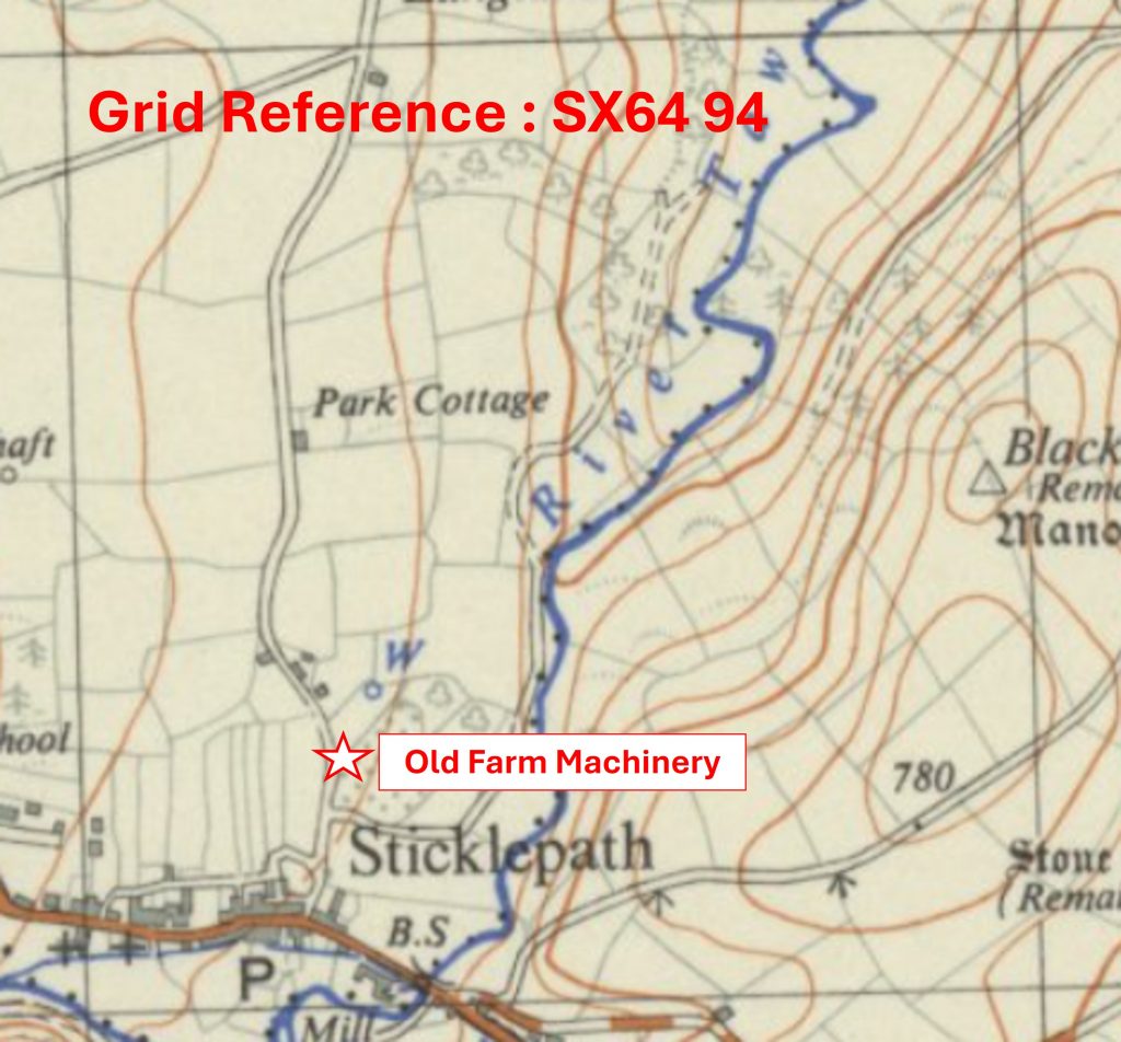
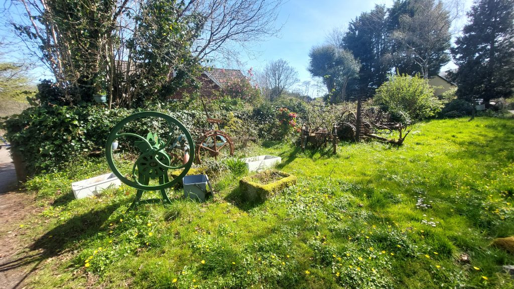
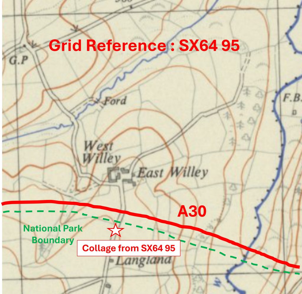
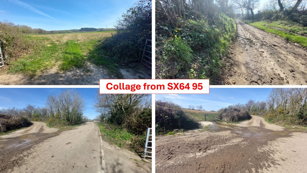
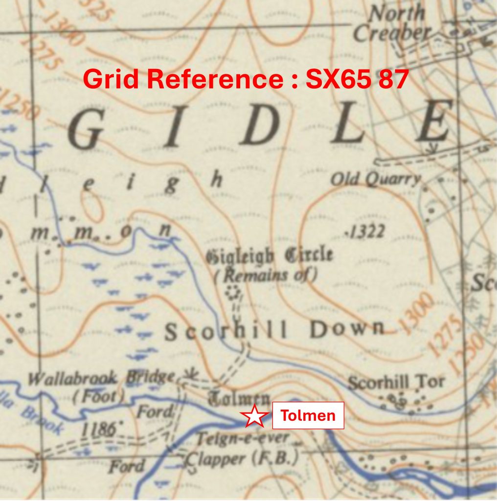
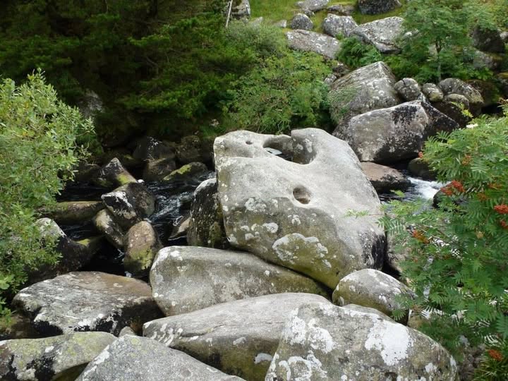
Grid Reference SX64 89. The item chosen to represent this square is Kennon Hill SummitGrid Reference SX64 89. Kennon Hill Summit is located at SX64229 89360Grid Reference SX64 90. The item chosen to represent this square is Bert Gratton’s HutGrid Reference SX64 90. Bert Gratton’s Hut is located at SX64347 90058Grid Reference SX64 91. The item chosen to represent this square is Triple Stone Row (The Cemetry / The Graveyard)Grid Reference SX64 91. The Triple Stone Row (The Cemetry / The Graveyard) is centred at SX643 916Grid Reference SX64 92. The item chosen to represent this square is SZ 2 (South Zeal) / DC 2 (Duchy of Cornwall) Boundary PostGrid Reference SX64 92. The SZ 2 (South Zeal) / DC 2 (Duchy of Cornwall) Boundary Post is located at SX64031 92544Grid Reference SX64 93. The item chosen to represent this square is Zeal HeadGrid Reference SX64 93. Zeal Head is located at SX64816 93758Grid Reference SX62 94. The item chosen to represent this square is some Old Farm Machinery located on a grass verge in a lane to the north of Sticklepath. Grid Reference SX62 94. The Old Farm Machinery located on a grass verge in a lane to the north of Sticklepath is located at SX64267 94254Grid Reference SX64 95. This is a part square just within the northern boundary of Dartmoor National Park. There is very little to see on the public access part of this square, so it is represented by a collage of views from near the A30 overbridge leading to Willey FarmGrid Reference SX64 95. This is a part square just within the northern boundary of Dartmoor National Park. The collage of views from near the A30 overbridge leading to Willey Farm were taken at SX64358 95175Grid Reference SX65 87. The item chosen to represent this square is the Tolmen next to the Teign
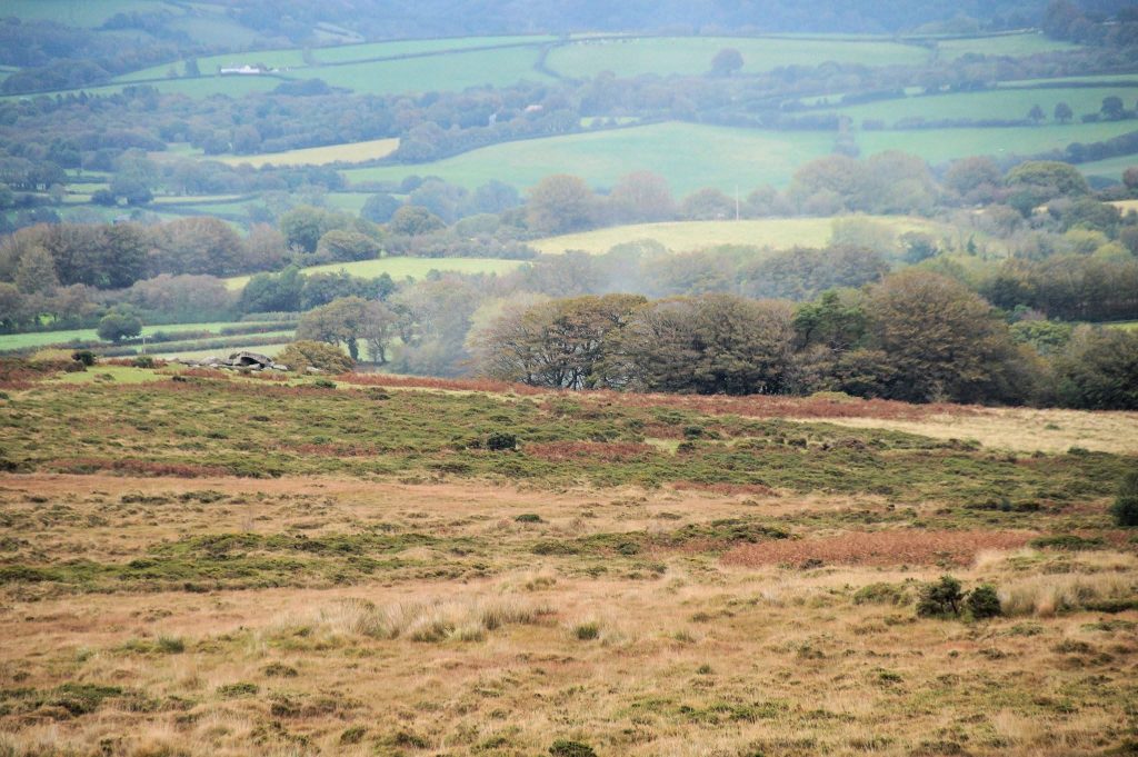
Grid Reference SX65 87. The Tolmen next to the Teign is located at SX6550 8707
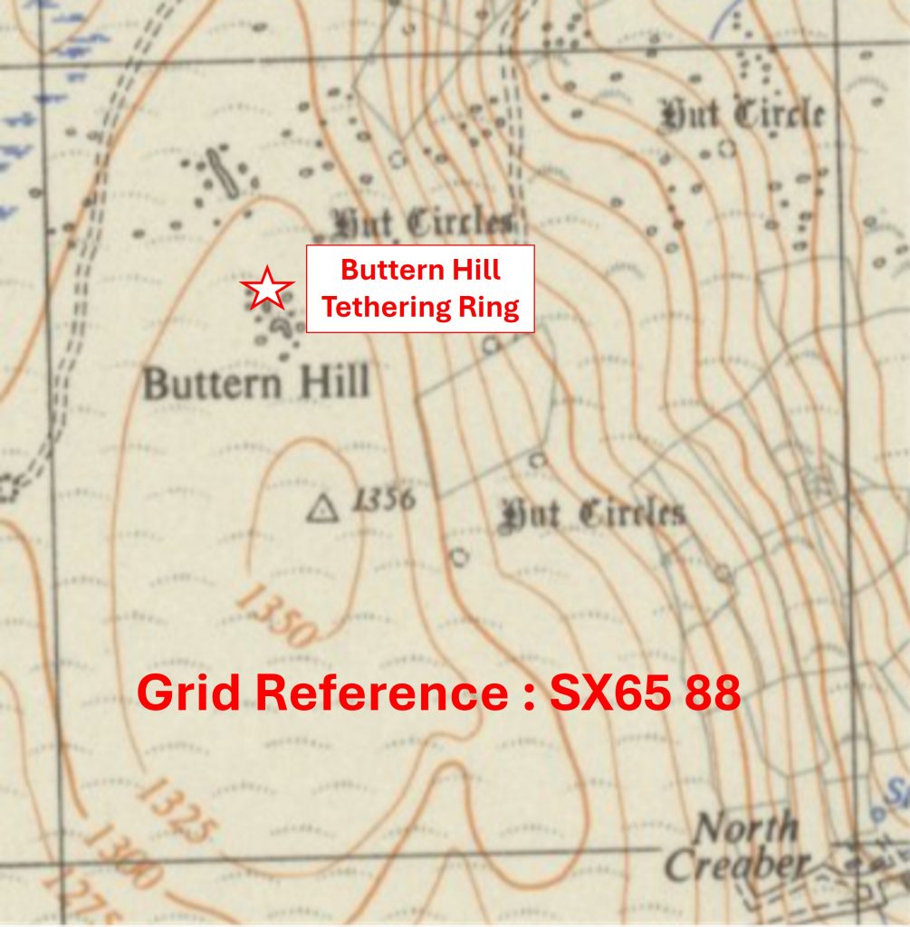
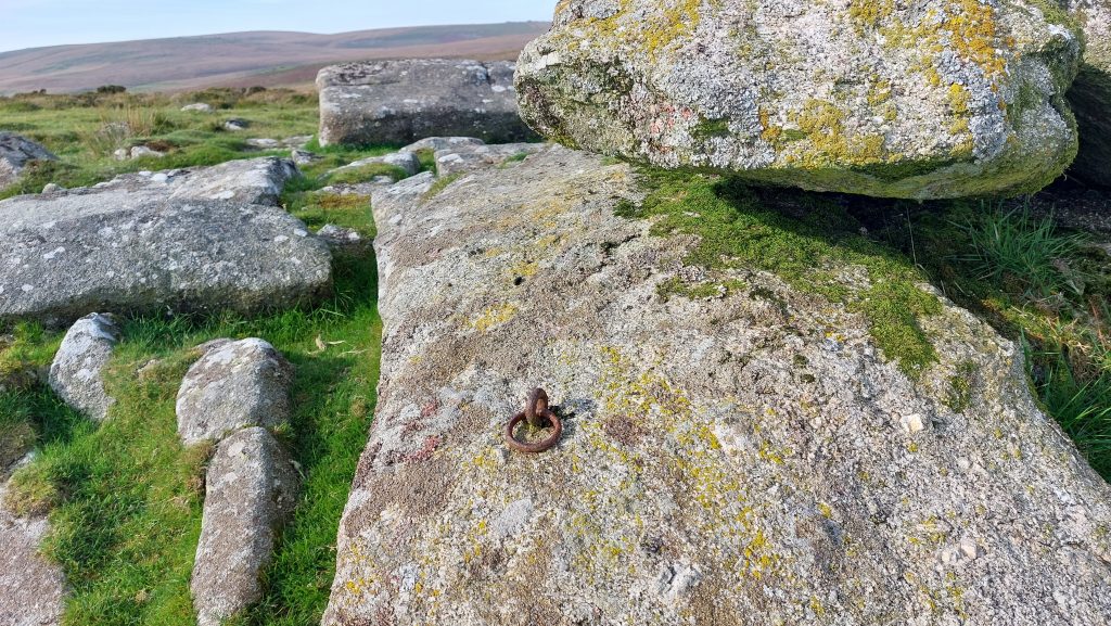
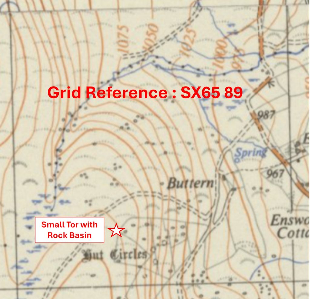
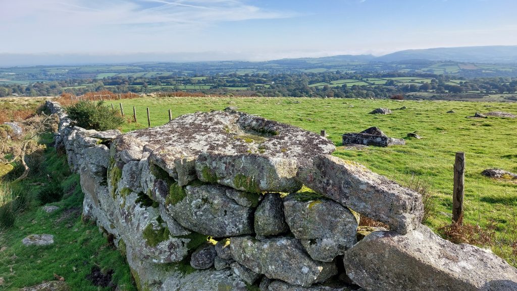
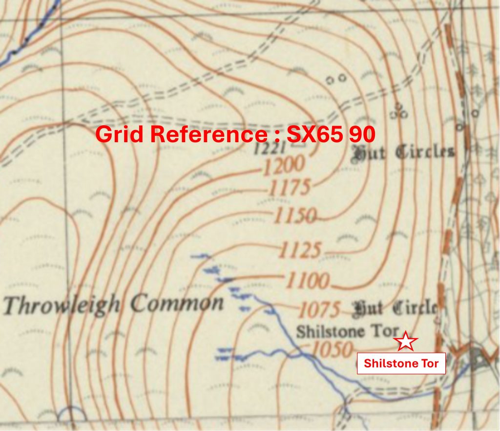
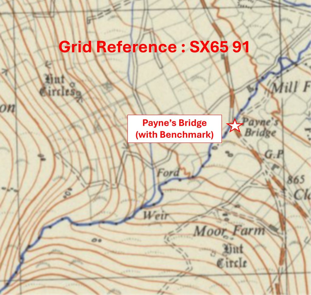
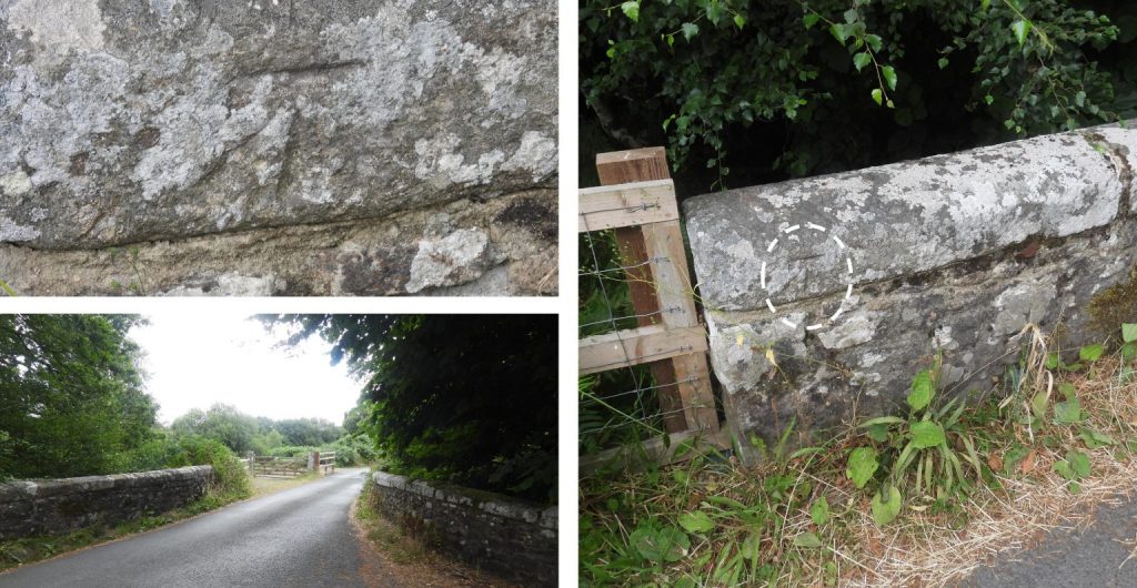
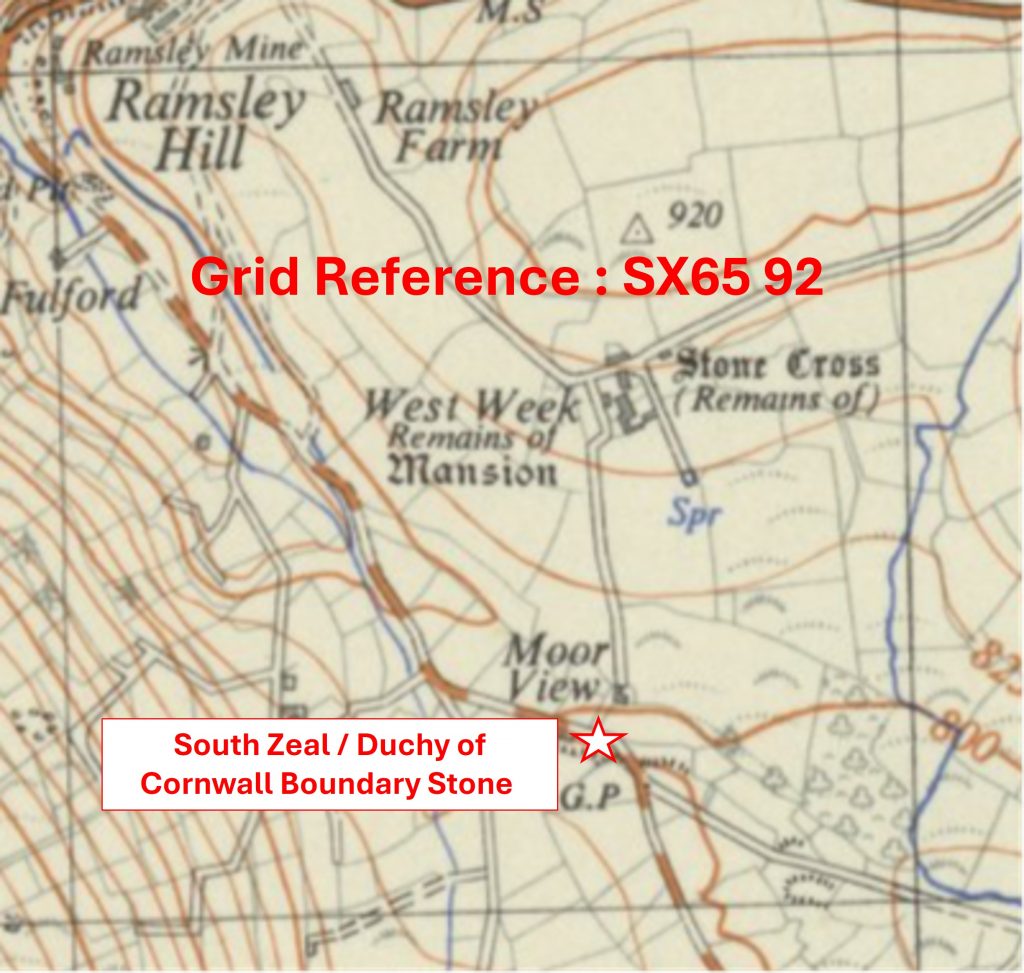
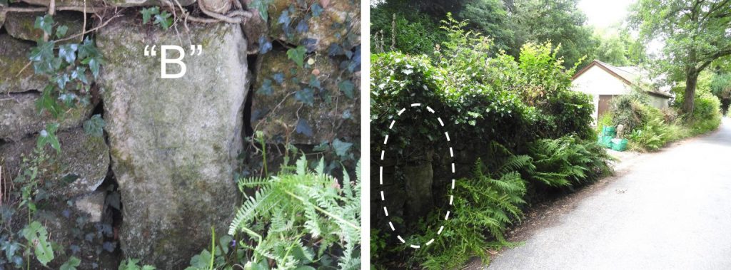
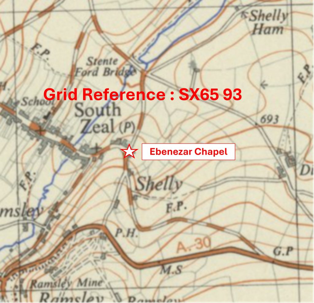
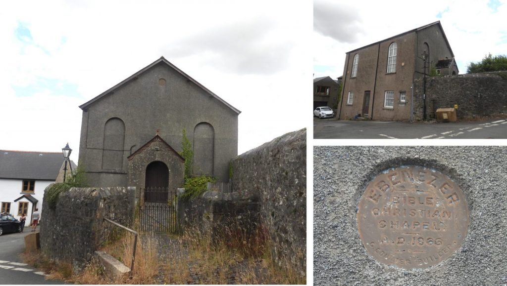
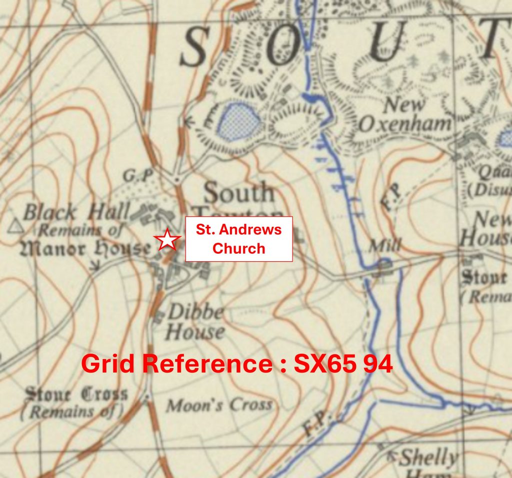
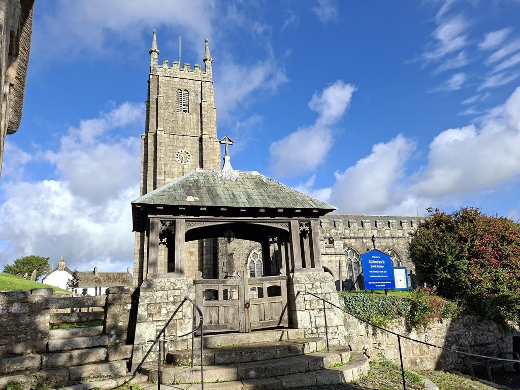
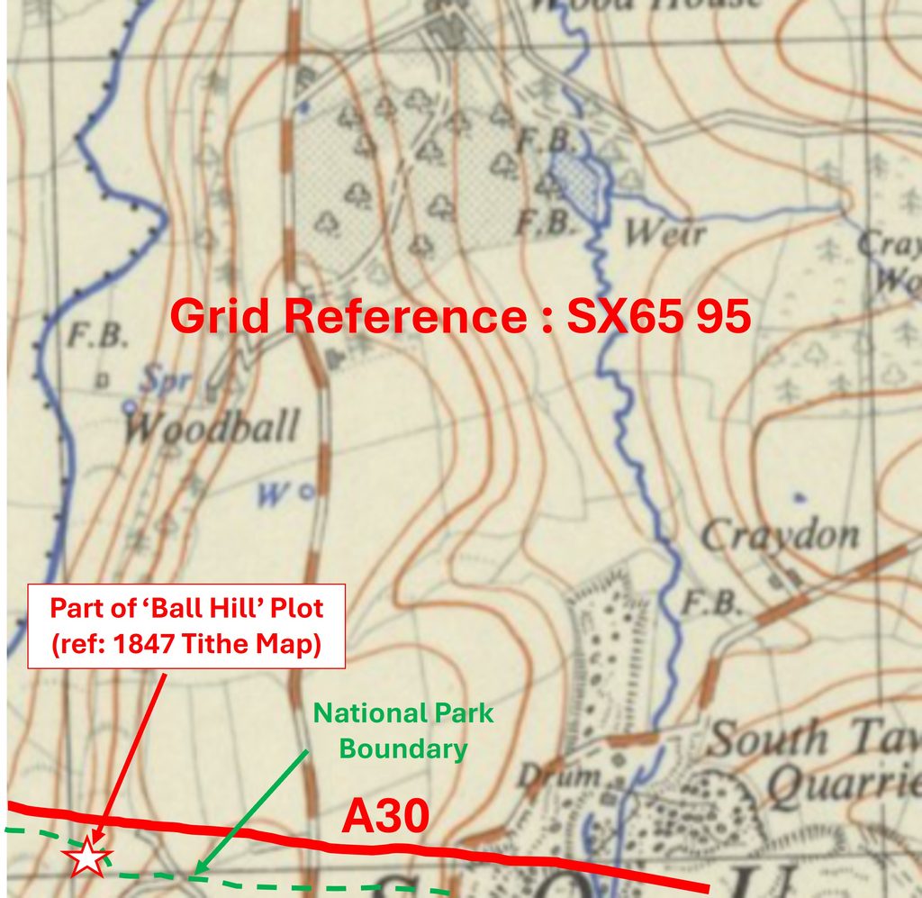
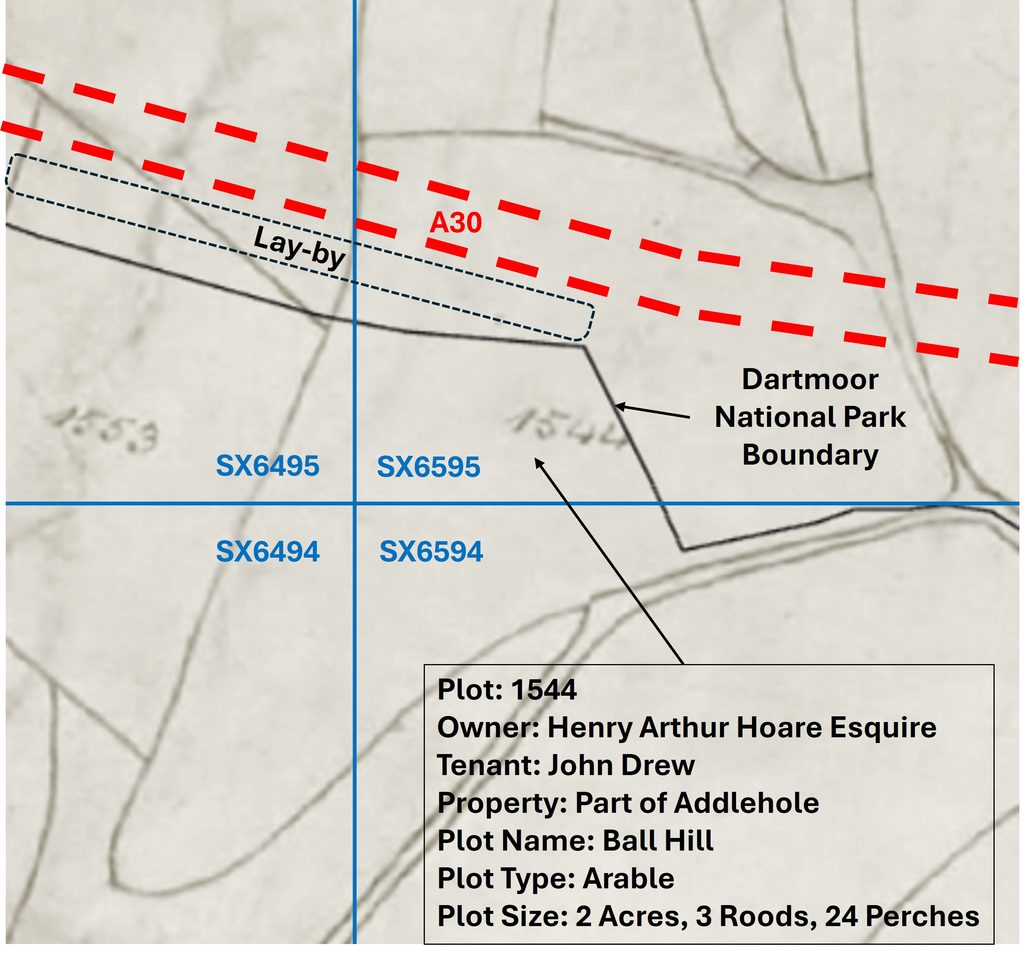
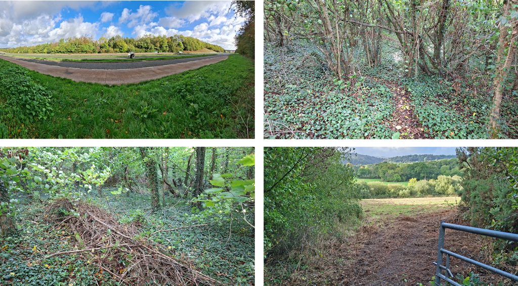
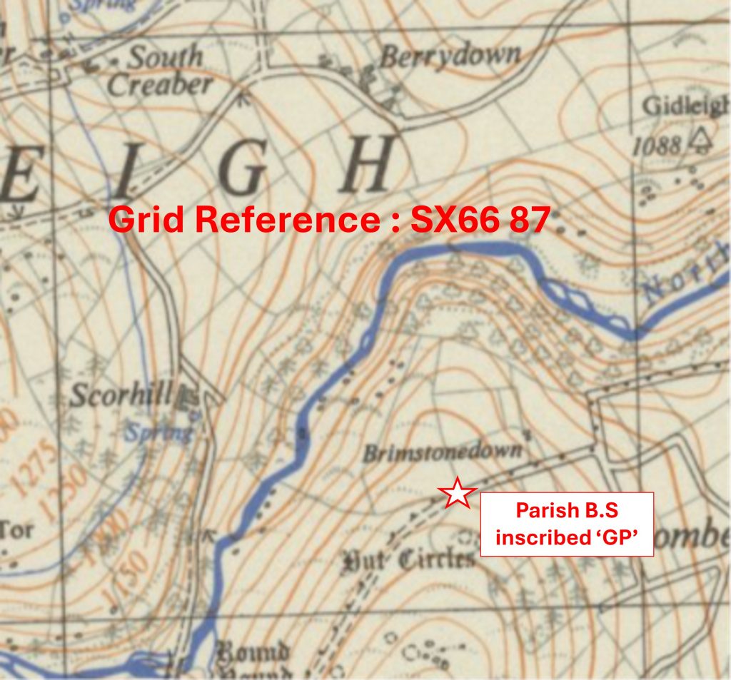
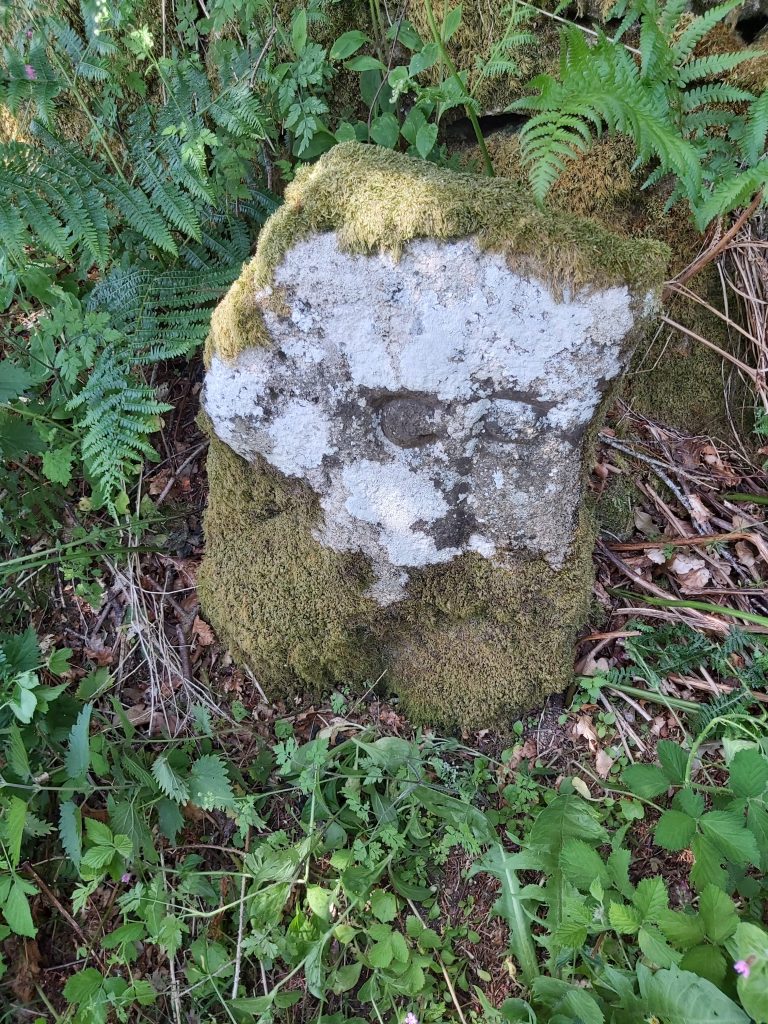
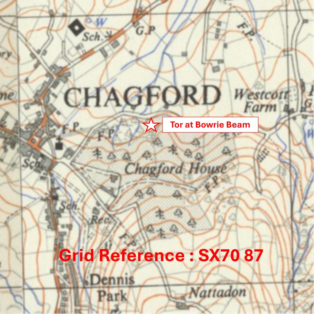
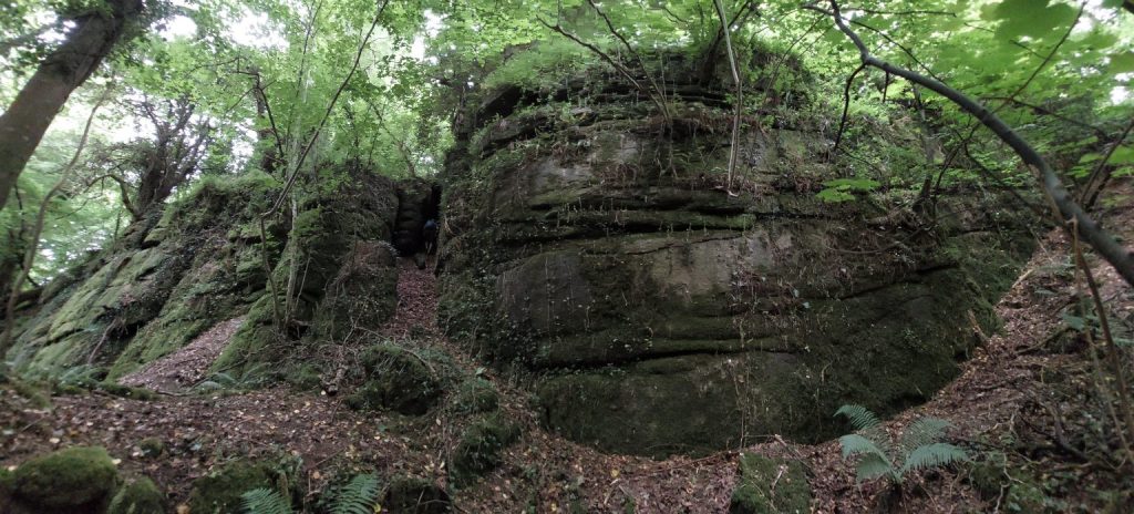
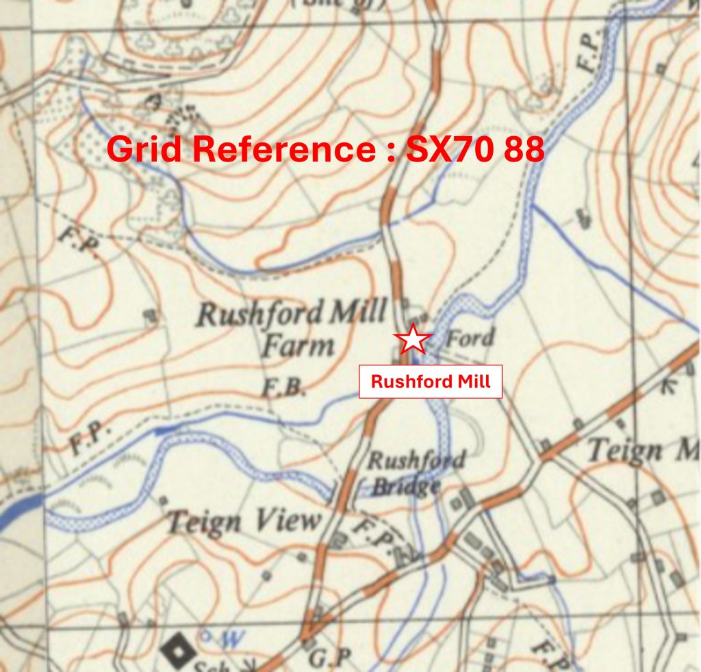
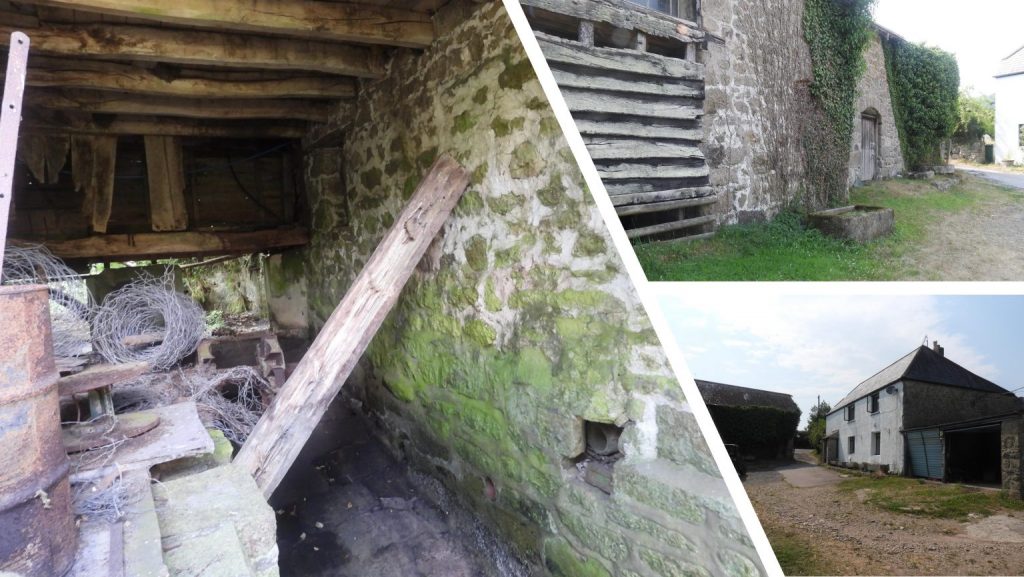
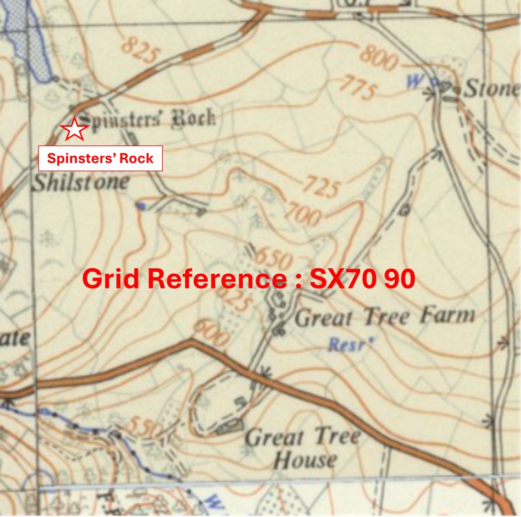
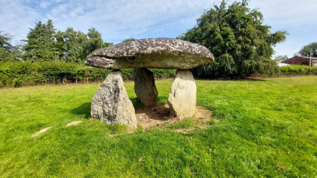
Grid Reference SX65 88. The item chosen to represent this square is Buttern Hill Tethering RingGrid Reference SX65 88. The Buttern Hill Tethering Ring is located at SX6528 8871Grid Reference SX65 89. The item chosen to represent this square is a Small Tor with Rock BasinGrid Reference SX65 89. The Small Tor with Rock Basin is located at SX6536 8920Grid Reference SX65 90. The item chosen to represent this square is Shilstone TorGrid Reference SX65 90. Shilstone Tor is located at SX65829 90192Grid Reference SX65 91. The item chosen to represent this square is Payne’s Bridge (with Benchmark)Grid Reference SX65 91. Payne’s Bridge (with Benchmark) is located at SX65796 91573Grid Reference SX65 92. The item chosen to represent this square is South Zeal / Duchy of Cornwall Boundary StoneGrid Reference SX65 92. The South Zeal / Duchy of Cornwall Boundary Stone is located at SX65617 92193Grid Reference SX65 93. The item chosen to represent this square is Ebenezar ChapelGrid Reference SX65 93. Ebenezar Chapel is located at SX65402 93500Grid Reference SX65 94. The item chosen to represent this square is St. Andrews Church, South TawtonGrid Reference SX65 94. St. Andrews Church is located at SX65306 94486Grid Reference SX65 95. The item chosen to represent this square is a Part of ‘Ball Hill’ Plot (ref: 1847 Tithe Map)Grid Reference SX65 95. The item chosen to represent this square is a Part of ‘Ball Hill’ Plot (ref: 1847 Tithe Map). The above annotated Tithe Map indicates where the very tiny section of the National Park Boundary is located in relation to the modern A30 and a laybyGrid Reference SX65 95. The above collage of Part of ‘Ball Hill’ Plot (ref: 1847 Tithe Map) shows: Top Left (A30 Layby where access to the tiny portion of the square can be made), Top Right (small copse at SX65004 95023), Bottom Right (View from gate at Lay-by at SX65002 95030) and Bottom Right (small copse at SX65012 95007).Grid Reference SX66 87. The item chosen to represent this square is a Parish B.S inscribed ‘GP’
Grid Reference SX66 87. The Parish B.S inscribed ‘GP’ is located at SX66693 87207
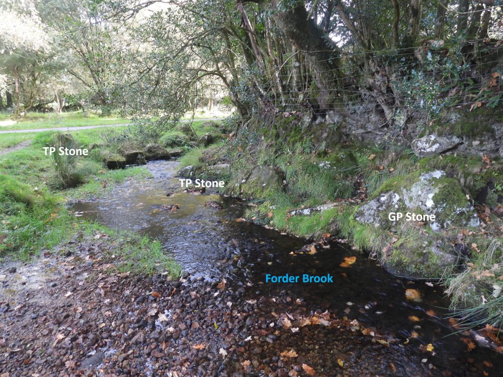
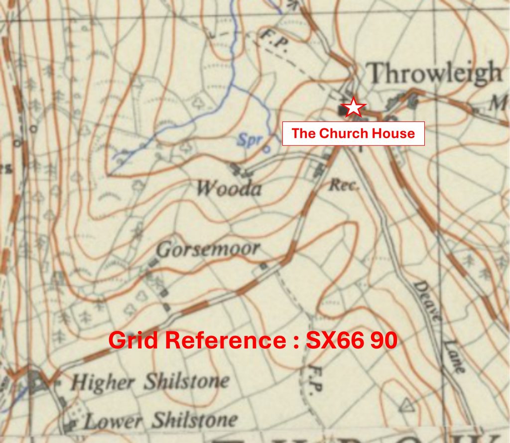
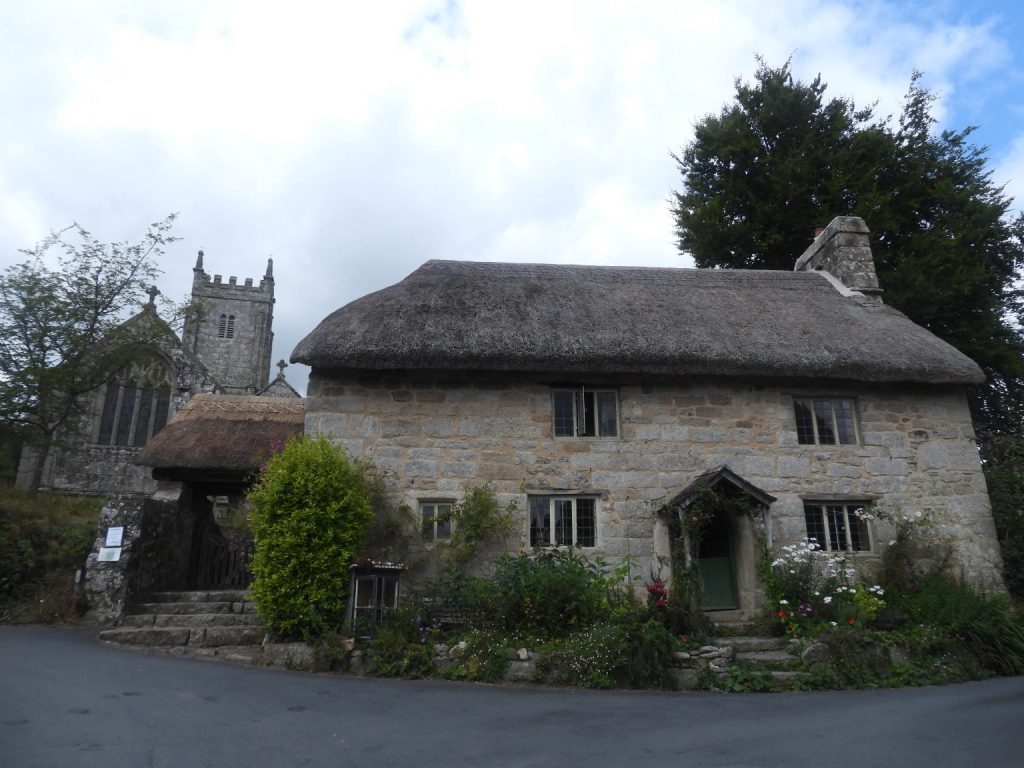
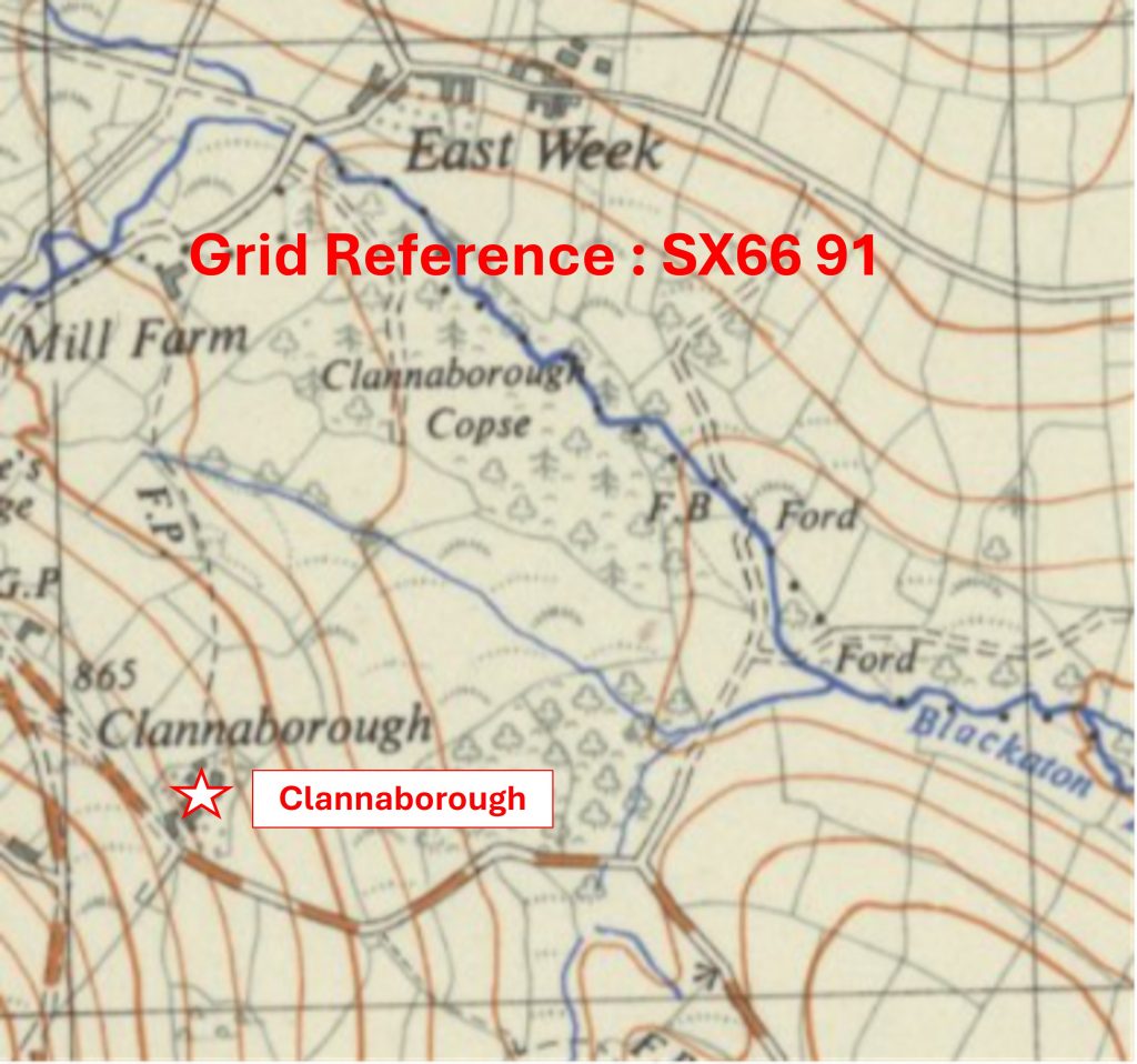
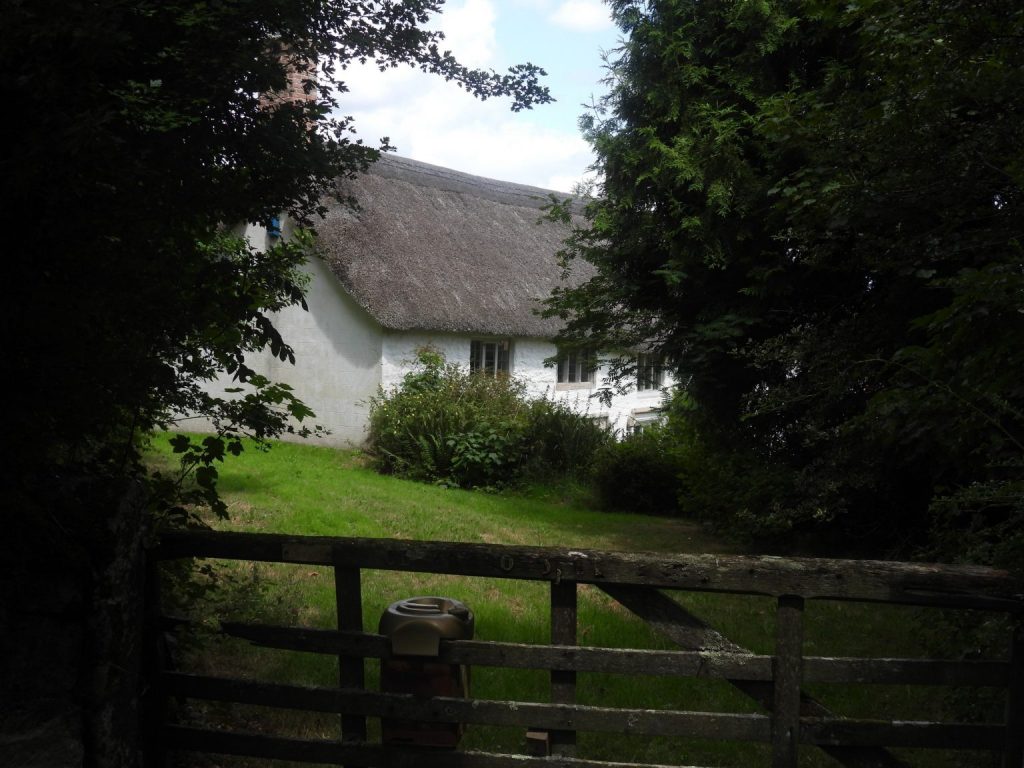
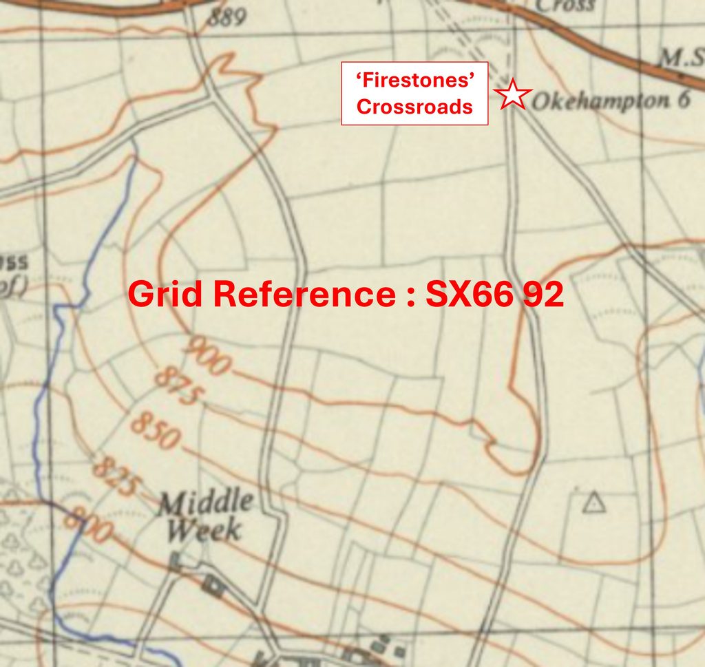
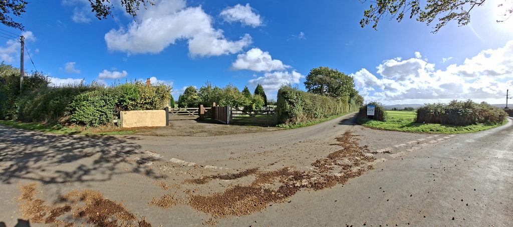
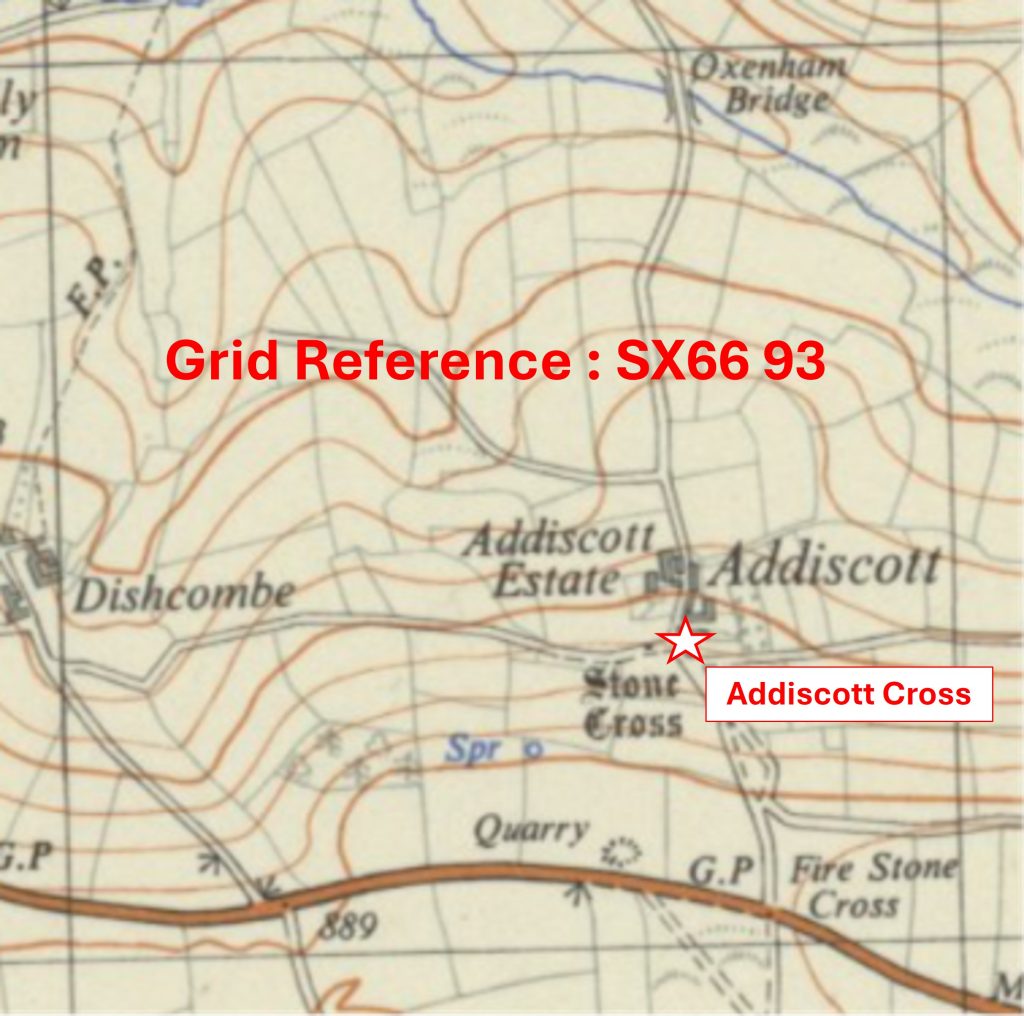
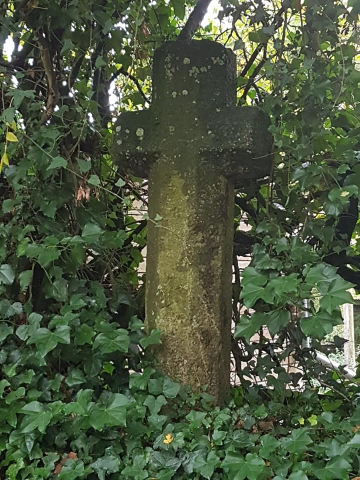
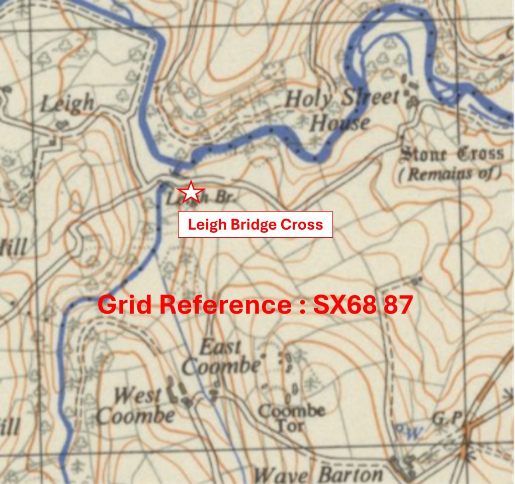
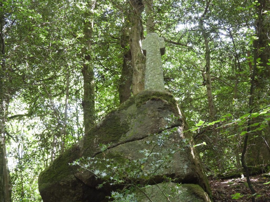
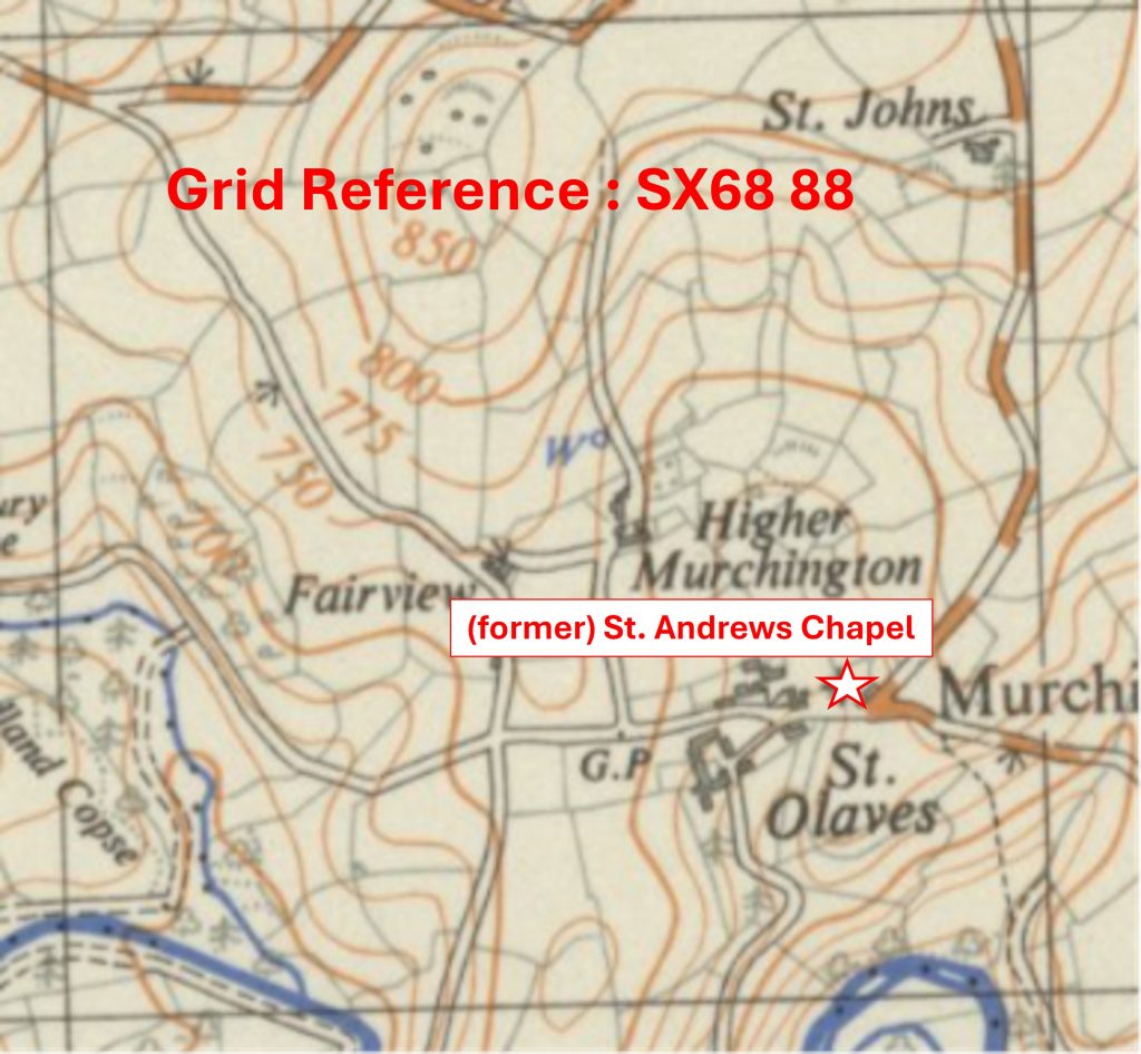
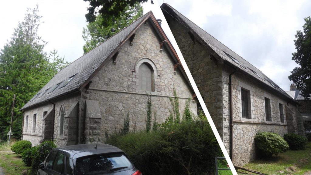
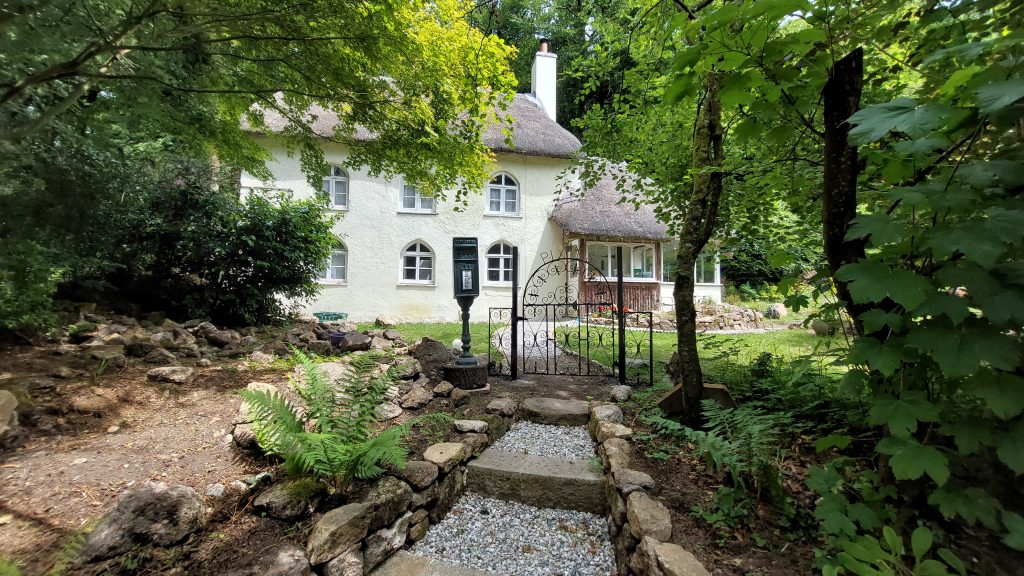
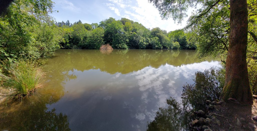
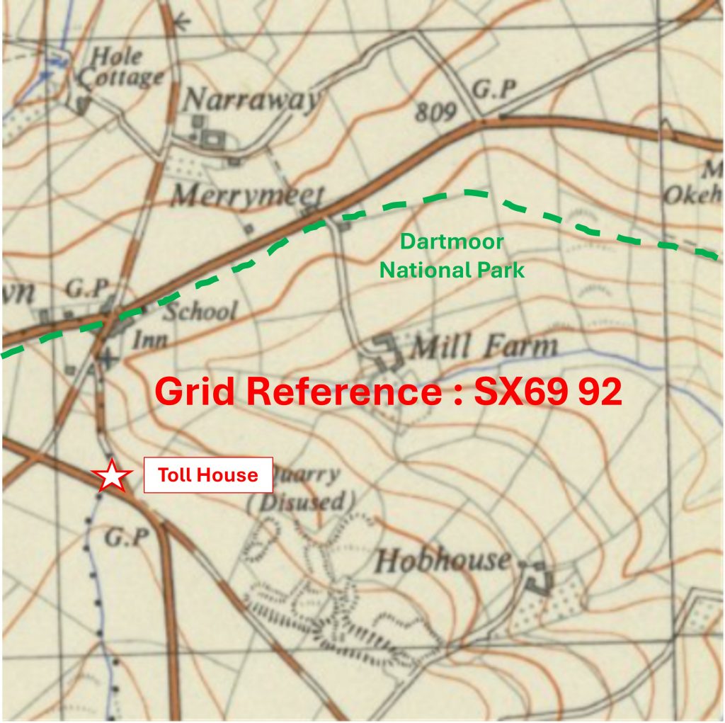
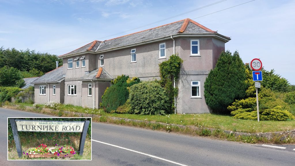
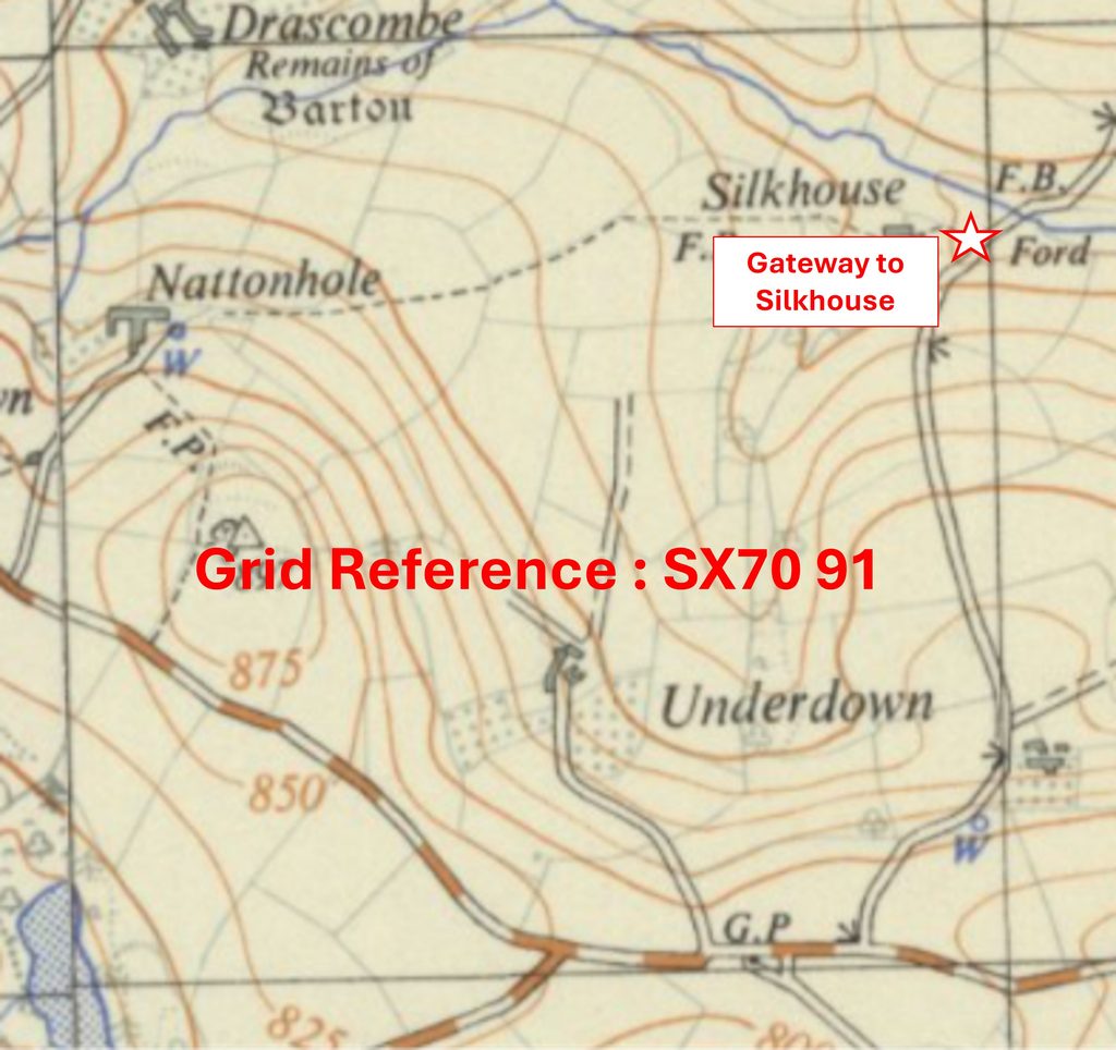
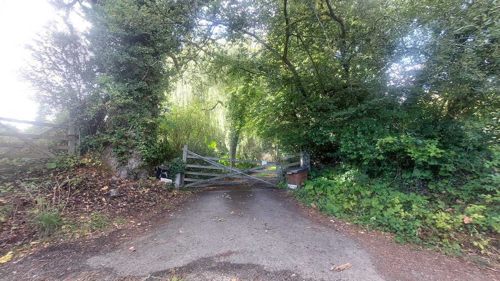
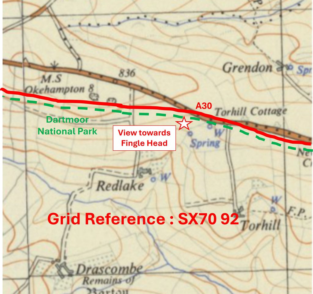
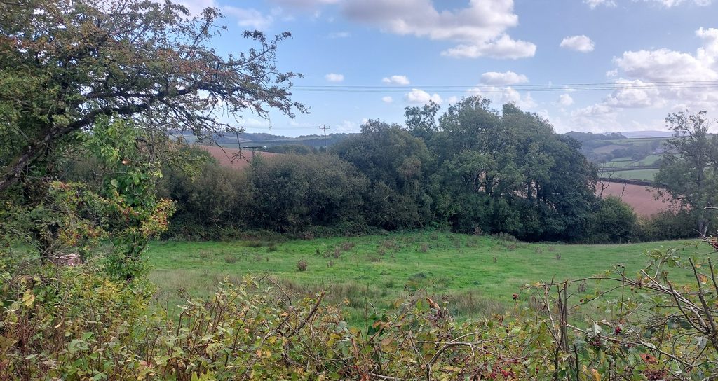
Grid Reference SX66 88. The item chosen to represent this square is Chapel a La WollenGrid Reference SX66 88. Chapel a La Wollen is located at SX66928 88943Grid Reference SX66 89. The item chosen to represent this square are Three Inscribed Parish Stones (Two ‘TP’ and One ‘GP’)Grid Reference SX66 89. The Three Inscribed Parish Stones (Two ‘TP’ and One ‘GP’) are located at SX662 898Grid Reference SX66 90. The item chosen to represent this square is The Church HouseGrid Reference SX66 90. The Church House is located at SX66798 90781Grid Reference SX66 91. The item chosen to represent this square is ClannaboroughGrid Reference SX66 91. Clannaborough is located at SX6612 9122Grid Reference SX66 92. The item chosen to represent this square is ‘Firestones’ CrossroadsGrid Reference SX66 92. ‘Firestones’ Crossroads is located at SX66779 92886Grid Reference SX66 93. The item chosen to represent this square is Addiscott Cross
Grid Reference SX66 93. Addiscott Cross is located at SX66669 93343
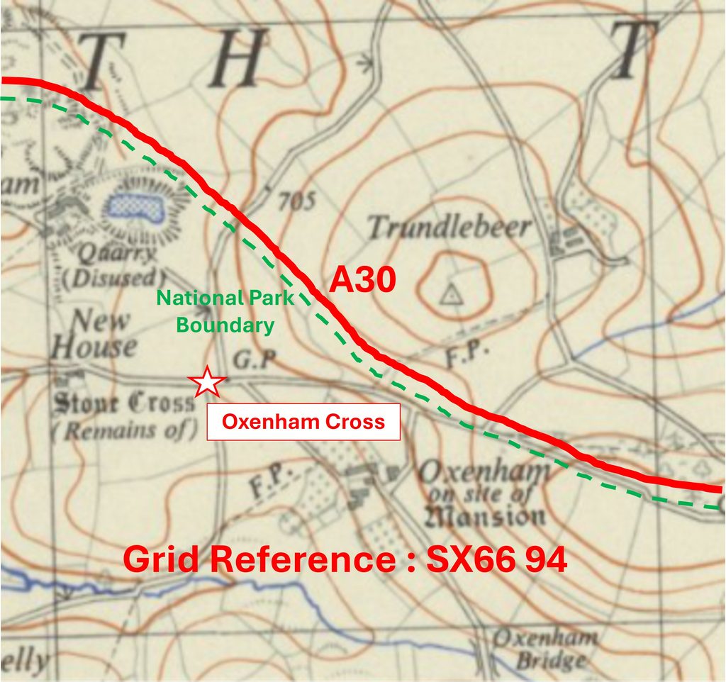
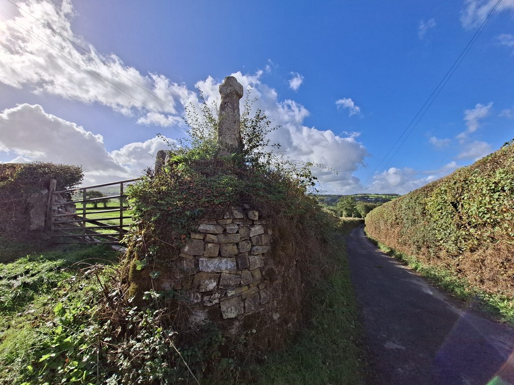
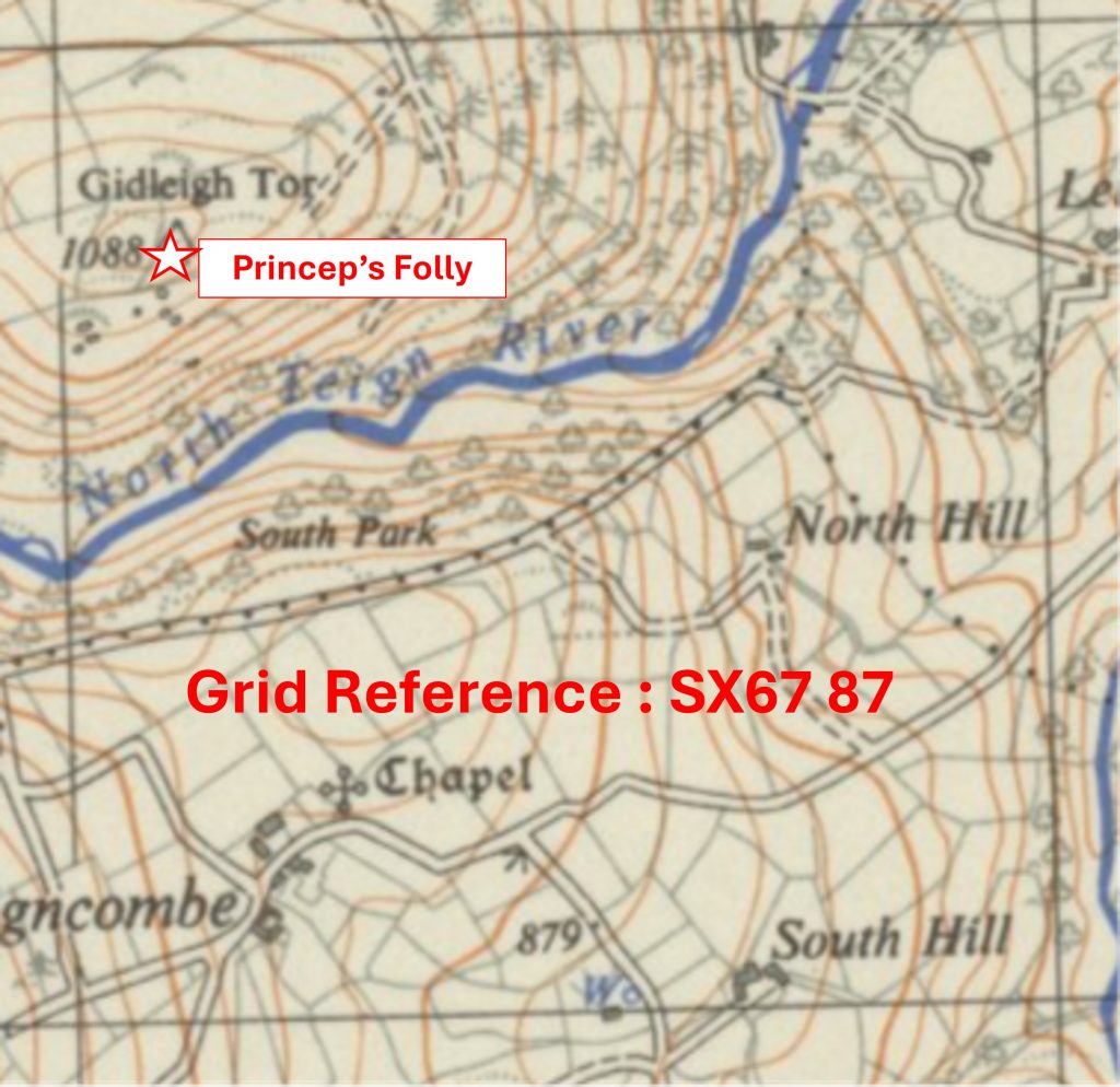
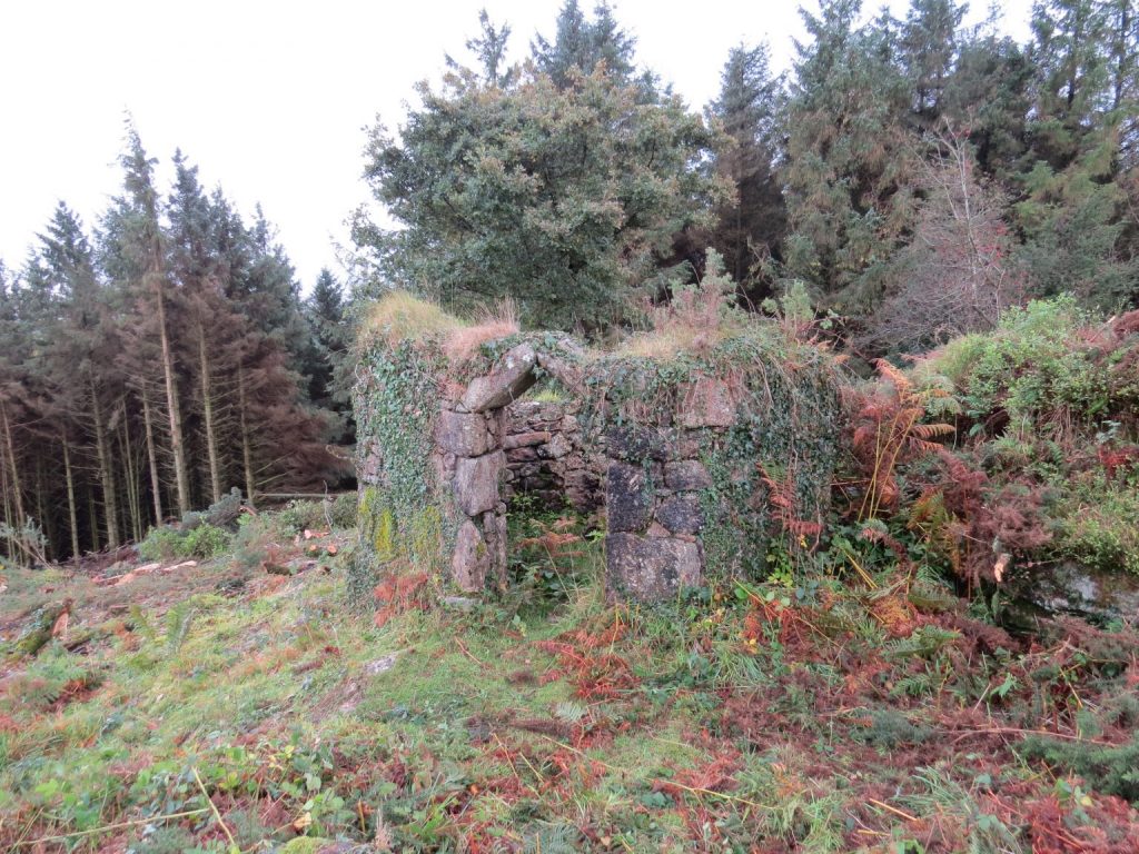
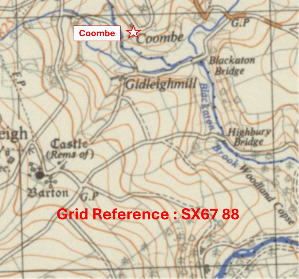
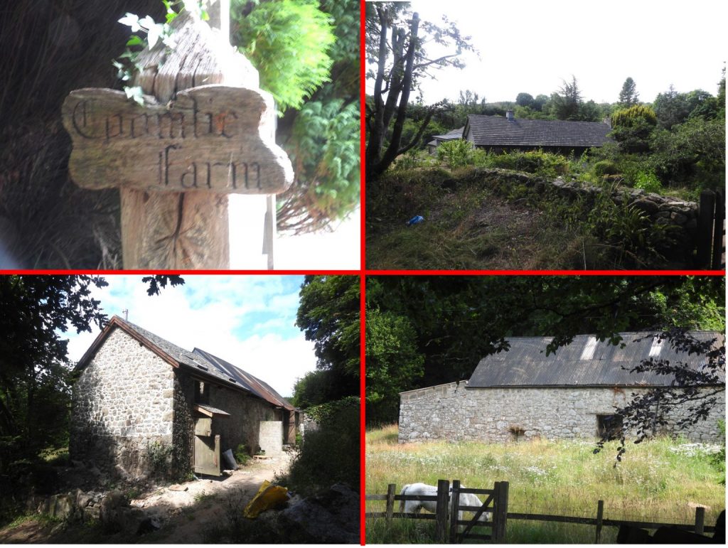
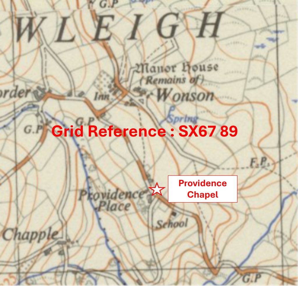
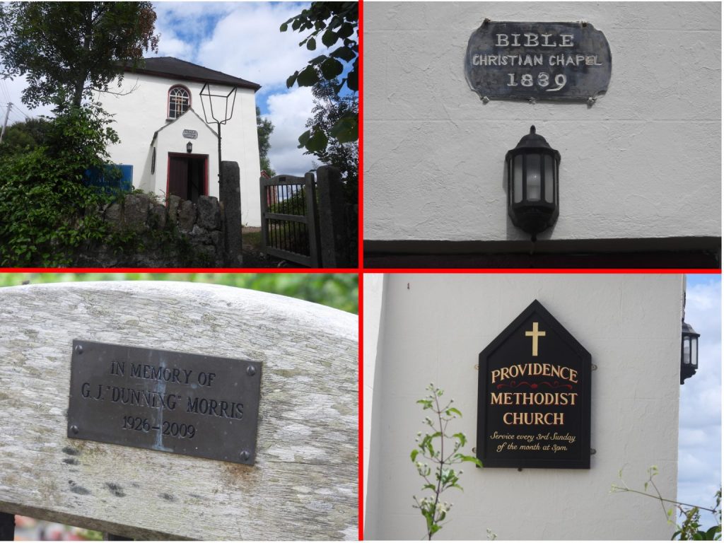
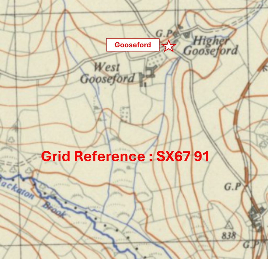
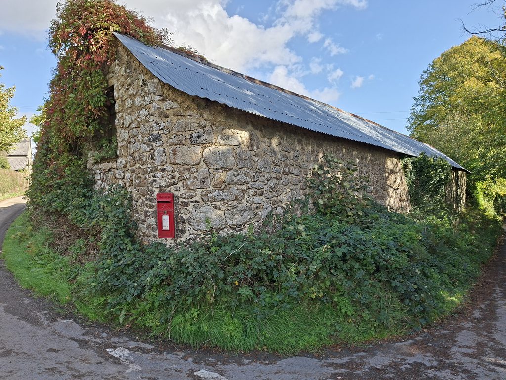
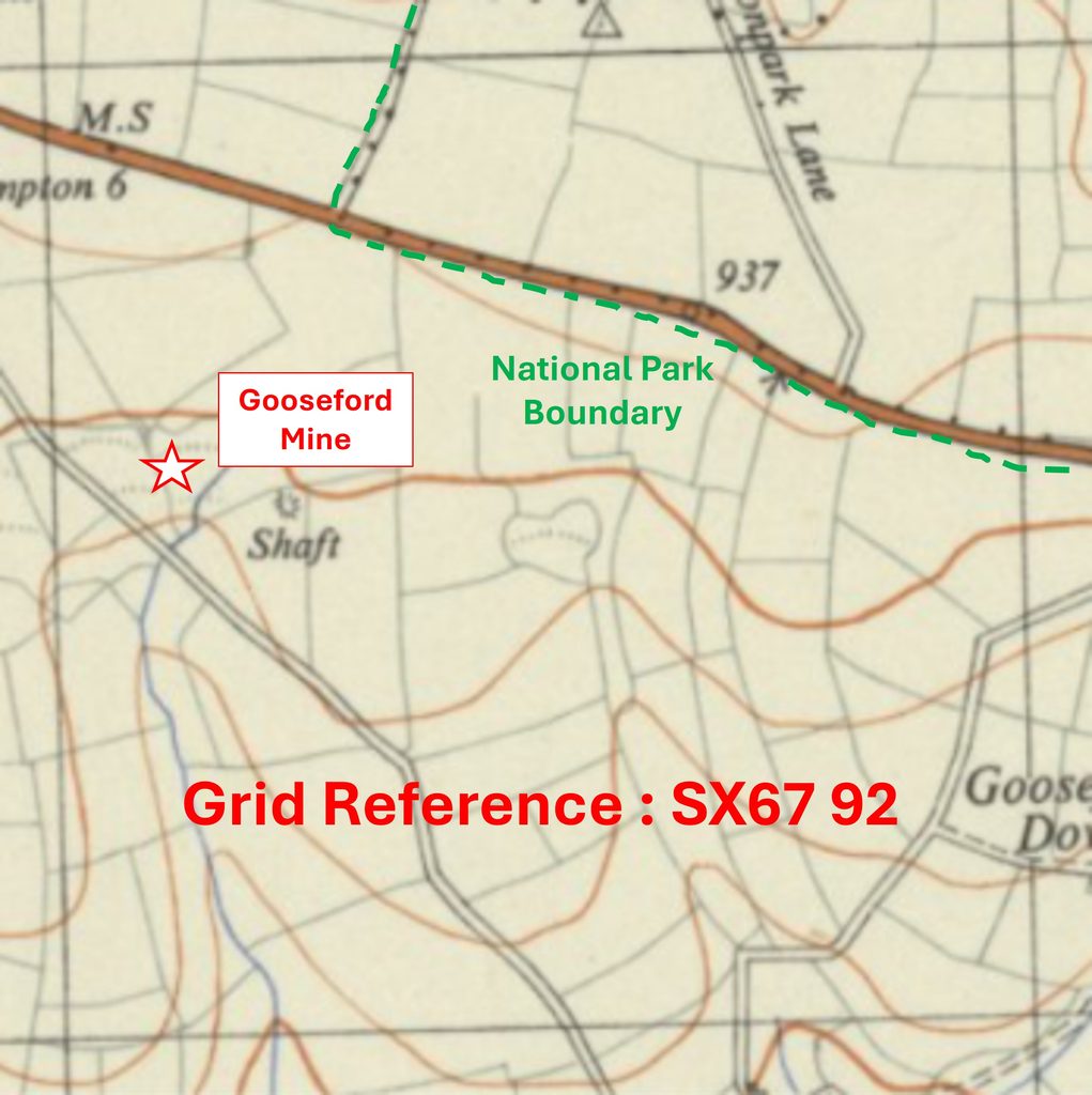
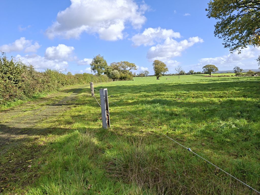
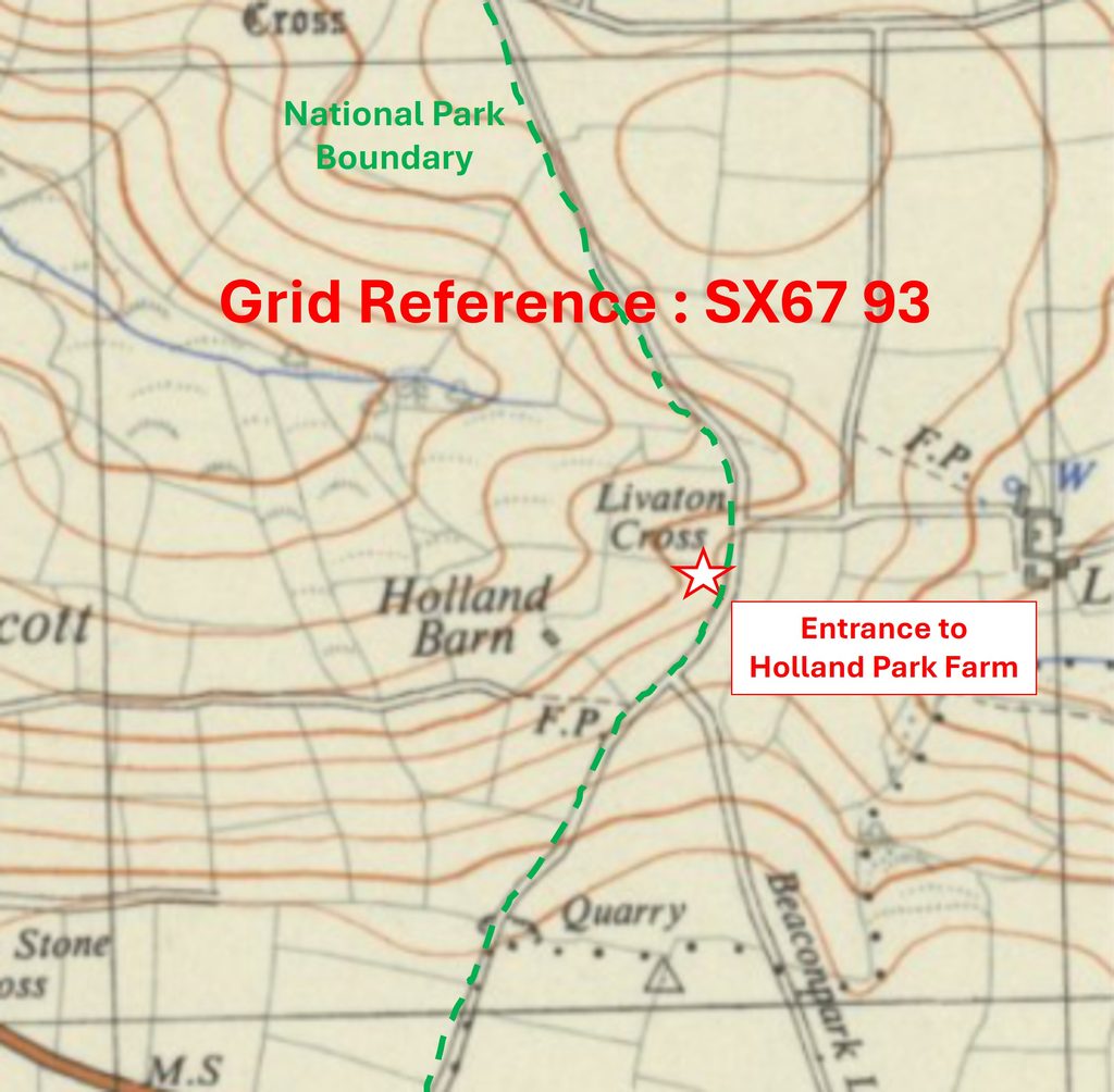
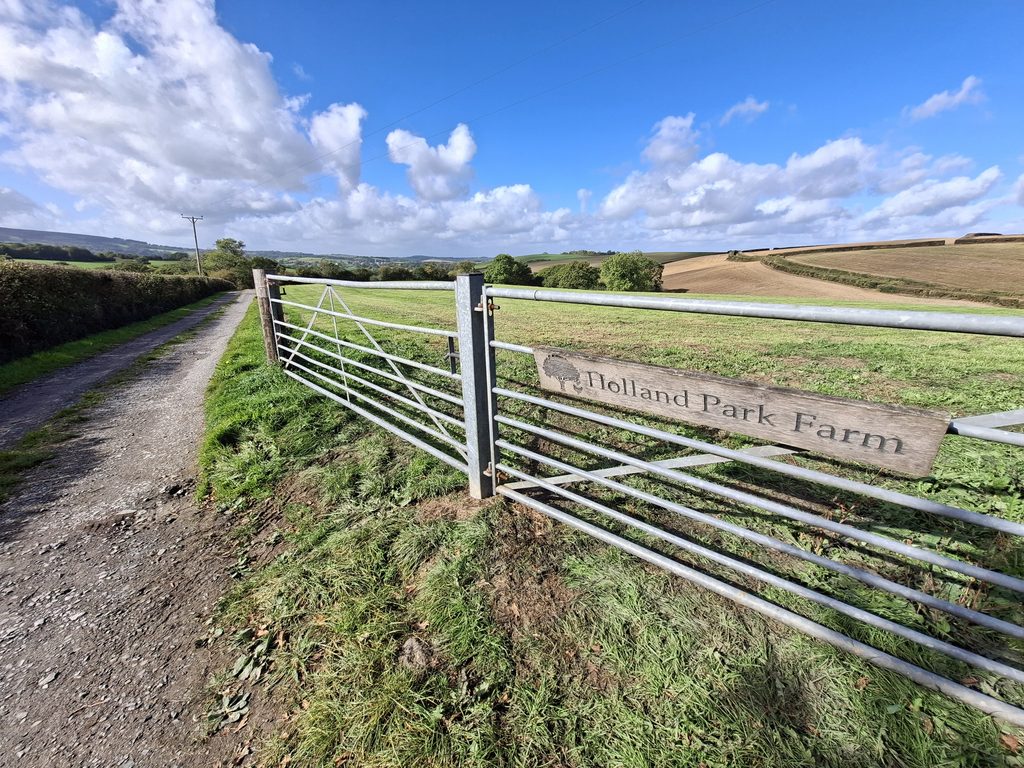
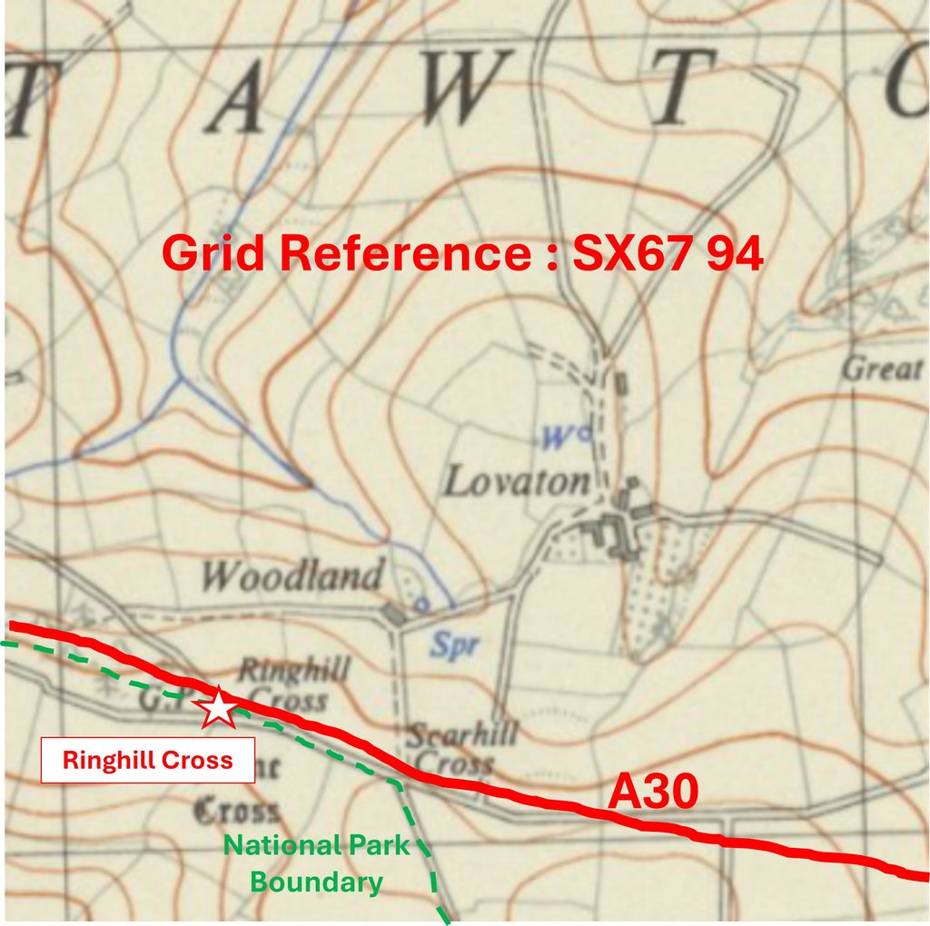
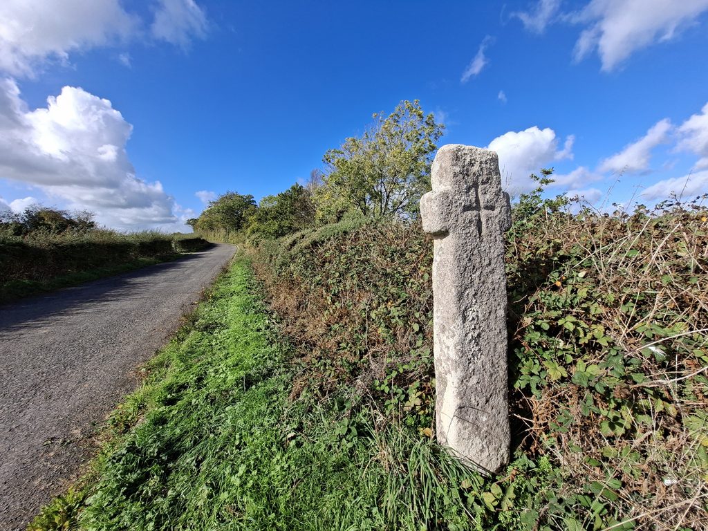
Grid Reference SX66 94. The item chosen to represent this square is Oxenham CrossGrid Reference SX66 94. Oxenham Cross is located at SX66253 94411Grid Reference SX67 87. The item chosen to represent this square is Pincep’s FollyGrid Reference SX67 87. Pincep’s Folly is located at SX67101 87778Grid Reference SX67 88. The item chosen to represent this square is CoombeGrid Reference SX67 88. Coombe is located at SX6745 8893Grid Reference SX67 89. The item chosen to represent this square is Providence ChapelGrid Reference SX67 89. Providence Chapel is located at SX67518 89313Grid Reference SX67 91. The item chosen to represent this square is GoosefordGrid Reference SX67 91. Gooseford (crossroads) is located at SX67634 91854Grid Reference SX67 92. The item chosen to represent this square is Gooseford Mine (site of)Grid Reference SX67 92. Gooseford Mine (site of) is centred around SX6714 9255Grid Reference SX67 93. The item chosen to represent this square is the Entrance to Holland Park FarmGrid Reference SX67 93. The Entrance to Holland Park Farm is located at SX6763693472Grid Reference SX67 94. The item chosen to represent this square is Ringhill CrossGrid Reference SX67 94. Ringhill Cross is located at SX67210 94154Grid Reference SX68 87. The item chosen to represent this square is Leigh Bridge CrossGrid Reference SX68 87. Leigh Bridge Cross is located at SX68352 87557Grid Reference SX68 88. The item chosen to represent this square is (former) St. Andrews ChapelGrid Reference SX68 88. The (former) St. Andrews Chapel is located at SX68794 88307Grid Reference SX68 91. The item chosen to represent this square is East AshGrid Reference SX68 91. East Ash is located at SX6803 9109Grid Reference SX68 92. The item chosen to represent this square is Greenland CottageGrid Reference SX68 92. Greenland Cottage is located at SX68823 92378Grid Reference SX69 87. The item chosen to represent this square is Moorlands (the old Town Mill)Grid Reference SX69 87. Moorlands (the old Town Mill) is located at SX6992 8757Grid Reference SX69 88. The item chosen to represent this square is Footpath to War Cleave WoodsGrid Reference SX69 88. The Footpath to War Cleave Woods is located at SX69330 88032Grid Reference SX69 90. The item chosen to represent this square is Pixie’s CottageGrid Reference SX69 90. Pixie’s Cottage is located at SX69809 90277Grid Reference SX69 91. The item chosen to represent this square is Bradford PoolGrid Reference SX69 91. Bradford Pool (view in photograph) is located at SX69958 91014Grid Reference SX69 92. This is a part square. The item chosen to represent this square is a Toll HouseGrid Reference SX69 92. This is a part square. The Toll House is located at SX69110 92270Grid Reference SX70 87. The item chosen to represent this square is a Tor at Bowrie BeamGrid Reference SX70 87. The Tor at Bowrie Beam is located at SX7048 8759Grid Reference SX70 88. The item chosen to represent this square is Rushford MillGrid Reference SX70 88. Rushford Mill is located at SX7062 8847Grid Reference SX70 90. The item chosen to represent this square is Spinsters’ RockGrid Reference SX70 90. Spinsters’ Rock is located at SX70089 90775Grid Reference SX70 91. The item chosen to represent this square is the ‘Gateway to Silkhouse’Grid Reference SX70 91. ‘Gateway to Silkhouse’ is located at SX7097191776Grid Reference SX70 92. The item chosen to represent this square is ‘View towards Fingle Head’Grid Reference SX70 92. The ‘View towards Fingle Head’ (tree line) was taken at SX70587 92578