A collection of walks, discoveries, insights and pictures of exploring Dartmoor National Park
October 15, 2026
Gooseford Mine
About ½ mile N.W of the tiny hamlet of Higher Gooseford, in the parish of South Tawton, adjacent to a very quiet country lane there was once a small mine which has variously been recorded as being called West Gooseford, Throwleigh or even Fortune Mine. The mine is stated as having extracted Copper, Arsenic and Tin. It is centred around grid reference SX672 925
There is very little recorded about the mine with Richardson (1992) providing the most comprehensive information in one paragraph of his book British mining volume 44, Mines of Dartmoor and the Tamar valley after 1913. He states that the mine had stopped in 1914, re-examined about 1916 before re-opening in 1918, when it was worked through until 1924. It was then mothballed for a year until 1925 on a care and maintenance basis. Richardson concludes that the dumps had been cleared away and removed by 1972. A record in ‘devoninfocus’ website suggests that mine had two shafts and an adit, working a copper-arsenic deposit with some tin.
With this minimal information, the author made a visit to the area, but due to the mine being on private land could only view from the public highway. It is fair to say that very little could be seen from the adjacent lane with the clearance from over 50 years ago seemingly having been very thorough. With this in mind the author has resorted to aerial photographs, an old map and a LiDAR plot to establish a little more information / interpretation.
Bibliography
P.H.G. Richardson – (1992) – British mining volume 44, Mines of Dartmoor and the Tamar valley after 1913, page 132
Helen Harris – (1968) – Industrial Archaeology of Dartmoor, page 222
H.G. Dines – (1956) – Metalliferous Mining Region of South West England Vol 2 – pages 57
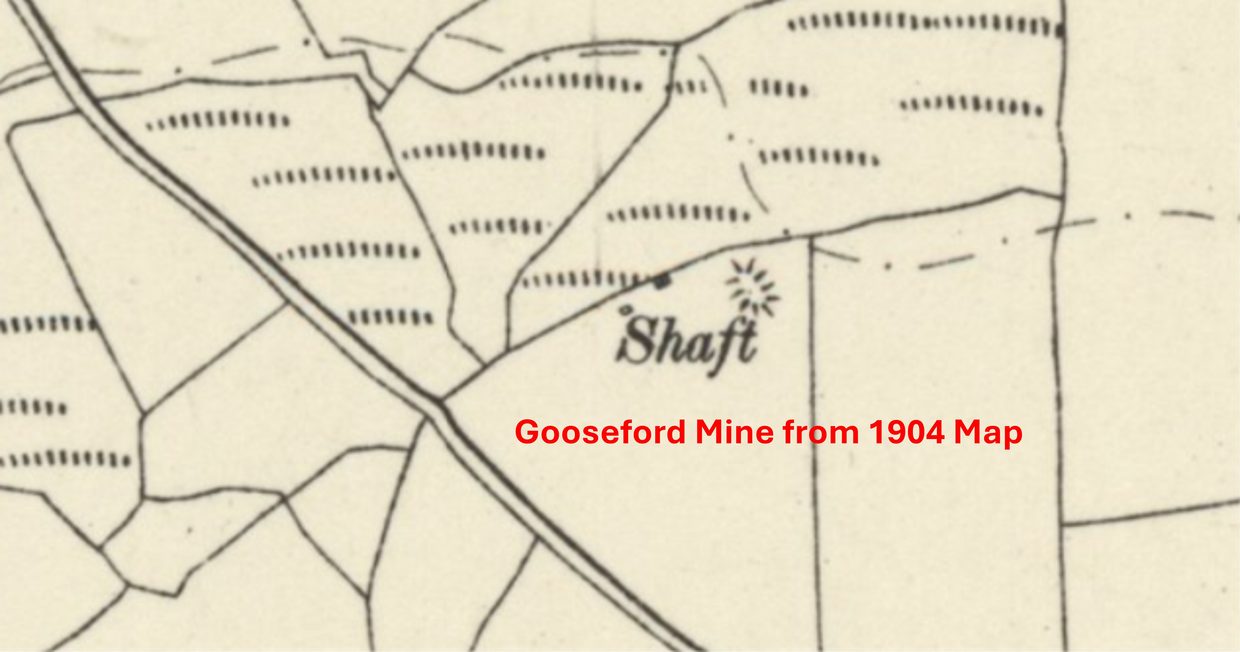
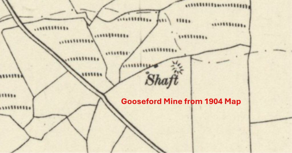
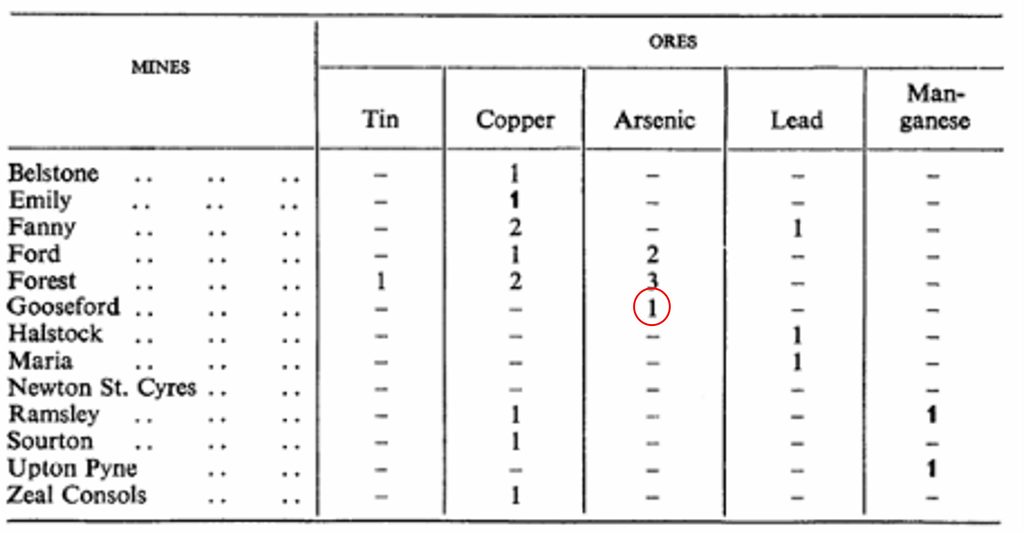
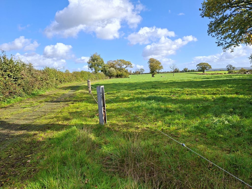
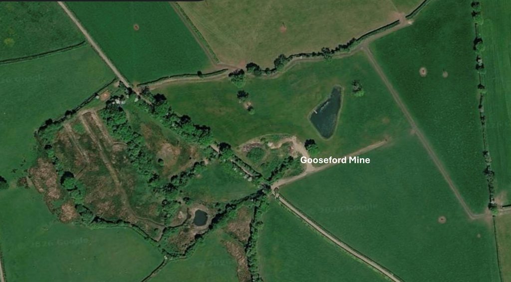
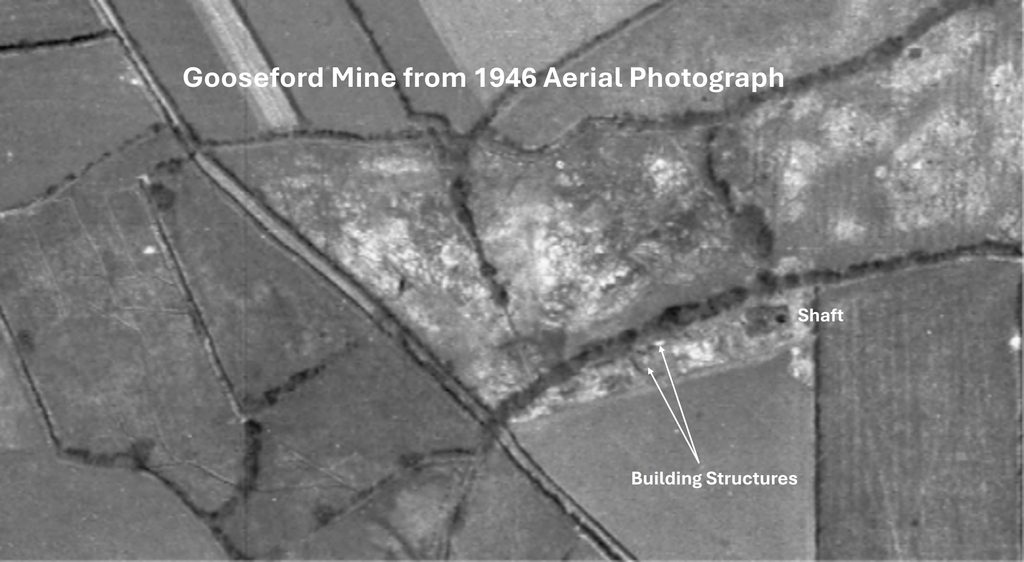
Gooseford Mine Map from 1904, around 10 years before it was stopped (according to Richardson) before recommencing between 1918 and 1924. Steam power is known to have been employed and a pulsmeter possibly used for pumping. Harris (1968) records that in the early years of the 20th century it was worked over for arsenic and calls it a small tin mine. The map shows a shaft and two small structures. This table entry from Dines (1956) suggests that Gooseford Mine only extracted ArsenicView from the roadside from the North West side of the former Gooseford Mine site, which would have been located near the trees in the top right of the photographAerial view of the Gooseford Mine site. To the south west of the road, although the ground looks disturbed, it was not believed to have been part of the mine. To the north east of the road is where the mine would have been, just above where the words ‘Gooseford Mine’. The lake is unlikely to have been part of the mine. Note the small pier jutting into the lakeThis 1946 aerial view of the mine indicates a lot of ground disturbance (lighter coloured areas) to the north east of the road. These appear to be ‘dumps’ which were cleared by 1972. The rectangular feature with the circle within it was most likely the shaft. The two structures which were shown on the 1904 map look extant and are two very small lights
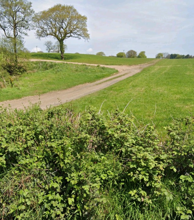
View from the lane looking towards the former shaft and structures. The clearance from 50 years ago, seems very thorough
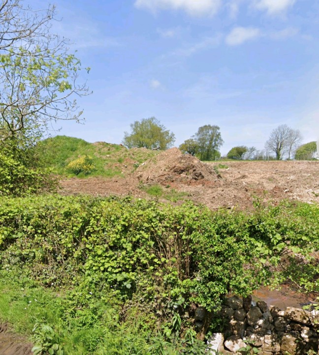
A few ‘dumps’ near the road. Do these date from 1972 ?
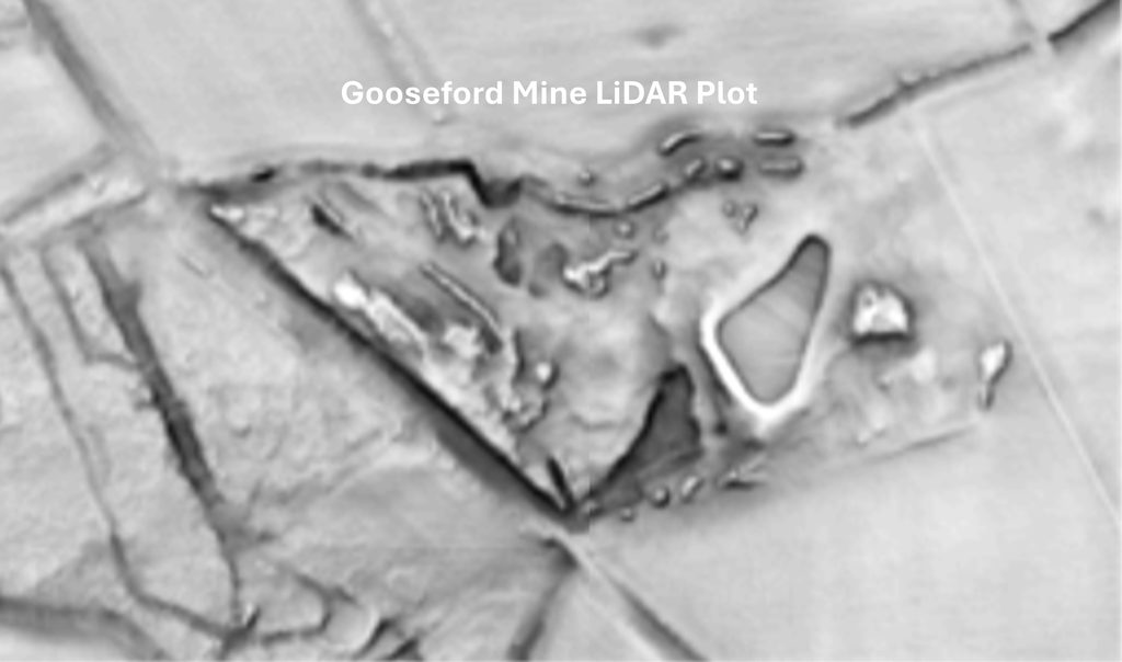
Modern LiDAR plot suggests that the mine was wholly on the north east side of the road. Where the ‘lake’ is unlikely to have been part of the mine as it did not appear on the 1946 (black and white) aerial photograph