A collection of walks, discoveries, insights and pictures of exploring Dartmoor National Park
February 5, 2022
Crymes Leat
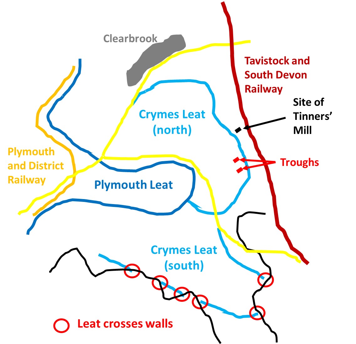
Crymes Leat (also known as Clearbrook Leat) was constructed around 1600 and caused a dispute at that time as its water source came from Plymouth Leat. The leat was instigated by William Crymes, the Lord Mayor of the Manor of Buckland Monachorum. Crymes had claimed the right to use the water from Plymouth Leat for tin working under Stannary Law. The litigation at the time was resolved in 1603, when the Star Chamber granted him the right to work two tin mills with the water. The northern branch of the leat is very easy to follow in spite being affected by later tin working gullies, whereas the southern branch has been blocked in several places by field walls before returning to open moorland and is less discernible.
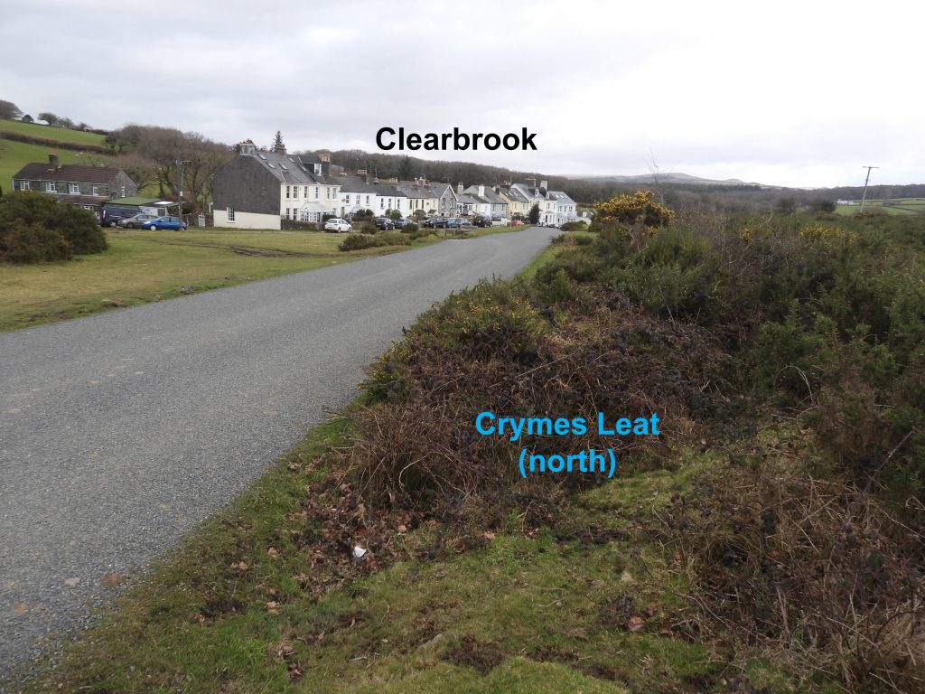
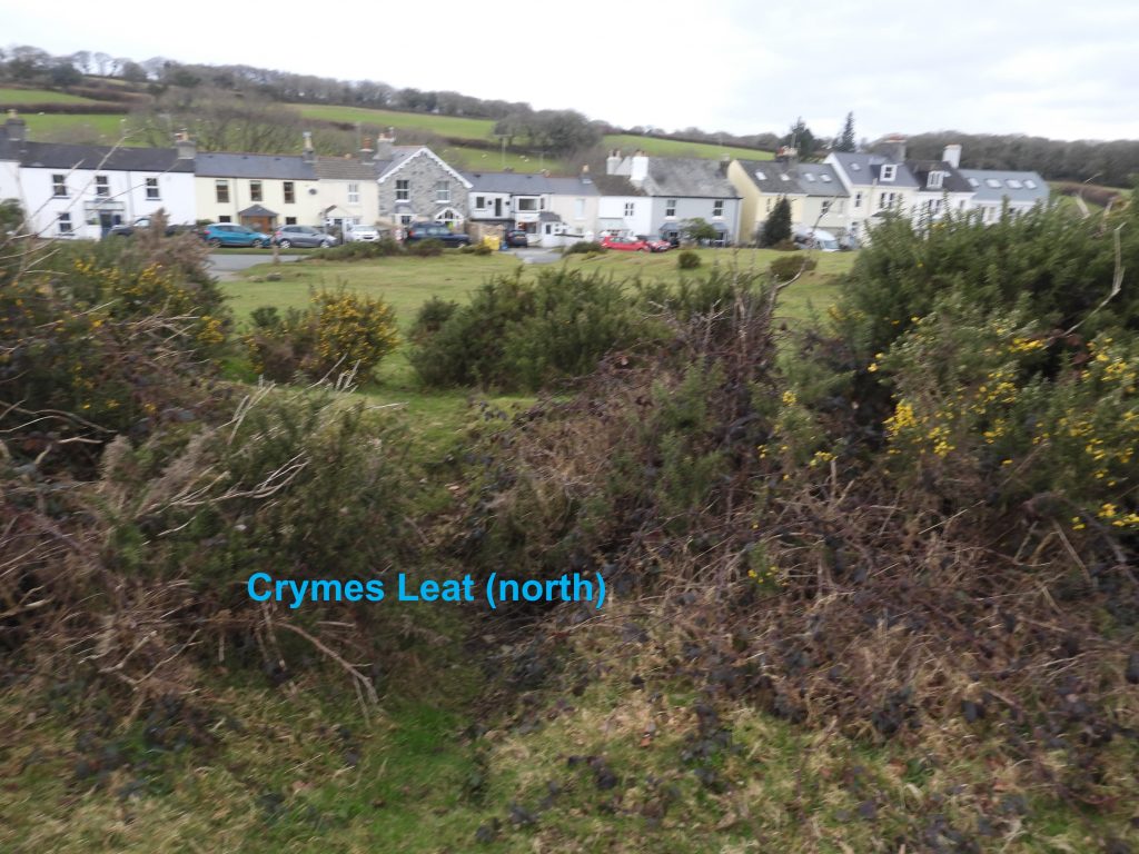
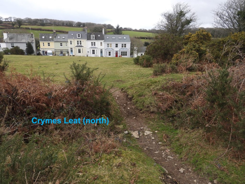
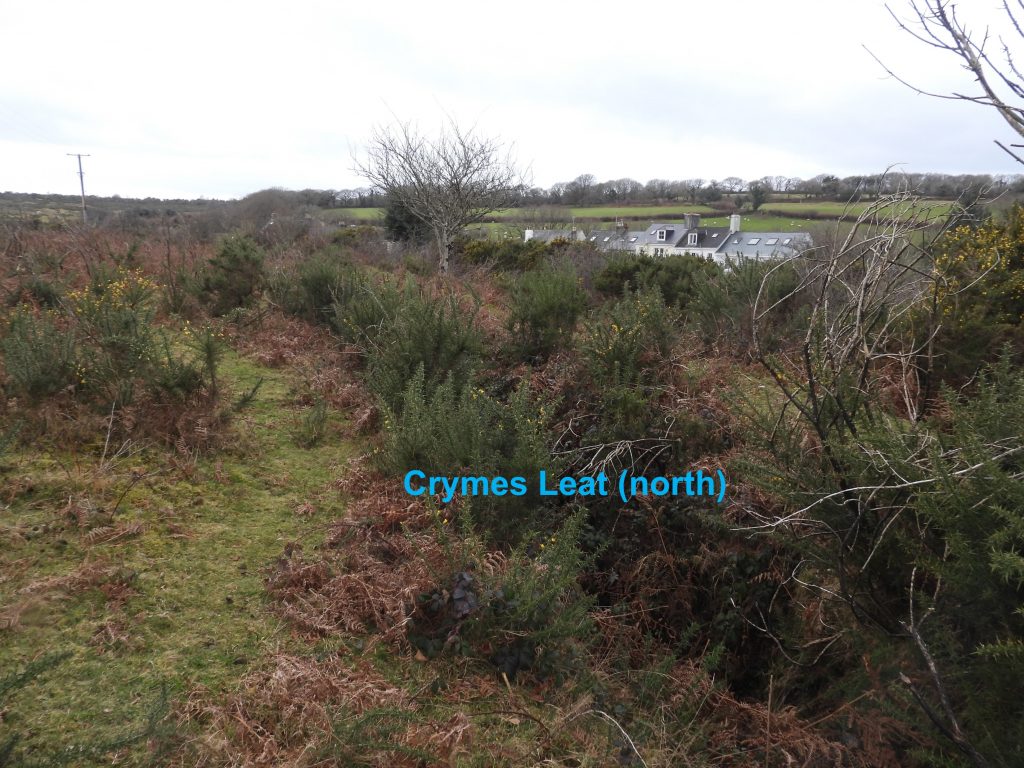
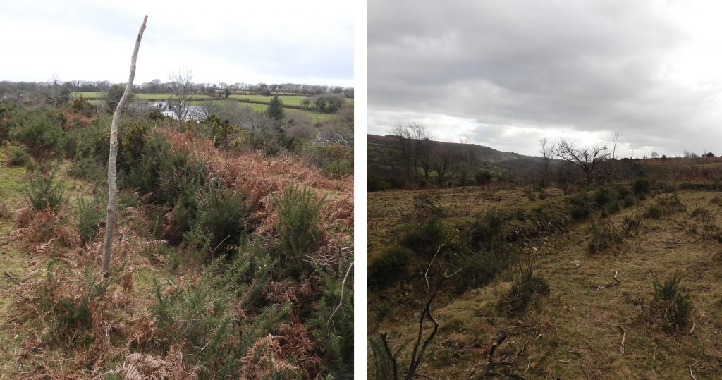
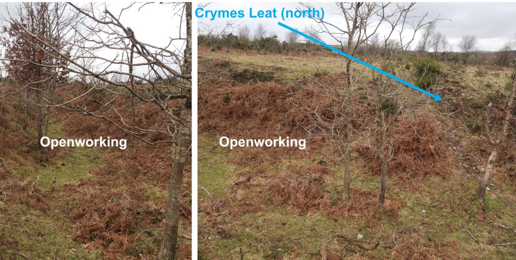
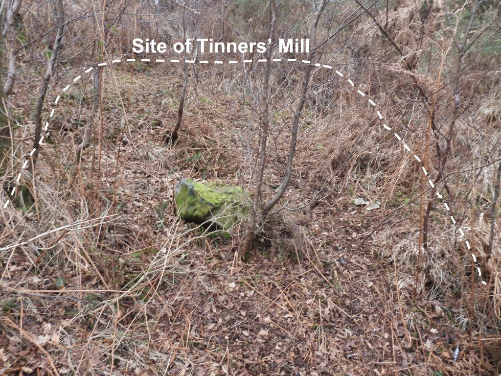
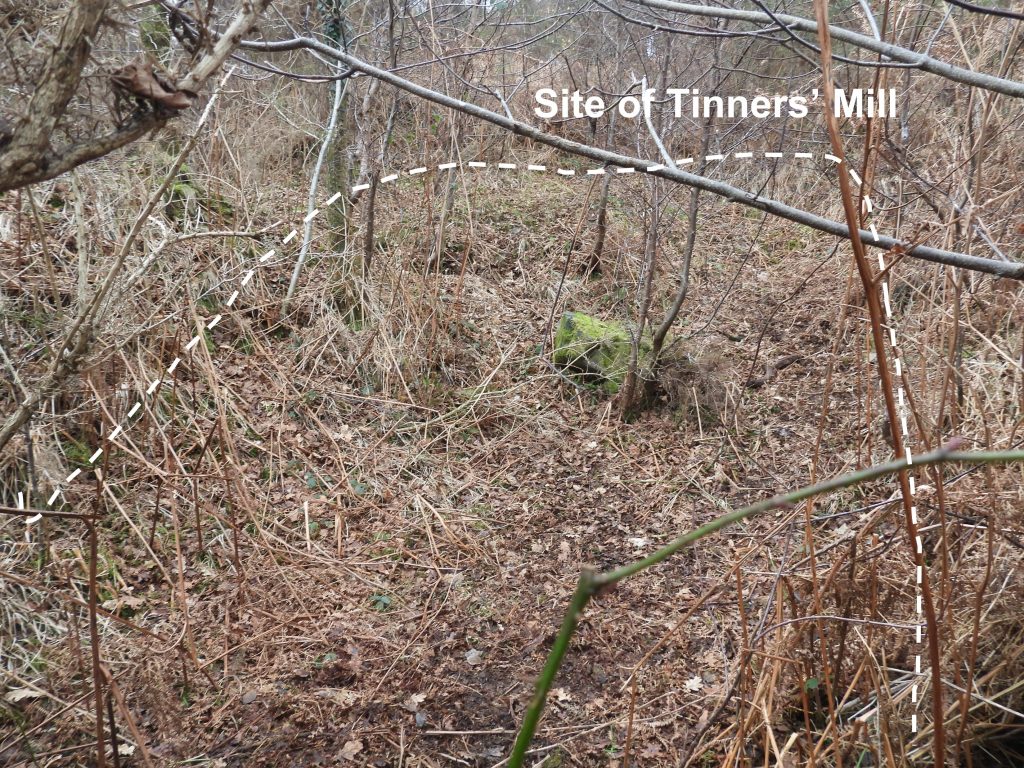
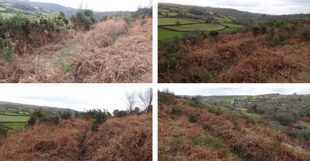
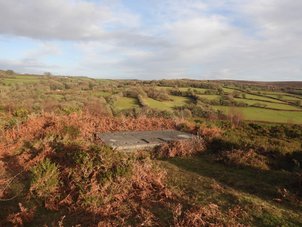
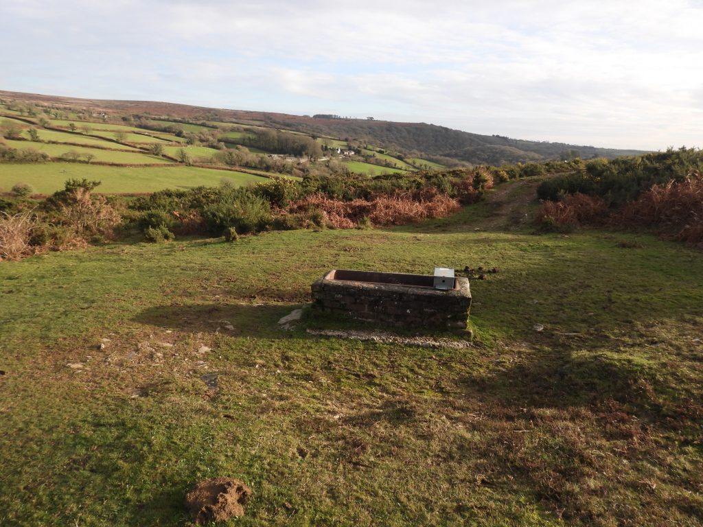
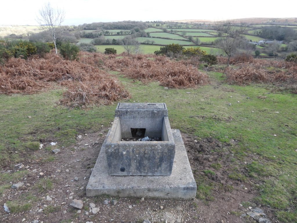
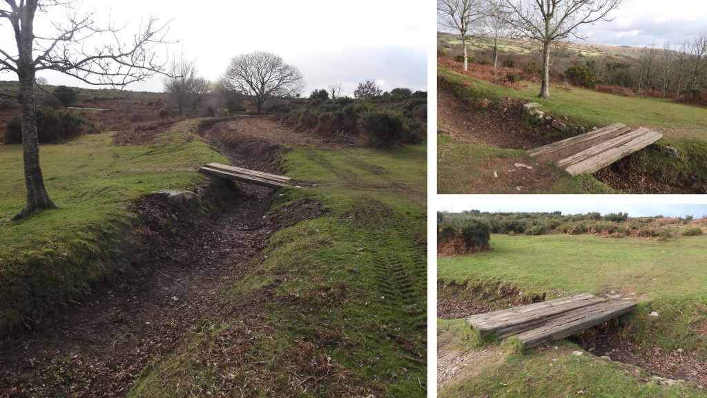
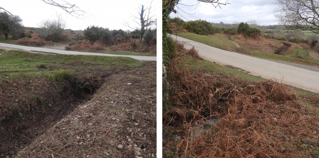
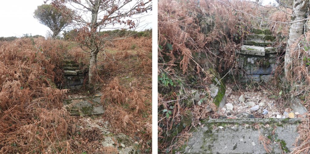
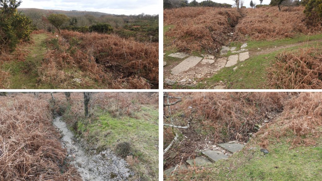
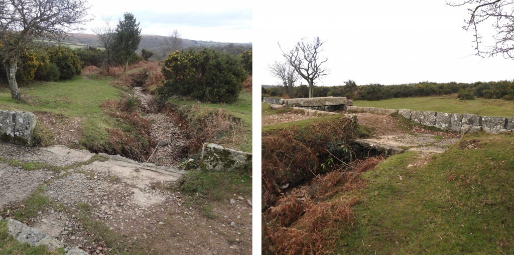
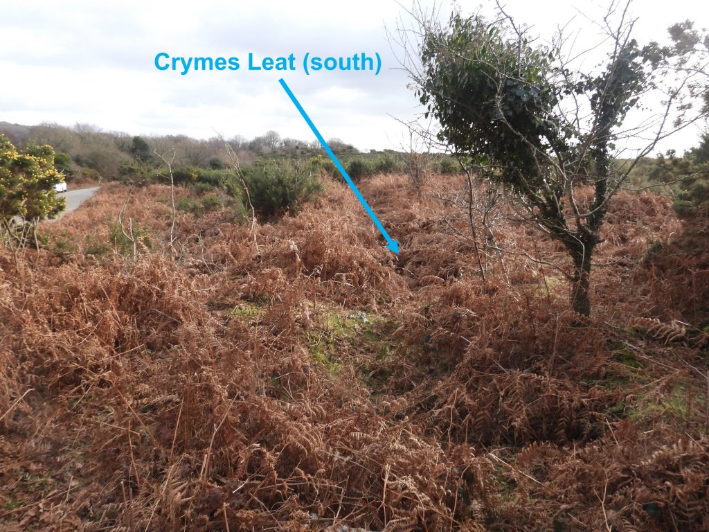
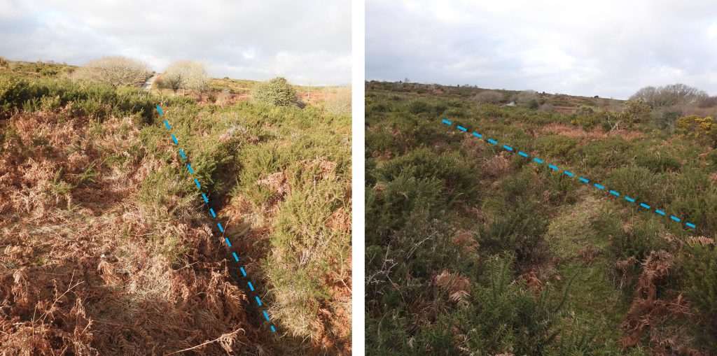
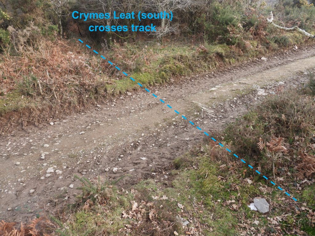
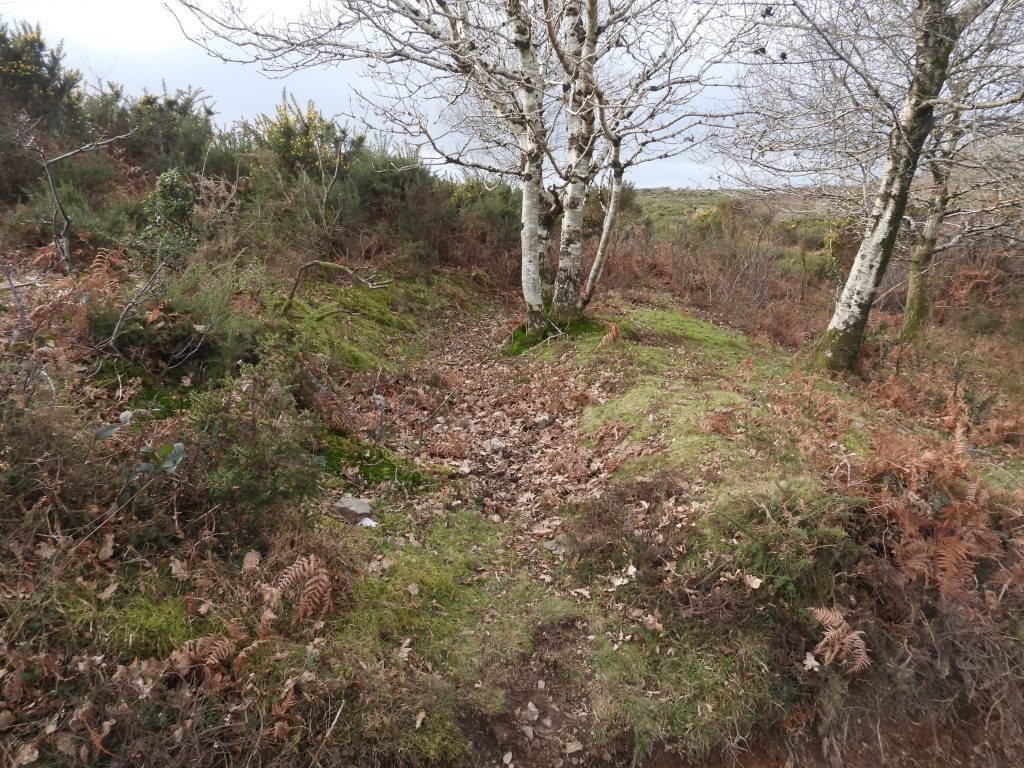
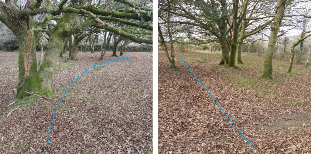
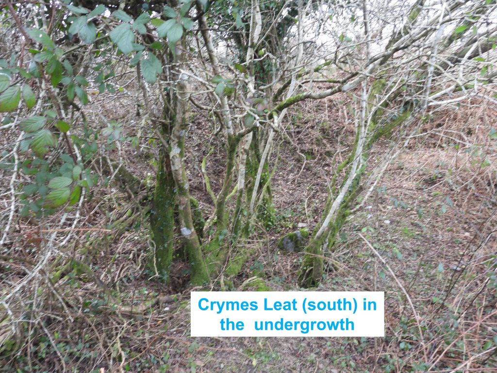
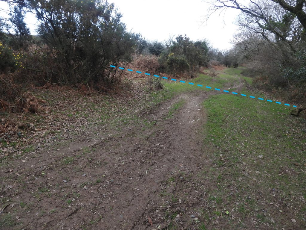
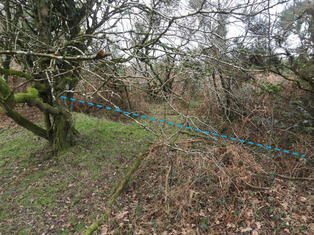
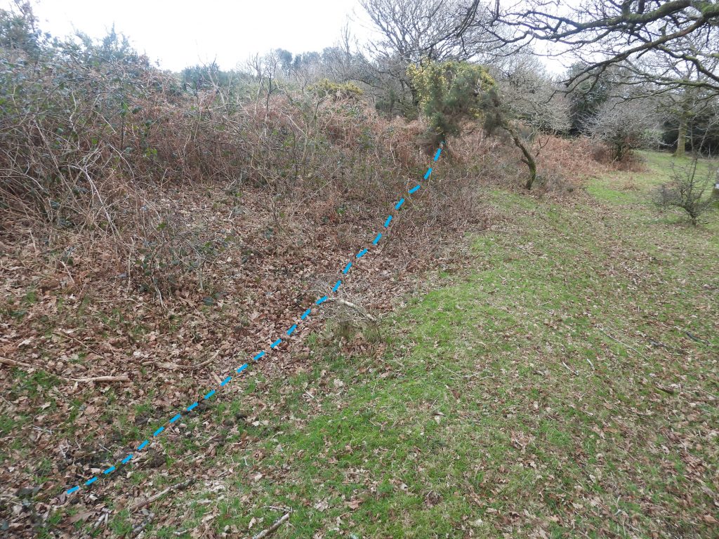
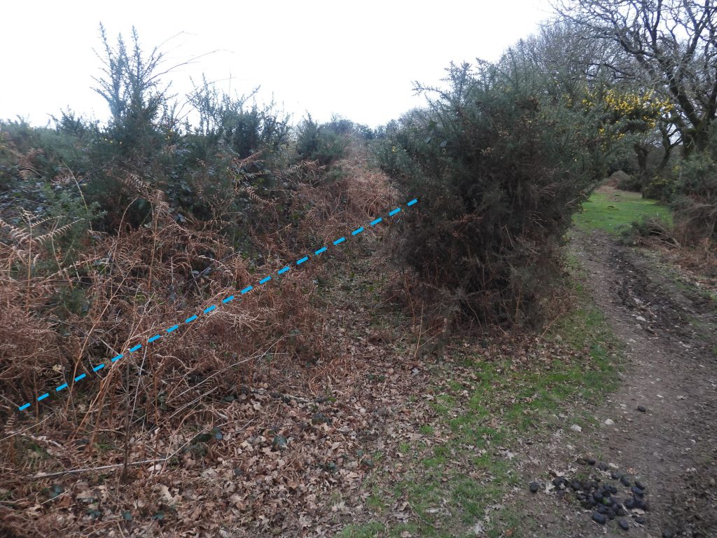
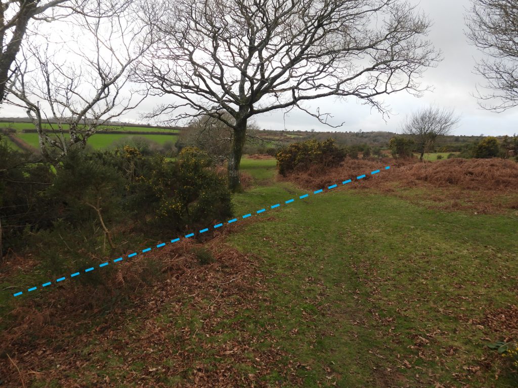
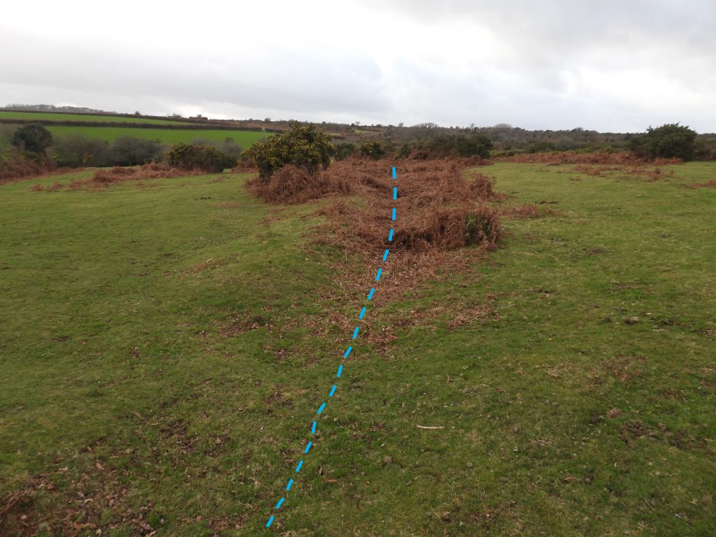
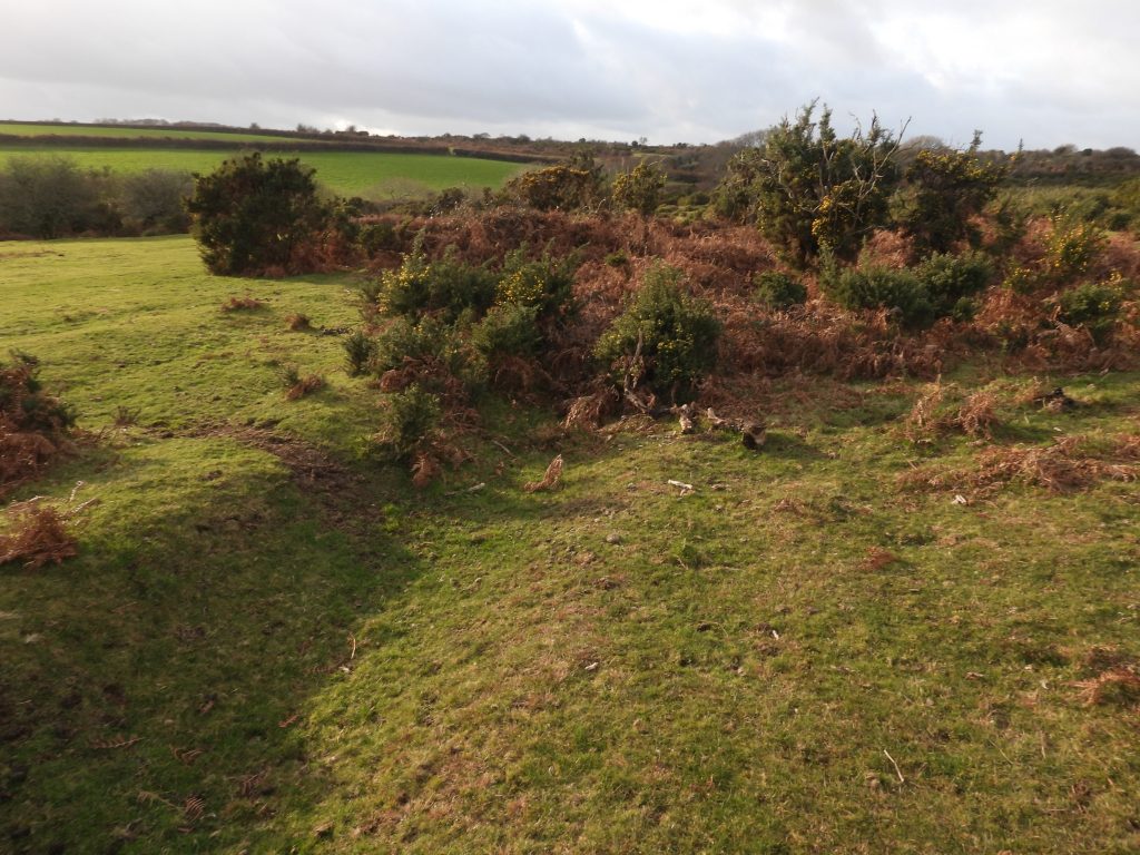
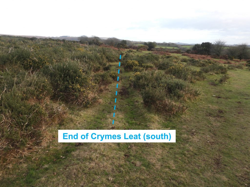
Sketch map showing the location of the two branches of Crymes Leat in relation to Plymouth Leat and surrounding features of the area.The end of the northern branch of Crymes Leat can still be found by the roadside which descends to Clearbrook. This is at SX52000 65364Moving in an eastward direction from the road the course of the leat is easily followed as it passes ClearbrookThe leat is occasionally crossed by a footpath. The one in the picture comes up from near the Skylark Public House.Although overgrown in places, a path can be followed alongside the leat. The line of the leat follows approx. the contour 512 feet.The leat contours around the hillside and for the most part is between 0.5m and 1m deep. It is still in remarkable condition despite being over 400 years old.The southern section of the leat crosses an open (tin) working at SX52406 65384.At SX52490 65202, in deep vegetation is a platform which may have been the site of a tin millknown to have existed on roborough down circa 1600-1603. The site of a tin mill is ideally located to have used water for its power, supplied by the adjoining Crymes Leat a few 10’s of metres above.Extensive views overlooking the Meavy valley can be found as the leat contours the hillside. A winter visit is best as can be seen from the photographs, at this point the leat is full of bracken.Just above the leat is a small concrete structure which looks like a reservoir, almost certainly from 20th century. It is located at SX52501 65090.Just uphill from the small “reservoir” is a drinking trough at SX52490 65077.Another drinking trough is located at SX52489 64908.Moving south towards the road that leads to Goodameavy a modern bridge constructed from four wooden planks can be found. It is located at SX52460 64850. The leat appears to have been cleared (and possibly deepened) at this point.The southern branch of Crymes Leat crosses the Goodameavy Road at SX52411 64810.From the Goodameavy road the leat can be followed uphill to the Plymouth Leat. It is lined with concrete and stone slabs which must be most probably 20th century in origin. The Dartmoor HER describes a channel having been dug out and used in “recent” times by the Water Authority. One assumes this is evidence of that ?Climbing the hill to the Plymouth Leat more slabs and concrete can be found. Also, the occasional brick can be found.Point where Crymes Leat meet the Plymouth Leat is located at SX52251 64909. At this point Plymouth Leat is granite lined but has slabs removed where it feeds Crymes Leat. The author does question if this was the original 1600 feeder point, but has no information to the contrary.Returning to the Goodameavy Road and following it south for a few 10’s of metres the less discernible Crymes Leat southern branch can be found.The southern section of the leat is harder to follow due to the gorse.The southern branch of the leat is obliterated by a track and is barely recognisable at this point.The leat after the track is very shallow as it enters a small copse.The leat in the small copse. At the top of the left picture, the leat course disappears into field where the wall crosses. This point is approx. SX52648 64529The author found it extremely difficult picking up the southern section of the leat where boundary walls “funnel” down to a track which leads towards Leighbeer. The area is full of old working marked as “quarries” on the modern OS map.On the western edge of the wall “funnel” the leat can once again be found. It disappears into the field where the wall crosses at SX52323 64403The leat re-enters relatively open ground from the field wall at SX52251 64438The leat at this point is barely 0.5m deep. It disappears once again into a field through a wall at SX52133 64491.The last re-emergence of the leat onto open ground is at approx. SX52013 64544.Two 17th century mines, Heathparke and Blewstone are believed to have been located close to the southern branch of Crymes Leat. The Dartmoor HER suggests the mines were located towards the final (discernible) sections of the leat.In the last few hundred metres of the leat, it crosses open moorland.The indentation of the leat is still discernible at this point.The end of the southern section of Crymes Leat peters out at approx SXSX51835 64629.