A collection of walks, discoveries, insights and pictures of exploring Dartmoor National Park
February 2, 2023
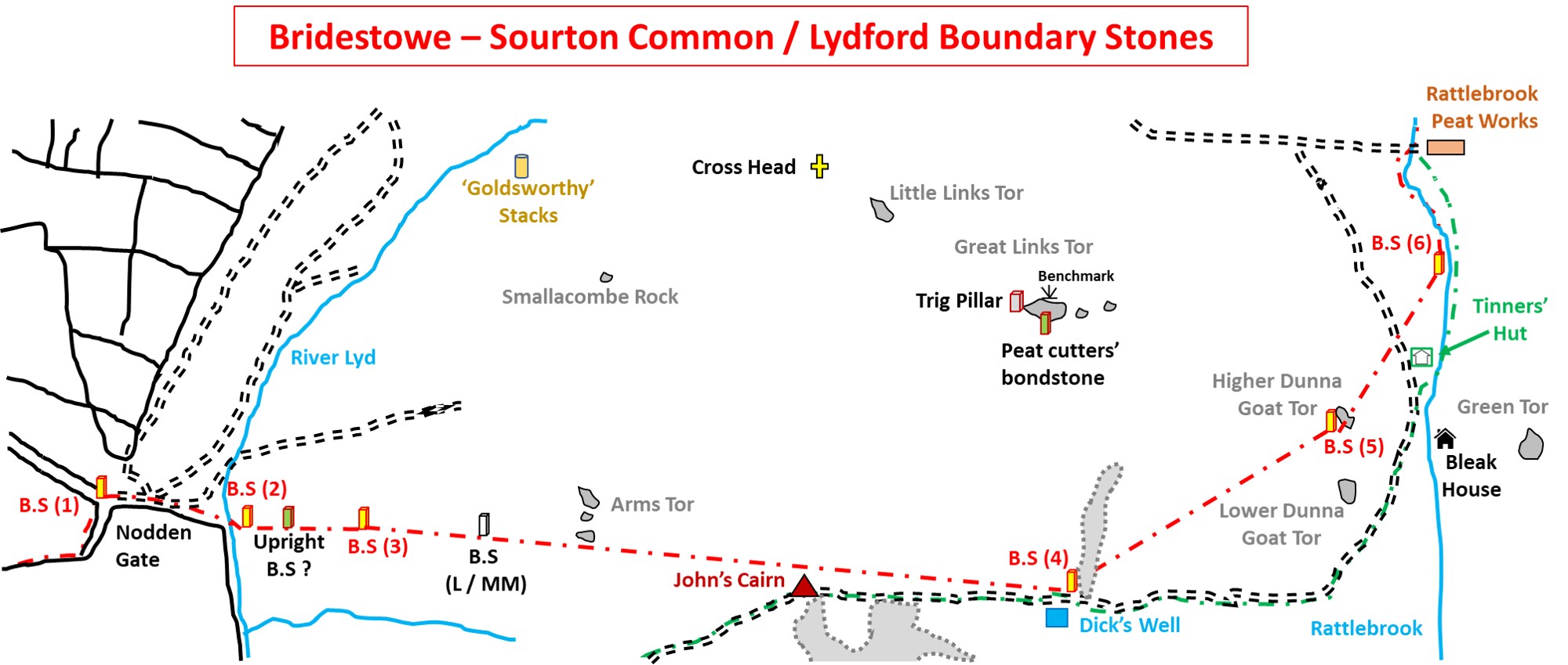
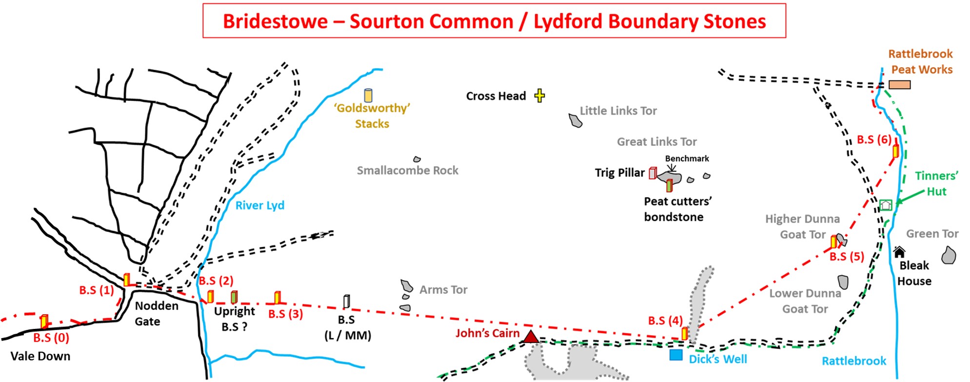
Bridestowe – Sourton Common and Lydford Parish Boundary from Nodden Gate to Rattlebrook Peat Works
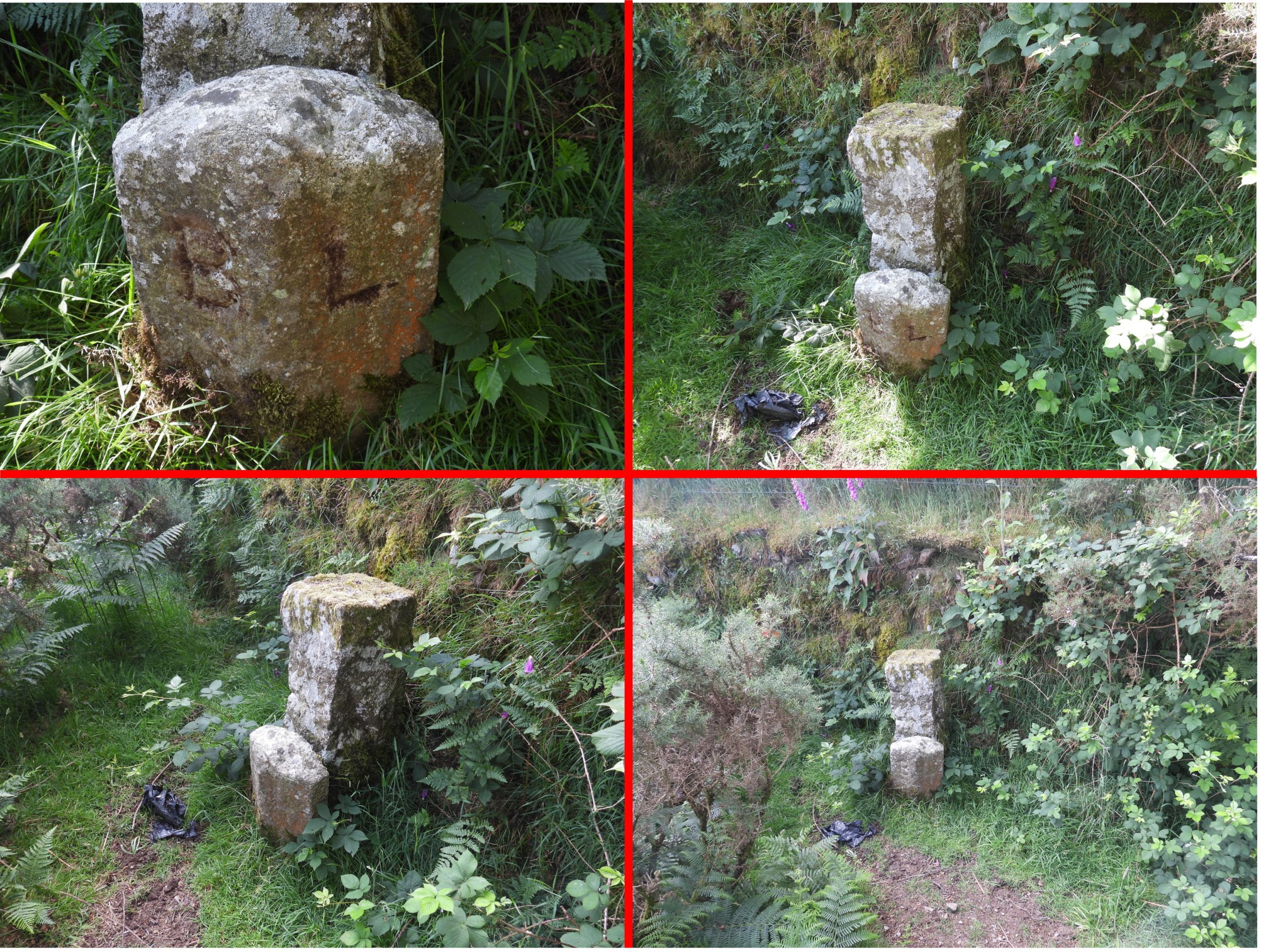
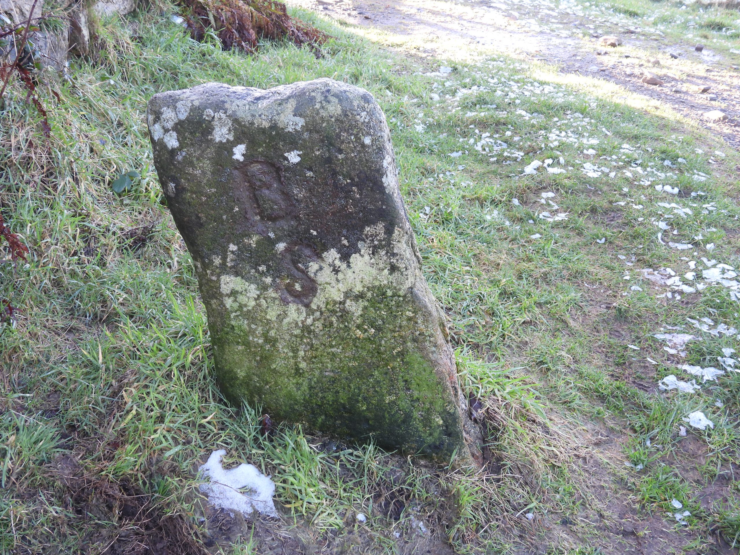
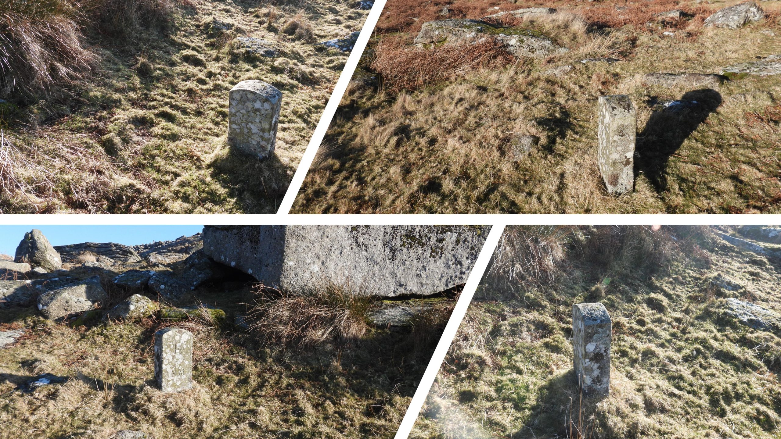
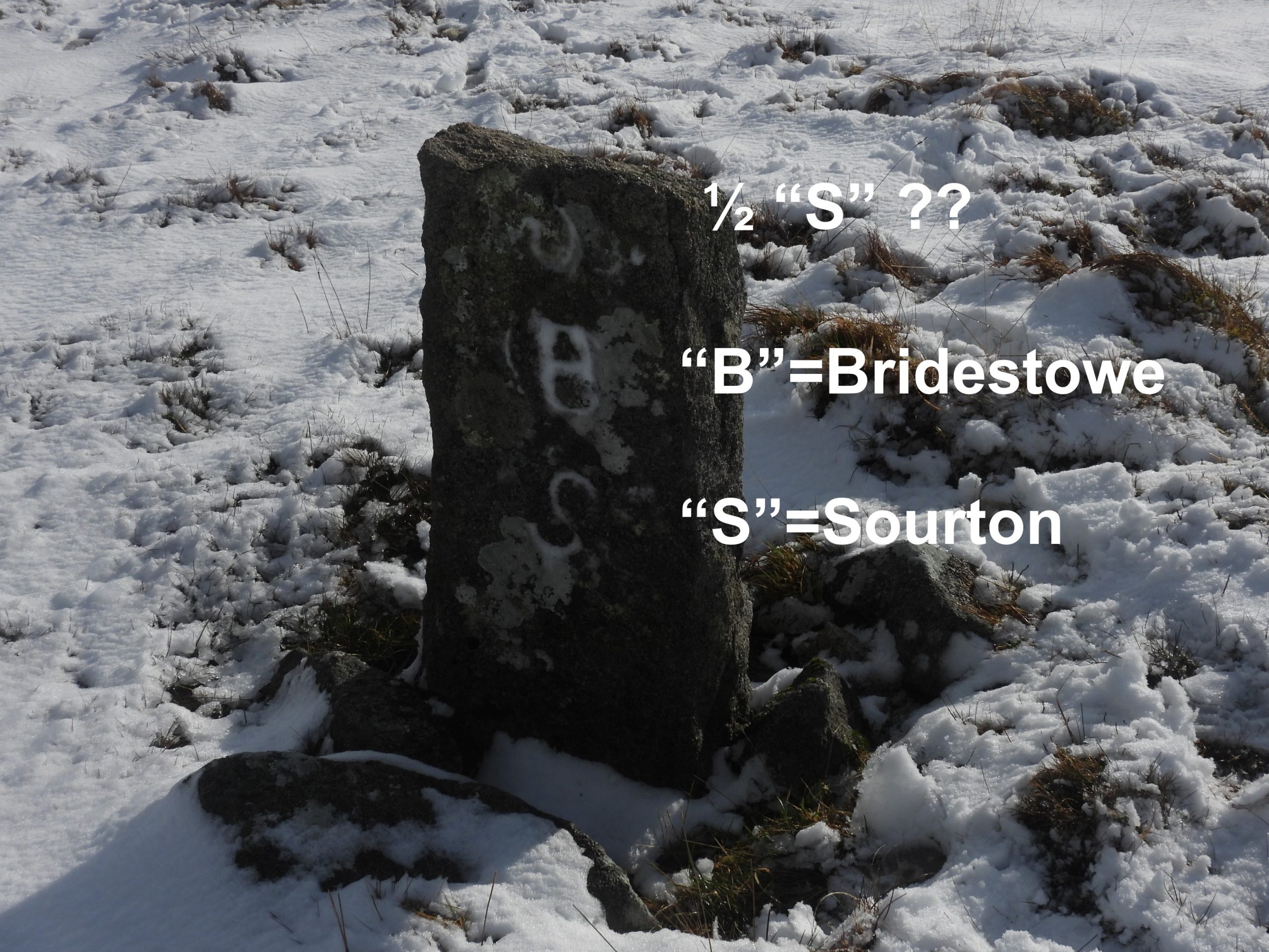
The parishes of Bridestowe and Sourton ‘share’ an area of land known as Bridestowe – Sourton Common, which is jointly owned. This area of land borders Lydford Parish to the south and the forest of Dartmoor to the east. The southern boundary between Vale Down (near Nodden Gate) and the Rattlebrook (at a point just north of Bleak House) is marked by nine boundary stones (in eight locations), four of which are inscribed “L” (for Lydford) on one side and “B S” (for Bridestowe and Sourton) on the other and one which is inscribed “L / MM” (For Lydford, year 2000 in Roman Numerals). On Vale Down there are two boundary stones located side by side, with one inscribed “B” (for Bridestowe) and “L” (for Lydford). The final two boundary stones are unmarked.
This post records features along the aforementioned boundary plus other features of interest in the southern portion of the Bridestowe – Sourton Common.
Bibliography
Dartmoor Boundary Markers (2nd Edition) by Dave Brewer – Bridestowe and Sourton – Pages 174/5
Eric Hemery, (1983) – High Dartmoor – Page 976
Royal Commission for the Historical Monuments of England, 1993-1998, Dartmoor Royal Forest Project
Gillard, 2019, Images of tinners’ building
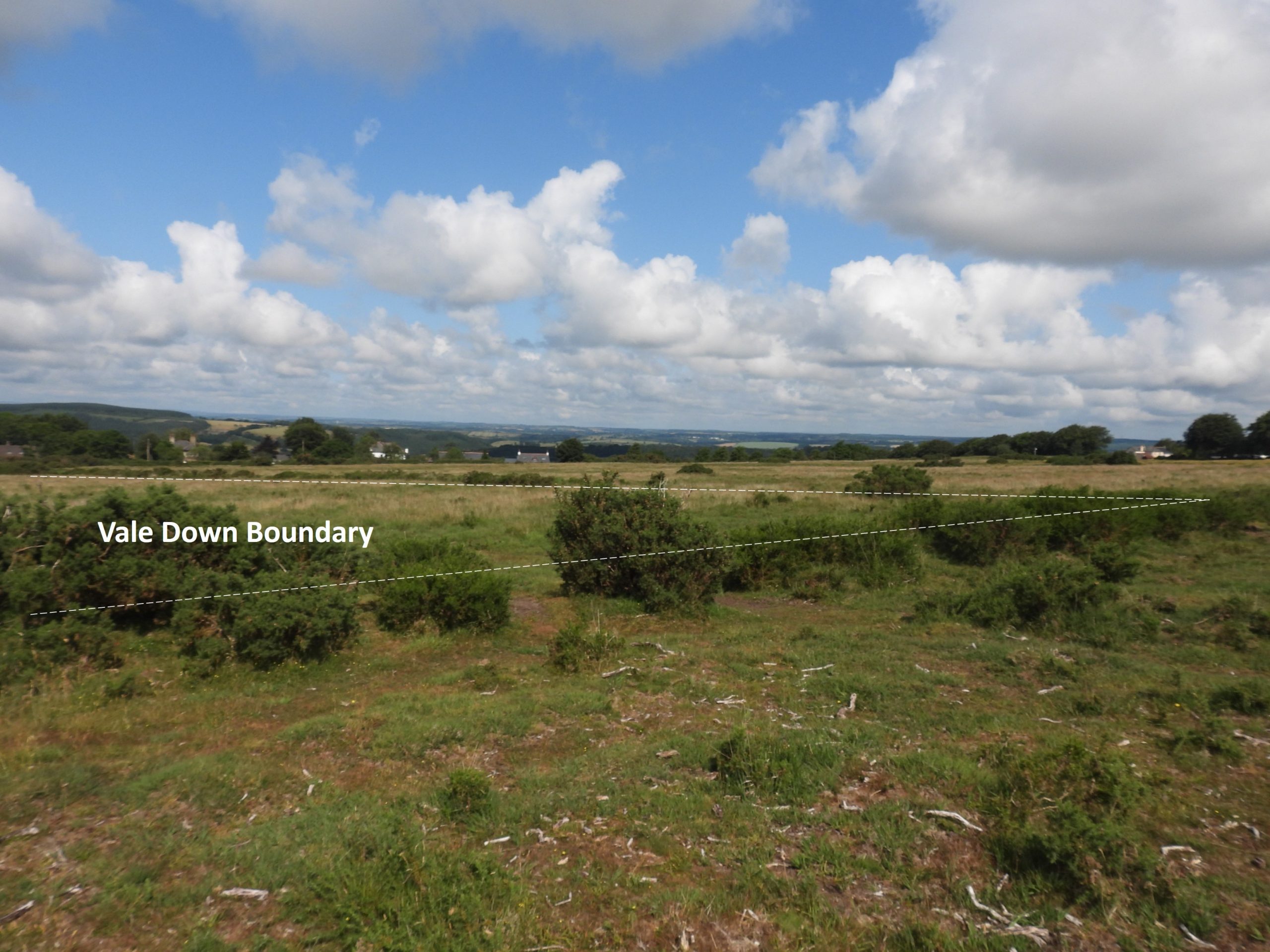
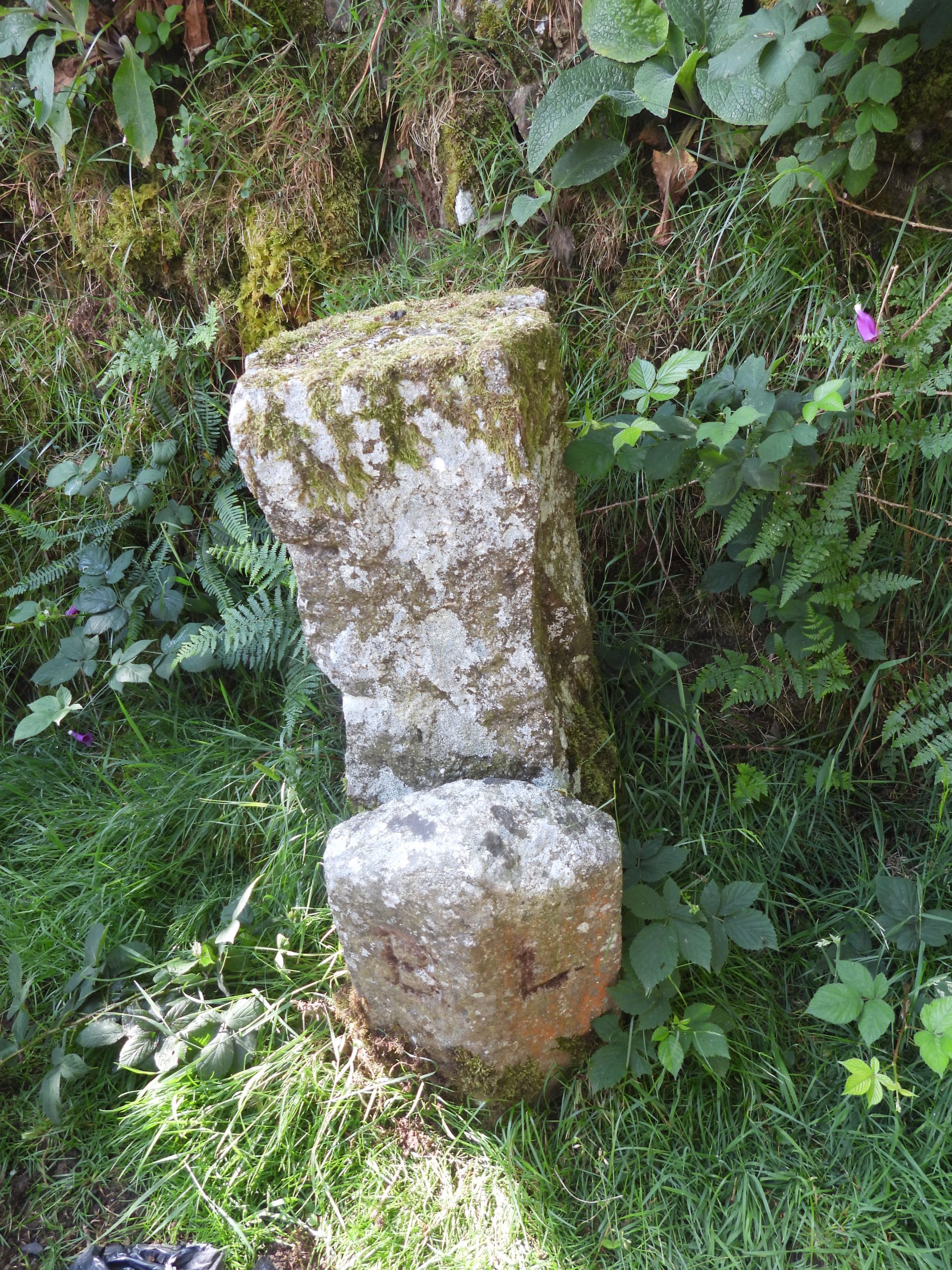
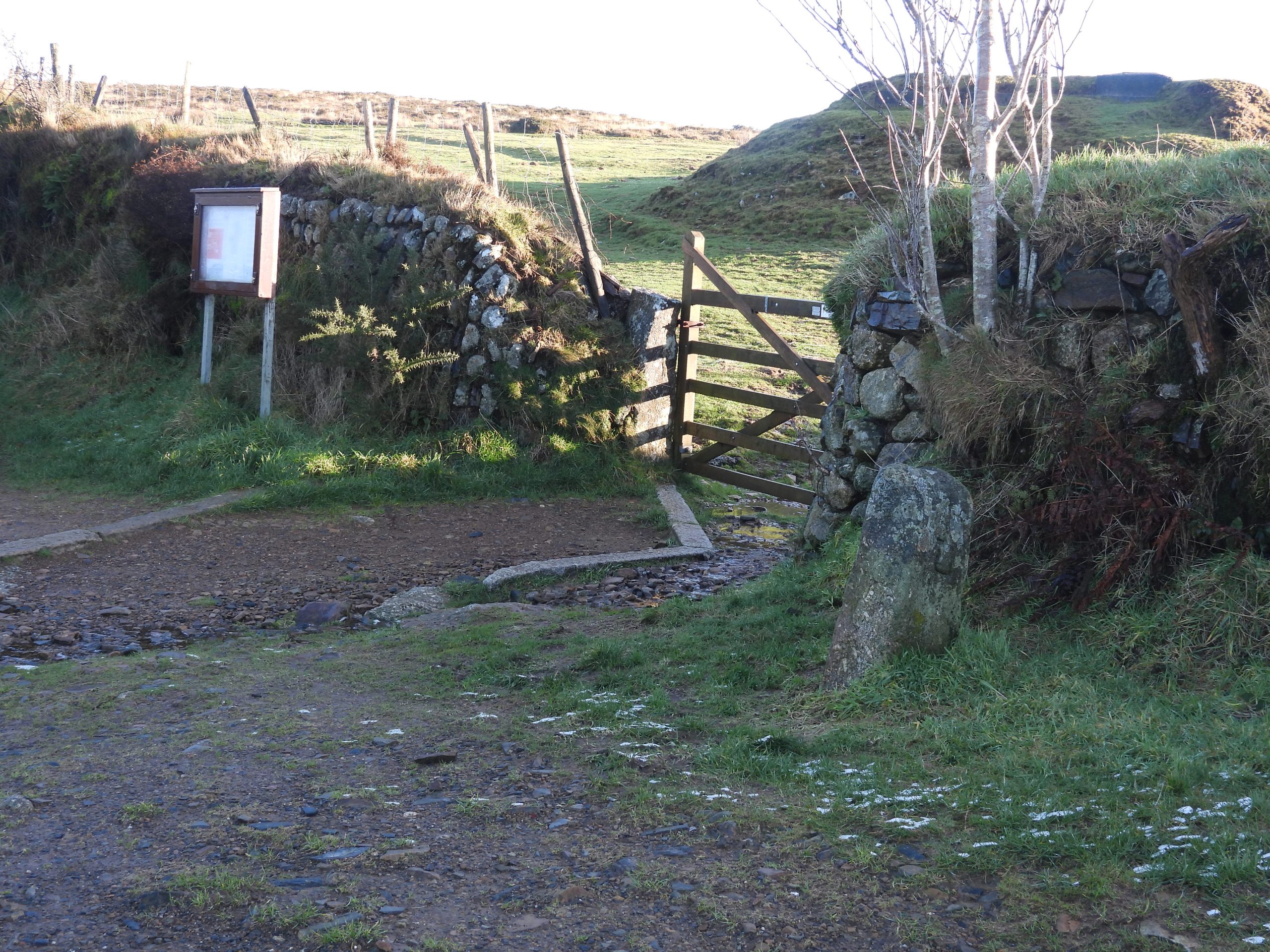
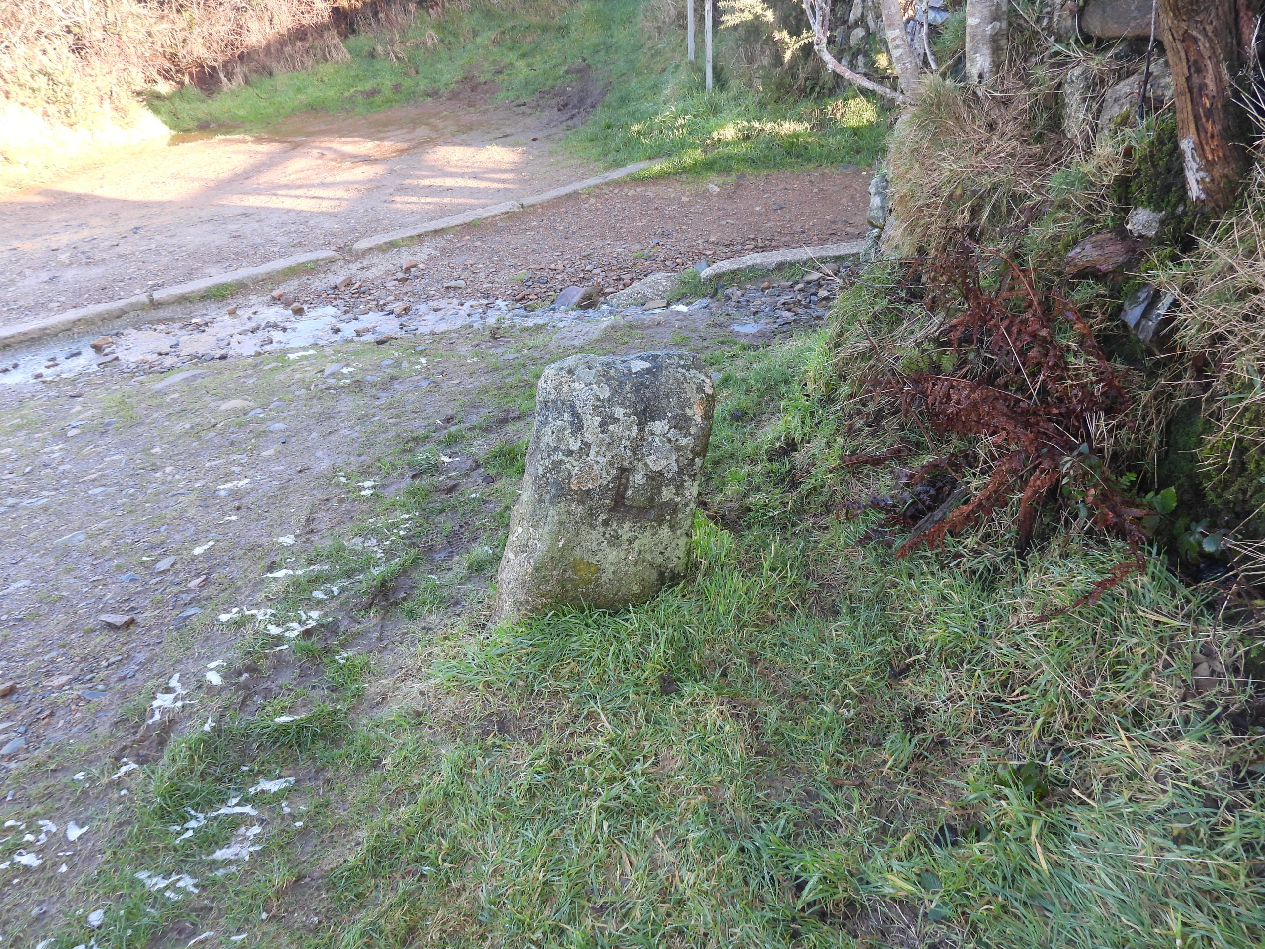
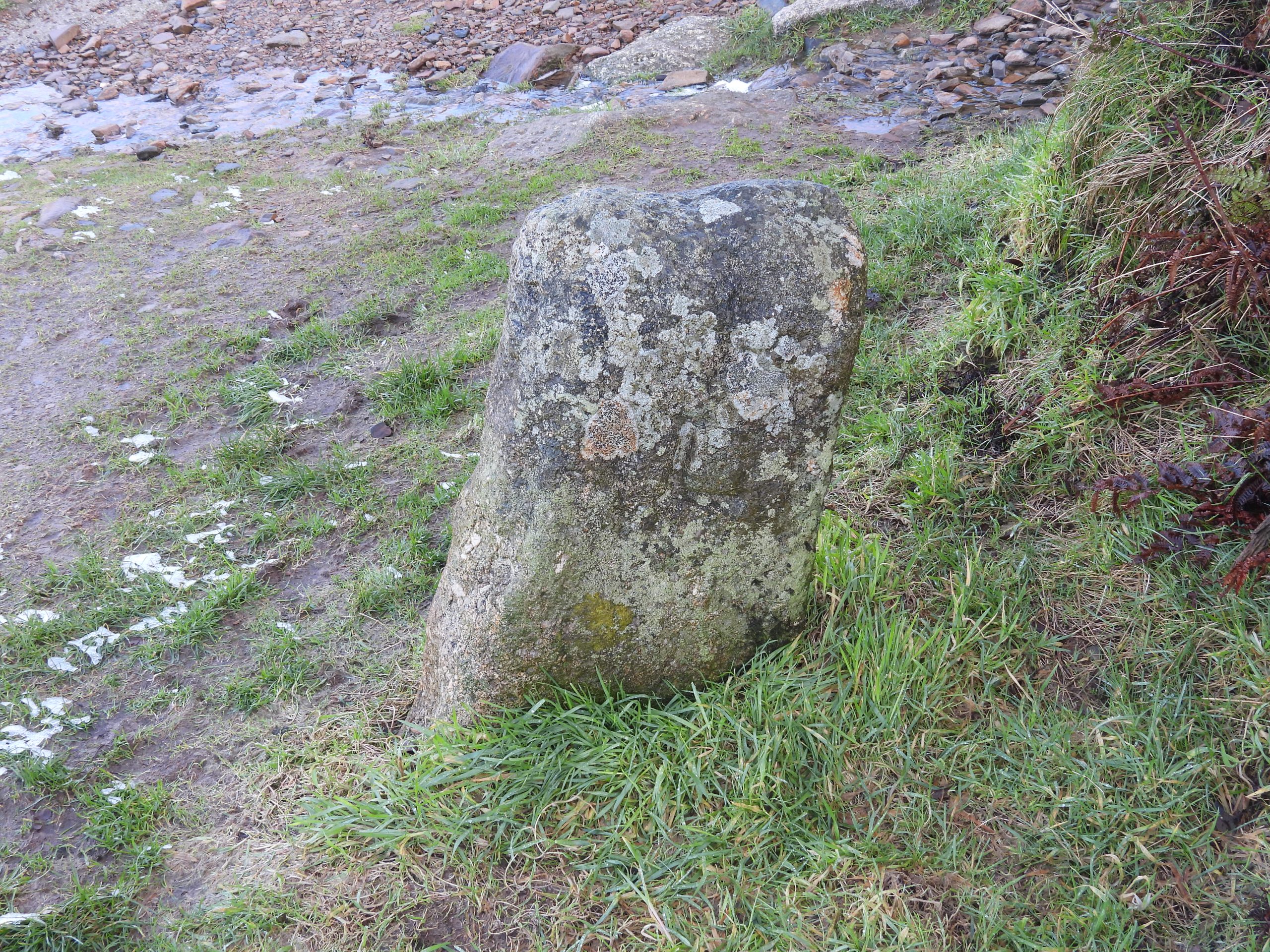
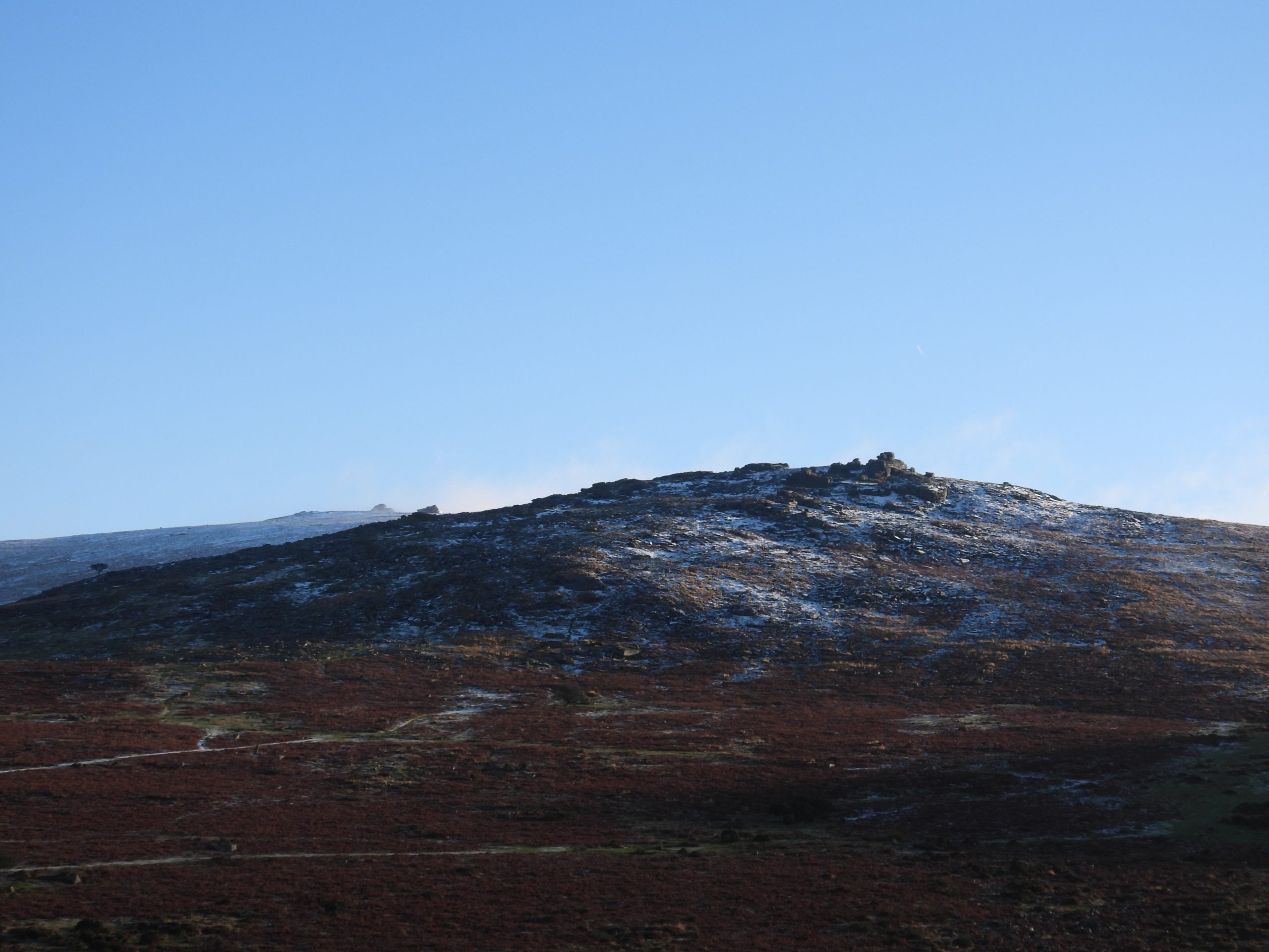
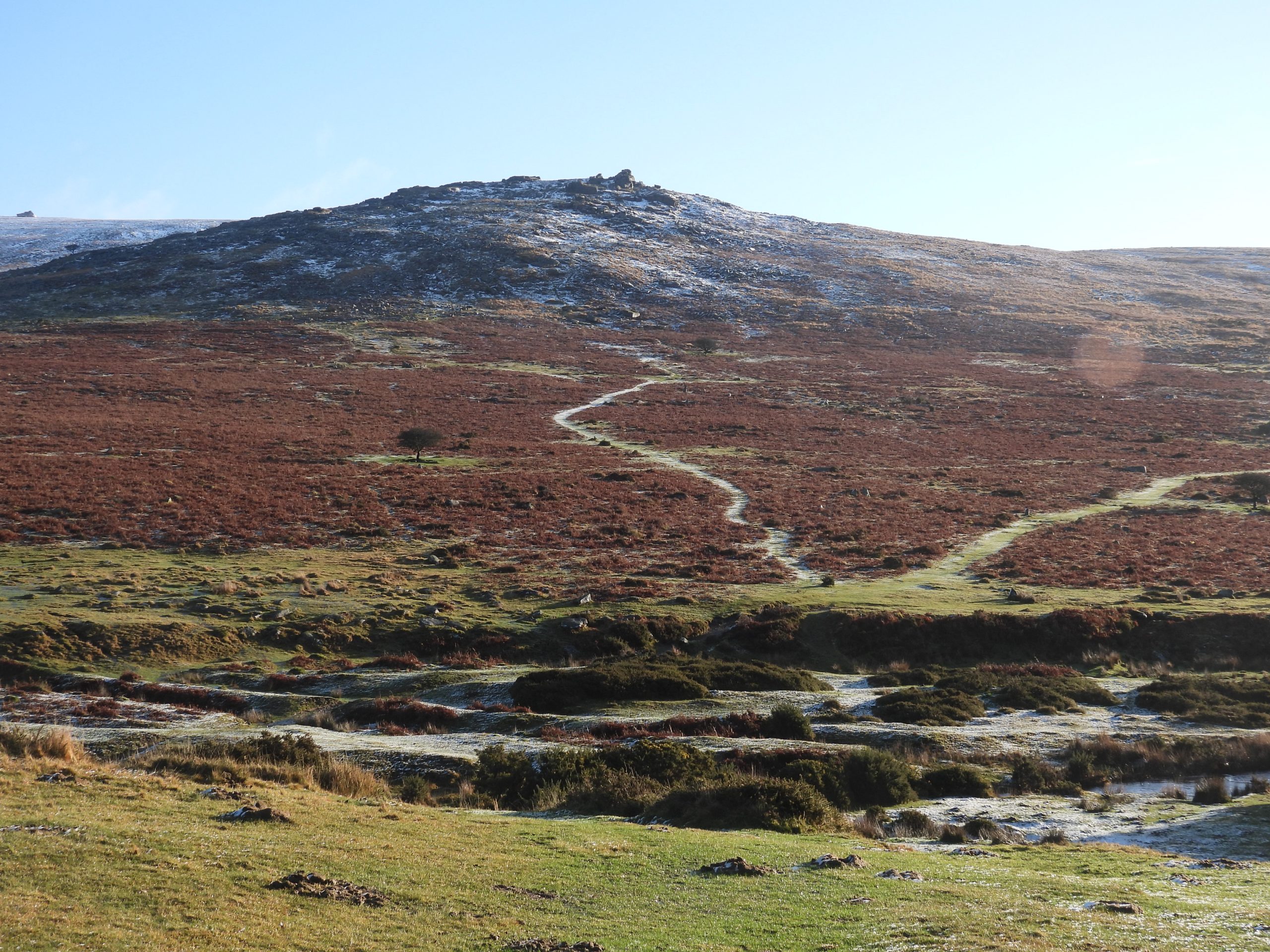
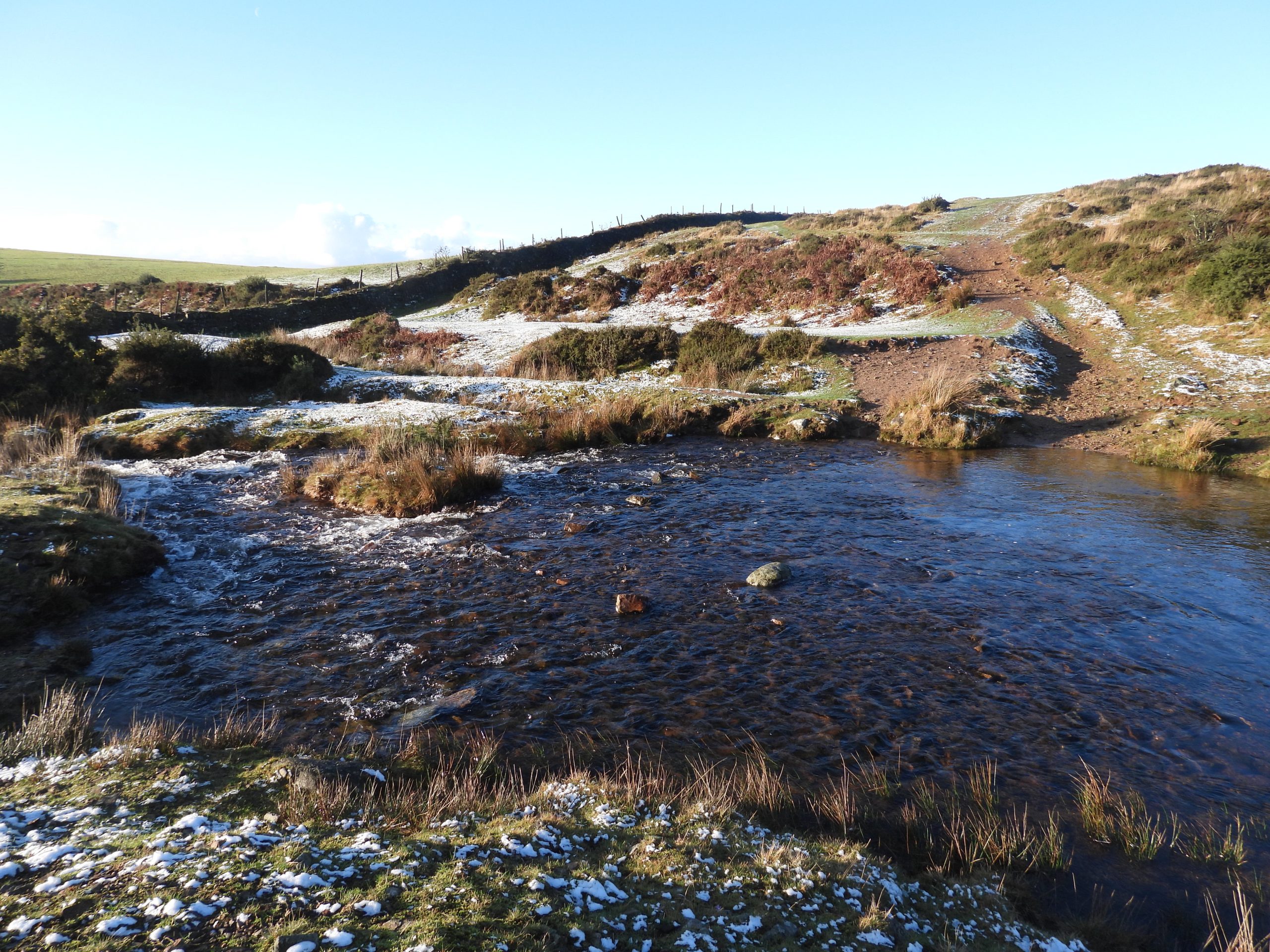
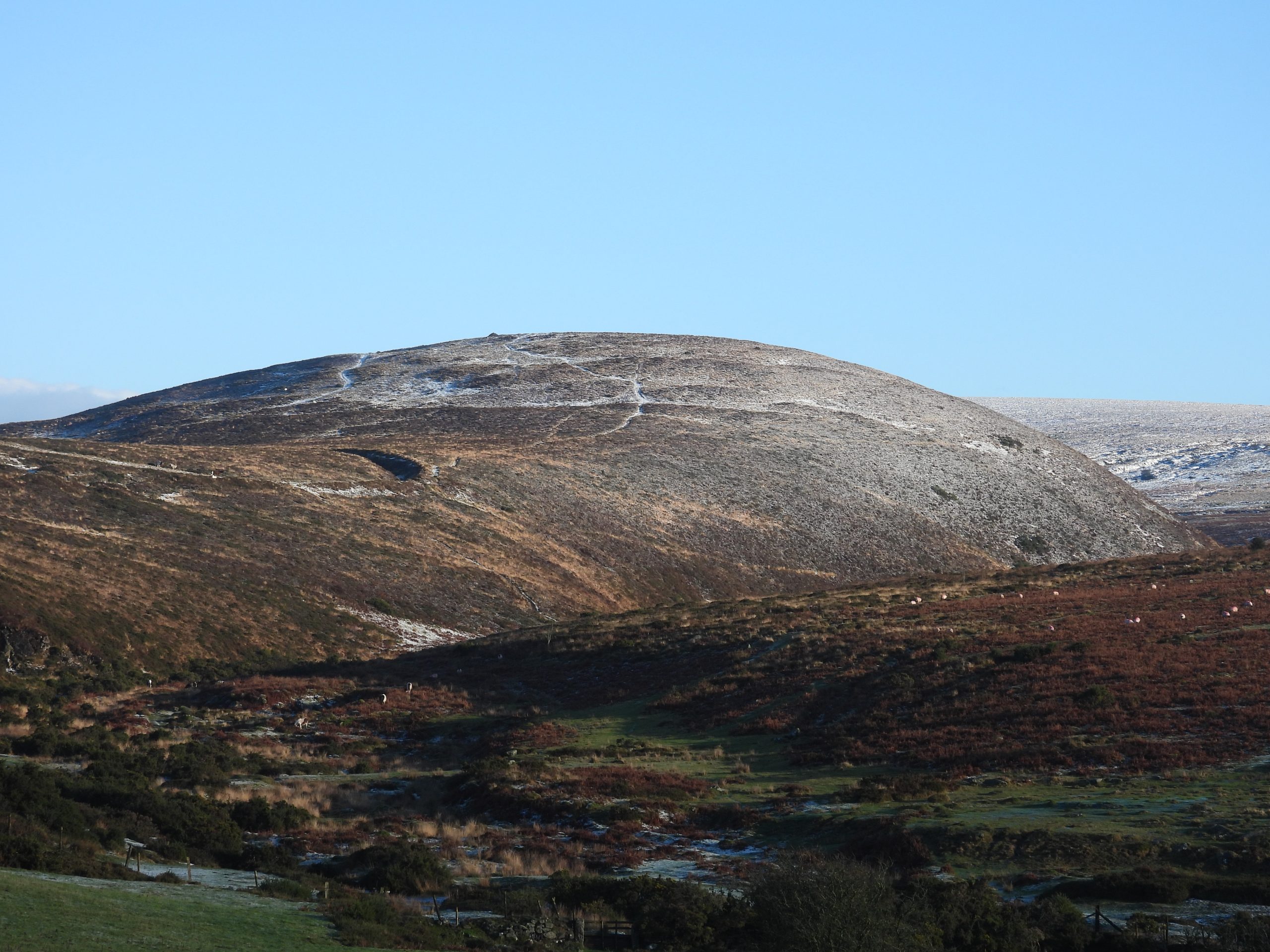
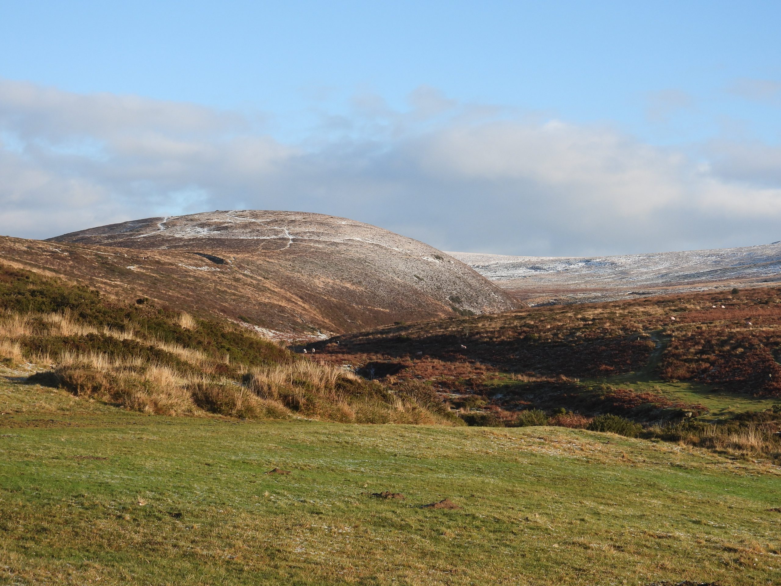
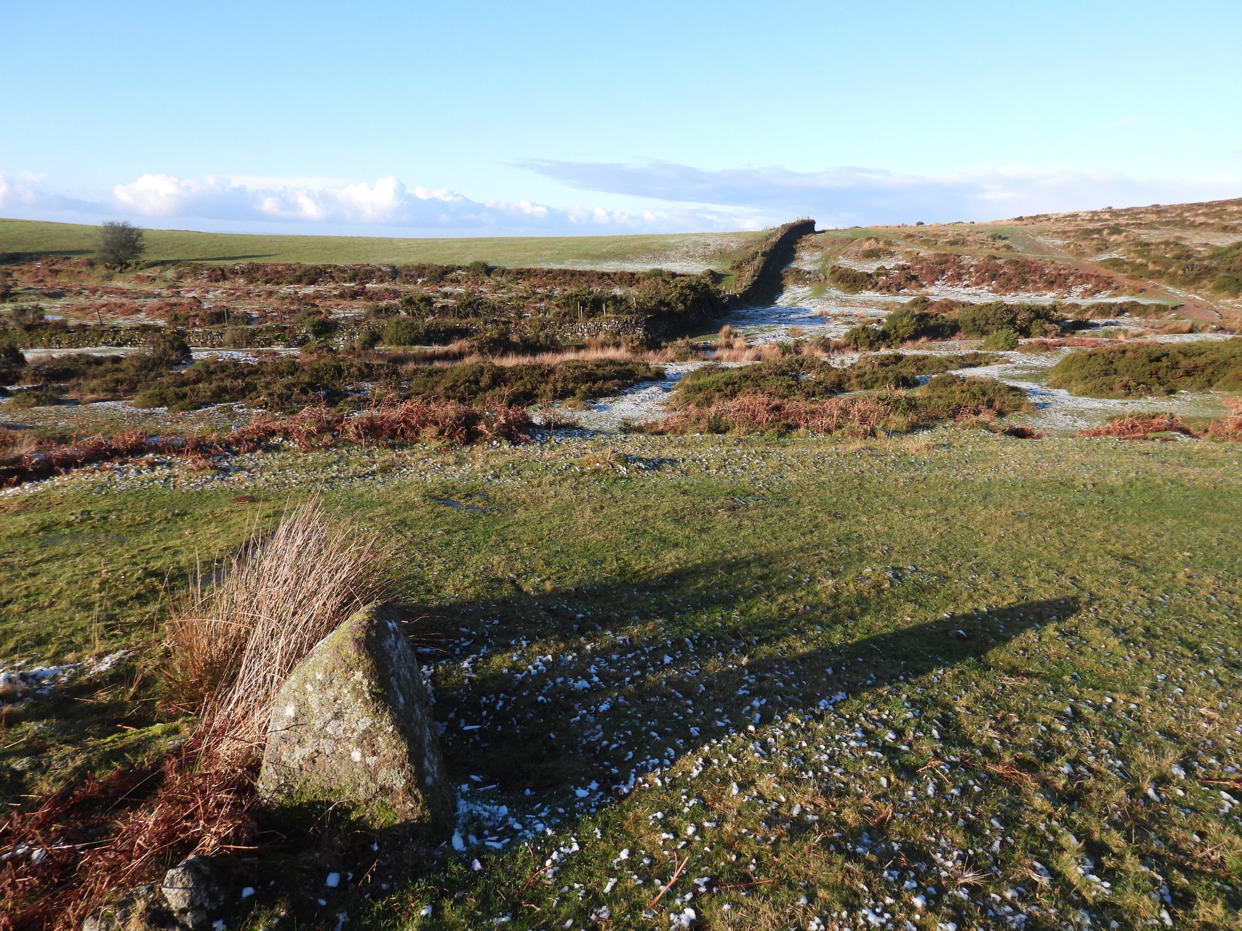
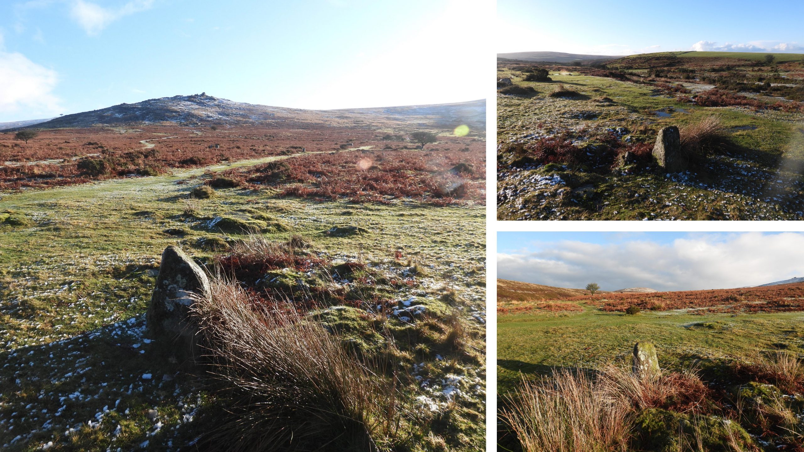
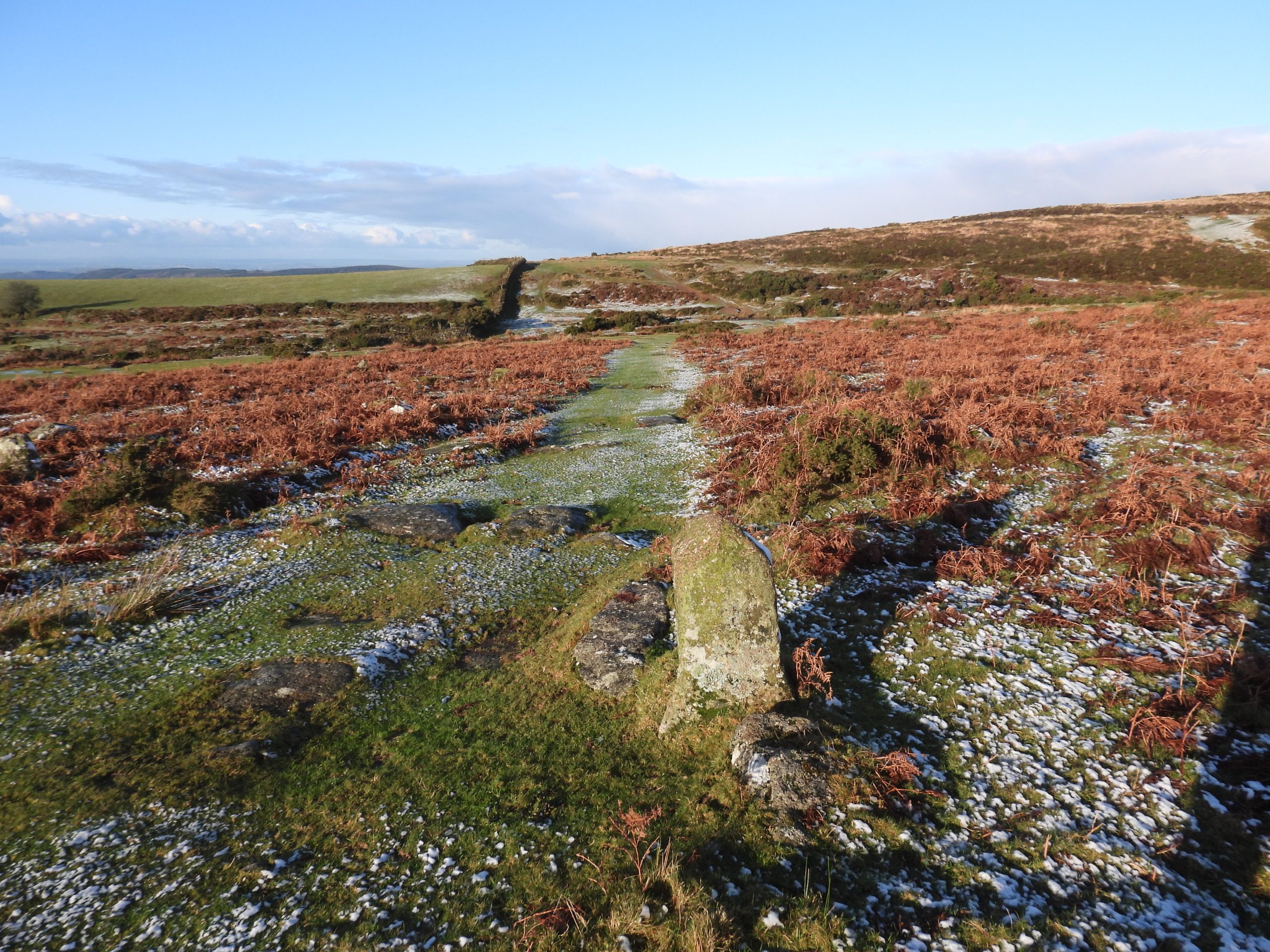
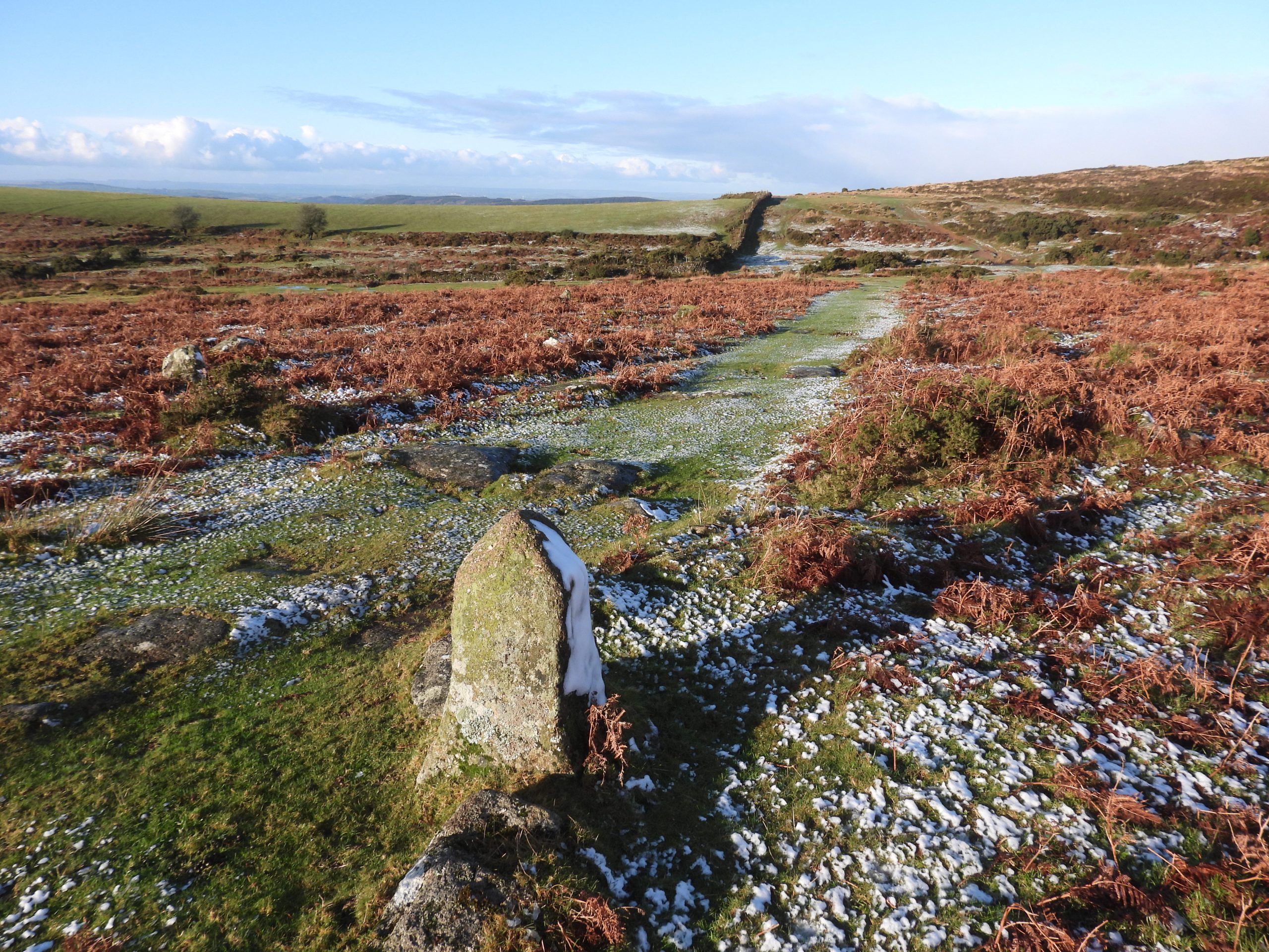
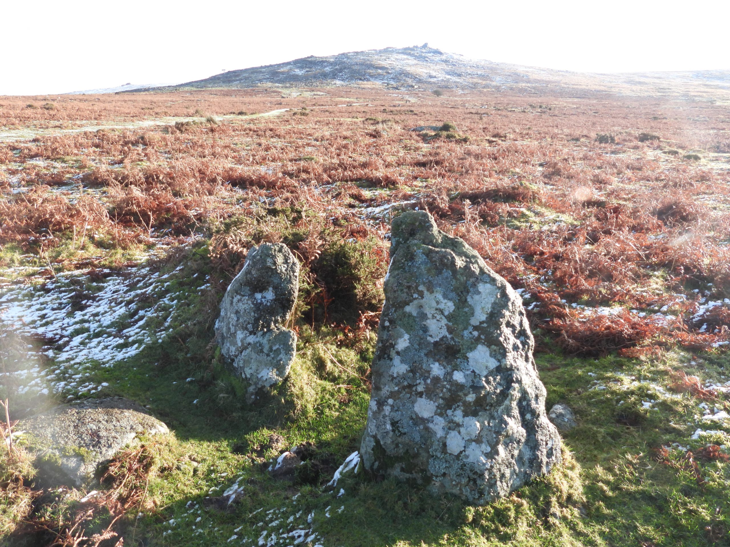
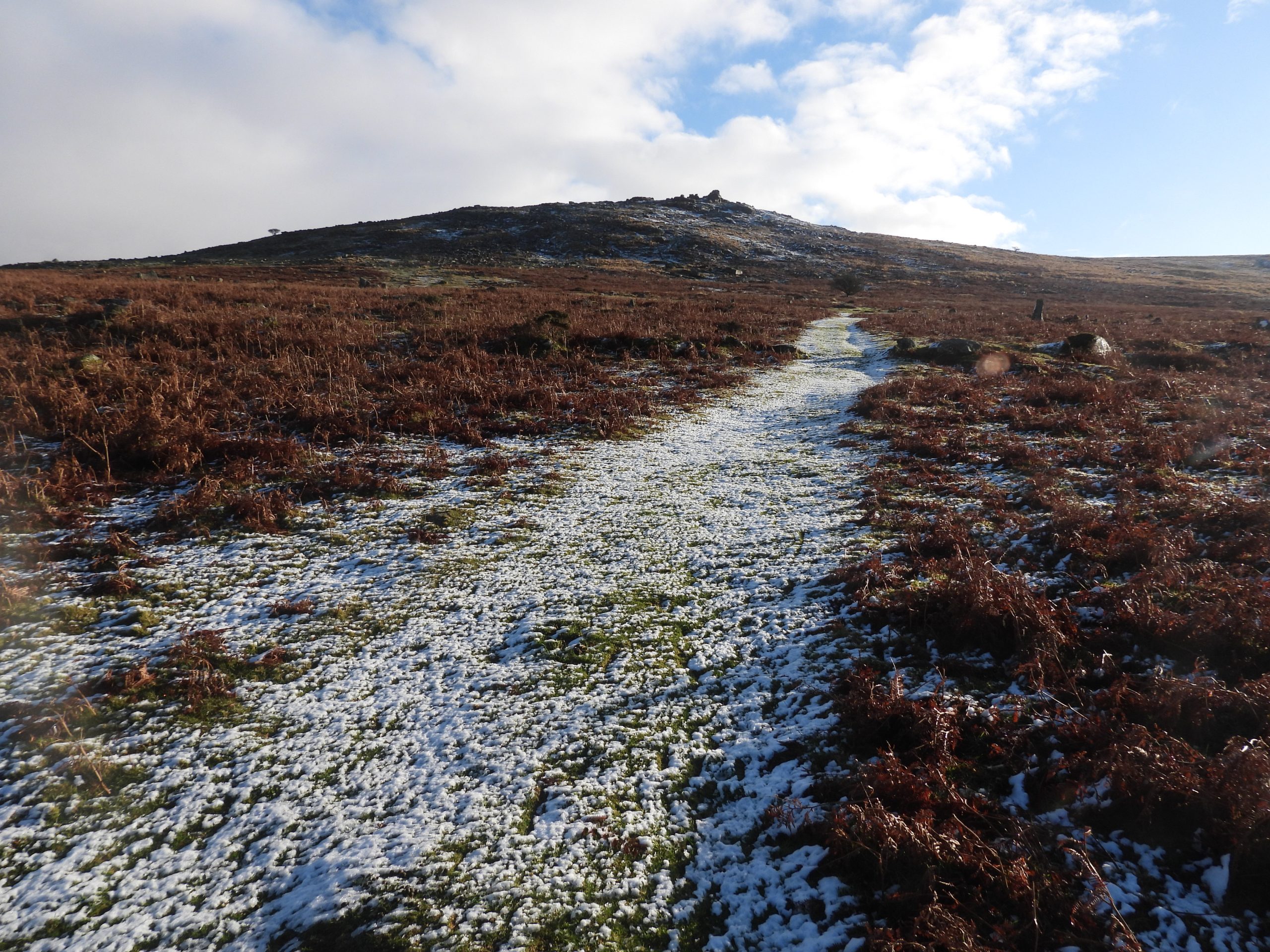
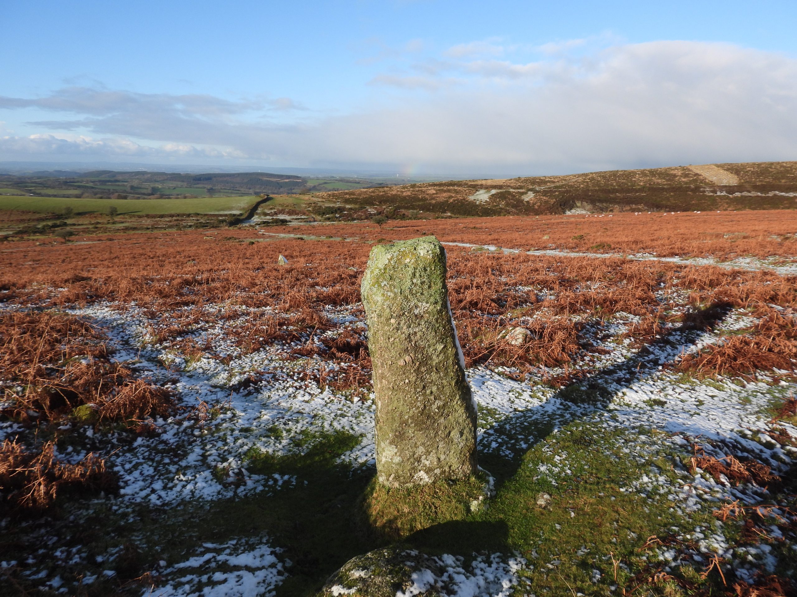
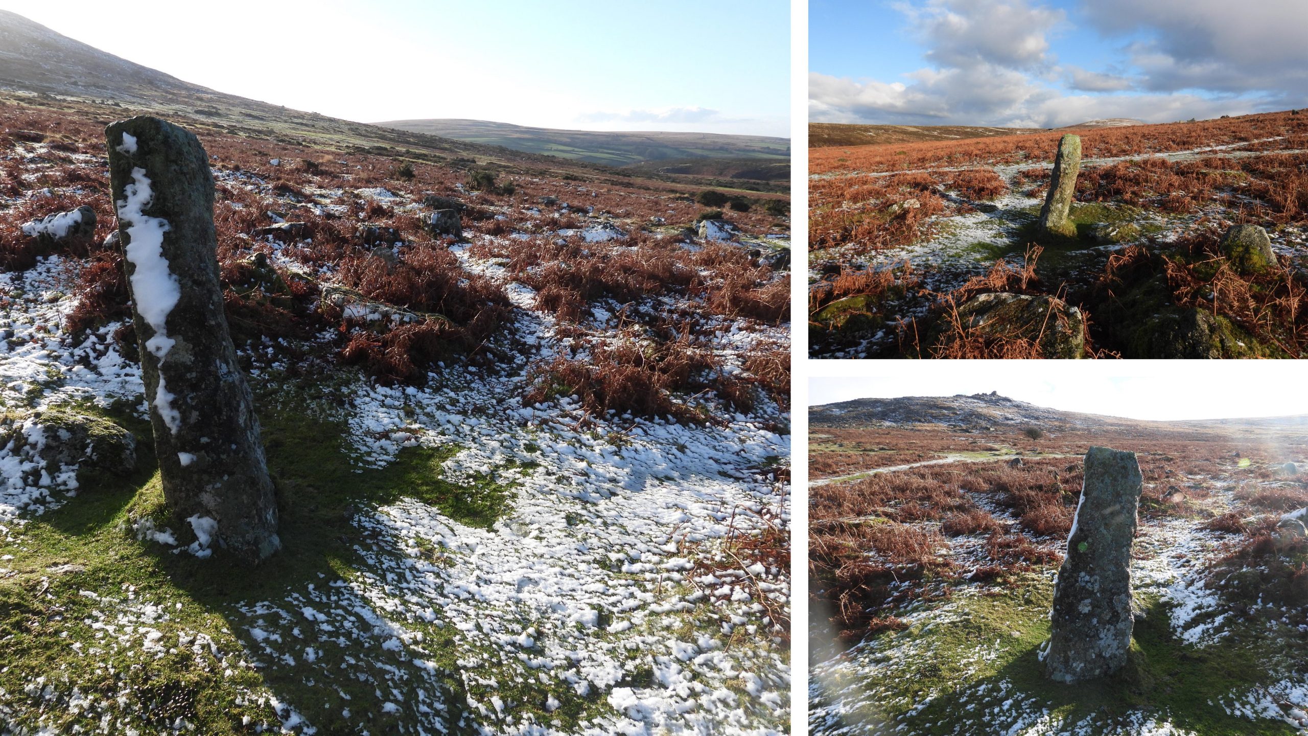
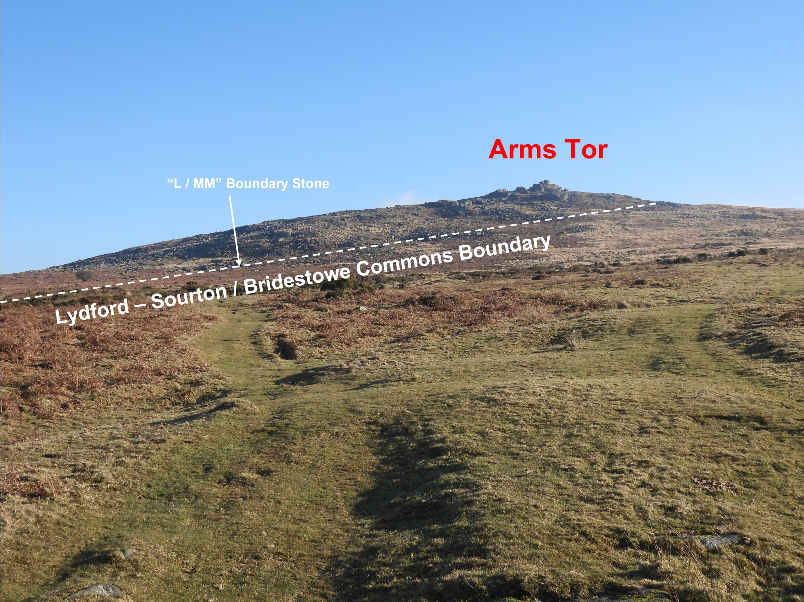
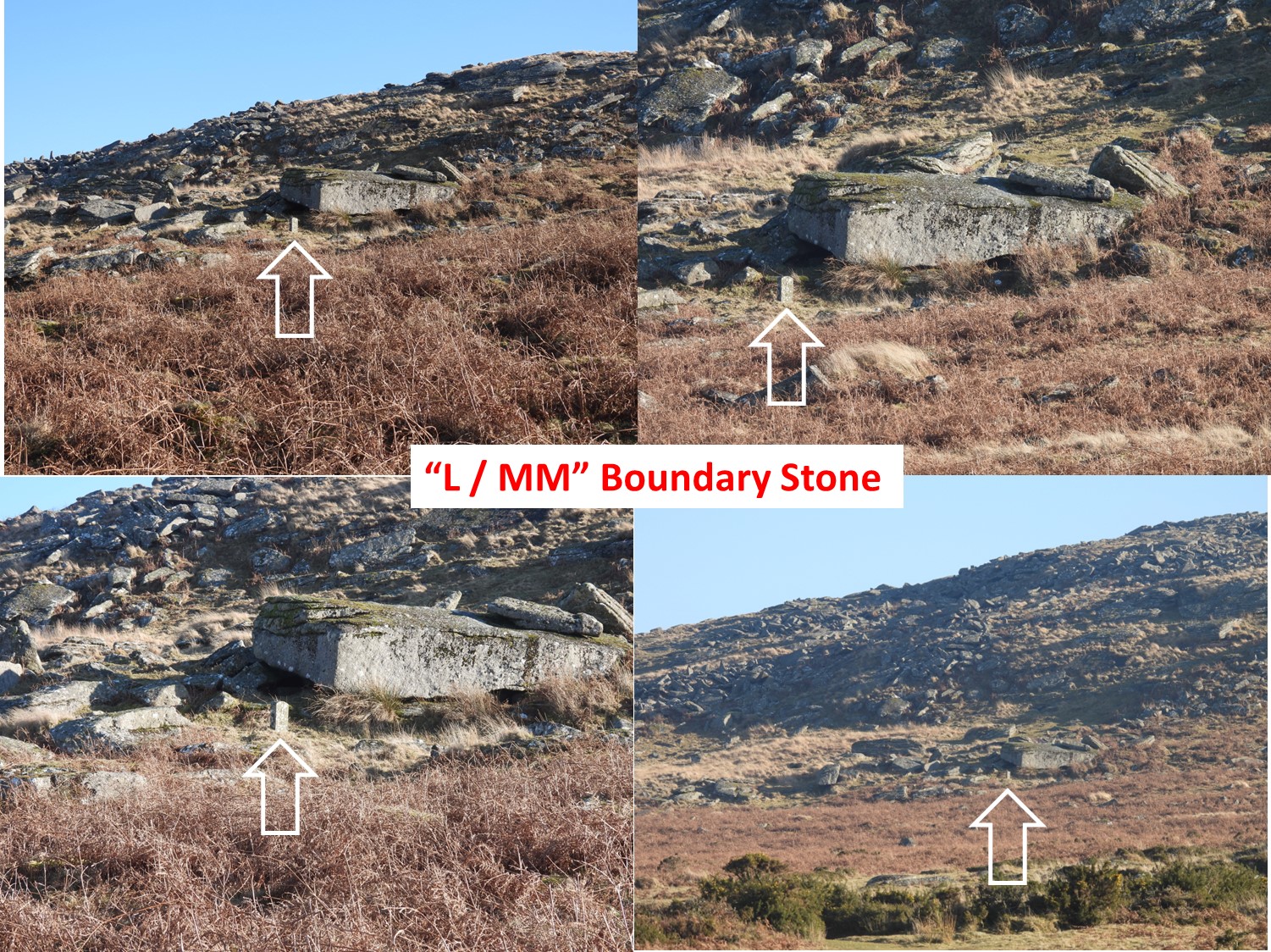
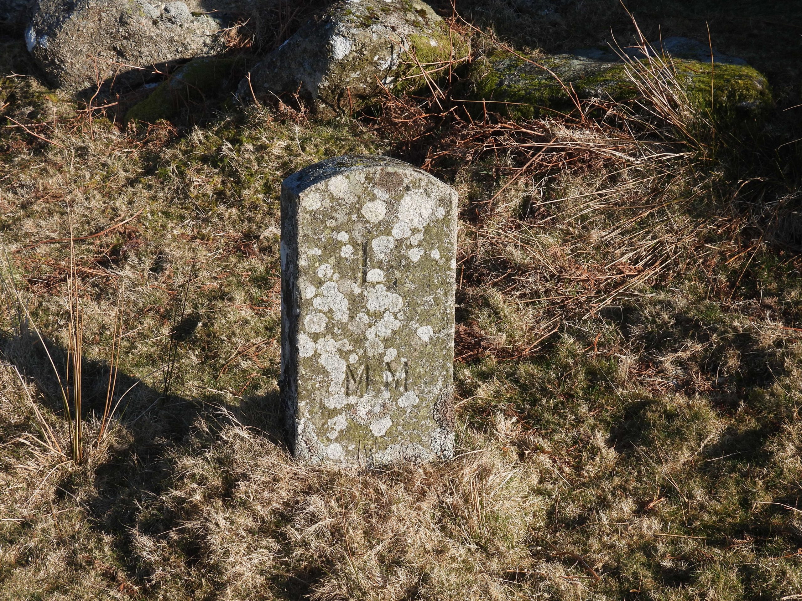
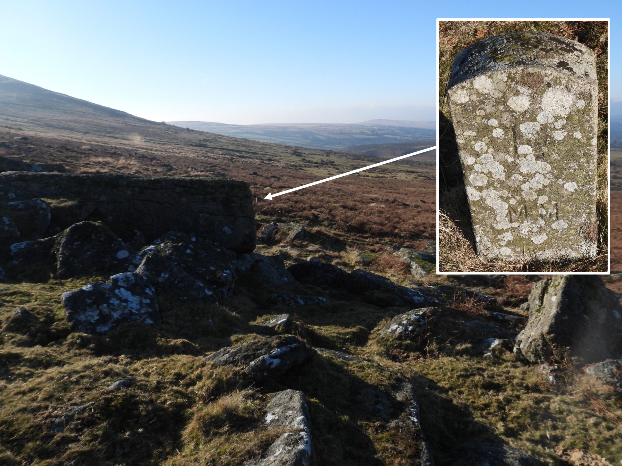
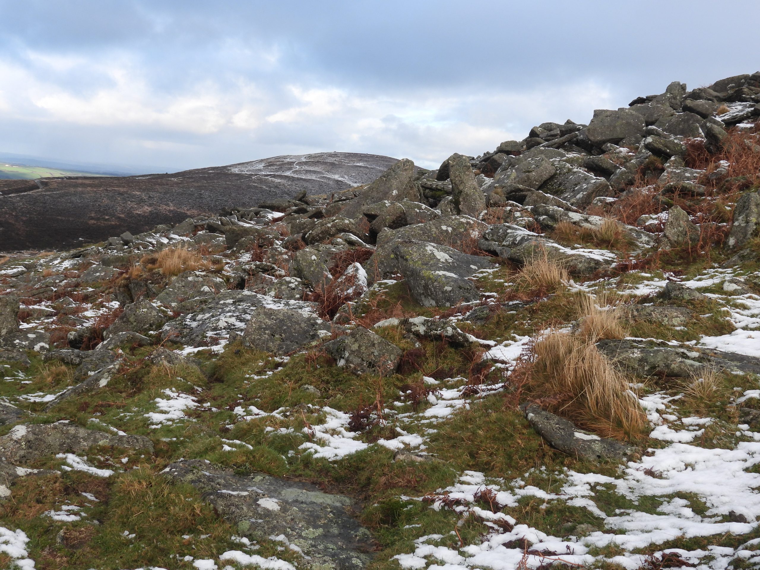
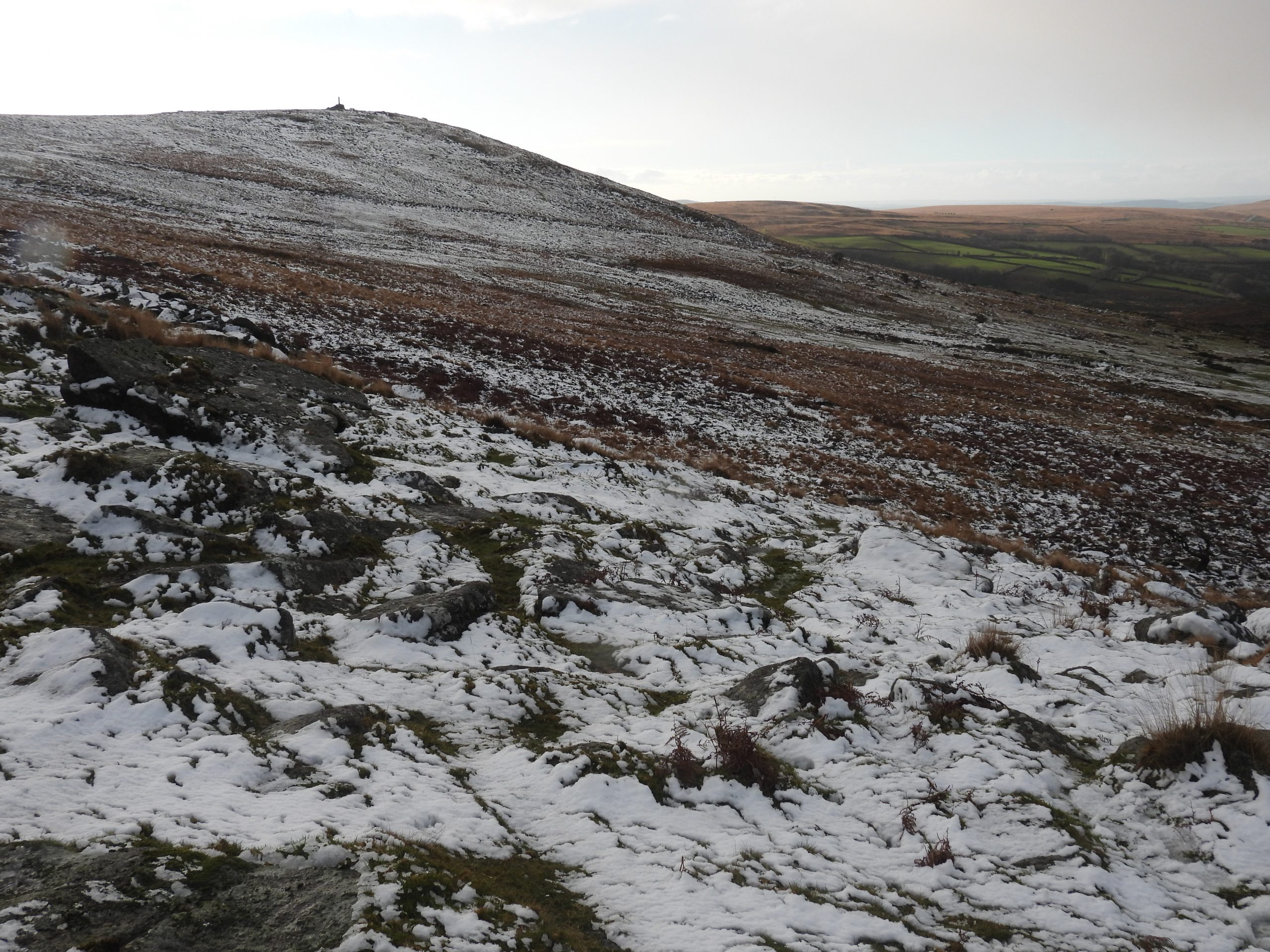
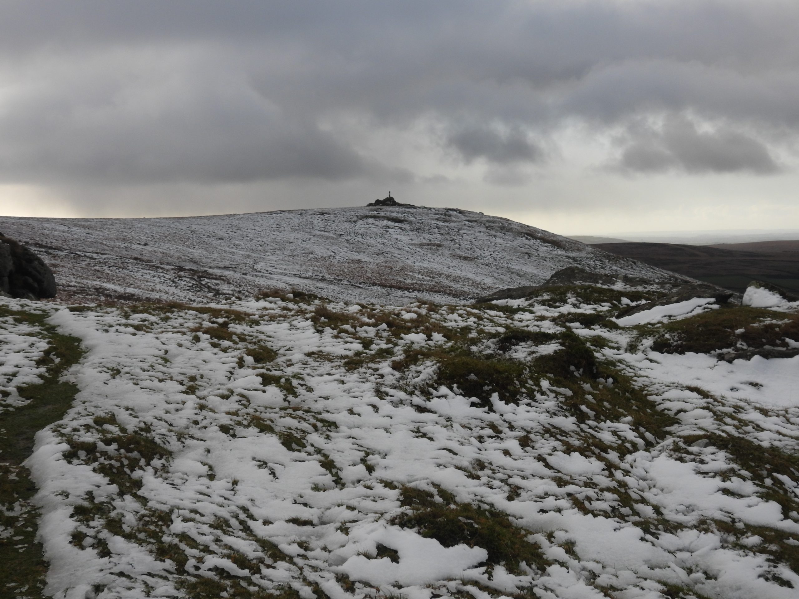
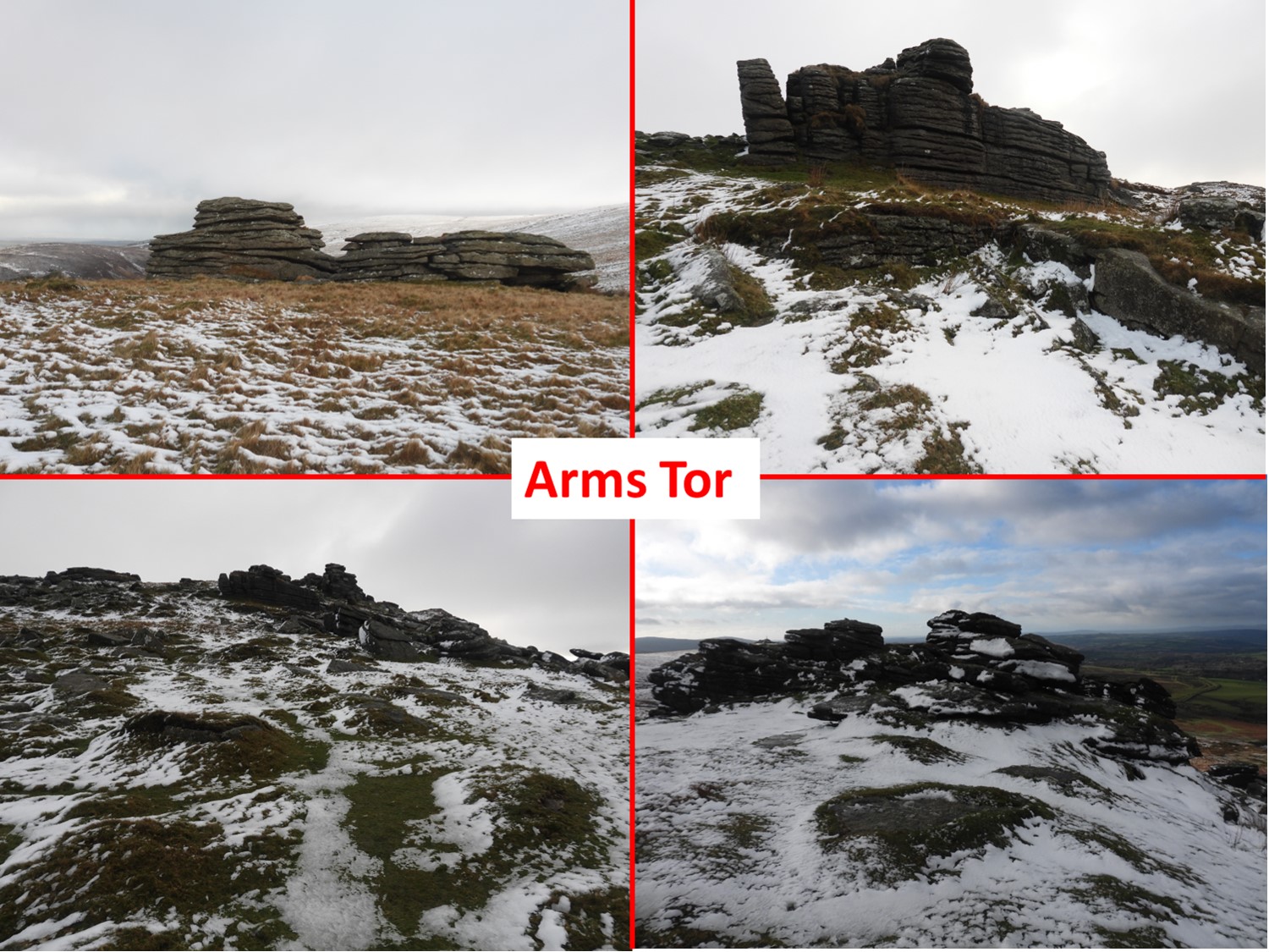
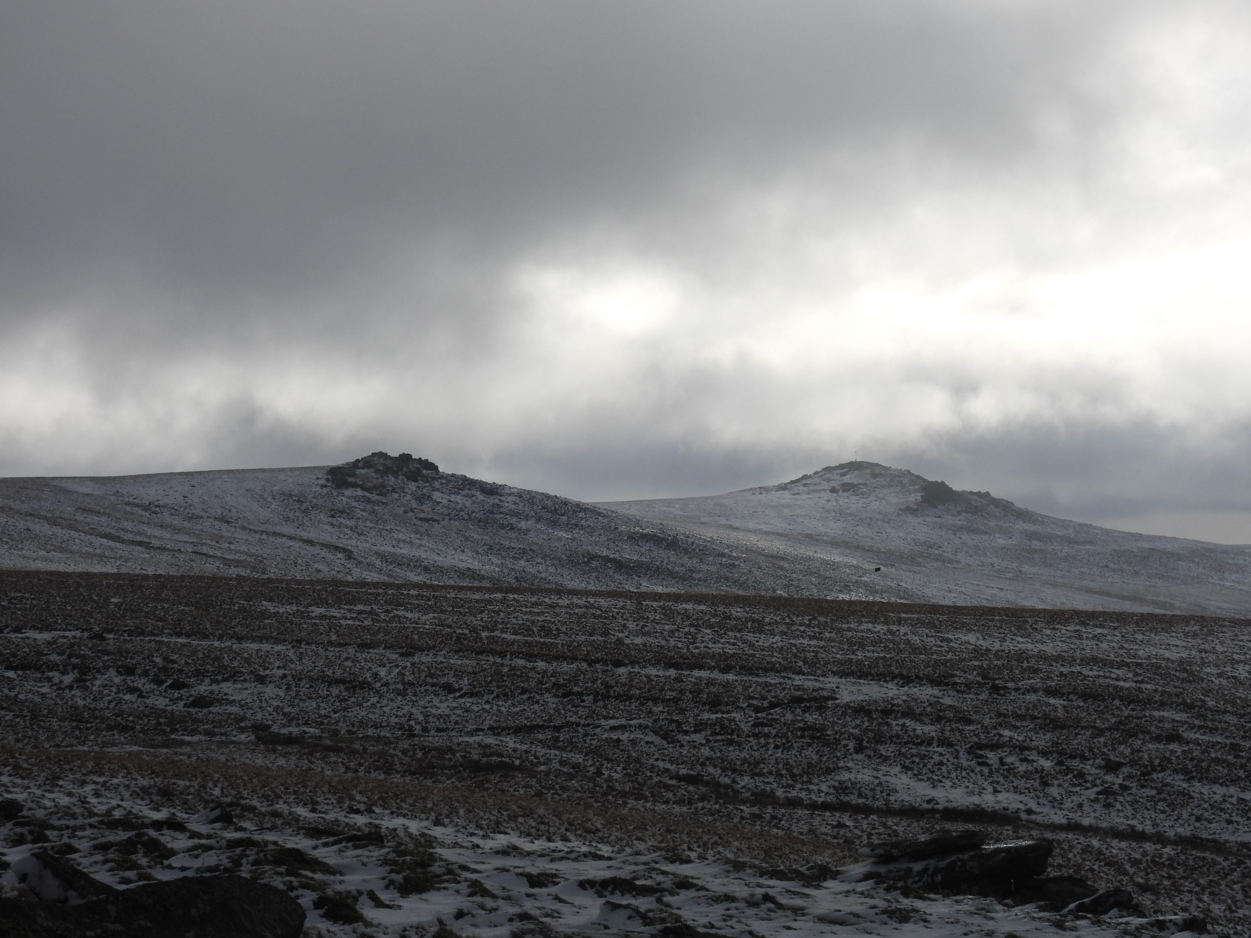
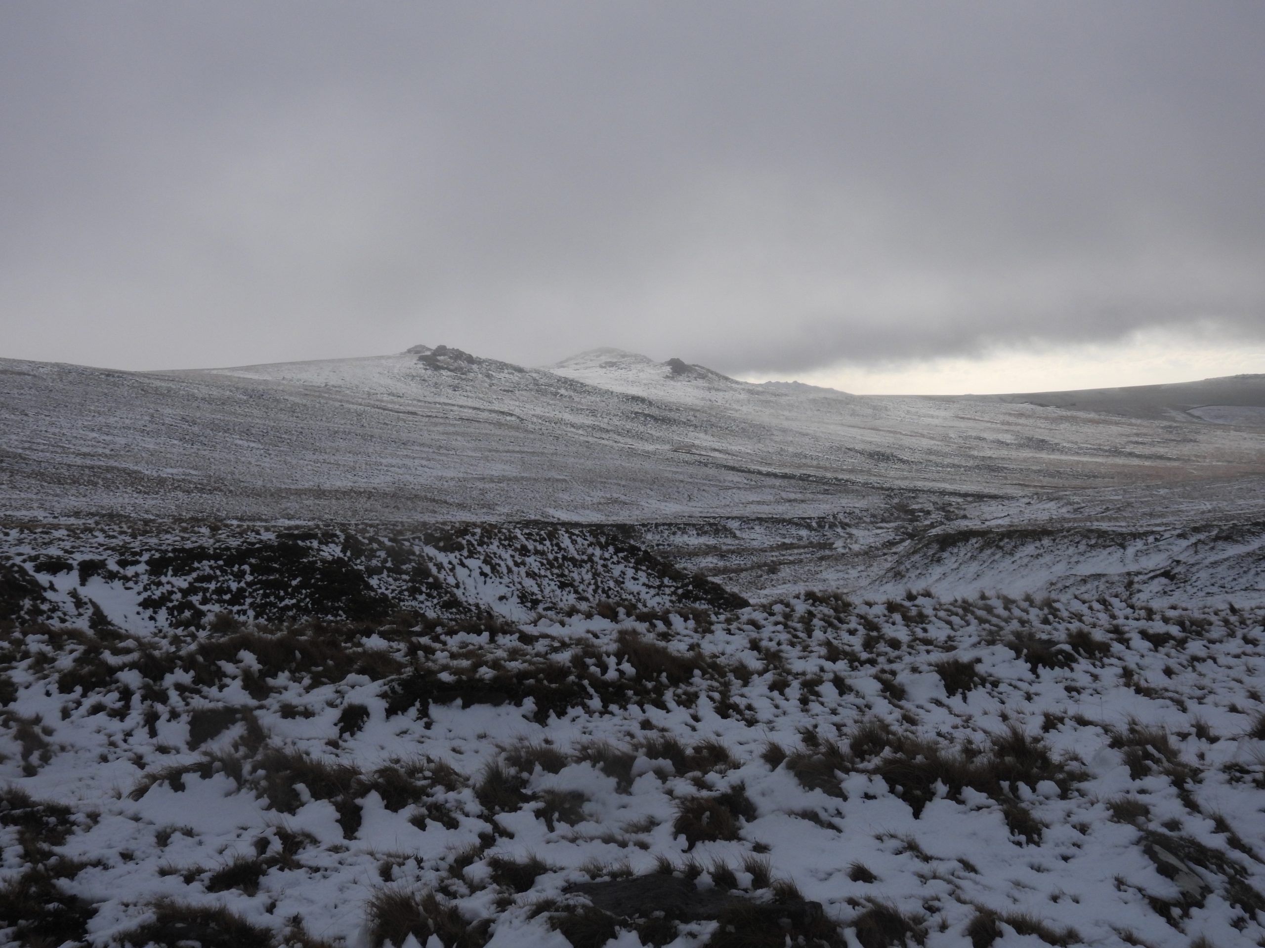
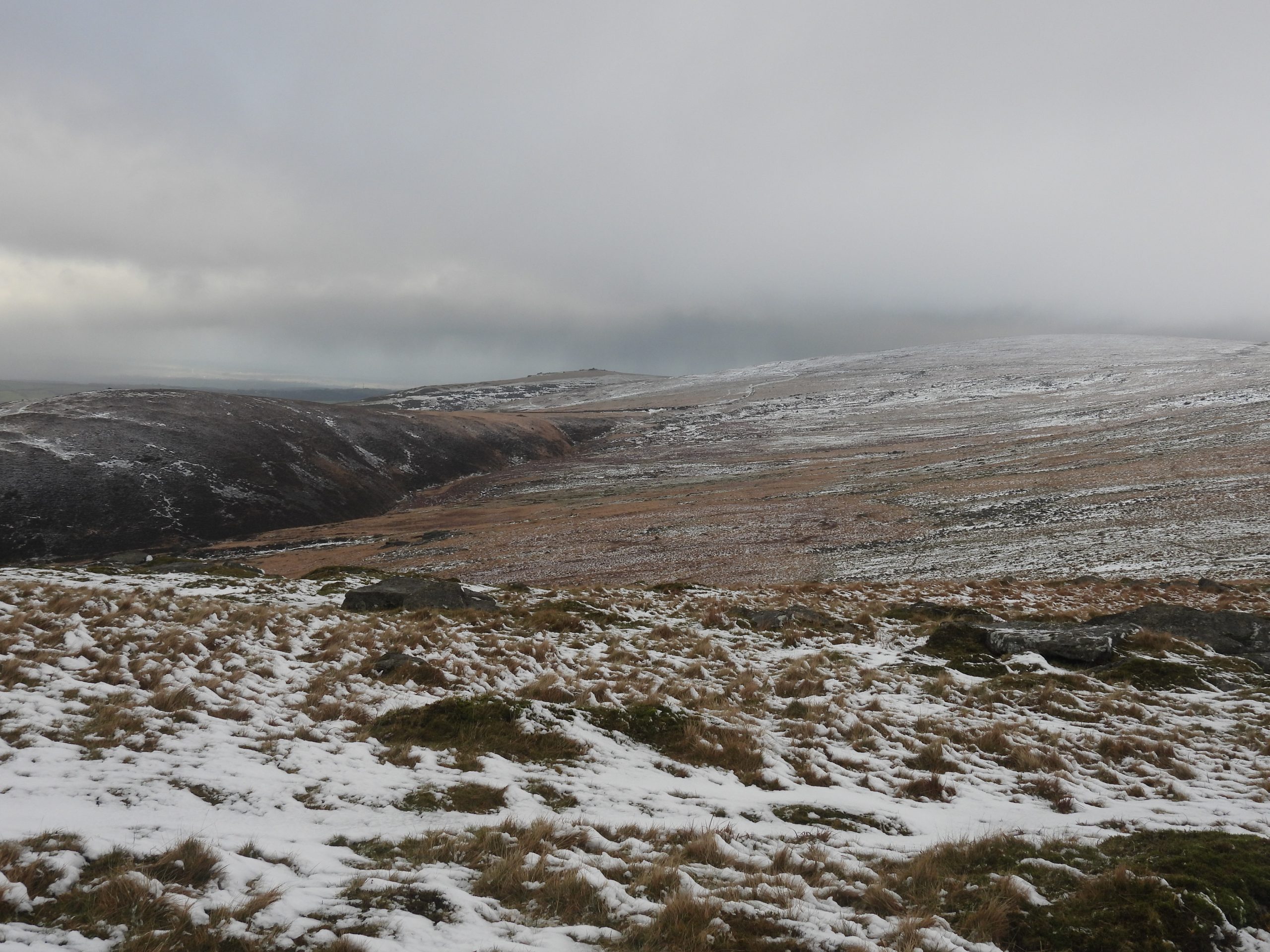
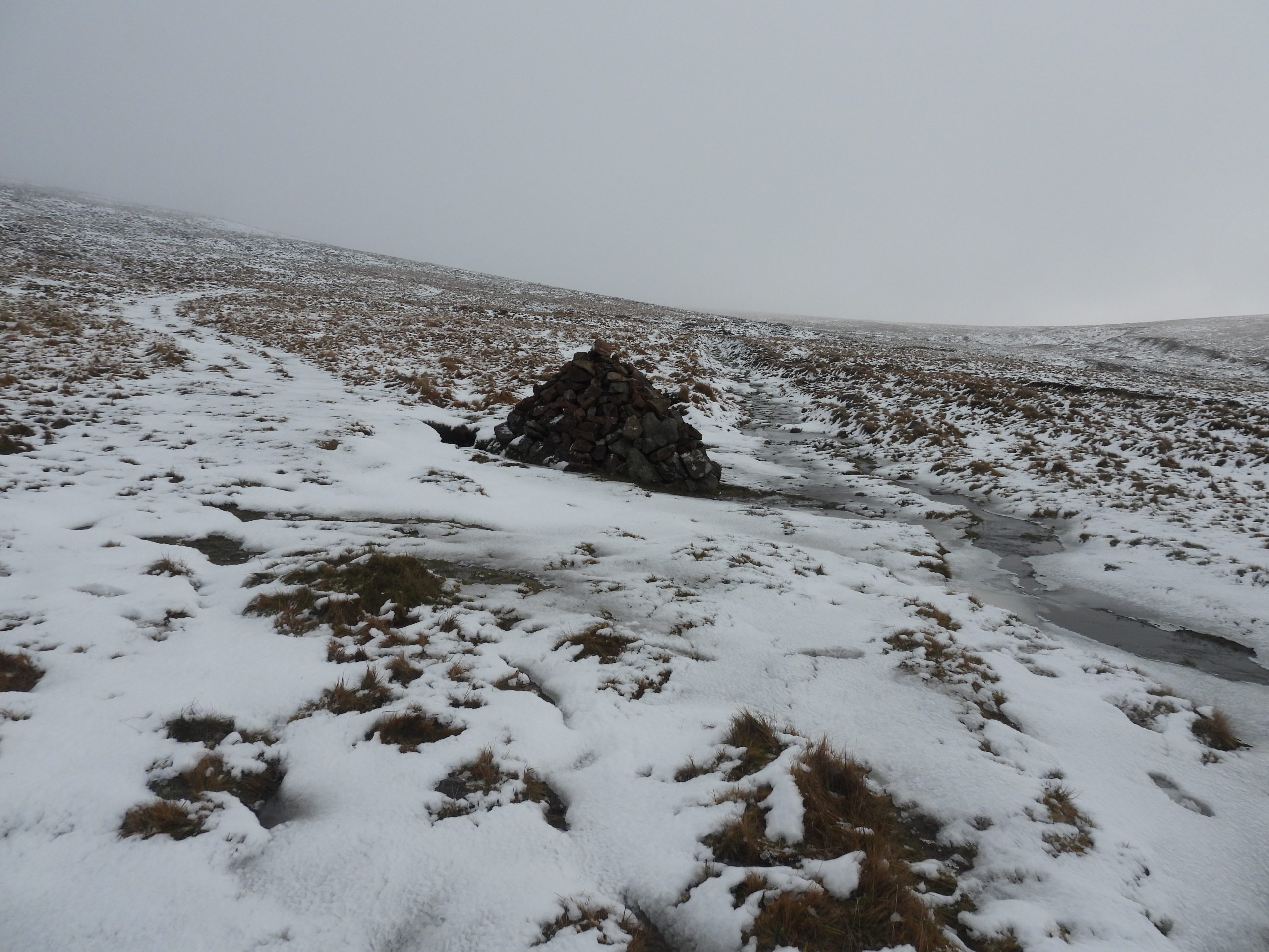
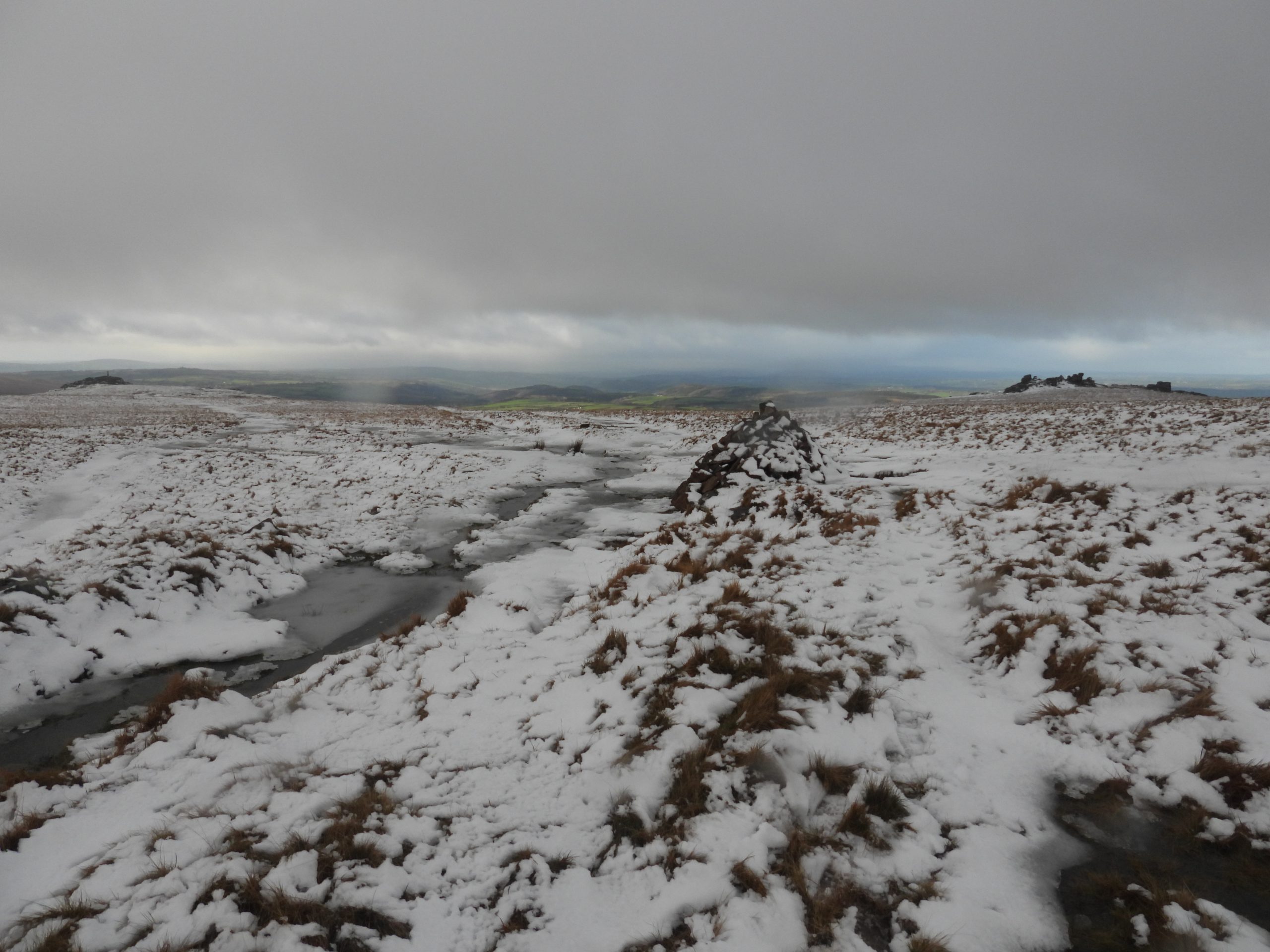
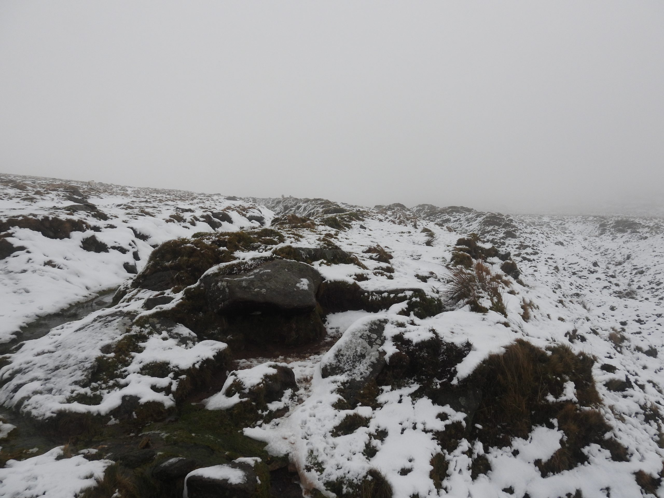
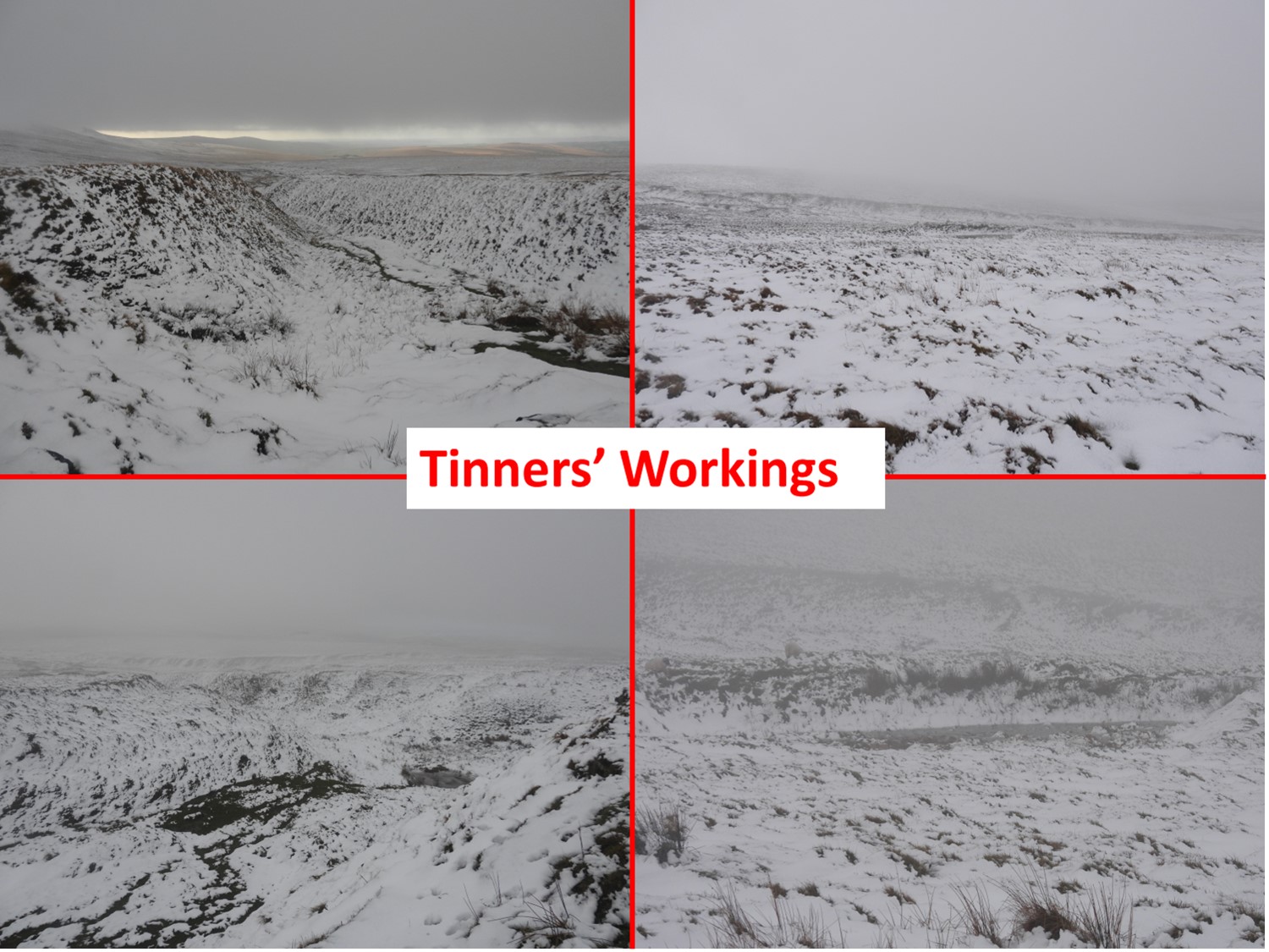
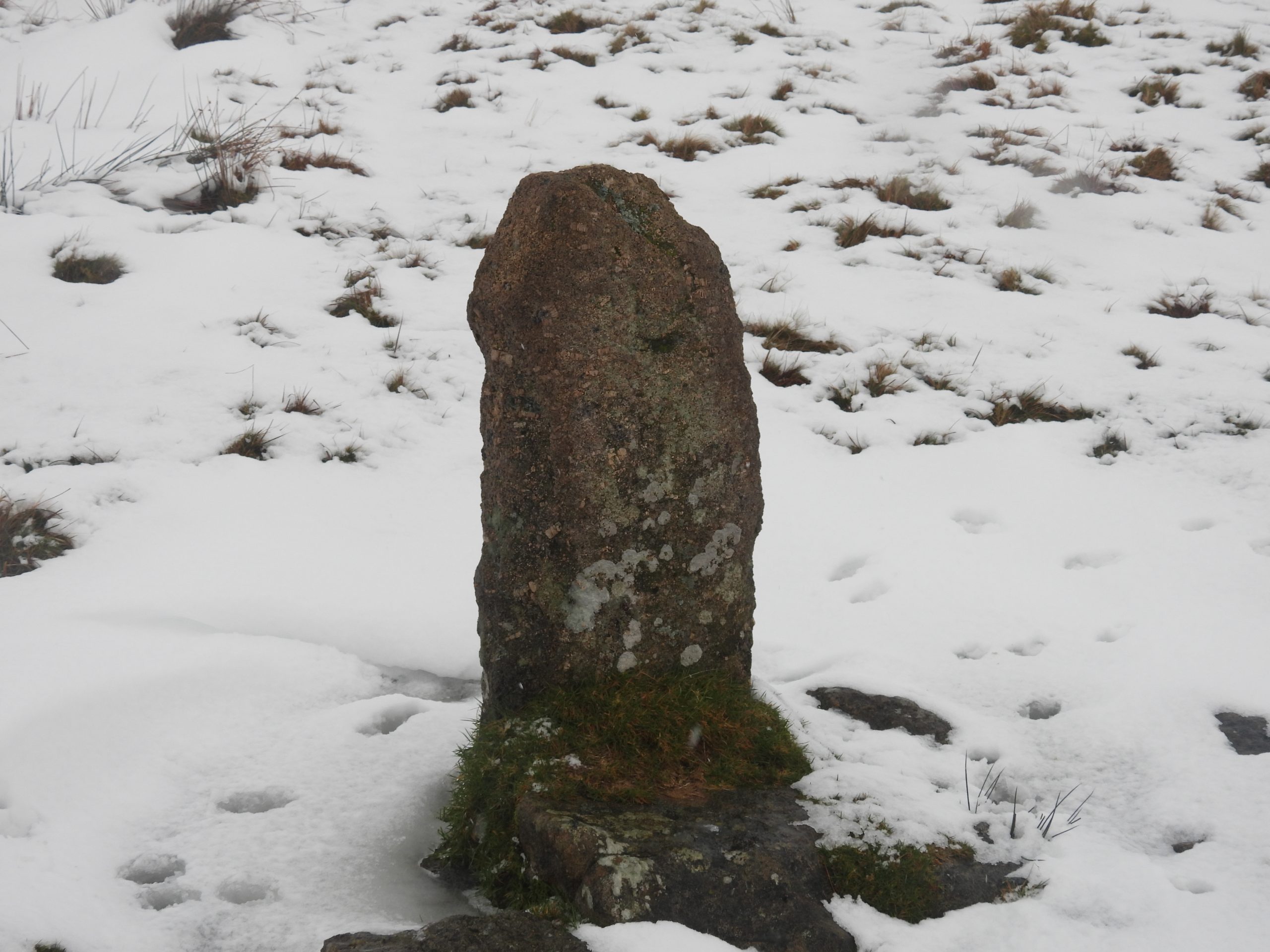
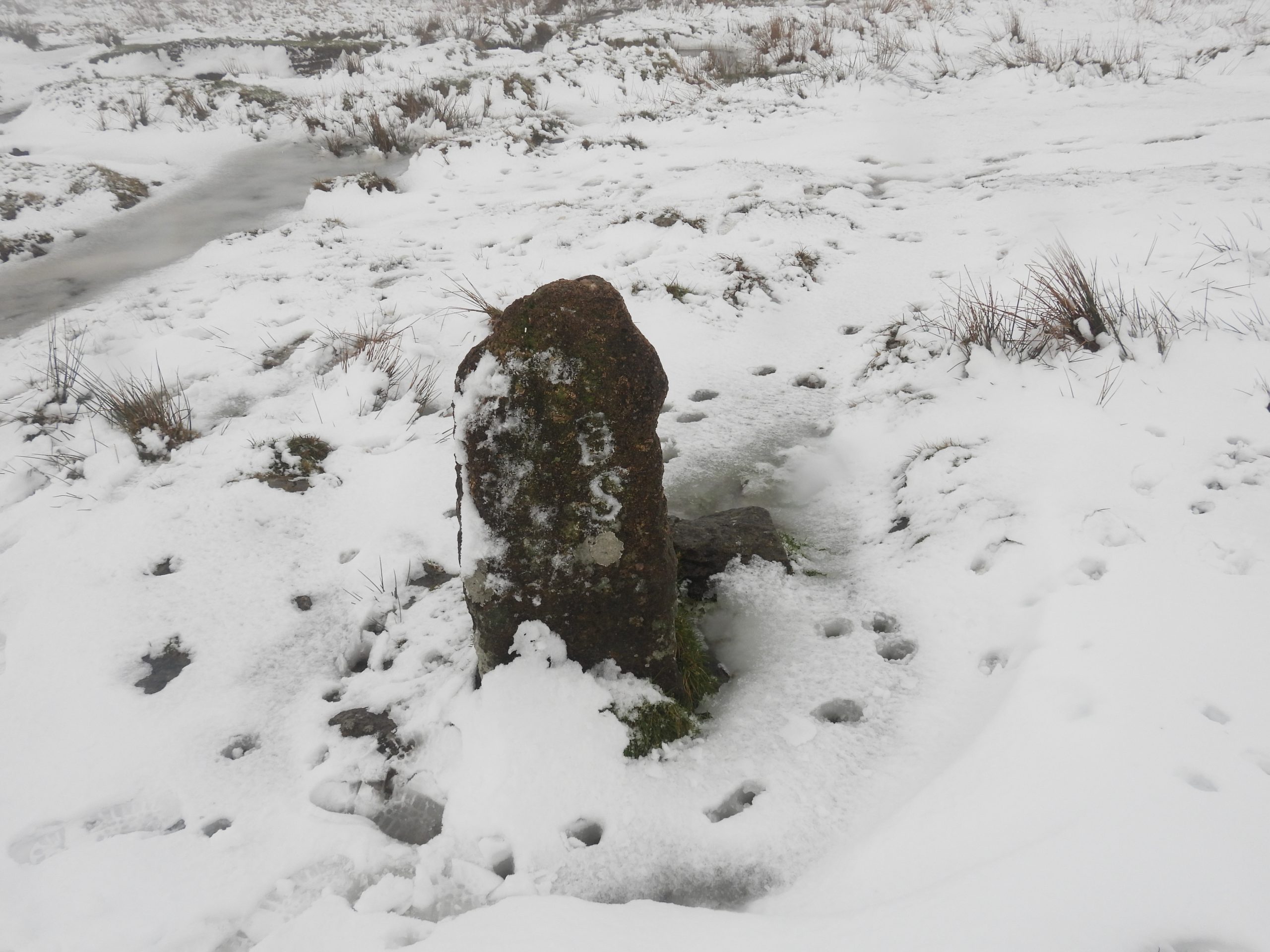
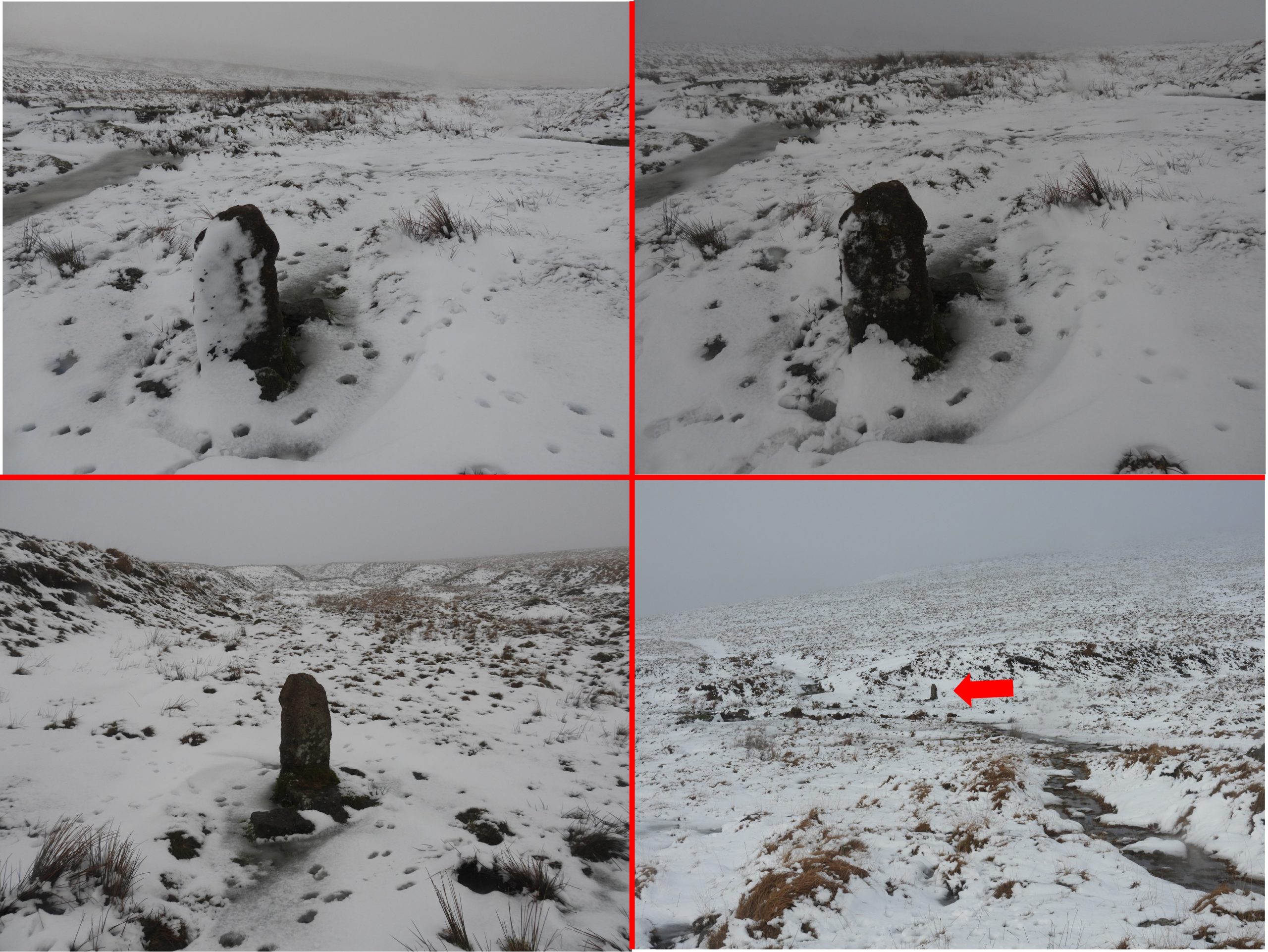
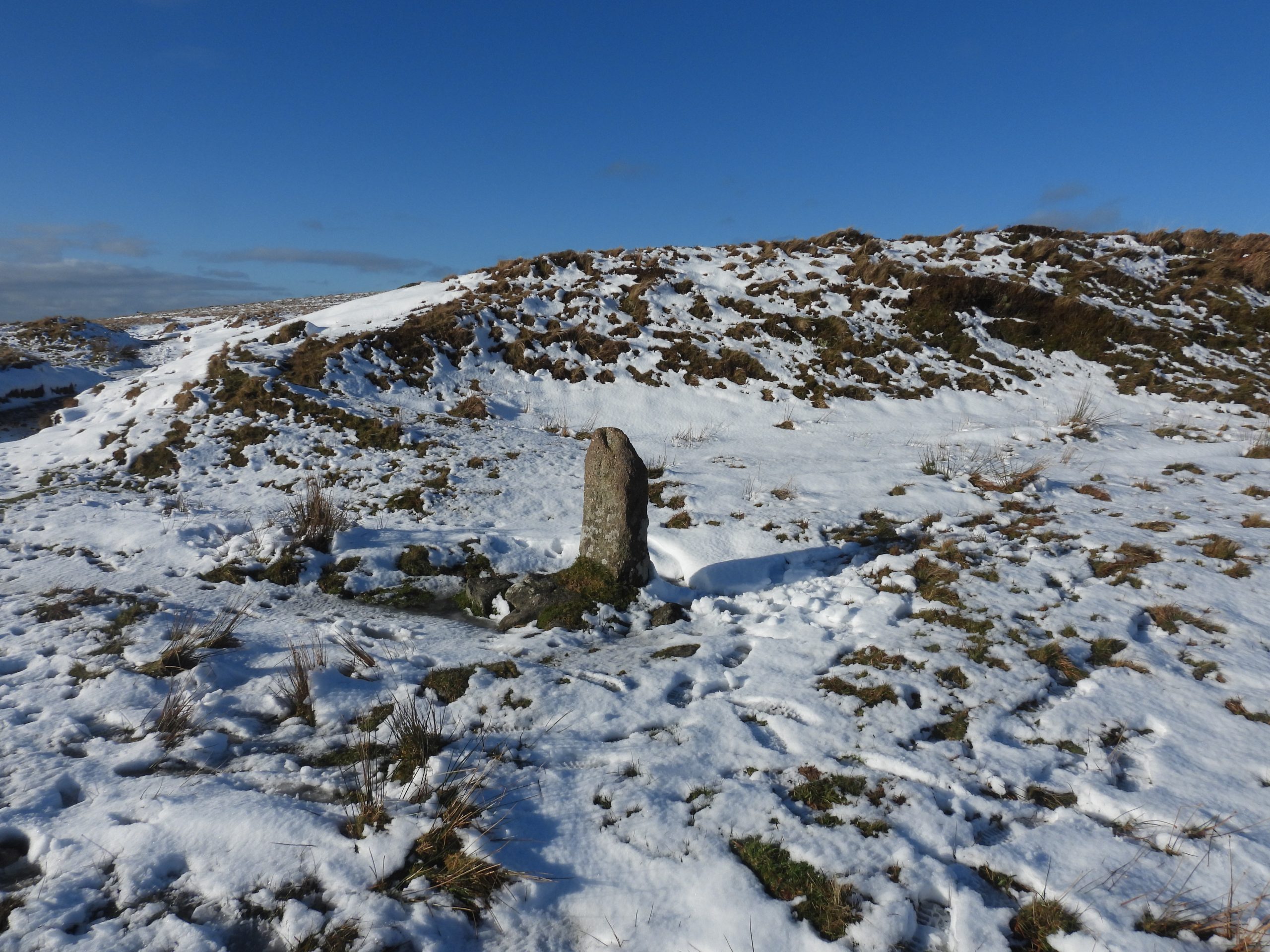
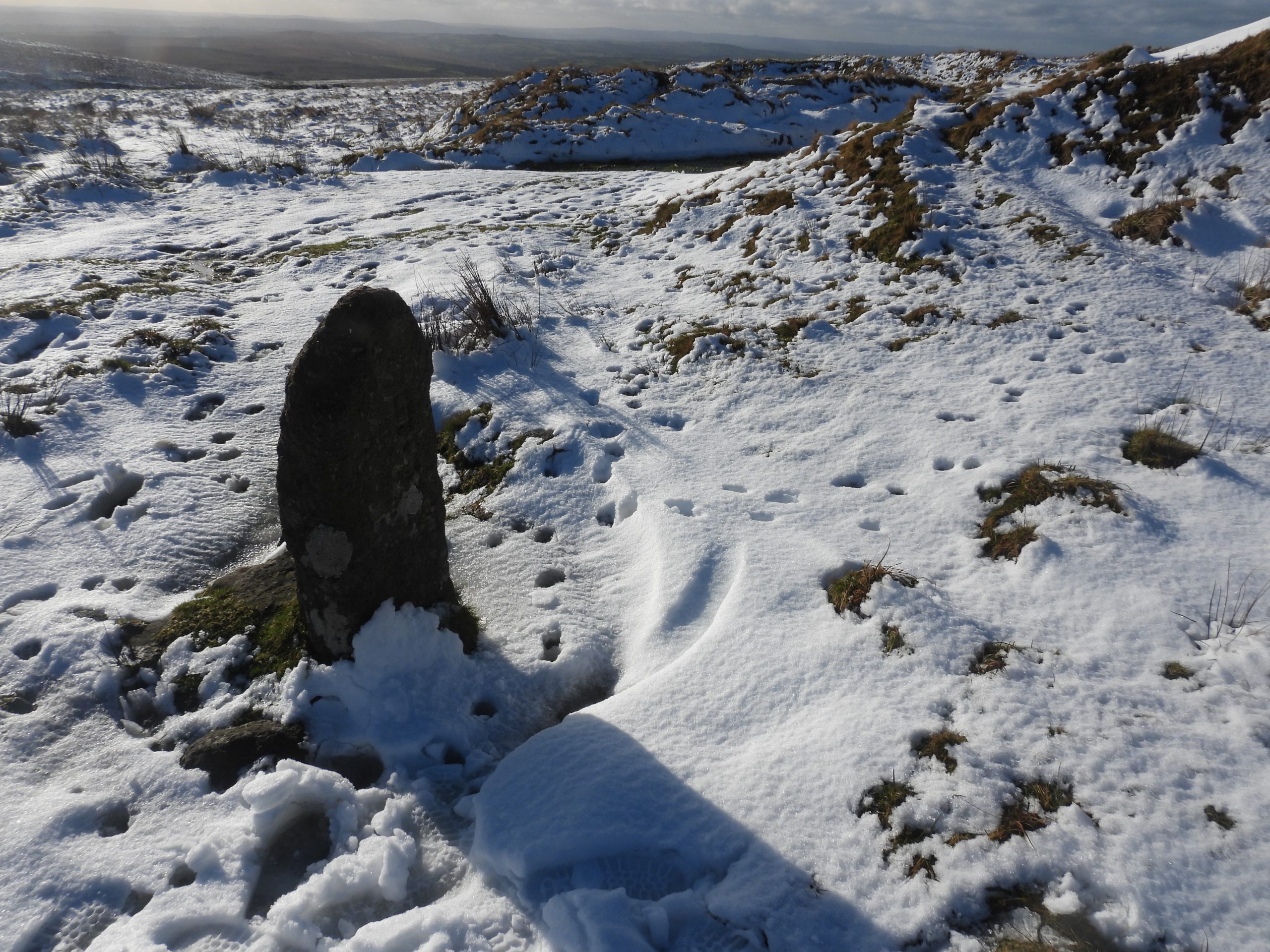
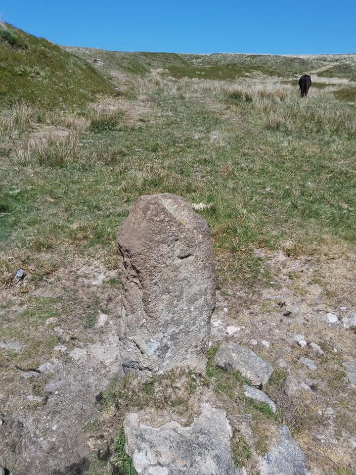
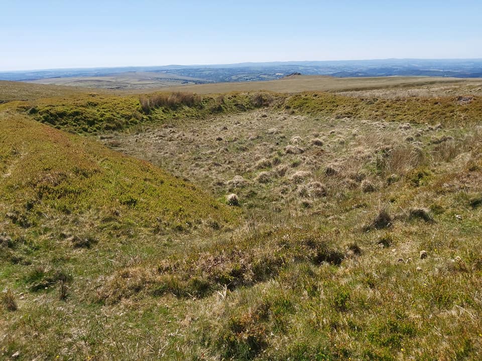
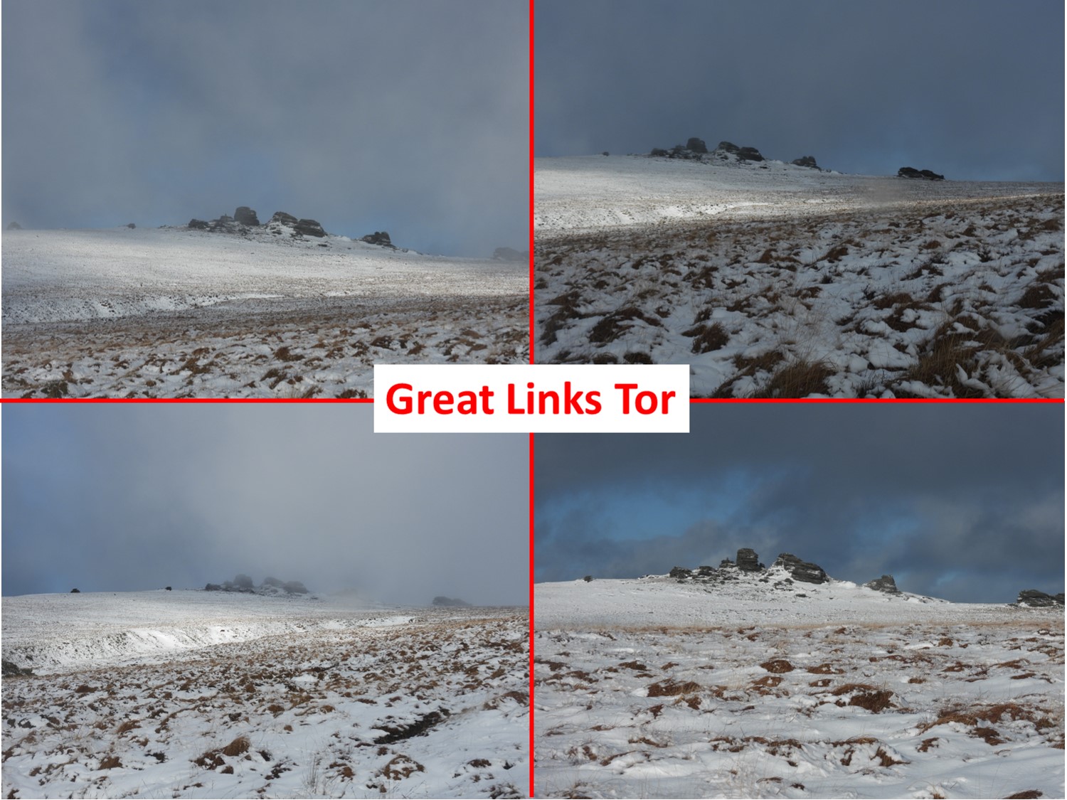
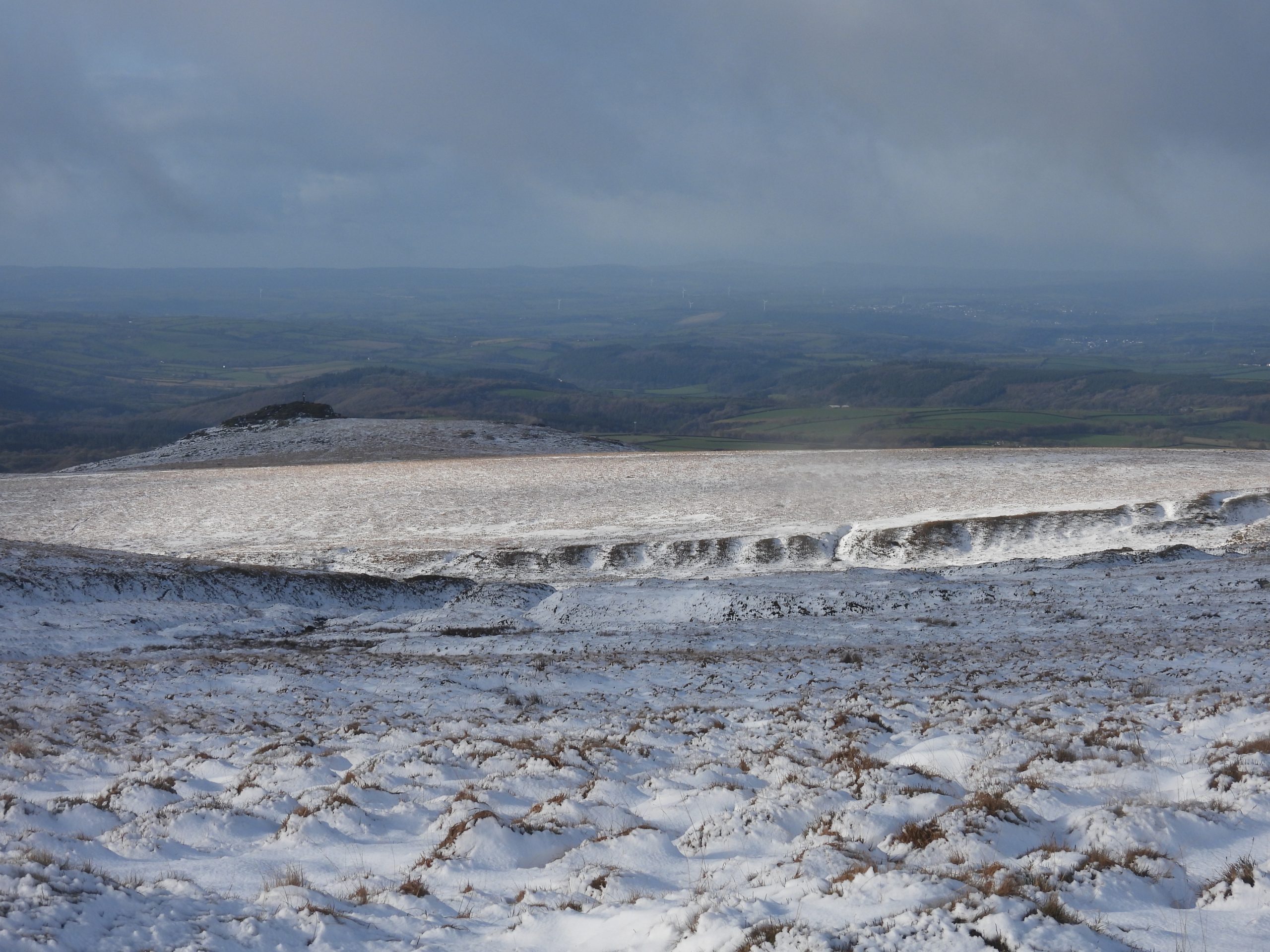
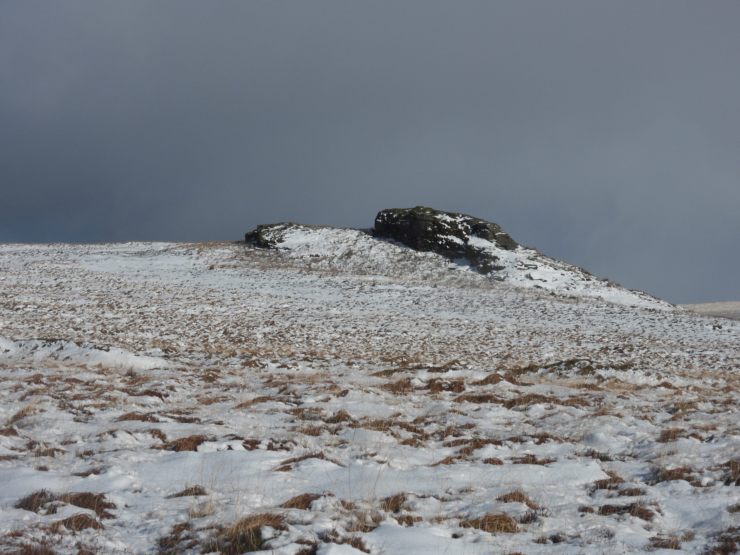
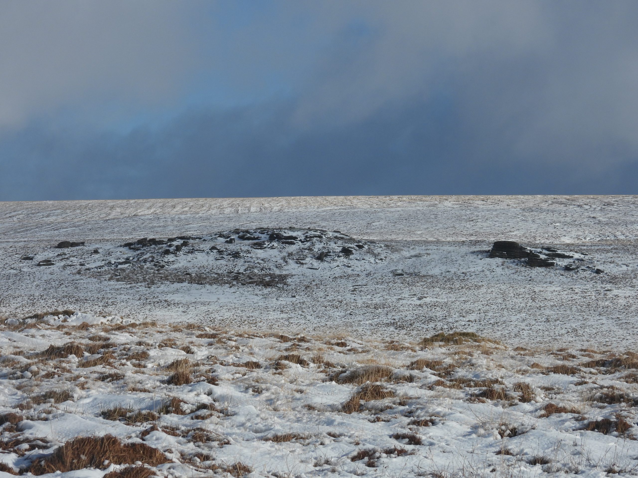
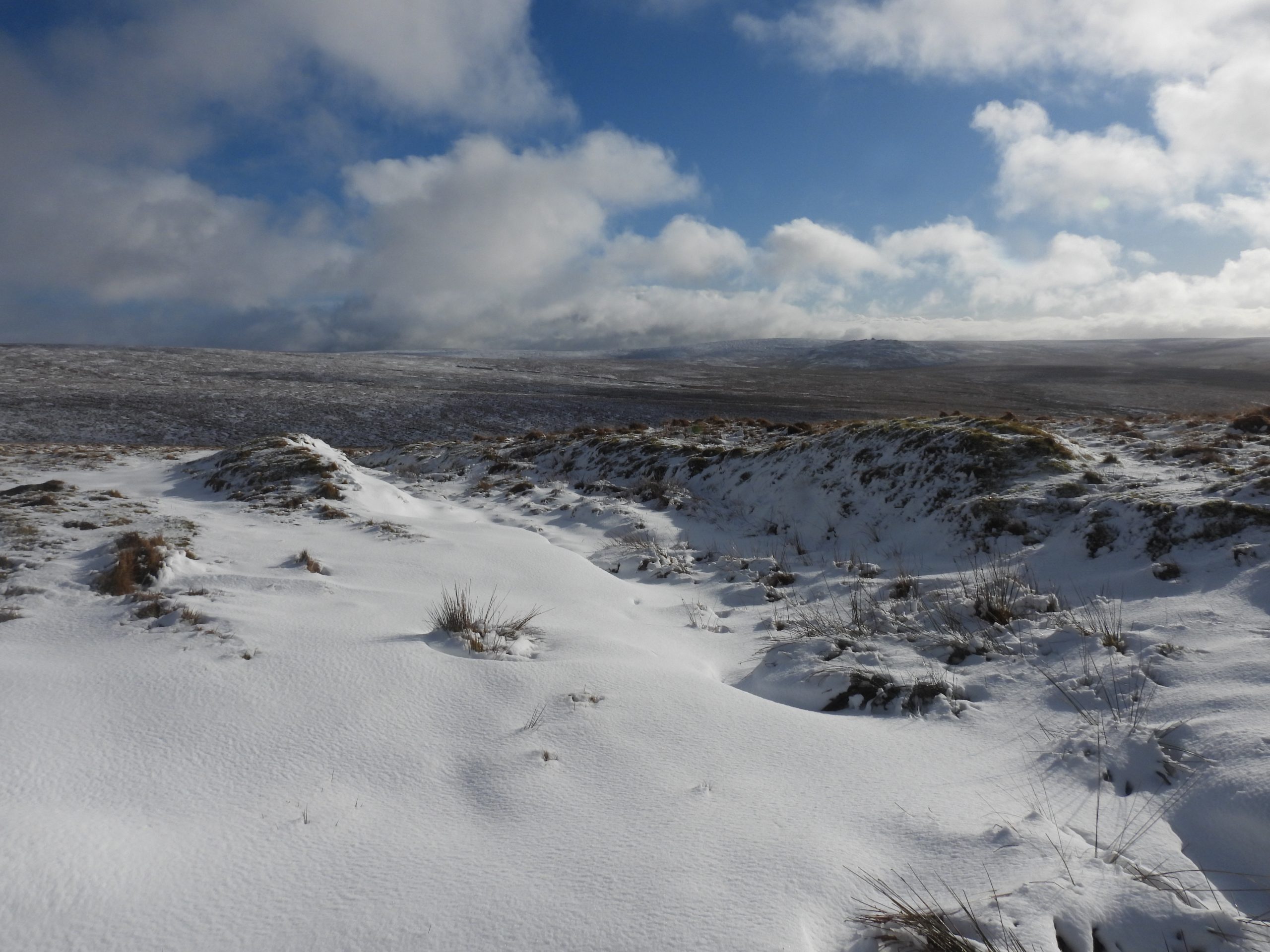
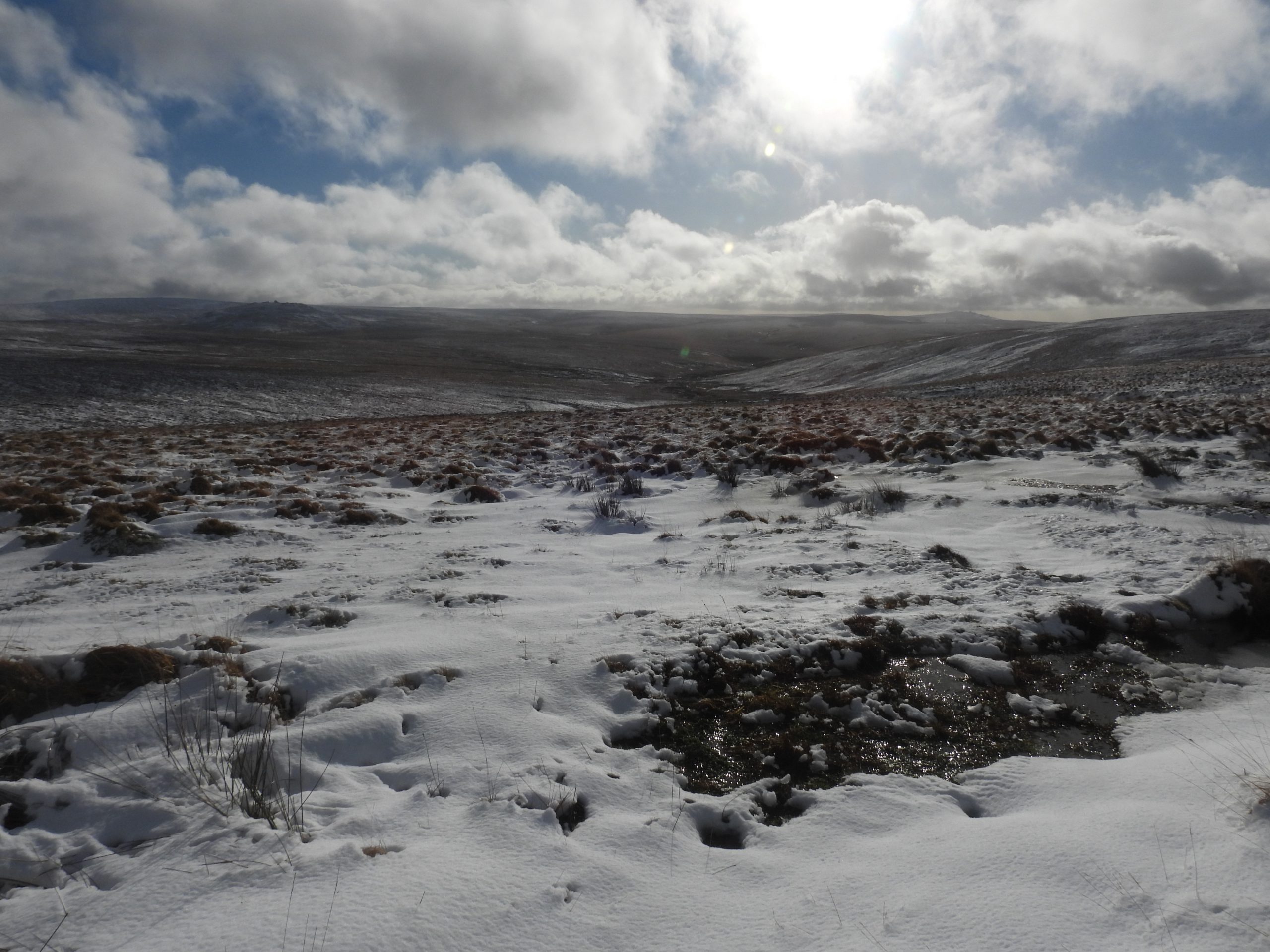
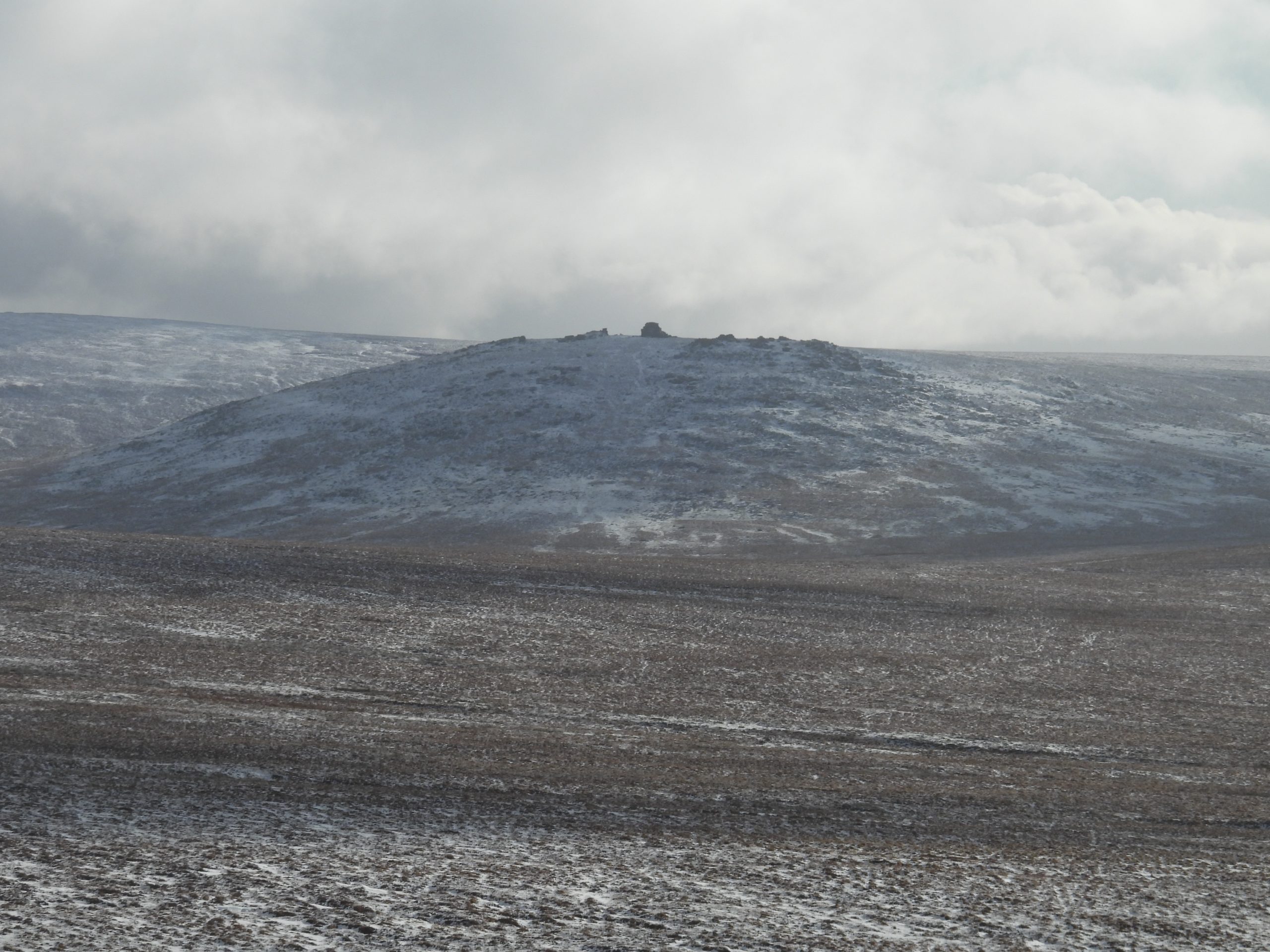
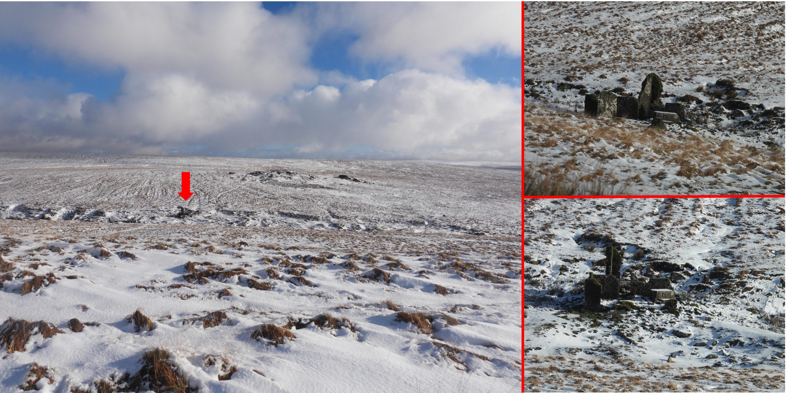
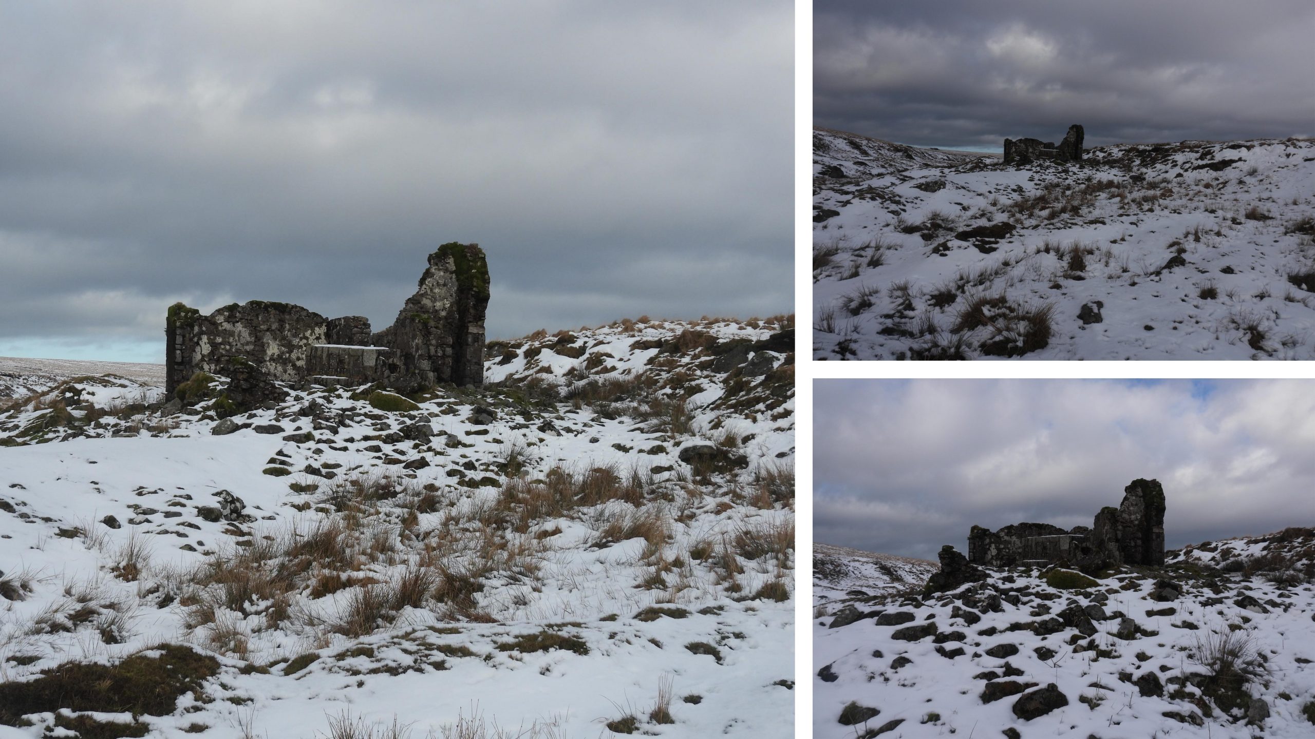
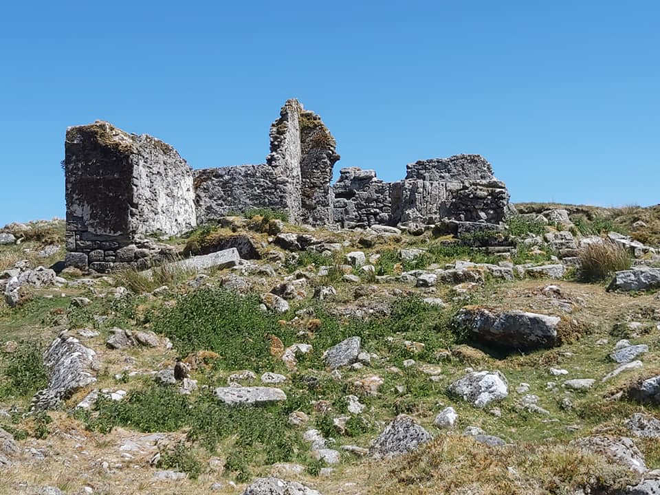
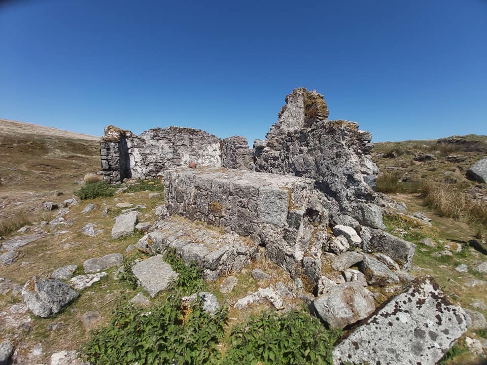
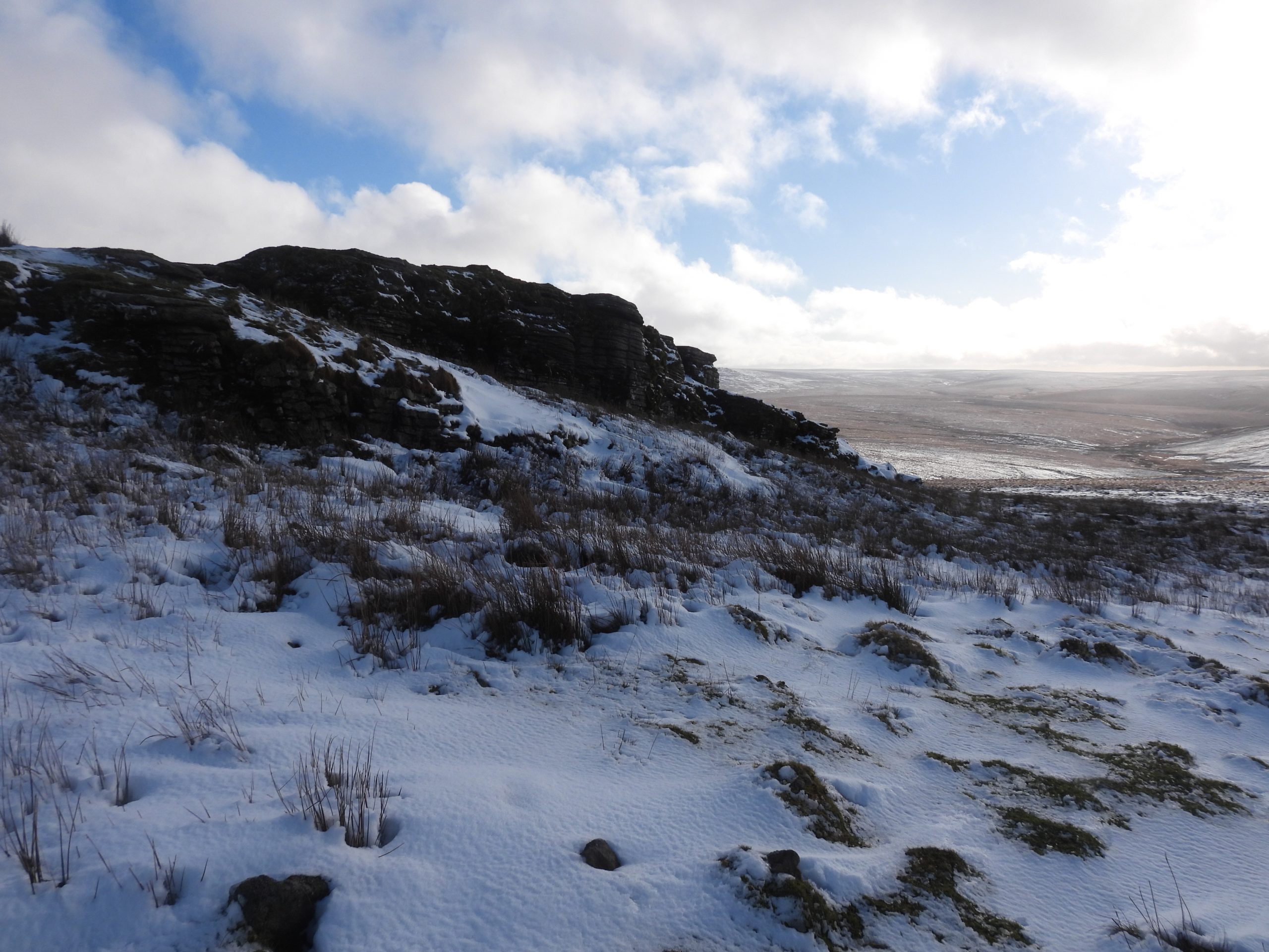
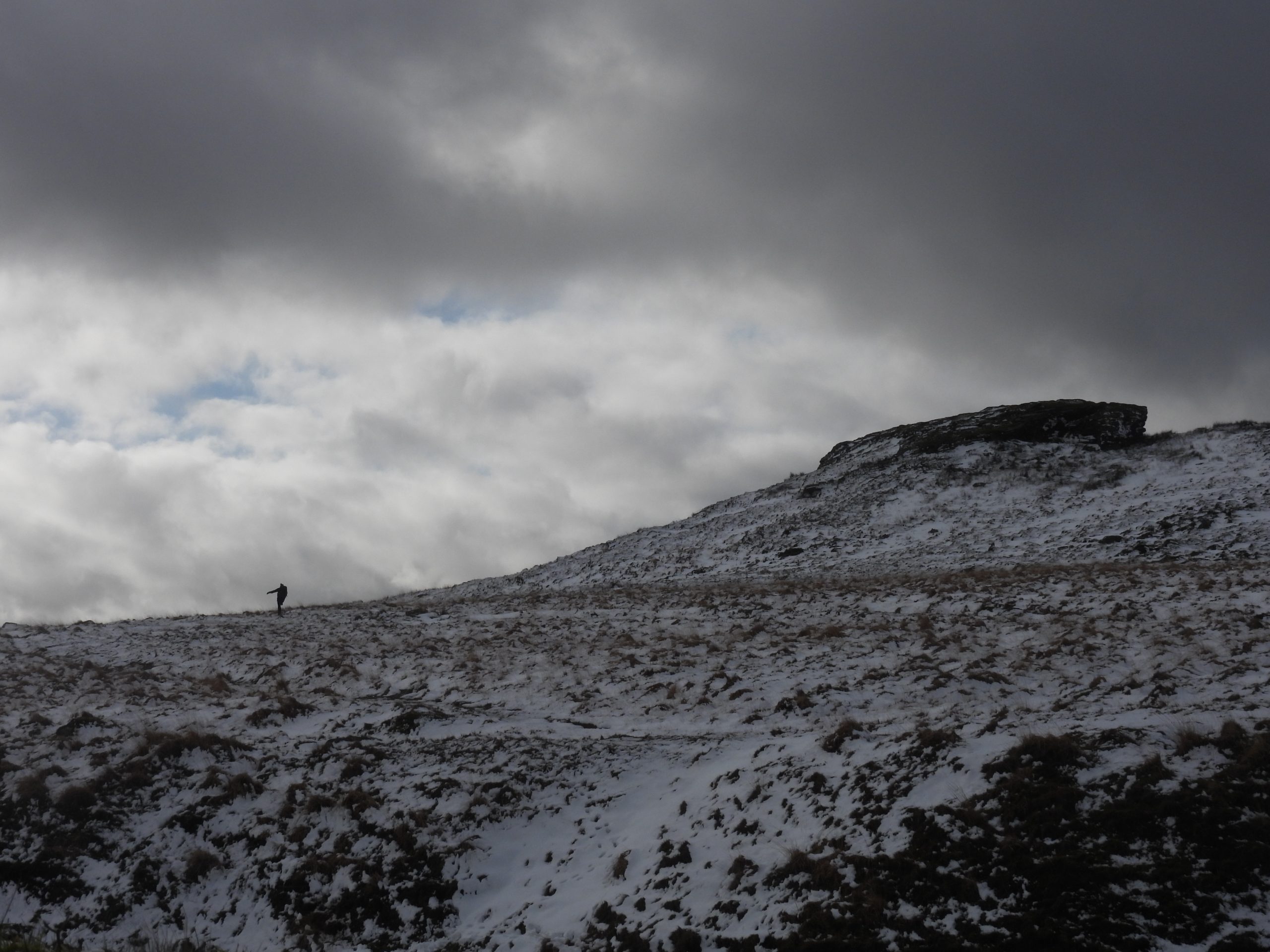
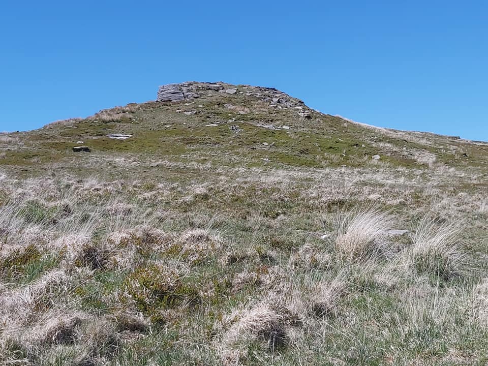
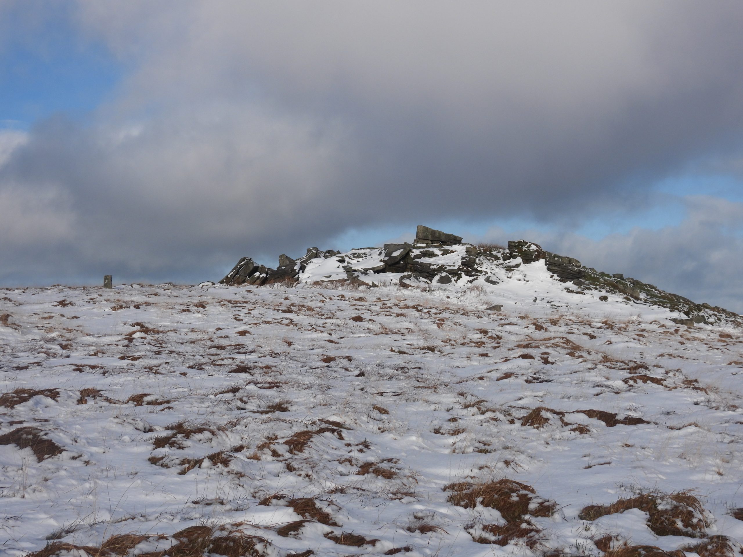
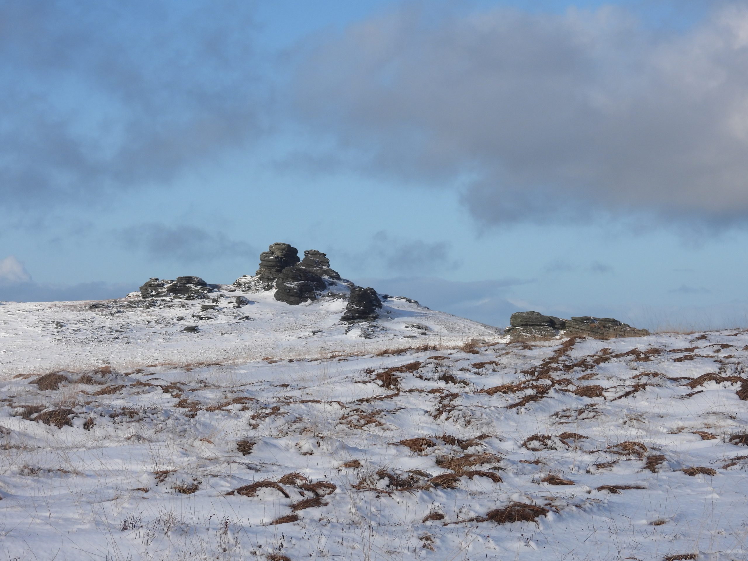
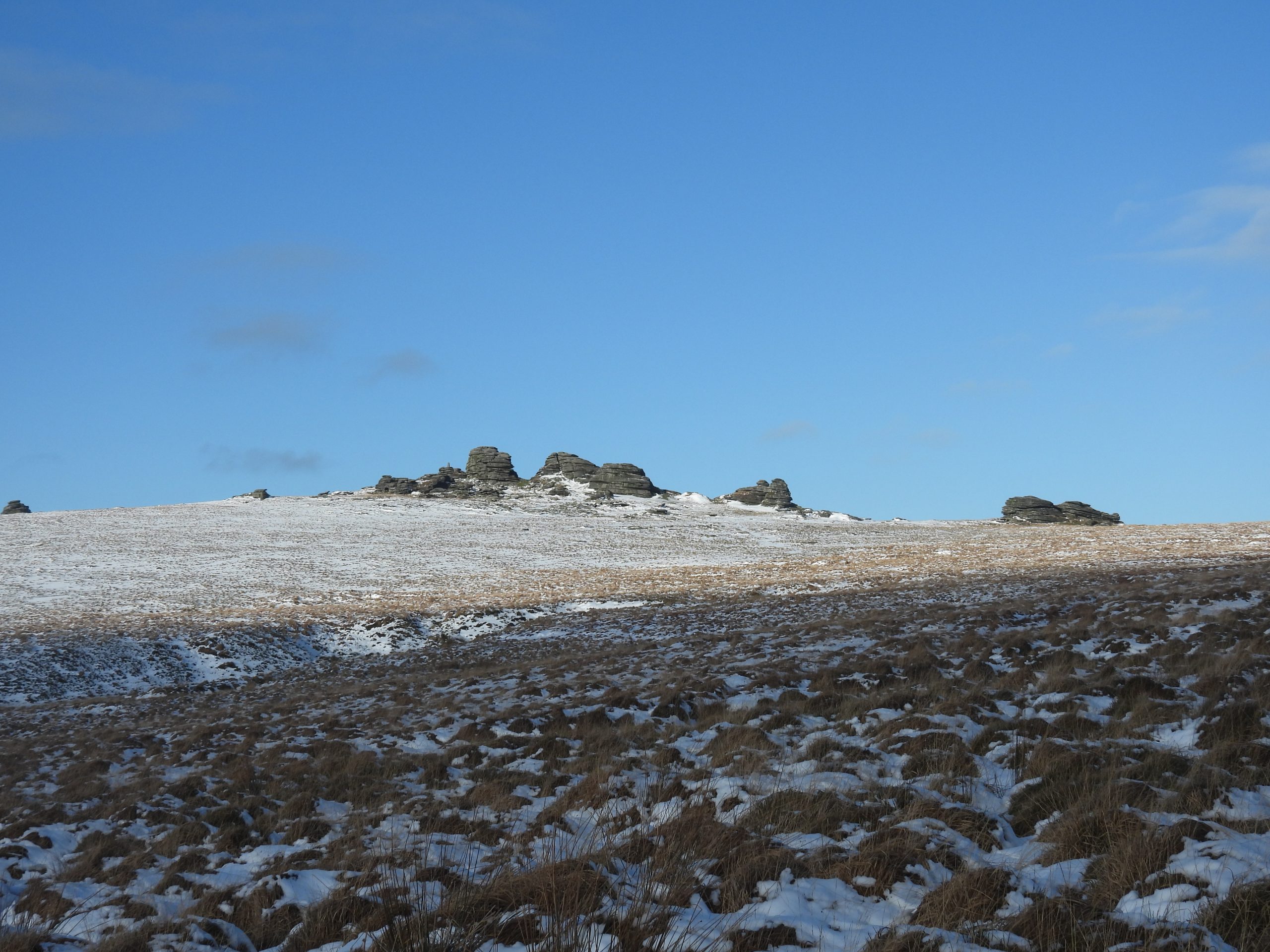
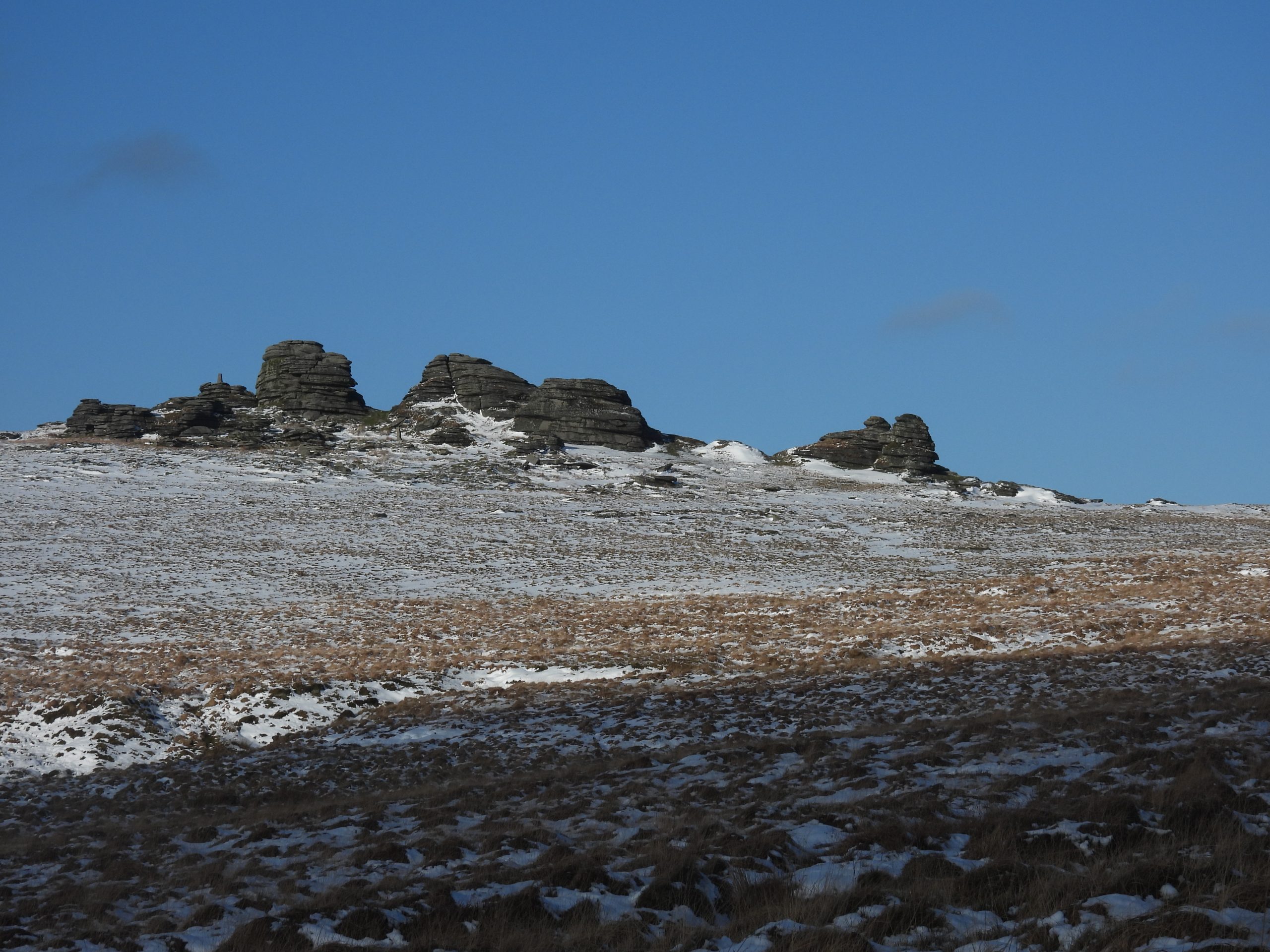
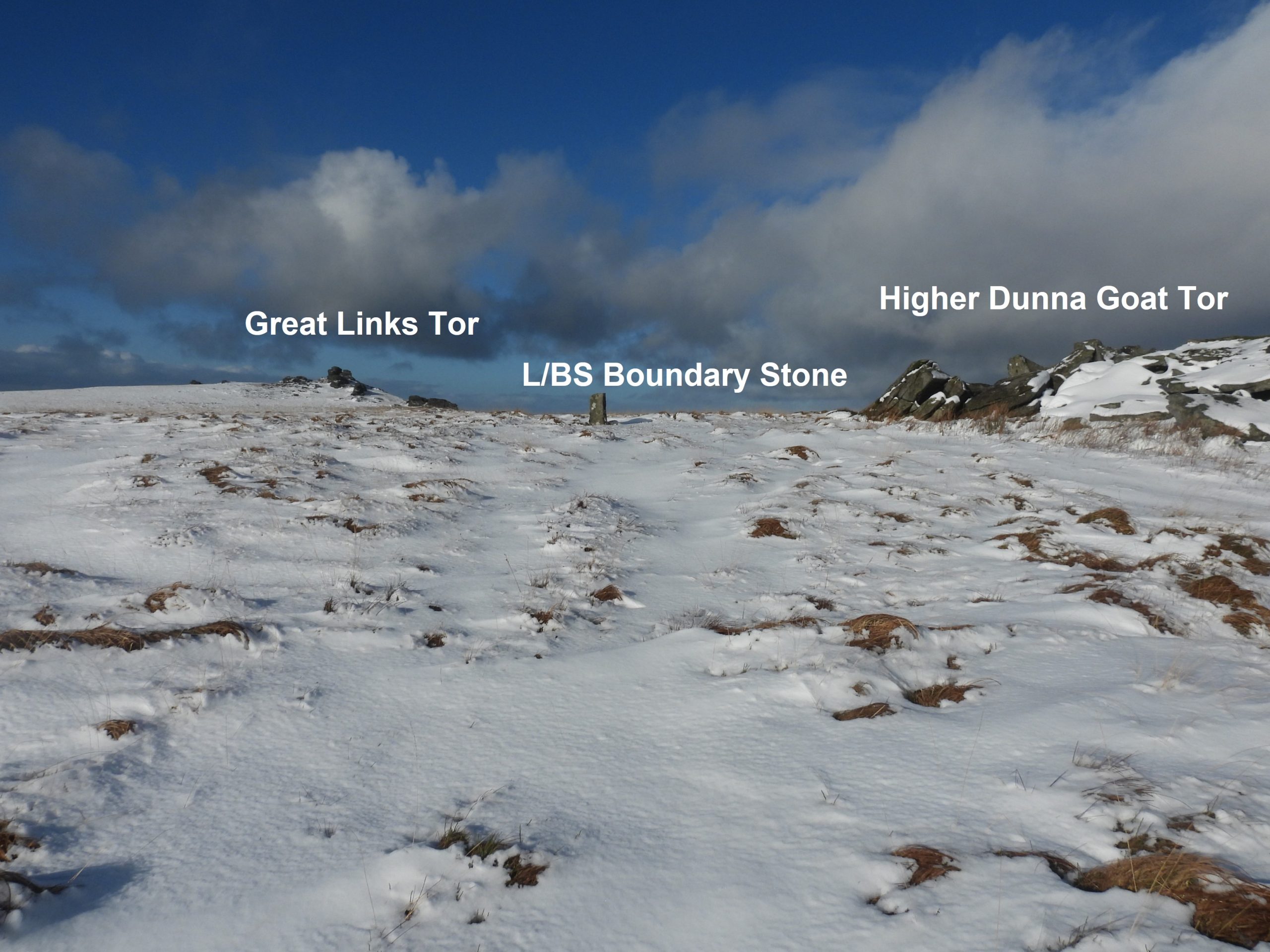
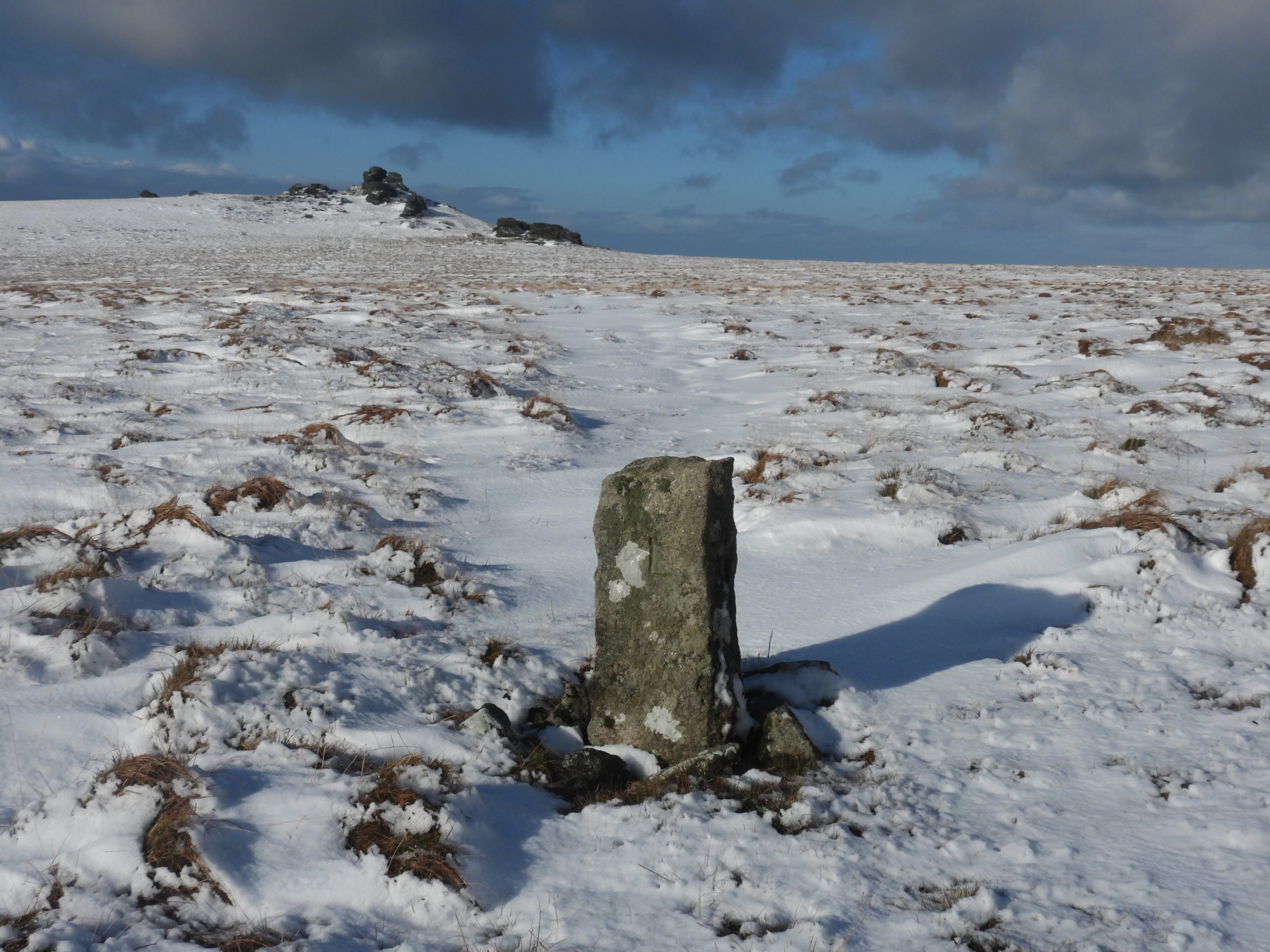
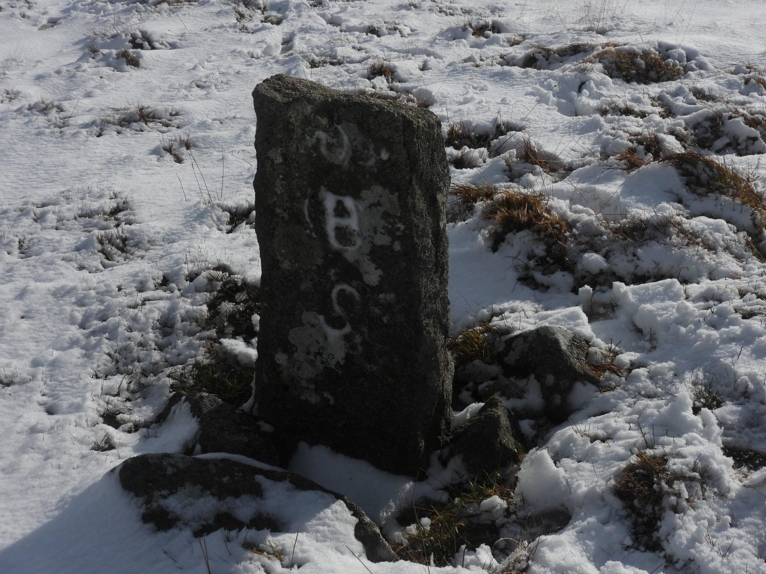
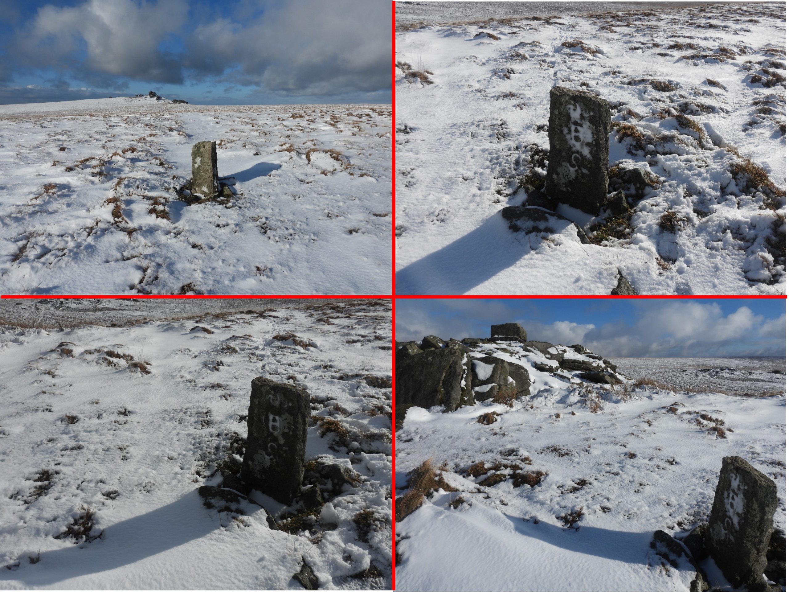
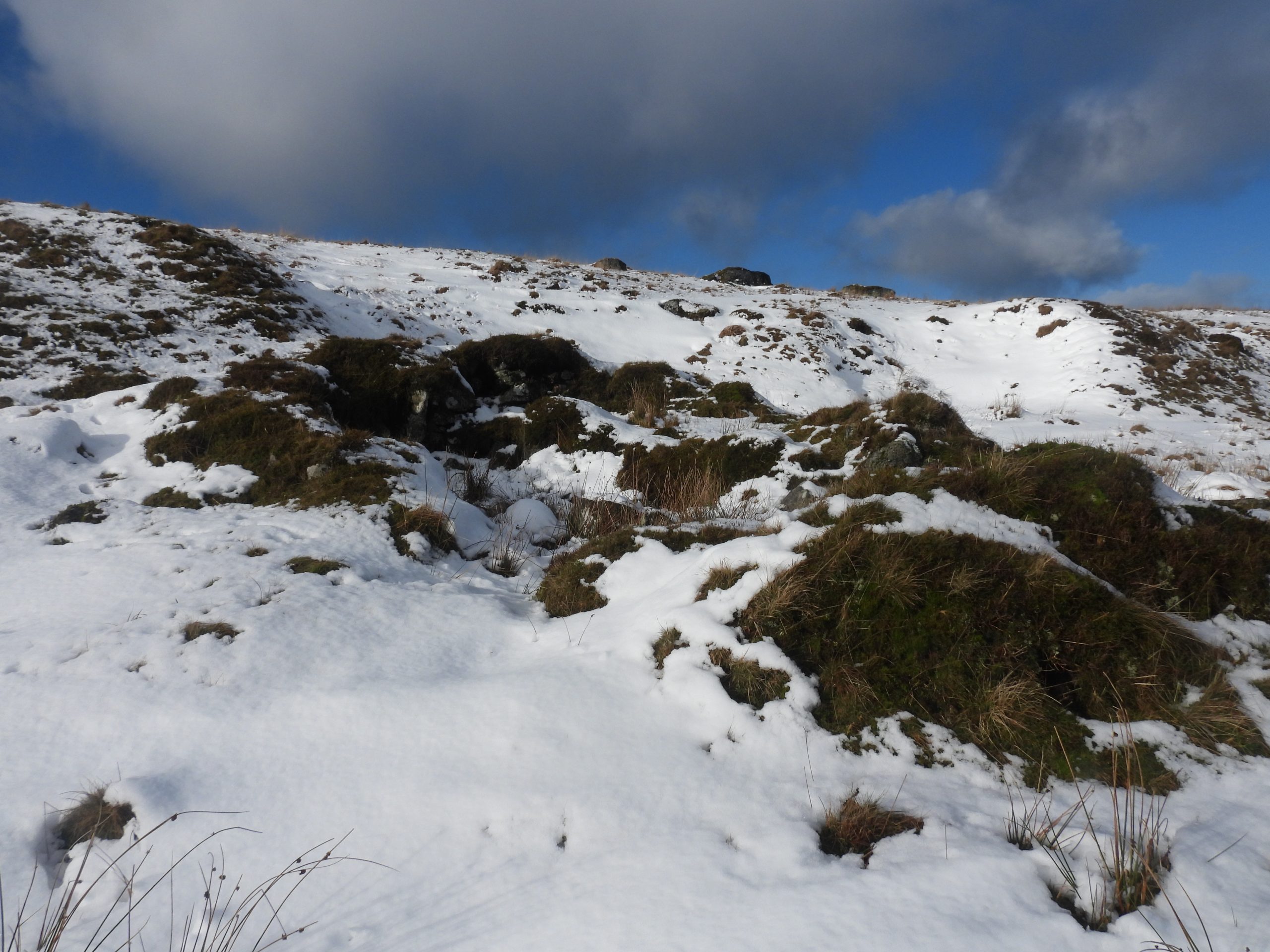
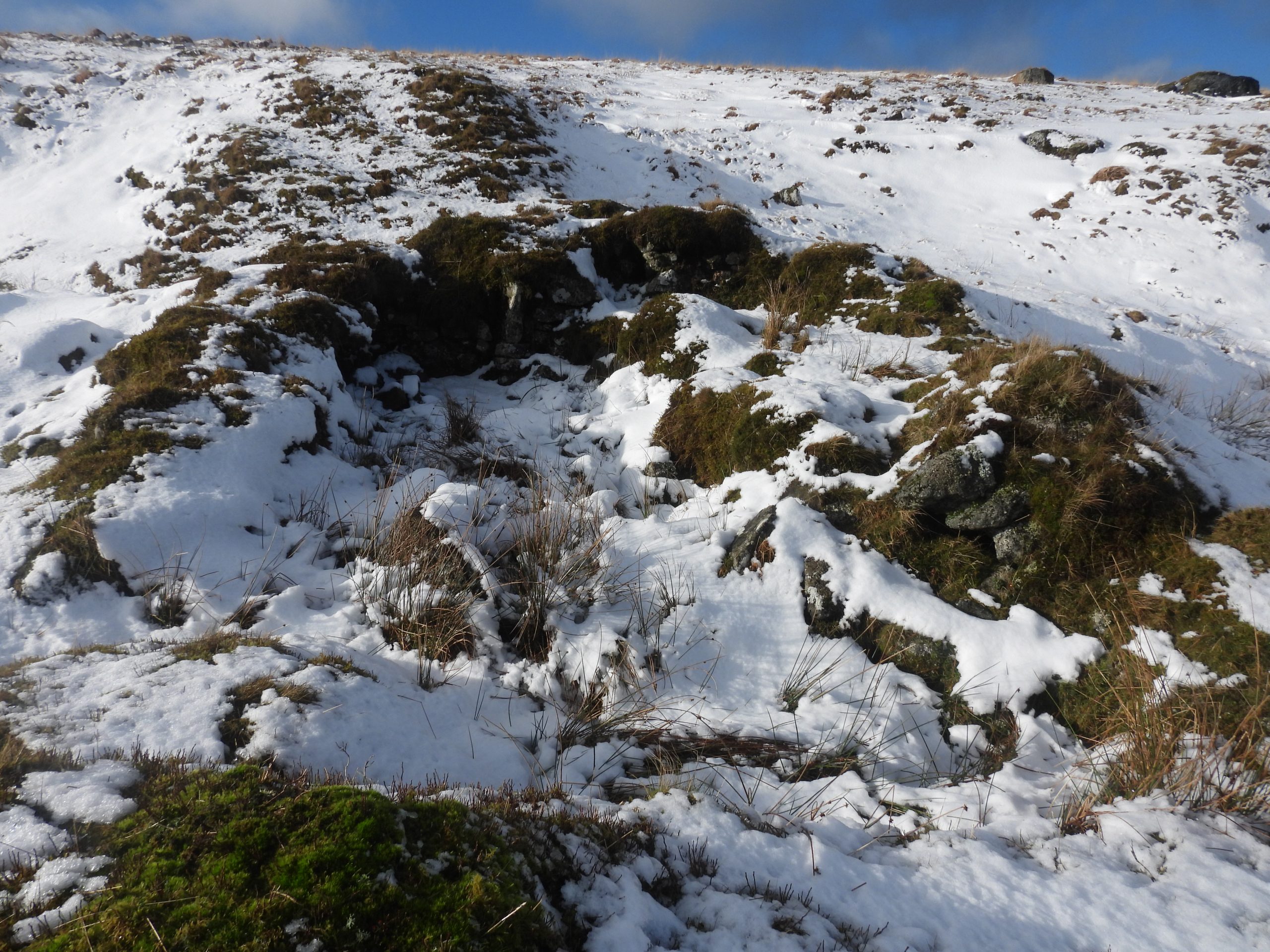
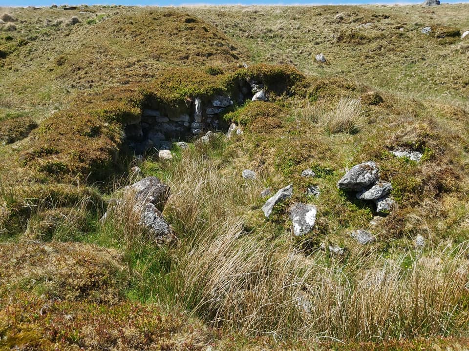
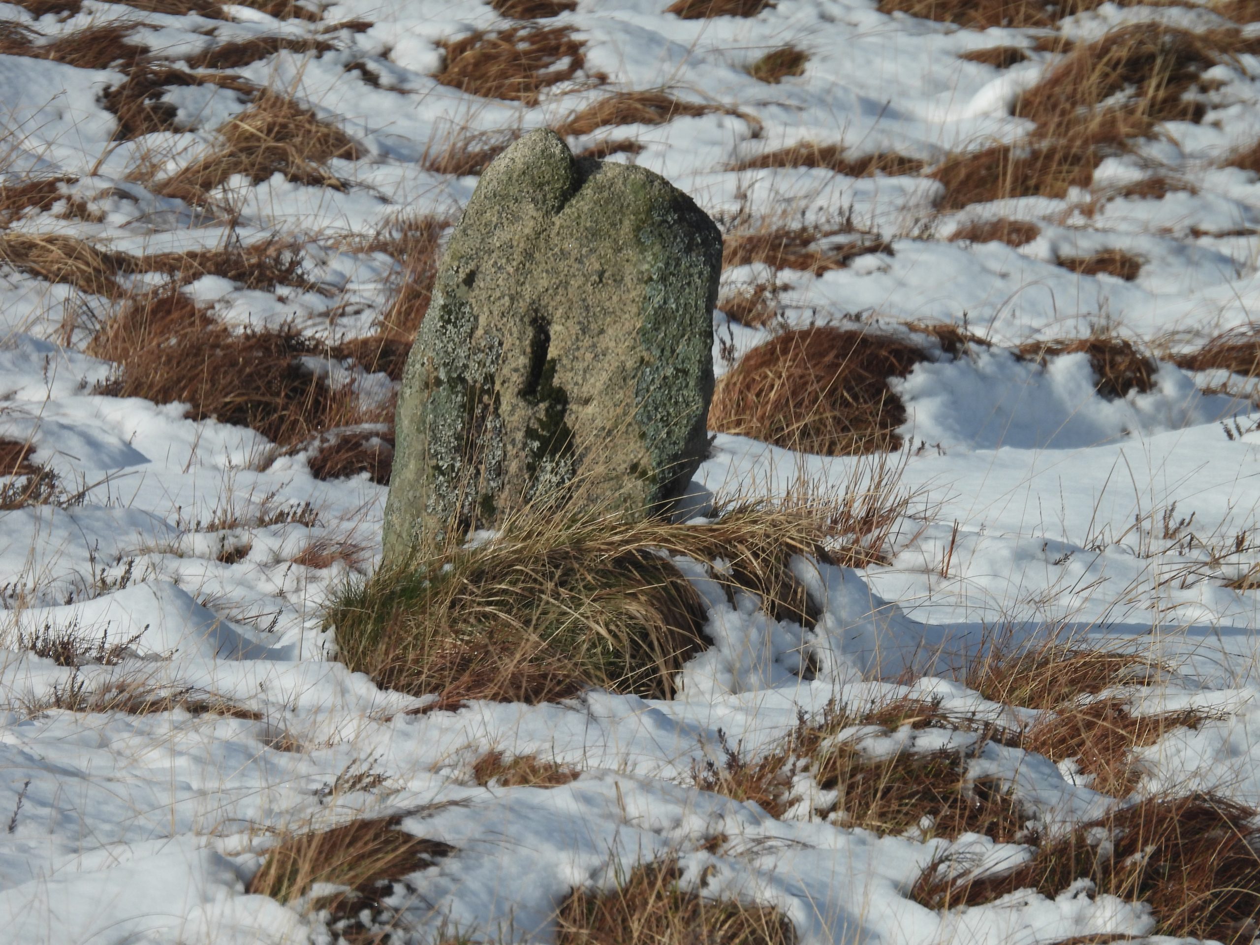
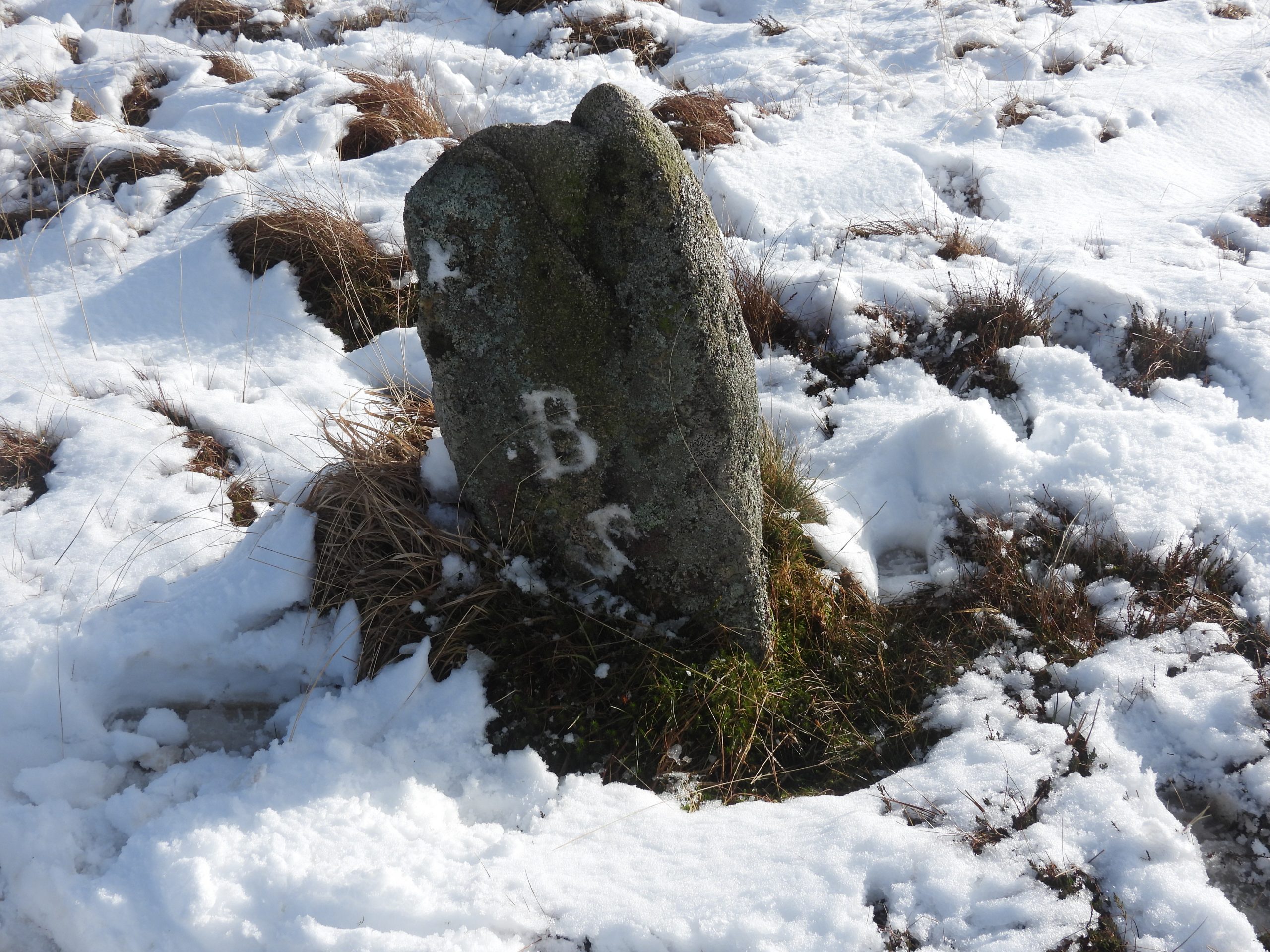
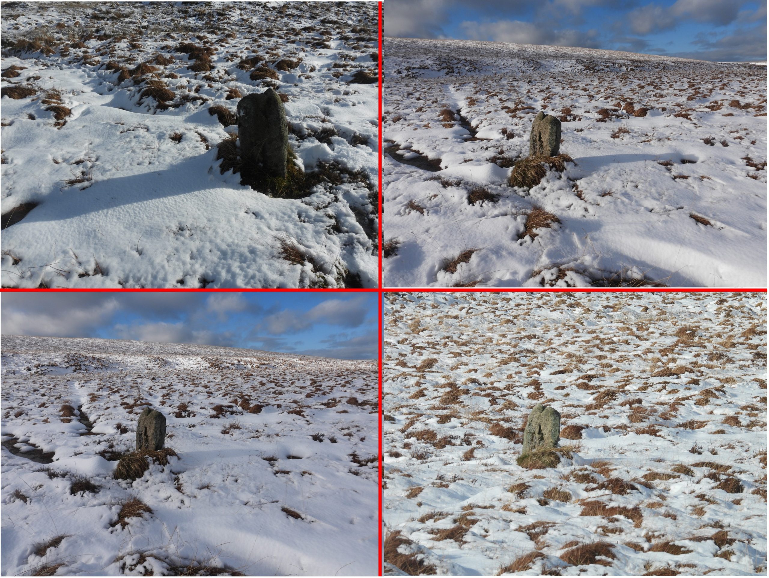
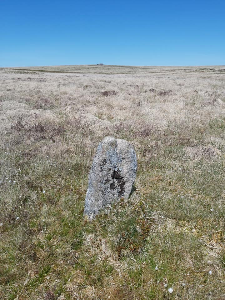
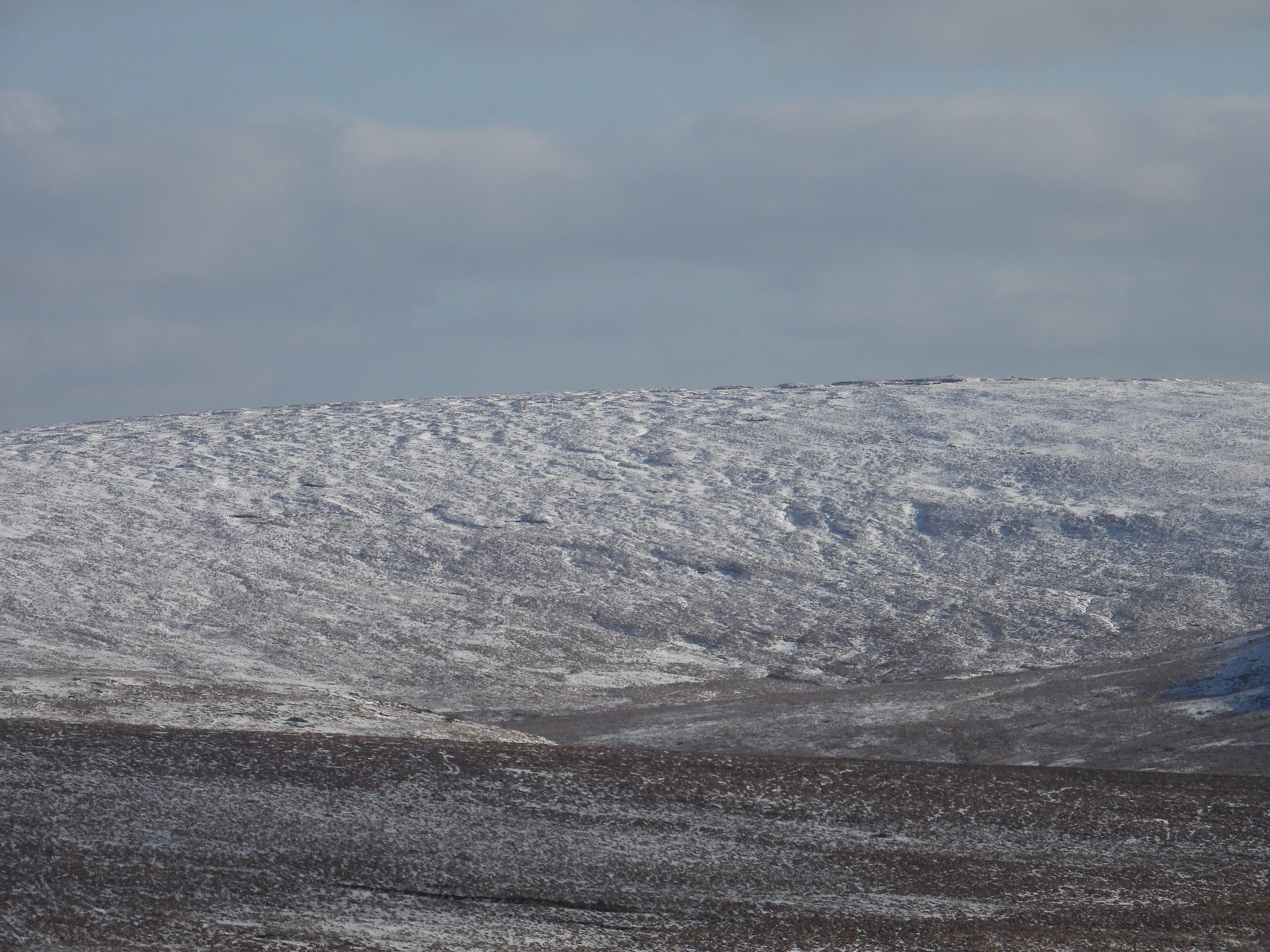
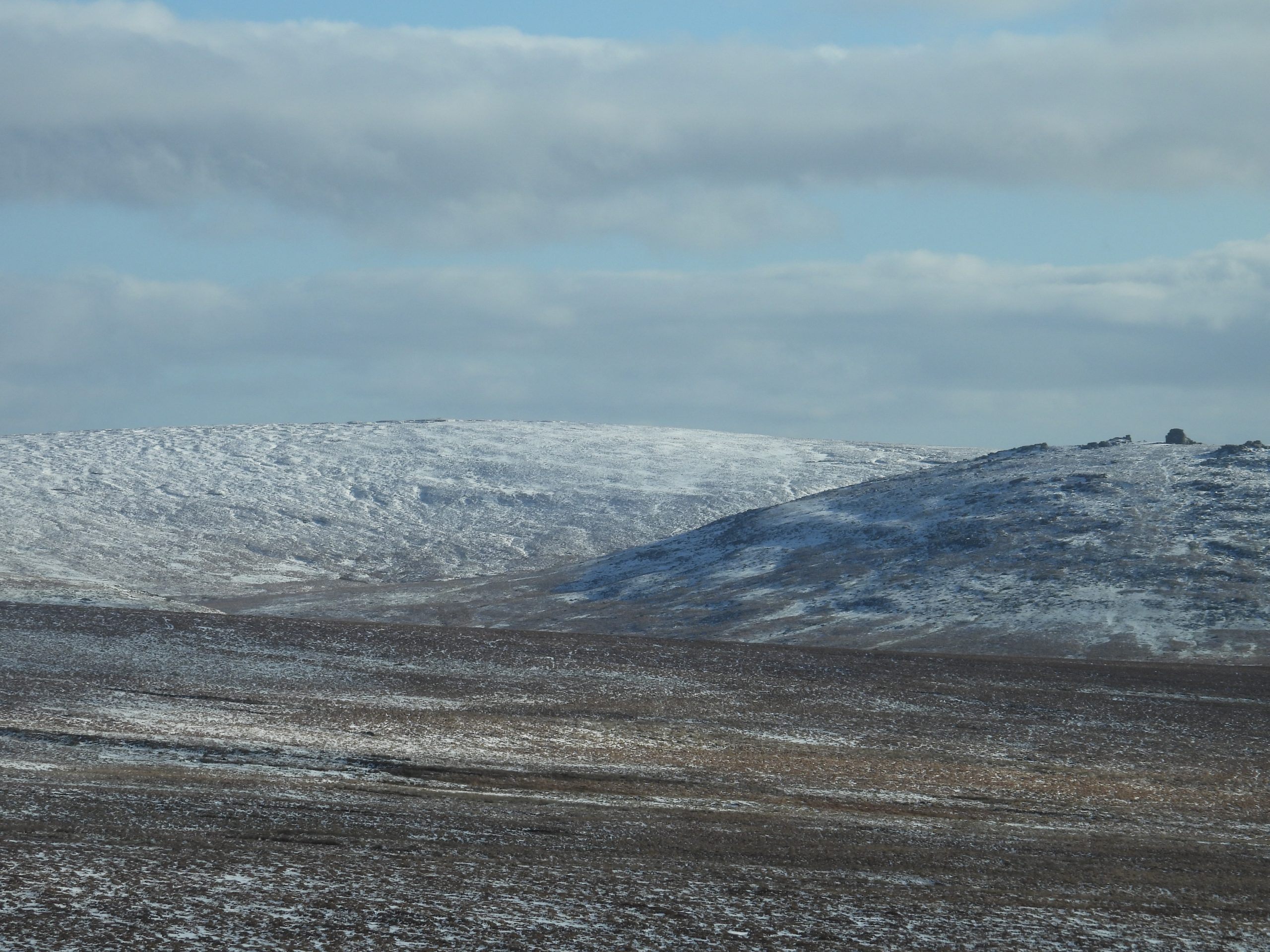
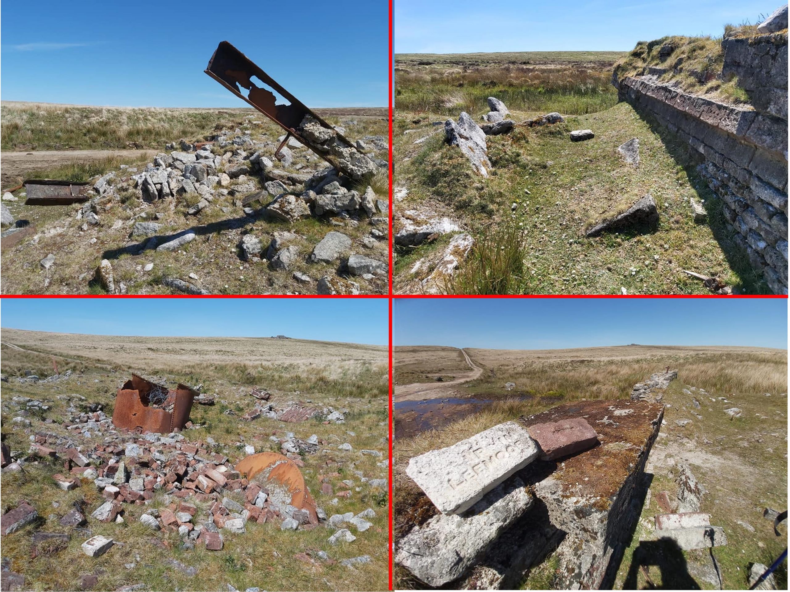
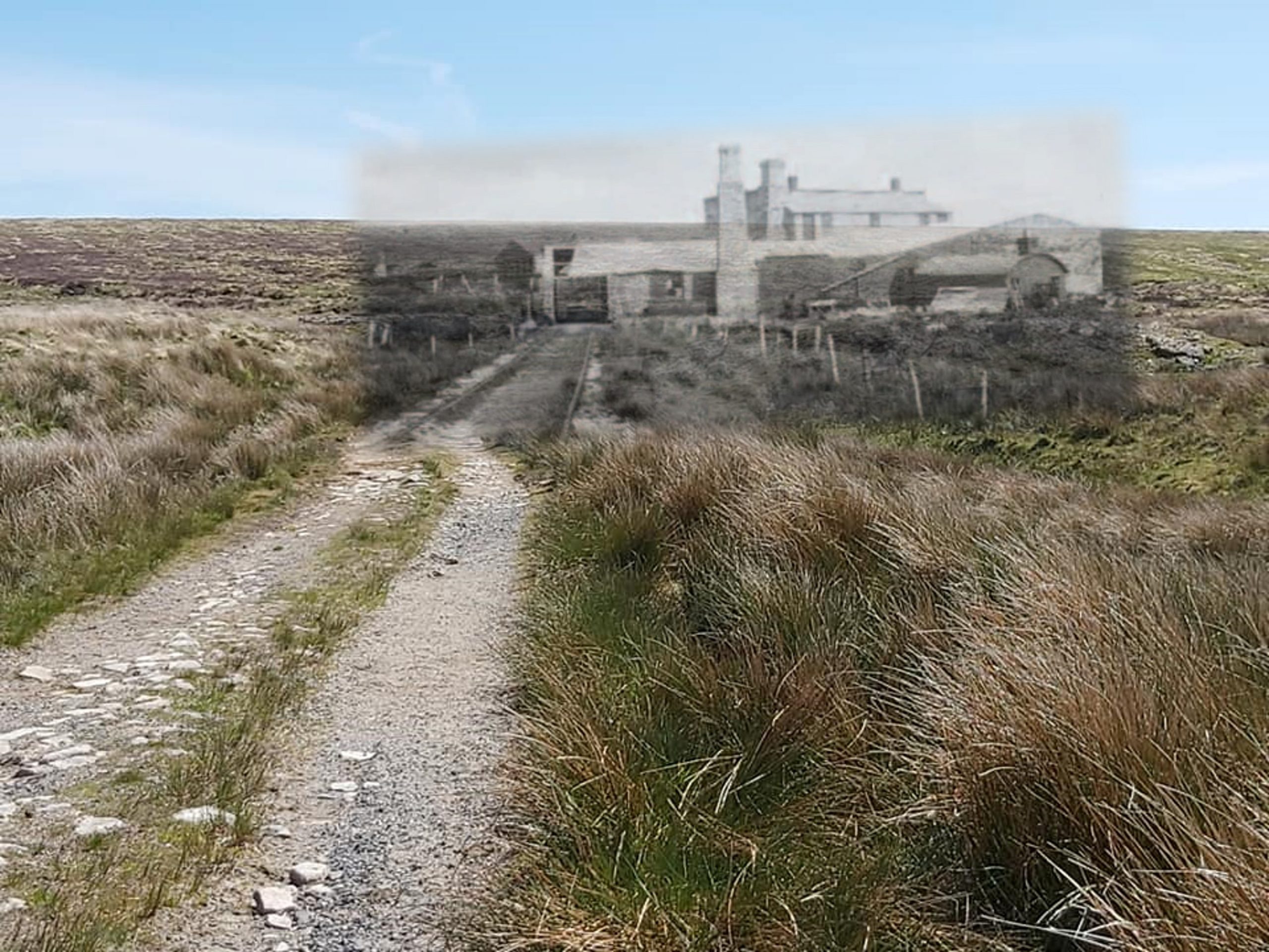
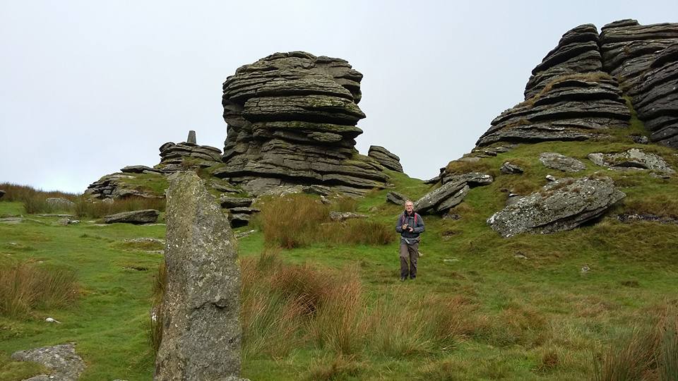
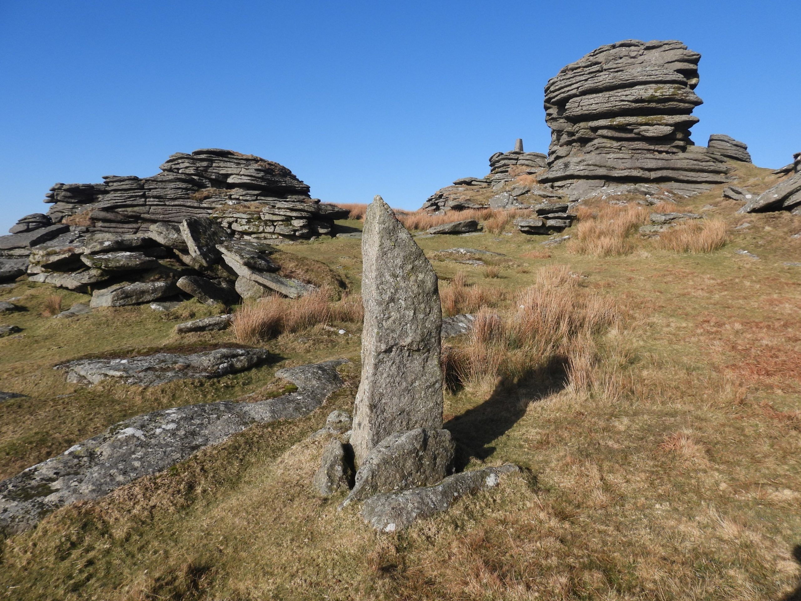
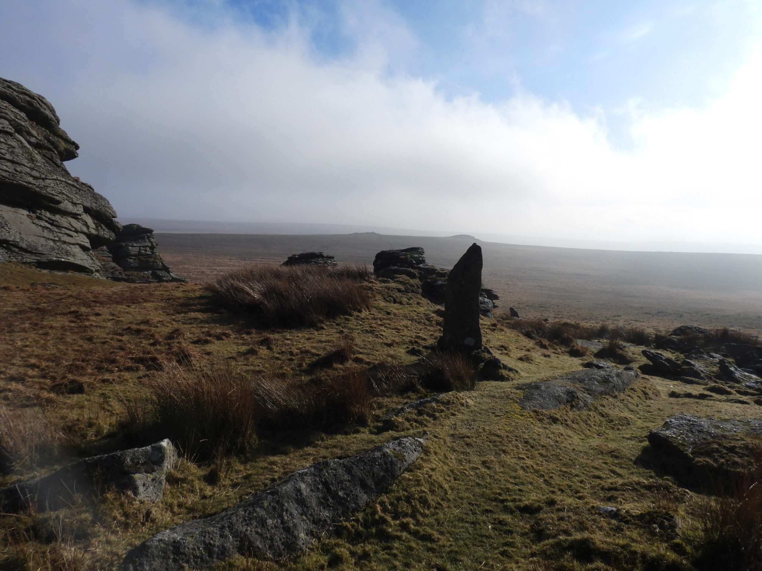
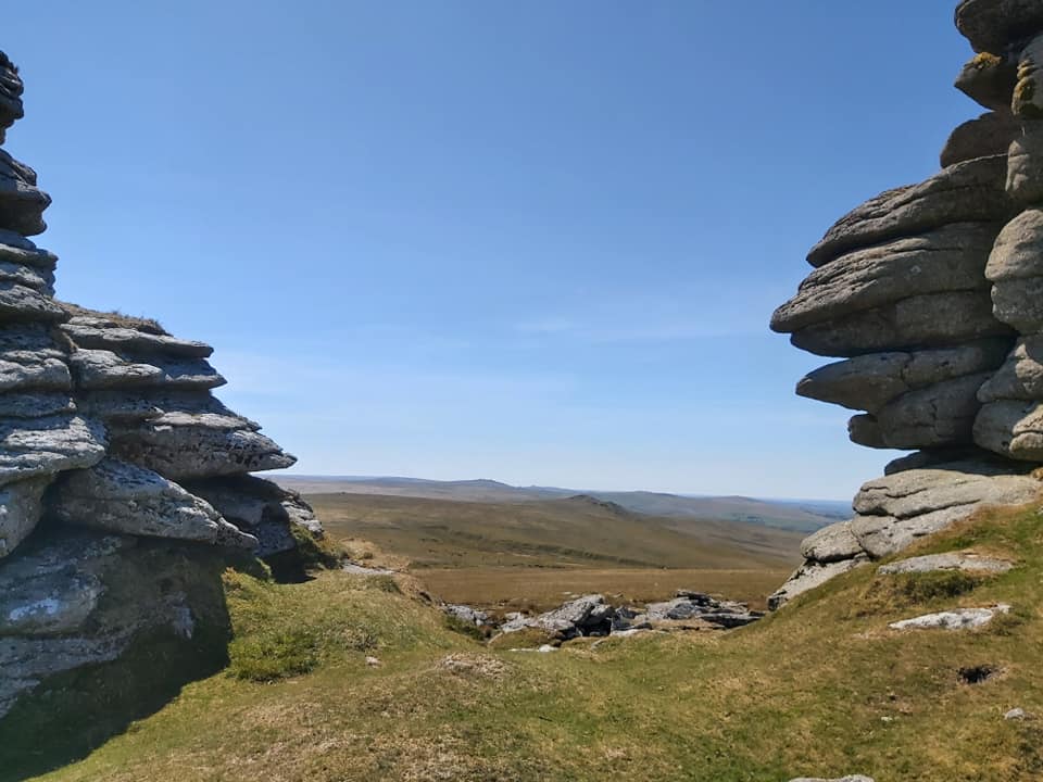
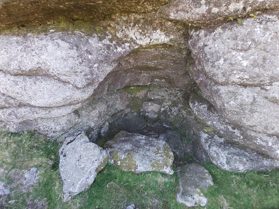
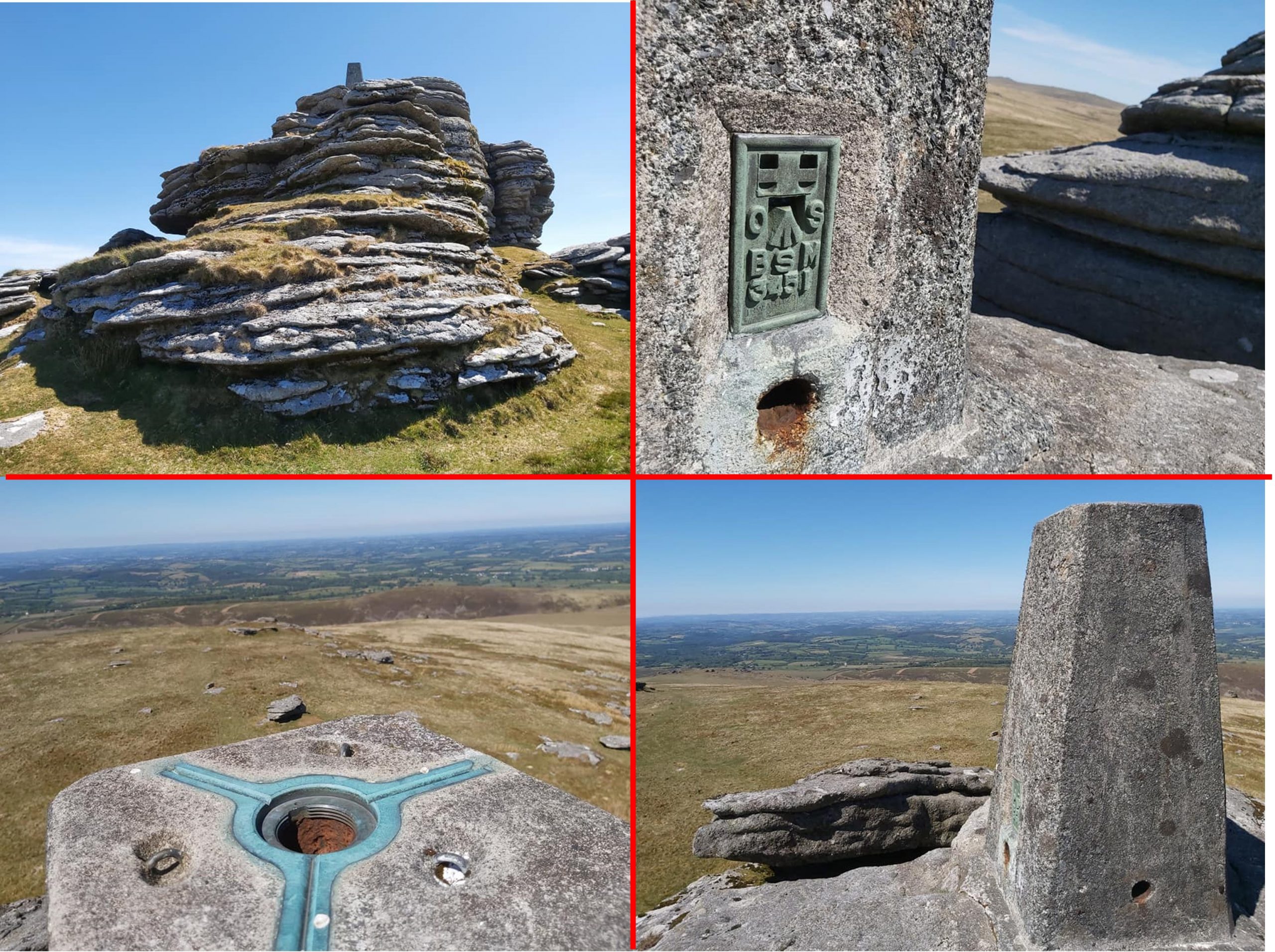
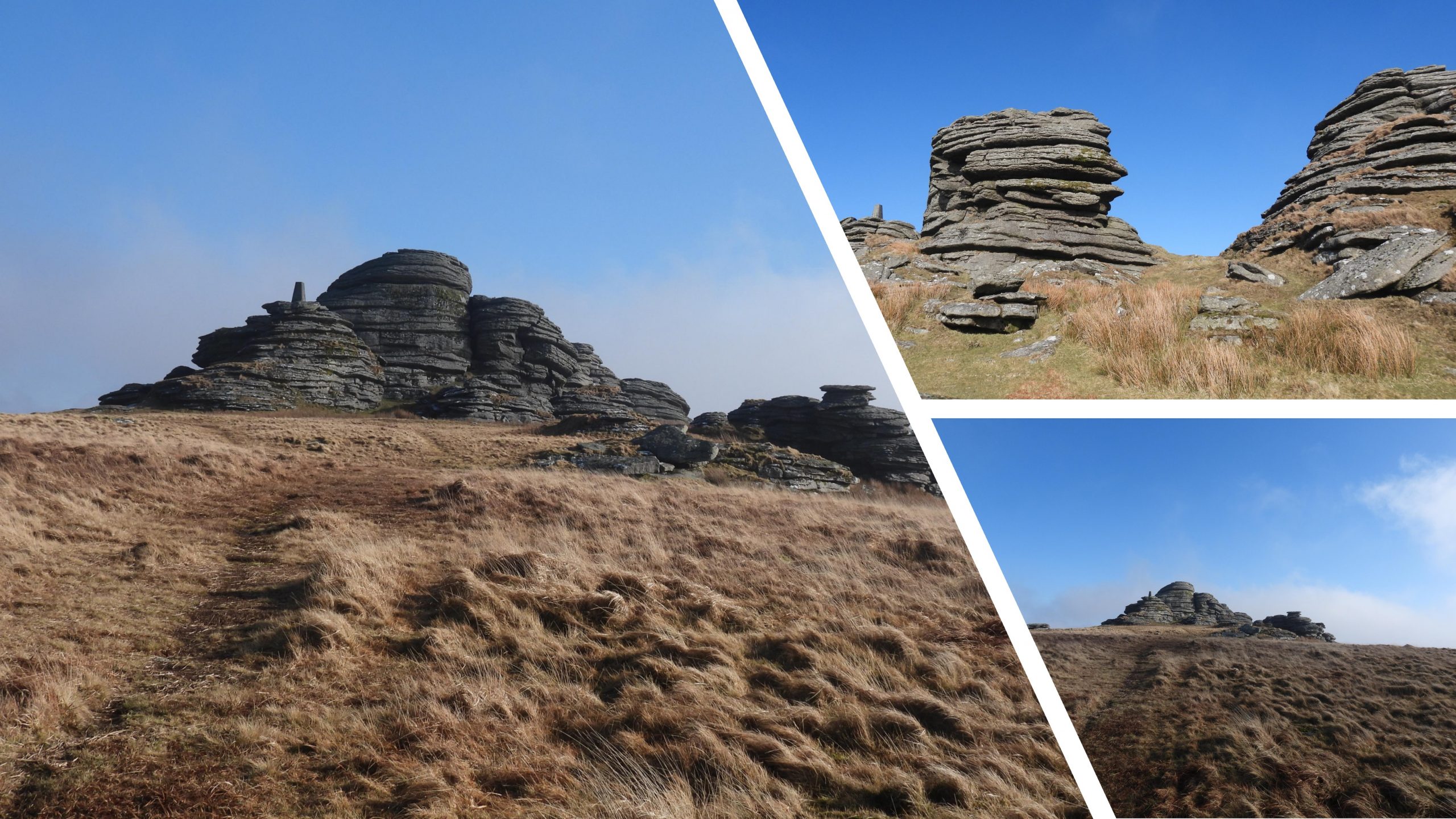
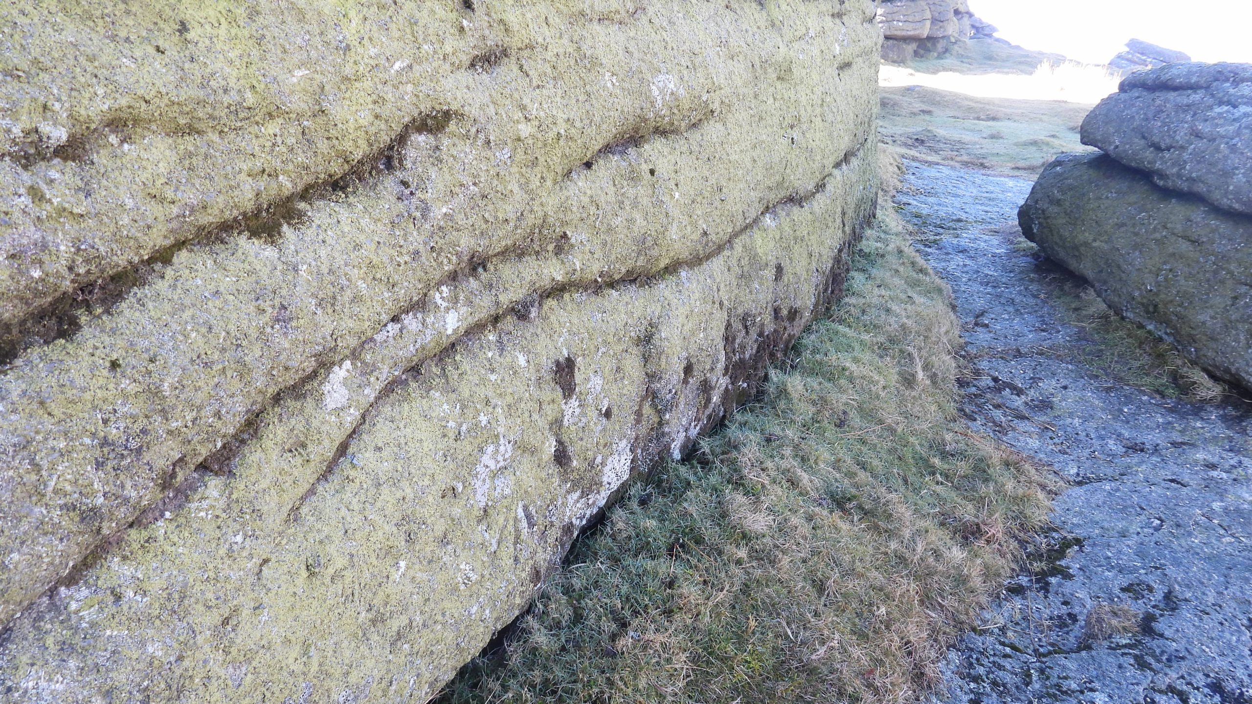
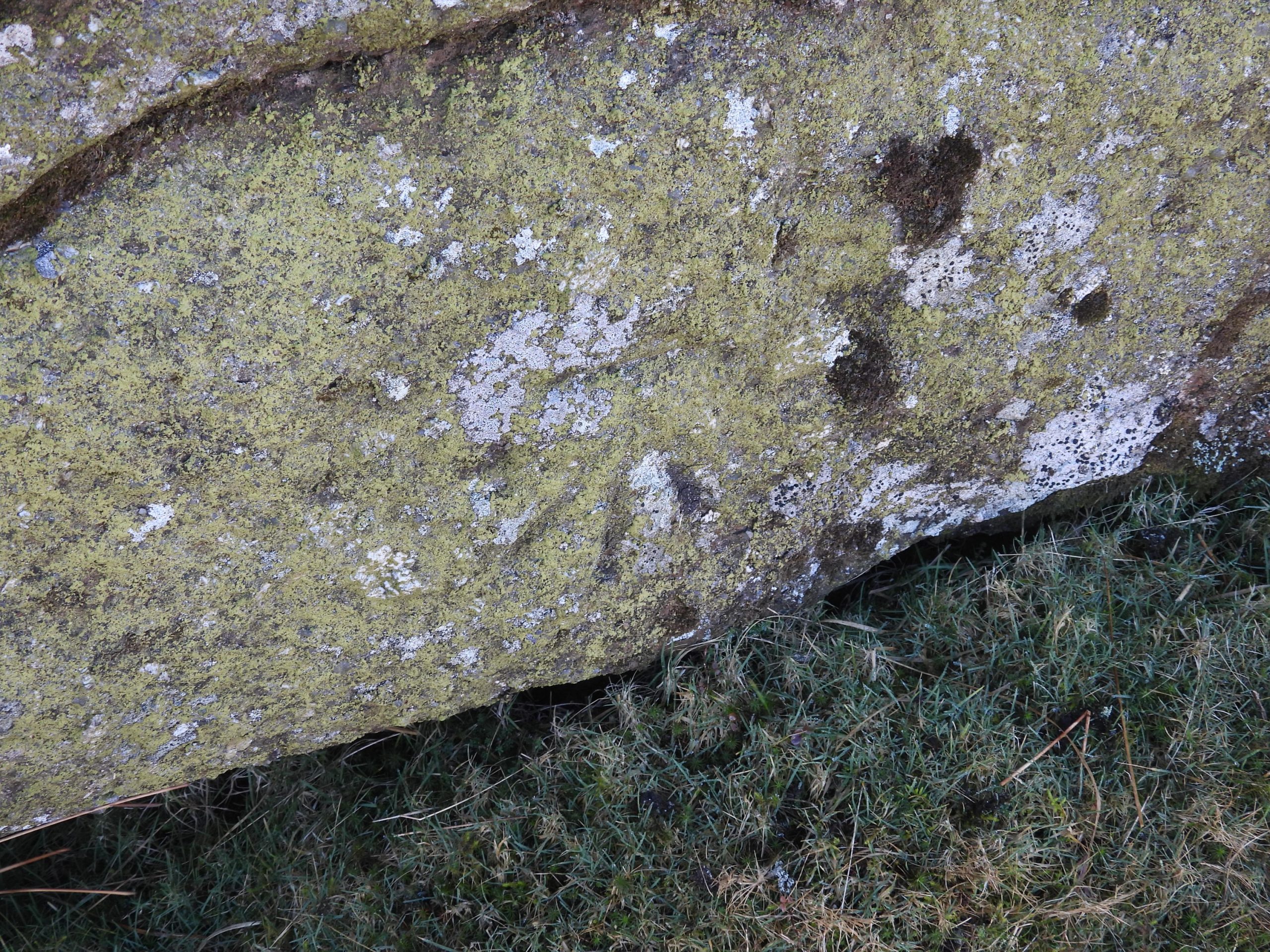
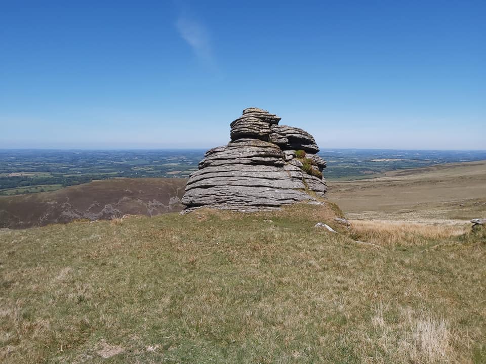
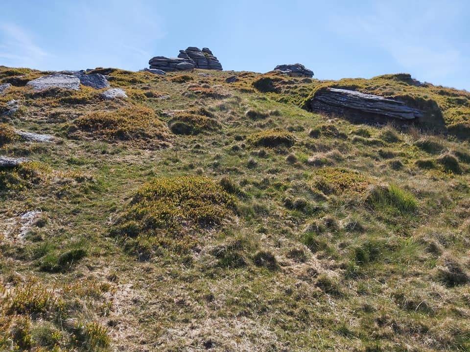
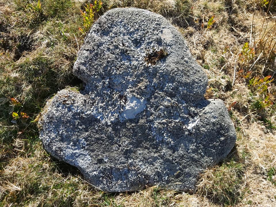
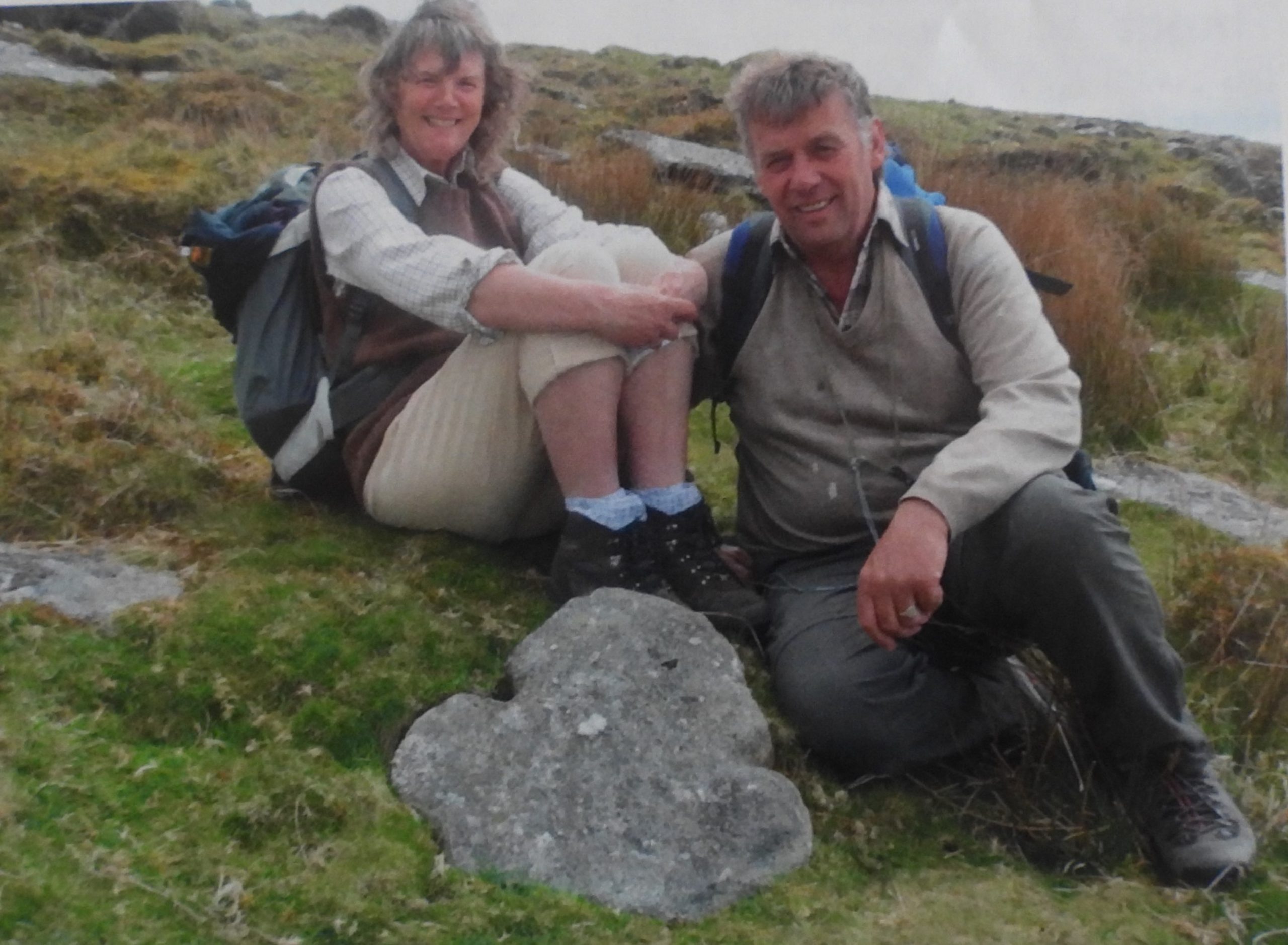
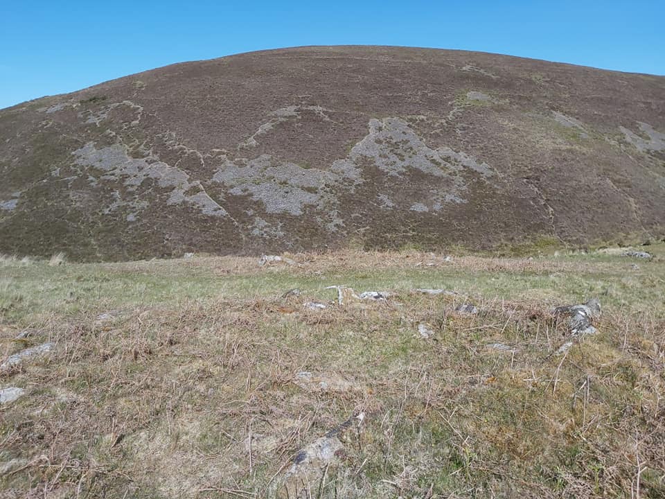
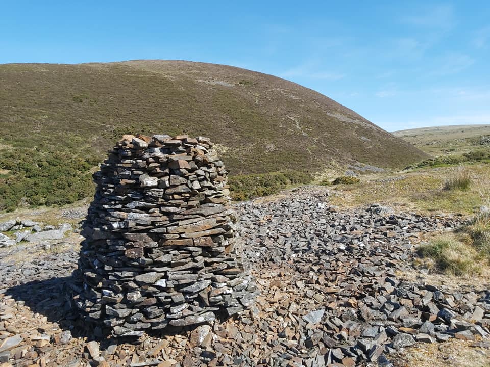
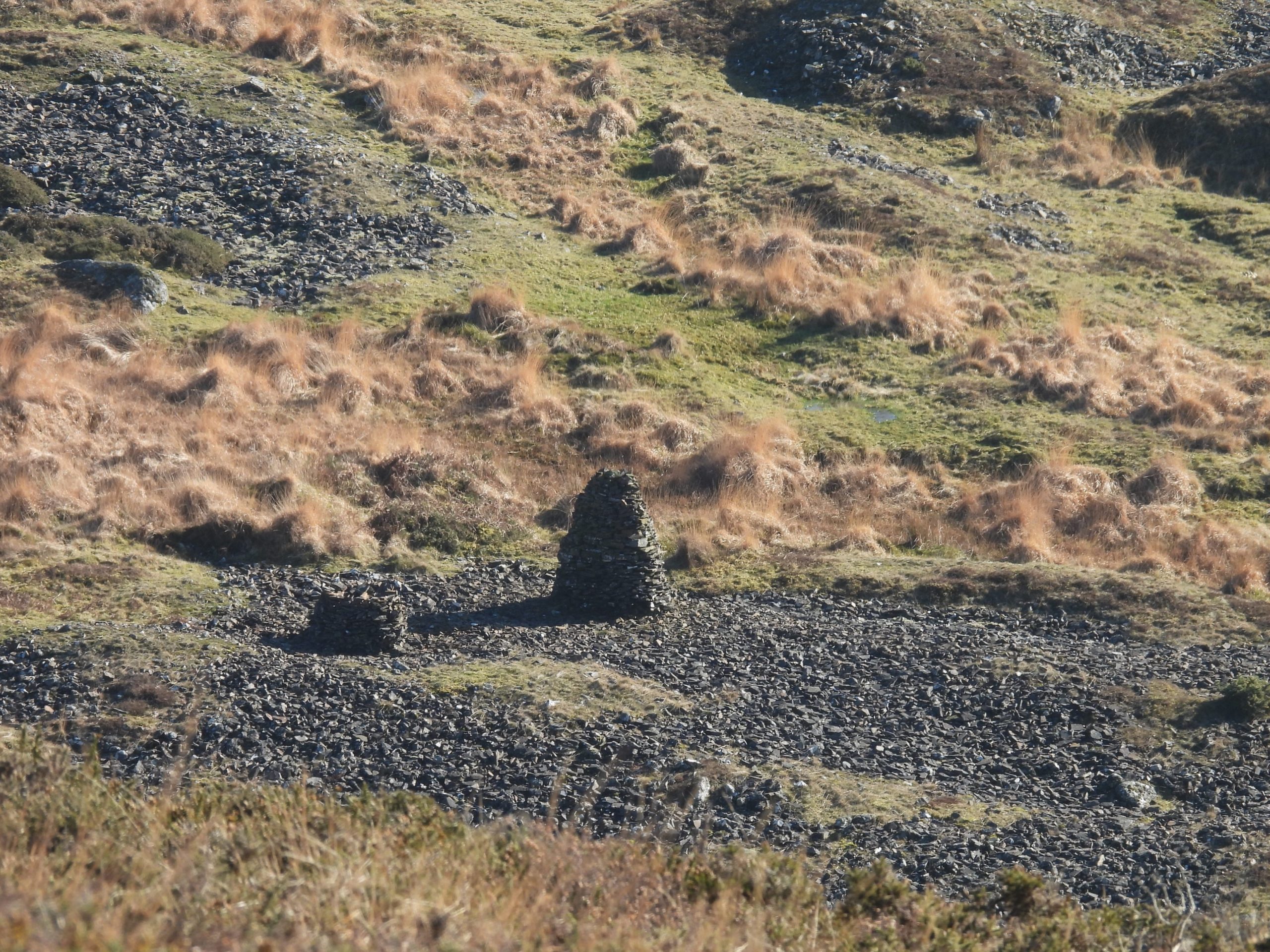
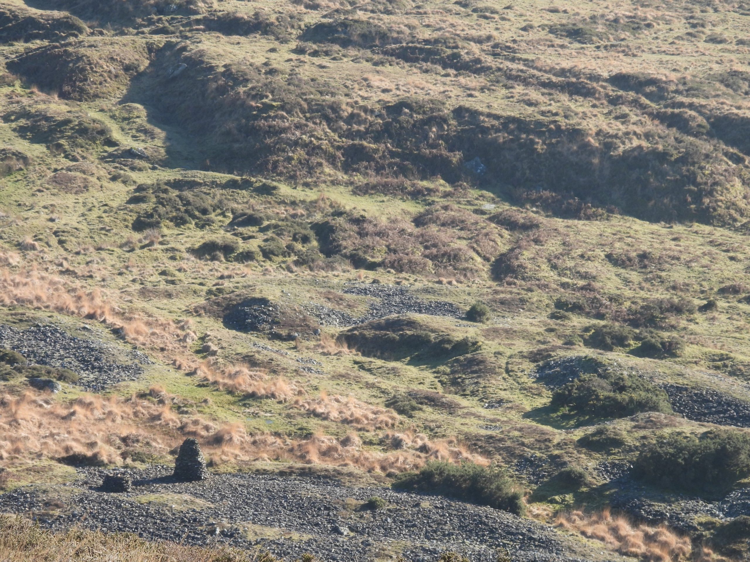
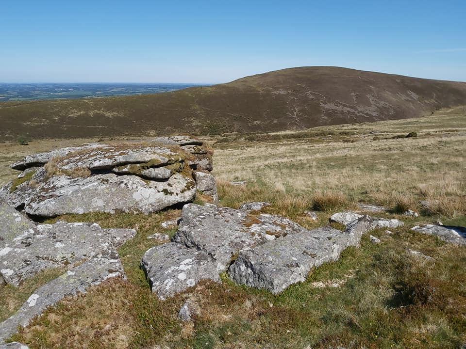
This sketch map shows the features covered in this post. The boundary between Bridestowe – Sourton Common and Lydford Parish is shown as the red dash – dot line.Across Vale Down the boundary takes an unusual right angled detour. The history behind this probably relates to the field boundary now defined by some low bushes and gorse.Next to the hedgeline on Vale Down is a pair of Boundary Stones. The older of the two is unmarked but the modern one is inscribed B (Bridestowe) and L (Lydford). The Vale Down Boundary Stones are located at SX52645 86169Nodden Gate can be approached from the Fox and Hounds public house on the A386 Tavistock to Okehampton road. Next to the gate is the next boundary stones on the Sourton – Bridestowe / Lydford Parish boundary. Marked B.S (1) on the sketch map.This boundary stone lay fallen for many years. At the Lydford Parish beating of the bounds of the ‘newly’ formed Lydford Parish in 1988 it was decided to re-erect the stone, which was duly done in the August. The southern side of the stone (as shown in the photograph) bears an inscribed “L” (Lydford).The Nodden Gate B.S is located at SX52994 86315The north side of the B.S is inscribed with a “B” above an “S” for Bridestowe and Sourton.Arms Tor with Great Links Tor just peeking from behind the hillside. The Bridestowe – Sourton / Lydford boundary lies on the eastern edge of Arms Tor, which is marked on modern OS mapsFollowing the boundary and crossing the River Lyd on a fresh icy January morning.Ford on the River Lyd. The author conjectures if this is Nodden Ford (or Nodden Steps) as named by Mike Brown in the Gazetteer of Dartmoor names, albeit the grid reference is out by around 100m from the record.Looking north up the River Lyd to the dome of Great Nodden covered in a light dusting of snow.Great Nodden is known as Pudding Hill to some, due to its shape. The author is unaware where this alternative name originates.Marked B.S (2) on the sketch map, this boundary stone is a short distance uphill from the river. This B.S is uninscribed and is marked on modern O.S maps.B.S (2) is located at SX53310 86259This upright is located between B.S (2) and B.S (3) but seems to be unrecorded on any O.S Map as a boundary stone. It might be possible this upright is associated with the nearby hut circles.A clue to the upright stone origin may lie with the granite slabs which can be seen lying across the footpath. The mystery upright is located at SX53377 86241Twin uprights- most probably the entrance to a hut circle en-route to Arms Tor.Footpath up to Arms Tor follows (more or less) the boundary line of the Bridestowe – Sourton / Parish boundary. The thin dusting of snow (January 2023) adding to the beauty of the landscape. The next boundary stone, B.S (3) is just visible towards the top right of the photograph.Boundary stone, B.S (3) is not inscribed.Boundary stone, B.S (3) is located at SX53572 86255Approximate line of the Lydford – Sourton / Bridestowe Commons Boundary just to the south of Arms Tor. On the edge of the lower south east section of the tor is a modern boundary stone inscribed “L” for Lydford and “MM” for the millennium (year 2000).Contextual picture of the modern boundary stone inscribed “L” for Lydford and “MM” for the millennium (year 2000).The boundary stone is approx 1m tall and is only inscribed on its south sideThe boundary stone is located at SX53783 86252The “L MM” boundary stone can easily be missed if coming uphill from Nodden Gate towards Arms Tor. The hiker is ‘channelled” via a well trodden footpath which takes the hiker 20m to the north of the boundary, thus hiding the boundary stone from view behind a small outcrop.Climbing up through the clitter on Arms Tor with Great Nodden in the backgroundLooking south from Arms Tor toward Brat (Brai) Tor with Widgery Cross.Another view of Brat (Brai) Tor from the summit of Arms TorArms Tor is located at 1,411 feet (476 m) above sea level.Sharp Tor (left) and Hare Tor / Little Hare Tor (right) from old track (which the author has always known as “Friends Track”)Medieval or later tin streamworks below the old horse pack track comprising an impressive group of beamworks and small opencuts. Hare Tor and Sharp Tor in the background.Looking north up from Arms Tor towards Sourton Tors in the distance.Footprints‘John’s Cairn’ is a local name given to this pile of stones at the crossroads of paths from Arms Tor / Brat Tor, Great Links Tor and the old peat track which leads towards the Rattlebrook.The origin of the name ‘John’s Cairn’ is not known to the author. The only reference the author can find is from a facebook post by Dianne Jayne Giles (26/12/22).The old horse pack track leading east from John’s Cairn is (more or less) on the line of the Bridestowe – Sourton / Lydford parish boundary. The impressive group of beamworks and maze of small opencuts (as described by Newman / Probert circa 2004), looing very atmospheric in the foggy and snowing conditions.Boundary stone, B.S (4) lies near Dick’s Well, where the tinners’ workings cross the track. It is inscribed with “L” (Lydford) on its southern sideOn the reverse (north side) as emphasised by the snow in the photograph, the boundary stone is inscribed “B” (Bridestowe) with “S” underneath.Newman and Probert in a report dated 2004, record the boundary stone as being as “1.1m high roughly dressed granite slab, 0.4m wide and 0.2m thick”.Boundary Stone, B.S (4) photograph taken a few hours later in the sun.B.S (4) boundary stone is located at SX55148 86112B.S (4) on a dry and hot summers day.Tinners’ reservoir near Dick’s WellGreat Links Tor looking resplendent in its snowy blanket. View from track leading to Lower Dunna Goat Tor.Looking west from near Dick’s Well over the tinners’ workings towards Brat / Brai Tor.Lower Dunna Goat Tor at 1,820 ft (561m). The Bridestowe – Sourton / Lydford parish boundary runs to the north and passes through its sister (Higher Dunna Goat Tor).Green Tor in the foreground, with the peat workings from the Rattlebrook works being emphasised by the dusting of snow in the distanceTinners’ streamworks leading down to the Rattlebrook.Looking down the Rattlebrook Valley from near Lower Dunna Goat Tor.Zoomed in view of Fur TorDunnagoat Cottage more commonly referred to as Bleak House. The snowy conditions (January 2023), certainly making the nom-de-plume ‘Bleak House’ very relevant.Described by Eric Hemery in ‘High Dartmoor’ : “This building was the house built in about 1879 for the manager of the Rattlebrook peatworks and was originally known as “Dunnagoat Cottage”.Bleak House in summer. The Royal Commission for the Historical Monuments of England (RCHME) record the ruin thus: “The walls, of mortared, dressed granite blocks are 0.5m wide and stand to a maximum height of 5m in the north-eastern corner. The main room measures 6.6m north-south and 3.6m east-west. The chimney in this room has collapsed. A doorway leads from this room to two further rooms. The building probably originally had two storeys, although there is no evidence of any joists”.The collapsed chimney at the Bleak House ruins.West side of Lower Dunna Goat TorLower Dunna Goat Tor on east side from the Rattlebrook, just down from Bleak House.Lower Dunna Goat Tor in summer from the Rattlebrook.Higher Dunna Goat Tor with B.S (5) on its south west side.Great Links Tor from Higher Dunna Goat TorAnother view of Great Links TorThe trig pillar on Great Links Tor can just be made out in this photographB.S on the border between Bridestowe – Sourton / Parish “L” (Lydford) on the southern face. Dave Brewer mentions in Dartmoor Boundary Markers, 2nd edition (page 175) that the only inscription is a “B” and “S”. It is clearly inscribed with an “L” as well. That said, could the “L” be a recent inscription (ie since 2002) as it is doubtful it would have been missed by Dave Brewer?The Boundary stone does, however, have a “B” (Bridestowe) and “S” (Sourton) inscription. Boundary Stone, B.S (5) is located at SX55728 86478. At this point the boundary changes from a SW/NE direction to a more SSW/NNE direction to the sixth and final boundary stone near the Rattlebrook.Interestingly, above the “B” there seems to be half a “S”. This may be a natural feature, but it may be possible that the boundary stone had borne a full “S” and the top of it was broken off. En-route to the next boundary stone, a large tinners’ hut can be found. It is slightly to the east of the boundary line at SX55932 86634Orientated east-west, the building is quite large at approximately 10 metres long by 6.0 metres wide.The tinners’ building in summer. Gillard (2019) measured it as “1.5 metres high to west, 1.0 metre to east. Internal space approximately 6.0 metres by 2.0 metres”.The final boundary marker on the boundary can be found close to the Rattlebrook in a rather marshy area. It is best approached from the west to avoid having to cross the Rattlebrook. It is inscribed with an “L” (Lydford) on one face.The inscription of “B” (Bridestowe) and “S” (Sourton) on the reverse face, emphasised by the snowy conditions.B.S (6) is located at SX55967 86828The boundary stone in summer surrounded by bog cotton. The RCHME describe the boundary stone thus: “It is a flat topped, moorstone block, and leans gently to the north. The stone measures 1m high, 0.4m wide and 0.15m thick. It has the letters B and S inscribed in its W face and the letter L on its E face. All the letters are 0.12m high”.Zoomed in view of Cut HillZoomed in views of Cut Hill and Fur Tor.Various views of the Rattlebrook Peat works. The author has written a post which can be found at: https://dartmoorexplorations.co.uk/rattlebrook-head-peat-works/Early 20th century picture on the Rattlebrook Peat Works superimposed on a photograph from summer 2020.This upright stone on the south side of Great Links Tor is believed to be a peat cutters bond stone (ref: Dave Brewer – Dartmoor Boundary Markers, second edition (page 200) and John Hayward – Dartmoor 365). It is presumed it dates from the time of the Rattlebrook Peat Works circa 1860s / 1870s. The bondstone is located at SX55111 86734. The peat cutters bondstone with the two Dunna Goat Tors on the mid horizonThe gap in Great Links views on a glorious summers day with views to the south.Is this alcove on the north side of Great Links Tor natural or was it ‘dug out’? Known to some as the Great Links Rock Shelter.Great Links Trig Pillar and flush bracket (OSBSM 3451)Great Links TorBenchmark on Great Links Tor – B.M. 1908.4Benchmark on Great Links Tor is located at SX55113 86766Little Links Tor at 528mWest side of Little Links TorLittle Links Cross Head which was (re) discovered by the Lifton Down PAK letterboxers (Phil, Audrey and Karl) circa 2008. The head is located at SX54596 87067.Phil and Audrey Musson next to the Cross Head. (ref: Dartmoor Magazine – Summer 2008). Phil and Audrey were good friends of the authors parents and were also know to the author, who would see them from time to time around the moor in the late 80s / early 90s.Hut Circle opposite Great Nodden, near River LydLocally known as the ‘Goldsworthy Stacks’ after the English artist who is famous for using materials such as brightly coloured flowers, icicles, leaves, mud, pinecones, snow, stone, twigs, and thorns in his art. Andy Goldsworthy is generally considered by some as being the founder of modern rock balancing. There isn’t any evidence to suggest Goldsworthy was responsible for the couple of rock stacks found near the River Lyd at SX53935 87066‘Goldsworthy Stacks’ zoomed in from Great Nodden‘Goldsworthy Stacks’ zoomed in from Great NoddenSmallacombe Rock (not to be confused with Smallacombe Rocks near the Becka Brook on the east side of the moor). The small outcrop of rocks are referenced Mike Brown’s Gazetteer of Dartmoor Names.