A collection of walks, discoveries, insights and pictures of exploring Dartmoor National Park
December 3, 2021
Dartmoor Preservation Association Landholding at River Swincombe
Land adjoining the newtakes of Tor Royal and Fox Tor and common land around Fox Tor Mire and the River Swincombe and Strane were acquired in the 1930’s by South West Water from the Duchy in preparation for the building of a proposed Swincombe reservoir. The shape of the land parcel was predicated on the outline of the proposed reservoir. Fast forward to December 1970, the House of Commons heard a bill to consider the proposal to build a dam across the Swincombe valley. History shows against all the odds the bid was rejected.
The plan was to create a 754-acre reservoir with a large dam crossing the valley about 250 yards downstream from Stream Hill Ford. The reservoir itself would have been triangular shaped with each side stretching for nearly two miles. Water was to be taken from the Strane and Swincombe as well as from the West Dart, Cowsic and Walkham rivers, via the concreted and widened Devonport and Prison Leats.
In July 1975, South West Water confirmed their future sources of water supply for the south west and finally took Swincombe off the list having previously added it “back on the list” in November 1974. The area was saved for a second time. In 1985, the Dartmoor Preservation Association were able to acquire 50 acres of land around the Swincombe from South West Water with funds from a bequest specifically for land purchase made by the late Miss M. Loveday Trahair. This land is located where the proposed dam would have been built. This post covers features which are contained within (or adjacent to) this 50 acres of land. Source of information for this post has been obtained from DPA website, campaigner Kate website, Dave Brewer, Dartmoor Boundary Markers book (second edition), Devon Historic Environment Record (HER) and Follow the Leat book by John Robins.
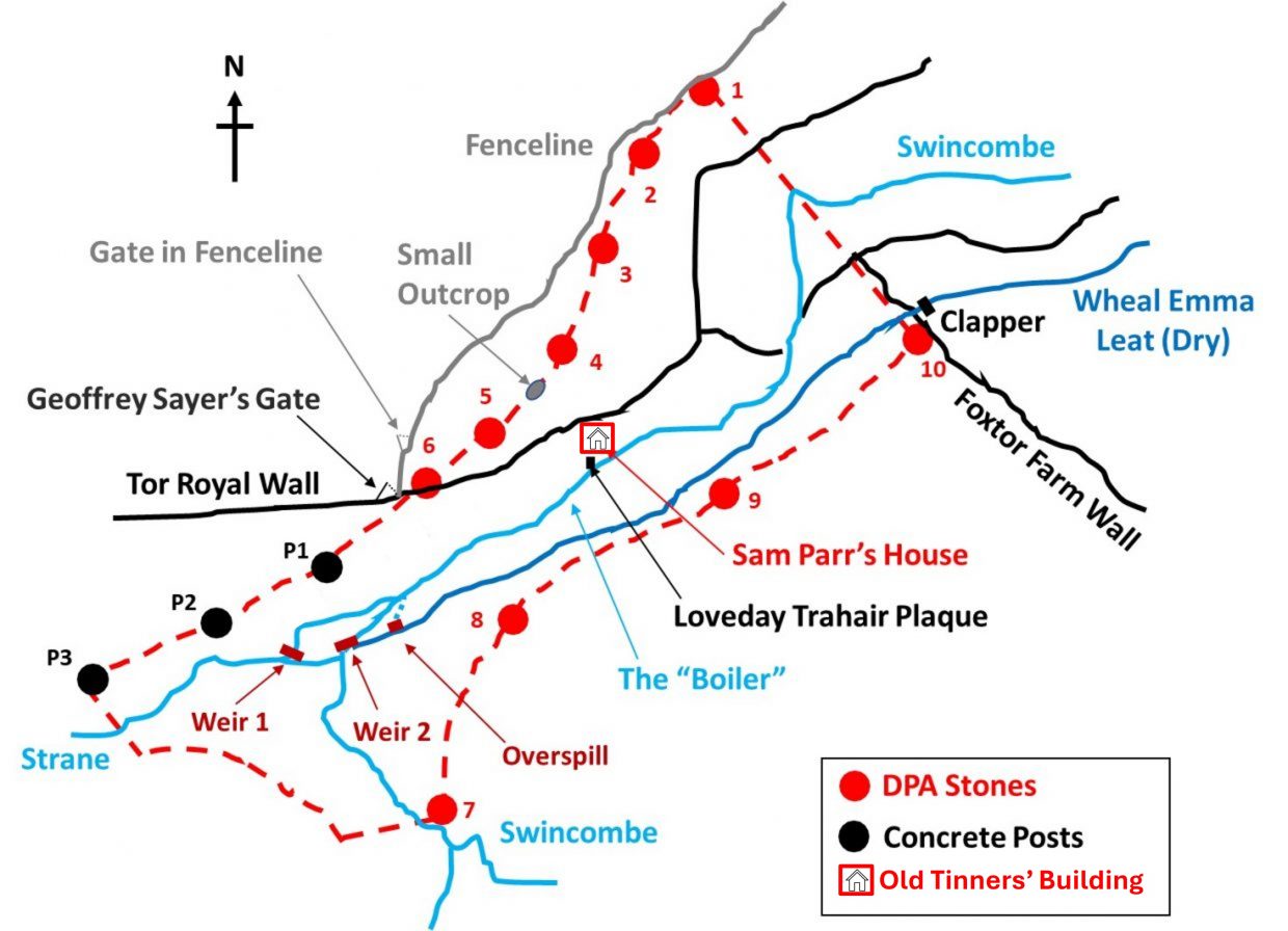
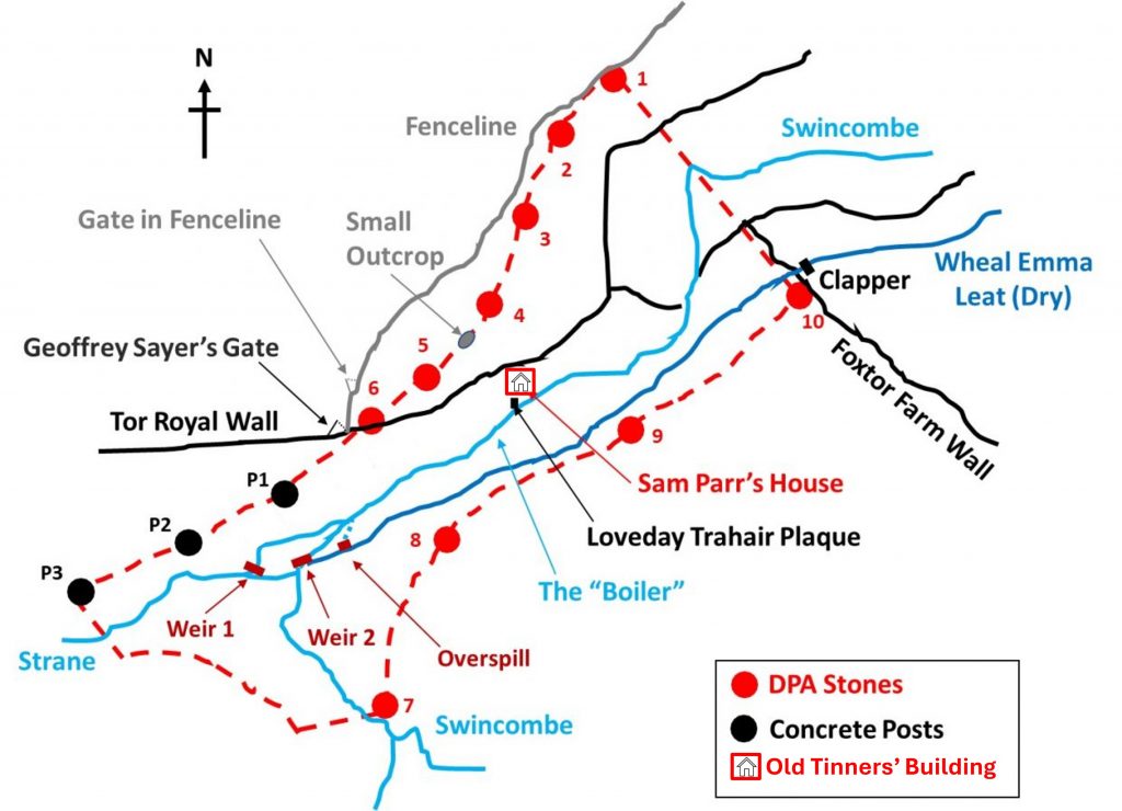
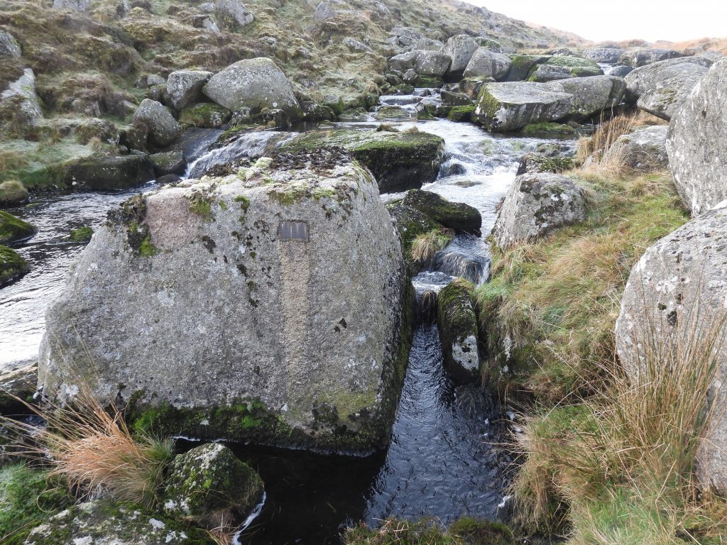
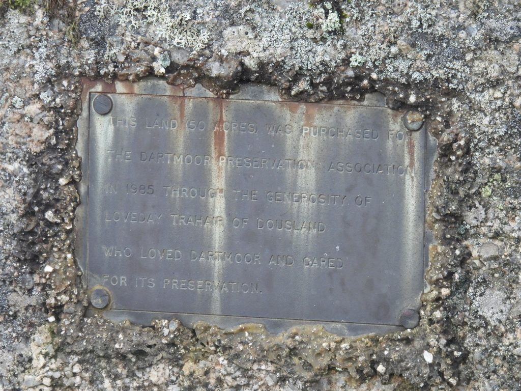
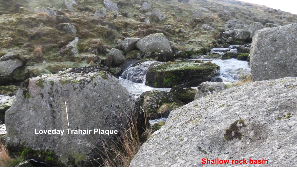
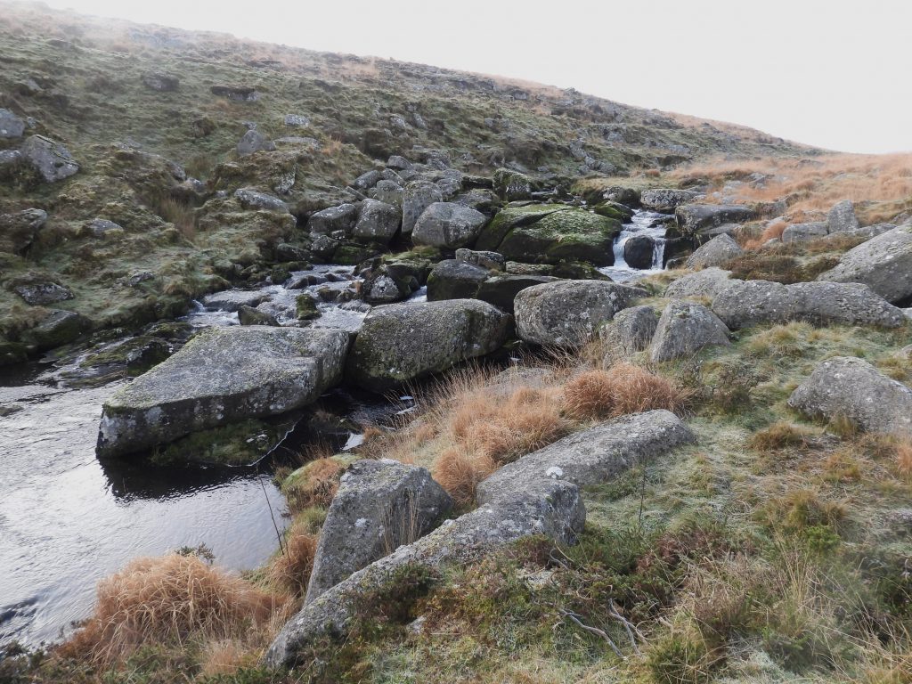
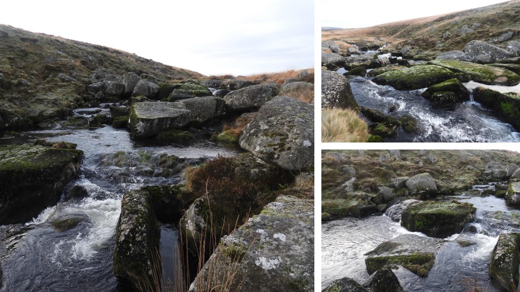
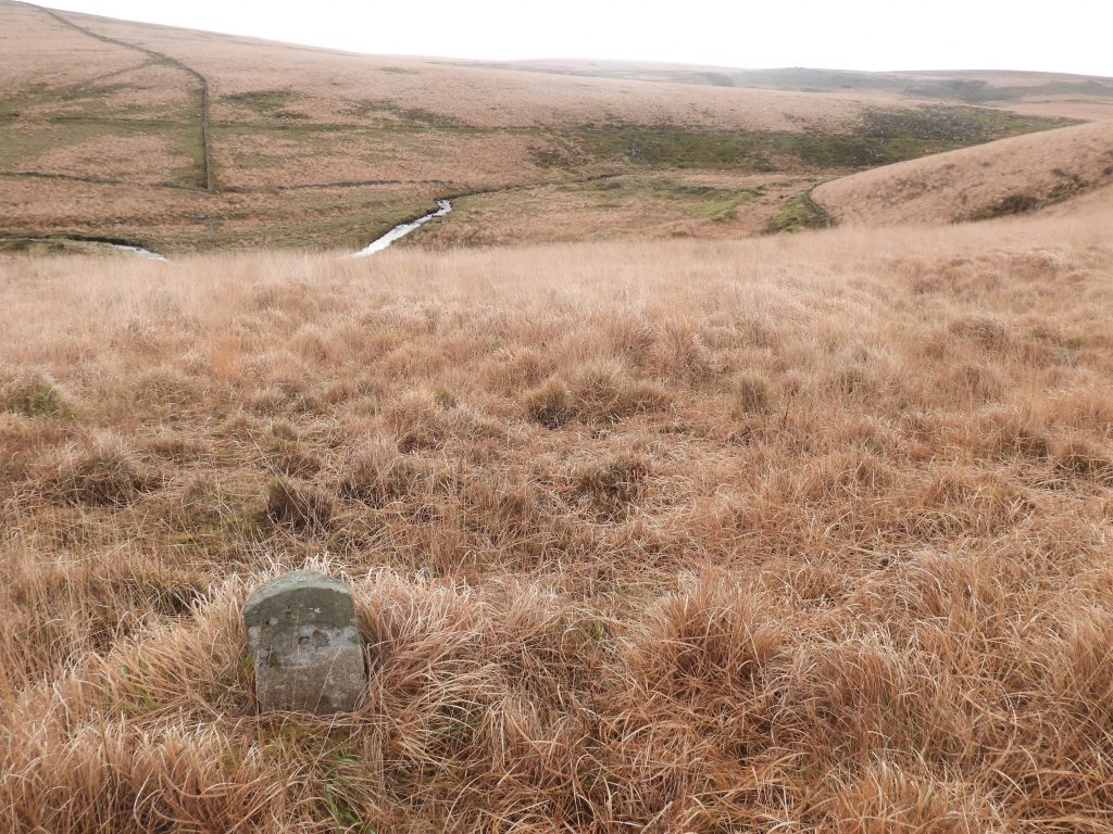
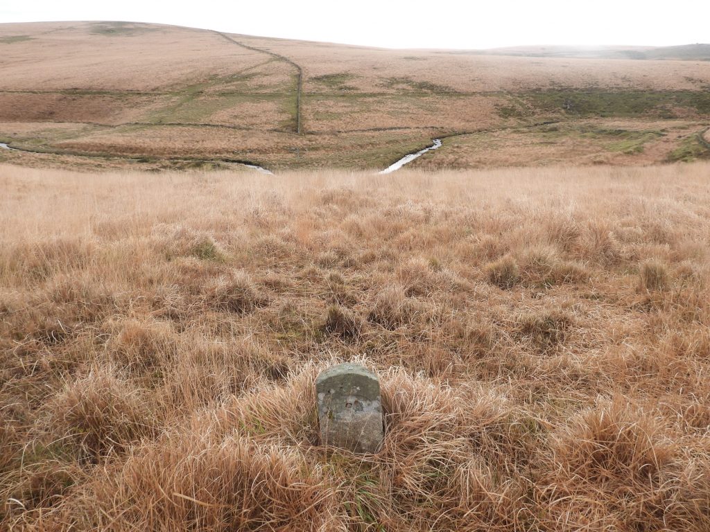
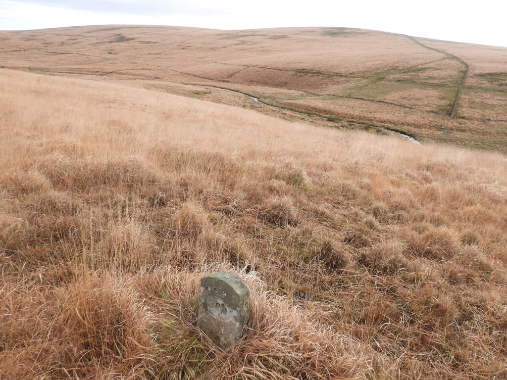
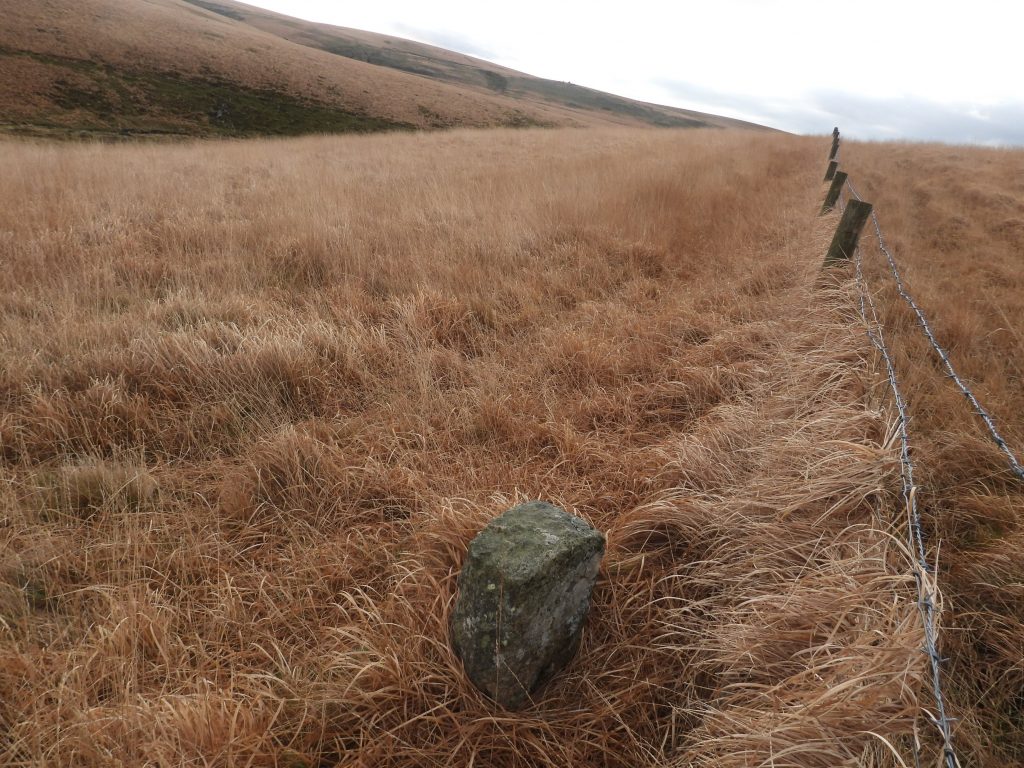
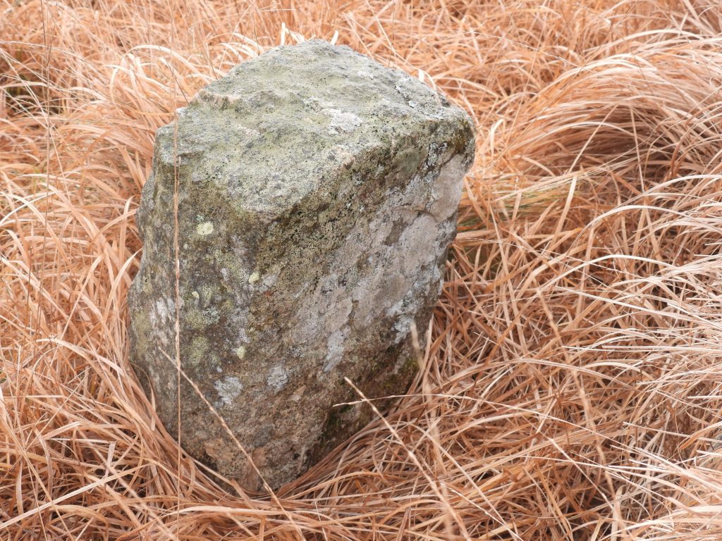
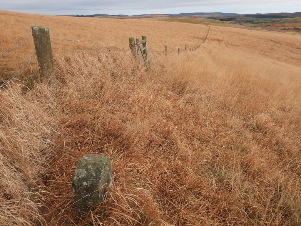
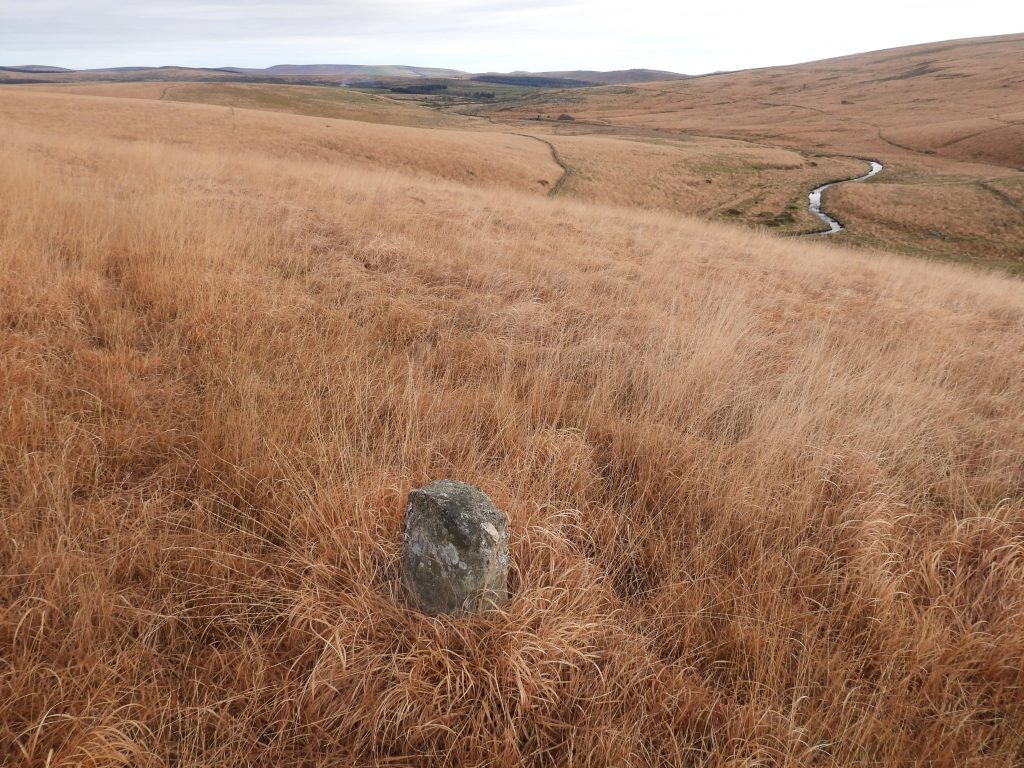
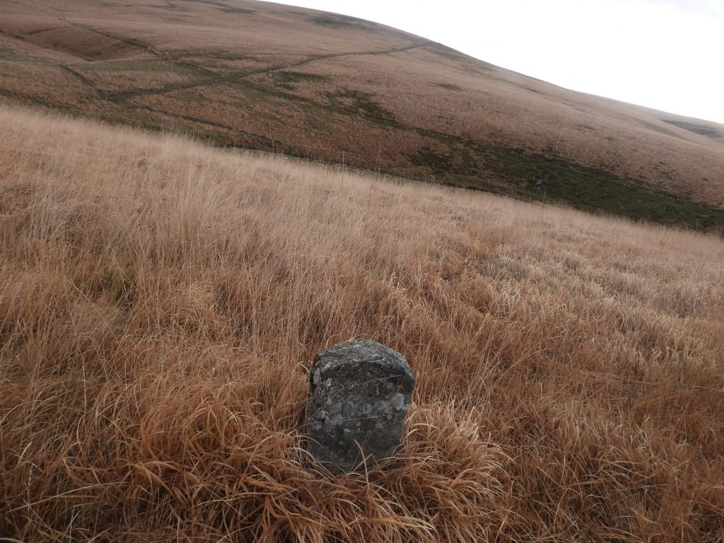
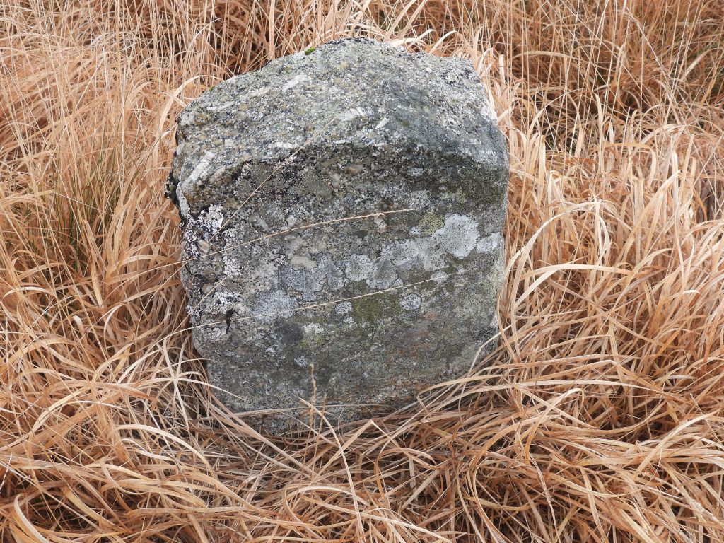
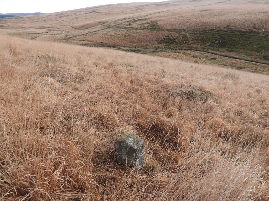
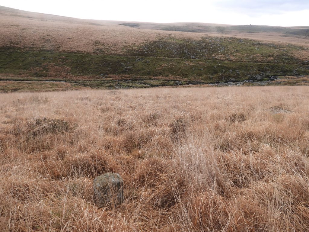
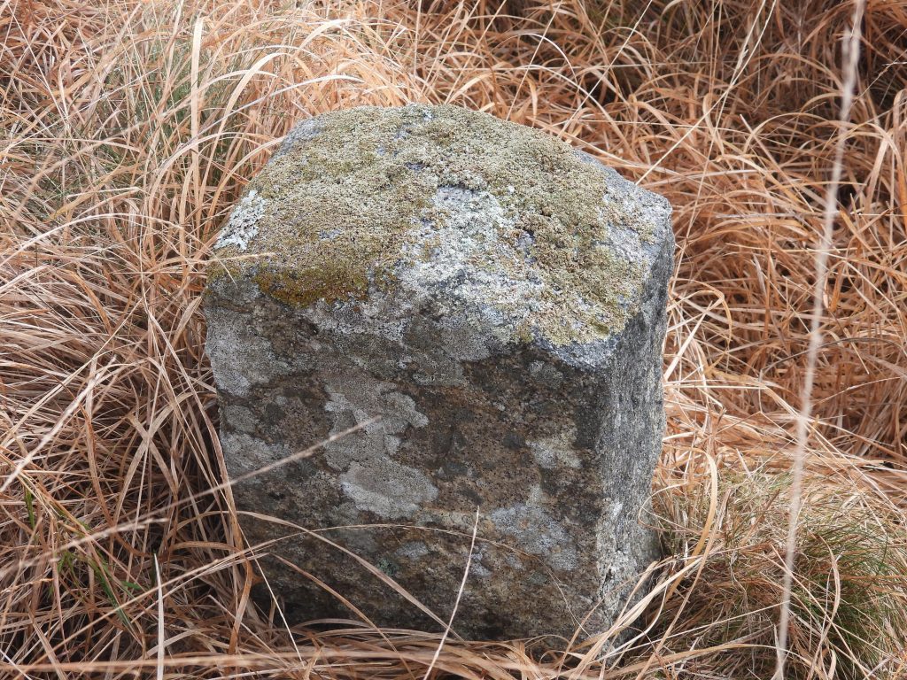
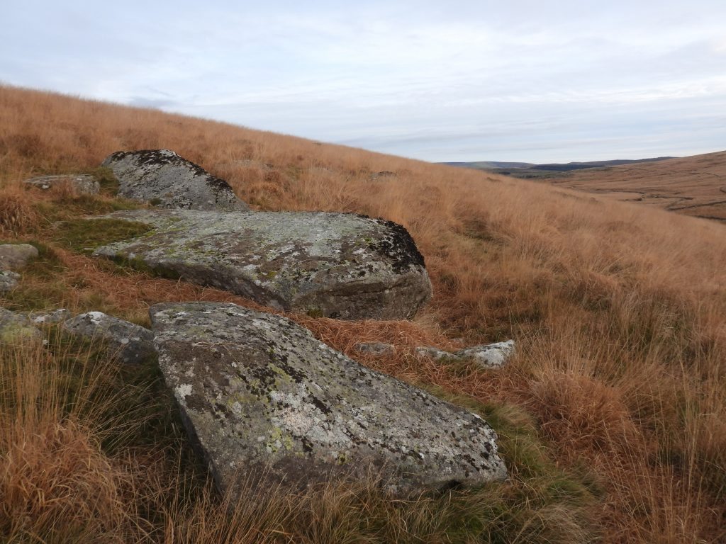
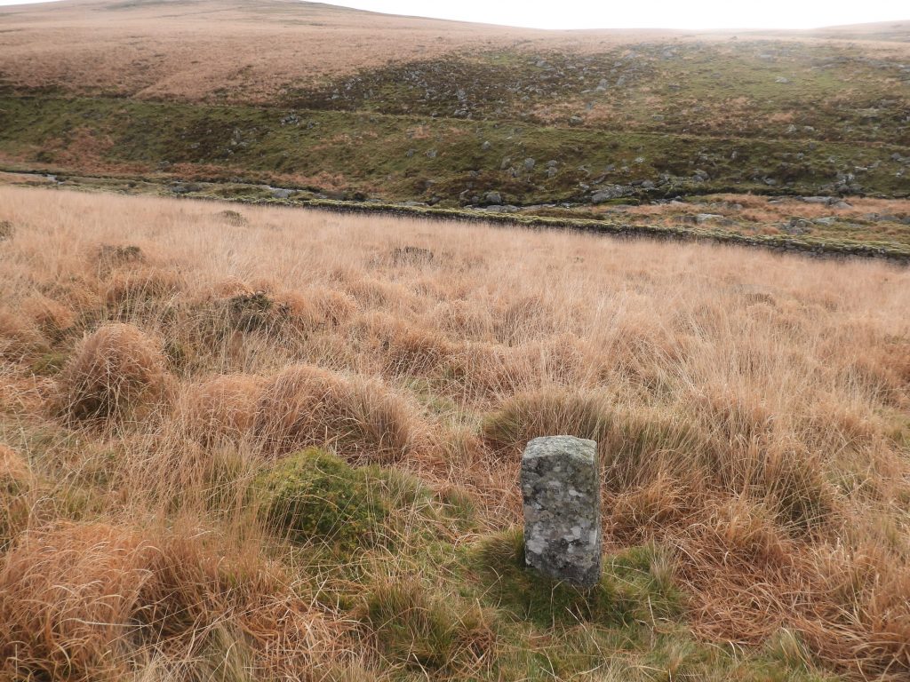
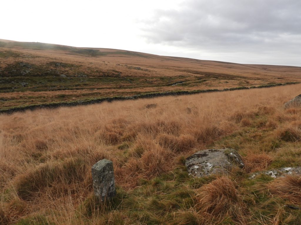
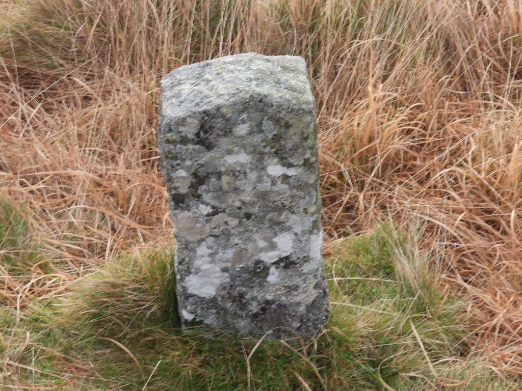
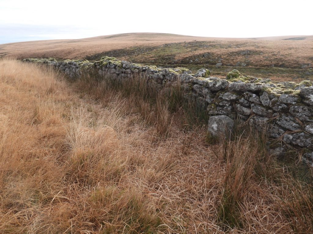
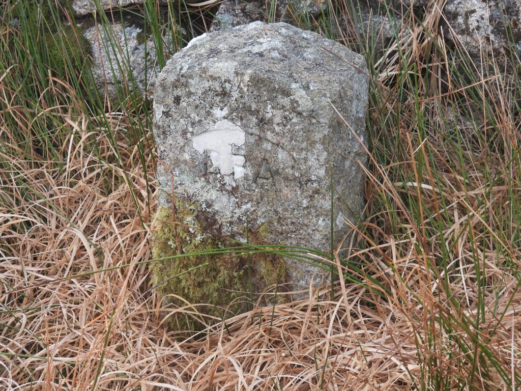
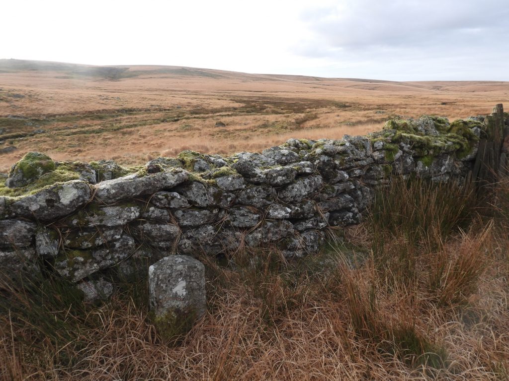
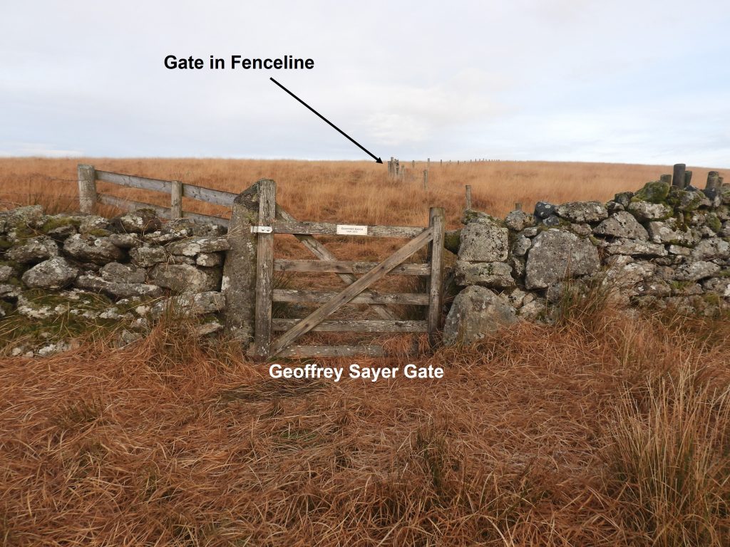
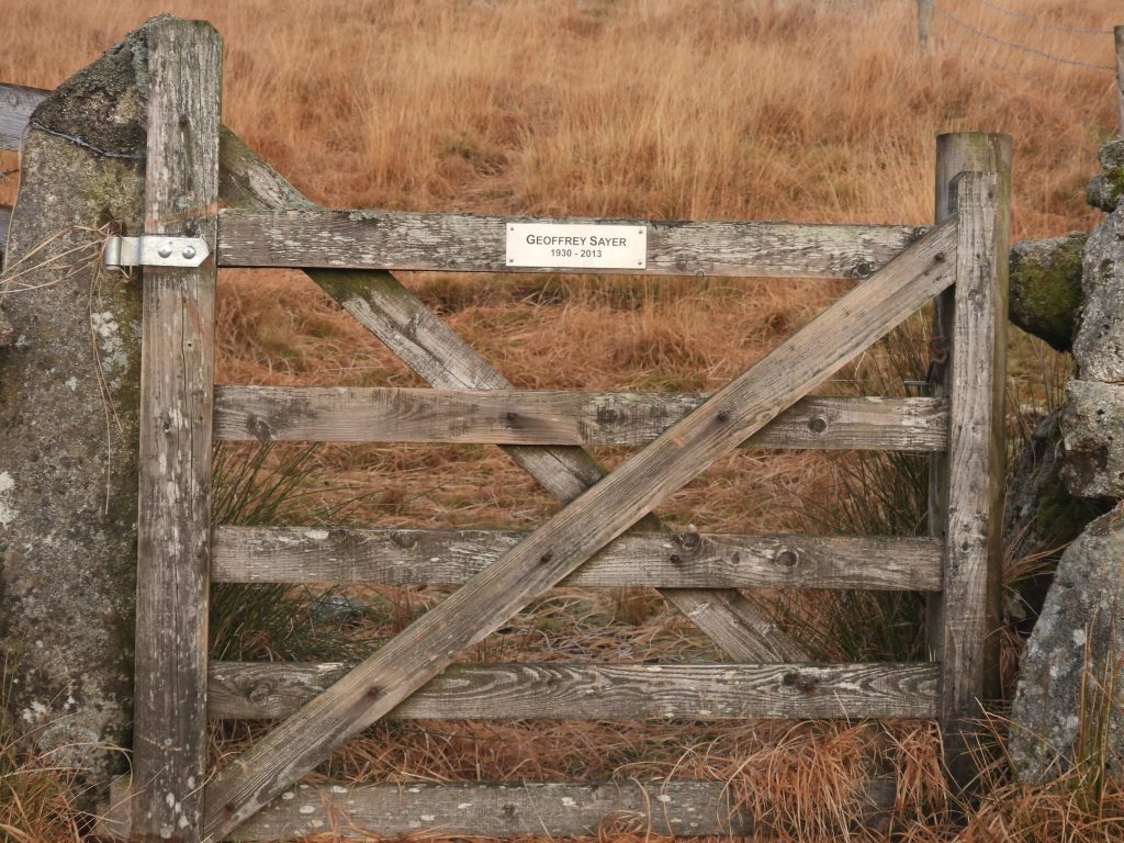
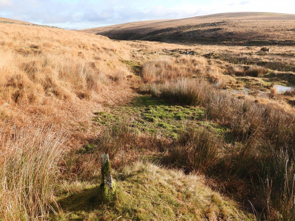
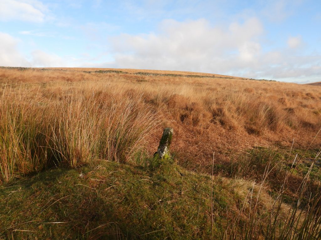
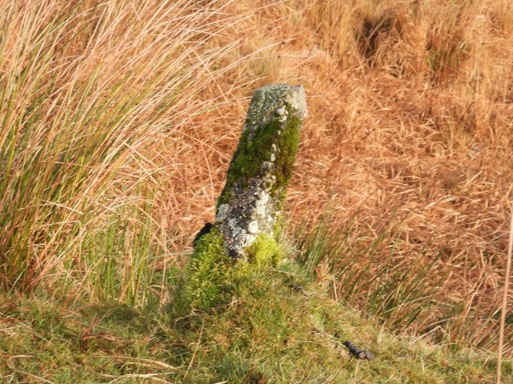
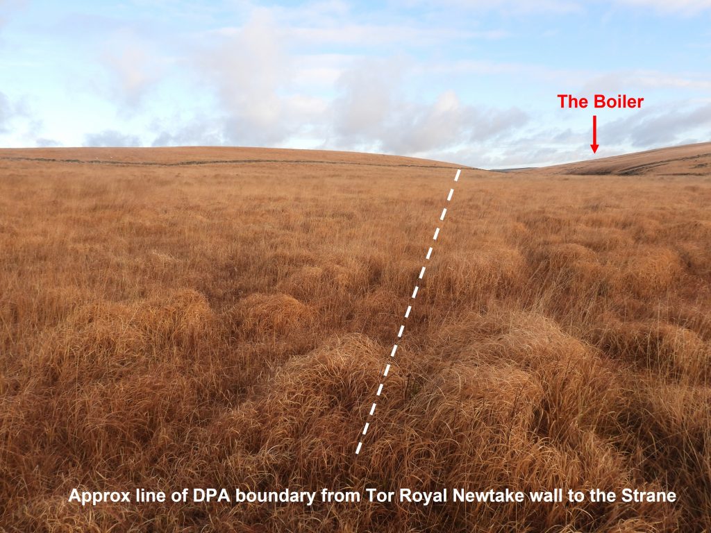
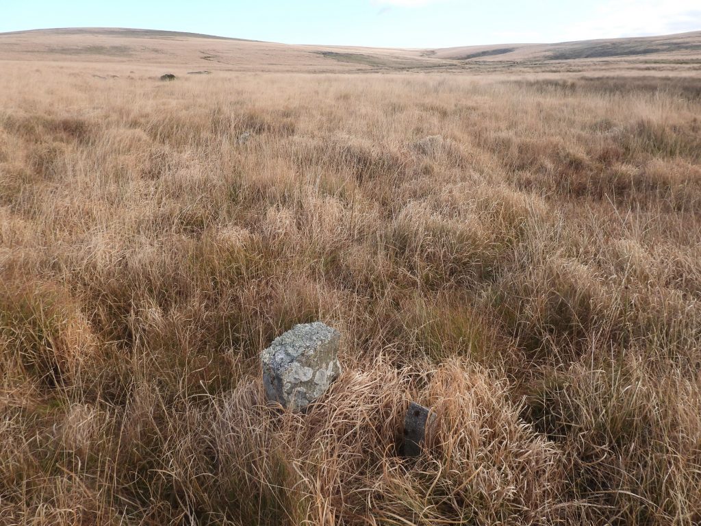
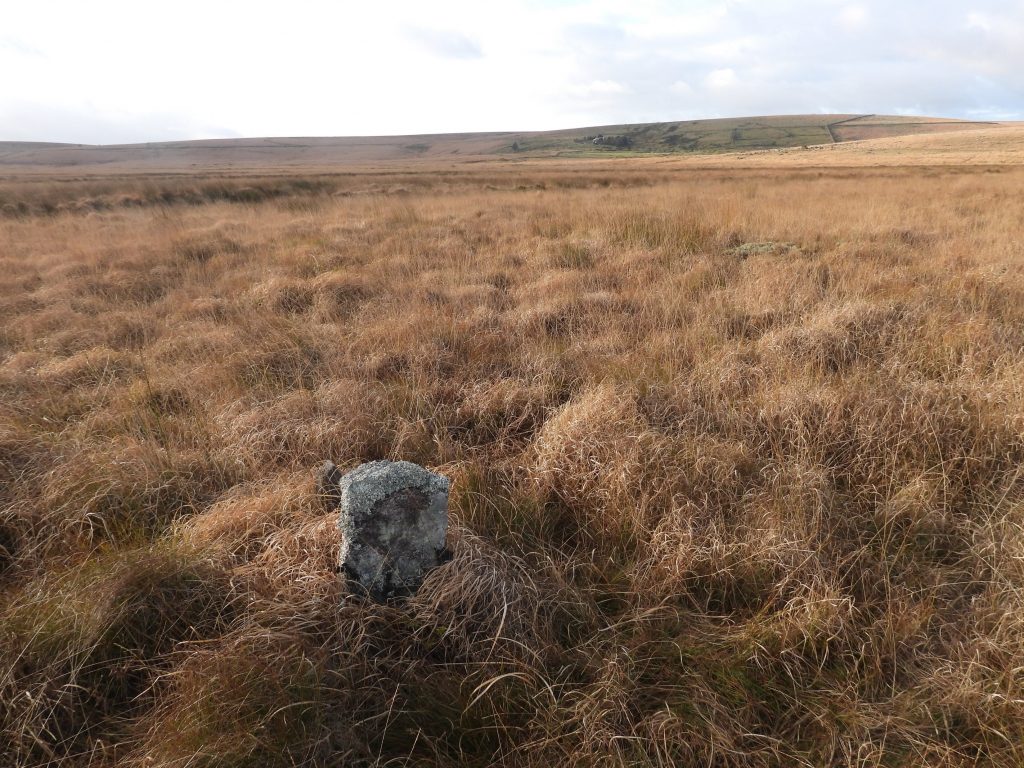
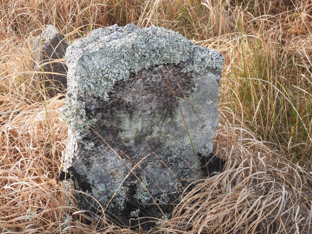
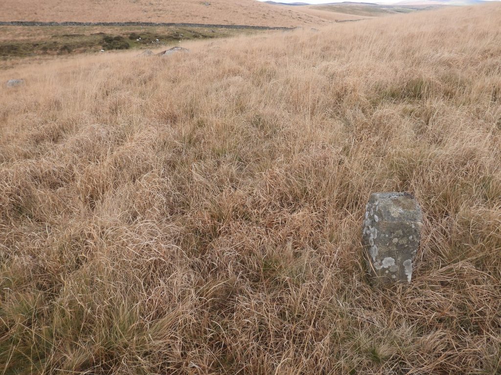
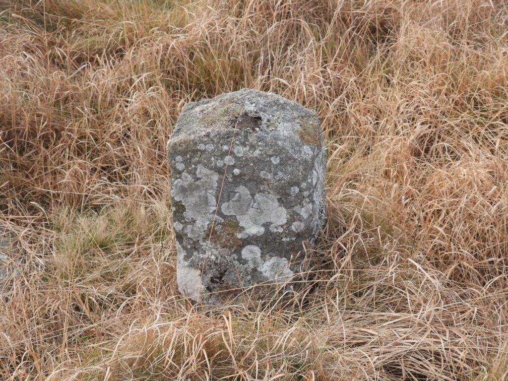
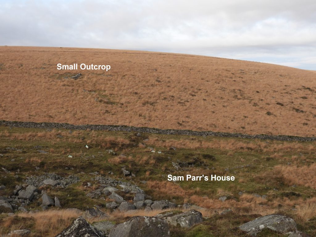
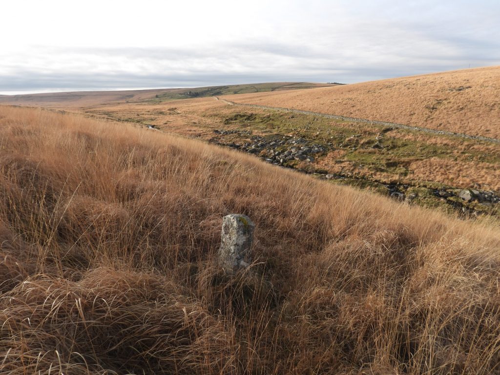
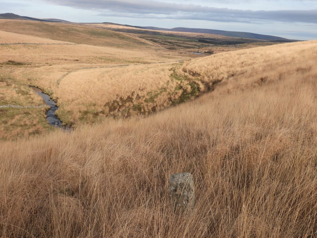
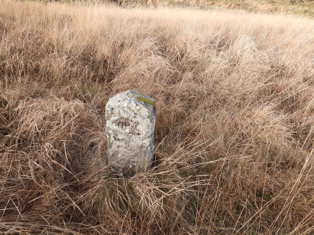
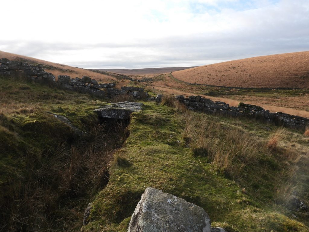
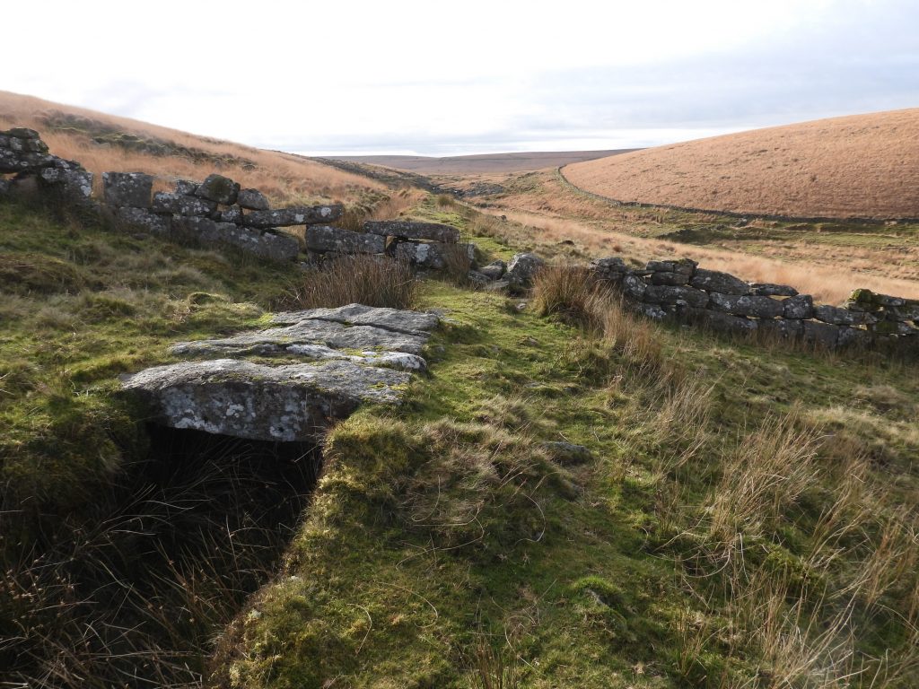
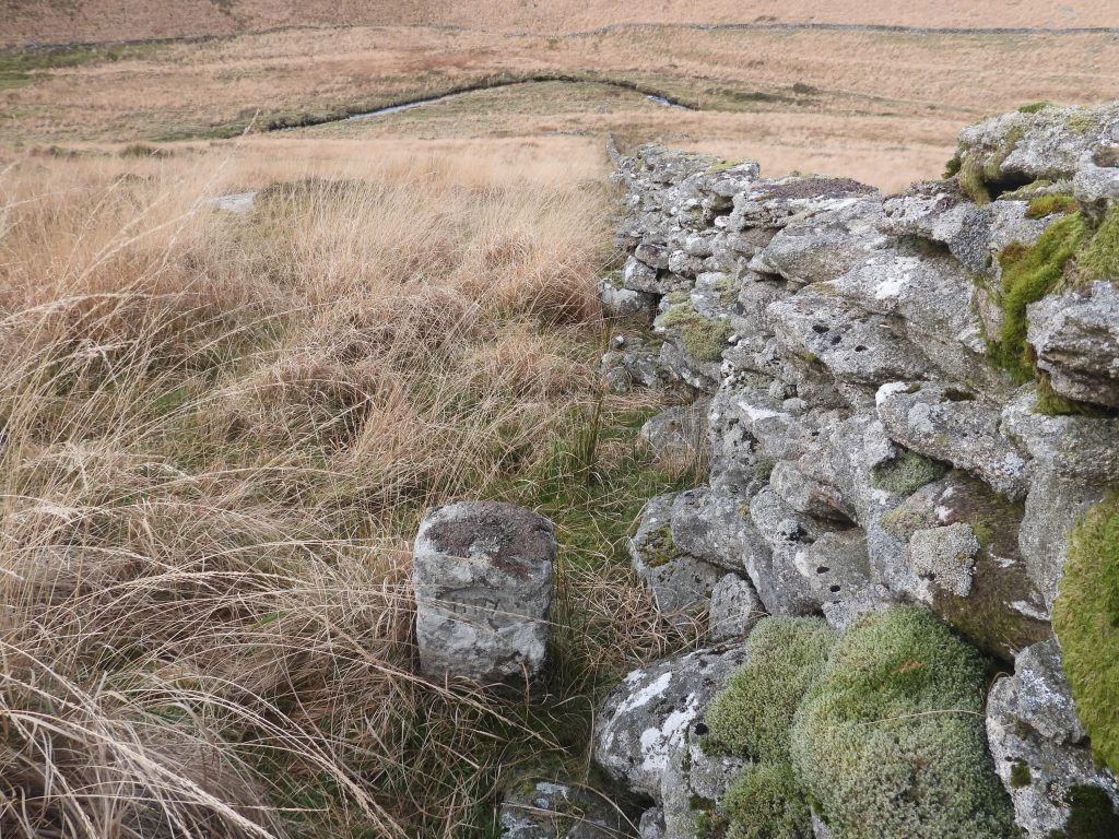
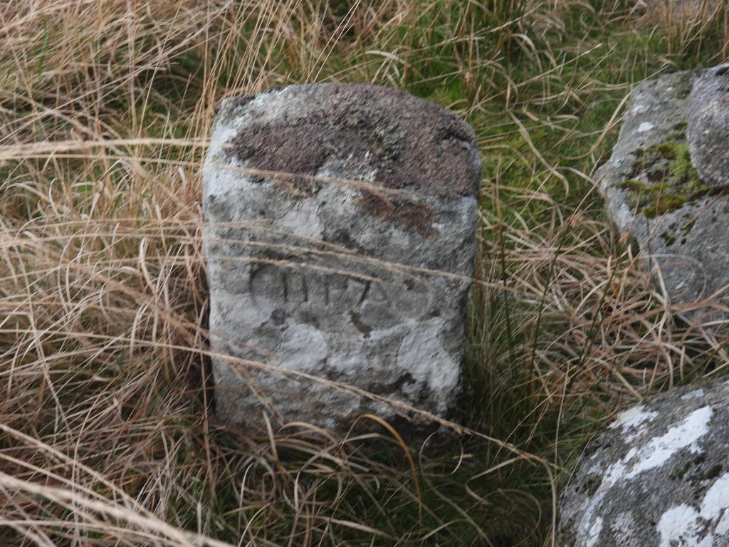
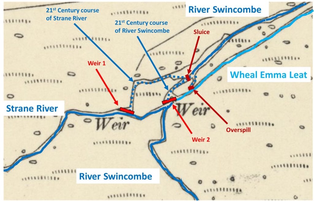
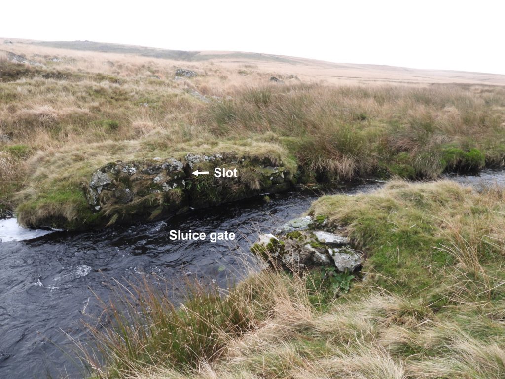
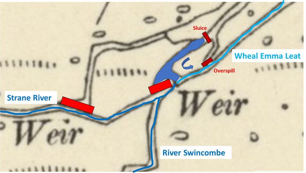
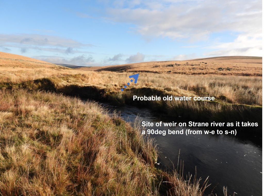
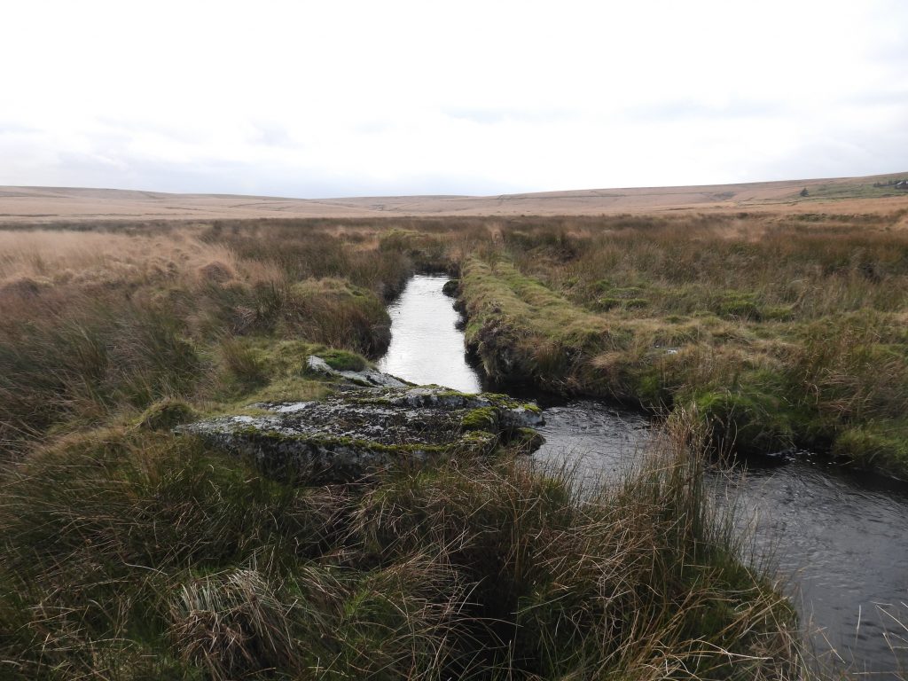
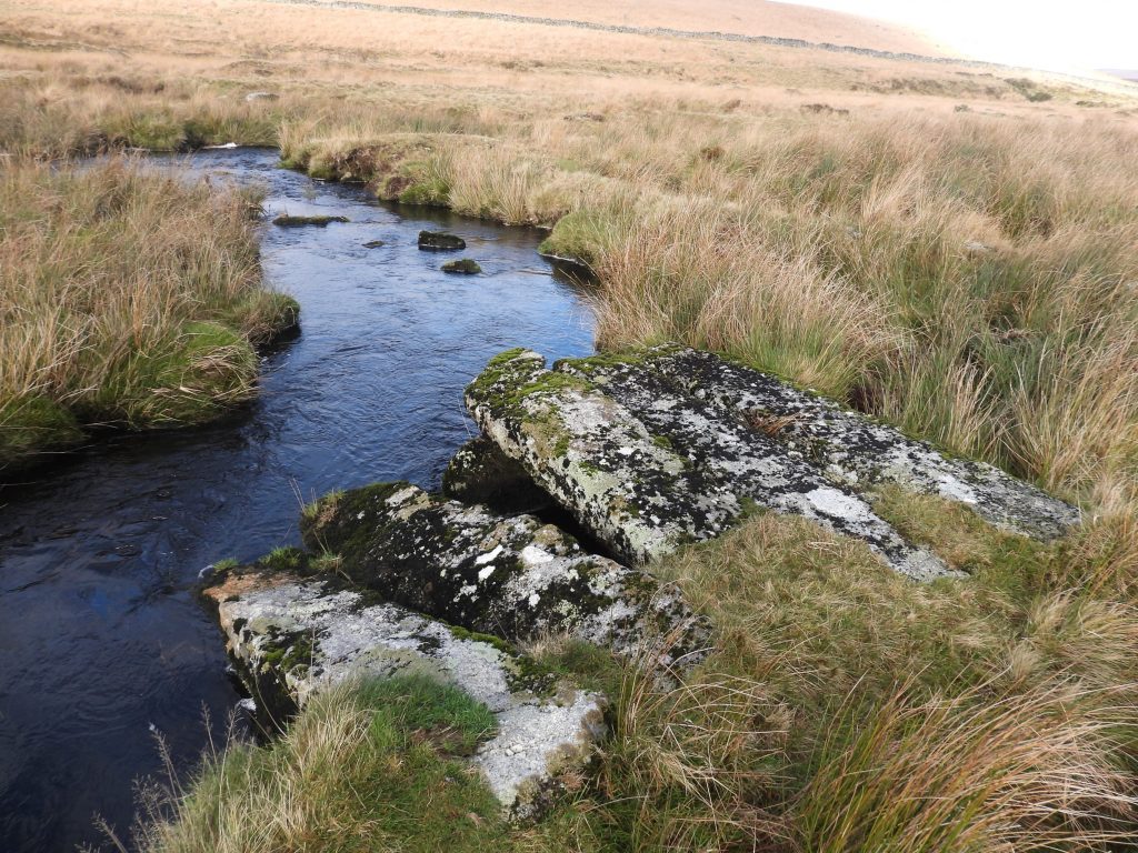
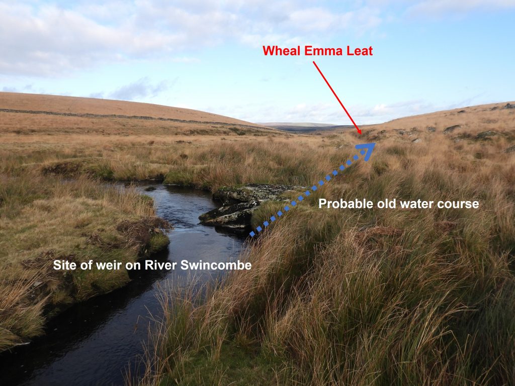
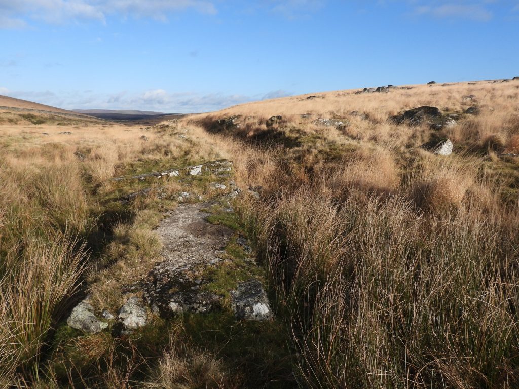
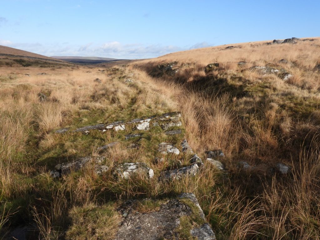
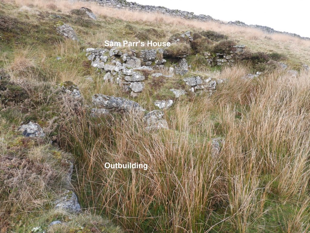
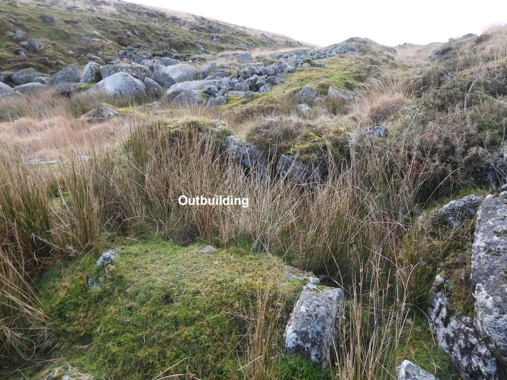
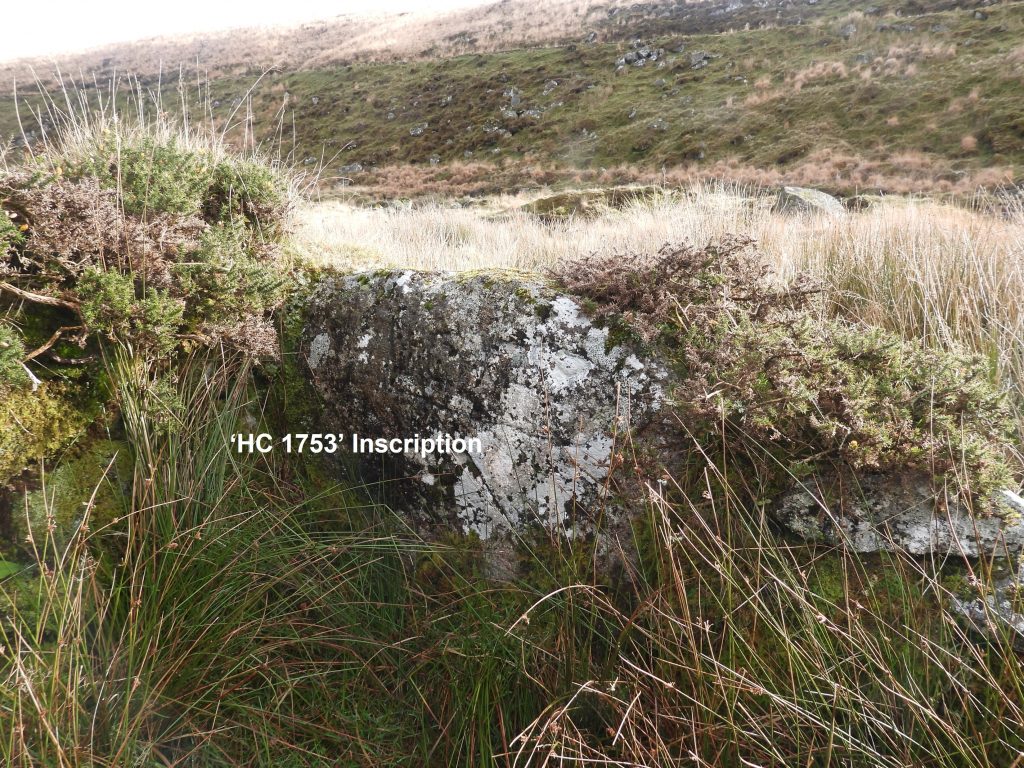
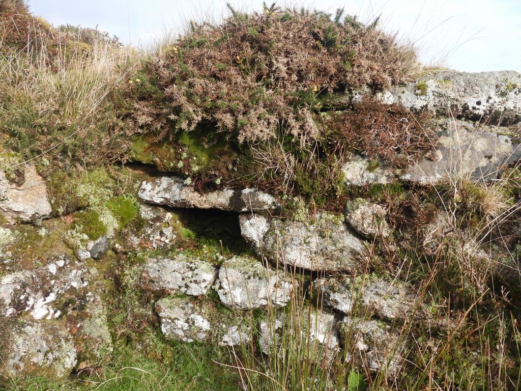
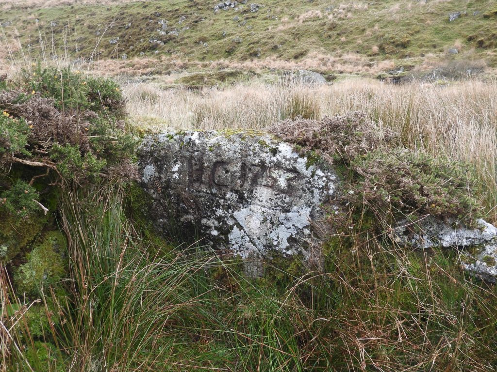
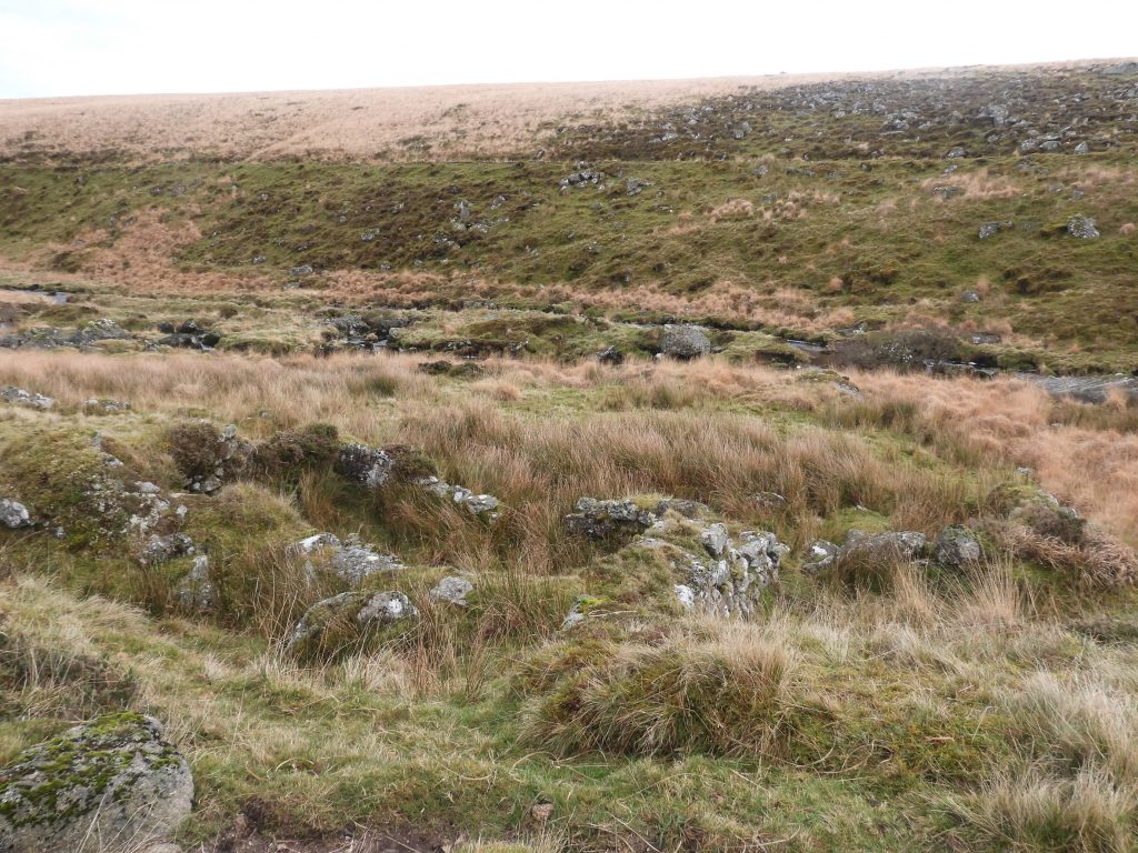
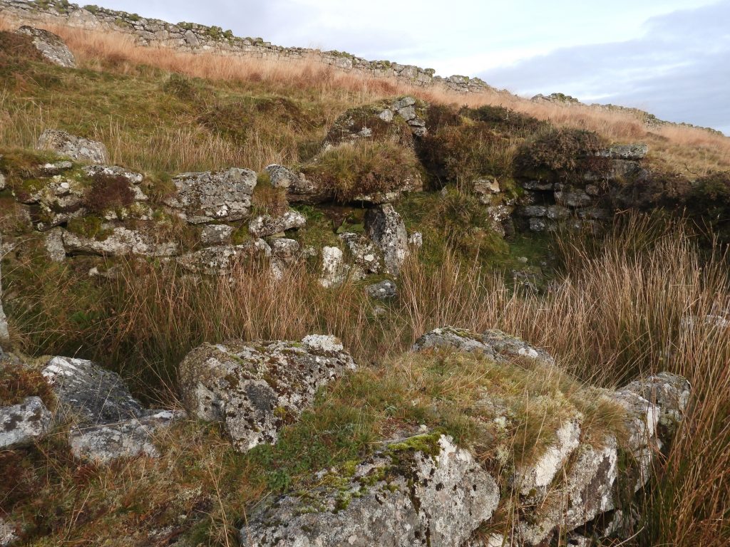
The land acquired by the DPA includes the confluence of the Strane and Swincombe rivers and downstream as far as the Fox Tor farm newtake wall. It also includes just under 9 acres of land within the Tor Royal newtake. In 1987, a series of ten boundstones were erected by the DPA to mark the boundary of this land. The boundary is also marked by three concrete posts. The map shows the DPA land, which within its borders includes tinners’ buildings (in particular a building called Sam Parr’s House), the “Boiler” plus a couple of weirs, a sluice and an overspill associated with the 19th century Wheal Emma Leat. All the features shown in the map are covered in this post. The plaque dedicated to Miss M. Loveday Trahair is located just below the “Boiler” on a large boulder in the Swincombe. The plaque is located at SX62478 71145.A close up of the plaque dedicated to Miss M. Loveday Trahair is inscribed : ‘THIS LAND (50 ACRES) WAS PURCHASED FOR THE DARTMOOR PRESERVATION ASSOCIATION IN 1985 THROUGH THE GENEROSITY OF LOVEDAY TRAHAIR OF DOUSLAND WHO LOVED DARTMOOR AND CARED FOR ITS PRESERVATION.’Near the Loveday Trahair plaque is a large boulder with a shallow rock basin on its top.The “Boiler” is a location on the Swincombe where large boulders fill the river bed and provide large stepping stones. It was Eric Hemery who referred to it as “The Boiler” when flood waters foam between the boulders.More pictures of the “Boiler”. The area is also known to some as “Boiling Cauldron” and is named as such in an article by campaigner Kate found here: Swincombe—saved for the second timeThe DPA boundstones around the Swincombe are similar to those found at Sharpitor (where the DPA acquired 32 acres of land in 1984). The picture shows Boundstone (1), as marked on the sketch map and is on the north east boundary of the land acquired.Boundstone (1) with the Swincombe and the Fox Tor farm newtake wall and the slopes of Ter Hill in the background.Boundstone (1) is located at SX62585 71562.Boundstone (2). The boundstones are machine-finished slabs having an arched top.Close up of Boundstone (2) which is located at SX62502 71489.Boundstone (2) is located close to a gate in the fenceline.Boundstone (3) looking down the Swincombe valley.Boundstone (3) is located at SX62477 71393.Boundstone (3), like each of the boundstones is approx 1m tall.Boundstone (4) is probably the most difficult to find due to the tall grass and isn’t prominent until the explorer gets quite close to it.Boundstone (4) looking south showing the line of Wheal Emma Leat above the Swincombe.Boundstone (4) is located at SX62452 71285.Between Boundstone (4) and Boundstone (5) are a number of large boulders forming a small outcrop, which the author believes is un-named. Perhaps a suitable name is Swincombe Tor or North Swincombe Rocks (note: there is already a Higher Swincombe Rocks further down the valley). These boulders can be found at SX62421 71240.Boundstone (5) is relatively easy to locate where the grass is relatively shortBoundstone (5) looking south west towards the Wheal Emma Leat take off point from the Swincombe.Boundstone (5) is located at SX62384 71196.Boundstone (6) is located close to the old hunting gate, now called the Geoffrey Sayer gate.Boundstone (6) as with all the other boundstones has the letters “DPA” incised in a slightly sunken oval panel. All stones are now quite weathered and the letters are not that clear on all of them.Boundstone (6) is located at SX62287 71131The old hunting gate now known as the Geoffrey Sayer gate. If looking for the 6 boundstones (1-6) to the north of the Swincombe, the explorer should use this gate, then the gate in the fenceline shown in the photograph. Boundstone (6) can be seen from the north side of the gate.Geoffrey Sayer passed away on 17 February, 2013 aged 82. He was the son of Guy Sayer (later Vice-Admiral Sir Guy) and Sylvia Sayer the well known campaigner and champion of Dartmoor. A delightful article about Geoffrey Sayer can be found here : https://campaignerkate.wordpress.com/2013/03/16/geoff-sayer-no-nonsense-enthusiast/As well as the 10 boundstones marking the 50 acre boundary of the DPA landholding, there are (or at least once were) three concrete posts. Post (P1 on sketch map) can be found at SX62197 71066.Concrete post P1 looking east towards Geoffrey Sayer gate.It is surprising that the DPA didn’t add to the boundstones and kept a concrete post as a boundary marker.Concrete posts P1 and P2 could not be found by the author. If they are still in position they would lie somewhere on the line indicated in the photograph. The area is quite marshy and tussocky. Boundstone (7) can be found near the River Swincombe. Next to the boundstone is concrete post, which one assumes was the original boundary marker before the DPA boundstone was erected.Boundstone (7) has a lot of lichen on it. The photograph shows the boundstone with Whiteworks in the distance to the north west.Close up of boundstone (7) which can be found at SX62336 70785.Boundstone (8) can be found near a small footpath between the Wheal Emma Leat take off point and Fox Tor farmBoundstone (8) can be found at SX62365 70983.The ‘DPA’ incised letters are quite clear on boundstone (8).Between boundstones (8) and (9) there is a great view across the Swincombe with views of Sam Parr’s House and the small outcrop (which lies between boundstones (4) and (5)).Boundstone (9) is best approached from the south and cannot be seen from the Wheal Emma Leat.Boundstone (9) with superb views down the Swincombe valley. The grass is quite long here and the ground quite tussocky.Boundstone (9) is located at SX62597 71129.Just to the east of the Fox Tor farm newtake wall there is a fabulous four granite slabbed clapper straddling the now dry Wheal Emma Leat.The clapper is located at SX62787 71321. From this point, the wall (west side) must be followed uphill to find boundstone (10).Boundstone (10) is located next to the Fox Tor farm newtake wall.Boundstone (10) can be found at SX62803 71289.Being quite sheltered the ‘DPA’ incised letters on boundstone (10) haven’t weathered as much as on the other boundstones in the area.Within the DPA landholding lies the take off point for the Wheal Emma Leat. The leat channel from this area was cut in 1859 to supplement the volume of water taken from the river Mardle to supply the water wheels at Wheal Emma copper mine which is located near Buckfastleigh. The whole leat is just over 9 miles long. Primarily water was taken from the River Swincombe but 19th century maps show this was supplemented by water taken from the Strane river from the west as can be seen from the map.Just downstream from the two weirs, there are two walls set into opposite banks of the river, which suggests there might have been a footbridge here at one point. However, with reference to “Follow the Leat” by John Robins (page 36), he mentions (and shows a photograph) a sluice gate, which when in position, would have raised the water level to supplement the water into the Wheal Emma Leat. This structure can be found at approx. SX62268 70992Using the 19th century map of the area, the author speculates how the system may have worked. Firstly, the Strane river was redirected by a weir changing the direction of the river straightening it into a east/west direction. A second weir across the Swincombe would direct the water into the Wheal Emma Leat. The sluice gate (most probably) have been used to take account of weir water leakages (?) and the the water would have been raised and directed back toward the leat. The 19th century map, does suggest a secondary water inlet point to the east of the weir. The author does have some doubt about this theory and would welcome any comments. There is also a small spillway a short distance from the start of the Wheal Emma Leat start point.The weir on the Strane river has all but disappeared. That said by looking at the old 19th century map, it can be deduced it was located where the river now bends 90 degrees from a west – east direction to a north – south direction. The man made banks hereabouts and the marshy area as shown in the picture indicate the probable water course that would have been taken to supplement the water feed from the Swincombe.The Wheal Emma leat take off point from the Swincombe (and Strane) is a little more obvious as there are 5 granite posts located here. John Robins in his book “Follow the Leat” suggests that two of the five slabs were in fact part of an old footbridge with the remaining three being the old weir.The five granite slabs of the Swincombe weir can be located at SX62245 70966.Probable water course from River Swincombe weir to Wheal Emma leat.Wheal Emma leat and spillwayThe spillway can be found at SX62264 70979.Sam Parr’s house and outbuilding. The 1841 census return indicated the Parr family were living in this converted tinner’s hut by which time had acquired the name of Stream Cottage. The Parr family had moved in circa 1840. The main building is located at SX62479 71187.The outbuilding at Sam Parr’s House measures 2.4 metres north to south by 1.5 metres with an entrance in the north-east corner. It is located at SX62472 71172.In the south east corner of Sam Parr’s house is a large inscription on one of the granite blocks.Sam Parr’s ‘Keep Safe/ Cache’ or ‘Candle Niche’.The ‘HC 1753’ inscription enhanced with a mud makeover. The cross bar of the “H” doesn’t look complete.View of Sam Parr’s house looking from the north towards the Swincombe. The line of Wheal Emma leat can be seen on the opposite bank.The Dartmoor HER is described at as a “building measuring 6.2 metres south-west to north-east by 3.5 metres with an entrance placed centrally in the south-east side. A recess in the northern corner probably marks the site of the chimney”.
As always, a fabulous piece of field work. I have walked in this area but don’t ever recall seeing the DPA stones. This is a great inspiration to get me out there again. Thanks for taking the time to document it so carefully and to share it.


 0
0





Nigel Machin December 4, 2021
As always, a fabulous piece of field work. I have walked in this area but don’t ever recall seeing the DPA stones. This is a great inspiration to get me out there again. Thanks for taking the time to document it so carefully and to share it.
SteveGrigg1961 December 4, 2021 — Post author
Thank you for your comment Nigel. Lots to see in only 50 acres. The biggest issue is crossing the river !