A collection of walks, discoveries, insights and pictures of exploring Dartmoor National Park
July 10, 2026
Ivybridge Local Board (ILB) Boundary Stones
The Ivybridge Local Board of Health was formed in early 1873 as a direct result that the village was expanding and being on the junction of four parishes (Harford, Cornwood, Ermington and Ugborough), with some part of the community in each of these, it was very difficult to get anything done, especially around sanitation.
The historical pre-cursor to the formation of the Ivybridge Local Board (ILB) and subsequent setting up of their Boundary Stones really begins with the introduction of the Public Health Act in 1848, which organised public health to areas with high death rates. This act, however only covered 10% of the urban population. There followed a Sanitary Act which was issued in 1866 before finally a truly nationwide Public Health Service being established through the Public Health Act of 1872. The 1872 act divided the country into Sanitary Districts governed by elected Boards of Health.
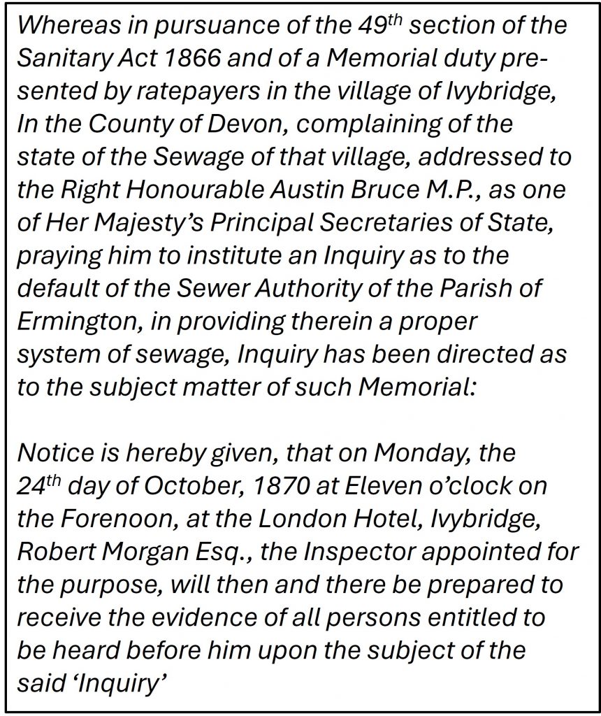
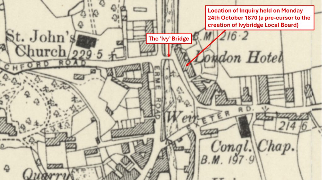
The Ivybridge Local Board (ILB) was ‘kick-started’ after the Sanitary Act 1866, when a subsequent inquiry about local sewage was held at London Hotel in October 1870. The result of the inquiry and subsequent Public Health Act of 1872, resulted in Ivybridge Local Board of Health members being declared on 6th January 1873. The Local Board was tasked with all the responsibilities of a Sanitary District.
The ILB powers and responsibilities included consolidating control over water supply, sewerage, drainage, street cleansing, paving, and environmental health regulation, all under one body. The board was permitted to hire roles like a surveyor, clerk, treasurer, and a qualified doctor as an officer of health. It was mandatory to appoint an “inspector of nuisances” (sanitary inspector) to handle complaints regarding unsanitary housing, refuse, industrial emissions, polluted water, noise, adulterated food and slaughterhouse issues. The ILB held the authority to purchase land and define its jurisdictional boundaries (hence the Boundary Stones). The board eventually took over other local functions such as the responsibility for lighting, water and finance. In 1894 the ILB became the Ivybridge District Council and in 1935 the Ivybridge District Council was amalgamated with Plympton St. Mary.
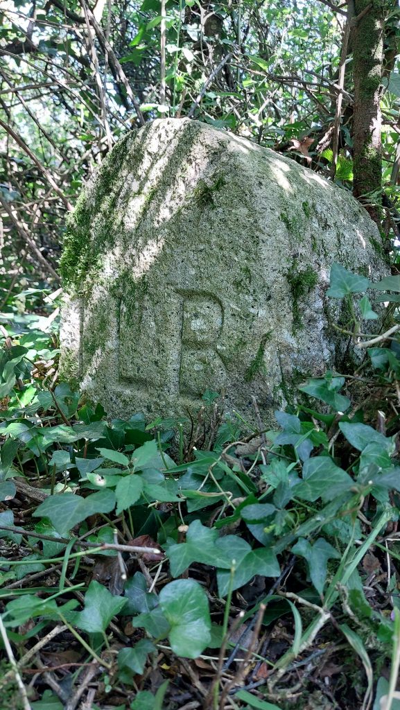
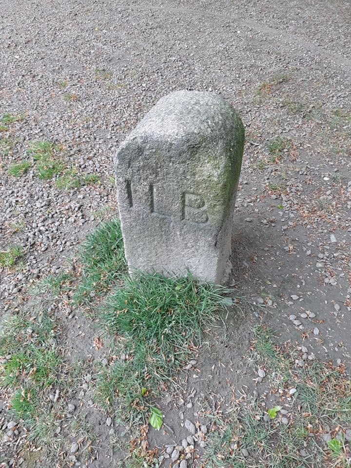
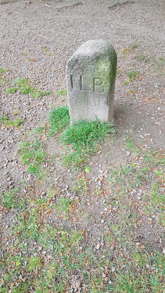
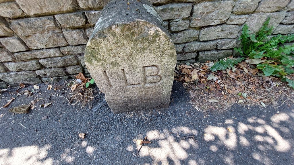
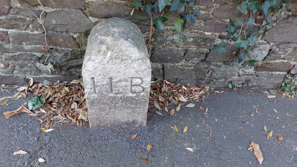
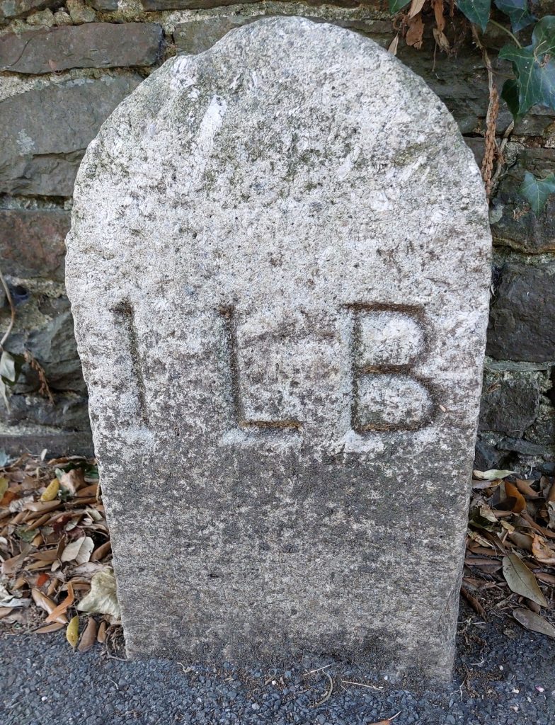
To mark its jurisdictional borders, the Ivybridge Local Board installed 12 Boundary Stones each inscribed with “ILB” (Ivybridge Local Board) around the town’s perimeter. Only 7 of the original 12 stones remain today, in the main due to 20th / 21st century redevelopment (e.g Devon Expressway).
This post explores the locations of the remaining ILB Boundary Stones and some of nearby local environs. It would not have been possible without information obtained from Dave Brewer’s Dartmoor Boundary Markers (2nd Edition) and from a web entry by the Ivybridge Heritage Group, for which the author fully acknowledges.
Tim Jenkinson – (2007) – Miscellaneous Milestones and Boundary Markers of Dartmoor Roads (Report – Survey). SDV361800.
B. Wilson – (2015) – Ivybridge Markers (Report – Survey). SDV359286.
J. Marchand (2003) – Archaeology within Longtimber and Pithill Woods, 6 (Report – Survey). SDV365058.
Tim Jenkinson – (2005 – 2011) – B3416/B3212/B3344/Old A38 Exeter to Plymouth (Report – Survey). SDV322256
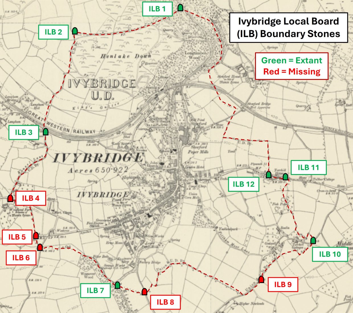
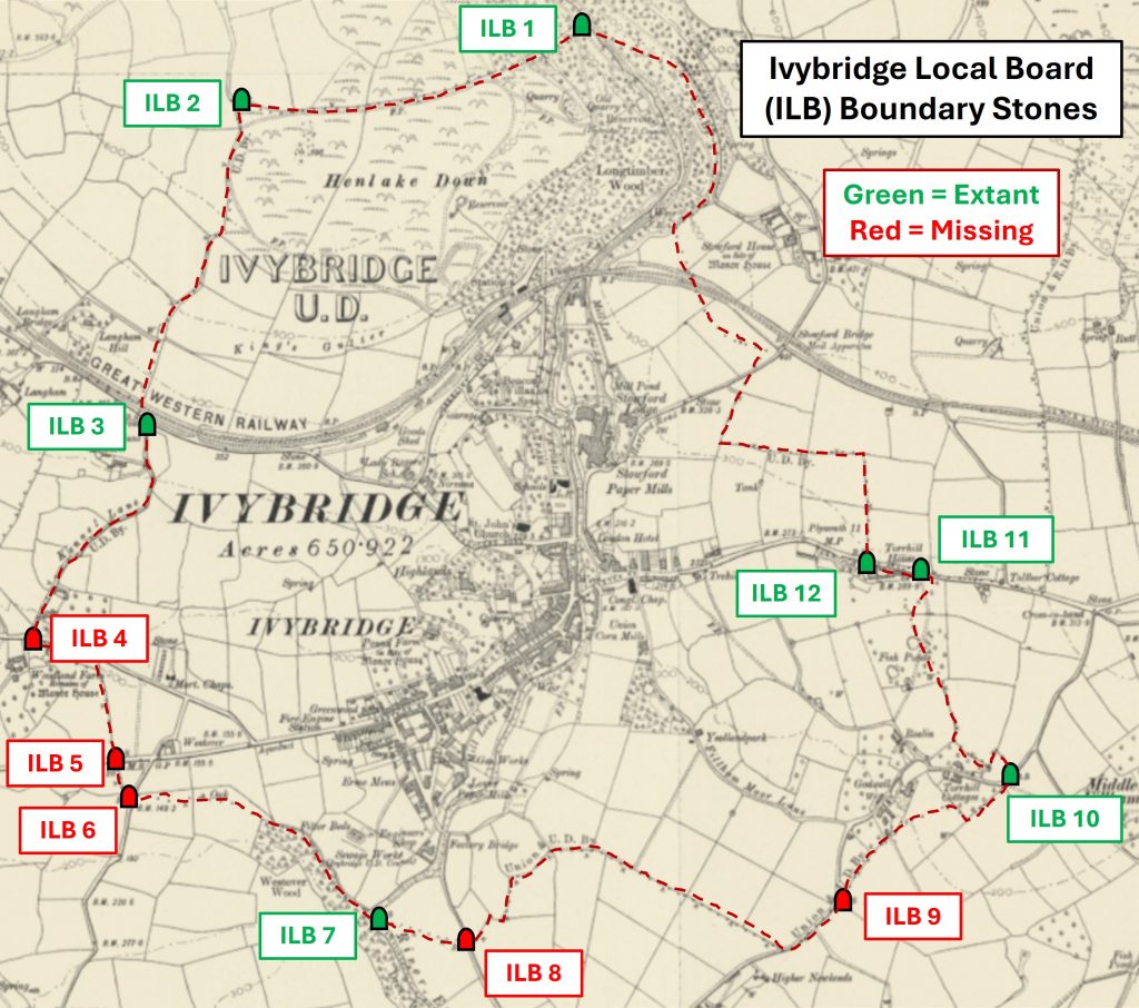
This annotated map from early 20th century shows the locations of the 12 ILB Boundary Stones around the town. The green colouring depicts the extant stones and the red colouring depicts the missing or lost stones. The author is sure this location depictions are accurate which are based on information from the Ivybridge Heritage Group. Note the title ‘IVYBRIDGE U.D.‘ which is assumed to stand for ‘Urban District’. Each Boundary Stone is around 12″-15″ tall and has a rounded topThis poster detailing the cause for concern regarding the disposal of sewage dated 8th October 1870 was a pre-cursor to the formation of the Ivybridge Local Board of Health, who first met in January 1873
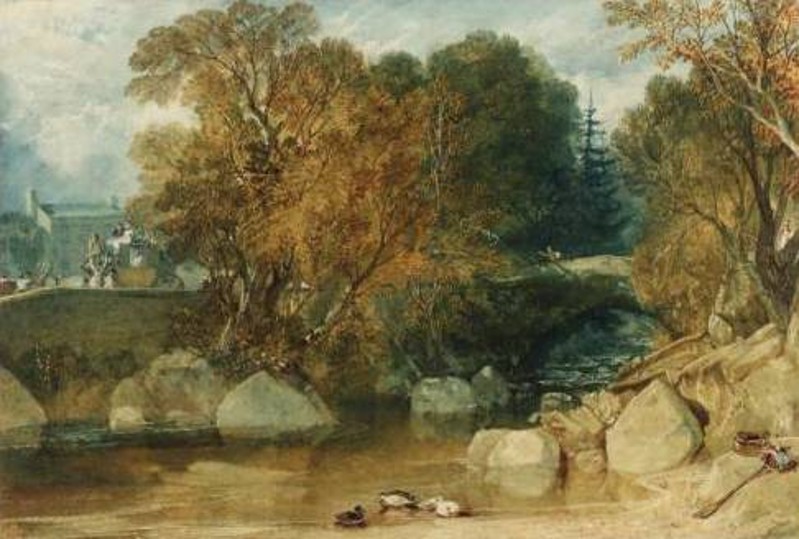
The name ‘Ivybridge’ is derived from a small 13th century hump-backed bridge over the Erme. There may have been a bridge crossing here from as early as 1280, when it was called ‘Ponte Ederosa’. By 1291 it was recorded as ‘Ive Bridge’ and in 1313 ‘Ivybrygg’. The above is a picture by J.M.W Turner from 1813 of the bridge which is thought to have been a 17th construction. The view looks like it is from the east bank looking upstream. The building behind the carriage may well be Erme House on the Blatchford Road, which is thought to date from early 19th century.
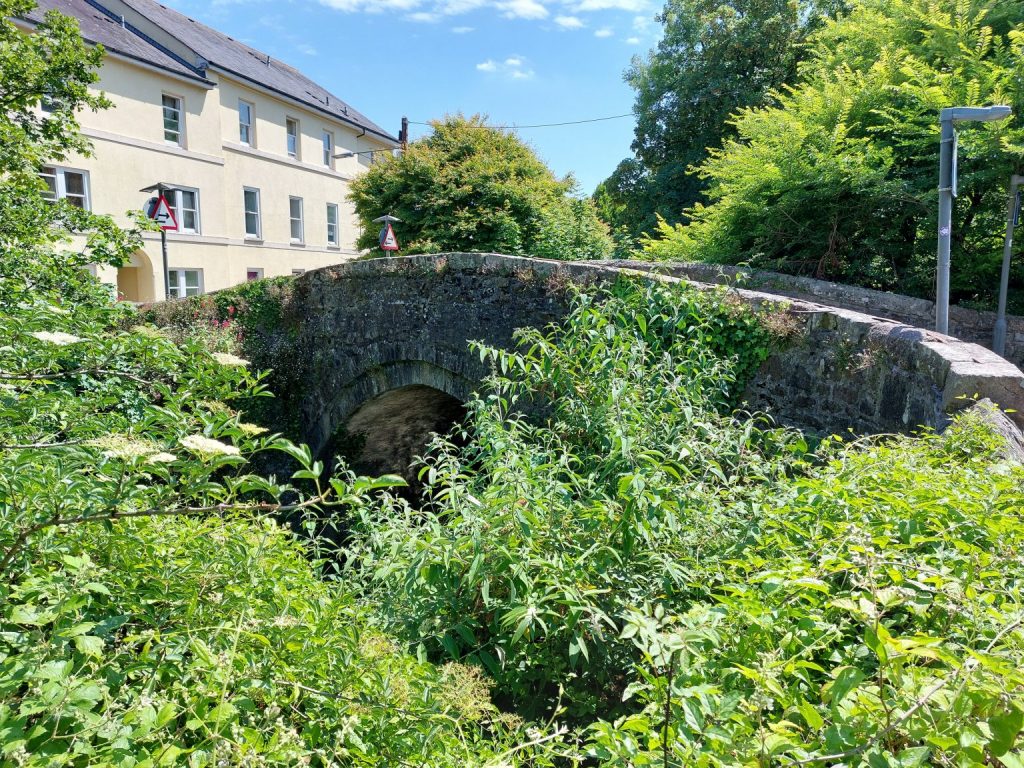
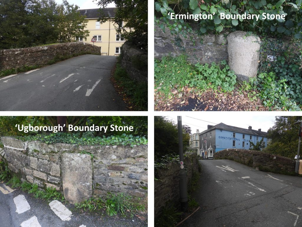
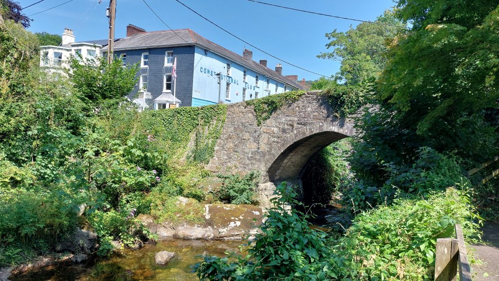
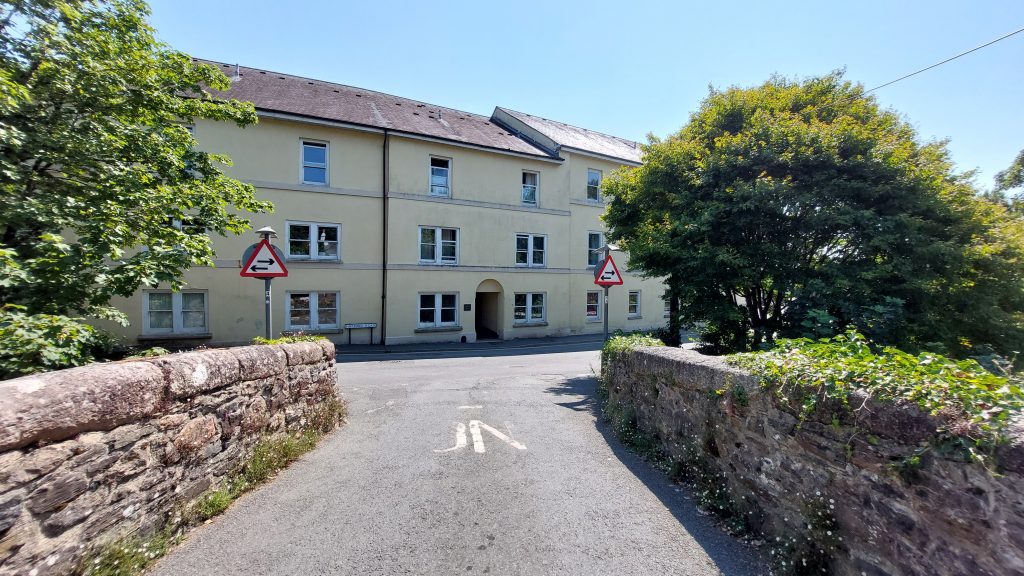
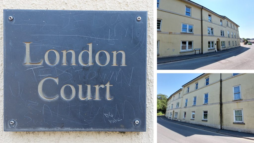
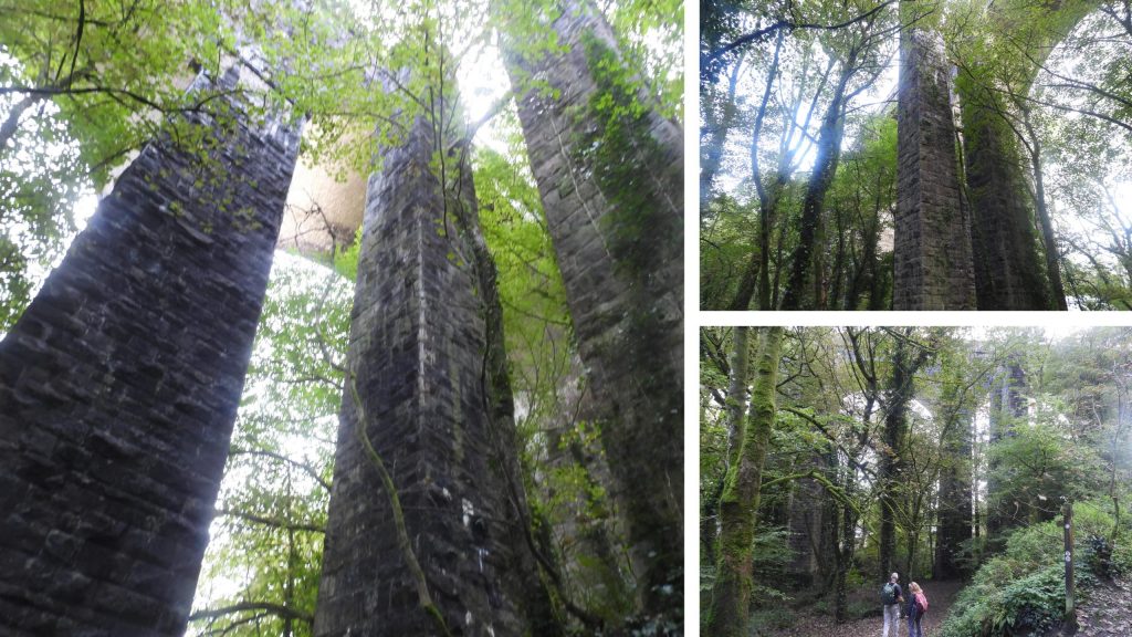
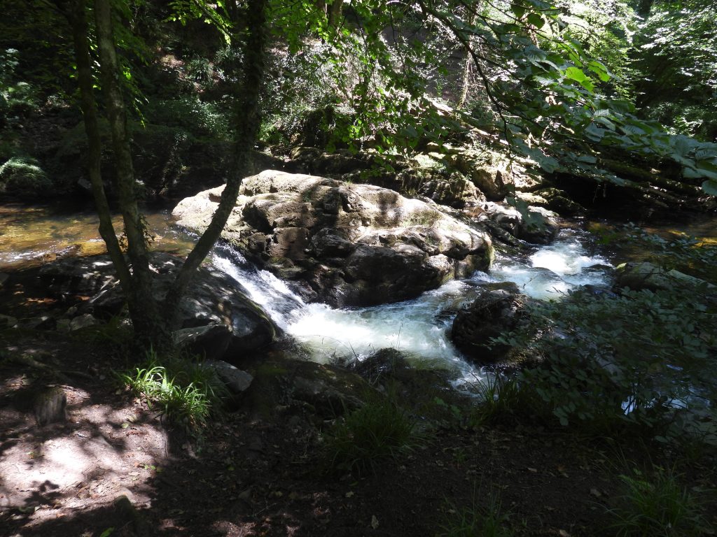
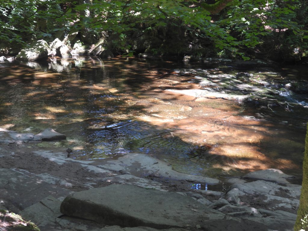
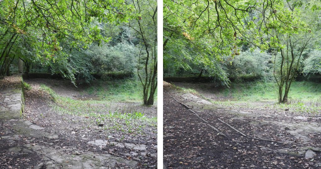
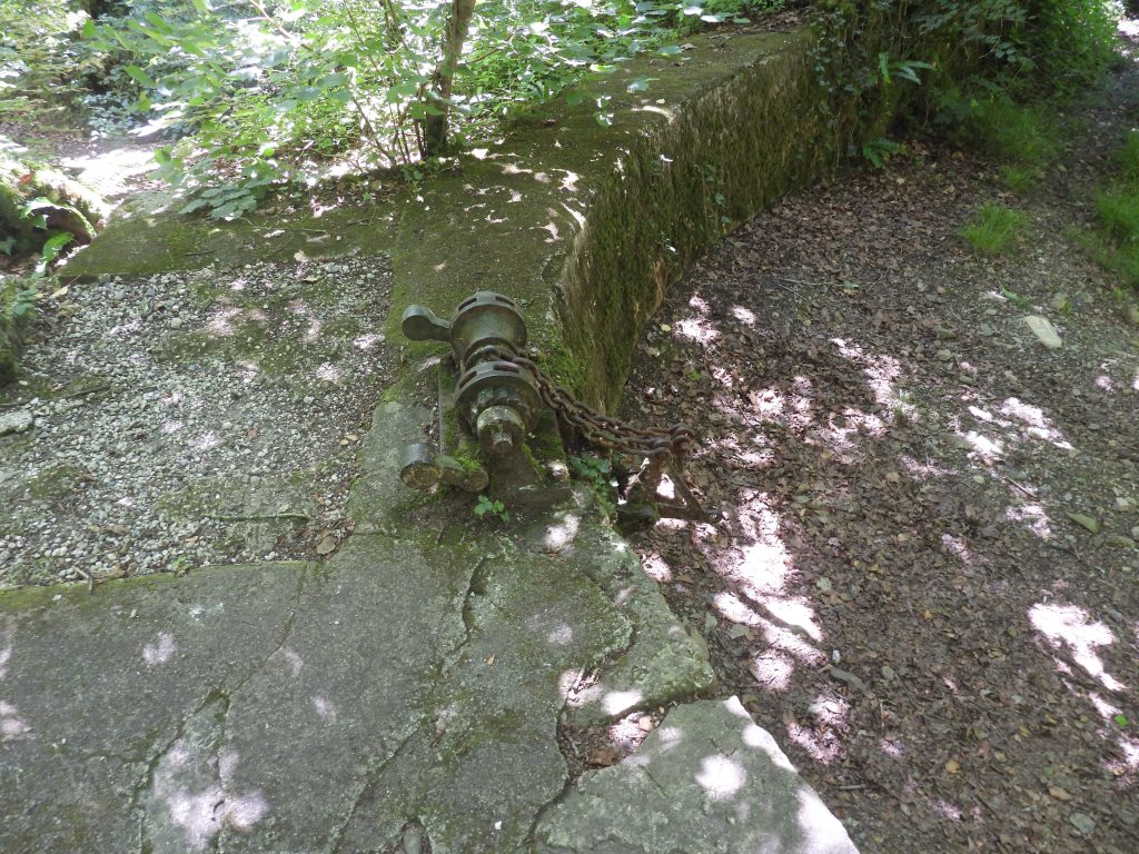
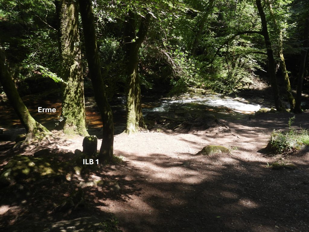
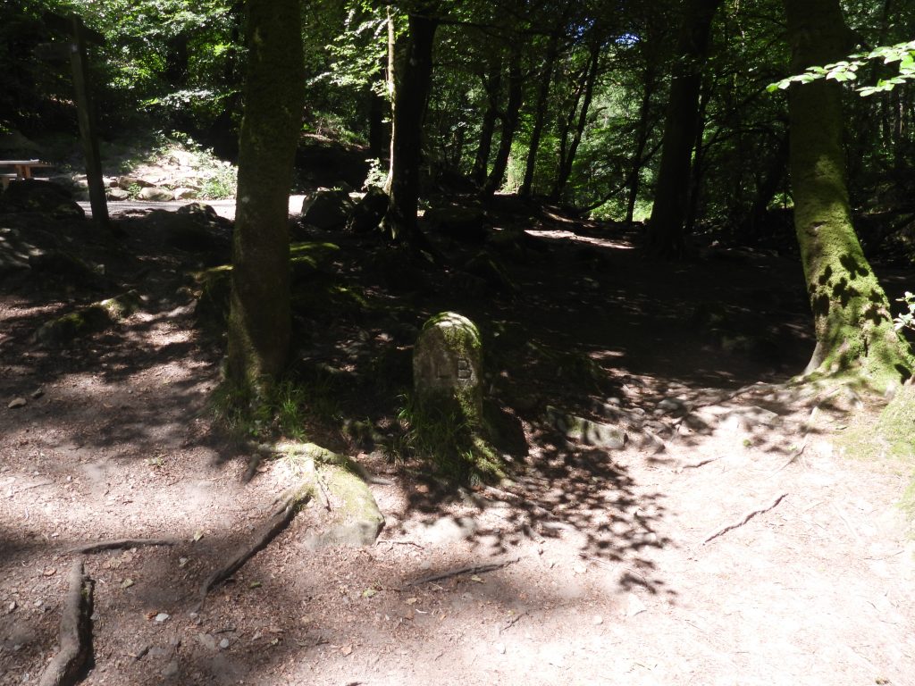
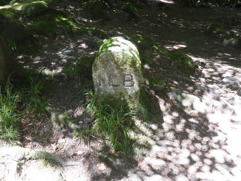
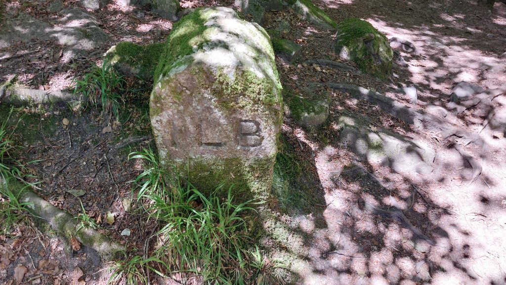
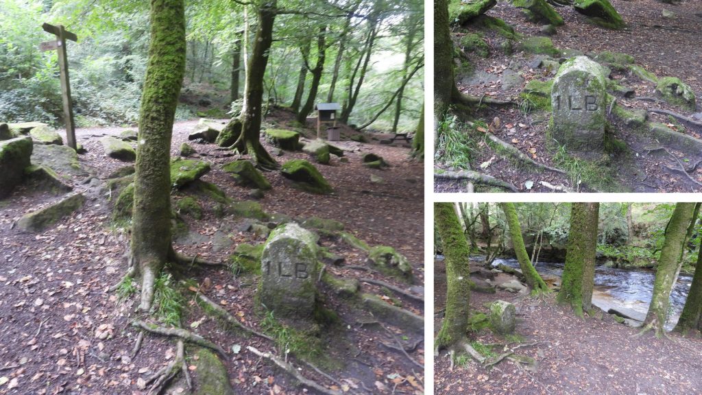
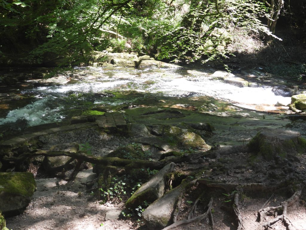
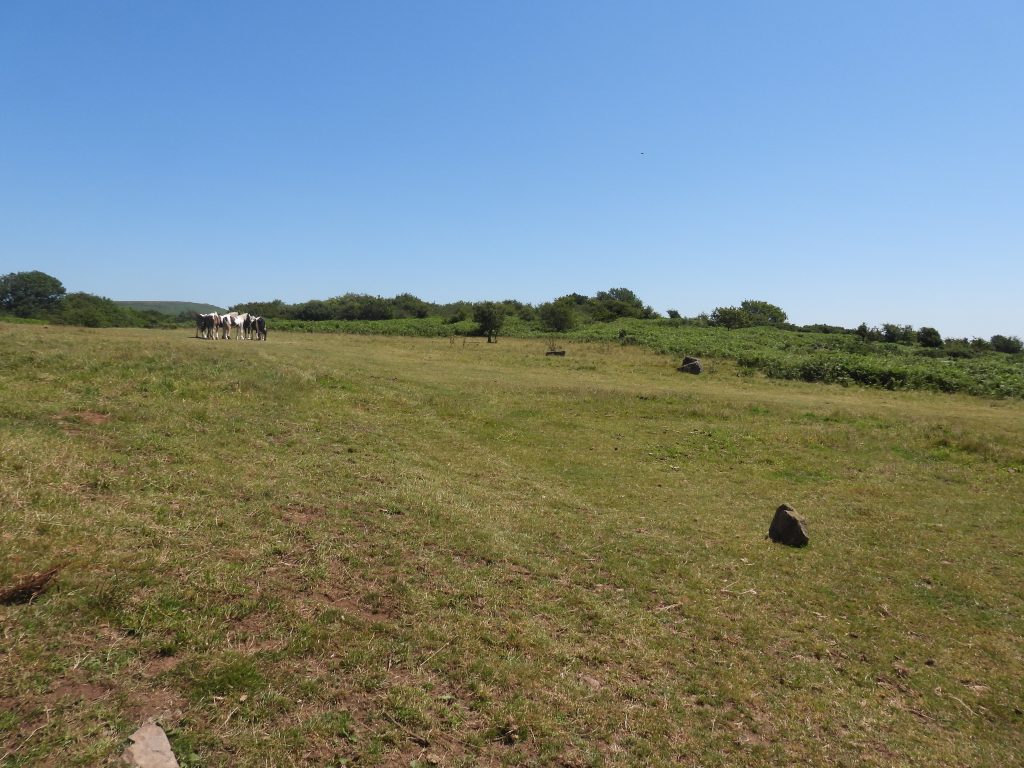
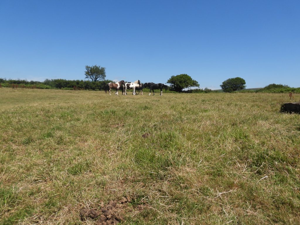
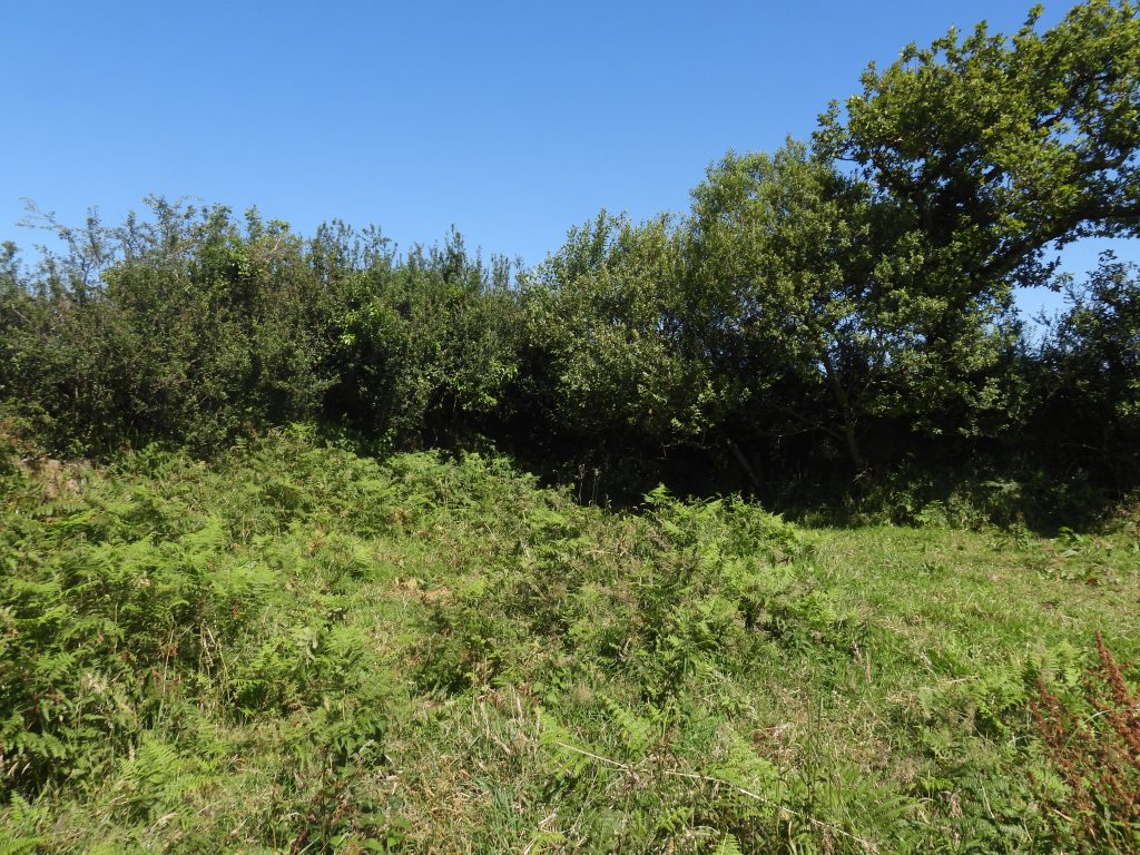
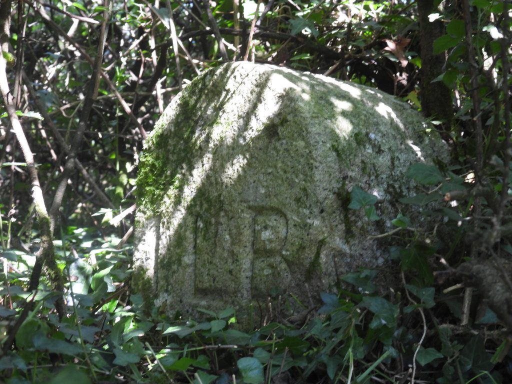
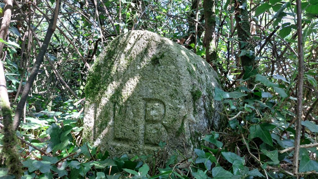
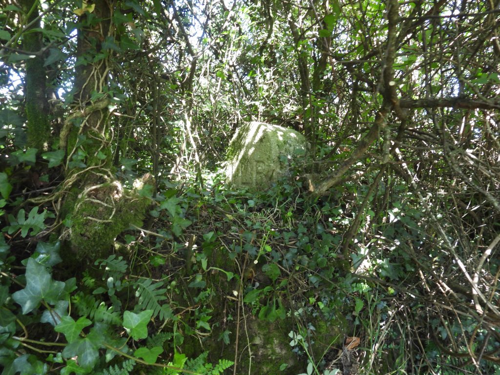
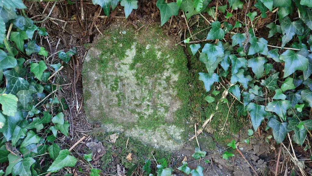
Annotated late 19th century map showing the ‘Ivy’ Bridge (17th century version) in relation to London Hotel where the pre-cursor Inquiry for the Ivybridge Local Board was held in October 1870The ‘Ivy Bridge’ in the 21st Century with the ‘London Hotel’ (cream building) beyondThe “Ivy Bridge” was built in 17th Century on the site of an earlier bridge and carried the main Exeter to Plymouth road until the construction of the lower bridge in 1825. The river Erme is a parish boundary here and at each end of the old Ivy Bridge, against the southern parapets, are two boundstones. The parish boundary stone on the west side of the bridge and is inscribed “Ermington” and on the east side of the bridge is inscribed “Ugborough”. The bridge marks the start / finish of the Dartmoor WayDown stream view of the Ivy-BridgeThe Ivy-Bridge with the current building which was once the location for the London Hotel where the inquiry about local sewage was held on 24th October 1870. The London Hotel is now known as London CourtLeaving the town to visit ILB 1 in Longtimber Woods. The path leads under Railway viaduct(s) – the original viaduct was built by Brunel circa 1849 and had timber on stone piers. The present stone structure dates from 1893.A typical Erme cascade in Longtimber Woods A more shallow area of the Erme in Longtimber WoodsThe ‘swimming pool’ was originally a reservoir supplying clean water to the residents of Ivybridge. It was constructed during 1873-74 at the request of the Ivybridge Local Board of Health. It is identified as a reservoir on late 19th century maps. The reservoir consequentially became a swimming pool. One story regarding the pool (ref: Ivybridge Heritage website) is that : “During World War II, the American soldiers of the 116th Infantry Regiment, stationed at Uphill Camp on Exeter Road in Ivybridge, used the swimming pool for training prior to D-Day. Having upgraded the swimming pool area they erected camouflage netting which they had to climb and then, after wading through the water, continued their endurance training on Dartmoor”. The troops also imported sand in to form a beach. They were said to have taught local children how to swimProbable winding gear and sluice associated with the reservoir / swimming pool. This is located at SX63790 57297The first ILB Boundary Stone (ILB 1) is in Longtimber Woods between the lower path and the River Erme. It is near the junction with Hunter’s Path. ILB 1 in the shadows on a bright and sunny day in July 2026The Boundary Stones are beautifully carved and inscribed and have stood the testament of time being almost 150 years old nowILB 1 is located at SX63628 57471Photograph collage from October 2023. The dull conditions enabling the stone to be photographed without the light / dark contrastAn unknown construction by the river a few metres from ILB 1To get to ILB 2 from ILB 1, there is a more or less direct route onto Henlake Down using first the Hunter’s Path and then (after crossing the Longtimber Woods ‘upper path’) continuing west through the trees. Henlake Down poniesIn the north west corner of Henlake Down under a canopy of trees, the second Ivybridge Local Board stone (ILB 2) can be located. ILB 2 is located on top of a bankOne wonders if ILB 2 was originally located on top of this bank as it does seem an unusual place to locate it and half of the stone is buried. Of course, circa 1873, there wasn’t the same vegetation around and placing it here would have made it quite prominent The author snipped away a bit of the vegetation to get a clearer photograph. That said, as the picture was taken in July 2026, it is doubtful whether the stone has ever been so engulfed in vegetation that it couldn’t be found
ILB 2 is located at SX62878 57342
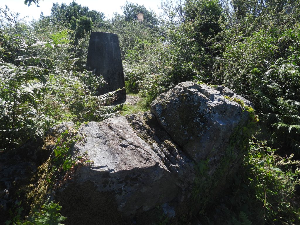
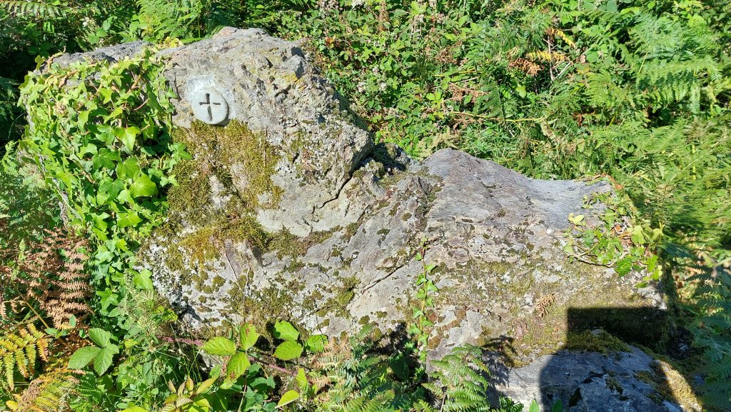
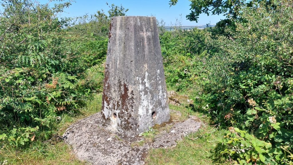
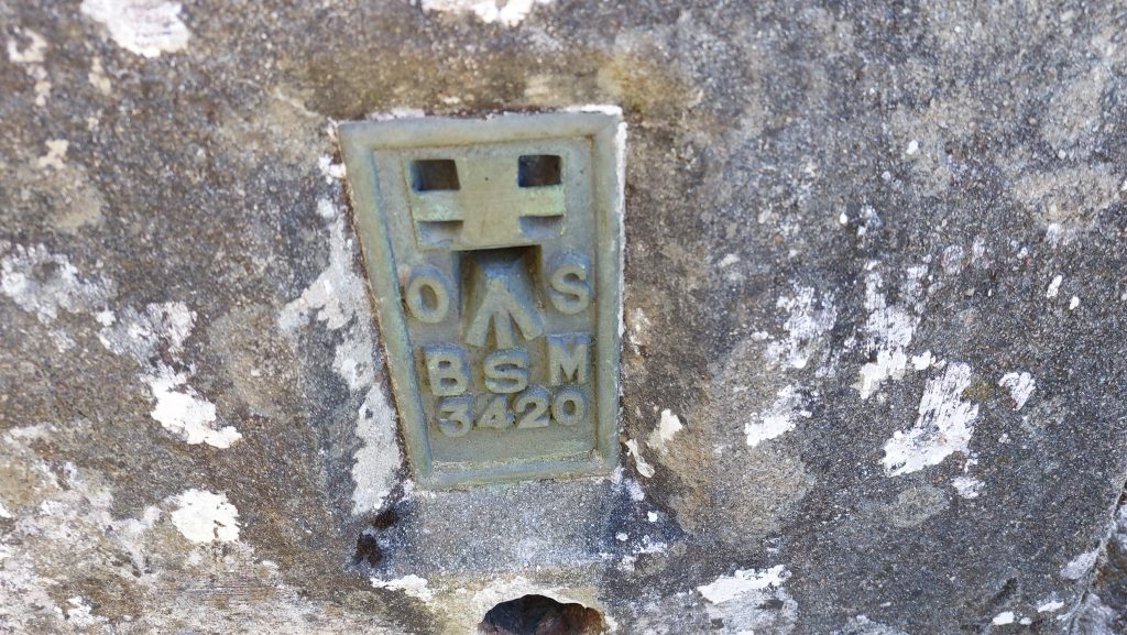
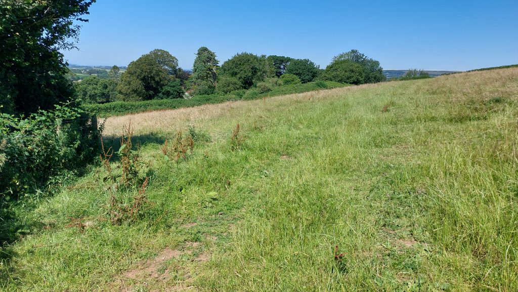
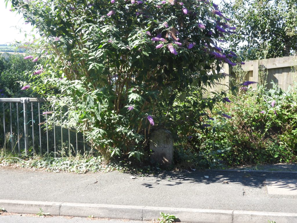
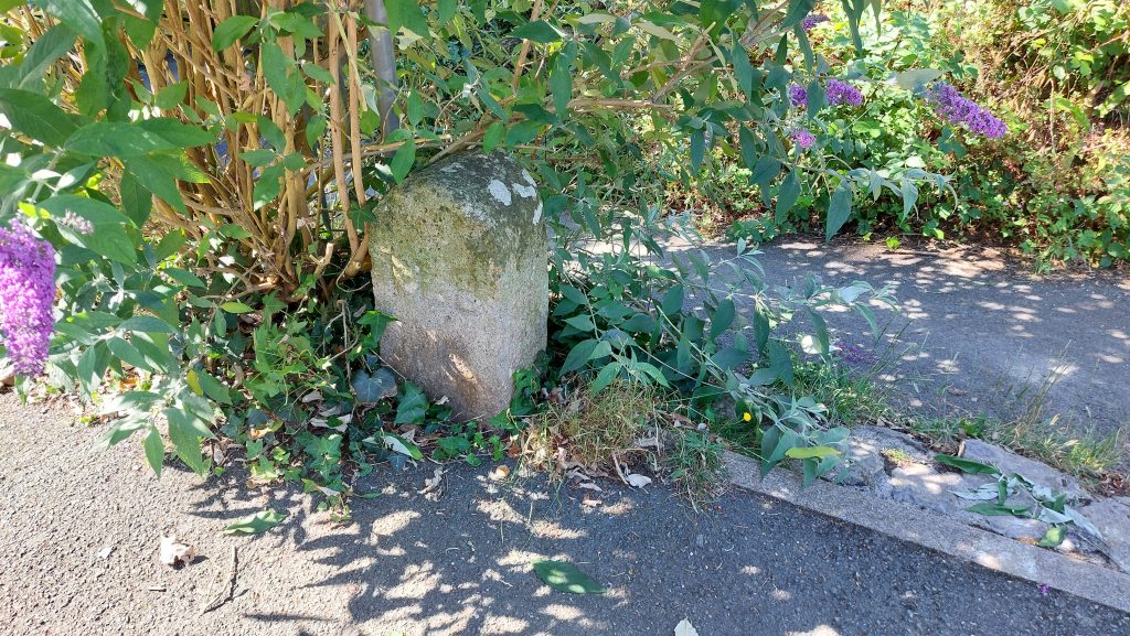
Before leaving the area, also, of interest on Henlake Down is the Trig Pillar, which is located next to a couple of large rocks. It has been surveyed as being at 212.591m above sea levelFor some reason, there is a cross made from some kind of resin material which has been placed on the rocks here. The author has found several of these (including at Three Barrows and on the Stone Crusher on Redlake Tramway). The significance is unknown, however, this modern intrusion is in the authors opinion, unwanted vandalism.Henlake Down Trig Pillar. The Trig Pillar was first used in the retriangulation of Great Britain on 18th April 1936, with the last one constructed in 1962 (there were over 6500 constructed). The Henlake Down Trig Pillar was constructed in 1947, levelled in 1950 and maintained in 1975. The man responsible for the trig pillar that we all recognise today was Brigadier Martin Hotine. Born in 1898 in Wandsworth, London, Hotine became head of the Trigonometrical and Levelling Division at OS. The ‘Flush Bracket’ on the side of the Trig Pillar (OS BSM 3420). The Flush Bracket metal plate with its serial number, was a reference point for levelling and attachment holes were used for surveying equipment. The bracket was used for levelling but had no relevance to Triangulation processThe route off Henlake Down from the location of ILB 2 to ILB 3 is via a footpath, which passes by Langham Hill (a dwelling), which can be just seen in the trees in this photograph. In the field shown in the photograph there is the site of an old well (not accessible as on private land)Ivybridge Local Board Boundary Stone number 3 (ILB 3) can be found (semi-hidden) under a Buddleia at the junction of the top of the steps to Kennel Lane (a footpath) and Blachford RoadILB 3 – after a quick prune of the Buddleia All the Boundary Stones (Brewer) are said to be between 12″ and 15″ tallAll stones are of the same design and are not individually inscribed with numbers just ‘ILB’
ILB 3 is located at SX62657 56644
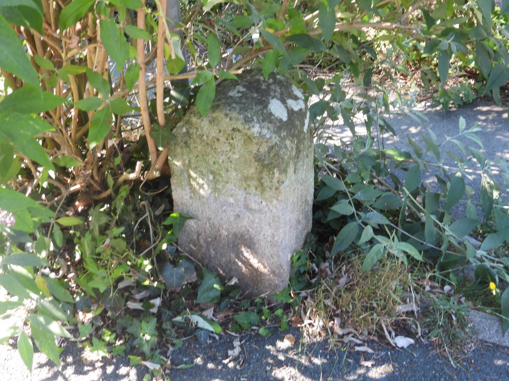
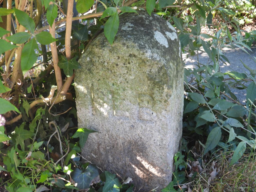
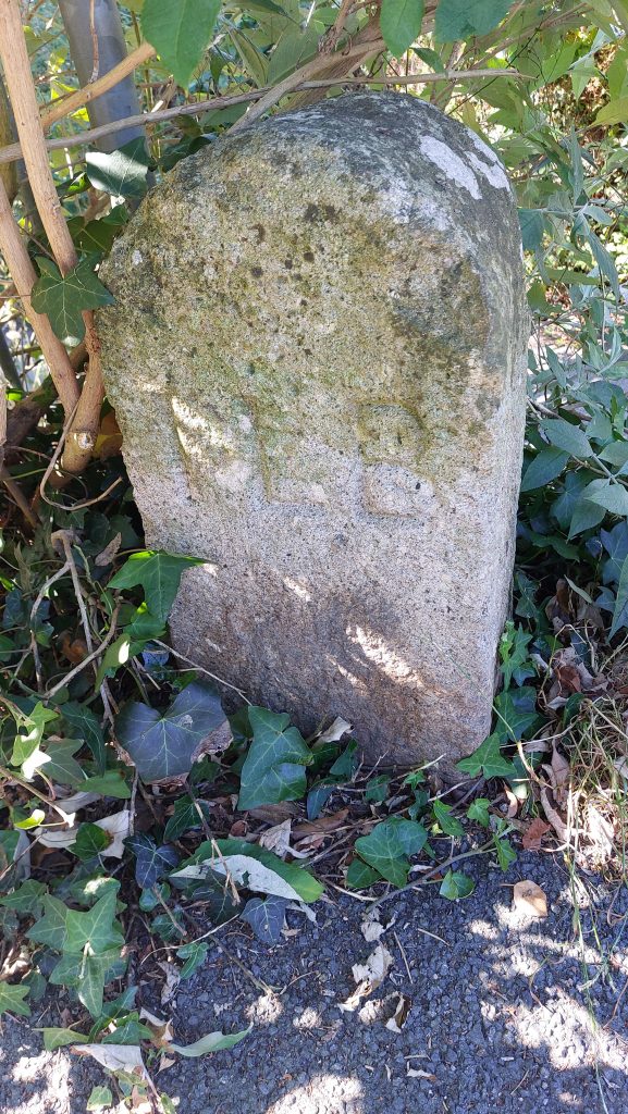
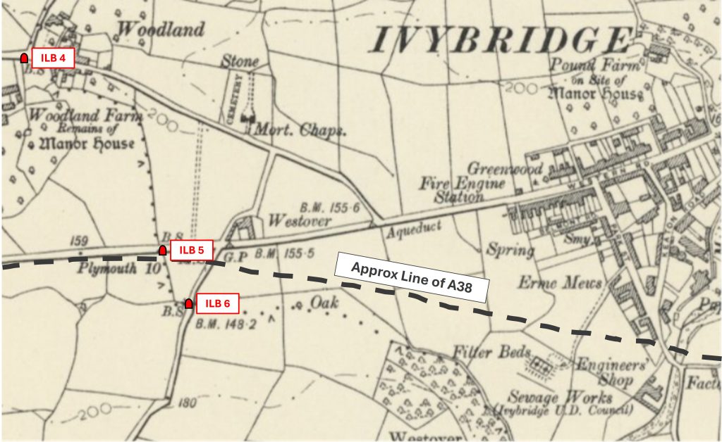
The locations of Ivybridge Local Board Boundary Stones 4, 5 and 6. ILB 4 is on the Cornwood Road, near Woodland; ILB 5 is on the old road into Ivybridge and ILB 6 is near Westlake Lane, being adjacent to the entrance to the Garden Centre at Endsleigh. If anyone reading this post knows if these stones still exist (or indeed if there locations have been correctly identified), the author would be grateful in hearing from them
ILB 7 – This stone was reported missing in 1996. Ten years later, in 2016, the Ivybridge Heritage & Archive Group in 2016 coordinated the retrieval of the stone which was spotted in the river by Erme Playing Fields. The stone was repositioned in more or less its original spot
ILB 7 is located at SX63145 55526
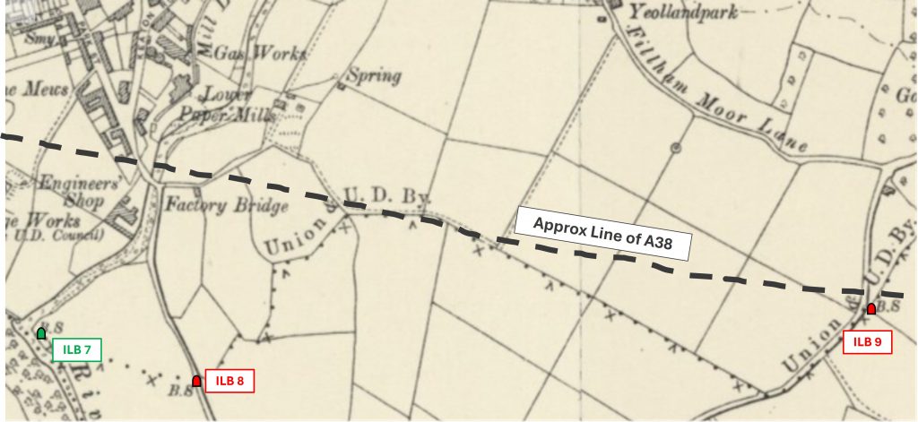
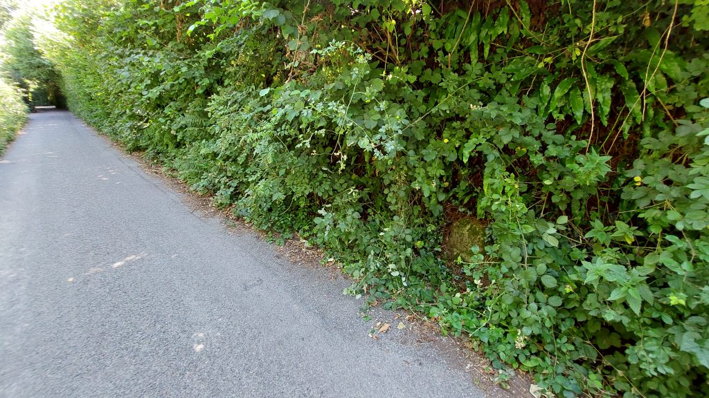
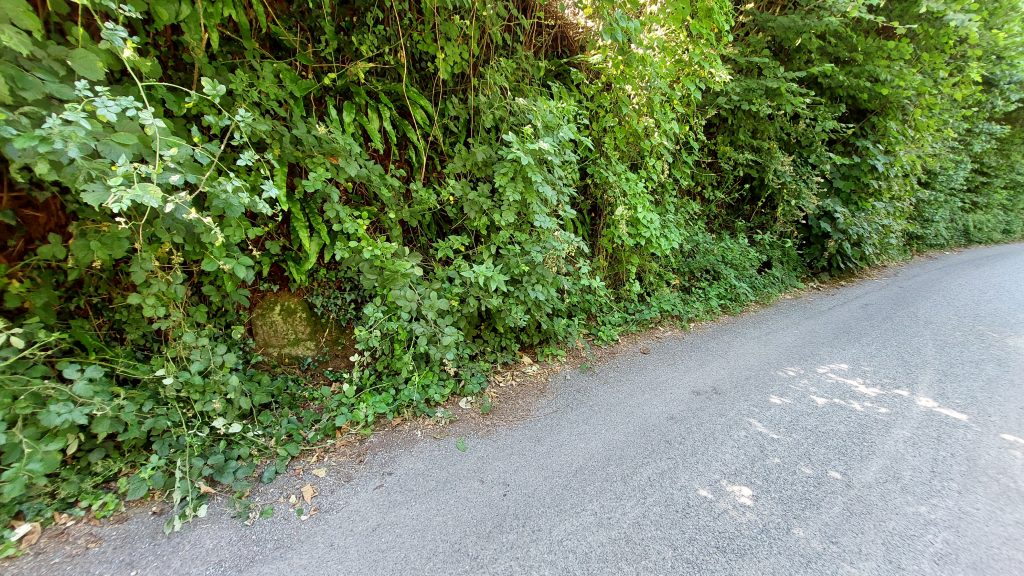
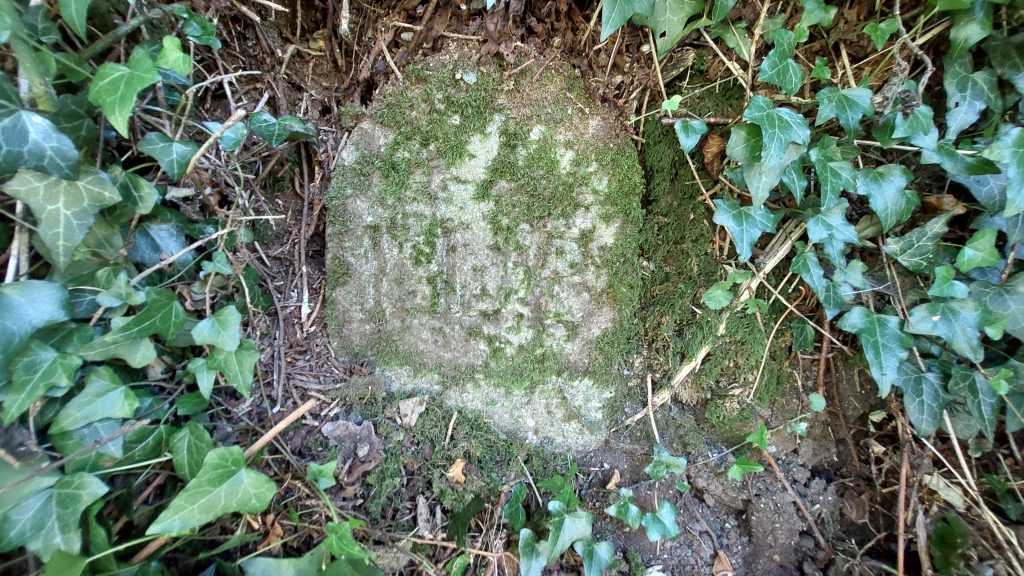
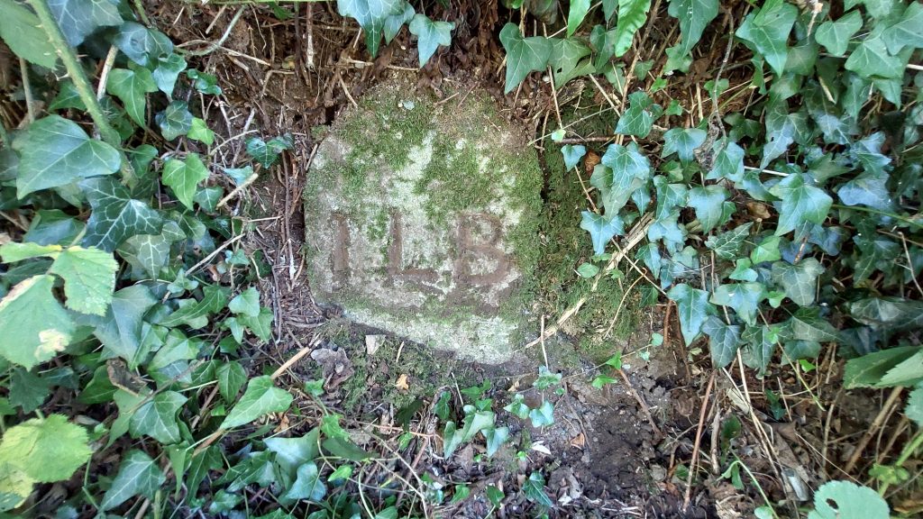
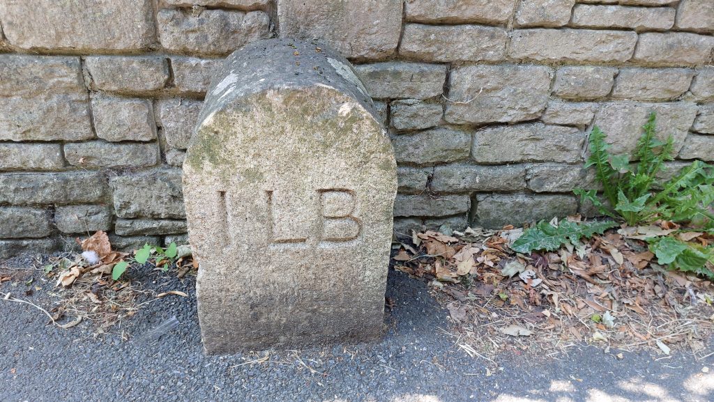
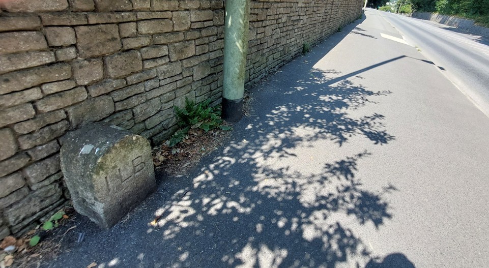
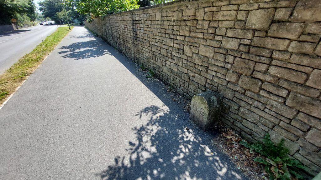
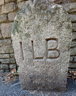
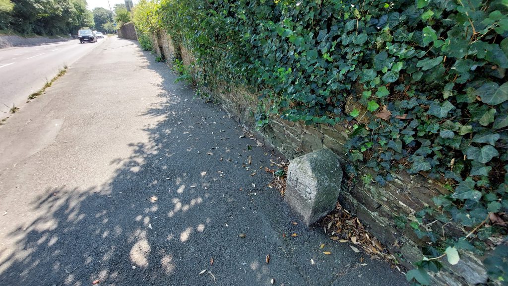
The position of ILB Boundary Stones 7-9. ILB 7 being at the corner of Erme Playing Fields. ILB 8 and ILB 9 are missing, the latter most probably as a result of the construction of the A38 (Devon Expressway). Godwell Lane is the location of ILB 10. It is partially let into the stone bank on the east of the lane.Contextual view of ILB 10, which is located in the east bank/hedgerow in Godwell LaneAnother contextual view of ILB 10ILB 10 is located at SX64556 55805ILB 10 with a small amount of mud added to enhance the inscription for the photographILB 11 Boundary Stone was lifted (to get it more exposed from the tarmac) and cleaned on 16th August 2016 by the DCC Ivybridge Neighbourhood TeamContextual view of ILB 11 looking west along old Exeter Road in the direction of the townContextual view of ILB 11 looking east along old Exeter Road in the direction of Bittaford
ILB 11 is located at SX64322 56258
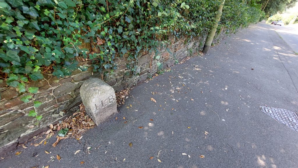
ILB 12 is around 80 metres west of ILB 11 towards the town centreILB 12 Boundary Stone was lifted (to get it more exposed from the tarmac) and cleaned on 16th August 2016 by the DCC Ivybridge Neighbourhood TeamContextual view of ILB 12 looking east in the direction of BittafordILB 12 contextual view looking in the direction of the town centre
ILB 12 close up. The Boundary Stone is located at SX64242 56280
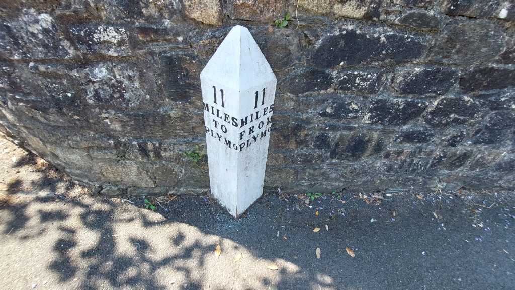
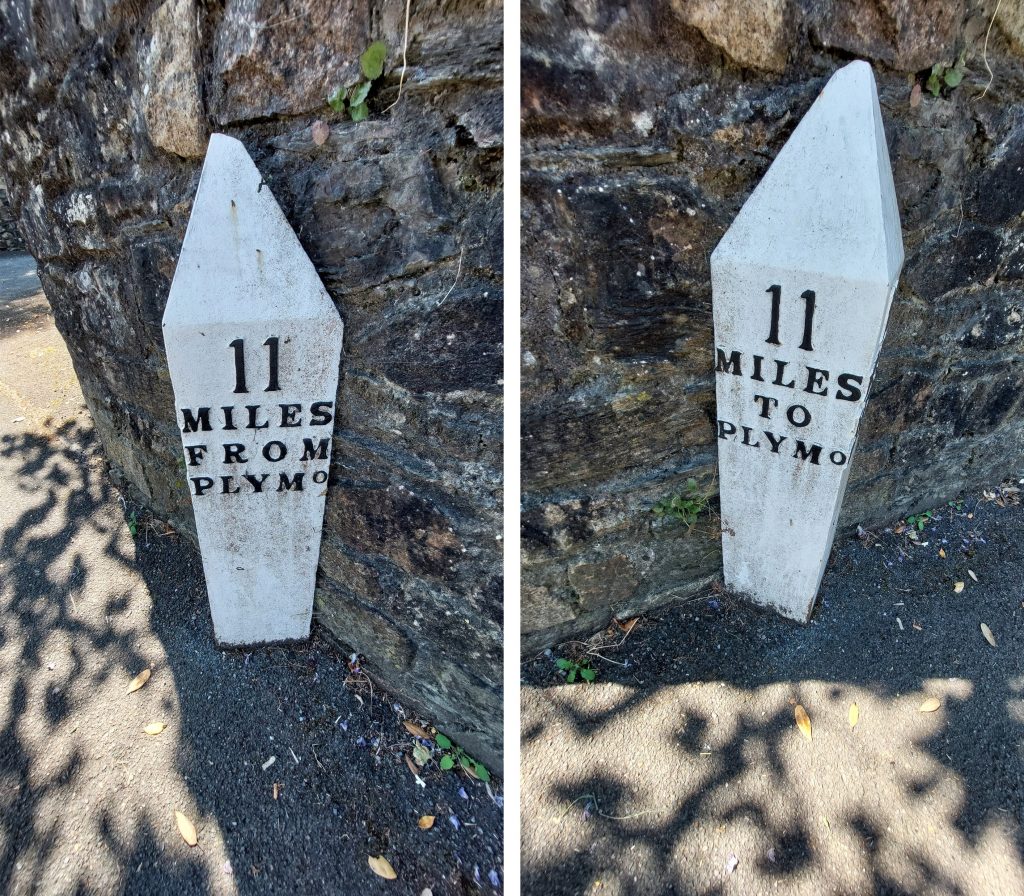
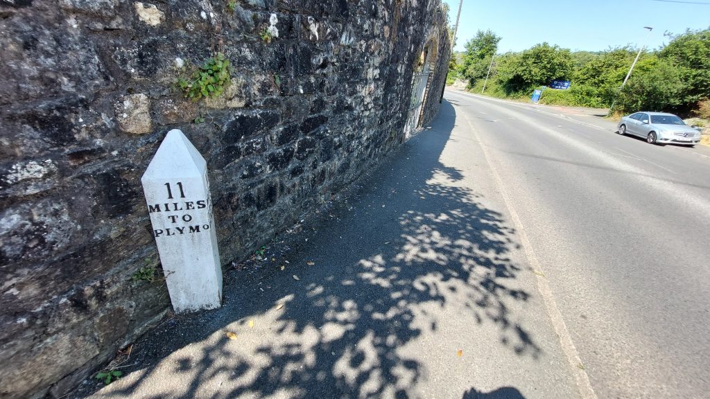
This cast iron mile post was erected circa 1820 (ref: Jenkinson) and is on the south side of Exeter RoadThe inscriptions on the mile post are in raised black letters on a white background and read: ’11/Miles/from/Plymo‘ on one side and ’11/Miles/to/Plymo‘ on the other side.The mile post is located at SX64136 56315