A collection of walks, discoveries, insights and pictures of exploring Dartmoor National Park
February 23, 2020
Red lake clay workings – cantrell processing plant, the incline plane, clay pipeline & the locomotive sheds
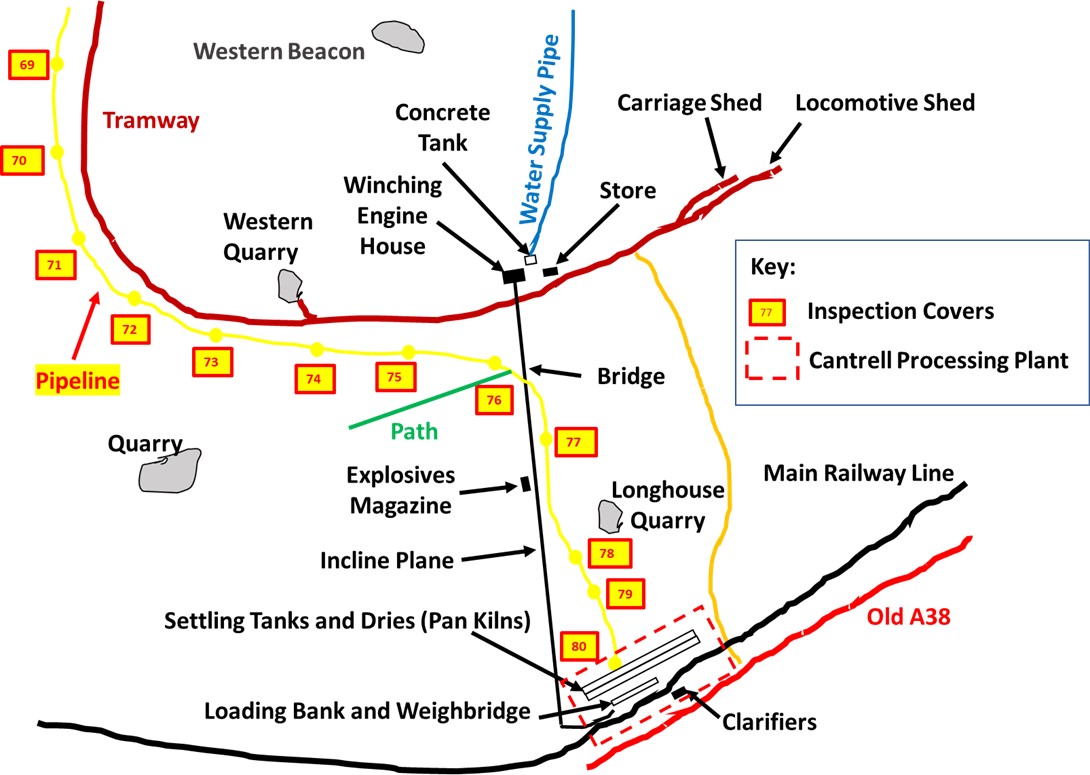
This post provides some detail and photographs of the Cantrell clay processing plant for the Red Lake (and Leftlake) clay workings, the incline plane (which fed the main tramway), the start of the tramway with its locomotive / carriage sheds and the end of the clay pipeline which was gravity fed from the clay workings up to 8 miles distant.
Due reference and gratitude must be made to the excellent EA Wade publications (1982 and 2004) “The Red Lake Tramway and China Clay Works”, without which much of the history of this fascinating piece of Dartmoor Industrial Archaeology might have been lost. The aim of the post is not to regurgitate the information in the book, but hopefully bring the history to life in a series of photographs. The day the photographs were taken was a typical rainy and dull day.
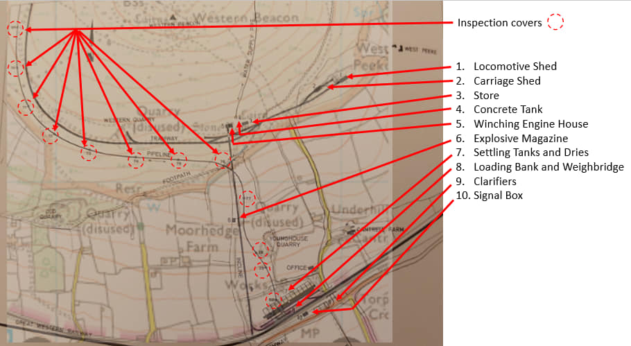
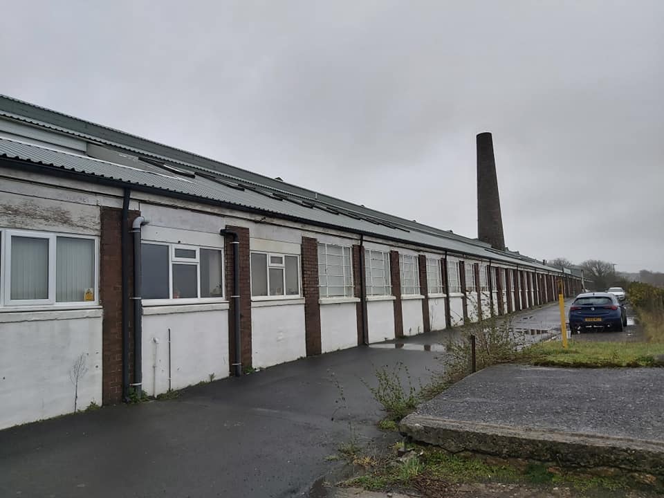
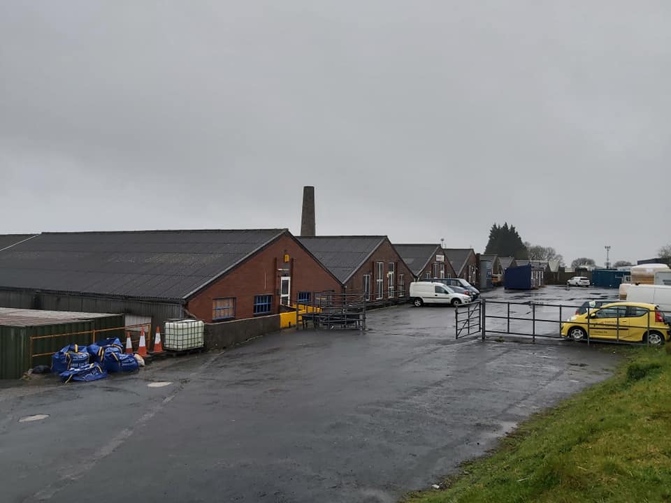
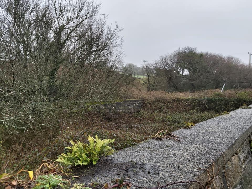
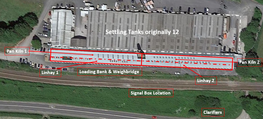
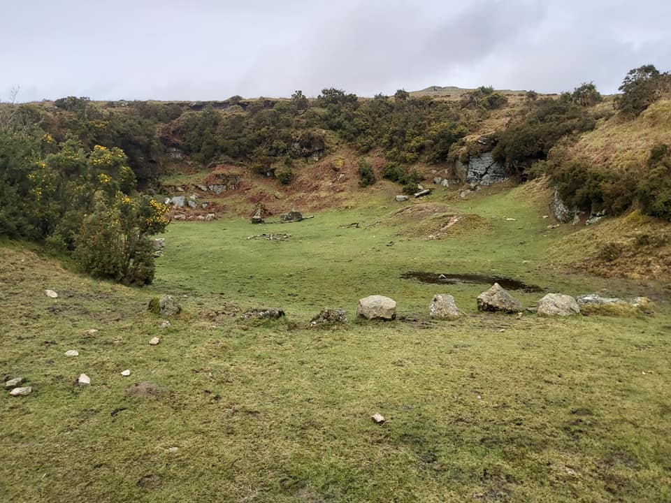
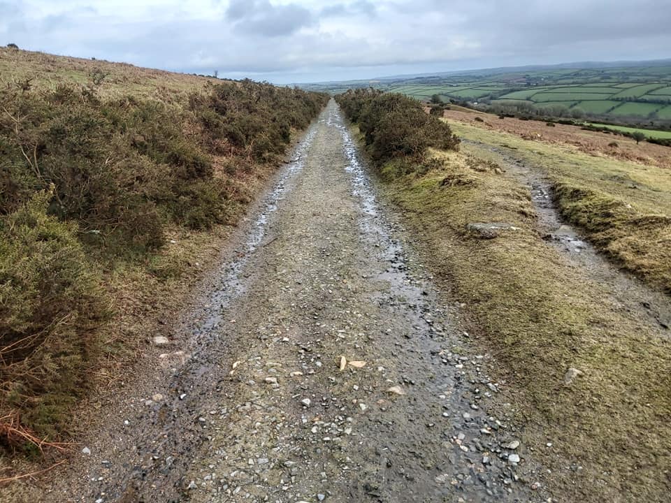
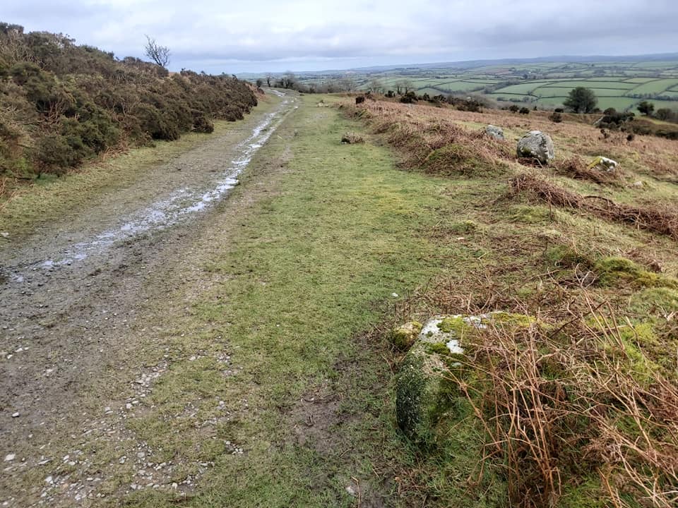
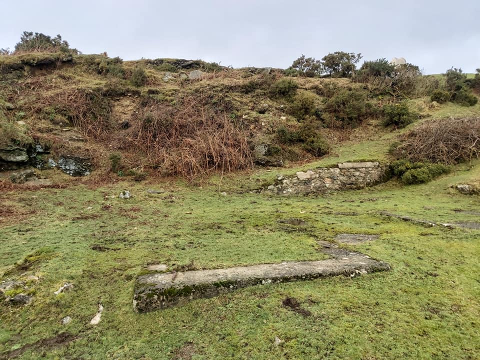
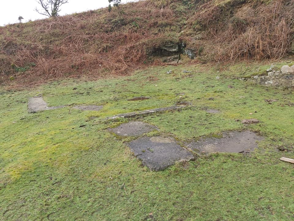
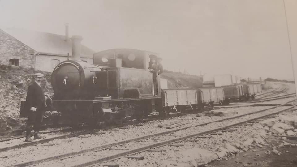
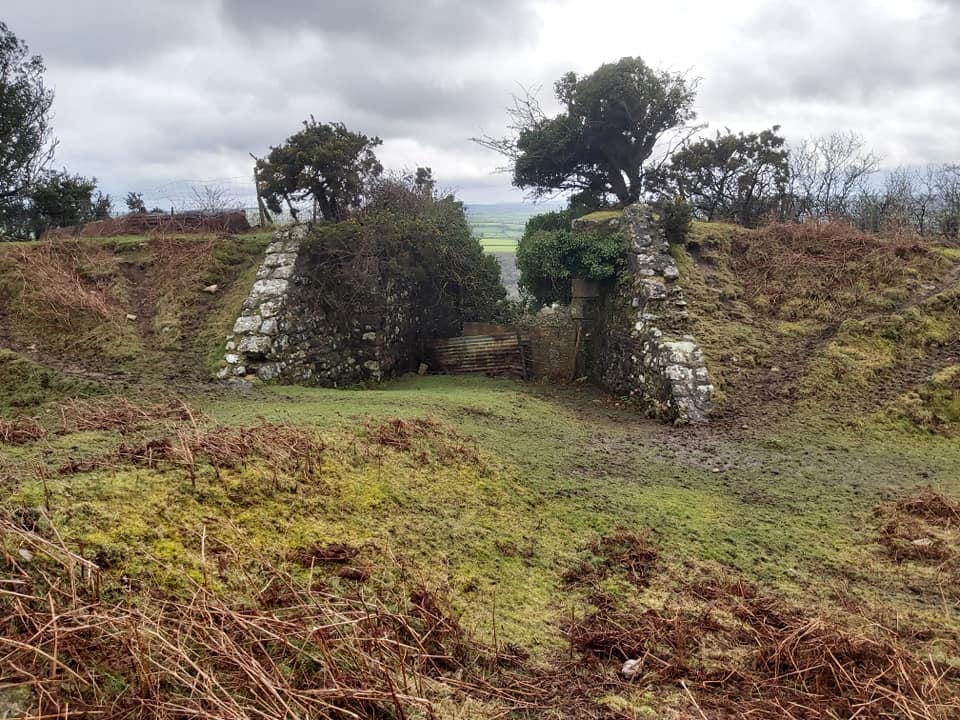
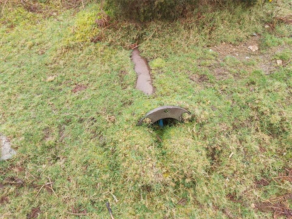
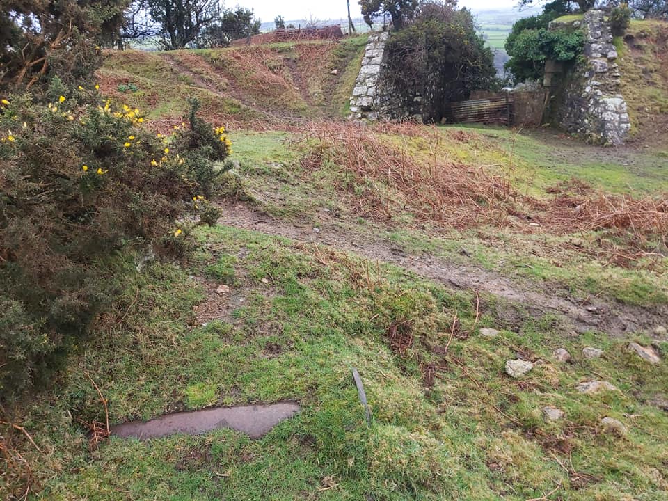
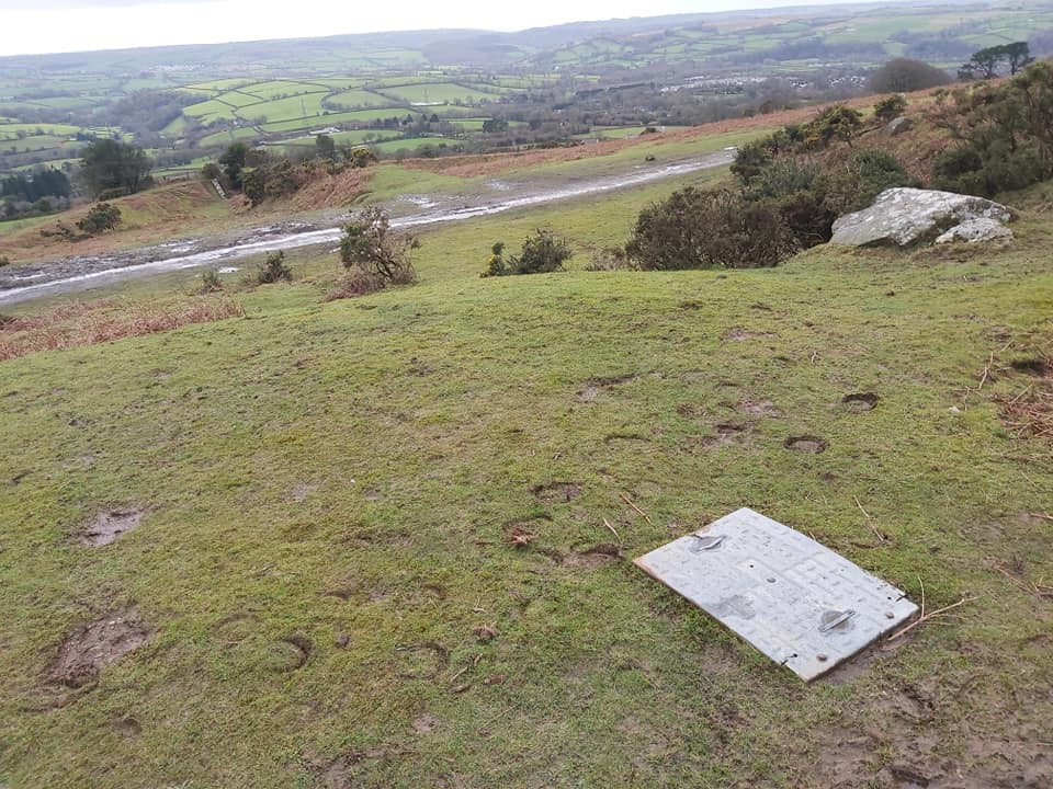
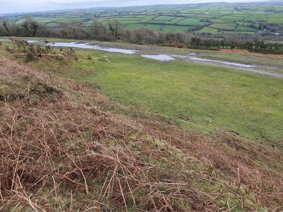
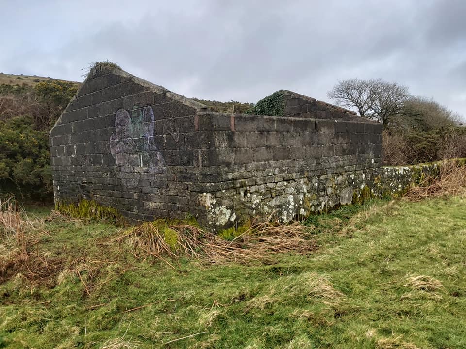
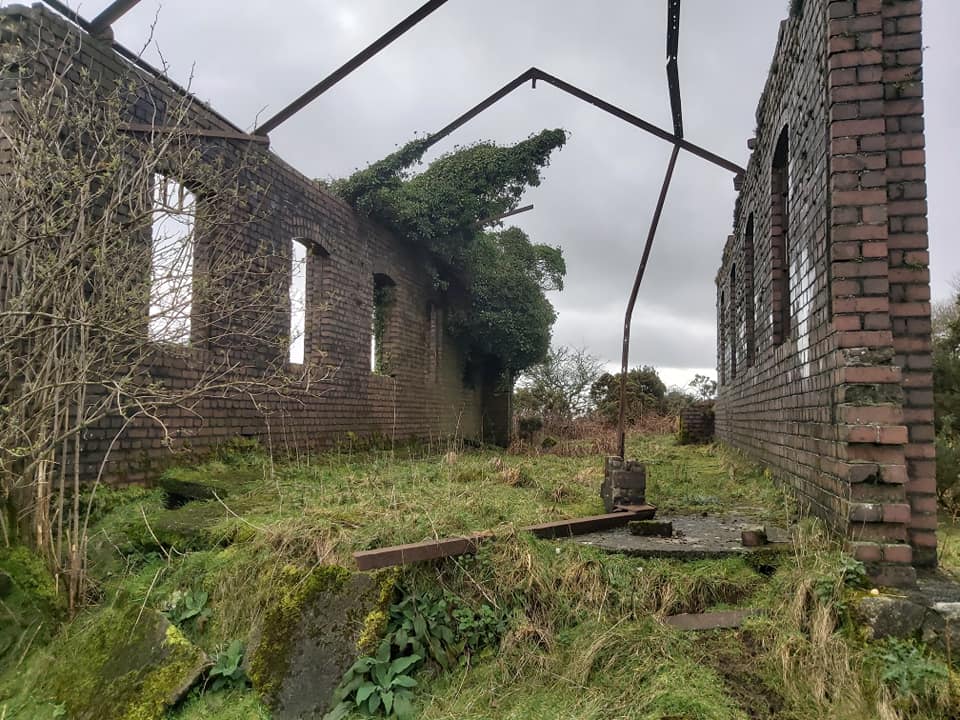
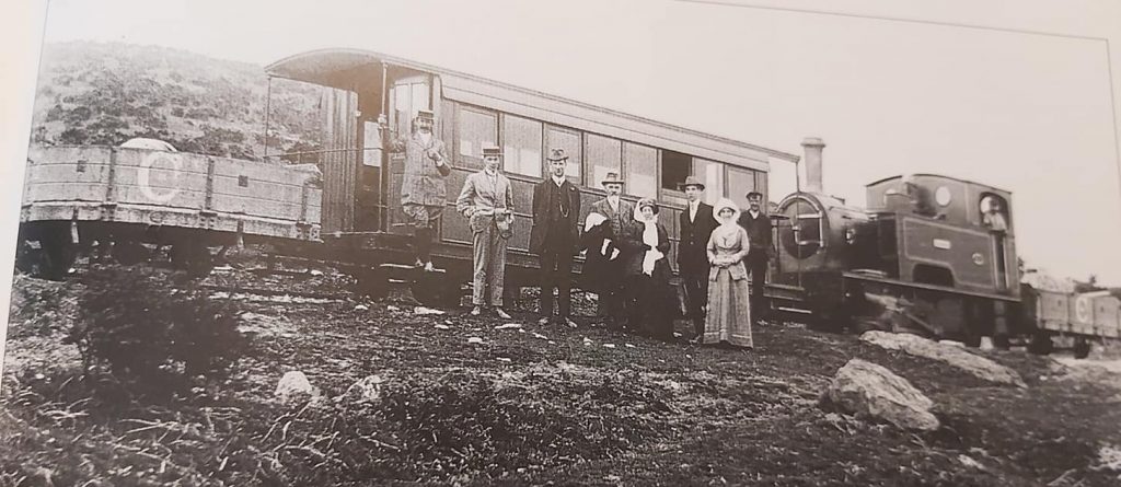
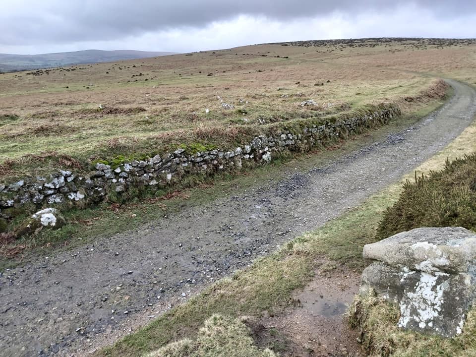
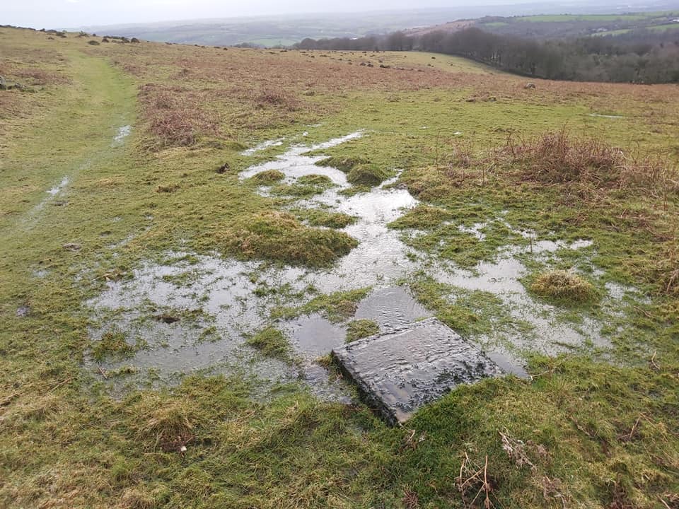
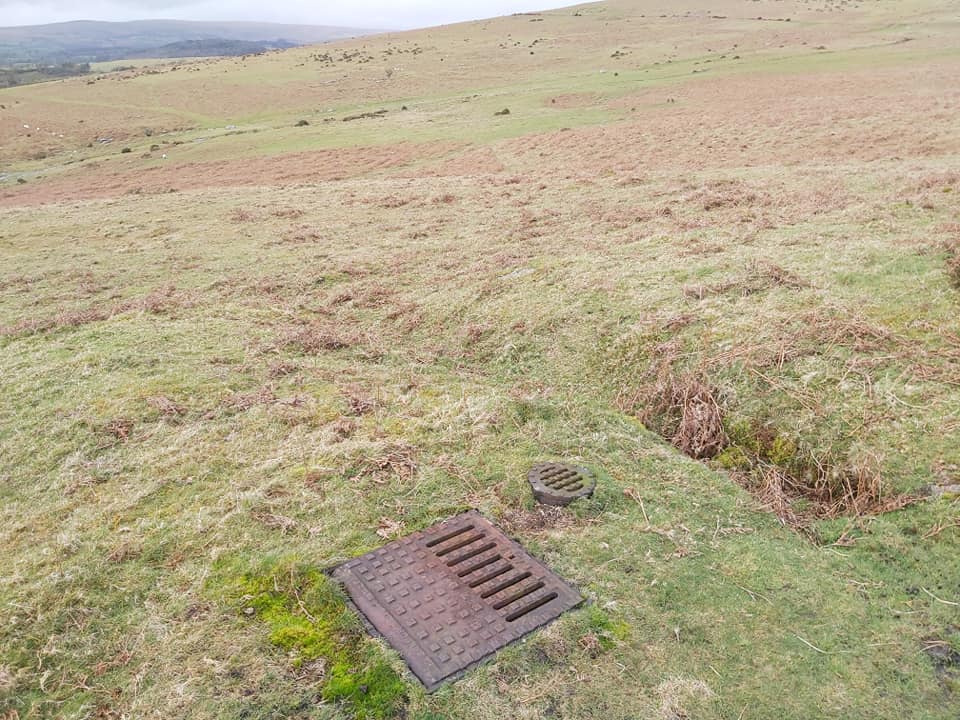
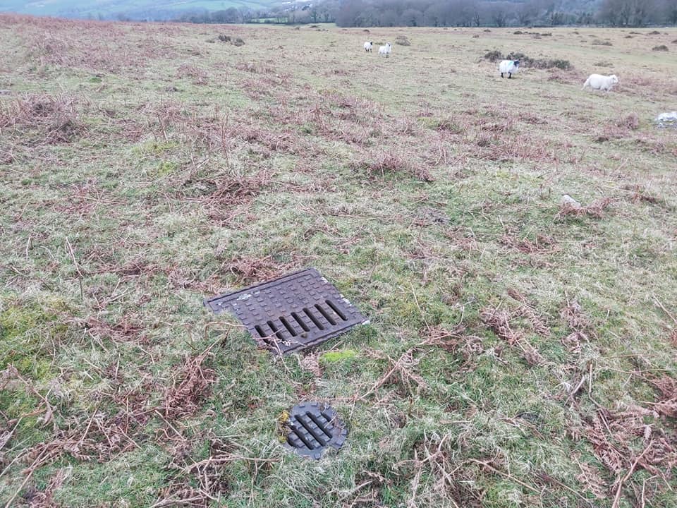
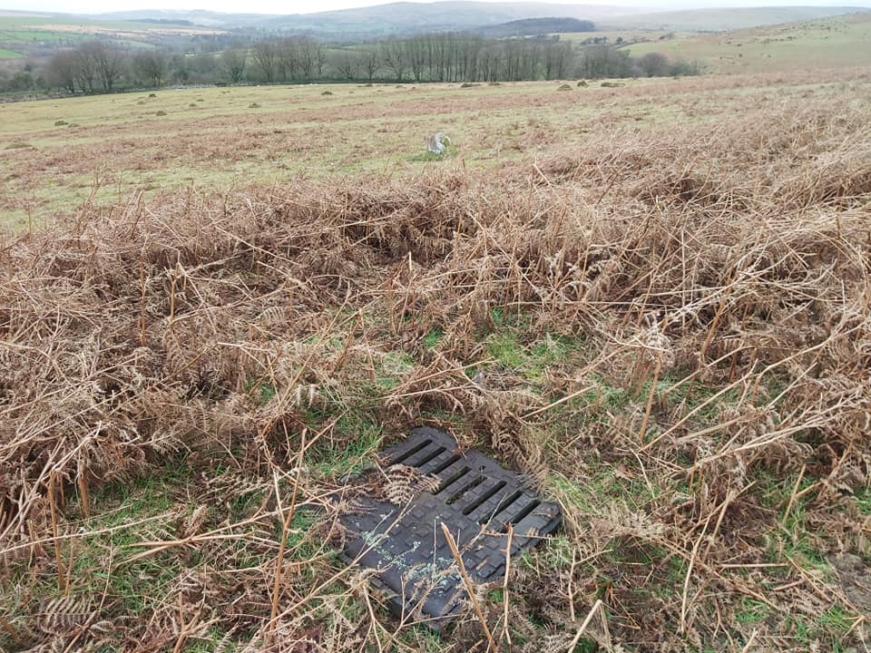
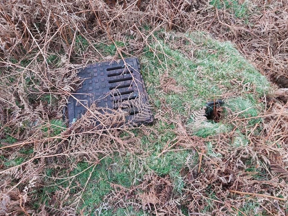
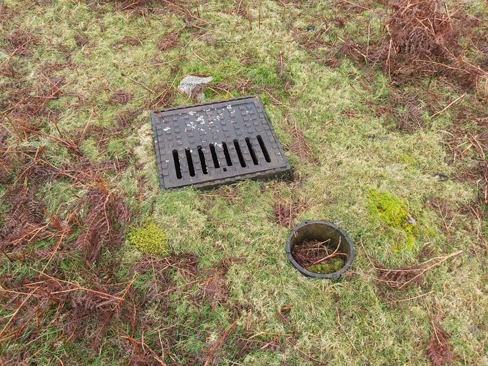
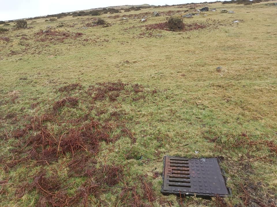
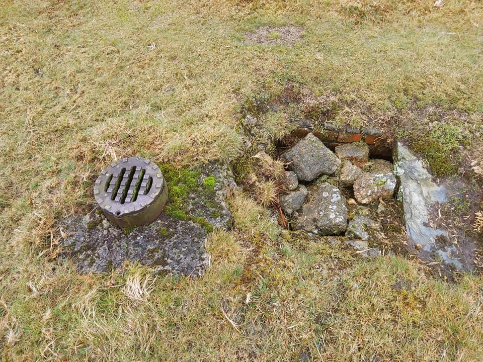
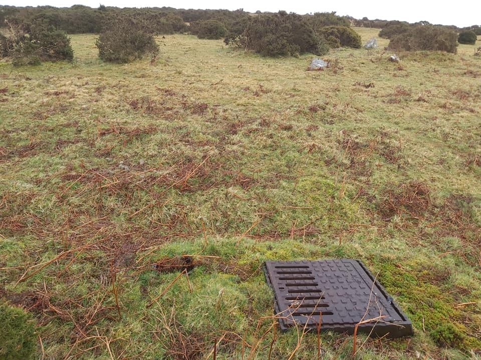
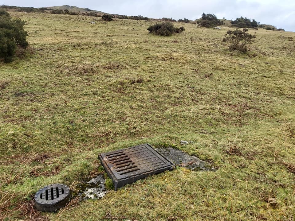
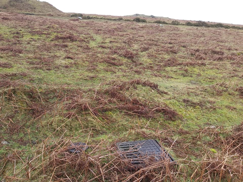
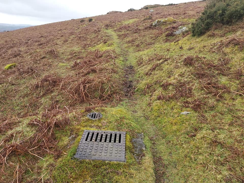
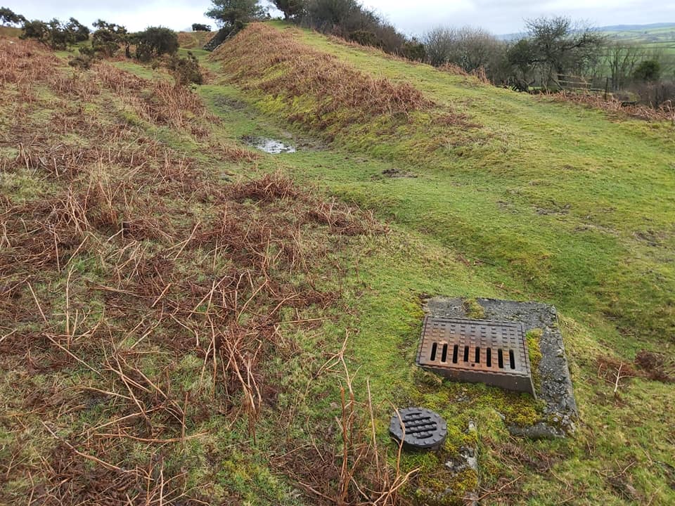
Sketch map of the features covered in this post.The overlay map created of the key points of interest. NOTE: access to the incline plane isn’t possibleFrontage of the old China Clay processing plant. This frontage shows the Linhays on the left and the loading bay next to the railway line on the right.The back of the processing plant. Each of the red bricked gable ended buildings was a settling pit (apparently 114′ x 43′ x 8′ deep)The clarifiers. I think this was the final stage of water filtering before waste water was piped back into the Lud Brook, near Torpeek to the south. SX65949 56570, next to the road between Ivybridge and BittafordThis aerial view shows the 12 settling tanks, which fed two pan kiln dries (coal fired hence the 100′ chimney). The clay was, in turn then hand shovelled into the two linhays for bagging. Then onto the loading bank and away by rail. My overlay is an interpretation from the Wade books.Now onto the Moor. This is the Western Quarry at SX65235 57141. This is where the ballast for the track and embankments came from. Apparently all distances were measured from the locomotive shed, and this quarry is 41 chains up the track (there are 80 chains to the mile).Looking down the track (east) from near the quarry.Heading towards the incline plain (just visible on the right)Location of the winding engine house just above the incline planeWinding engine house at SX65629 57150Engine (CA Hanson, named after one of the original shareholders) outside the winding engine house. The store can just be see behind the trucks.Top of the incline plain SX65634 57059 leading down to the Cantrell processing plant. Wagons of coal and material were hauled up here but not clay, which had it’s own pipeline all the way from Red Lake and Leftlake.Old pipe near top of the incline.It was a mystery as to why this bridge was built. It carried an old path to a quarry located to the west. The embankments and bridge, on the face of it don’t seem necessary. It is assumed that trackway to the quarry was still in use when this embankment was built.Just above the winding engine house at SX65639 57165 is a concrete tank. I hit the lid with my walking pole and the echo back suggested it was quite large. The tank was used as a reservoir for water brought to this location via a pipe from Lud Brook to the north east.Just below the concrete tank and along from the engine winding house are the foundations for the store. SX65664 57147The carriage shed. SX65931 57301. The low walls are the original building but it is believed the more “modern” light weight concrete blocks were an addition to convert this into a pig sty.The locomotive shed. SX65990 57354. There were three locomotives which one time or another operated on the line (CA Hanson, Dartmoor and Lady Mallaby Deeley).Line opening day, 11th September 1911, albeit the line wasn’t fully completed until months later. Hansford Worth is next to the lady in the centre.This cutting is at 1 mile, 25 chains. Interestingly, if you look on any Railway Bridge in England, you will see a distance marked in miles and chains, which is usually the distance to London.There were 80 inspection points along the twin stonesware pipeline (roughly one every tenth of a mile). This one is number 64 at SX65083 58284. The clay was gravity fed and had the consistency of cream. The pipes were flushed out before the clay was sent down the pipe. Inspection point 65 at SX65014 58155. Apparently, when initially commissioned it was found that surface water percolated into the pipe and joints had to be improved, delaying things somewhat. Richard Hansford-Worth was in charge of the construction and was dismissed because of this as he has personally supervised the pipeline contract.Inspection point 66 at SX64948 58018Inspection point 67 at SX64905 57871Inspection point 68 at SX64895 57720Inspection point 69 at SX64859 57575Inspection point 70 at SX64839 57424Inspection point 71 at SX64899 57290Inspection point 72 at SX64997 57176Inspection point 73 at SX65132 57102Inspection point 74 at SX65282 57091Inspection point 75 at SX65431 57082Inspection point 76 at SX65580 57043. This is the one nearest the incline plain and most probably the last as 77-80 most likely no longer exist.