A collection of walks, discoveries, insights and pictures of exploring Dartmoor National Park
August 12, 2026
Tor Royal Estate and Farm
It was with huge gratitude that in July 2026, the author was invited by Emma Cunis (a.k.a Dartmoor’s Daughter) to join her in a walk around the Tor Royal Estate and Farm. Emma was completing her reconnoitre for a guided walk she was conducting as part of the Dartmoor Outdoor Festival in September 2026. Emma and the author had kindly been given access permission by Justine Colton.
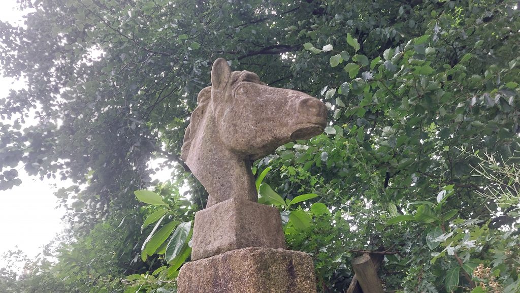
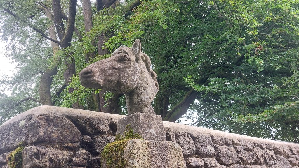
There are many very interesting features on the estate, which is not on open access land, so having the opportunity to record them was a delight for the author. These features included: a sheep leap across Devonport Leat, an embankment where the Prison Foul Leat was once directed across Devonport Leat towards the Royal Hill area, two small quarries, several Pillow Mounds and the ruins of Folly. At Tor Royal itself, aside the house itself (not visited), there are some interesting features which include two carved horse / pony heads on gate pillars and the clock tower in the main courtyard.
This post covers the features mentioned above and provides a short history of Tor Royal as gleaned through the Devon Historic Environment Record and others as identified in the bibliography below.
Bibliography
E. Berry and N. Thomas -(2010)- Tor Royal farmhouse, Princetown, Devon. Historic Building Record. (Report – Survey). SDV344858.
Royal Commission for the Historical Monuments of England(RCHME) – (1987-1993) – Duchy Farms Project Survey Visit (Report – Survey). SDV350839.
Historic England – (2018) – National Heritage List for England (National Heritage List for England). SDV360653
Eric Hemery – (1983) – High Dartmoor, pages 371-3, 382
G.W. Copeland, -(1953)- Old Houses visited in 1952 by the Plymouth Branch, 245-246 (Article in Serial). SDV224889.
Department of Environment – (1987) – Lydford (List of Blds of Arch or Historic Interest). SDV266265.
William Crossing – Crossing’s Hundred Years of Dartmoor – Plate opposite 33
Emma Cunis – (July 2026) – Pers. Conv.
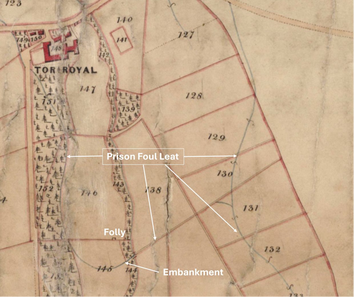
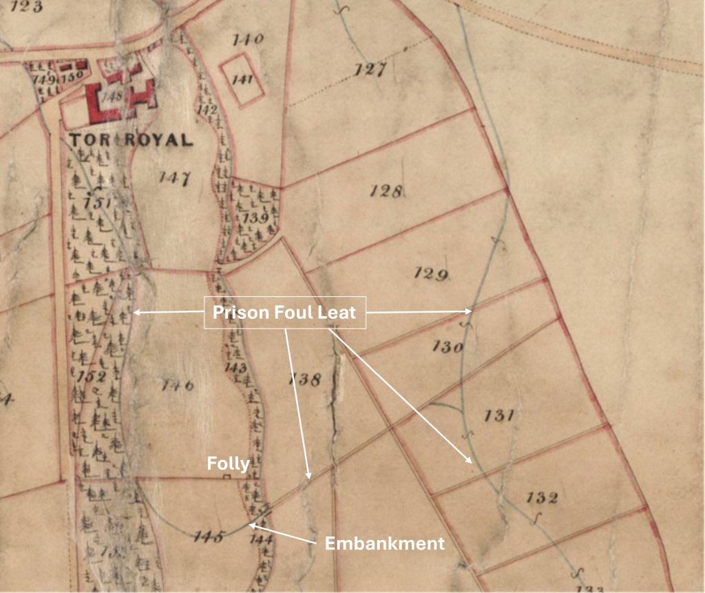
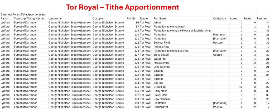
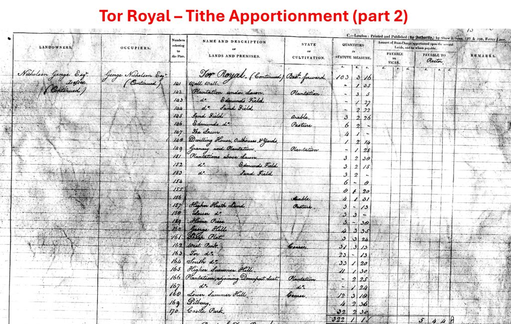
This annotated map of the Tor Royal Estate shows some of the historical ‘lost’ features which are no longer shown on modern OS Maps. One such feature is the former Prison Foul Leat which crossed Devonport Leat (via and embankment) and was directed around Royal Hill (both north and south), which was to improve the land as this area in an attempt to make it more suitable for cultivation. The other ‘lost’ feature is a small ruin, which is built against the southern wall of field 146, which the author believes is known to the current owners of Tor Royal as a ‘Folly’. Field 145 was known as ‘Sand Field’; Field 146 was known as ‘Edmunds Field’; Field 147 was known as ‘The Lawn’Part of the tithe apportionment of the Tor Royal estate. Unusually, the excel version (.csv) of the apportionment does not 100% match the tithe map, insofar as fields 145, 146 and 147 (as previously shown on the annotated map snippet in this post) are not shown. Of interest, are fields 131, 132, 133 and 134 which are described as ‘Bogland’, which in 2026 are part of the peatland restoration project.Part of the (original) tithe apportionment of the Tor Royal estate which does show fields 145, 146 and 147 plus Tor Royal (148). NOTE: For any interested reader of this post the transcribed Tithe Apportionment records for Lydford (Forest of Dartmoor) in the .csv and template-1.xls versions have a page missing which relates to Tor Royal. The page is evident on the original Tithe Apportionment (.pdf) and is referenced at the bottom of the page as 9—148 (left side) and 13 (right side). The whole page seems to have simply been missed by the original transcriber.
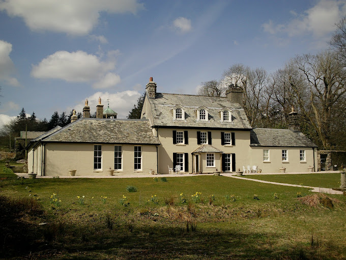
Tor Royal is the small Dartmoor mansion which was built for Thomas Tyrwhitt between 1785-98. Evidence suggests there may have been a pre-existing structure on the site. Tyrwhitt was the Private Secretary to the Prince of Wales as well as an entrepreneur. He was the catalyst for the first main development of Princetown as a viable settlement. This was to house his agricultural workers. In 1785 Tyrwhitt bought over 2,000 acres, where he experimented with growing various crops, the most successful of which was flax
It has been recorded that Tor Royal had a wing added 1815-20 as stated by Copeland, Hemery and the Department of Environment amongst others. However, in 2010 (Berry and Thomas) this was cast in doubt as the extension which included the Royal Suite appears to have occurred sometime after 1841 (not in the 1820s) as the Tithe map shows no change from a 1812 survey of the house. If this fact is true then the extension would have been undertaken after Tyrwhitt’s death (28th February 1833). The building is grade II listed.
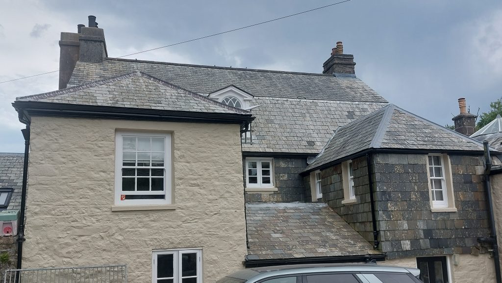
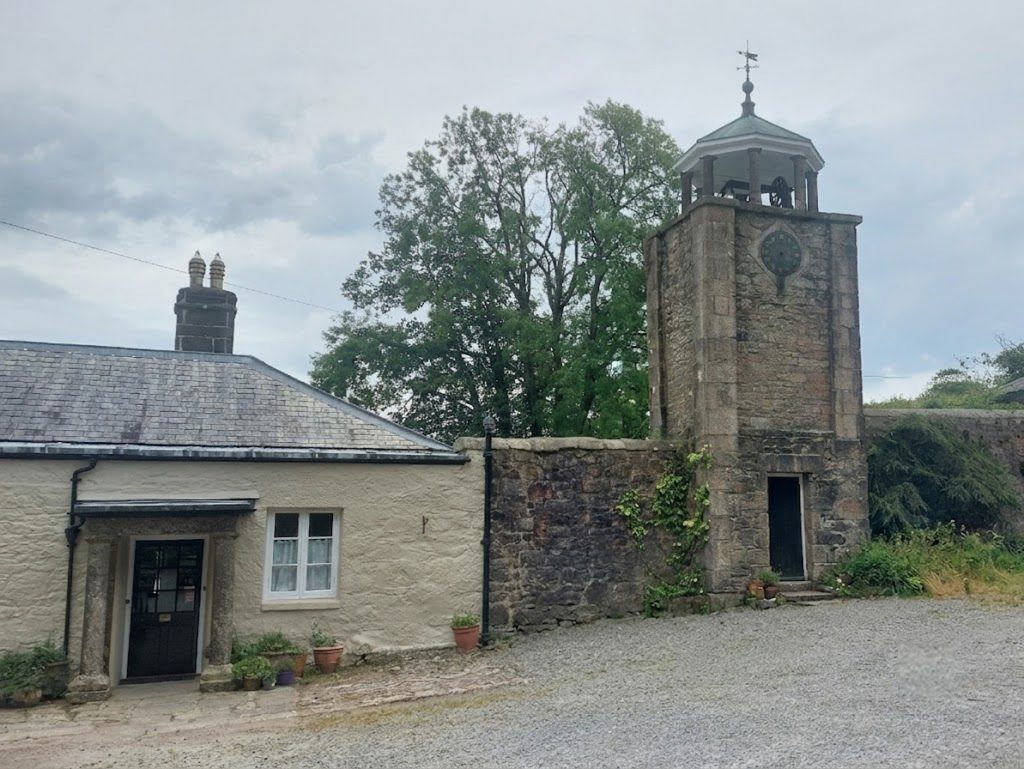
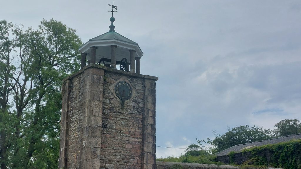
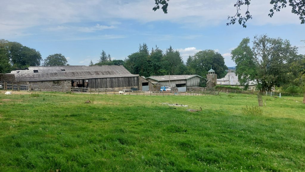
The rear of the main building at Tor Royal. Of historic note, on 28th February 1868, the following advert appeared; “To let, desirable residence called Tor Royal House, with about 290 acres of Land half-mile from Prince Town, Dartmoor”. In the advertisement, the residence is described as having a spacious entrance hall, dining room, drawing room, breakfast room, five best bedrooms, three servants bedrooms, two attics, kitchen, back kitchen, housekeeper’s room and scullery. Outside, the outbuildings were described as comprising two stables, loose box, coach house. harness house and other commodious and convenient buildings attached.Part of Tor Royal courtyard contains a water and clock tower from circa late 18th century. The belfry is thought to have been added slightly later. Berry / Thomas suggest there is evidence of a pre-existing structure on the site of Tor Royal, prior to 1785, which would explain the incorporation of the courtyard wall into the later clock tower and the slightly skewed plan of the house.The clock tower is square on plan with the copper roof to belfry in a hipped octagon shape. Note the open octagonal belfry is supported on granite columns and is topped off with a ball finial and weathervane. The belfry is shown in a drawing of Tor Royal House in 1828.
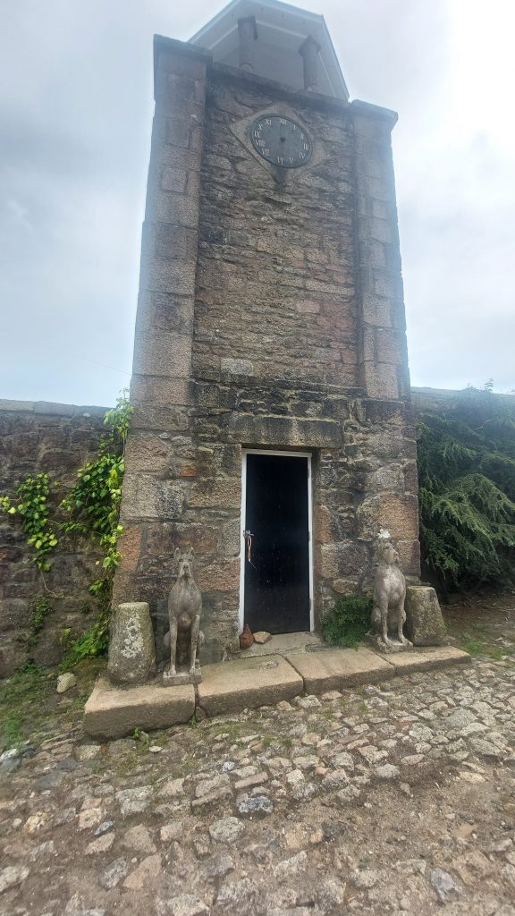
Two large dog statues and two granite pillars are either side of the entrance to the tower. The house was further developed by Albert E Richardson in 1912, in anticipation of Prince Edwards visit. It is known at this time that the original farmhouse roof was replaced as well as that of the clock tower
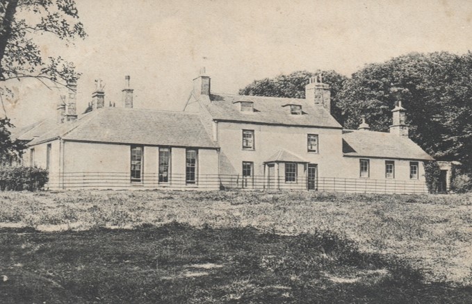
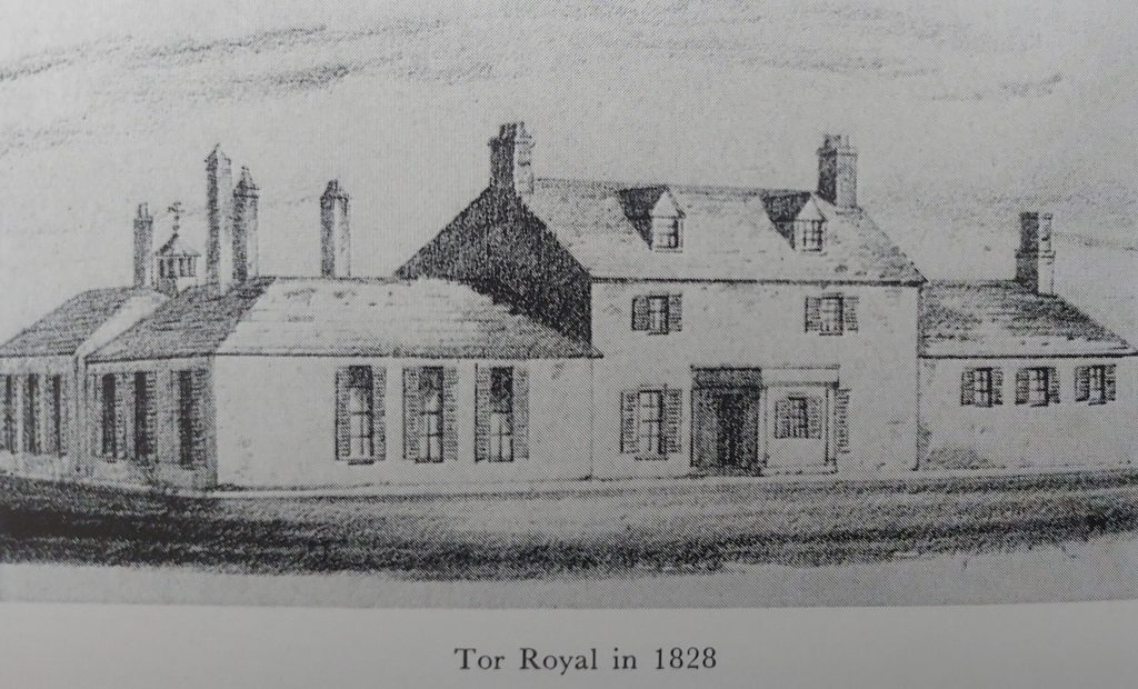
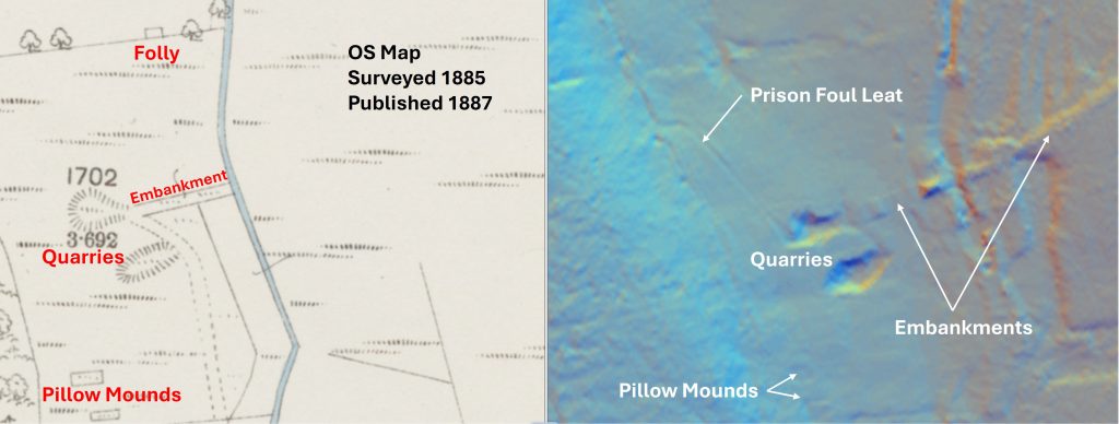
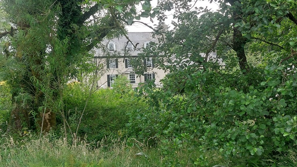
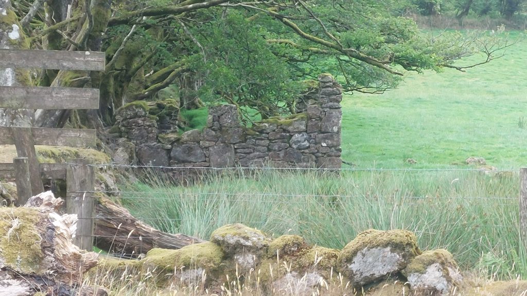
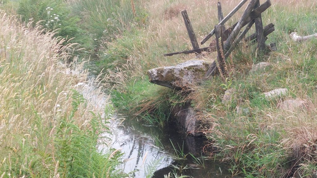
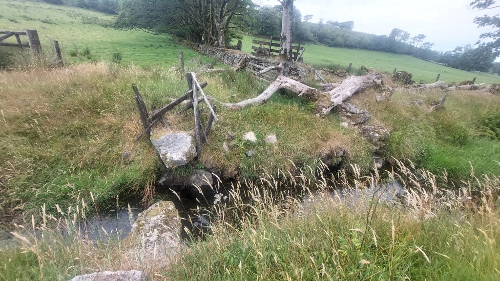
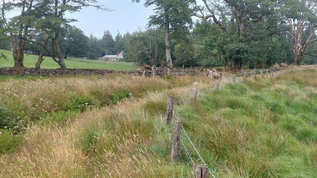
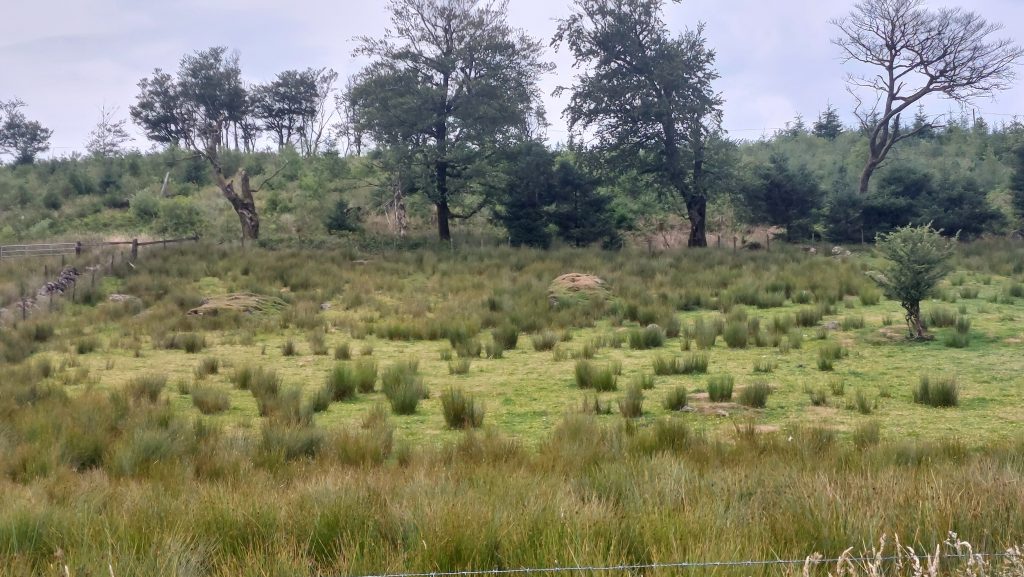
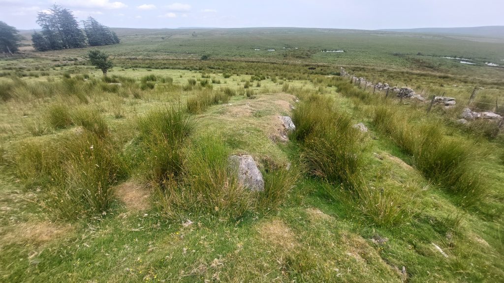
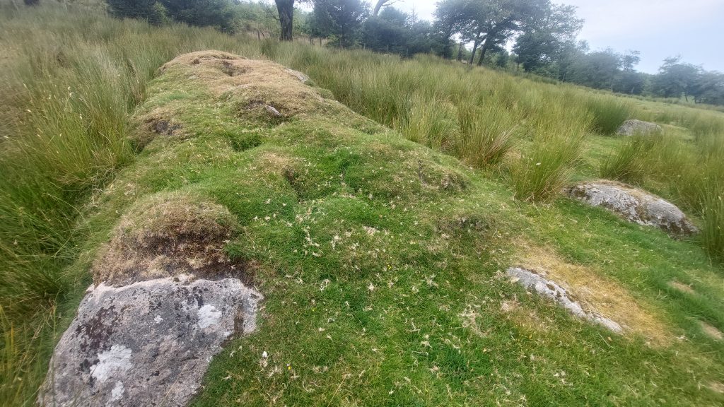
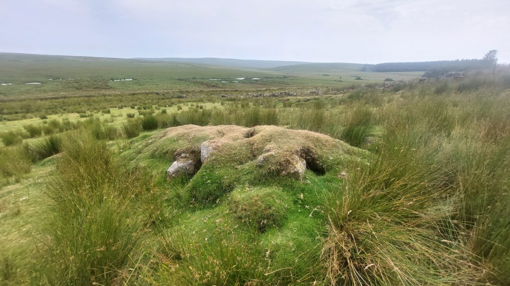
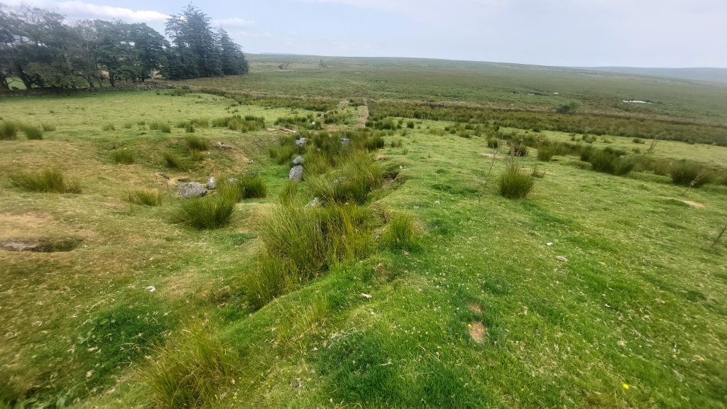
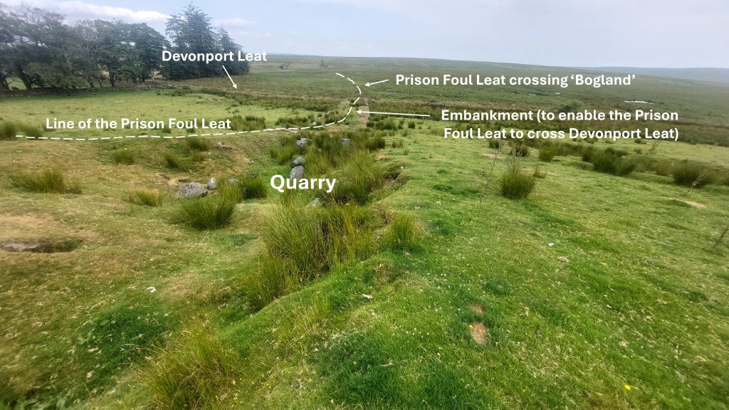
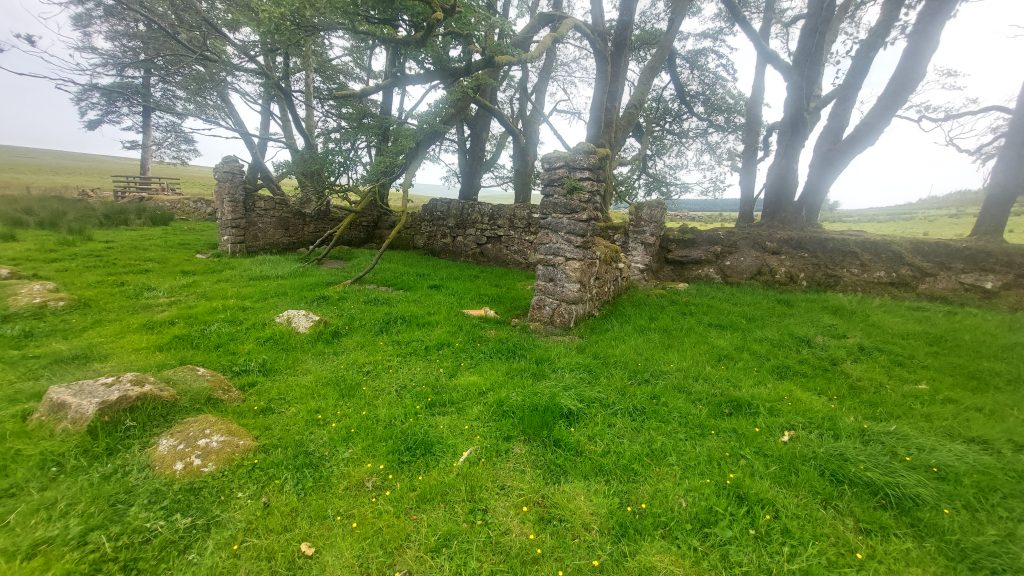
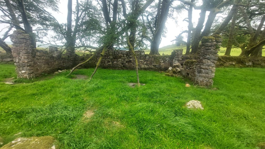
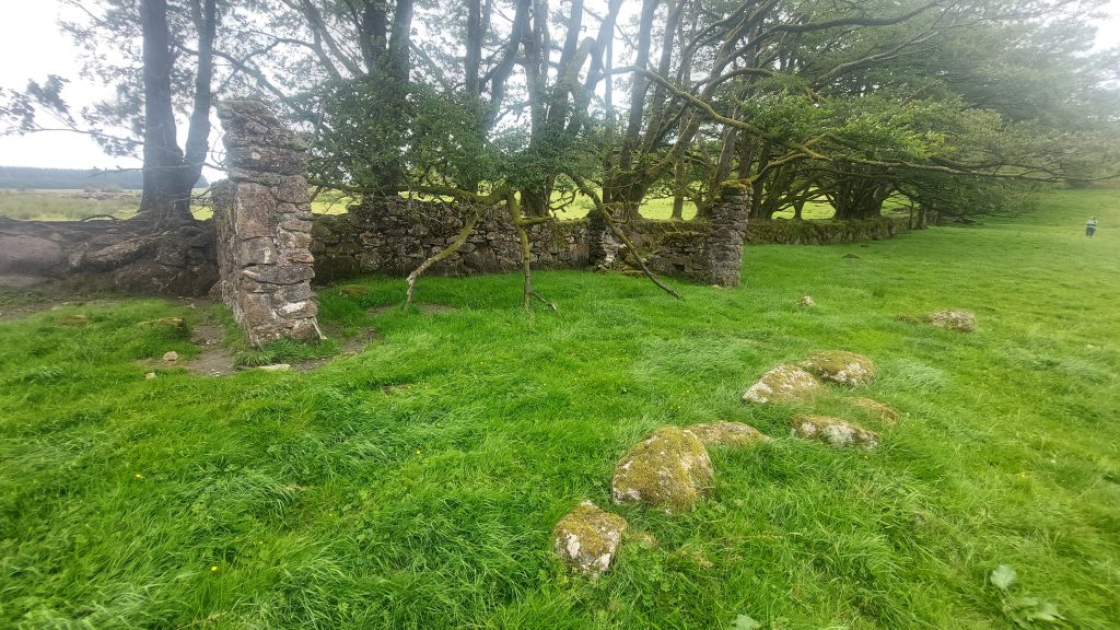
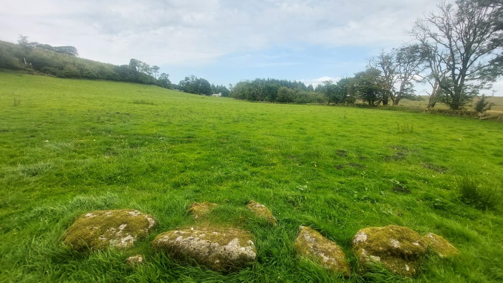
Picture of Tor Royal from 1828 from Crossing’s Hundred Years on Dartmoor. Note that the clock tower belfry is shown in this drawing peeking out between some chimneys. Significantly, since 1828 two extra windows have been added; one on the first floor above the doorway and one in the centre of the roof space. The main windows are all shuttered in modern times and this may be an original feature as they are shown in the above drawing of the house.There are a pair of horse / pony heads at the gate at the entrance of Tor Royal. The author believes these represent the crossbreeding of a Dartmoor mare with an Arab stallion at Tor Royal. A famous cross-bred Dartmoor Pony was called “The Leat”.“The Leat” was the first pedigree Dartmoor Pony (Hendricks 2007) and was purchased by Miss Calmady Hamlyn in 1925. In https://medievalwarhorse.exeter.ac.uk/2021/10/29/pony-power/ the back story to is as follows: “In 1855, polo came to Britain from India significantly affecting pony breeding. By the 1860s, under the influence of the Prince of Wales, systematic efforts were undertaken to ‘improve’ ponies from the Dartmoor herds with outcrossing with thoroughbred Arabians, Hackneys, Welsh, and Fell horses to produce an ideal sport pony. Dartmoor ponies were foundational to the formation of the Polo Pony Stud Book in 1899”This 1887 OS Map ‘snippet’ and LiDAR plot show many of the features covered in this post, namely; The Folly, the Prison Foul Leat Embankments, two Pillow Mounds and two quarries. The Embankment on the west side of Devonport Leat is still identifiable on modern OS mapsTor Royal house through the trees from the east, taken adjacent to Devonport LeatGlimpse of the ‘Folly’ in Field 146 (Edmunds Field) taken from the eastern bank of Devonport LeatSheep Leap on Devonport Leat near the north east corner of field 145 (Sand Field)The Sheep Leap is located at SX60168 72704Another glimpse of Tor Royal from the east bank of Devonport Leat. The drystone wall is the northern boundary of field 145 (Sand Field)This picture is taken from Devonport Leat and shows two ditched pillow mounds lying roughly parallel, down the slope in an enclosed, relatively stone-free arable field (145 – Sand Field) of Tor Royal FarmThe southerly Pillow Mound close up is nearest a drystone wall. The RCHME record this Pillow Mound as being 10.3m long, being on average 4.2m wide and 1.1m high. There is a ditch surrounding it which is silted at each end. The mound shows disturbances by rabbit burrows and has evidence of stones and boulders at its baseThe southerly Pillow Mound is located at SX60106 72562The northerly Pillow Mound is located at SX60097 72574. As recorded by RCHME, this Pillow Mound is 9.5m long and a maximum 4.5m wide. It is 1.1m high with a silted ditch a maximum 1.7m wide and 0.4m deep.‘Sand Field’ (number 145 on Tithe) looking across a small quarry towards the Foul Leat embankment, the line of Devonport Leat and the fields called Little Coombe and ‘Bogland’ beyondThe annotation here provides some context of the historical features described in the previous pictureThe ‘Folly’ is located towards the south-east corner of Edmunds Field. The wooden fence construction to the left (east) by the solitary tree is located next to Devonport Leat and is shown in the previous Sheep Leap photographsThe ‘Folly’ is essentially two perpendicular walls aligned north-south protruding from the south wall of Edmunds Field (number 146 on Tithe)The Folly is located at SX60135 72715Line of stone at the northern edge of the ‘Folly’ looking north to Tor Royal across ‘Edmunds Field’ and ‘The Lawn’Tor Royal as viewed from the north west side of ‘The Lawn’ (Field 147 on Tithe)