Dartmoor Explorations

A collection of walks, discoveries, insights and pictures of exploring Dartmoor National Park

‘Shewte Rights’ – Boundstones marking grazing rights on Yarner Down

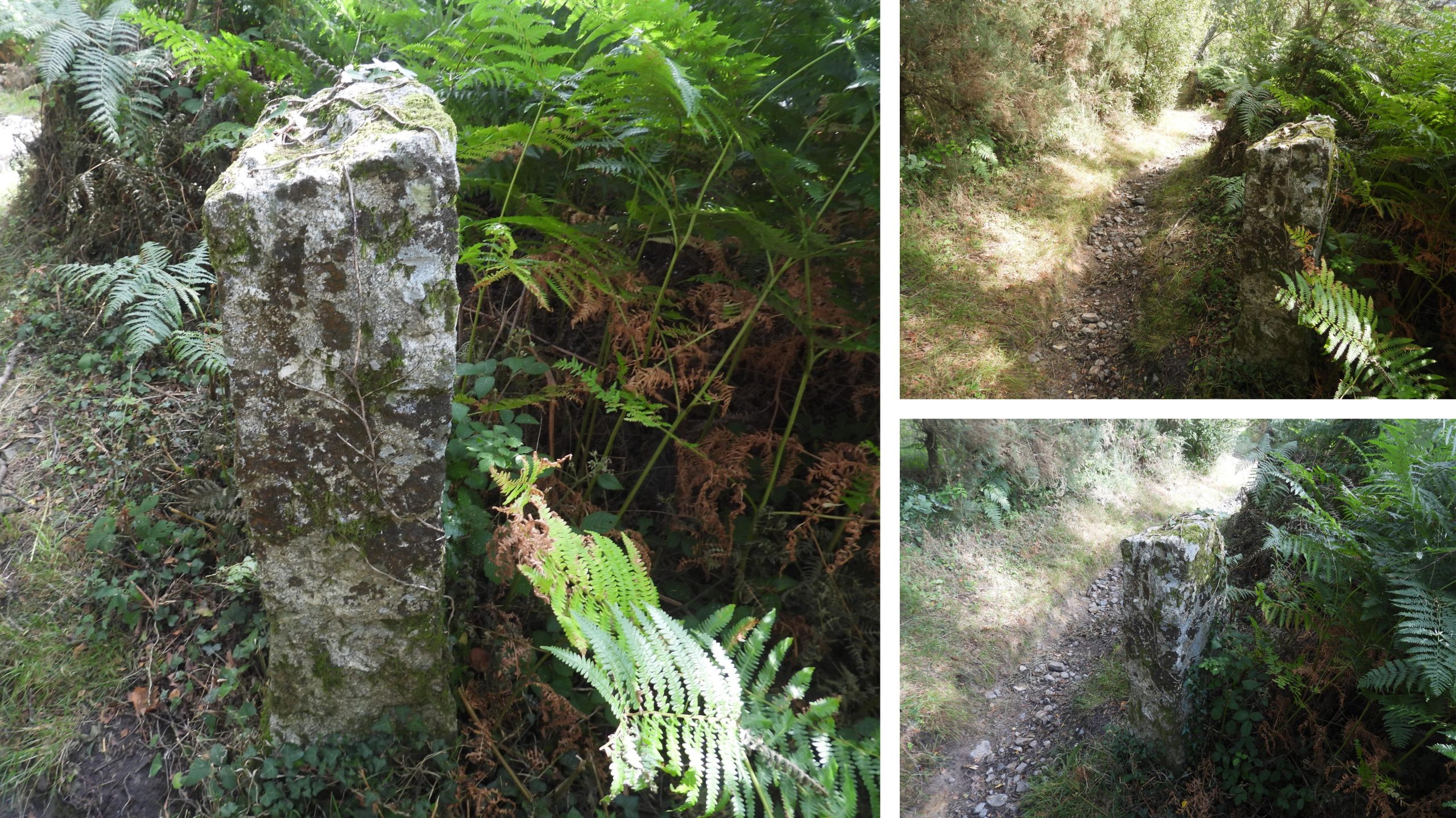
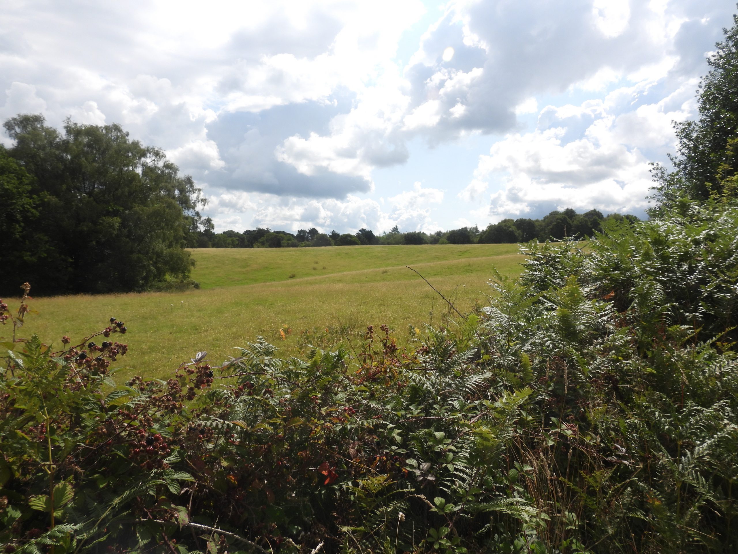
On the bridleway between the Haytor / Bovey Tracey road (near the entrance to Ullacombe) and the Manaton / Bovey Tracey road (near Reddaford Water) there are three boundstones, of which two have intriguing inscriptions. The boundstone nearest the Haytor / Bovey Tracey road (southern most) is inscribed ‘Shewte Rights’, which hints at the reason why the boundstones were erected. The story of the stones is explained in Dartmoor Boundary Markers (2nd Edition, 2002) by Dave Brewer on page 245, where the contents of a letter he received from a Mrs Scott of Shewte Farm, following his enquiry as to an explanation, was published.

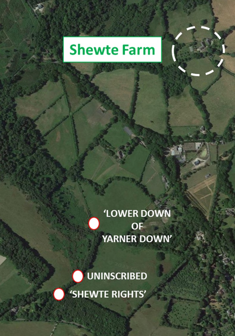
There appears to have been at least four original stones, which marked the Shewte Farm grazing rights on what was once common land on Yarner Down before it was enclosed and which at one time had been squatted on. Shewte Farm had once formed part of the Yarner Estate.

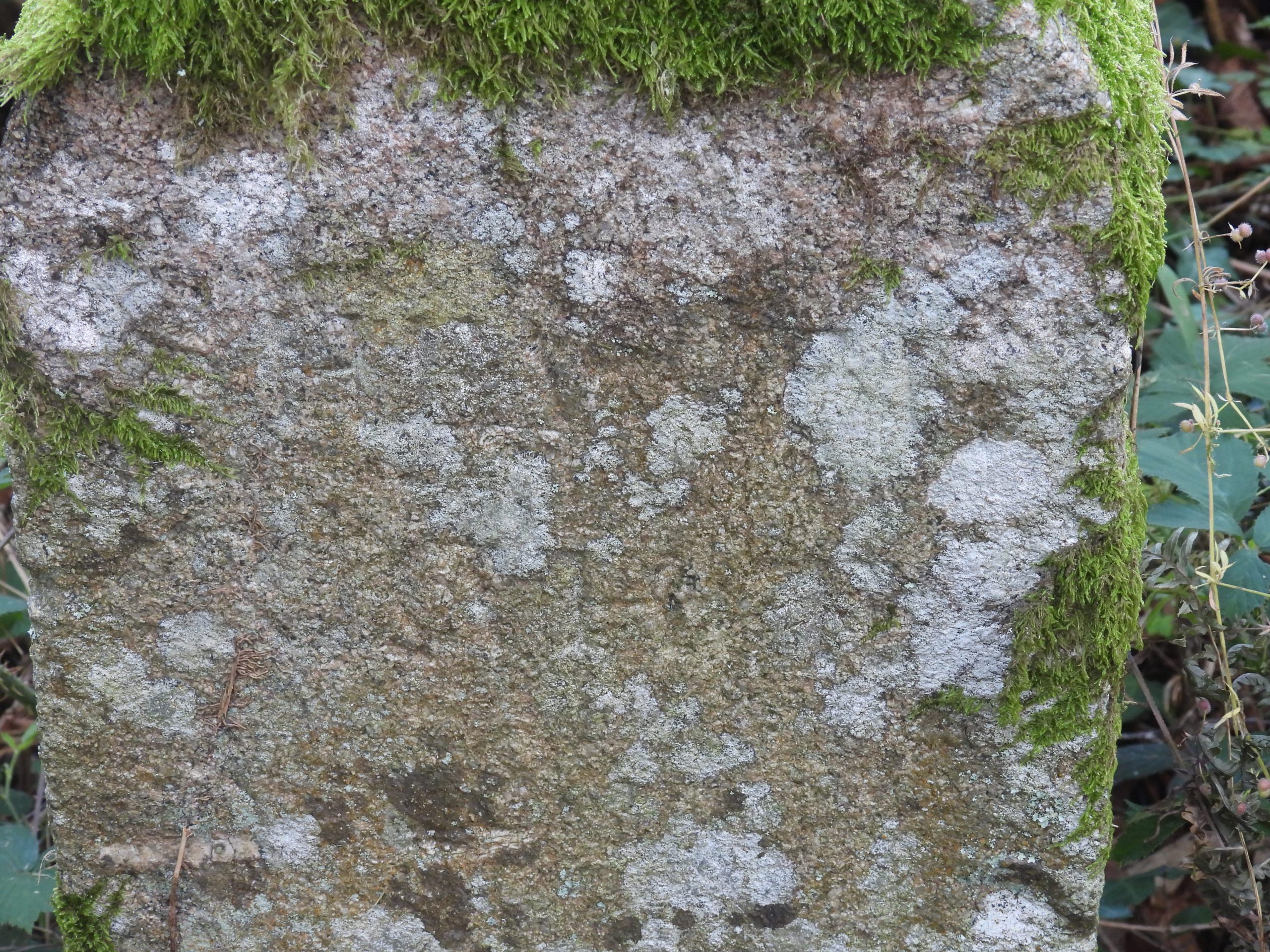
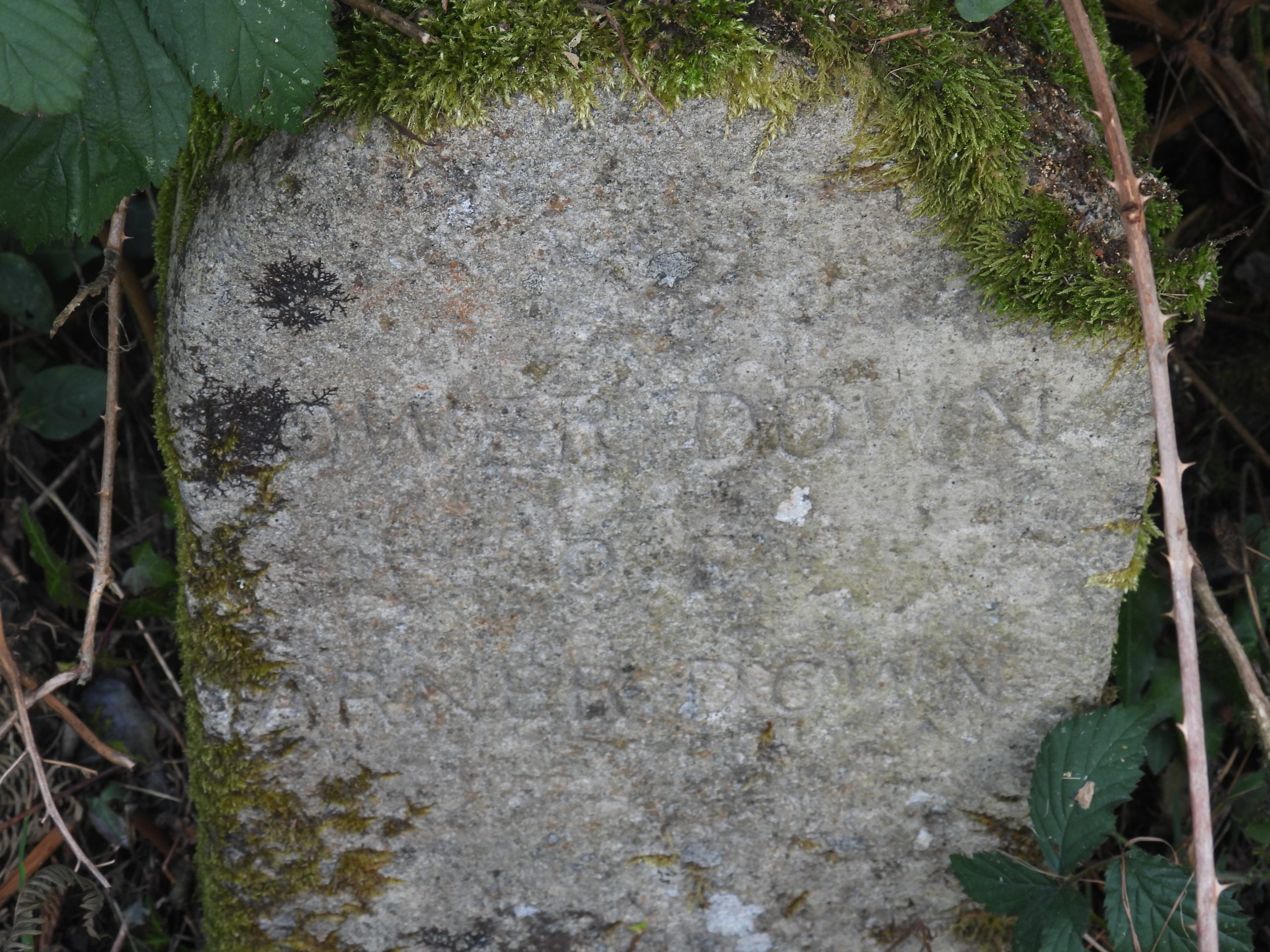
Mrs Scott further explained to Dave Brewer that at the farm a stone shed had been pulled down and some marker stones / granite posts (in one case used to make a step) had been found. On one of these marker stones / granite posts was inscribed ‘Lower Down of Yarner Down’. The land on this part of Yarner Down is divided by the old Haytor / Stover Canal granite tramway, the northerly section (below the tramway) known as ‘Lower Down’.

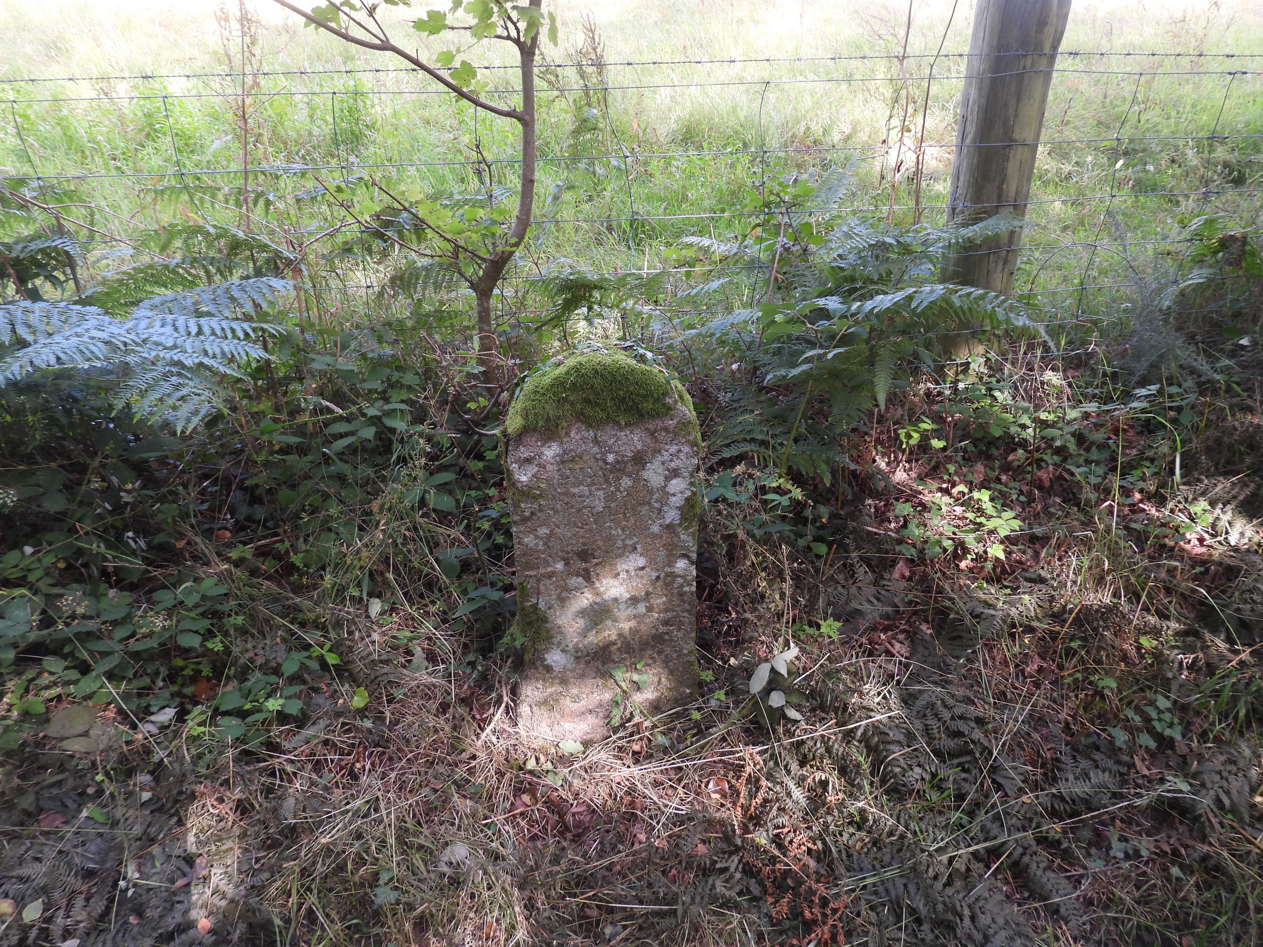
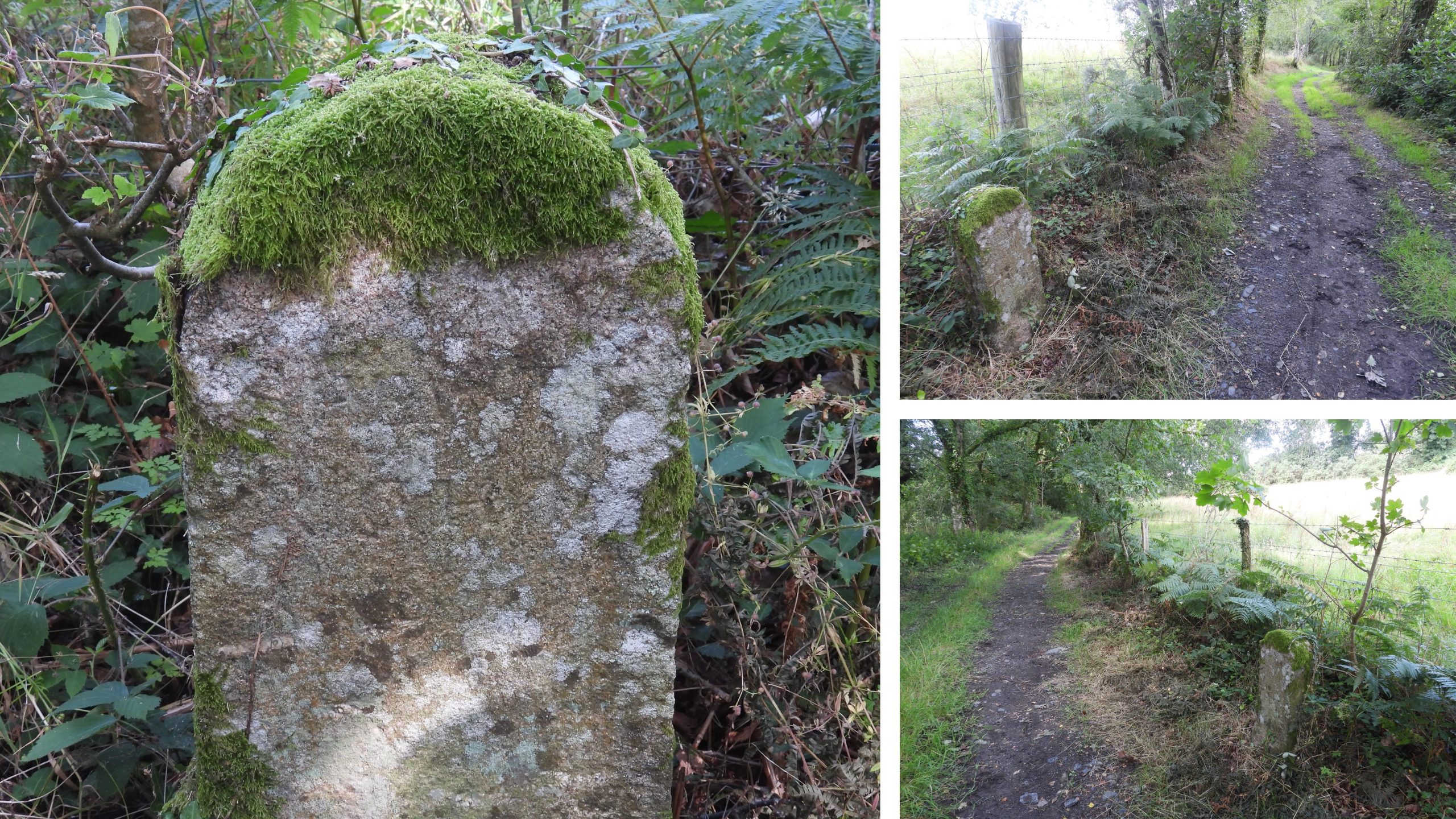
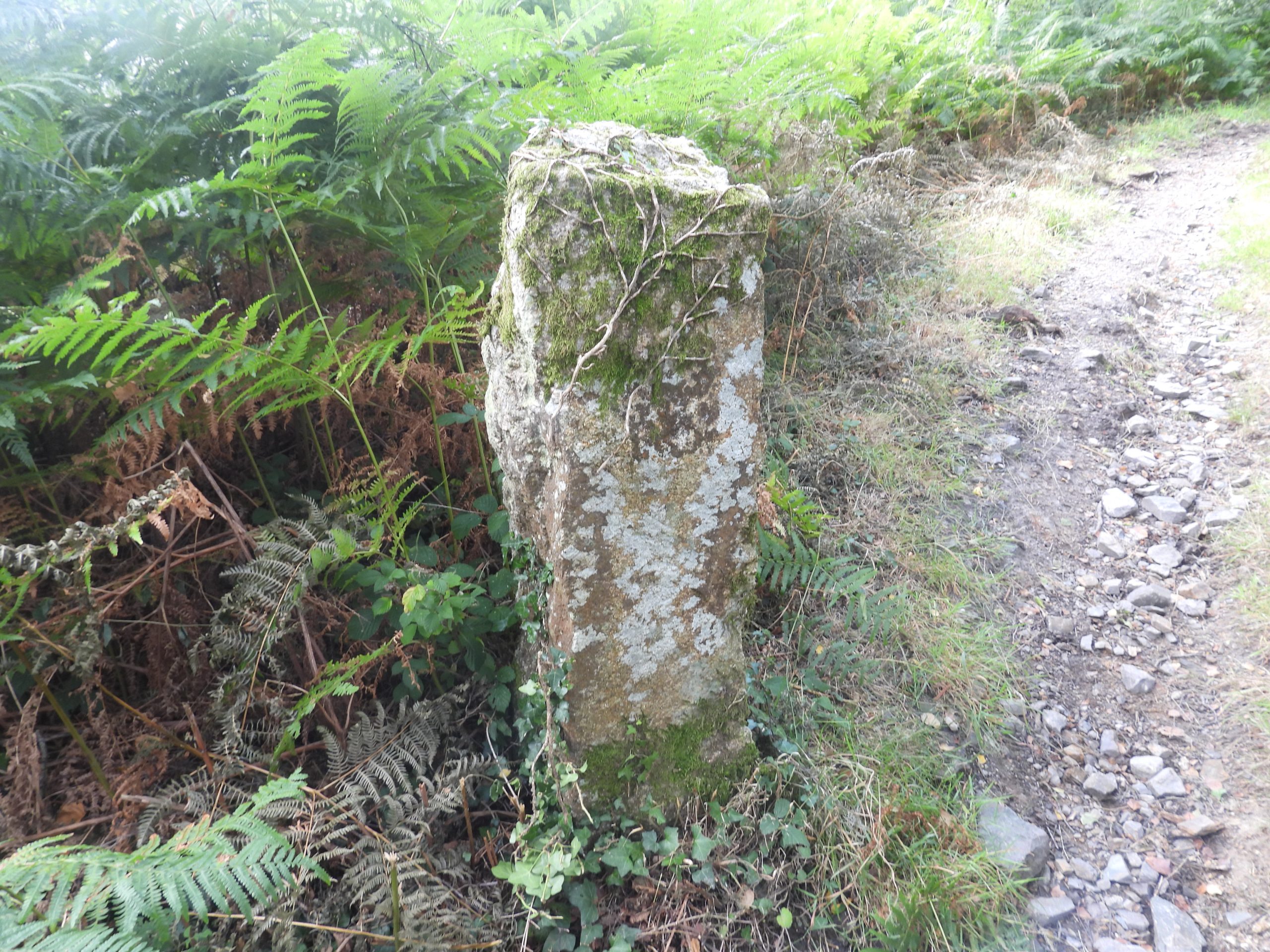
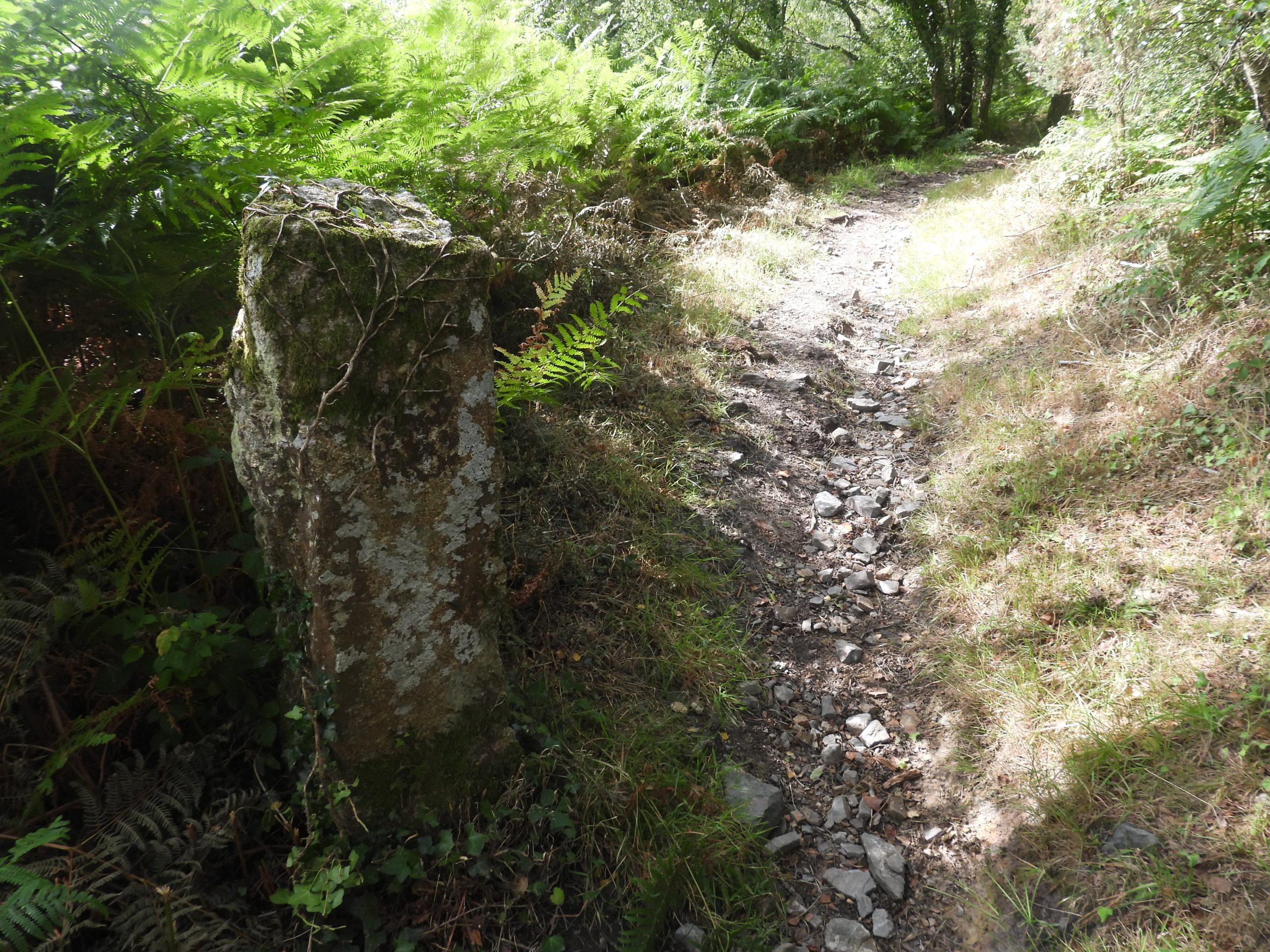
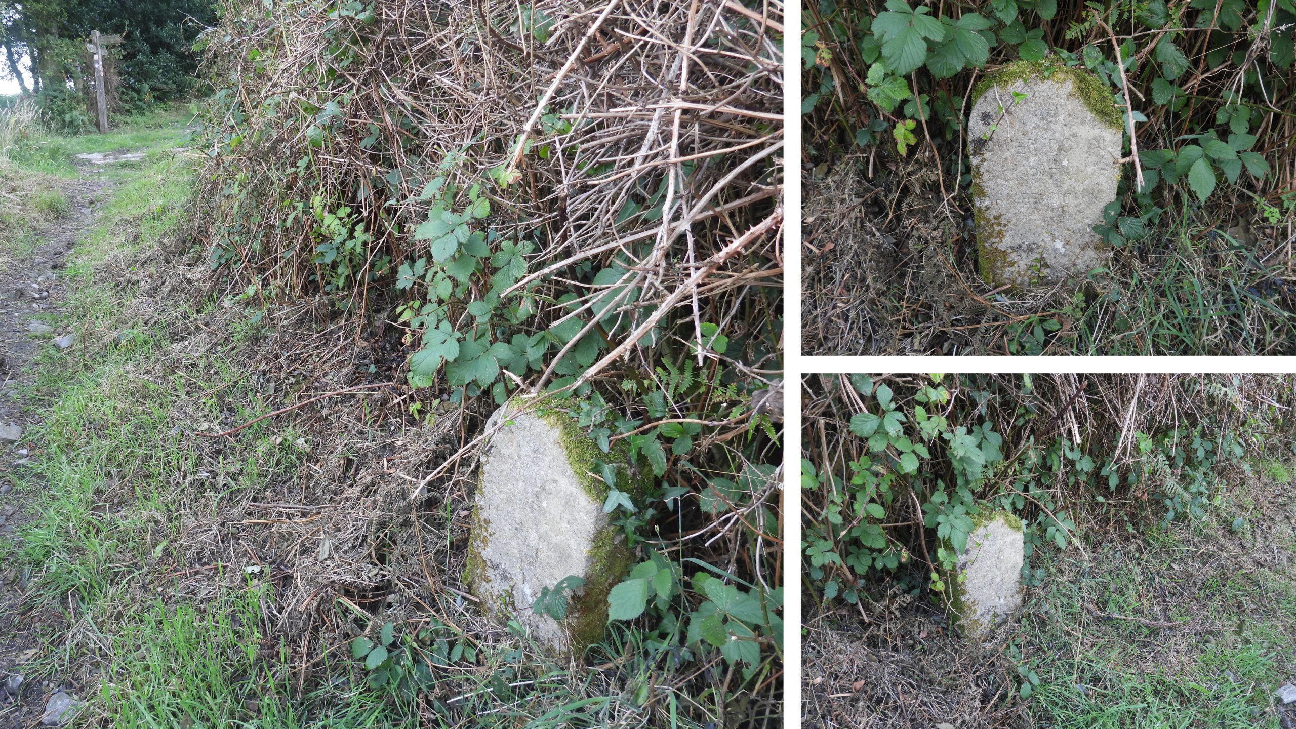
Using 19th century maps, the four original boundstones are clearly labelled. The higher (southern most) two boundstones appear to be still in their original positions, above the line of the tramway. These boundstones comprise the ‘Shewte Rights’ inscribed stone and a further uninscribed stone. The lower (northern most) two boundstones are shown to have originally been erected on what is now private land to the west of the current bridleway and below the line of the tramway. One of these lower two boundstones would (most likely) have been the marker stone / granite post described by Mrs Scott as being inscribed ‘Lower Down of Yarner Down’. In the intervening years since the Dave Brewer book was published the ‘Lower Down of Yarner Down’ stone has been re-erected and can now be found on the bridleway, a short distance downhill from where the granite tramway crosses its course. Therefore three of the original four stones can be found when walking the bridleway, with the fourth likely to be either still in situ on the private land or still at Shewte.

0. Map
This annotated 19th century map shows the location of the original four Shewte grazing rights boundstones. The three boundstones marked in red are those which are still extant, two of which are in their original locations. The granite tramway and the Bovey Pottery Leat are marked for information as is Shewte Farm which lies to the north of the Manaton / Bovey Tracey road.
1. Shewte Rights a
The ‘Shewte Rights’ inscribed boundstone is located on the east side of the bridleway at SX79041 78194
1. Shewte Rights b
The ‘Shewte Rights’ stone – a close up view and two contextual views next to the bridleway
1. Shewte Rights c
Close up of the ‘Shewte Rights’ inscription, which in low light conditions is a little difficult to read.
2. Uninscribed Stone a
A short distance to the north (downhill) from the ‘Shewte Rights’ boundstone is an obvious uninscribed granite upright. The location of this upright matches the location shown on the late 19th century map.
2. Uninscribed Stone b
This boundstone bears tare and feather marks
2. Uninscribed Stone c
This plain boundstone is located at SX79115 78257
3. Field a
Just above the granite tramway, this field to the north east can be seen. The line of trees defining the boundary of this field is where the Bovey Pottery Leat is located.
3. Field b
Within the field (according to the 19th century map) is where one of the original grazing rights boundstones would have been located. The old map shows that a footpath (FP) would have once crossed this field.
3. Field c
Looking into the field from near the granite tramway. This field may well have once been the location of the ‘Lower Down of Yarner Down’ inscribed boundstone.
4. Lower Down of Yarner Down a
The ‘Lower Down of Yarner Down’ inscribed boundstone. The line of the granite tramway (fingerpost) can be seen at the top left on the left hand photograph in the above collage
4. Lower Down of Yarner Down b
Close up of the boundstone, which even in low light conditions can be read with the clear inscription in capitals ‘LOWER DOWN OF YARNER DOWN’. This boundstone can be found at SX79135 78437
5. Shewte Farm Google Earth
Shewte Farm (or at least part of it) appears to be holiday accommodation in 2023. The farm cannot be seen from the bridleway due to the lie of the land and the amount of trees. The relative locations of the three extant boundstones on the bridleway covered in this post and Shewte Farm are annotated on the above aerial view.
Total Page Visits: 890 - Today Page Visits: 1

Next Post

Previous Post

Leave a Reply

© 2024 Dartmoor Explorations

Theme by Anders Norén

Social media & sharing icons powered by UltimatelySocial