A collection of walks, discoveries, insights and pictures of exploring Dartmoor National Park
July 17, 2020
RAF SHARPITOR (DOMESTIC SITE)
Steve Grigg
RAF Sharpitor (Domestic Site). This post about is in two parts. This part is dedicated to the site of the barracks known as the “Domestic Site”, which was established in 1942 but abandoned by the end of 1949. Tribute must be paid to Bill Wilkinson who served there and wrote two superb articles in the Dartmoor Magazine (issue 44 – Autumn 1996 and issue 83 – Summer 2006), without which I fear a lot of the history might have been lost.
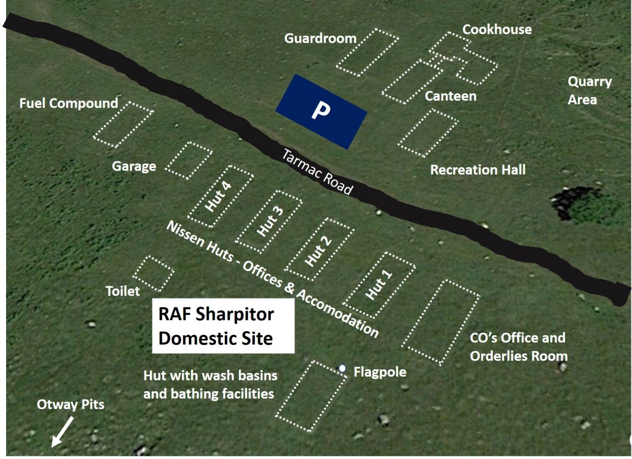
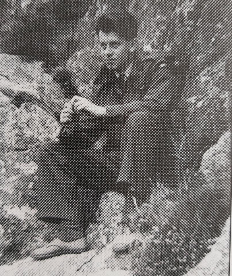
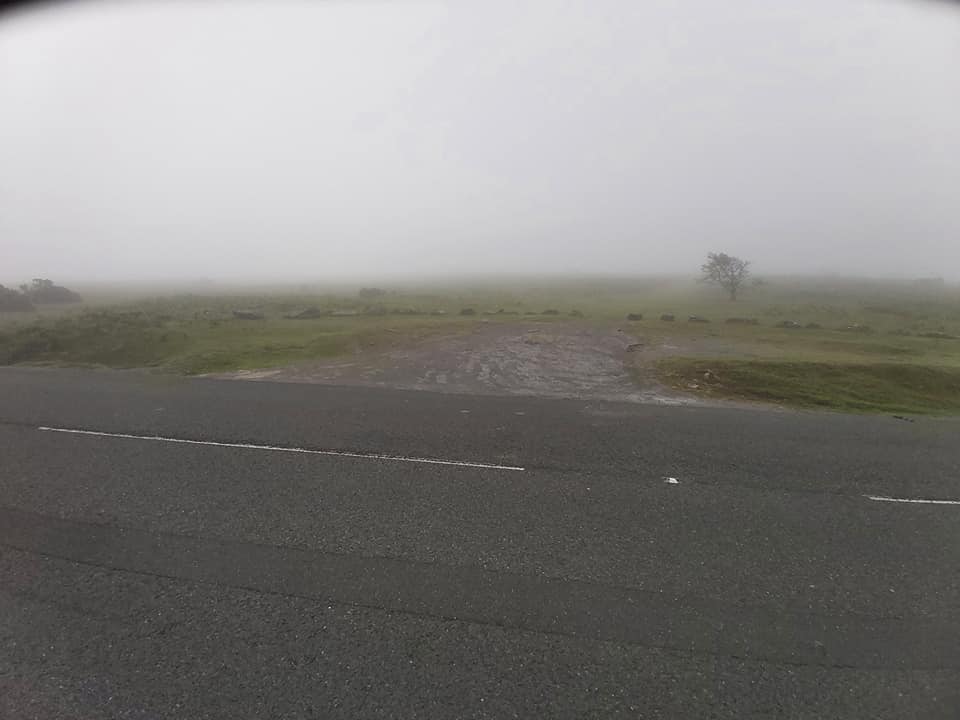
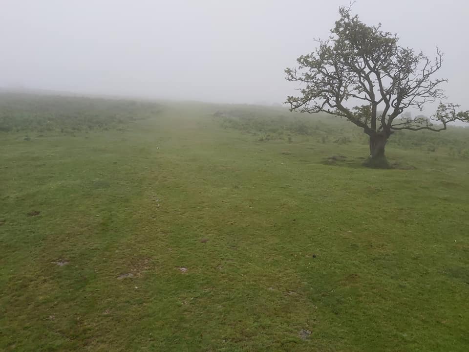
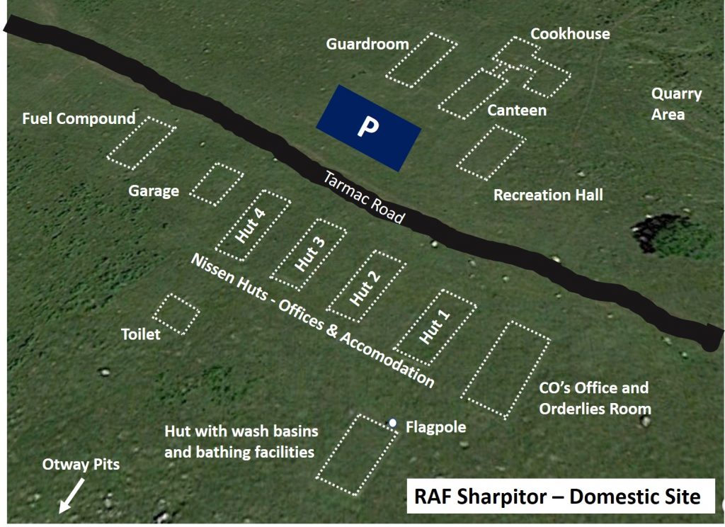
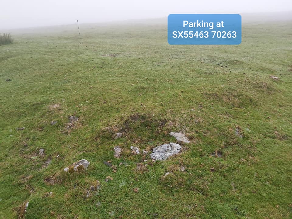
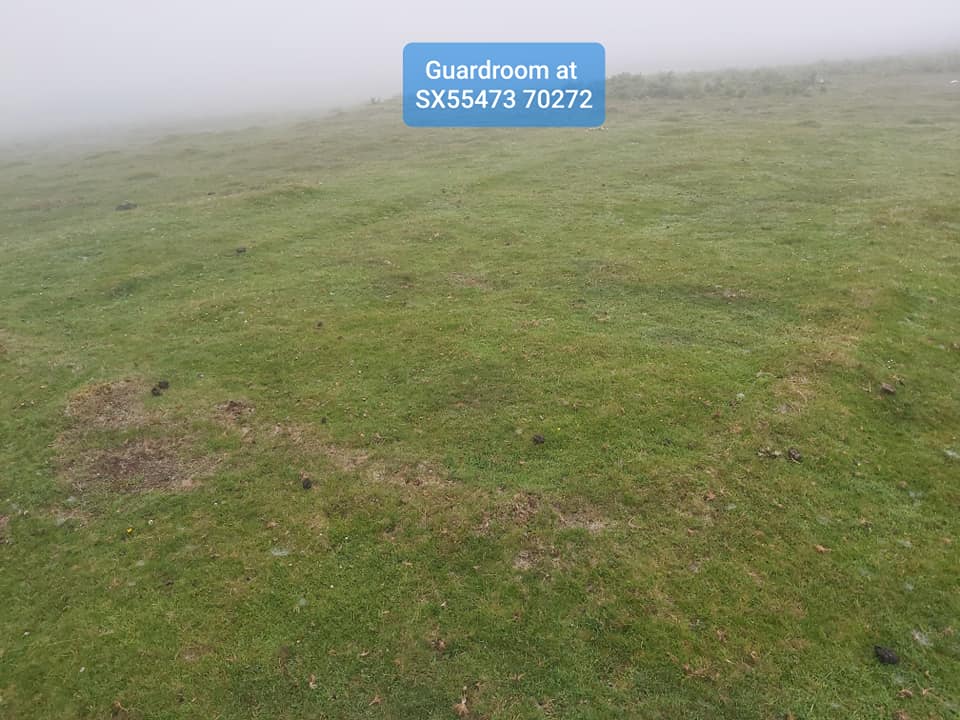
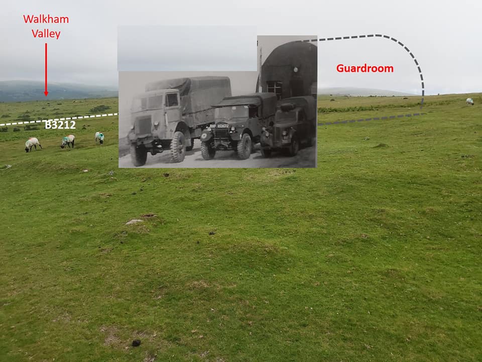
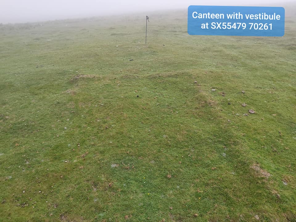
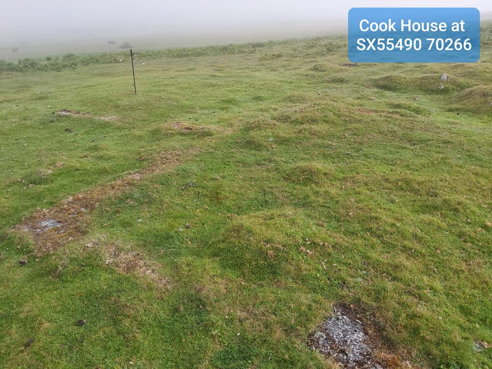
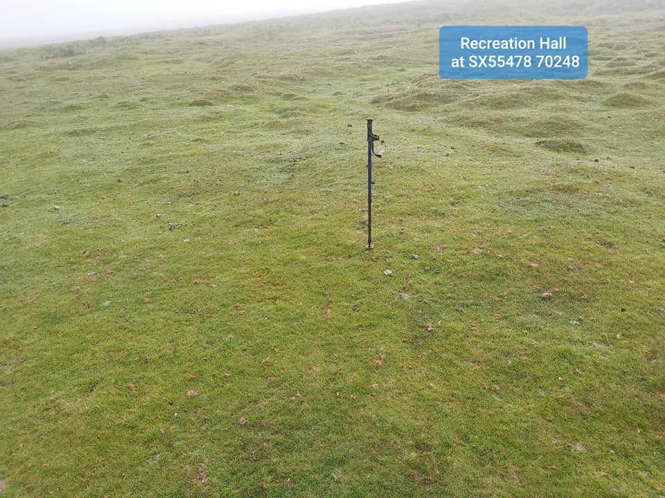
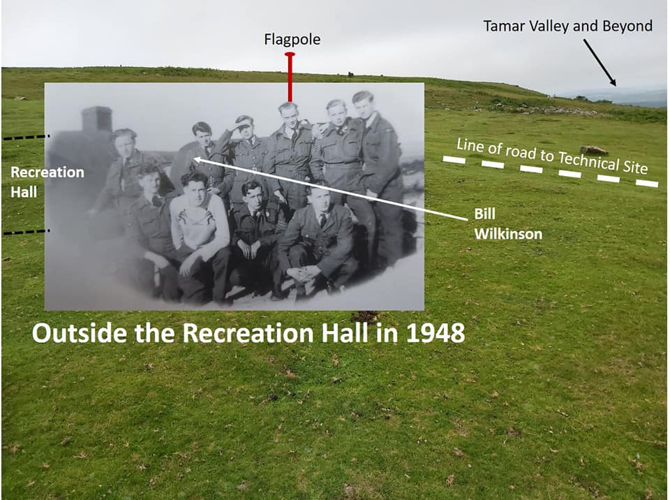
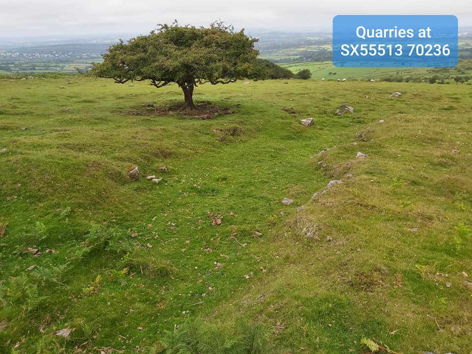
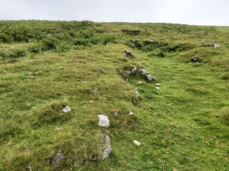
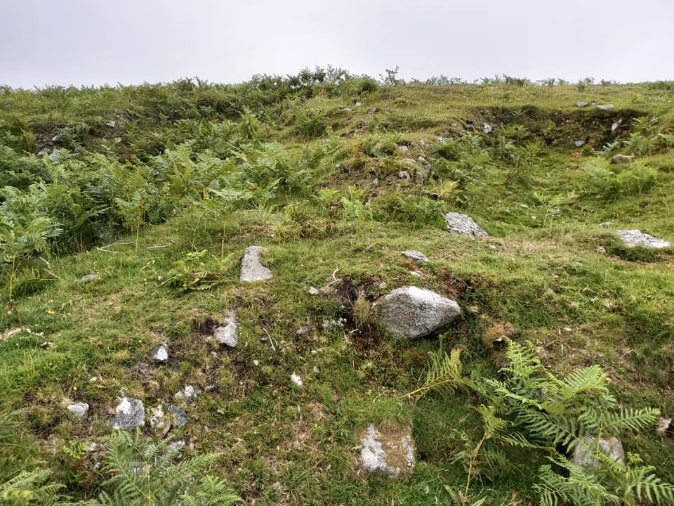
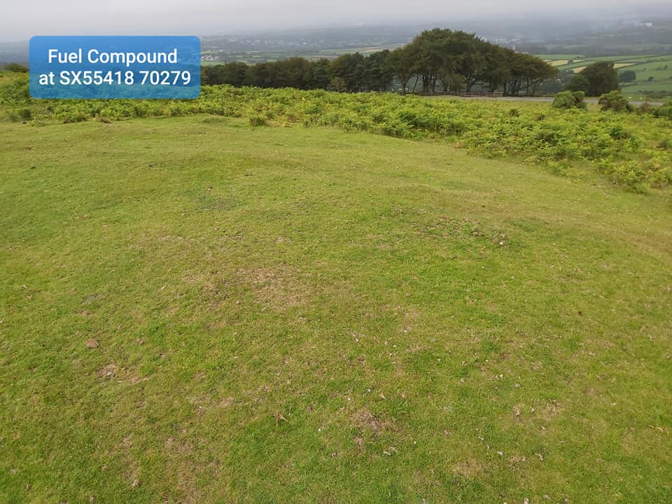
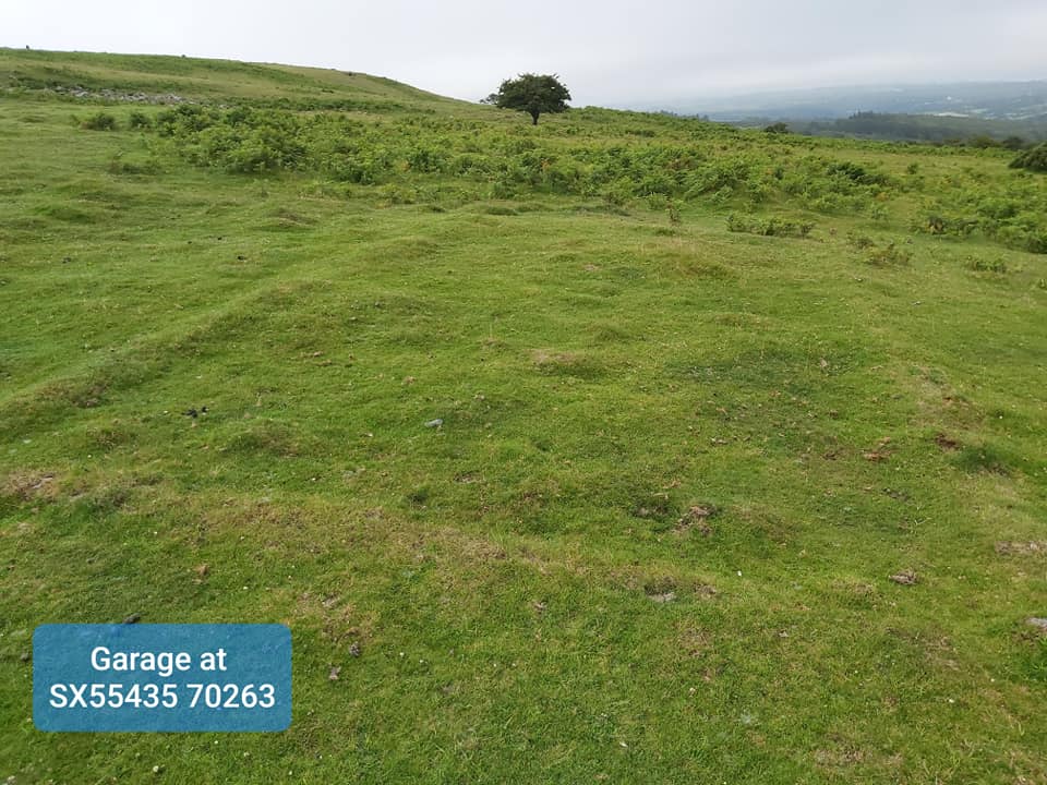
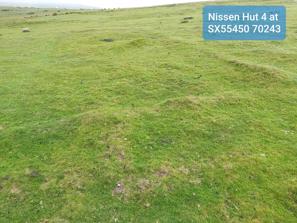
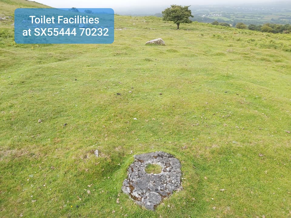
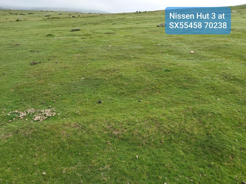
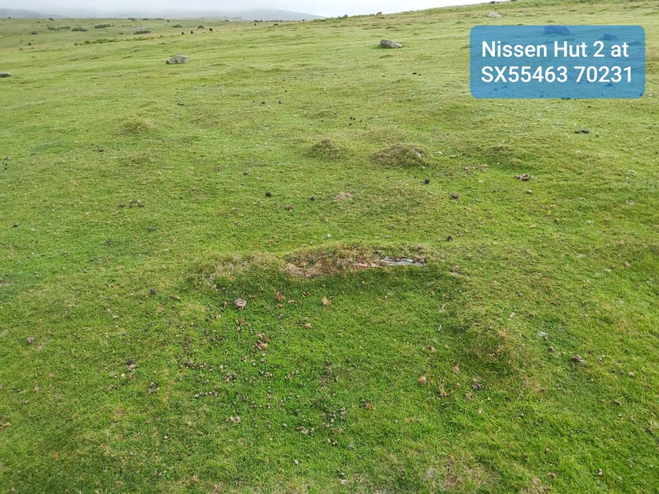
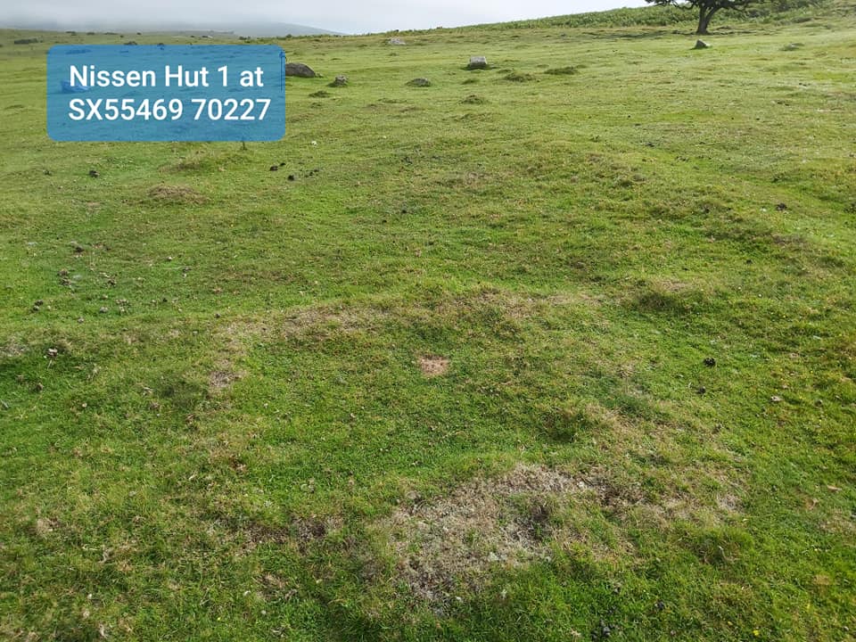
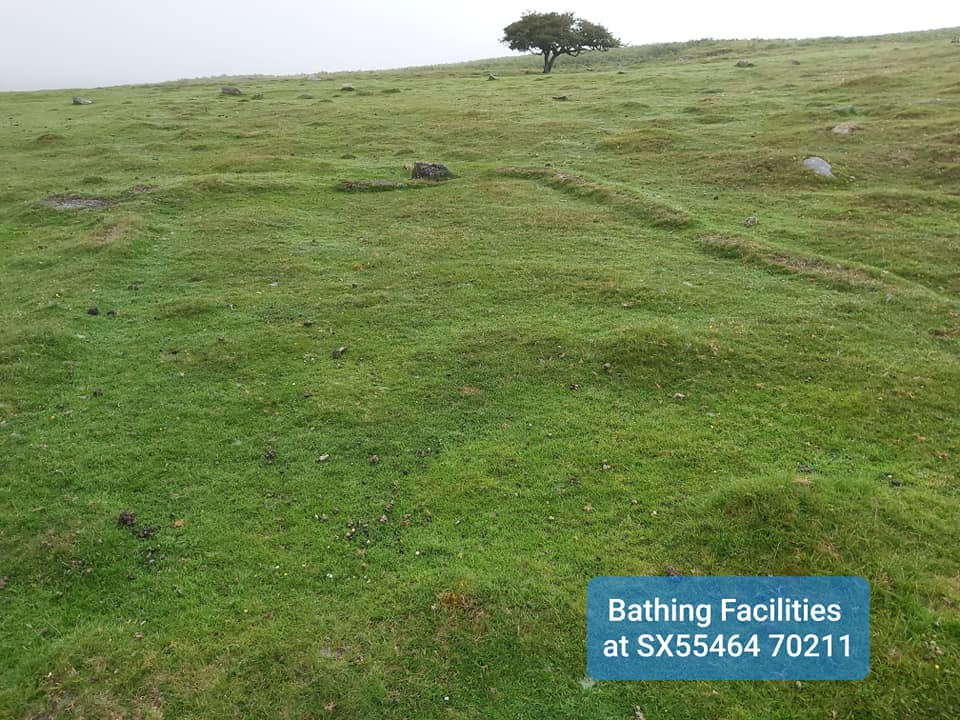
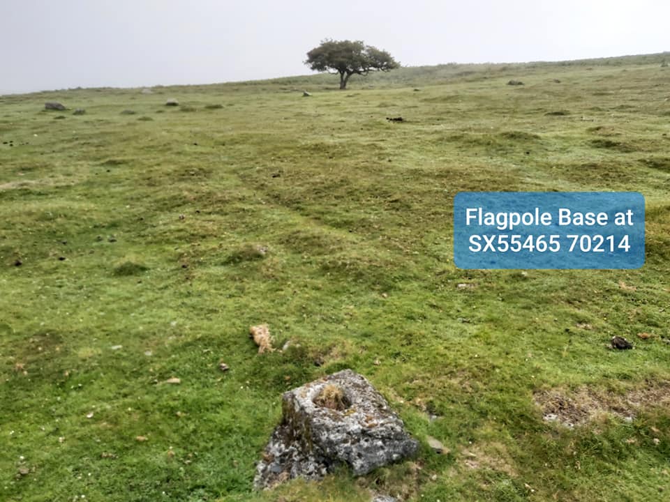
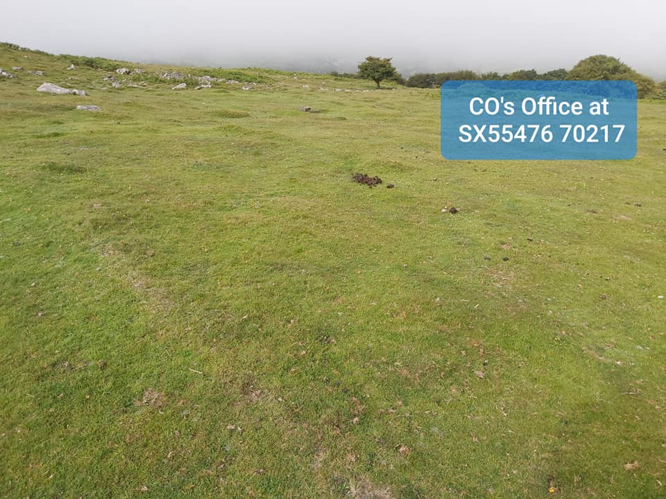
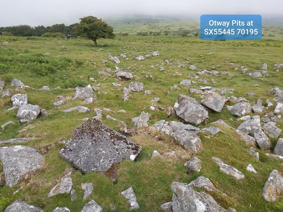
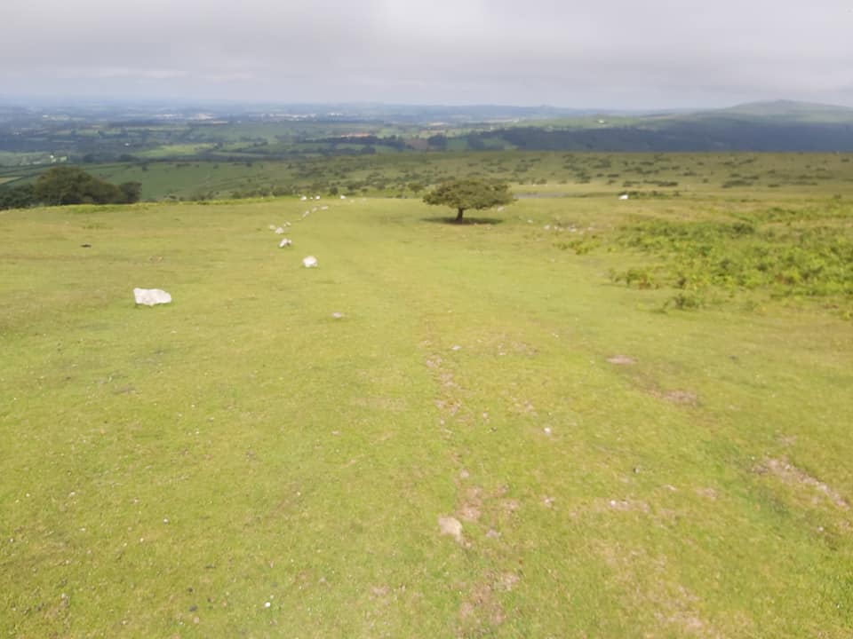
Bill Wilkinson in 1949 at RAF Sharpitor.Let’s start with a rather boring photograph showing one of two access points to RAF Sharpitor from the B3212, which is often used as a car park today. The two access points were SX55382 70354 and SX55318 70276From the B3212, the access to the Domestic and Techical Site was via a tramaced road, which is easily followed today (even in murky conditions like in the photograph)To work out the layout of the Domestic Site, I used Google Earth at first alongside Bill’s descriptions, then a visit to confirm understanding. The foundations above the road are East and those below the road west.Bill Wilkinson described the first area you come to on the eastern side of the road as a square parking area with the Guardroom behind. This slightly raised area was the parking.….and behind the parking area are the foundations of the Guardroom as described by BillAs the murk cleared I managed to take a “now” photograph and overlay it with one from the 1940s. This is looking North-East(ish). This photograph helped me confirm parking and Guardroom locations.Bill further explains that the next buildings up the hill are the canteen with cook house behind. The two appeared to be connected by a short passage way. The canteen looks like it had some kind of vestibule.The cook house, looks like it was an odd shape, which I have attempted to show in the earlier planThe last building on the eastern side, mentioned by Bill Wilkinson is the Recreation Hall.Another recreation, this time from 1948. I found the flagpole base, so discovered this 1948 picture was taken looking West. As the sun was in their eyes it must of been taken in the morning.Just above the Recreation Hall is a lone tree. Next to this tree are some shallow irregular quarries. It has been muted that these may have been the source of some of the stone used in the road and building foundations.Another view of the quarries…..more parts of the quarries.….and so to the west side of the road. The first foundations are the solid fuel compound. You can see the B3212 in this photographThe second set of foundations on west side going uphill.The number of personnel that could be accommodated was 36. Each barrack (nissen hut) could accommodate 8 people. I noted 4 nissen huts and a CO’s hut, which ties this information together nicely.The toilet (behind hut 4) was easily located.After the site closed at the end of 1949, the personnel were accommodated at RAF Harrowbeer.Each of the nissen huts are quite easily to discern and appear to have a vestibule area at the western endHut 1, with the lone tree in the background. Each hut was split in two by a central wall with a coke oven on each side. These central walls can’t be seen in the foundations today.The bathing facilities are behind Hut 1The camp flagpole base can be easily found next to the bathing facilities hut. The tree is on 60deg from this point. The flagpole base still has wood in it. The group photograph just showed the flagpole above the group (which I embellished in the recreation photograph), this enabled me to correctly orientate the 1940s photographThe final hut on the western side going uphill was for the CO’s office and Orderlies room.50 yards west of the site are some 6″ square depressions and are Otway Pits, used for the disposal of organic waste. A square slab of concrete can be seen in this photograph.…..and so we leave the Domestic Site. This photograph is looking downhill back towards the site. Uphill is the “Technical Site” where the transmitting station was located and will be the part 2 post on RAF Sharpitor. Thank you for reading this post. The pictures aren’t the most interesting but hopefully, the lack of a plan mentioned by Bill Wilkinson is on the first step to being rectified.
Sean devanny March 11, 2024
My dad was stationed there and I think he is the young man in the white sweater. He recalled the RAF personnel going swimming in the reservoir.
SteveGriggDartmoor March 11, 2024 — Post author
Great story, thanks for sharing