A collection of walks, discoveries, insights and pictures of exploring Dartmoor National Park
August 22, 2026
Mystery Inscribed Boundary Stones in South Tawton Parish on the North West Slopes of Cosdon (Cawsand) Hill
On the north west slopes of Cosdon (Cawsand) Hill, in the parish of South Tawton are two inscribed stones, which appear they might mark a boundary, either individually or as a pair. However, the stones are not located on any known Ecclesiastical, Parish, Common or ownership boundary. So, what might the history of these stones be?
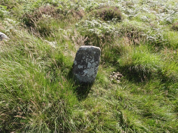
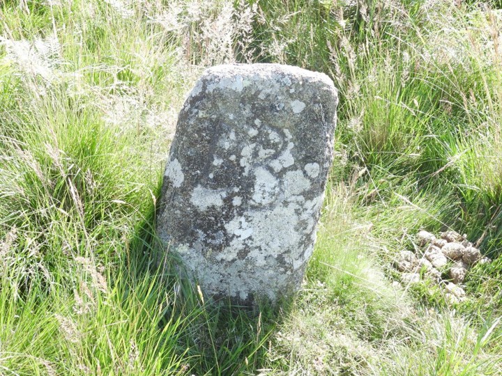
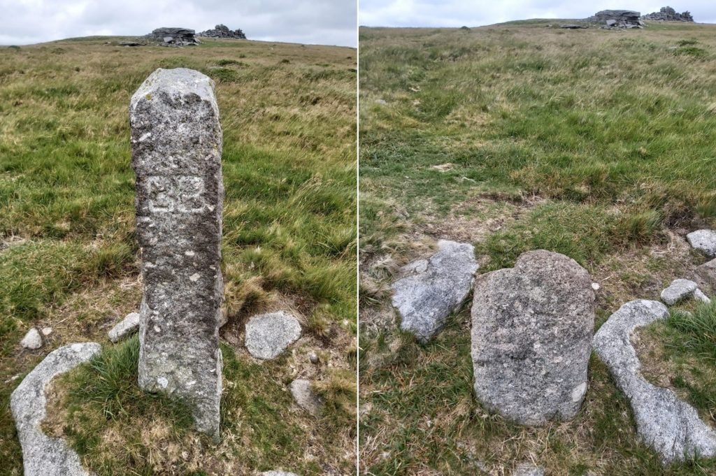
The western most stone is located near Lady Brook (labelled Ivy Tor Water on some OS Maps) and is inscribed ‘BB’, which suggests Belstone Bounds. The stone is recorded by Dave Brewer in his Dartmoor Boundary Markers (2nd Edition), by Eric Hemery in High Dartmoor and by Chris Walpole in the Book of Belstone. The key question here is why would such an stone so inscribed be located where it is, inside the parish boundary of South Tawton? The Belstone parish boundary is defined by the River Taw approx 500 m away. Dave Brewer offers a possible (part) explanation, insofar as the boundstone appears to (almost) be on the line of the straight route from Cosdon (Cawsand) Beacon to Chapel Ford (on the East Okement), which was the original Forest Bounds dating from the 1240 and 1608 Perambulations. The style of lettering on the Boundstone can be dated to the late 16th or early 17th century (ref: Hemery and Book of Belstone), so the Brewer theory seems to have credibility except its location in South Tawton parish
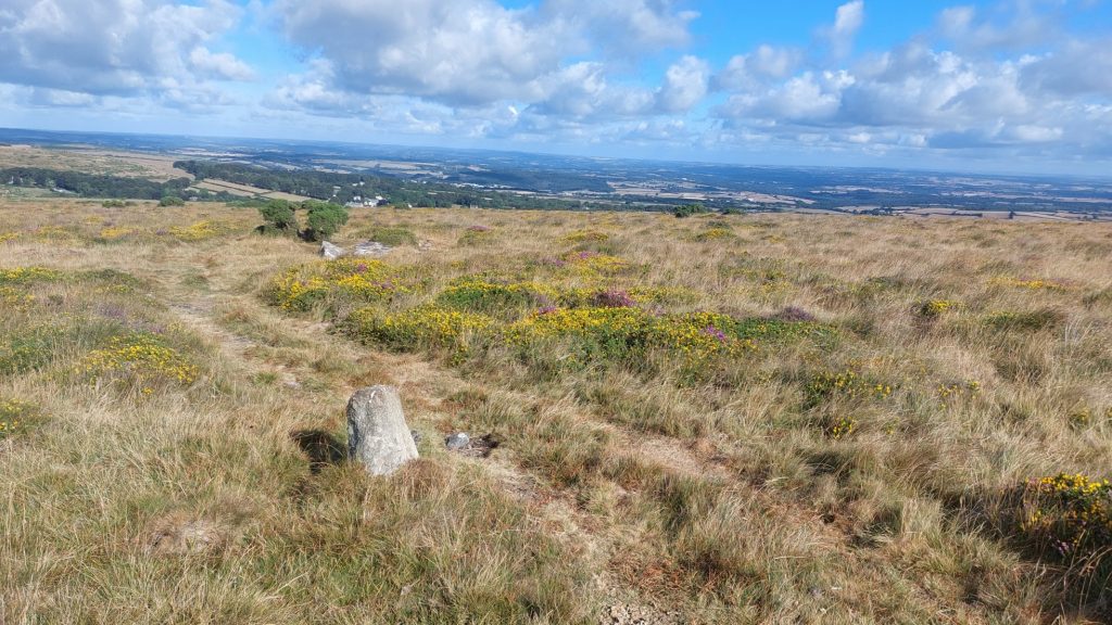
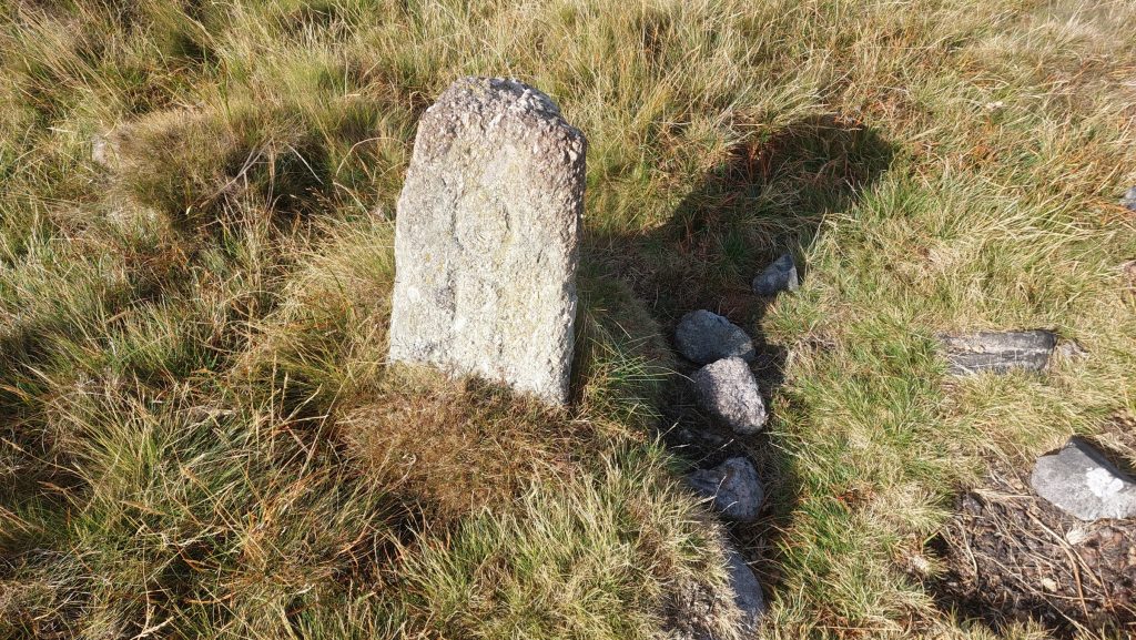
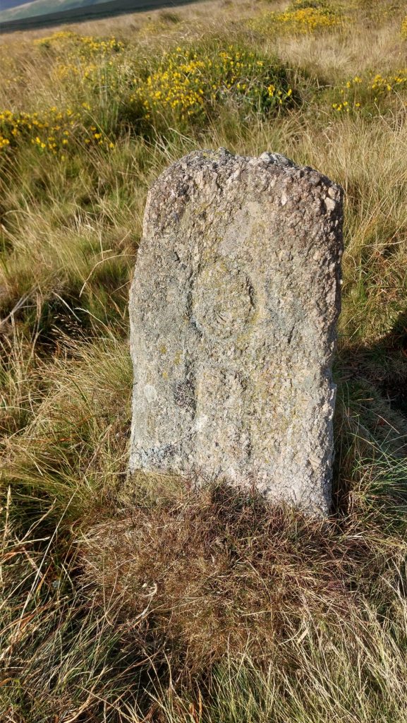
The eastern most stone is located near the 1450ft (440m) contour next to a track and is inscribed ‘OP’, which might suggest Okehampton Parish (or possibly even Observation Post?). This stone is even more of a mystery than the ‘BB’ stone as if it relates to Okehampton then it is a considerable distance from that parish, with the closest point being on Lower Tor at the Southern end of Belstone Common and then this was only since 1987. Prior to 1987 the nearest part of Okehampton parish would have been Cullever Steps on East Okement river. Another consideration is that the Okehampton parish boundary markers are usually inscribed ‘OPB’ (Okehampton Parish Bounds) and not just ‘OP’.
With neither stone being located on any Ecclesiastical, Parish, Common or ownership boundary, their locations and meaning are a true mystery. Through looking at the Devon Historic Environment Record, what becomes clear is that there are numerous other features and artefacts close by. The most obvious are some stone cutters huts, pillow mounds and a vermin trap (the latter two relating to Skaigh Warren), three ancient reaves and a leat running from Lady Brook to Ford Farm. If the inscriptions on the mystery stones are ignored, might these stones represent the southern boundary of Skaigh Warren and the warreners just used boundstones they were able to obtain? Alternatively, could the boundstones mark the extent quarrymen / stone masons were able to take stone from? These are ‘very flakey’ theories at best and the author would welcome any other suggestions. Thank you
Bibliography
Dave Brewer – (2002) – Dartmoor Boundary Markers: And Other Markers on and Around the Moor, Page 46
Eric Hemery – (1983) – High Dartmoor, Pages 831-832
N. Atkinson – (2012) – Inscribed stone(s) on South Tawton Common (Worksheet)
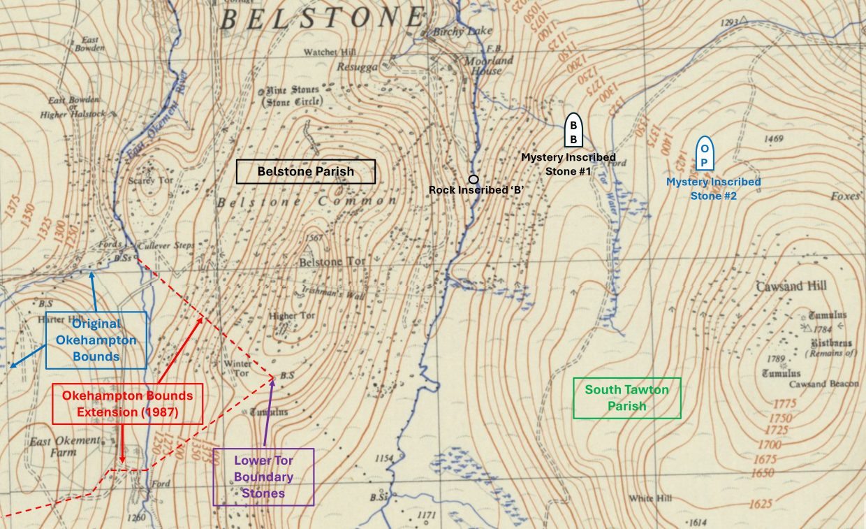
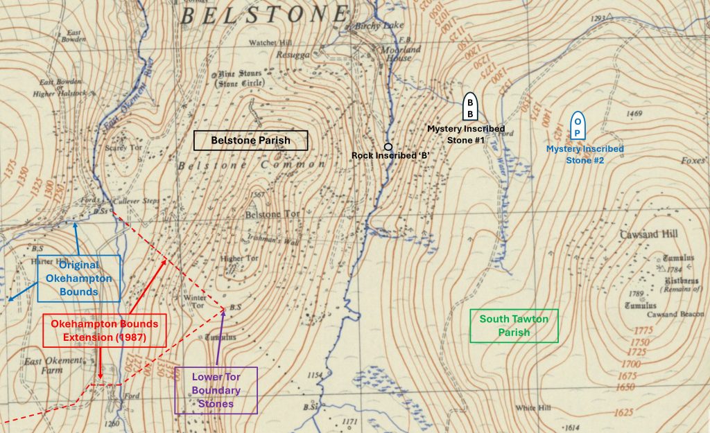
This annotated mid-20th century map shows the locations of the two mystery inscribed stones in relation to Cosdon (Cawsand) Hill and the River Taw. Note the error on the map with Ivy Tor Water which should be correctly annotated at Lady Brook. The Belstone Parish Boundary is between the Taw and the East Okement, the Okehampton Bounds now extend to Lower Tor (since 1987) and South Tawton Parish is east of the Taw encompassing Cawsand (Cosdon) HillMid-19th century view of the parts of Okehampton, Belstone and South Tawton parishes. Both of the mystery boundary stones in this post are located wholly in South Tawton parish. Atkinson (2012) records a third possible boundstone (uninscribed) which is located between the ‘BB’ and ‘OP’ boundstones at SX63108 92580. The author has no photograph of this stone and plans to return in the winter to record more in the area (Skaigh Warren) once the bracken has died down.
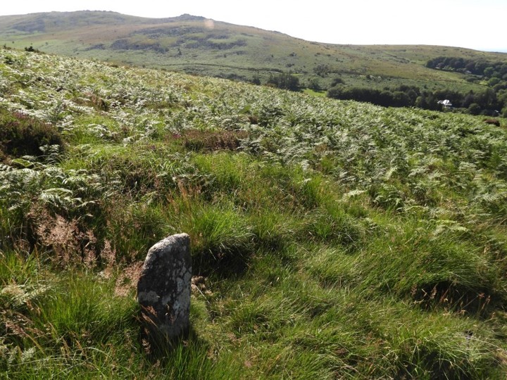
This rough dressed granite boundary stone inscribed ‘BB’ on its north-facing side. It is assumed ‘BB’ might stand for Belstone Bounds. It is located around 20m from Lady Brook (corruption of Lud-a-Brook, recorded in Court Rolls of 1383)
The stone is 0.6 m high and is 0.45m by 0.25 m in cross section. It is located at SX62645 92585
As mentioned by both Hemery and in the Book of Belstone, the style of lettering on the Boundstone is thought to date from the late 16th or early 17th century
On the mid-20th century map in this post, there is a annotated which shows “Rock inscribed B”. One might easily think the ‘B’ stands for Belstone as the rock is adjacent to the Taw. Note : It is only about 500m from the ‘BB’ inscribed mystery boundstone. The author’s research reveals that the great-grandson of a William Brock, (Clifford Pike) believed that the initial “B” on this rock, stood for Brock and it was William who carved it. The benchmark, doesn’t appear on maps referenced by the author. The Brock Rock (name given by the author) can be found at SX62205 92383To the east of the ‘BB’ rock at Lady Brook next to a track (looks like made from an ATV or similar) is the second mystery inscribed stone in this postOn the north-facing side are inscribed two letters, a capital ‘O’ and a capital ‘B’. There might be a ‘P’ underneath the turf. Does ‘OP’ stand for Okehampton Parish. Intriguingly, the inscription on this stone as with the ‘BB’ stone faces north
The dressed granite stone is 0.7 m high with sides 0.4 m. The stone is located at SX63251 92525
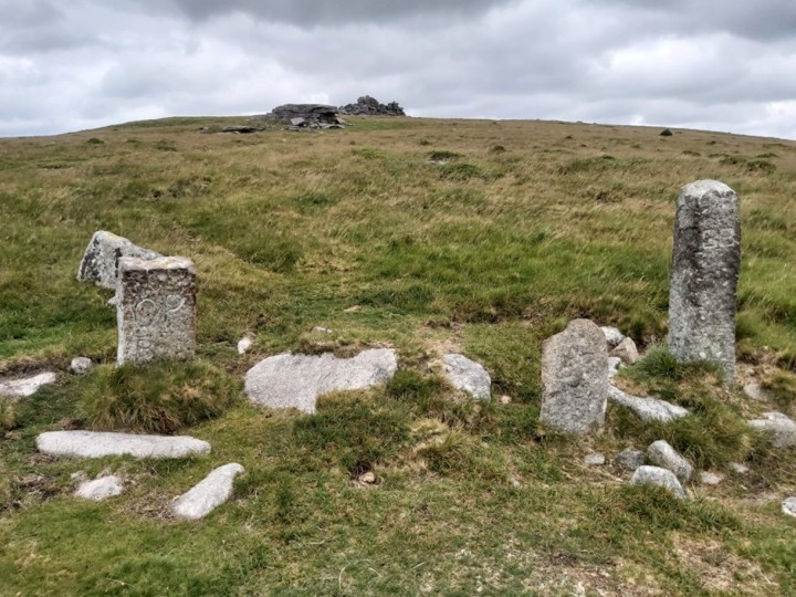
There are two Belstone boundstones ‘BB’ and ‘BB/P’ plus an ‘OPB’ (Okehampton Parish Bounds) boundstone near Lower Tor at SX61244 91484. This is the closest (modern) point of Okehampton Parish to the ‘OP’ stone on the northern flanks of Cawsand Hill
The two Belstone inscribed stones at Lower Tor. The smaller one (assumed older) is inscribed ‘BB/P’ and the taller one ‘BB’
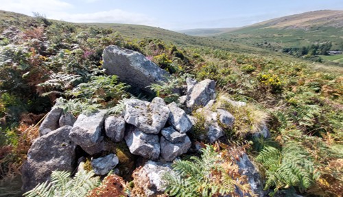
Un-related to the boundstones, there are several rock ‘shelters’ in the area, which the author plans to investigate further once the bracken has died down. The structure in the picture is located at SX62556 92805
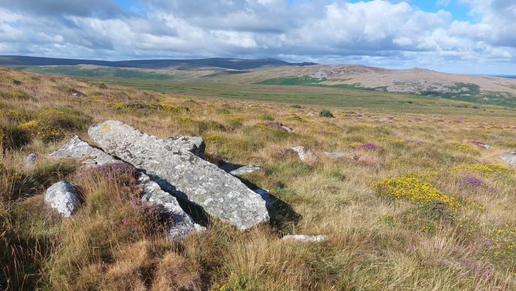
Also, un-related to the boundstones, is this large split rock at SX63330 92436