A collection of walks, discoveries, insights and pictures of exploring Dartmoor National Park
August 17, 2026
Glaze Brook Bridge
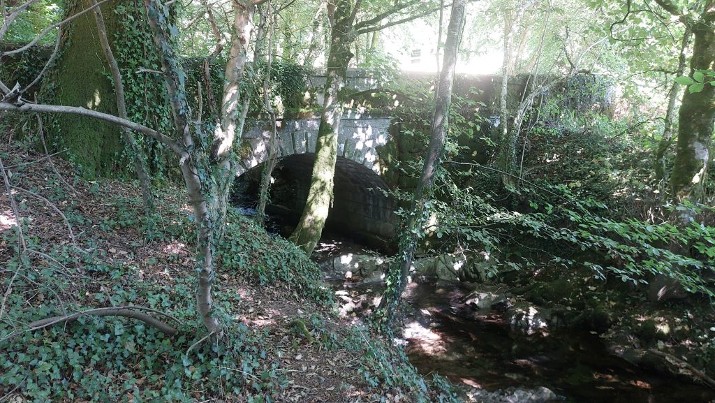
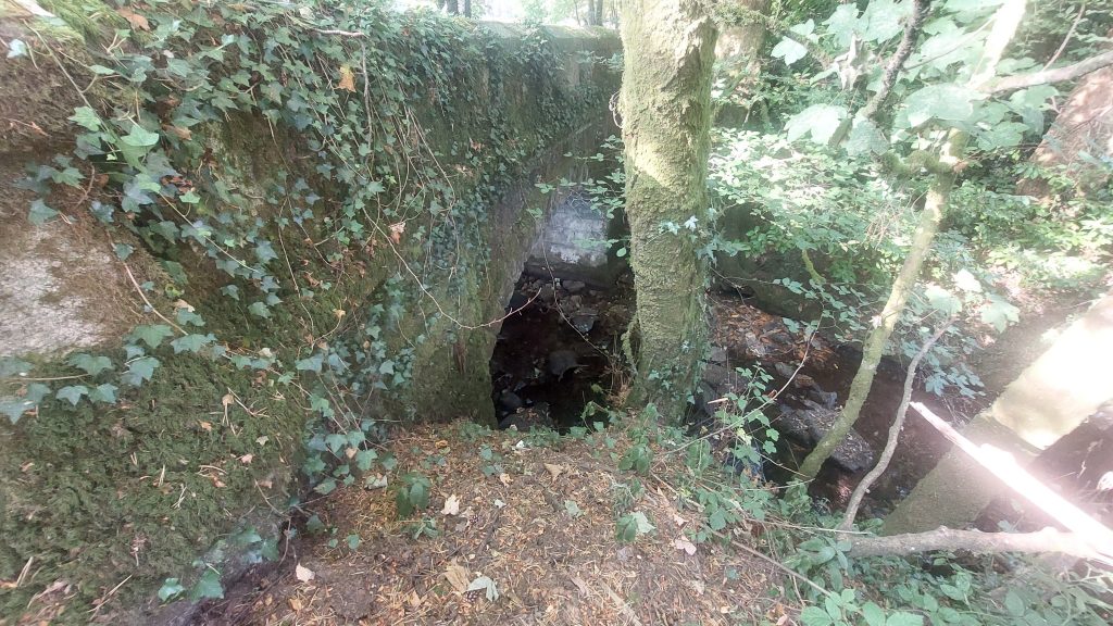
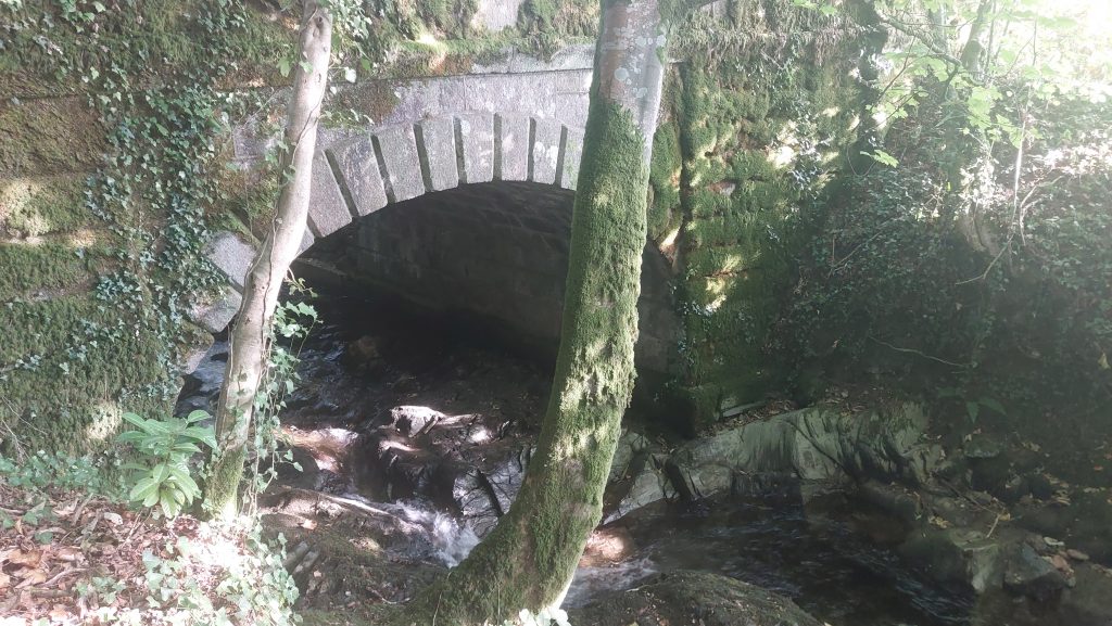
The road bridge over Glaze Brook is located approx. mid-way between South Brent and Cheston and lies on the parish boundary of South Brent, which follows the water course. To the south is the modern A38 Devon Expressway. In 1755 the bridge carried the old Exeter-Plymouth turnpike road. Indeed a toll house can be found where the road enters South Brent.
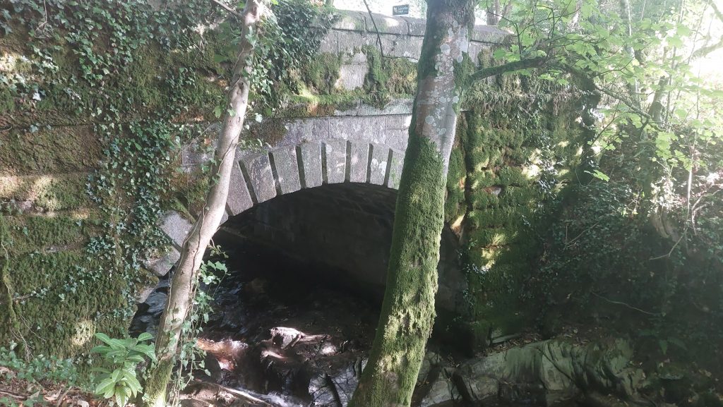
There is believed to have been a bridge at this location since since at least the 13th century. The bridge was adopted as ‘county’ bridge in the 18th century with the earliest dated mention of this being 1787. The bridge was rebuilt following a report in July 1809 by the then county engineer, James Green. The bridge remains as it was then.
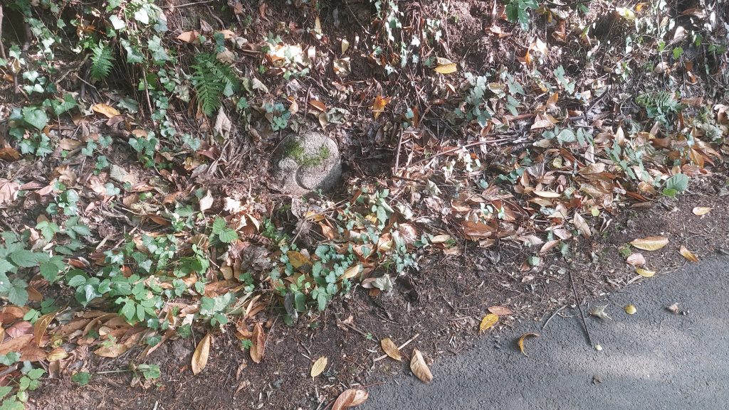
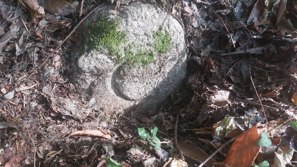
Bridges either constructed by the county, or taken over and therefore maintained by them and sited within the county of Devon would have had a set of two ‘C’ stones erected on either side of the bridge. Both stones are thought to have been sited here c.1841. This bridge has both its two ‘C’ stones still extant after nearly 200 years
Bibliography
R. Robinson – (1978), South Brent (Worksheet). SDV160163.
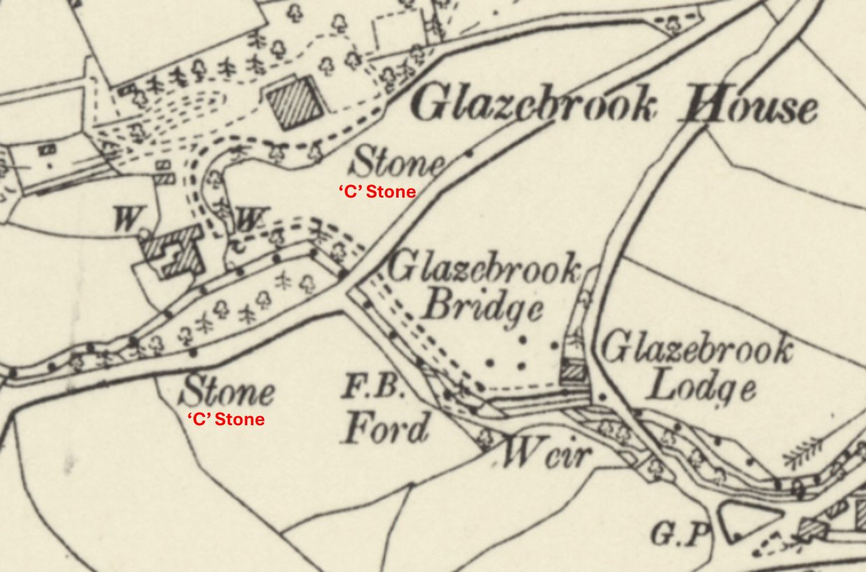
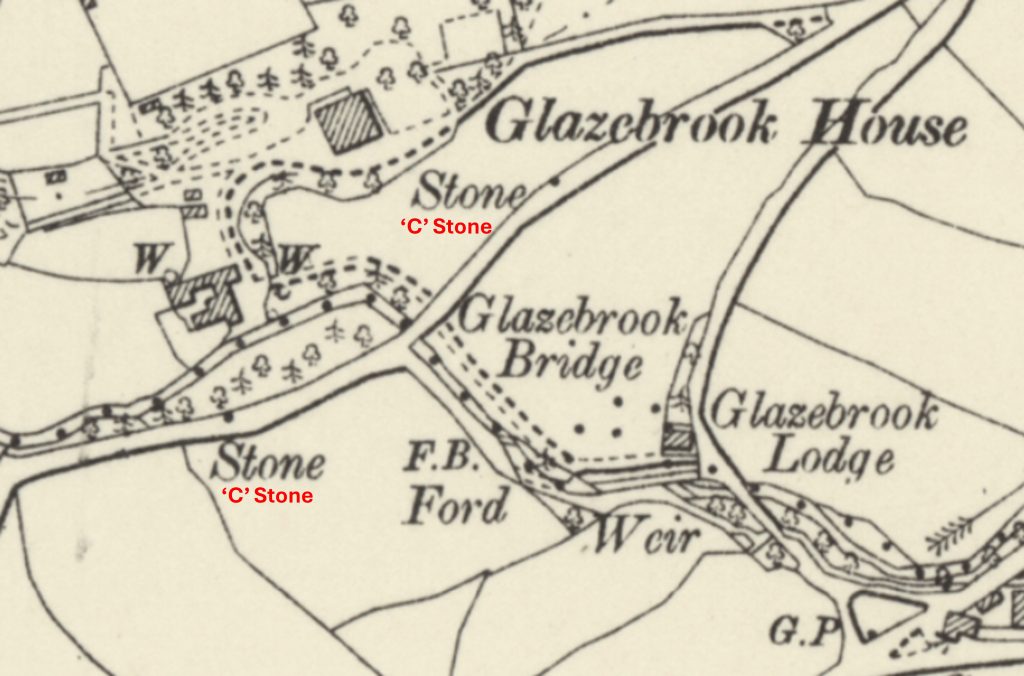
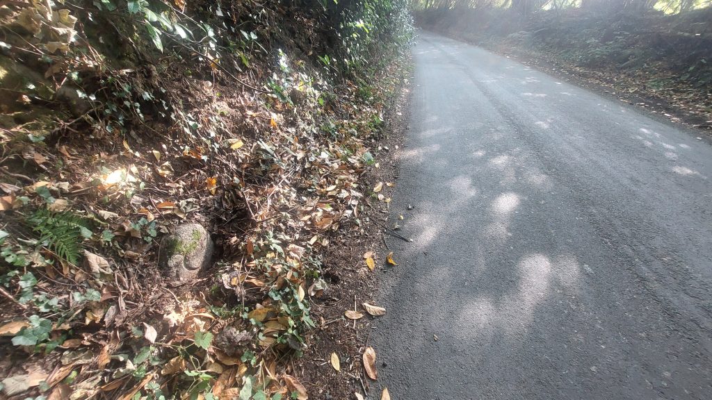
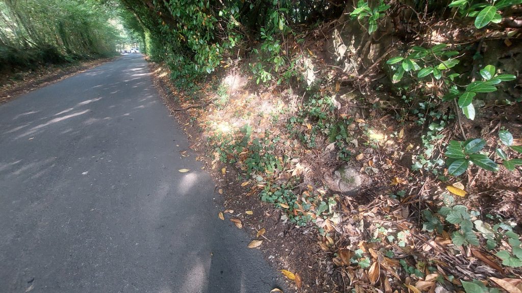
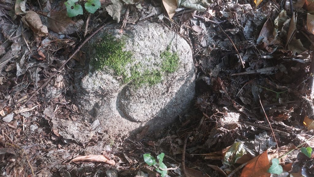
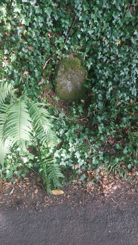
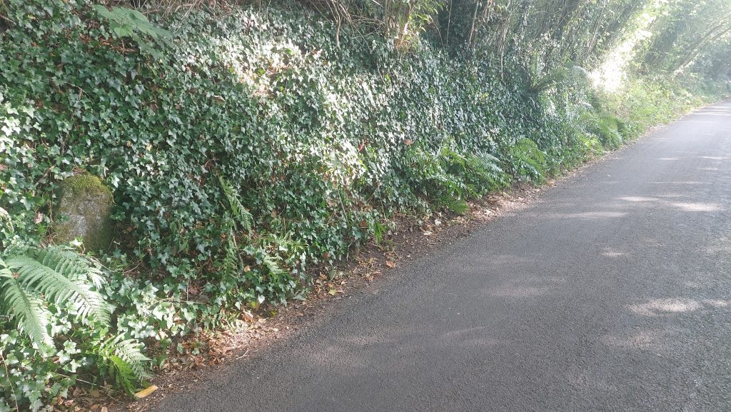
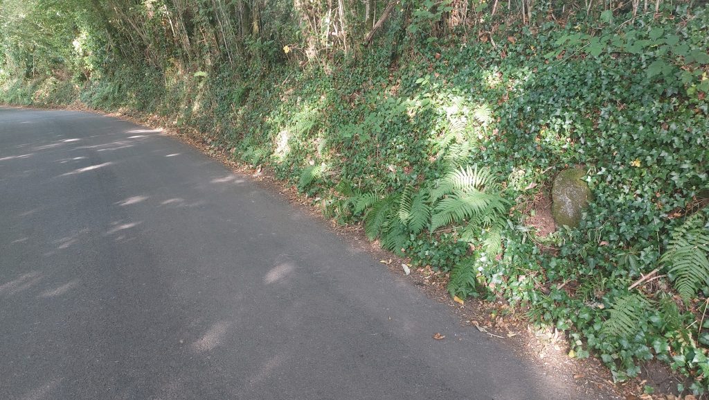
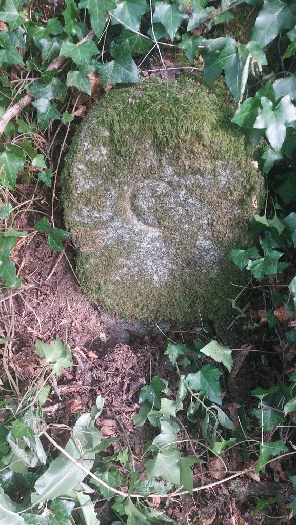
Glaze Brook Bridge and its environs annotated onto a 19th century map. The two ‘C’ stones clearly shownThe span is of the bridge is around 5 metres, and the width of road between parapets is around 5.5 metres. The 1809 bridge is a single arch, segmental, with stone parapets. The 1809 specification for the new bridge stated that the bridge shall “Consist of one elliptical arch of 16 feet span and rising 5 feet from the springing thereof. And that the roadway shall be 18 feet wide between the parapet walls. The stone shall be the best fine grained moor stone fine dressed and square jointed and laid in perfect horizontal and parallel courses and that the bed joints and abutments of the wing walls shall be rusticated. The parapet is to be 3 feet 6 inches high” (ref: Robinson – 1978).Robinson (1978) records the details of the 18th century James Green’s report on the state of the bridges. The second general survey report of 11th July 1809, states that many bridges had been damaged in recent floods. “Glaze Brook, South Brent. This bridge situated on the great road between Exeter and Plymouth has been so much injured or rather is so much decayed and broken up, that it has been found necessary to erect a temporary bridge until the opinion of the magistrates with respect to rebuilding it be known”. Upstream view of the bridge James Green first report dated 10th January 1809 paragraph 180 stated: “Glaze Brook, South Brent. One arch of 14 feet span, walls extending about 40 feet on each side built and coped with rough granite. Roadway about 10 feet graveled (sic). All in good repair. This bridge, for so great a road as that between Exeter and Plymouth is too narrow and the parapet walls very low and dangerous; it has however answered the purpose many years and may continue to do so yet”.The western ‘C’ Stone located around 80 metres from the bridgeClose up of the western ‘C’ stone. The picture was taken early on a Sunday morning in August with the light conditions just about perfect to provide a neat shadow of the inscription.Contextual location of ‘C’ Stone looking towards the bridgeContextual location of ‘C’ Stone looking towards ChestonThis ‘C’ Stone is located at SX68970 59009The second ‘C’ Stone is around 80 metres east of the bridge
‘C’ Stone close up
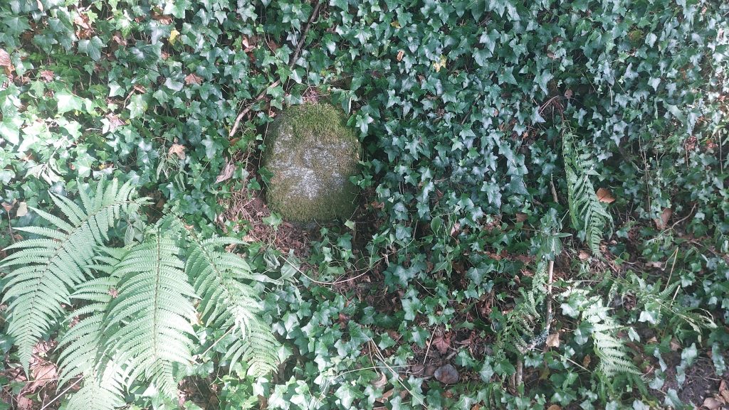
Contextual location of ‘C’ Stone looking towards South BrentContextual location of ‘C’ Stone looking towards the bridge
This ‘C’ Stone is located at SX68115 59111
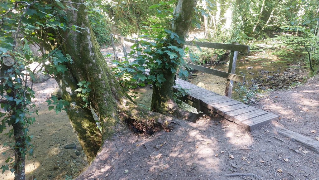
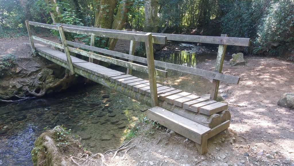
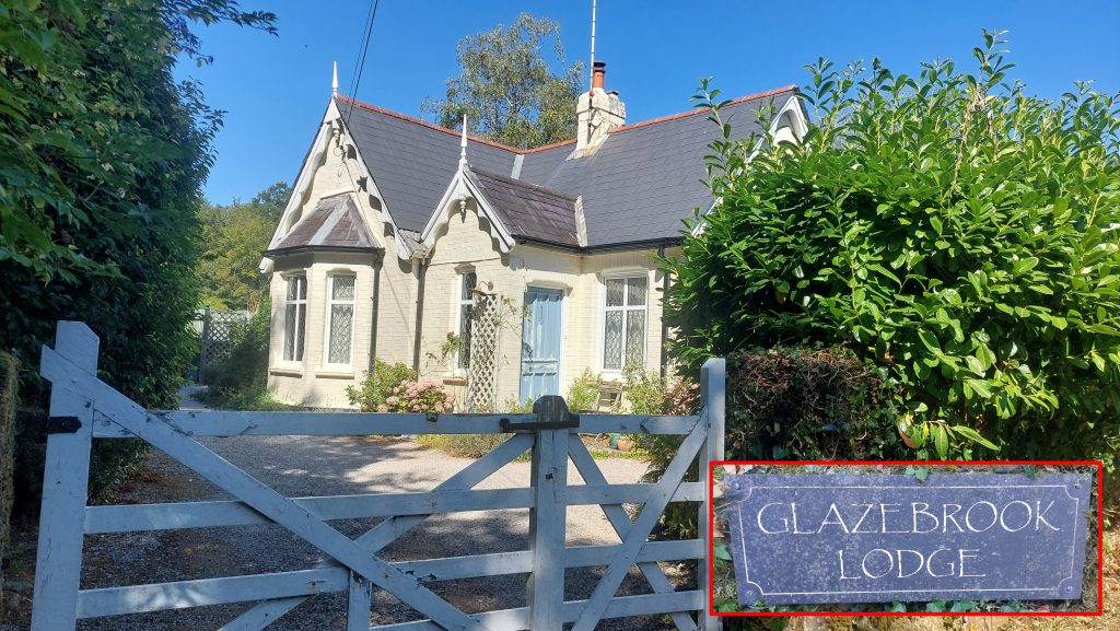
Footbridge downstream from Glaze Brook main bridgeThe centre of this footbridge is located at SX69092 58993Glazebrook Lodge between the bridge and the A38 Devon Expressway