A collection of walks, discoveries, insights and pictures of exploring Dartmoor National Park
November 1, 2026
Frog (or Froggy) Mill
Frog (or Froggy) Mill is an ancient grain mill site which lies on the boundary of Throwleigh and South Tawton parishes. The mill is through to have originally been the manorial mill of Aysh (or Ayshe or Ash), the former manor house being located at East Ash around 500m to the north east.
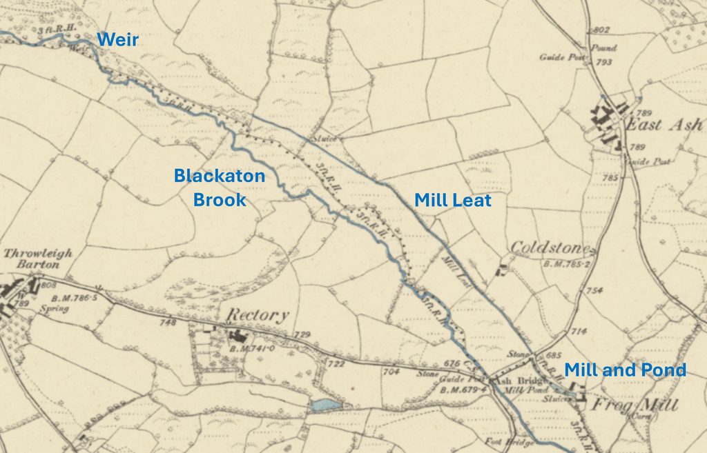
The mill was powered by a mile-long leat from the Blackaton Brook, from a weir located to the north west. The mill is known to have been operational in 1540 (ref: Bodman). It is highly probable that the mill (amongst others in the area) was subject to a court case over water rights in the late 17th / early 18th century with the tin miners of Bradford Pool (near Spinsters Rock), whose water from their leat was redirected by the mill owners, around the time of the English Civil War when the tinners’ had ceased their operations for a number of decades.
The mill is documented as for sale at auction in 1860. Records show that the mill was then repaired around 1863, 1872, and 1879. 19th century maps indicate there were at least 4 buildings, all of which were roofed thus suggesting that the mill remained in use to the end of that century. It is thought that by 1901 it had probably ceased working; it is known that by 1909 the waterwheel and millstones were up for sale; the land and the mill stream were sold two years later.
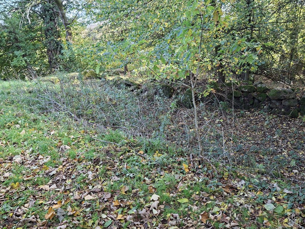
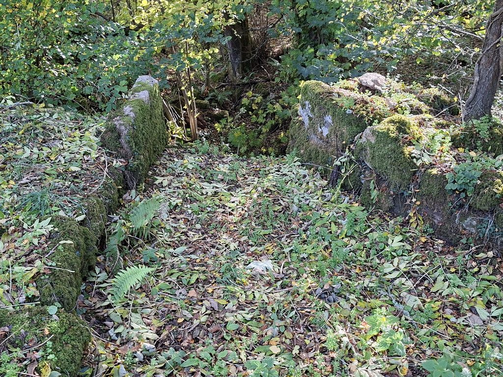
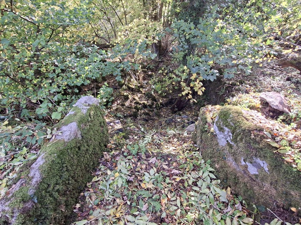
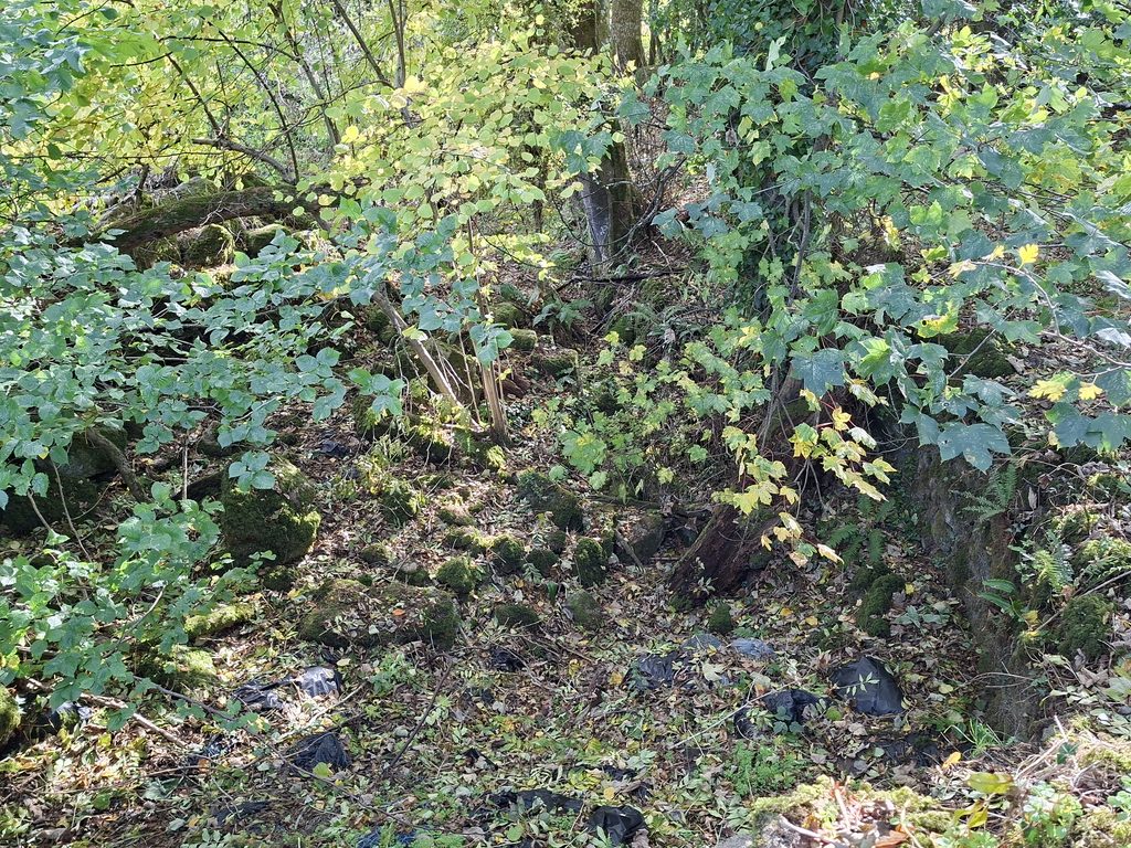
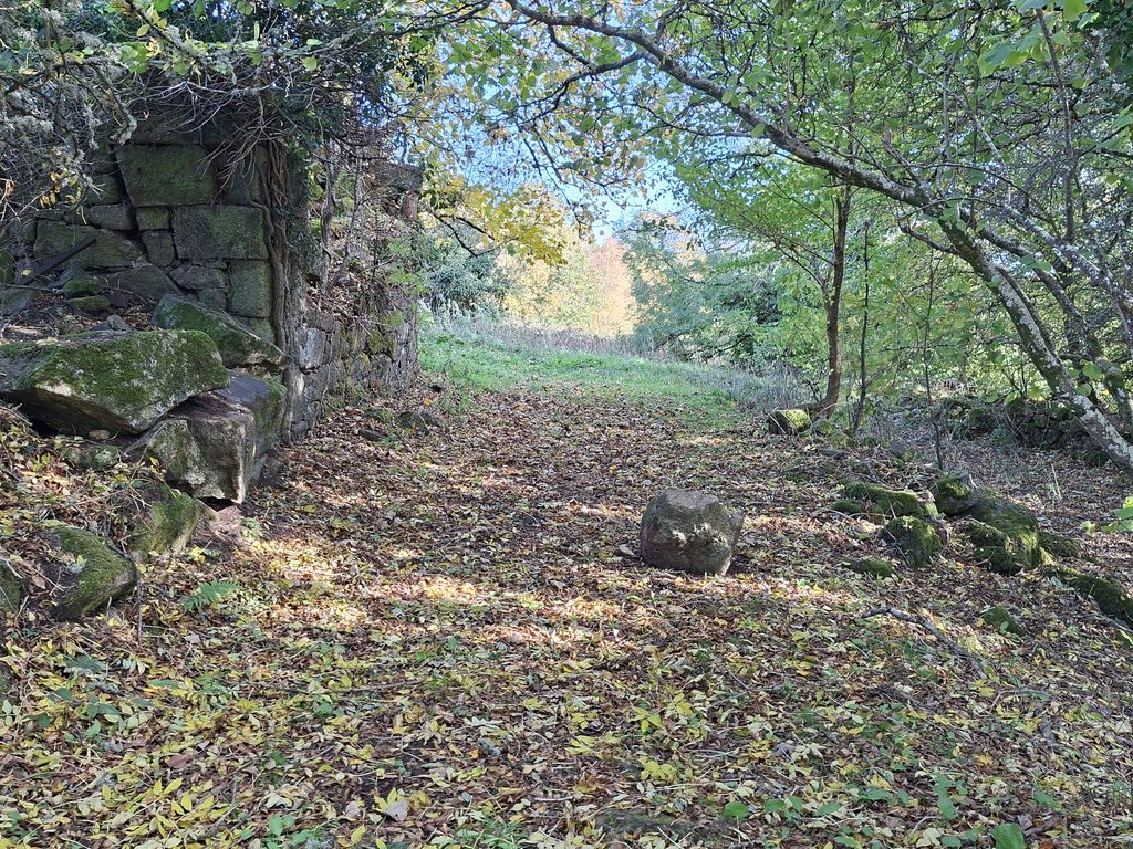
Into the 21st century, there is a public footpath which runs through the ruinous remains of the mill site. To the modern observer, the now dry mill pond is an obvious feature as is a sluice which would have fed an (probable) overshot waterwheel which powered the millstones.
Bibliography
M. Bodman – (2015) – Mills on the Teign. A gazetteer of water-powered sites on the Teign and Bovey and their tributaries,
Historic England – (2019) – National Heritage List for England (National Heritage List for England). SDV362730.
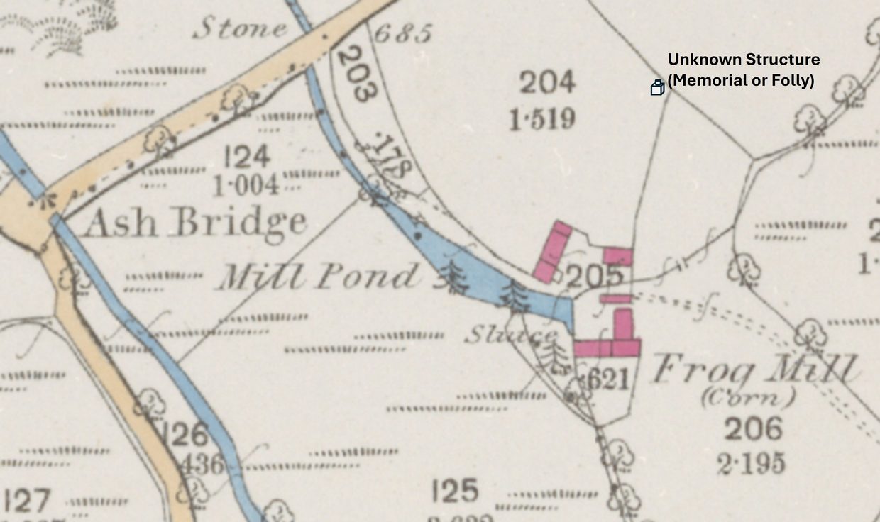
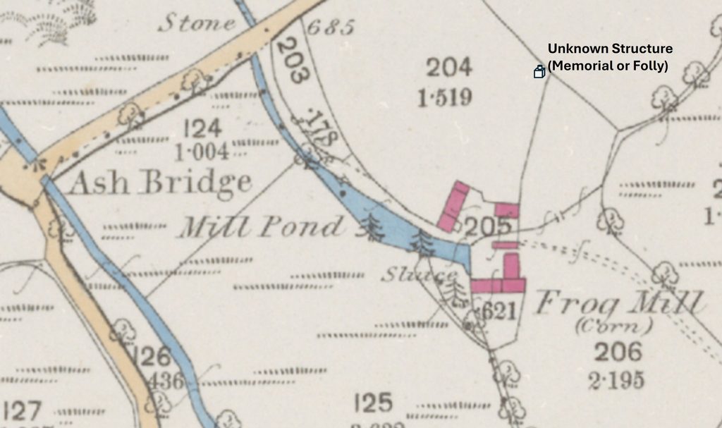
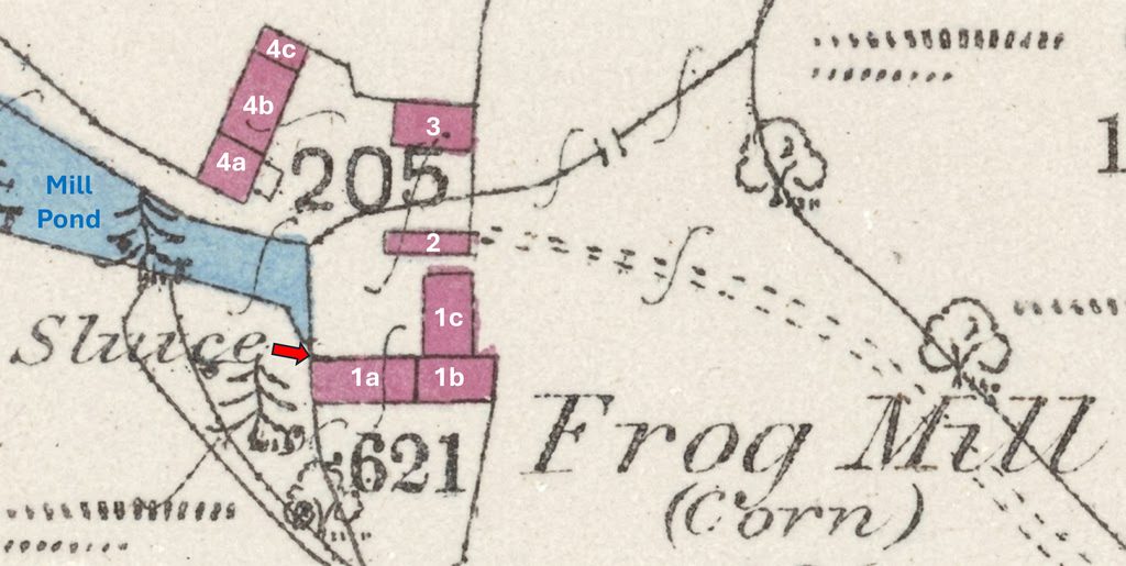
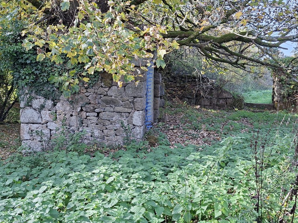
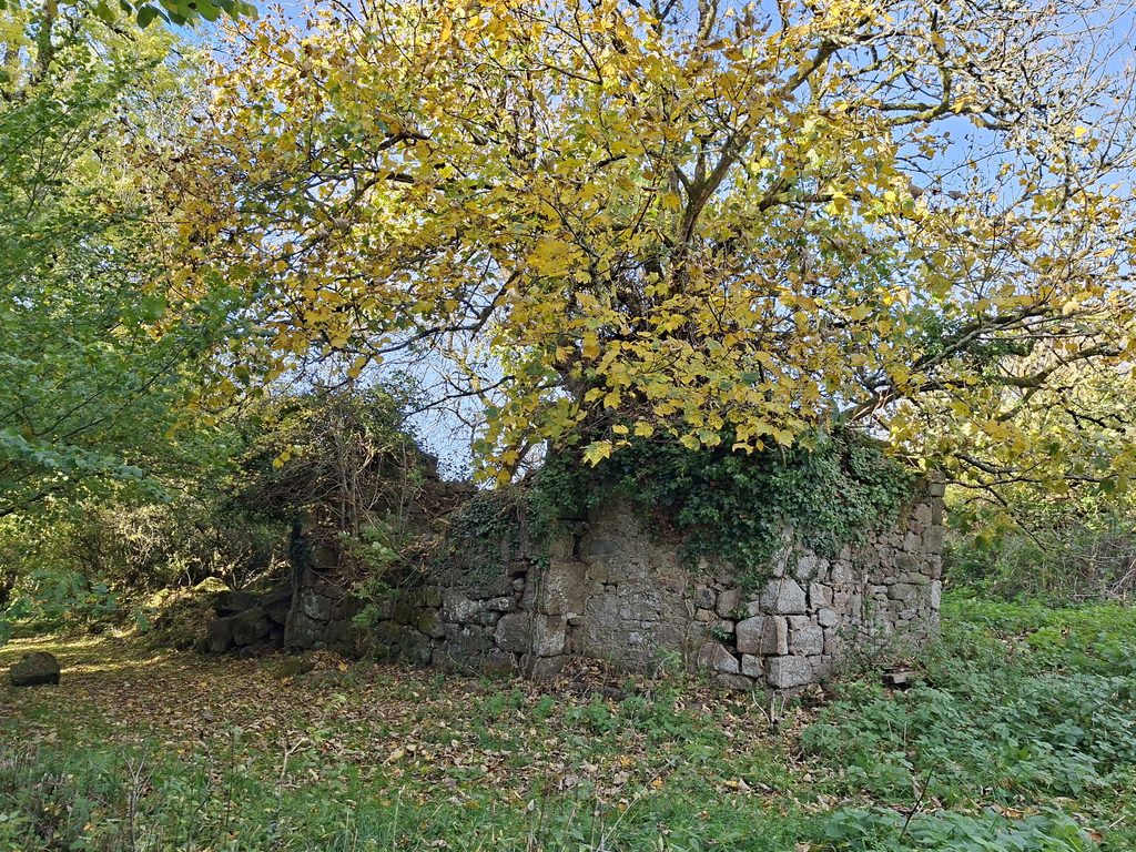
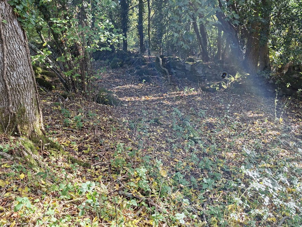
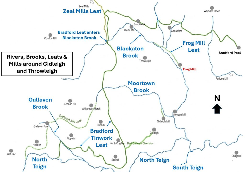
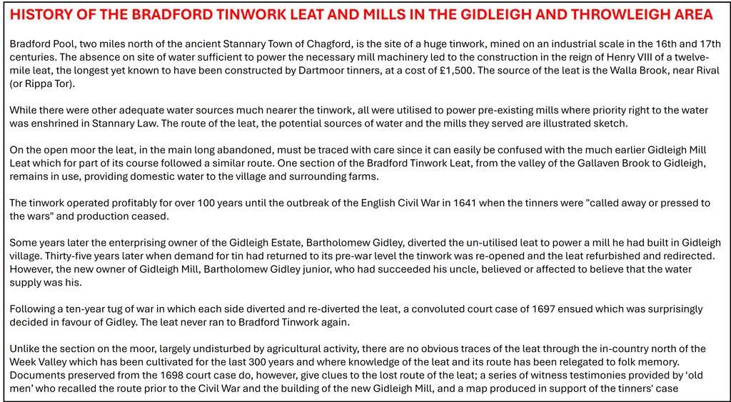
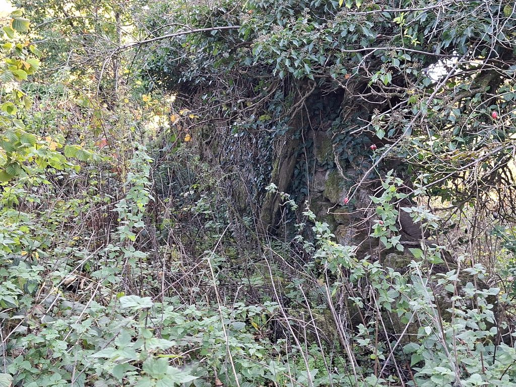
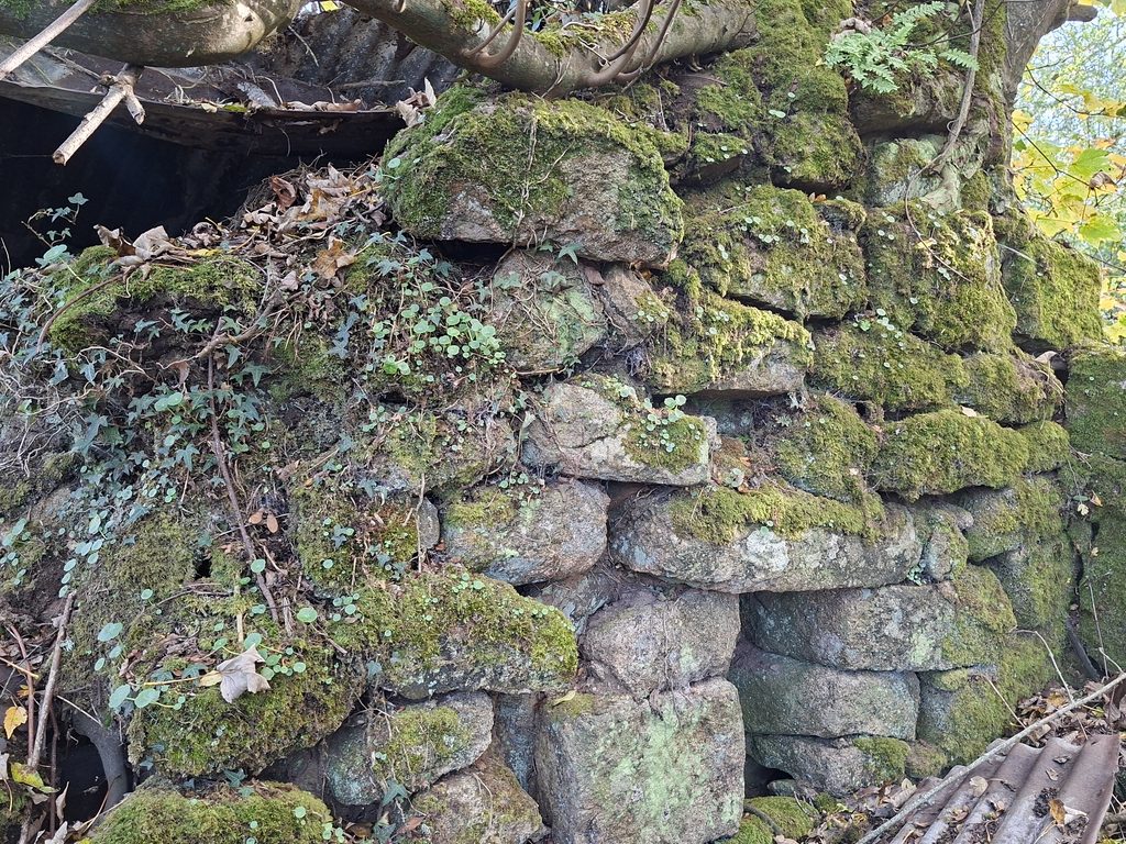
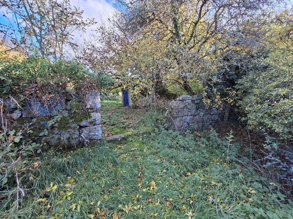
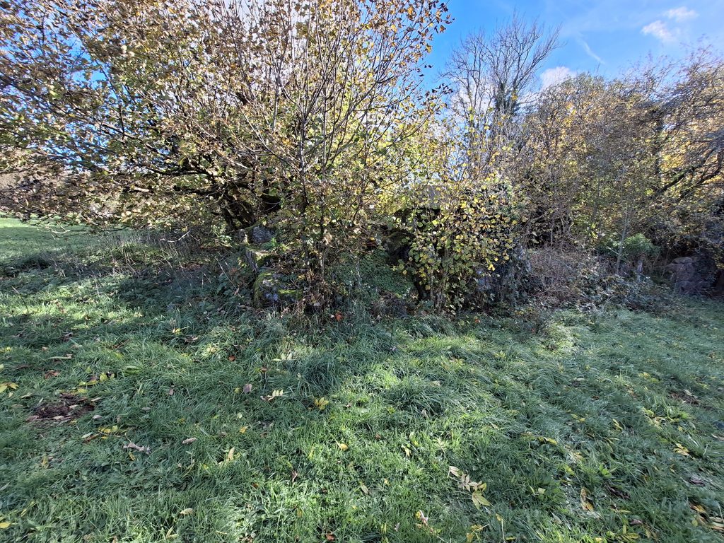
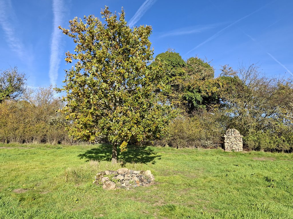
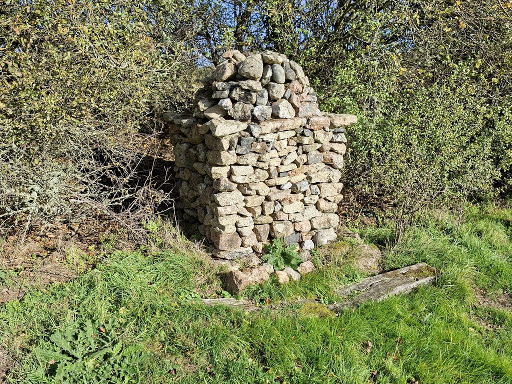
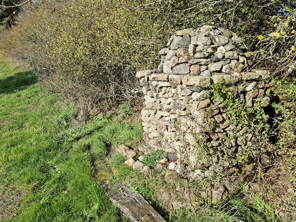
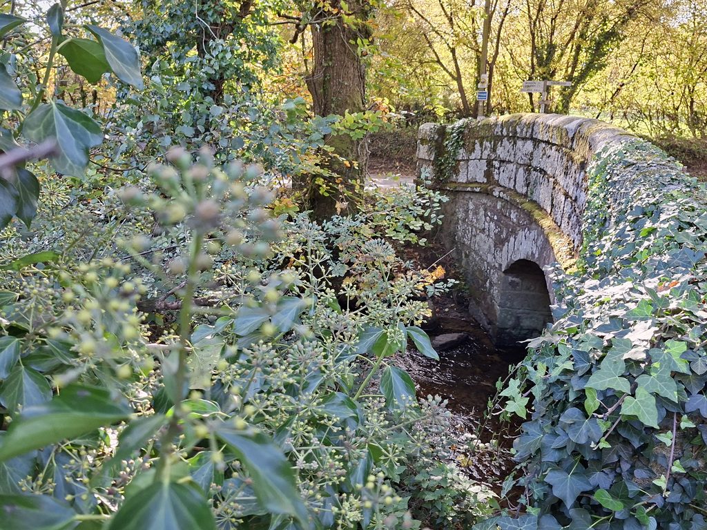
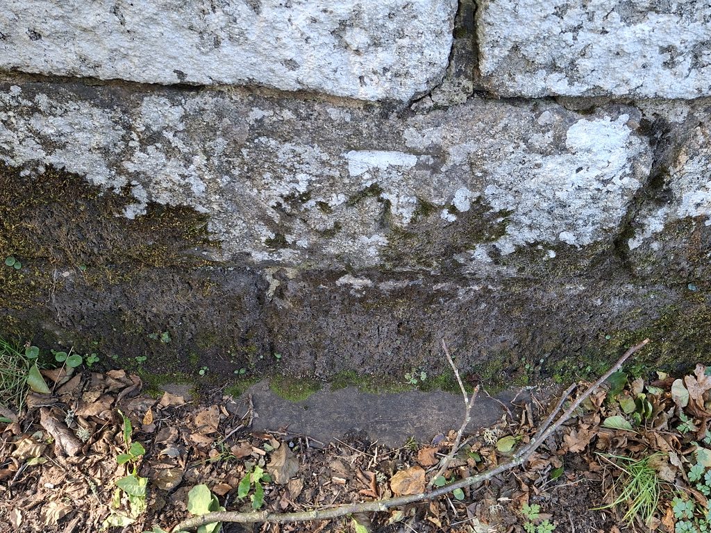
Frog Mill marked as a Corn Mill on this 1886 OS map (surveyed 1883/84). Note the 4 ‘blocks’ of buildings which are coloured pink to indicate they were roofed. There is a Mill Pond and a Sluice shown at the site. Ash Bridge over Blackaton Brook is located nearby which connects to the Throwleigh / Wonson road. Annotated on the map is an unknown structure which the author has labelled as a Memorial or Folly.The 4 mill buildings as annotated 1a,1b,1c,2,3,4a,4b and 4c are referred to in this post. Buildings 3 and 4 have best survived into the 21st centuryThe most obvious ruin at the Mill is Building 4a. Being higher than the leat and mill pond, one might assume this was part of possible living accommodationThe public footpath passes to the south of Building 4a. The structure has at least 10 courses tall. The mill was powered by a mile-long leat from the Blackaton Brook, from a weir located to the north west. East Ash (former manor) is located to the north east, Throwleigh Barton is located to the west. The map dates from early 20th centuryEast Ash is now a farmhouse and other dwellings and is thought to have probably been the site of the old sub-manor of “south tawton alias ayshe”. Frog (or Froggy) Mill would have originally been the manorial mill Back to the mill site. The large (now dry) Mill Pond dominates the sceneThe Mill Pond has a wall on its southern boundaryAt the end of the Mill Pond is an obvious Sluice at SX67948 90540Overlooking the sluice, the remains of Building 1a (rock tumble) can be seen. This is where the overshot Waterwheel would have been locatedLooking south, close up of the rock tumble of Building 1a. The author did not descend down as there wasn’t an obvious safe route. To the right a wall can be seen which must’ve been the west end of Building 1a. Building 4a on left (north) and Mill Pond right (south). The course of the public footpath is between the twoA wider view of the water courses and mills in the area provides an appreciation of the how precious water power was. Frog Mill used the waters of Blackaton Brook. Week Mill (now Mill Farm) and the Zeal Mills also appear to have used this water (as did Wonson Mill downstream). The head of Blackaton Brook is at Raybarrow Pool and it flows through Shilley Pool and under Payne’s Bridge. Of note is that the Bradford Tinwork Leat, which starts at Gallaven Brook (near Rival or Rippator) is located in the area and it used a very small section of Blackaton Brook on its tortuous route. It was this leat which was subject to the comvoluted court case towards the end of the 17th century. The reason why the tinners’ constructed their leat was due to the absence on site of water sufficient to power the their processes at Bradford Pool. The twelve-mile long Bradford leat is the longest yet known to have been constructed by Dartmoor tinners. The tinners’ were unable to use other adequate water sources much nearer the tinwork as all were utilised to power pre-existing (granary) mills. This is evident from the attached sketchThe history of Bradford Tinwork Leat as written by M.W. Moss in 2017 in Dartmoor Tinworking Research Group (DTRG) Newsletter 53, pages 11 – 13. Although not directly stated, the author believes that the mill owners at Zeal, Week Mill, Frog Mill and Wonson Mill would have used the waters of Bradford Leat (from circa 1641) but ‘blocked’ the course where the tinners’ leat would have once flowed through East Week and passed Gooseford enroute to the Bradford workings. Bodman (2015) implies this.Back to Frog Mill. This is Building 3 , which is engulfed in vegetation. Was this a possible store ?Part of Building 4a with a small access door. North west side of Building 4North west corner of Building 4To the north of the Mill is a small (purposely placed) cairn of rocks by a tree. Beyond is as structure, which the author has labelled as a folly. It is possible that the rocks here were all part of a field clearanceThis is a solid structure, which appears not to have any practical purpose. It is very well constructed with a lovely square base and dome top. It is about 2m tall The structure is located at SX67958 90612Ash Bridge across Blackaton Brook providing access between Throwleigh and Frog / Froggy Mill. The brook was once known as Lovebrook (perhaps from Ludbrook or Loudbrook). The mill would have pre-dated this structure, albeit there might have been a predecessor. Historic England date this bridge from circa 1830-40. Their description is : “Rusticated granite ashlar. Small single span bridge. The plain vault is a segmental arch springing from vertical abutments. There is a plain dripcourse projecting at road level which ramps up towards the centre. The parapet has rounded coping and curves at each end with small terminal piers” Ash Bridge must have been relatively new when this Benchmark was carved. It is south-east facing on the north west side of the bridge. Reference is B.M. 0679.4. It is located at SX67774 90584