A collection of walks, discoveries, insights and pictures of exploring Dartmoor National Park
October 9, 2026
Clampitt Farm
The historic farmstead of Clampitt in the parish of Christow is thought to date back to the early 13th century, according to documentary evidence. In 1219, it was documented as “La Clampitte” (Feet of Fines – historical English legal document) and in 1333 as “Clampytte” (Lay Subsidy Rolls)*. During the 14th century the place name appears to have been adopted by the family living there who became known as the Clampitts. The name Clampitts seems to occur in the later court rolls and there are numerous entries into the 16th century.
Clampitt means ‘muddy hollow’, which might derive from from the old English terms “cloeg” and “pytt” meaning “clay” and “hollow”. Is it possibly there was once a small deposit of clay here?
By 1669 there was a Quaker** community at Clampitt, and the farmstead became a Quaker meeting place and a number of them were buried in a Quaker burial ground in a nearby field. The owner of Clampitt at this time was Ellis Tuckett or ‘Elies Tockett’ (who was apparently jailed for being a Quaker, although this is unconfirmed). Tuckett is said to have been the first to be buried at Clampitt when he died in 1687. Around 20 burials are said to have taken place with the last registered at Clampitt in 1732. When the Tuckett family moved away from Clampitt, the Quaker association with the farm ended.
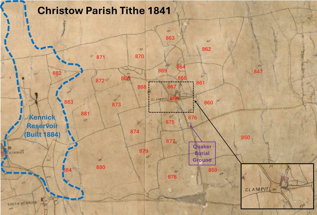
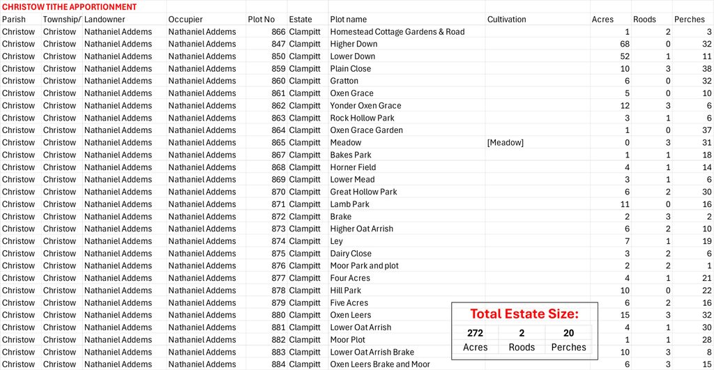
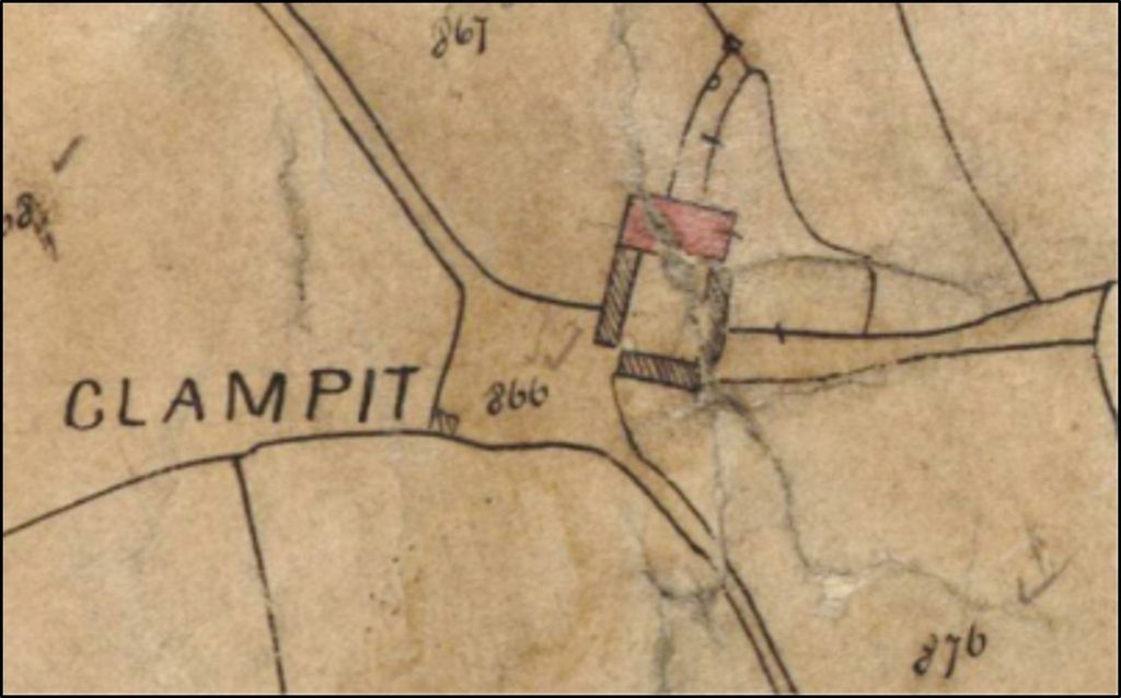
On the Christow Parish Tithe Map of 1841 the farm is depicted as ‘Clampit’ farm comprising a rectangular farmhouse to the north of the site, with three other buildings. The farmstead at this time (according to the associated Tithe Apportionment) was around 272 Acres and extended as far west as ‘Kennick’ Farmstead, where Kennick Reservoir was constructed in 1884. Due to its construction of the reservoir, it seems that farming at ‘Clampitt’ ended as in 1897 the farm was compulsory purchased by the Corporation of Torquay after concerns in Torquay over water contamination, albeit the farmhouse was still standing in 1899. In the Western Times on 21st April 1899, selling of items relating to Clampitt Farm was published with the auctioneer Mr. A lovey auction notice, announcing “instructions of Mr. William Addems to sell a Threshing Machine and most useful collection of farm implements and furniture”
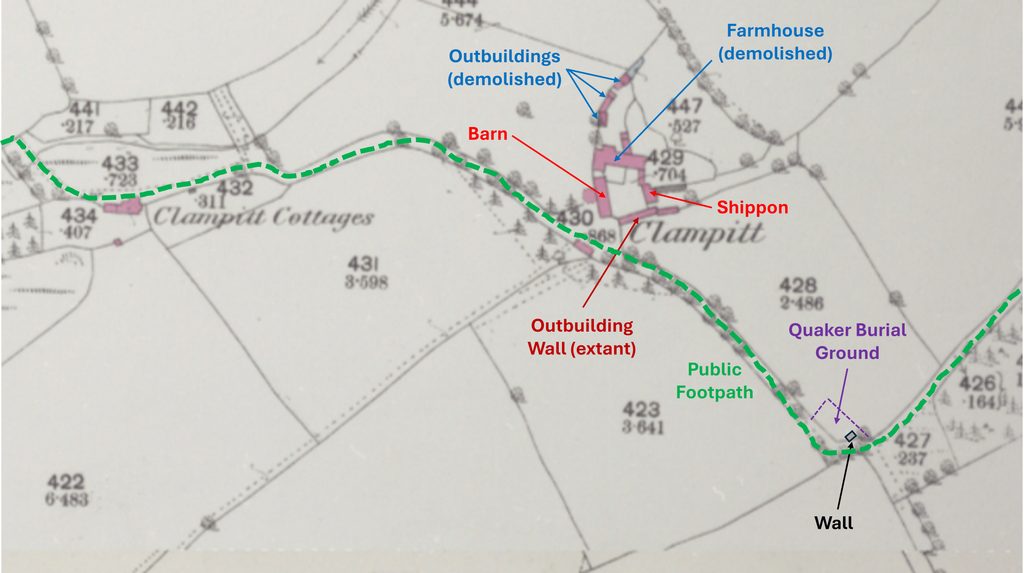
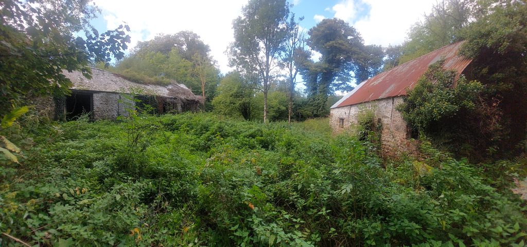
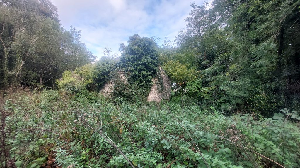
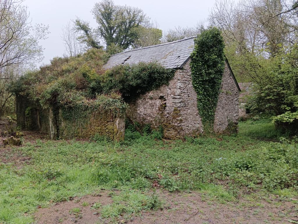
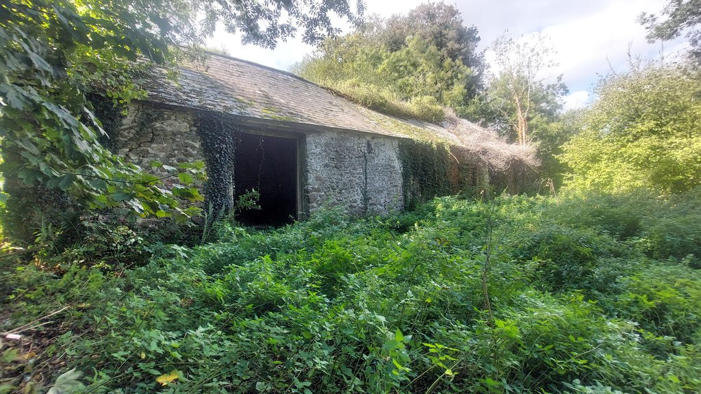
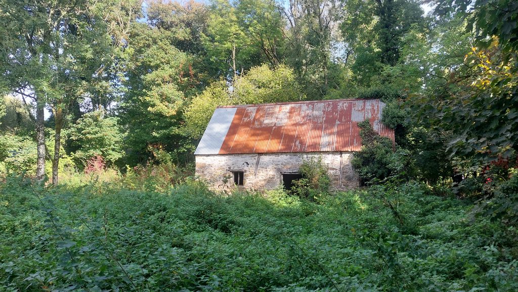
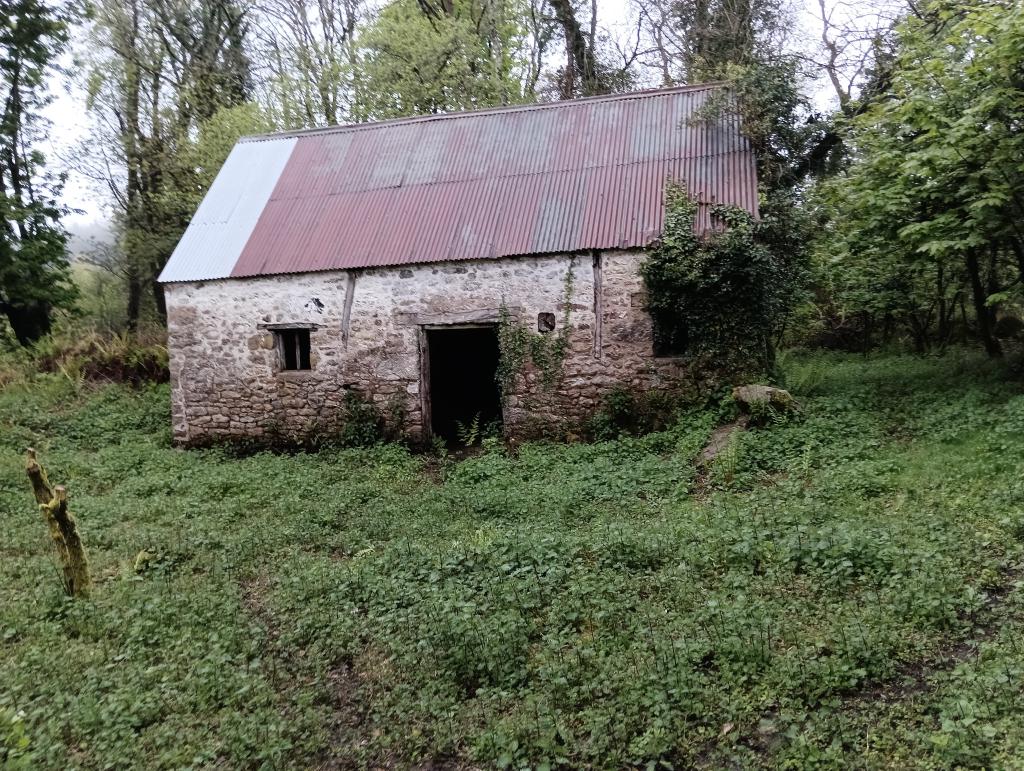
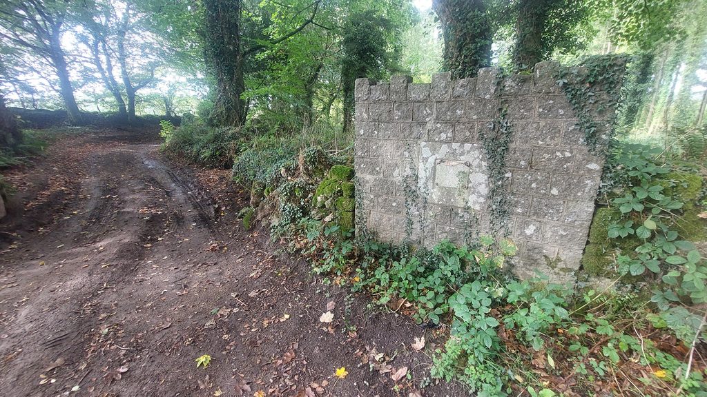
Today, all that remains is an old Barn and an old Shippon, both of which have new(ish) roofs. There is also the remnants of a third building (wall only) on the southern side of the former farmyard. There is also a modern wall at the southern boundary of the former Quaker burial ground, which until a few years ago still had a sign attached to it informing any visitor of the history there.
*These names, dates and references from ‘Legendary Dartmoor’.
**Quakers are members of the Religious Society of Friends, a Christian movement that began in England in the mid-1600s. Quakers believe that everyone can experience God directly, without priests, rituals, or formal sacraments. They often call this the “Inner Light” — the idea that there’s something of God in every person (ref: Dartmoorwalking.org)
Bibliography
English Heritage – (2011) – National Heritage List for England (National Heritage List for England). SDV347072
F.W.Dymond – (1899) – Society of Friends Trust Property within the County of Devon (Monograph). SDV347642.
Dartmoorwalking.org – The Clampitts Walk
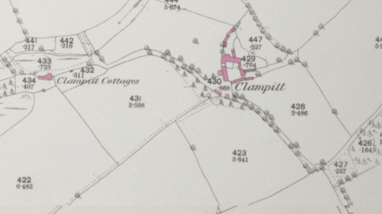
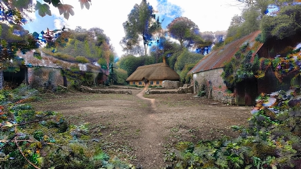
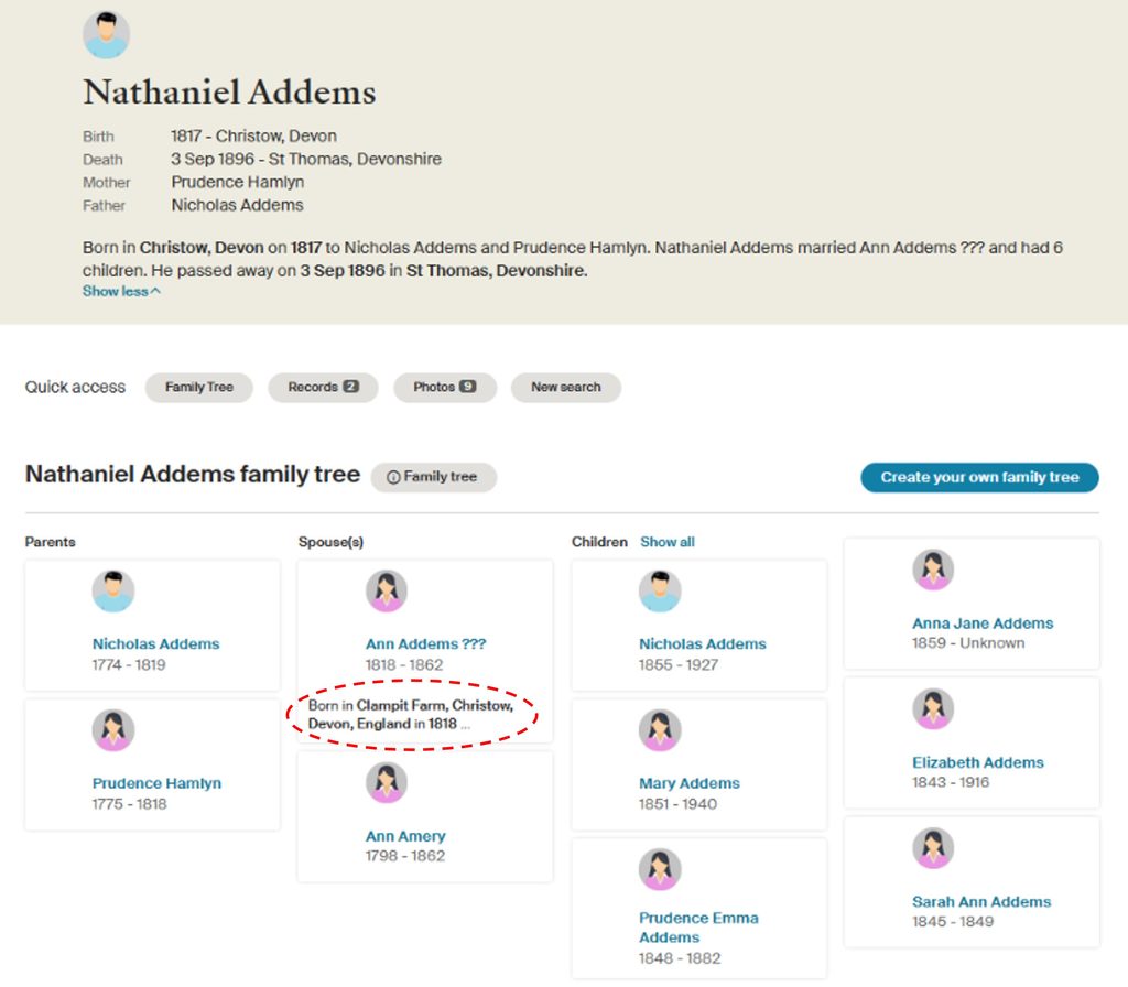
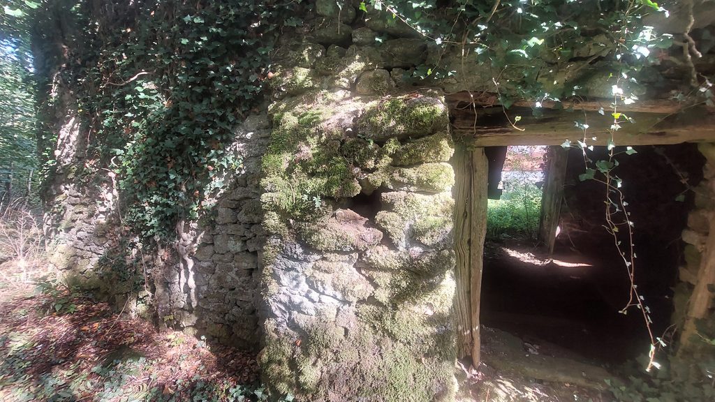
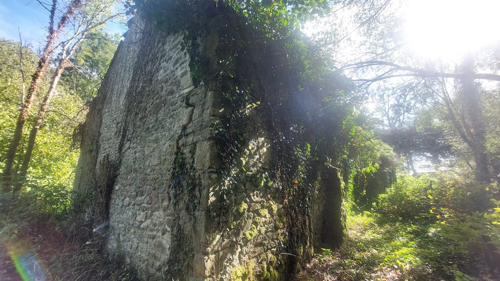
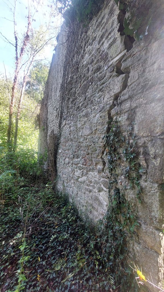
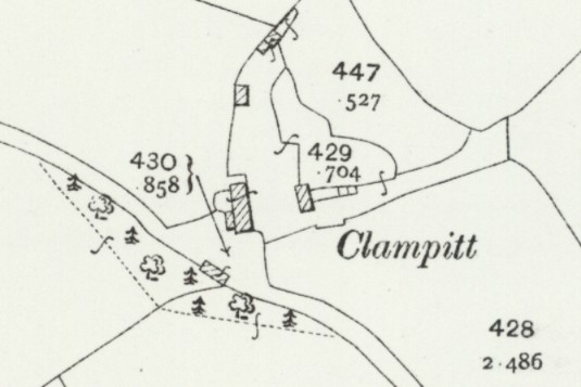
This annotated Tithe Map indicates the relative location of Clampitt (Clampit) in relation to Kennick Reservoir, which was constructed 43 years after the map was published. The Tithe Map shows a small enclosed area in the south-western corner of the field 876 south of Clampitt which was used as a Quaker burial ground. The Tithe Apportionment indicated that in 1841, the farmstead was owned by Nathaniel Addems and it was 272 Acres, 2 Roods and 20 Perches (just over 110 Hectares)In 1841, Clampitt appeared to comprise a square farmyard; a Farmhouse, a Barn, a Shippon and an outbuilding. There were a few smaller constructions (to the north and south west). The centre of the farmyard is located at SX8104 8450 This annotated map, from 1885 survey (one year after Kennick Reservoir was constructed) indicates many more buildings (including Clampitt Cottages) had been built. Today, all that remains is an old Barn and an old Shippon, and the remnants of a third building (wall only) on the southern side of the former farmyard. There was a lot of demolition in the very early 20th century, which included the farmhouse and associated structures. The annotated map indicates the location of the modern footpath which passes through the area between Clampitt House and Kennick ReservoirClampitt Farmstead (October 2026) with the former Barn (left) and Shippon (right). The farmhouse would have been where the two trees can be seen between the two buildingsThis AI generated image is rather fanciful, but does show the relative location of the former Farmhouse in relation to the Barn and Shippon. It is interesting to note that Nathaniel Addems was the owner of Clampitt in 1841 (at the time of the Tithe). If the above is the same person, he was born in 1817 and therefore was only a one year old when his mother died (1818) and only two years old when his father died (1819). There appears to be some doubt about his wife Ann, who is claimed to have been born at Clampitt Farm in 1818. If this is the correct person, then at the time of the Tithe, none of the children had been born. The Barn as seen from the footpathThe Barn (from a photograph from dartmoorwalking.org reproduced here with permission) from around 10 years ago, indicating how much the vegetation has grown in the area. One of the Barn entrances. This one is at the rear (west) and has a retaining shouldered wooden jamb.Gable end of Barn (north west corner)
Giant crack in Barn gable end
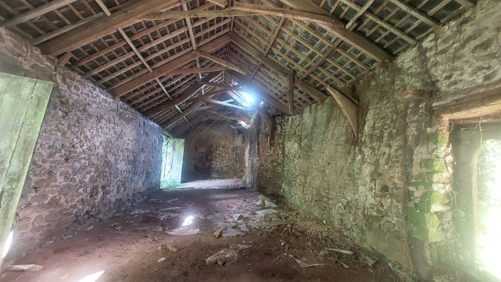
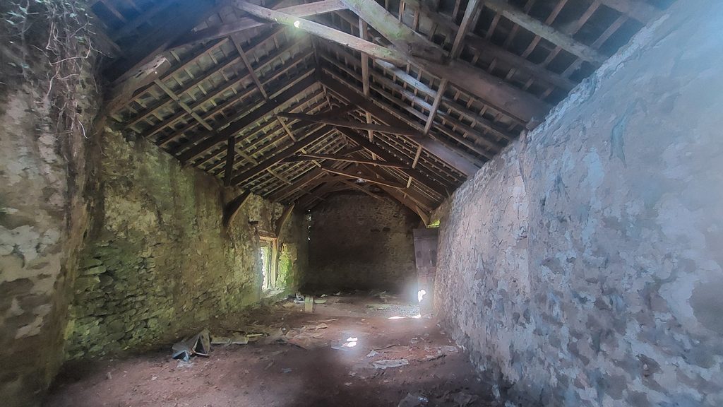
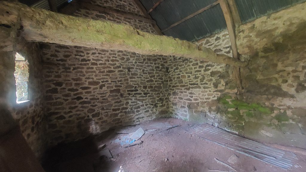
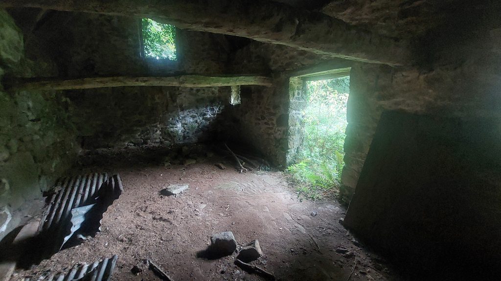
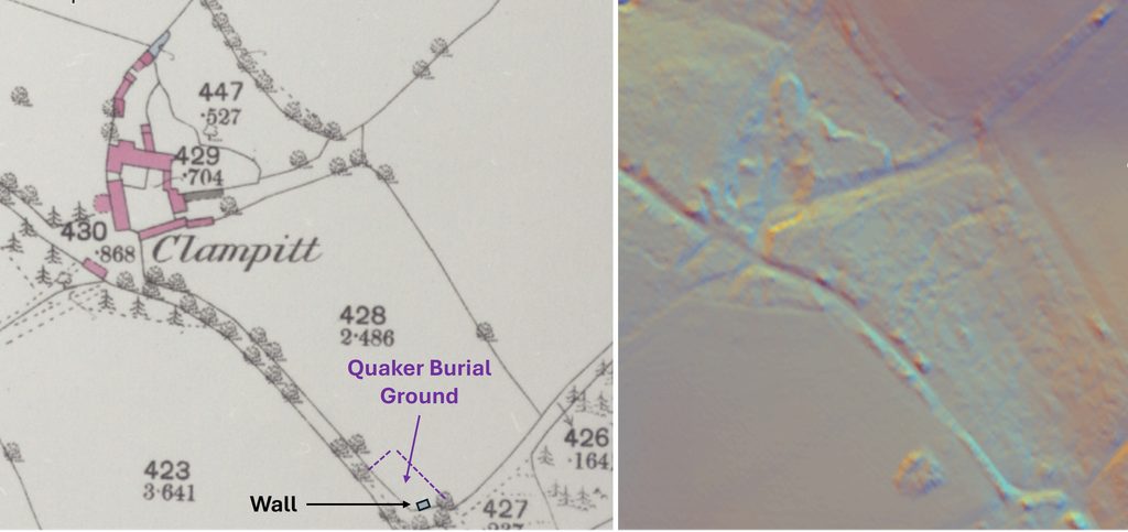
The Barn had a large cart entrance to the left of centre. The Barn is thought to date from 16th or 17th century. It was extended in the 18th or 19th century. The walls were further raised to support a 20th century roof, which is slated. SX81026 84498Inside the Barn, with its lovely 20th century roofAnother view from iInside the BarnThe Shippon (October 2026). It is thought to be from 16th or 17th century and is constructed from granite rubble It’s gable-ended roof is clad in ‘modern’ corrugated iron sheets. SX81049 84500The Shippon (from a photograph from dartmoorwalking.org reproduced here with permission) from around 10 years ago, indicating how much the vegetation has grown in the area. The Shippon has a central doorway with chamfered wooden frame.Inside the Shippon. Inside the Shippon, two cross-beams remain , but purlins and common rafters are missingThe Quaker burial ground is located to the south east of Clampitt. The annotated map on the left shows the location, which can be compared with the LiDAR image on the right. Some ground disturbance can be seen on the LiDAR plot. William Addems, the farm owner in late 19th century had pointed out the location of the Quaker burial ground to the authorities after his farm had been compulsory purchased in 1897, stating that at least 20 graves had been noted there. Workmen dug up a quantity of human bones then, which now have been re-interred.
This map from 1904, shows the farmhouse had been demolished by this time
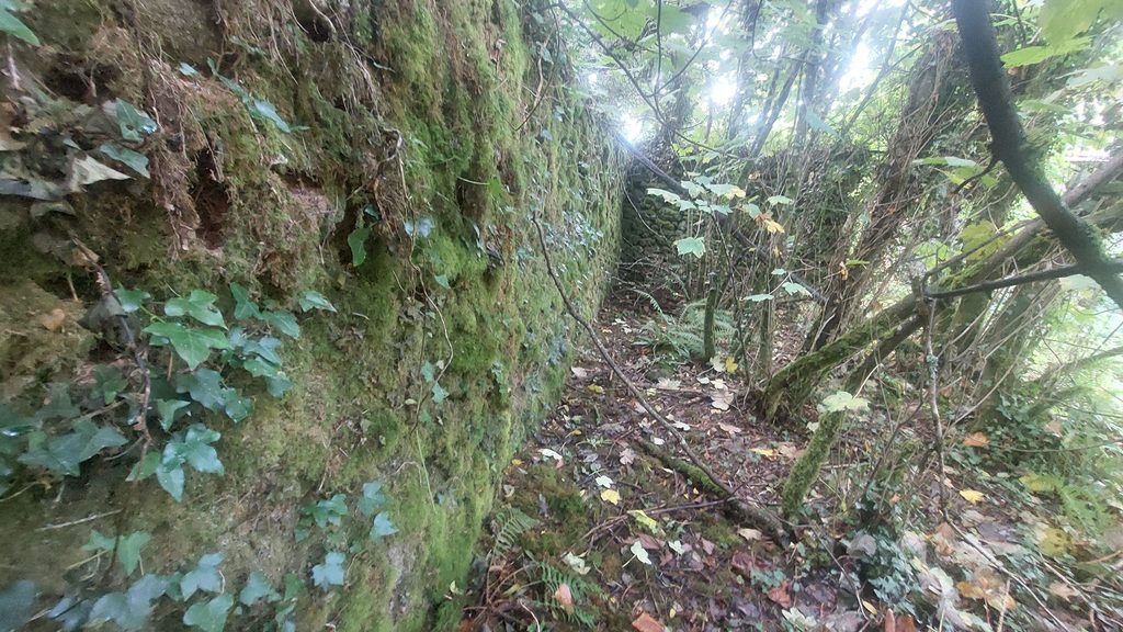
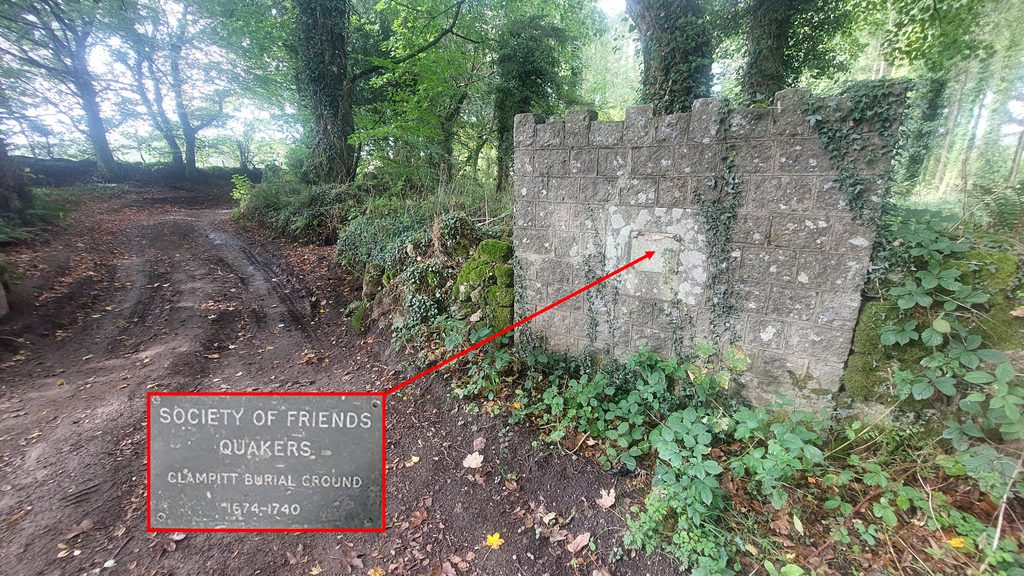
Between the Shippon and Barn buildings (to the south) is a large wall, which according to 19th century maps was an outbuildingNear the corner of a footpath, this wall with ‘castellations’, can be found. Behind this wall is where the Quaker burial plot was located
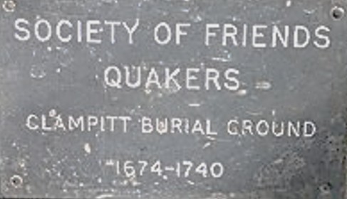
This plaque stating : ‘Society of Friends Quakers. Clampitt Burial Ground. 1674-1740’ was once affixed to the wall. The dates on the plaque are in conflict with other records (ref: Dymond) which state that Elias Tuckett was the first to be buried here on 3rd September 1687 and the last registered burial being 1732.
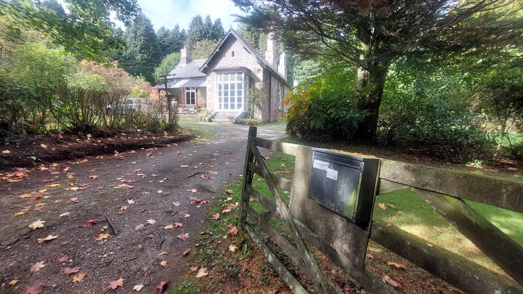
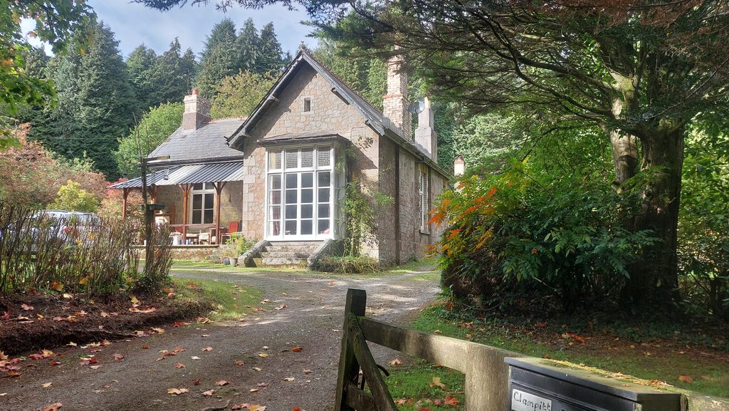
Location of where the plaque was once affixedClampitt House to the east of Clampitt Farm was constructed in 20th century and is located adjacent to a public footpathClampitt House is located at SX8145 8459