A collection of walks, discoveries, insights and pictures of exploring Dartmoor National Park
July 13, 2026
Nuns Cross Ford Tinners’ Mill
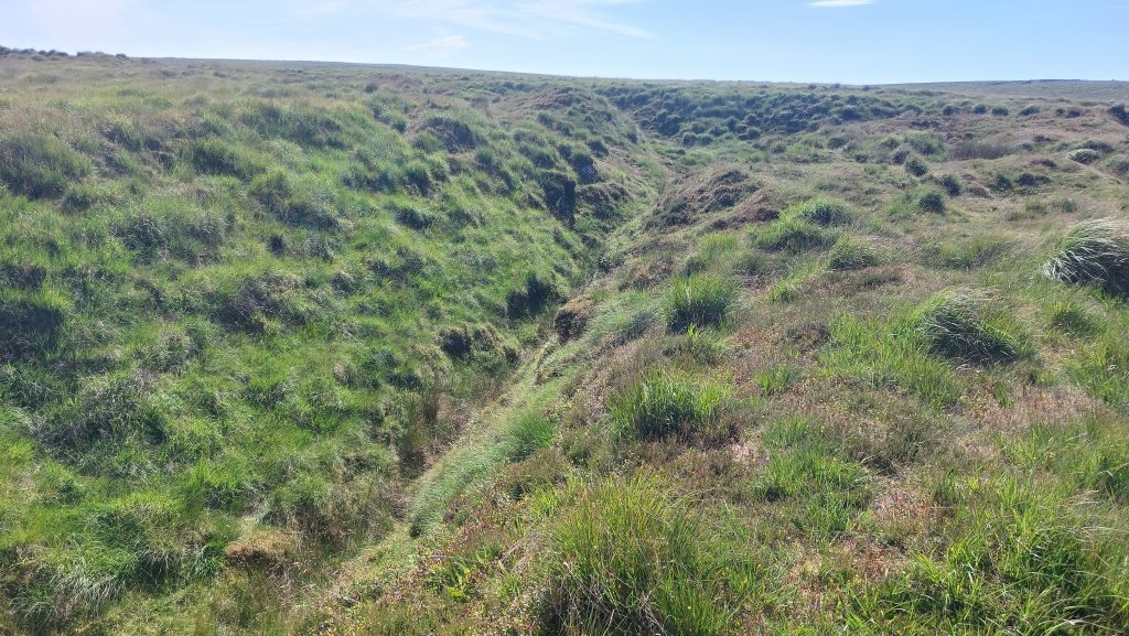
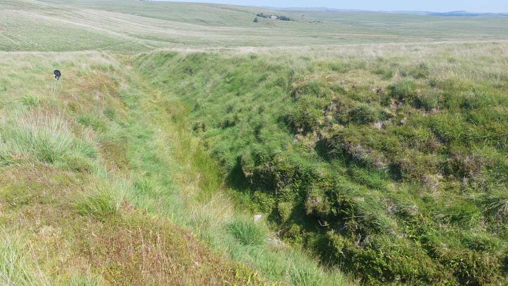
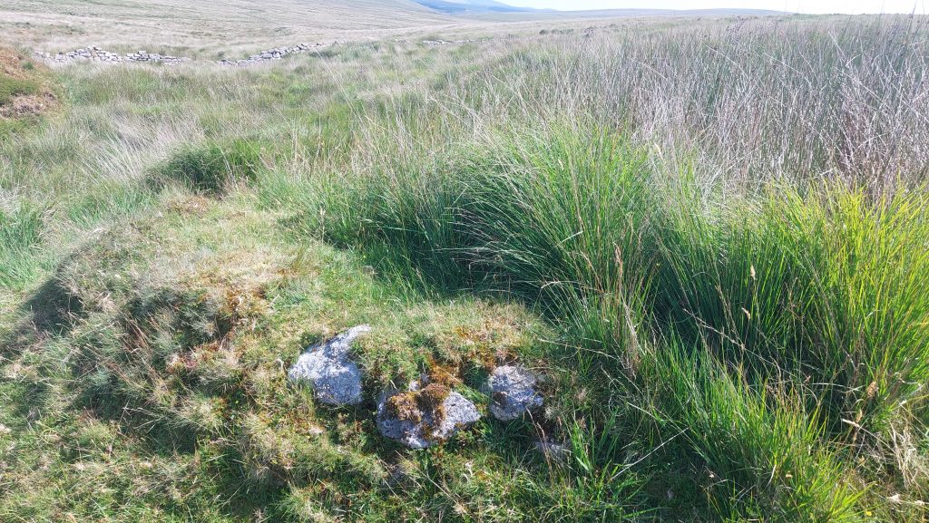
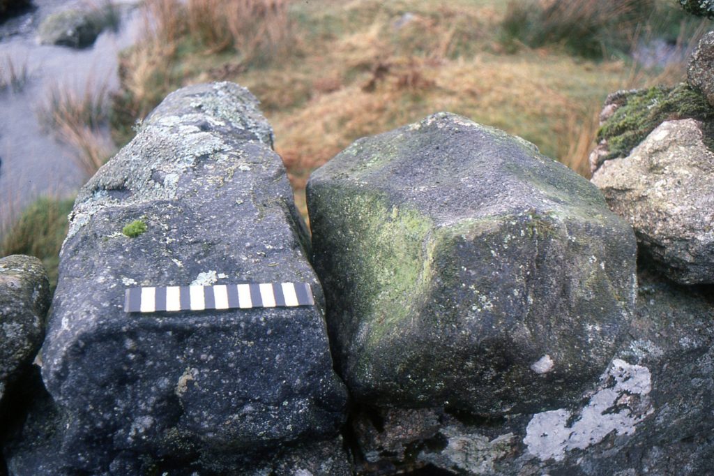
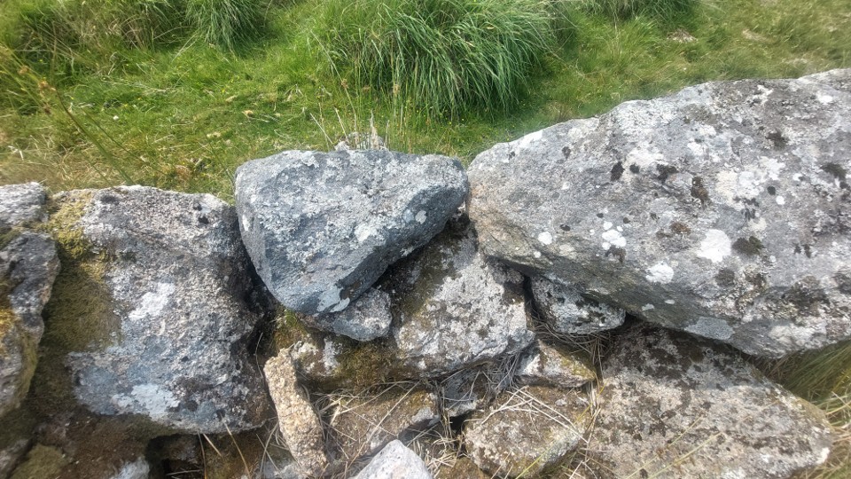
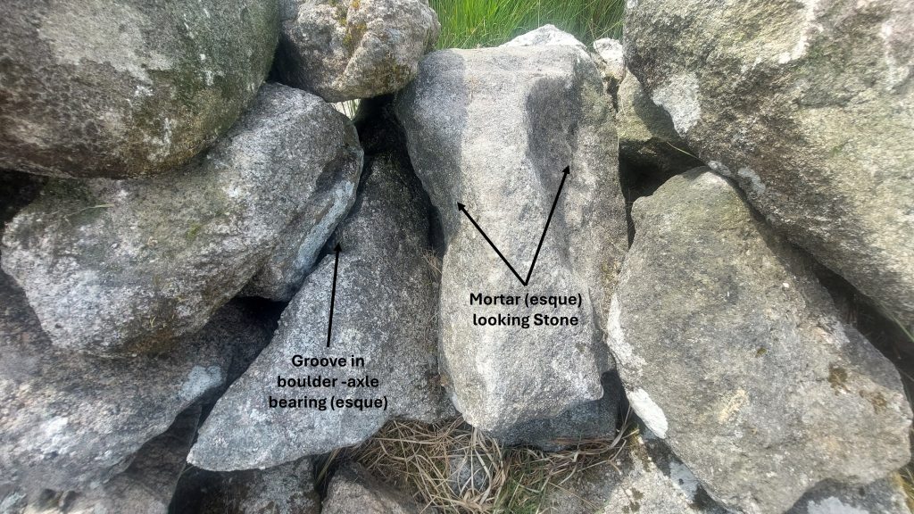
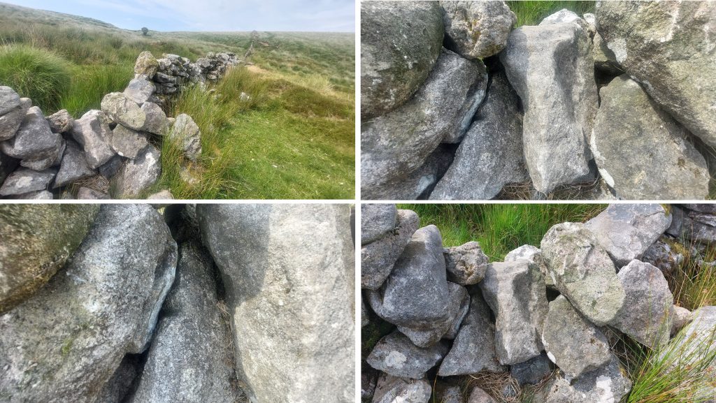
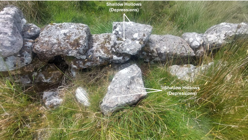
To the south-east of Nun’s Cross Farm (between Nun’s Cross Ford and Headless Cross) there is a lot of evidence of medieval / post medieval Tinners’ Workings in the form of Openworks and Lode Back Pits. To the north of these workings along Nun’s Cross Brook there is a Tinners’ Mill plus two Tinners’ Huts (or lodges), albeit one of the Tinner’s Huts is considered by some Dartmoor observers as only a ‘possible’ one. Near the Tinners’ Mill where the Newtake Wall crosses Nun’s Cross Brook a possible Mortar Stone identified by Tom Greeves was shown to Stephen Holley (Dartmoor Tinworking Research Group (DTRG) Chairman) a number of years ago. During a DTRG walk in July 2026 the group failed to (re) locate the stone. That said, the author returned to the location a few days later and spotted a number of Mortar (esque) Stones in the Newtake Wall plus one which had a groove in it which looks like an old wheel bearing stone, albeit this provenance is doubtful.
This post provides a photographic record of the Tinners’ Workings, the three Tinners’ buildings plus the observed stones in the Newtake Wall. Unfortunately, there is no historical documentary evidence relating to any of the above.
Bibliography
Dr Tom Greeves – (2016) – ‘Lodges and Mills: The Field Archaeology of Tin Accommodation, Stamping and Smelting on Dartmoor’) – Mill 119
Jeremy Butler – (1993) – Dartmoor Atlas of Antiquities: Volume Four – The South-East – Map 64
Royal Commission for the Historical Monuments of England – (1993-1998) – Dartmoor Royal Forest Project, H. Riley (Report – Survey).
Royal Commission for the Historical Monuments of England, 1987-1993, Duchy Farms Project Survey Visit, S. Probert (Report – Survey).
Stephen Holley – (July 2026) – Dartmoor Tinworking Research Group (DTRG) Chairman – Pers. Conv.
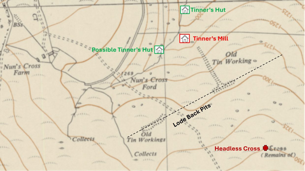
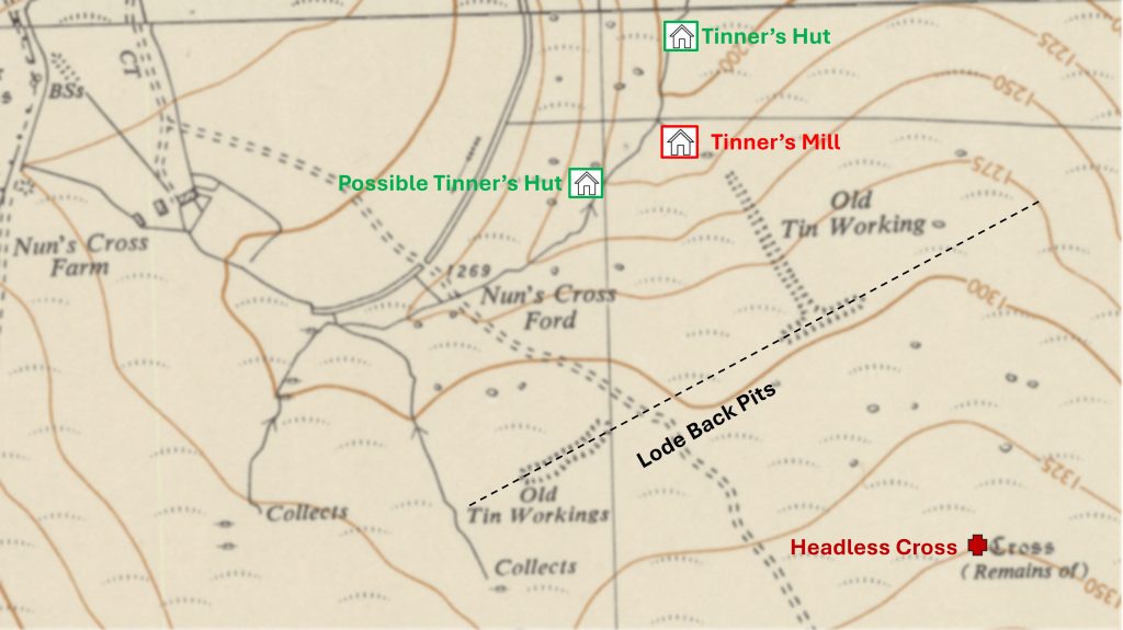
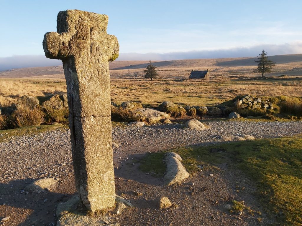
This annotated map shows the location of the Tinners’ Mill and the Tinners’ Huts (one definite and one possible) in relation to the more conspicuous features in the area, namely; Nun’s Cross, Nun’s Cross Farm and the Headless Cross. The Lode Back Pits cut a streamwork to the south-west end and terminate in a small openwork in the east.Syward’s Cross is more commonly known as Nun’s Cross. This cross was documented in 1240 as a boundmark of the Forest of Dartmoor during the perambulation ordered by Henry III in that year. The western face is inscribed ‘BOC /LOND’ which is assumed to refer to Buckland Abbey (suggesting the inscription post dates 1278, when the abbey was founded). That said, ‘Buckland’ means ‘estate granted by charter’ and may be related to the ‘SYWARD’ inscription on the eastern face.
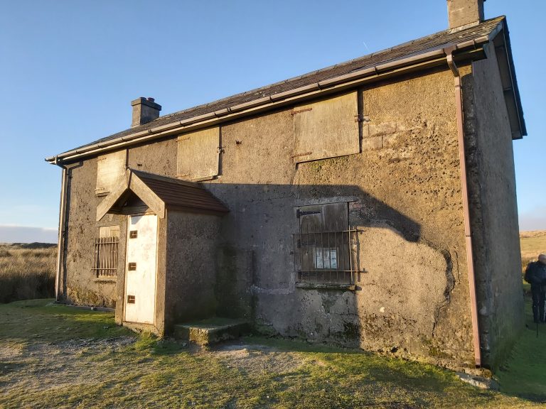
The first lease (for 31 years) for Nun’s Cross Farm was issued on 25th March 1870 by the Duchy. The lease was taken up by a John Hooper who was charged with erecting “a good cottage with stone walls and a slate roof”. The original dwelling was converted by 1898 into a cattleshed by John Hooper’s Son-in-Law, Edward Worth. In 1901, Worth obtained permission to built a two-storied farmhouse at Nun’s Cross and it is this three bedroomed dwelling which is the one we see today.
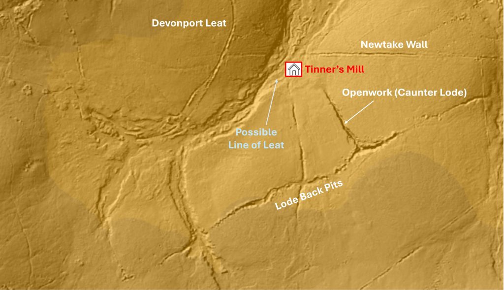
LiDAR (Light Detection And Ranging or Laser Imaging Detection and Ranging) plot showing the location of the Tinners’ Mill in relation to the Newtake Wall which descends in an easterly direction down from Devonport Leat and in relation to the nearby Openworks and Lode Back Pits. The Lode Back Pits run more or less south-west to north-east for some 800 metres (between SX6070 6944 to SX6145 6979). At the junction of the Lode Back Pits there is an openwork, which possibly could be considered a ‘Caunter Lode’ (ie a lode running across a main lode, usually at perpendicular)
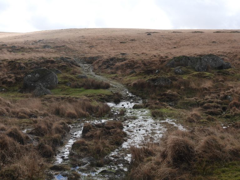
The ford at Nun’s Cross Brook. The line of large tin pits (Lode Back Pits) are around 200 metres south-east this point.
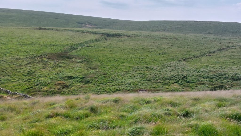
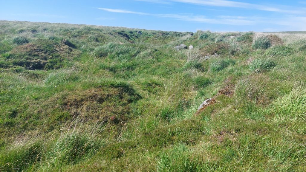
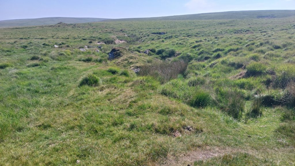
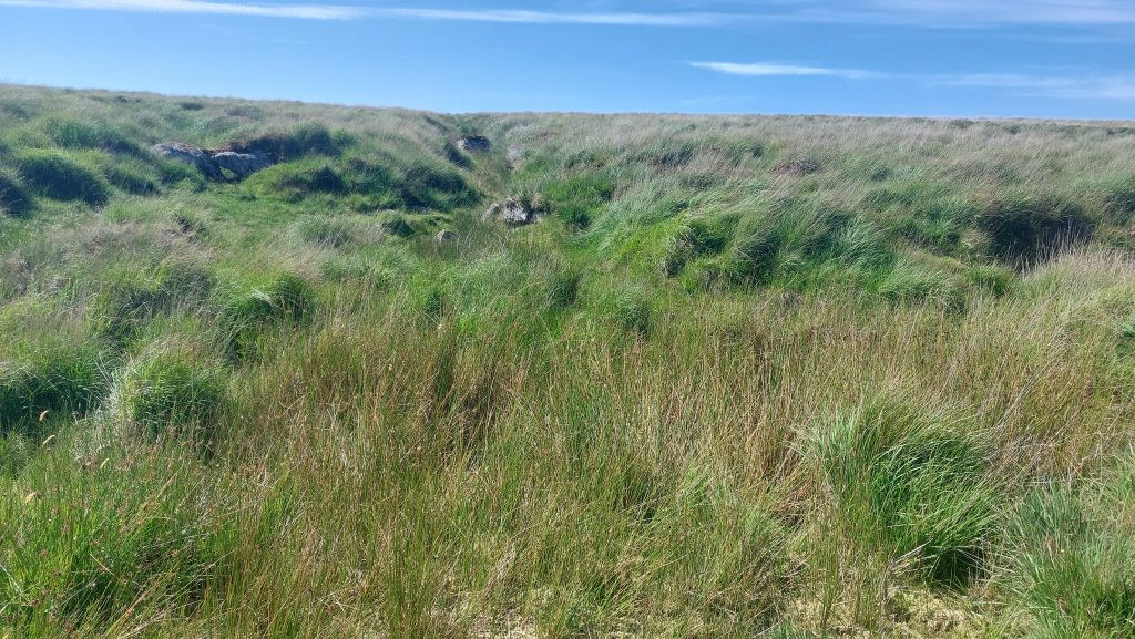
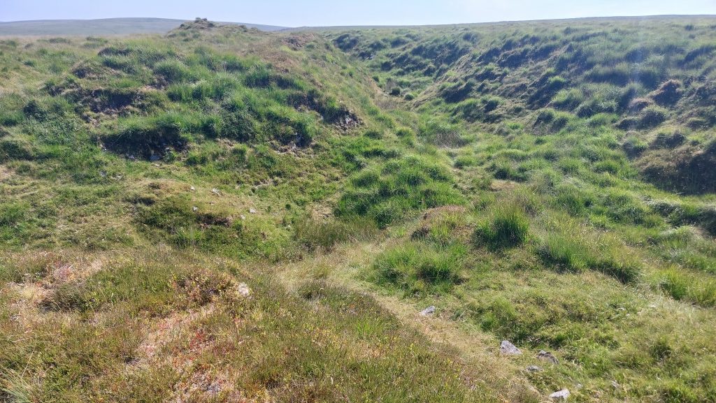
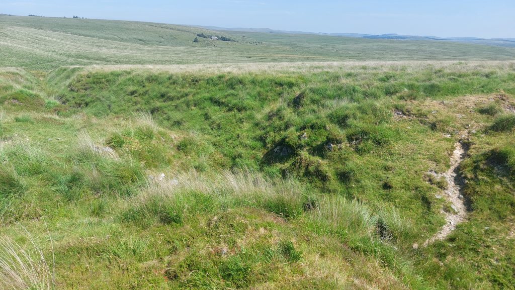
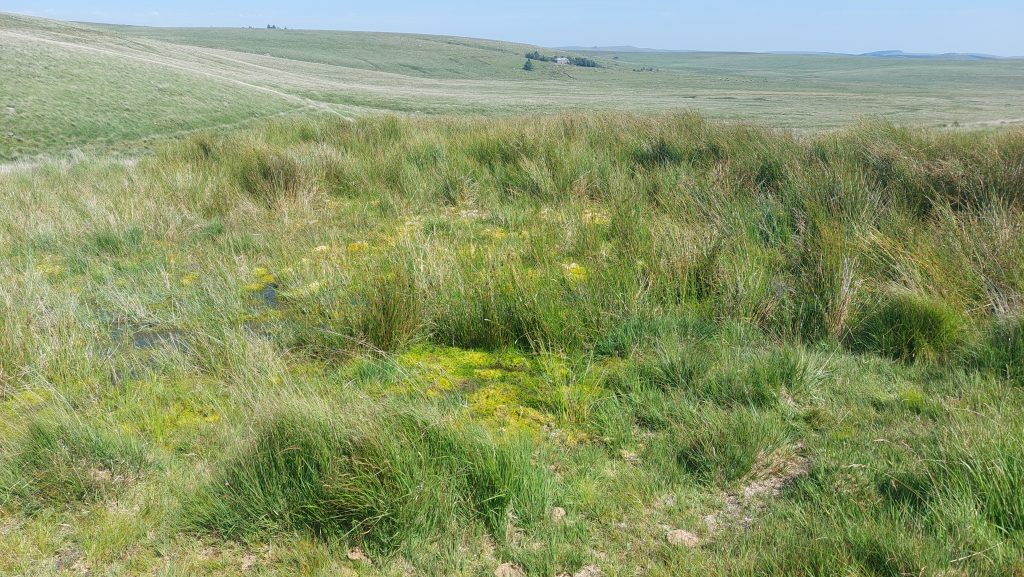
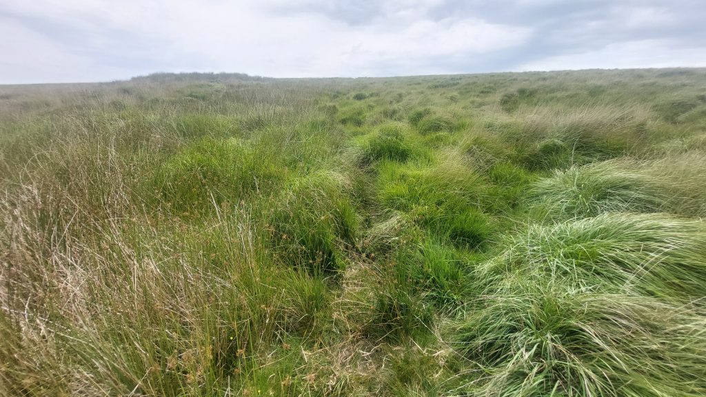
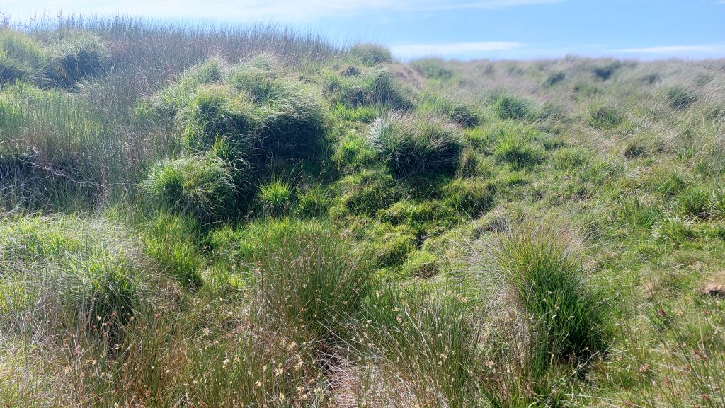
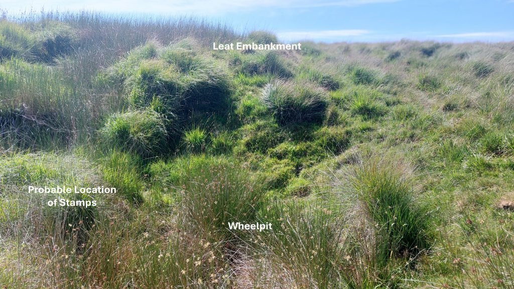
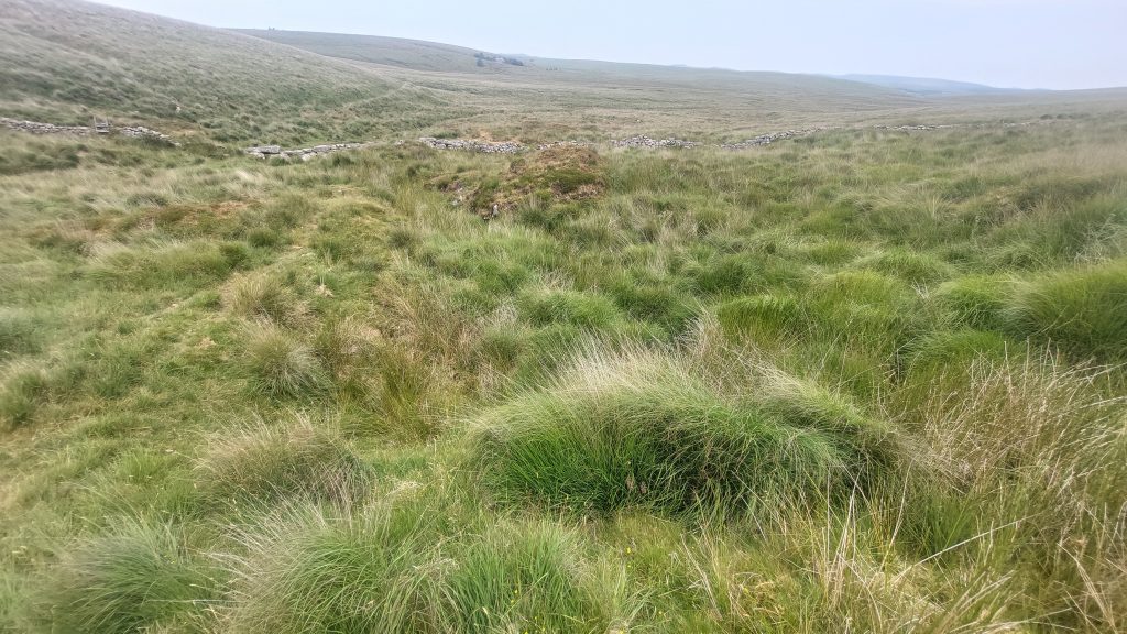
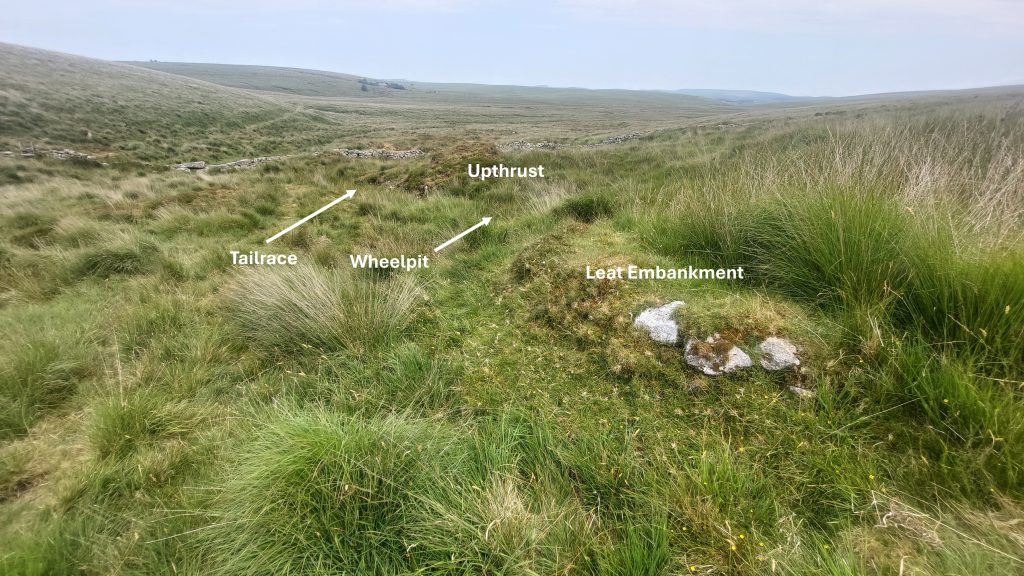
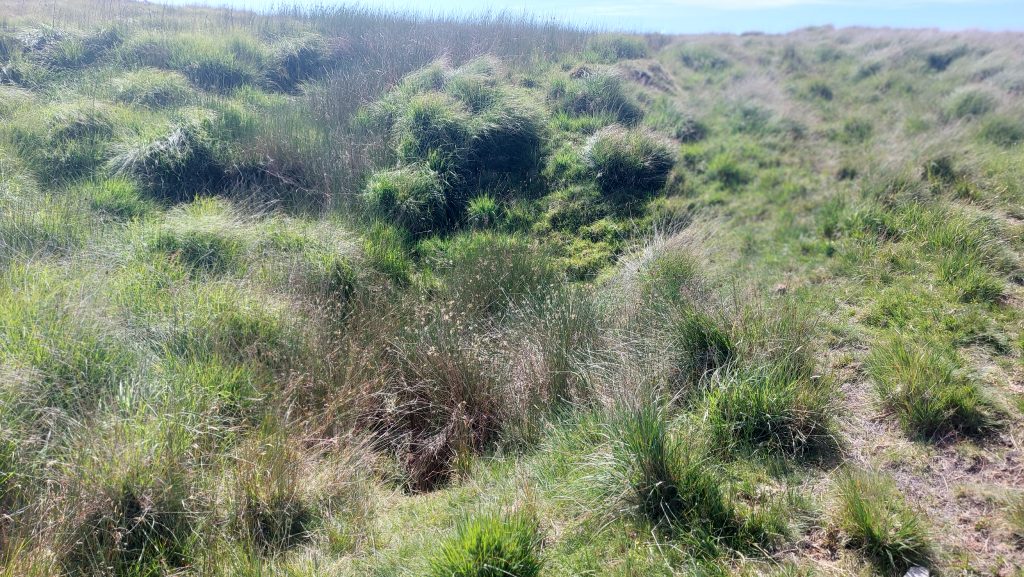
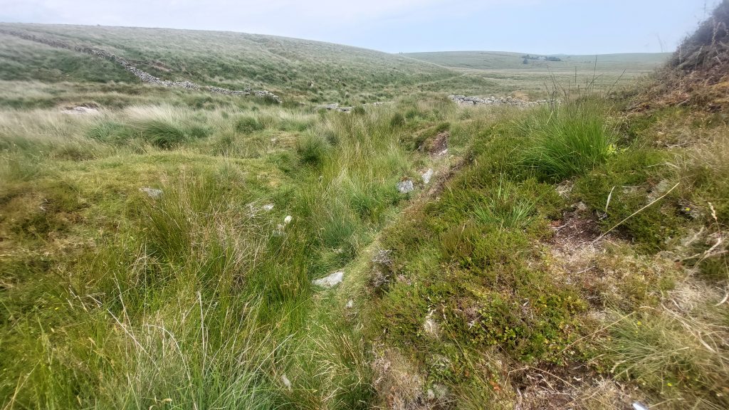
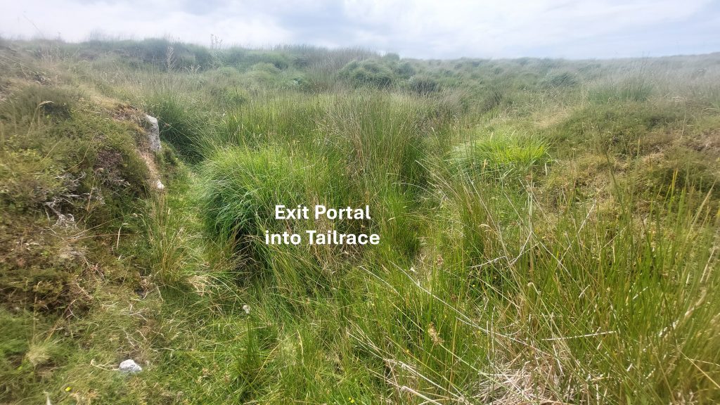
Openworks and Lode Back Pits south of Nun’s Cross Brook (as viewed from Devonport Leat)Typical scene of the Lode Back Pits between Nun’s Cross Brook and the Headless Cross. This scene was photographed at SX61011 69612Looking east along the Lode Back Pits. Crane Hill is the right horizon and Ter Hill on the left horizonMore views of the Tinners’ WorkingsThe junction of the main south west to north east lode and the side (Caunter) lode to the left of the photographThis view was taken near the junction of the Main and Caunter Lodes. This was taken at SX61183 69691. Note the view across Fox Tor mire towards Whiteworks Cottages surrounded by trees. Looking down the ‘V’ of the Caunter Lode the outline of the Whiteworks Engine Leat can be discerned.Caunter Lode looking south up towards the junction with the main lodeCaunter Lode – looking north. Emma Cunis (Dartmoor’s Daughter) collie ‘Sky’ photobombing the sceneAt the bottom of the Caunter Lode is a large boggy area, which no doubt has been fed by the run off from the lode for hundreds of years.Leat feed to embankment above Tinners’ Mill looking towards the boggy area at the bottom to the Caunter LodeJust to the north of the boggy area and to the south of the Newtake wall which crosses Nun’s Cross Brook a stony Leat Embankment above the Tinners’ Mill can be found. It is located at SX61057 69851. This embankment (which would have fed a small wheel using a launder) plus the very faint outline of a leat is great evidence to confirm a Tinners’ Mill was once operational here.Below the Leat Embankment the vague outline of a Wheelpit can be found. The location of the associated stamps can be interpreted. Dr Greeves has labelled this as Mill 119 in his paper ‘Lodges and Mills: The Field Archaeology of Tin Accommodation, Stamping and Smelting on Dartmoor’. He records the Mill at SX6105 6988 with features which include; a Wheelpit (visible), a Leat Embankment, a Leat and a Dressing Floor (albeit the latter hasn’t been observed by the author for this post)Annotations for the previous photograph. The Wheelpit is located at SX61055 69861.The Tinners’ Mill from on top of Leat Embankment looking towards the Newtake Wall and beyond to Whiteworks in the distanceAnnotated General View of the Tinners’ MillThe Wheelpit is in the reedy area in the foreground
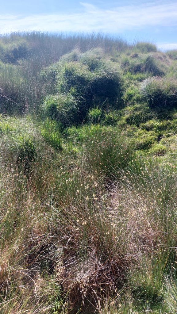
Portrait view of the Wheelpit and Leat Embankment
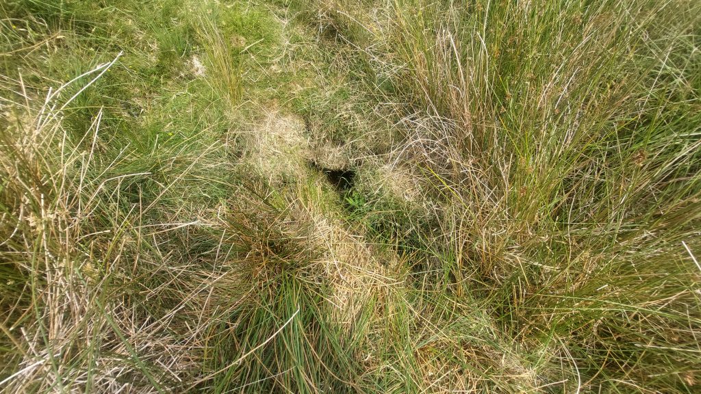
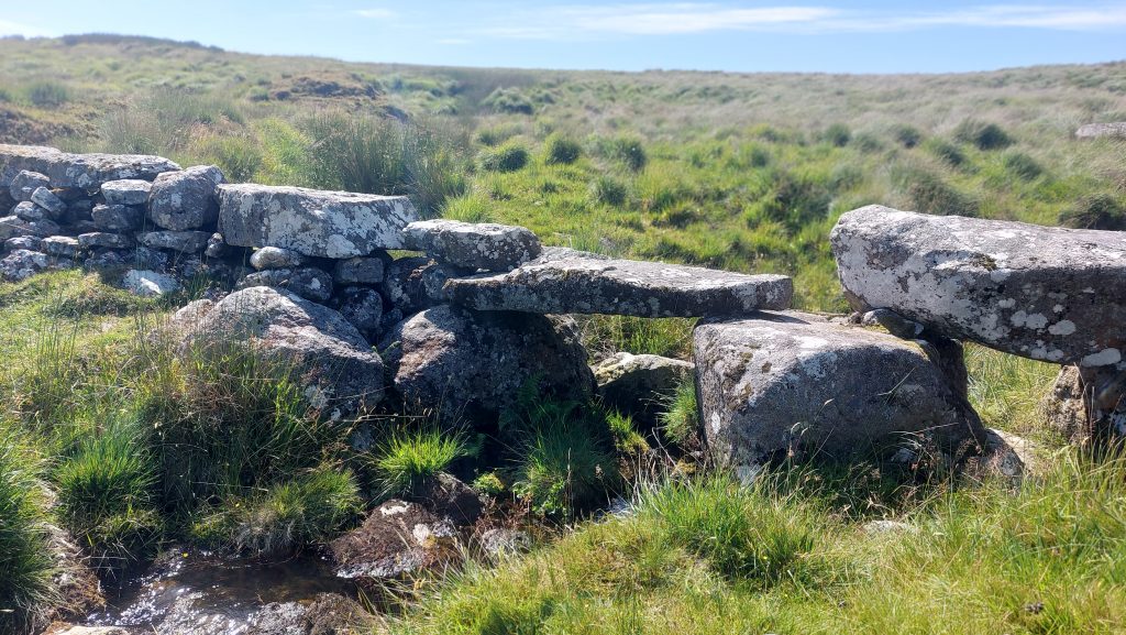
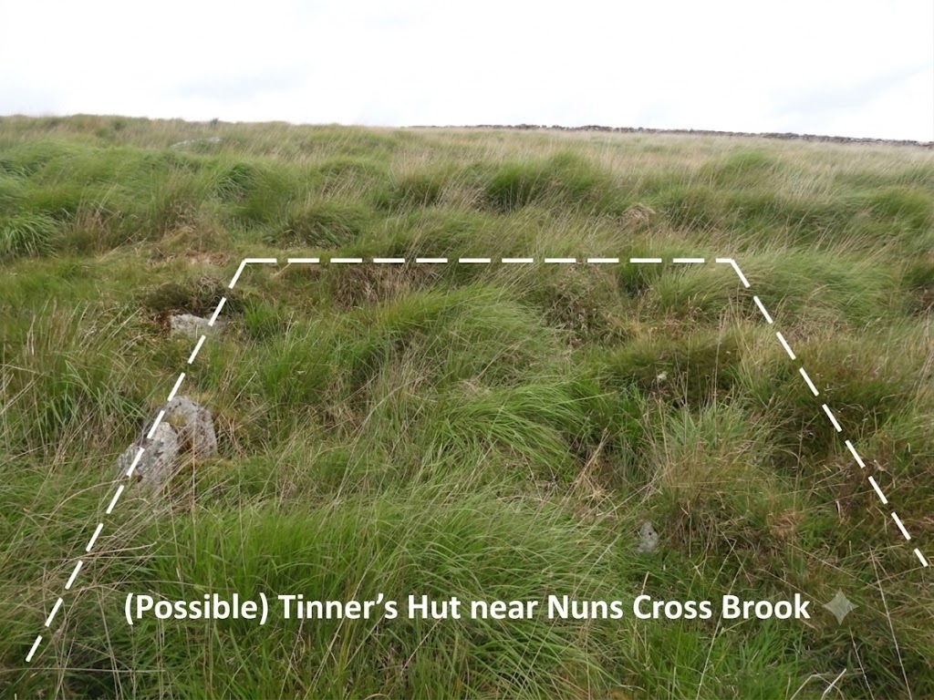
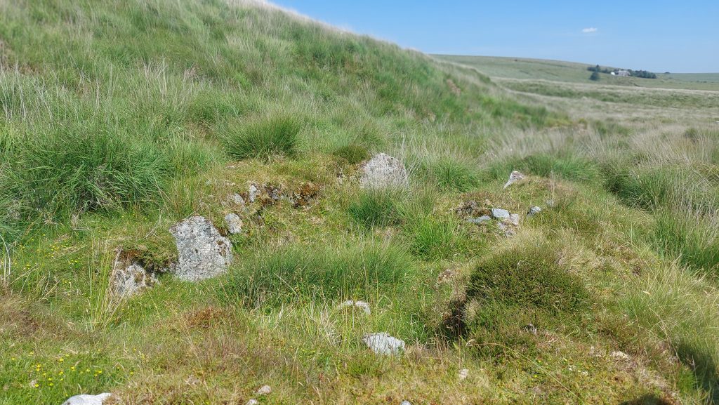
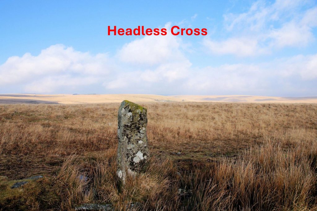
Wheelpit exit portalTailrace by upthrustTailrace exit portalNewtake Wall Across Nuns Cross Brook. The Tinners’ Mill can just be seen in this compositionThis picture was taken by Stephen Holley (DTRG Chairman) showing a possible Mortar Stone in the Newtake Wall by Nun’s Cross Brook. This could not be found in July 2026Author’s revisit to the area to investigate stones in the Newtake Wall. A Mortar (esque) stone with two small depressions was found at SX61017 69896To the east of where the Newtake Wall crosses Nun’s Cross Brook these stones were found. The right hand stone has very large hollows / depressions and the left hand stone has a groove in it. The groove is probably there due to rock splitting but given its location gives a tantalising suggestion of being an axle bearing stone. The groove wasn’t very wornThe Mortar (esque) and Axle Bearing (esque) Stones can be found at SX61063 69895Another pair of Mortar (esque) Stones can be found at SX61078 69896In the Jeremy Butler, 1993 publication, Dartmoor Atlas of Antiquities: Volume Four – The South-East Map 64, he records a Tinner’s Hut (TB 7). The photograph above may be the building recorded by Butler, and is located on the left bank of the stream, 50m SW of the newtake wall which crosses Nun’s Cross Brook at SX60988 69840. Butler records this Tinner’s Hut as being 4m x 2.5m, albeit it is very overgrown and difficult to get an accurate measurementMoving a short distance to the north of the Newtake Wall where it crosses Nun’s Cross Brook this fine Tinner’s Hut can be found. It is recorded in the Jeremy Butler, 1993 publication, Dartmoor Atlas of Antiquities: Volume Four – The South-East Map 64, as Tinner’s Hut (TB 8). He records it as being 5.5m x 2m. Probert (in 1988) recorded the main room, as being 3.5m N-S by 2.1m E-W with the small porch being 2.1m E-W by 1.3m N-S. Unusually the Tinner’s Hut (or Lodge) is two roomed. It is located in the tin-streaming debris on the flood plain of Nuns Cross Brook. This Tinners’ Hut is located at SX61050 69982This Headless Cross (in reality a pillar), is sometimes called Whealam Bottom Cross. It is shown at the south east corner of the annotated map in this post. The author has read two suggestions as to why it is here, viz: 1. It is a boundary marker for the Southern and Western quarters of the Forest of Dartmoor and 2. F.H. (Harry) Starkey suggests that this cross originally occupied another cross-base (next to the Abbot’s Way) and that the cross was removed here to mark the boundary of tin-workings. The pillar has an incised cross near the top of its northern face.