A collection of walks, discoveries, insights and pictures of exploring Dartmoor National Park
May 18, 2026
Sammy Arnold’s Lane
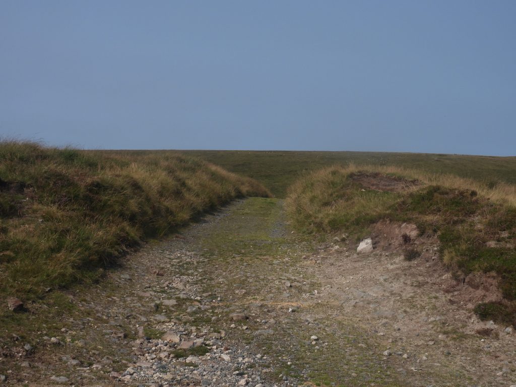
In the heart of the Okehampton Range lies a track (or as defined in military terms ‘road’) known as Sammy Arnold’s Lane, named after a local Peat Cutter. Information regarding this track is limited and the only mentions of Sammy Arnold the author has ever found are in two Eric Hemery publications, in a Mike Brown Field Guide and in a Okehampton Artillery Range Report and Survey.
Hemery, (in Walking Dartmoor’s Ancient Tracks) records that “Sammy Arnold brought down countless packhorse loads of ‘turf’ (peat) from Dinger Plain for Knack Mine in the Upper Taw valley; his route providing a wild and scenic walk, (which) has ever since been known as Sammy Arnold’s Lane”. The fact that Sammy Arnold cut peat for Knack Mine provides a useful timeline, insofar as the mine was operational as Nack or Knack from around 1835 (Greeves) before becoming known as Steeperton Mining Co Ltd before liquidation in 1879. That said, it wasn’t until the last few years of the operation, circa 1877 that the main plant and buildings were installed which perhaps suggests that Sammy Arnold may have only been supplying peat for two years between 1877 and 1879.
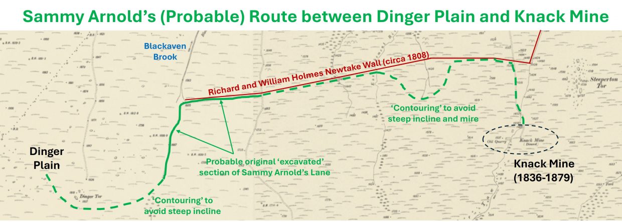
Using OS maps (1906 and other years), Eric Hemery’s descriptions in High Dartmoor and the record of the track in a Report and Photographic Survey of Okehampton Artillery Range, a jigsaw can be pieced together to conjecture / ascertain the location of ‘Sammy Arnold’s Lane’ (or at least the probable route he would have taken between Dinger Plain and Knack Mine). The evidence for the route is covered in this post.
Bibliography
Eric Hemery (1986) – Walking Dartmoor’s Ancient Tracks – Page 202
Eric Hemery (1983) – High Dartmoor – Pages 855, 857, 858, 868 and 878
Mike Brown (1998) – Dartmoor Field Guides; Volume 35 – The Wilderness of the North Moors – The highest land in Southern England; Page 4
Paul Francis (April 2002) – Okehampton Artillery Range, Devon – Report and Photographic Survey – Page 31 (Appendix 6 – Tracks and Roads) – supplied with thanks by Nigel Sharpe
William Crossing (1966) The Dartmoor Worker – Pages 48 – 53
Helen Harris, (1992) – The Industrial Archaeology of Dartmoor – Pages 98 – 115
Royal Commission for the Historical Monuments of England, 1993-1998, Dartmoor Royal Forest Project (Report – Survey). SDV346608
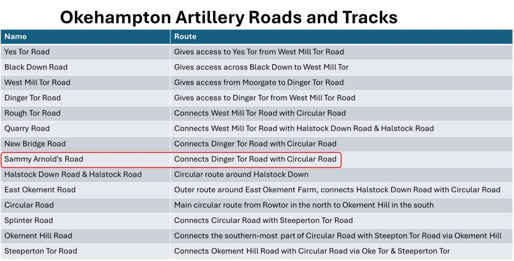
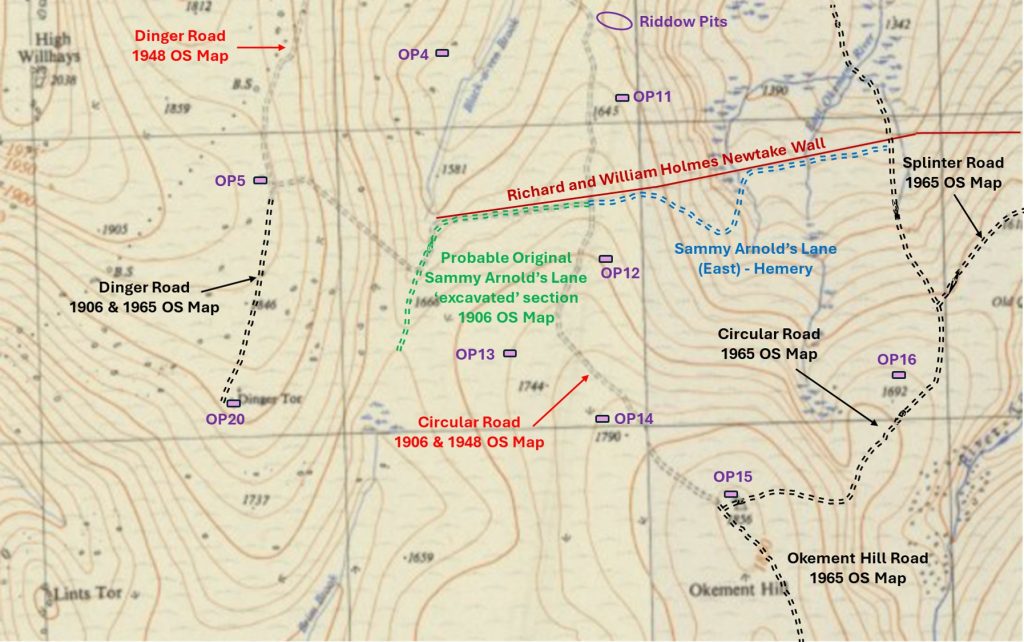
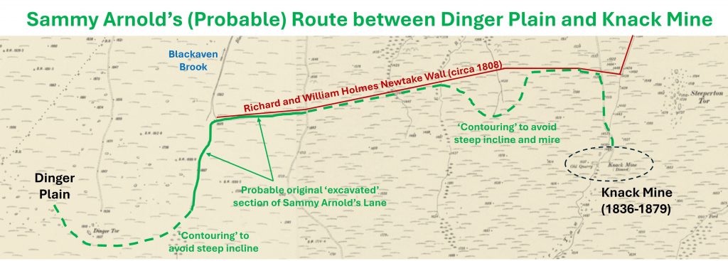
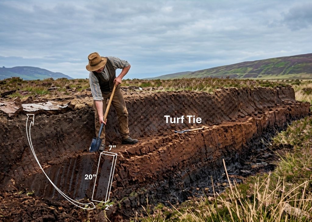
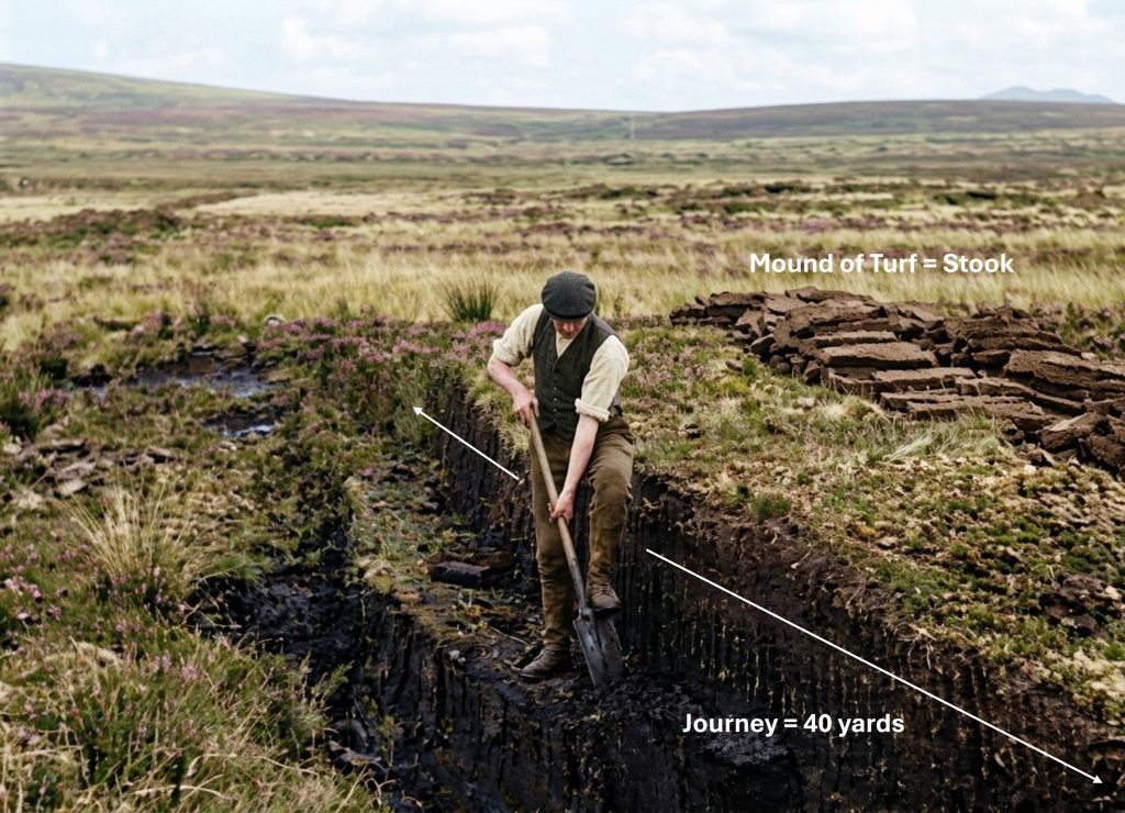
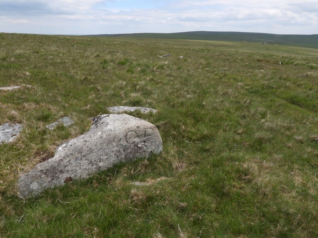
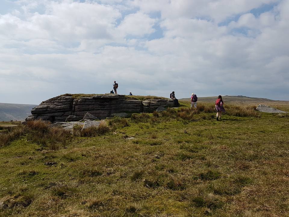
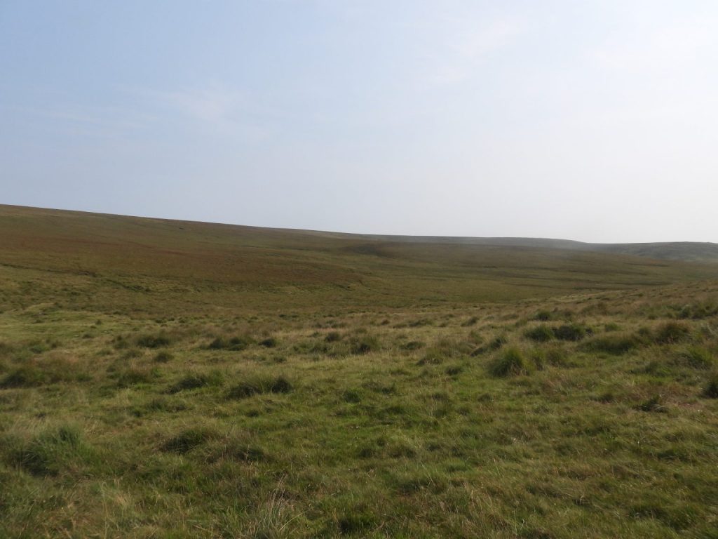
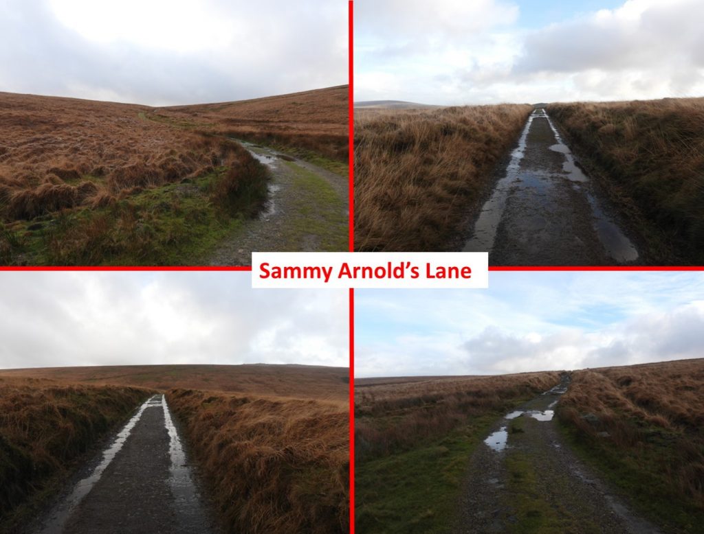
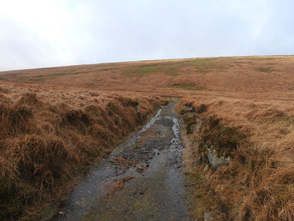
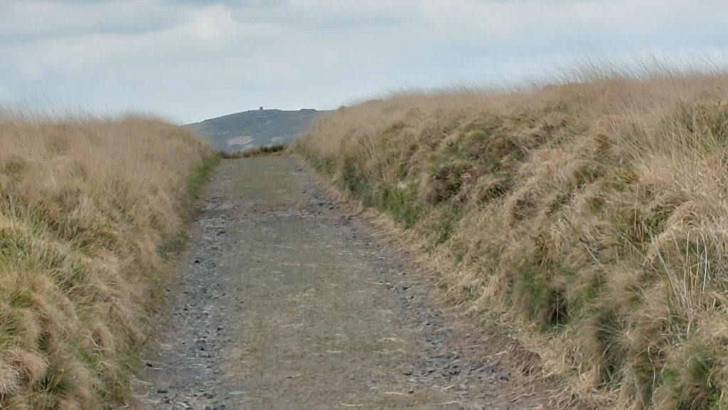
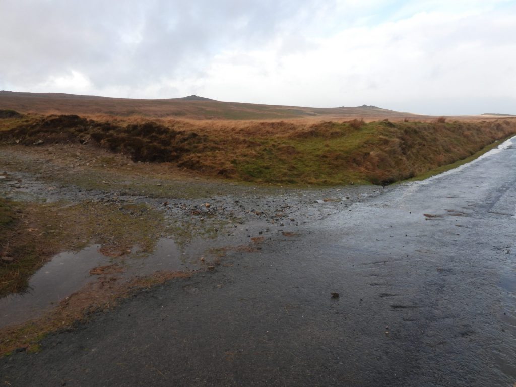
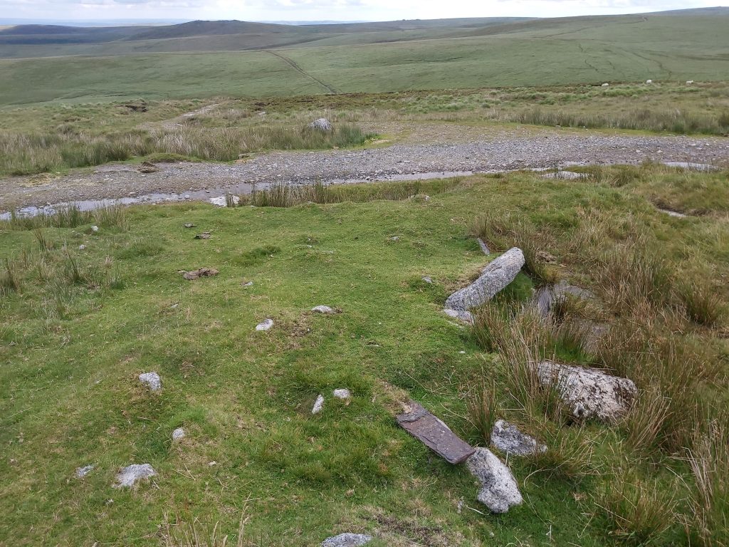
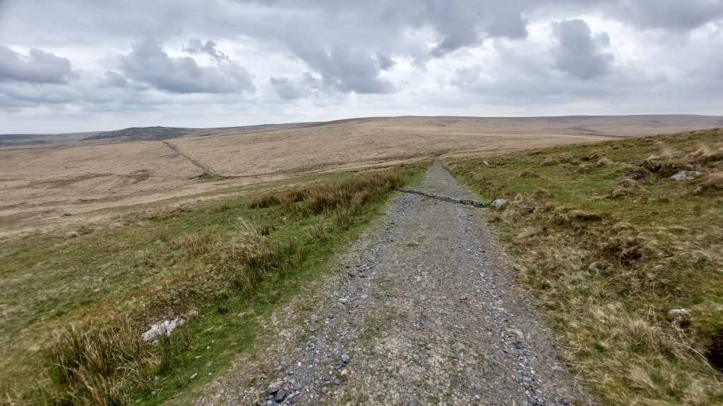
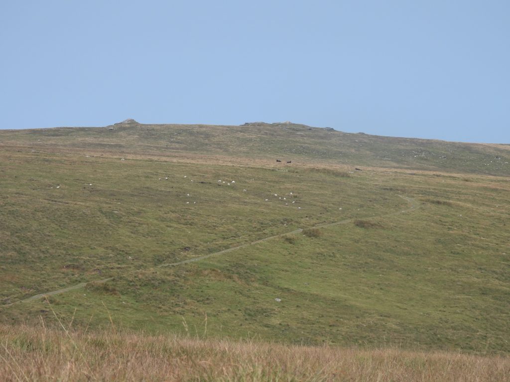
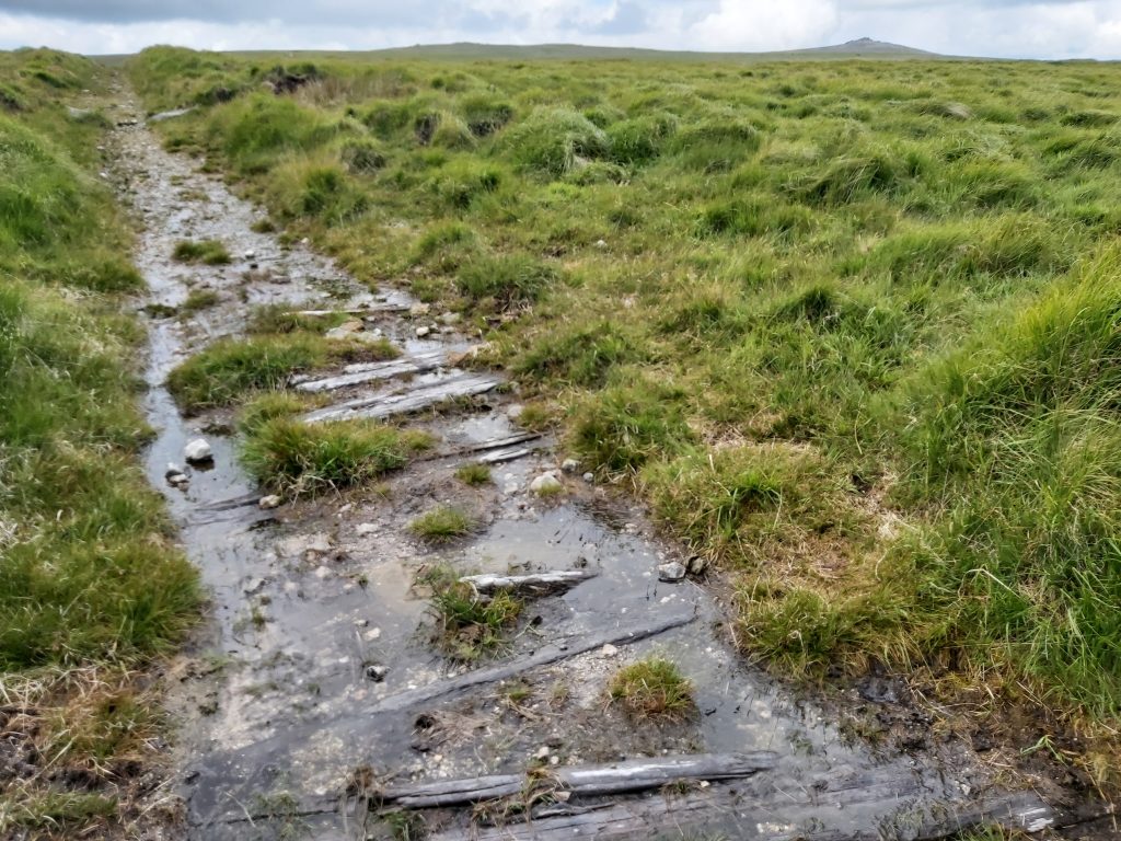
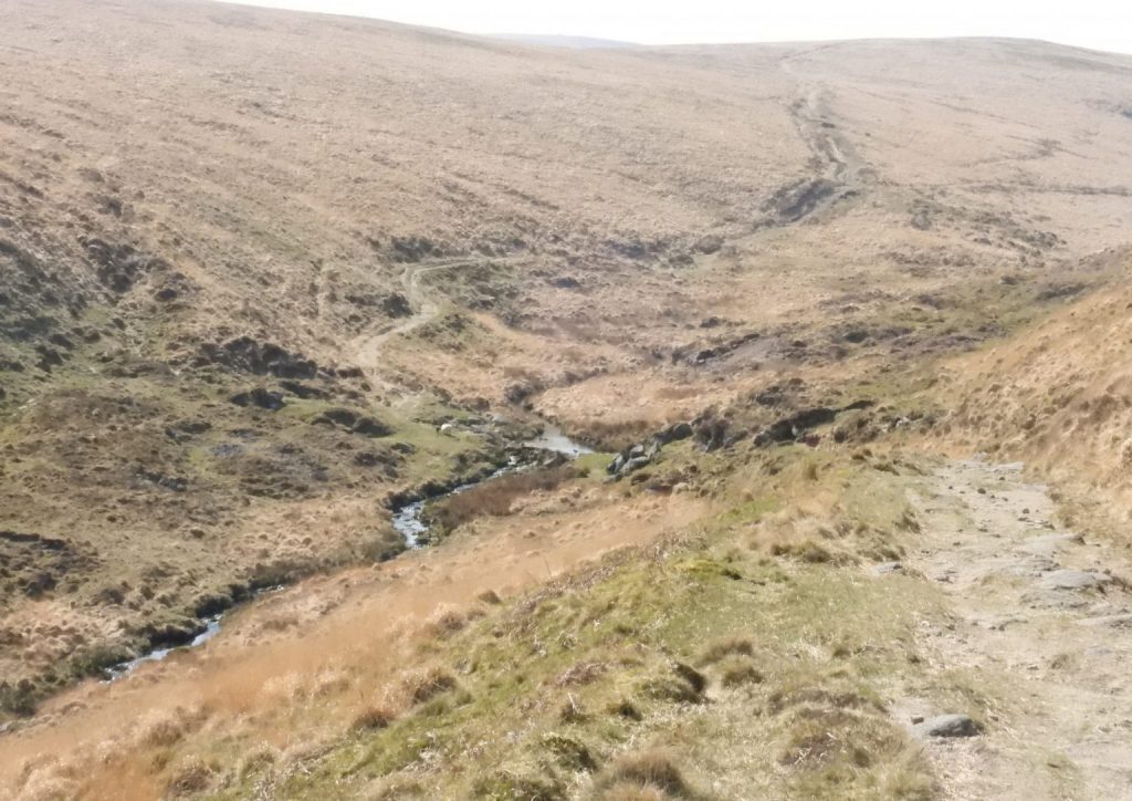
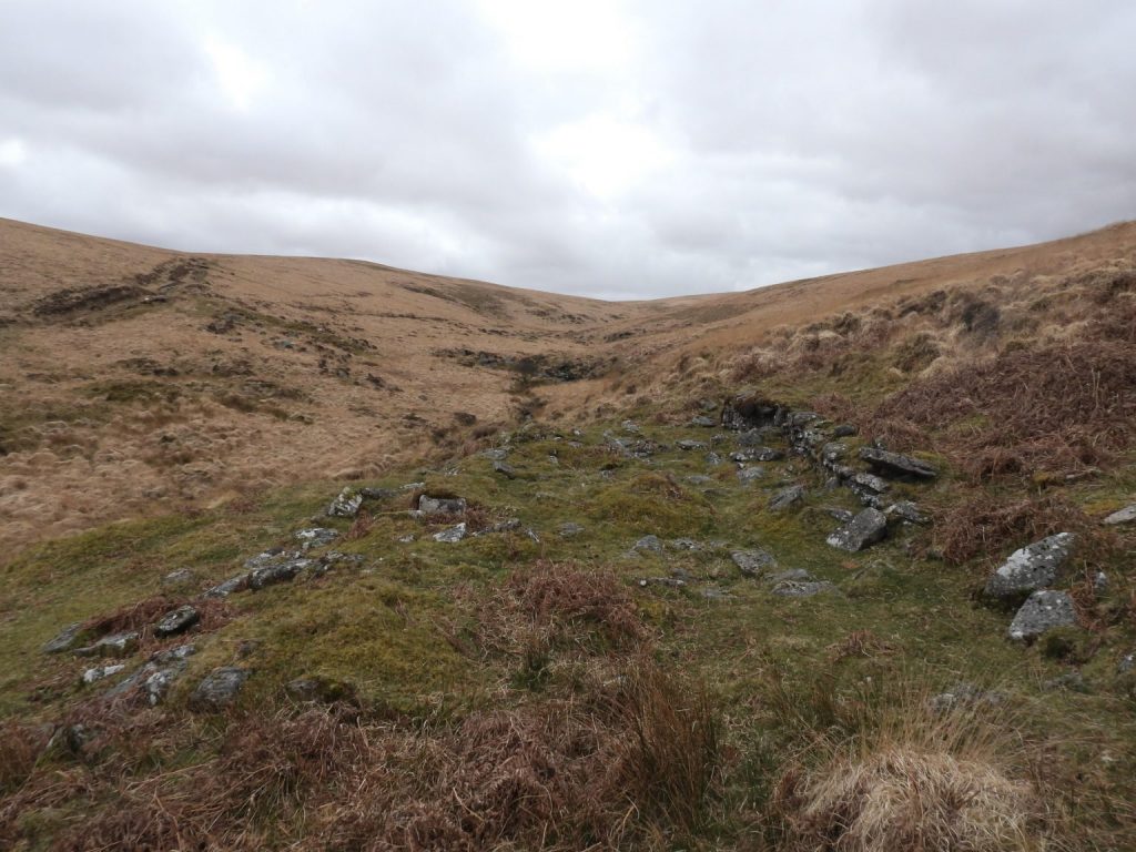
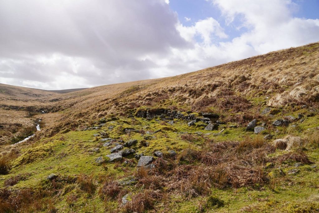
The above table is a reproduced extract from ‘Okehampton Artillery Range – Report and Photographic Survey – Page 31 (Appendix 6 – Tracks and Roads)’ which shows that Sammy Arnold’s Road connects Dinger Tor Road with the Circular Road. The author of the report / survey doesn’t provide any history of the name ‘Sammy Arnold’ but does concede that the word ‘Road’ is synonymous with the word ‘Track’. It is interesting to note that ‘Sammy Arnold’s Road’ only covers approx. one third distance from Dinger Plain to Knack Mine starting from near the former Observation Post (OP 5) running through to the west side of the Circular Road. Because of the steepness of ‘Sammy Arnold’s Road’ from OP 5 down to the Blackaven Brook the author does question this a the original authentic route for Sammy Arnold’s peat laden horse and cart and offers an alternative in this postThis annotated 1948 OS Map shows some key features in the area between Dinger Plain and Knack Mine along Sammy Arnold’s Lane (or at least the route he would have taken between the two locations). To the west of the Circular Road is a green ‘double-dashed’ line which is evident on the 1906 OS Map and shows a track heading towards the head of Brim Brook Head which the author suspects indicated the original route taken (ie not up the slope between Blackaven Brook and the later OP 5). To the east of the Circular Road is a blue ‘double-dashed’ line described by Hemery in ‘High Dartmoor’ (page 868). The author suspects the original Sammy Arnold route took this route following an early 19th century Newtake wall with a ‘curve’ along the way to avoid a steep slope and a mire. Note that there are scant remains of the Observation Posts shown on the annotated map except OP15 and OP16The above annotated 1906 OS Map is the authors’ interpretation of the full Sammy Arnold (Probable) Route between Dinger Plain and Knack Mine. To the west the author believes the route would have contoured around Dinger Tor to avoid the steep incline up from Blackaven Brook. The fact that the 1906 OS Map shows a track heading towards the Head of Brim Brook perhaps supporting this theory. To the east, the natural route would have been to follow the Richard and William Holmes Newtake Wall* leaving it briefly to contour down a slope and avoid the mire. The eastern part of the route would have met the Oke Tor / Knack Mine track and lead Sammy Arnold into the Taw Valley. *Note: RCHME record “A former newtake granted by the Prince of Wales to Richard and William Holmes in 1808 ( Duchy of Cornwall grant of 1240 acres to Richard and William Holmes, 1808). The grant of 1240 acres, 502ha, covered the area bounded by the River Taw from a point immediately east of Belstone Tor to a point immediately west of Steeperton Tor then directly west to the head of the Blackaven Brook and north along the brook to its confluence with the east Okement River. From this point the boundary ran almost due east to the Taw” A peat cutter from 1912. Peat was cut in a section known as a Turf Tie, which resembled a rectangular pit (many can still be located). Special tools were used, namely; a slitting knife (or slicer), a budding-iron and a turf-iron (Harris). The ‘slitting knife’ (between 2.5ft and 3ft long and 3-4″ wide) was fitted to a wooden handle and used to trim off the previous years cut. The first cut (using the same tool) was around 14″ from the edge (two Turfs / Turves wide). Next came the removal of the covering layer of soil and vegetation (using a shovel or budding-iron). Each turf (as annotated above) was cut using a turf-iron and was approx. 20″ x 7″ x 2″. It is almost certain that Sammy Arnold used this technique. A peat cutter from 1913. The peat was cut in long strips called ‘journeys’ which were roughly 40 yards in length (Harris). When cut they were known as Turves (or Turfs) and laid to dry on a mound (or stook). This view is Dinger Ridge looking across to Dinger Plain and Dinger Tor. It is in this approx. area that Sammy Arnold would have cut his peat. That said, the author has never located any Turf-Ties in the area. The OPB (Okehampton Parish Bounds) inscribed rock can be found at SX58224 88575Dinger Tor. This picture was taken when the author and a group of friends were hiking between the 5 x 600m peaks on the moor – the next stop was High Willhays. Sammy Arnold would have been very familiar with this torView of Brim Brook Head from the edge of Dinger Plain. The shallow slope here is the route (conjectured by the author) that Sammy Arnold took to reach Blackaven Brook Head. Hemery records in High Dartmoor (page 878) that John Spencer (maps) told him that “He had once ridden a horse from Huggaton Cut (near Ockerton Court on Okement Hill) down the river’s (West Okement) right bank, up the Brim Brook valley and so to Sammy Arnold’s Lane and onward to Okehampton”. This account suggesting that the ground here between the head of Brim Brook and that of Blackaven Brook is firm enough for a horse (and presumably a cart)Sammy Arnold’s Lane (or Sammy Arnold’s Road) between the Blackaven Brook and the Circular Road. The top left picture in the collage shows the ‘col’ between Brim Brook and Blackaven BrookLooking west along Sammy Arnold’s Lane, which quite clearly has been widened by the military. The valley here is the Blackaven. The modern track here bends 90 degrees to the south then sharply north east up the steep slope (as can be seen towards the top of the photograph) towards the former OP 5. The Richard and William Holmes Newtake Wall from circa 1808 would have been along the north side of this trackSammy Arnold’s Lane as it approaches the Circular Road. The picture ‘frames’ Steeperton Tor, below which is Knack MineThe top of the ‘west’ section of Sammy Arnold’s Lane looking westThe junction of Sammy Arnold’s Lane and the Circular Road. The Circular Road was once accessible to the public but closed around 2002. The tarmac was laid in the 1940’s according to the Okehampton Artillery Range Survey / Report from 2002. The west side of the Circular Road to Okement Hill (OP 15) according to OS Maps was extant in 1906. It is possible that the Circular Road (or preceding track) was not extant in Sammy Arnold’s day.The junction of Sammy Arnold’s Lane and Circular Road looking north. Yes Tor and West Mill Tor and be seen on the horizonThe remnants of OP 5 at the top of Sammy Arnold’s Road (as described by the military). The track can be seen descending here (foreground) into Blackaven valley and then ascending towards the Circular Road toward the middle / top of the photographSammy Arnold’s Road. The author casts doubt whether Sammy Arnold took his peat laden cart down this slope but rather used the col between Brim Brook and Blackaven Brook, which can be seen where the light coloured grass is at the bottom of the slope. The part of the track shown in this photograph is not shown on the 1906 OS Map, perhaps adding to the theory that this part was a later (military) addition to the tracks that Sammy Arnold knew and usedSammy Arnold’s Road from OP 5 down to the Blackaven valley. High Willhays is seen on the horizonThe east side of Sammy Arnold’s Lane between the west and east side of the Circular Road. This side does not look as disturbed as the west side, albeit there are wooden sleepers placed here to prevent erosion. This side looks more authentic to what Sammy Arnold knewTaw Valley and the Knack Mine complex where Sammy Arnold is said to have delivered his peat. Note the deep scaring of the mine workings and the evidence of old leats along the hillside. This picture was taken from the slopes of Steeperton TorThe River Taw at Knack Mine ford. Sammy Arnold would have used the track down to this ford. His route down would then (probably) followed a track (line seen in photograph) running perpendicular to the track which leads onwards to Oke TorKnack mine building is recorded as probably being the Smithy and the Mine Office. Most likely constructed around 1877-8 by Steeperton Mine Company Limited, which was operational until 1879A fireplace has been constructed in the west wall of the south compartment of the building. The centre of the building was recorded by the author as being at SX61401 88474. One assumes this is where Sammy Arnold’s peat was consumed. Aside the record by Hemery, there is no other evidence which ties Sammy Arnold to this location.