A collection of walks, discoveries, insights and pictures of exploring Dartmoor National Park
March 1, 2026
Eggworthy Blowing Mill
In the quiet of the Walkham valley near Ward Bridge lies the farmsteads of Eggworthy and Furzetor. The small stream which cascades down the hill here between the two farmsteads has its source on the open moor near Routrundle. It is this stream which first attracted the Medieval Tinners to the area and there is lots of evidence of their streaming, described by Dr. Tom Greeves in 1981 as being ‘extensive with impressive heaps’. This activity probably lead to the construction of the 16th century (or earlier) Blowing Mill located here.
The history of the area reveals the name Eggworthy as having been recorded as early as the 13th and 14th centuries, viz: ‘Hekewrthi’ (1238), ‘Ekewothi’ (1281), and ‘Eckworthy’ (1345). Interestingly the names Hackleworthy and Eckworthy appear in the surnames of the 13th century hundred jurors for Tavistock. The mill itself may have dated from at least the 15th century but certainly had been documented by the 16th century.
In 1450, a John Soper of Forstore / Furstor (now Furzetor) probably smelted tin here as he presented five ingots at Tavistock and in 1583, the mill was documented being described as ‘one tyne mill..latelie..in the tenure or occupation of one Thomas Odimer otherwise Clerke sett lyeinge and being in Hechworthie’ (ref: PWDRO 745/122).
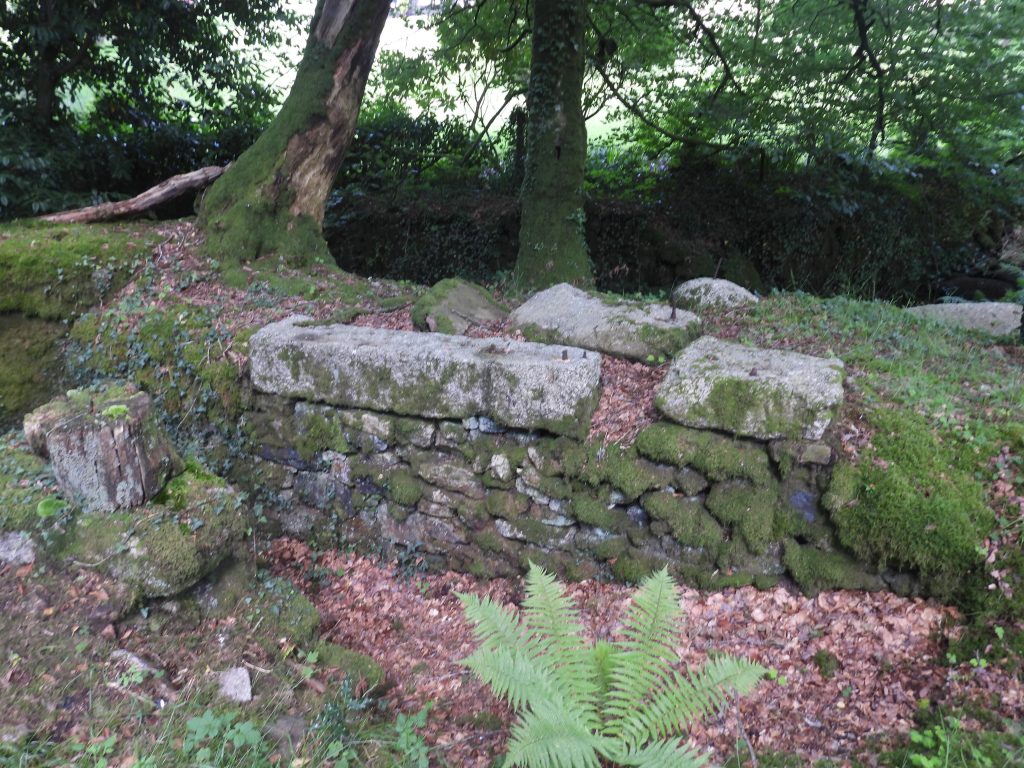
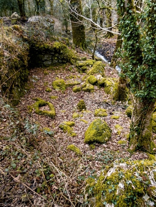
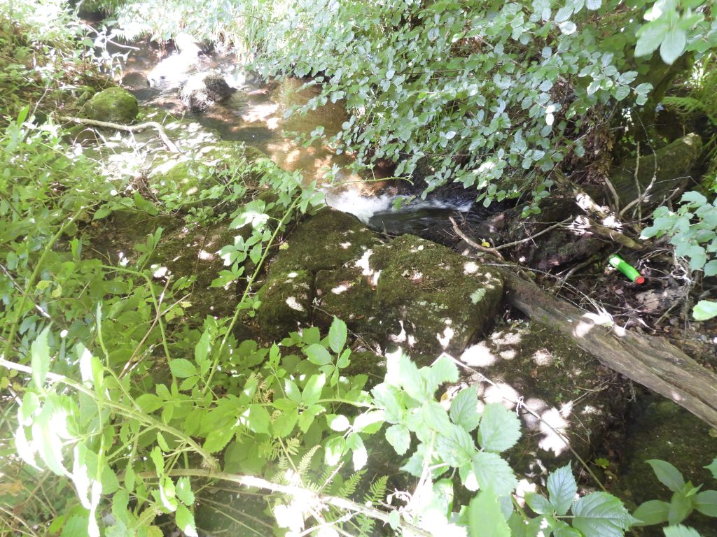
Eggworthy (Hechworthie) Tin Mill, is a well preserved example comprising as it does high walls are built into a bank and within them a Wheelpit, a broken Mould Stone and a Trough. The field immediately above the mill was called ‘Smutty Park’ on the tithe map, which can be translated as Smithy Park, which almost certainly refers to the smelting activities here. Further evidence of the mill being a Blowing (smelting) Mill is that tin slag has been found at the site. The author is grateful to Richard Glanville, who kindly showed the author the Mill, which lies on his land.
Bibliography
The Tinworking Landscape of Dartmoor in a European Context – (2016) – Paper presented by Dr Tom Greeves – Lodges and Mills: The Field Archaeology of Tin Accommodation, Stamping and Smelting on Dartmoor at the conference (6th – 11th May 2016) at Tavistock – Mill numbers 61 & 62
T.Greeves / R.Robinson – (1978) – Site survey, plans in possession of T.Greeves.
Dartmoor Tinworking Research Group (DTRG) – (July 1997) – Newsletter 13, pages 9/10
Dr. TomGreeves – (1981) – Tinners Heaps (Worksheet). SDV355900.
Dartmoor Tinworking Research Group (DTRG) – (November 2021) – Newsletter 61, page 6
J.J Alexander – (1939) – Tavistock in the Thirteenth Century, 225-8 (Article in Serial). SDV247631.
J.E.B.Gover / A.Mawer / F.M.Stenton – (1931), The Place-Names of Devon: Part One, 244
Richard Glanville – (2024) – Pers. Conv.
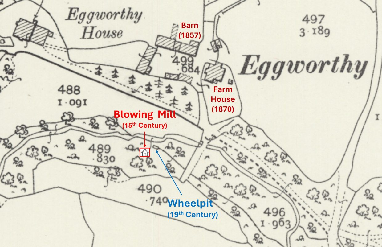
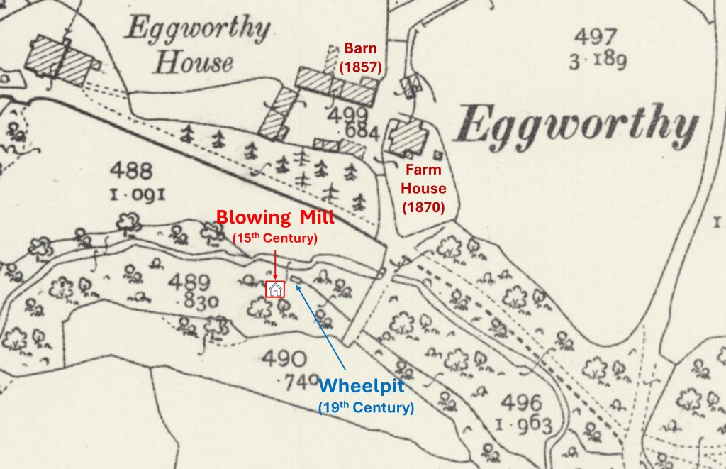
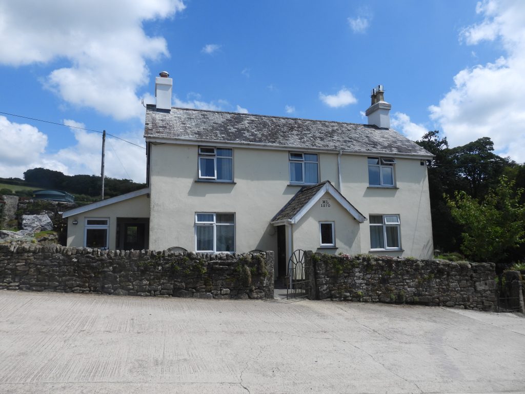
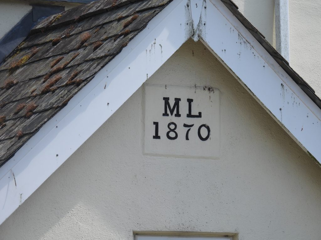
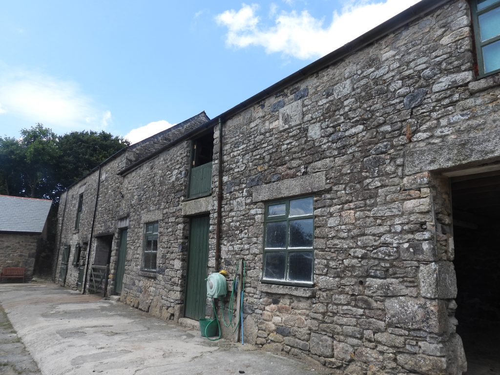
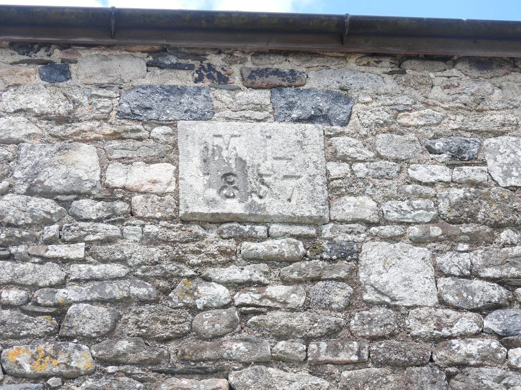
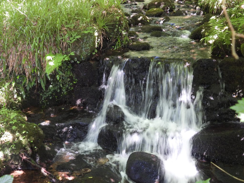
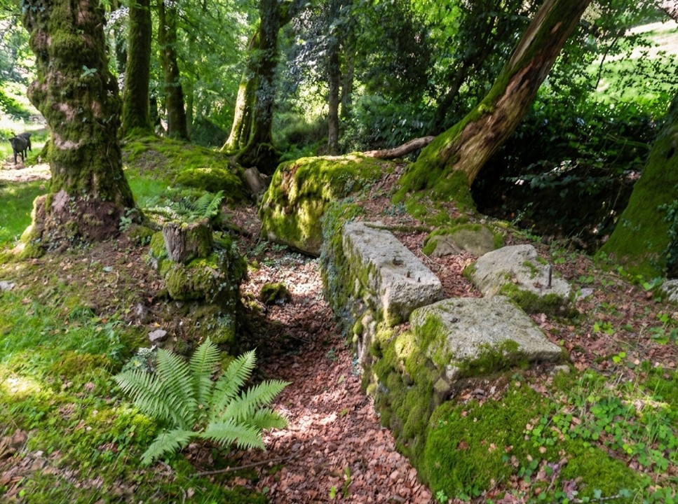
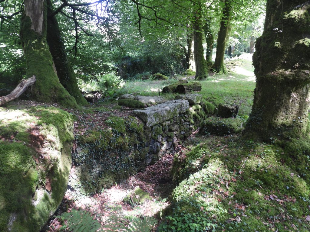
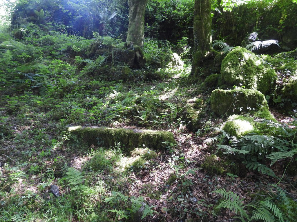
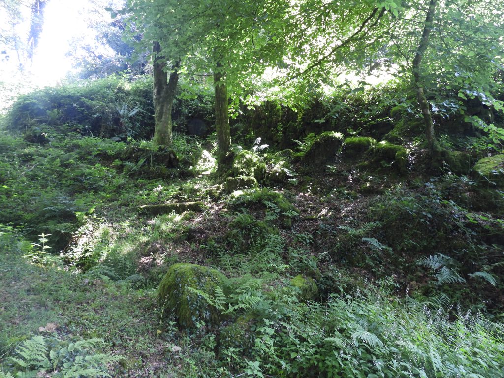
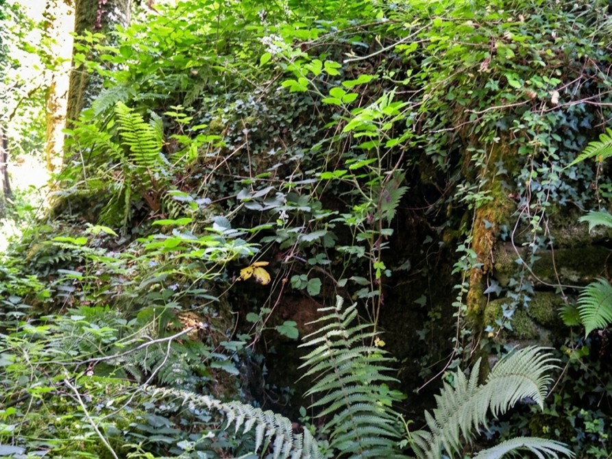
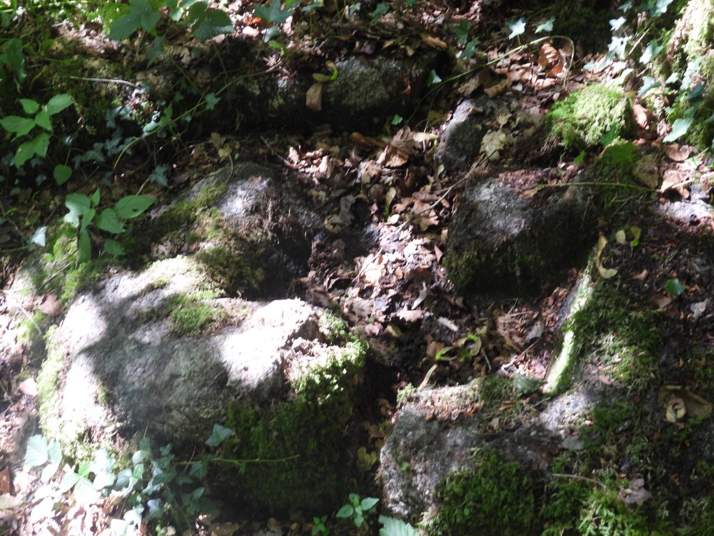
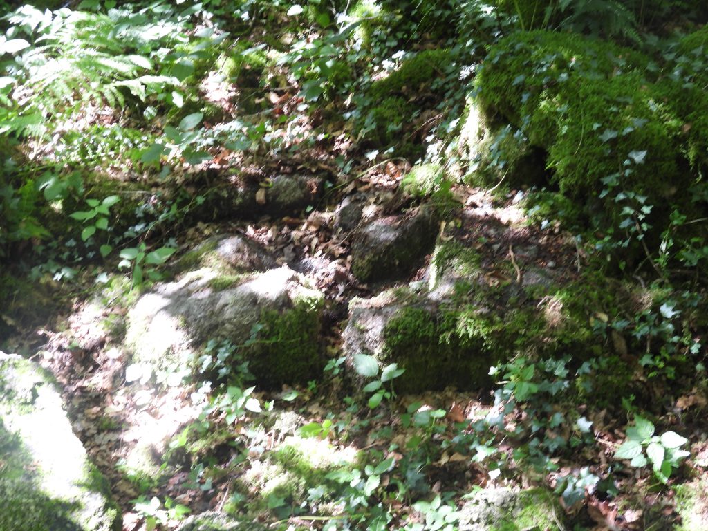
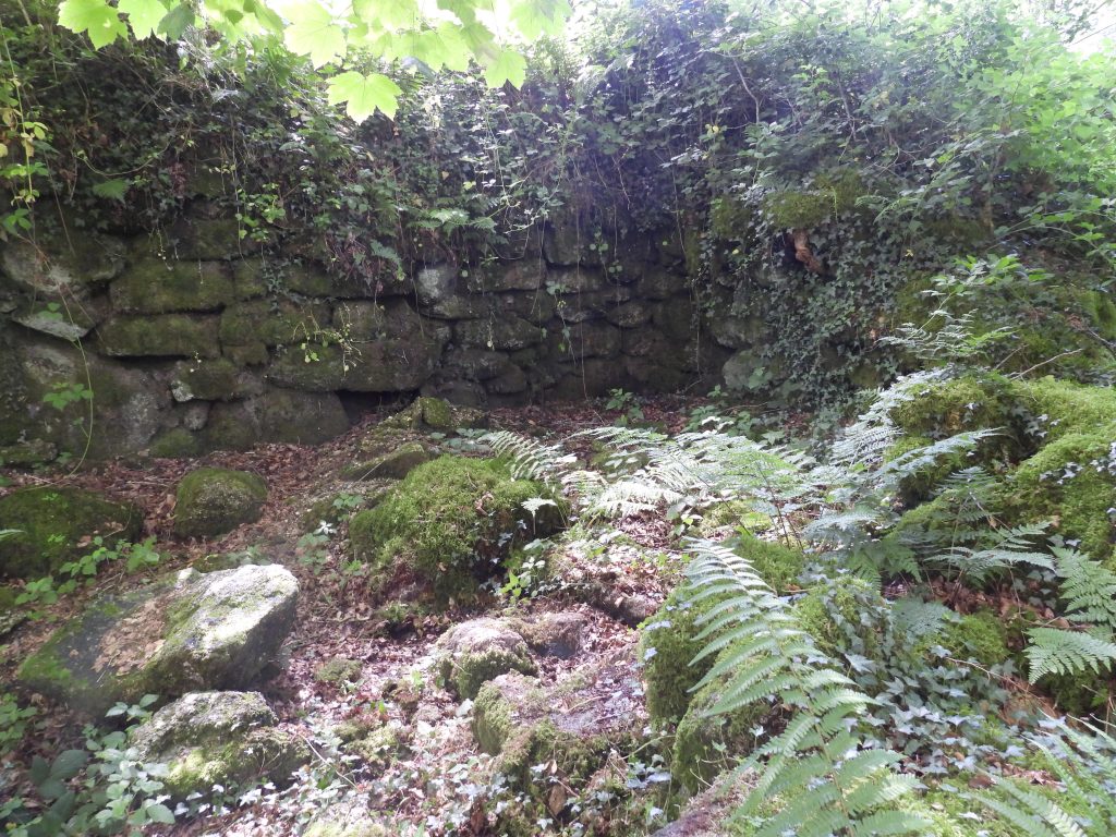
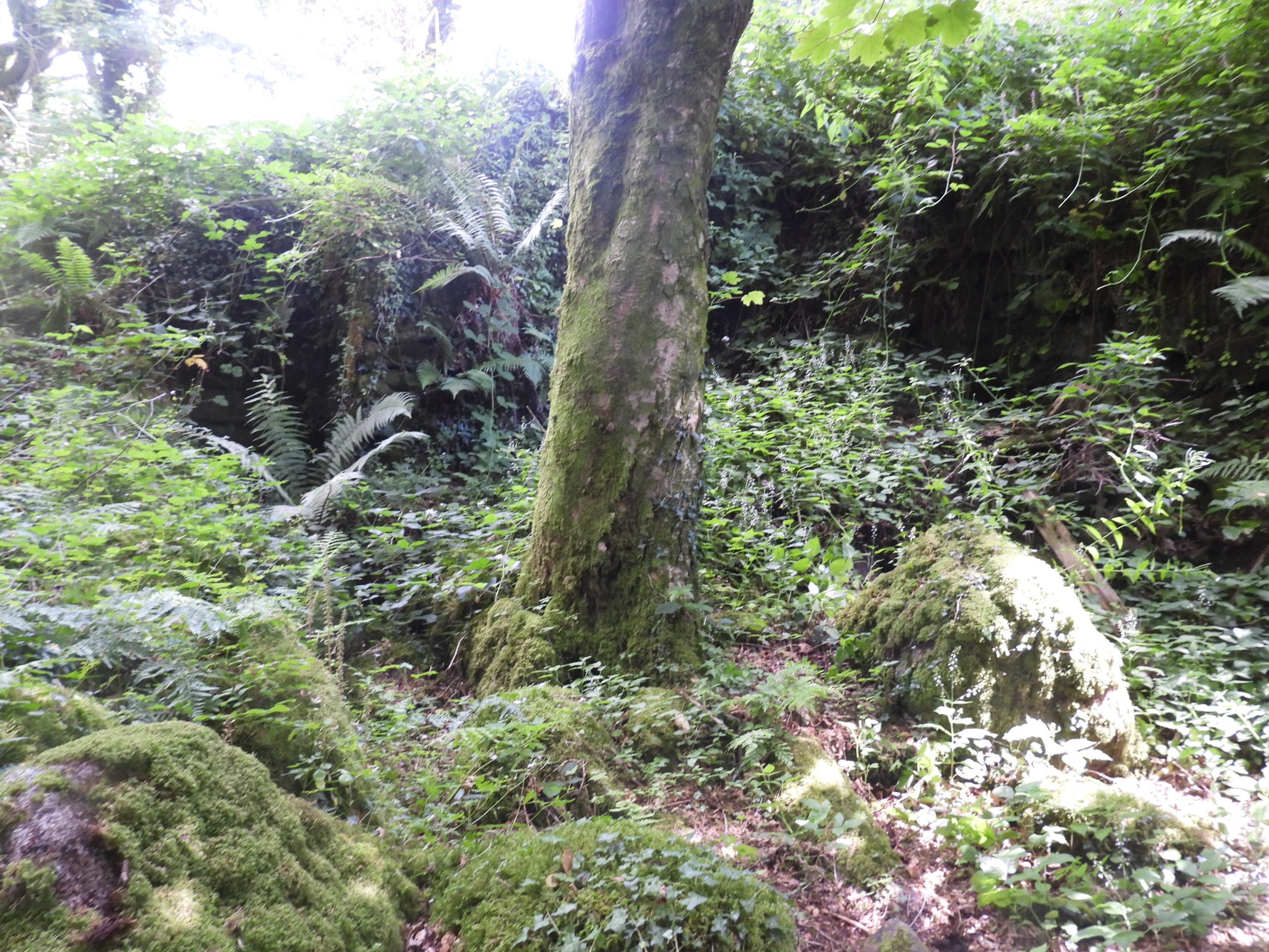
Annotated, late 19th century map incating the location of the 16th century Blowing Mill and a nearby 19th century Wheelpit. The Blowing Mill is located at approx SX5435 7183The present Eggworthy farmhouse was built in 1870. However, the word ‘worthy’ indicates a farmstead has probably been here at least since Saxon times. Eggworthy is depicted on the Tithe Map as having five buildings, with the farmhouse, placed in an irregular rectangle aligned east-west located at the eastern end of the farm.Date plaque on the farmhouse indicating when it was built. ‘ML’ referring to Massey Lopes (14th June 1818 – 20th January 1908), the 3rd Baronet of Maristow in the parish of Tamerton Foliot. He was an MP and agriculturalist.Barn at Eggworthy, built (or remodelled) in 1857Date plaque on the barnWaterfall between Furzetor and Eggworthy. A short way upstream there is a concrete reservoir which had been built by the Campbell family, in the 1940s, to service a waterwheel for the generation of electricity for Eggworthy House.This well preserved structure is a 19th century Wheelpit with adjacent machinery mounting blocks, which once powered farm machinery in the farmyard at EggworthyThe Waterwheel here was used to generate electricity for Eggworthy farm in 1930’s. A sluice gate was operated by a pulley wheel which is still visible on the side of the barn today. The Wheelpit however, appears to have been constructed in the late 19th century according to cartographic evidenceLooking east into the WheelpitThe entrance (between the two trees) to Eggworthy Blowing MillA small clapper is crossed when accessing the MillA wider angled view of the Mill. It is a well preserved structure which has been recorded as having internal length 8.9m by 3.7m. (Greeves / Robinson – 1978)
A winter view of the mill from the east end (near the Wheelpit). Three retaining walls remain here with only the front elevation (to the north) having been reduced to foundation level. The walls which survive are around 2m tall
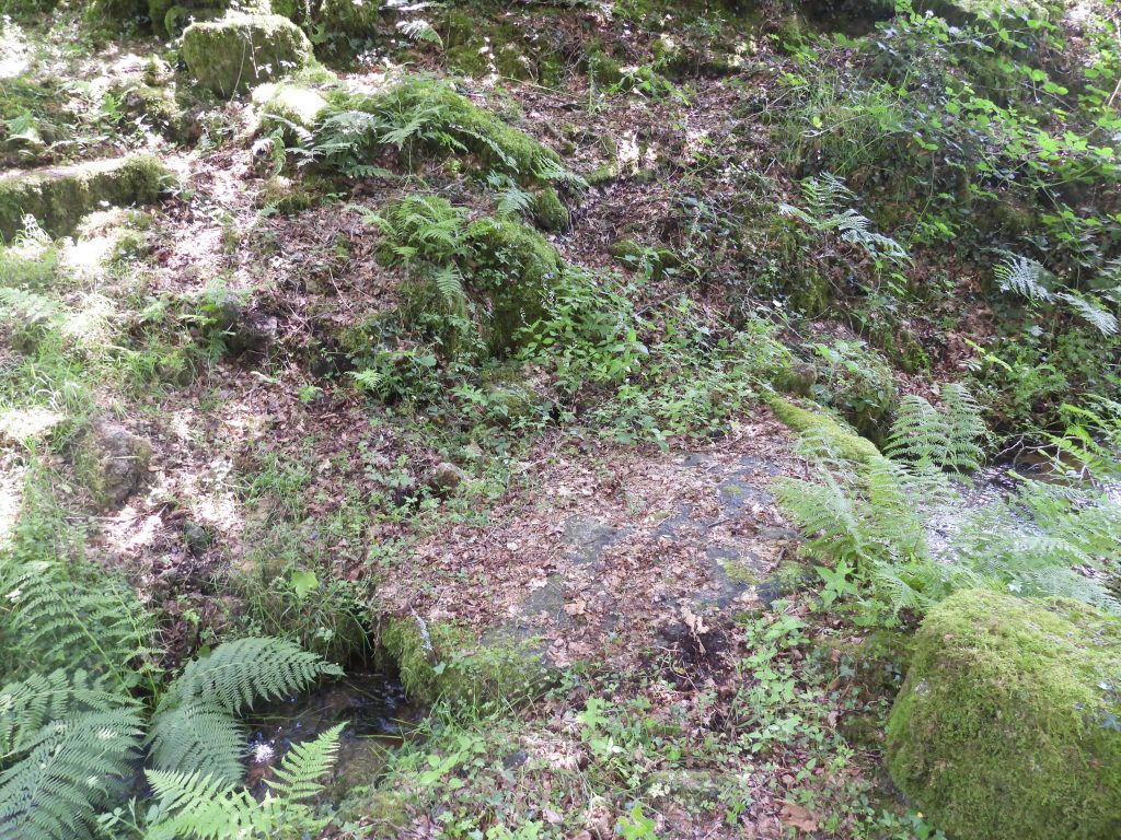
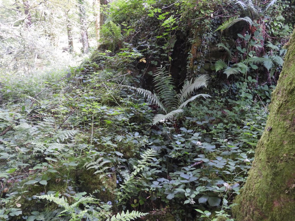
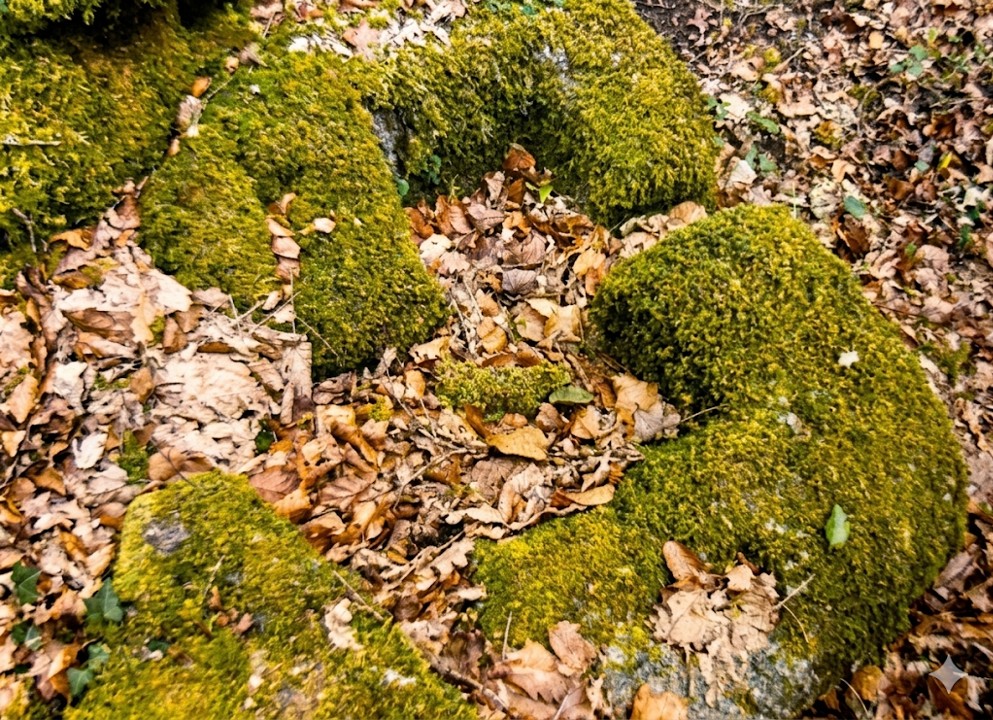
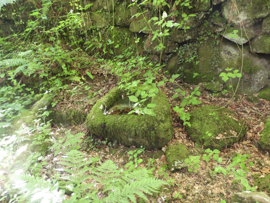
Evidence of a Waterwheel on the north east corner of the Mill. The land above the Wheelpit has been much disturbed over the centuries and there are no remains of the leat which would have once fed water to the wheel.Within the Mill are the remains of a Wheelpit of 4.7m length and 0.85m width. (Greeves / Robinson – 1978)Broken Mould Stone, evidence of this once having been a Blowing MillBroken Mould Stone – a summer viewBroken Mould Stone – a winter viewWell preserved walls at south west corner of the mill. Might the bellows and furnace have been located somewhere in this area?From the Mill entrance, looking towards the east end of the MillThere is a large trough to be found within the ruins of the mill. Downstream from the Blowing Mill, there is a reputed second potential mill. It is difficult to access and photograph and any potential structure appears to be made up of natural boulder alignments. With the terrain as it is at the supposed location and there being no conclusive evidence there is an element of scepticism from the author