A collection of walks, discoveries, insights and pictures of exploring Dartmoor National Park
July 18, 2026
Dartmoor 1000 – South East
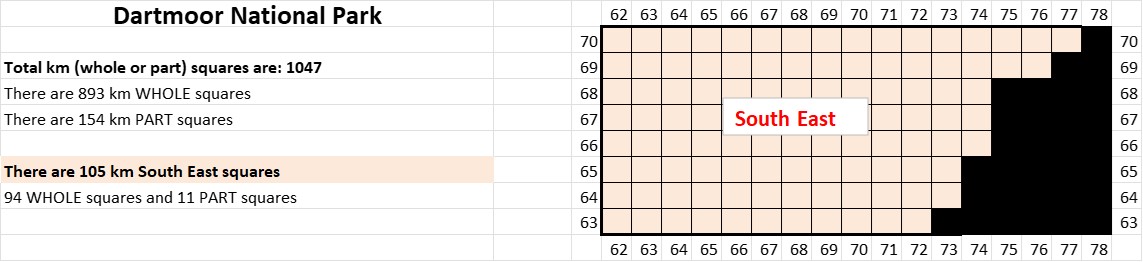
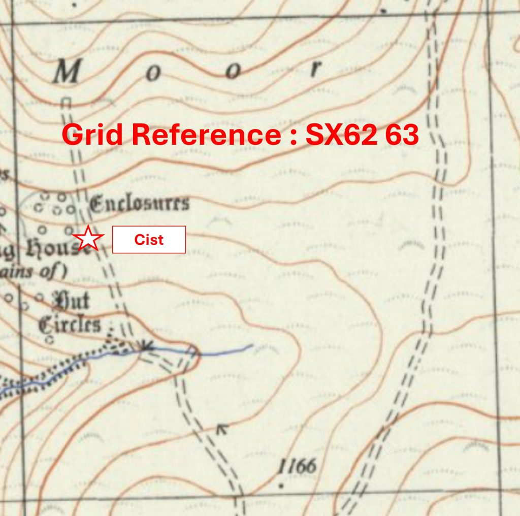
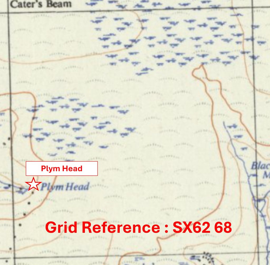
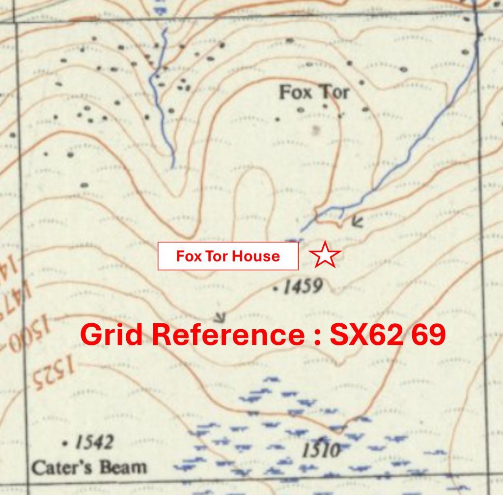
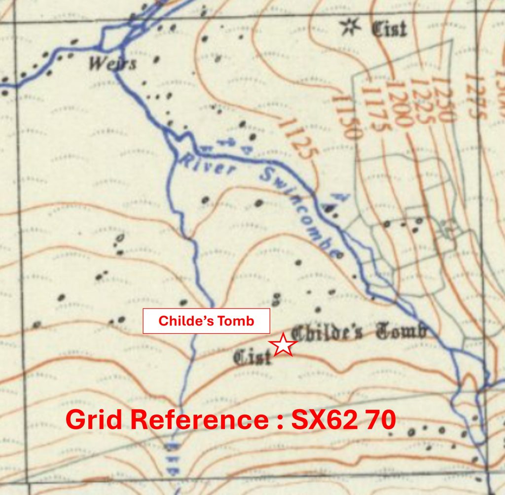
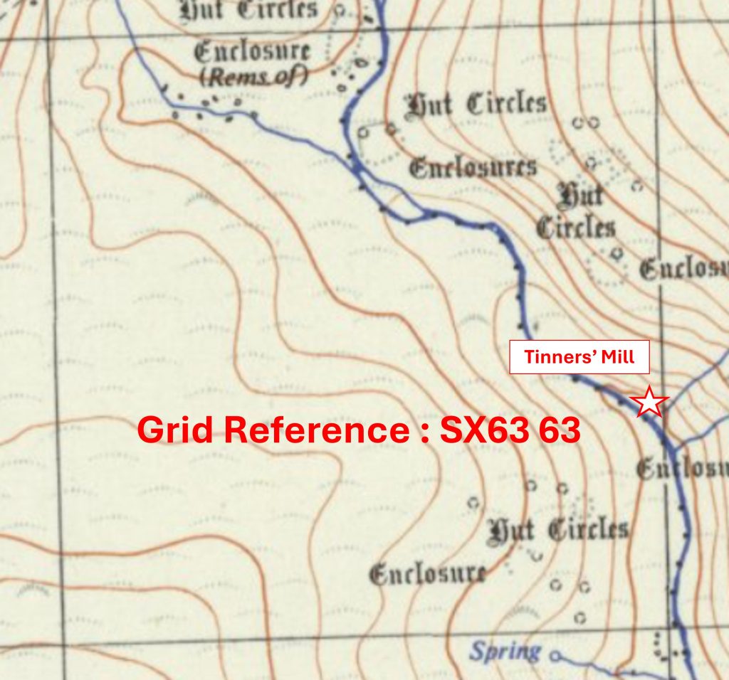
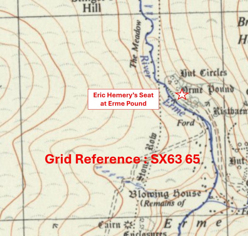
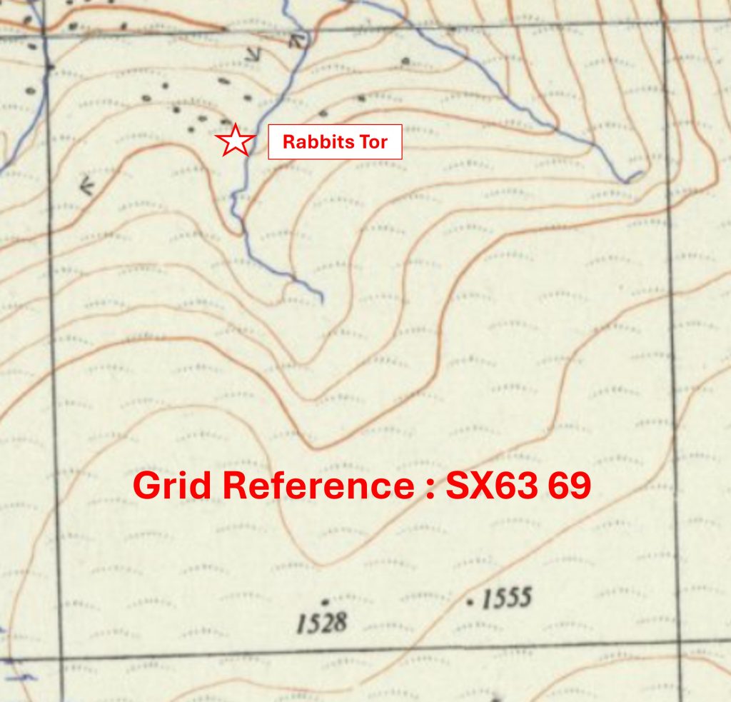
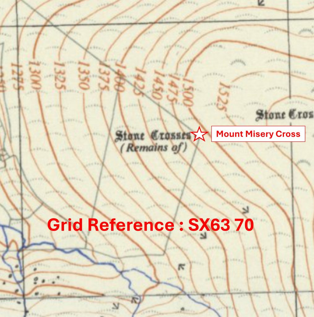
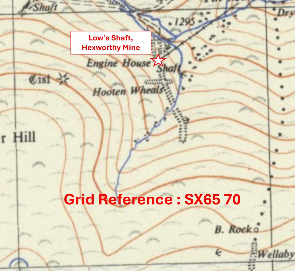
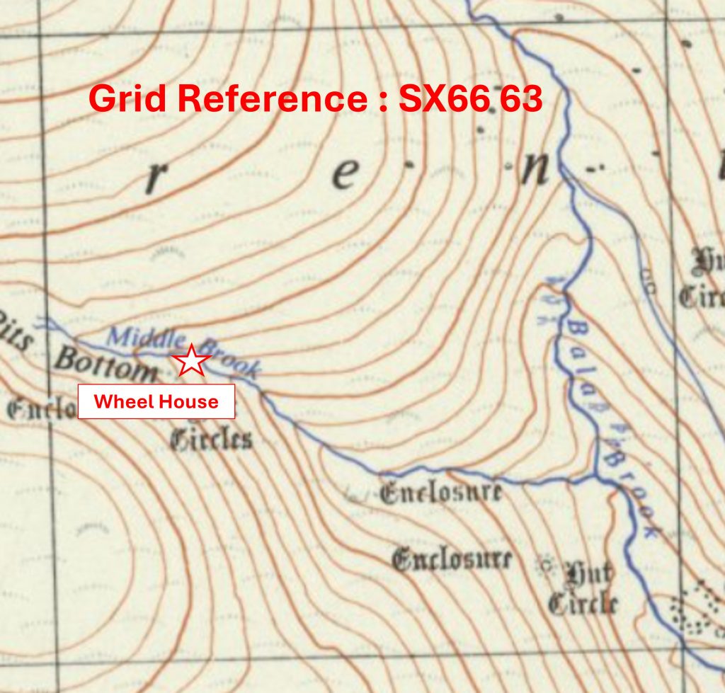
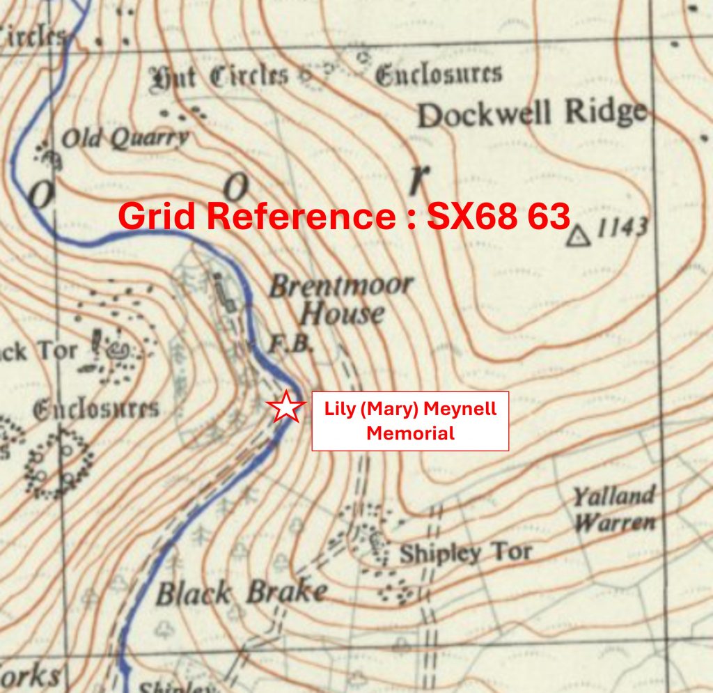
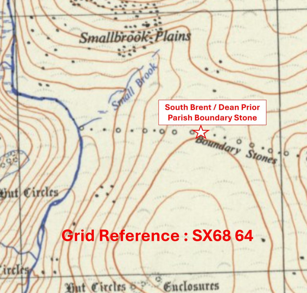
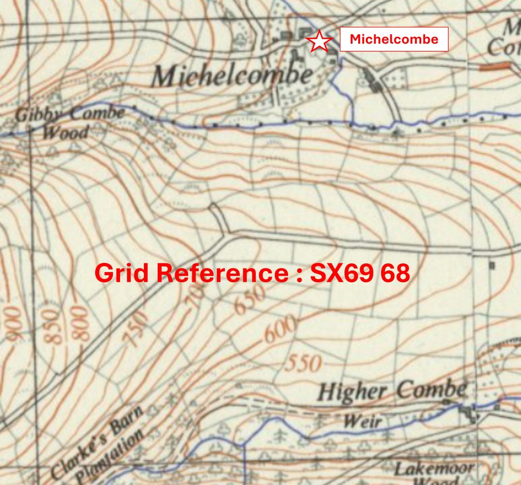
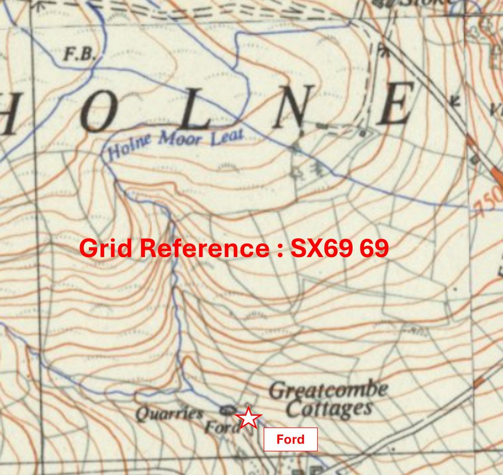
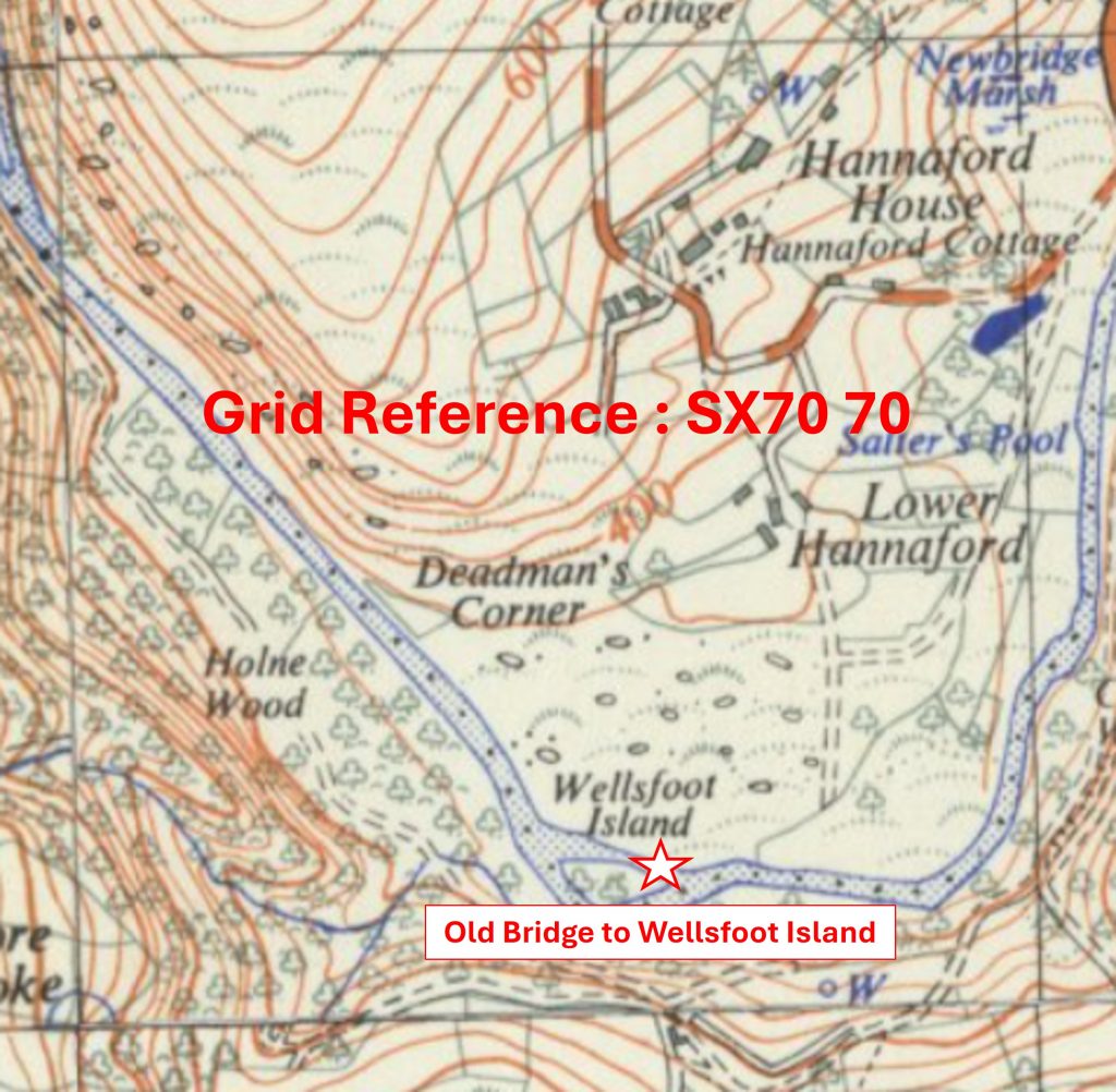
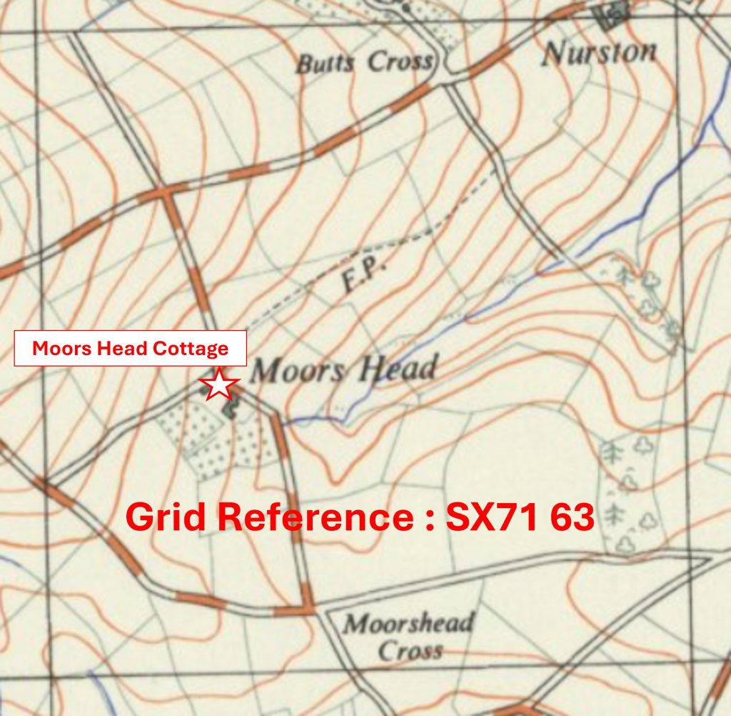
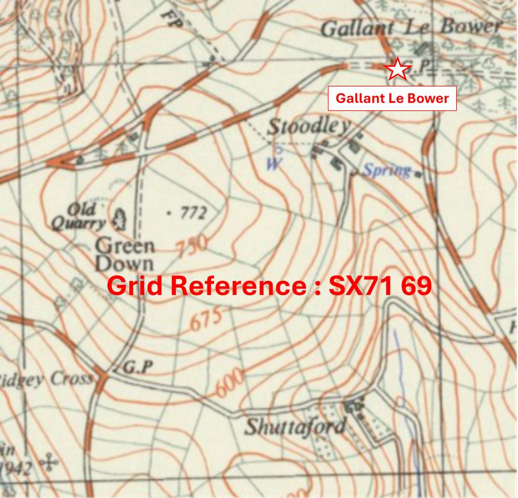
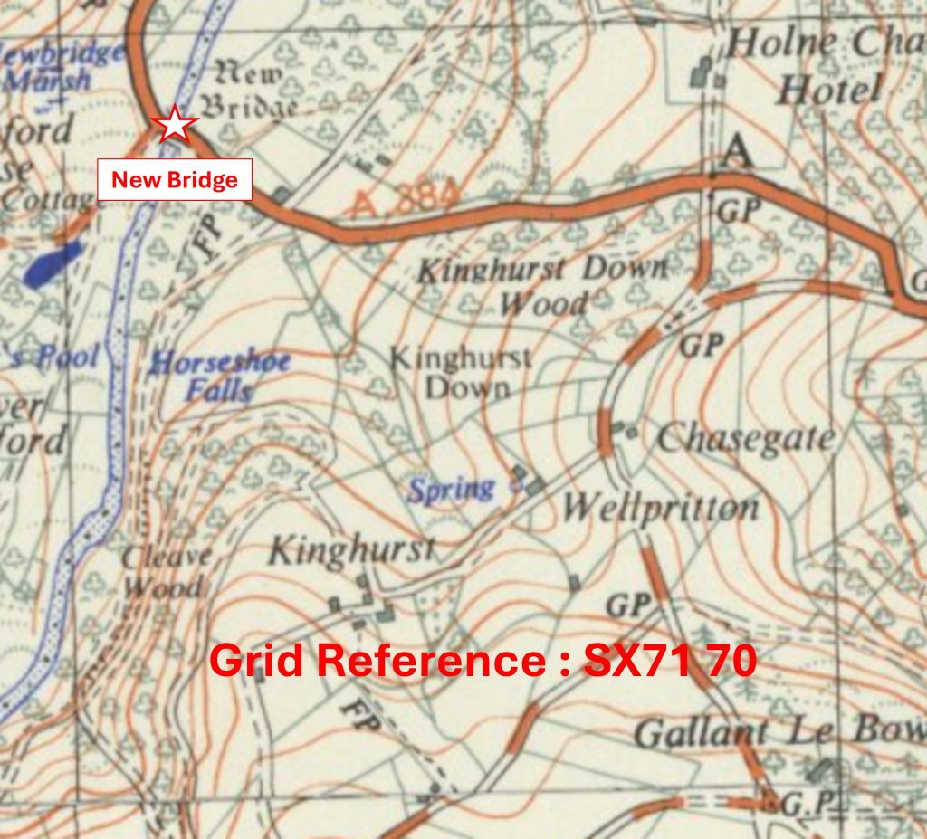
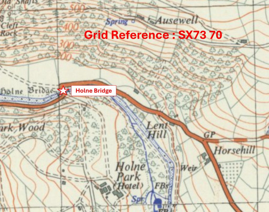
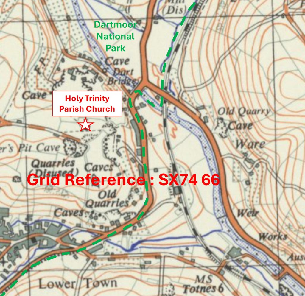
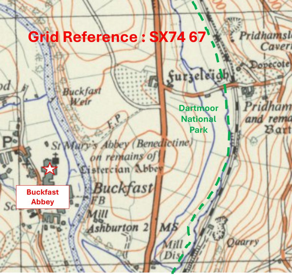
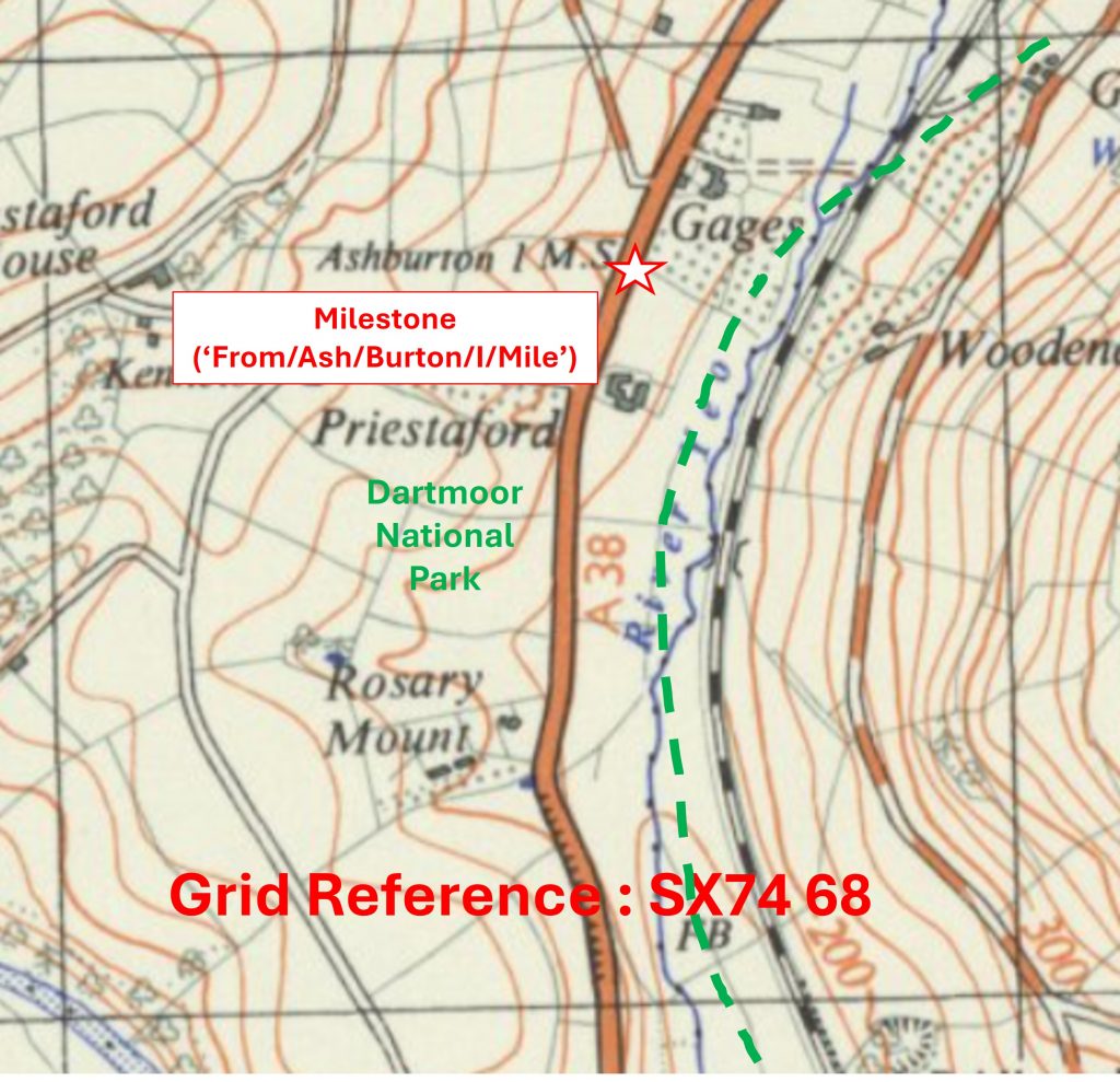
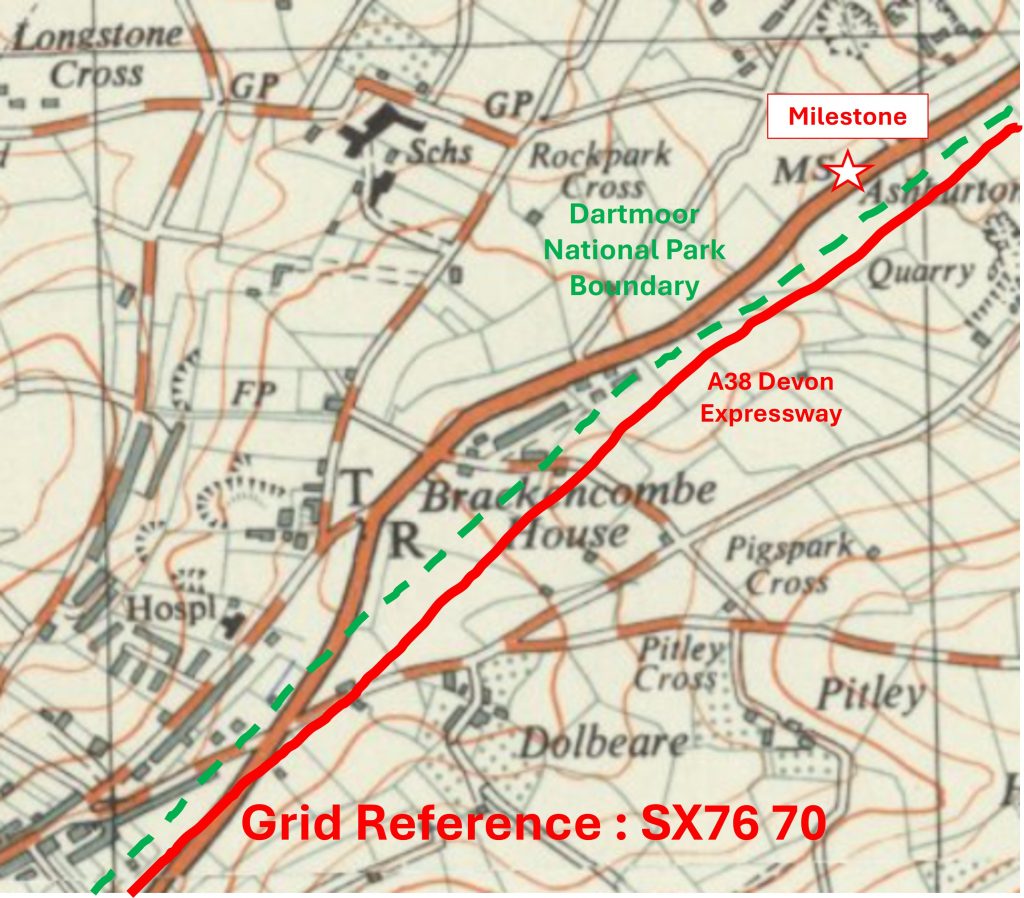
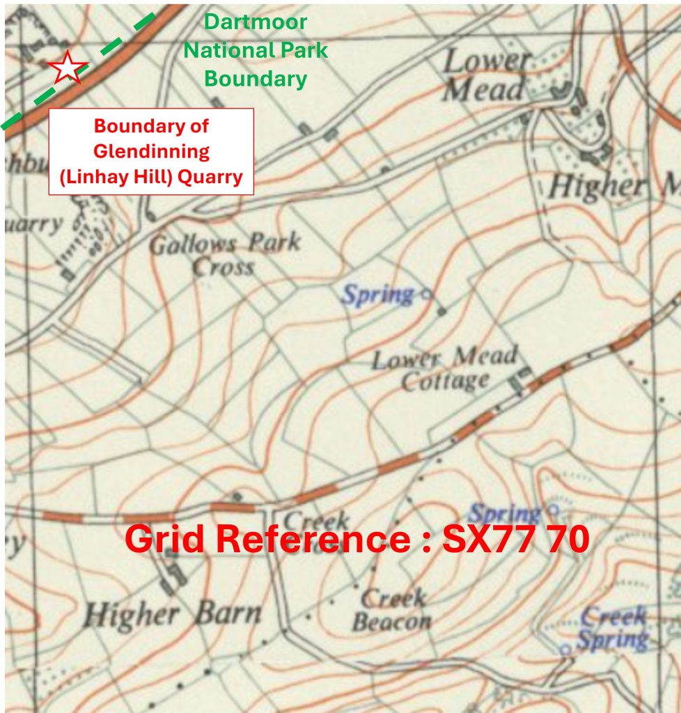
The recording of the ‘South East’ area in the Dartmoor 1000 project is 100% complete, with all of the total of 105 ‘whole’ or ‘part’ squares recorded. Each km square is referenced with: an annotated map ‘snippet’ showing the SX grid with the location of the chosen artefact to represent the square and a photograph of that artefact. The OS map ‘snippets’ are 70 years old and not subject to copyright
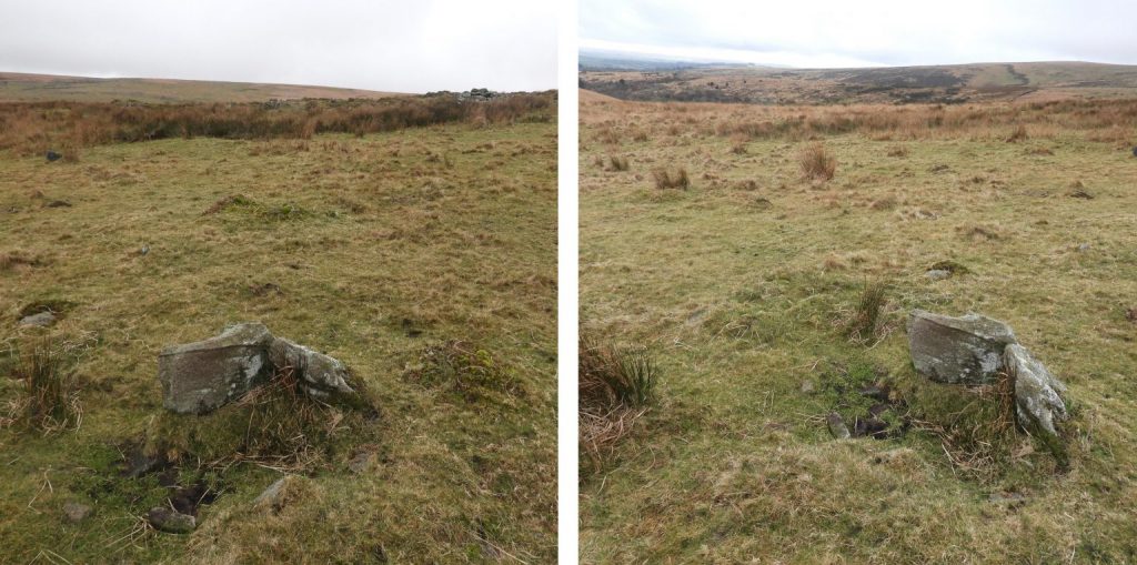
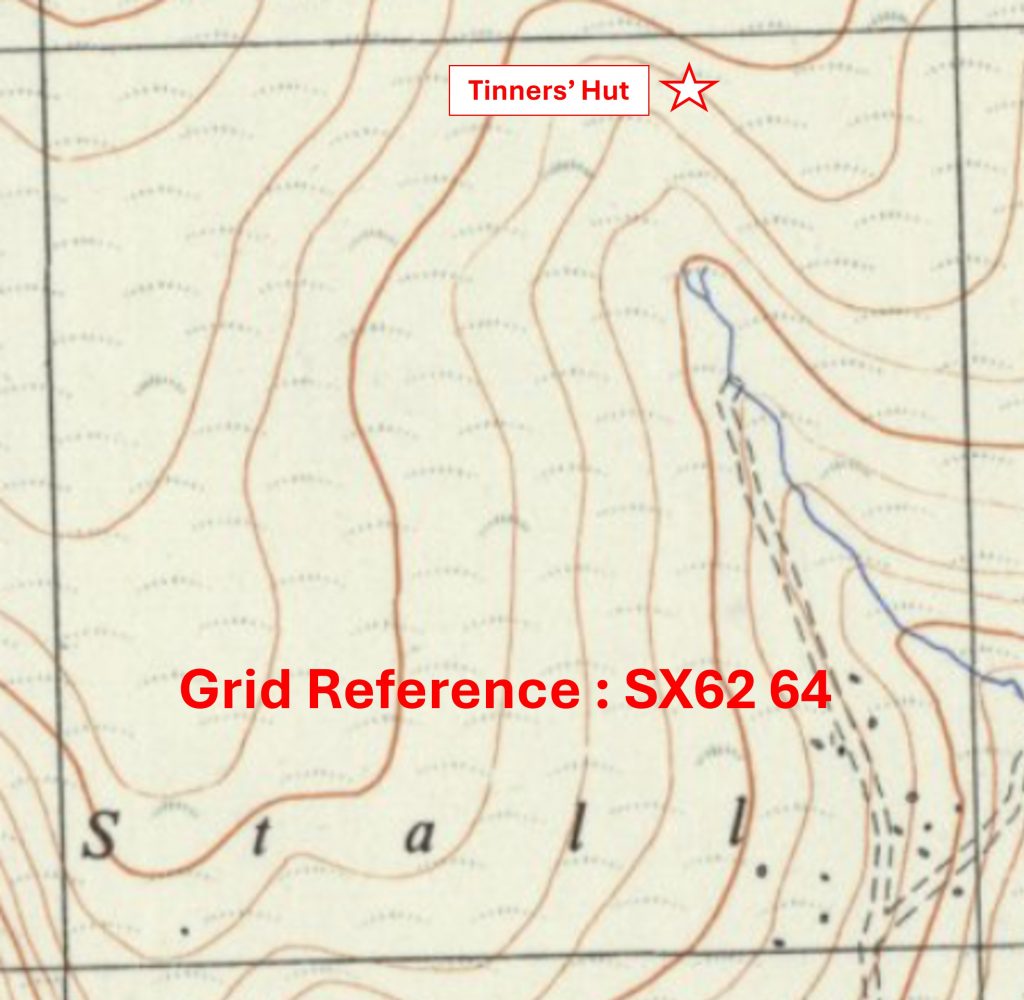
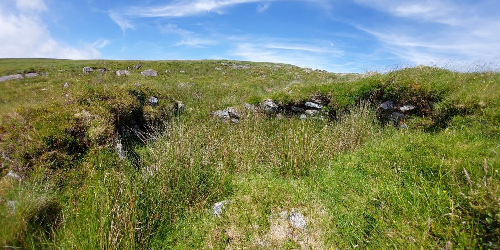
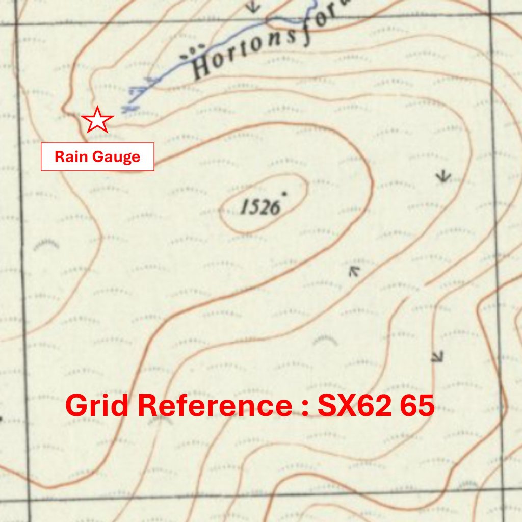
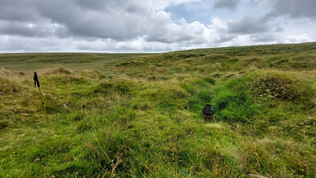
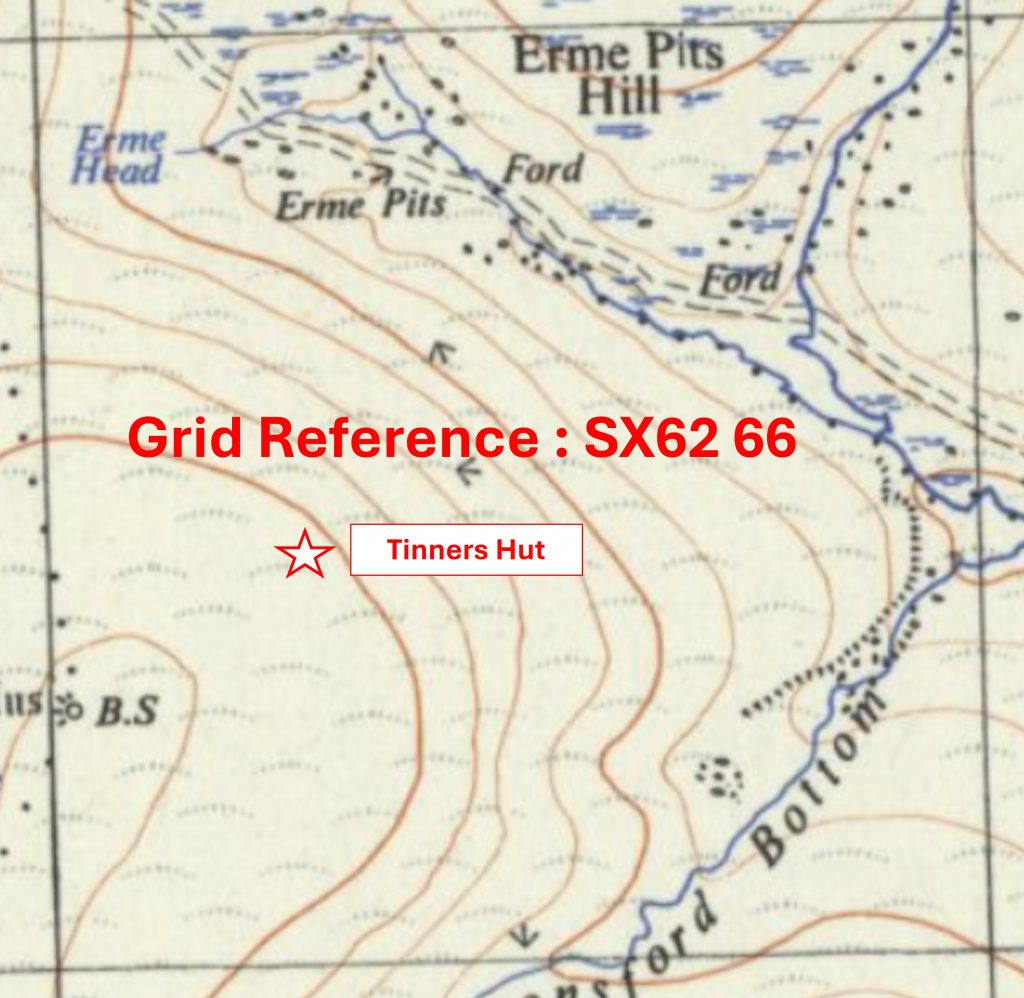
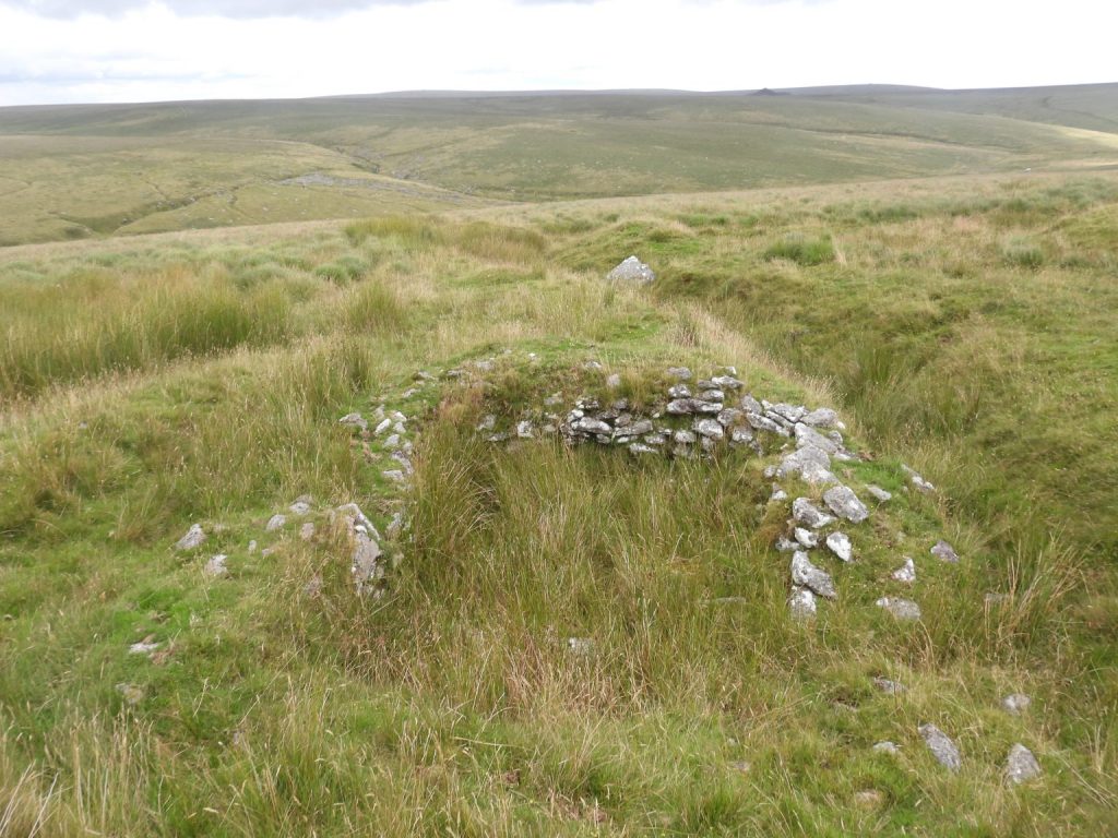
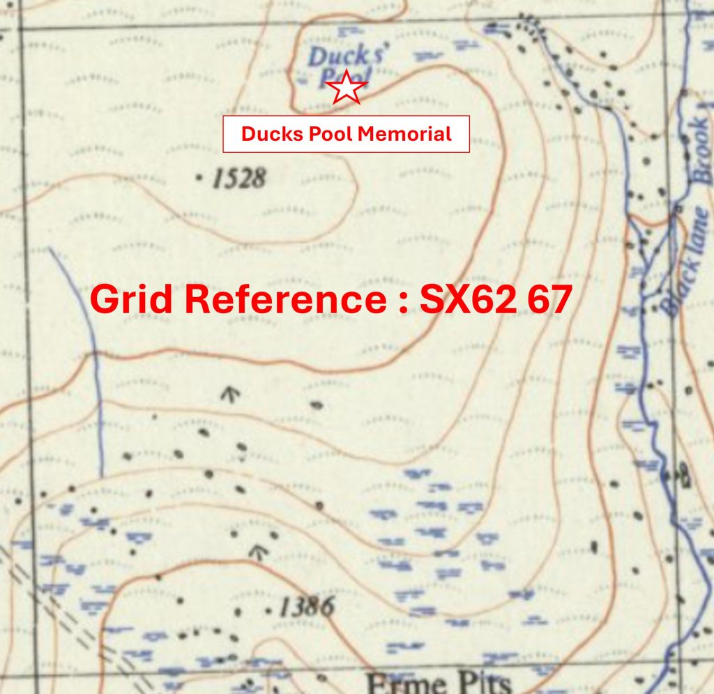
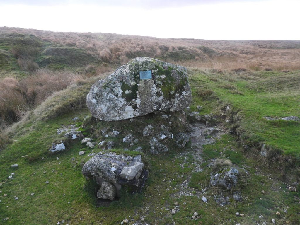
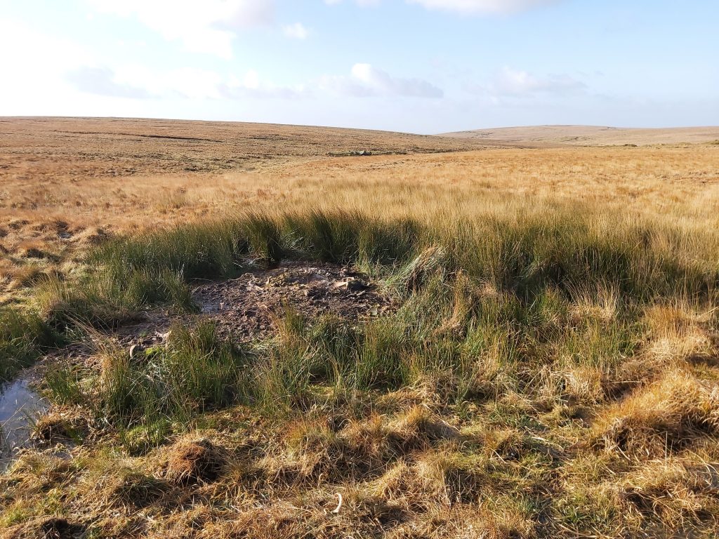
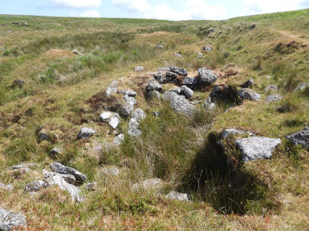
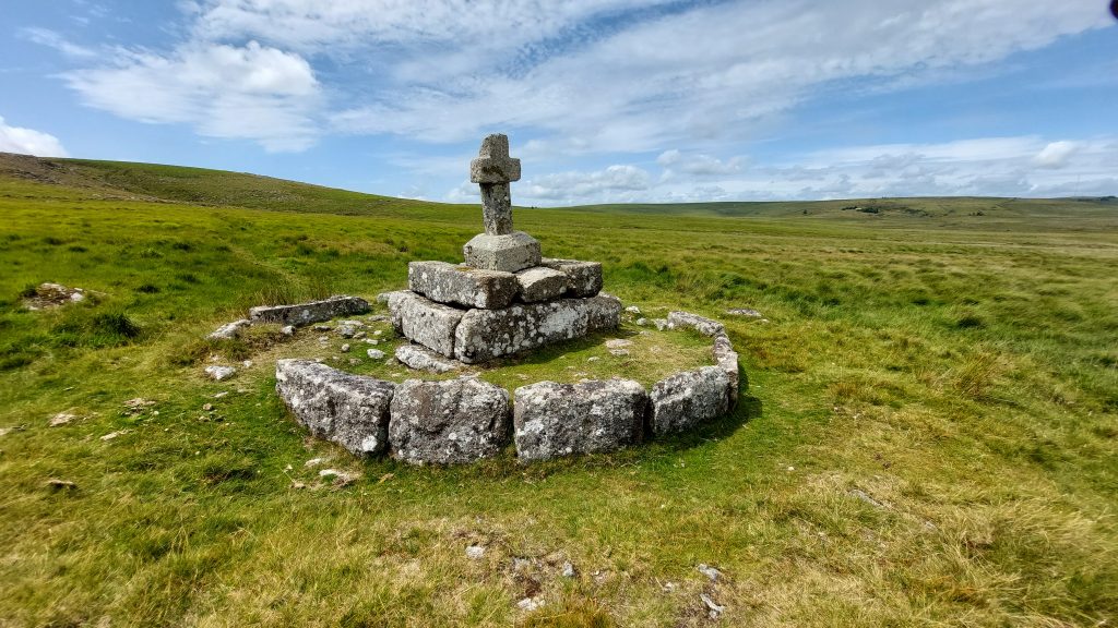
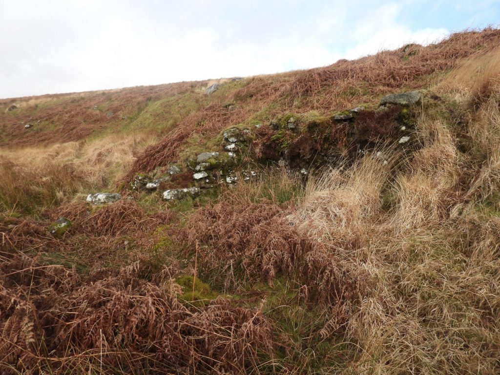
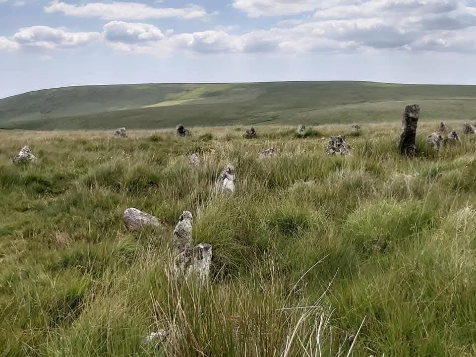
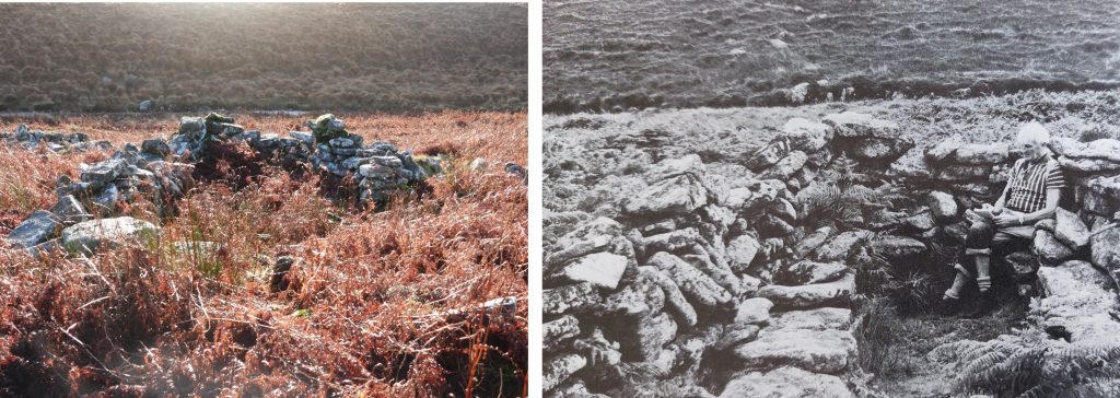
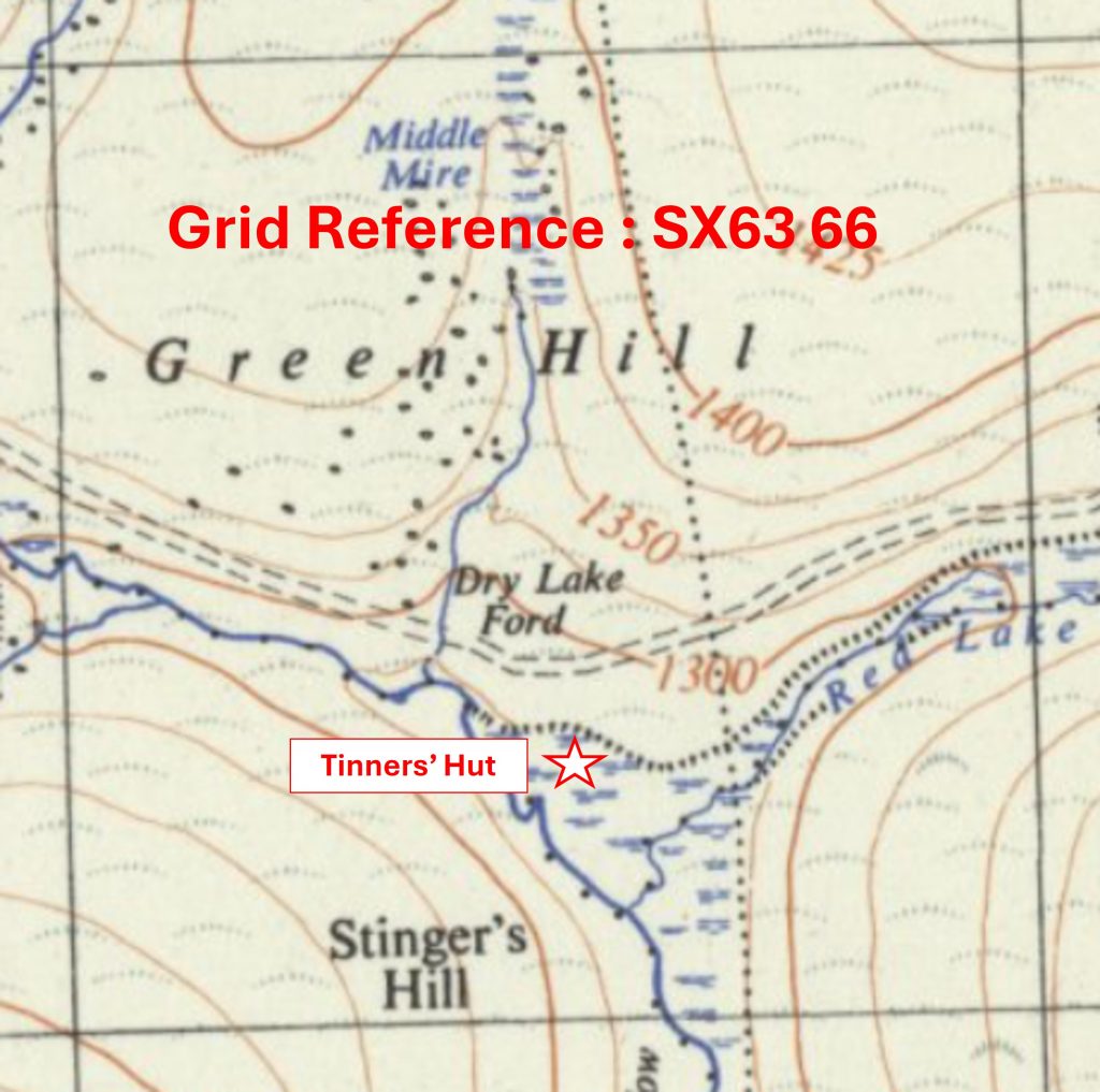
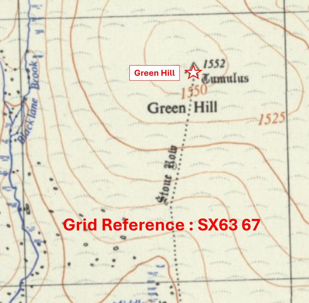
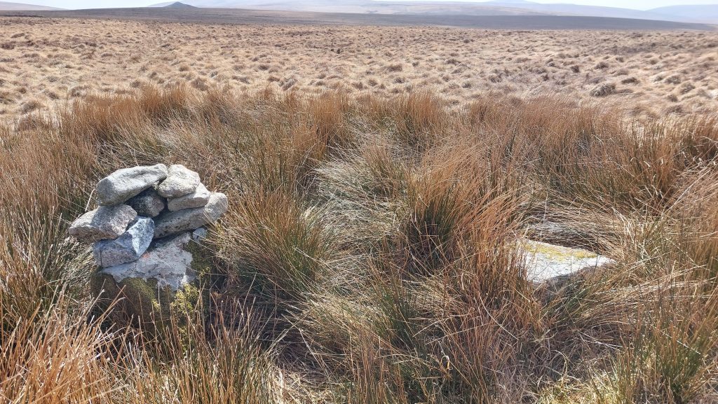
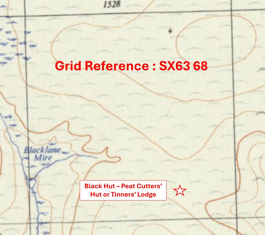
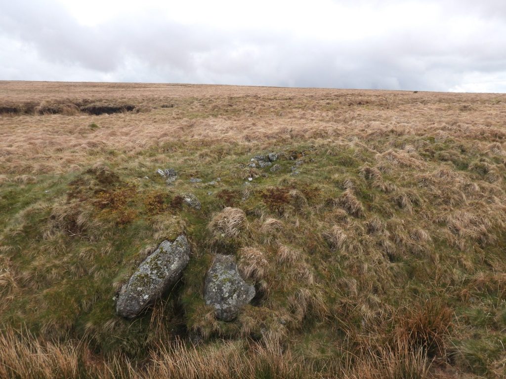
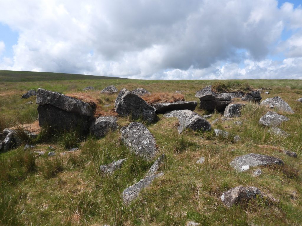
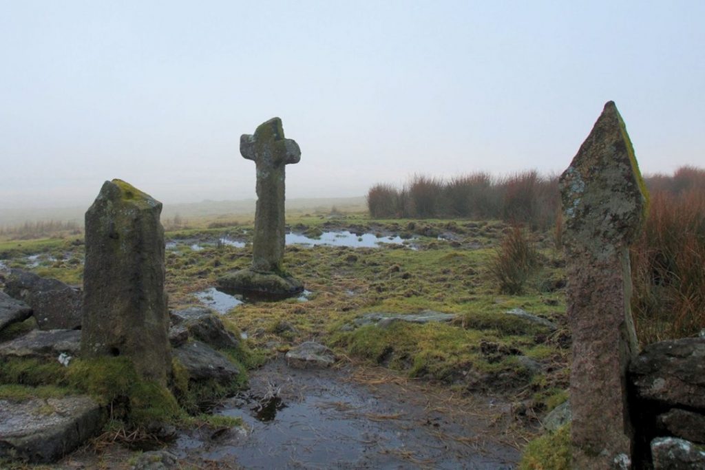
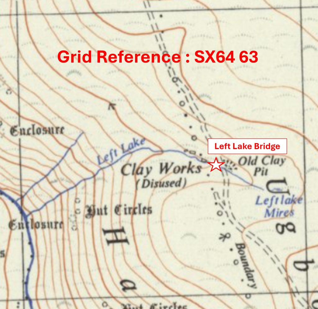
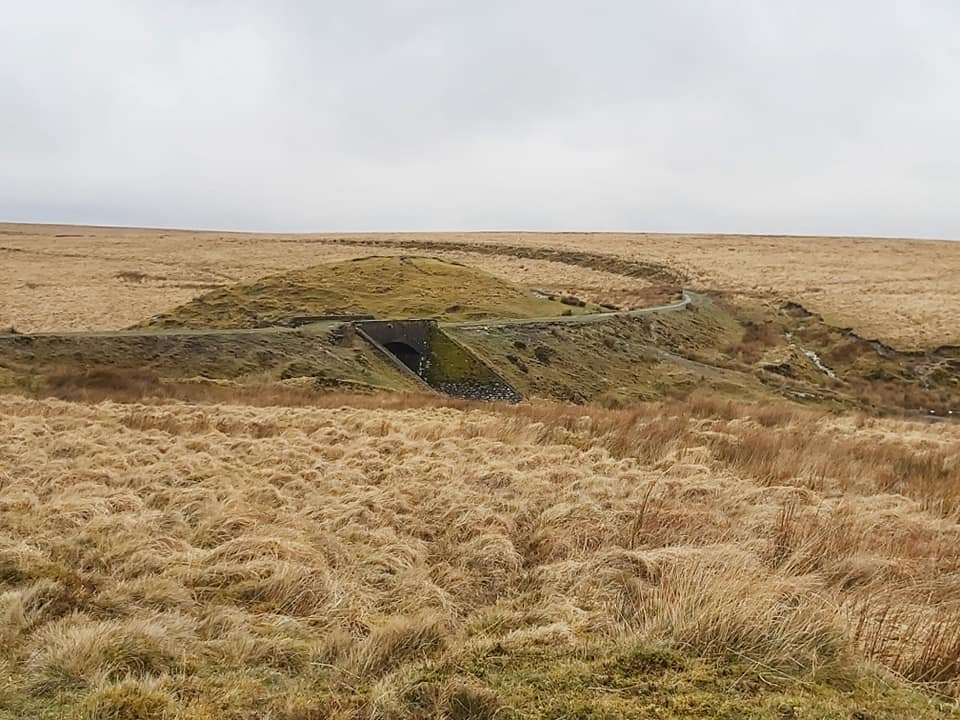
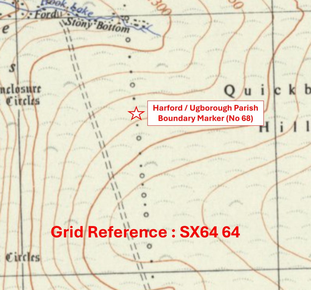
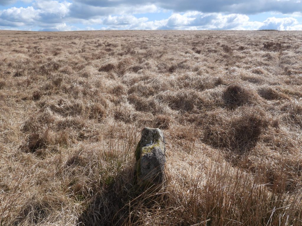
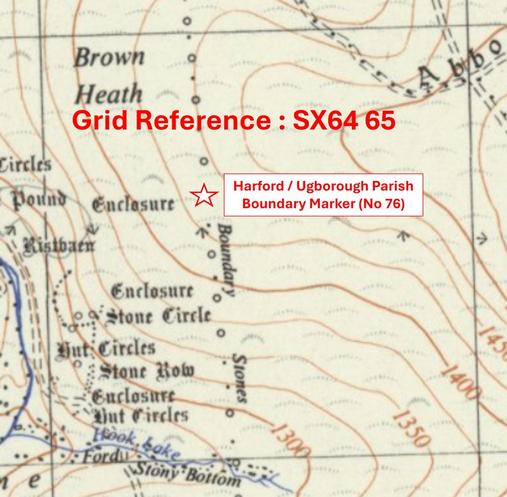
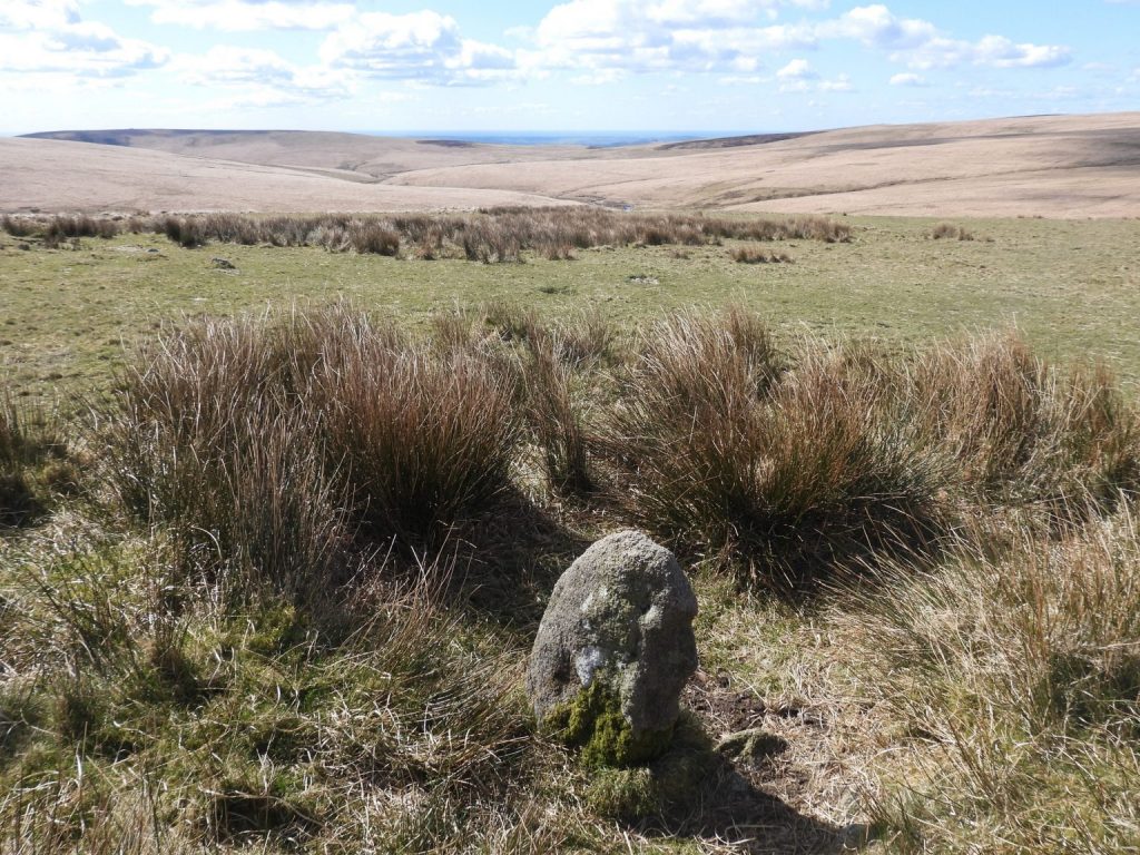
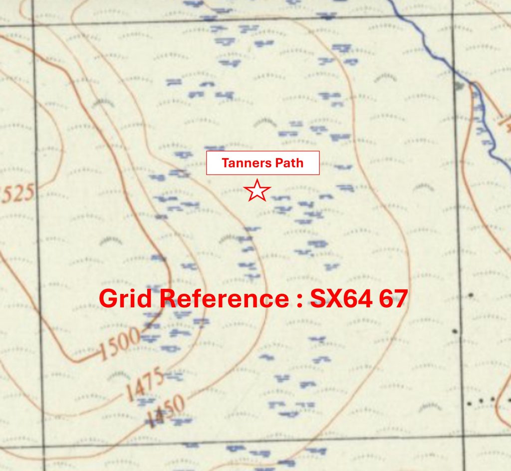
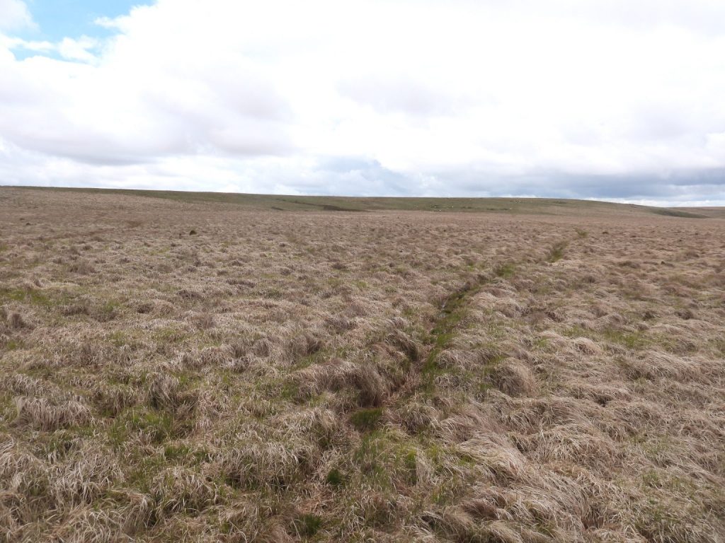
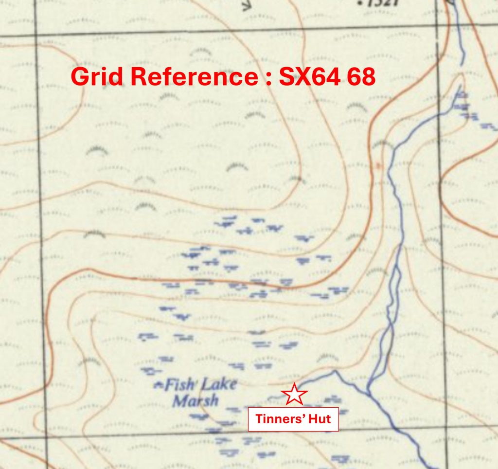
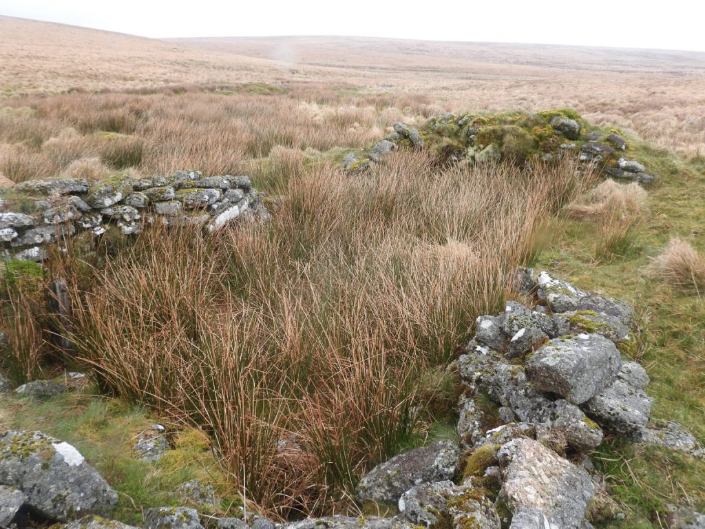
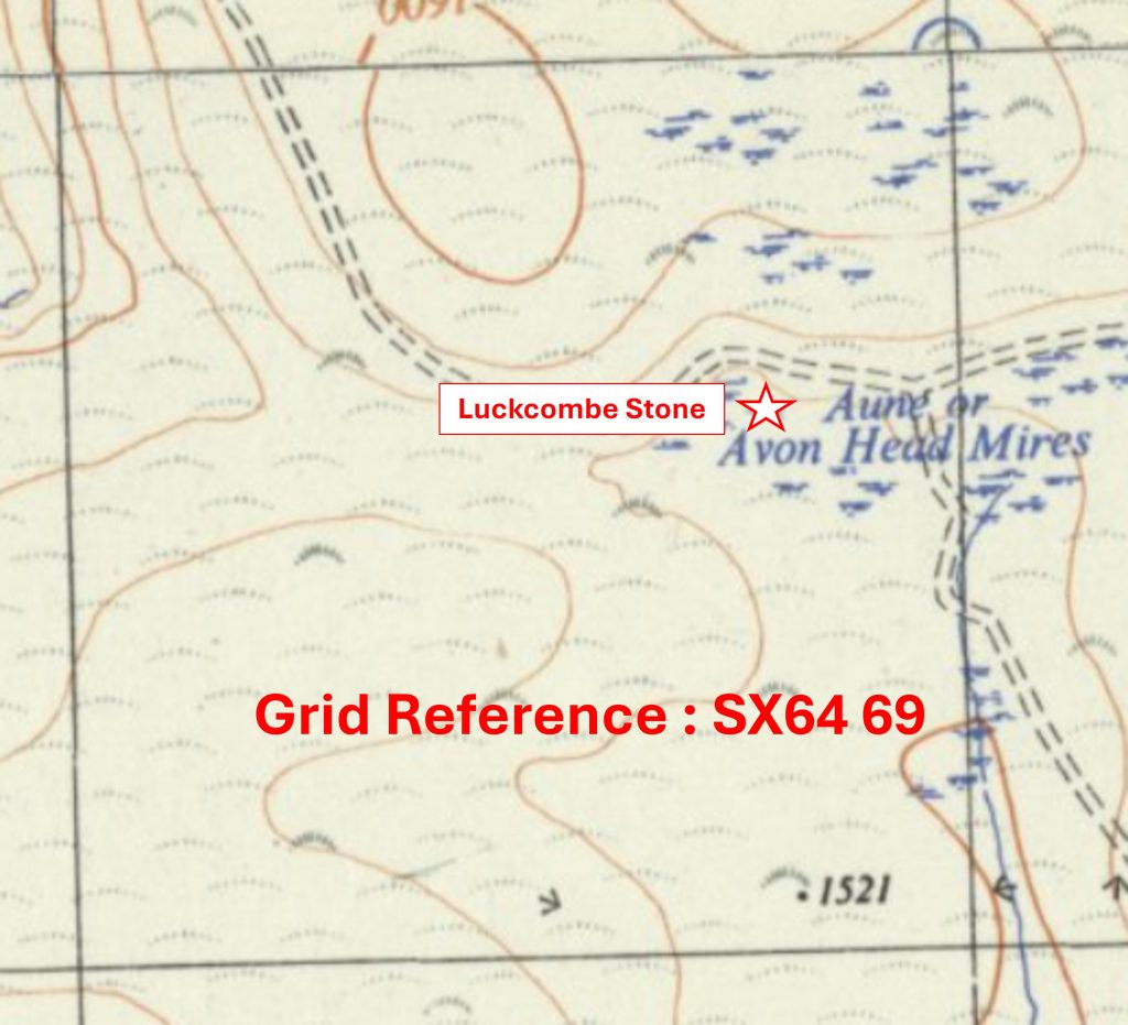
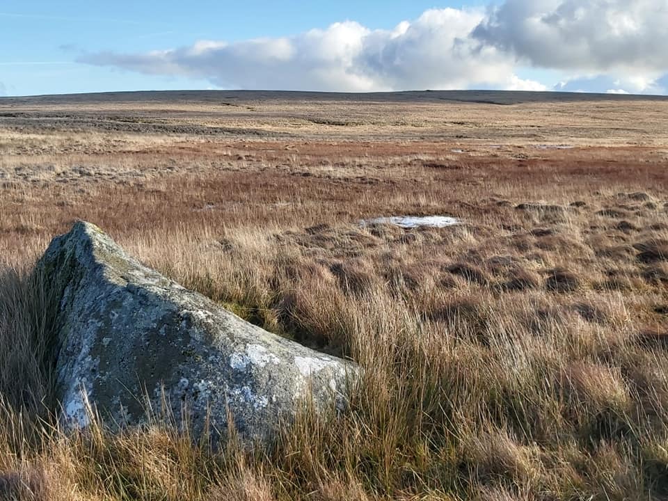
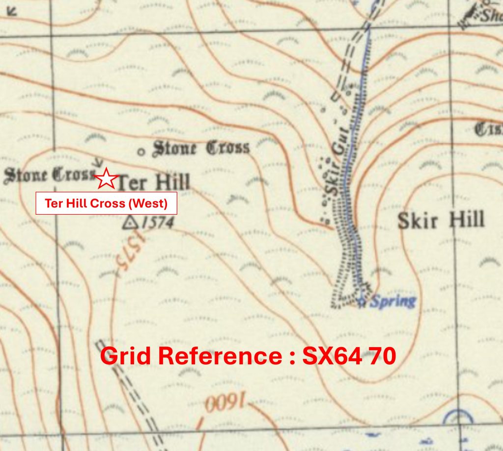
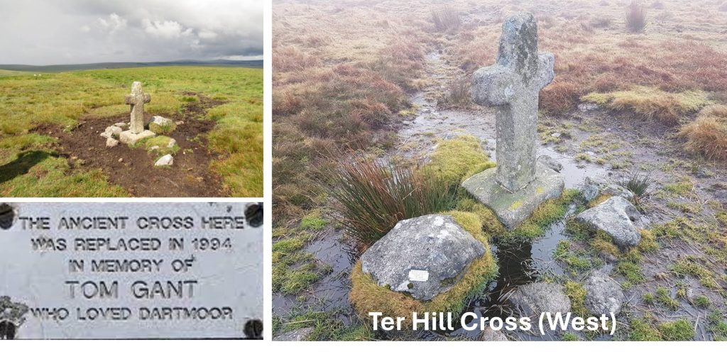
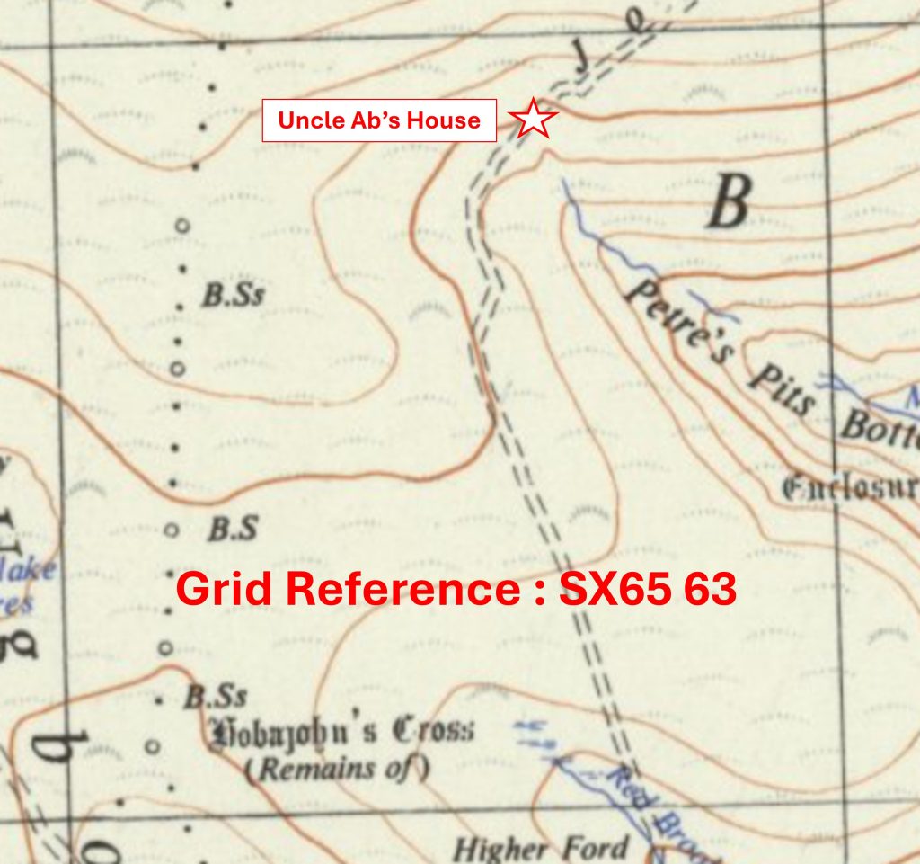
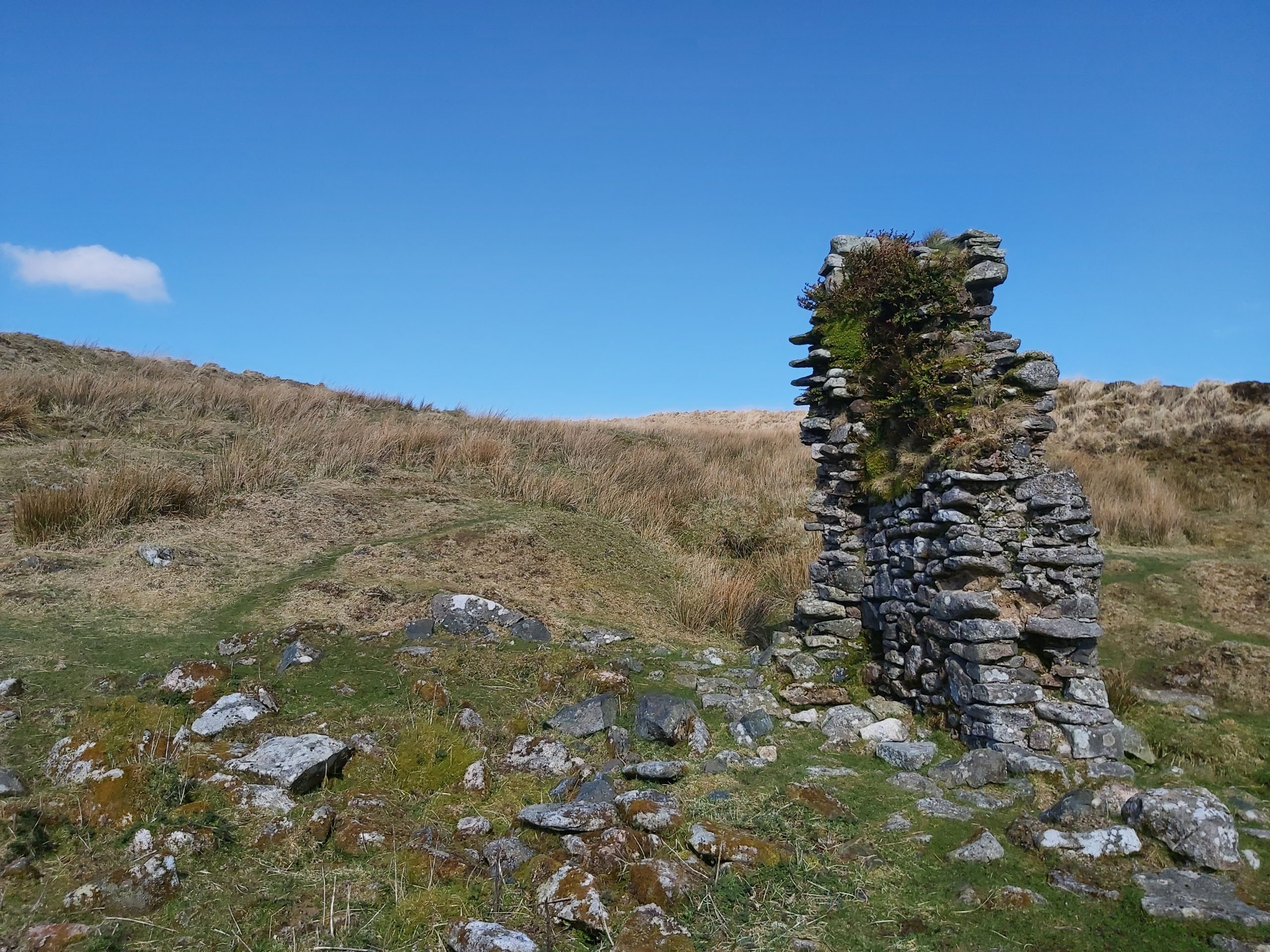
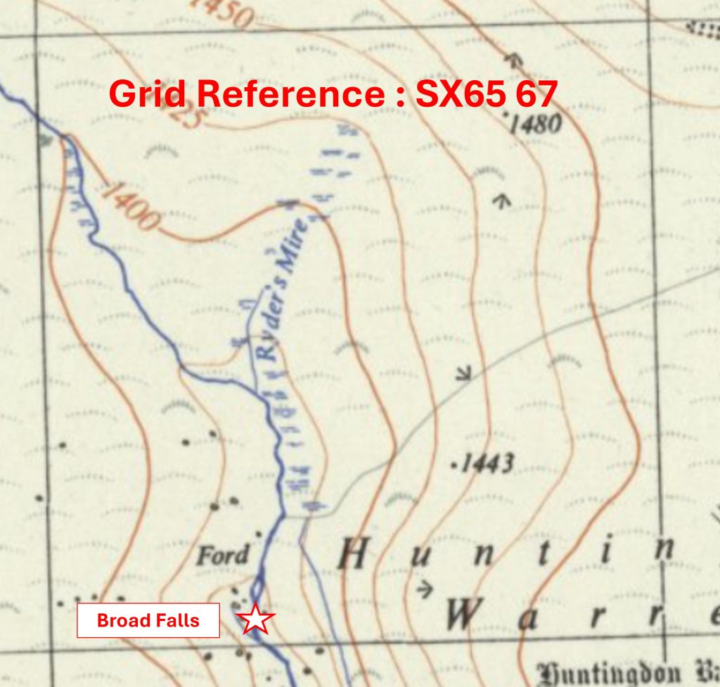
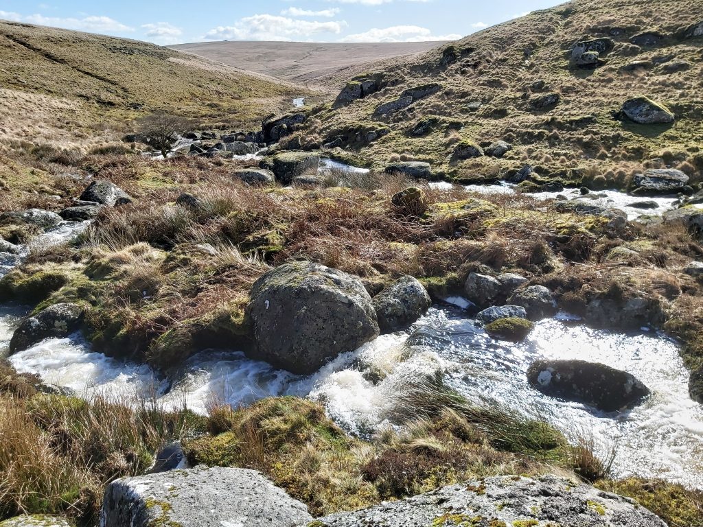
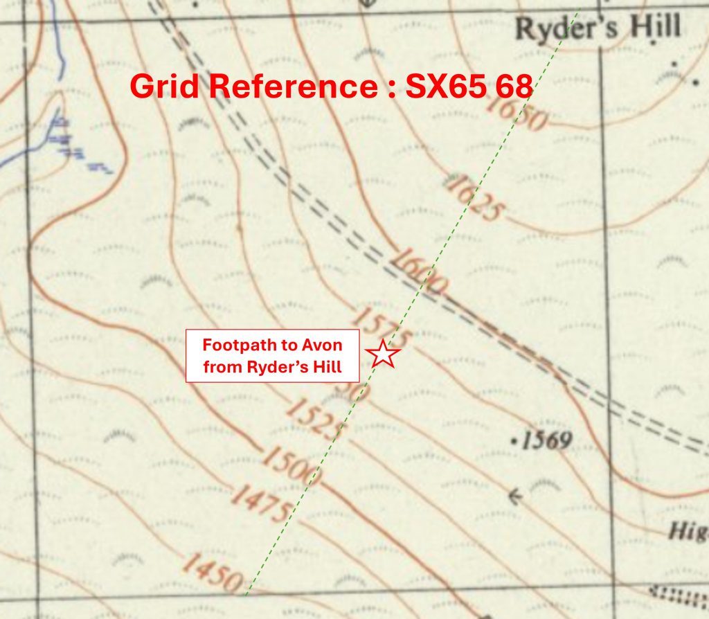
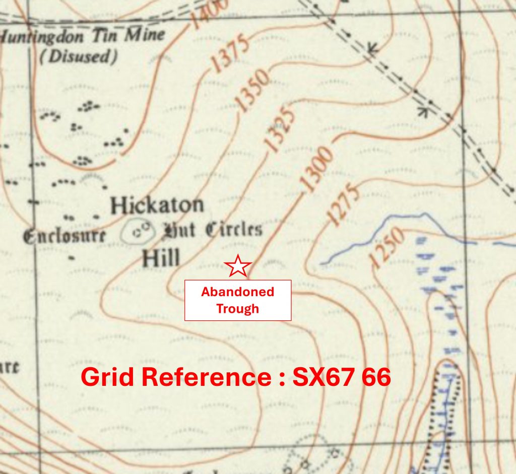
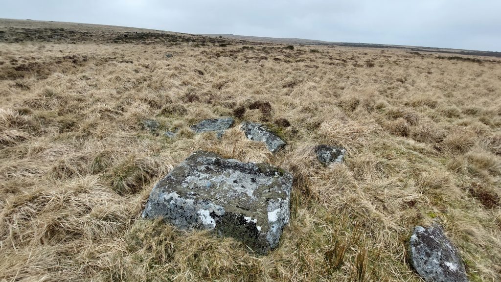
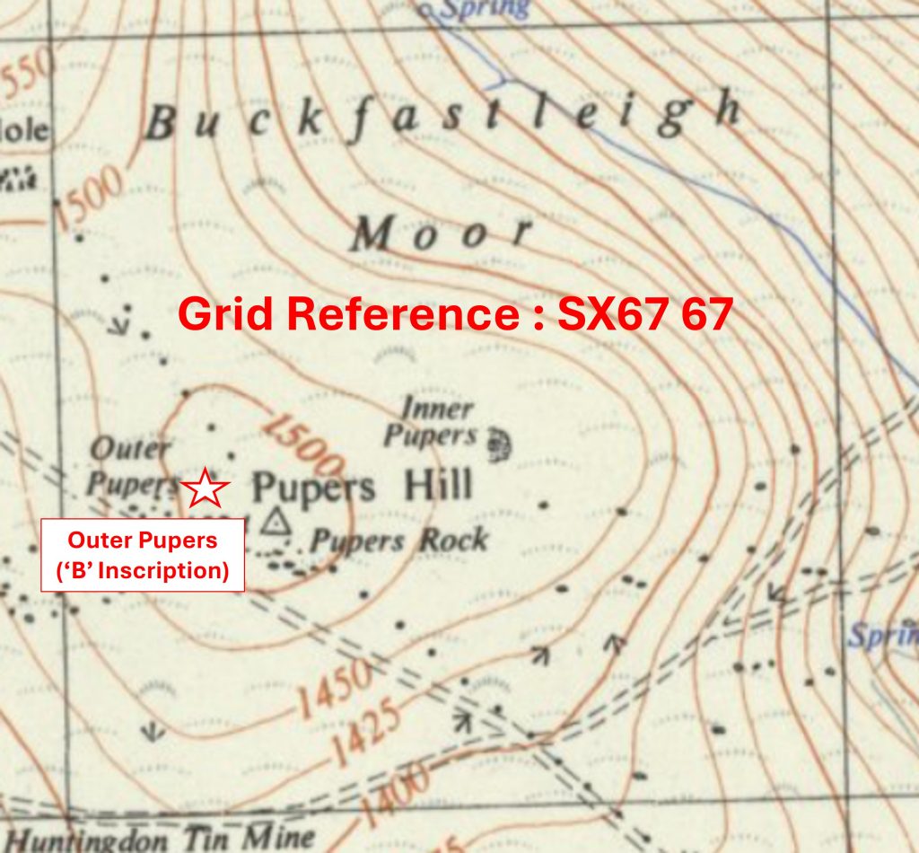
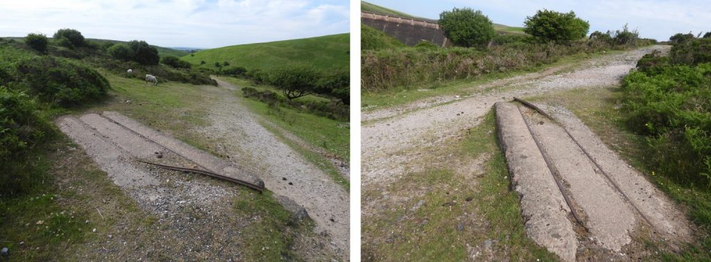
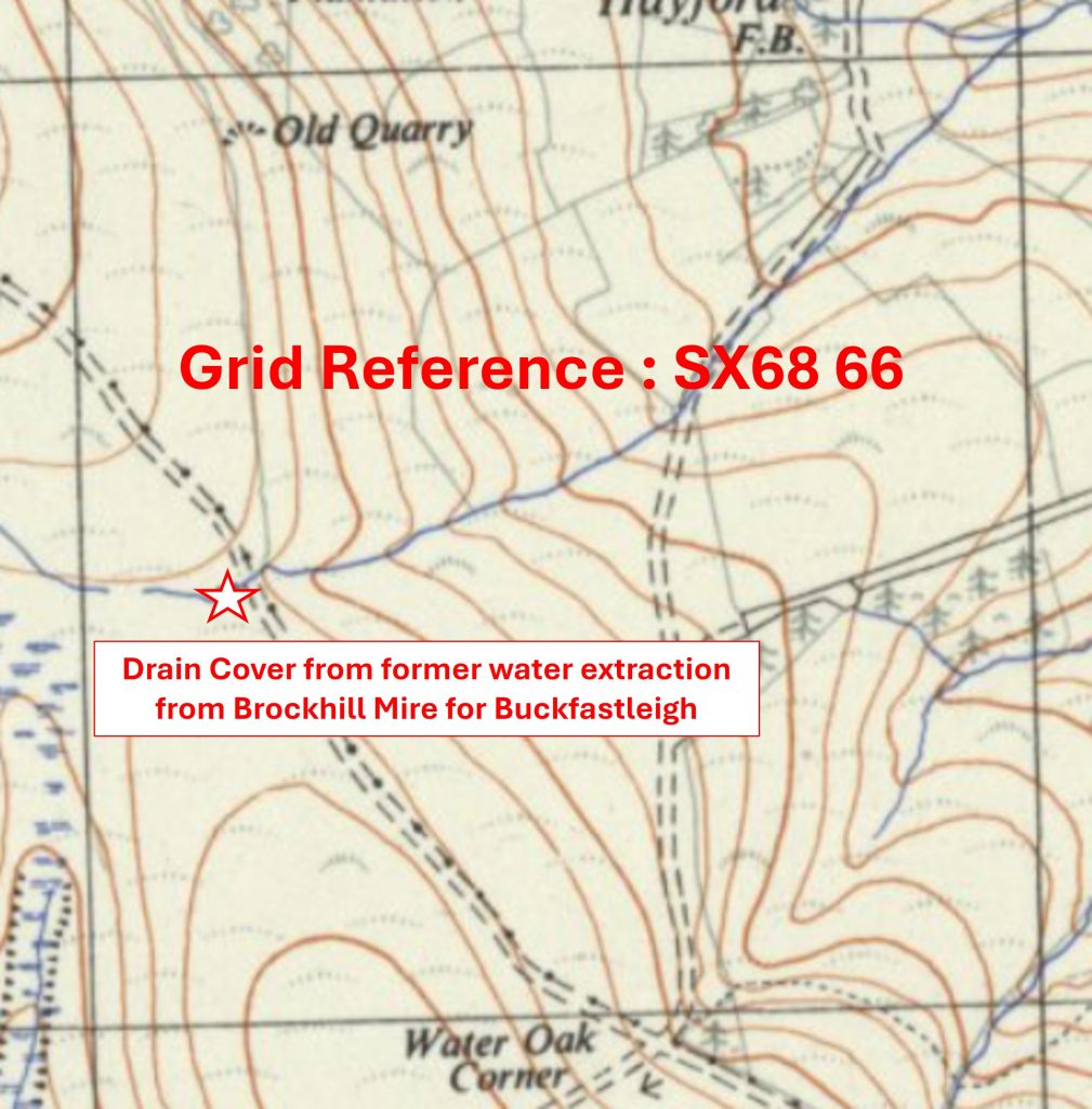
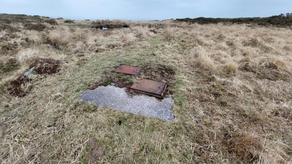
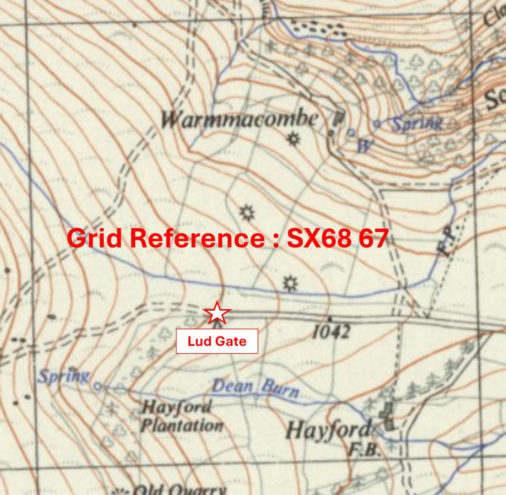
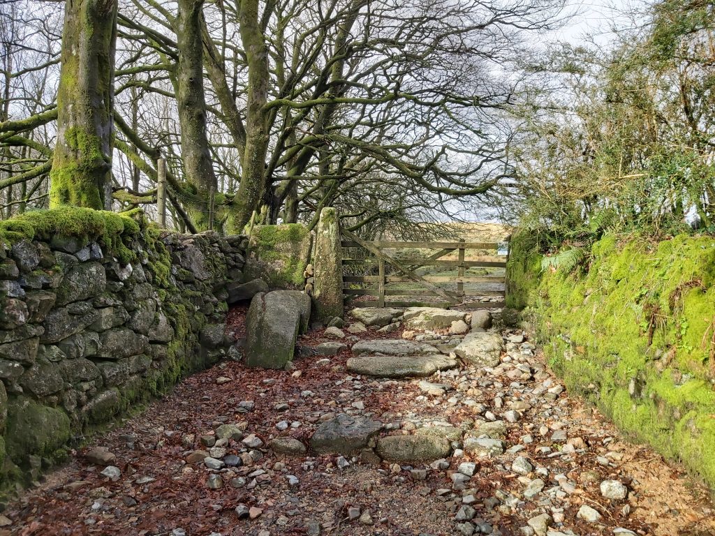
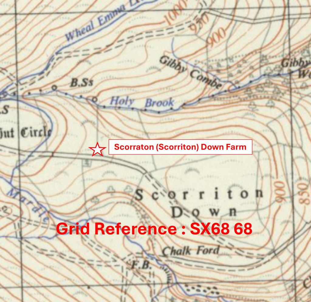
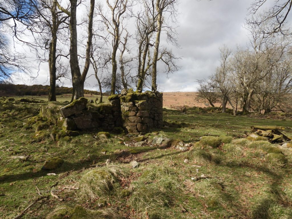
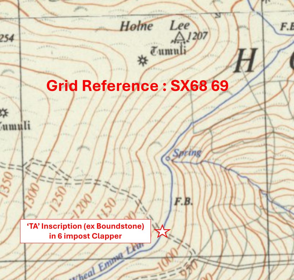
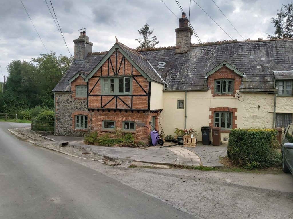
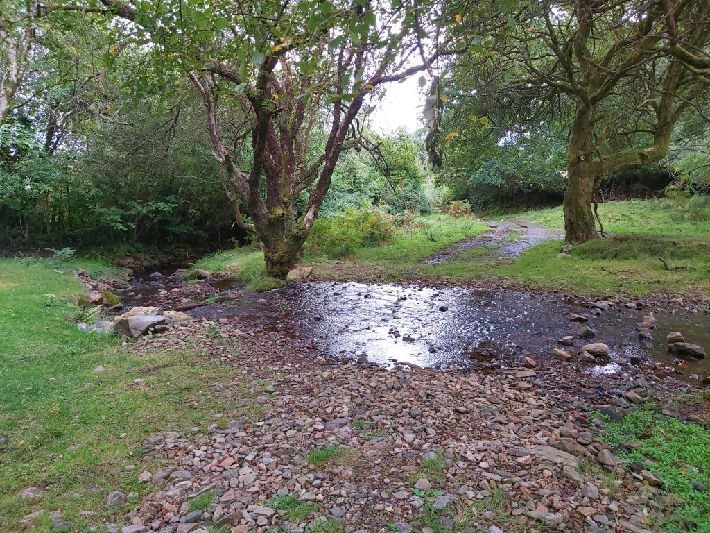
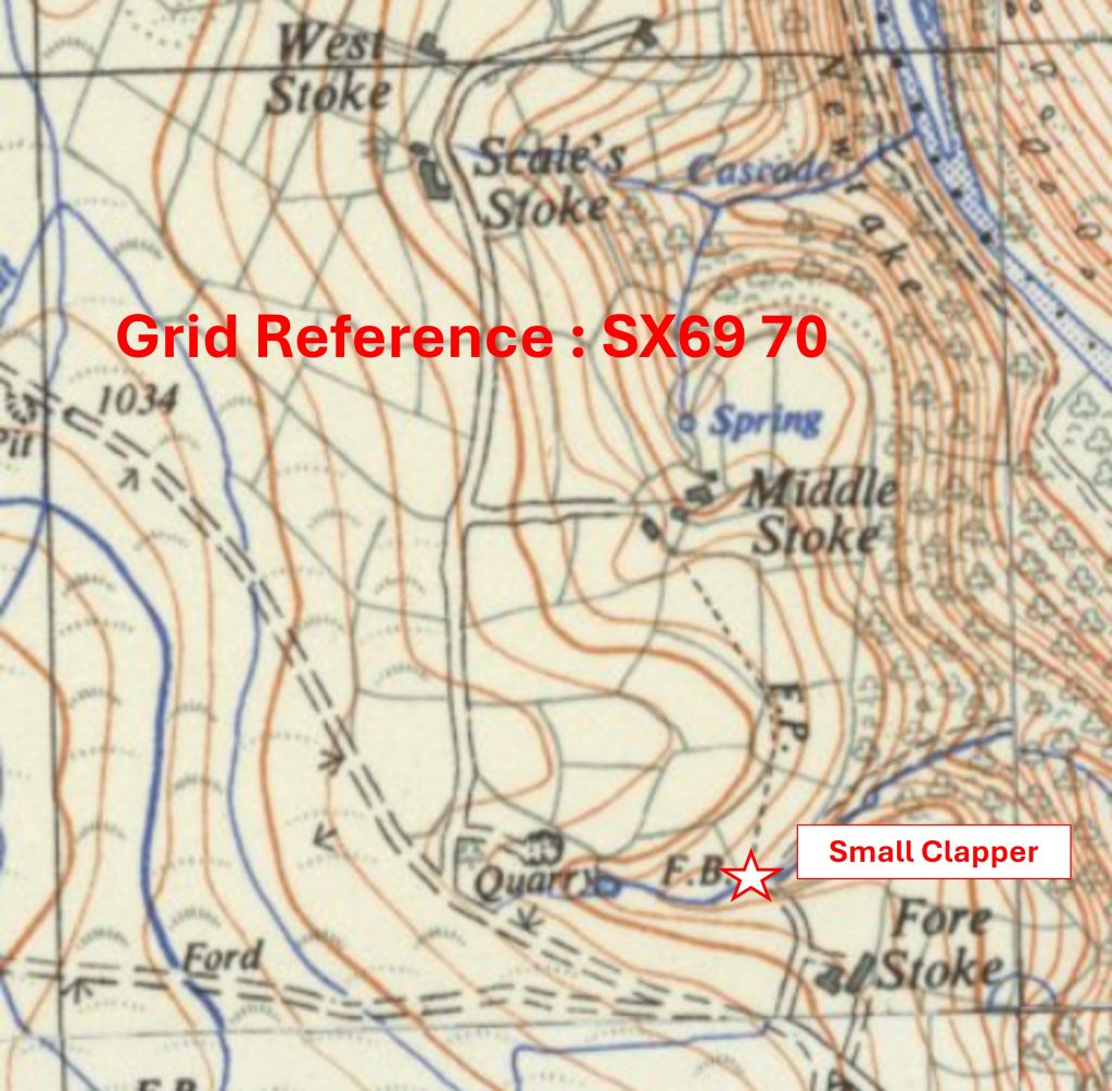
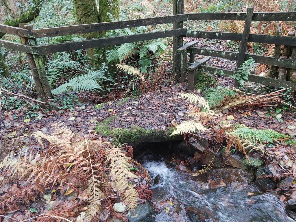
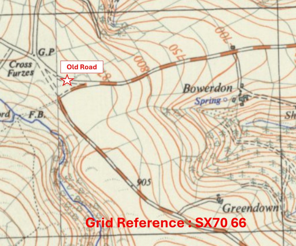
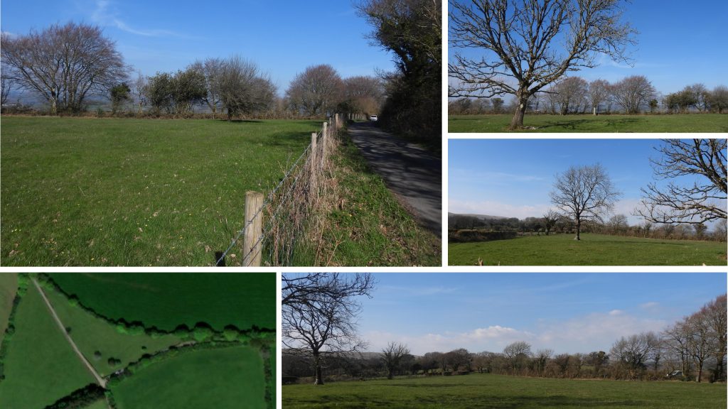
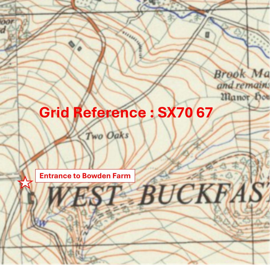
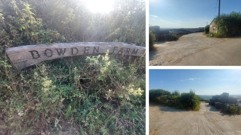
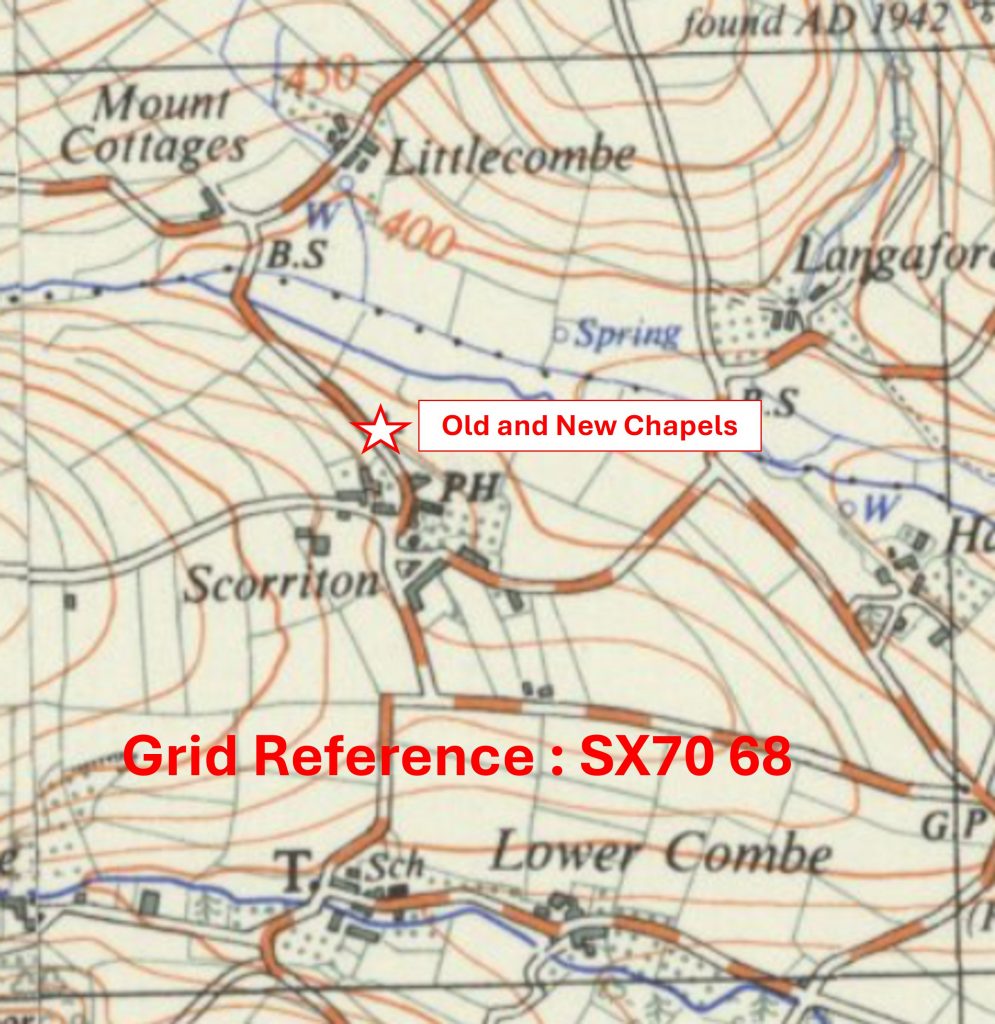
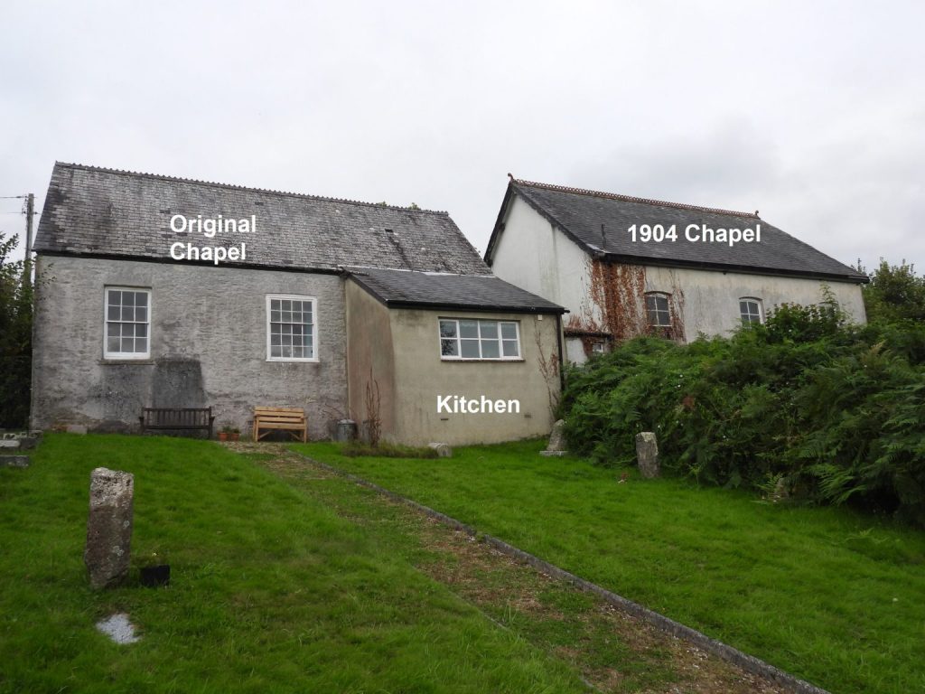
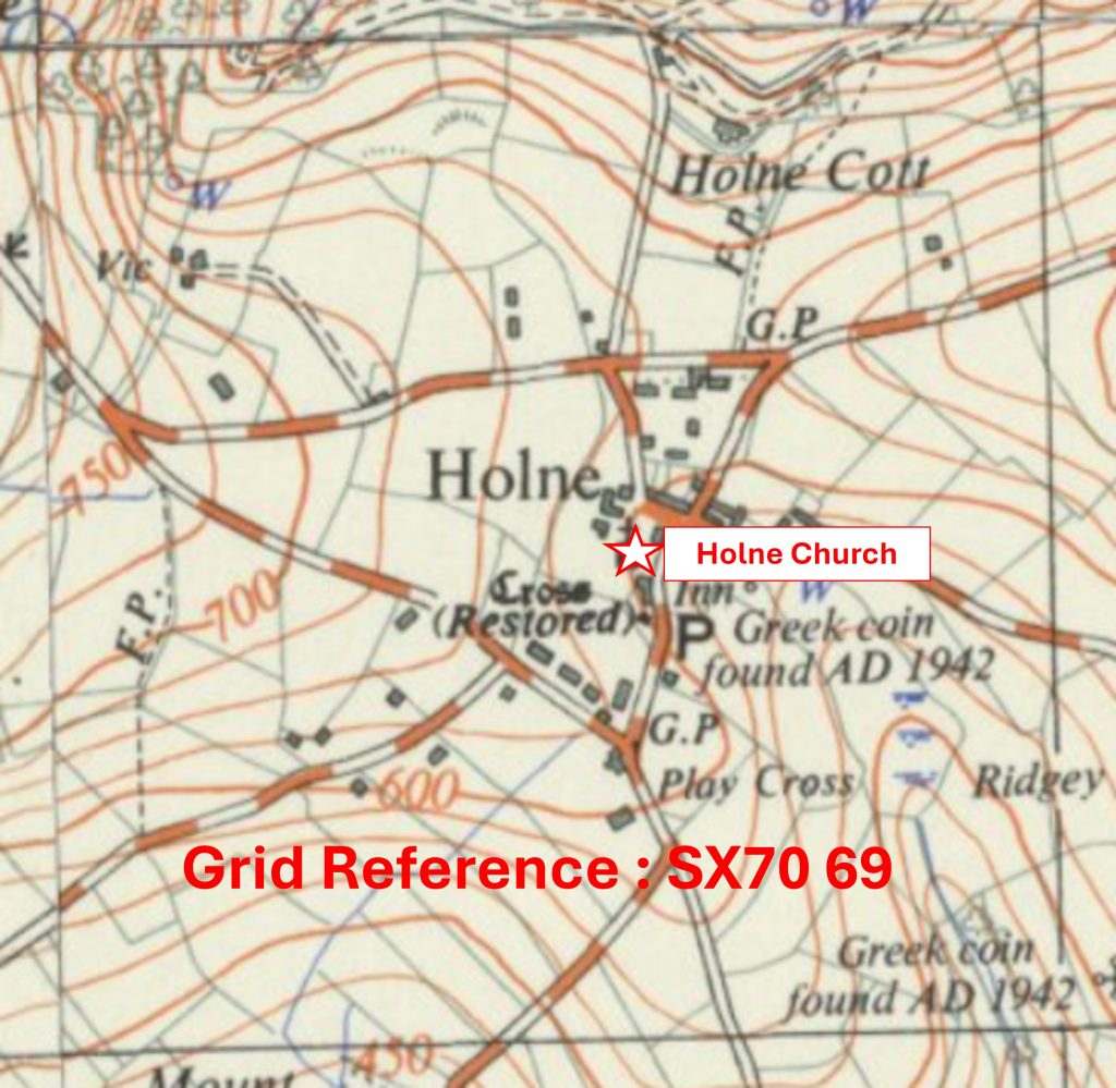
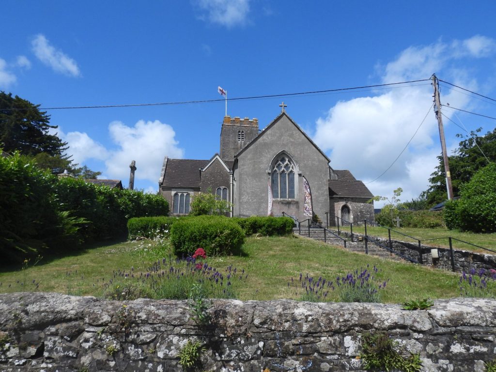
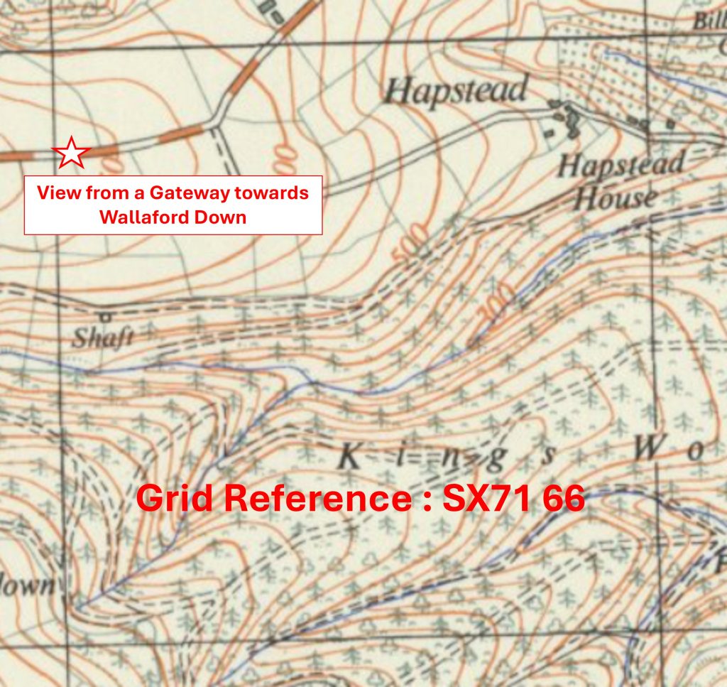
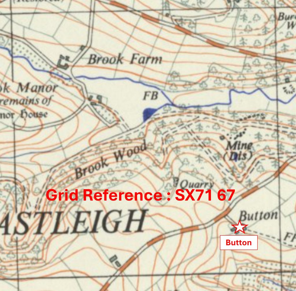
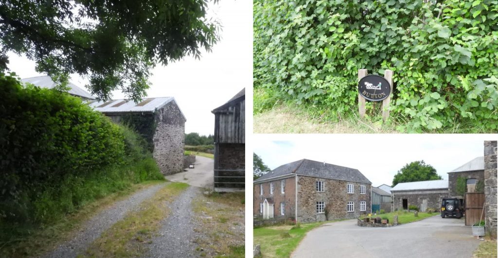
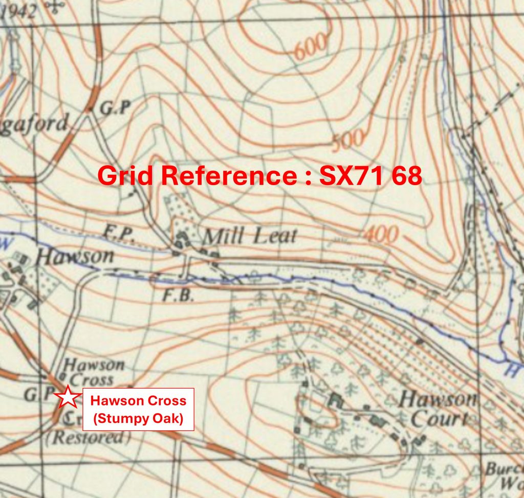
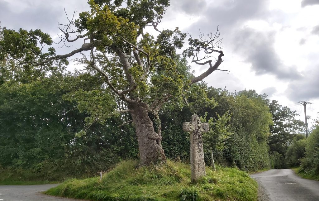
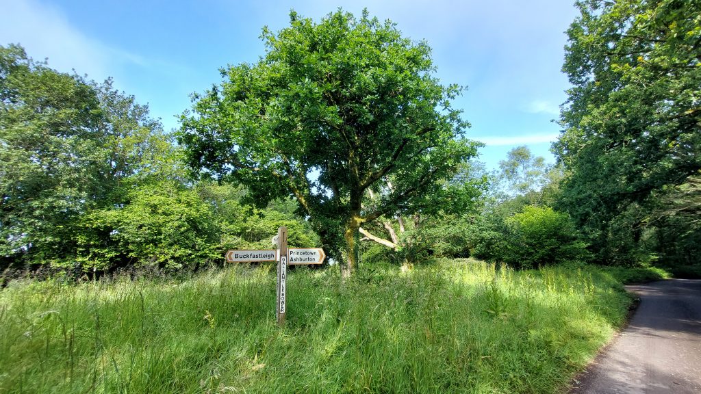
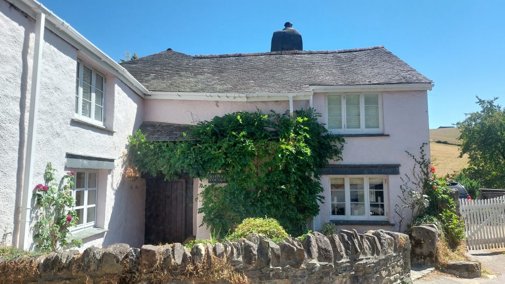
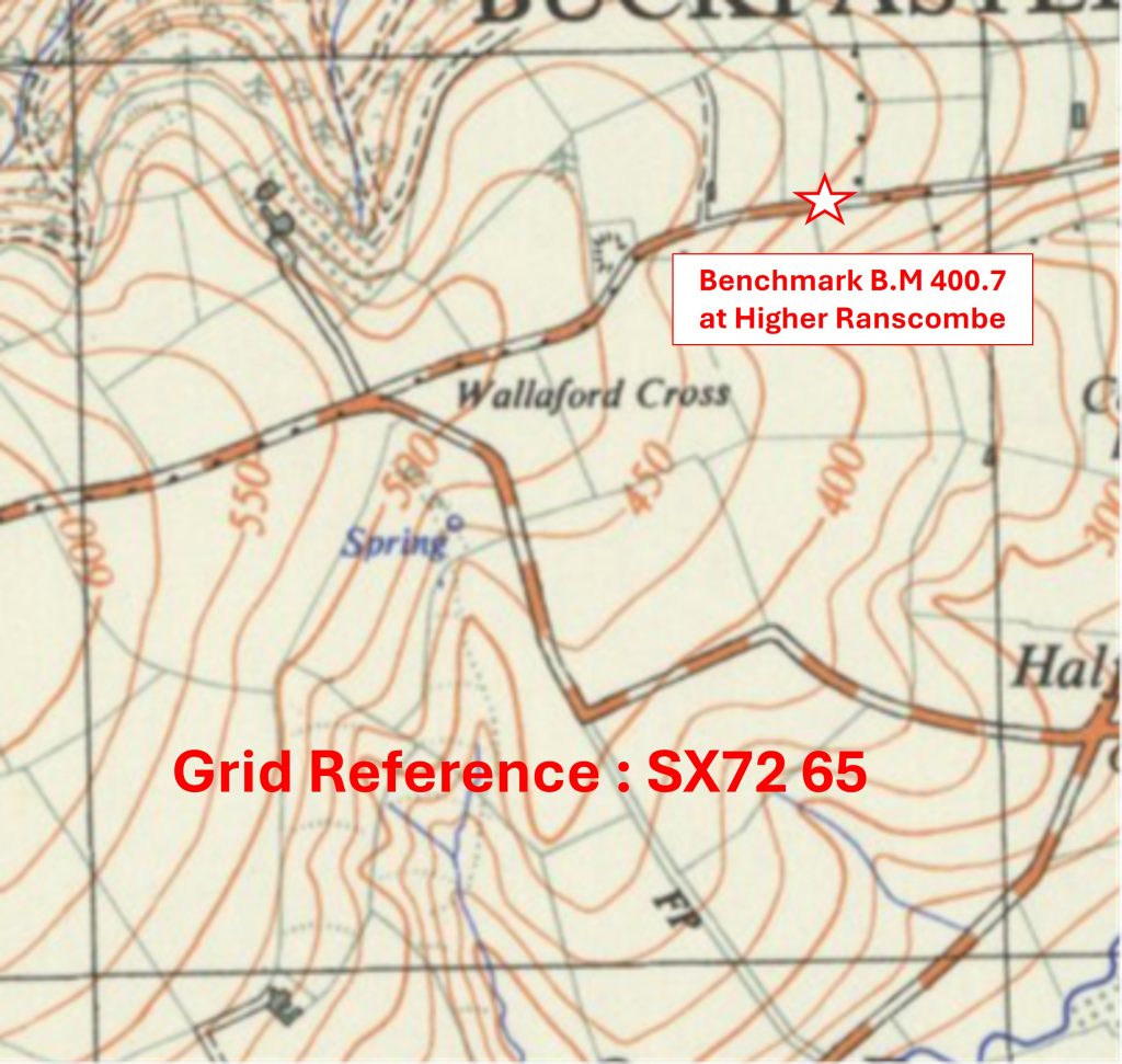
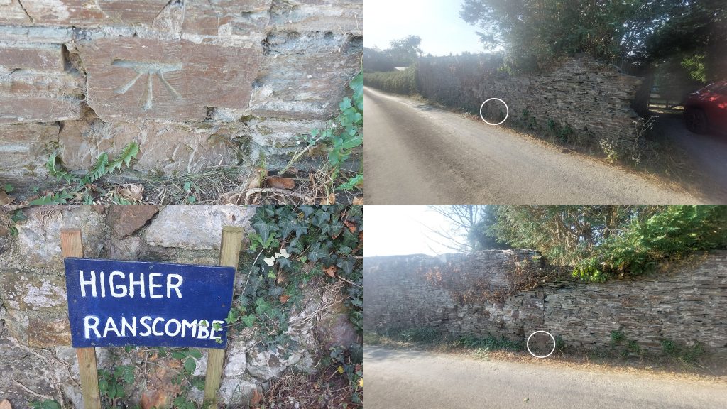
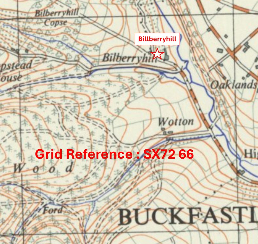
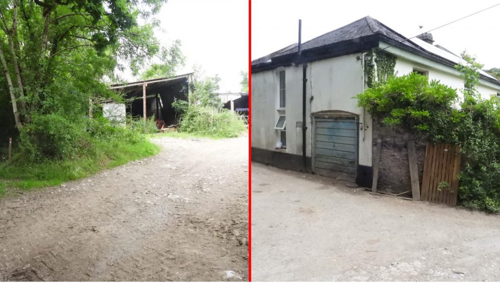
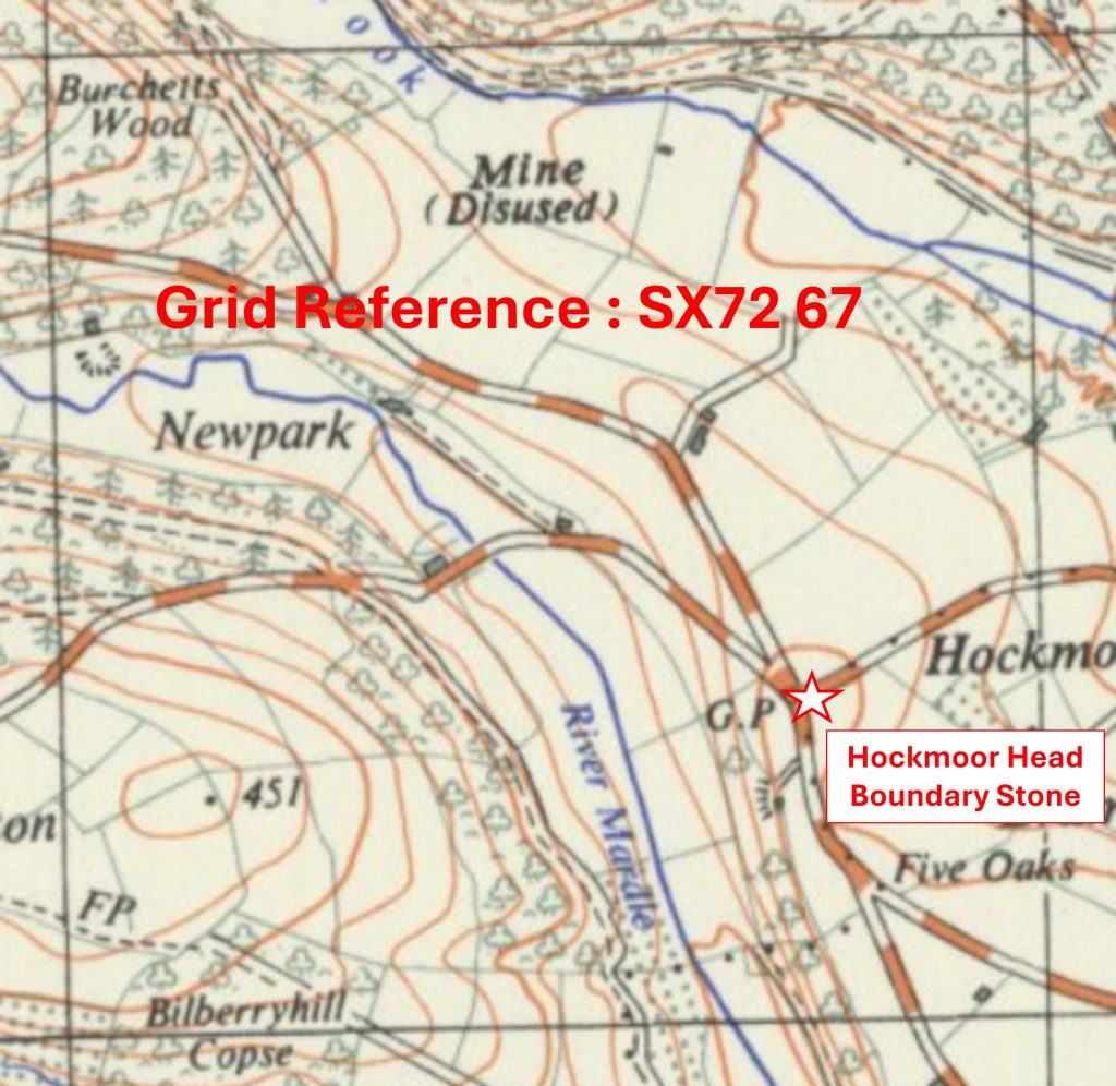
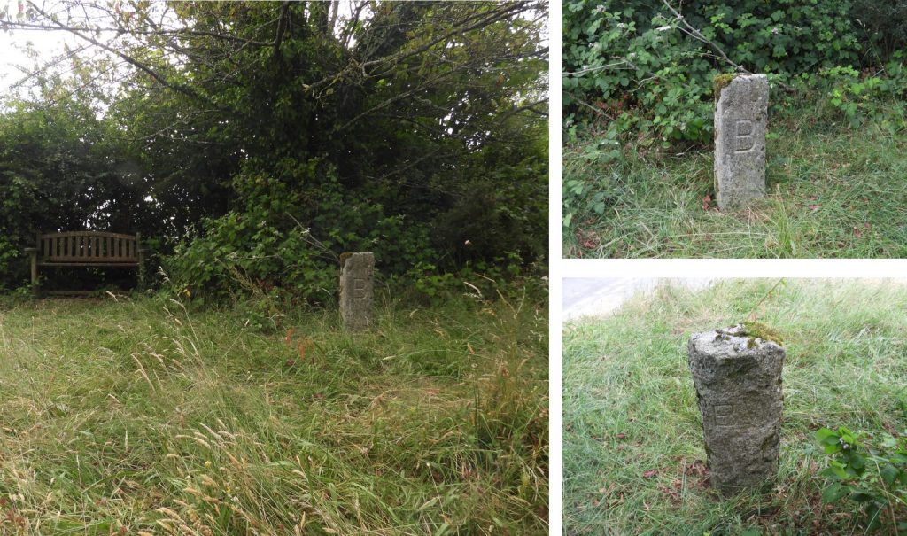
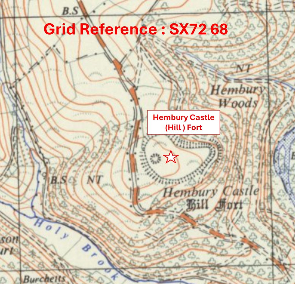
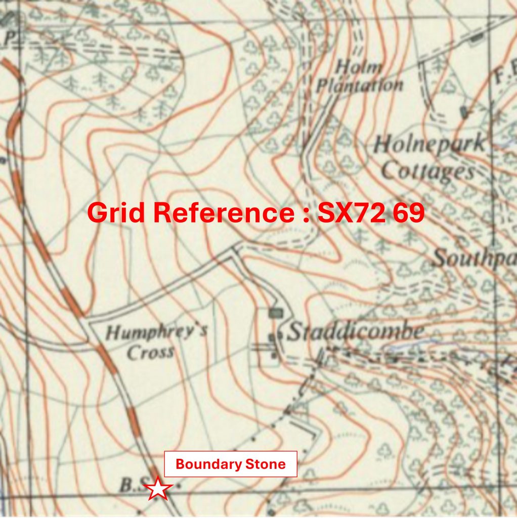
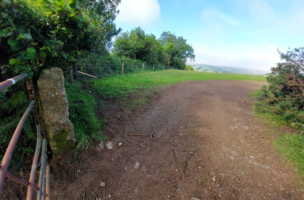
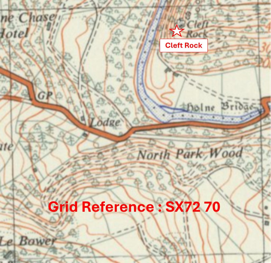
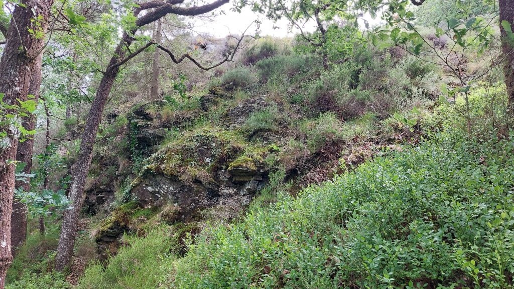
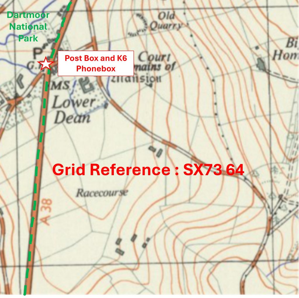
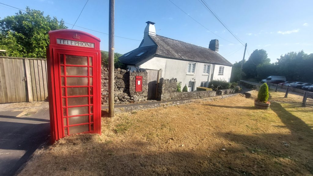
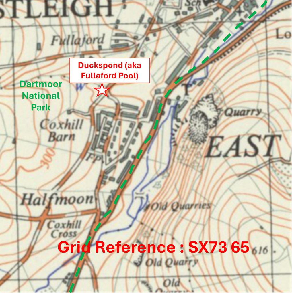
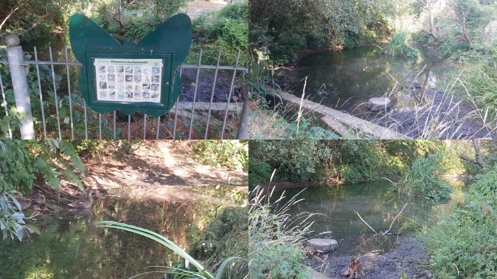
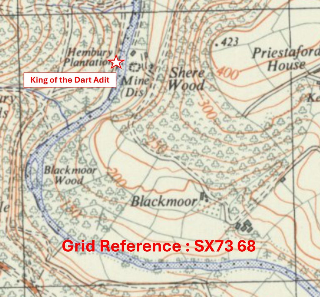
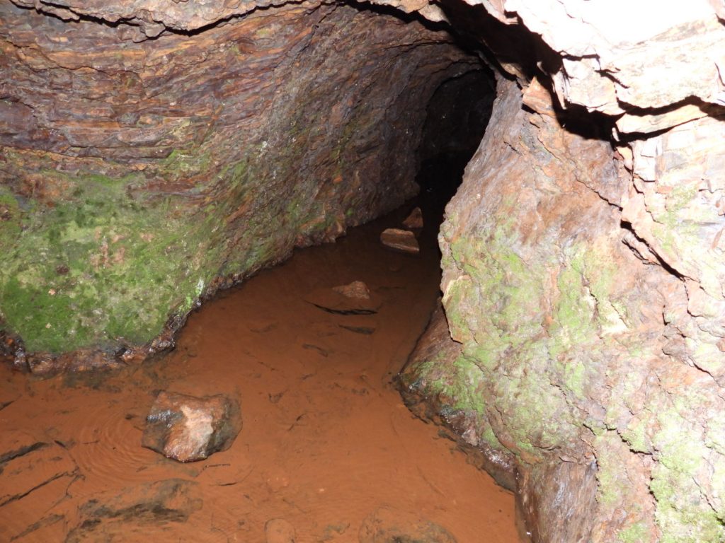
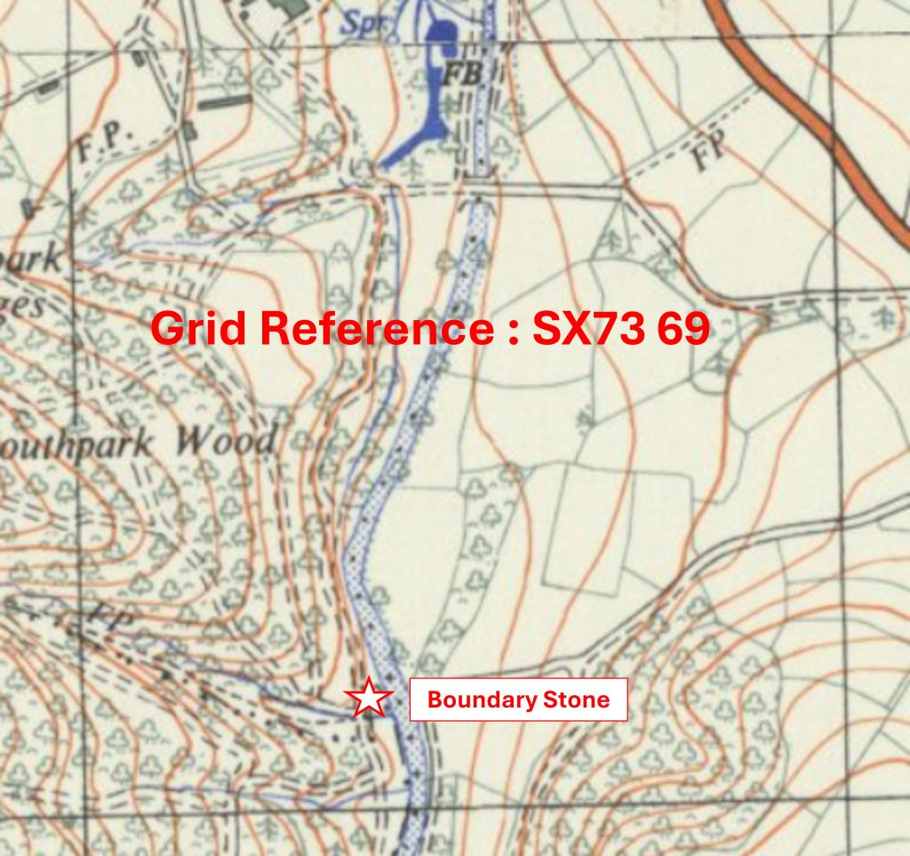
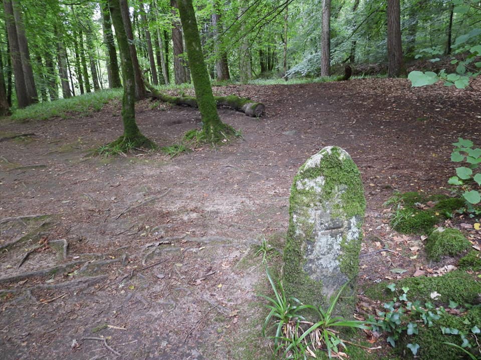
The ‘South East’ area comprises 95 ‘Whole’ and 10 ‘Part’ km squares, which represents 10.02% of the total. The south west corner is SX6263, the north west corner is SX6270, the south east corner is SX7263 and the north east corner is SX7770.Grid Reference SX62 63. The item chosen to represent this square is a cist near a Bronze Age Settlement to the north of Ranny BrookGrid Reference SX62 63. The Ranny Brook cist is located at SX6214 6353Grid Reference SX62 64. The item chosen to represent this square is a Tinners’ HutGrid Reference SX62 64. The Tinners’ Hut is located at SX62707 64937Grid Reference SX62 65. The item chosen to represent this square is a Rain Gauge at the head of HortonsfordGrid Reference SX62 65. The Rain Gauge is located at SX62141 65810Grid Reference SX62 66. The item chosen to represent this square is a Tinners Hut above Erme PitsGrid Reference SX62 66. The Tinners Hut above Erme Pits is located at SX62330 66436Grid Reference SX62 67. The item chosen to represent this square is Ducks Pool MemorialGrid Reference SX62 67. Ducks Pool Memorial is located at SX62574 67905Grid Reference SX62 68. The item chosen to represent this square is Plym HeadGrid Reference SX62 68. Plym Head is located at SX62092 68296Grid Reference SX62 69. The item chosen to represent this square is Fox Tor House, a Tinners’ HutGrid Reference SX62 69. Fox Tor House (Tinners’ Hut) is located at SX62666 69427Grid Reference SX62 70. The item chosen to represent this square is Childe’s TombGrid Reference SX62 70. Childe’s Tomb is located at SX62573 70296Grid Reference SX63 63. The item chosen to represent this square is a Tinners’ MillGrid Reference SX63 63. The Tinners’ Mill is located at SX63983 63364Grid Reference SX63 64. The item chosen to represent this square is a Stone Circle known as ‘The Dancers’ or ‘Kiss in the Ring’Grid Reference SX63 64. The Stone Circle known as ‘The Dancers’ or ‘Kiss in the Ring’ is located at SX6350 6442Grid Reference SX63 65. The item chosen to represent this square is Eric Hemery’s Seat at Erme PoundGrid Reference SX63 65. Eric Hemery’s Seat at Erme Pound is located at SX63787 65596Grid Reference SX63 66. The item chosen to represent this square is Tinners’ HutGrid Reference SX63 66. The Tinners’ Hut is located at SX63516 66248Grid Reference SX63 67. The item chosen to represent this square is Green Hill SummitGrid Reference SX63 67. Green Hill Summit is located at SX636 678Grid Reference SX63 68. The item chosen to represent this square is Black Hut – Peat Cutters’ Hut of Tinners’ LodgeGrid Reference SX63 68. Black Hut – Peat Cutters’ Hut of Tinners’ Lodge is located at SX63715 68119Grid Reference SX63 69. The item chosen to represent this square is Rabbits TorGrid Reference SX63 69. Rabbits Tor is located at SX63307 69809Grid Reference SX63 70. The item chosen to represent this square is Mount Misery CrossGrid Reference SX63 70. Mount Misery Cross is located at SX6363 7058Grid Reference SX64 63. The item chosen to represent this square is Left Lake BridgeGrid Reference SX64 63. Left Lake Bridge is located at SX64668 63455Grid Reference SX64 64. The item chosen to represent this square is Harford / Ugborough Parish Boundary Marker (No 68)Grid Reference SX64 64. Harford / Ugborough Parish Boundary Marker (No 68) is located at SX64461 64617Grid Reference SX64 65. The item chosen to represent this square is Harford / Ugborough Parish Boundary Marker (No 76)Grid Reference SX64 65. Harford / Ugborough Parish Boundary Marker (No 76) is located at SX64376 65616Grid Reference SX64 66. The item chosen to represent this square is Winding Engine Foundations at Redlake ClayworksGrid Reference SX64 66. The Winding Engine Foundations at Redlake Clayworks are located at SX64594 66838Grid Reference SX64 67. The item chosen to represent this square is Tanners PathGrid Reference SX64 67. Tanners Path is located at SX645 676Grid Reference SX64 68. The item chosen to represent this square is a Tinners’ HutGrid Reference SX64 68. The Tinners’ Hut is located at SX64610 68082Grid Reference SX64 69. The item chosen to represent this square is the Luckcombe StoneGrid Reference SX64 69. The Luckcombe Stone is located at SX64756 69600Grid Reference SX64 70. The item chosen to represent this square is Ter Hill Cross (West)Grid Reference SX64 70. Ter Hill Cross (West) is located at SX64036 70623 Grid Reference SX65 63. The item chosen to represent this square is Uncle Ab’s House
Grid Reference SX65 63. Uncle Ab’s House is located at SX65641 63946
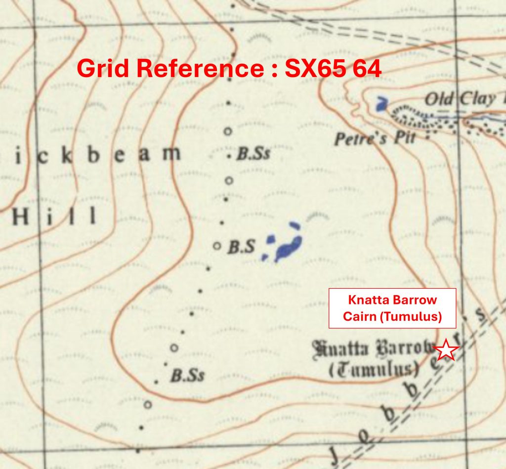
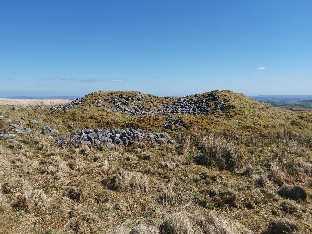
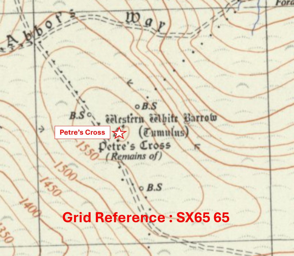
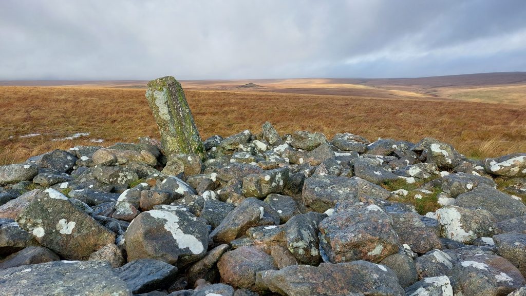
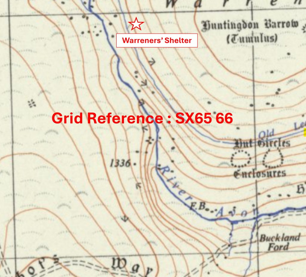
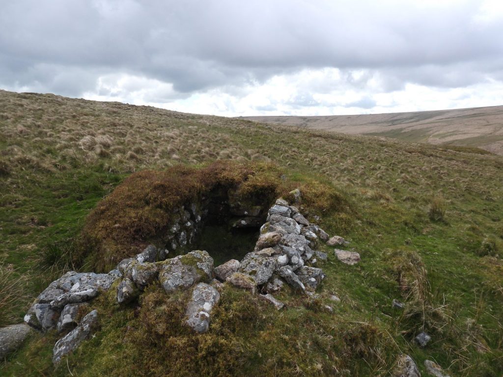
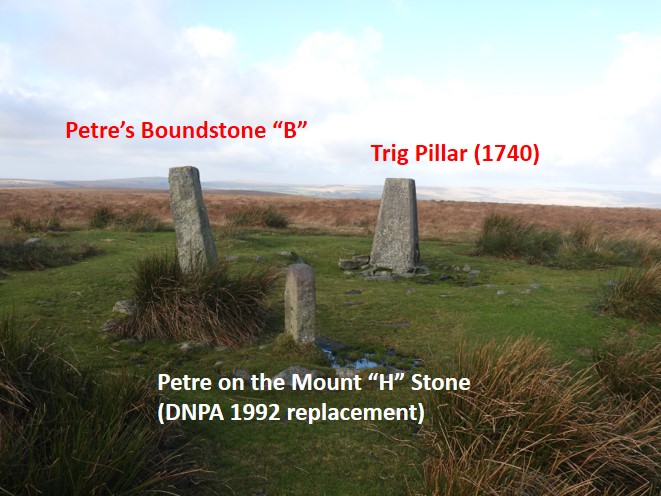
Grid Reference SX65 64. The item chosen to represent this square is Knatta Barrow Cairn (Tumulus)Grid Reference SX65 64. Knatta Barrow Cairn (Tumulus) is located at SX65970 64212Grid Reference SX65 65. The item chosen to represent this square is Petre’s CrossGrid Reference SX65 65. Petre’s Cross is located at SX65361 65493 Grid Reference SX65 66. The item chosen to represent this square is a Warreners’ ShelterGrid Reference SX65 66. The Warreners’ Shelter is located at SX65521 66952Grid Reference SX65 67. The item chosen to represent this square is Broad FallsGrid Reference SX65 67. Broad Falls are located at SX65311 67025Grid Reference SX65 68. The item chosen to represent this square is a Footpath to Avon from Ryder’s HillGrid Reference SX65 68. The Footpath to Avon from Ryder’s Hill. Photograph taken at SX65583 68409Grid Reference SX65 69. The item chosen to represent this square is Ryder’s Hill Boundstones and Trig Pillar
Grid Reference SX65 69. Ryder’s Hill Boundstones and Trig Pillar are located at SX6597 6904
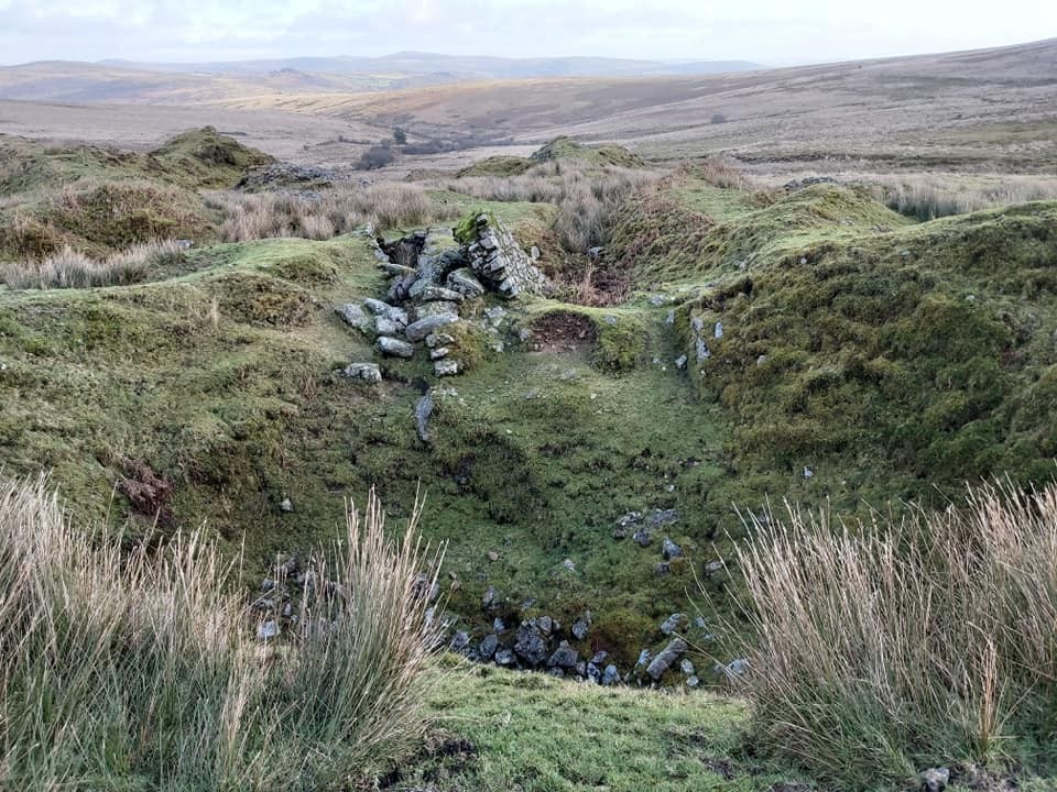
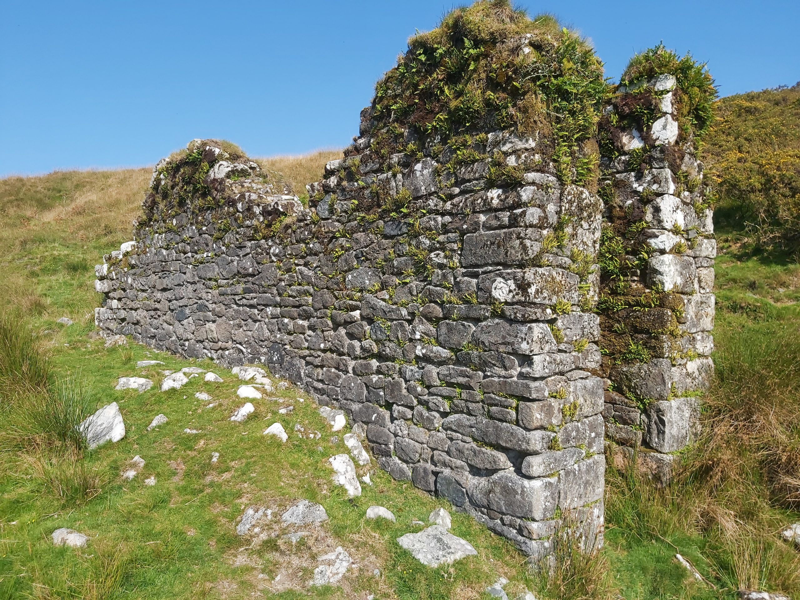
Grid Reference SX65 70. The item chosen to represent this square is Low’s Shaft, Hexworthy MineGrid Reference SX65 70. Low’s Shaft, Hexworthy Mine is located at SX65558 70792Grid Reference SX66 63. The item chosen to represent this square is a Wheel House
Grid Reference SX66 63. The Wheel House is located at SX66219 63501
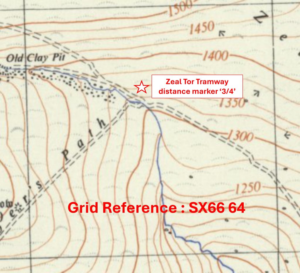
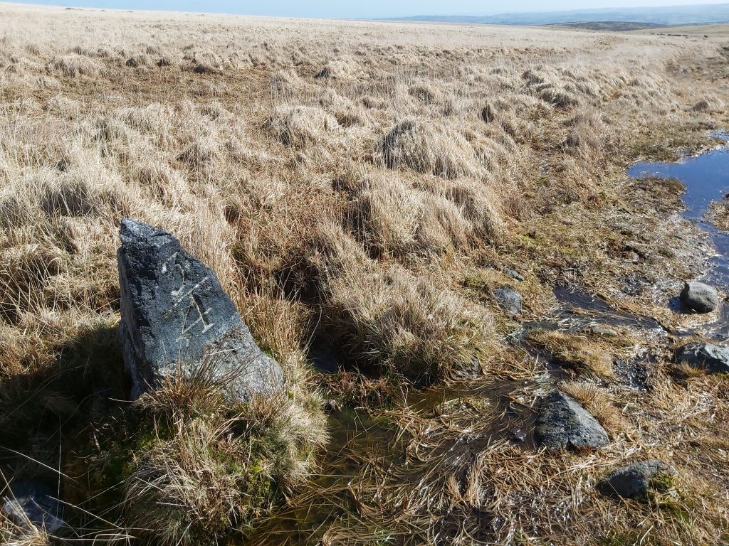
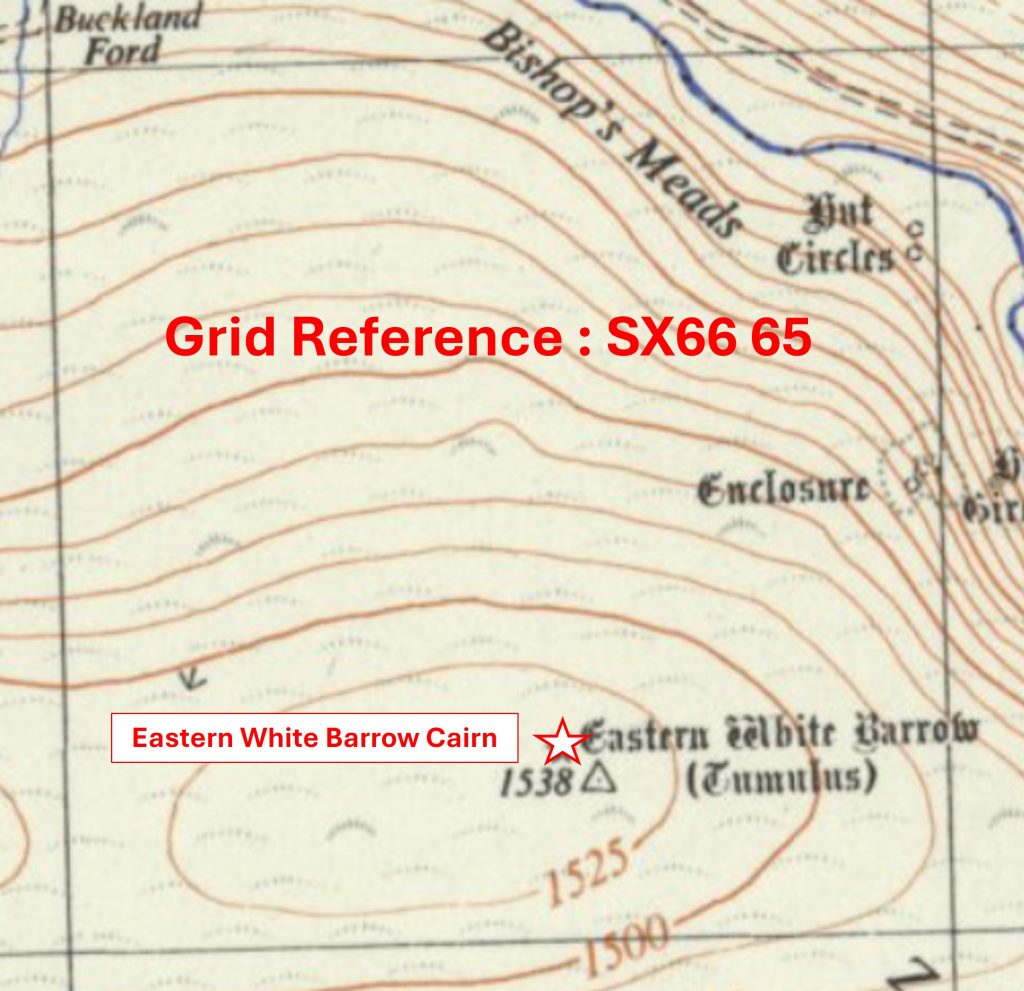
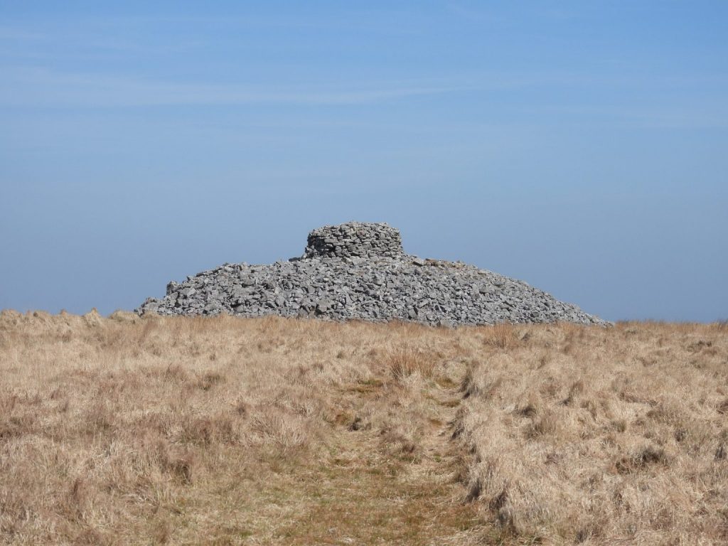
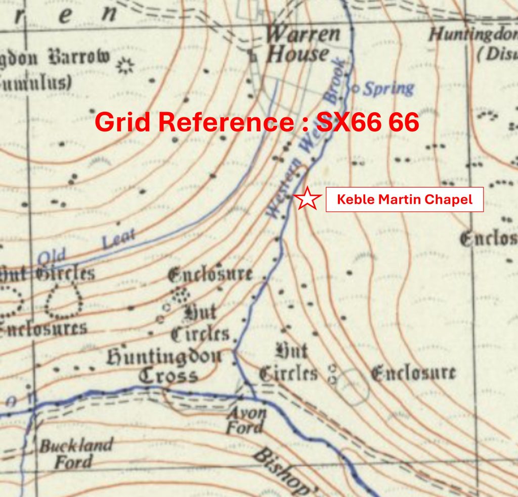
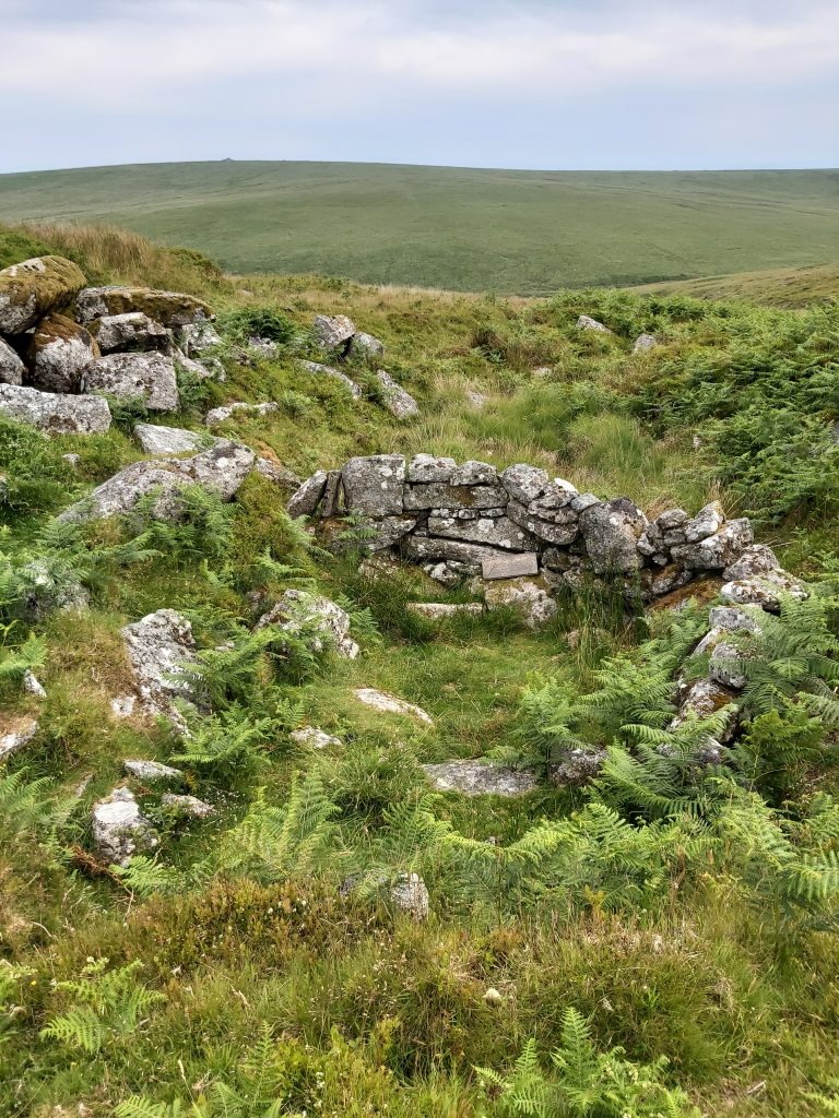
Grid Reference SX66 64. The item chosen to represent this square is Zeal Tor Tramway distance marker ‘3/4’Grid Reference SX66 64. Zeal Tor Tramway distance marker ‘3/4’ is located at SX66451 64682Grid Reference SX66 65. The item chosen to represent this square is Eastern White Barrow CairnGrid Reference SX66 65. Eastern White Barrow Cairn is located at SX6653 6517Grid Reference SX66 66. The item chosen to represent this square is Keble Martin Chapel
Grid Reference SX66 66. Keble Martin Chapel is located at SX666 666
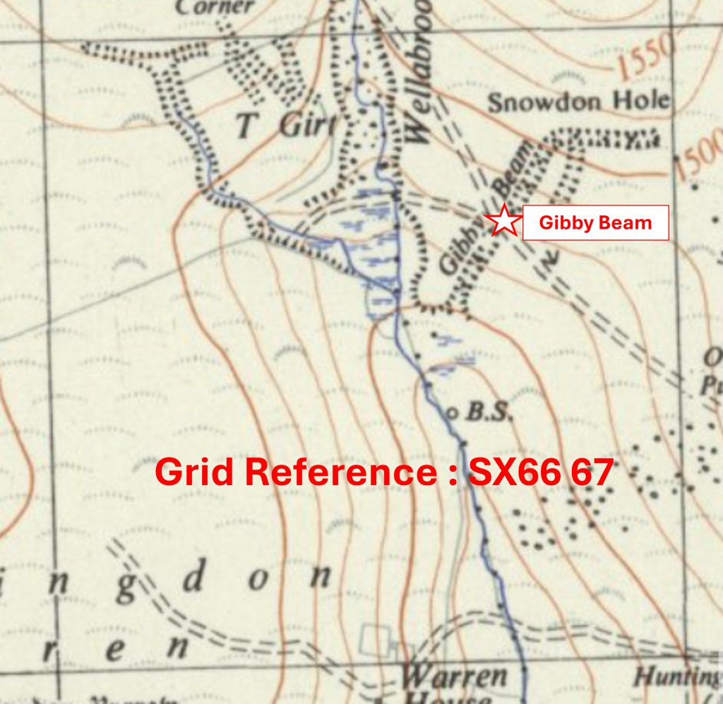
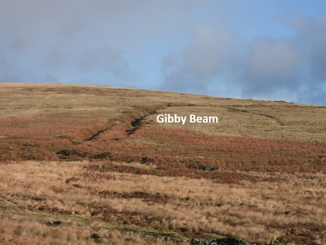
Grid Reference SX66 67. The item chosen to represent this square is Gibby Beam
Grid Reference SX66 67. Gibby Beam is centred at SX667 677
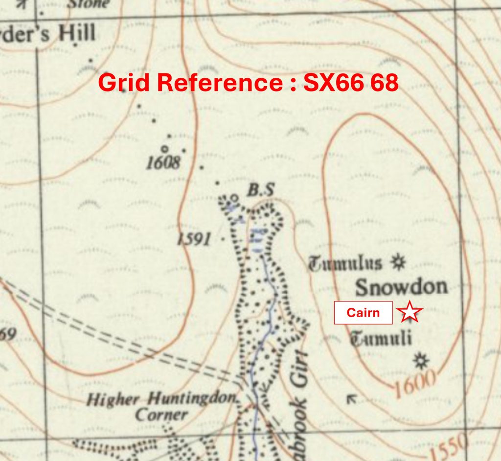
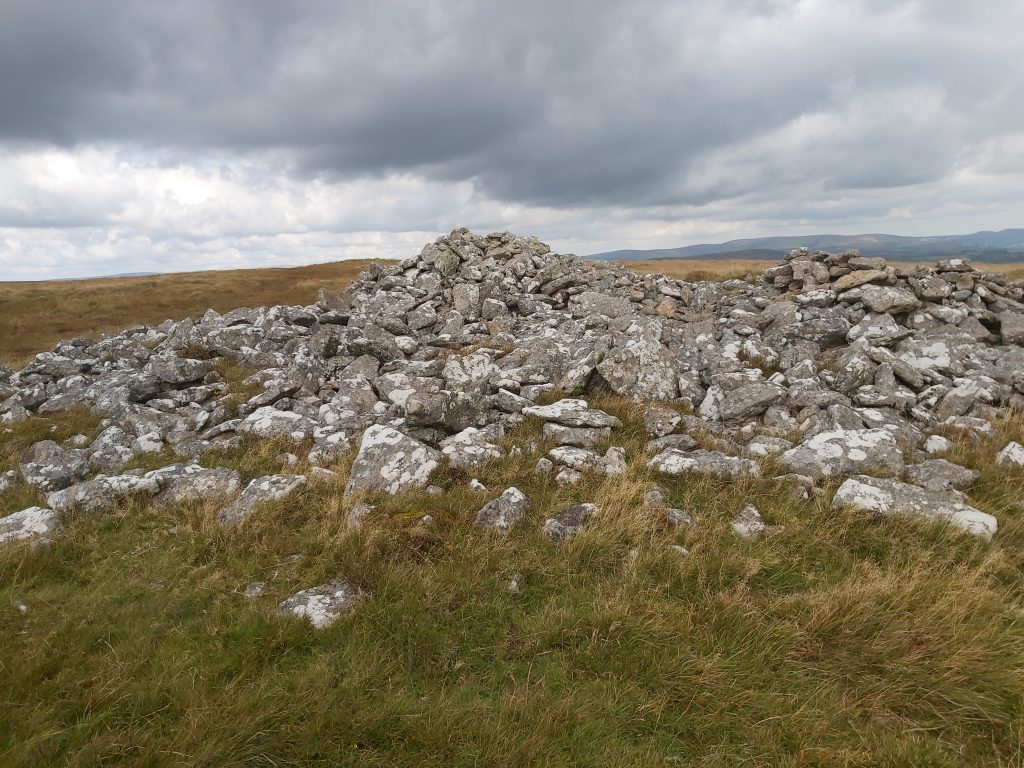
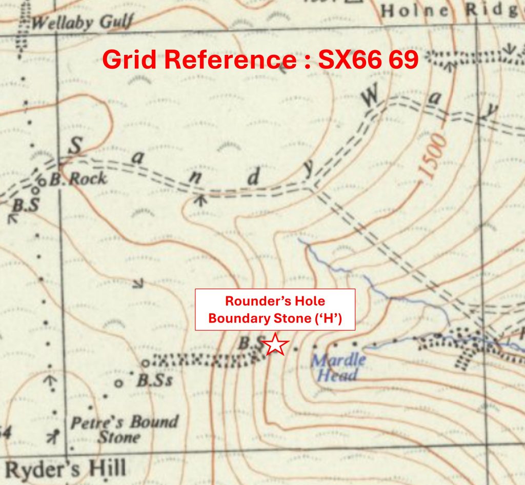
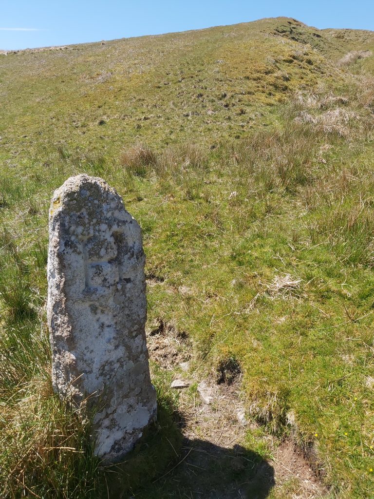
Grid Reference SX66 68. The item chosen to represent this square is a Cairn on SnowdonGrid Reference SX66 68. The Cairn on Snowdon is located at SX66871 68281Grid Reference SX66 69. The item chosen to represent this square is Rounder’s Hole Boundary Stone (‘H’)
Grid Reference SX66 69. The Rounder’s Hole Boundary Stone (‘H’) is located at SX66496 69247
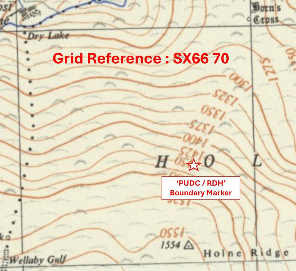
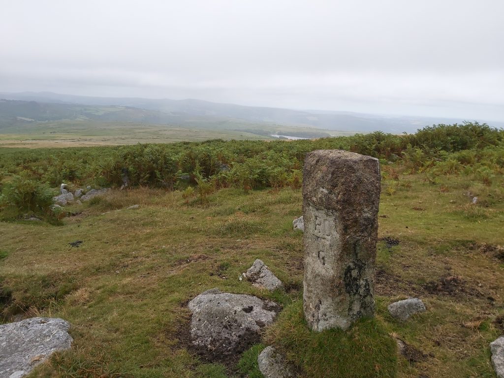
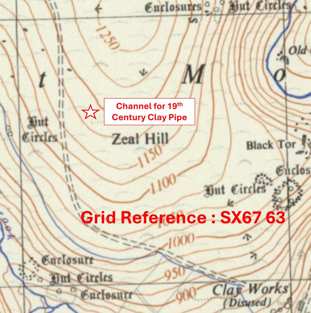
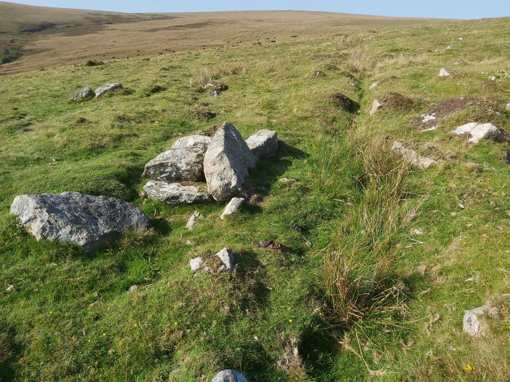
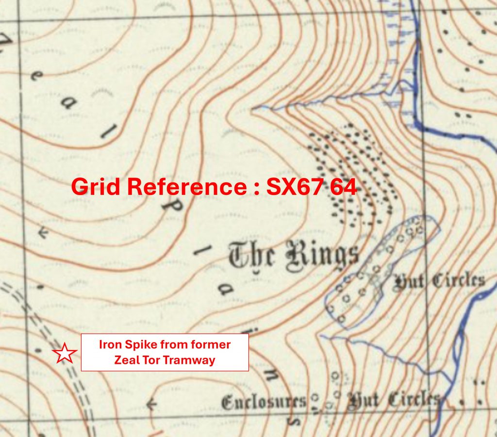
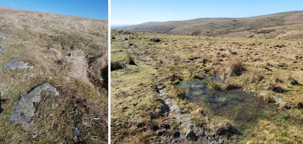
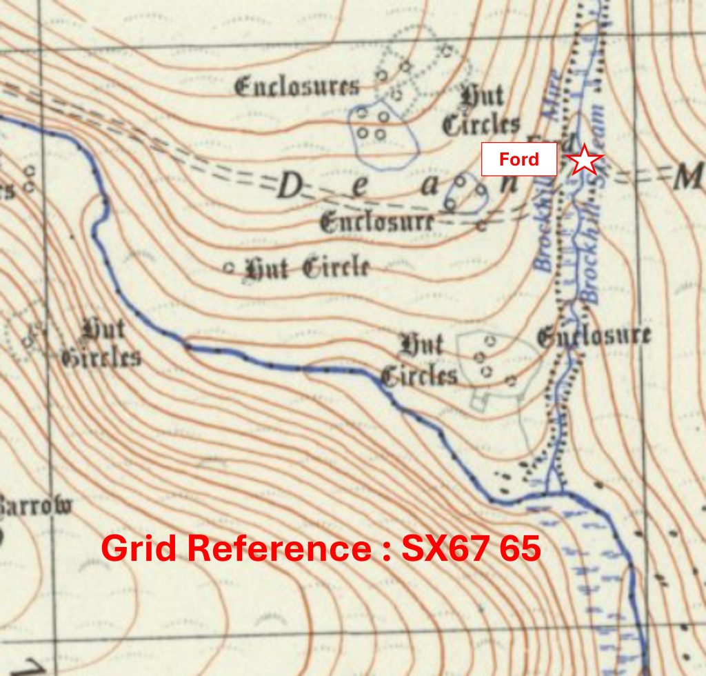
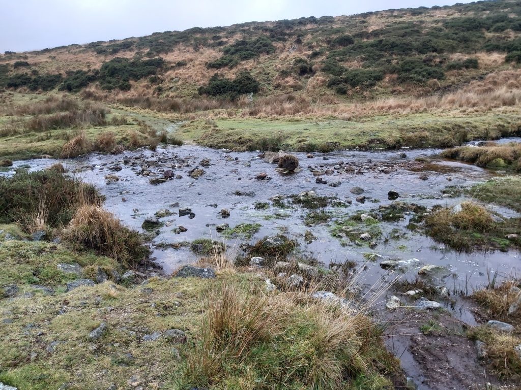
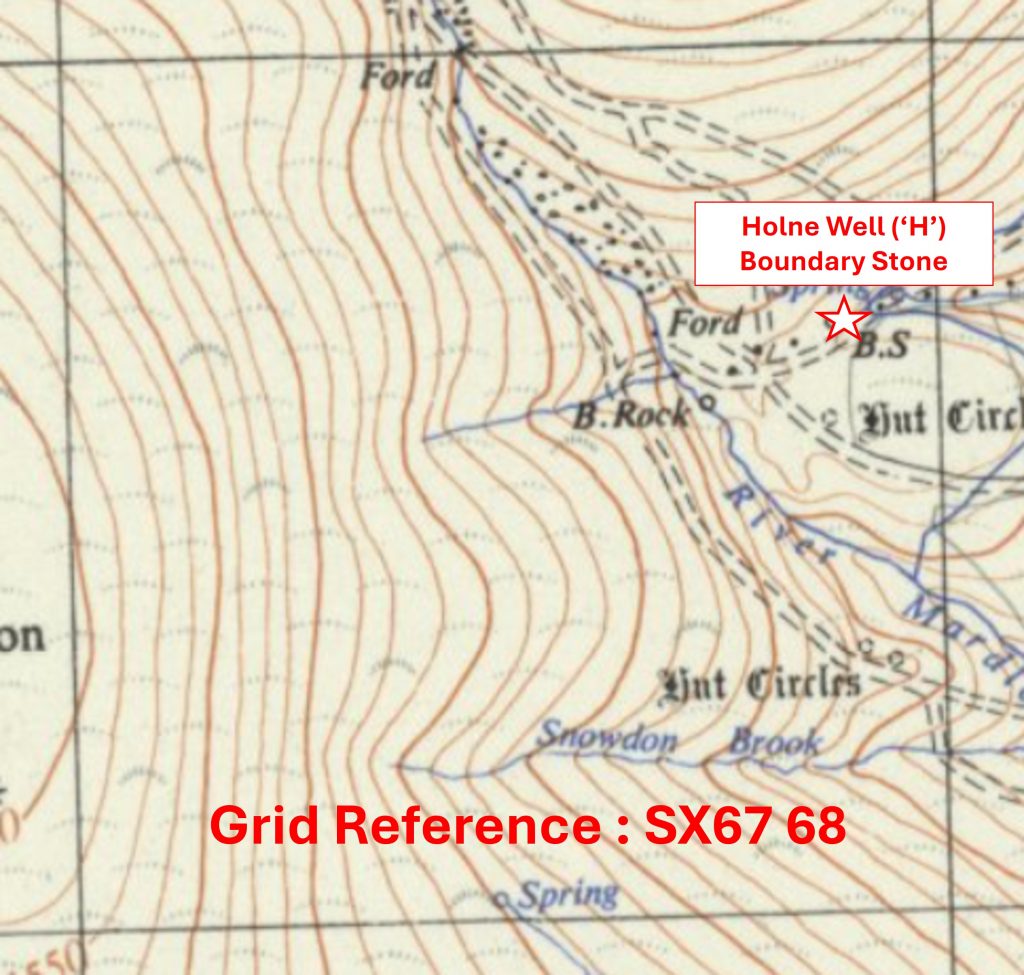
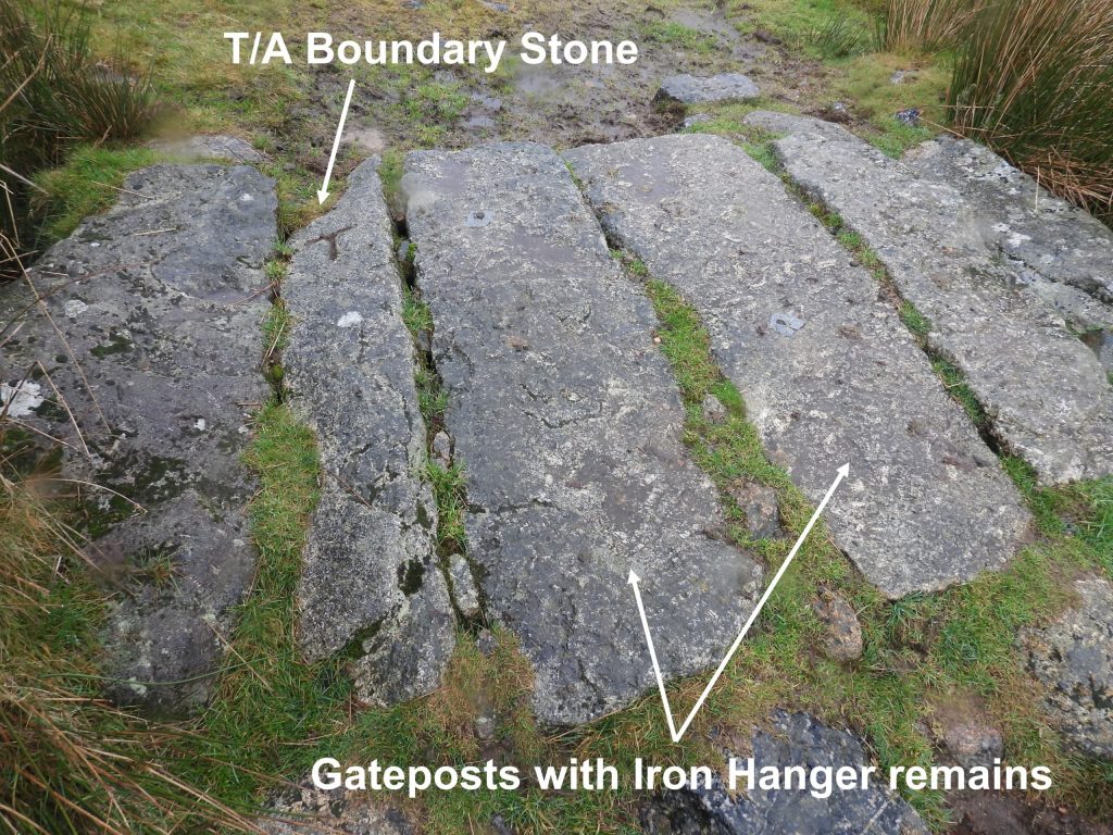
Grid Reference SX66 70. The item chosen to represent this square is a ‘PUDC / RDH’ Boundary MarkerGrid Reference SX66 70. The ‘PUDC / RDH’ Boundary Marker is located at SX66730 70398Grid Reference SX67 63. The item chosen to represent this square is a Channel for a 19th Century Clay PipeGrid Reference SX67 63. The Channel for a 19th Century Clay Pipe is located at SX67219 63692Grid Reference SX67 64. The item chosen to represent this square is an Iron Spike from former Zeal Tor TramwayGrid Reference SX67 64. The Iron Spike from former Zeal Tor Tramway is located at SX67088 64161Grid Reference SX67 65. The item chosen to represent this square is a Ford on Brockhill StreamGrid Reference SX67 65. The Ford on Brockhill Stream is located at SX67905 65786Grid Reference SX67 66. The item chosen to represent this square is an Abandoned TroughGrid Reference SX67 66. The Abandoned Trough is located at SX67451 66423Grid Reference SX67 67. The item chosen to represent this square is Outer Pupers (‘B’ Inscription)Grid Reference SX67 67. Outer Pupers (‘B’ Inscription) is located at SX6717 6741Grid Reference SX67 68. The item chosen to represent this square is Holne Well (‘H’) Boundary Stone
Grid Reference SX67 68. The Holne Well (‘H’) Boundary Stone is located at SX67880 68682
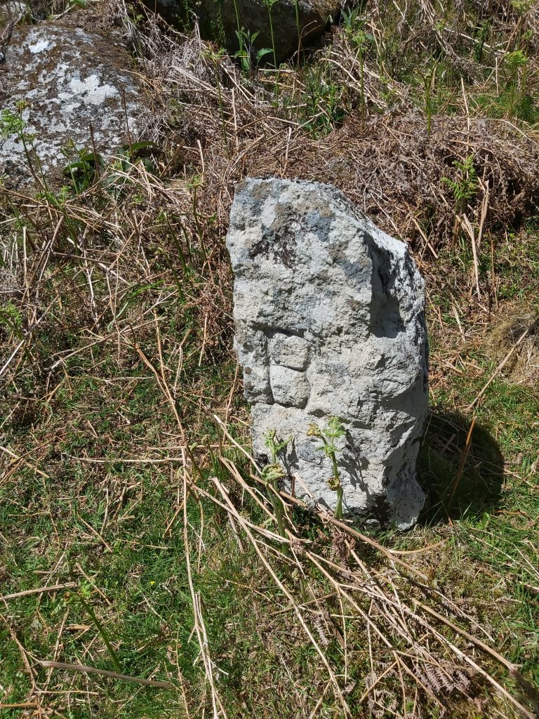
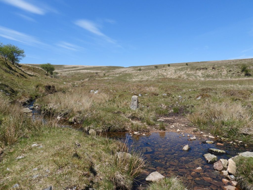
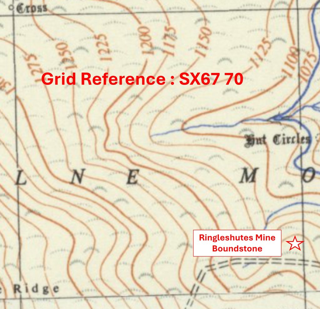
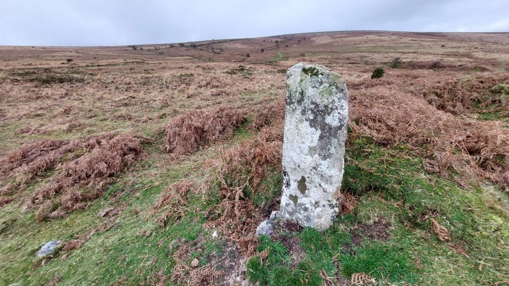
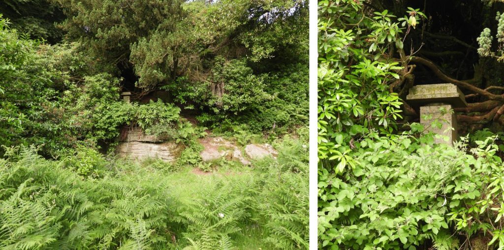
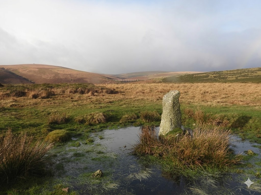
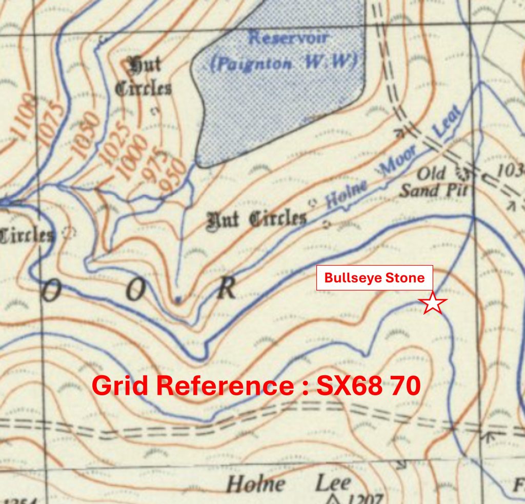
Grid Reference SX67 69. The item chosen to represent this square is Hapstead Ford and Boundary StoneGrid Reference SX67 69. Hapstead Ford and Boundary Stone is located at SX67050 69237Grid Reference SX67 70. The item chosen to represent this square is Ringleshutes Mine BoundstoneGrid Reference SX67 70. The Ringleshutes Mine Boundstone is located at SX67962 70170Grid Reference SX68 63. The item chosen to represent this square is Lily (Mary) Meynell MemorialGrid Reference SX68 63. The Lily (Mary) Meynell Memorial is located at SX6837 6342Grid Reference SX68 64. The item chosen to represent this square is a South Brent / Dean Prior Parish Boundary StoneGrid Reference SX68 64. The South Brent / Dean Prior Parish Boundary Stone is located at SX68689 64537Grid Reference SX68 65. The item chosen to represent this square is a piece of Narrow Gauge Rail TrackGrid Reference SX68 65. The piece of Narrow Gauge Rail Track is located at SX6809 6504Grid Reference SX68 66. The item chosen to represent this square is a Drain Cover from former water extraction from Brockhill Mire for Buckfastleigh Grid Reference SX68 66. The Drain Cover from former water extraction from Brockhill Mire for Buckfastleigh is located at SX68133 66437Grid Reference SX68 67. The item chosen to represent this square is Lud GateGrid Reference SX68 67. Lud Gate is located at SX68408 67327Grid Reference SX68 68. The item chosen to represent this square is Scorraton (Scorriton) Down FarmGrid Reference SX68 68. Scorraton (Scorriton) Down Farm is located at SX68297 68469Grid Reference SX68 69. The item chosen to represent this square is ‘TA’ Inscription (ex Boundstone) in 6 impost ClapperGrid Reference SX68 69. The ‘TA’ Inscription (ex Boundstone) in 6 impost Clapper is located at SX68554 69091Grid Reference SX68 69. The item chosen to represent this square is a Bullseye Stone
Grid Reference SX68 70. The Bullseye Stone is located at SX68881 70349
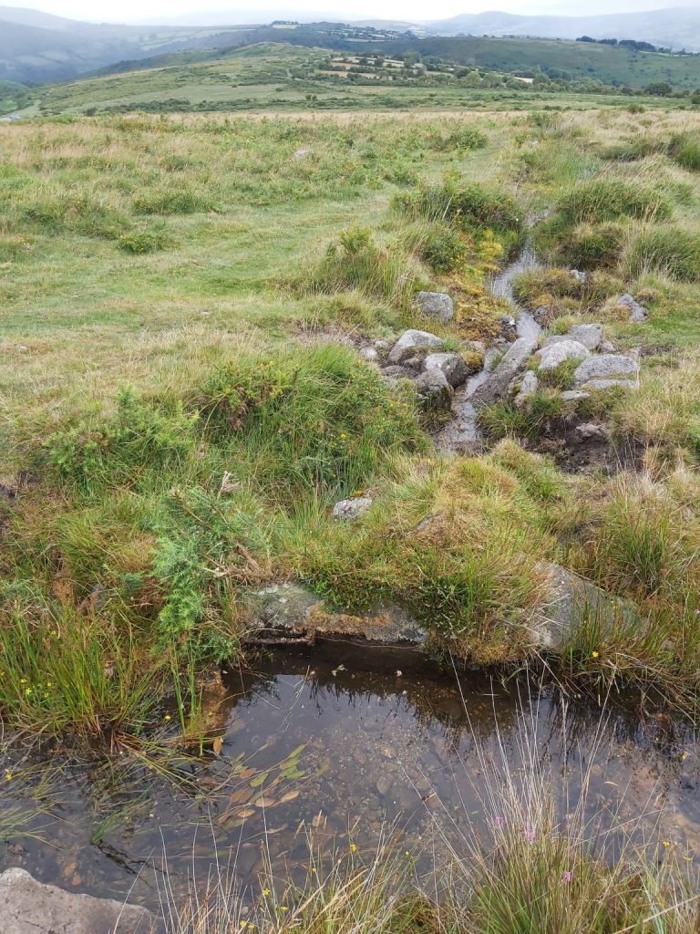
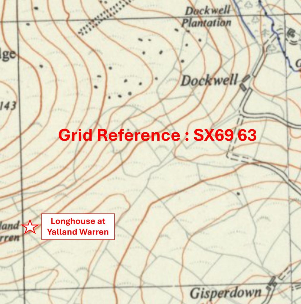
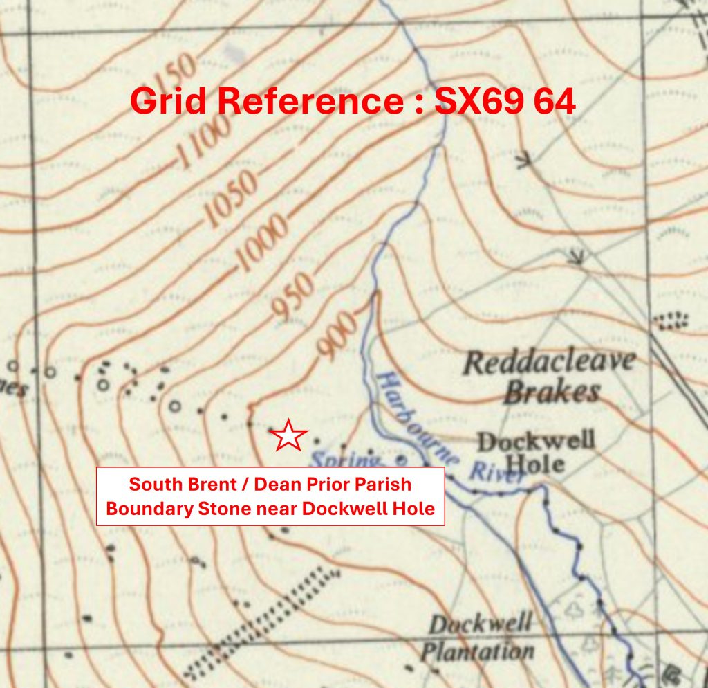
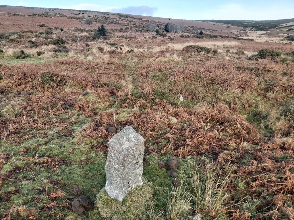
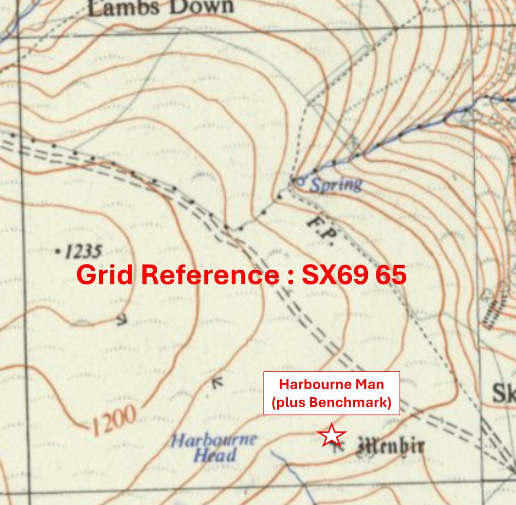
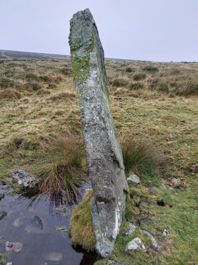
Grid Reference SX69 63. The item chosen to represent this square is a Longhouse at Yalland WarrenGrid Reference SX69 63. The Longhouse at Yalland Warren is located at SX69010 63227Grid Reference SX69 64. The item chosen to represent this square is a South Brent / Dean Prior Parish Boundary Stone near Dockwell HoleGrid Reference SX69 64. The South Brent / Dean Prior Parish Boundary Stone near Dockwell Hole is located at SX69405 64345Grid Reference SX69 65. The item chosen to represent this square is Harbourne Man (plus Benchmark)
Grid Reference SX69 65. Harbourne Man (plus Benchmark) was located at SX69662 65097
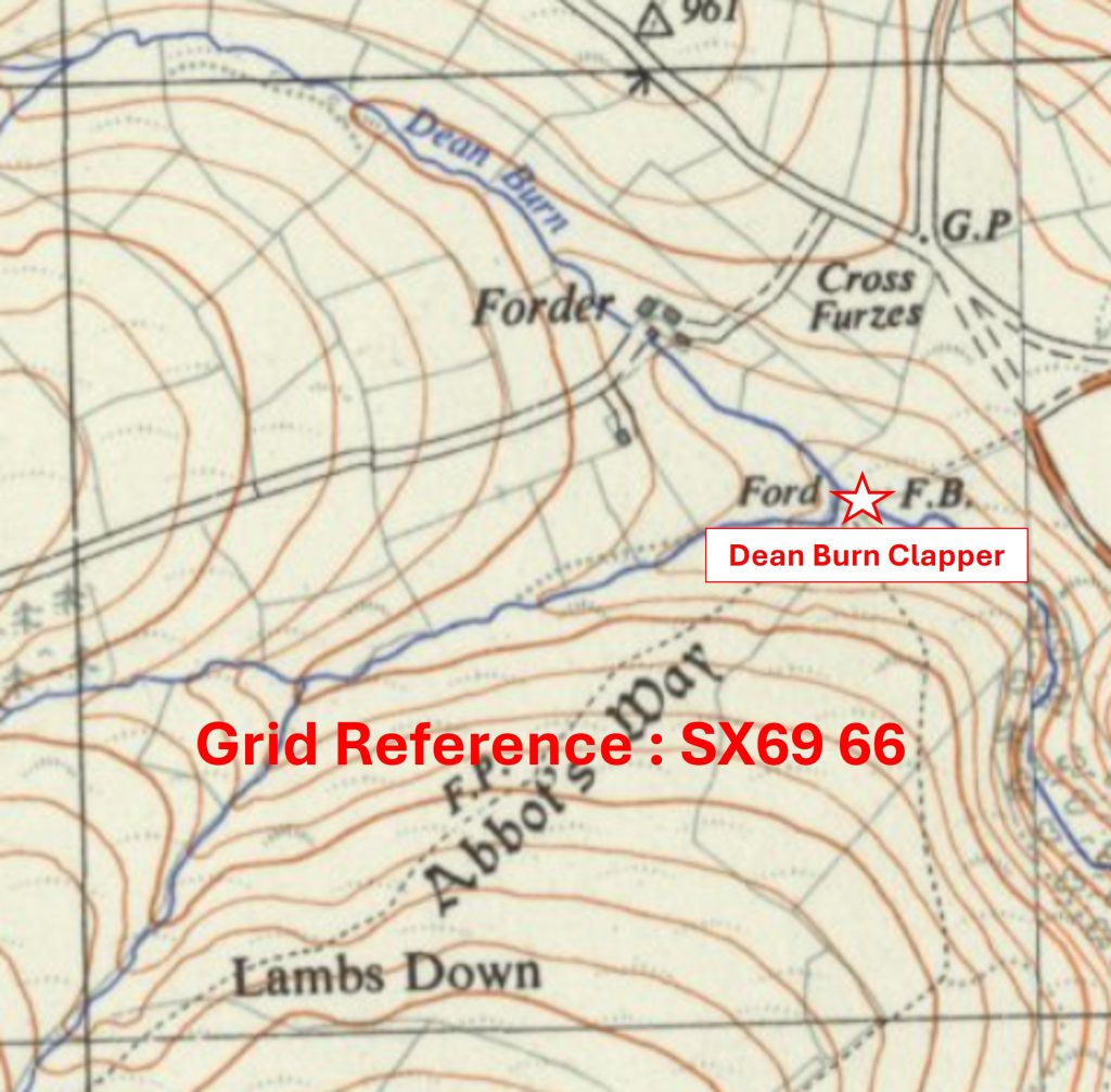
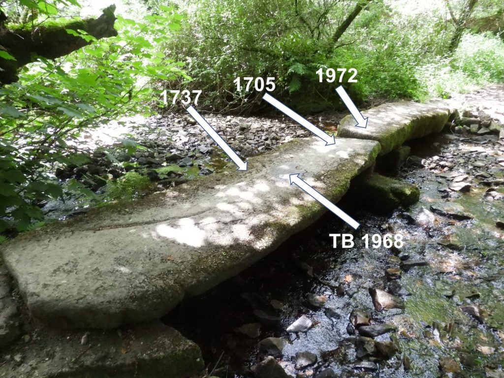
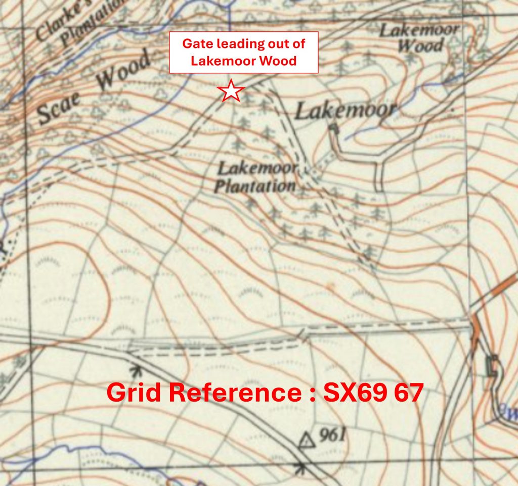
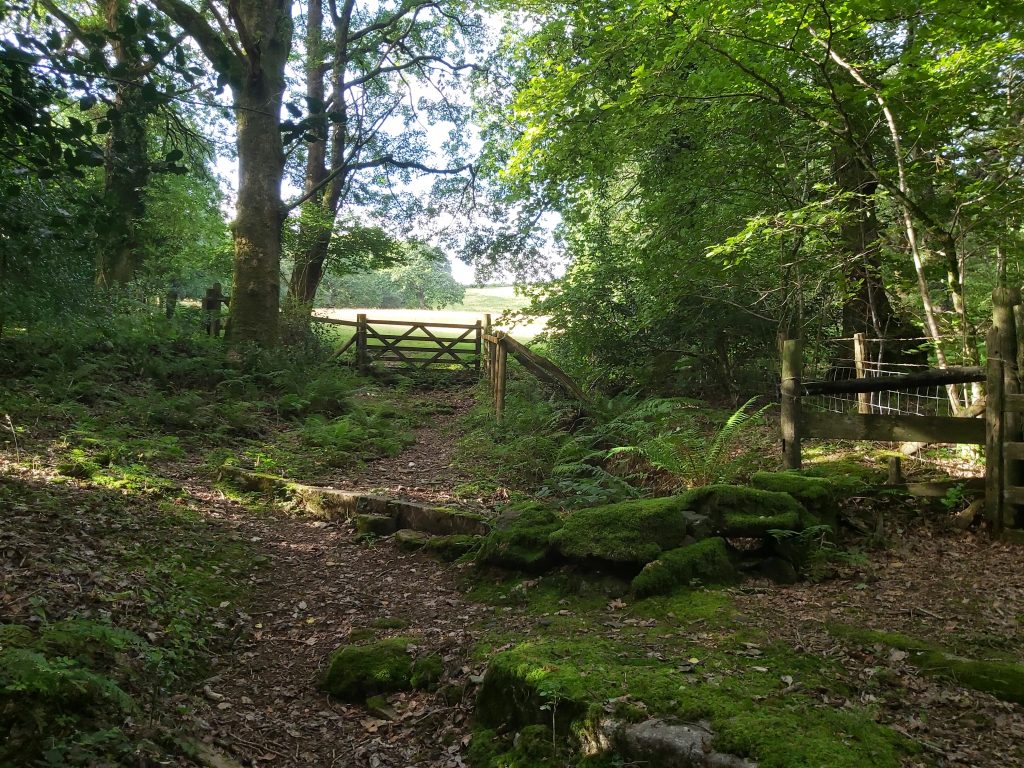
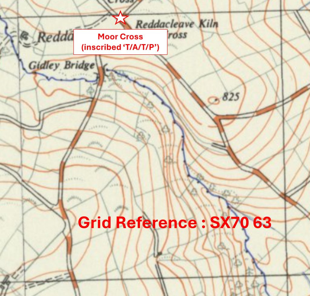
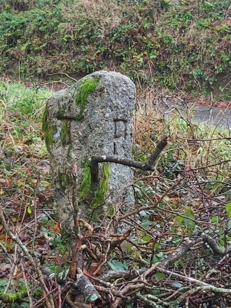
Grid Reference SX69 66. The item chosen to represent this square is Dean Burn ClapperGrid Reference SX69 66. Dean Burn Clapper is located at SX6982 6653Grid Reference SX69 67. The item chosen to represent this square is a Gate leading out of Lakemoor WoodGrid Reference SX69 67. The Gate leading out of Lakemoor Wood is located at SX69458 67859Grid Reference SX69 68. The item chosen to represent this square is MichelcombeGrid Reference SX69 68. Michelcombe is located at SX6965 6893Grid Reference SX69 69. The item chosen to represent this square is a Ford near Greatcombe CottagesGrid Reference SX69 69. The Ford near Greatcombe Cottages is located at SX69471 69105Grid Reference SX69 70. The item chosen to represent this square is a Small ClapperGrid Reference SX69 70. The Small Clapper is located at SX69715 70134Grid Reference SX70 63. The item chosen to represent this square is Moor Cross (inscribed ‘T/A/T/P’)
Grid Reference SX70 63. Moor Cross (inscribed ‘T/A/T/P’) is located at SX70393 63988
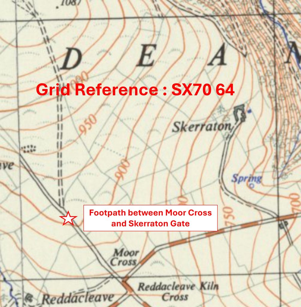
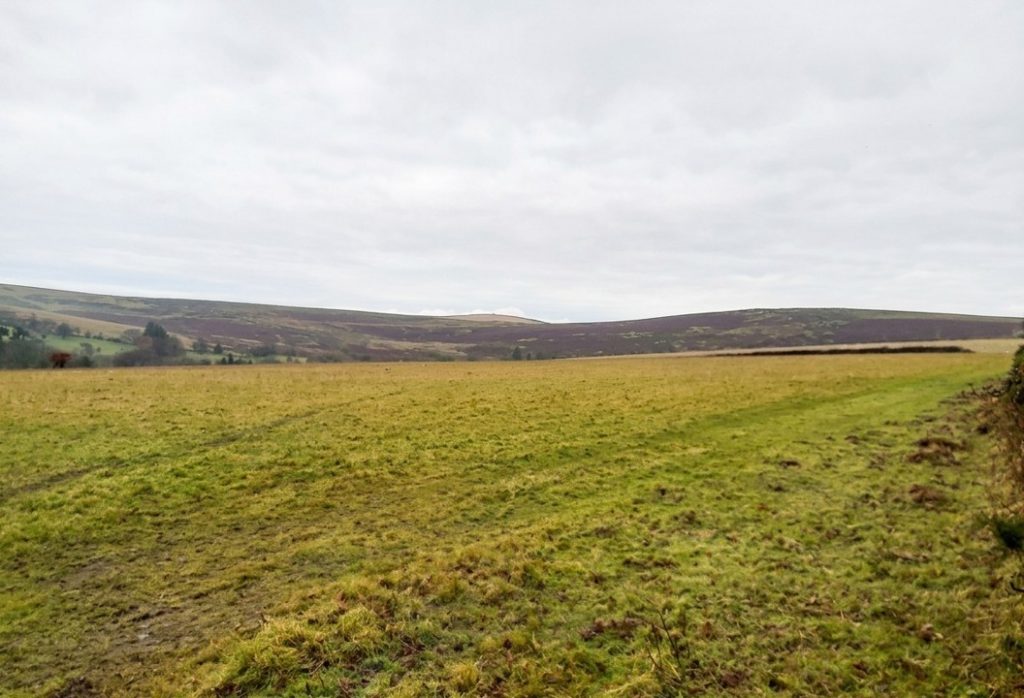
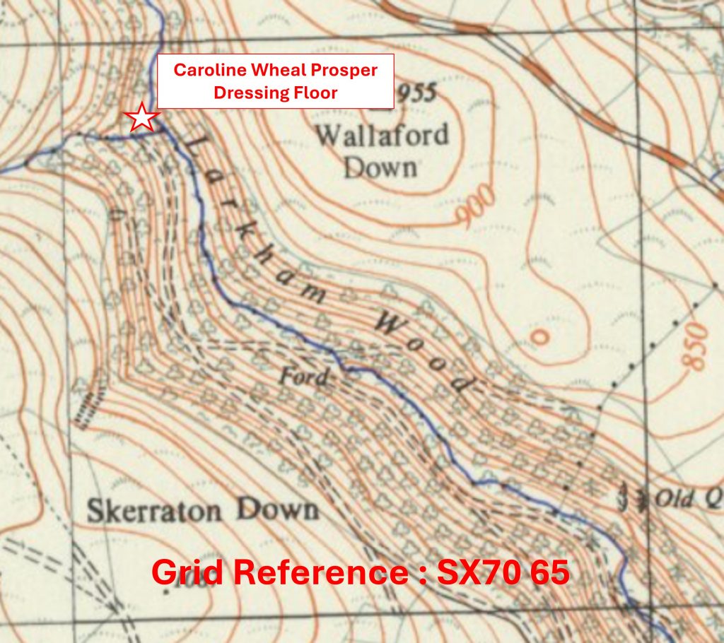
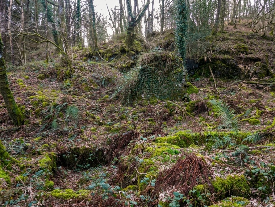
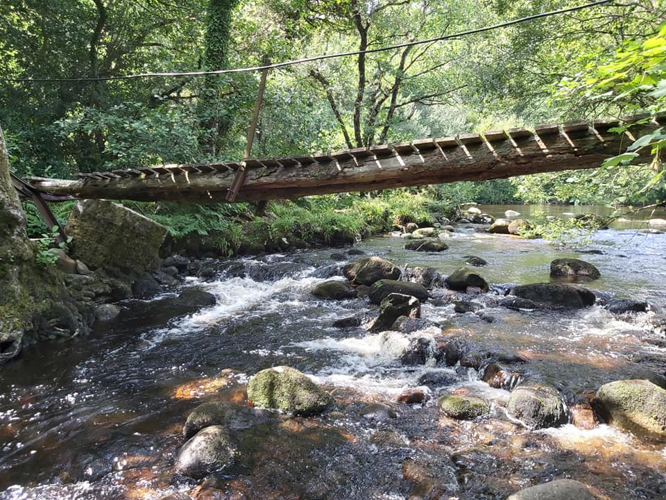
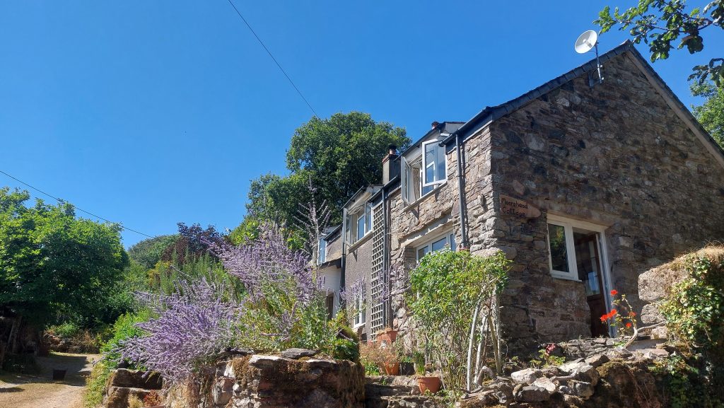
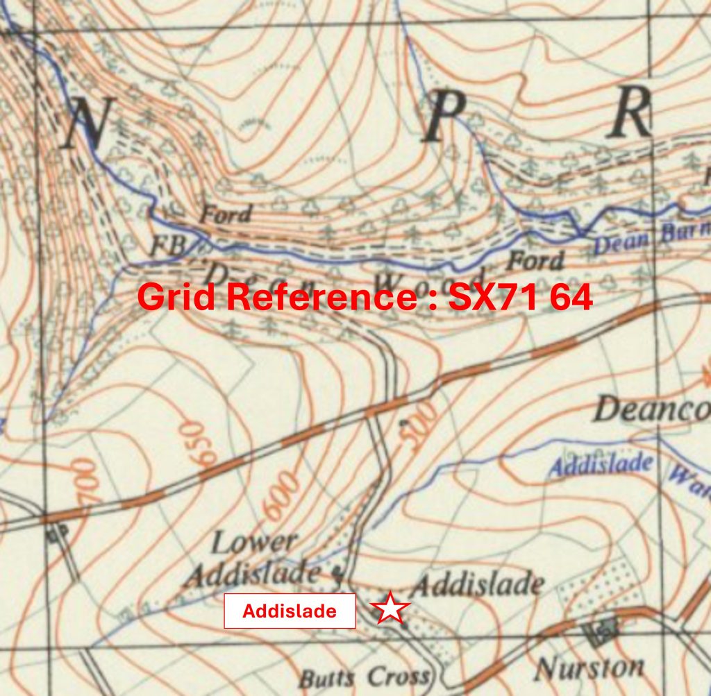
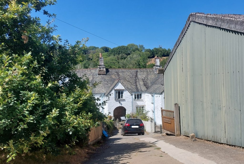
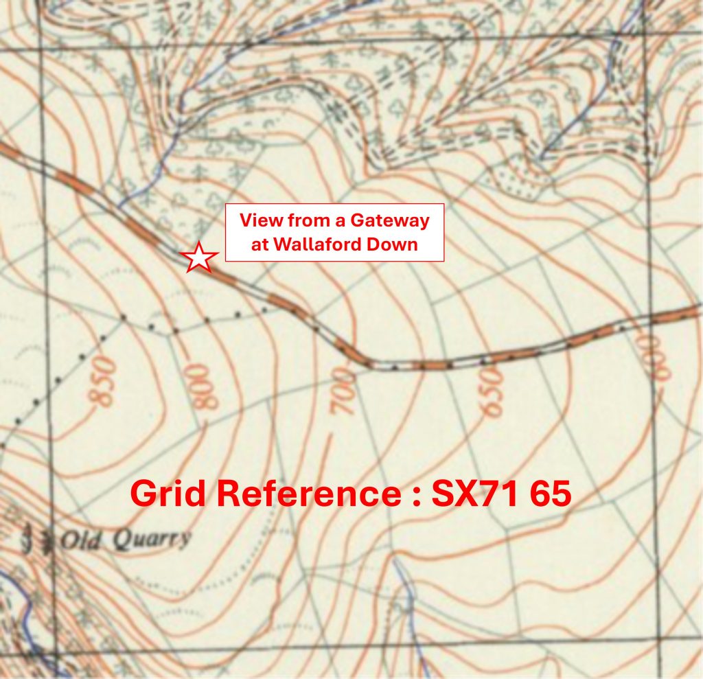
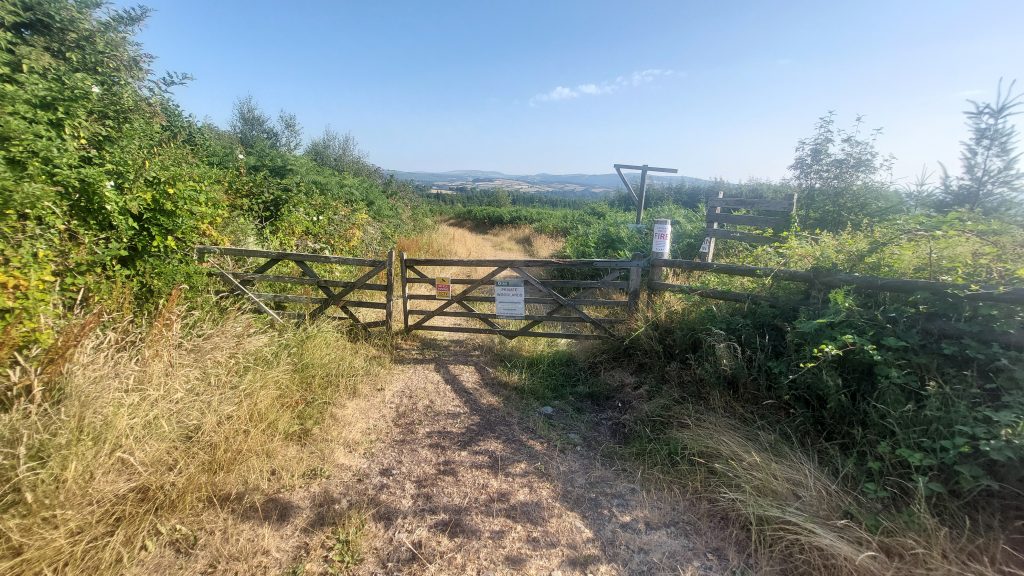
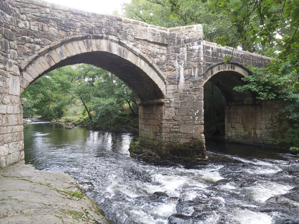
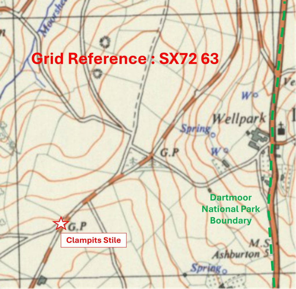
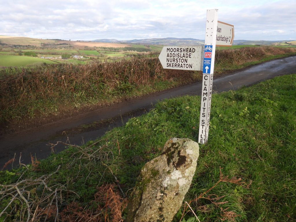
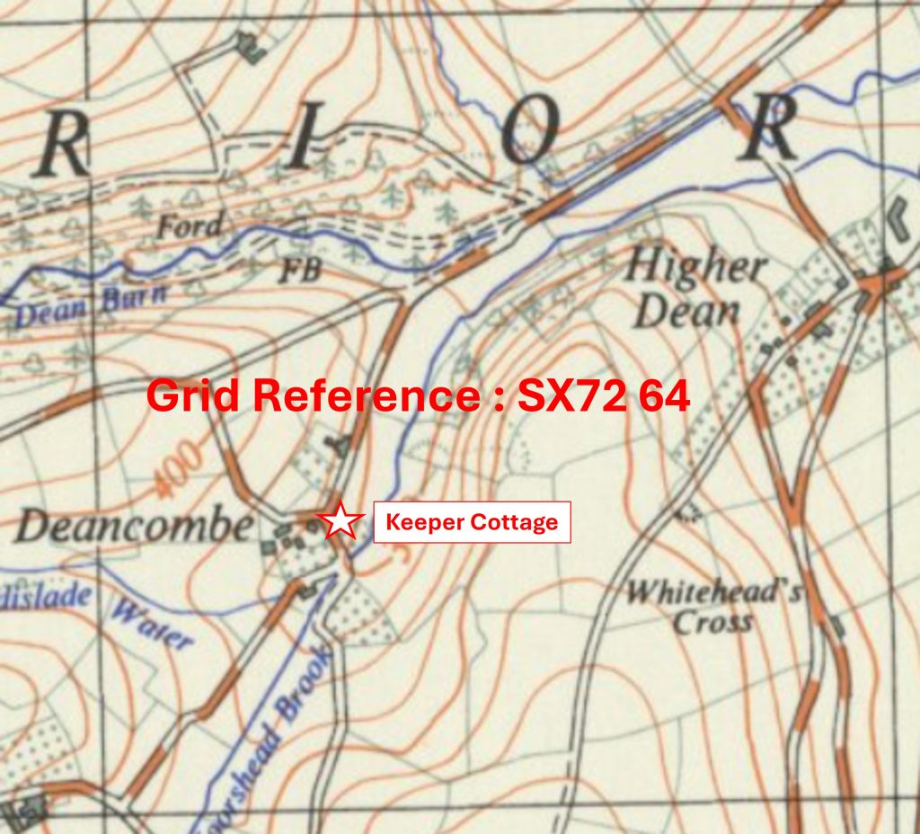
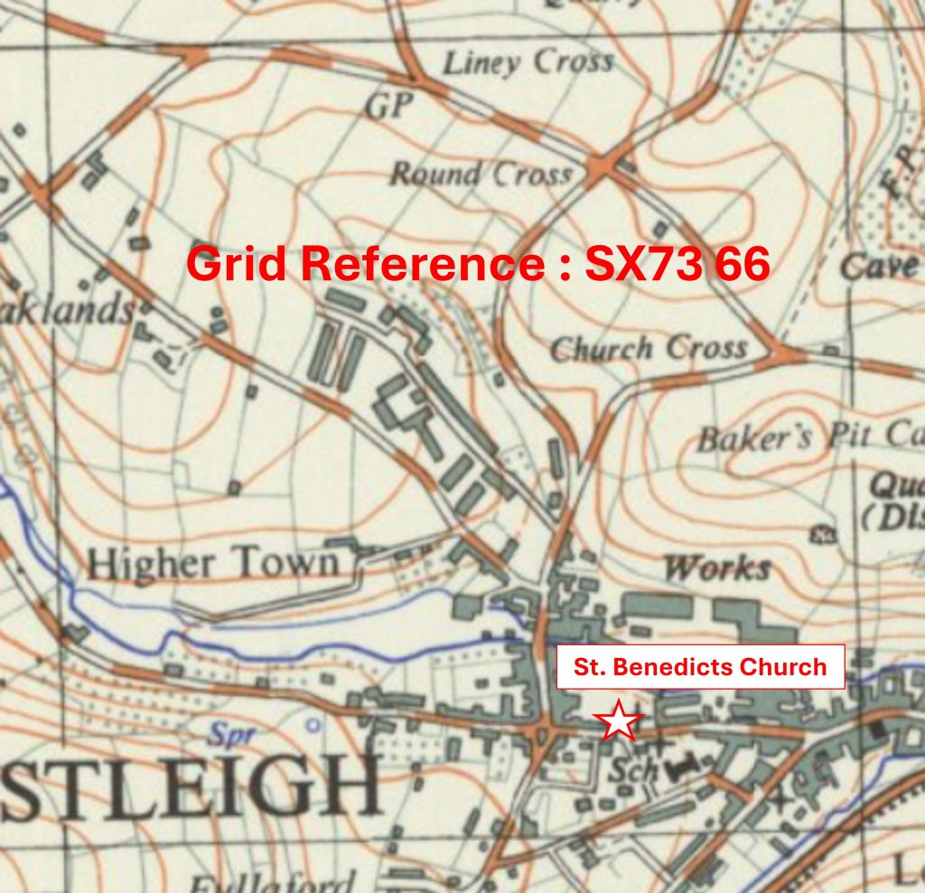
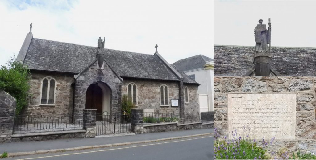
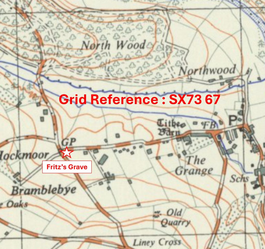
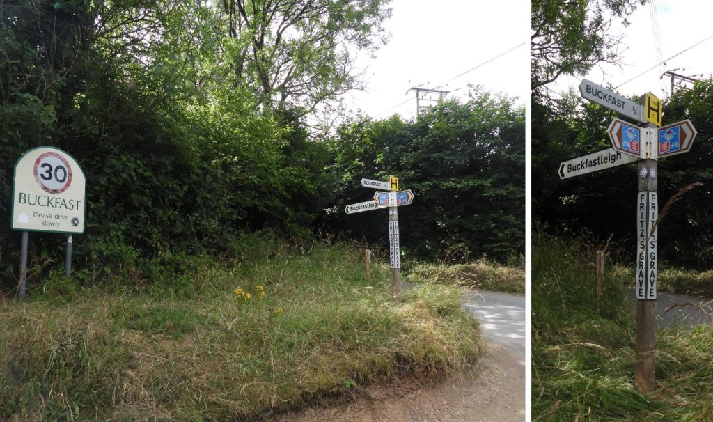
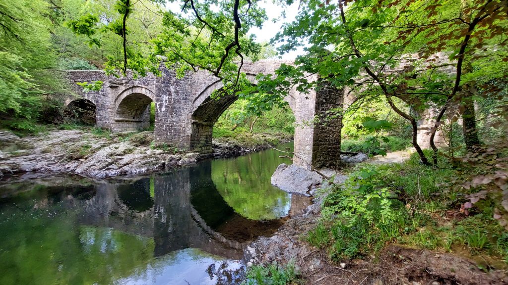
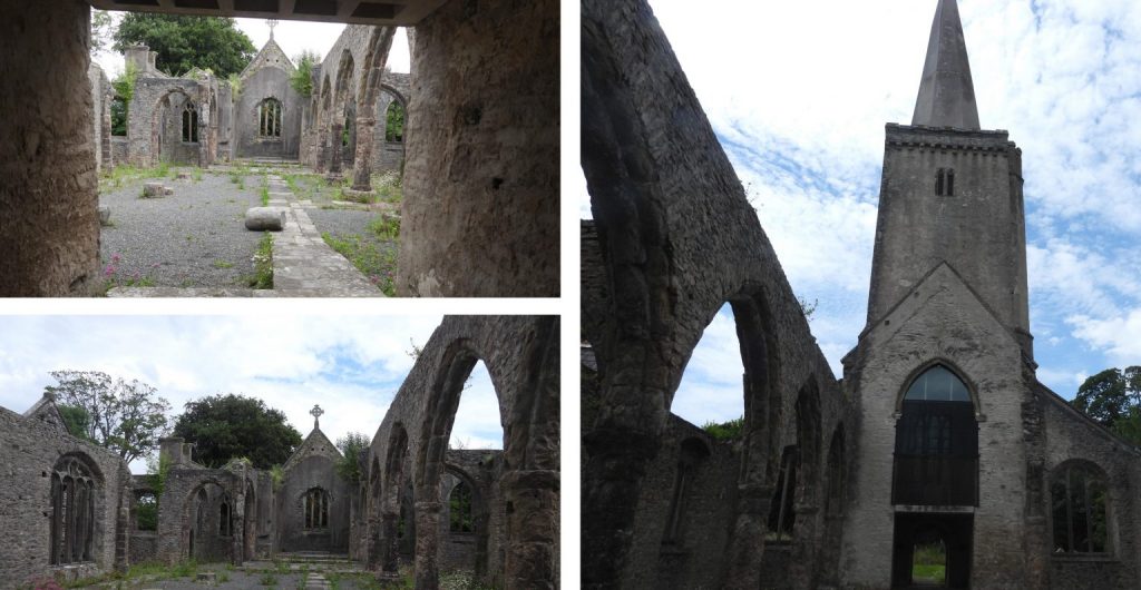
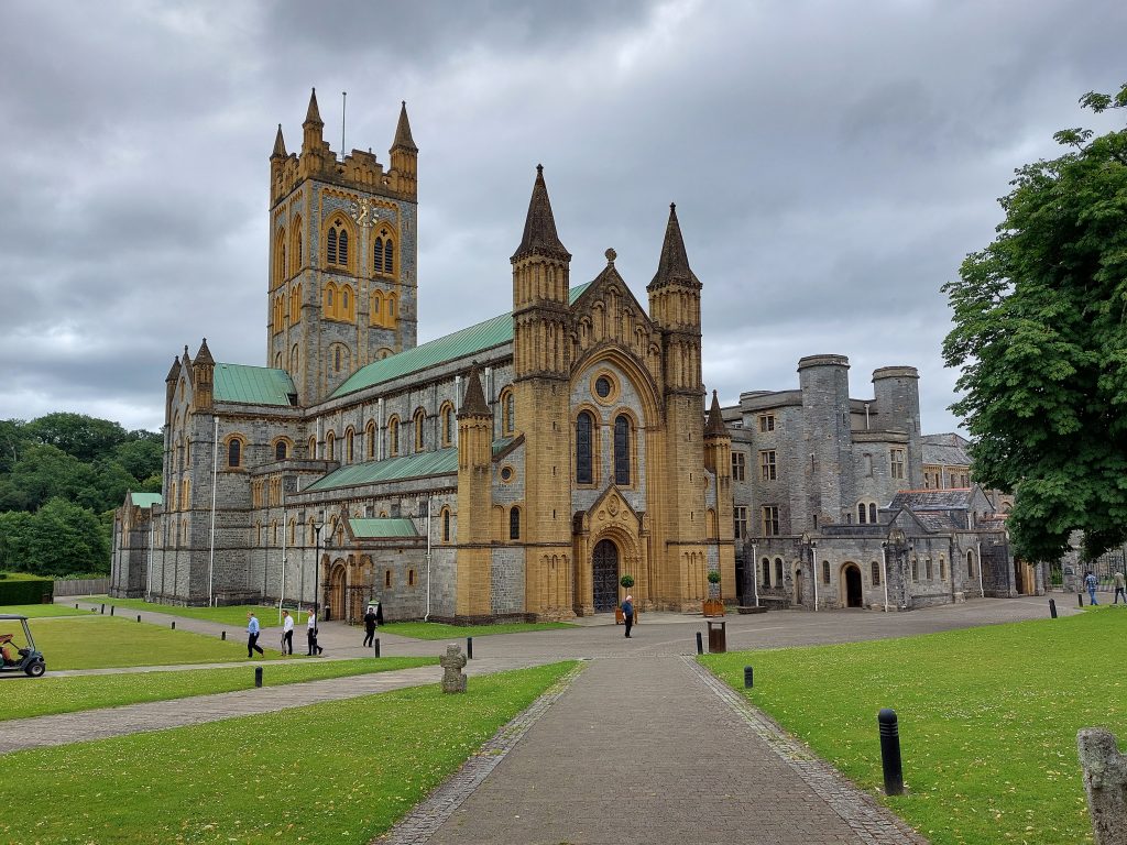
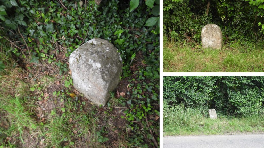
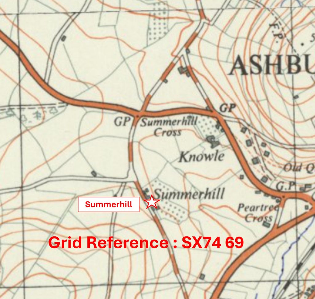
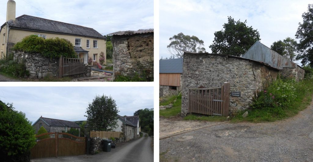
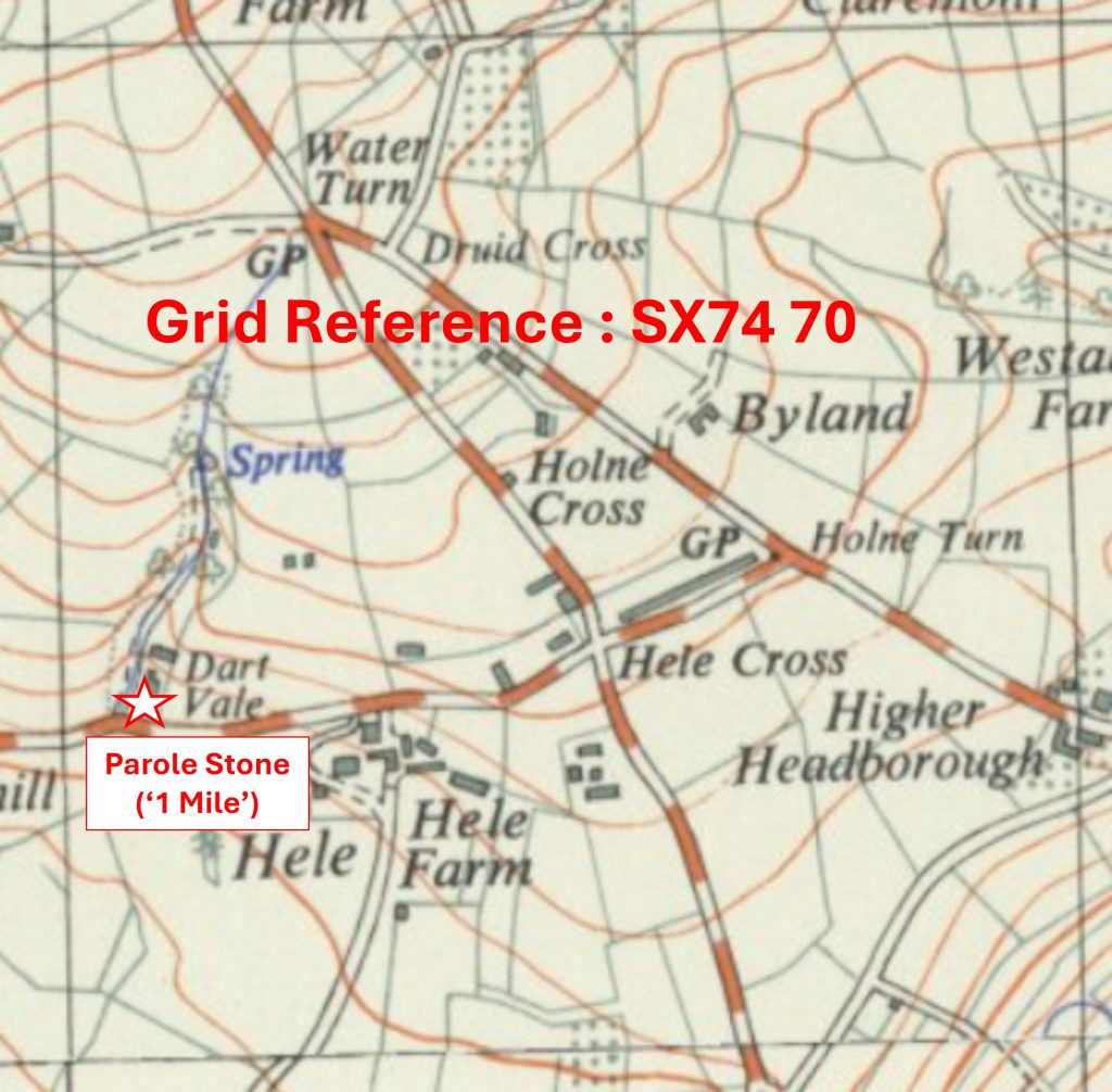
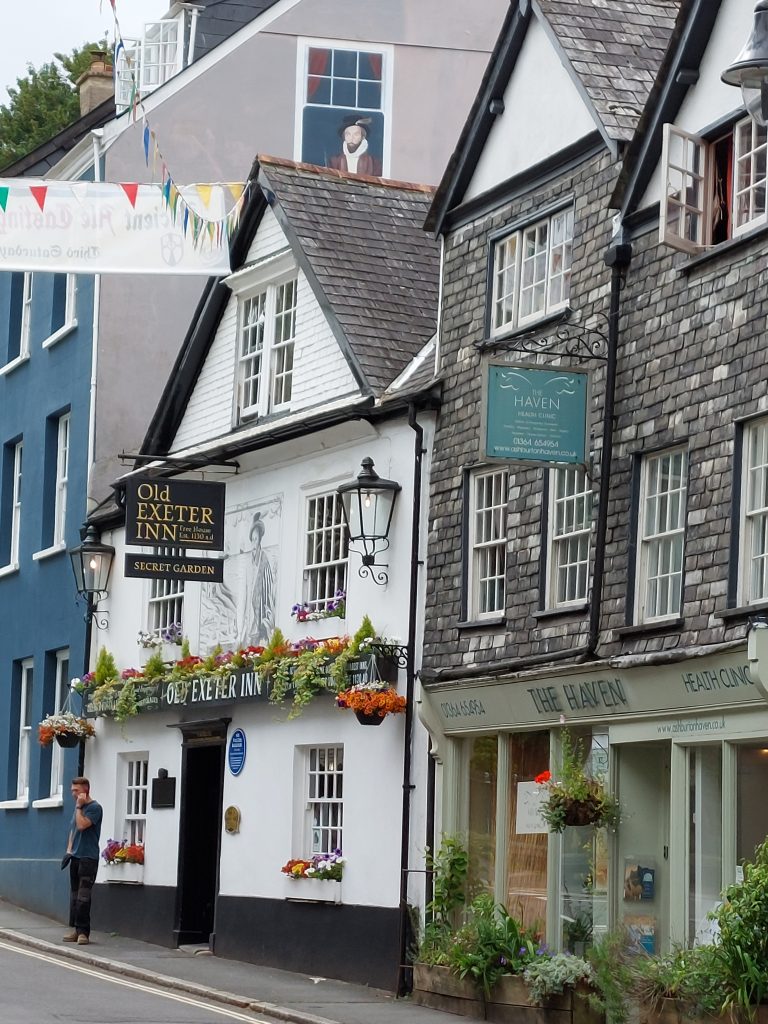
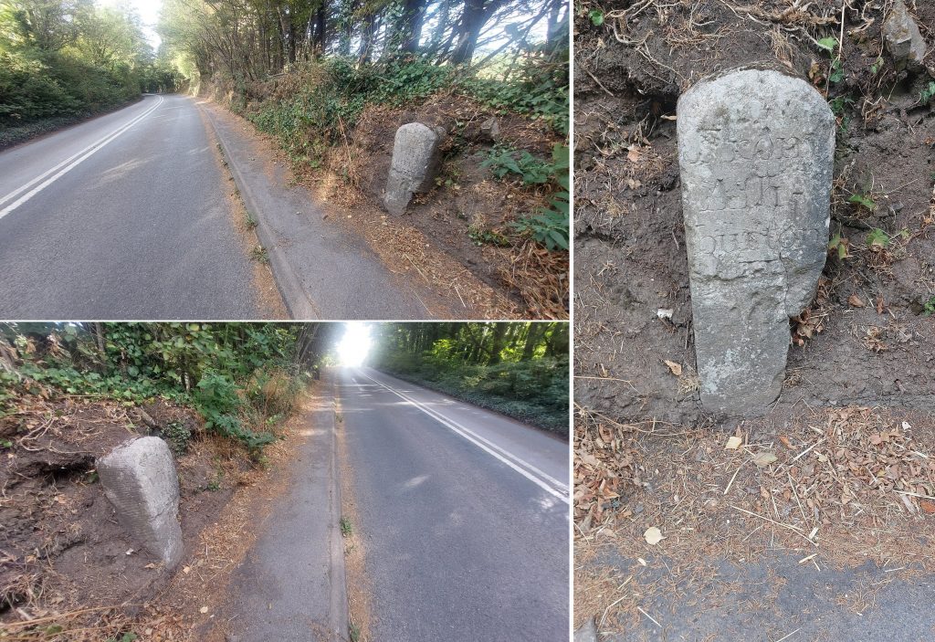
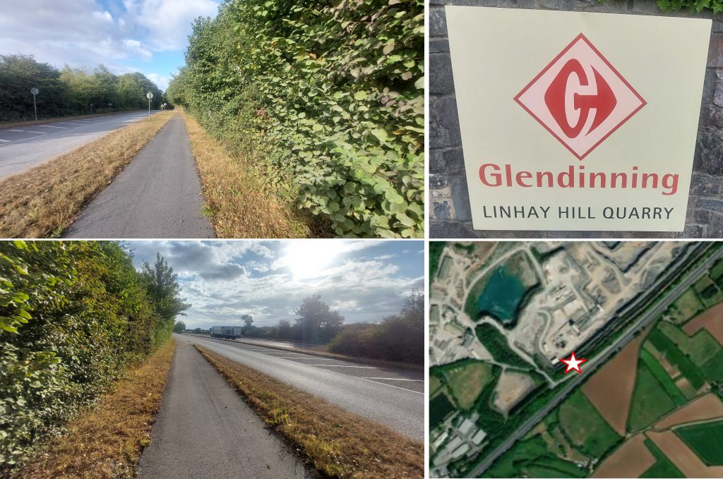
Grid Reference SX70 64. The item chosen to represent this square is Footpath between Moor Cross and Skerraton GateGrid Reference SX70 64. The Footpath between Moor Cross and Skerraton Gate is located at SX7021 6418Grid Reference SX70 65. The item chosen to represent this square is Caroline Wheal Prosper, Dressing FloorGrid Reference SX70 65. Caroline Wheal Prosper, Dressing Floor is centred at SX7015 6586Grid Reference SX70 66. The item chosen to represent this square is an Old Road near Cross FurzesGrid Reference SX70 66. The Old Road near Cross Furzes is centred at SX7005 6671Grid Reference SX70 67. The item chosen to represent this square is the Entrance to Bowden FarmGrid Reference SX70 67. The Entrance to Bowden Farm is located at SX70015 67285Grid Reference SX70 68. The item chosen to represent this square is Old and New Chapels at ScoritonGrid Reference SX70 68. The Old and New Chapels at Scoriton are located at SX7039 6861Grid Reference SX70 69. The item chosen to represent this square is Holne ChurchGrid Reference SX70 69. Holne Church is located at SX70578 69489Grid Reference SX70 70. The item chosen to represent this square is an Old Bridge to Wellsfoot IslandGrid Reference SX70 70. The Old Bridge to Wellsfoot Island is located at SX7058 7014Grid Reference SX71 63. The item chosen to represent this square is Moors Head CottageGrid Reference SX71 63. Moors Head Cottage is located at SX71260 63445Grid Reference SX71 64. The item chosen to represent this square is AddisladeGrid Reference SX71 64. Addislade is centred at SX7158 6404Grid Reference SX71 65. The item chosen to represent this square is a View from and Gateway at Wallaford DownGrid Reference SX71 65. The View from and Gateway at Wallaford Down is located at SX71228 65661Grid Reference SX71 66. The item chosen to represent this square is a View from a Gateway to Wallaford DownGrid Reference SX71 66. The View from a Gateway to Wallaford Down is located at SX71031 66829Grid Reference SX71 67. The item chosen to represent this square is ButtonGrid Reference SX71 67. Button is located at SX71838 67177Grid Reference SX71 68. The item chosen to represent this square is Hawson Cross (Stumpy Oak)Grid Reference SX71 68. Hawson Cross (Stumpy Oak) is located at SX71063 68179Grid Reference SX71 69. The item chosen to represent this square is Gallant Le BowerGrid Reference SX71 69. Gallant Le Bower junction is located at SX71907 69982Grid Reference SX71 70. The item chosen to represent this square is New BridgeGrid Reference SX71 70. New Bridge is located at SX71145 70873Grid Reference SX72 63. This is a part square. The item chosen to represent this square is Clampits StileGrid Reference SX72 63. This is a part square. Clampits Stile is located at SX7218 6323Grid Reference SX72 64. The item chosen to represent this square is Keeper CottageGrid Reference SX72 64. Keeper Cottage is located at SX72305 64375Grid Reference SX72 65. The item chosen to represent this square is Benchmark B.M 400.7 at Higher RanscombeGrid Reference SX72 65. The Benchmark B.M 400.7 at Higher Ranscombe is located at SX72798 65818Grid Reference SX72 66. The item chosen to represent this square is BilberryhillGrid Reference SX72 66. Bilberryhill is located at SX726 668Grid Reference SX72 67. The item chosen to represent this square is Hockmoor Head Boundary StoneGrid Reference SX72 67. Hockmoor Head Boundary Stone is located at SX72762 67336Grid Reference SX72 68. The item chosen to represent this square is Hembury Castle (Hill Fort)Grid Reference SX72 68. Hembury Castle (Hill Fort) is located at SX726 684Grid Reference SX72 69. The item chosen to represent this square is a Boundary Stone (Gatepost)Grid Reference SX72 69. The Boundary Stone (Gatepost) is located at SX72280 69008Grid Reference SX72 70. The item chosen to represent this square is Cleft Rock (south end)Grid Reference SX72 70. Cleft Rock (south end) is located at SX72622 70864Grid Reference SX73 64. This is a part square. The item(s) chosen to represent this square are a K6 Telephone Box and a (GR) Post BoxGrid Reference SX73 64. This is a part square. The K6 Telephone Box and a (GR) Post Box are located at SX7312 6478Grid Reference SX73 65. This is a part square. The item chosen to represent this square is Duckspond (aka Fullaford Pool)Grid Reference SX73 65. This is a part square. Duckspond (aka Fullaford Pool) is located at SX73370 65752Grid Reference SX73 66. The item chosen to represent this square is St. Benedicts ChurchGrid Reference SX73 66. St. Benedicts Church is located at SX73694 66149Grid Reference SX73 67. The item chosen to represent this square is Fritz’s GraveGrid Reference SX73 67. Fritz’s Grave is located at SX73188 67379Grid Reference SX73 68. The item chosen to represent this square is King of the Dart AditGrid Reference SX73 68. The King of the Dart Adit is located at SX73348 68819Grid Reference SX73 69. The item chosen to represent this square is a (Parish) Boundary StoneGrid Reference SX73 69. The (Parish) Boundary Stone is located at SX73379 69150Grid Reference SX73 70. The item chosen to represent this square is Holne BridgeGrid Reference SX73 70. Holne Bridge is located at SX73012 70581Grid Reference SX74 66. This is a part square. The item chosen to represent this square is Holy Trinity Parish ChurchGrid Reference SX74 66. Holy Trinity Parish Church is located at SX7423 6658Grid Reference SX74 67. This is a part square. The item chosen to represent this square is Buckfast AbbeyGrid Reference SX74 67. Buckfast Abbey is located at SX7413 6738Grid Reference SX74 68. This is a part square. The item chosen to represent this square is a Milestone (‘From/Ash/Burton/1/Mile’)Grid Reference SX74 68. The Milestone (‘From/Ash/Burton/1/Mile’) is located at SX74610 68766Grid Reference SX74 69. The item chosen to represent this square is SummerhillGrid Reference SX74 69. Summerhill is located at SX7447 6931Grid Reference SX74 70. The item chosen to represent this square is a Parole Stone (‘1 Mile’)Grid Reference SX74 70. The Parole Stone (‘1 Mile’) is located at SX74058 70345Grid Reference SX75 69. This is a part square. The item chosen to represent this square is Exeter Inn
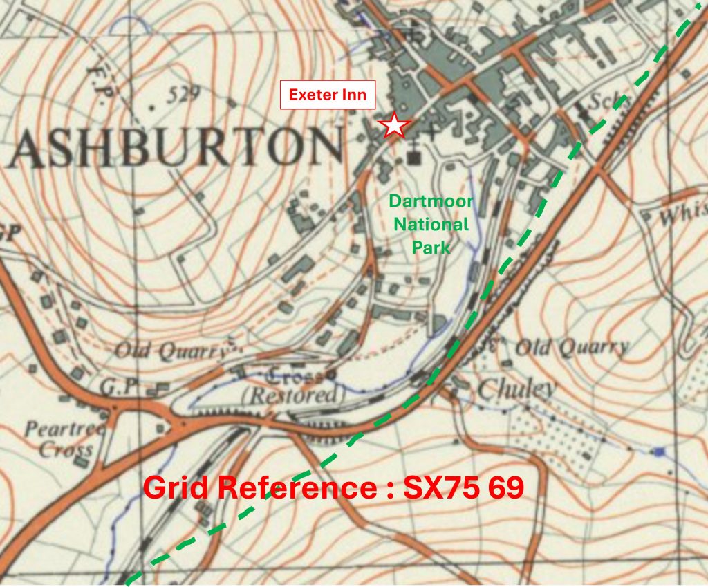
Grid Reference SX75 69. Exeter Inn is located at SX7547 6979
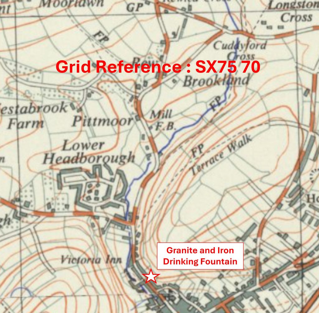
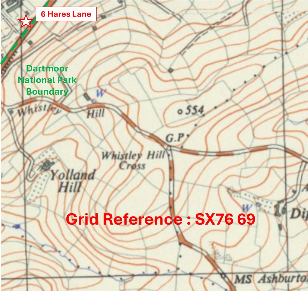
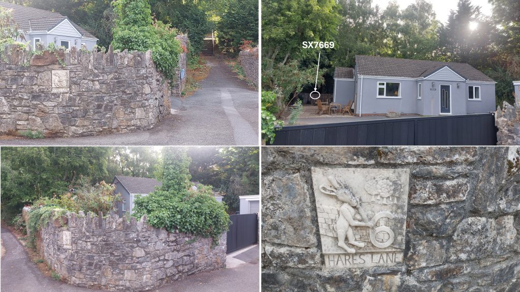
Grid Reference SX75 70. The item chosen to represent this square is a Granite and Iron Drinking FountainGrid Reference SX75 70. The Granite and Iron Drinking Fountain is located at SX75432 70074Grid Reference SX76 69. This is a part square. The only part of this square within the National Park Boundary is the back garden of 6 Hares Lane, Ashburton.Grid Reference SX76 69. This is a part square. The only part of this square within the National Park Boundary is the back garden of 6 Hares Lane, Ashburton , which is centred at approx. SX76006 69988Grid Reference SX76 70. This is a part square. The item chosen to represent this square is a MilestoneGrid Reference SX76 70. This is a part square. The Milestone is located at SX76884 70820Grid Reference SX77 70. This is a part square. The item chosen to represent this square is the (southern) Boundary of Glendinning (Linhay Hill) Quarry which is by slip road to A38 Devon ExpresswayGrid Reference SX77 70. This is a part square. The item chosen to represent this square is the (southern) Boundary of Glendinning (Linhay Hill) Quarry which is by slip road to A38 Devon Expressway. The ‘slip road’ pictures were taken at SX77019 70908