A collection of walks, discoveries, insights and pictures of exploring Dartmoor National Park
May 12, 2022
Yennadon Down – an exploration
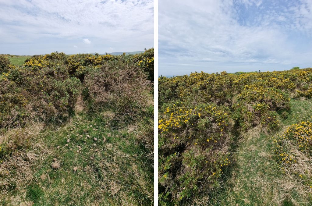
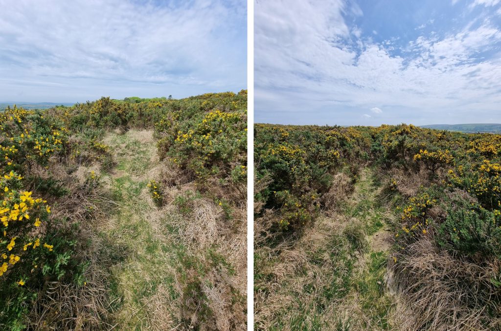
Yennadon Down is a lovely domed shaped hill sandwiched between Burrator Reservoir and the village of Dousland. The views here are magnificent, especially to the south and west. To the casual observer, aside the views, the down has little to offer in interest. This post has been created to showcase many of the eclectic mix of historic features across the southern flanks of the down and includes the Iron Mine and sett, a number of boundstones / inscribed rocks, some WWII sites, some features associated with Devonport Leat and the course of the Plymouth and Dartmoor tramway.
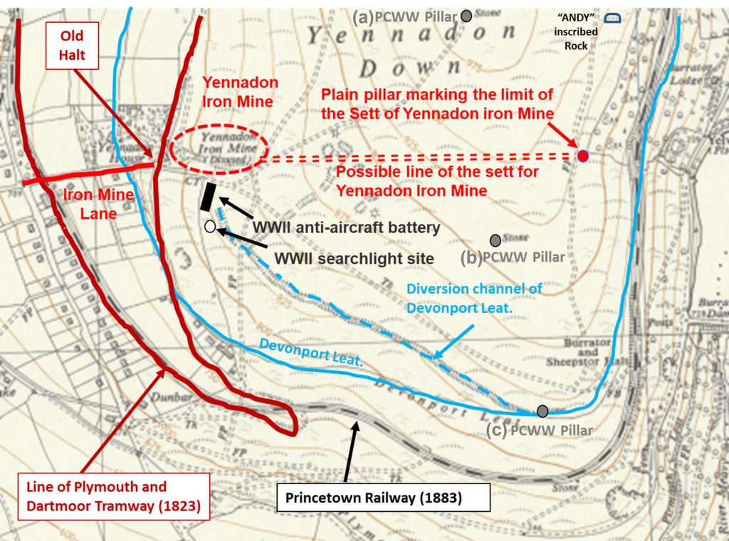
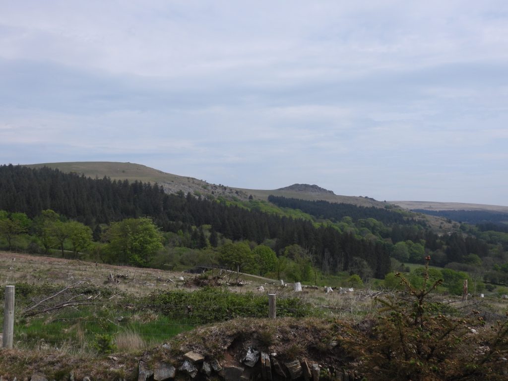
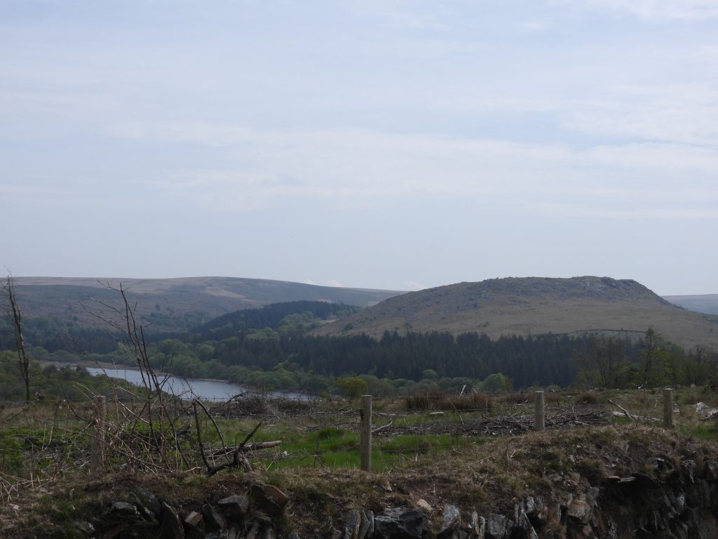
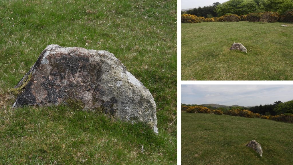
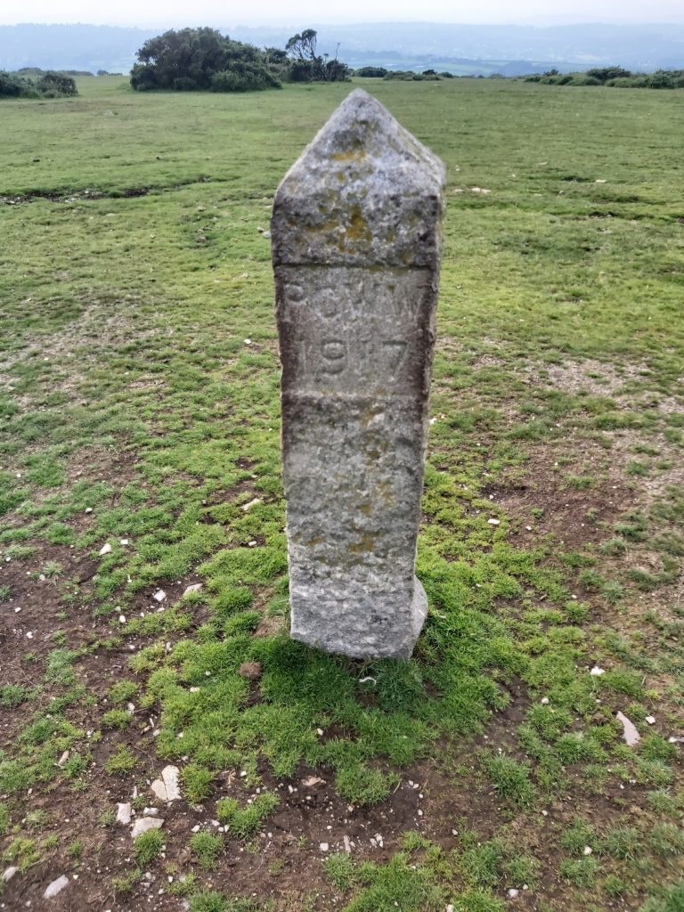
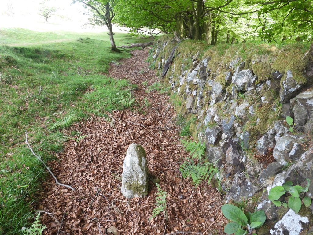
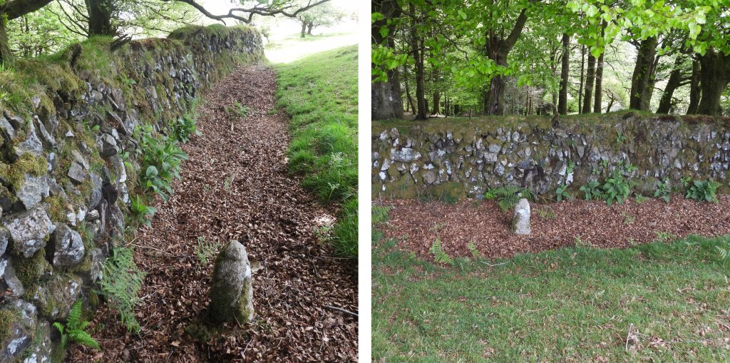
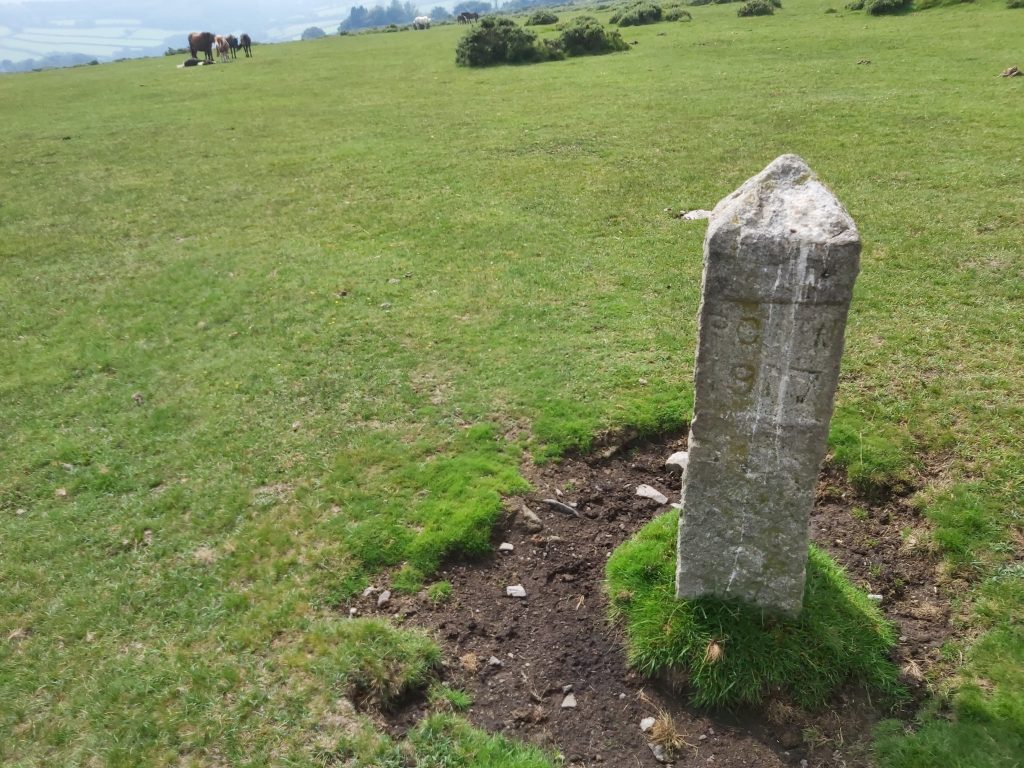
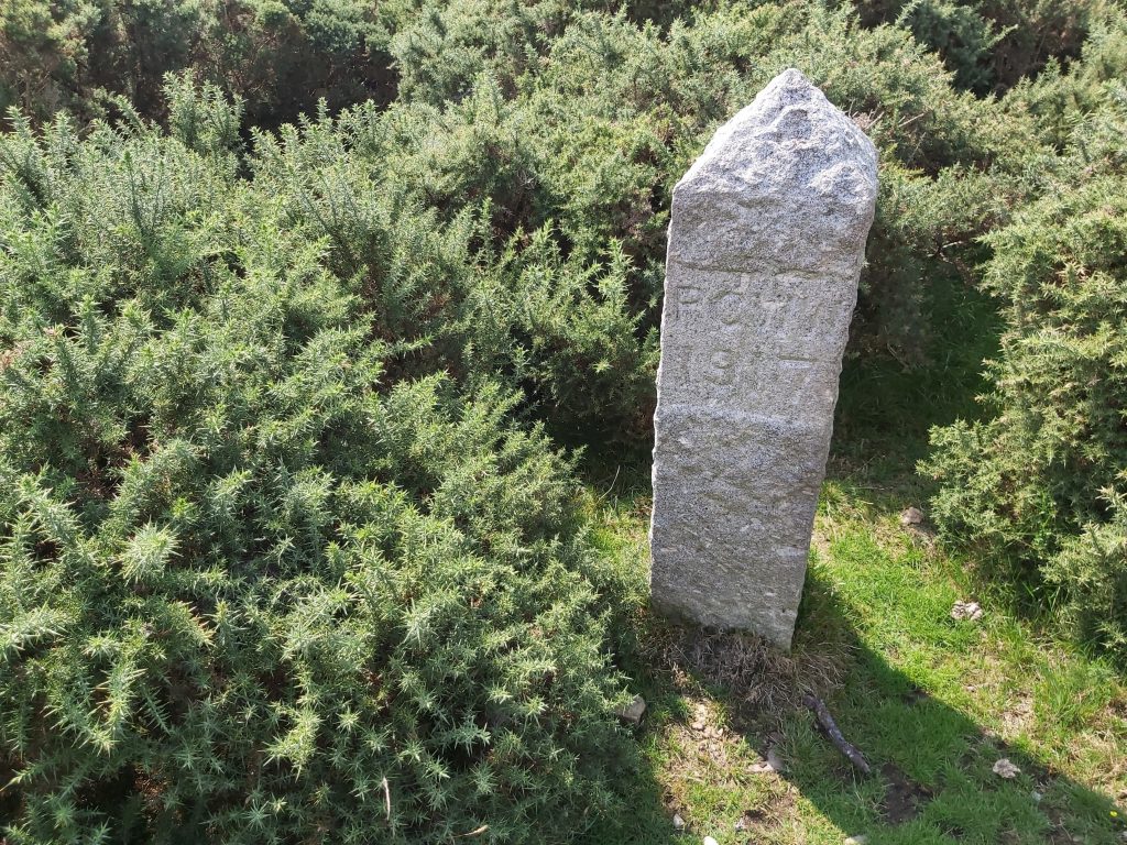
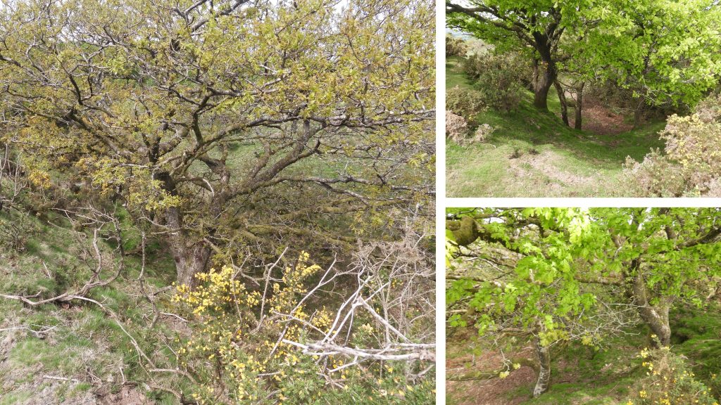
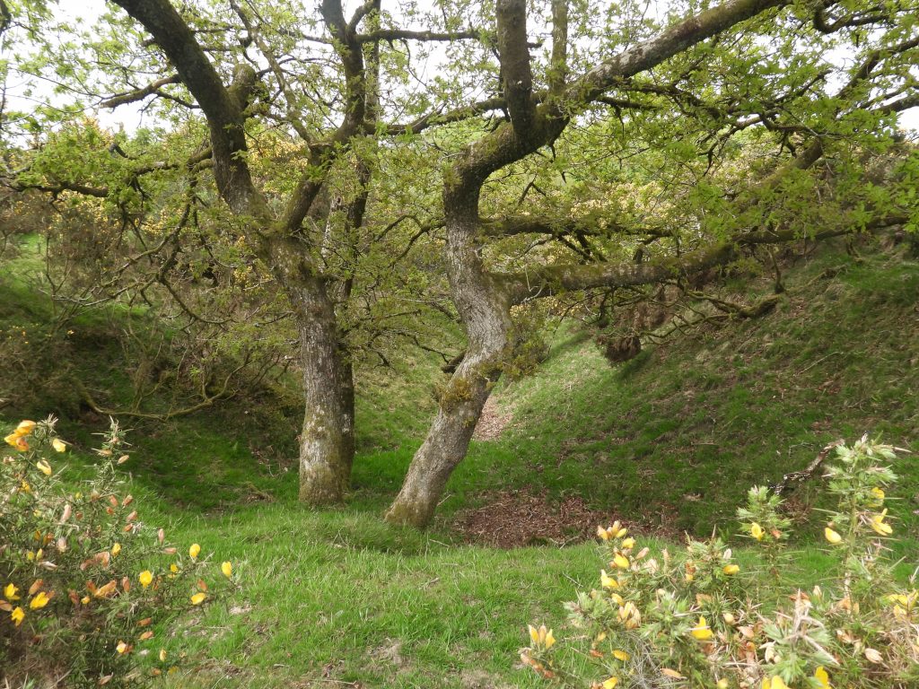
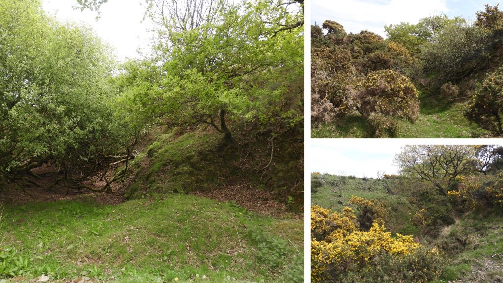
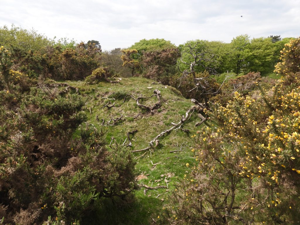
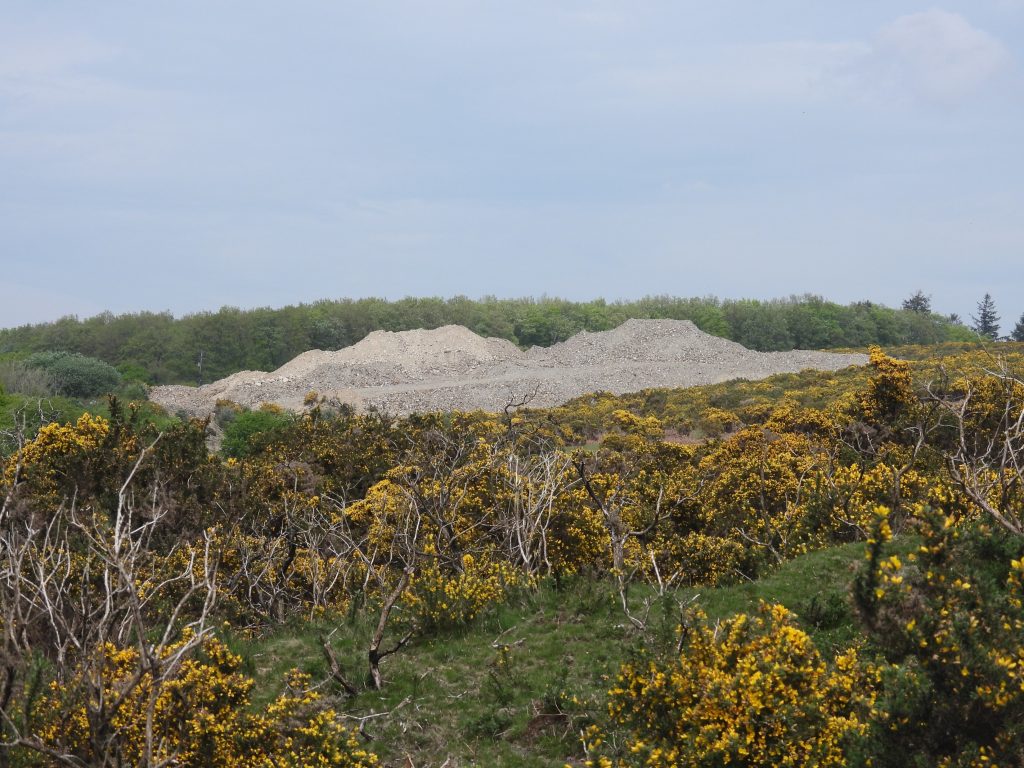
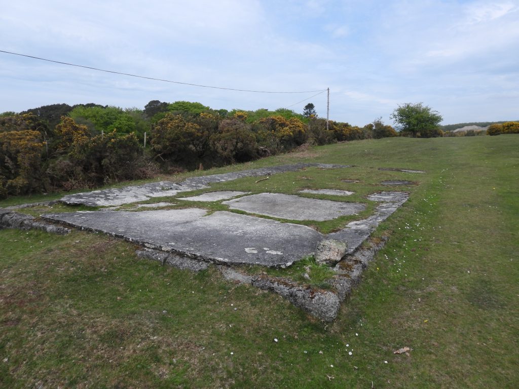
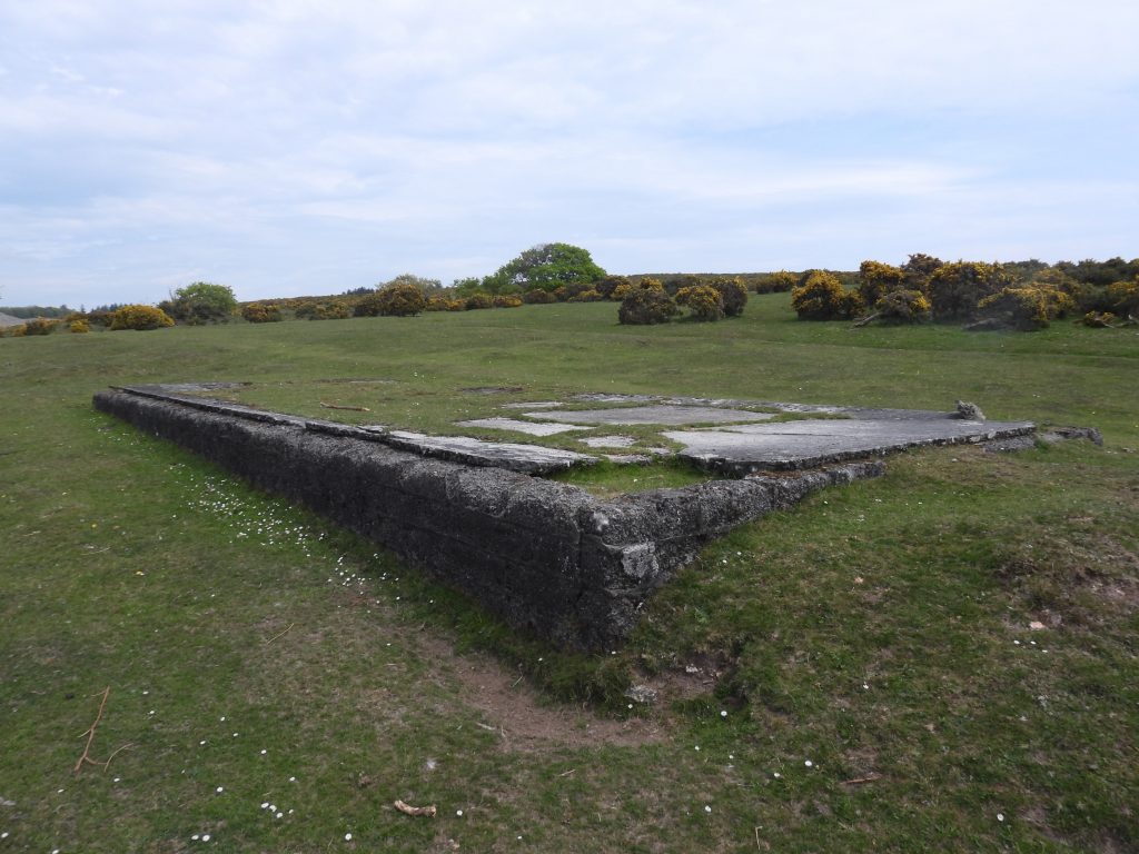
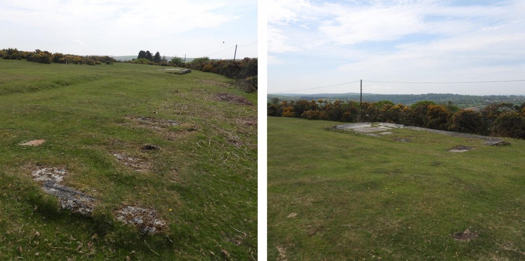
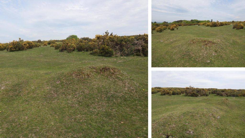
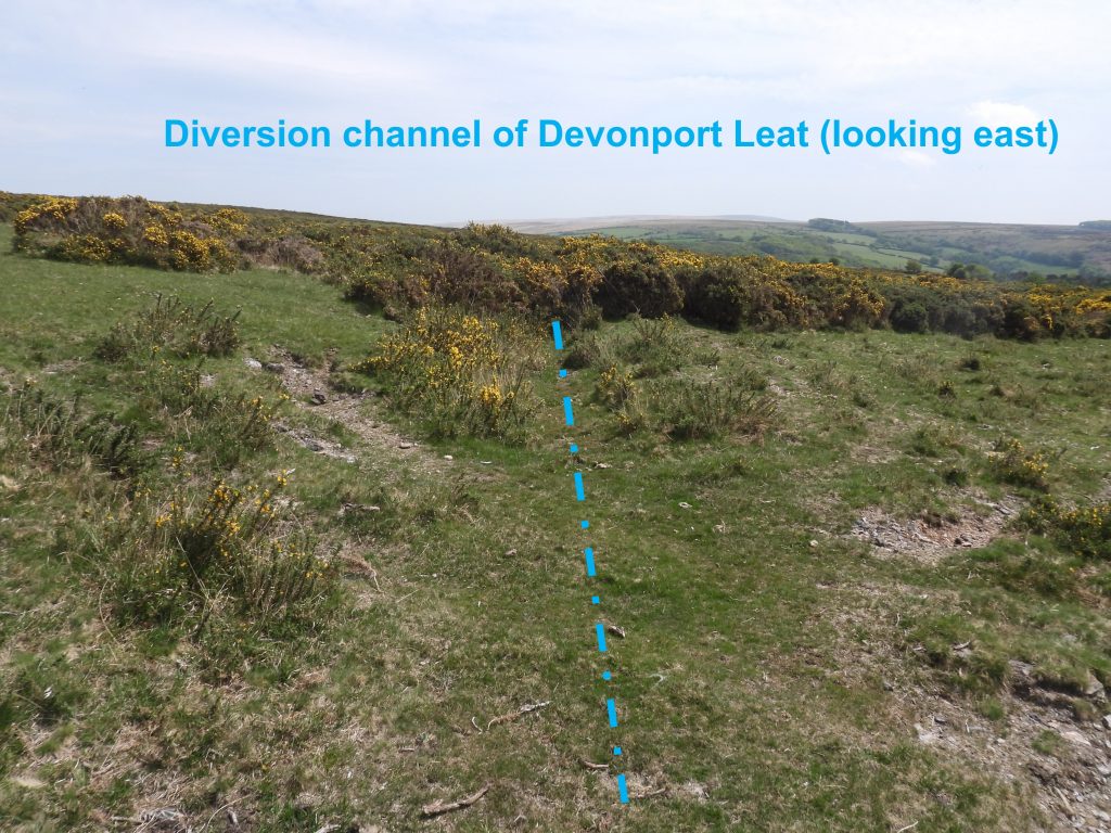
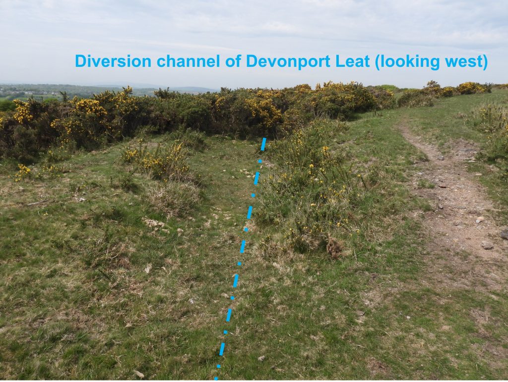
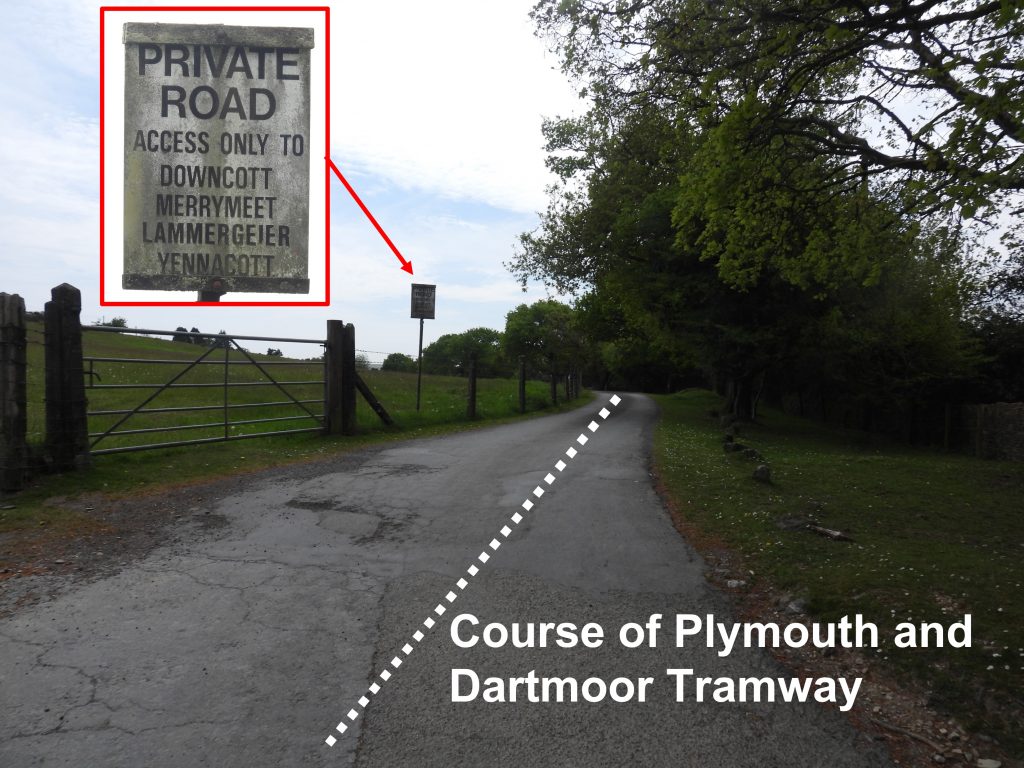
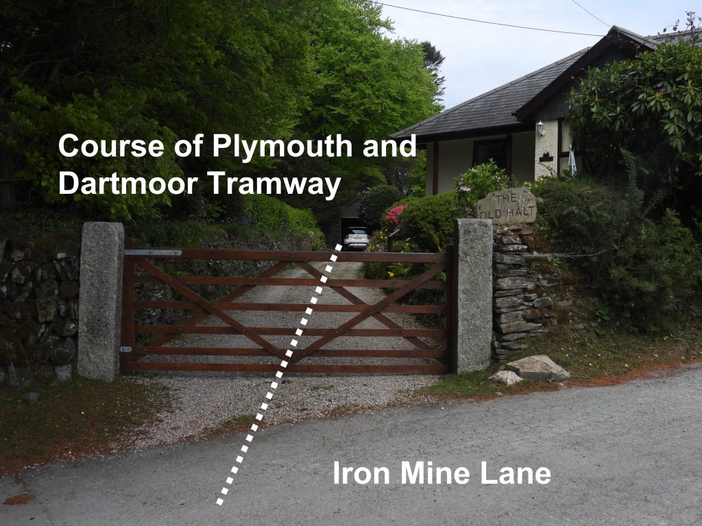
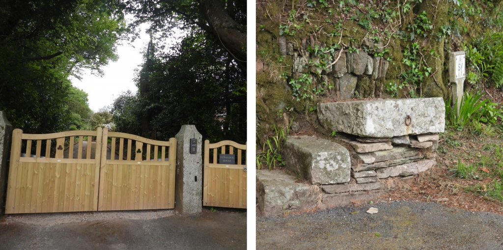
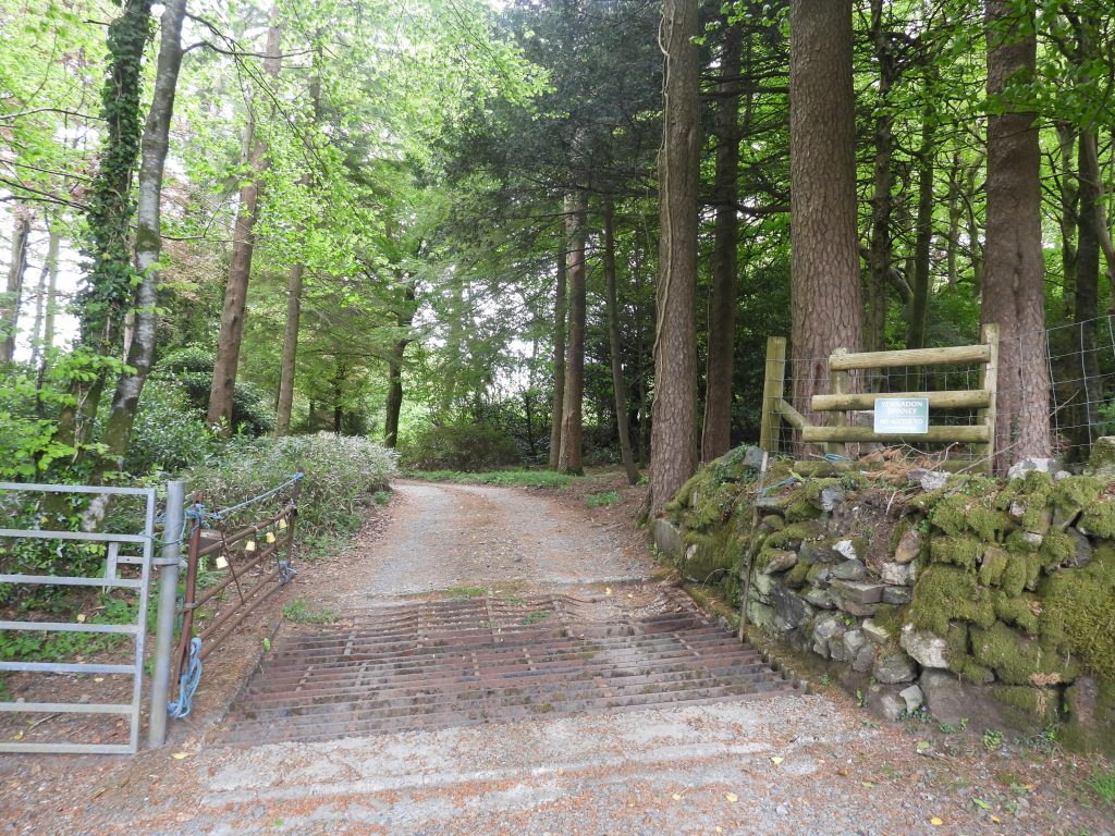
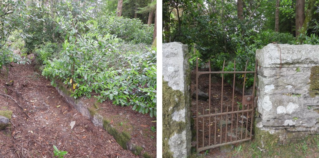
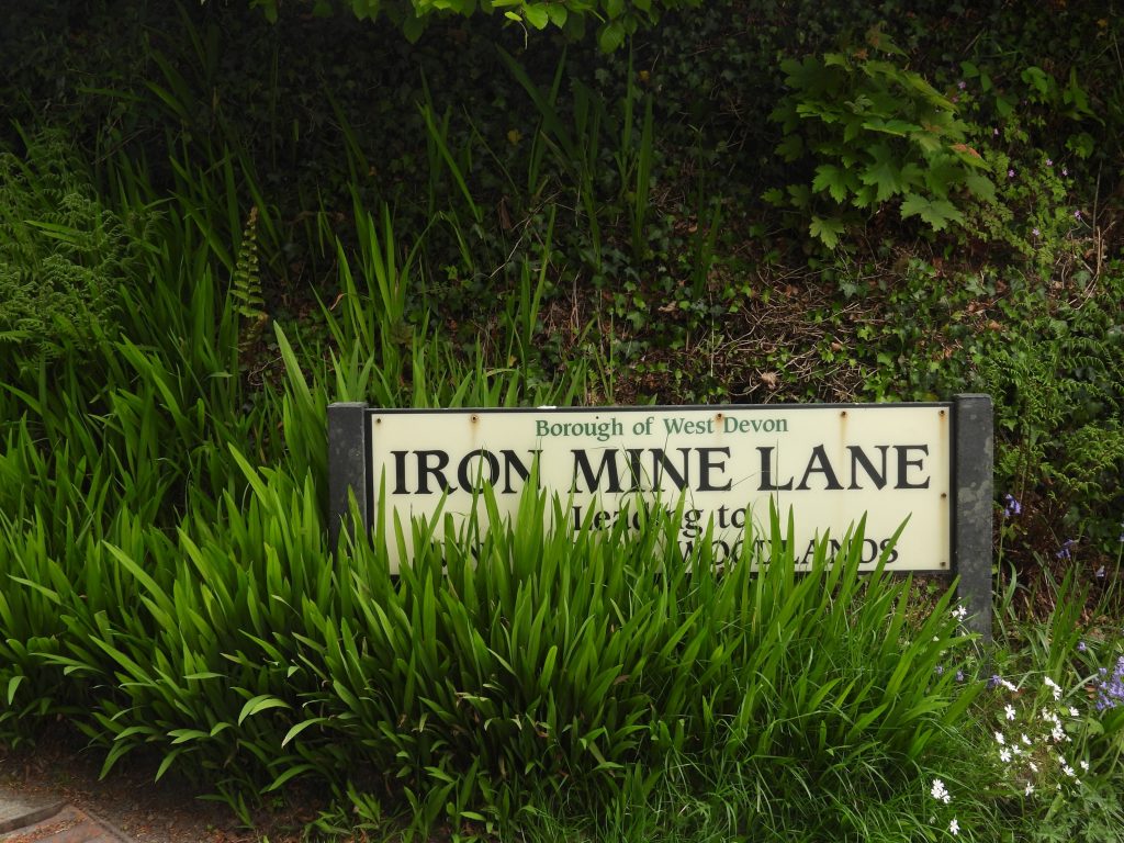
This map shows the features covered in this post. The route taken is east to west across the down, showing some of the (possibly) less well known features.View from near the summit of Yennadon Down looking north east towards Peek Hill, Leather Tor and Sharpitor. View from near the summit of Yennadon Down looking east towards Sheepstor. Just to the east of the summit of Yennadon Down a rock inscribed “ANDY” can be found. The author suspects it is 21st century origin and has no great historical significance. The rock featured within an article in the Dartmoor Magazine, Issue 125, (Winter 2016) on page 41 by Mark Fenlon and Tim Jenkinson. The rock can be found at SX54931 68554.In 1893, the Plymouth Corporation Water Act was approved, which effectively gave them the right to “impound the water of the River Meavy and its tributaries”. Subsequently the reservoir at Burrator was constructed and was completed in 1898 effectively replacing Drake’s Leat (the previous source of water dated from 1591), which had become inadequate. The reservoir watershed, however, was owned by others, in the main Sir Henry Lopes of Maristow. The area of the watershed was 5300 acres. The selling of the watershed lands to the Plymouth City Water Works (PCWW) in 1916, 1919 and 1932 led to the erection of around 70 granite boundary markers. This PCWW pillar was erected in 1917 and can be found at SX54697 68594This short rough-hewn plain pillar marks the eastern limit of the sett of Yennadon (meavy) Iron Mine. The original deeds of the mine included a map (circa 1838) of the mine sett which showed 13 boundstones in two parallel lines running west-east across the down. (Ref: Dartmoor HER). It is thought that this is the only remaining boundstone. That said, the down is very overgrown in gorse and there still could other boundstones waiting to be (re)found.This Iron Mine sett boundstone can be found at SX54899 68355.This PCWW pillar was erected in 1917 and can be found at SX54729 68182This PCWW pillar was erected in 1917 and can be found at SX54795 67859 alongside the (now dry) Devonport Leat.Crossing over the down in a westerly direction from the Iron Mine sett boundstone, the author attempted to locate (unsuccessfully) other boundstones. The gorse, is very thick and exploration is difficult. The remains of the Iron Mine, as shown in the pictures, comprises of shallow openworks, which now have many large mature trees.Very little is recorded on Yennadon (or Meavy) Iron Mine. The author found in the Dartmoor HER that the mine sett was leased in 1836 to George Stone Baron with permission to search for iron and other ores.More views of the Iron Mine shallow openworks from the western end, near to the track leading to Yennadon Quarry.One of several Overgrown dumps / spoil from the Iron Mine.Yennadon Quarry (zoomed in view) is shown on 19th century maps adjacent to the Plymouth and Dartmoor Tramway. An extension to its operation was approved in October 2017 to allow operations up to 3.2 hectares. The site is on land owned by the Walkhampton Trust and administered by Lord Roborough’s Maristow Estate and is leased to Yennadon Stone Ltd.Near to the top of tarmac portion of Iron Mine on the open down are the remains of Yennadon Down WWII anti-aircraft battery site. It was clearly a temporary battery and looks like it was possibly wooden structures on concrete plinths. A record in the Dartmoor HER (F.H. Woodwad) speculates that the battery was used to either to help protect Yelverton airfield (RAF Harrowbeer) or for firing at planes approaching or leaving Plymouth which were using the darker edge of the moor as a guide.This plinth was recorded at SX54200 68241. The site appears to lack gun emplacements which that the guns were mobile or located elsewhere and this was just a base.Close inspection of the WWII anti-aircraft battery site reveals that most of it survives only as (now grassed) terraces. The left hand picture section of a granite plinth is at SX54201 68279.A short distance to the south of the WWII anti-aircraft battery site a small raised mound can be found at SX54231 68176. It is believed by the author that this is the searchlight site mentioned in the Dartmoor HER. These sites as described in the HER “typically comprised a small ring-ditch to provide the crew with shelter during an air raid, a predictor emplacement for calculating the height and range of targets, a light anti-aircraft machine gun pit, a generator and hutted accommodation for the crew”.To the south east of the WWII anti-aircraft battery and searchlight sites a shallow ditch can be found amongst the gorse, which represents the disused diversion channel of Devonport Leat. The clear section shown in the photograph was recorded at SX54363 68087.The diversion channel for Devonport Leat is recorded as dating from early 19th century. It was dug to bypass the Iron Mine. The south east end junction of this diversion channel with the main Devonport Leat channel is next to the “PCWW 1917” (recorded earlier in this post) at SX54795 67859. The north west end of the channel is close to the “WWII searchlight” .Section of the Devonport Leat diversion channel deep in the Yennadon Down gorse. The author has little information regarding this diversion channel and would welcome any other information.Another section of the Devonport Leat diversion channel deep in the Yennadon Down gorse.The Plymouth and Dartmoor tramway was originally planned by Sir Thomas Tyrwhitt in the early 19th century. The line was intended to bring up lime and sea-sand for the improvement of the (Dartmoor) land, alongside timber and coal. The tramway was used then to transport granite, peat and mining products in the opposite direction. The line opened on 26 September 1823. Today, the original line is buried under the private tarmac road to four properties at the top of Iron Mine Lane.The course of the old Plymouth and Dartmoor Tramway crosses Iron Mine Lane and through the gates of the property known as “The Old Halt”. The tramway wasn’t a great success as little was carried on it other than granite. By 1840 its use had dwindled considerably. Consequentially, the section of the tramway above Yelverton was sold and was reconstructed to standard gauge and reopened as the Princetown Railway, which opened on 11th August 1883. The course of the tramway compared with the railway is interesting in this area, insofar as the tramway had a sharp (180 deg) turn in its course (possible due to it being horse drawn) on the west side of the down, whereas the railway contoured around the down to the east. The author was drawn to an artefact outside the entrance to Yennadon House, in the shape of a three stepped horse mount with iron tethering ring. It is probably 19th century in origin. Gateway into the Yennadon House estate.Also of interest in Iron Mine Lane is small iron gate behind which the old course of Devonport Leat can be found. At this point it is still granite lined.The end of this post. The Iron Mine Lane signpost at the junction with the Meavy road.
I live in Woodlands – off Iron Mine Lane all of the features highlighted are familiar. A circuit of Yennadon in varied permutations of it’s routes forms my before breakfast morning walks. I have long been fascinated by the industrial and mining heritage of the moor and the extraordinary ingenuity and human endeavour it represents. If there is any way in which I can contribute to the exploration I will be pleased to respond.
I am also researching for a visit by the U3A Tavistock so any more information would be welcome
Thank you for these comments. I would love to know if there are more than just the one standing stone across Yennadon Down, but fear if there is it or they might be buried amongst the gorse.

Frank Palmer August 26, 2024
I live in Woodlands – off Iron Mine Lane all of the features highlighted are familiar. A circuit of Yennadon in varied permutations of it’s routes forms my before breakfast morning walks. I have long been fascinated by the industrial and mining heritage of the moor and the extraordinary ingenuity and human endeavour it represents. If there is any way in which I can contribute to the exploration I will be pleased to respond.
I am also researching for a visit by the U3A Tavistock so any more information would be welcome
SteveGriggDartmoor September 7, 2024 — Post author
Dear Frank,
Thank you for these comments. I would love to know if there are more than just the one standing stone across Yennadon Down, but fear if there is it or they might be buried amongst the gorse.
Kind Regards,
Dartmoor Explorations
Frank Palmer August 26, 2024
No further comment