Dartmoor Explorations

A collection of walks, discoveries, insights and pictures of exploring Dartmoor National Park

Shipley Bridge between the “C” (County) Stones

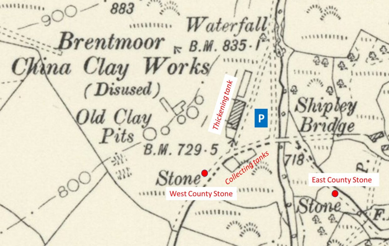
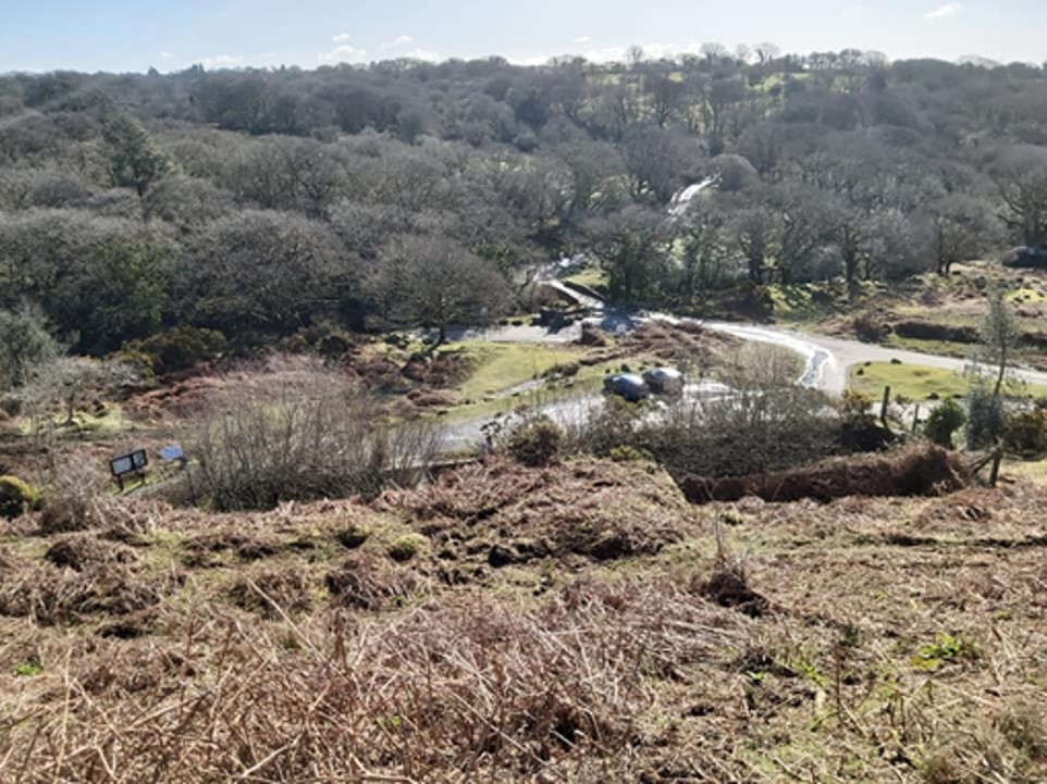
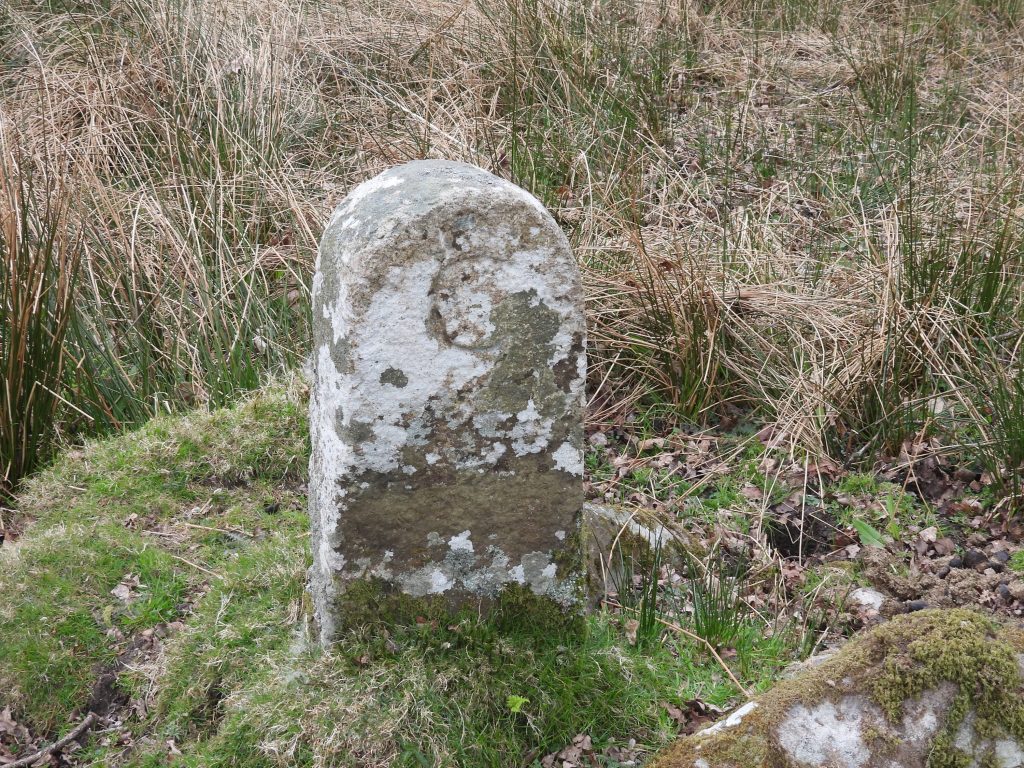
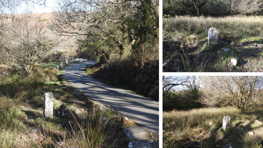
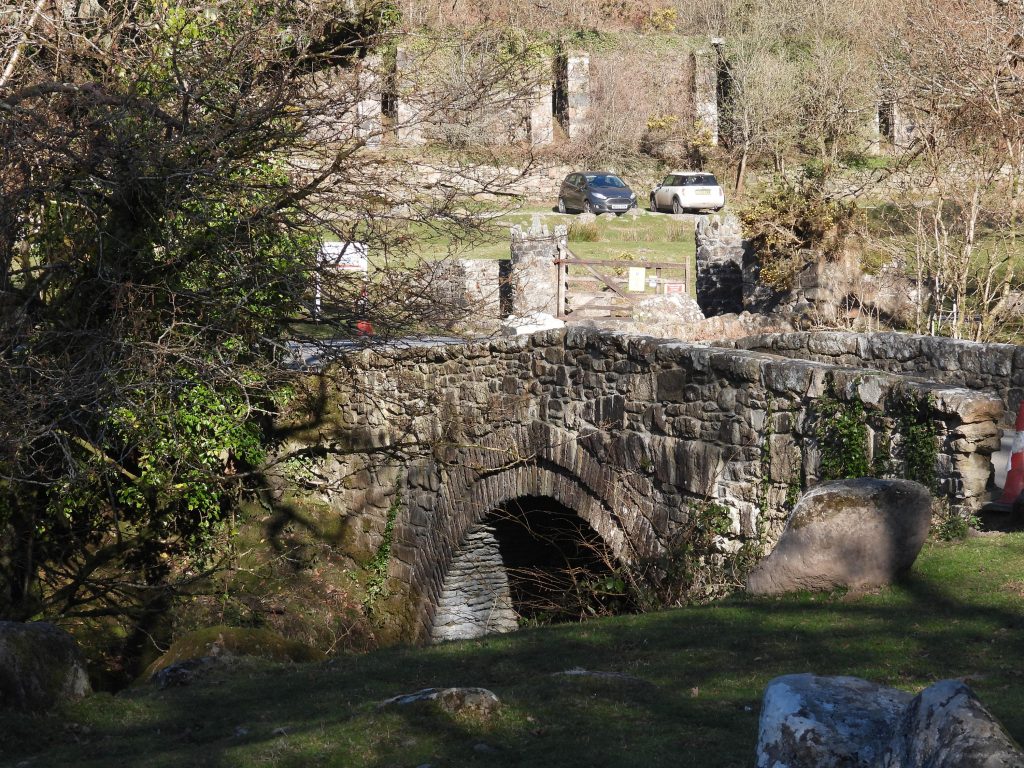
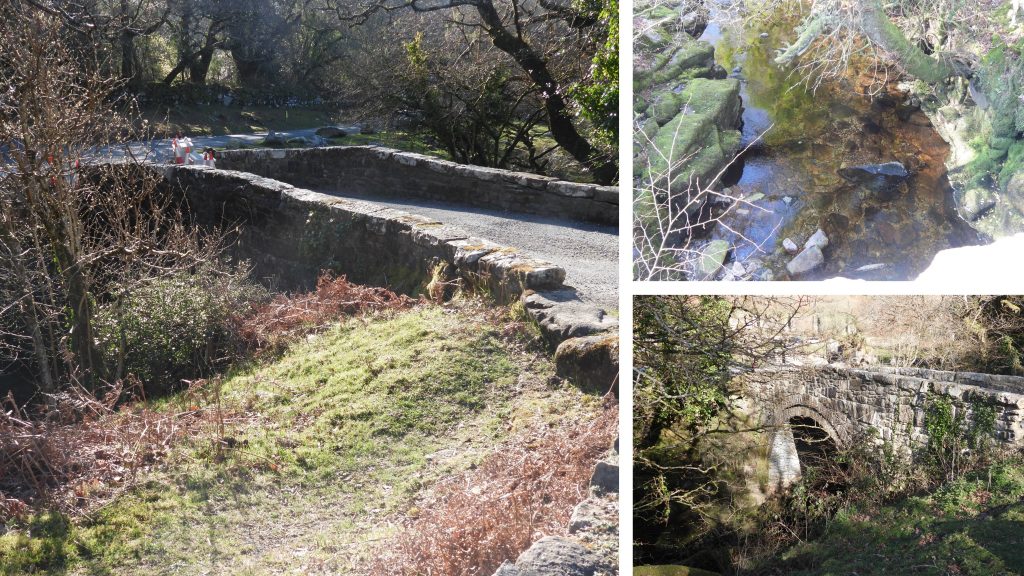
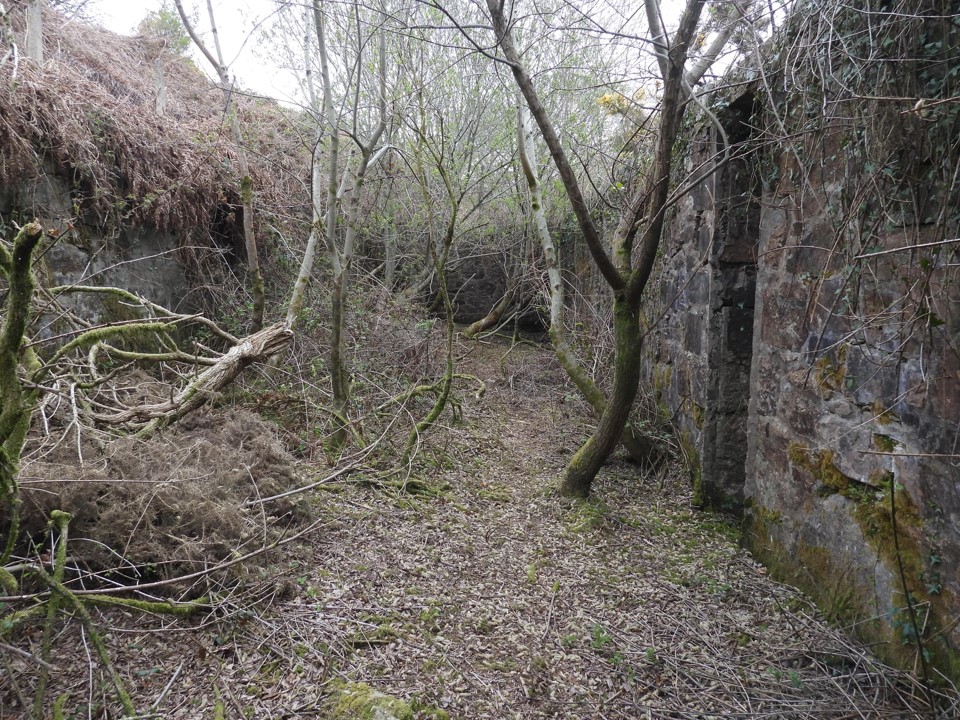
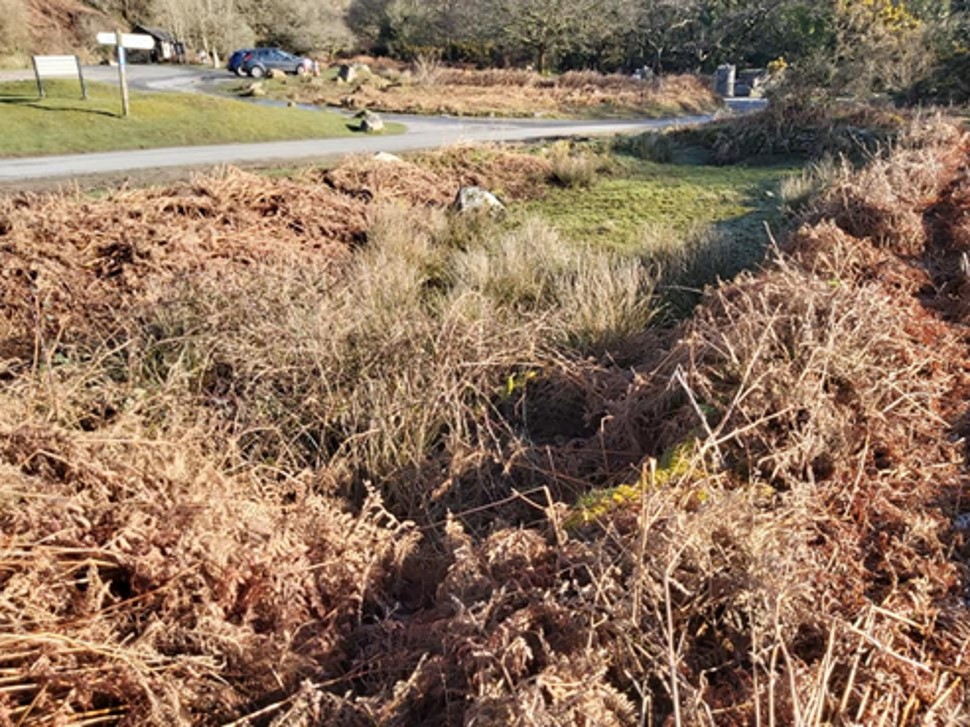
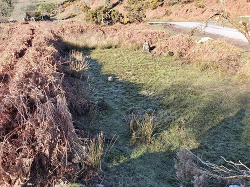
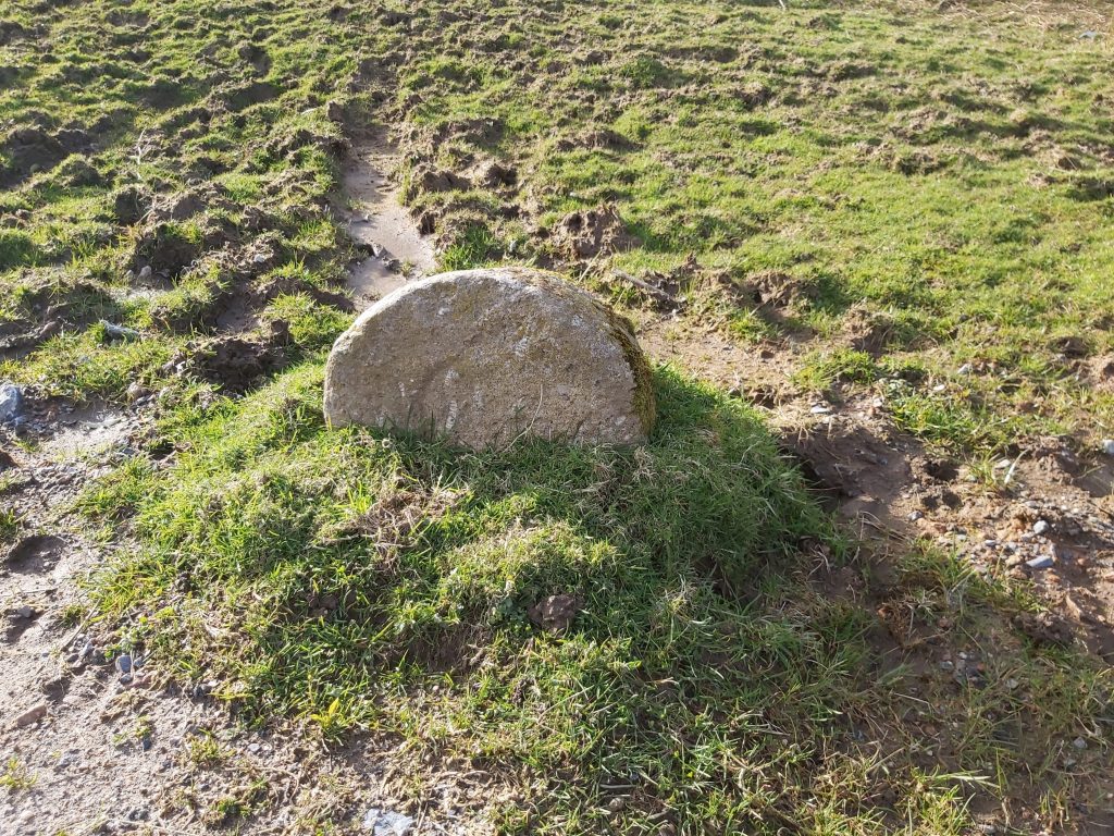
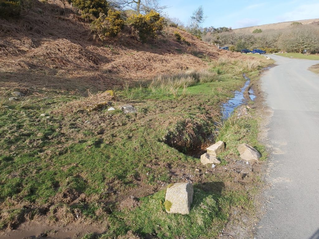
Bridges constructed by the county, or taken over by them and sited within the county of Devon would have had a set of two “C” stones erected on either side of the bridge. This post covers some notable features between the two “C” stones at Shipley Bridge.

Map
Map of the features covered in this post. More information on the clay workings here can be found at: https://dartmoorexplorations.co.uk/brentmoor-china-clay-works-exploration/
General View
View of the car park at Shipley Bridge from above the Thickening Tank / Naptha Distilling Works
C West
The “C” (for County Stone) on the East side of Shipley Bridge at SX68163 62811
C West b
More views of the east “C” stone. This county bridge stone is 100 yards from the bridge and the dimensions are recorded as being 72cm x 32cm x 20cm with the height of the ‘c’ 13cm (Source: Dartmoor HER).
Bridge a
Shipley Bridge with the Thickening Tanks in background across the modern car park. The bridge is first mentioned in a lease of 1631 in the Petre documents in the county record office but, of course, the present bridge is not the original.
Bridge b
The bridge is probably 18th century and was widened in 19th century. It is constructed of granite rubble and is described as being a “single span round arch with dressed granite recessed arch ring with parapets with large roughly squared granite coping stones”. (Dartmoor HER).
Thick 1
The “thickening tank” where clay, after initial settling out the water (in the circular tanks on the hillside above) was quite a viscous, semi-solid substance and was piped into the thickening tank where even more water was extracted.
Thick 2
The car park was once the final drying pan for the clay. The slotted building is believed to have been adapted from earlier naphtha works. In the clay era it was the thickening tank.
Thick 3
The majority of the stone in the tank is metamorphic shale, which suggests it came from the immediate vicinity and most likely from the small quarry nearby.
Collecting Tank 1
A stone built structure of two “cells” were collecting tanks for remaining clay deposits before water returned to River Avon below. The car park very visible from here.
Collecting Tank 2
The second cell at SX68056 62855
C East a
The “C” (for County Stone) on the West side of Shipley Bridge, now sunken into the verge.
C East b
The “C” (for County Stone) on the West side of Shipley Bridge is located at SX 68006 62840. This County Bridge stone is 100 yards west of Shipley Bridge and is recorded as being 27 centimetres by 33 centimetres by 21 centimetres with the height of the ‘C’ being 13 centimetres.
C East c
View of the West “C” stone looking towards the car park.

Total Page Visits: 1028 - Today Page Visits: 2

Next Post

Previous Post

Leave a Reply

© 2024 Dartmoor Explorations

Theme by Anders Norén

Social media & sharing icons powered by UltimatelySocial