A collection of walks, discoveries, insights and pictures of exploring Dartmoor National Park
November 5, 2026
Rushford Manor Pound
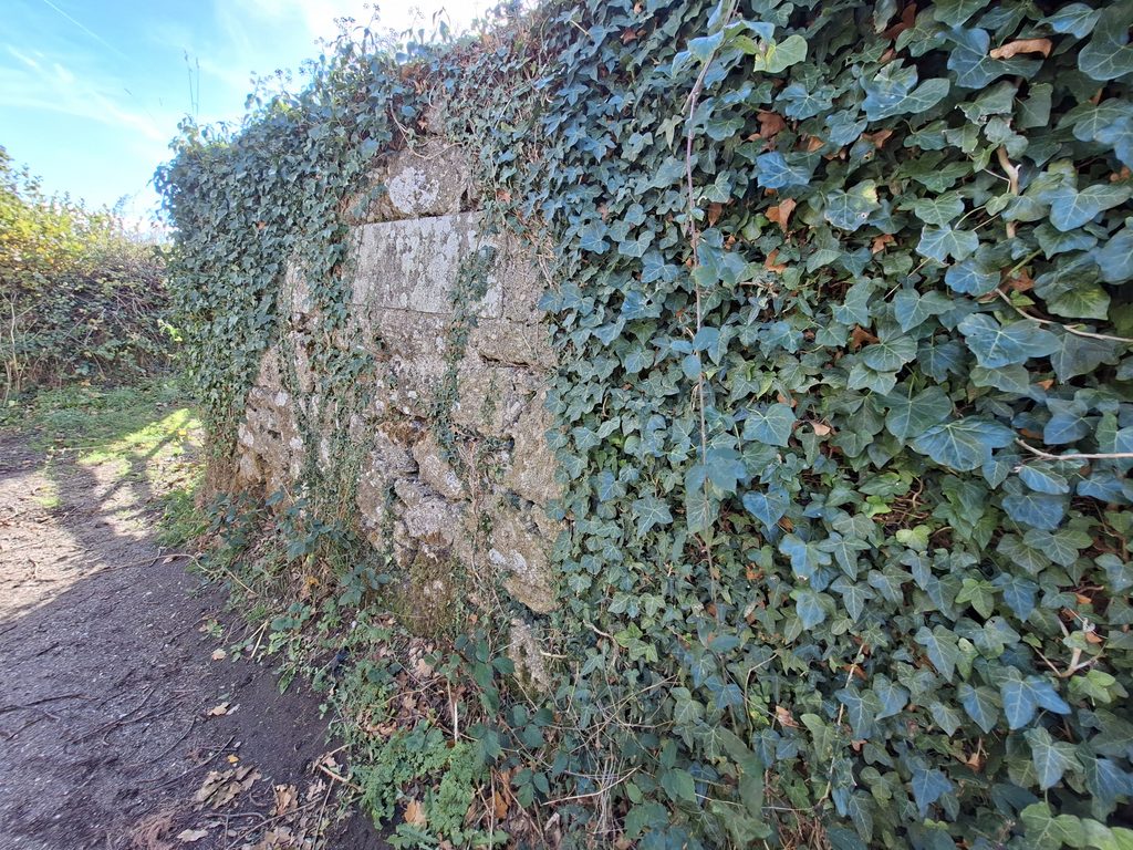
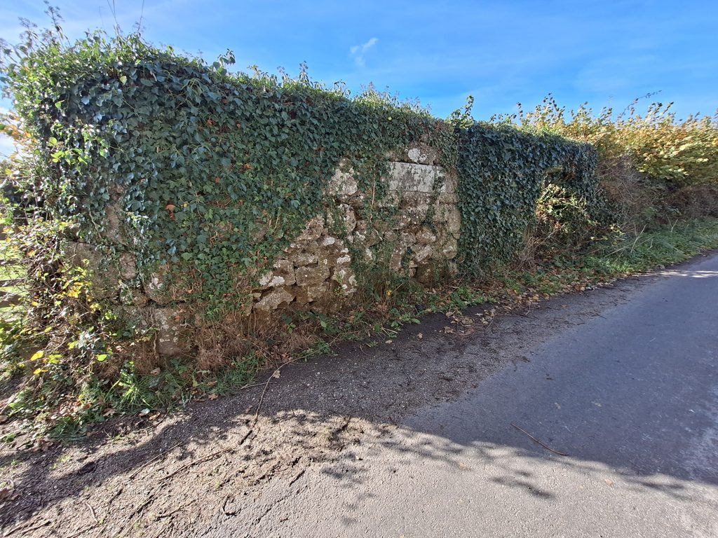
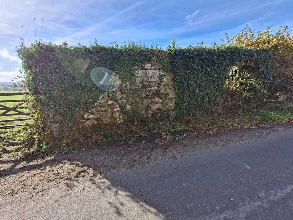
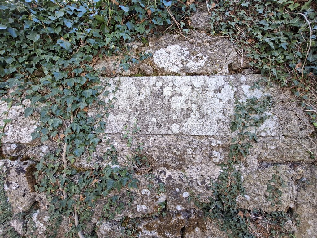
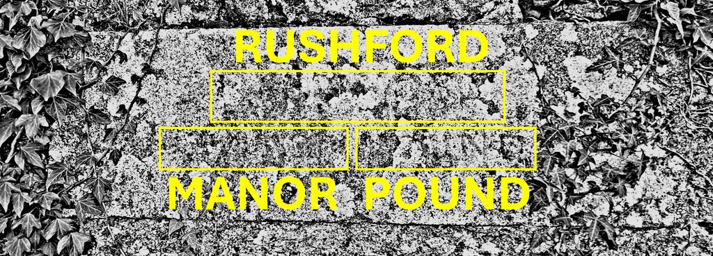
Rushford Manor Pound is a small rectangular granite structure beside a road in a narrow lane between Chagford and Whiddon Down. The structure has a stone inscribed ‘Rushford Manor Pound’ in modern lettering, which faces the road. Unlike the Manor Pound of Spitchwick (near Higher Lodge), the whole structure of Rushford Manor Pound looks relatively ‘modern’ and seems to date from the second half of the 19th century. This pound is possibly where stray animals were kept until their owners paid for their return such as at the Town Pound at Chagford.
An enigma relating to the Pound is that it is located in the neighbouring parish (Throwleigh) from the parish where the historic Rushford Manor (Barton) House was once located (Chagford). To add to the mystery, the three surrounding plots around the pound were owned and tenanted by three different sets of people, none of whom appear to have had any connection with Rushford Manor (Barton).
Willaim Crossing – (1912) – Guide to Dartmoor, page 275
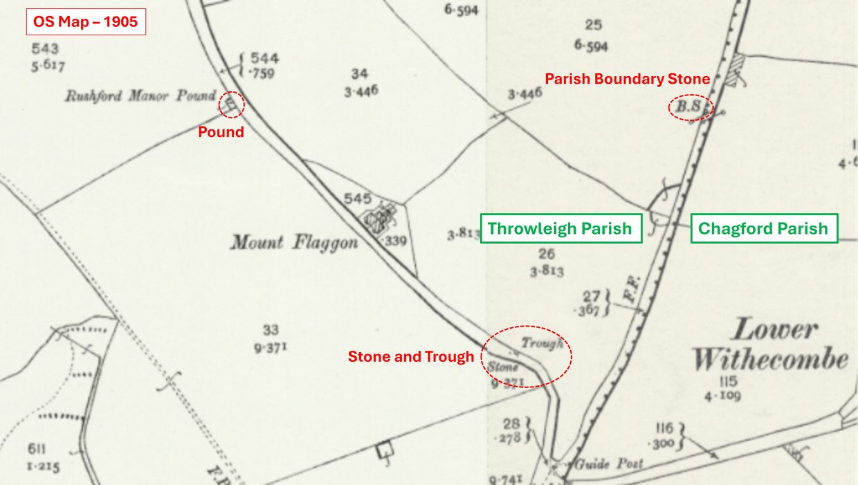
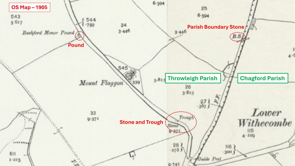
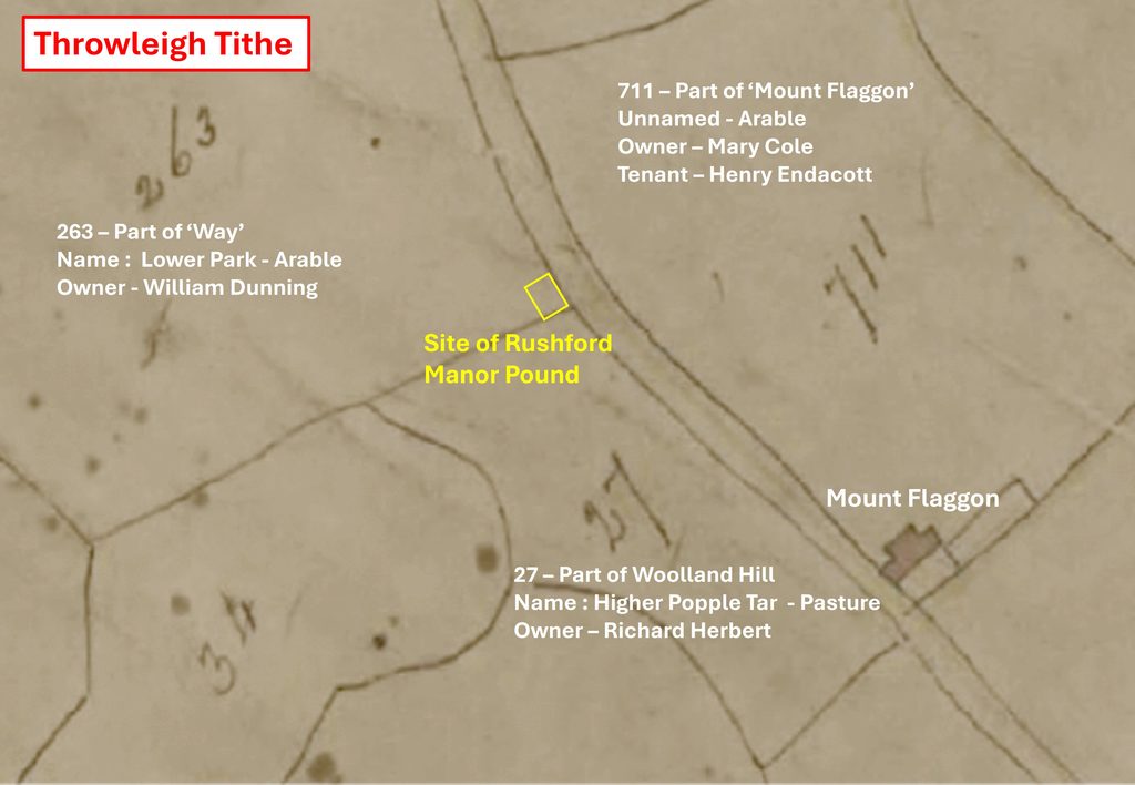
This annotated OS Map from 1905 shows the location of ‘Rushford Manor Pound’ in relation to Mount Flaggon and the boundary between the parishes of Throwleigh and Chagford. Of note in the area is a ‘Stone and Trough’ (the former being extant) and a ‘Parish Boundary Stone’. The pound was also marked on the 1886 OS map.Annotated Throwleigh Tithe Map (1840) shows three different owners of plots 27, 263 and 711 which border the location of where Rushford Manor Pound was subsequently located. This map appears to suggest the pound post-dates 1840. The pound appears on the 1886 OS map (surveyed 1885), therefore suggesting a date of construction between 1840 and 1885.
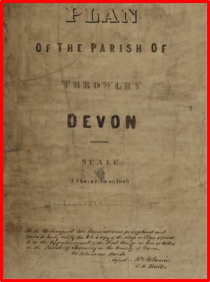
The Tithe Map was titled Throwley (not Throwleigh). The National Archives state that it (the map) had been copied by Charles Cooper in 1840 from a survey made by George Murphy and John Germon
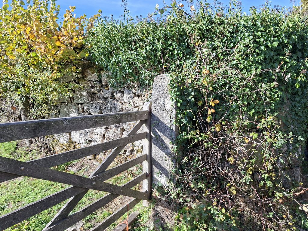
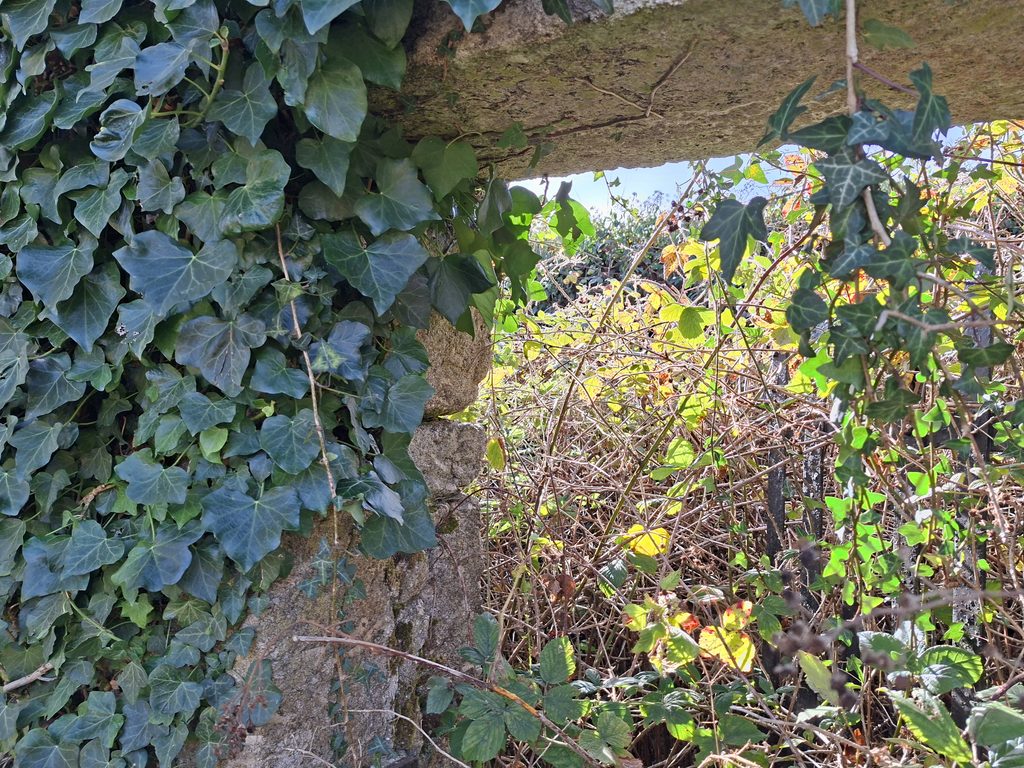
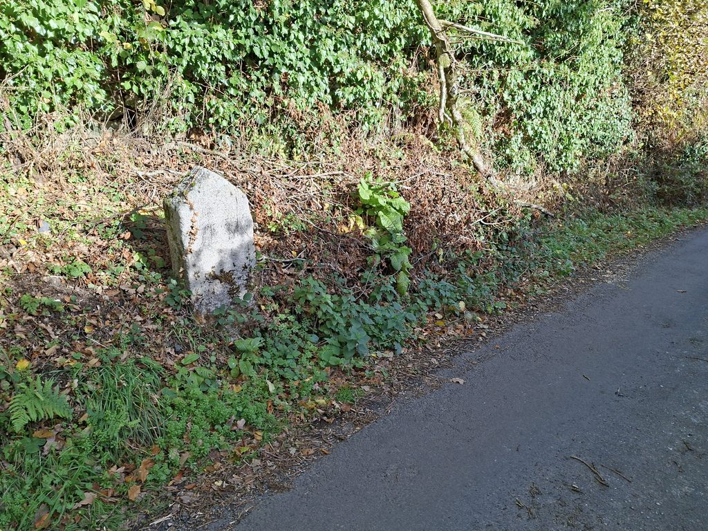
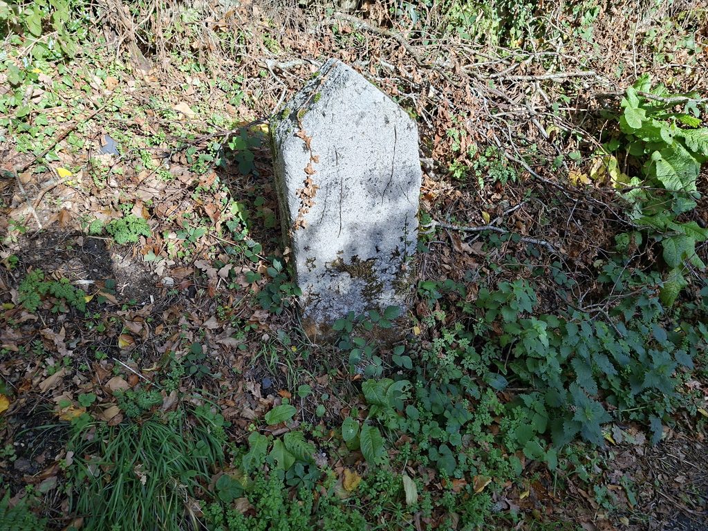
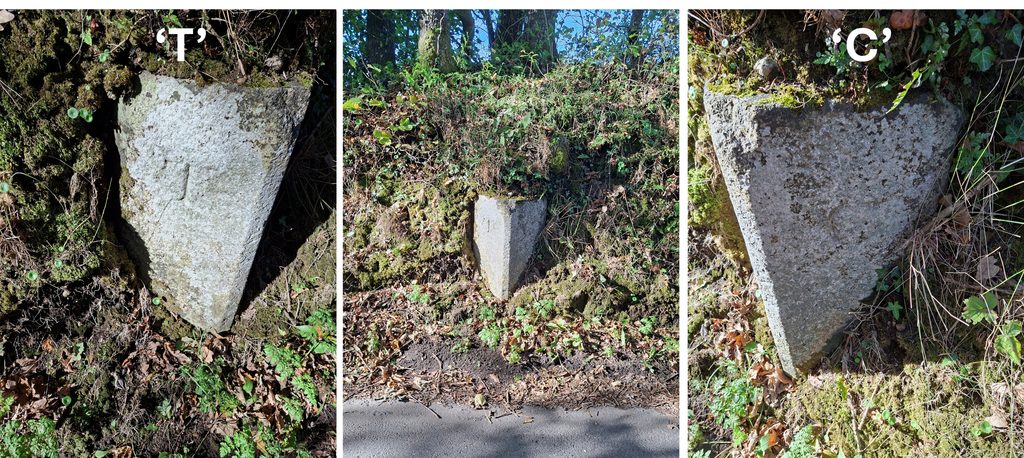
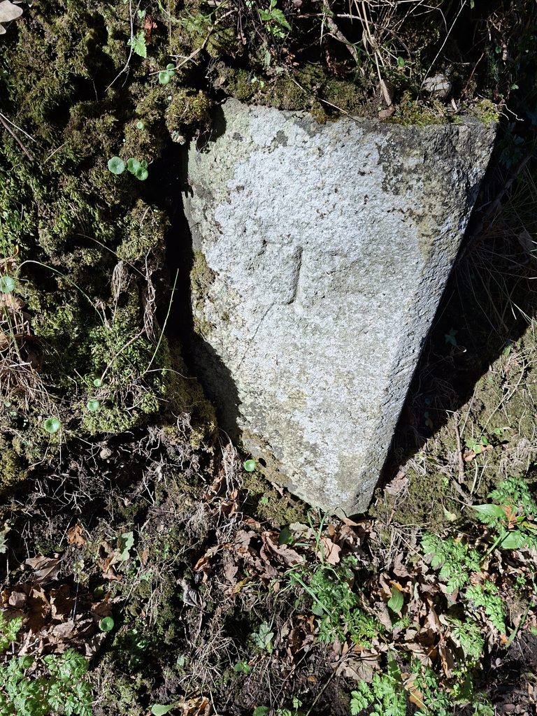
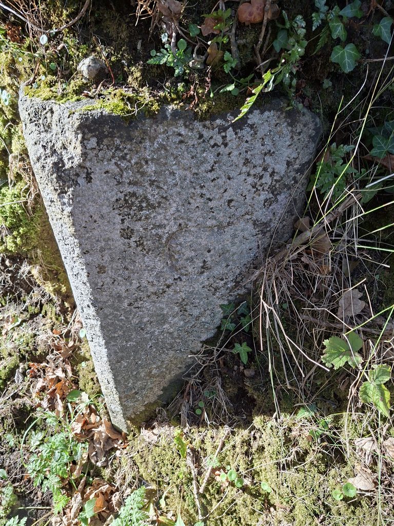
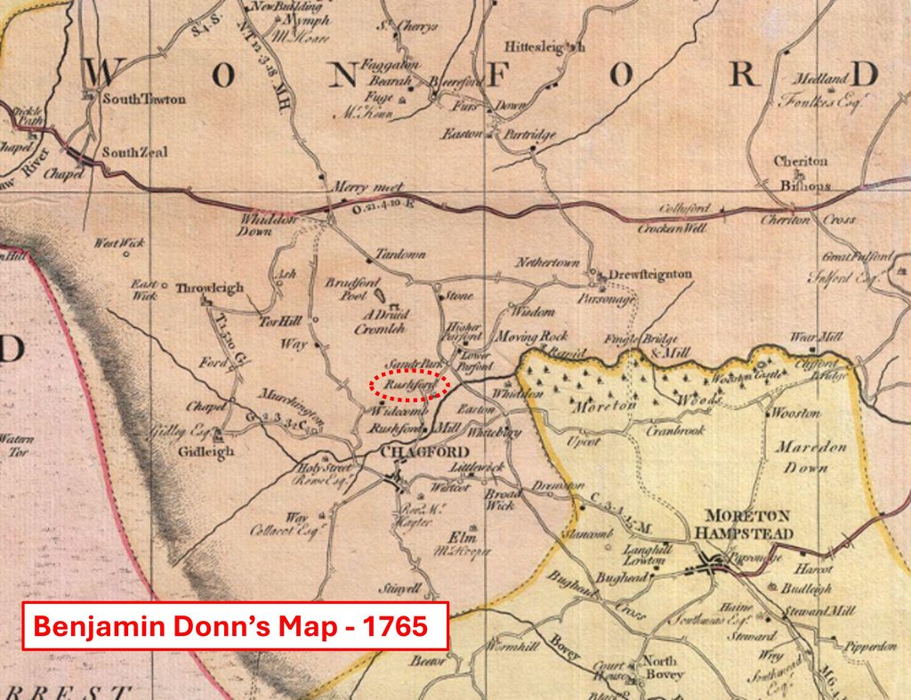
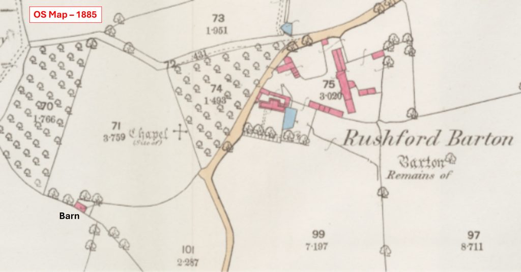
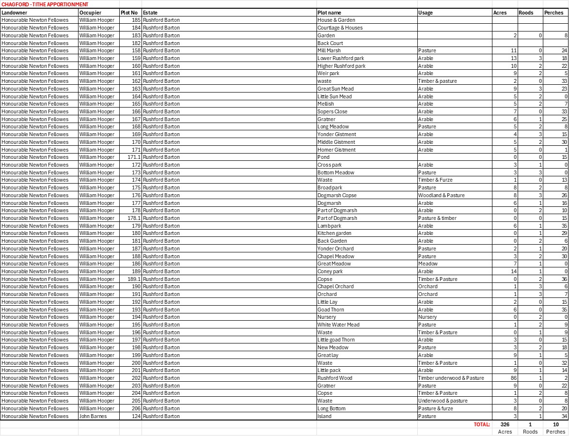
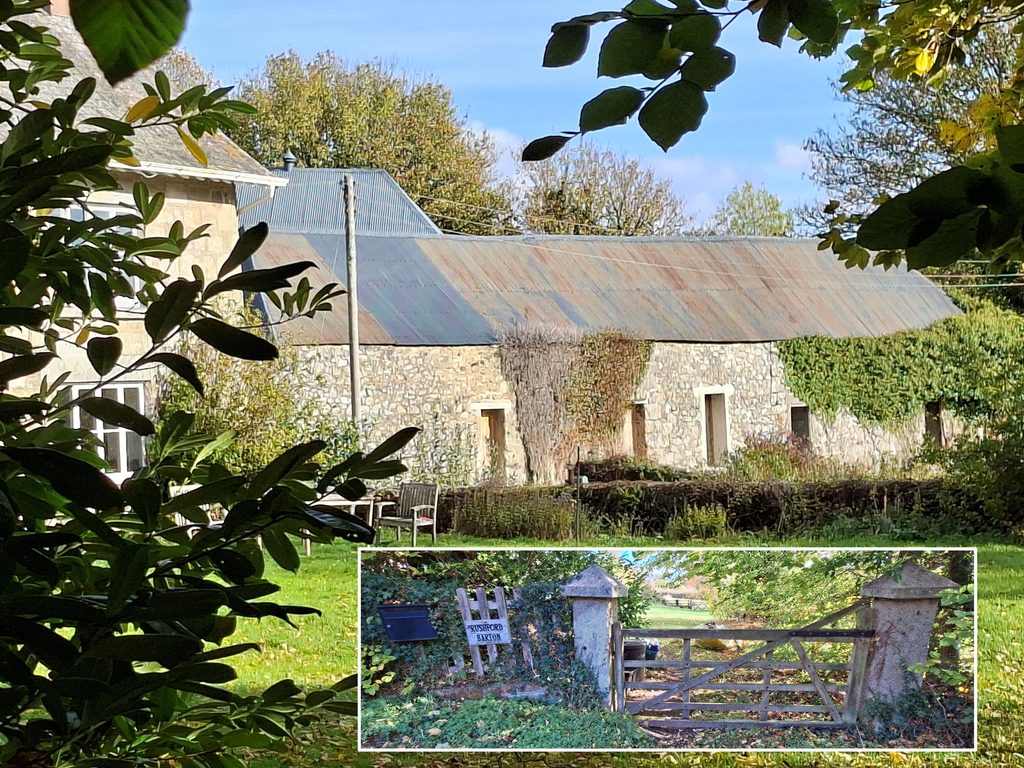
This gate leads into plot 27 (tithe) and is adjacent to ‘Rushford Manor Pound’ (walling shown in the photograph)Ivy covered pound walling facing the road. The shadow from the gate shown in the previous photograph can be seen on the left side of the composition. The pound is located at SX6928 8901William Crossing’s description in his ‘Guide to Dartmoor’ (page 275) is very short: “Near Mount Flaggon, on the road to Torhill and Goosaford, is Rushford Manor Pound, modern.”To the north end of the pound (right of photograph) the former entrance to the pound can be seenThe structure has a stone inscribed ‘Rushford Manor Pound’ in modern letteringPicture enhancement to show the inscription. All letters are capitalisedThe overgrown entrance to the poundTo the south of Mount Flaggon shown on the 1905 OS Map is a ‘Stone and Trough’. The Stone appears extant and the Trough may be there in the hedgelineThe uninscribed stone is located at SX69448 88875On the road to Monks Withecombe (which follows the Throwleigh / Chagford parish boundary) is this Boundary Stone. It is inscribed ‘T’ (Throwleigh) and ‘C’ (Chagford). It is located at SX69566 89003The ‘T’ inscriptionThe ‘C’ inscriptionOne of the earliest maps which shows Rushford is on Benjamin Donn’s Map from 1765. It was part of the ‘Wonford Hundred’. It is thought that Rushford was recorded in the Domesday survey (1086). It was held by Edwy from Baldwin the sheriff. The manor was assessed at 1 hide* with 5 ploughlands with 4 ploughs in use, with 5 acres of meadow and woodland (4 acres). The recorded population was 14 households, suggesting a community of roughly 56 people. *Hide was a land measurement originally intended to represent the amount of land sufficient to support a household. It was a measure of value and tax assessmentRushford Barton as shown on OS Map 1886 (surveyed 1885). By this date the ‘Barton’ didn’t exist. In old English law, a Barton referred to the working farmland and associated outbuildings of a manor, which the lord retained for his own cultivation rather than granting to tenants. The word “Barton” comes from Old English bere (“barley”) and tūn (“place”), literally meaning a barley farm or enclosed farmstead. Rushford Barton to the pound is 1.5km (straight line) but there is no direct road, lane or path.Rushford Barton Tithe Apportionment shows the estate was over 326 acres. One wonders why any pound wasn’t built in this area?The medieval barton at Rushford was the seat of the Hoare family from the time of Richard II (Crossing) – 14th century. Rushford Barton north east entranceThe Rushford Barton house was gutted by fire circa 1913 and the present interior structure is modern.Recorded in the Exeter & Plymouth Gazette, August 20th 1869 : “On Saturday morning , about four o’clock, a fire broke out at Rushford Barton. It was first seen by Mr. Nichols of Sandy Park, who at the same time saw a man lurking about the spot. The engine of the Royal Insurance Company played upon the flames. Two hay ricks and a corn rick were burnt, and the thatch of an outhouse had to be torn off. The fire broke out a second time, after the engine had left, and had to be sent back.” Is this building to the north west of Rushford Barton the aforementioned fire damaged outhouse