A collection of walks, discoveries, insights and pictures of exploring Dartmoor National Park
November 20, 2025
Littaford Cottage and environs
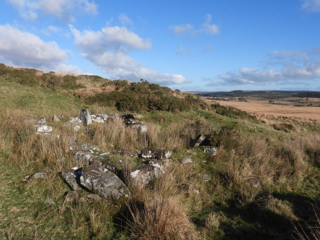
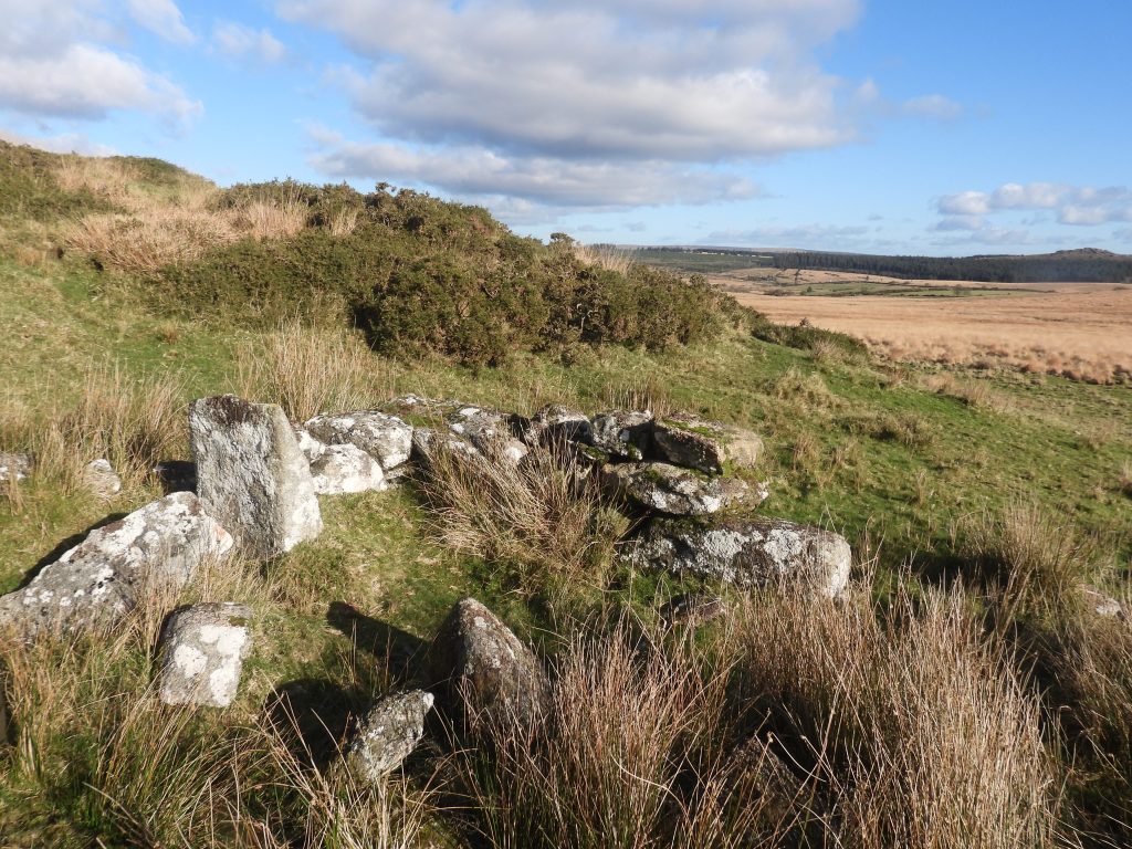
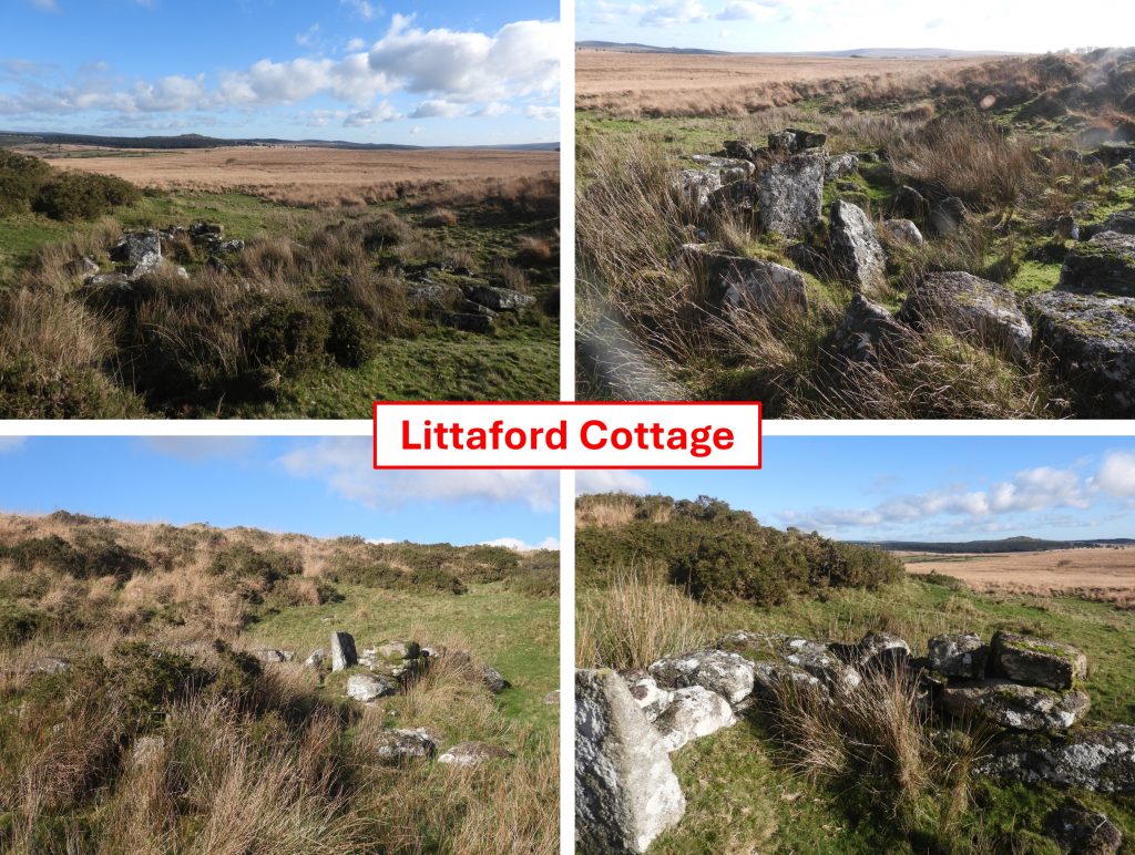
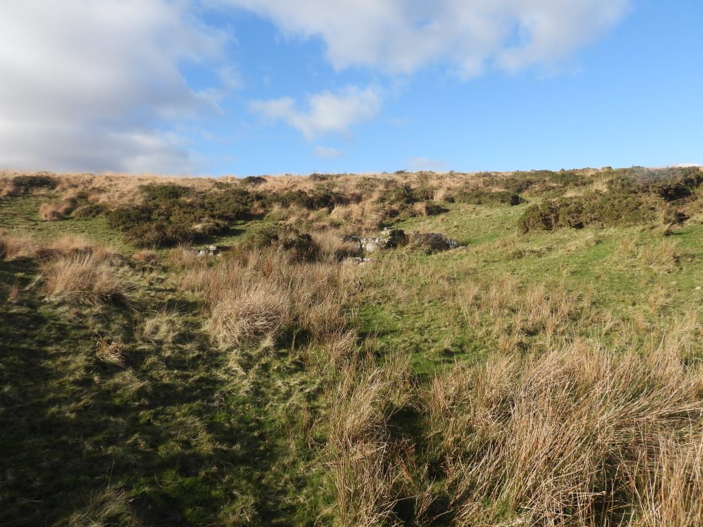
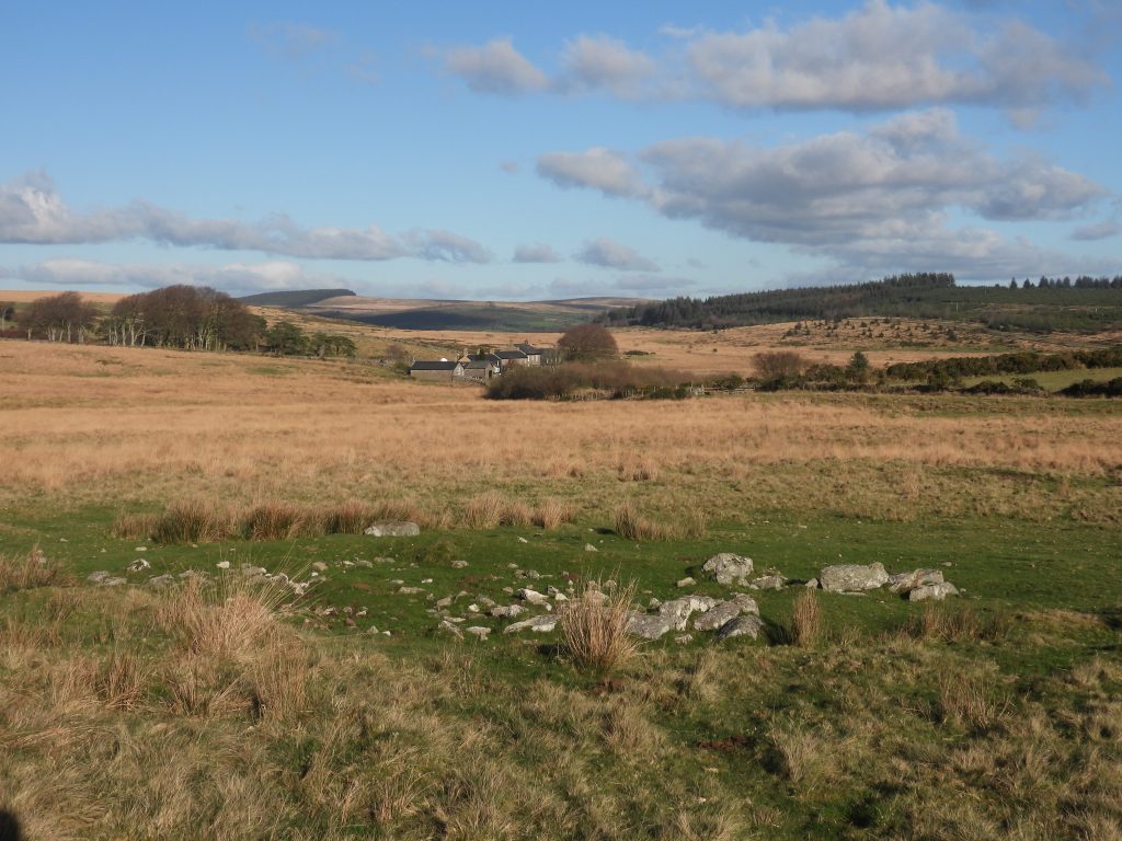
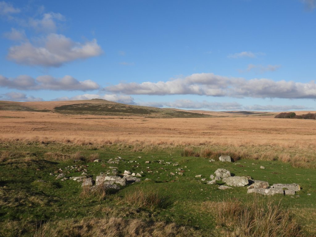
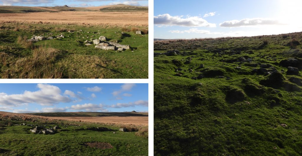
Just 400m to the south east of Littaford Tors there is a small natural hollow, where there is the ruin of perhaps a lesser known Dartmoor small holding. The ruin was named (by Haynes) in the 1960s as ‘Littaford Cott’, then interpreted (by Robinson) in 1982 as being a possibly one of the series of starch factories established by Sir Thomas Tyrwhitt in the 19th century. In 1989, the Royal Commission for Historical Monuments of England (RCHME) suggest the ruin may have been a Shepherd’s Hut of late 18th / early 19th century.
As the ruined building was well constructed, possibly having a fireplace and appearing to have a small enclosure encircling it, the author has decided to categorise it here under the label of ‘lost small holdings’, albeit its exact former use is unknown.
Being so close to Littaford Tors, a visit to the ruin and its tranquil setting is well worth the effort. Further east and south east there are other features which the author suggests are also worth visiting having links to the Powder Mills gunpowder factory and (possibly) the ancient Lych Path track.
R. Robinson – (1982) – Building, 206-207 of 476 [sketch plan included] (Worksheet). SDV219178.
Eric Hemery – (1986) – Walking Dartmoor’s Ancient Tracks, page 225
Royal Commission for the Historical Monuments of England – (1987-1993) – Duchy Farms Project Survey Visit, P. Pattison (Report – Survey). SDV350839
T. Dawson & J. Hambley – (1995) – A Survey of the Service and Accommodation Buildings belonging to the Powdermills Gunpowder Factory
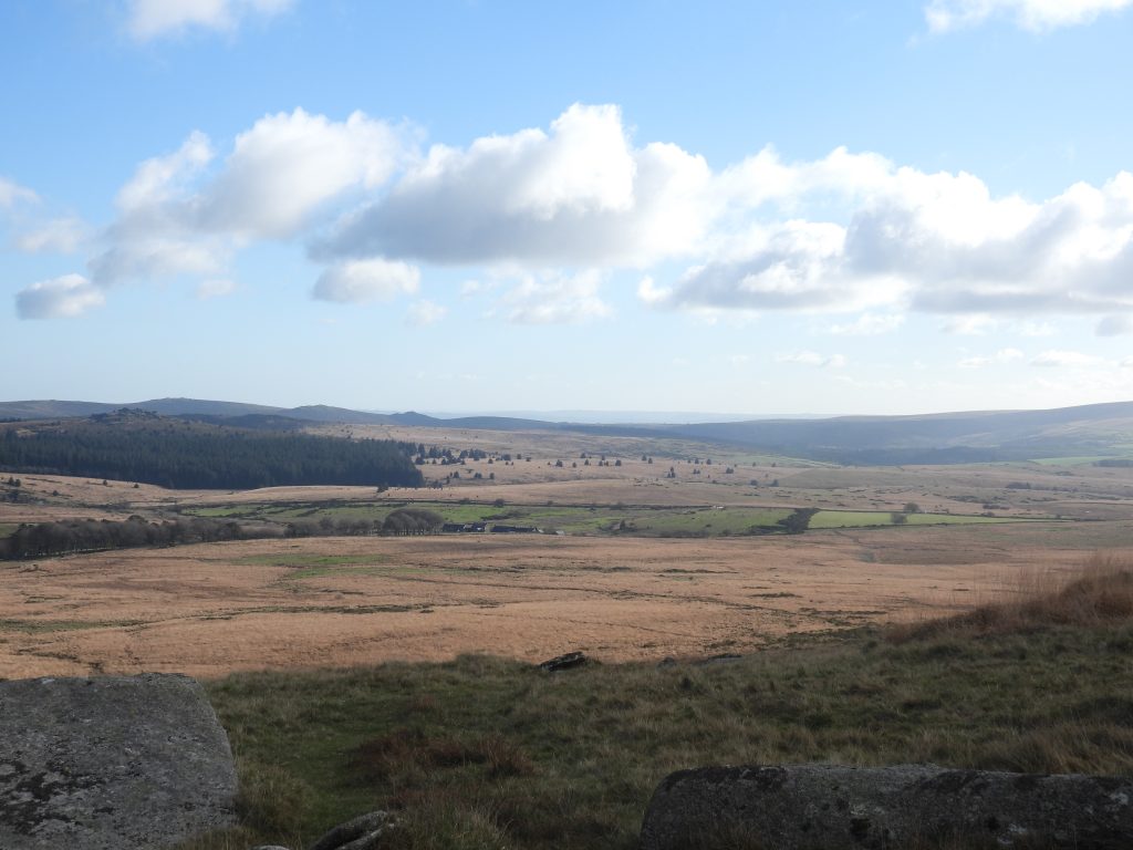
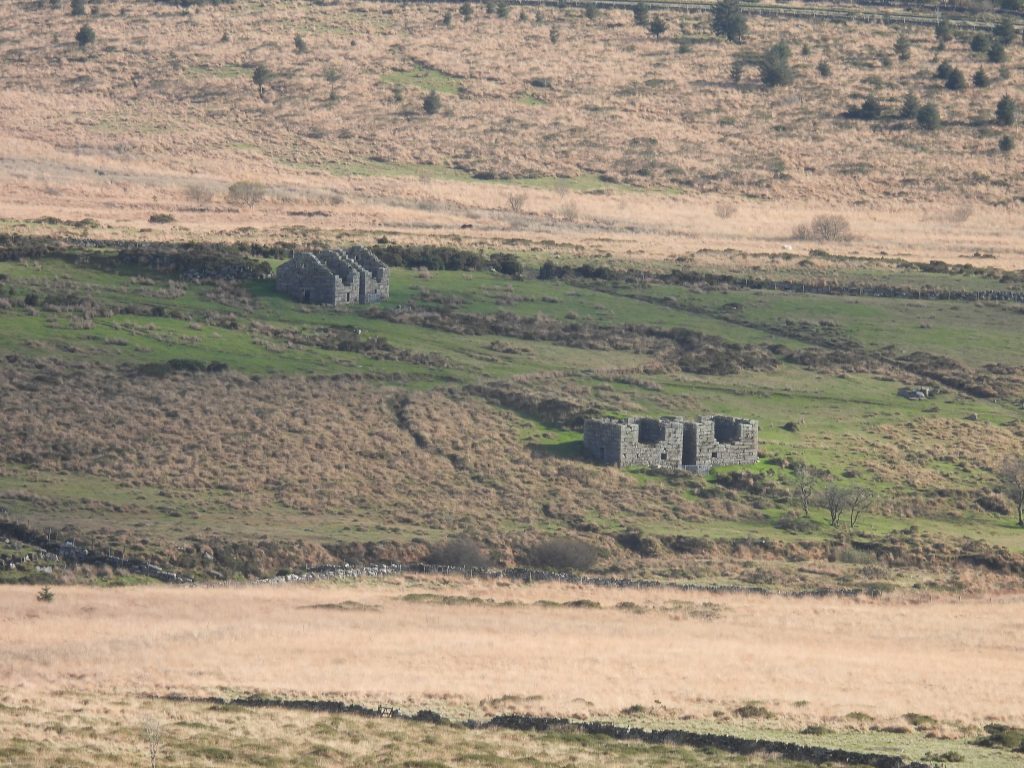
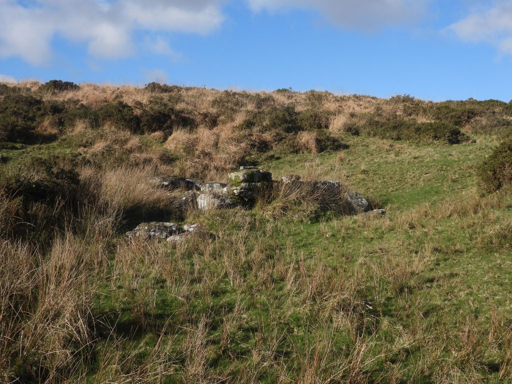
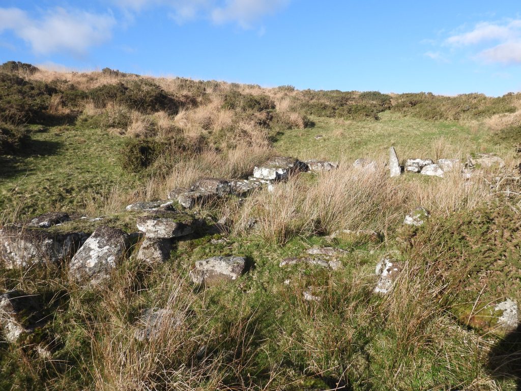
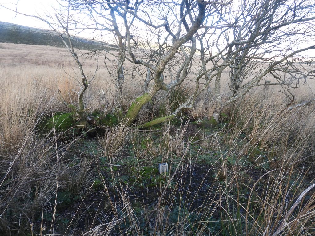
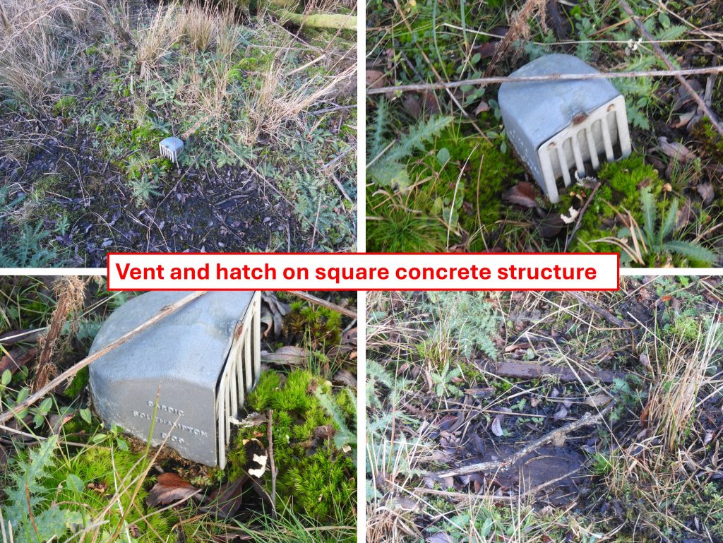
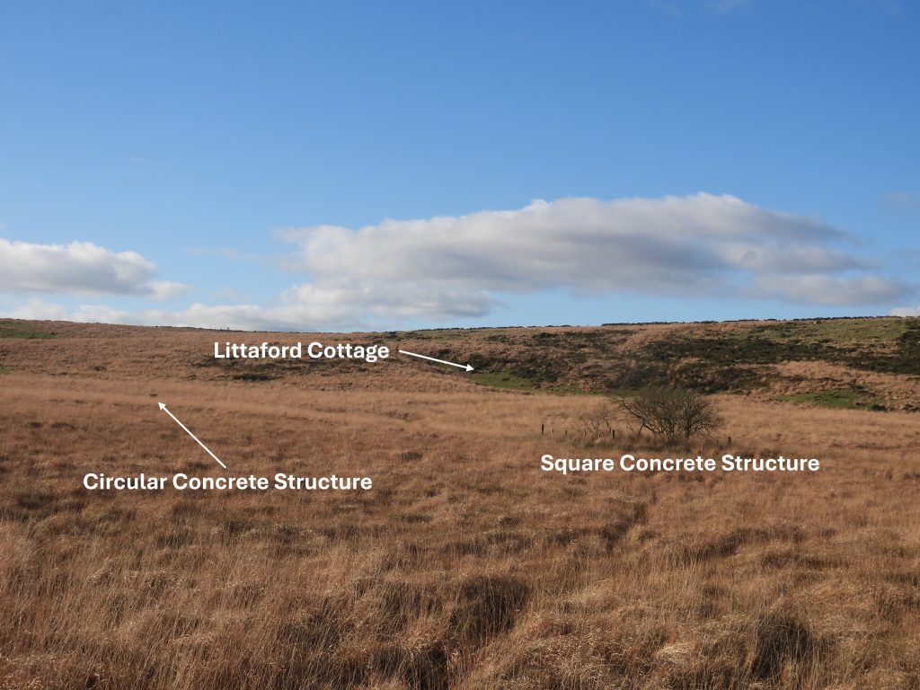
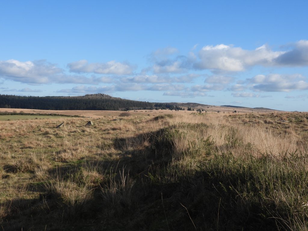
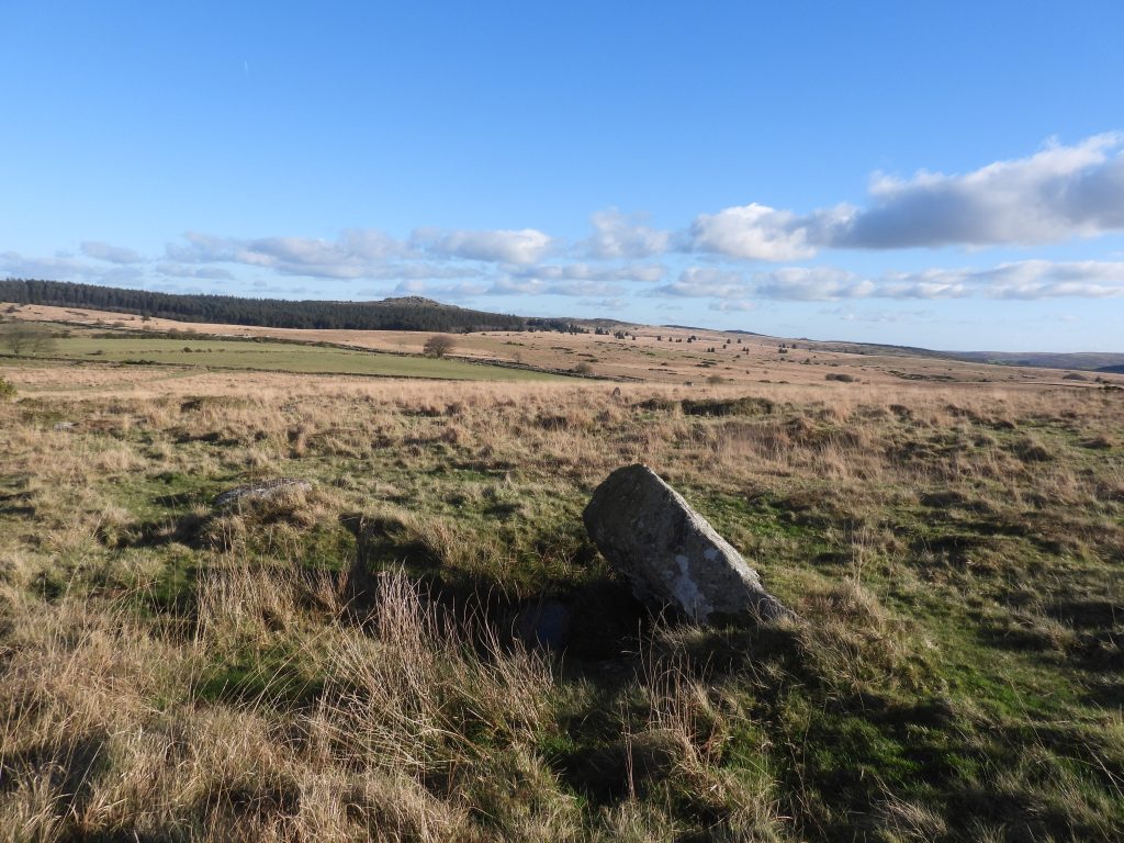
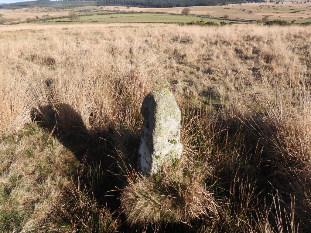
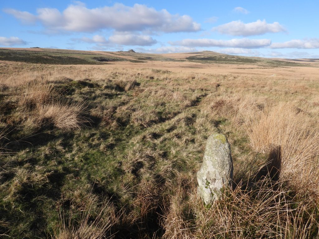
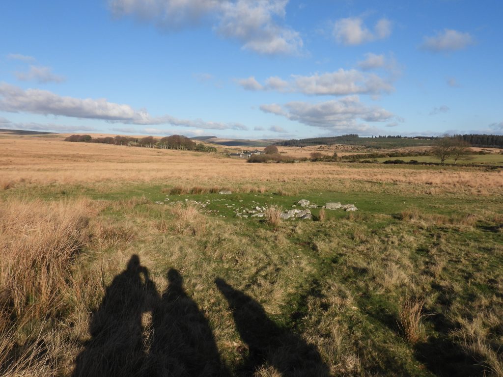
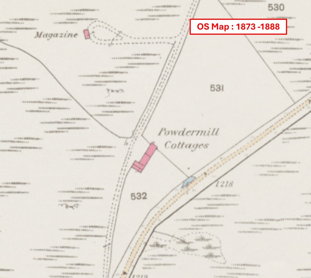
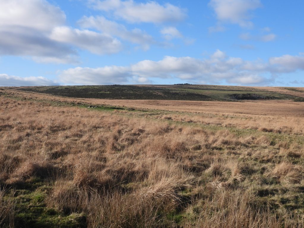
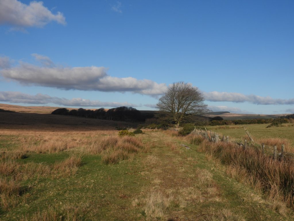
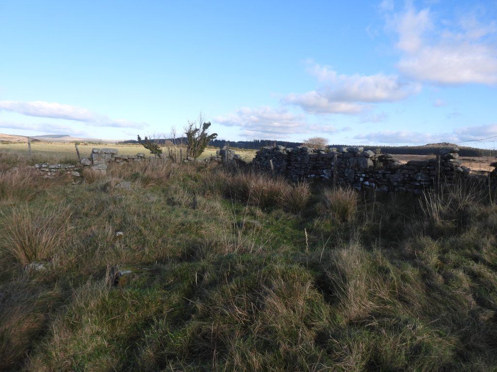
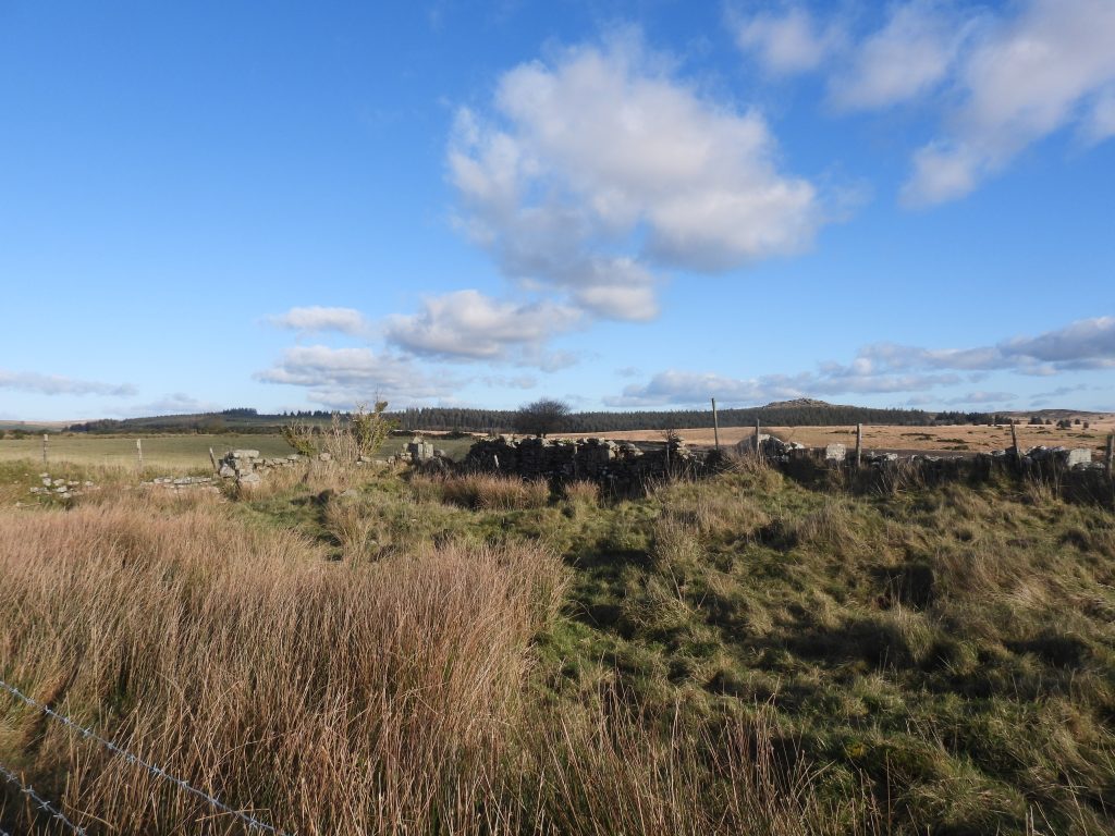
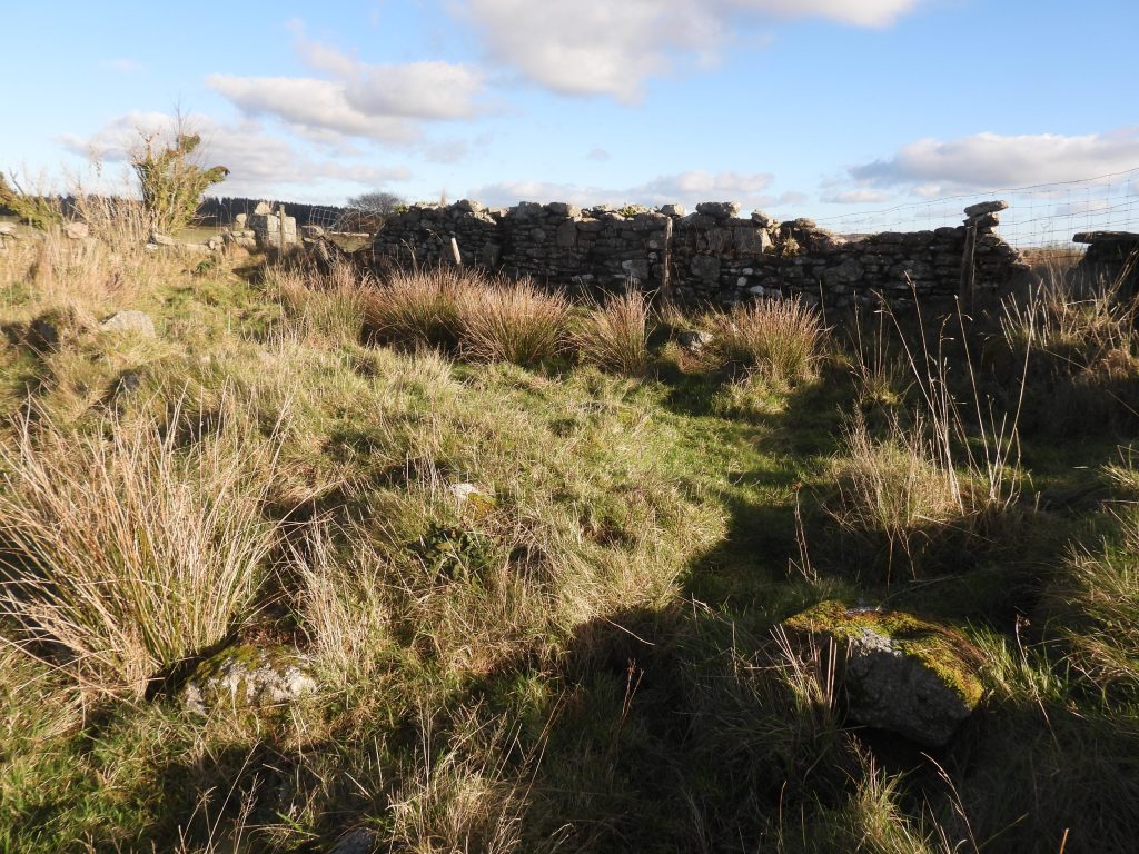
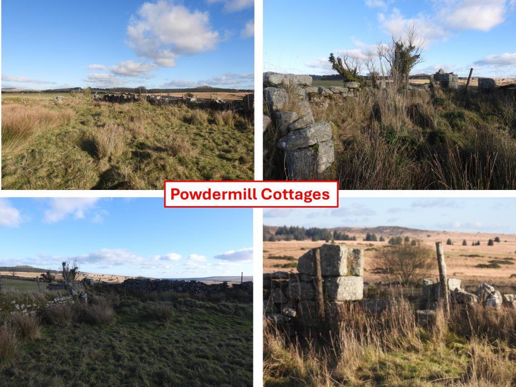
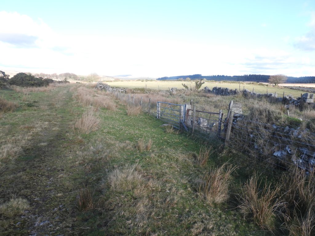
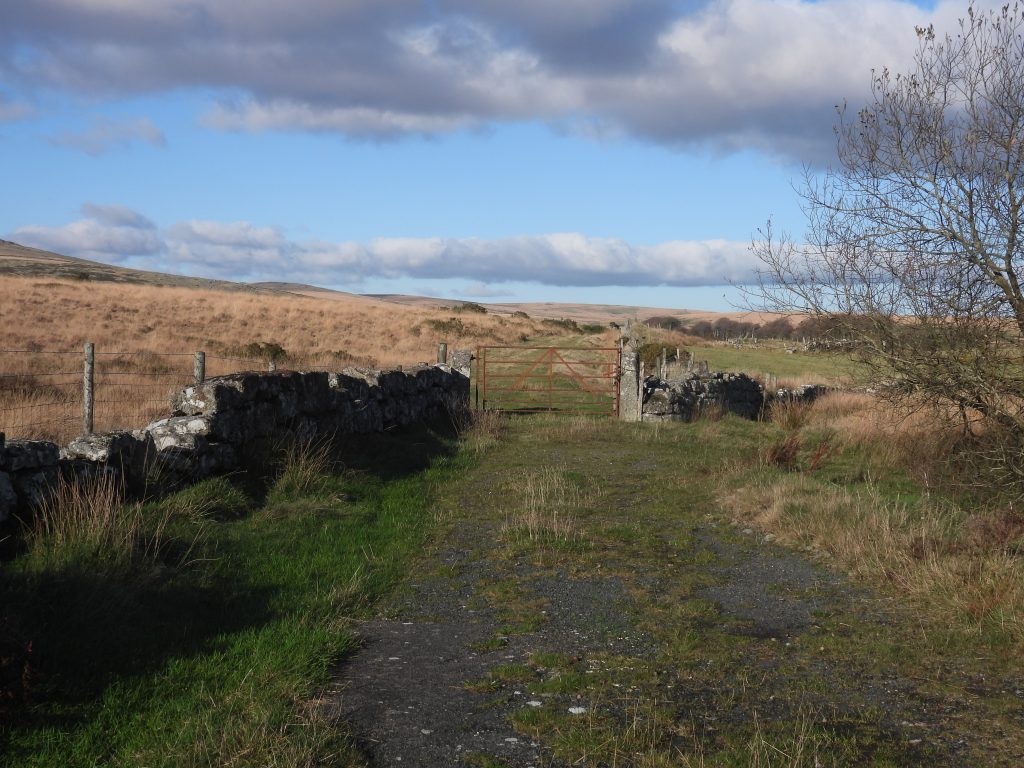
This sketch map shows the locations of the features covered in this post. The access to the area is best achieved either by parking at the small pull in by Cherrybrook Hotel (now a B & B) and climbing the stile there or park at Two Bridges and walk up and over the Littaford Tors ridge.This post starts from the Longaford / Littaford Tors ridge. This view is looking south east across the Cherrybrook eastern watershed towards Powdermills, where many of the features covered in this post are located Two (of three) Incorporating Mills at the former Powdermills Gunpowder Factory as viewed from Longaford / Littaford Tor ridgeLittaford Cottage is hidden away in a small natural hollow around 400m to the south east of Littaford Tors. The building is levelled into the bottom of this hollow. With it being quite obscured on all sides but to the east, the cottage is unlikely to be stumbled upon by the casual walker. It is located at SX61839 76586Named by R.G.Haynes in the mid to late 1960s as ‘Littaford Tor Cott’ this deserted ruined building is a very small dry stone house, which possibly had a fireplace.Measured by Ordnance Survey Archaeology Division in 1979, this rectangular building measures internally 6.6m N-S by 3.9m. Its course block walling is around 0.7m thick and 0.7m high.In 1982, Robinson observed that there are two set stones projecting inwards from the north wall, which resembled a fireplace, which has not interpreted as such by others The hollow where the cottage is located provides good shelter from westerly winds and weather. There are rather spectacular views to the east towards Bellever Tor and beyondThe entrance to Littaford Cottage appears to be on the east side. The wall to the south us very tumbled. Some ‘steps’ in the stone walling, to the north of the entrance may suggest there once may have been a crude window light. Near the centre of the west wall there may have been a second crude window light. The RCHME in 1985 noted the large flat slab (1m high 0.7m wide and 0.2m thick) set upright against the north wall, which this author suggests was part of the fireplace interpreted by Robinson in 1982 (plus Haynes in the 1960s)Internal walling in north east cornerView from north east cornerLeaving the delightful peace and tranquility of the Littaford Cottage hollowBellever Tor – a zoomed in view from Littaford CottageThere are two Concrete Structures in the small mire between Littaford Tors and Cherrybrook Hotel, just to the south east of Littaford Cottage ruin. They look like they are or were used as some kind of water monitoring. This cylindrical structure is at SX61971 76511Inside the cylindrical structure. Suggestions to the author as to its purpose, ranges from an environment agency monitoring station, to a private water supply for Cherrybrook Hotel to a sewage plant. The author has asked the Duchy office in Princetown as to what it might be as it lies on tenanted Ducy land. The second structure is square and looks like a sunk concrete tank. It is located at SX62076 76545The square structure is shown on modern OS maps (as a small black rectangle). The structure appears to have a vent (with Bardic Southampton embossed on it) and a manhole coverThe square structure has several trees growing alongside itContextual picture showing the locations of the two concrete structures in relation to Littaford CottageAway from the mire and to the east of the two concrete structures the ground is much firmer. Here there is upcast which initially looks like a reave. It does however, have a ditch alongside. It runs around the contour of the hill from SX 62267655 to SX 62257606 and would have been an old (albeit unfinished) leat. The leat was possibly intended for Cherrybrook Farm (19th century) which is now Cherrybrook Hotel / B&B. Starting near the stream head, the leat runs to around 150m north east of the former farm. There were two further small incomplete leats to the east, one of which may have provided water to fight possible fire for a (powder) ‘magazine’ whilst the other may have been a second pot water leat for Cherrybrook farm.There are several earthfast boulders in the area of the leat which when first viewed look like possible markers but this is not the case. The view north are to Longaford Tor and Higher White TorAnother earthfast, marker type stone / boulder in the area. The view is to the east and Bellever TorThis standing stone is located adjacent to the old leat which contours around the hill towards Cherrybrook Hotel. The purpose of this stone is unclear, but it is possible that it might have marked a track coming from the south which lead to the course of the ancient Lych Way (the way of the dead)The Lych Way (or Lich Way) was an ancient route which ran from the central moor north-westwards to Lydford. It was used by tenants of the central moor area to transport their dead to Lydford church for burial. In 1260, a special dispensation was granted for them to use the parish church of Widecombe instead (Hemery). The ancient tenements of Sherberton, Brim (or Broom) Park, Dunnabridge and Prince Hall are likely to have used the track (still a public footpath) across Muddylakes (or Muddilakes) to join the Lych Path. The standing stone to the north east of Cherrybrook Hotel (marked as Cherrybrook Farm on the above annotated map) may well have been a guide stone leading the traveller to the Lych Path. It probably predates the turnpike and the Chagford to Tavistock transmoor route (partly following modern B3357).The standing stone is 1.25m tall of 0.3m squarish sectionThe standing stone is located at SX62383 76477. The view in the photograph is looking north towards the Littaford Tors, Longaford Tor and Higher White TorNovember shadows overlooking the Powder Magazine ruins of the former gunpowder factoryThe Powder Magazine ruins of the former gunpowder factory was built in the 19th century and lies 120 metres north-west of the ruined ‘Powdermill Cottages’ on the original entrance track. The Powder Magazine ruin walls remains in the 21st century comprise coursed granite 0.6m wide and 0.4m high, with an internal area of 8.3m x 4.55m. More information on Powder Mills Gunpowder Factory can be found here: Powder Mills – Gunpowder Factory – Dartmoor ExplorationsThe ‘Magazine’ is annotated as such on 19th century maps as a small rectangular building. It is located at SX62516 76582The Powder ‘Magazine’ and Powdermill Cottages by the western entrance to the gunpowder factory as shown on a mid-late 19th century mapTrack leading to the Powder Magazine where there was a turning loop for the carts. This trackway lead to the main access road to the factory, which passed alongside the now ruined Powdermill Cottages (not the extant ones with the pottery!)The track to the Powder Magazine can be seen here as a green path amongst the molinia grass (starts middle right of the photograph)The original (westerly entrance) track to the Powdermills gunpowder factory. Access to the pottery and other cottages at Powdermills in the 21st century is via a tarmac road to the east.The ruins of Powdermill Cottages (19th Century) adjacent to the western trackway to Powdermills gunpowder factoryPowdermill Cottages were visited by R.G.Haynes on 11th June 1968. He recorded: “A well constructed mortared stone building near the western entrance to the Powder Mills complex, with contiguous barn or store house. Almost certainly a building connected with the Powder Mills and probably a dwelling”.Further to Haynes descriptions from the 1960s, the RCHME added in 1979, the following: “The long SE side wall has four blocked windows and three blocked doors. Together with remains of internal dividing walls these suggest probable subdivision into three small cells at the S end (the southernmost seems to have projected several metres W beyond the line of the main W wall) – probably cottages, and a store building or barn, measuring 15.4 x 6.5m internally, at the N end”. In 2025, much of the observations by the RCHME can still be interpretedPowdermill Cottages ruins can be found at SX6257 7644. The track alongside the cottages. The buildings were present in 1885 when they were labelled ‘Powdermill Cottages’ on OS maps. They would have no doubt been associated with the gunpowder factory operationsFormer western gateway to Powdermills gunpowder factory.