A collection of walks, discoveries, insights and pictures of exploring Dartmoor National Park
May 9, 2022
Dartmoor Preservation Association Landholding at Sharpitor
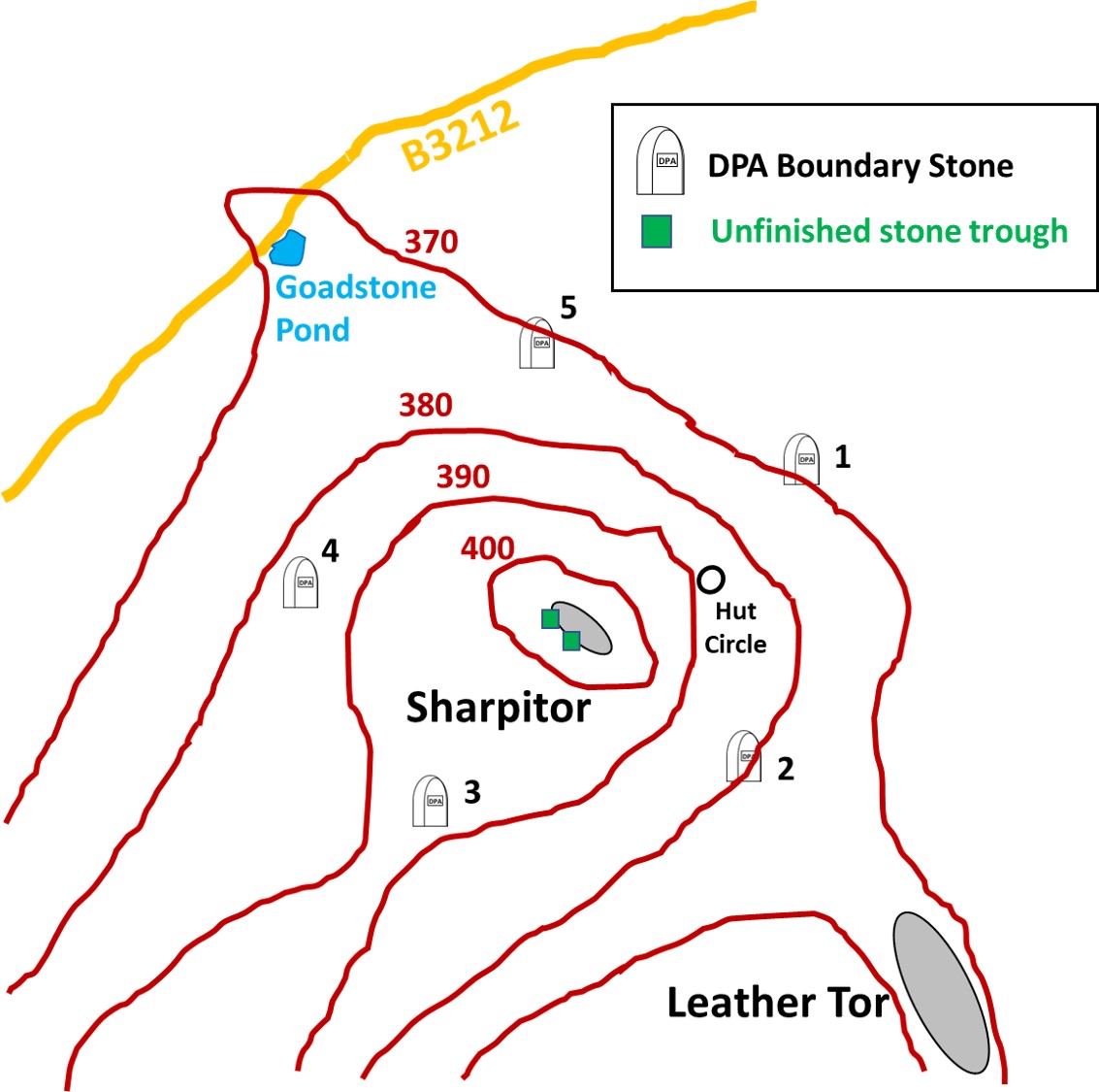
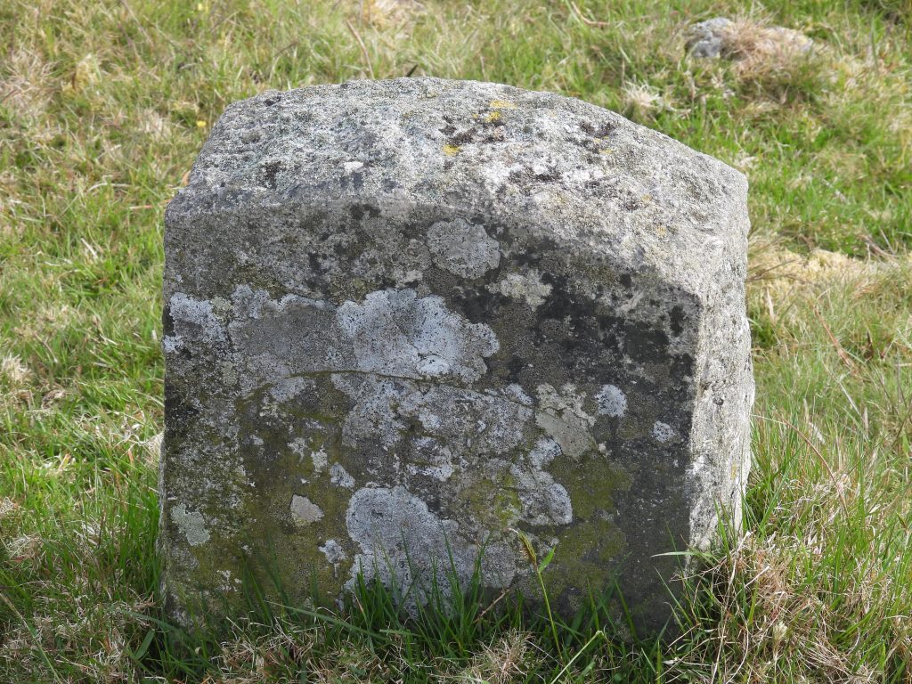
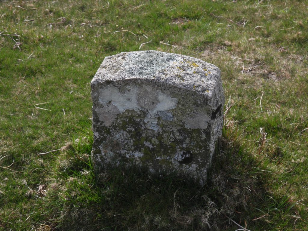
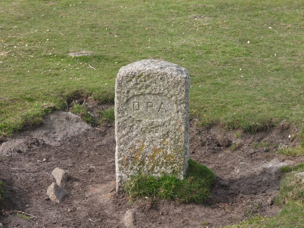
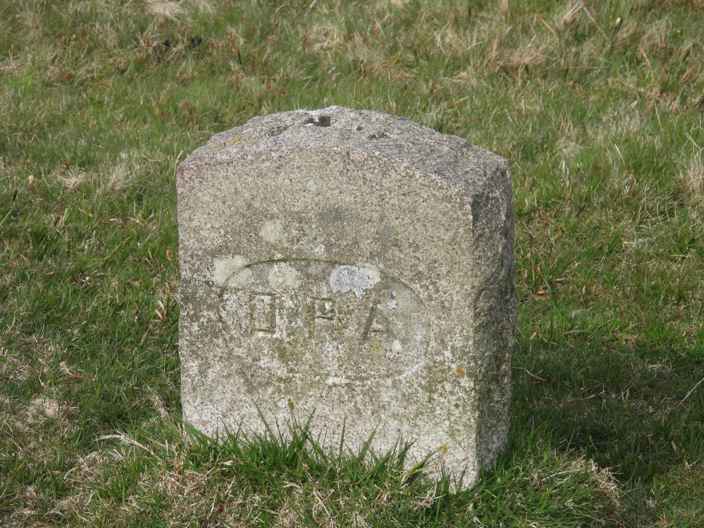
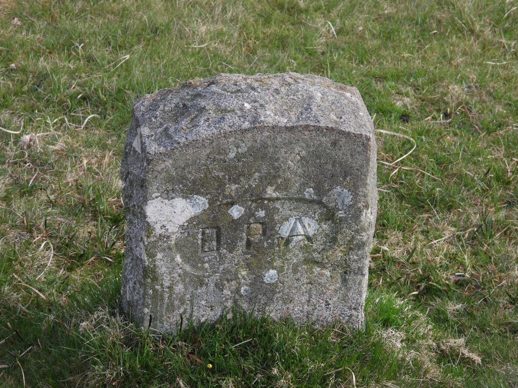
The Dartmoor Preservation Association (DPA) purchased 32 acres of land at Sharpitor in 1984 from South West Water using money from the Lady Sylvia Sayer land fund. To mark the boundary of the purchase, the DPA had erected 5 boundstones by the Dartmoor National Park Authority (DNPA) ground services department on 22nd June of that year. Each boundstone is made from (non-Dartmoor) granite, is machine-finished with an arched top and has “DPA” incised on it in an oval panel. The incised “DPA” on each slab faces inwards to Sharpitor emphasising the direction the boundary. This post features the 5 “DPA” stones plus some other antiquities and features that can be found within the boundary. The author acknowledges information in this post being obtained from the excellent Dave Brewer, Dartmoor Boundary Markers, 2nd edition.
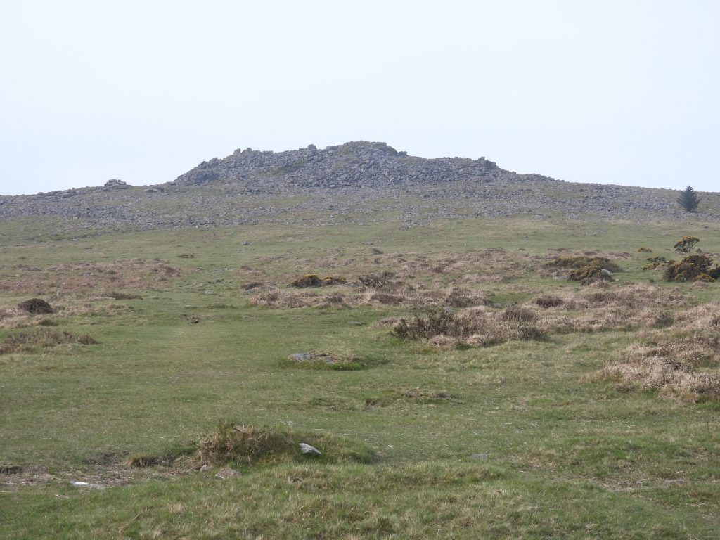
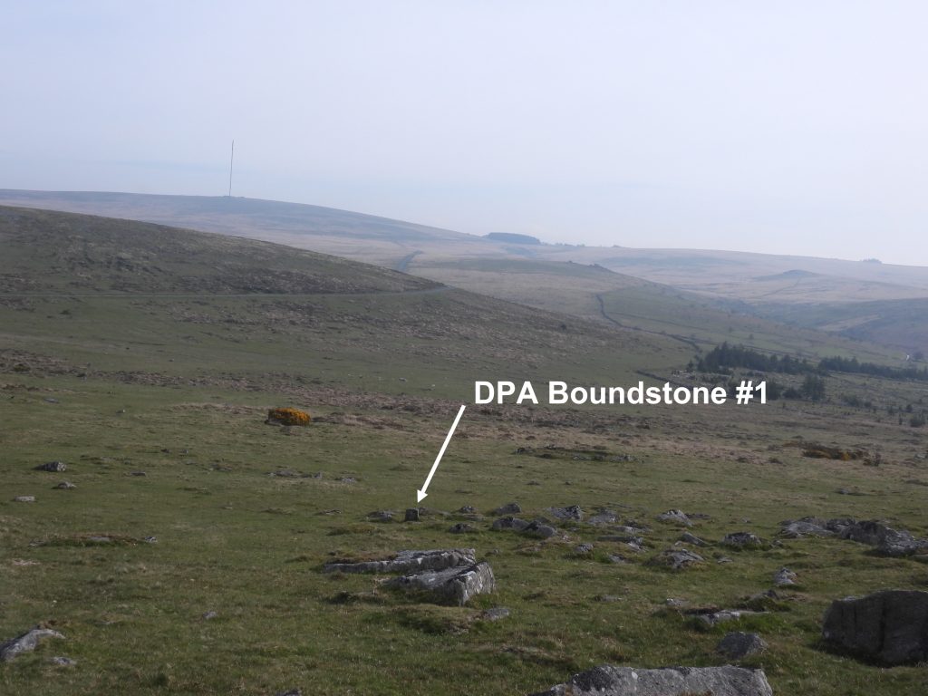
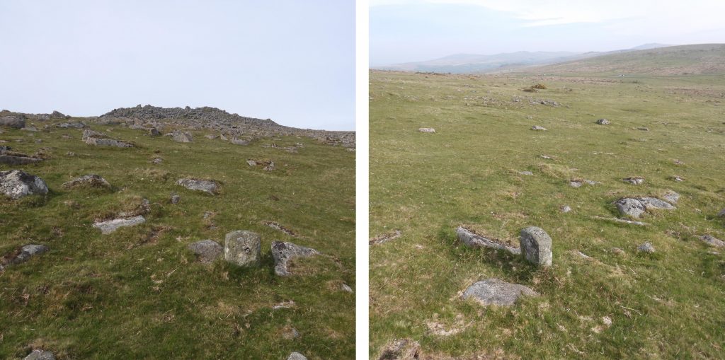
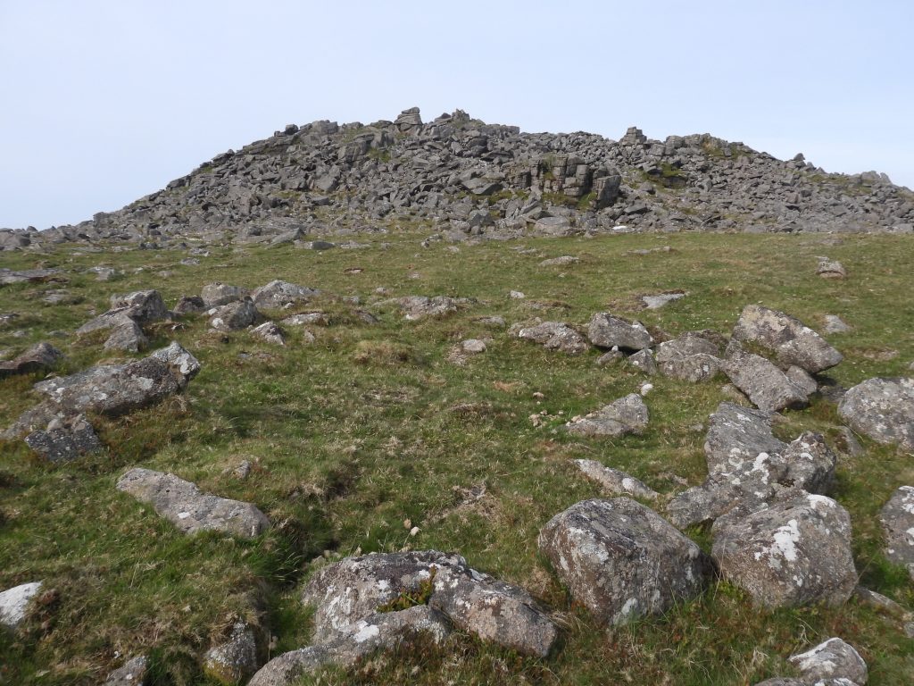
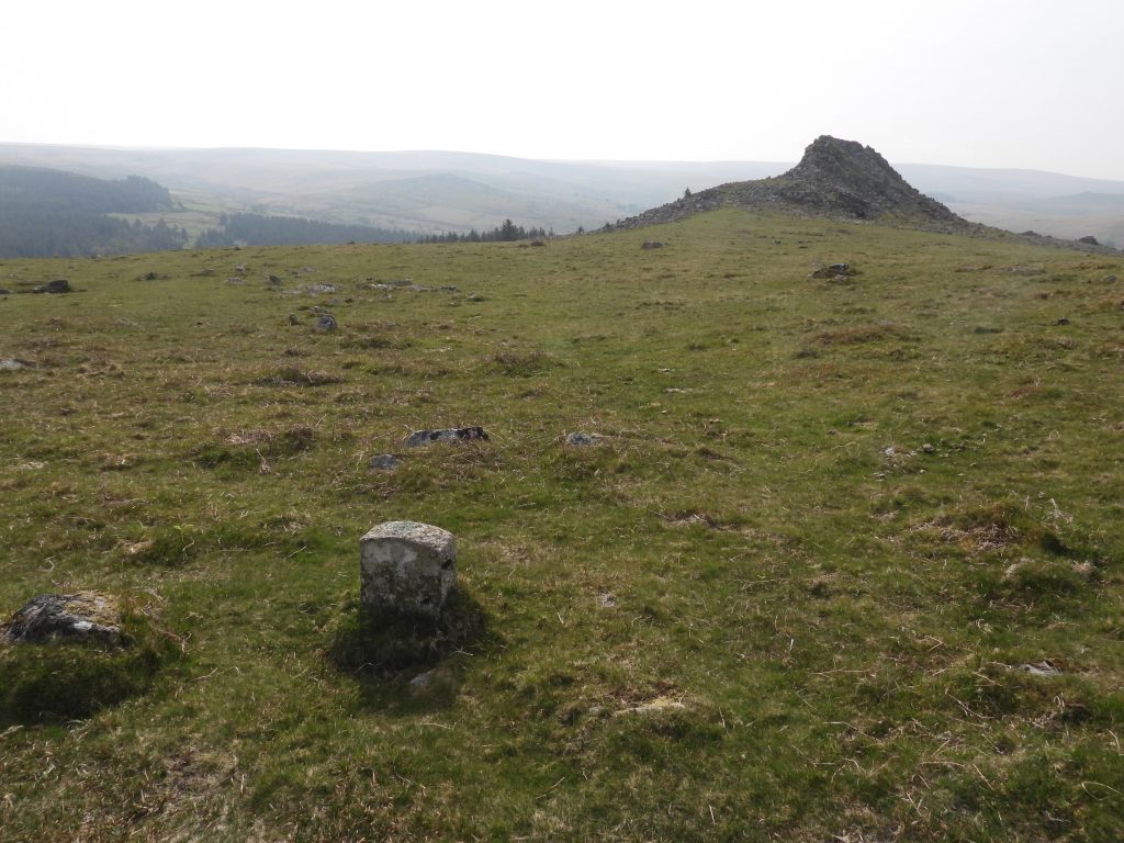
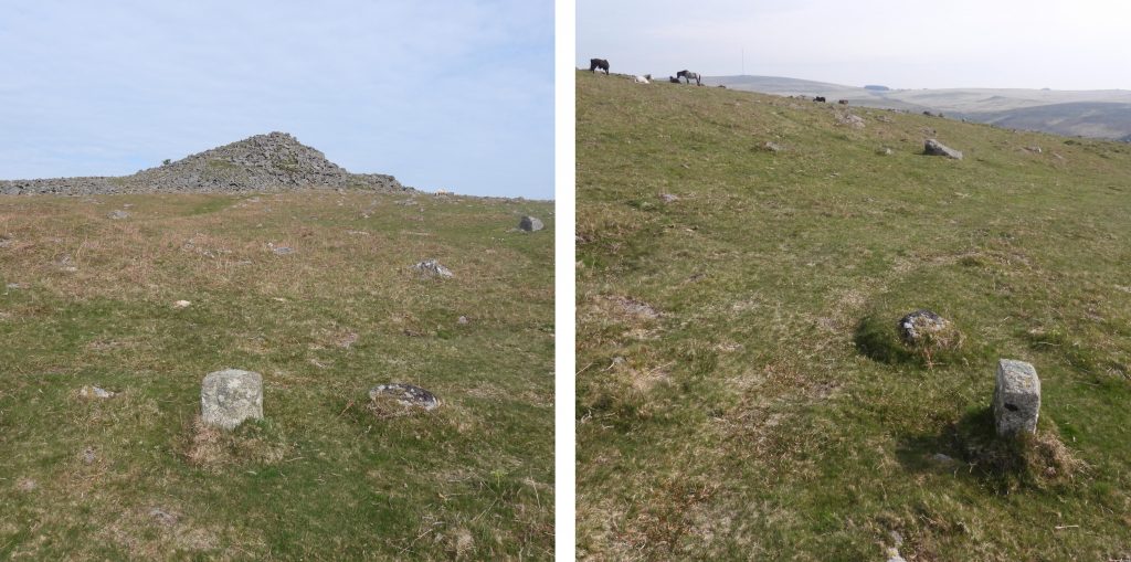
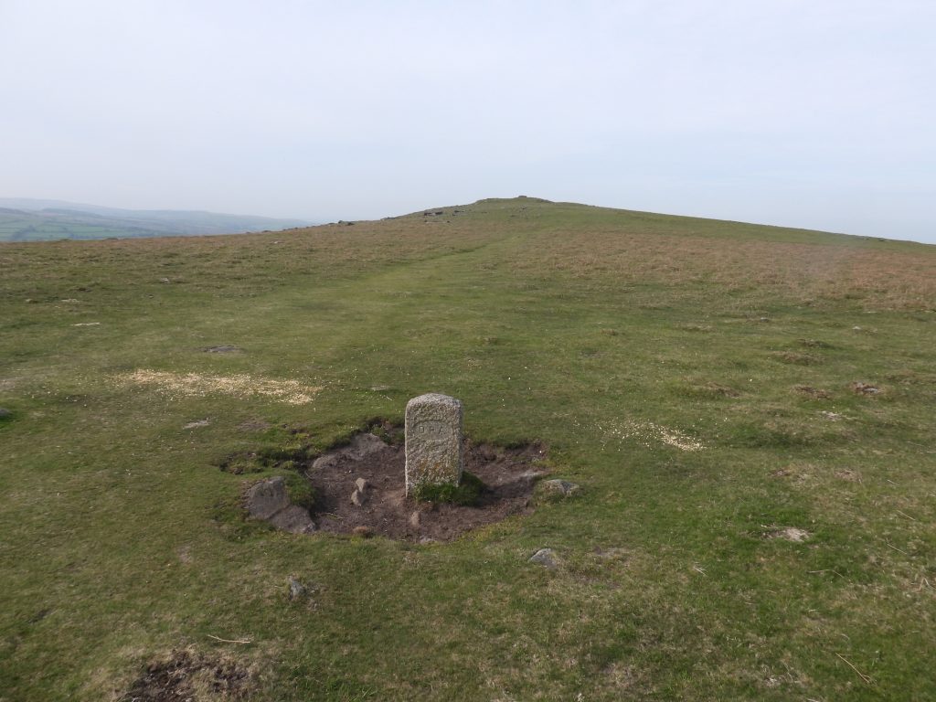
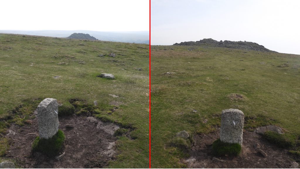
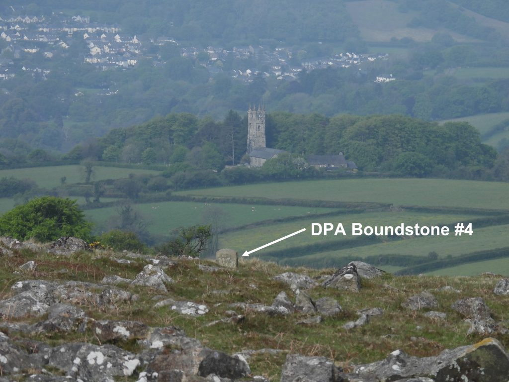
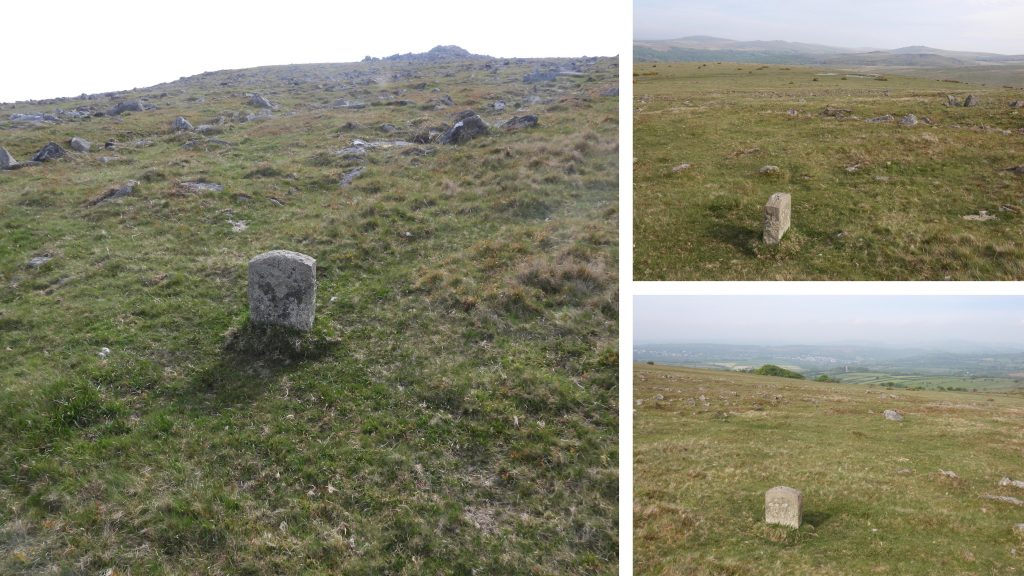
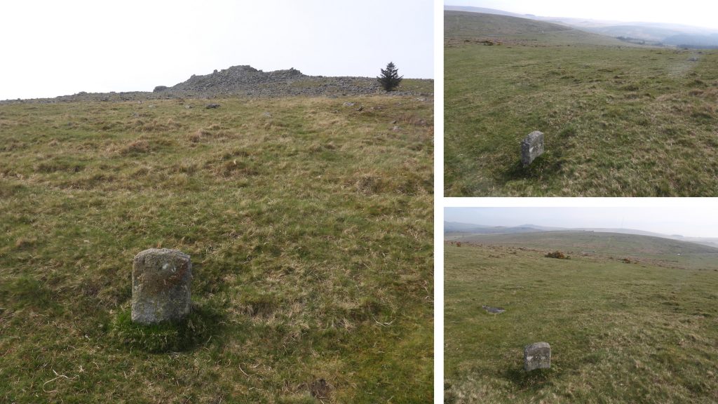
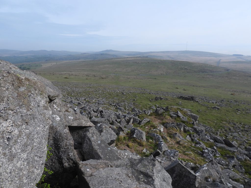
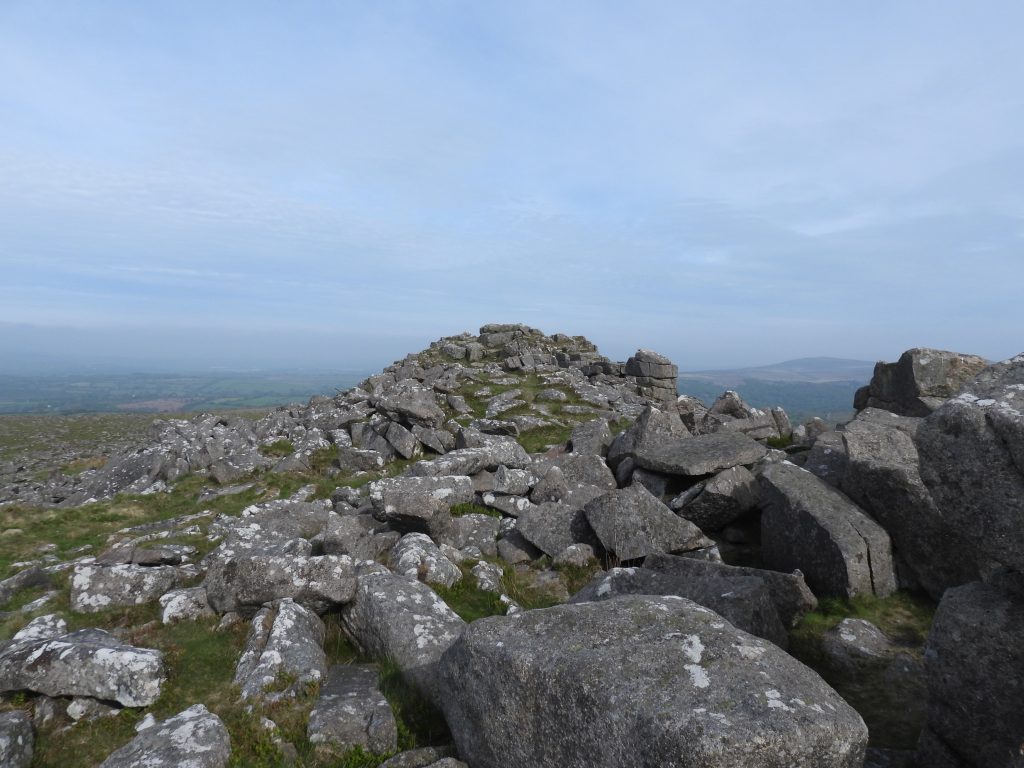
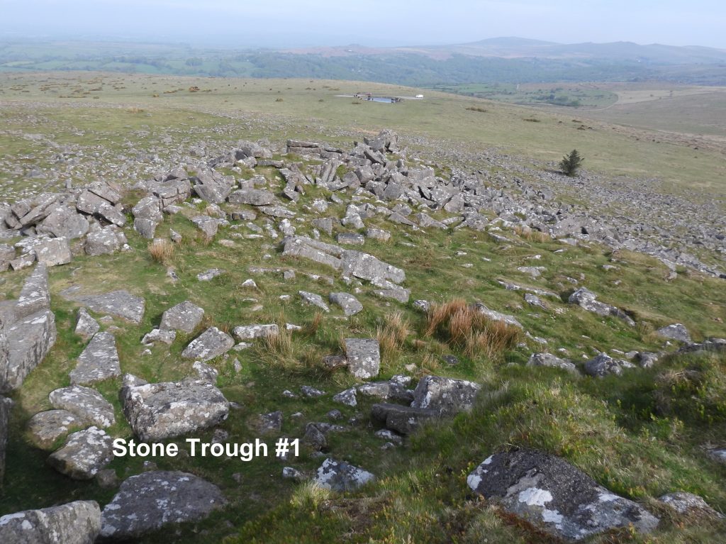
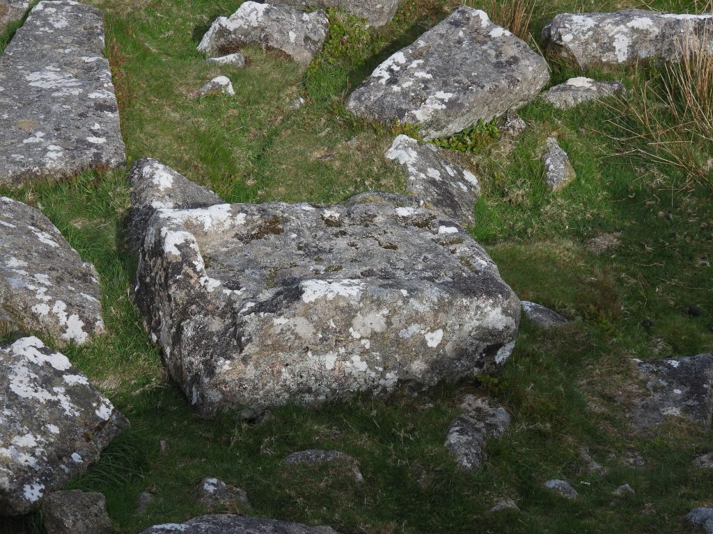
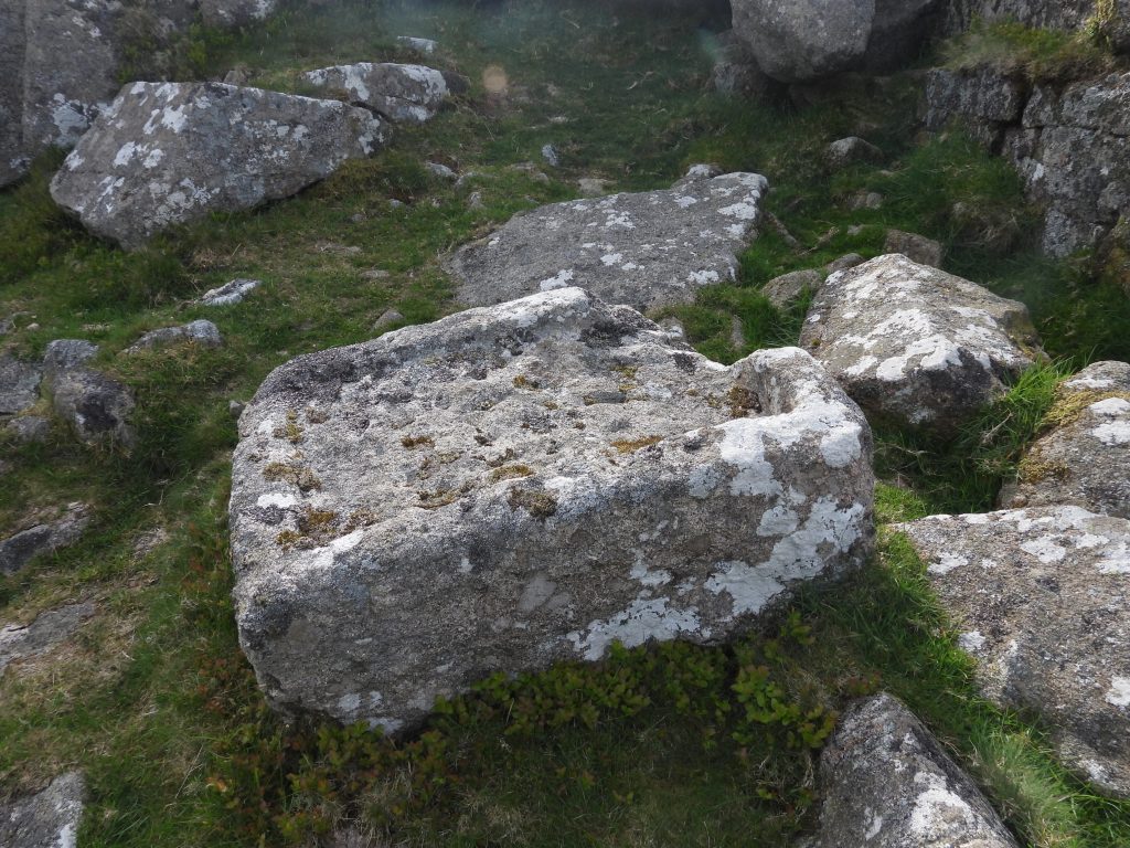
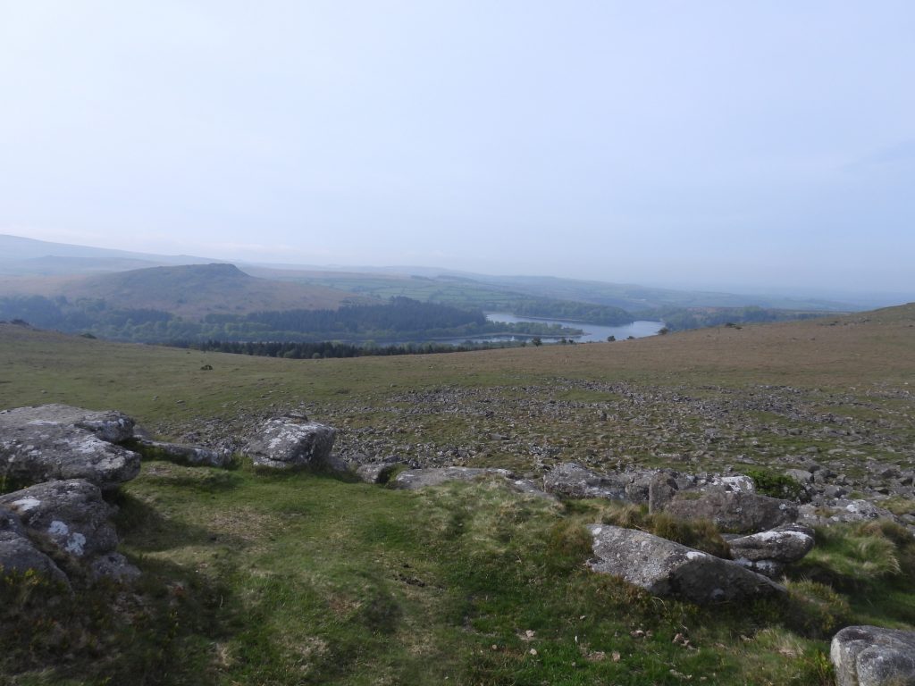
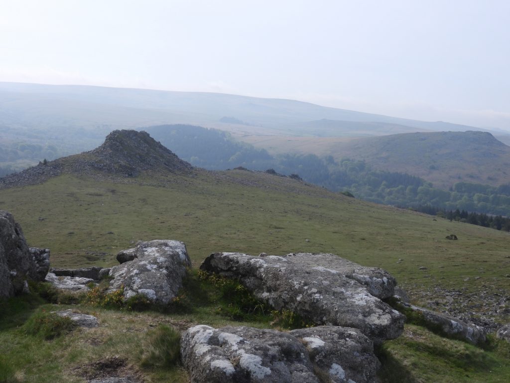
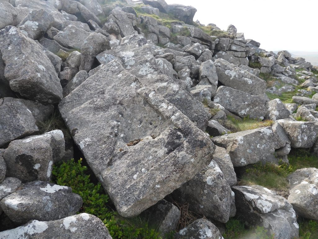
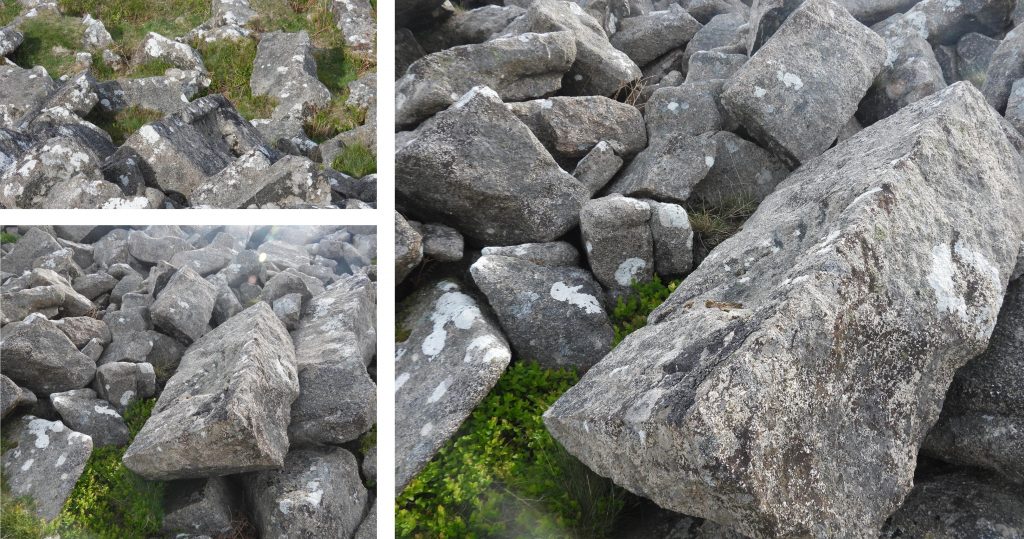
Sketch Map showing the approximate location of the 5 “DPA” boundstones, plus a prominent hut circle on the east side of Sharpitor and two unfinished stone troughs which can be found near the summit of the tor.Approaching Sharpitor from the north eastThe 5 “DPA” boundstones are labelled 1-5 in a clockwise direction (see sketch map). Boundstone #1 lies to the north east of SharpitorClose up of boundstone #1, with the “DPA” oval showing signs of a lot of weathering over the last 40 years or so.“DPA” boundstone #1 was recorded by the author at SX56139 70466.Close to the tor is a cluster of 4 hut circles. The largest (shown in the picture) is 7m in diameter. The Dartmoor HER speculates that as this one hut circle is larger than the others, it may therefore represent a different period of occupation. The hut circle is located at SX56053 70359To the south east of Sharpitor lies “DPA” boundstone #2, which is pictured here with Leather Tor in the background.Close up of boundstone #2 with its “DPA” oval panel.Boundstone #2 was recorded by the author at SX56095 70212.“DPA” boundstone #3 appears slightly taller than the others, the illusion most probably being due to the fact it wasn’t buried as far into the turf. The stone is to the south west of Sharpitor and it can be seen here with Peek Hill in the background.“DPA” boundstone #3 seems less weathered than the others.Boundstone #3 was recorded at SX55823 70175.The backdrop of “DPA” boundstone #4, which lies to the west of Sharpitor, is quite spectacular with Walkhampton church approx. 2km distant.Close up of boundstone #4Boundstone #4 was recorded at SX55715 70366.Close up of boundstone #5“DPA” boundstone #5 lies to the north of Sharpitor and was recorded at SX55917 70560.View from the top of Sharpitor looking north. The tor on the horizon (mid-picture) is Great Mis Tor.Sharpitor summitOn the north end of Sharpitor lie two stone troughs (there maybe more as lots of granite hereabouts looks “worked”. The picture shows stone trough #1 with Goadstone pond in the background.Stone trough #1 has a corner which appears cut away, which is probably why it was abandoned.Stone trough #1 can be found at SX55938 70341.View from Sharpitor summit looking south west towards Sheepstor and Burrator.Leather Tor, Sheepstor, Gutter Tor and Hen Tor from Sharpitor summit. Stone trough #2 is less finished than trough #1.Stone trough #2 can be found at SX55919 70349.