A collection of walks, discoveries, insights and pictures of exploring Dartmoor National Park
November 14, 2026
Spara Bridge
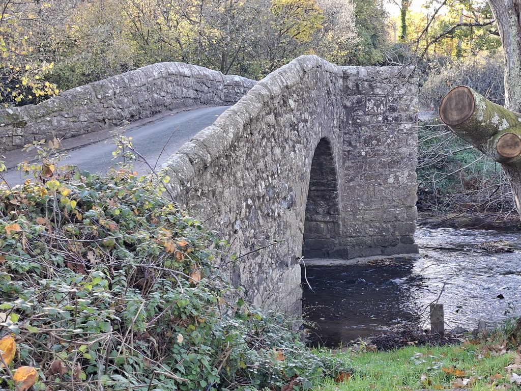
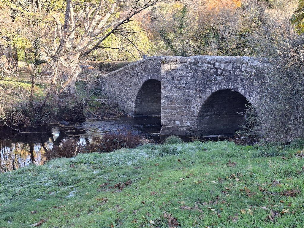
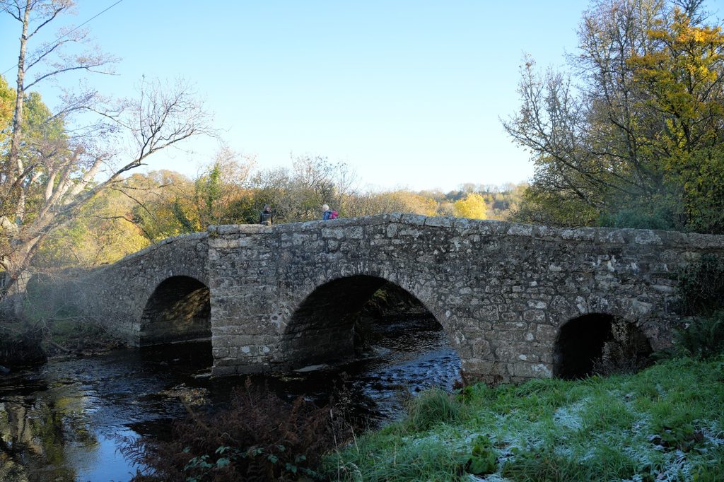
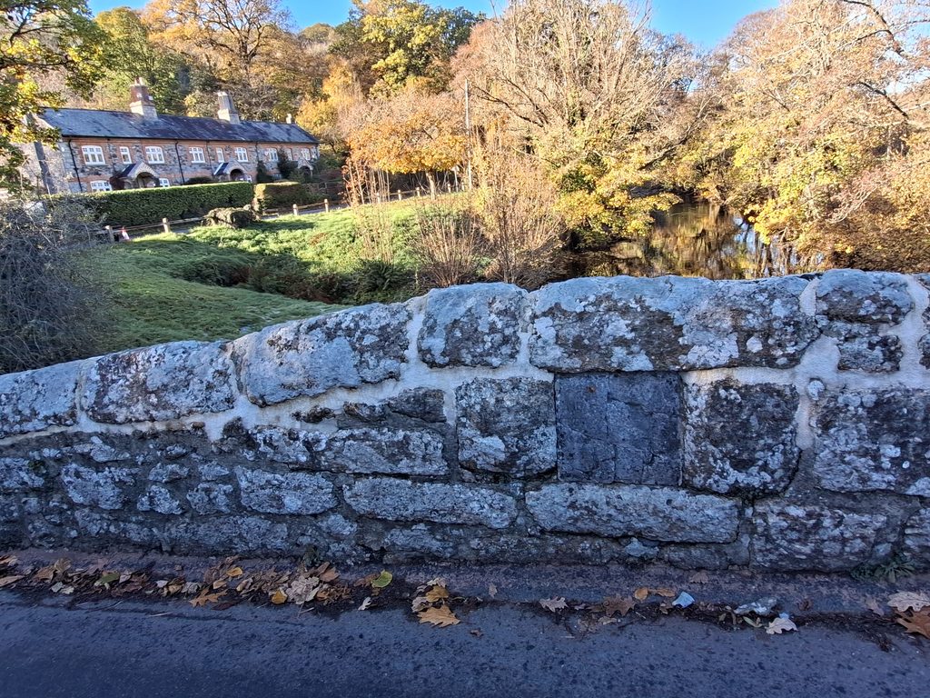
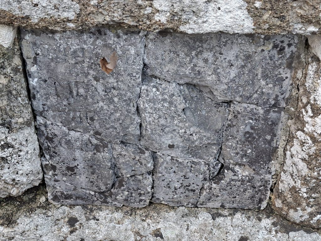
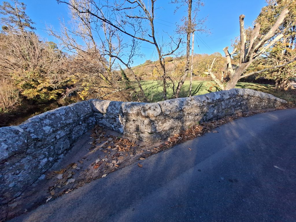
Spara Road Bridge spans the River Teign at the eastern boundary of Dartmoor National Park. It has a datestone (tablet) suggesting it was (re) built around 1660. However, there is a 1647 reference that it was called ‘Sparrowe Bridge’ and at that time was in decay. The has two main semi-circular arches and a third smaller ‘flood-opening’ arch at the western end.
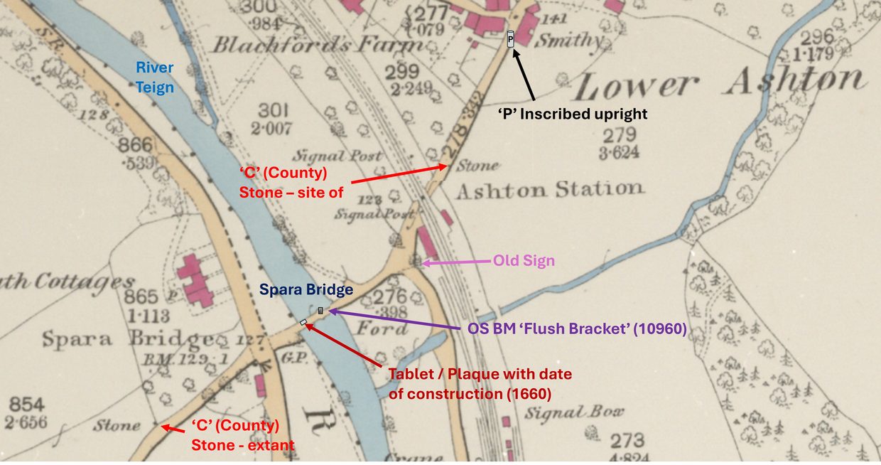
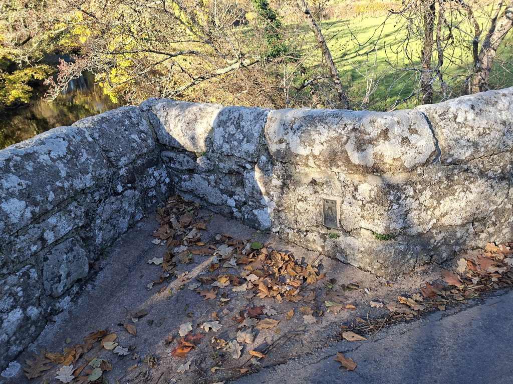
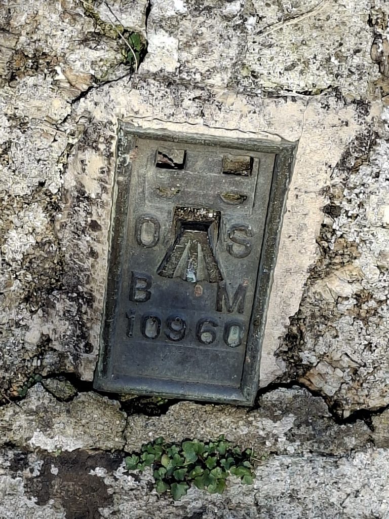
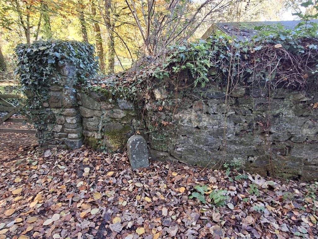
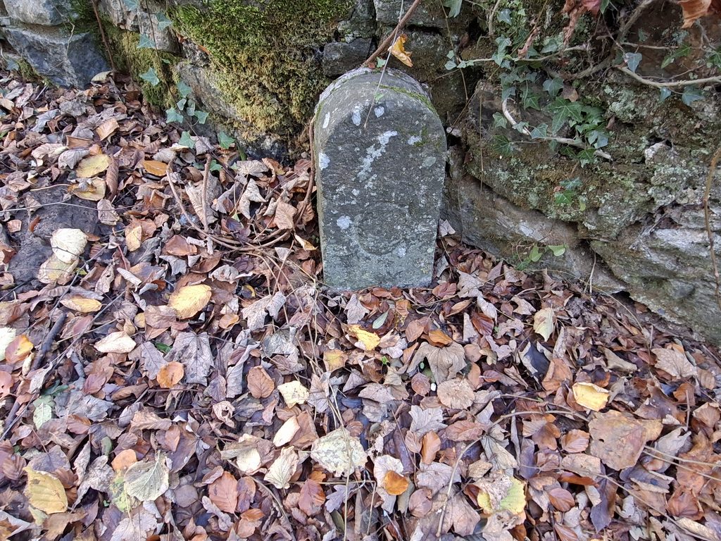
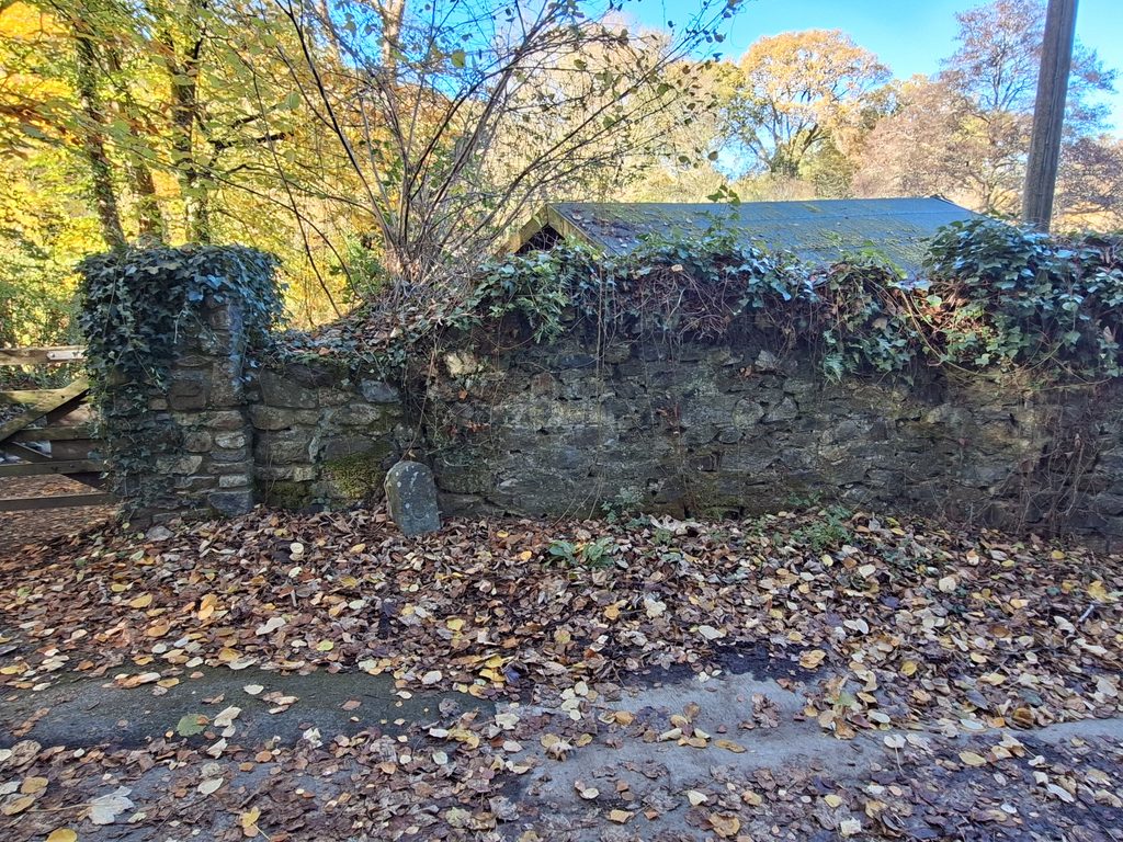
The bridge still retains one of its two ‘C’ (County) stones. Bridges within Devon, either constructed by the county, or taken over and therefore maintained by them would have had a set of two ‘C’ stones erected on either side of the bridge. Also, of significance is an Ordnance Survey ‘Flush Bracket’ which is mounted in the northern recess of the bridge. This is most likely of early / mid 20th century in origin
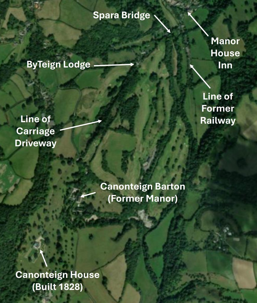
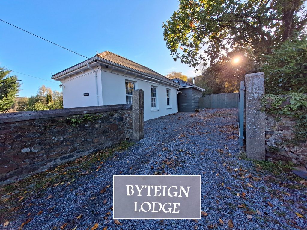
Into the 19th century, the bridge traffic would have increased significantly when the railway arrived in Lower Ashton in 1882. No doubt, the site of the station was chosen due to the location of the bridge thus allowing rail users to alight and cross the Teign for their onward journey’s to Christow, Canonteign Manor House and the surrounding hamlets. Indeed, the author recently spoke to the owner of ByTeign Lodge, who said that the Lodge Keeper, would have collected visitors by carriage from Ashton Station and taken them up the hill to the Manor at Canonteign House.
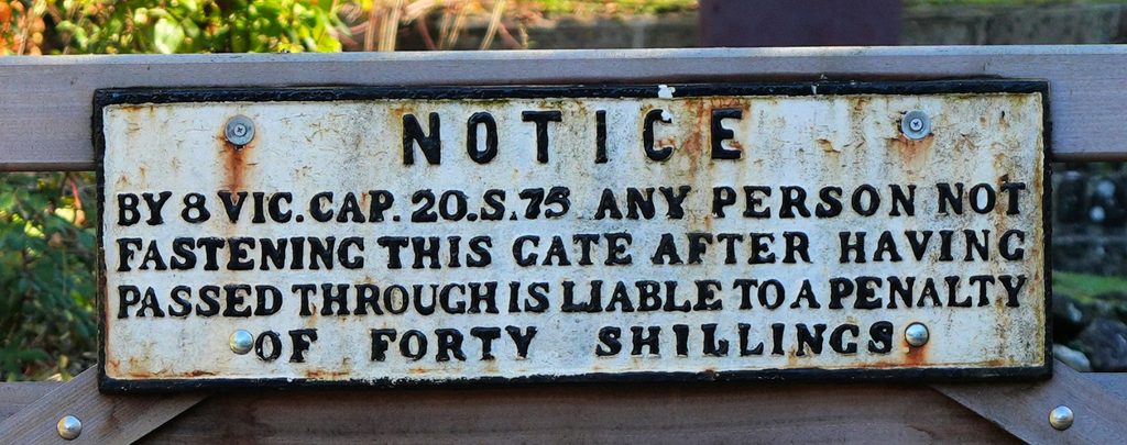
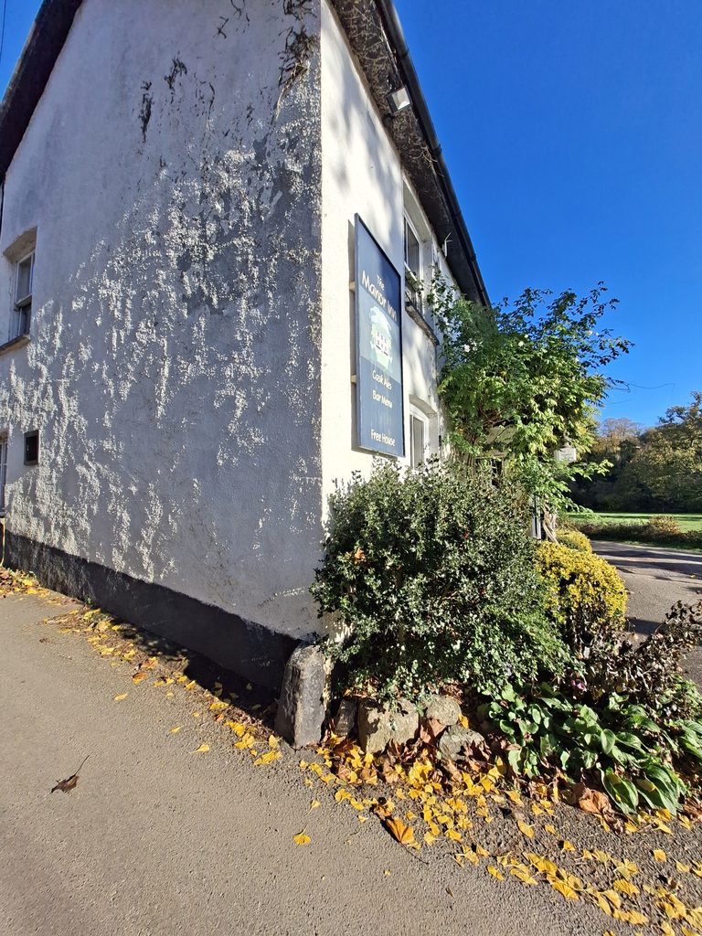
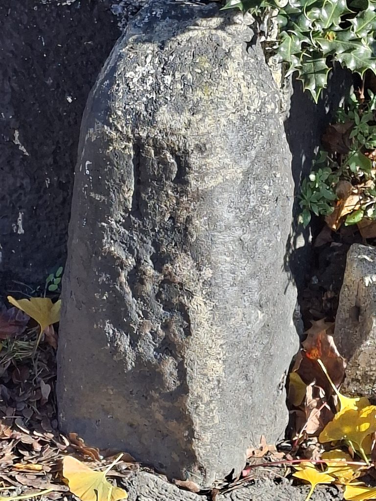
Other features in this post include an old railway sign and a ‘P’ inscribed upright next to the Manor House Inn in Lower Ashton, which probably stands for ‘Pellew’ the surname of the Viscounts Exmouth who owned Canonteign Manor and land around Ashton. The Pellew family would have almost certainly have been very reliant on the bridge.
Bibliography
C.Henderson and E.Jervoise – (1938) – Old Devon Bridges, 42-3
Department of Environment -(1988) -Ashton, 26 (List of Blds of Arch or Historic Interest)
Teignbridge District Council – (2010) – Teignbridge District Conservation Area Character Appraisals. Lower Ashton (Report – Assessment).
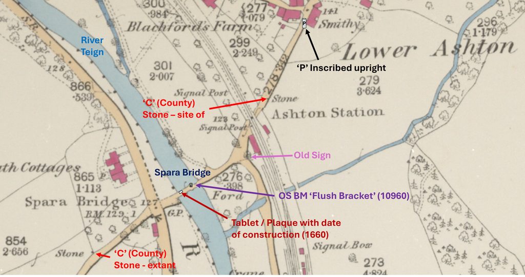
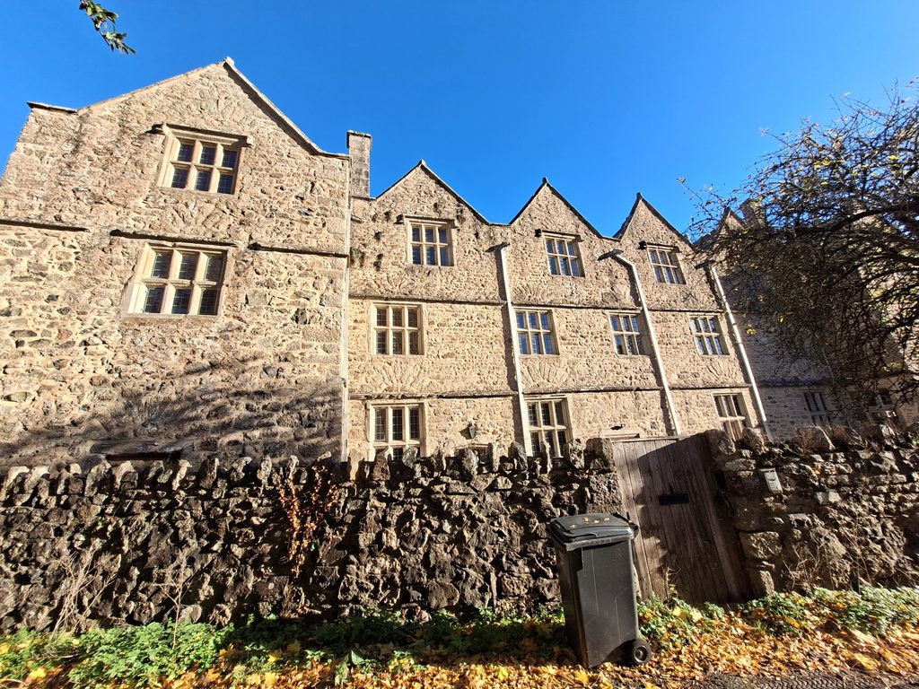
This annotated 19th century map (surveyed 1887, published in 1889) shows the key features covered in this post. Of note is that the Manor Inn (where the ‘P’ inscribed upright is located) hadn’t yet been built.This annotation of a ‘Google Earth’ plot attempts to show how the location of Spara Bridge would have been importation to the Viscount Lord Exmouth(s) in the 19th century linking their land to both the east and west of the River Teign as well as to the railway, when it arrived in 1882.View of Spara Bridge from the east (Lower Ashton) side of the River TeignSpara Bridge from the west side of the River TeignZooming out from the west side of the bridge the two main semi-circular spans and the third smaller ‘flood-opening’ arch at the western end. Picture courtesy of Frank CollinsonThe plaque / tablet on Spara Bridge with Exmouth Cottages beyond. Exmouth Cottages across the river from the station at Ashton may have been built for railway workers circa 1882.The plaque / tablet on Spara Bridge once read: “This bridge was new builded at the Countyes Charges Anno 1660”.Northern (upstream) recess over the cut-waterOn closer inspection of the northern recess an Ordnance Survey ‘Flush Bracket’ can be foundThe ‘Flush Bracket’ (used to level surveyors measuring equipment) is numbered OS BM 10960. There was a 2nd and 3rd Geodetic levelling exercises carried out to / from Bridford to the north (which has a Fundamental Benchmark). These exercises were carried out from 1912-21 then 1950-68. However, although the author suggest the bracket dates from the 20th century, he cannot find any evidence that it was used during the aforementioned levelling exercises.To the west of the bridge (uphill towards Coombe) is the only extant ‘C’ StoneThe ‘C’ Stone is located at SX84265 84029The ‘C’ Stone is located next to a driveway Old GWR sign near Ashton Station. The notice refers to the gate which led to a pedestrian path across an active railway line. The financial consequences of not fastening it was £2, which in 2026 would be around £220 (assuming the date of the notice was 1845). The “8 VIC. CAP 20.S.75” part of the notice is quite interesting for Railway Historians; The Law regarding trespassing on railways was passed in the Parliamentary Session of the 8th year of Queen Victoria’s reign, 1845 (Hence 8 VIC). The specific law regarding trespass was Section 75 of the 20th Chapter of the law (hence CAP.20.S.75)South west corner of the Manor House Inn. This public house was not recorded on the 1887 surveyed OS map had appeared on maps by 1904. It appears that it was constructed during this 17 year period (exact date unknown) being built onto the side of the Smithy. Of interest is a small upright inscribed ‘P’, which the author believes links this location with the Canonteign Manor insofar as the land here (as well as the Manor) were owned by Lord Exmouth (recorded on Tithe from circa 1840). The public house is on the site of a former orchard (plot 46 on tithe) and the surname of (Viscount) Lord Exmouth in the 19th century was Pellew. The small standing stone inscribed ‘P’ is located at SX84436 84207. The author whilst looking at the history of Higher and Lower Ashton Manor noted a reference to Prouz family and Polsloe Priory (14th century) which were unlikely options for the inscription. It seems now very probable that this inscription is ‘P’ for Pellew (Lord Exmouth)On the subject of Lord Exmouth, the picture above is of ByTeign Lodge, which is located at the bottom (north east) end of a former carriage way from Canonteign Manor. The Lord Exmouth influence on the area through ownership of property and land would most certainly relied of Spara Bridge to link both sides of the river. One can imagine, one of the gate keepers duties was to collect guests of Lord Exmouth from Ashton Station and to take them to Canonteign Manor via the carriage drive.Canonteign Barton (former Manor House). In 1812, Sir Edward Pellew, later Lord Viscount Exmouth, purchased this manor and the old house. However, it was reduced to being a farm after 1828 when he had built Canonteign House near by (see previous Google Earth annotation). This building lies at the top (south west) end of the carriage way and was semi-derelict prior to a major restoration in the 1970s.