A collection of walks, discoveries, insights and pictures of exploring Dartmoor National Park
August 26, 2026
River Avon Tinners’ Mill (usually submerged by Avon Reservoir)
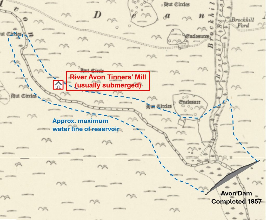
With the prolonged drought in the Summer of 2026, the water level of Avon reservoir dropped significantly enough to enable a late Medieval Tinners’ Mill to be exposed near to where the river normally enters the reservoir, just below an area known as Bishop’s Meads. The Mill would have been submerged with water from the River Avon as a result of the construction of the Avon Dam (which was completed in 1957).
Prior to being submerged the Tinners’ Mill was mentioned and recorded by several people in the early to mid 20th century. William Crossing mentions the mill in his ‘Guide to Dartmoor’ (page 367) describing it “as probably being a tin-mill, or place where ore was crushed”. Just over 40 years later on 14th April 1954 the Mill was found by a Hamlyn Parsons together with Mr and Mrs E N Masson Phillips. Parsons described the Mill as a Blowing House (ie where tin was smelted) which was formerly the property of a T A Falcon. A few years later, in 1957, Lady Aileen Fox in an article on the excavations of a ‘Monastic Homestead’, a prehistoric settlement, around 500m downstream from the Mill records that a Mr Malcolm Spooner had recently examined the Mill and his findings were to be published in Transactions of Devonshire Association. The author is unable to find any record that Spooner ever recorded his findings. Unusually, another eminent Dartmoor author and explorer Hansford-Worth (Worth’s Dartmoor) does not mention the Mill with only the Mills at Heng Lake and Fishlake on the Avon being recorded.
There are significant artefacts and evidence at the Mill to confidently assume it was once a Blowing House and a Stamping Mill (where tin ore was crushed) albeit the two operations may not have occurred at the same period in time. Since being submerged by the rising waters of the Avon reservoir, the author is aware that there have been at least two researchers who have visited and recorded the Mill. They are Dr Tom Greeves (circa August 1976) and Robert Smerdon from Dartmoor Tinworking Research Group in Summer 1995 (recorded findings in the DTRG Newsletter in January 1996). The Mill is possibly c16 century but there is no known documentary evidence of it.
Dr Tom Greeves records the Mill in his list of ‘Lodges and Mills: The Field Archaeology of Tin Accommodation, Stamping and Smelting on Dartmoor’ as number 3 and states that the Mill (and immediate surrounding area) comprises; a building structure; a wheelpit (visible), a bearing stone*, a leat embankment, a furnace structure, some mouldstones, some tin slag, some mortarstones, a trough and a ancilliary lodge/building
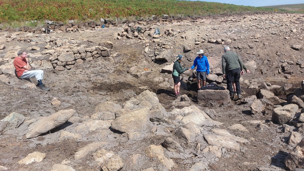
This post records a field trip the author was on with members of the Dartmoor Tinworking Research Group in late August 2026, who a week prior to their visit had passed the area (enroute between Heng Lake/Broad Falls Tinners’ Mill and Brockhill Stream Tinners’ Mill) and had observed how low the water level in the reservoir had become, thus suggesting the Mill would be both visible and accessible. The Mill still contains all the artefacts recorded by Smerdon in 1996 plus an additional mortarstone not recorded.
*When the Mill site was excavated in mid 1950’s by Hamlyn Parsons and G.M. Spooner (a year before the dam was complete), a ‘Bearing Stone’ was found during the clearance of the site. This ‘Bearing Stone’ was given to Dr. Tom Greeves by G. M. Spooner who then left it with Mrs R. Robinson, Harbourneford, South Brent on 15th June 1987 to pass to Plymouth Museum (ref: Greeves). The ‘Bearing Stone’ was Greenstone and was around 1.5m x 0.5m judging from an ink drawing the author has seen
Bibliography
Robert Smerdon – (1996) – Dartmoor Tinworking Research Group (DTRG) Newsletter, 12th January 1997, pages 6-8; Avon dam blowing house furnace: some observations & speculations
Dr Tom Greeves – (1997) – Dartmoor Tinworking Research Group (DTRG) Newsletter, 13th July 1997, page 4; Avon dam blowing house
Dr Tom Greeves – (2016) – ‘Lodges and Mills: The Field Archaeology of Tin Accommodation, Stamping and Smelting on Dartmoor’) – Mill 3
Dr Tom Greeves – (1981) – The Devon Tin Industry 1450-1750, an Archaeological and Historical Survey
William Crossing – (1912) – , Crossing’s Guide to Dartmoor, pages 94 and 367
Hamlyn Parsons – (1956) – Dartmoor Blowing Houses: Some Recent Investigations, 191-2 (Article in Serial). SDV147453.
Lady AileenFox – (1957) – Excavations at Dean Moor (1954-1956), 23 (Article in Serial). SDV167114.
Richard Hansford Worth – (1967) – Worth’s Dartmoor, Pages 309-10, 294, 312-13, 495 and Fig 93. Pl. 68B
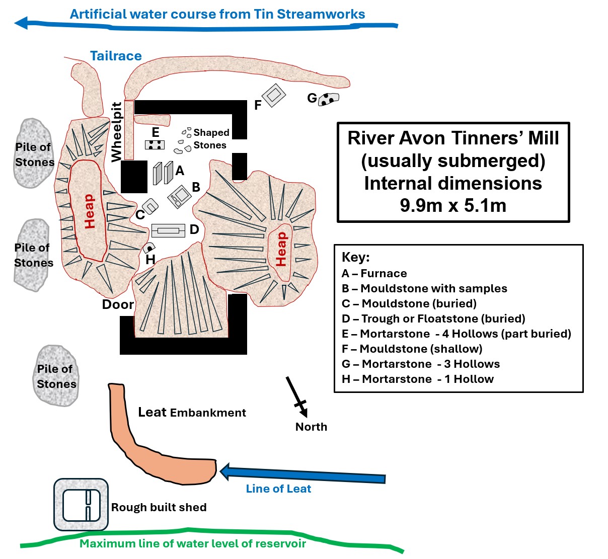
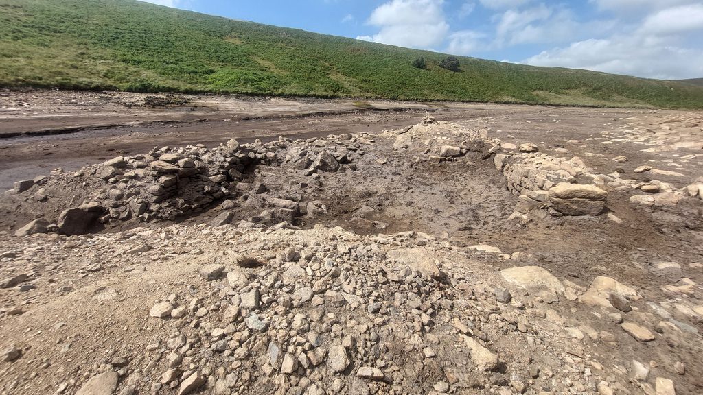
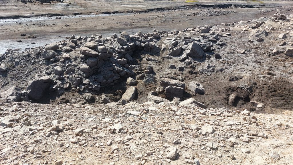
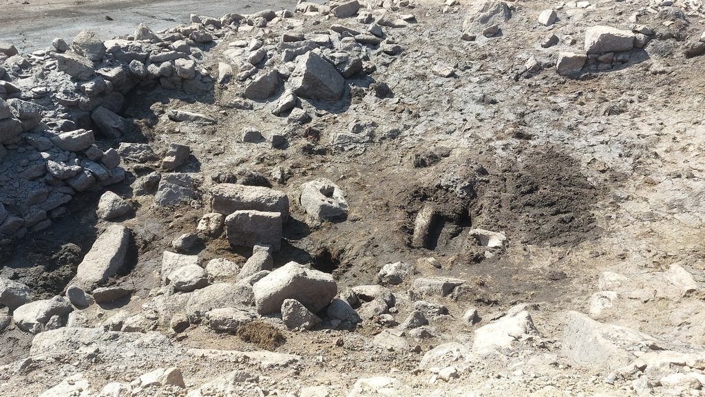
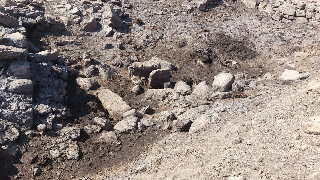
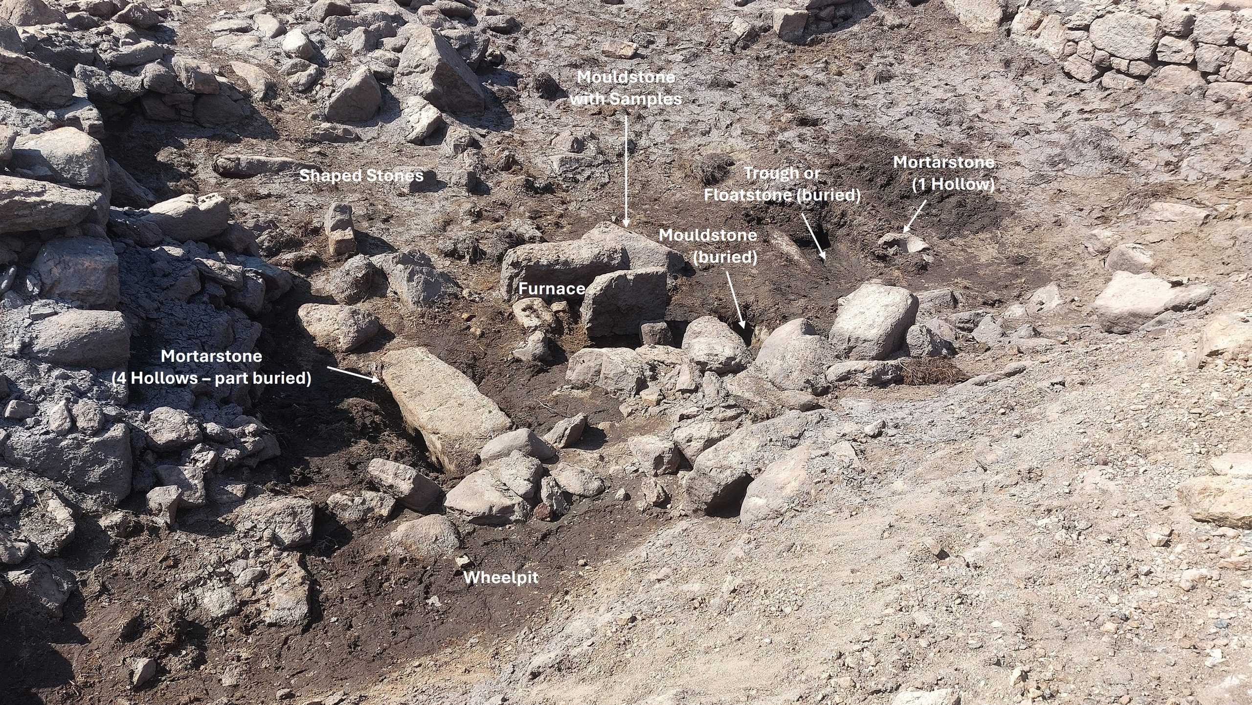
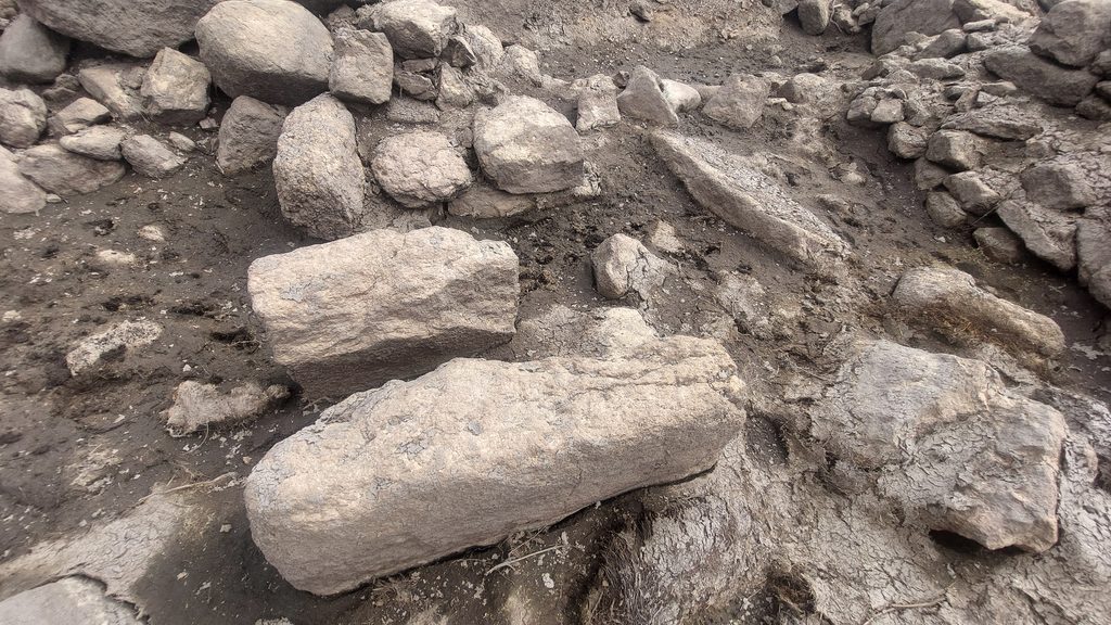
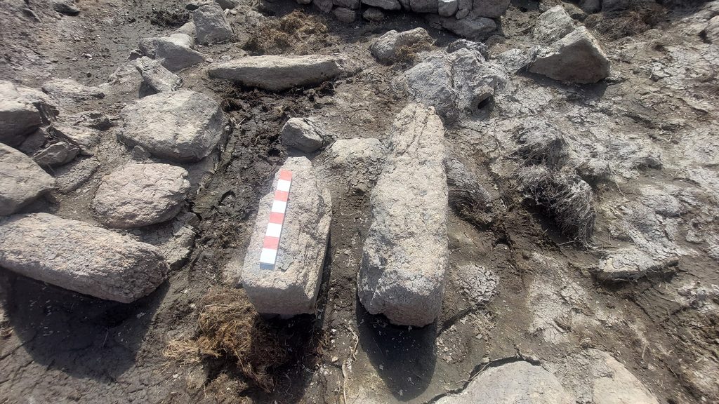
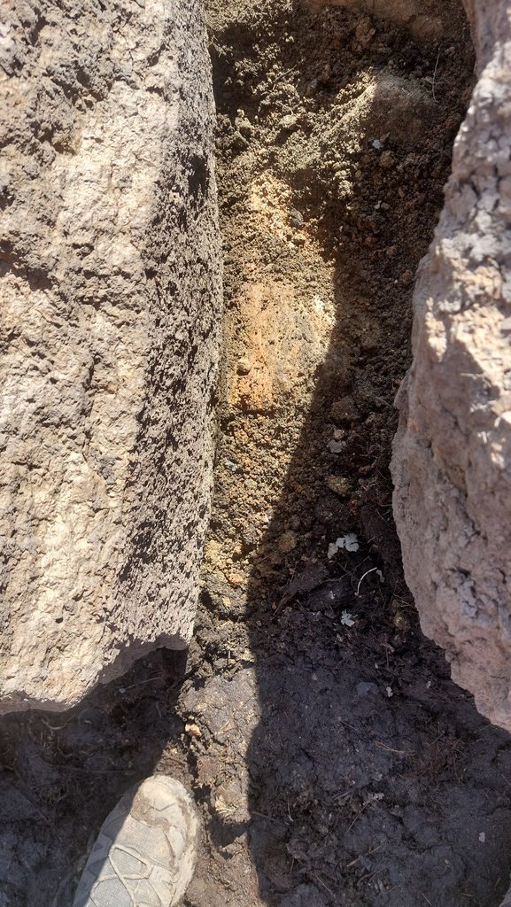
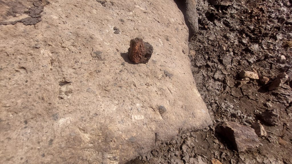
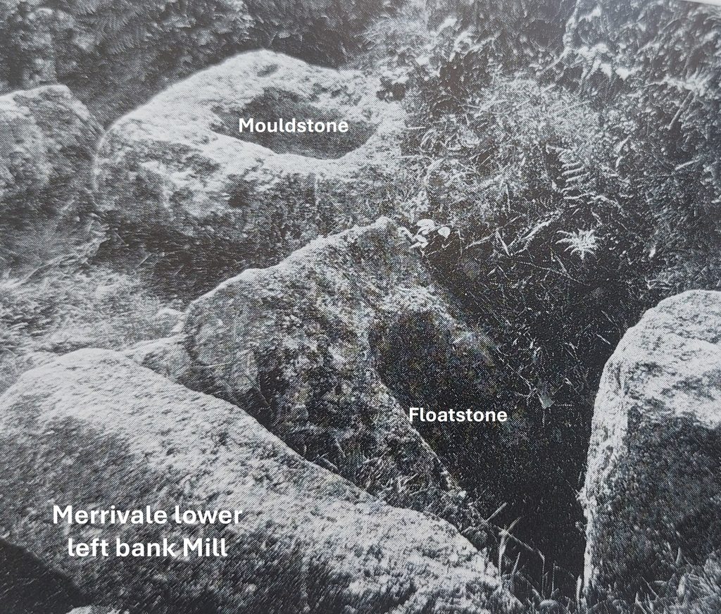
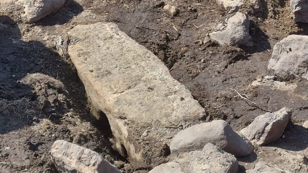
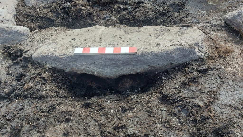
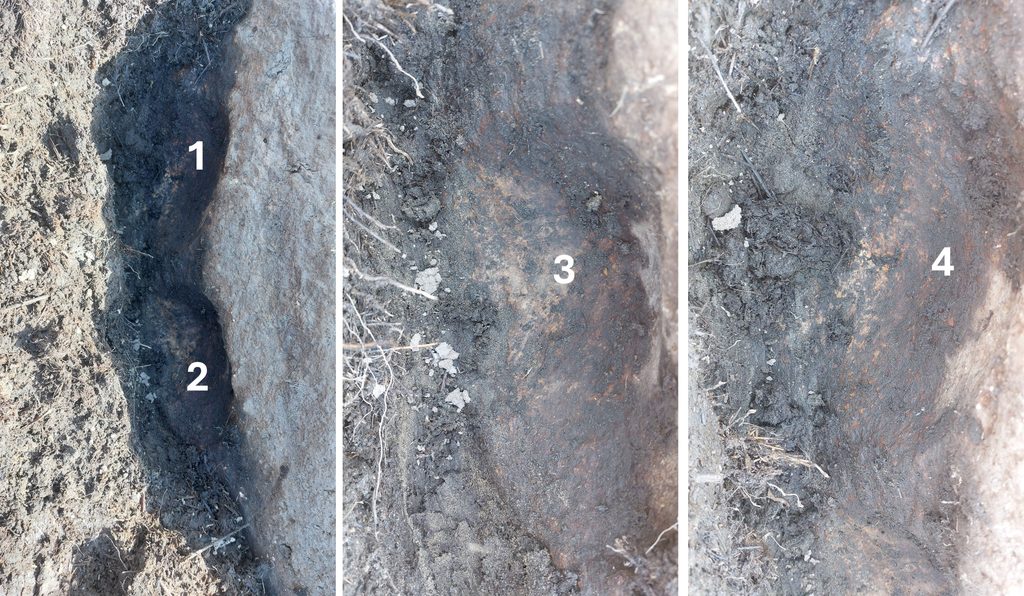
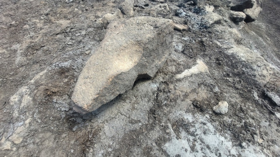
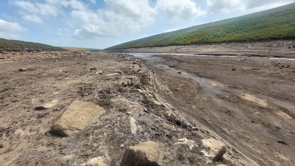
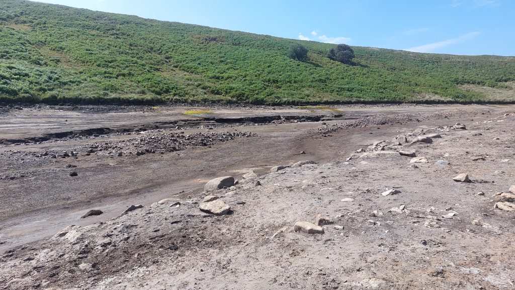
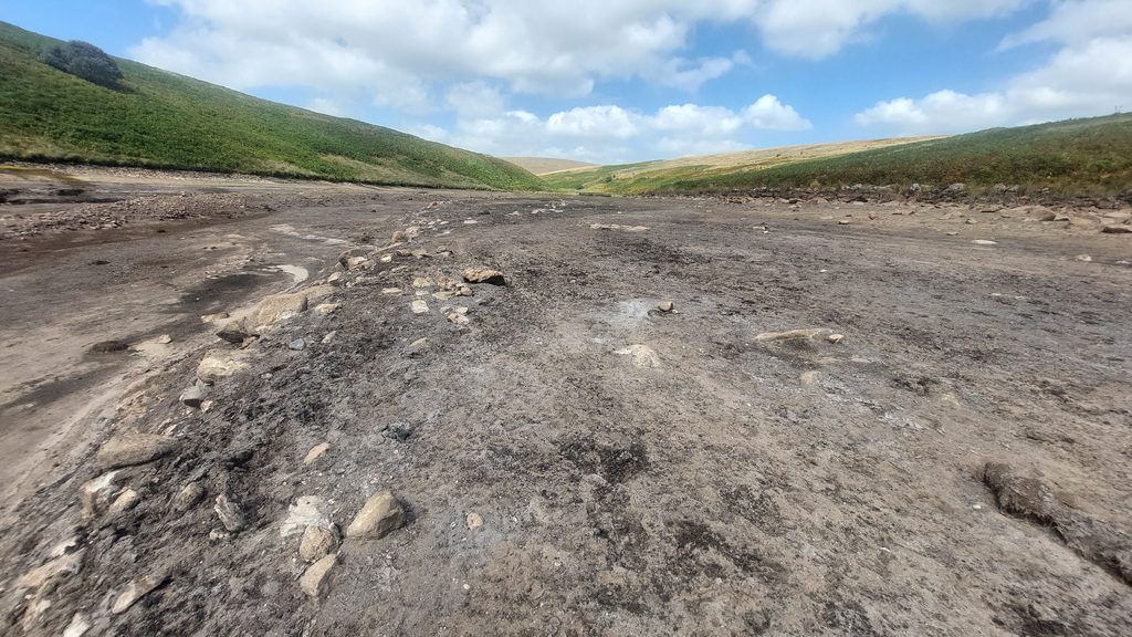
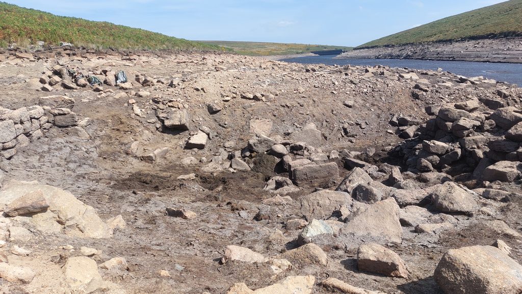
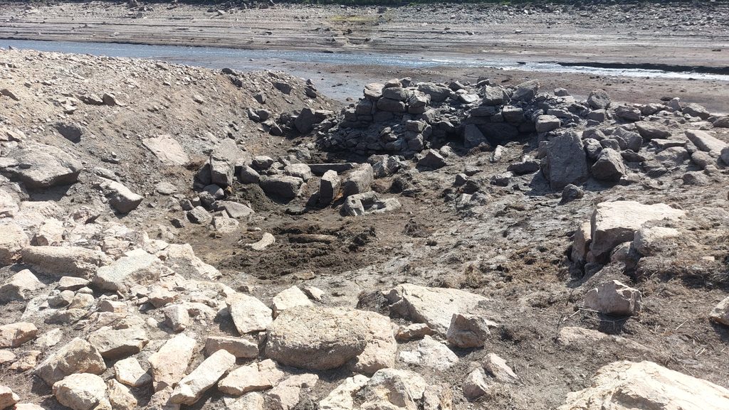
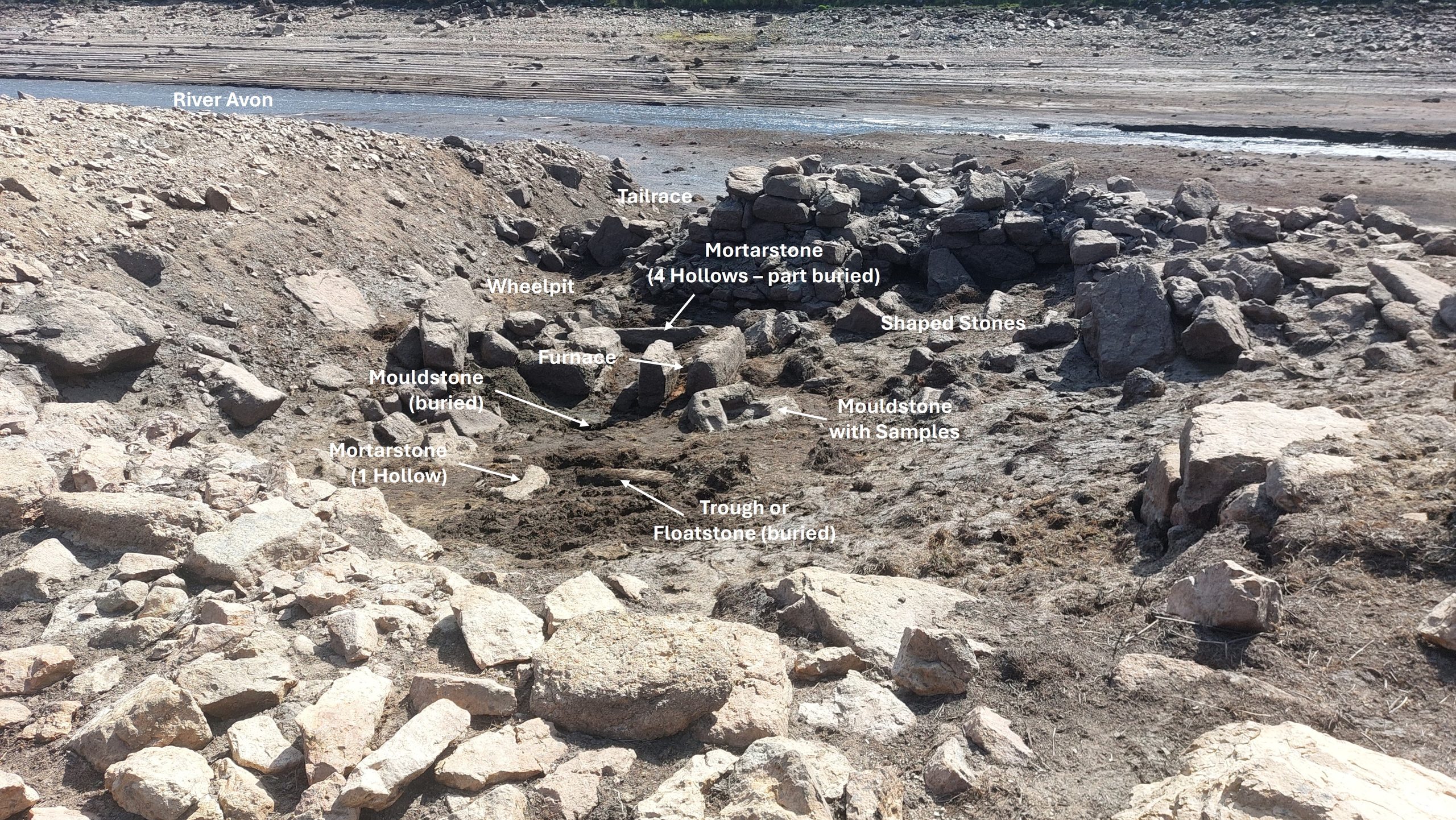
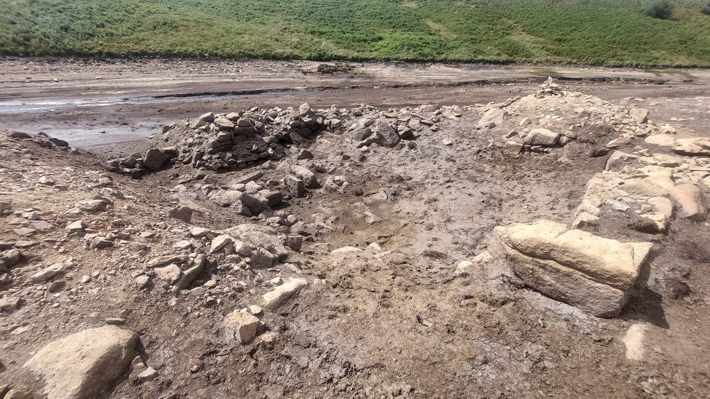
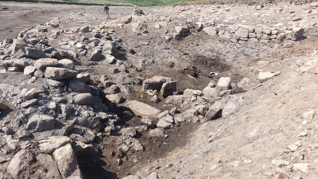
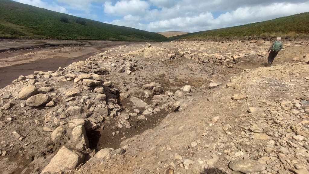
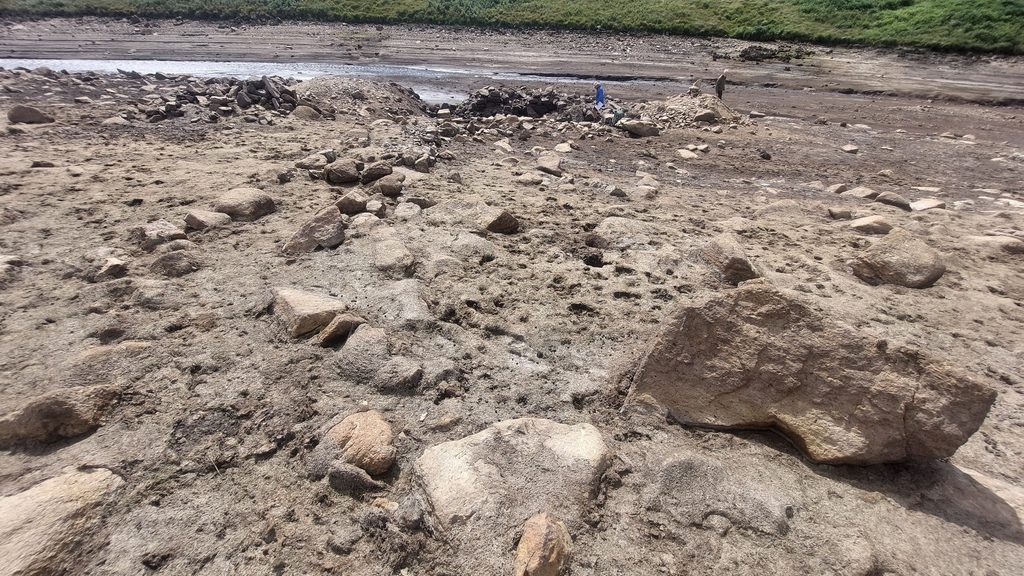
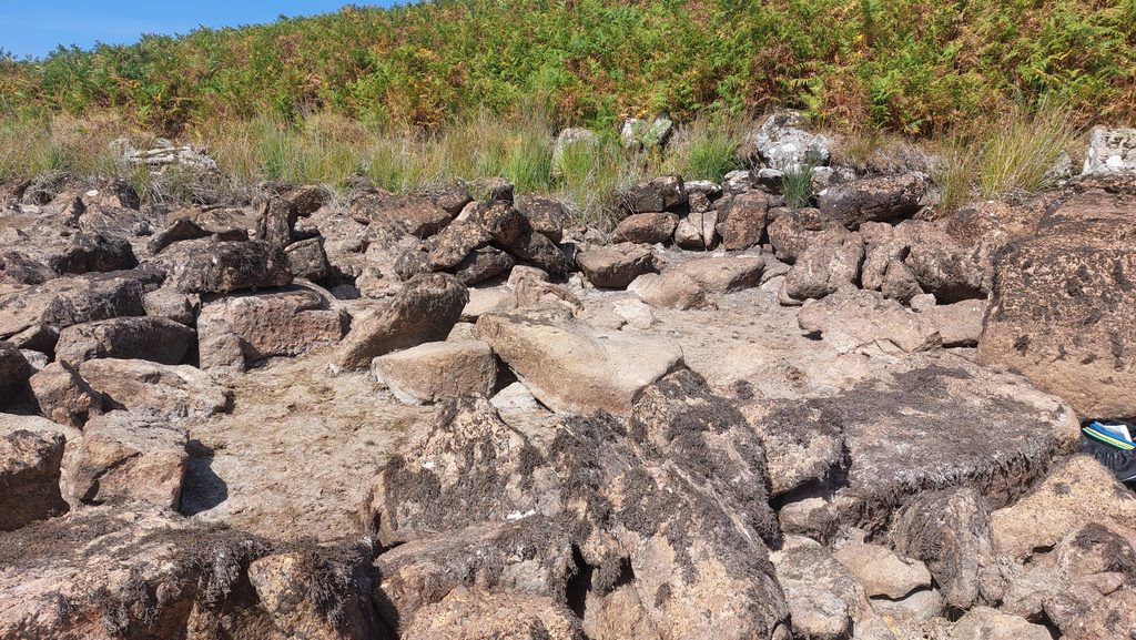
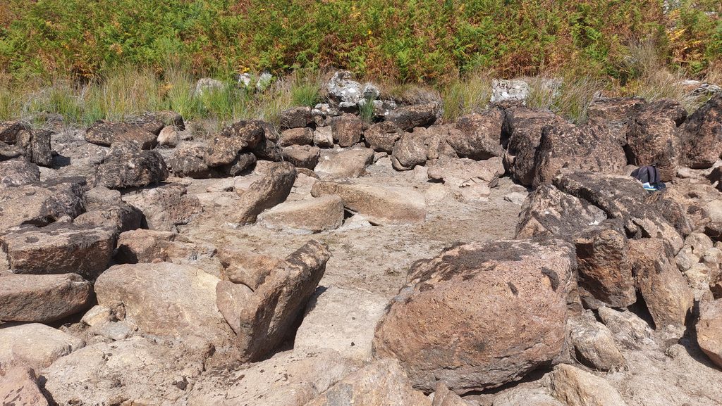
This annotated late 19th century map shows the location of the Tinners’ Mill in relation to the Avon Dam and the usual maximum water line of the reservoir. The Mill is usually about 20m from the water line and 30m from the original river water course, albeit it is only 6m from a straight artificial former river course.This sketch map is based on one produced by Robert Smerdon in 1996/7 as published in the DTRG Newsletter. It is not to scale, however, with it one can identify all the key artefacts in the locale of the Mill. Three artefacts had been buried or part buried with mud since 1996, namely; a Mouldstone (annotated C), a Trough or Floatstone (annotated D) and a Mortarstone (annotated E). There was a new Mortarstone (annotated G) found to the south east of the main structureGeneral View of the Mill from the east. The first things to note are the two ‘heaps’ to the east and west of the longitudinal axis of the main structure and secondly the Mill appears to be below ground level, no doubt for the waterwheel to have been adequately fed by a nearby leat. The result of nearly 70 years (since 1957) of silt/mud washing through the site is also very evidentOverlooking the Mill from the east side with former tin streaming evident in the background. The area has quite an eerie feel with no vegetation around as one usually encounters with similar structures and features across DartmoorLooking inside the Mill from atop the eastern ‘heap’. Some of the features which are recorded in this post are quite obvious from this angleAnother general view of the Tinners’ Mill from the east. It is centred at SX67226 65533This annotated photograph shows all the key artefacts shown in the sketch in this post including those which had been either fully or partly buried. The author has seen some black and white photographs taken by Dr Tom Greeves from 8th August 1976 which shows how relatively clear of mud/silt the Mill was at that timeThe first (and probably most important) feature in the Mill is the Furnace (annotated A on the sketch). This is one of only two sites on Dartmoor where field remains of probable upright ‘furnaces blocks’ can be found, the other being near Merrivale (lower left bank Mill), close to the River Walkham. Although R.H. Worth does not record this Mill, he does record the the Merrivale Mill in some detail. The similarities between the two sites are evident with the ‘furnace blocks’ at Merrivale being around 0.55m apart and the at the Avon Mill they are between 0.52m and 0.66m.William Crossing mentions and Robert Burnard describes the furnace at Merrivale, thus: “….remains of the furnace, consisting of massive stones placed vertically and enclosing a small rectangular space”.The left (east) ‘furnace block’ measures 0.7m long x 0.5m high and the right (west) ‘furnace block’ measures 1.05m long x 0.5m high. The Furnace would have had associated bellows to provide a forced draft which was operated by a waterwheel, thus the operator could set the furnace to work and listen to the bellows operating at any time to confirm all was well. The distance between the ‘hearth eye’ (where the bellows nozzle was inserted) and the tin hole (tap hole) was dependent on the size of the bellows and if wrongly placed would have ‘consumed’ the front part of the hearth (ref: Greeves). Greeves suggests the front part of the hearth was probably clay and that is why here (and at Merrivale) the remains are just two upright ‘furnace slabs’
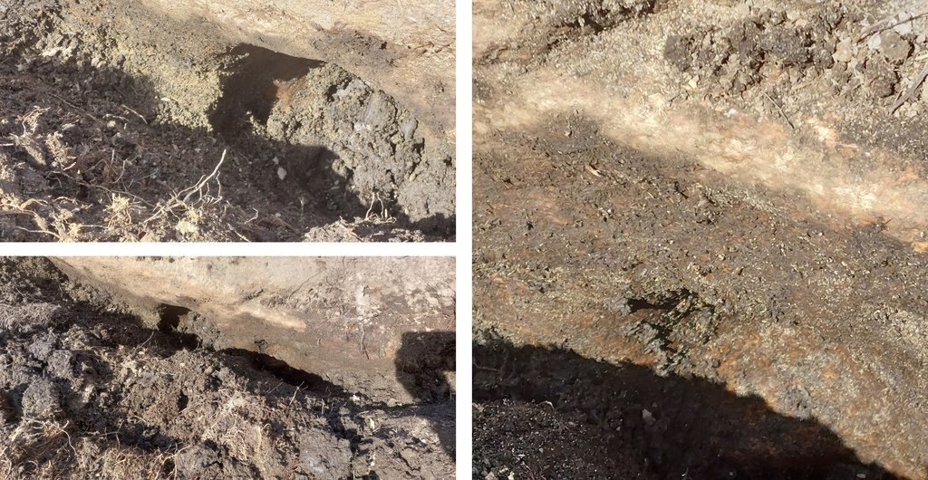
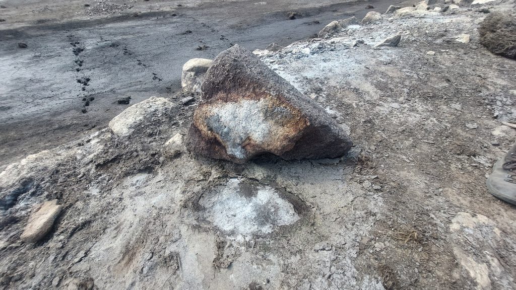
The inside of the furnace was probably made of clay and small stones (Greeves). Is the reddish colour here possibly part of a refractory clay lining or has that long since been washed away by the waters of the Avon?
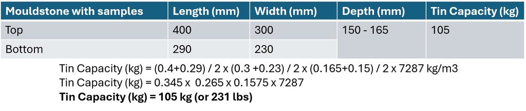
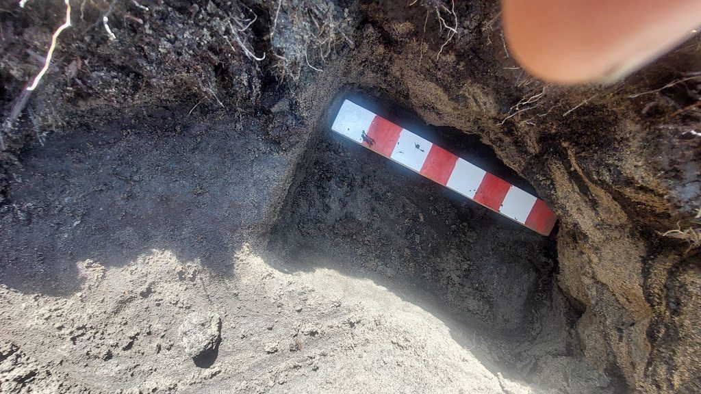
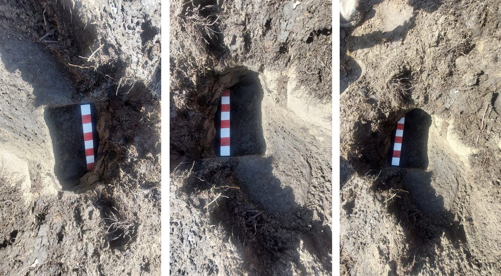
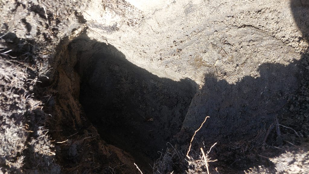
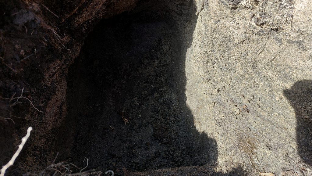
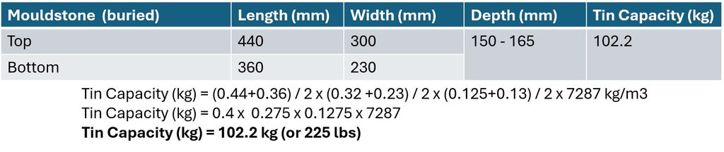
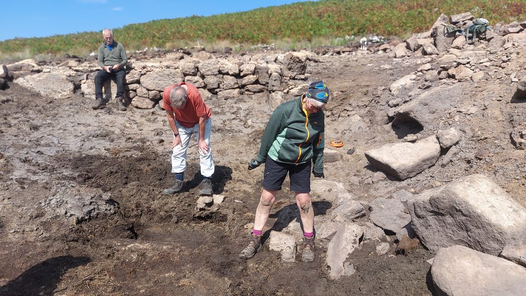
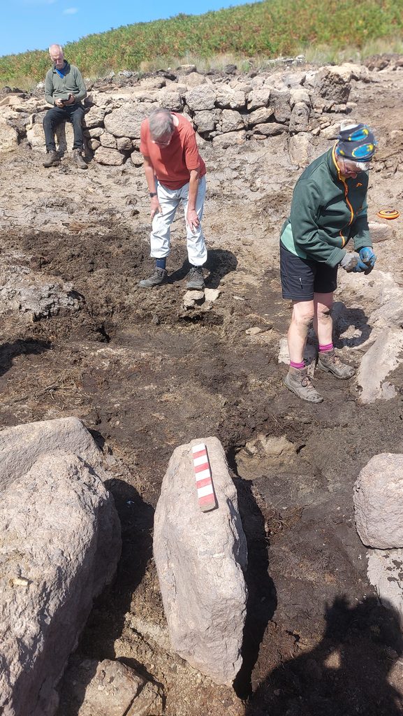
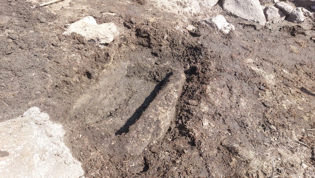
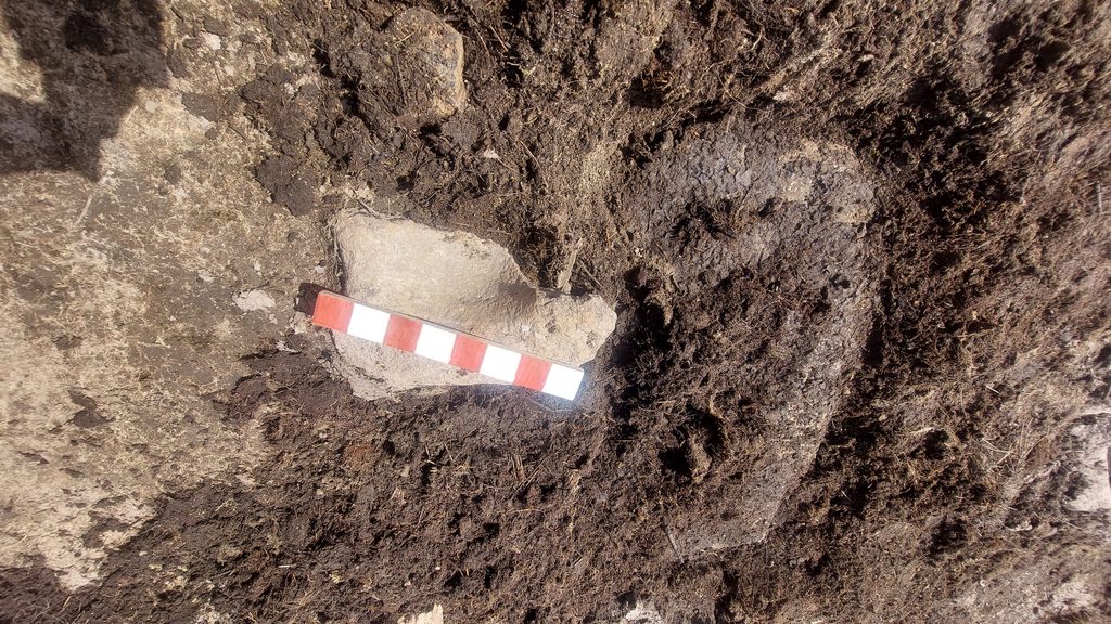
A possible piece of lining from the furnace?Next to the Furnace (A) is an obvious Mouldstone (annotated B) which includes 3 sample moulds The main mould is volume is around 0.0144 m3 which would contain 105kg (or 231 lbs) of tinThe sample moulds (as measured by Greeves) are 200mm x 105mm x 25 mm (3.825kg/8.43lbs tin), 100mm x 65mm x 27 mm (1.279kg/2.82lbs tin) and 55mm x 43mm x 15 mm (0.2585kg/0.57lbs tin)The home made measure is 400mm long and each graduation is 50mmMeasurements taken by Robert Smerdon (1996). The Mouldstone with the samples (‘B’) would have created tin ingots of around 105 kg (or 231 lbs). Note the average length, width and depth have been used with a tin density of 7287 kg/m3Using the Robert Smerdon sketch from 1996, it was noted that there ought to have been a Mouldstone quite close to the Furnace (A) and the Mouldstone with Samples (B). It is annotated as ‘C’ on the sketch map in this post. After testing the ground using a walking pole, the stone was located about 6″ (150mm) below the surface. After some digging some of the stone (and the whole mould) were exposedThe exposed Mouldstone (C). The mould volume is 0.014 m3 which would have held just over 102kg (225 lbs) of tinThe Mouldstone ‘C’ – bit difficult to photograph in the sunny conditionsAnother attempt at photographing Mouldstone ‘C’Measurements taken by Robert Smerdon (1996). The buried Mouldstone (‘C’) would have created tin ingots of around 102.2 kg (or 225 lbs). Note the average length, width and depth have been used with a tin density of 7287 kg/m3Members of DTRG in August 2026, either looking into holes or at their phone!
This picture probably needs a caption
Looking from the west with DTRG members in discussion over the buried Mouldstone ‘C’
The DTRG strapline is “Dedicated to studying Dartmoor’s unique tin mining heritage”.
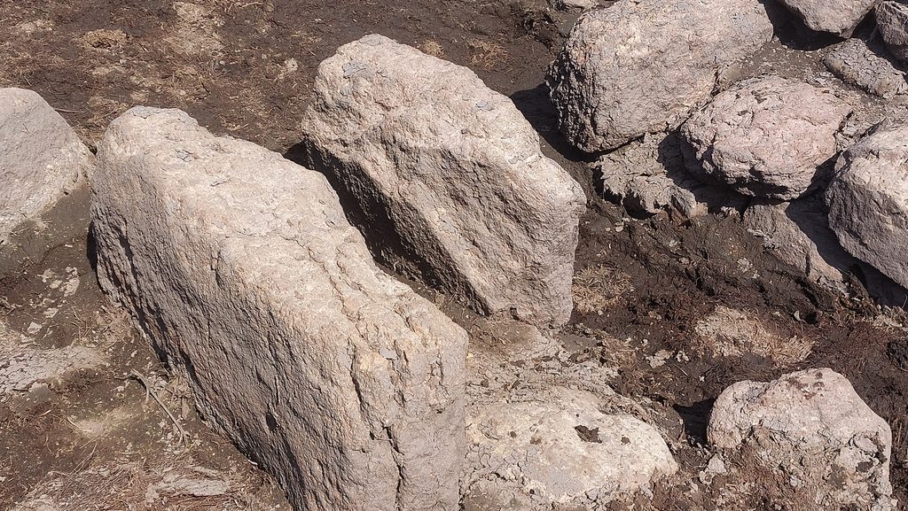
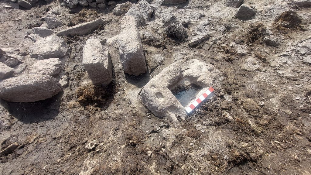
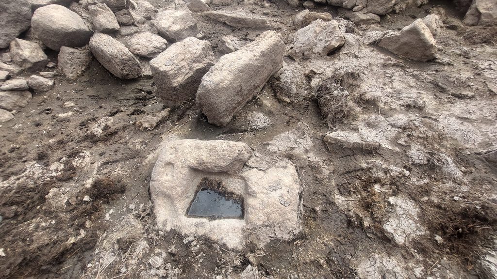
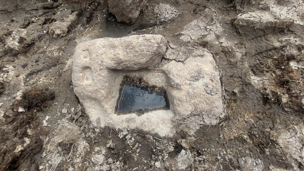
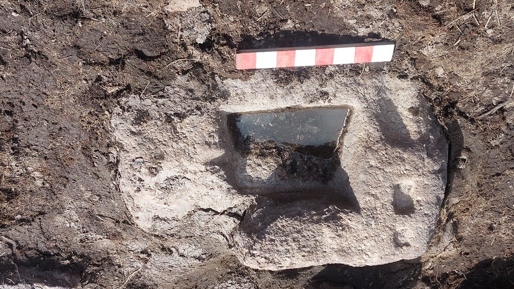
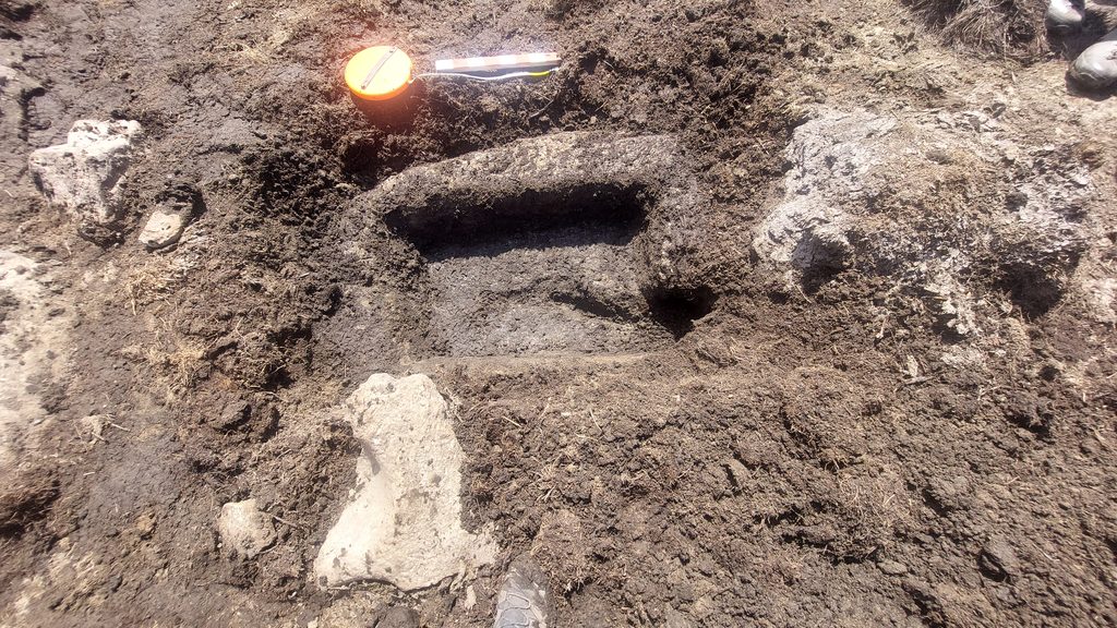
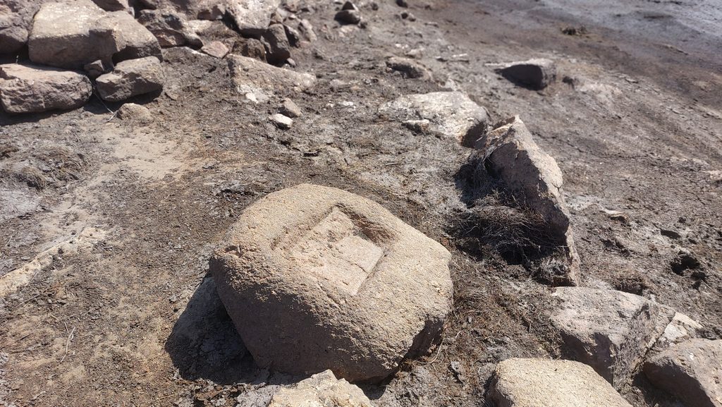
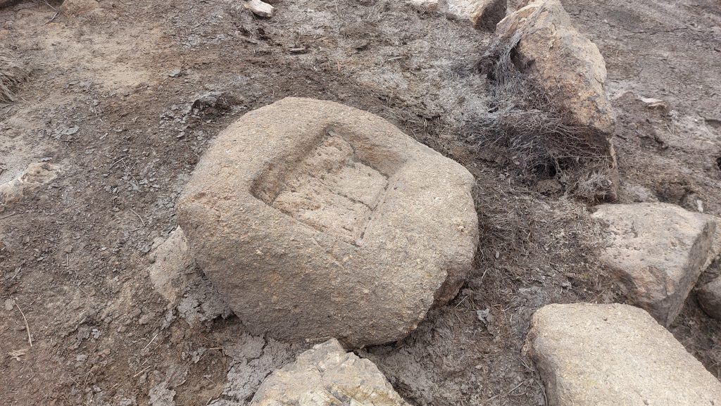
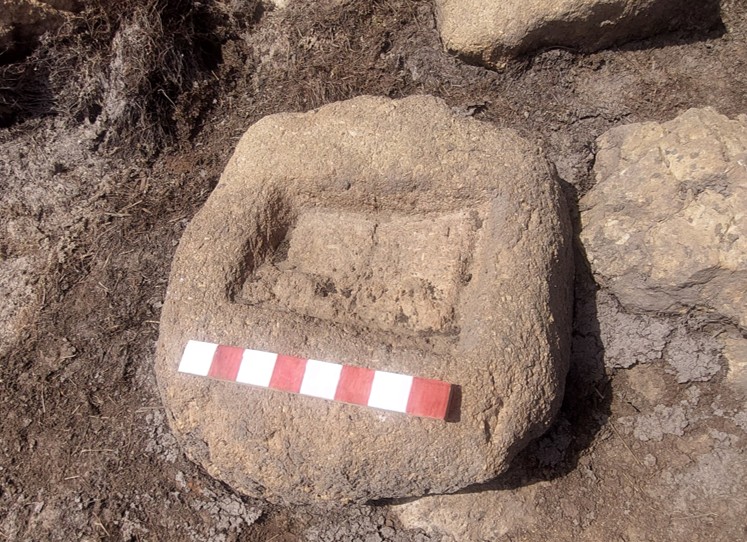
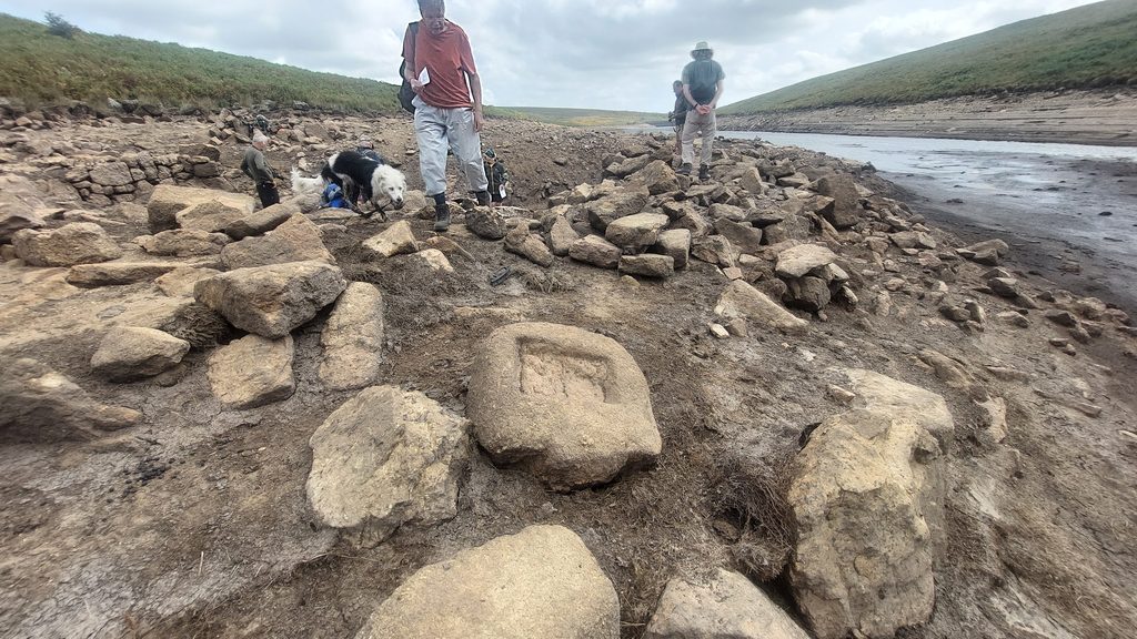
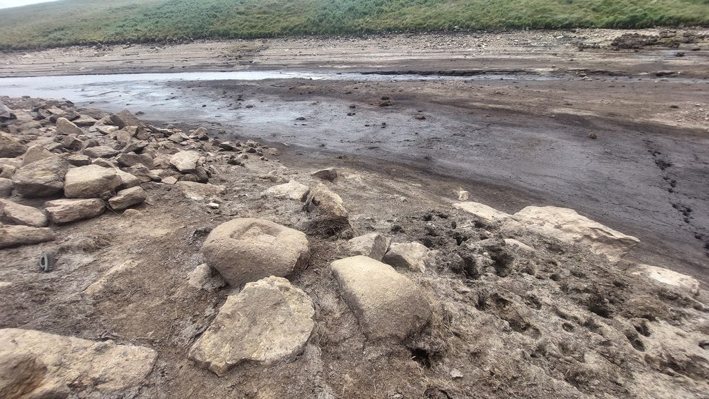
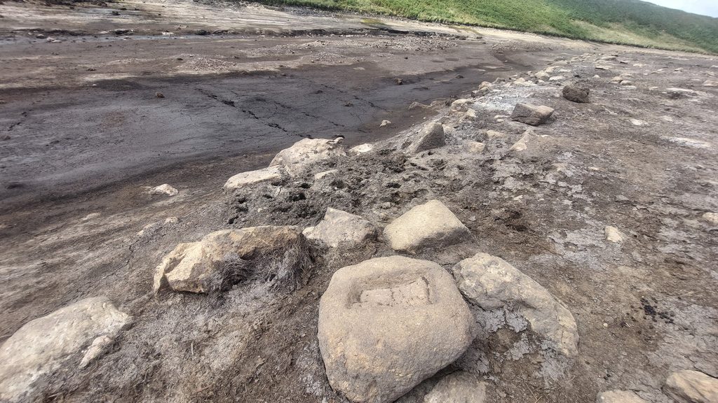
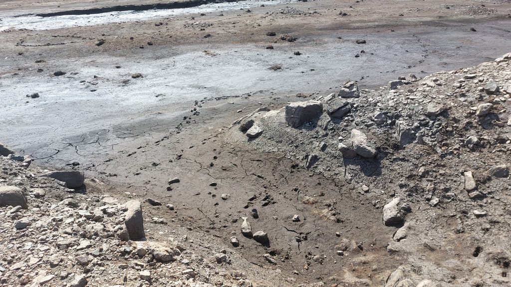
Next artefact or feature is the Trough or Floatstone (annotated D). This was also buried and required (partial) digging out.The Trough / Floatstone measures (internally) 900mm x 550mm x 125mm making a volume of 0.6188 m3. If this was a Floatstone it would have contained 450.9kg (or 994 lbs). A Floatstone would have collected the molten tin from the furnace. This identification as a Floatstone could be questioned perhaps due to the depth of the internal ‘bowl’ and its location in relation to the Furnace (unless of course it has moved).The light coloured stone next to the Trough / Floatstone is a Mortarstone (annotated as H on the sketch in this post)This picture is the Merrivale lower left bank Mill (by RH Worth). The Floatstone here is shown below the Furnace (far right). The volume of the Floatstone here is not known to the author (a return visit is needed) and so comparison with the Avon Mill is not possible here. It does look quite voluminous, so maybe the Avon equivalent is a FloatstoneTo the south of the Furnace is a large Mortarstone with 4 Hollows (2 each side). It is annotated as ‘E’ on the sketch in this post. This is evidence that the Mill once crushed ore (Stamping Mill)Mortarstone ‘E’ is around 1.2m longThe 4 Hollows of Mortarstone ‘E’. This stone would have been clear of mud in 1976 (when Greeves surveyed) and in 1996 (when Smerdon surveyed)More pictures of the Mortarstone ‘E’Outside the Mill, to the south west is a shallow Mouldstone (annotated as ‘F’ on the sketch).This Mouldstone is very crude and may never have been used. It is very shallow and may be either unfinished or abandoned during its construction
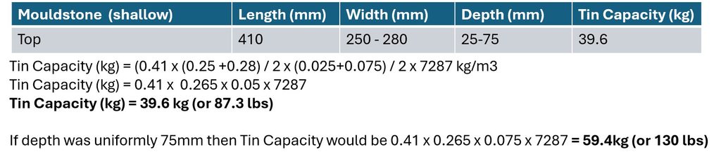
Mouldstone ‘F’ is 0.41m x 0.265m x 0.05m (using averages) which would have contained 39.6 kg (or 87.3 lbs) if it had ever been used
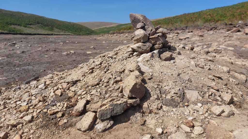
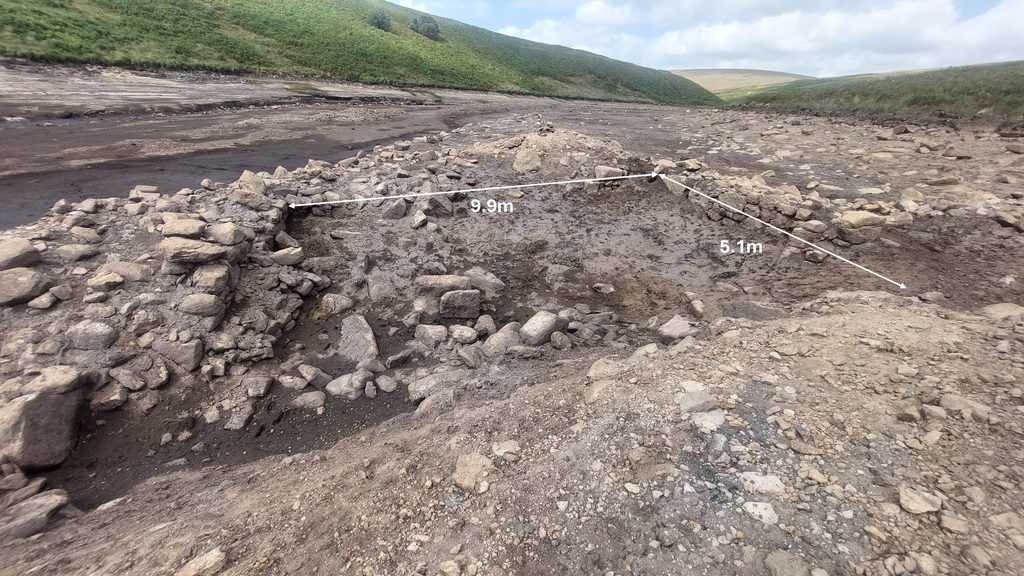
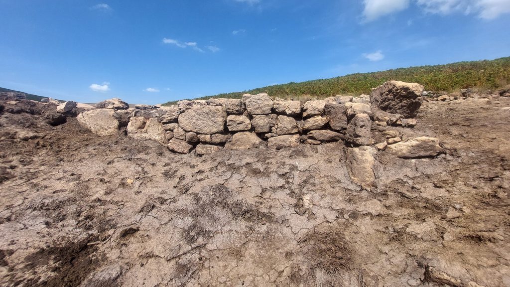
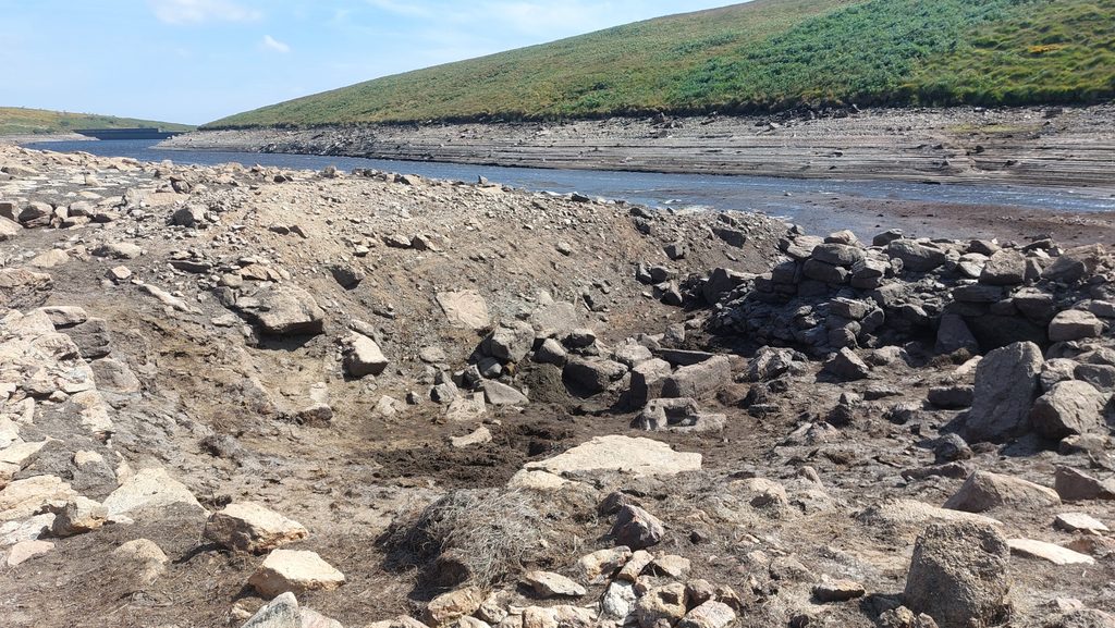
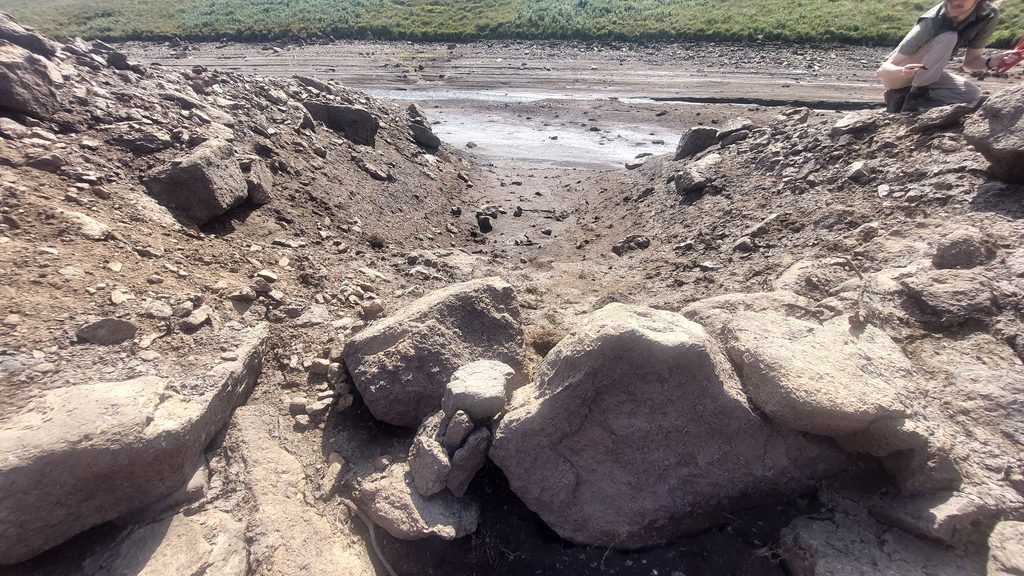
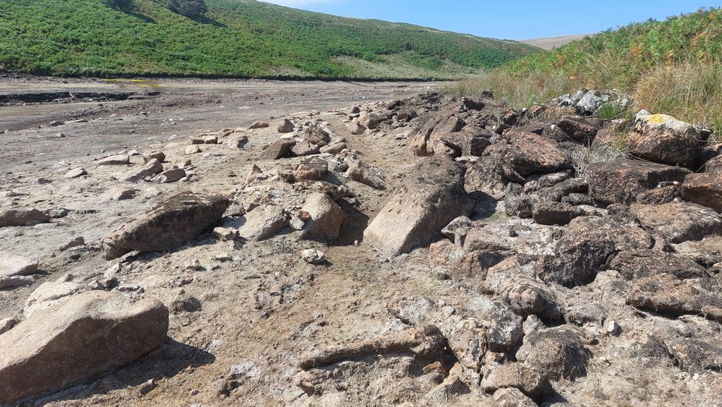
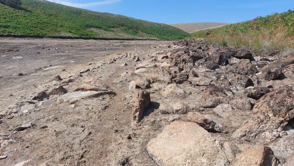
Members of DTRG at the Mill beyond Mouldstone ‘F’Mouldstone ‘F’ in relation to the former courses of the Avon. The course nearer the camera point would most likely have been the diversion dug by tin streamers. William Crossing in his Guide to Dartmoor (page 367) recorded that “Below this (the Mill), and quite near to the bank (Avon), are some upright stones, called the Three Brothers, which something of the appearance of a portion of a stone row, but they probably formed part of a reave which runs from the lowest part of the enclosures (near Brockhill Stream)”. The stones, had they still existed most likely would have appeared in this photographMeasurements taken by Robert Smerdon (1996). The shallow mouldstone would have created tin ingots of around 39.6 kg (or 87.3 lbs). Note the average length, width and depth have been used with a tin density of 7287 kg/m3. If the depth had been uniformly 75mm (and not and average of 50mm) then the tin ingots would have been around 59.5kg (or 130 ilbs)Mouldstone ‘F’ with tin streamworks (to south west) beyondMortarstone with 3 hollows (labelled G on sketch). This was not recorded by Robert Smerdon in 1996 and does not appear to have been recorded elsewhere either. The stone can be turned to see all the ‘part’ hollows (or truncated mortars). The author was shown this stone by Paul Glanville (with thanks) who had visited the site a few days earlierThe Mortarstone with 3 hollows is located at SX67217 65535South west of the Mill looking along the tinners’ artificial water courseTin streaming evidence near the MillNorth west end of the reservoir looking towards Bishop’s MeadsHeap on the western side of the MillMortarstone (annotated ‘H’) next to the Trough / Floatstone. It has just 1 hollowView across the Mill from east to west with the Avon dam in the backgroundView across the Mill from the north wallAnnotation of the previous photograph highlighting the key features from within the MillThe Mill internal dimensions are 9.9m (west wall) x 5.1m (north wall) as measured in August 2026. Hamlyn Parsons in 1956 recorded: “The building measured (internally) 32 feet 3 inches (9.83m) by 16 feet 11 inches (5.156m). The walls were 2 feet 11 inches (89cm) thick and on average 2 feet 6 inches (76.2 cm) high. It stands 34 yards (31m) from the river, but only 7 yards (6.4m) from a ruler straight artificial former river”. The north wall of the mill has around 4 courses still visible. There is likely to be at least 10 courses of stones which make up this wall. The ground drops by at least 2m to the bottom of the mill. A picture taken by Dr Tom Greeves in August 1976, shows at least another 2 courses visibleThe Mill from north west cornerThe Mill from the north east cornerThe Mill from the south east corner overlooking the wheelpit (immediate foreground). The Mortarstone ‘E’ and Furnace ‘A’ beyondThe Wheelpit. It is thought the wheel would have been 8-10 feet (2.4m – 3m) with a width of around 3ft (1m)Beyond the stones in the foreground is the TailraceThe Tailrace, the artificial water channel and the Avon original water course beyondOutline of the Leat Embankment leading to the east side of the Mill. The Leat Embankment is around 0.5m above ground here. As the ground to the east of this point is on a very shallow slope, the Mill had to be ‘dug-in’ to enable a water wheel, albeit a small one to have been fittedThe former leat course leading east towards Bishop’s MeadsThe Leat Channel, of course would have been slightly higher previously due there having been vegetation. One might imagine William Crossing once strolled alongside this leat course.The Rough Built Shed (as described by Smerdon). Greeves describes it as a Ancilliary Lodge/BuildingThe Rough Built Shed is located at SX67241 65553
Great work Steve! Your meticulous research of sources and acknowledgement of previous researchers and their contributions is greatly to be admired, as is the photographic record and mill drawing.
It would be good to know if Robert Smerdon is still around – I’m sure he would appreciate his work being recognised.


David Eeles August 27, 2026
Great work Steve! Your meticulous research of sources and acknowledgement of previous researchers and their contributions is greatly to be admired, as is the photographic record and mill drawing.
It would be good to know if Robert Smerdon is still around – I’m sure he would appreciate his work being recognised.
SteveGriggDartmoor August 27, 2026 — Post author
Thank you David for your kind words. I would like to think this pictorial record would have met the approval of Fox, Parsons, Crossing et. al
Also, I hope Robert and Tom would approve following their research in 1976 and 1996
I do hope others will enjoy the post as well
With regards,
Steve