A collection of walks, discoveries, insights and pictures of exploring Dartmoor National Park
July 14, 2026
Swincombe Tinners Mills and Huts
Land adjoining the newtakes of Tor Royal and Fox Tor and common land around Fox Tor Mire and the River Swincombe and Strane were acquired in the 1930’s by South West Water from the Duchy in preparation for the building of a proposed Swincombe reservoir. It is at the location where the proposed dam would have been built across a small valley (known as ‘the boiler’) that numerous Tinners’ features and buildings remain and provide and intriguing glimpse into the medieval and post medieval period. The land here is now owned by the Dartmoor Preservation Association (DPA) who fought and finally succeeded in preventing the building of the reservoir (circa 1975)
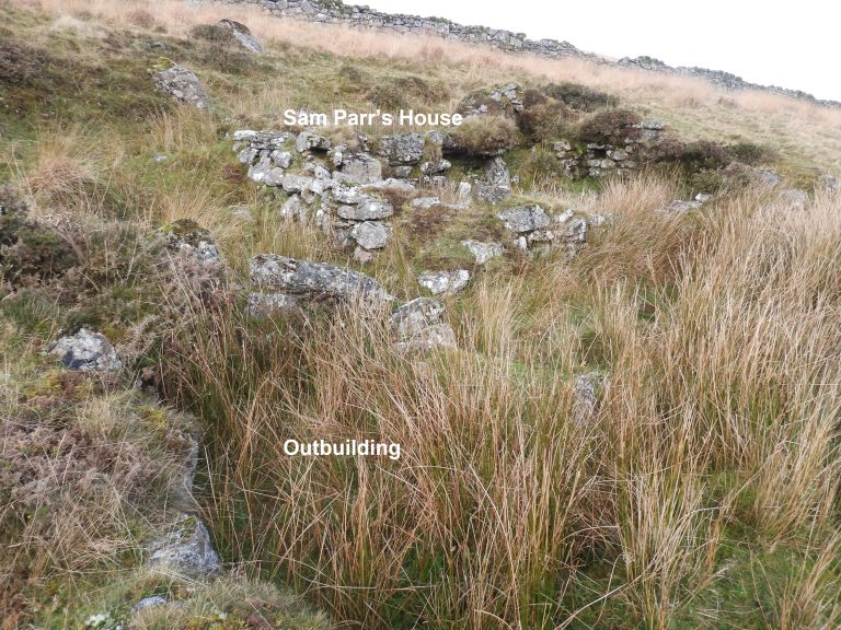
In the area there are up to possibly five Tinners’ Buildings namely; three Tinners’ Huts (1-3) and two Tinners’ Mills (1-2), which are each considered in this post. Tinners’ Hut 1 was recorded by Tom Greeves (2010) and Tinners’ Hut 2 was recorded by R.G. Haynes (1969); both are unremarkable. That said, the location of Tinner’s Hut 2 may well be a transcription error of the grid reference in the Devon HER. Tinners’ Hut 3 is interesting as it contains an 18th century inscribed stone and was re-purposed in the 19th century for occupation and includes an outbuilding. It was occupied by Sam Parr and his family around 1840 and subsequently is known in modern times as ‘Sam Parr’s House’.
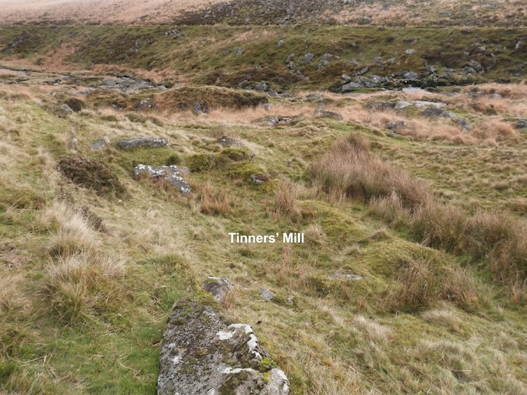
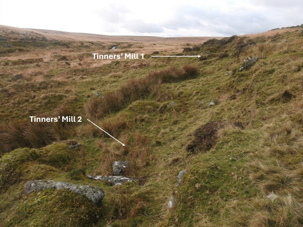
Tinners’ Mill 1 (at SX6238 7114) is a substantially built rectangular structure, which has been re-purposed with the addition of a cross-wall, an outbuilding and an enclosure. It would seem likely that the building was re-purposed for occupation and was used as a smallholding. The Mill is labelled as number 149 in Dr Tom Greeves ‘Lodges and Mills: The Field Archaeology of Tin Accommodation, Stamping and Smelting on Dartmoor’. It is also recorded by Royal Commission for Historic Monuments of England (RCHME) as a Tin Processing Mill.
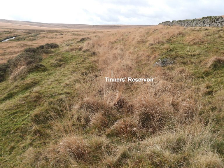
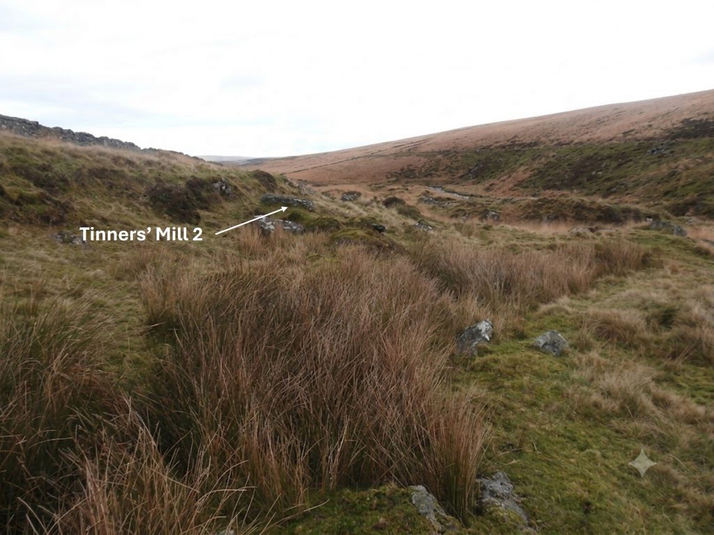
Tinners’ Mill 2 (35m to the east of Mill 1 at SX6242 7115) comprises a very ruinous building and was also recorded by RCHME as a probable tin processing mill. It too appears to have been re-purposed and it has an outbuilding. It is curious why there would have been two tin processing mills so close together. That said, field evidence of a dry leat and Tinners’ Reservoir above the structures and the locations of possible wheelpits does seem to support this interpretation.
In spite of all the interpretations of the Tinners’ Buildings no mortar or mould stones have been found in the area which would confirm that stamping / smelting was taking place here.
Bibliography
T.A.P. Greeves – (2010) – Tinners Building (Worksheet). SDV346461
Dr Tom Greeves – (2016) – ‘Lodges and Mills: The Field Archaeology of Tin Accommodation, Stamping and Smelting on Dartmoor’ – Mill 149
Royal Commission for the Historical Monuments of England (RCHME) – (1987-1993) – Duchy Farms Project Survey Visit, S. Probert (Report – Survey). SDV350839
Stephen Holley (Dartmoor Tinworking Research Group Chairman) – (July 2026) – Pers. Conv.
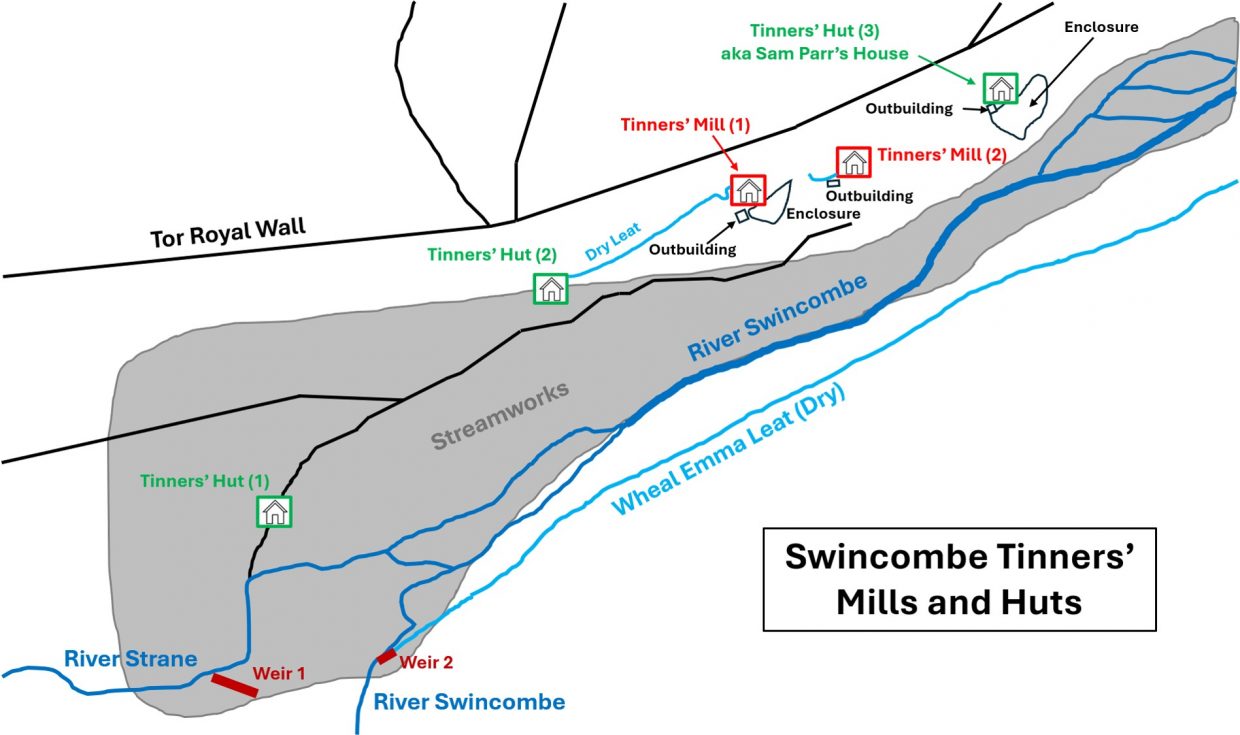
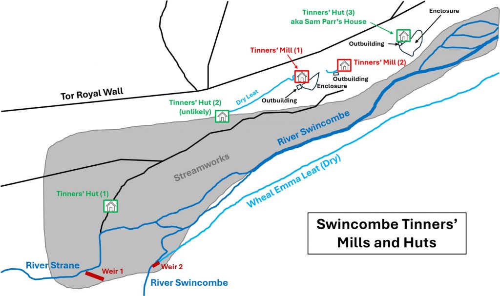
The Swincombe Tinners’ Mills and Huts lie on the north side side of the river near some streamworks as indicated in the above sketch. On the opposite side of the river is the take off point and subsequent start of the (now dry) Wheal Emma Leat. Tinners’ Mills (1-2) and Tinners’ Hut 3 lie in an east /west line along the foot of the tinners ‘cliff’ marking the north edge of the streamworkings in the Swincombe valley
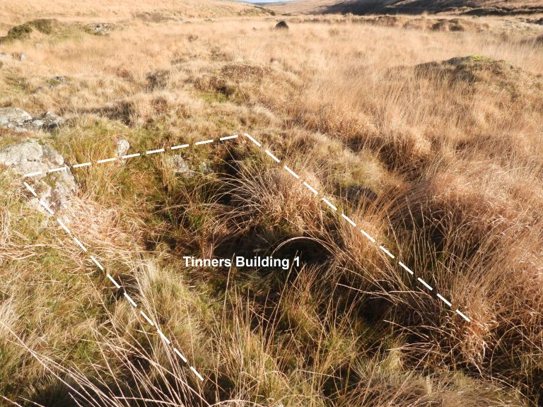
Within the 50 acre DPA landholding at Swincombe lies a numbers of tinners’ buildings (huts and mills). The huts are marked 1-3 (with hut 3, also known as Sam Parr’s house) and mills 1-2 on the sketch map. Tinners’ hut 1 is described (Greeves – 2010) as being “small and indistinct but well-preserved. It is recorded as measuring approximately 3.0 by 2.0 metres internally and has walls 0.5 metres wide. There is an entrance gap in the south-east wall. Walls survive to a maximum height of about 1.0 metres in the north corner”. This building may be 16th / 17th century. It can be located at SX62196 71002.
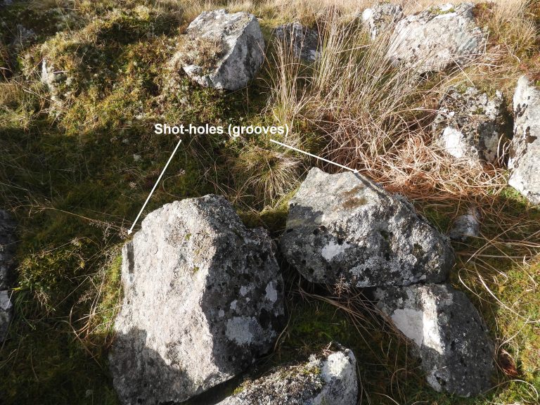
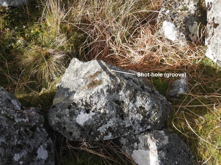
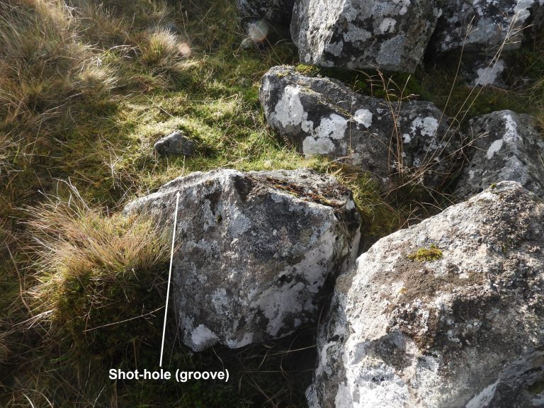
A short distance from Tinners’ Hut 1 lies some large boulders with shot-holes caused by blasting with gunpowder. Most likely from the 19th century.
Close up of shot hole
The group of boulders with the shot-holes (grooves) can be found at SX62194 71012
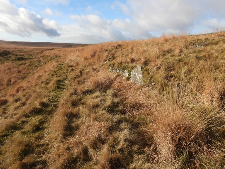
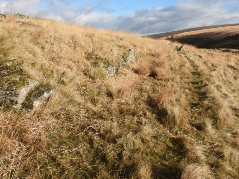
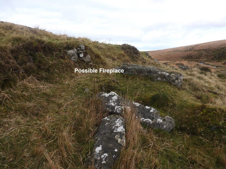
Tinners’ Hut 2 (ref sketch map at start of this post) was noted by Haynes (circa 1969) and described as a “Ruined building probable dwelling north with enclosure to west, possible fireplace to east. The only possible location (using the Devon HER as guidance) the author has found was at SX62295 71101 with this section of walling. This location is as mapped by the Devon Historic Environment Viewer and may well be in error. It is probable that the Haynes description is alluding to Tinners’ Mill 2. The Devon HER record the location as SX623 711, where as Tinners’ Mill 2 is at SX624 711, so only one ‘digit’ out – perhaps a typing error? The Haynes description with the possible fireplace ‘fits’ the field evidence of Tinners’ Mill 2
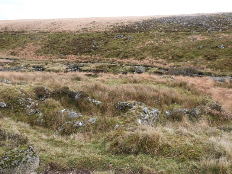
The (unlikely) location of Tinners’ Hut 2 looking towards the ‘Boiler’. The location is part of a dry leat which looks as if it once served several Tinners’ Buildings further down the valley
Above (to the north) of the Tinners’ Mill 1 (ref: sketch map) is a leat only 1.0 metre wide and 0.3 metres deep which supplied a small irregular reservoir which was recorded at SX62373 71142.
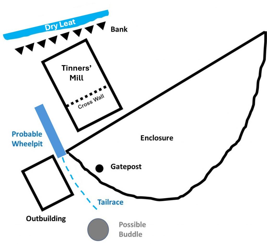
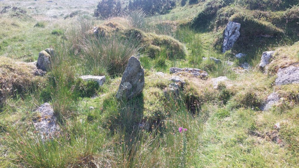
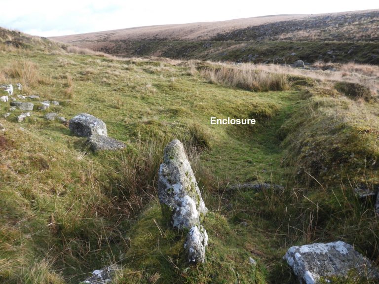
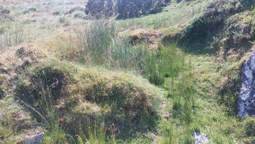
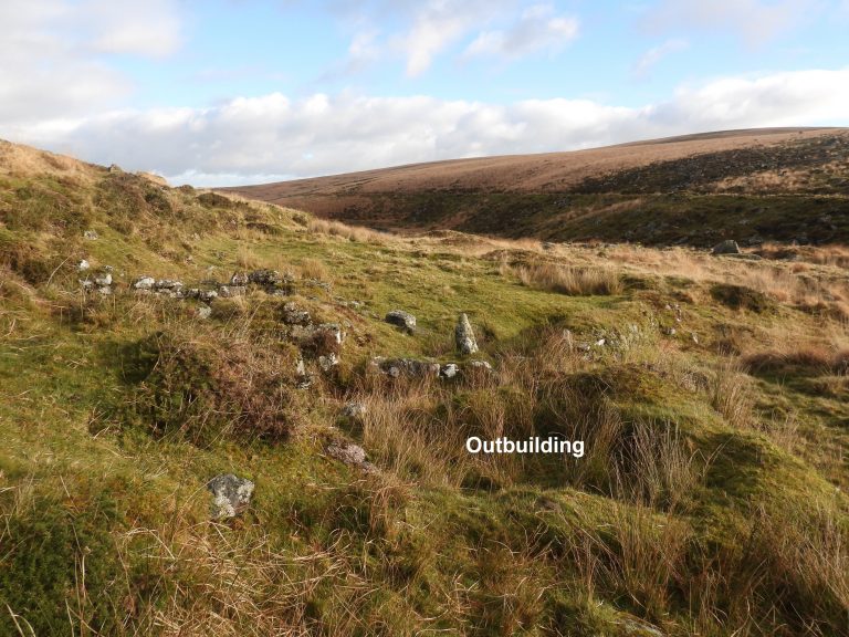
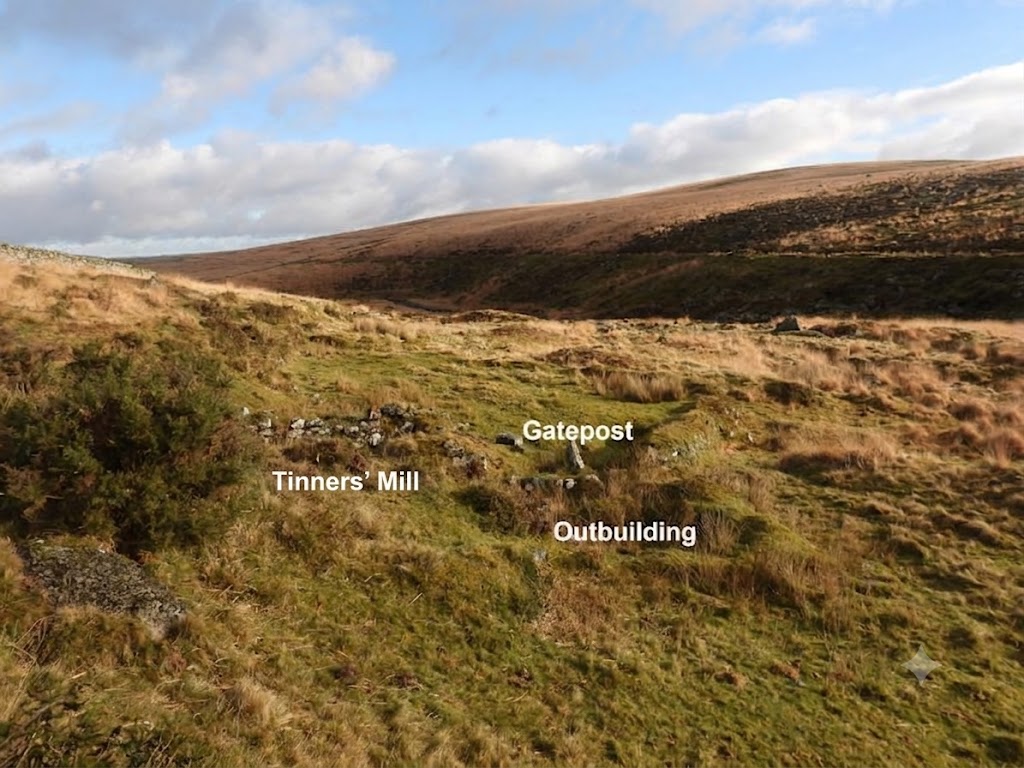
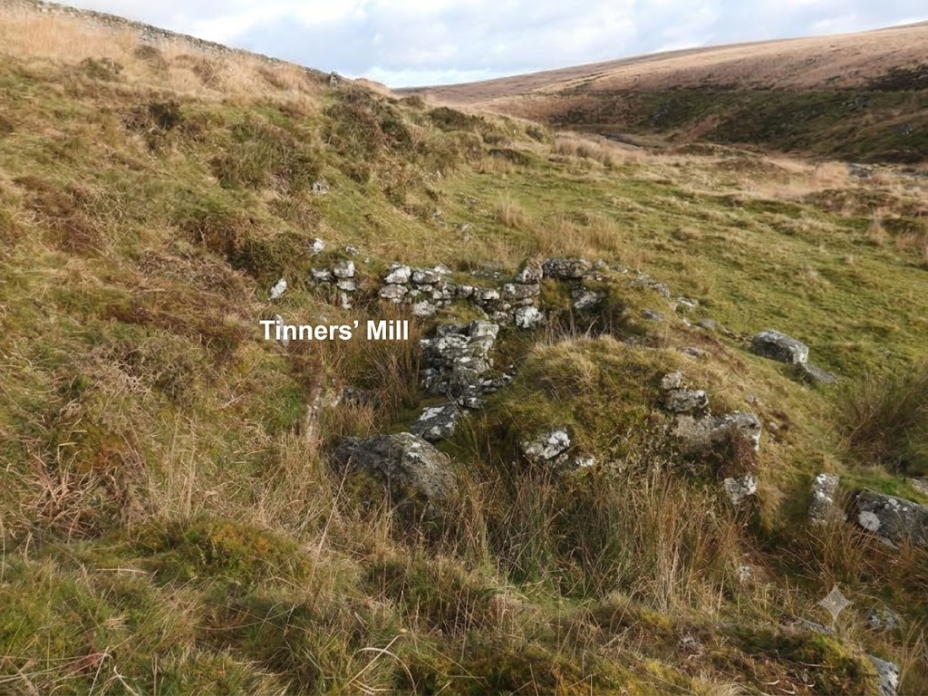
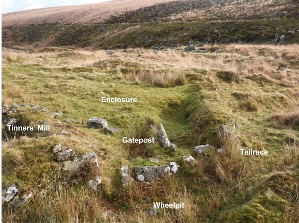
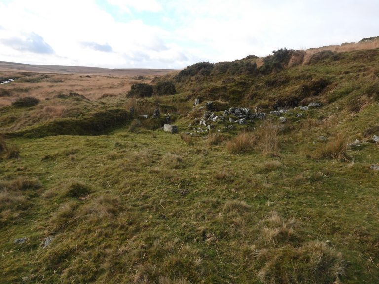
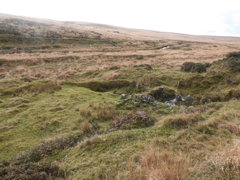
The third location of Tinners’ Building(s) is marked as Tinners’ Mill 1 on the sketch map. In actual fact, there is more than just one building at this location as indicated by the simple sketch plan above. The field evidence suggests at two phases of occupation. Firstly a Medieval or early post-Medieval Tinners’ Mill then a re-purposing of the structure with an crude cross wall added, with an outbuilding and an enclosure. These later additions possibly are from 18th century (there is a date inscription in a building further down the valley of 1753, which might help provide a timeline). The building with the date inscription also looks like a re-purposed Tinners’ Building (ref: Tinners’ Hut 3 in this post)Looking down on Tinners’ Mill 1. Note the streamworks beyond plus the line of the dry Wheal Emma Leat. The Swincombe flows between the dry leat and the stream works. Dr Tom Greeves has annotated this structure as Tinners’ Mill number 149 (ref: Lodges and Mills: The Field Archaeology of Tin Accommodation, Stamping and Smelting on Dartmoor). That said, he questions if there is a wheelpit or dressing floor here, which other observers (RCHME) suggest there is.Tinners’ Mill 1 structure as viewed from its east side. The additional crude cross-wall can just be made out in the photographGatepost marking the likely entrance into the enclosure and Tinners’ Mill 1
The Gatepost is located at SX62376 71132.
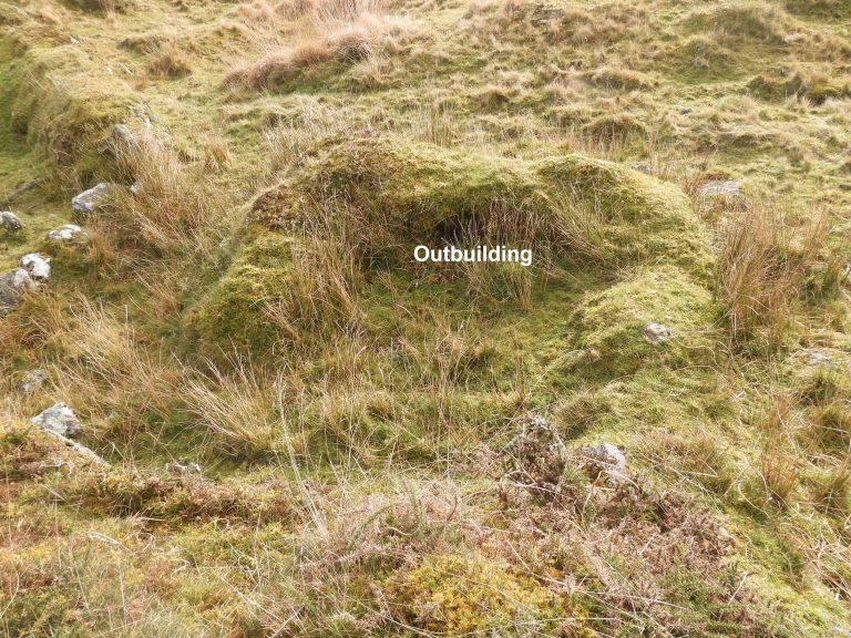
The thick walling of the outbuilding of Tinners’ Mill 1 complex. The outbuilding recorded as measuring “2.8 metres north to south by 2.0 metres internally with an entrance in the north-east corner”.
View of Tinners’ Mill 1 as viewed from the west side
This photograph was taken from the north, so the entrance of the outbuilding is ‘bottom left’ from this view. This outbuilding is located at SX62373 71130.
Tinners’ Mill 1 in July 2026, taken during a Dartmoor Tinworking Research Group (DTRG) walkView of Tinners’ Mill 1 ‘cross-wall’. The Mill is described by RCHME as being a “substantially built rectangular structure measuring 5.7 metres north to south by 2.5 metres with an entrance in the centre of the west side. A crudely constructed cross wall, probably not an original feature, now sub-divides this building”. The centre of this building is located at SX62378 71136.View of Tinners’ Mill complex from the west. The Swincombe and Wheal Emma leat can also been seen in this photographMain Mill building as viewed from the westThe Tinners’ Mill 1 structures seem to have been refurbished for habitation. The outbuilding would probably have been added in the 19th century as would the adjacent enclosure. It would seem likely that a smallholding was created and may have been occupied by workers in the tin industry which at that time was flourishing at Whiteworks Mine 1 one kilometre to the west.
Tinners’ Mill 1 complex as taken from inside the enclosure. The middle of the enclosure was measured at SX62383 71128.
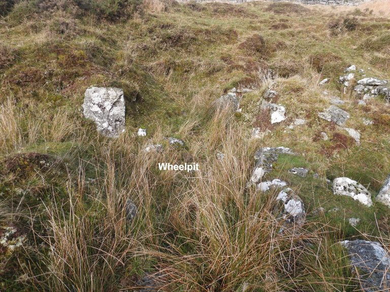
Next to the west wall of the main Tinners’ Mill building is a rectangular hollow described by RCHME as being “5.0 metres north to south by 2.0 metres, probably the site of a wheelpit but now allowing access to the building”.
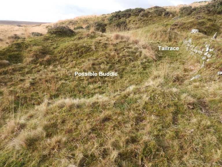
To the south of the probable wheelpit lies the (probable) tailrace and also a possible buddle. The buddle was measured as being at SX62383 71122. The turf and stone bank of the enclosure overlies the tailrace
Looking south west across Tinners’ Mill 1 complex
Tinners’ Mill 2 can be found to the east of the Tinners’ Mill 1. This is described by RCHME as being “a very ruinous building measuring 6.1 metres east to west by 4.3 metres with an entrance positioned centrally in the south side”. It can be located at SX62415 71148.The relative locations of the two Tinners’ Mills, looking west.
The remains of a fireplace in the east end of Tinners’ Mill 2. Is this what Haynes observed in 1969?
A platform 9.4 metres east to west by 1.4 metres and 0.3 metres deep lies 3 metres to the south of Tinners’ Mill 2 and would appear to be a silted wheelpit. Ref: RCHME
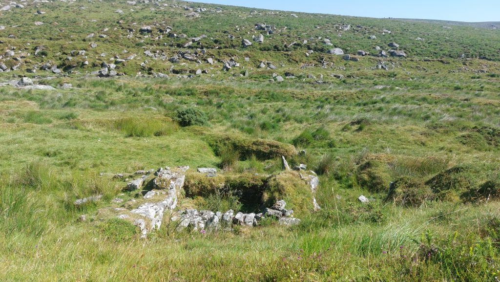
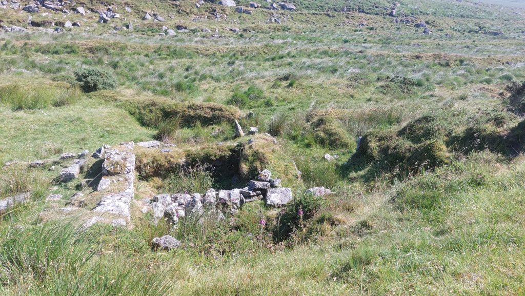
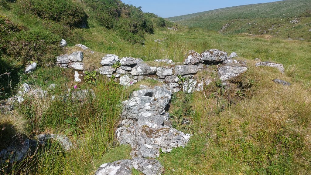
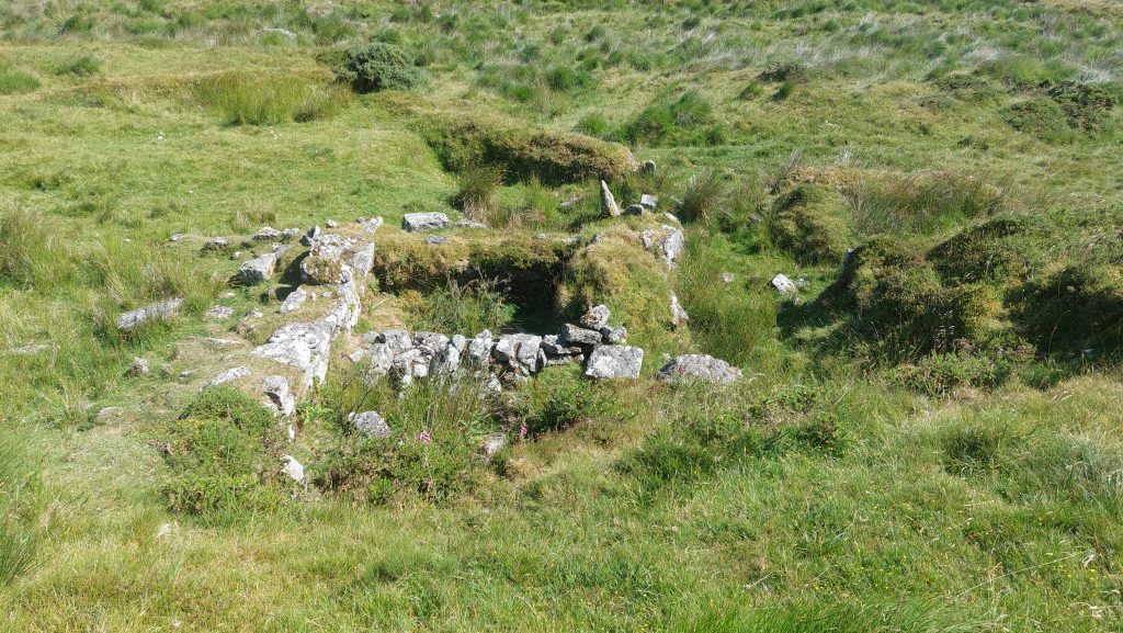
Tinners’ Hut 3 (aka Sam Parr’s house with outbuilding). The 1841 census return indicated the Parr family were living in this converted Tinner’s Hut by which time had acquired the name of Stream Cottage. The Parr family had moved in circa 1840. The main building is located at SX62479 71187.
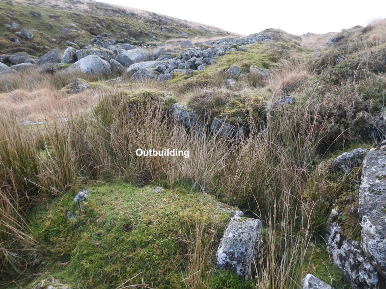
The outbuilding measures 2.4 metres north to south by 1.5 metres with an entrance in the north-east corner. It is located at SX62472 71172.
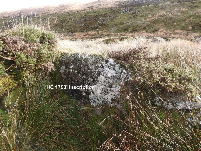
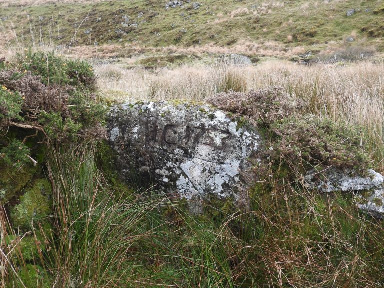
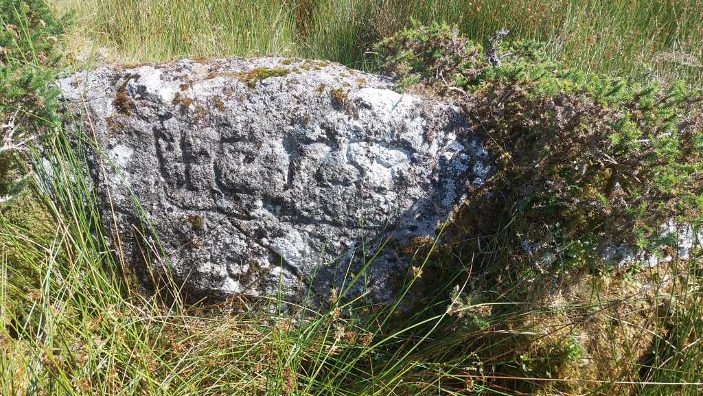
In the south east corner of Sam Parr’s house is a large inscription on one of the granite blocks.
The ‘HC 1753’ inscription enhanced with a mud makeover. The cross bar of the “H” doesn’t look complete. Some observers suggest the date is 1758. The author believes its 1753. This inscription certainly provides an historic reference point
July 2026 – The ‘HC 1753’ inscription
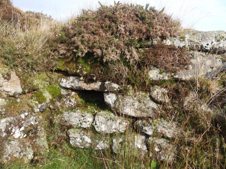
Sam Parr’s ‘Keep Safe/ Cache’ or ‘Candle Niche’.
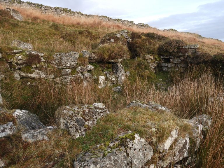
View of Sam Parr’s house looking from the north towards the Swincombe. The line of Wheal Emma leat can be seen on the opposite bank.
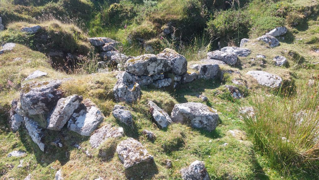
RCHME description: “……..building measuring 6.2 metres south-west to north-east by 3.5 metres with an entrance placed centrally in the south-east side. A recess in the northern corner probably marks the site of the chimney”.
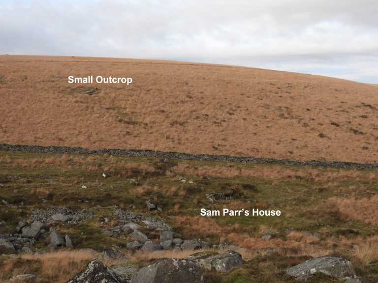
View across the Swincombe to Sam Parr’s House and a small outcrop above the Tor Royal newtake wall