A collection of walks, discoveries, insights and pictures of exploring Dartmoor National Park
April 4, 2026
King’s Oven Mine
King’s Oven has for nearly 800 years been synonymous with the boundary of the forest of Dartmoor and has been debated by notable Dartmoor researchers, guides, recorders and authors as to exactly what the ‘oven’ was and more importantly where it was located. It was named Furnum Regis in the 1240 Permabulation of Henry III, with the literal translation being “oven to the king”. In the later Perambulation of 1608 the name had changed to Kinges Oven or King’s Oven.
Some believe that Furnum Regis refers to an ancient blowing house, from the fabled King Arthur’s era, sometimes referred to as King Arthur’s Oven. Most of the well known Victorian Antiquarians and the modern OS map place King’s Oven on the south eastern slopes of Water Hill, whereas some evidence suggests it is the cairn on Water Hill. More information on this topic can be found by following this link:
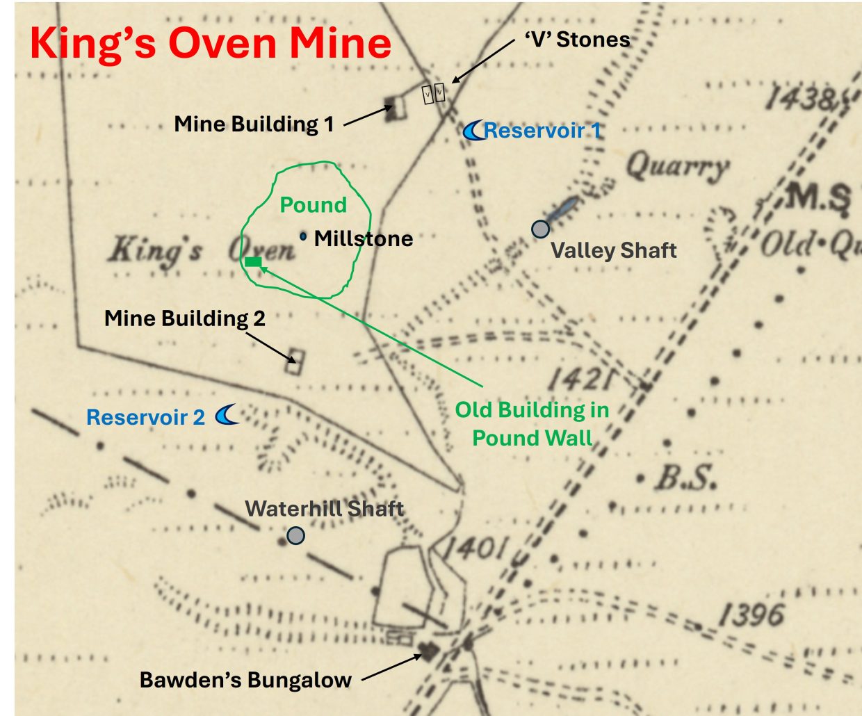
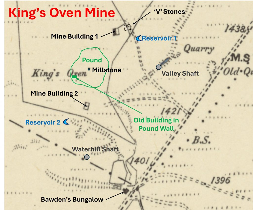
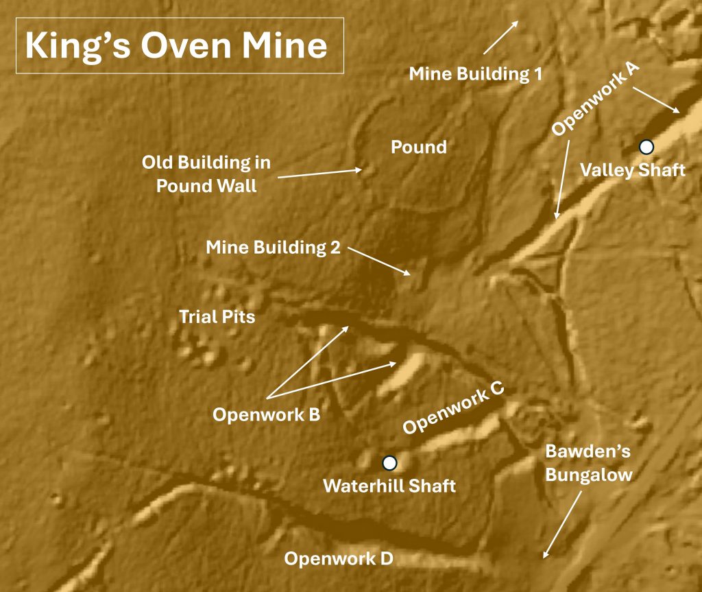
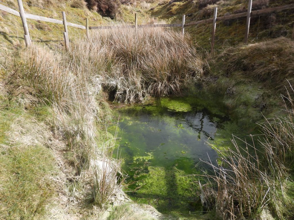
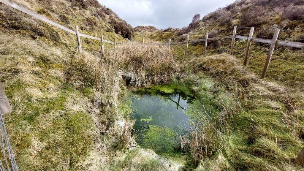
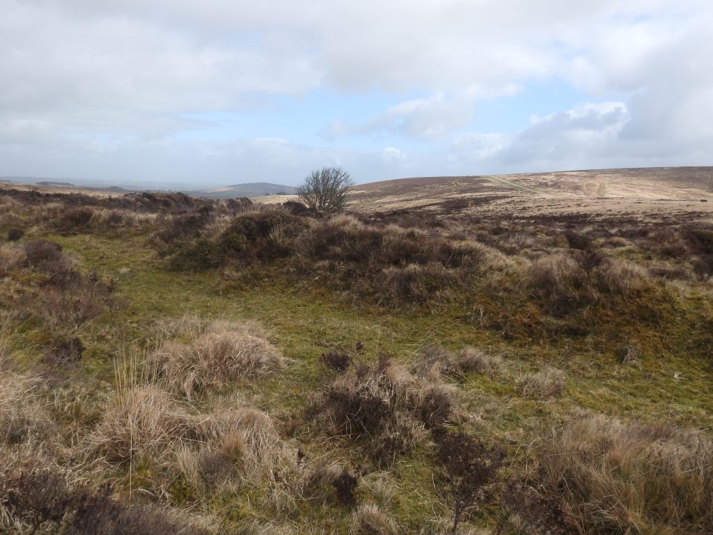
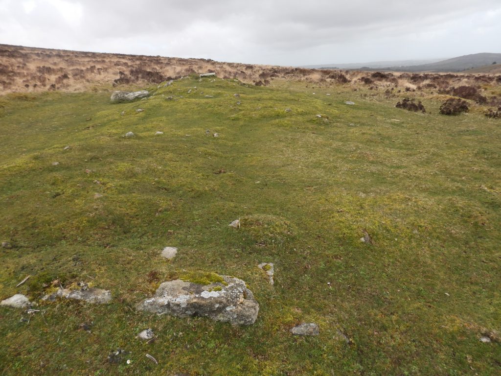
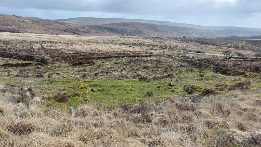
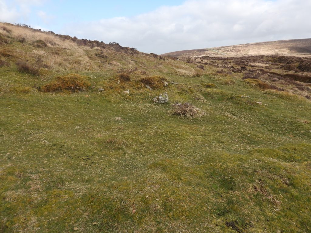
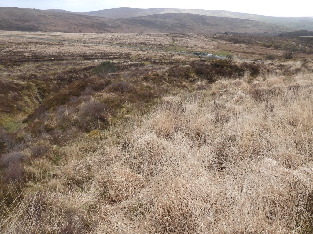
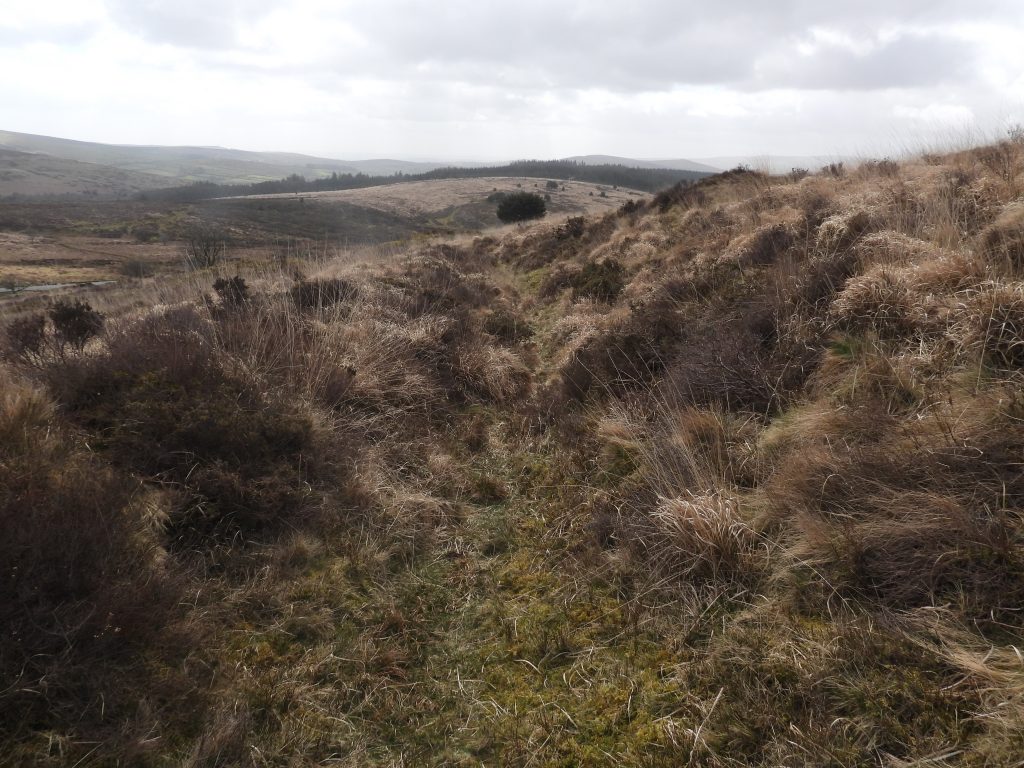
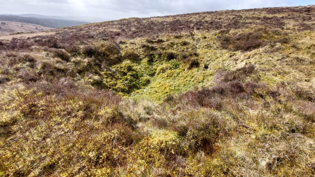
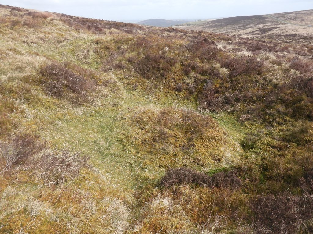
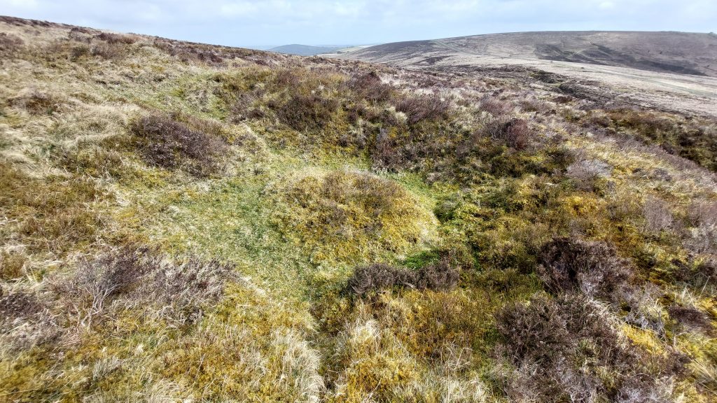
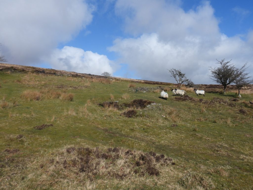
King’s Oven Mine covered in this post is a very poorly recorded mine which dates from the 1860s and is located on the south-east slopes of Water Hill where evidence from that era comprises several blocked shafts, trial shafts, two buildings and two mystery stones containing deep ‘V’ channels chiselled into their surface. There are also a number of deep open works and two tinners’ reservoirs in the area which pre-date the mine and are of probable post medieval period. Other features in the area include a Bronze Age Pound with an unfinished millstone at its centre and a building built into its walls.
Bibliography
Phil Newman – (2002), Headland Warren and the Birch Tor and Vitifer Mines (Report – Survey). SDV363213.
Jeremy Butler – (1991) – Dartmoor Atlas of Antiquities: Volume Two – The North, 34-5, Map 26, Figure 26.1 (Monograph). SDV219155
Samuel Rowe – “A Perambulation of Dartmoor”, Page 195
William Crossing – (1912) – Guide to Dartmoor, Page 247
Eric Hemery – (1983) – High Dartmoor, Page 706
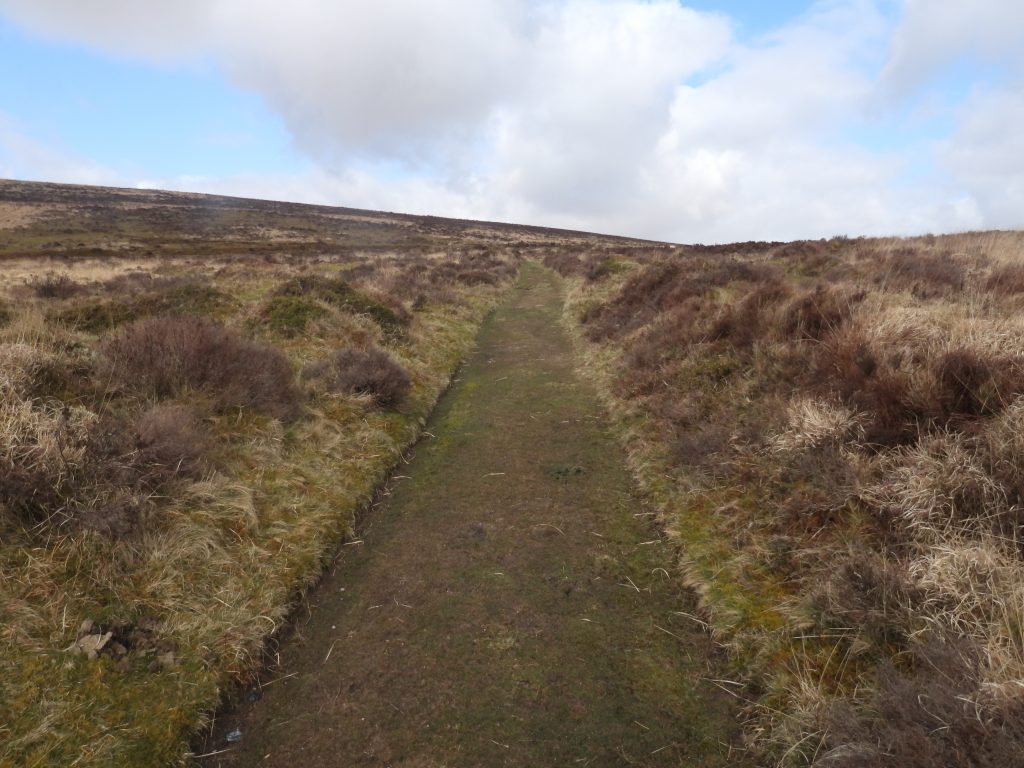
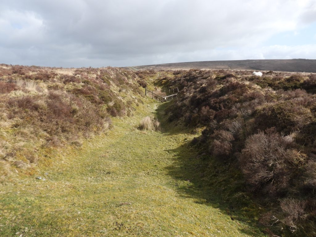
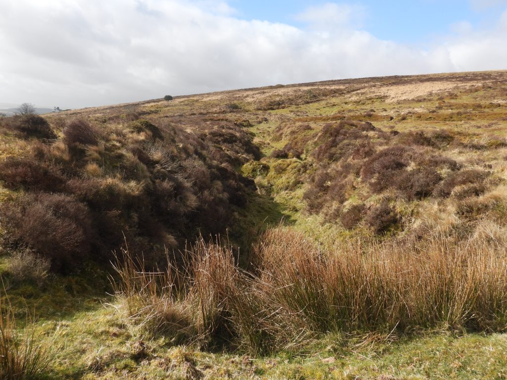
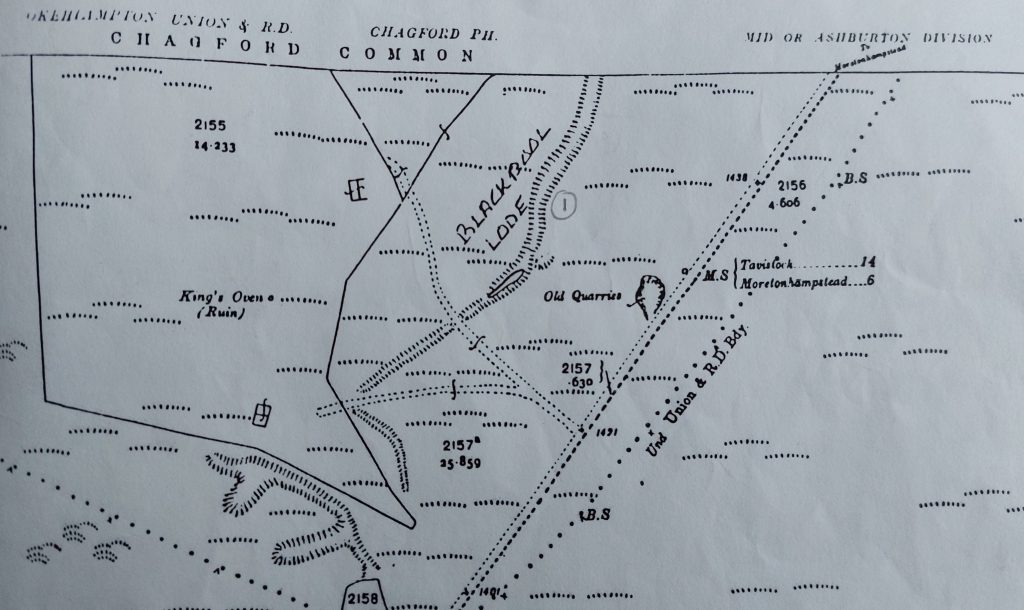
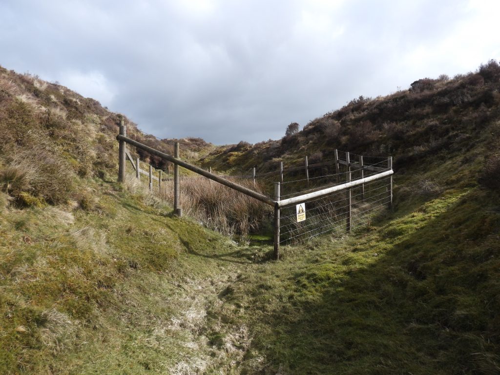
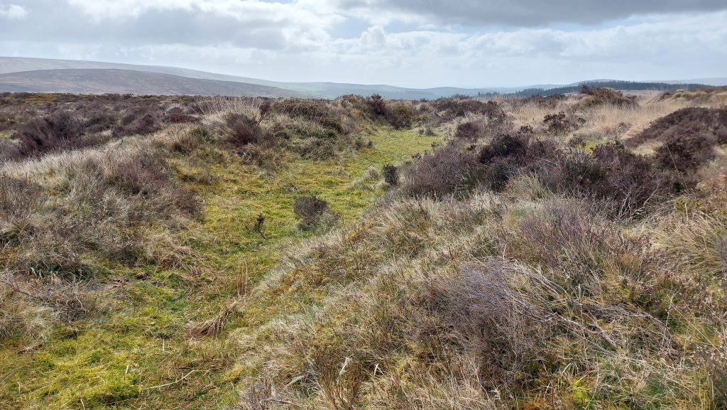
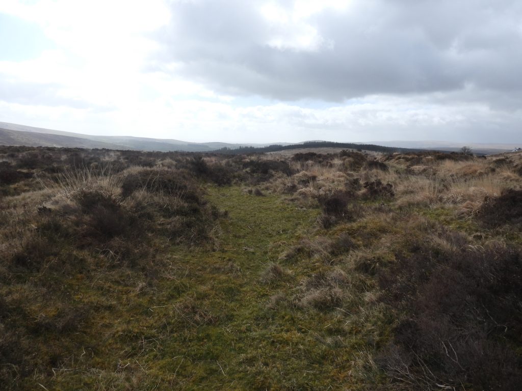
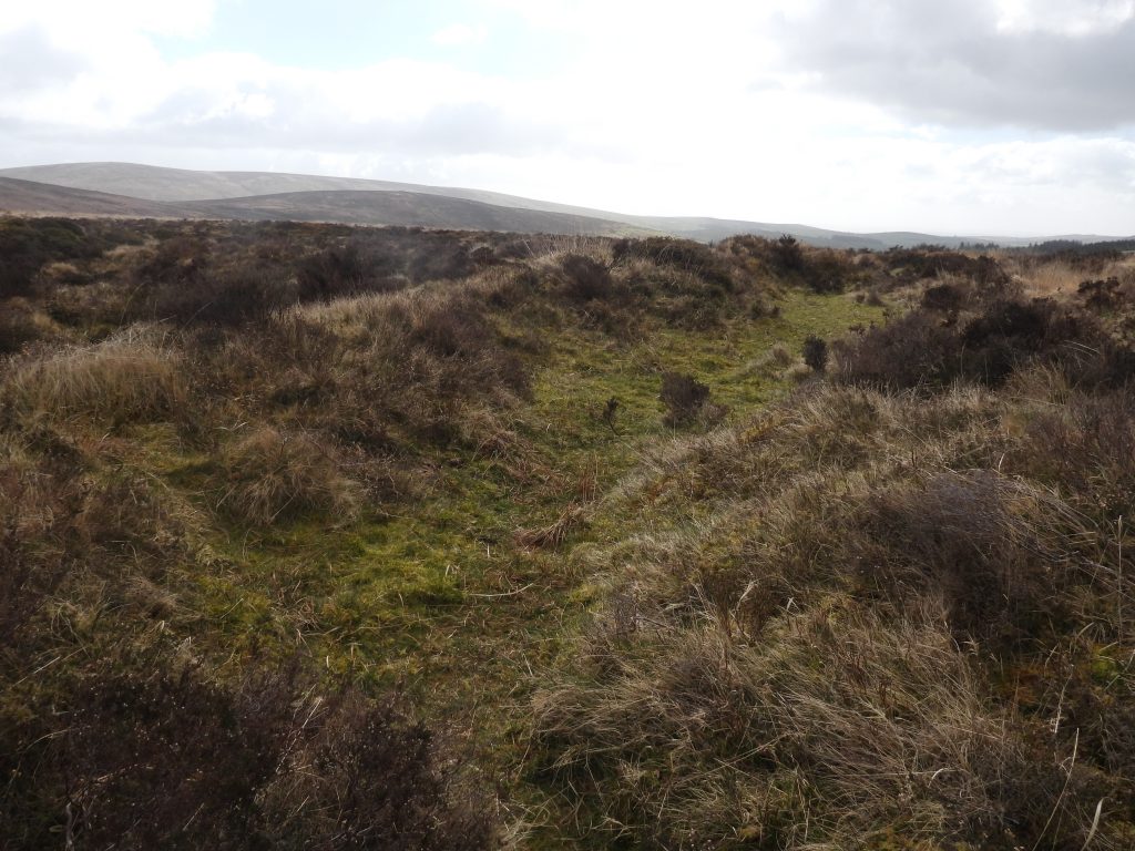
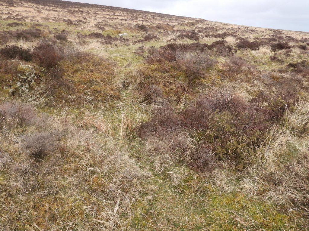
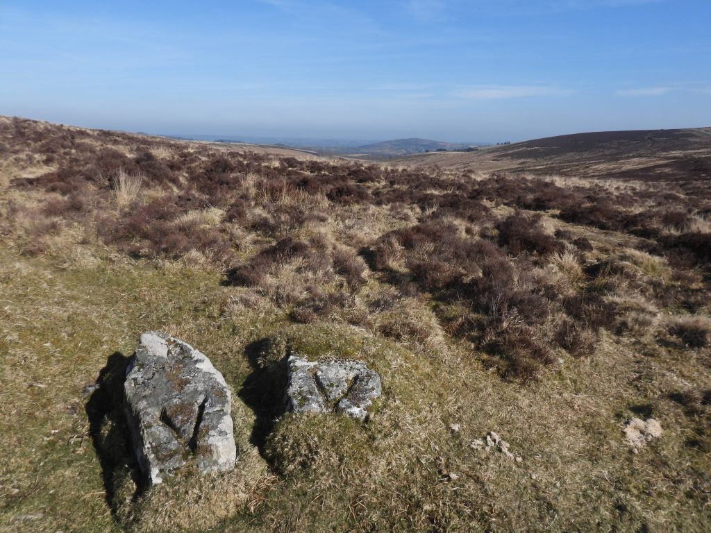
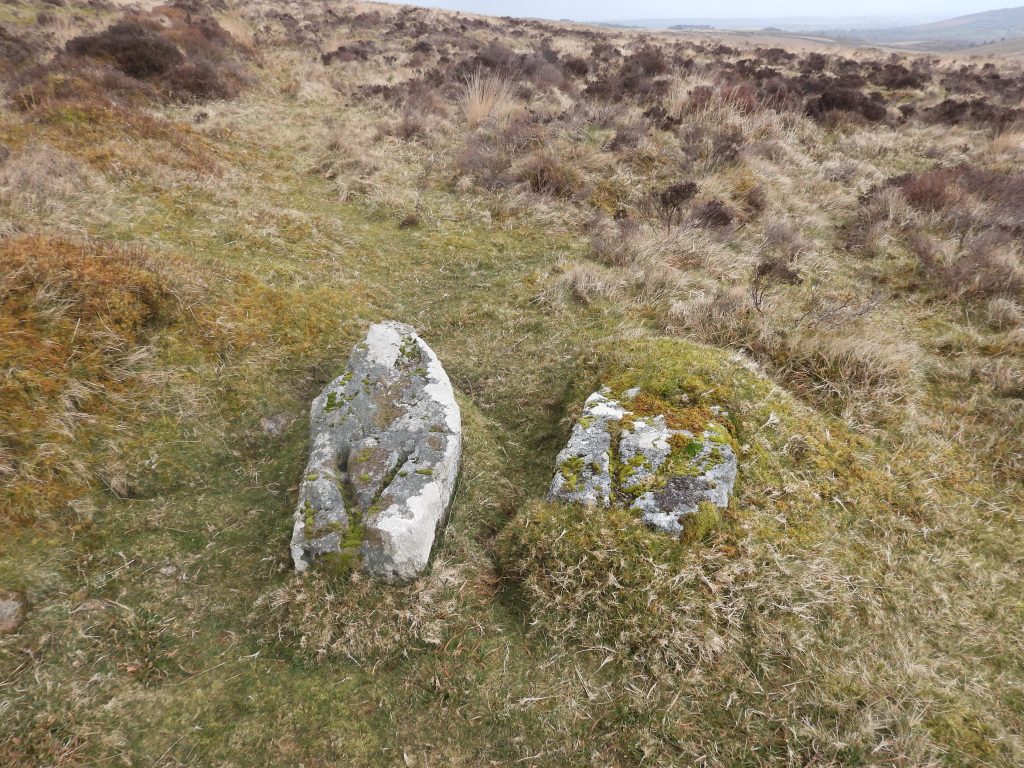
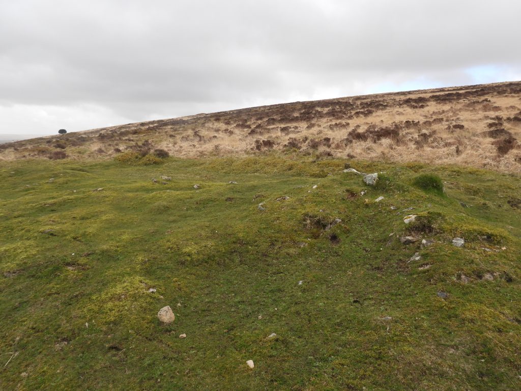
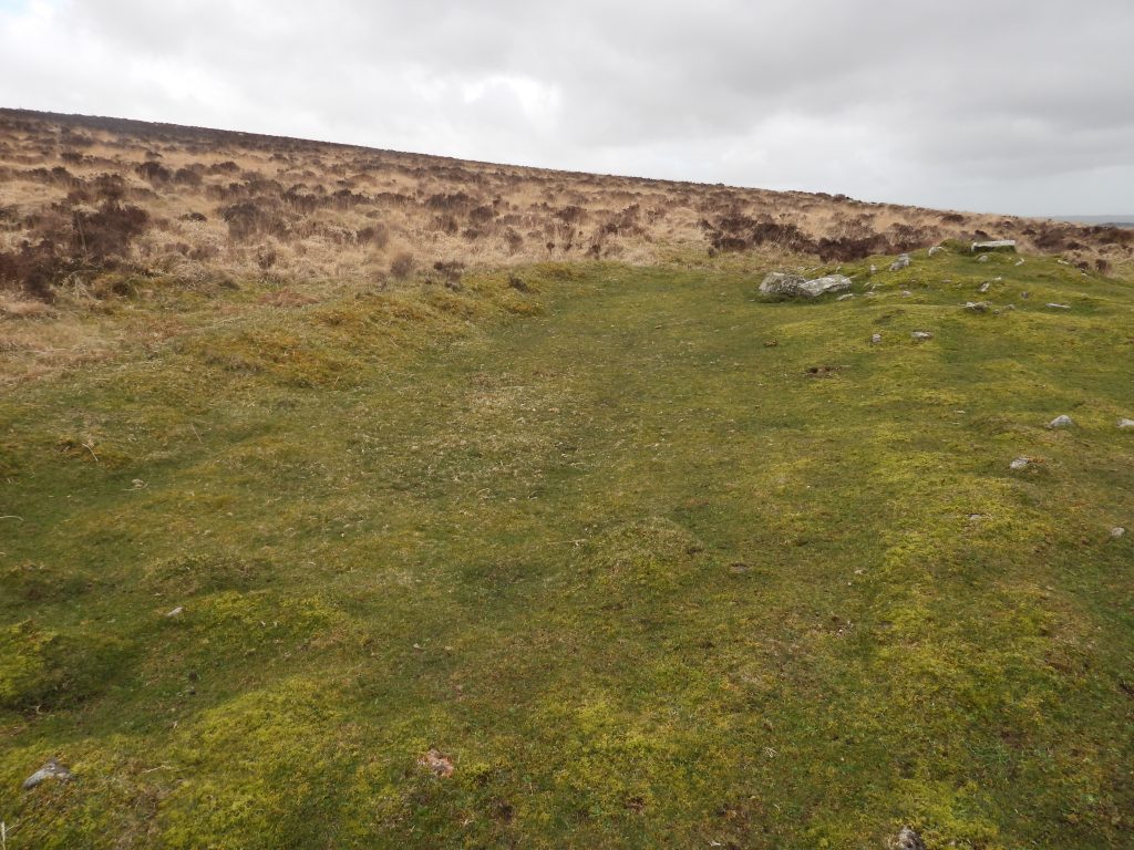
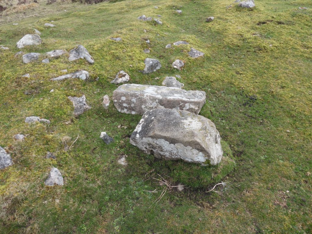
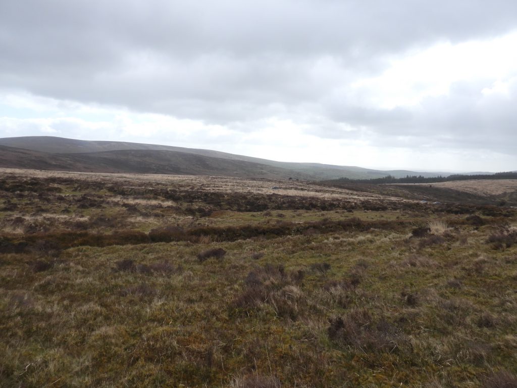
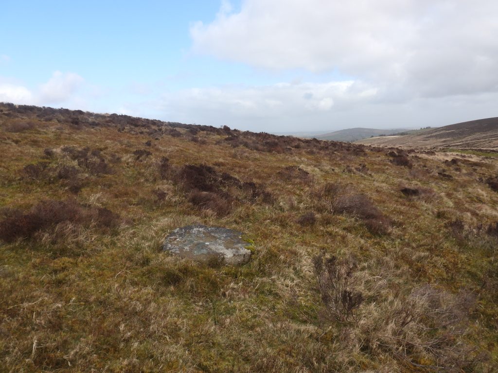
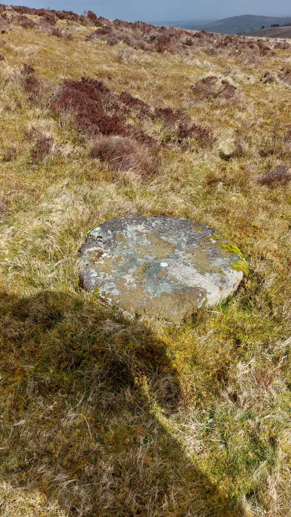
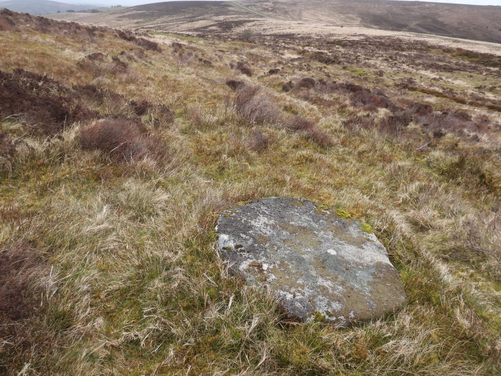
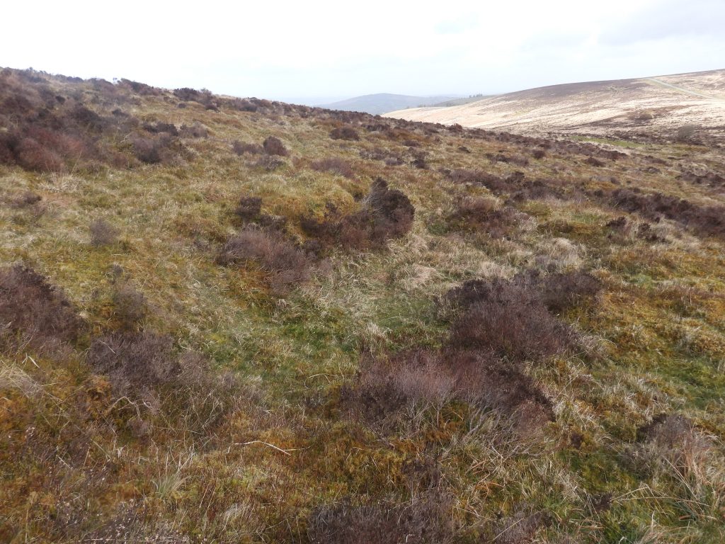
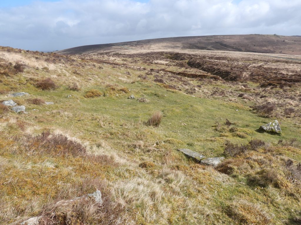
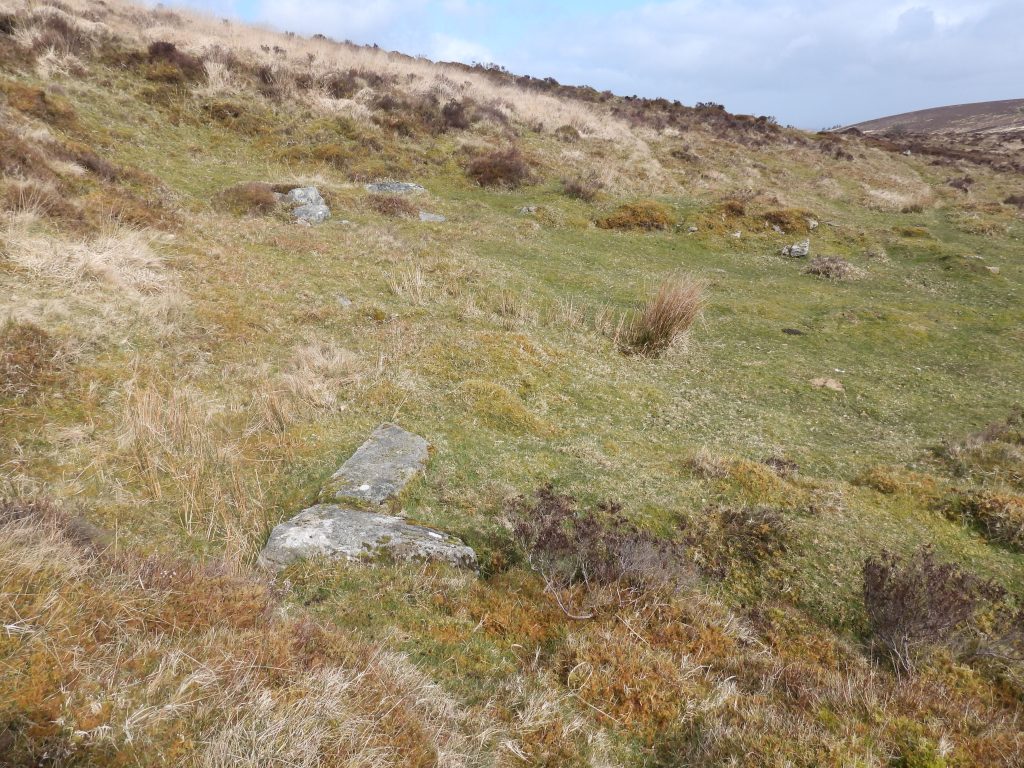
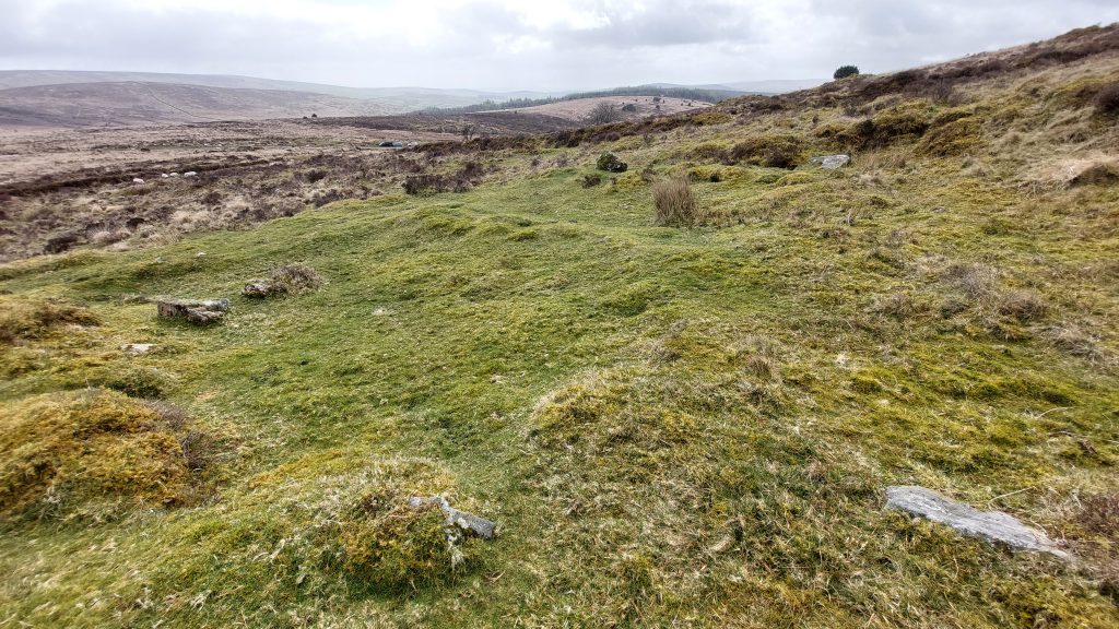
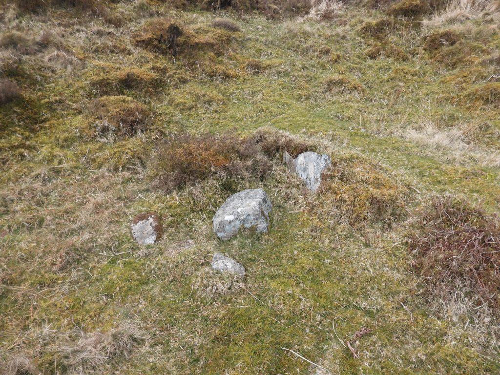
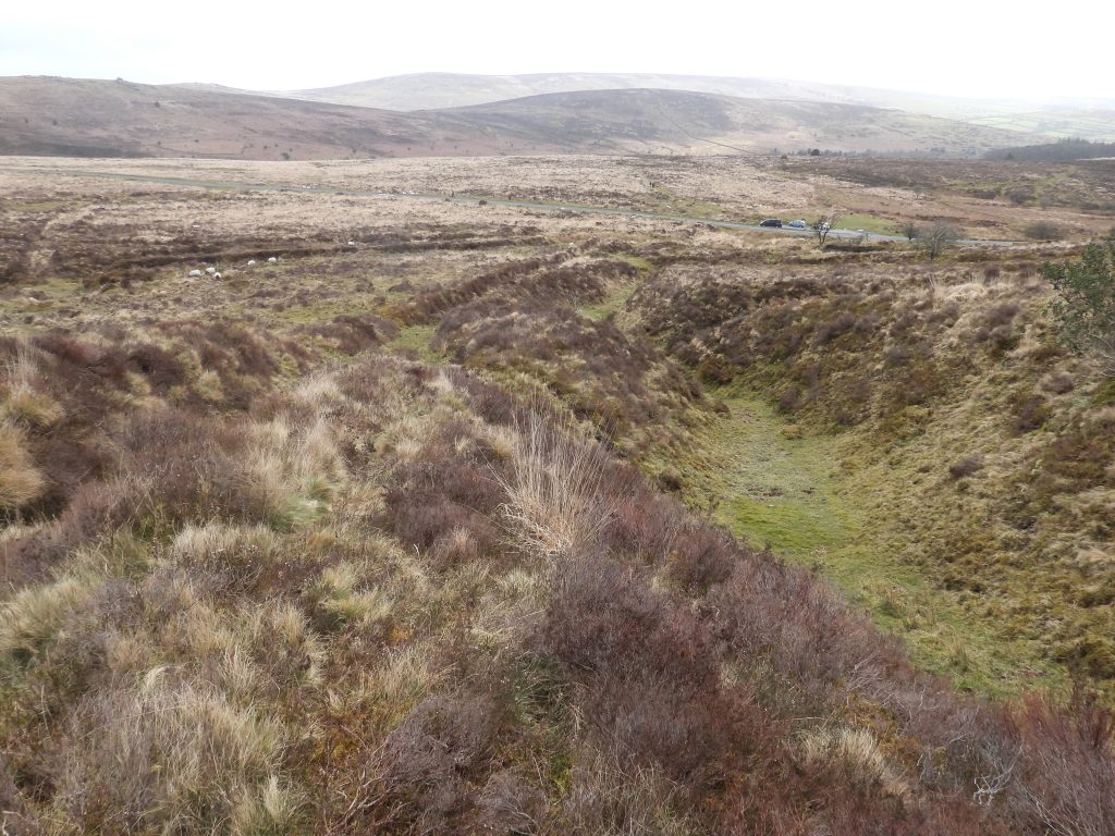
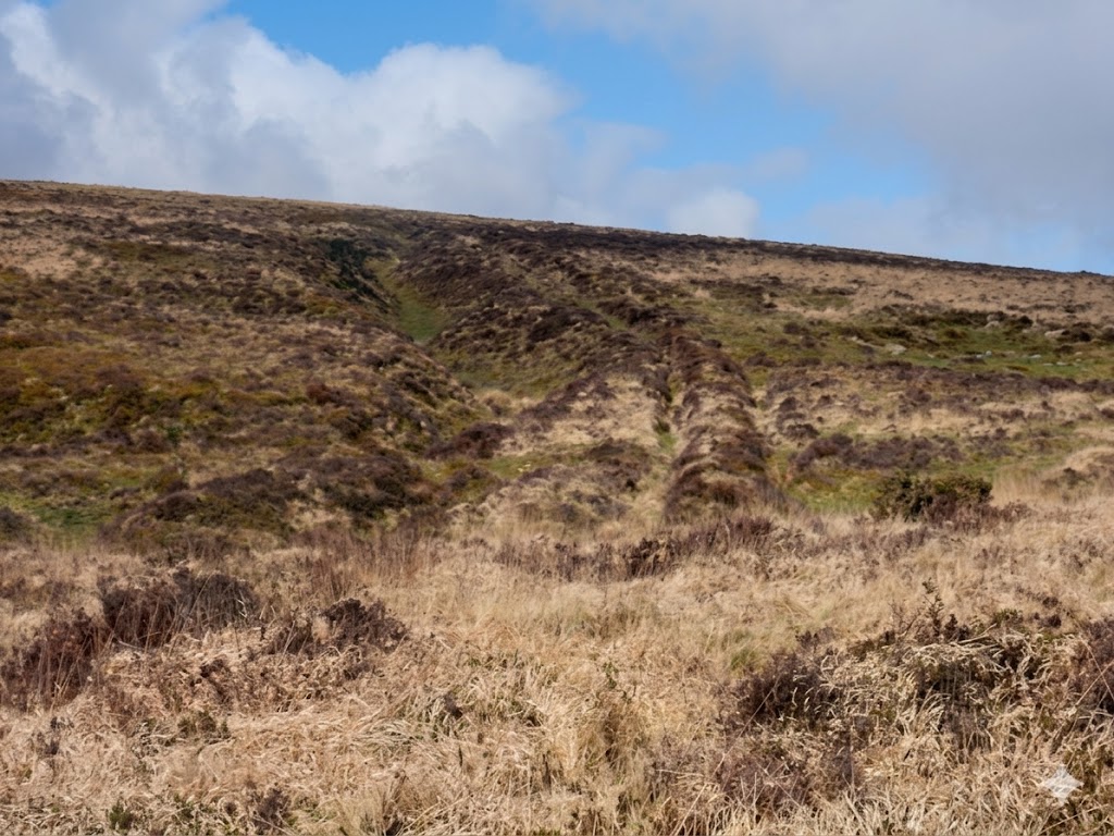
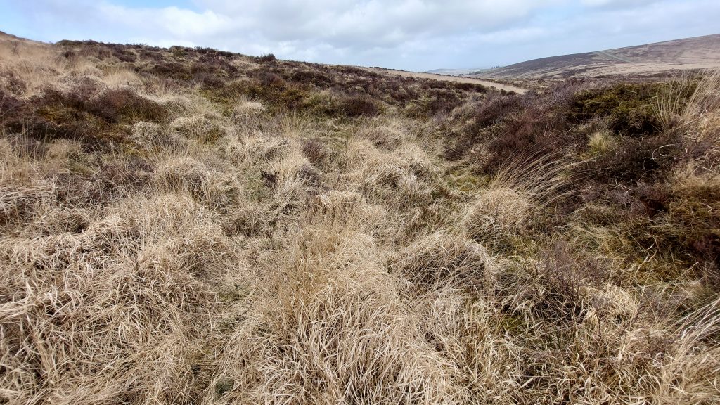
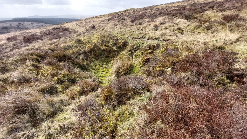
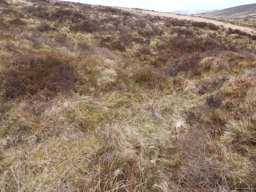
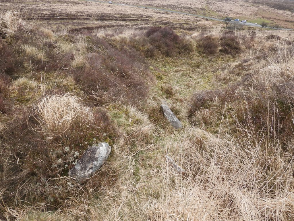
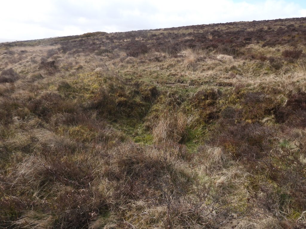
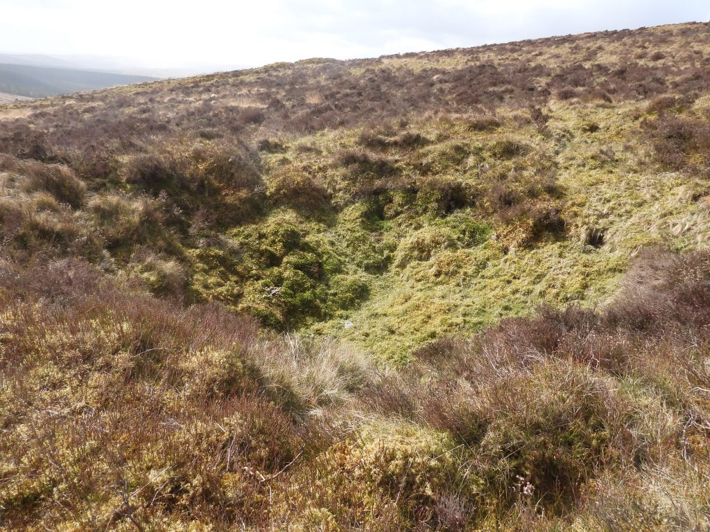
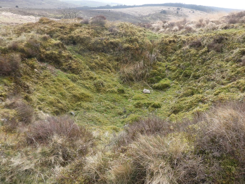
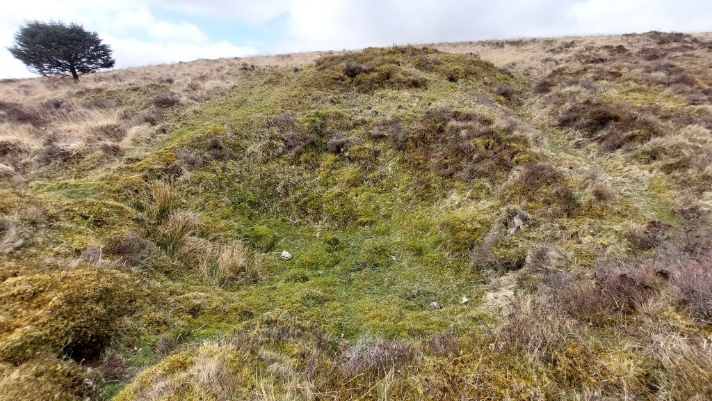
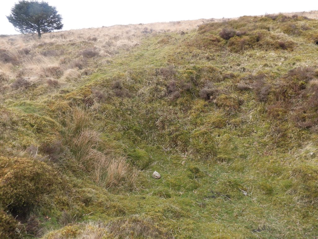
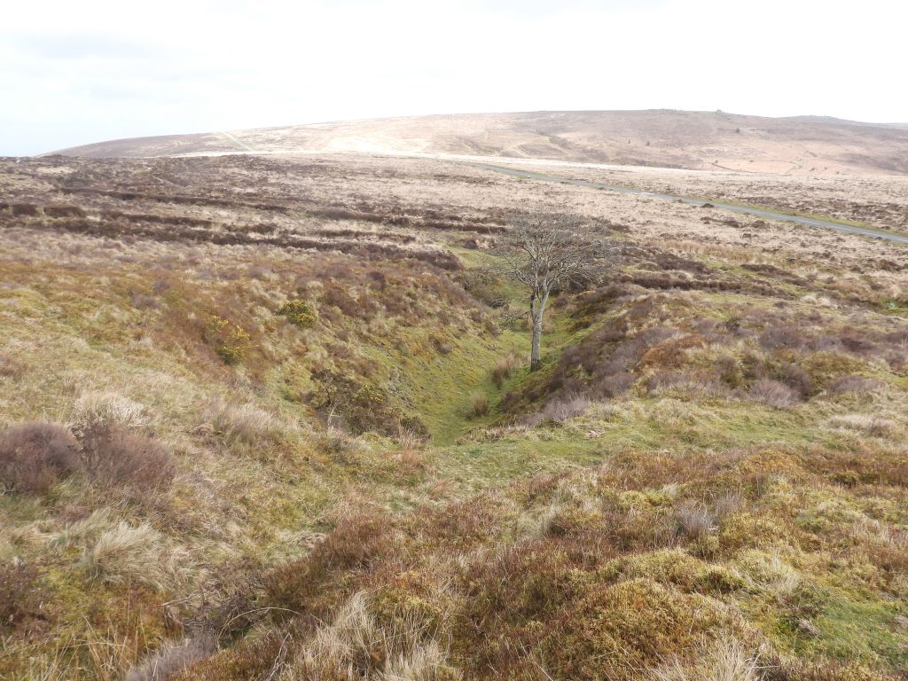
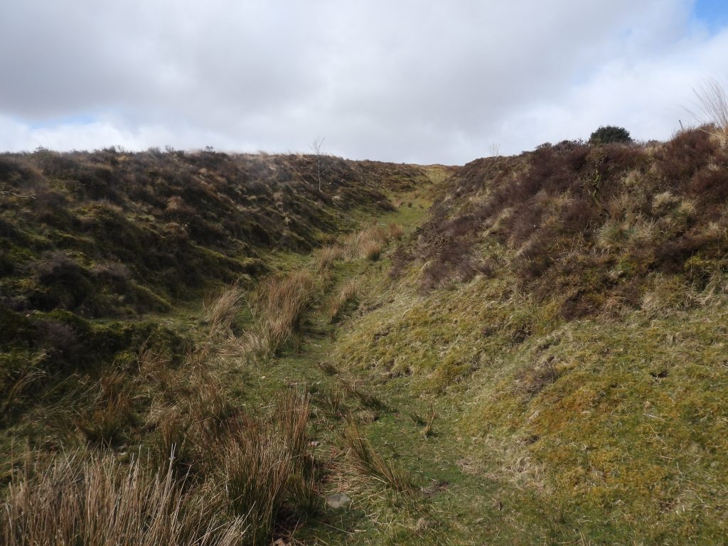
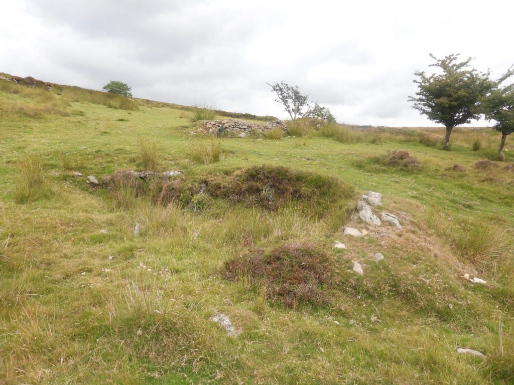
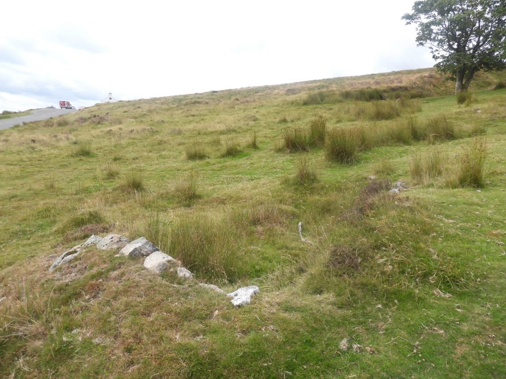
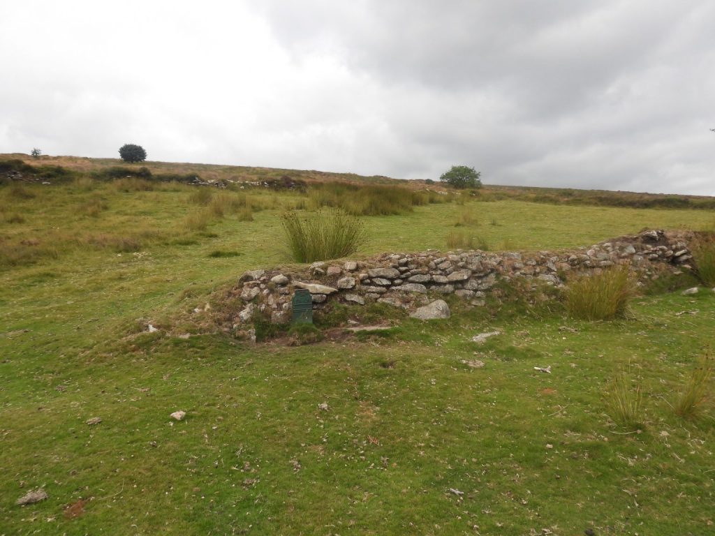
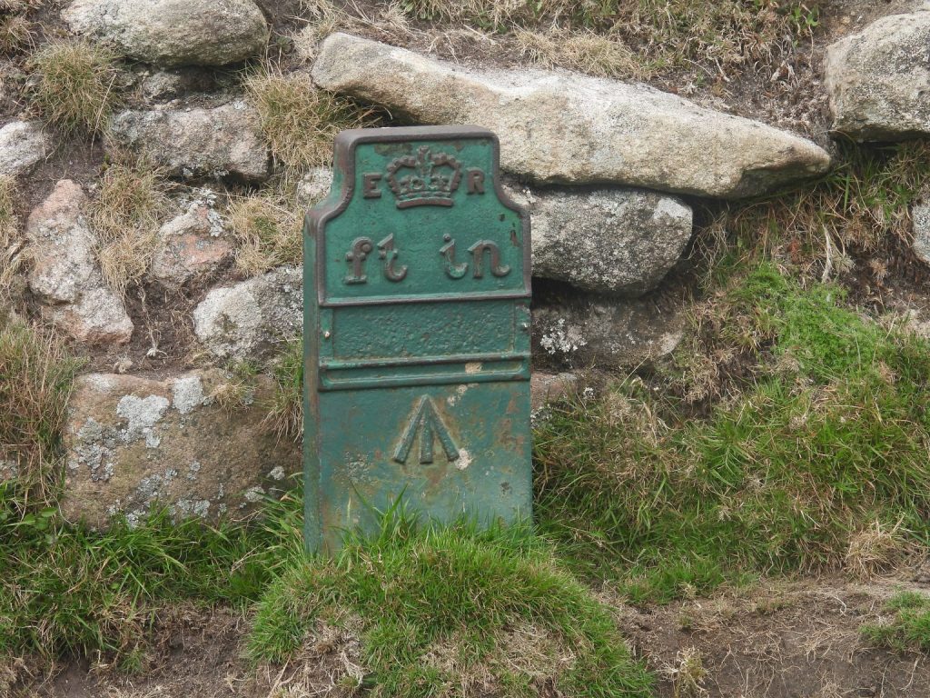
This annotated map shows the locations of the key features covered in this post. The two shafts, two mine buildings and ‘V’ stones are the items synonymous with King’s Oven Mine. Butler suggests that some of the buildings may have been associated with Bush Down Mine to the eastThis LiDAR plot identifies the features covered in this postMine track from B3212 leading to the ‘V’ Stones, Valley Shaft and Building 1Openwork A (east) looking towards Valley Shaft (fenced off area)Openwork A (west). The openwork here is crossed by the mine track which was probably built up to accommodate this.This map ‘snippet’ was gifted to the author a number of years ago (but he does not know its provenance). It is part of a map which covers King’s Oven Mine, Birch Tor / Vitifer Mine and Golden Dagger Mine and shows the names of most of the lodes in the area. The lode annotated as ‘Openwork A’ in this post is named as ‘Blackpool Lode’ on the above map snippet. The author cannot corroborate the name from any other source.There are two shafts mentioned by Broughton which are named Valley Shaft and Waterhill Shaft. This is thought to be Valley Shaft (in Blackpool Lode)Valley Shaft is a flooded deep conical pitsValley Shaft is located at SX67606 81306A Tinners’ Reservoir (annotated ‘1’ on the sketch map) lies between the mine track (to the west) and Openworks (to the east).This reservoir is located at SX 67562 81357Reservoir 1 comprises a crescentic bank 36 metres long.Looking south along Tinners’ Reservoir 1Sluice opening which diverted water to various parts of the tinworks / openworks belowWater channel from Reservoir 1 leading down the Openworks, which, although undated are likely to be of post-medieval date and pre-date King’s Oven MineOne of many Dartmoor mysteries is a pair of granite block ‘V Stones’, which are located on the north-east side of a wall to the north-east of where King’s Oven is labelled on OS maps. These granite blocks with their very distinct V-shaped grooves cut into their surface have always been assumed by many to have served some purpose associated with the nearby mine workings. A separate post considers the suggested purpose for these can be found at: ‘V’ Stones – near King’s Oven – Dartmoor Explorations ‘V Stones’ granite blocks can be located at SX67539 81374. It is possible that the positioning (and location) of the blocks has altered over time. They may have been used as a flag pole base or the supports for a small windlassA short distance to the west of the ‘V’ stones, near the end of the track, lies the foundation ruins of a building which is thought was possibly an old Mine Office. This is annotated as ‘Building 1’ on the sketch mapBuilding 1 has internal dimensions of 12.2 by 8.5m. Building 1 has a central dividing wall running along its long axisGranite blocks from Building 1 have evidence of having been split. They are located at SX67519 81360The lack of stone here may suggest the building was a wooden structure albeit on granite block foundationsLooking across Openwork A The unfinished millstone at the centre of the “Kings Oven” enclosure / pound. Crossing states (P247) that: “All that is to be seen is a low rampart, composed of small stones, forming a circular enclosure rather over 700 yards in diameter….”, thus suggesting the ancient blowing house of Furnum Regis was within this enclosure.
The unfinished millstone can be found at SX67467 81293
Unfinished millstone at the centre of the enclosure. It is interesting to note that Robert Burnard has a picture of a similar stone he found in the area stating it: ‘looks something like the nether stone of a crazing mill’. Note: A nether stone is the lower stone of a rotary crazing mill that was used for grinding tin ore. He states that the stone was found at Furnum Regis, Kings Oven in July 1888. This building, located within the enclosure / pound wall is where Spence Bate thought was where the furnace of the Kings Oven had been located.The building built into the enclosure / pound was is located at SX67443 81282In 1895, the Dartmoor Explorations Committee examined these foundations. They were unable to come to any conclusions as to its date or purpose. Butler suggests it might possibly have once been a LonghouseOverlooking Building 2 is located to the south of the “Kings Oven” enclosure / pound. It is believed (Greeves) that this is a mine building and the stones for its construction would have been robbed from the enclosure.The building (2) footprint is quite large and was almost certainly associated with King’s Oven Mine. The building sits on a levelled area which has been cut into the hillslopeSamuel Rowe in his publication “A Perambulation of Dartmoor” (P195), states: “The original Furnum Regis, the King’s Oven, the tin smelting place, was destroyed probably sometime during the last century, and was reduced to further ruin by the removal of stones, or the construction of the buildings of Bush Down Mine….” Was this one of the Bush Down Mine buildings, Rowe was referring to? This is doubtful as Bush Down Mine is located around 1km away to the north east.The internal measurements of Building 2 are 12.3m by 7m and as can be seen from the photograph there was a central cross-division. Eric Hemery in High Dartmoor (P706) states that: “Due east of the cairn on Water Hill (E.Dart), and on a shelf about 150 feet below it, is the ruin traditionally known as “Furnum Regis”, “Kings Oven”. A rectangular building, with a central partition and some corner stones, still in-situ, it has external dimensions of 41′ x 16′. Whether this was the smelting-house it was thought to be….” Building 2 is the most likely the building Hemery was referring albeit corner stones are not that obvious.The centre of Building 2 is located at SX67462 81228The walls of Building 2, were constructed from granite. Very few remain to just above foundation levelLooking down on Openwork BLooking up at Openwork B. Note the walling to the right (east) of the working running parallel to it coming down the slope. This Openwork runs north -south for approximately 200 metres north of the B3212 road. It has branch workings on the western sideTinners’ Reservoir 2 is located above Openwork BTinners’ Reservoir 2 comprises a crescentic bank of approximately 23 metresWest end of Tinners’ Reservoir 2Tinners’ Reservoir 2 is located at SX67414 81190Looking south (ish) along Tinners’ Reservoir 2Sluice opening of Tinners’ Reservoir 2Trial Pit is located at SX67380 81188Trial Pit located at SX67360 81193Trial PitTrial Pit located at SX67345 81192Trial PitWater Hill ShaftWater Hill Shaft is located at SX67453 81129Water Hill Shaft is the most prominent shaft in the areaOpenwork COpenwork DBawden’s Bungalow and Telegraph Cable MarkerBawden’s Bungalow lies to the east of the Warren House Inn and near the head of the Wallabrook. The building is named ‘The Bungalow’ on an early 20th century (1905) historic map.Bawden’s Bungalow. A mid-20th century (1963) historic map labels the house as ‘King’s Oven Bungalow’, albeit ‘King’s Oven’ (which has two disputed locations) is several hundreds of metres away to the north. It was sometimes known as ‘King’s Bungalow’Telegraph Cable Marker next to this enclosure wall (a few metres north of the Bawden’s Bungalow). The iron marker, dates from the early 20th century. It is one of a series marked the location of a buried telegraph cable which crossed the South West and into Cornwall.Telegraph Cable Marker. At the top of each (telegraph) marker is a Royal Cypher (ER) and Crown which represents King Edward VII who reigned from 1901 to 1910, which dates the marker. (NOTE: in other parts of the country there are similar markers with VR (Victoria) and GR (George V)). The broad arrow (called a ‘pheon’) represents objects purchased with the monarch’s money. There are two guided slots below the ‘ft in’ inscription which would have been the location of a numerical guide, which the author assumes relates to the feet and inches from the marker to the cable. There are other Telegraph Markers across Dartmoor which can include: Moretonhampstead Square; Moretonhampstead, Court Street; Shapley Common; next to B3212 at Bush Down and Tavistock, Callington Road.