A collection of walks, discoveries, insights and pictures of exploring Dartmoor National Park
February 28, 2026
Rock Plantation Tin Mill
In the Walkham Valley between Withill to the east and Holetown / Sampford Spiney to the west, close to the left bank of the river there are the remains of a Tin Mill which appears that it was unlikely ever to have been operational. This mill also, does not appear ever to have been documented.
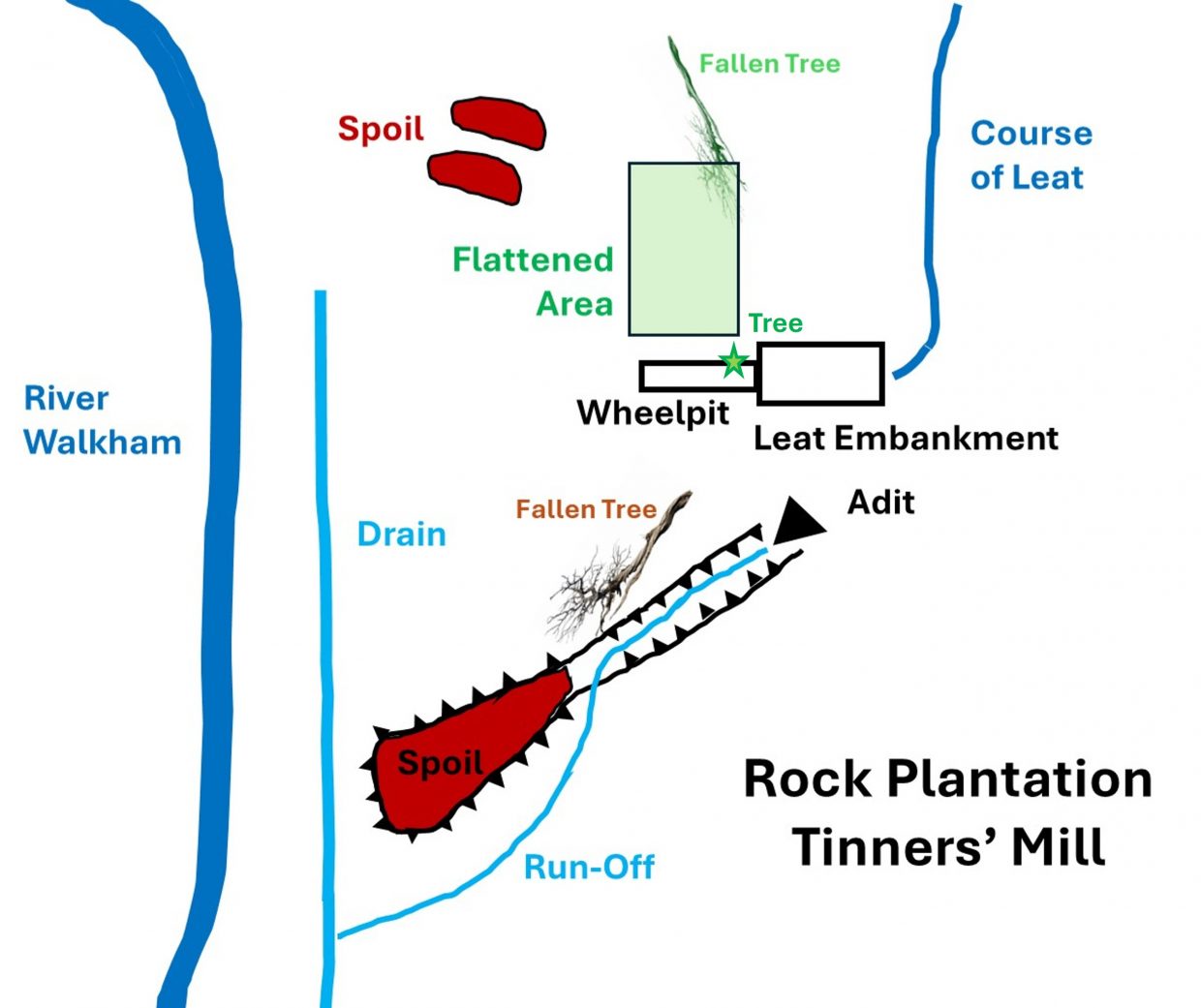
The Mills’ numerous remains are located in the area around grid SX5438 7255 and comprise: an Adit, a Spoil Tip, a Wheelpit (with an associated embankment), a flat area (which looks like it had been levelled to potentially construct Stamps) and the faint remains of a Leat. The lack of a tail race or building suggests (to the author) that this Mill was never operational except for the Adit drivage.
The author is grateful to Richard Glanville, who kindly showed the author the Mill, which lies on his land. It is probable that the Mill was constructed either to complement the operations of Heckwood Mine or as a pre-cursor to the mine, being planned to process ore being dug from an adjacent adit. Heckwood Mine is located (around SX547 738) around 1mile further up the valley from the Mill on the right bank.
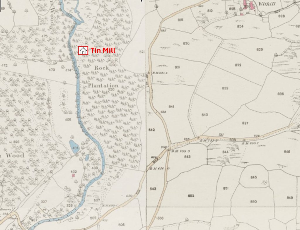
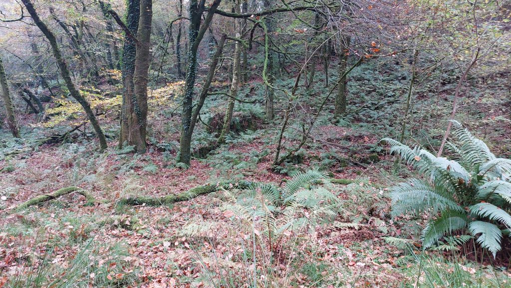
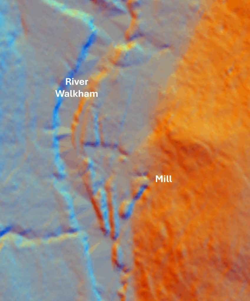
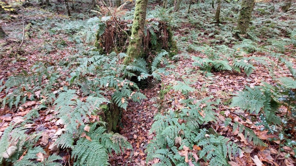
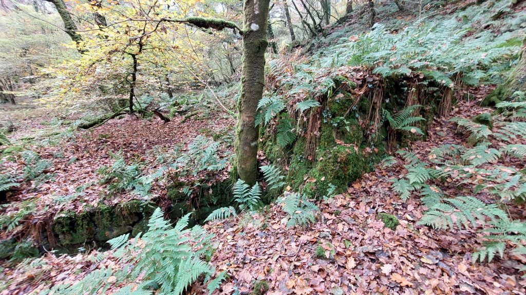
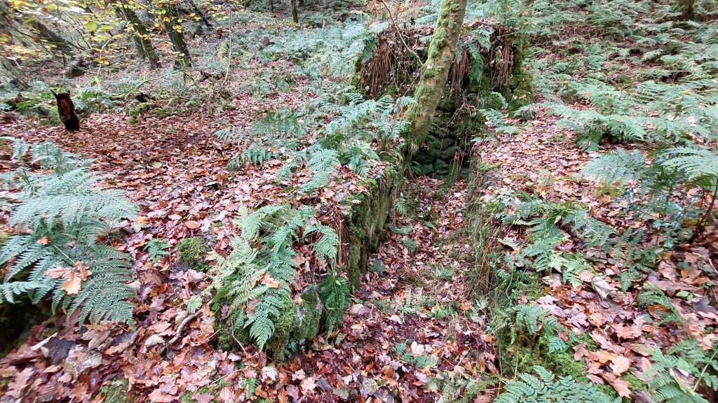
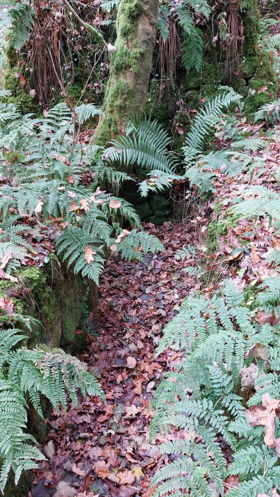
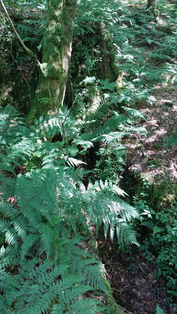
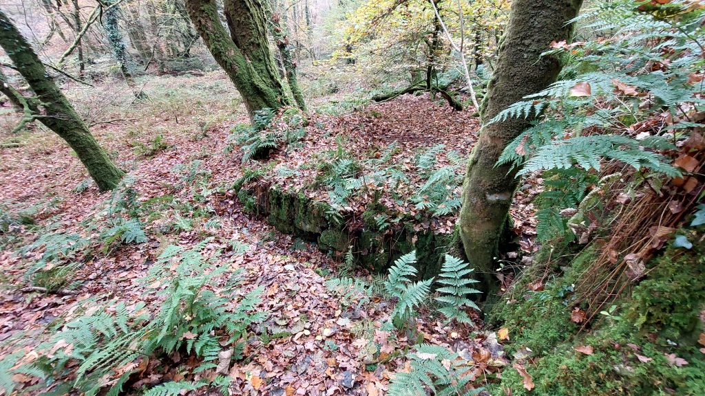
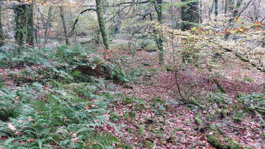
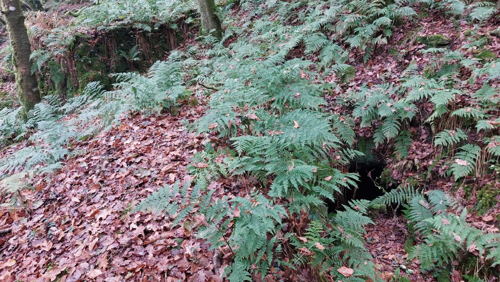
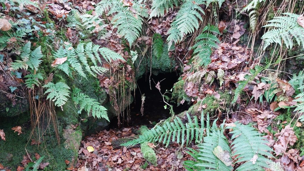
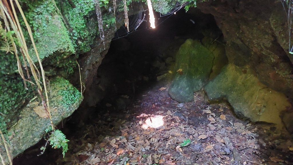
This annotated 19th century map indicates the location of the Mill. The author has named the Mill ‘Rock Plantation Tin Mill’ due to the name of the woodland at its location.This sketch indicates the key features at the Tin Mill. The sketch is not to scaleThe Mill as viewed from near the Walkham. The darker patches mid-picture are the wheelpit and the embankmentThe LiDAR plot clearly shows the wheelpit and embankment at the Mill (just to the left of word ‘Mill’ above). The adit, the channel leading from it are also evident (to the south west of the word ‘Mill’ above).An autumnal view (early November) of the wheelpit with granite block embankment beyond the treeSide view of the Wheelpit and embankment. Beyond the Wheelpit is a flat area, which the author assumes was levelled ready to accept a building or stamps. That said the flat area is to the north of the Wheelpit whereas the Adit level nearby is to the south of the Wheelpit, which seems wrong for operational efficiency. Is this flat area just co-incidental and not planned or deliberately constructed ?The Wheelpit is approximated as being 1m wide by 5m long (it wasn’t measured)
The Wheelpit in autumn
The Wheelpit in summer
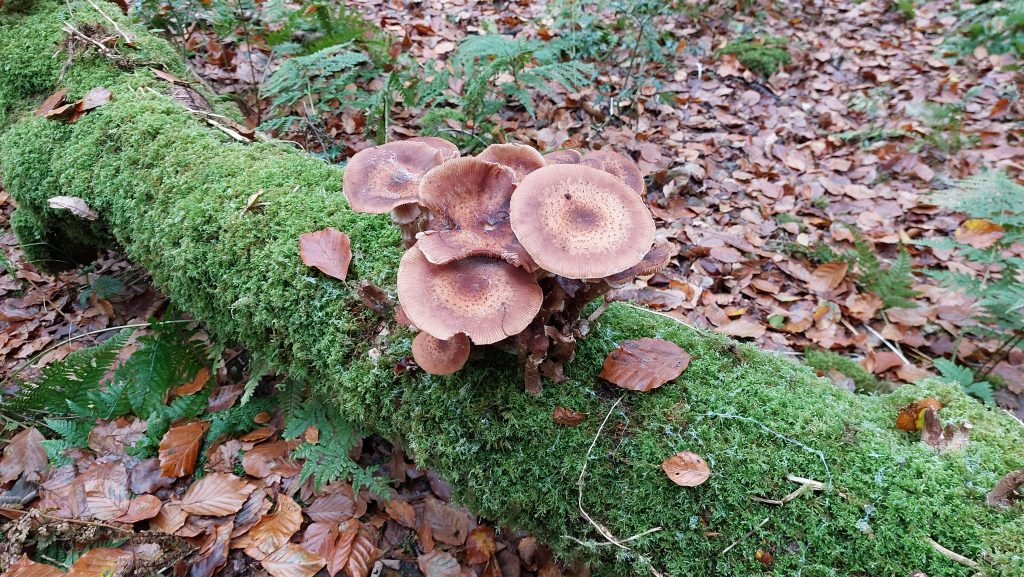
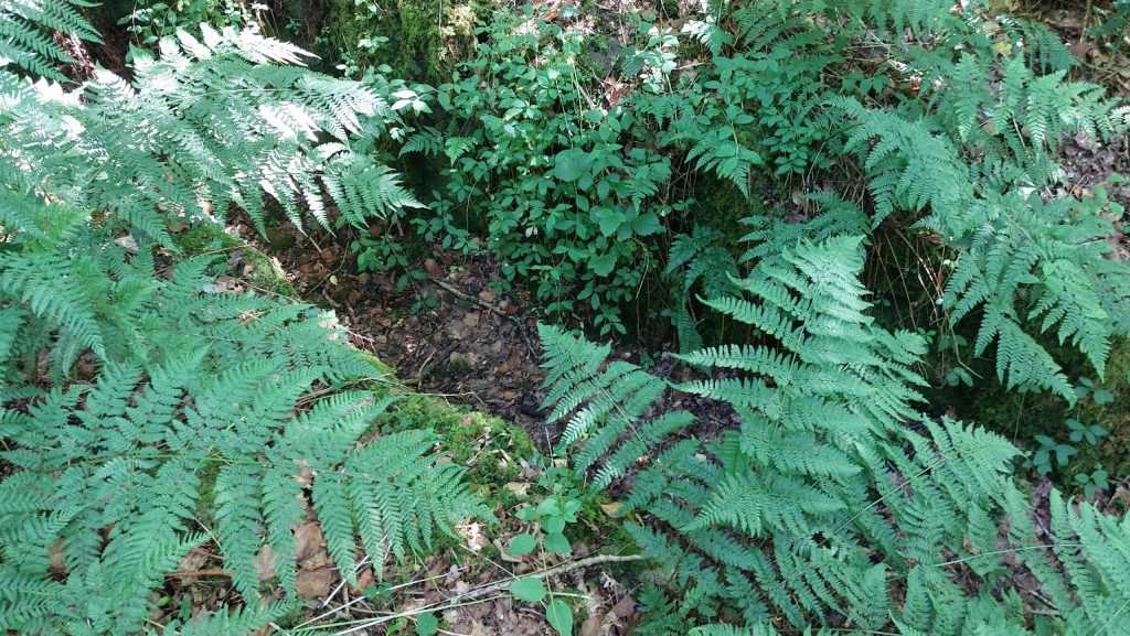
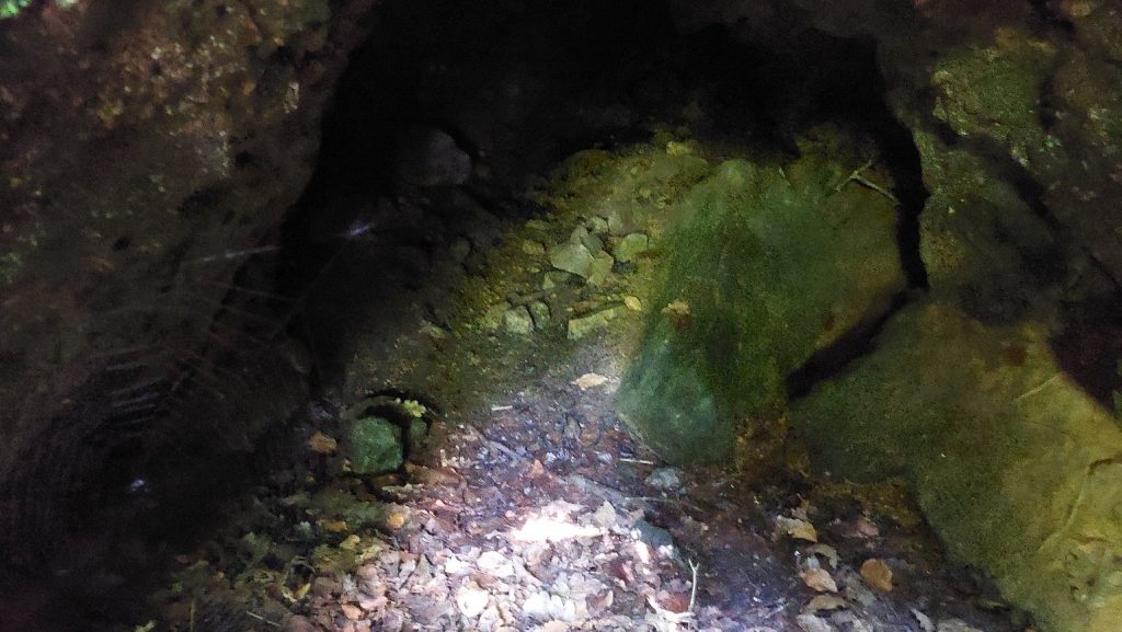
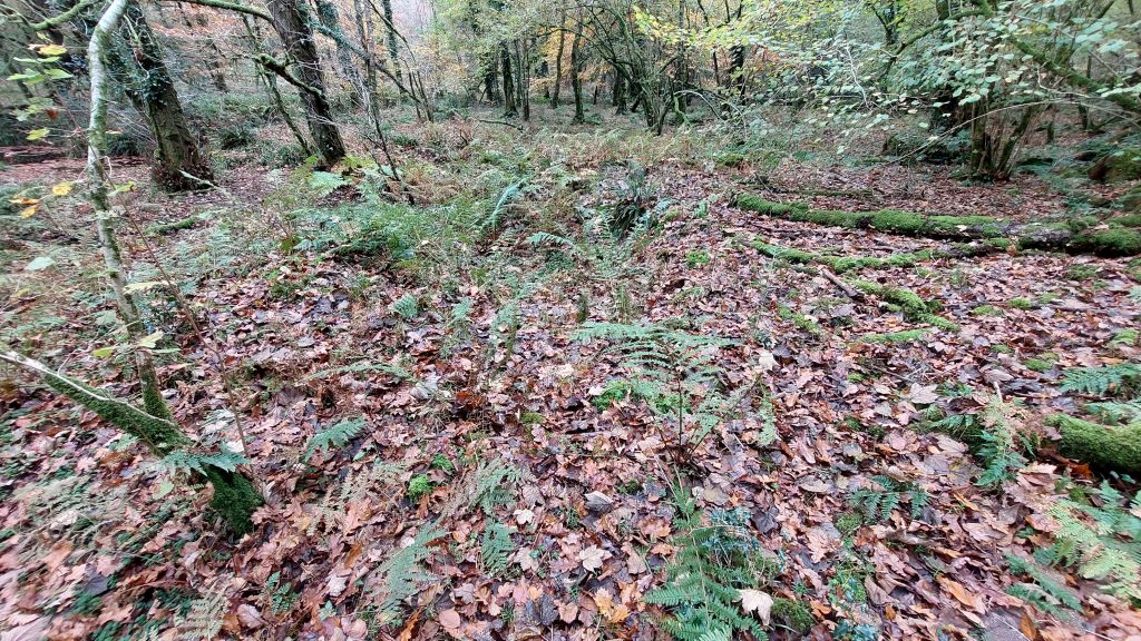
Wheelpit from the edge of the EmbankmentThe flat area adjacent (north) to the Wheelpit. Is this just natural lie of the land or was it deliberately levelled?Fungi on a log thought to be Tricholoma Inocybeoides – any information on this would be welcomeEmbankment (top left) and Adit (bottom right)The Adit Channel in summerAdit entranceInside the AditInside the Adit. Quite a lot of ore was definitely excavated here as the nearby spoil heap bears testamentDisturbed area to the north of the Mill, perhaps testament to early Tinners’ exploits from late Medieval periodDisturbed area to the west of the Mill