A collection of walks, discoveries, insights and pictures of exploring Dartmoor National Park
March 17, 2026
Tinners’ Workings and Reservoirs on Southern slopes of Cramber Down (aka Chants Hill)
The area is bounded by Cramber Tor, Cramber Pool and Cramber Trig along Cramber Down (aka Chants Hill) to the north, by the Forest Boundary to the East and the Jobbers’ Road or Track to the south contains a plethora of tin openworks, pitworks, prospecting pits and streamworks, some of which may well have been the documented site of ‘Cramberwarke’ dated to 1496.
As well as all the obvious workings, which are remnants of the late medieval to possibly late 18th or early 19th century Tinners’ exploitations of the land, the area also has other interesting features which include a possible Tinners’ Mill, a Tinner’s Hut, a Whim Plat and at least 16 Tinners’ Reservoirs. The reservoirs probably date from late medieval to 18th / 19th century and some will have definitely pre-dated Devonport Leat (1795-1802) as they fed streamworks below the leat. For completeness the post also records features along Devonport Leat and two crosses, Crazywell and Newleycombe which are in the area.
The previous documented survey(s) in the area conducted by Phil Newman are acknowledged by the author as with huge thanks as, without which, this post and the understanding of the landscape wouldn’t have been so well recorded and understood
Bibliography
Phil Newman – (2006) – Cramber Tor Training Area Archaeological Field Investigation (Report – Survey). SDV233640
Phil Newman – (1987) – The Moorland Meavy – a Tinner’s Landscape, 229, 231, 232, 235-6
Phil Newman – (2023) – Walkhampton PAL report data
Eric Hemery – (1983) – High Dartmoor, pages 12, 136-7
R.H.Worth – (1967), Worth’s Dartmoor, 395-6
Tom Greeves and Elisabeth Greeves – (1997), A probable tin mill at Claziwell, 4-5 (Article in Serial). SDV242613.
Phil Newman – (2007) – Cramber Tor Training Area Monument Baseline Condition Survey (Report – Survey). SDV348210.
William Crossing – (1912) – Crossing’s Guide to Dartmoor
Mike Brown – (1998) – Dartmoor Field Guides – Volumes 12 and 30
John Lloyd WardenPage – (1889) An Exploration of Dartmoor and its Antiquities, page 150
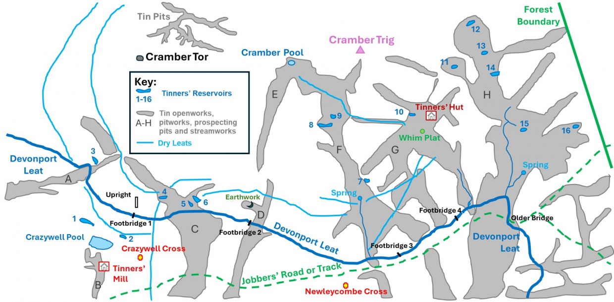
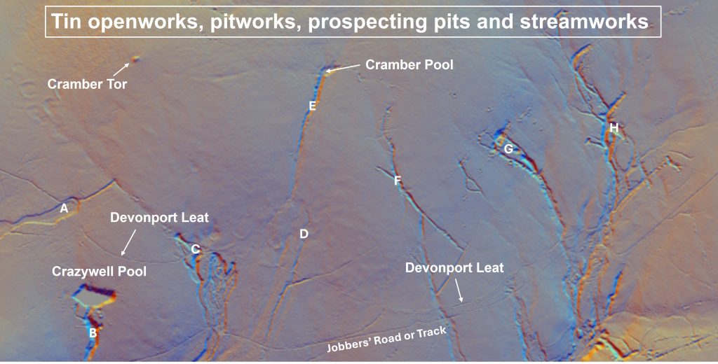
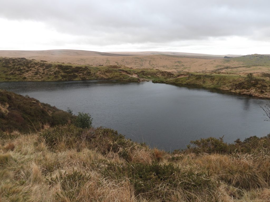
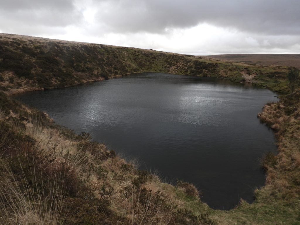
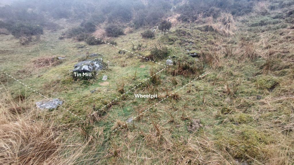
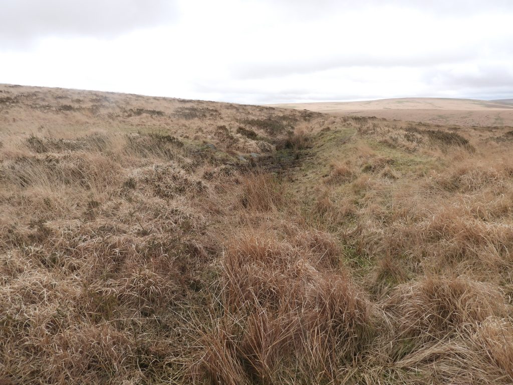
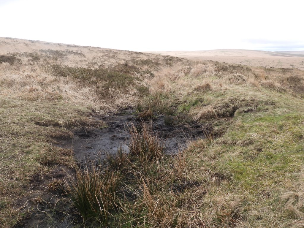
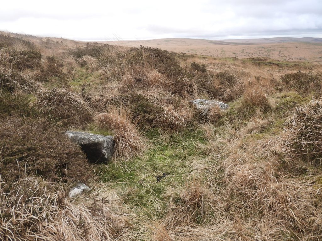
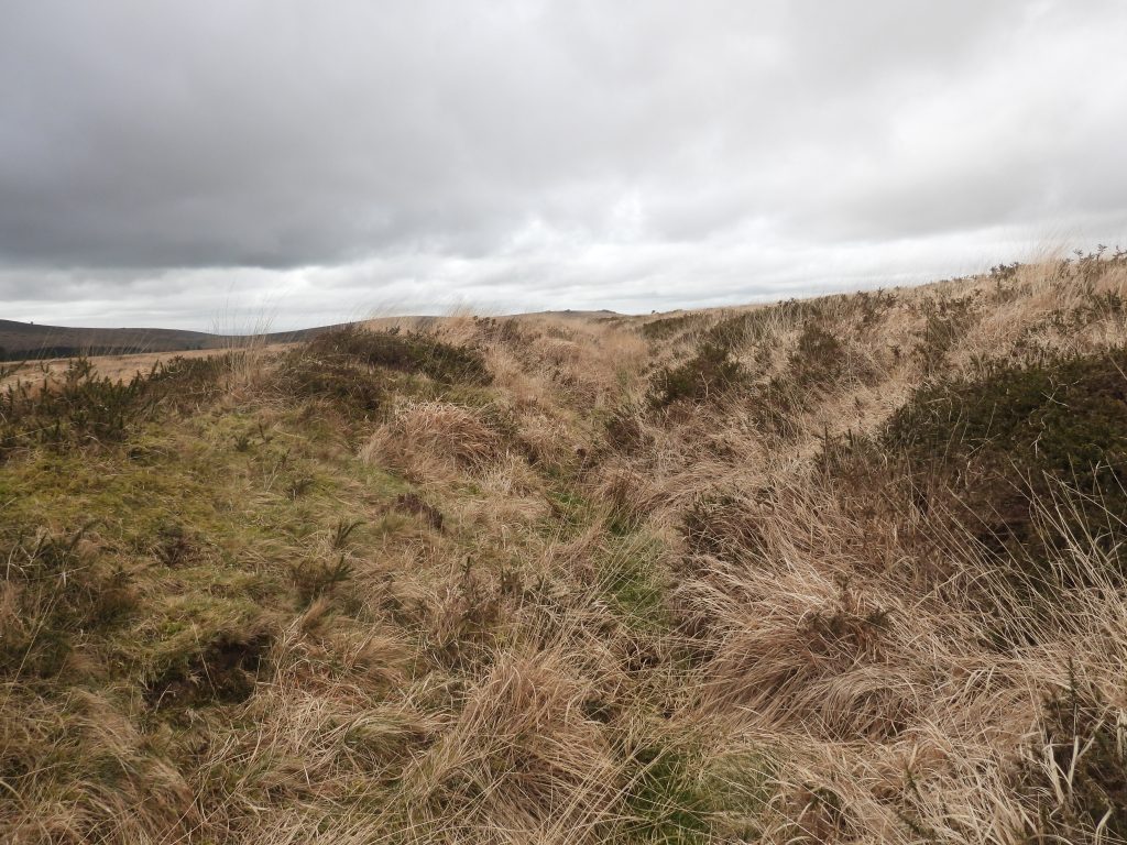
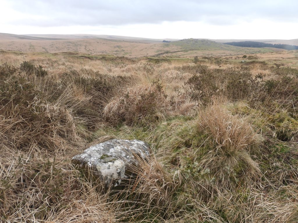
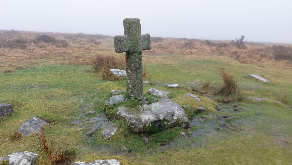
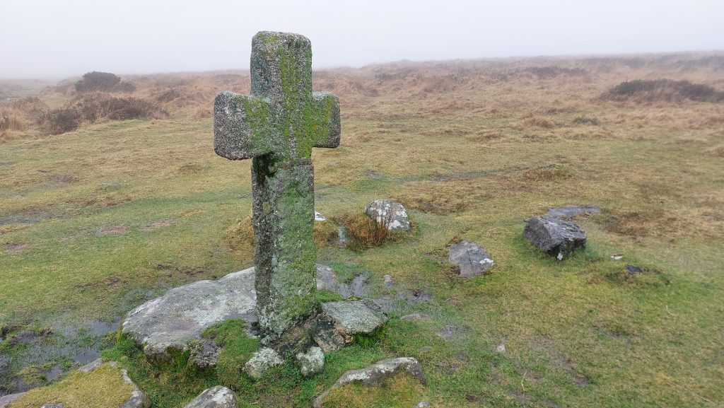
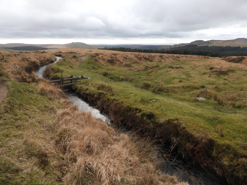
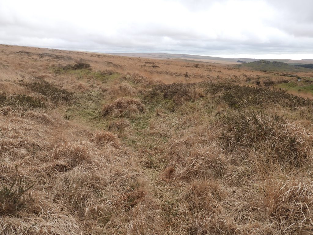
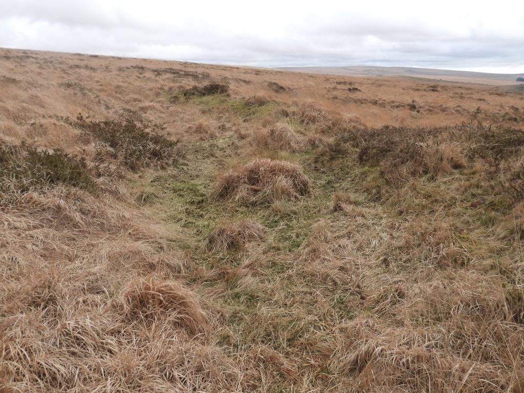
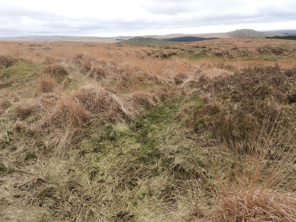
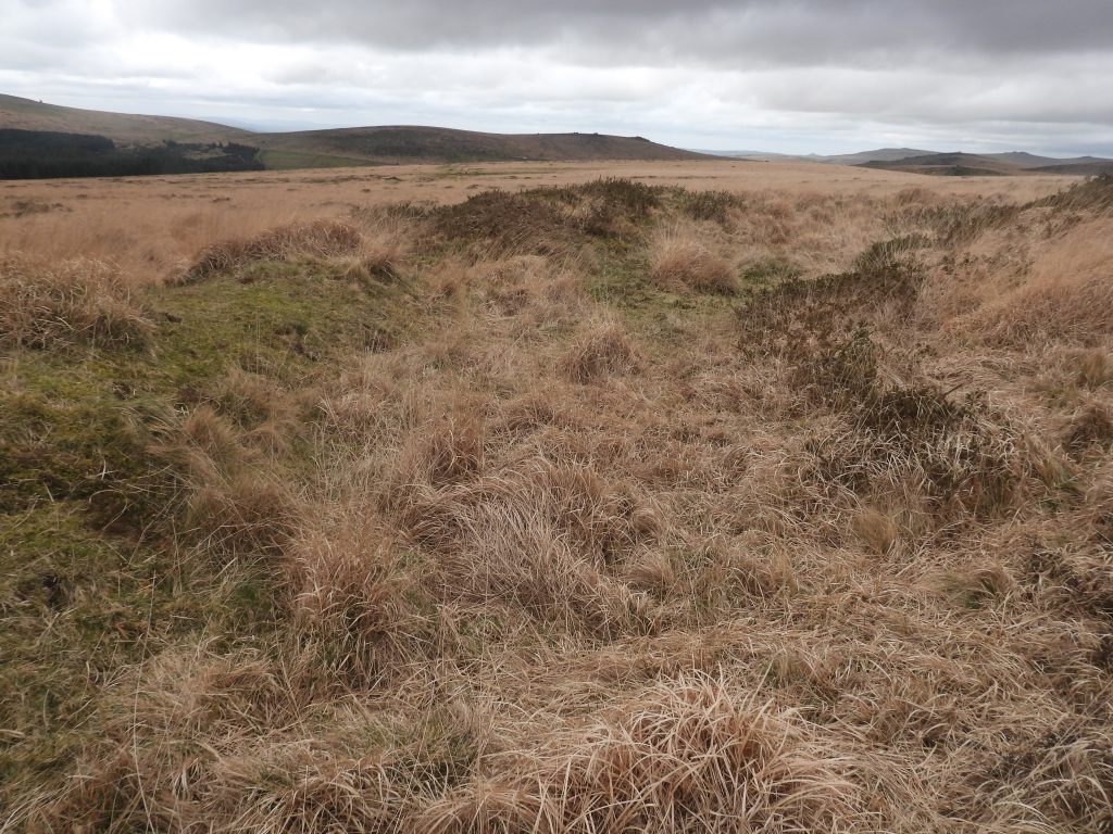
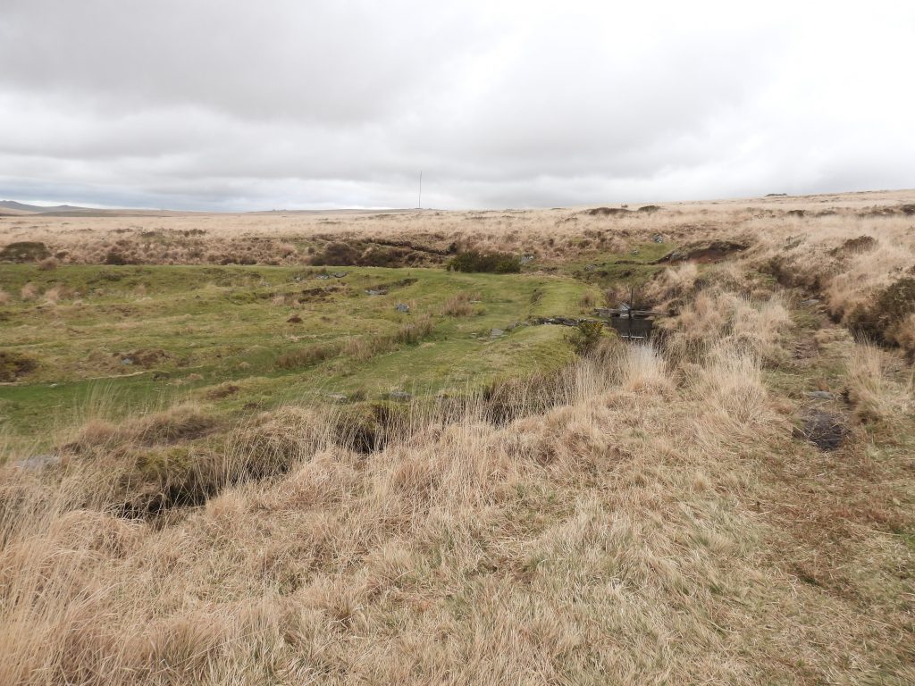
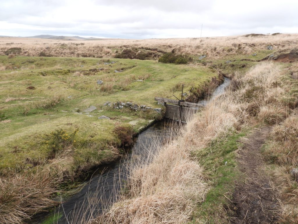
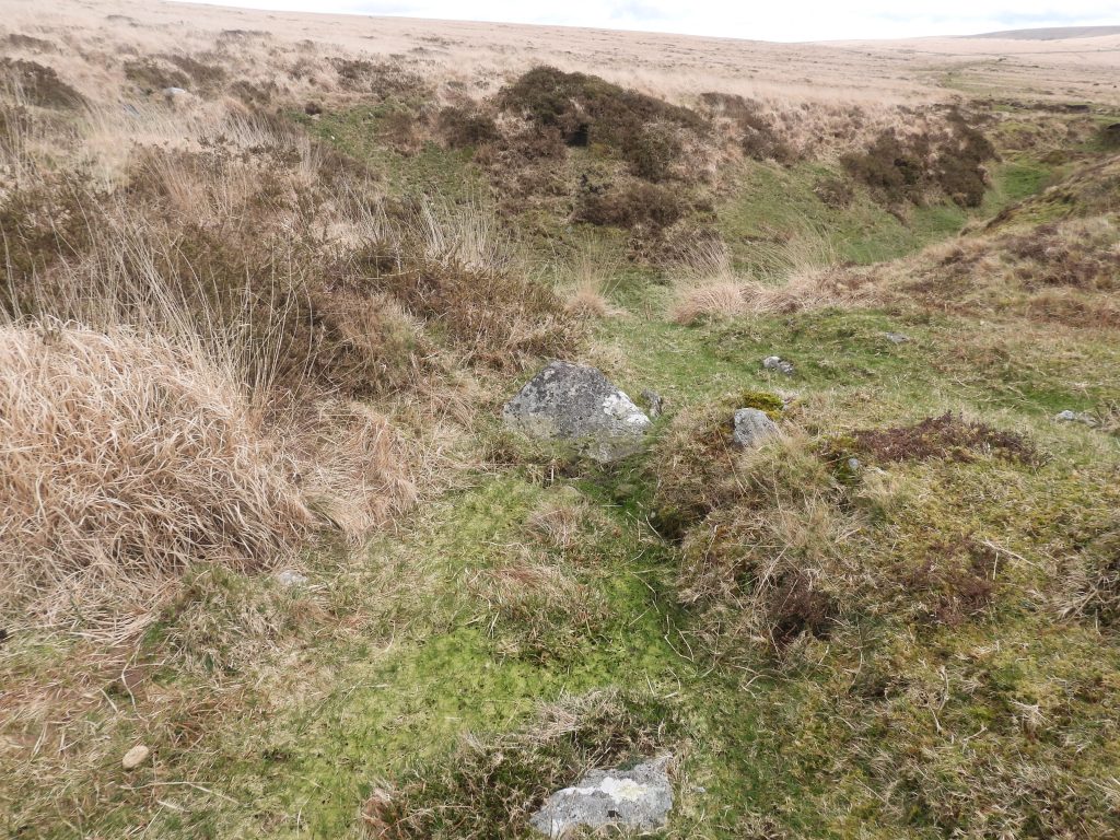
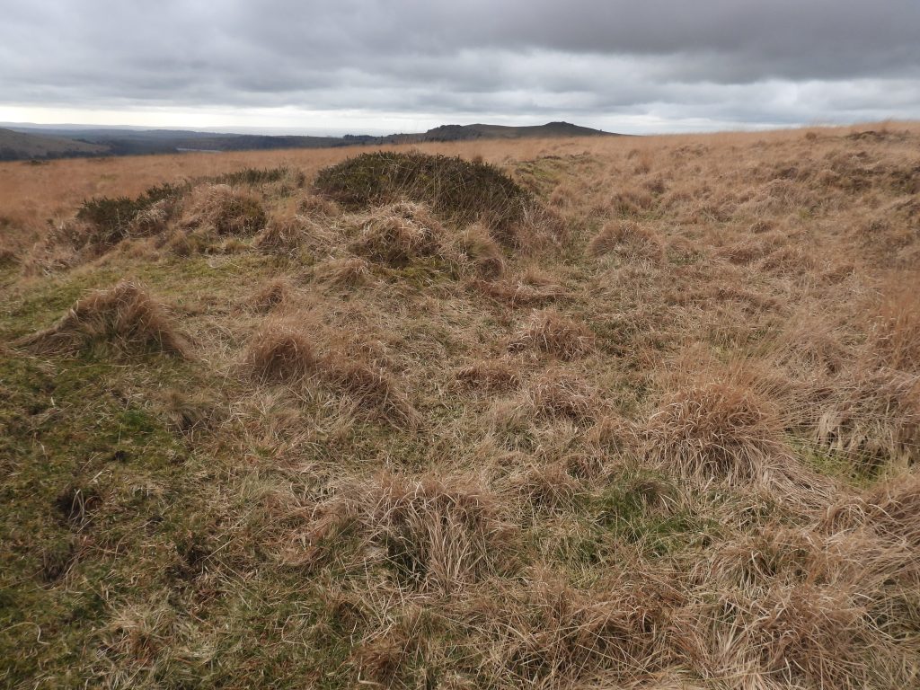
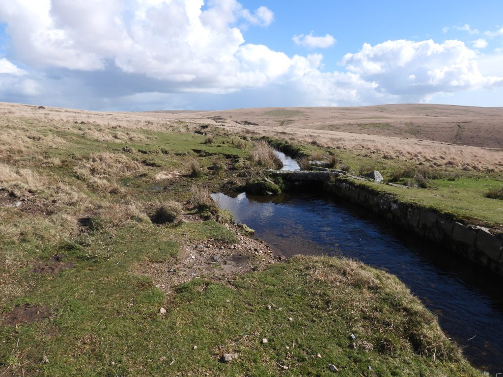
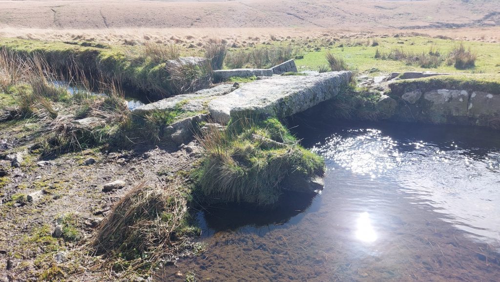
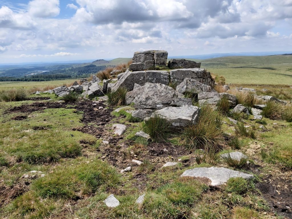
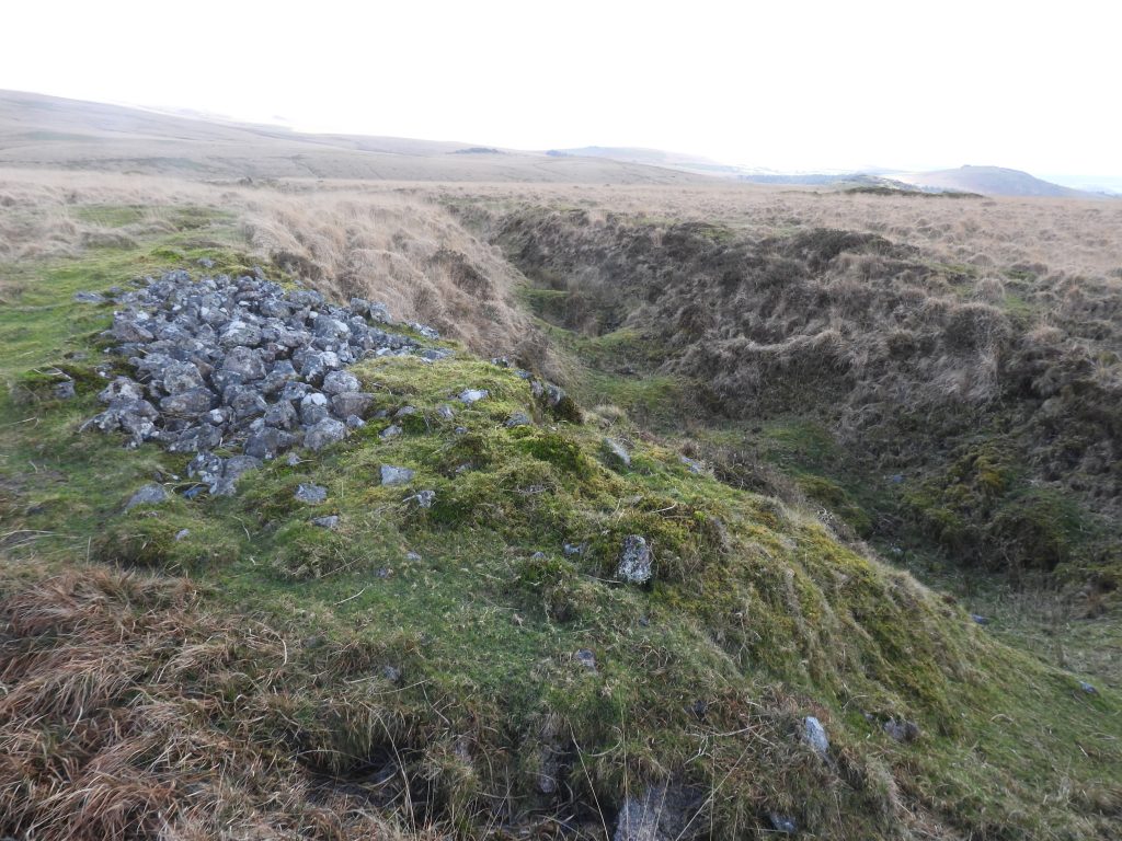
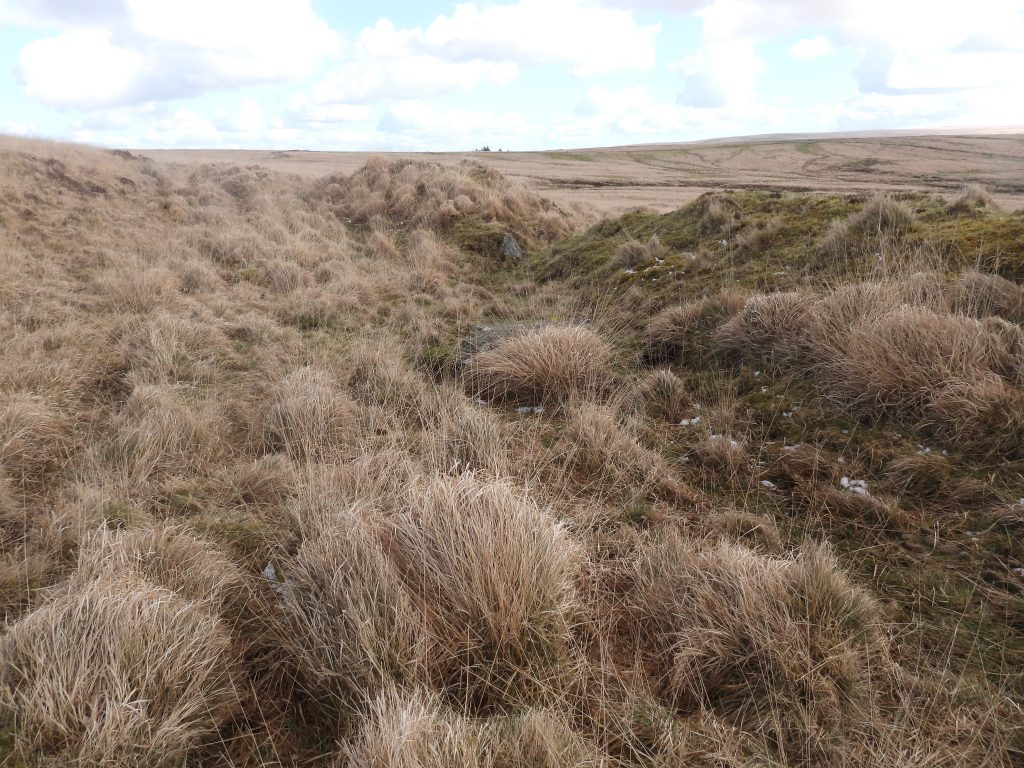
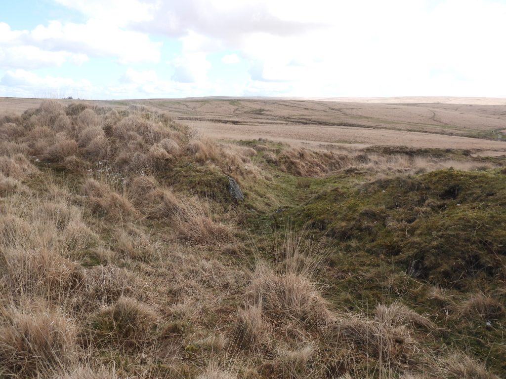
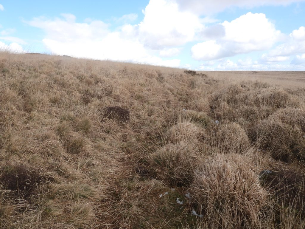
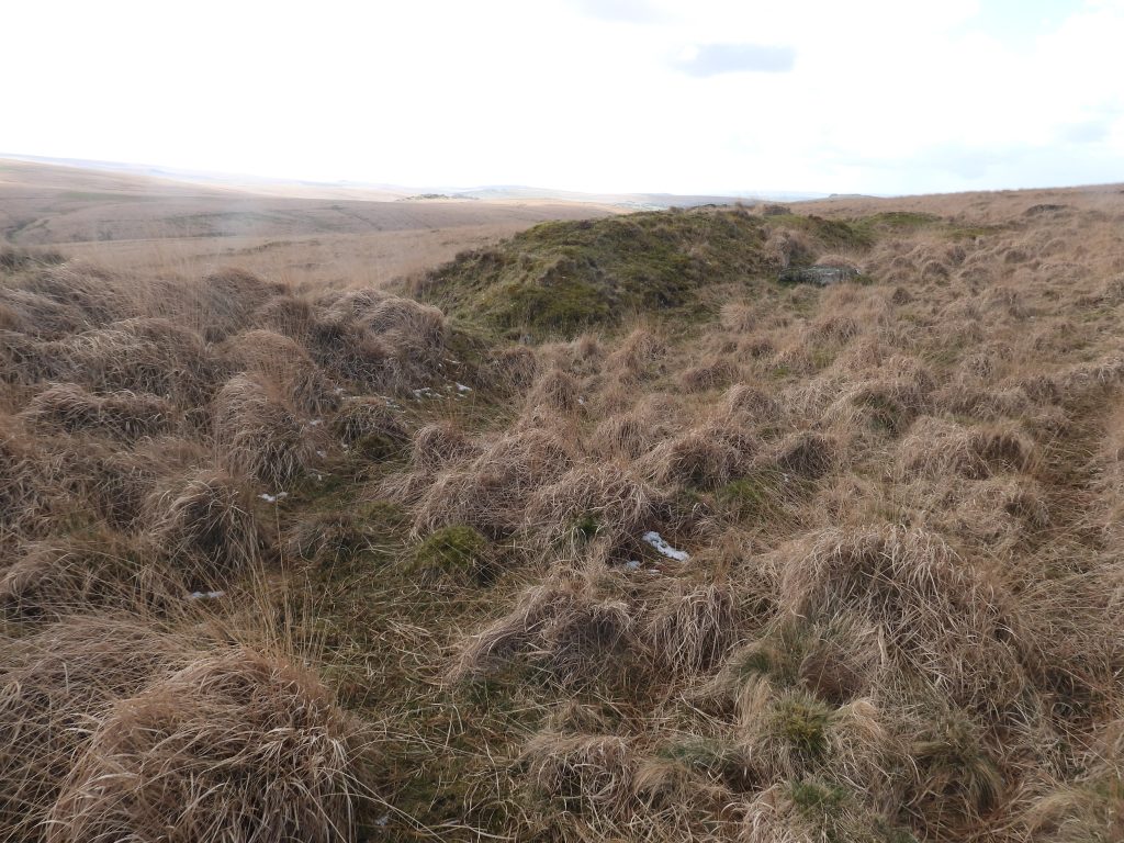
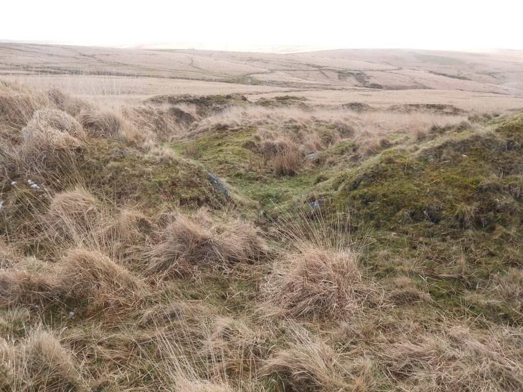
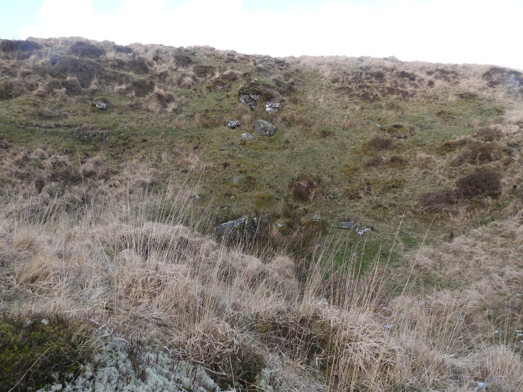
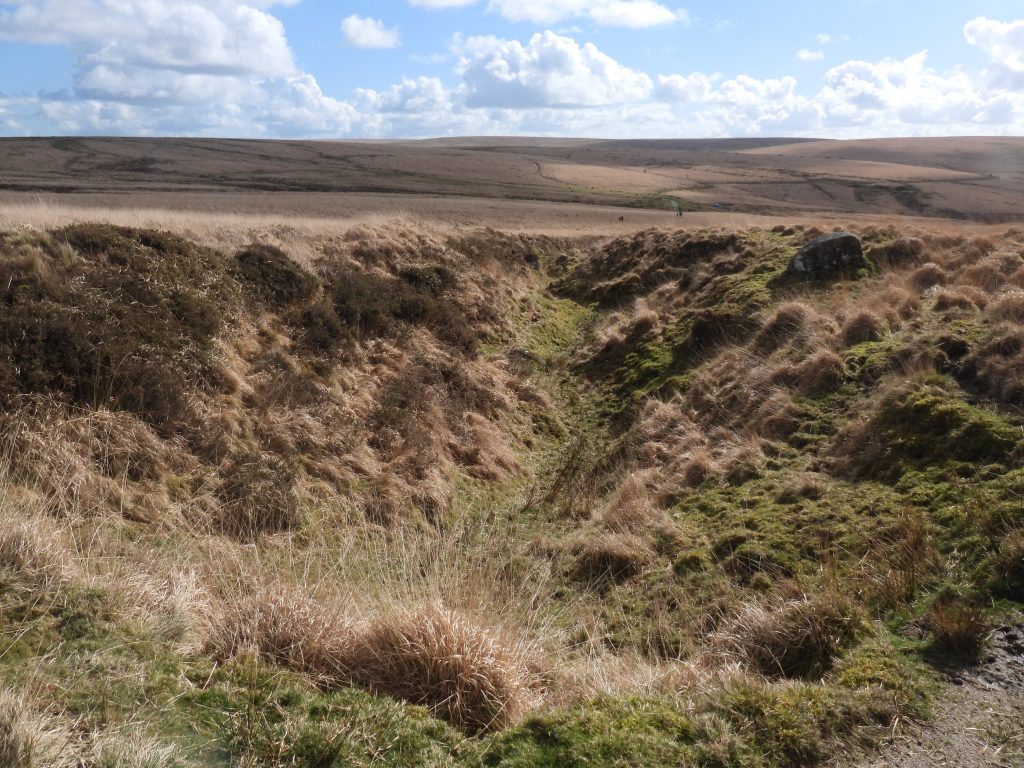
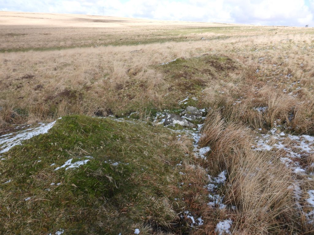
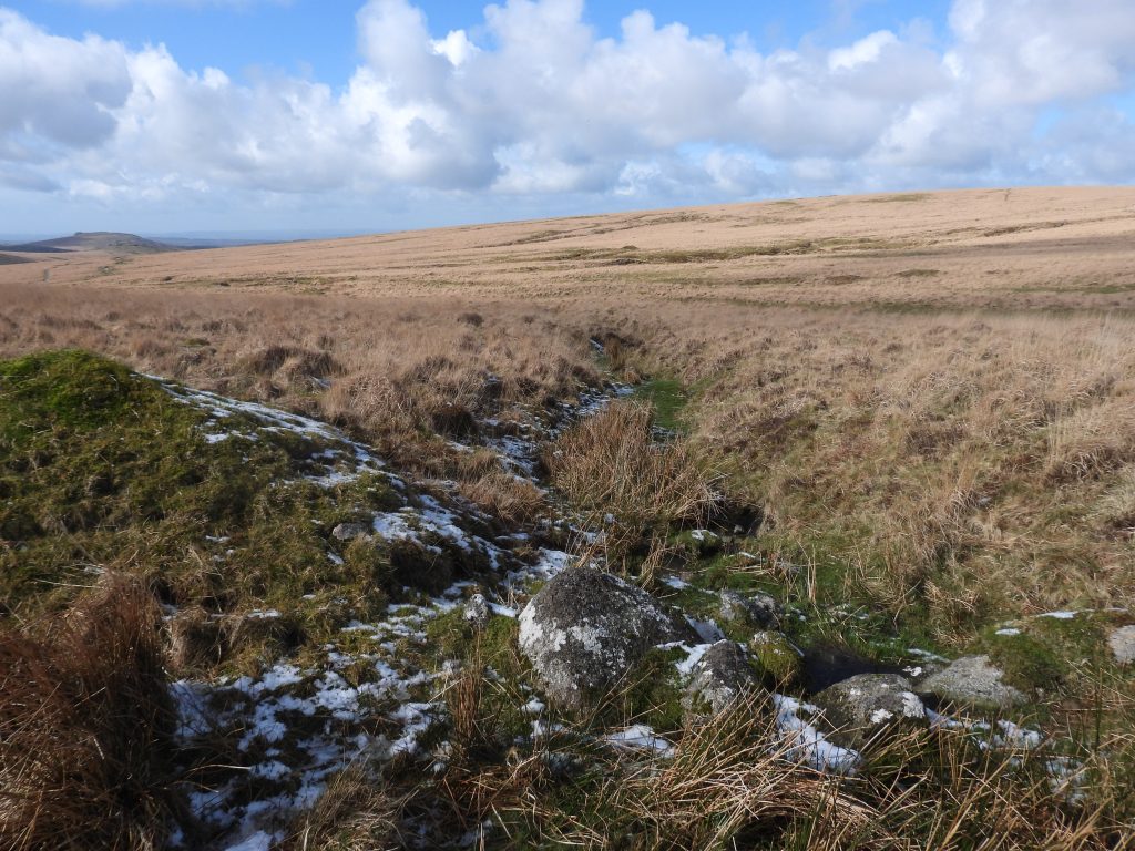
This sketch map shows the relative locations of all the key features covered in this post. Note the Tinners’ Reservoirs are labelled 1 to 16 and the Tin Workings A to HThe Tinners’ workings clearly visible using LiDAR as is Crazywell Pool, Cramber Tor, Cramber Pool and Devonport LeatCrazywell Pool is popular for wild swimming . It is not of infinite depth (as per legend) being only about 15ft deep. It is said that the bell ropes of Walkhampton church were once lowered into it without reaching the bottom a depth of 80 – 90 fathoms (540ft)John Lloyd Warden Page, wrote in 1889 : “Had it not been for the unusually dry summer of 1844, when the water was pumped into the leat (assumed to be Devonport Leat), the wild stories of its great depth might still have obtained credence. Since then The resulting drop in its actual depth has been ascertained, and in no spot exceeded fifteen feet”. In the openwork (labelled B on the map) there are scant remains of the Tin Mill. To the right of the large boulder (which was inside the mill) is a shallow depression, the wheelpit. The mill is located atSX58232 70366The wheelpit is rectangular and around 0.8 metres wide and 4 metres long. The wheelpit has masonry defining the north edge (adjacent to the mill)To the north west of Crazywell Pool is a Linear Tinners’ Reservoir (annotated number 1 on the sketch map).The Tinners’ Reservoir has a track running through it approx half way down its lengthAt the east end of the linear reservoir is evidence of masonry lining of a sluice opening which has survived remarkably well.The earthwork of the 70m long linear reservoir is about 1m in placesThe sluice end of the linear reservoir which would have provided water into the Craywell workings (now Crazywell Pool). This is located atSX58200 70523A poor condition Tinners’ Reservoir (annotated as number 2 on the sketch map)The reservoir is crescentic and measures 18m long. It is fed by a leat which came from Hart Tor Brook. It is centred atSX58310 70463The sluice opening which fed Claziwell openworksClaziwell Cross (also known as Crazywell Cross) comprises an original head and arms with a relatively modern shaft. It was another cross re-erected by Rev. H. Hugh Breton in 1915, having possibly once stood on the banks of the nearby Crazywell Pool. The head has the appearance of a Maltese Cross.Hemery records in High Dartmoor that the original cross base has disappeared together with evidence of its (original) true position. The head and arms are original and were discovered lower down on the hillside (near the track one assumes). It is located atSX58377 70394View from the edge of Tinners’ Reservoir 3, overlooking the bend in Devonport Leat as it sweeps around and across Streamworks (annotated A on the sketch map). Devonport Leat was constructed from 1795-1802 to supply water to Plymouth Dock (known as Devonport after 1824). The streamworks were recorded in an archaeological field survey in 2006. They were measured as being approximately 2.05 hectares in area extending above and below the leat. The streamworks are oriented southwest to northeast and recorded as measuring 540 metres long by 67 metres wide (Newman)Tinners’ Reservoir 3 is located at SX58198 70781Tinners’ Reservoir 3 as like many is the area is crescentic in shape. It was supplied by rainwater and was probably built to supply stream working (A) below.Tinners’ Reservoir 3 has a clear sluice opening as shown in the photographTinners’ Reservoir 3 measures 25m long and is in good condition. It is 5m wide with banks up to 1.1 metre high. The central sluice opening is approximately 1 metre wide. The bend in Devonport Leat, with streamworks below (left of picture) and Tinners’ Reservoir 3 above (top right of picture)The Devonport Leat sluice / overflow directs water into the StreamworksFootbridge 1 across Devonport Leat looking west (downstream). The bridge is located at SX58352 70567
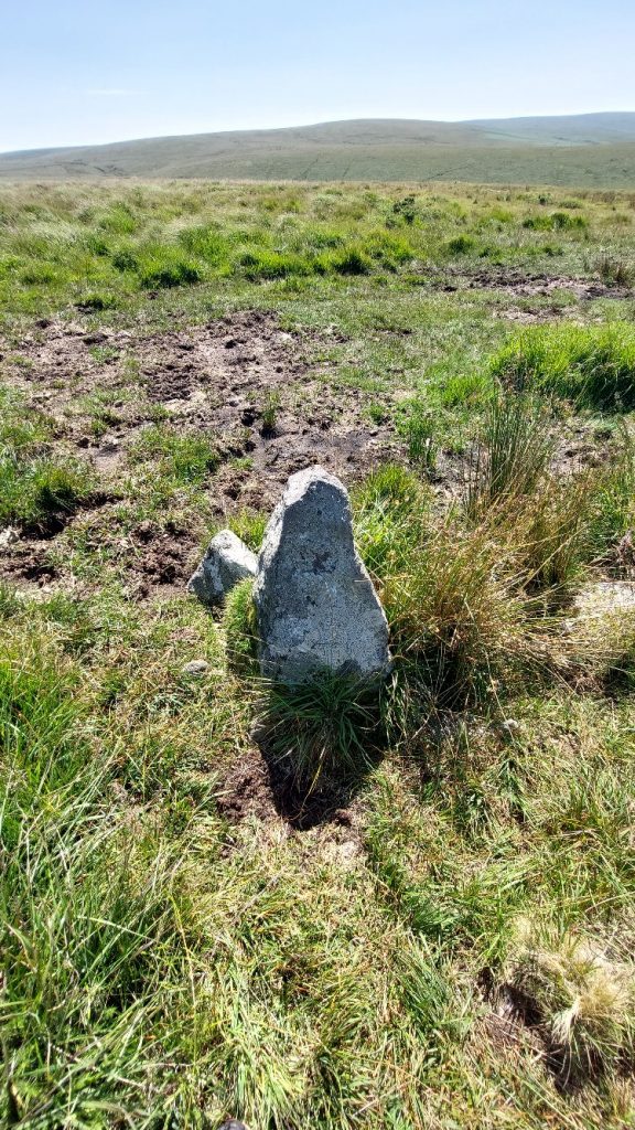
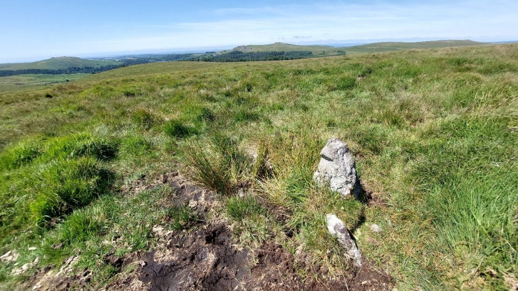
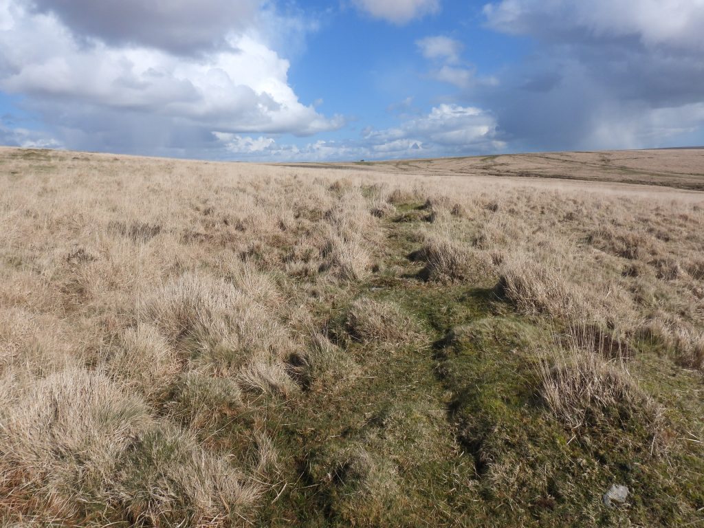
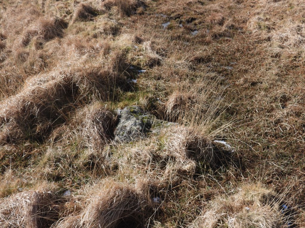
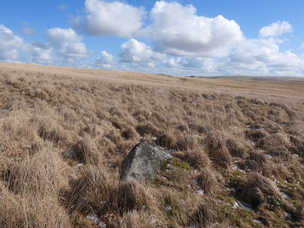
Next to the path from Footbridge 1 heading towards Cramber Tor is a small upright stone at SX58361 70616
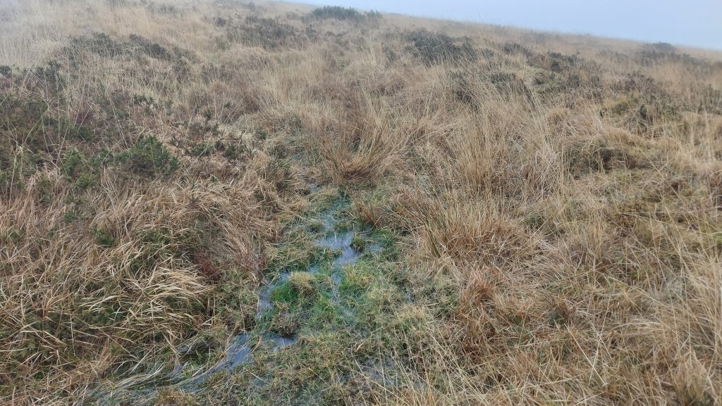
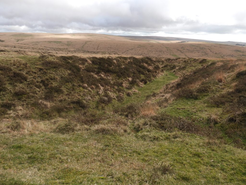
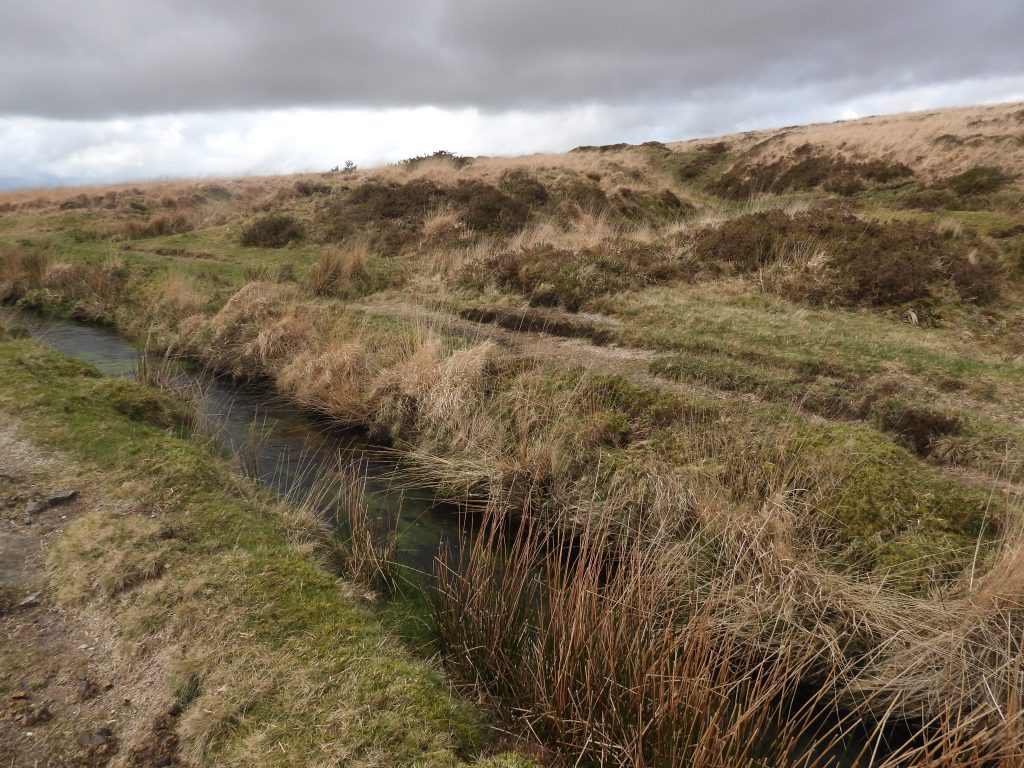
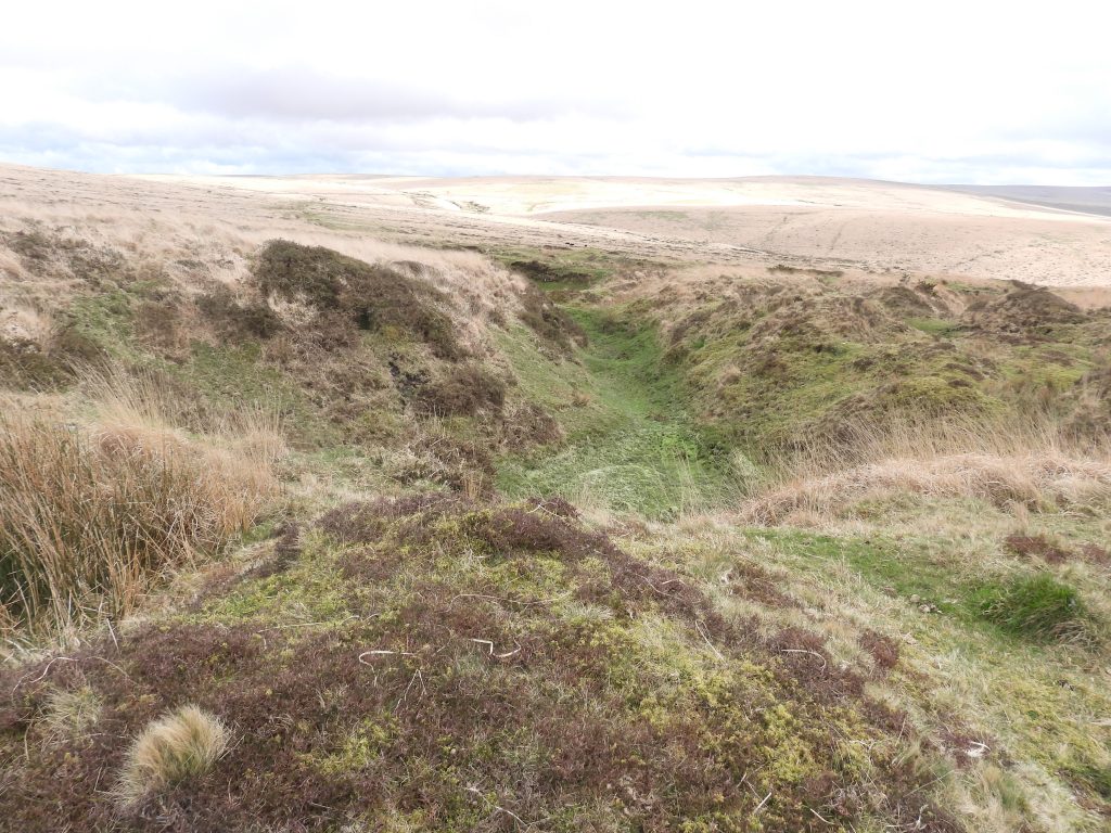
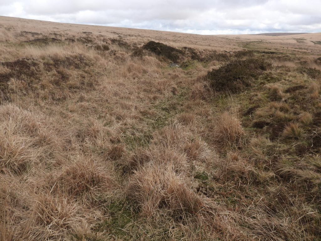
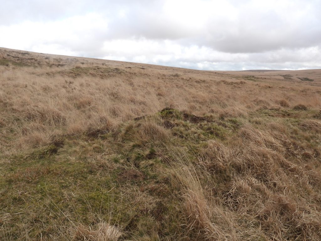
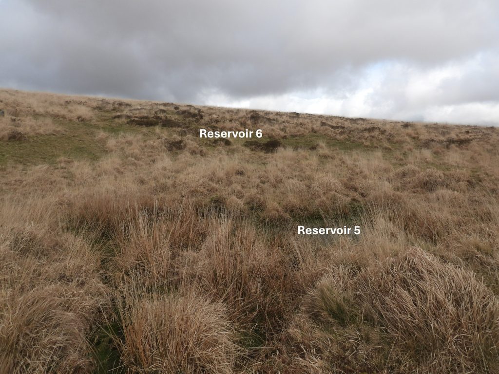
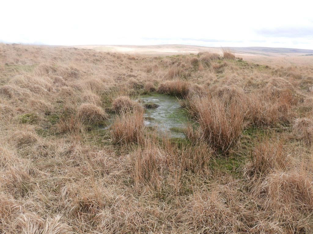
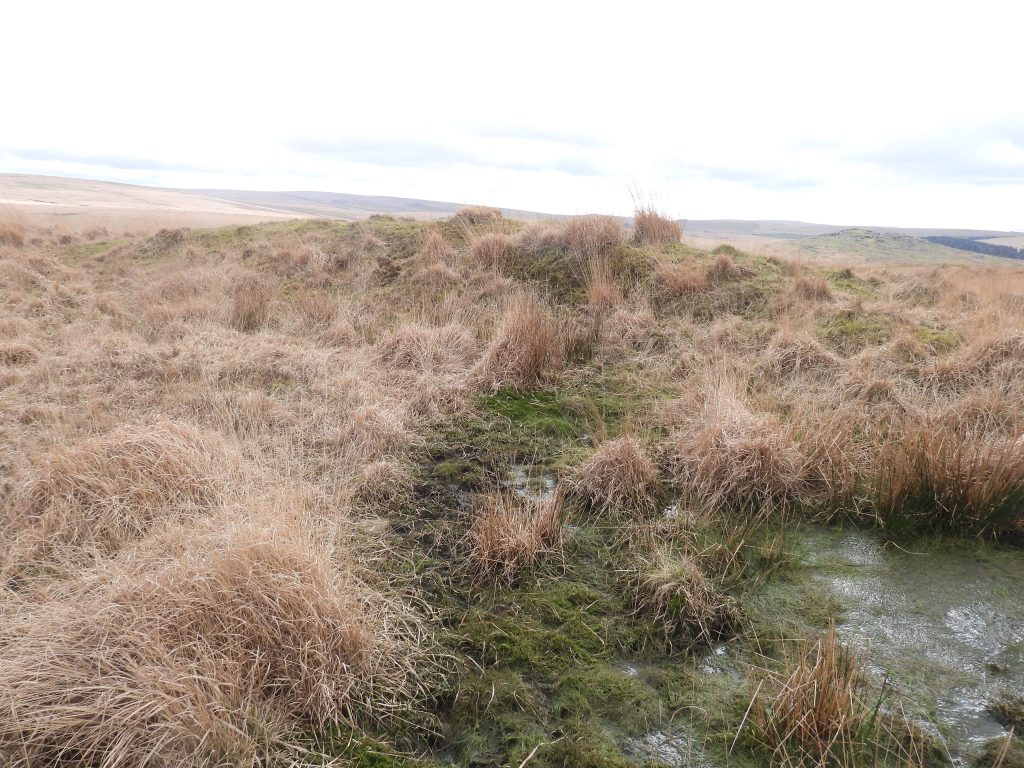
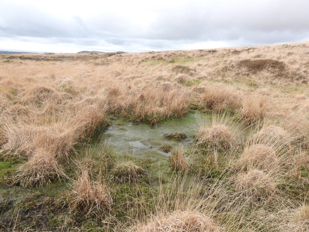
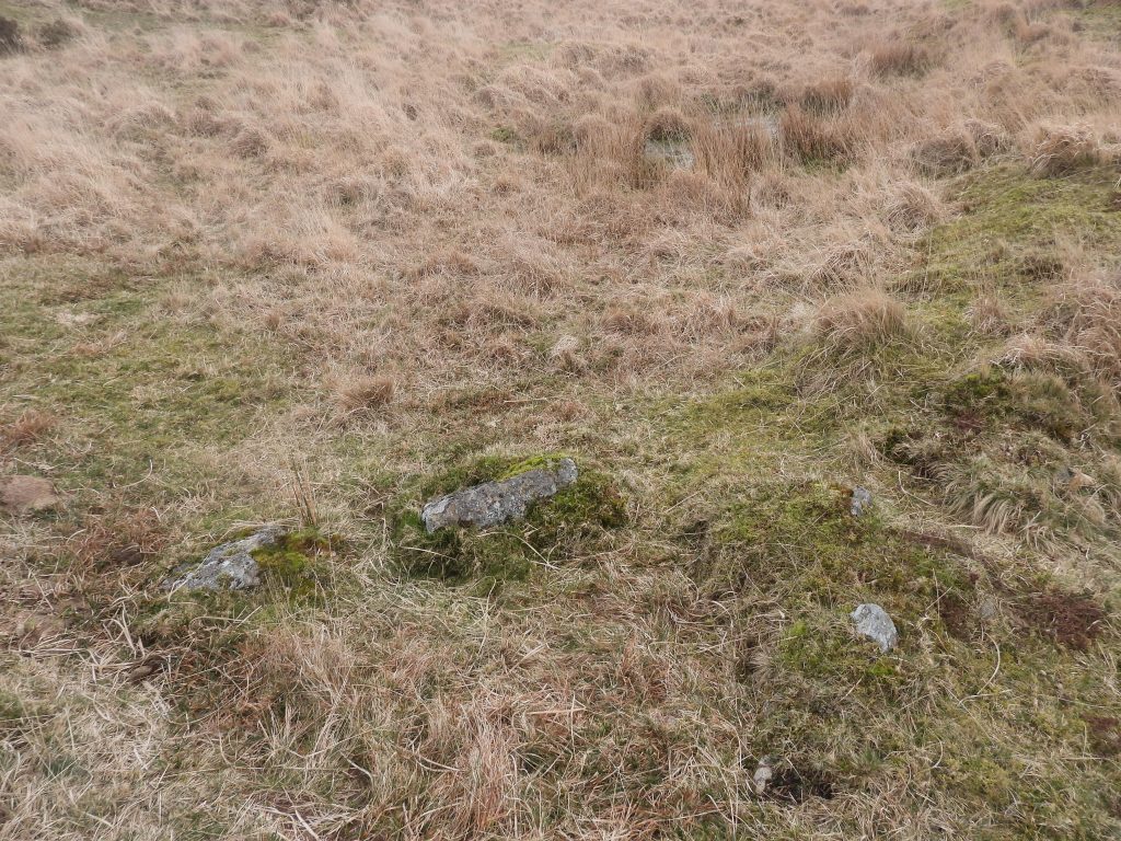
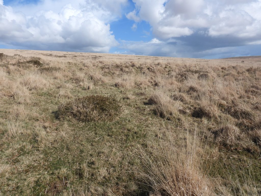
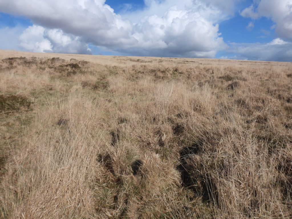
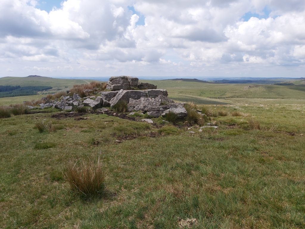
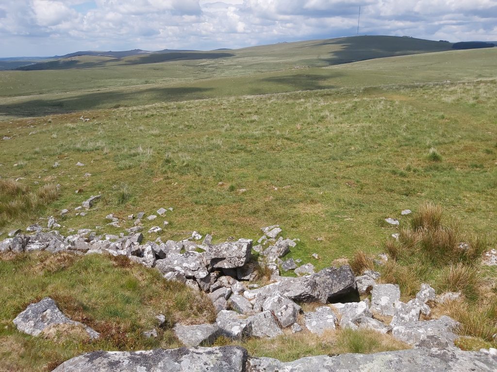
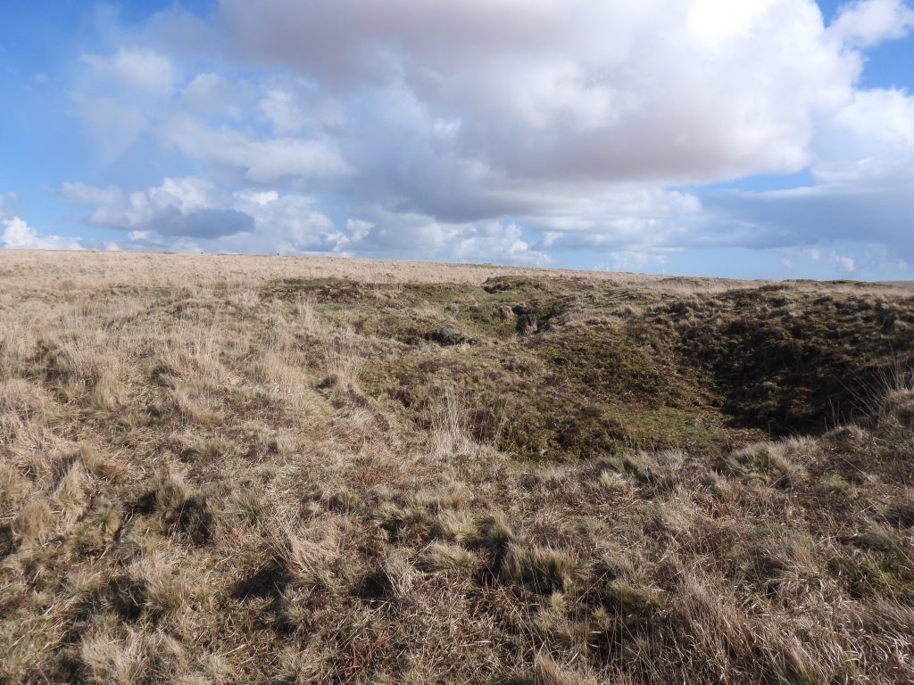
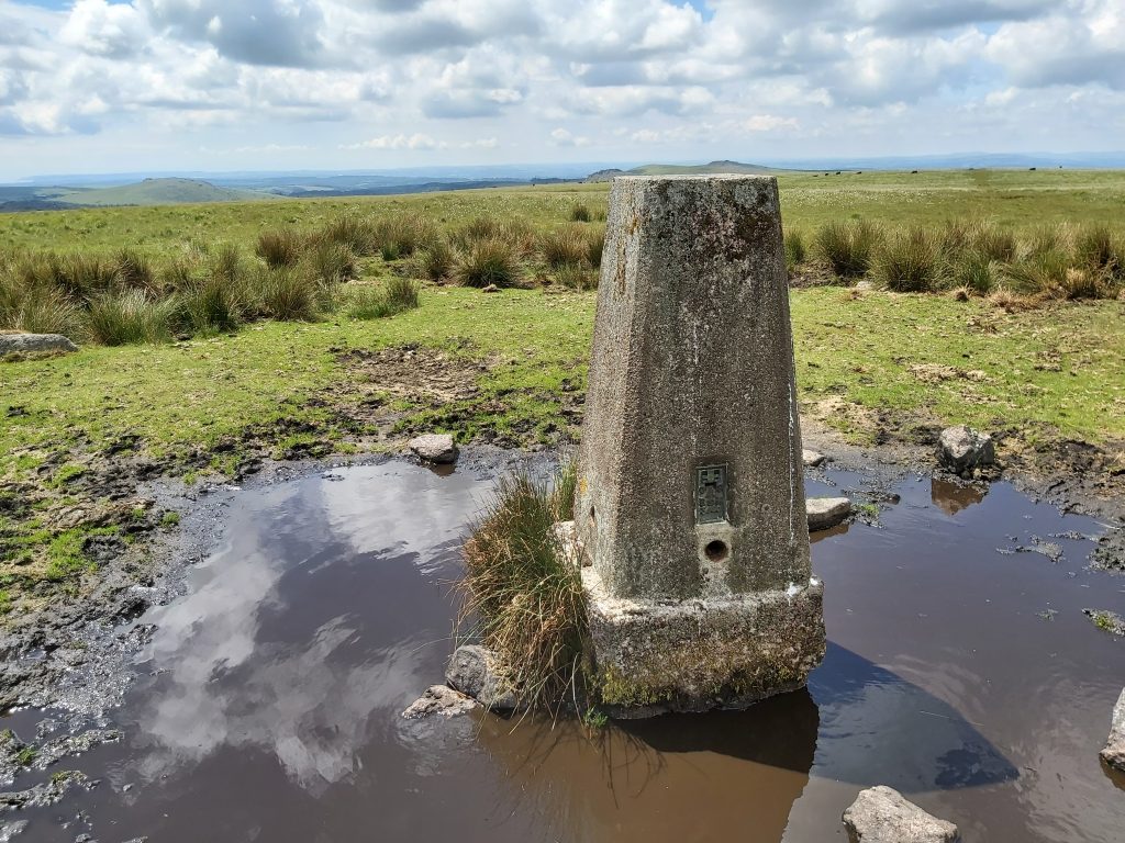
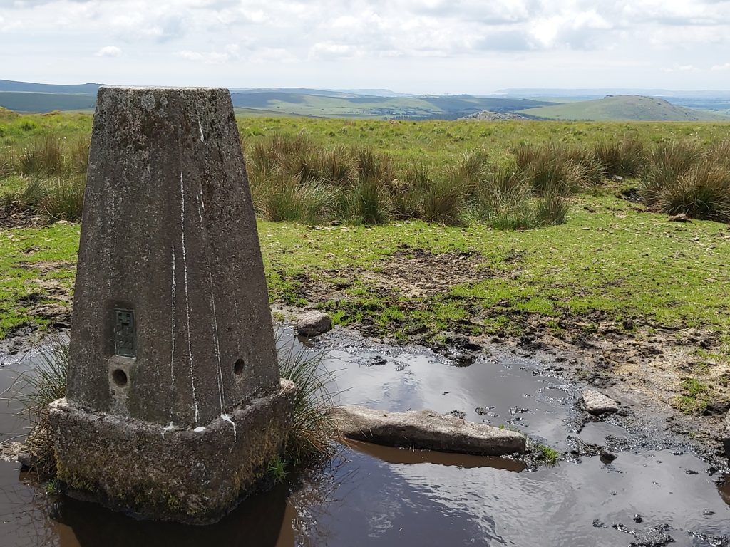
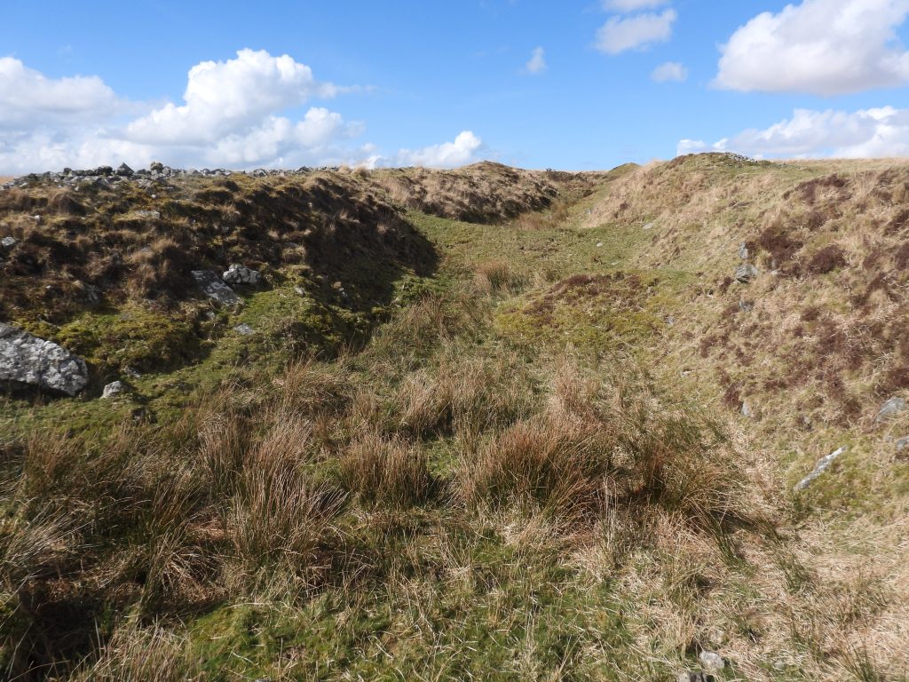
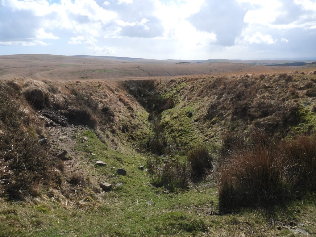
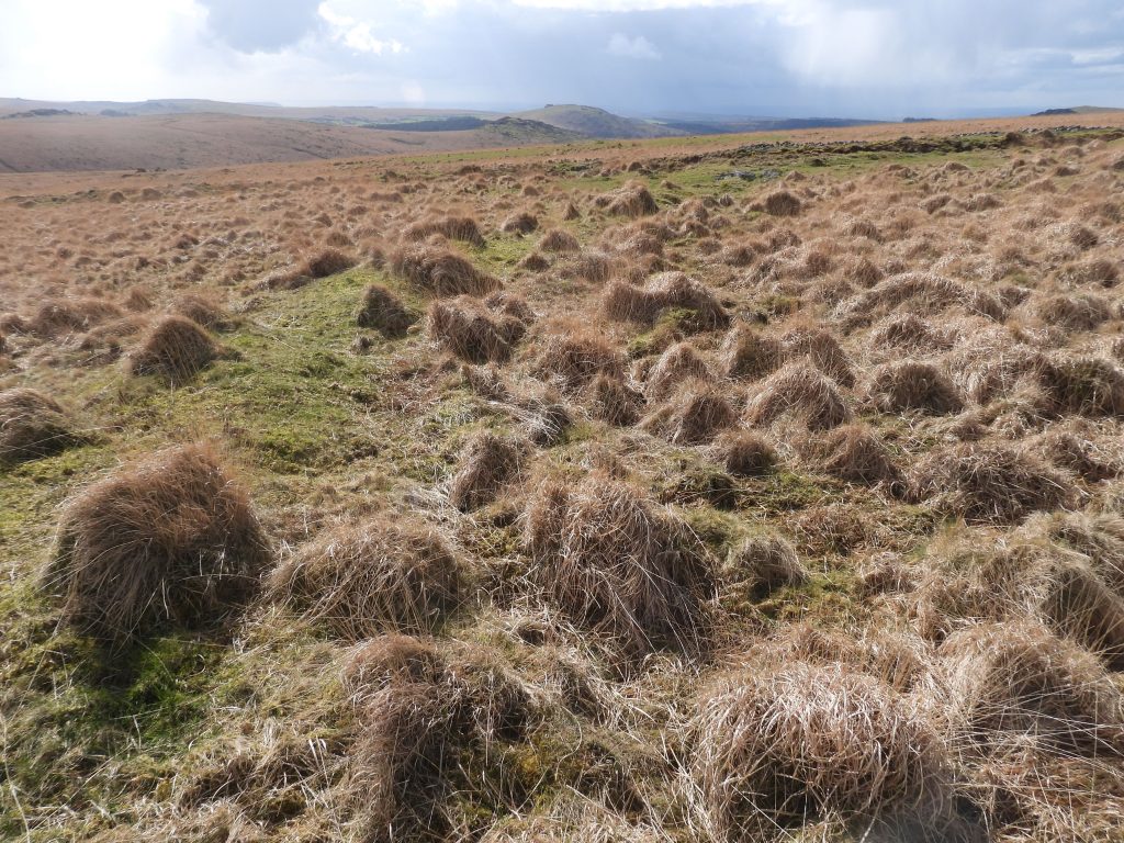
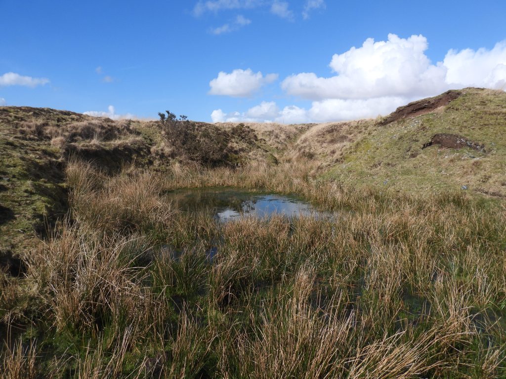
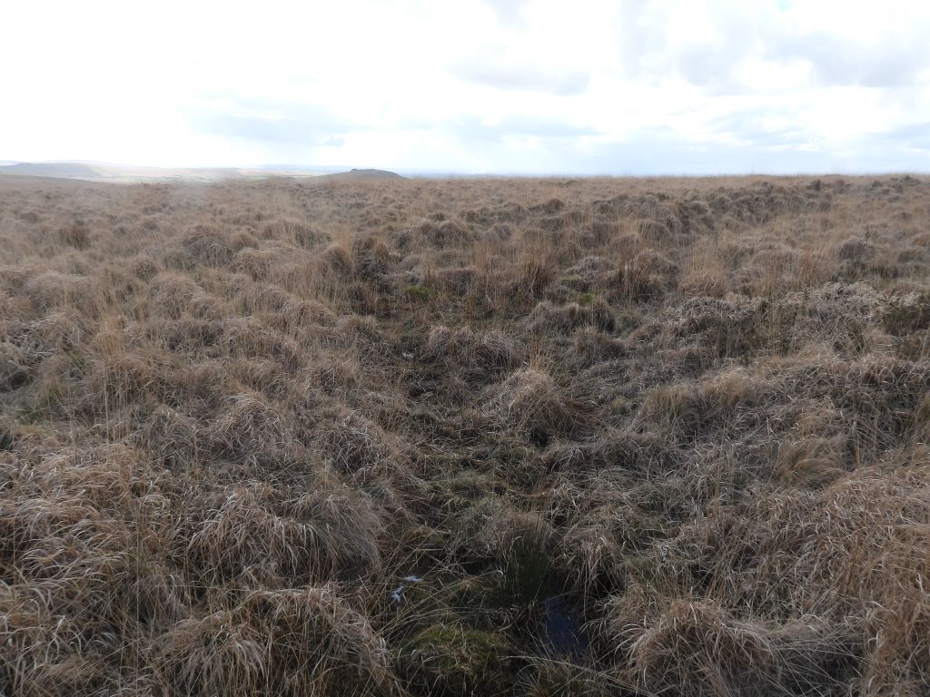
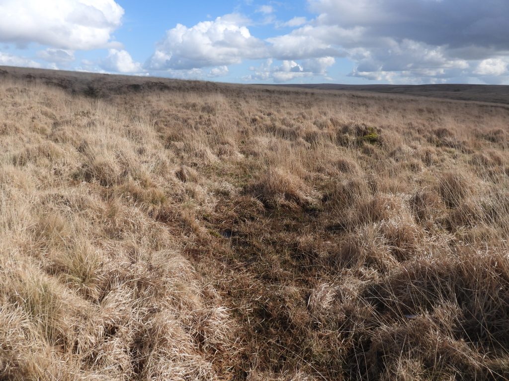
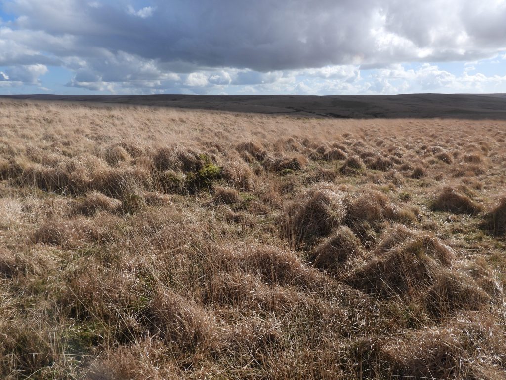
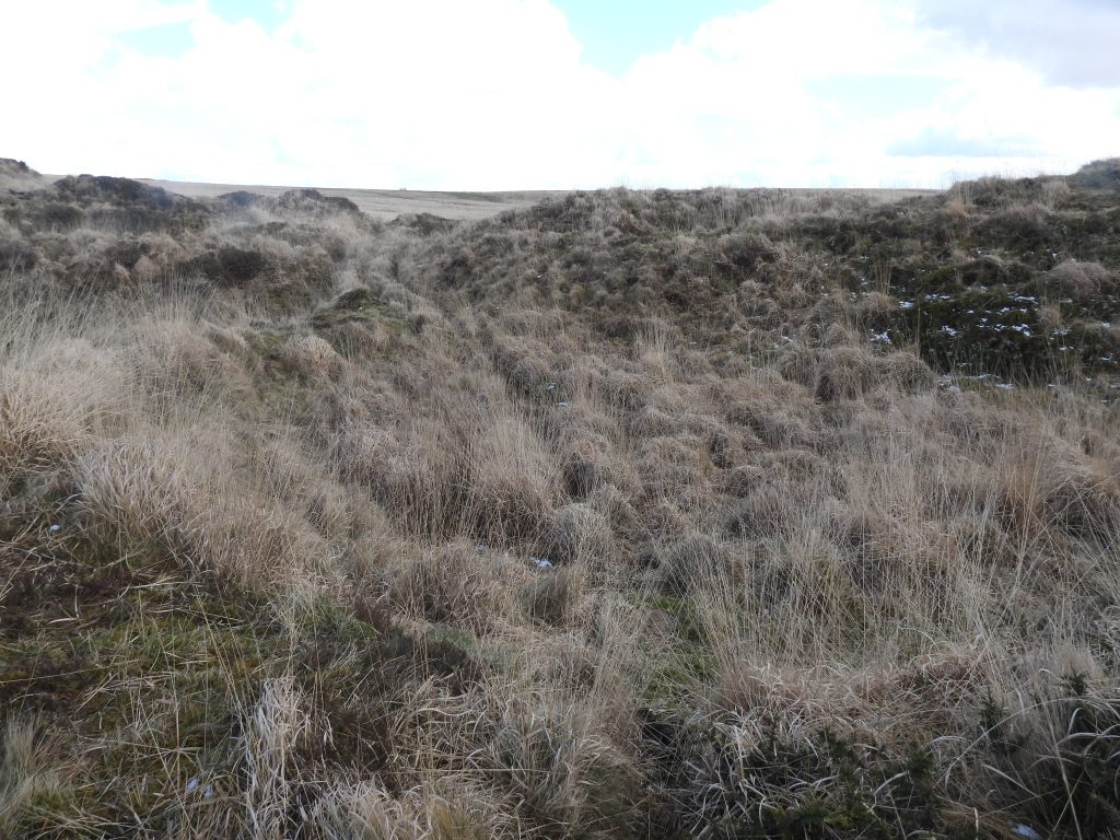
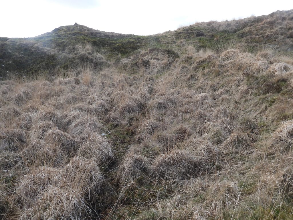
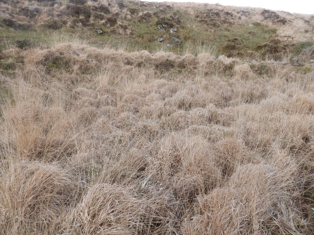
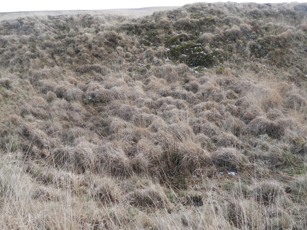
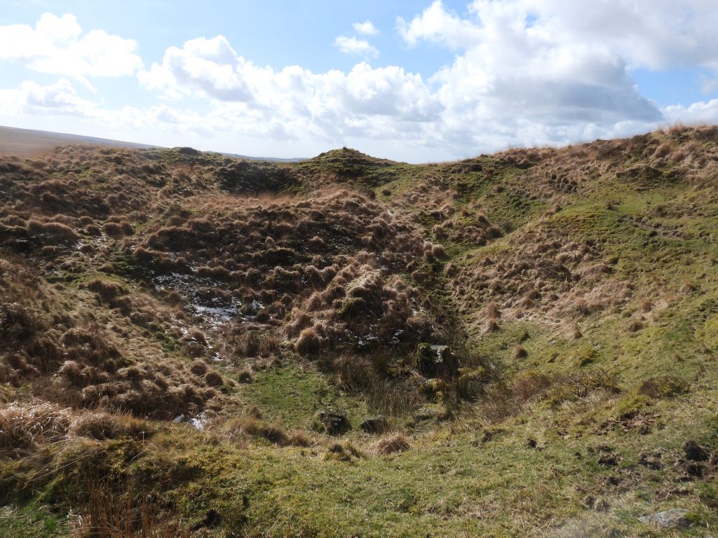
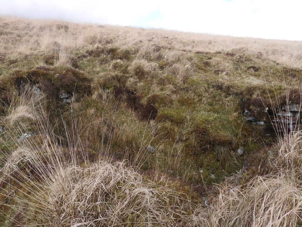
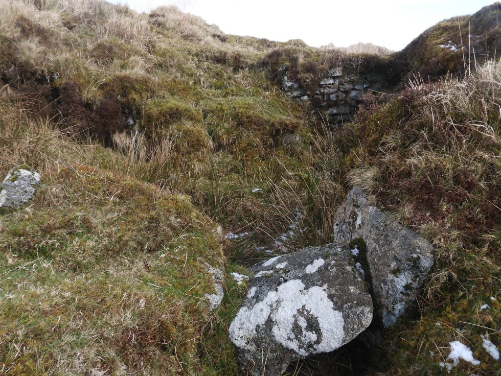
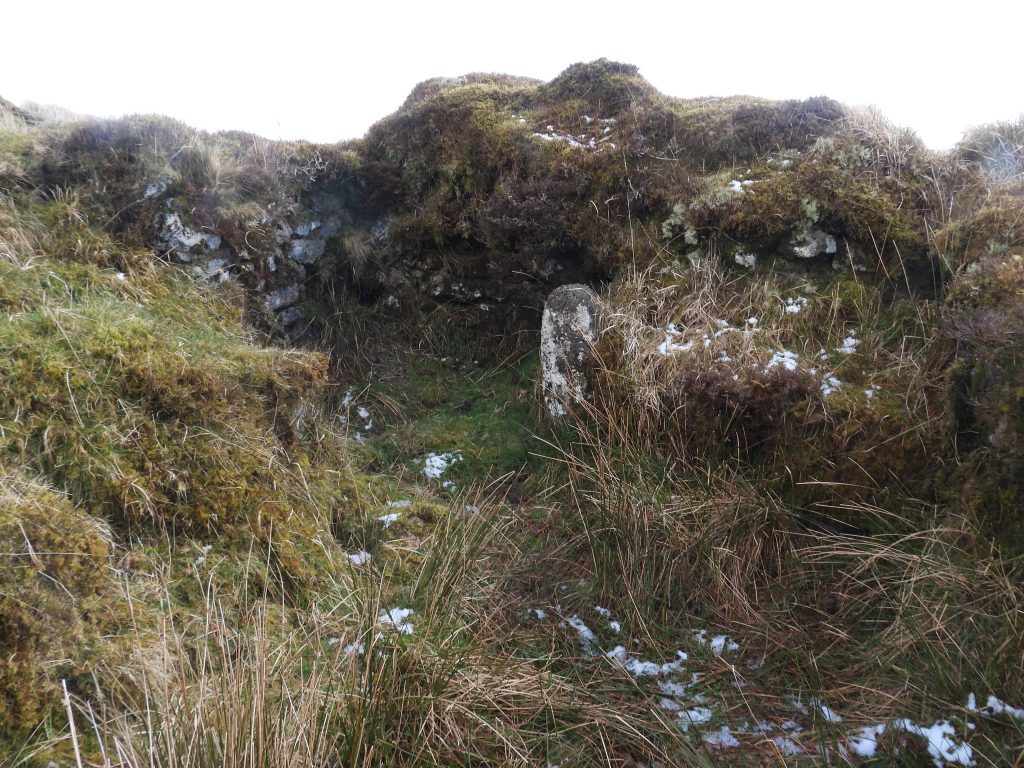
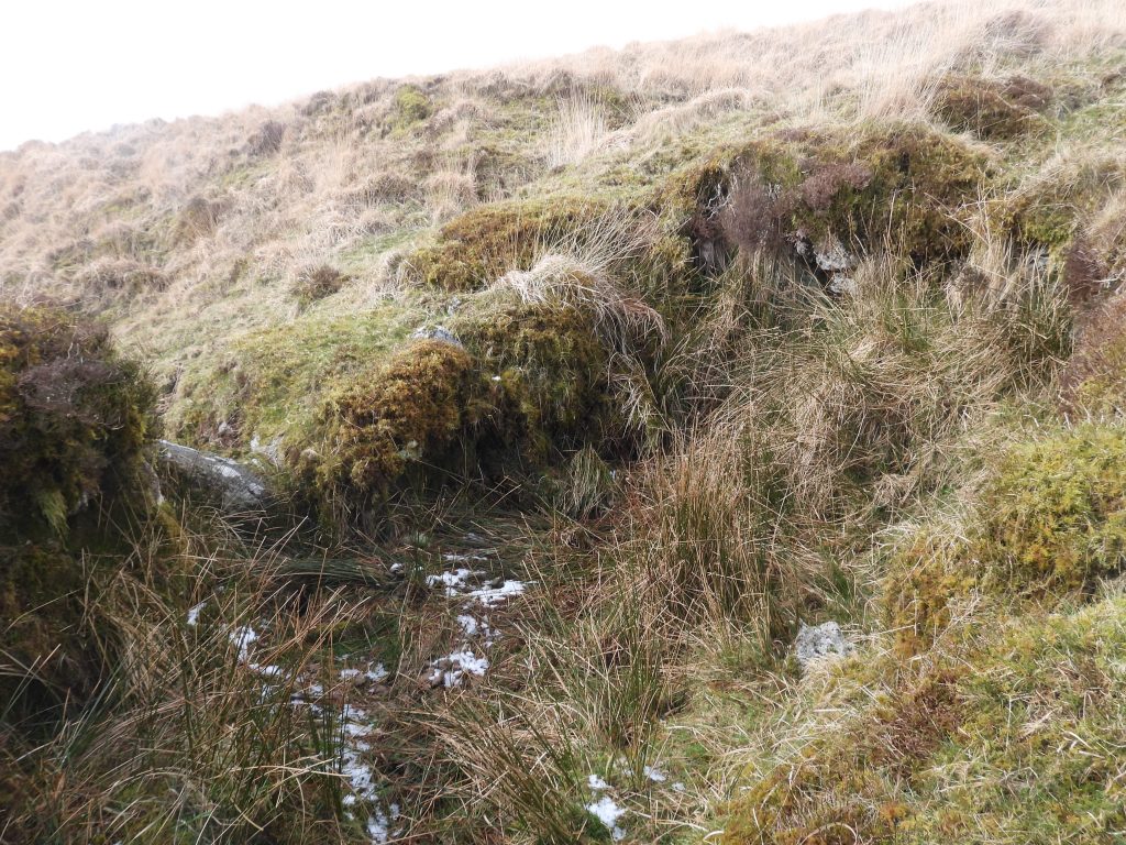
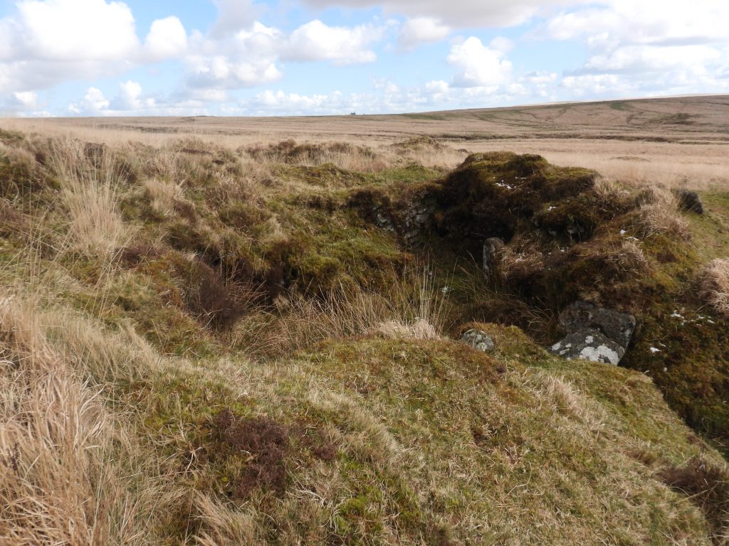
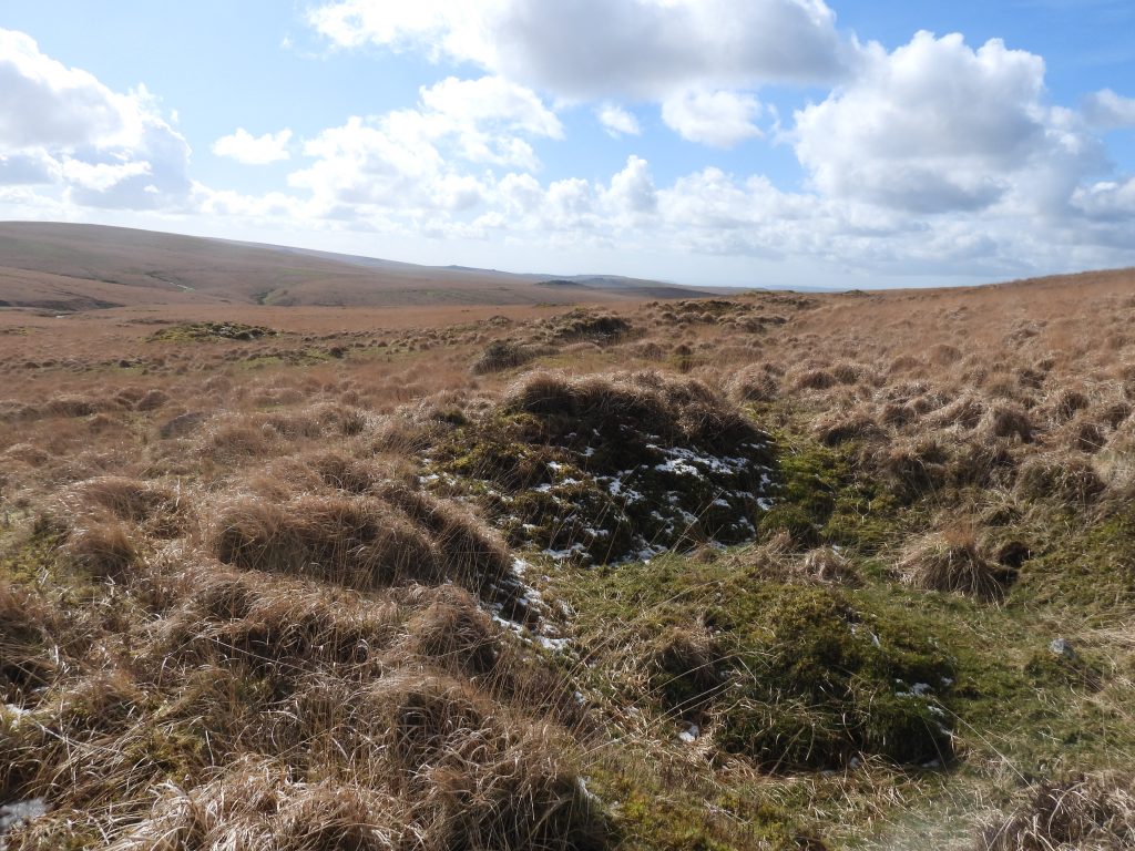
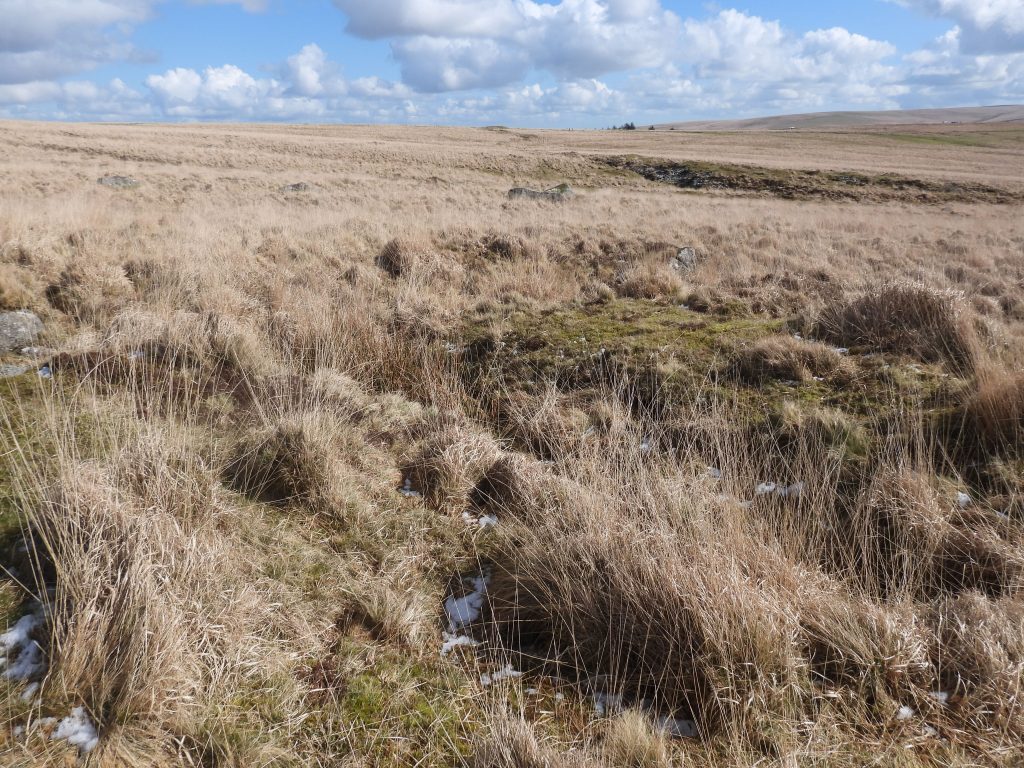
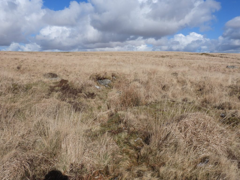
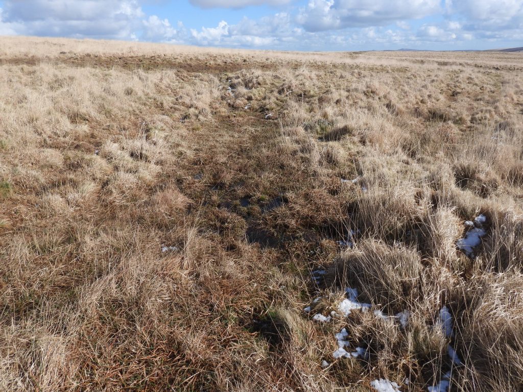
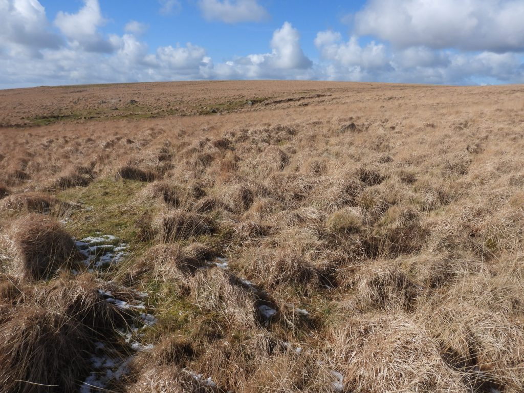
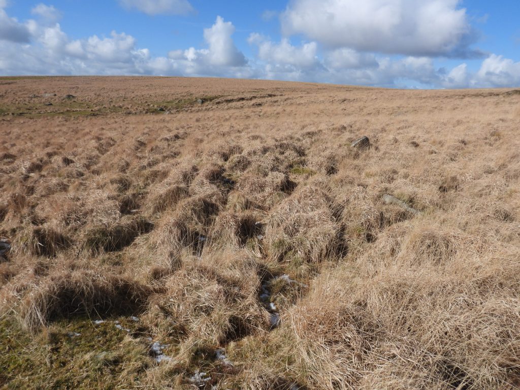
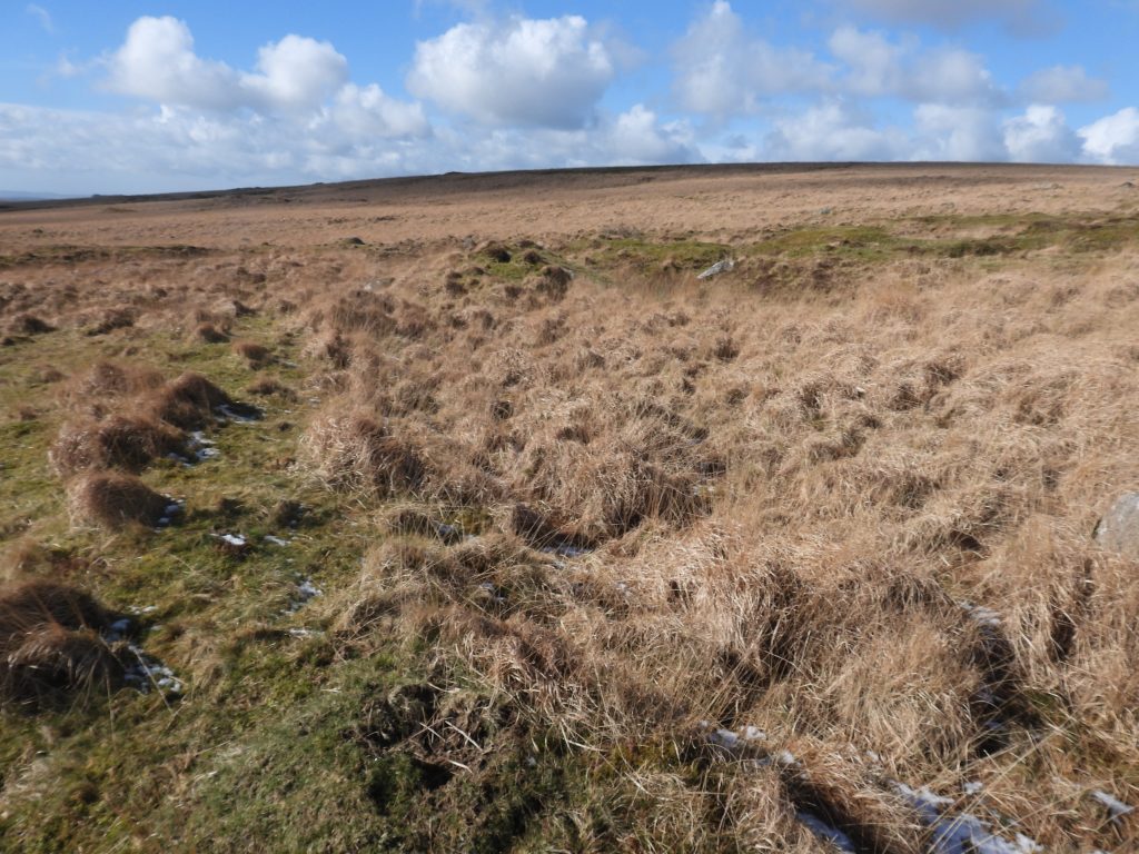
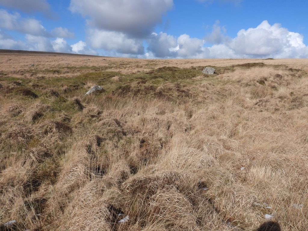
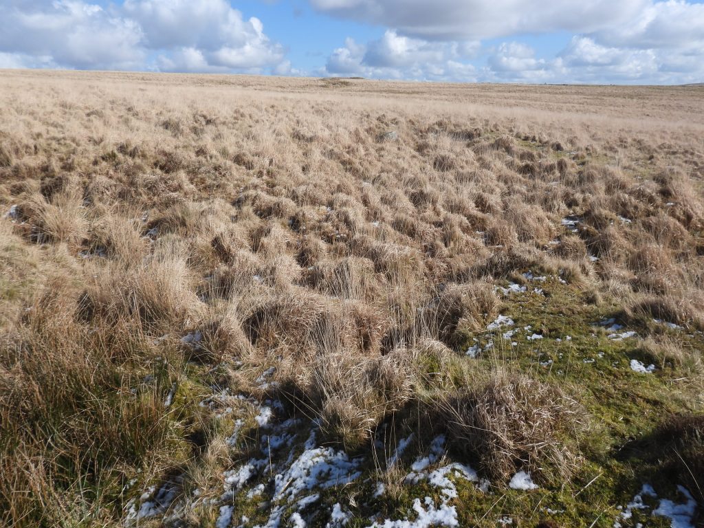
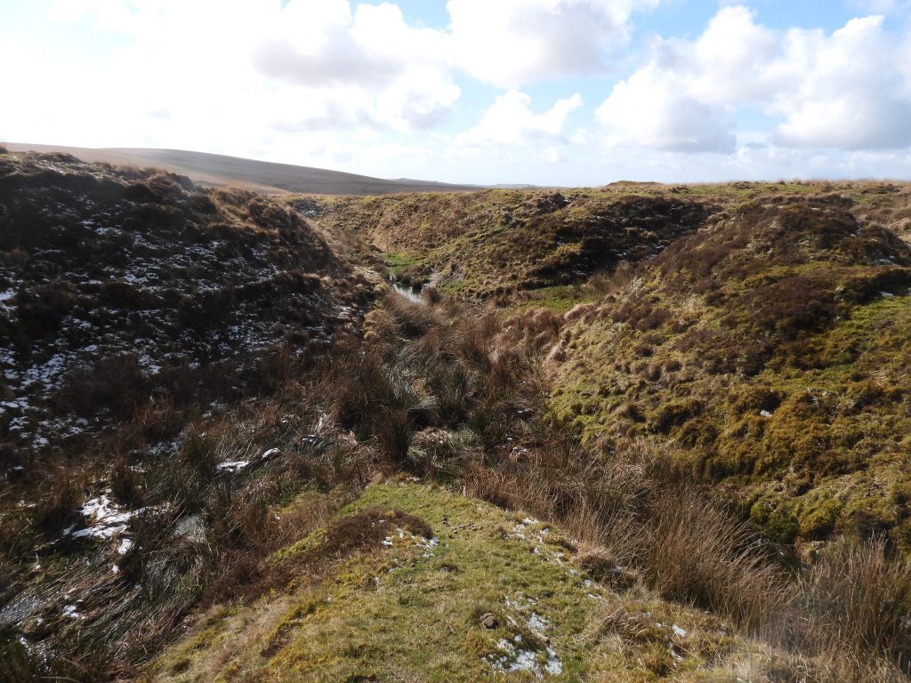
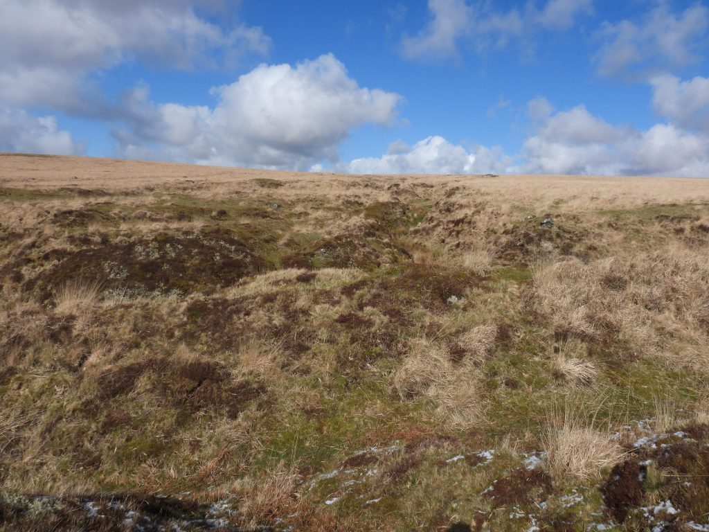
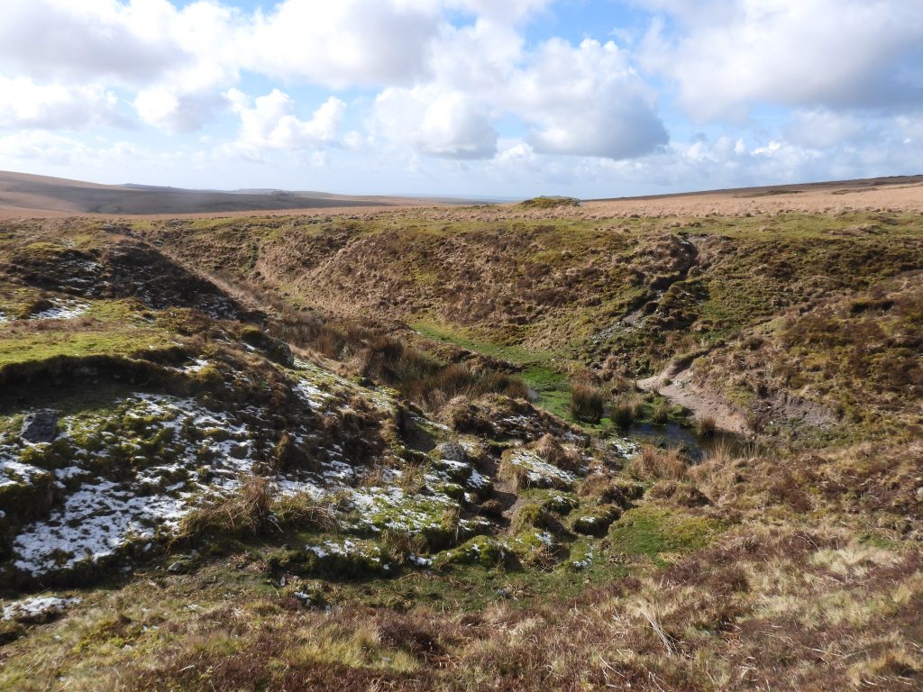
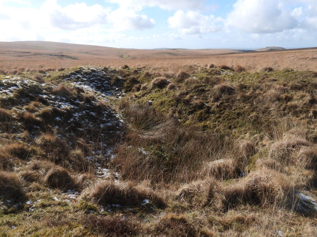
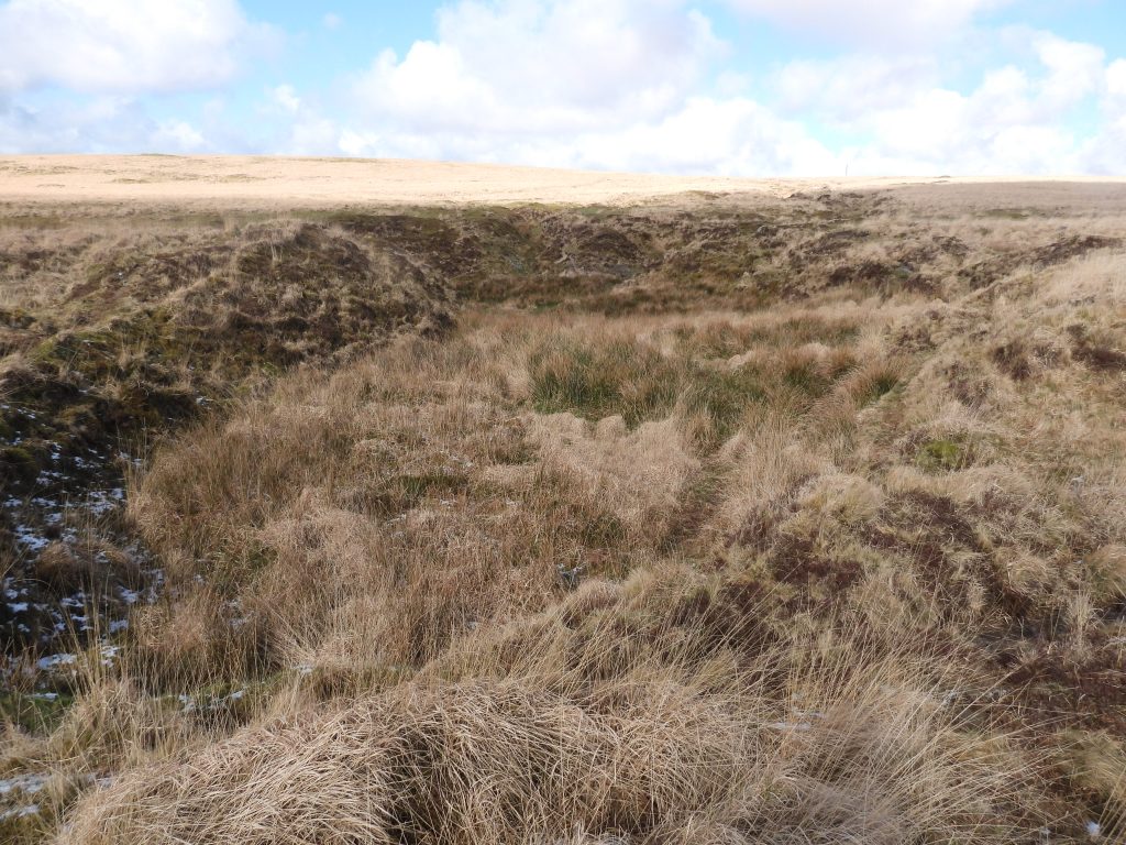
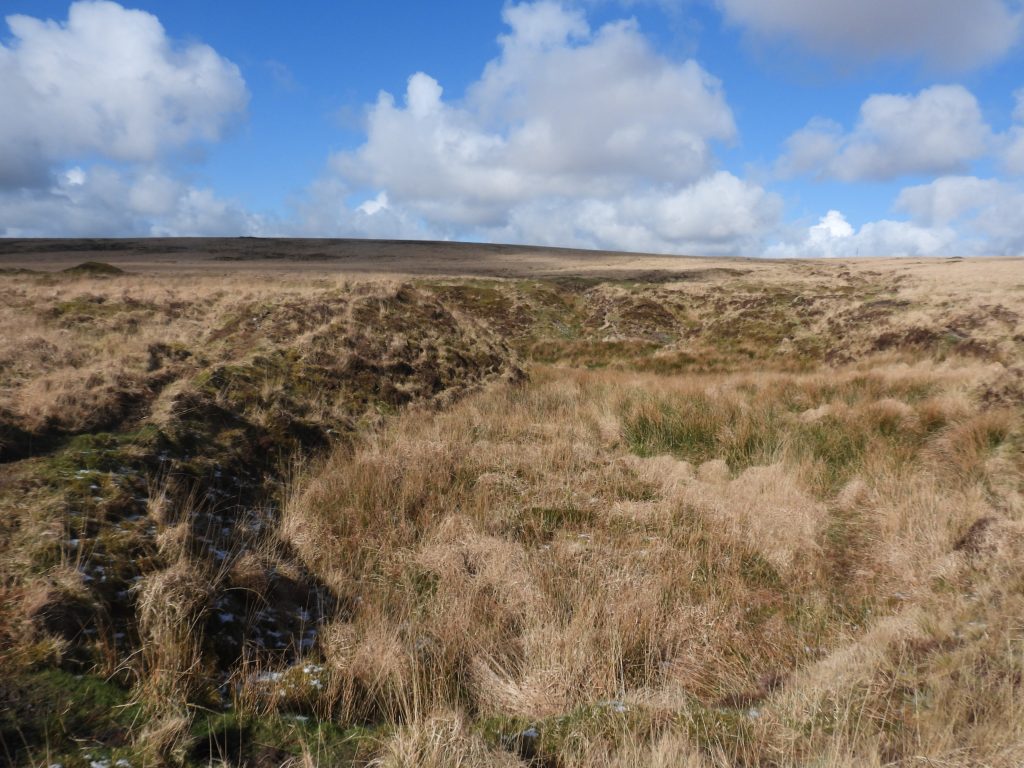
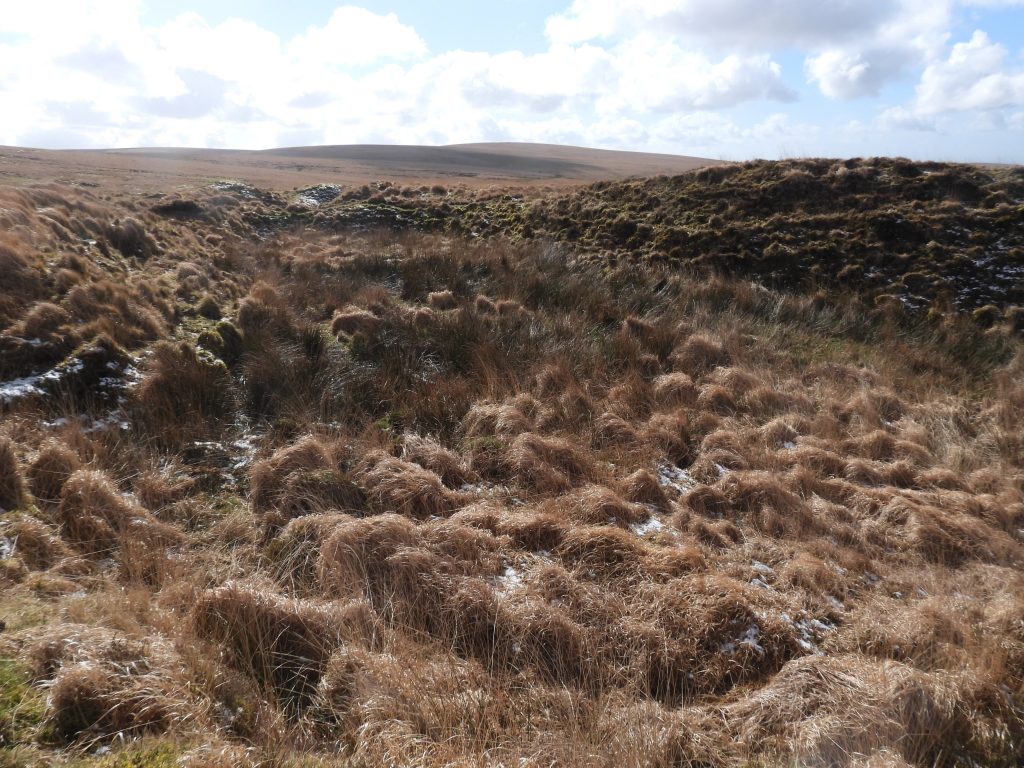
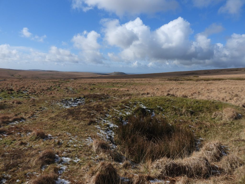
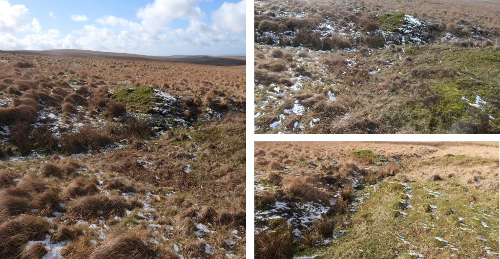
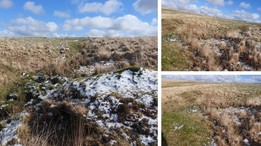
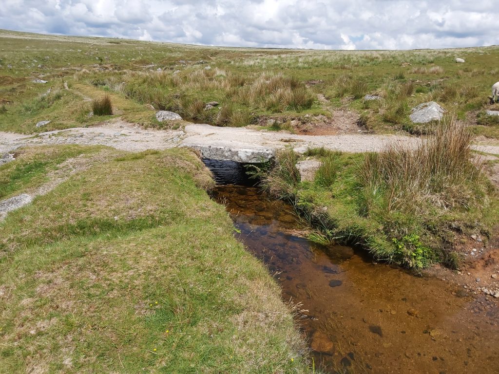
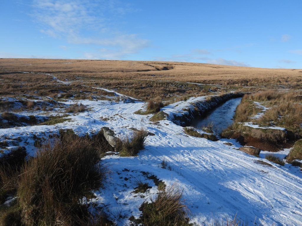
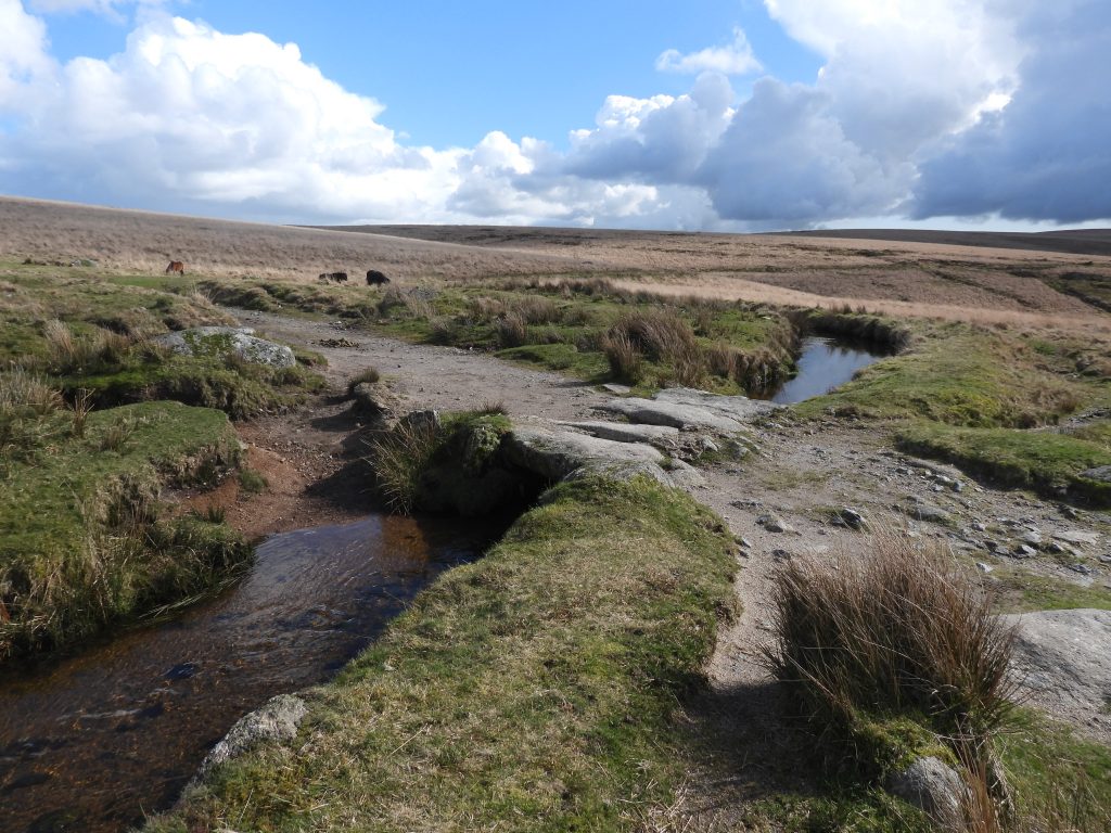
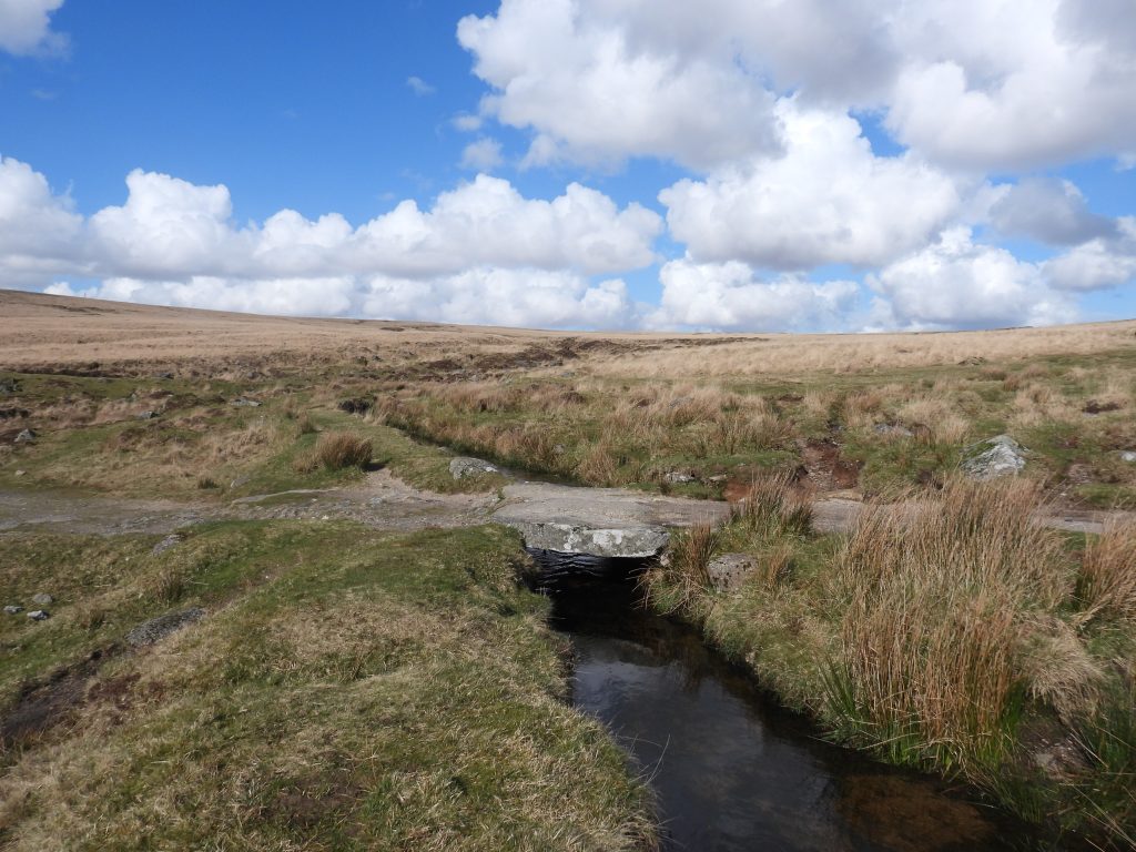
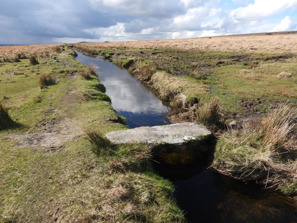
The upright stone was thought (in 2016) by B. Radcliffe to be a clayworks boundary stone. That said, there is no known (to the author) clay activity in the immediate vicinityOpenwork east of Claziwell (annotated C on sketch map)Another view of the openwork east of Claziwell (annotated C on sketch map)Openwork east of Claziwell (annotated C on sketch map) crosses Devonport Leat thus will have predated the construction of the leat (1795-1802)Openwork C above Devonport LeatTinners’ Reservoir 4 at SX58468 70637 would have fed the openworkMasonry lining of the sluice of Tinners’ Reservoir 4Tinners’ Reservoir 4 is 20m longTinners’ Reservoir 5 is located at SX58569 70618Tinners’ Reservoir 5 fed water to Openwork C is 25m longTinners’ Reservoir 5 banking in foreground, Tinners’ Reservoir 6 banking a short distance uphill can also be seen in the photographThe water from Tinners’ Reservoir 6 would have fed Tinners’ Reservoir 5Tinners’ Reservoir 6 is located at SX58594 70635Tinners’ Reservoir 6 was supplied by rainwater.Tinners’ Reservoir 6 is 25m longRemains of the sluice of Tinners’ Reservoir 6To the east of Tinners’ Reservoirs 5 and 6 is a large crescent earthwork at SX58792 70602The large crescent earthwork measures 30m across and up to 2m high. It is located on the edge of a streamwork (labelled D on sketch map) to measure 468m long by up to 83m wide, covering an area of 3.5ha.View from the crescent earthwork looking south westDevonport Leat between Openworks C and Streamworks DFootbridge 2 across Devonport Leat looking east (upstream)Footbridge 2 has two large imposts and is located at SX58810 70536Cramber Tor is located at SX5838 7118Eric Hemery describes the tor as “….a much weathered pile a hundred or so feet below the crest of the down…” The views from Cramber Tor to the west are superbThere is some evidence of quarrying at Cramber TorViews from Cramber Tor Cramber Pool is located at the top of an openwork at SX58598 71129Cramber Pool would, most likely have been originally part of the openworkCramber Pool has a plethora of wild life in summerContextual view of Cramber Pool with shallow openworks above and belowOpenworks (E on sketch map) downhill from Cramber Pool. It is around 390m long and is deeper at its higher end Tin prospecting pits near Cramber Pool and Cramber TrigTrig Point, No. 3440 on Cramber Down (aka Chants Hill)The Trig Pillar is located at SX59238 71215The main gully of Openwork (F on sketch map) is oriented approximately NW to SE and is around 460m longRecorded in 2006, Openwork F has a ‘V’ profile and is up to 11m wide and approximately 5m deep (ref: Newman)To the east of Openwork F is Tinners’ Reservoir 7 which is located at SX59261 70705Tinners’ Reservoir would have provided water for Openwork FParts of Openwork F are flooded – identified as a ‘spring’ on OS MapsThe flooded Openwork (F). Close to this point there is a network of leats and short water channels, which fed the OpenworkTinners’ Reservoir is located at SX59099 70917Tinners’ Reservoir 8 is crescentic and was supplied by rainwater. It is around 35m long. It fed Openwork FSluice of Tinners’ Reservoir 8 with evidence of masonry liningMasonry lining at sluice of Tinners’ Reservoir 8A short distance above Tinners’ Reservoir 8 is Tinners’ Reservoir 9. It is located at SX5912 7094Tinners’ Reservoir 9 fed water to Openwork FOpenwork F with classic ‘V’ gully looking south – rubble from the Tinners’ exploits. Tinners’ Reservoir 10 is the largest and best preserved in the area. It is above the large post medieval openworks (marked G on the sketch map)Tinners’ Reservoir 10 is located at SX59436 70930One of four collecting gutters for Tinners’ Reservoir 10. The reservoir was built to supply the openwork (G) below. The reservoir is crescentic and is around 30m long. The associated earthwork stands to a height of around 1.3mThe obvious sluice opening for the reservoirBelow Tinners’ Reservoir 10 in the openwork and working a Whim Plat can be foundThe Whim Plat is located at SX59483 70906. Note the modern footpath / animal track across its centreThe Whim Plat is 8m is diameter with earth bank walls of around 1m. No melior stone was foundView from the edge of the Whim Plat looking east (ish) into the workings and possible shaftThe Whim Plat has a level floor as one would expect. It could easily be missed amongst the workings The Whim Plat is located just above the remnants of snow which can be seen in the photograph above a possible shaftMore views of Openworks GA Tinners’ Hut located within the tin working at SX59511 70959The Tinners’ Hut is considered to be either Medieval or possibly later. The view in the photograph is the entrance with one large block (door jamb) having fallen, with the other still in situ. The entrance is on the south west side of the hut which is rather concealed into a hollow. Inside he hut its internal dimensions are around 6m by 3.4m. One of the well preserved walls rises to a height of 1.4mInside the hut (looking back from the walling). The entrance is to the left of the remnants of snow. There appears to be a recess at the north end of the structureView of the Tinners’ Hut from above. The east side of Opendworks GTinners’ Reservoir 11 at SX59596 71157The reservoir is one of at least 5 in the area which were constructed to feed the tin stream workings and pits (H on the sketch map) which are located at the head of Newleycombe LakeTinners’ Reservoir 11 Tinners’ Reservoir 12 is located at SX59666 71321 and is one of the longest (at 25m) feeding the tin stream works (H)Side on view of Tinners’ Reservoir 12, provides a better view of the crescentric shape. The reservoir was fed by rain waterSluice remains in Tinners’ Reservoir 12Tinners’ Reservoir 12 looking eastTinners’ Reservoir 13 is located at SX59729 71223Reservoir 13 is located a short distance down the slope from Reservoir 12The curve of Reservoir 13 is difficult to discern in photographsTinners’ Reservoir 14 is down the slope from Tinners’ Reservoir 13Tinners’ Reservoir 14 is located at SX59761 71126Tinners’ Reservoir 14 was supplied by rainwater and is 28m longPart of the tin streamworkings and pits (H) More parts of the tin stream workings and pits (H) Possible head of Newleycombe Lake amongst the workings (H) Tin pits next to Tinners’ Reservoir 15. These are above the possible reservoir.The large flat area to the left (by snow) at SX59863 70899 is where Tinners’ Reservoir 15 is thought to have been located. That said, the author is not 100% convinced he has recorded the same reservoir as that documented in 2006 by Phil Newman at or near this locationThe possible location of Tinners’ Reservoir 15. If this is a reservoir it is very silted and the ‘dam’ would have been quite lowAnother view of the possible Tinners’ Reservoir 15Exploration pits in the vicinity of the tin workings and stream works (H)More exploratory pits Tinners’ Reservoir 16 is a lovely example at the east end of the area covered in this postTinners’ Reservoir 16 is located at SX60096 70931Sluice and run off of Tinners’ Reservoir 16The reservoir was fed by rainwaterOlder Bridge across Devonport LeatOlder Bridge carries the Jobbers Road or Track across Devonport Leat. The track was an alleged route of monks between Tavistock and Buckfast Abbeys, across the southern moor. First named as the ‘Abbot’s Way’ in the late 18th century. Eric Hemery and R.H.Worth doubt the (Monk’s) route and suggest alternatives. Also known by the moormen (and recorded by Crossing) as ‘Jobblers or Jobbers’ Path’; indicating a route used by yarn-jobbers to cross the moor.Older Bridge looking upstreamOlder Bridge is located at SX59820 70552
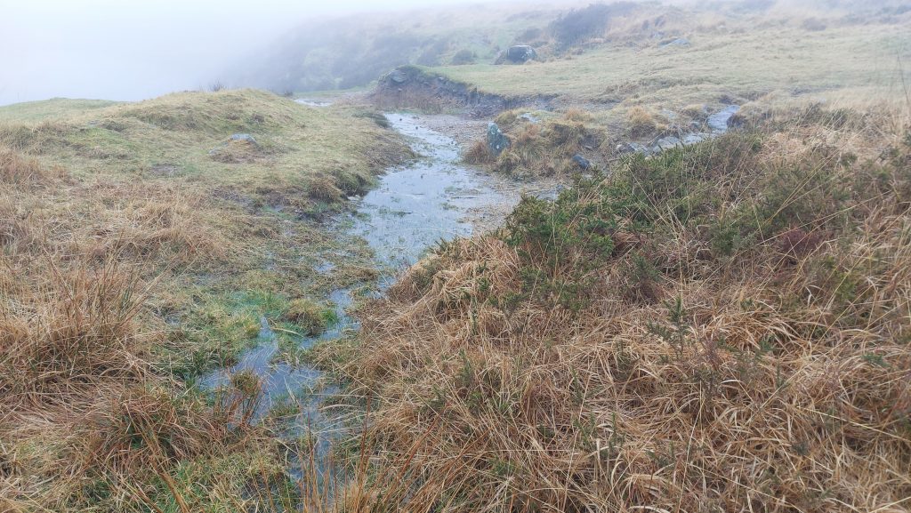
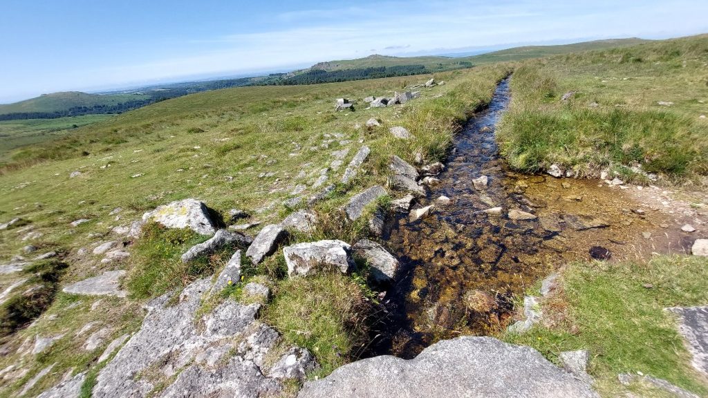
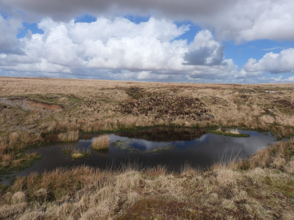
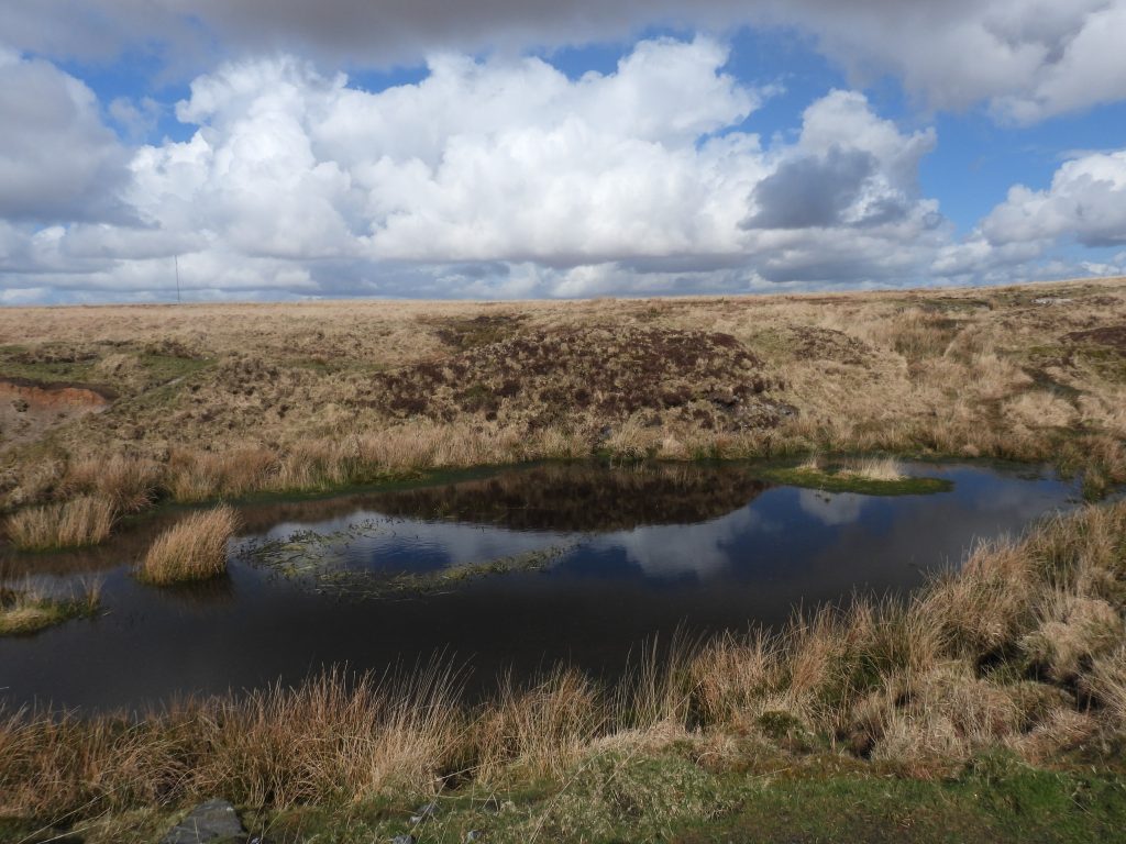
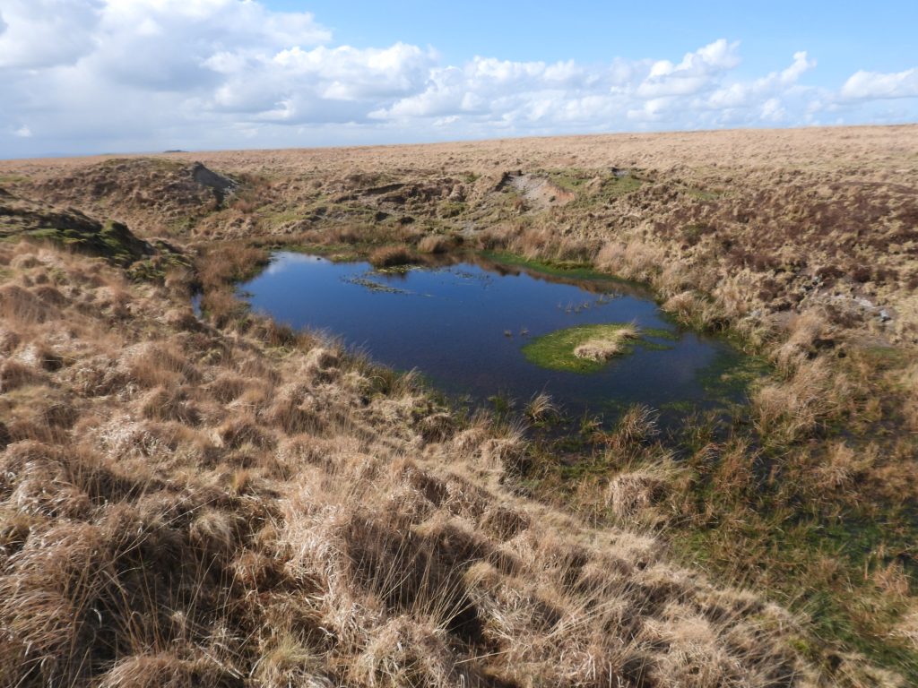
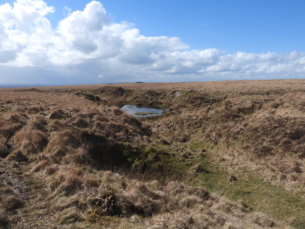
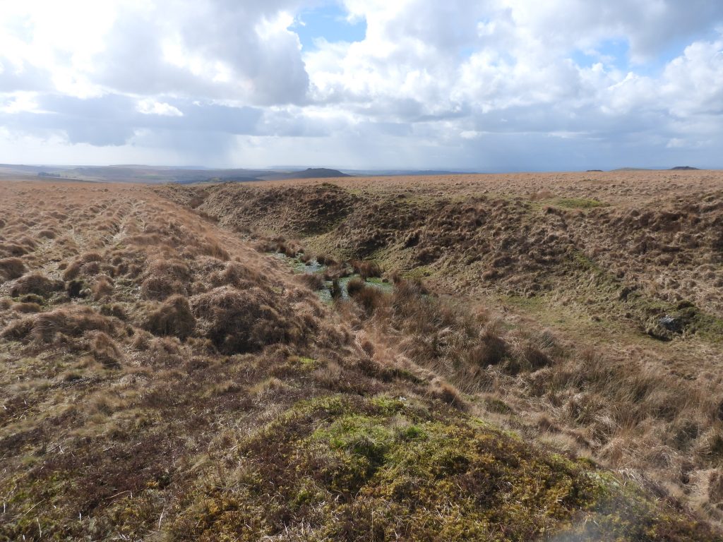
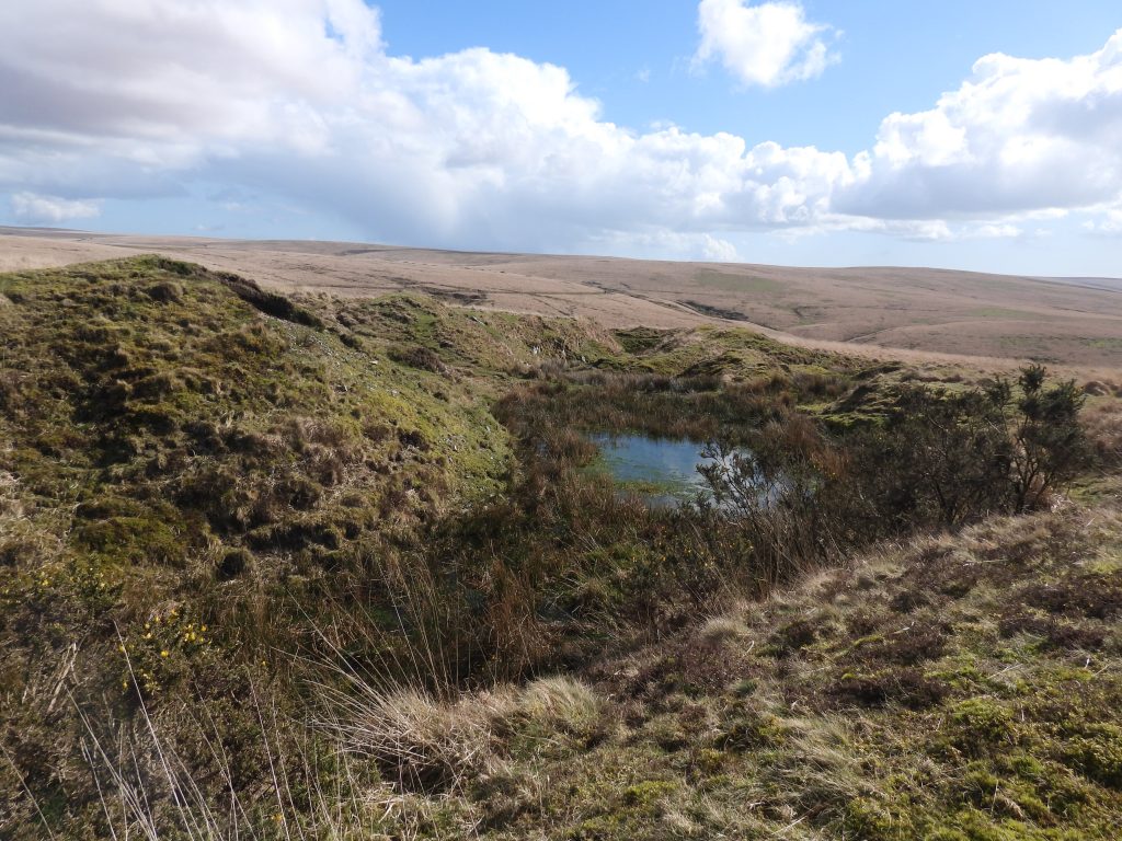
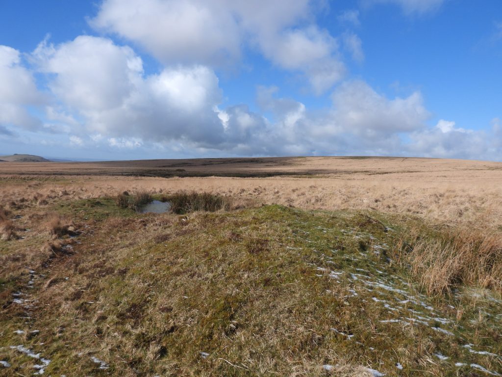
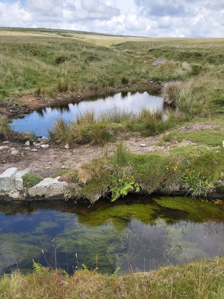
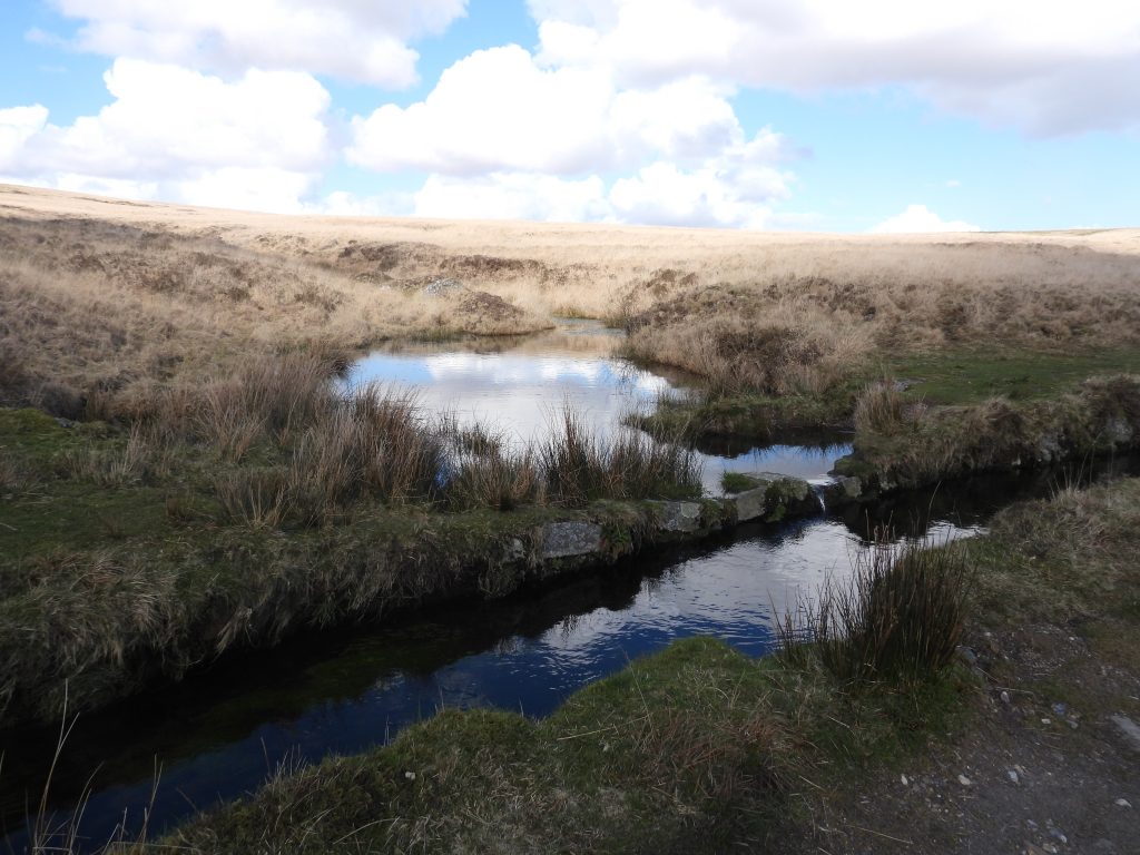
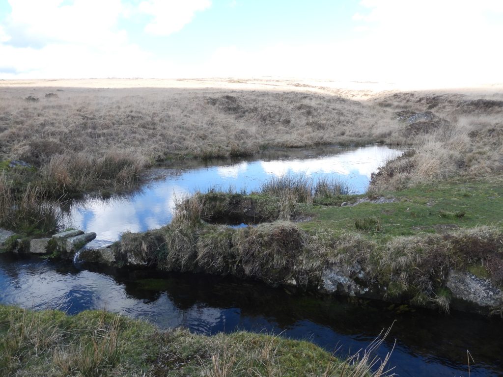
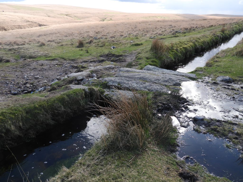
Pool by Devonport Leat at the bottom of the workings annotated H on the sketch map
The pool appears to supplement water into the leatThe pool is located at approx. SX59804 70652
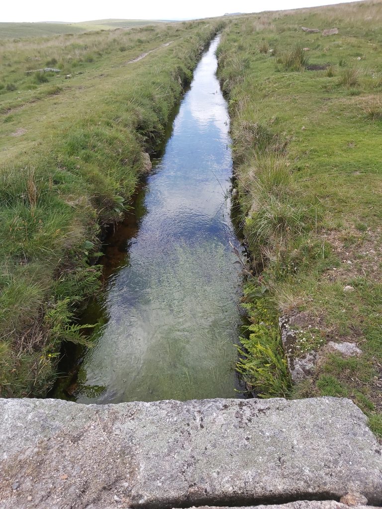
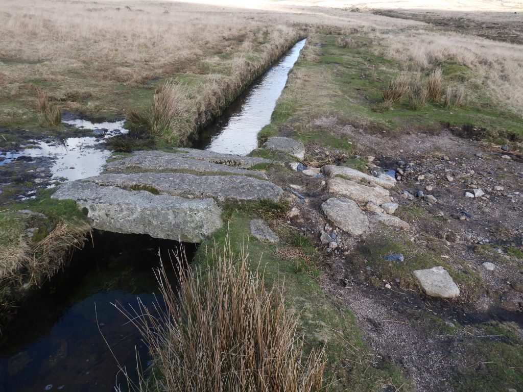
View from Footbridge 4 across Devonport Leat looking west (downstream)
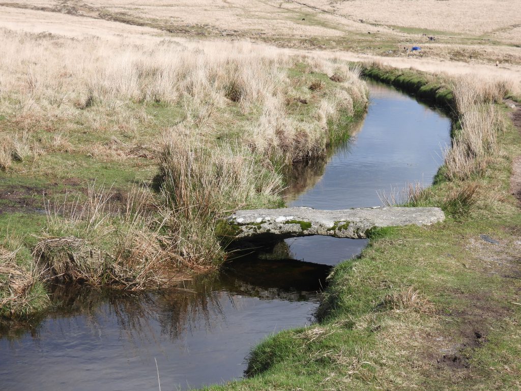
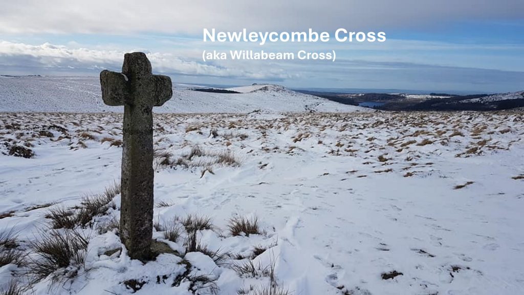
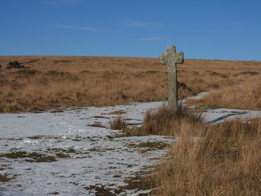
Footbridge 4 has four impostsFootbridge 4 is located at SX59616 70560Another pool. This one is at the bottom of one ‘arm’ of tin workings G at SX59664 70614Footbridge 3 across Devonport LeatFootbridge 3 is a single impost and is located at SX59382 70411Newleycombe Cross (also known as Willabeam Cross – Ref Tom Greeves) was re-erected in 1915 by Rev. H. Hugh Breton (who lived in Sheepstor between 1907 and 1922). Only the head, arms and upper part are original. The Dartmoor National Park undertook repairs of Newleycombe Cross in 1989 and more recently it was dismantled by them once again and reset on 24th May 2023.