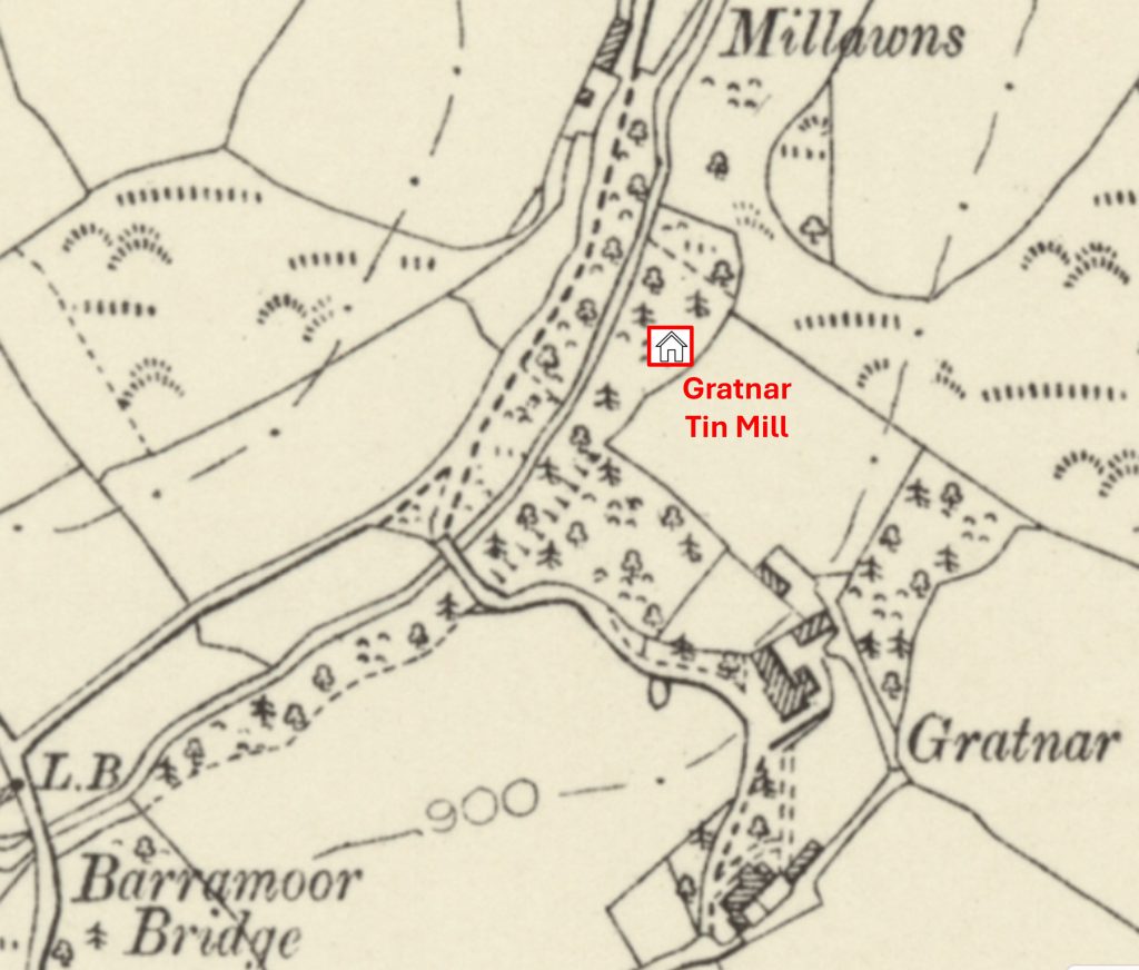
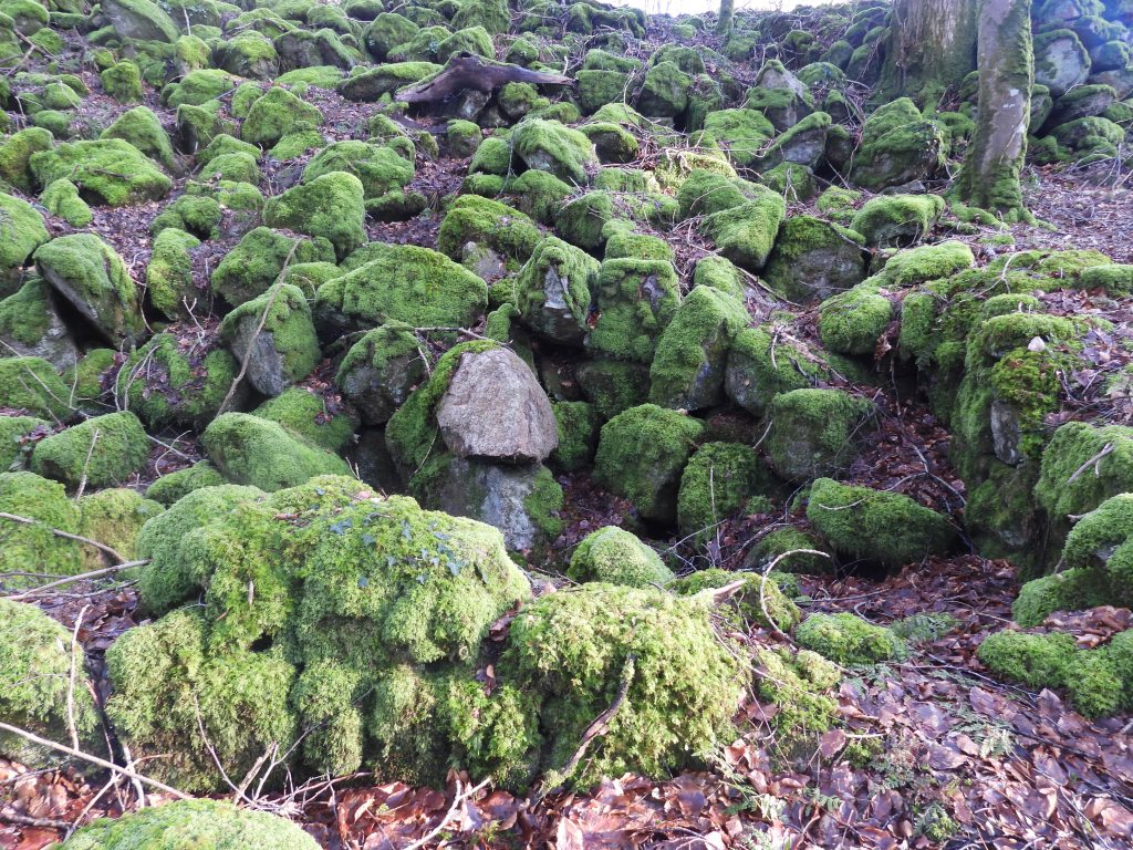
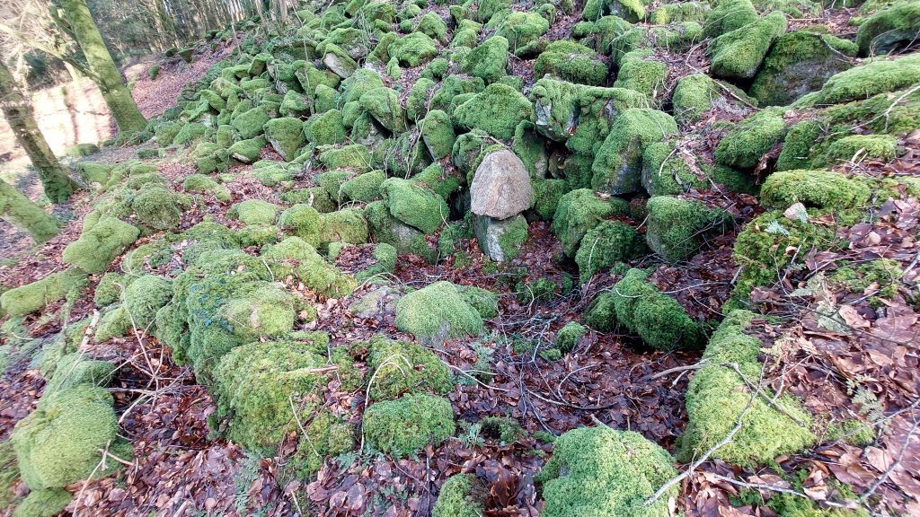
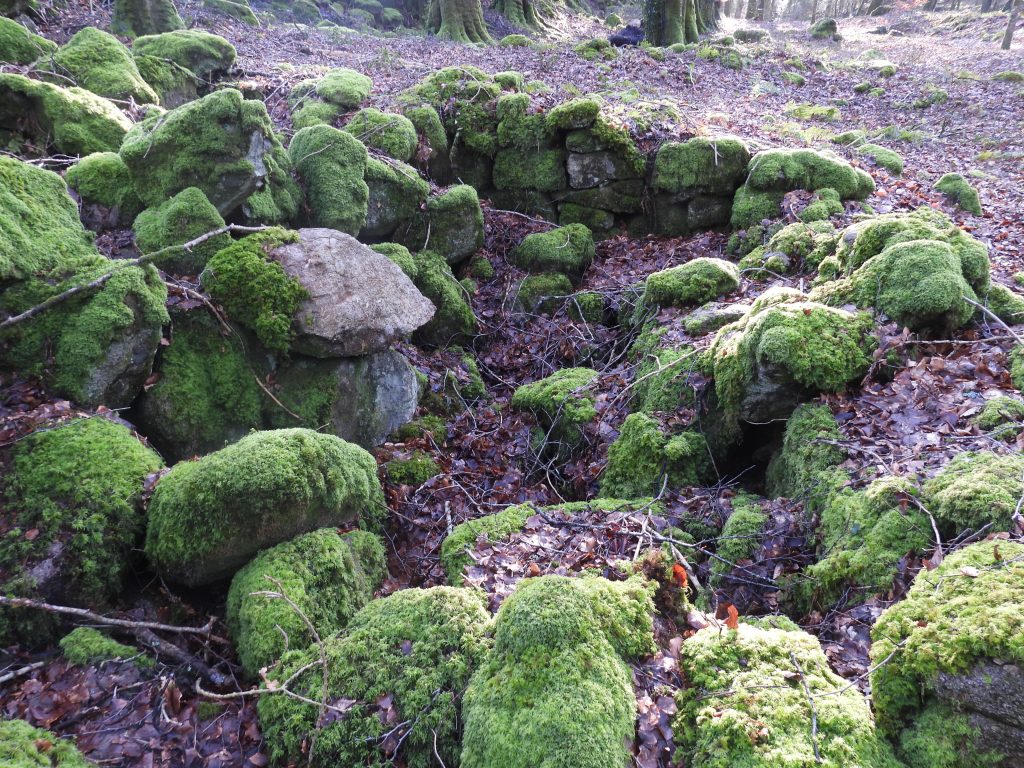
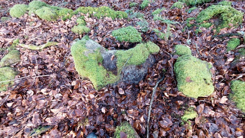
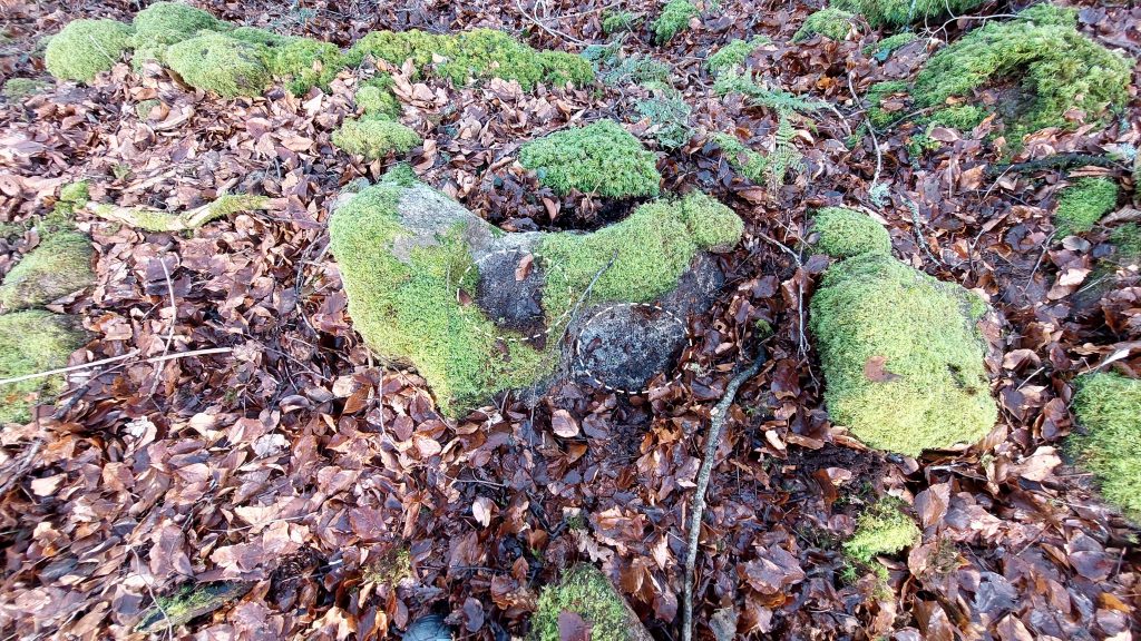
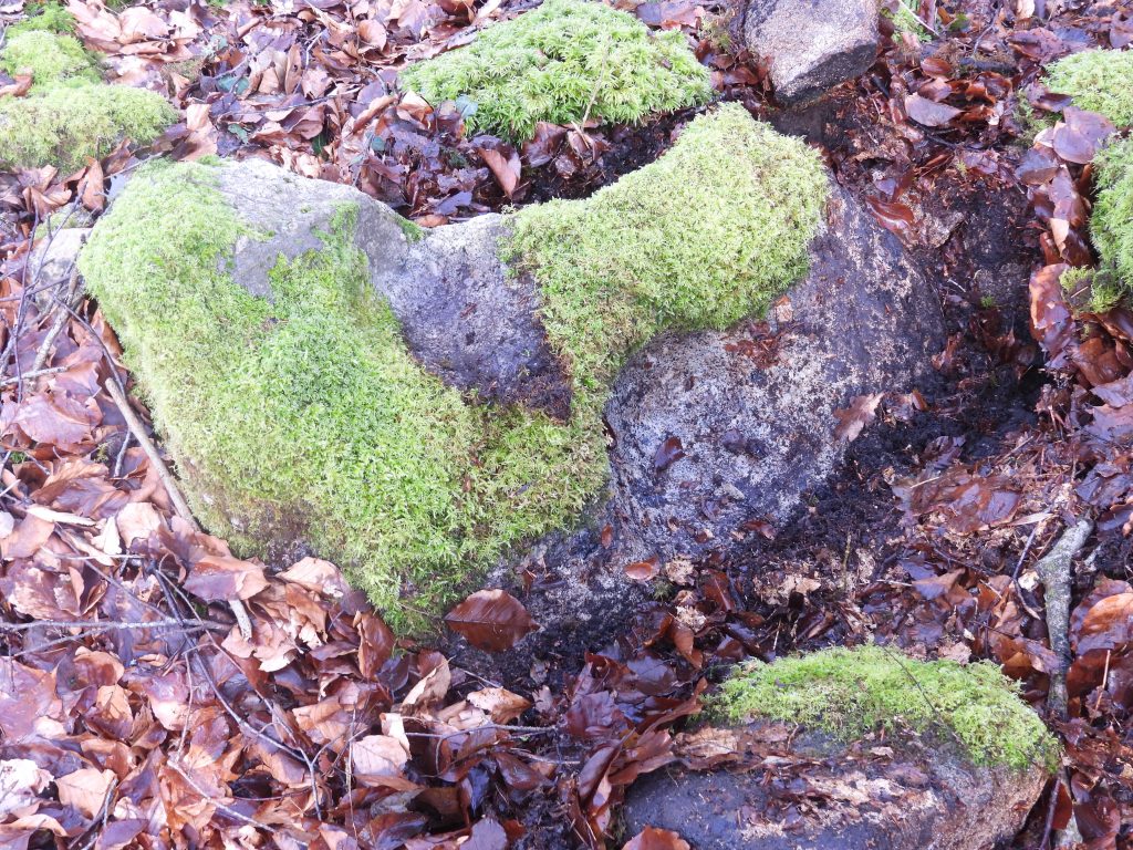
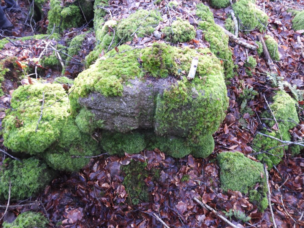
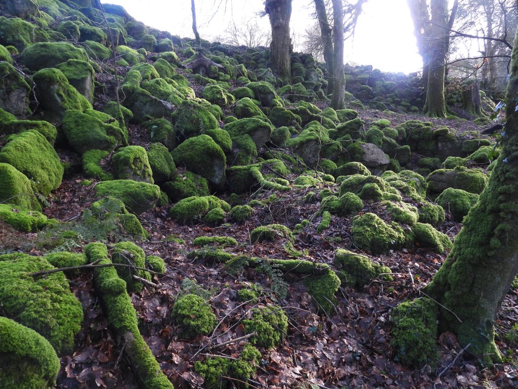
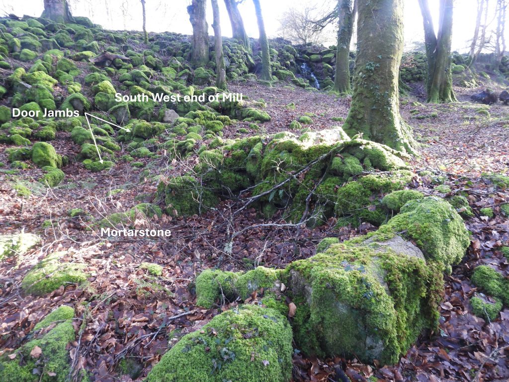
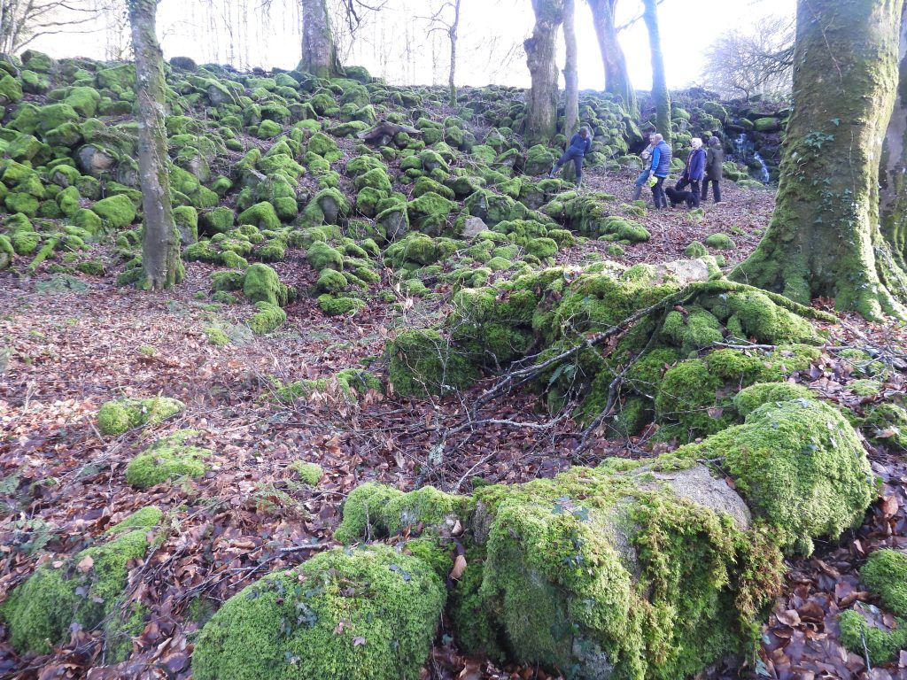
Gratnar Tin Mill is located on private land on the right bank of a tributary of the River Bovey at SX720 836. It is named after a farm / dwelling known as Gratnar to the south east, on whose land it is located. Due to there being two mortarstones here it almost certainly was a stamping mill and is thought to have been in existence from before 1750. The author obtained access to the site through a walk organised by the Dartmoor Tinworking Research Group (DTRG) in February 2026.
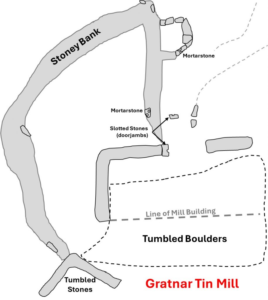
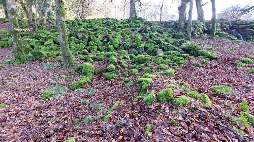
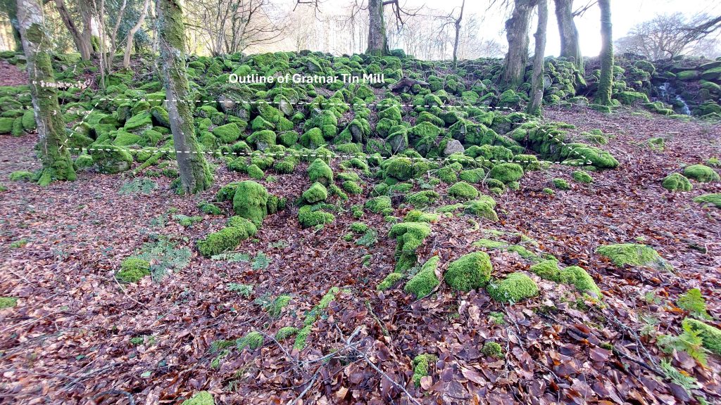
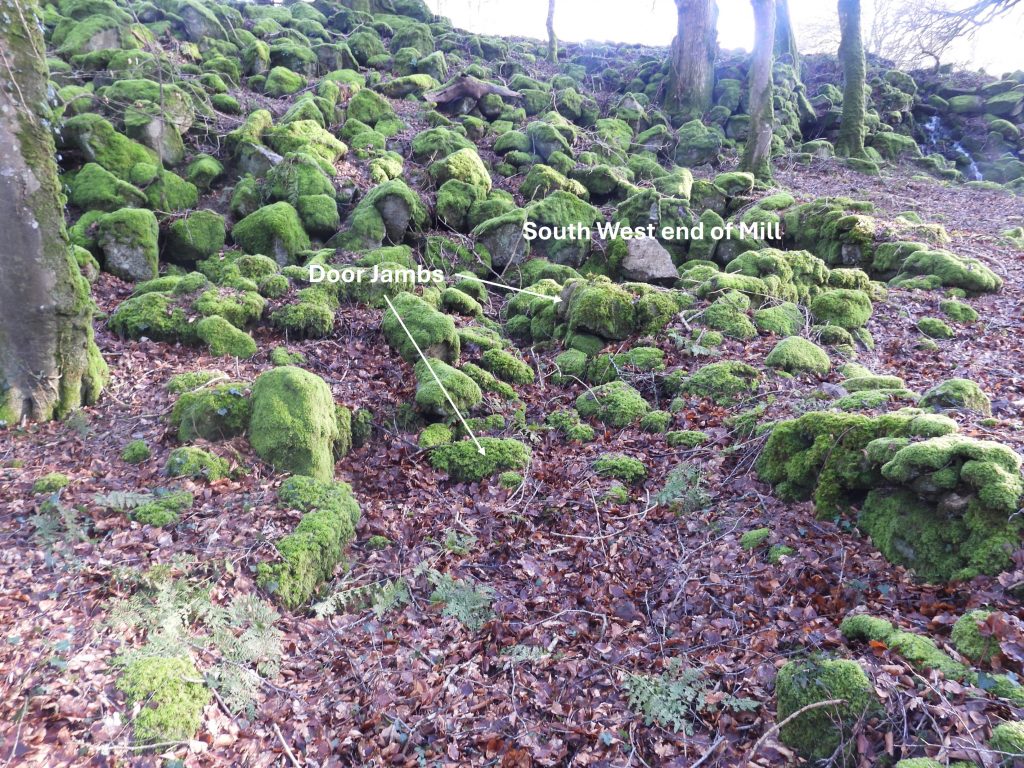
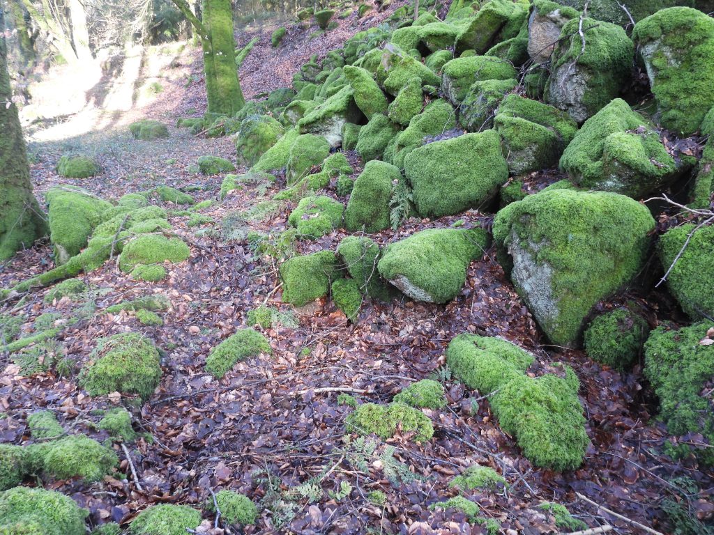
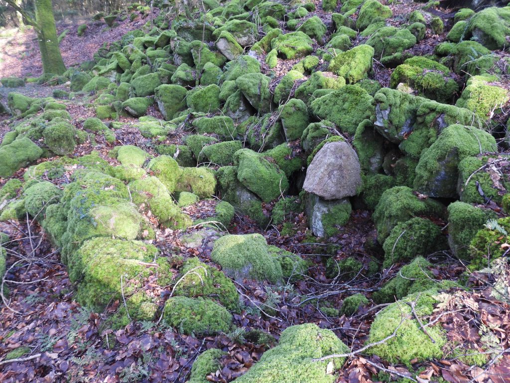
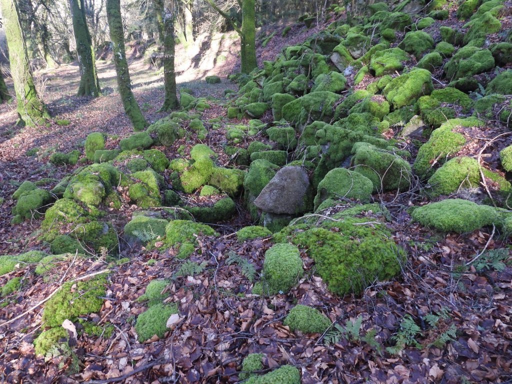
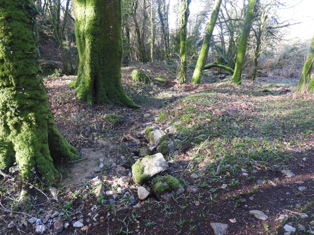
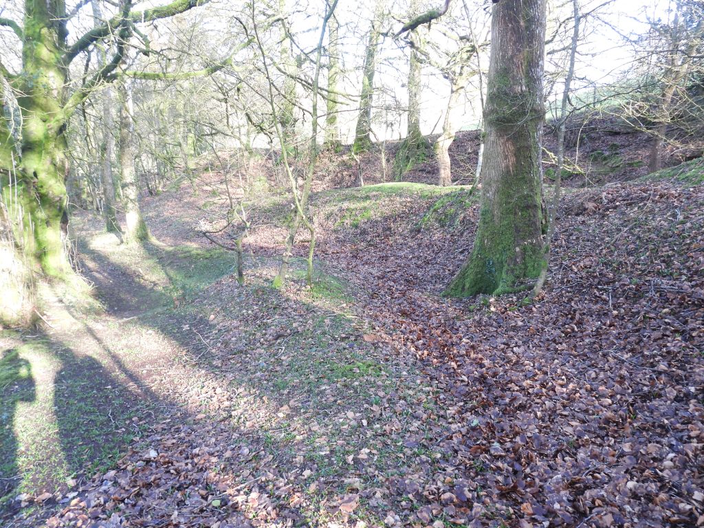
The mill was discovered by Brian Le Messurier in 1983, being subsequently visited by Tom Greeves, who made a plan, which the author is grateful has been shared. The mill is heavily obliterated by a large tumble of boulders but despite this the walling and main outline can still be discerned. Other features at the mill include two door jambs and the remnants of a possible tail race. It has been recorded (Bodman) that the leat to the mill began near Barramoor Bridge but traces of it are vague and cannot be fully identified or ascertained.
Perhaps with a reference to the Tin Mill is a farmstead to the north called Millawns on OS maps. Interestingly the farmstead was known as ‘Mellons’ on the 19th century Tithe Map.
Bibliography
- J.E.B. Gover, A.Mawer, F.M. Stenton – (1932) – The Place-Names of Devon: Part Two, 471
- Dr. Tom Greeves – (1983) – Plan of Gratnar Mill (Greeves and Robinson) at 1:100 scale. Plan in Greeves’ collection
- M. Bodman – (2015) – Mills on the Teign. A gazetteer of water-powered sites on the Teign and Bovey and their tributaries, 100
- Dr. Tom Greeves – (2026) – Pers. Conv.
- Stephen Holley (DTRG Chairman) – (2026) – Pers. Conv.