A collection of walks, discoveries, insights and pictures of exploring Dartmoor National Park
August 30, 2025
Longhouse, Bronze Age Antiquities and Tinworkings around Down Tor
To the north and north east of Down Tor there are some artefacts of interest which date from Bronze Age to post Medieval. They comprise a cluster of three Cairns with Cists and a Longhouse. The Cairns / Cists are marked as three black circles on modern OS maps, however, the Longhouse is not marked. Each artefact has been well documented between the last 30 years (Longhouse) and 75 years (Cairns / Cists).
The area is interspersed by tin openworks and pitworks which are marked as ‘Workings (dis)’ on modern OS maps. There is a fourth Cairn / Cist located to the south of Down Tor (marked as Cairn on OS maps) which is also recorded in this post
Bibliography
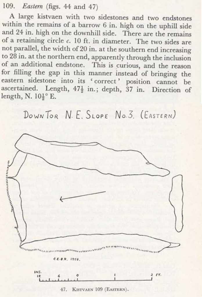
R.H Worth, (1948) – 53rd Report of Scientific Memoranda, page 80 and plate 1 (plan and view).
Jeremy Butler (1994) – Dartmoor Atlas of Antiquities: Volume Three – The South-West, 72-74, Map 47, Figure 47.10
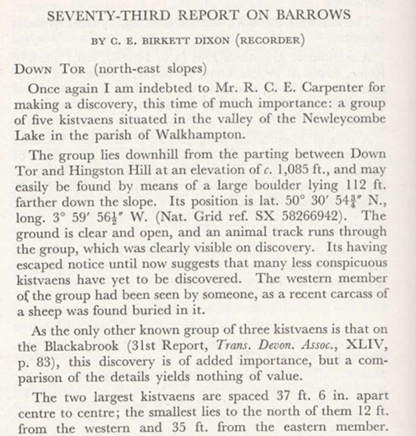
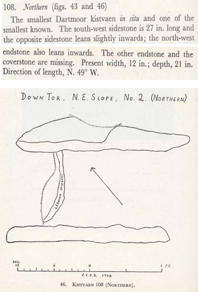
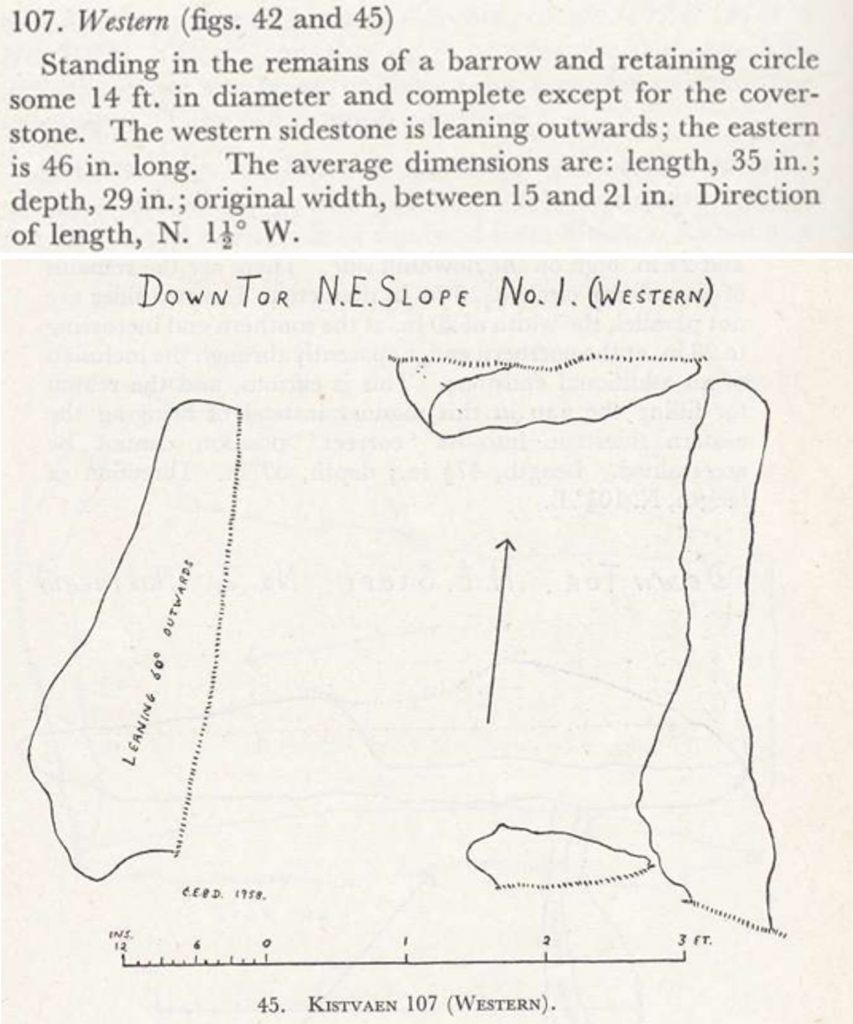
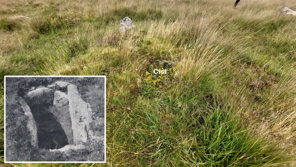
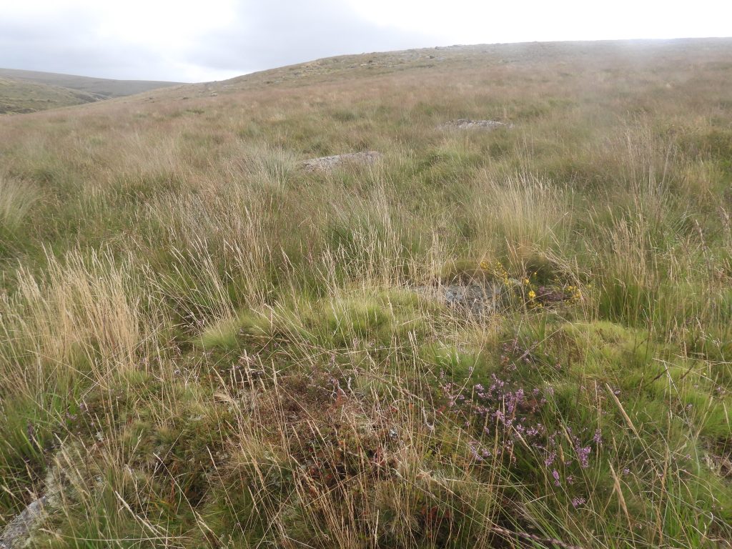
C.E.Birkett Dixon (1958) – 73rd Report on Barrows, 230, Figs 42 & 45 (Article in Serial). SDV251324. Group of five (three) kistvaens situated in the valley of the Newleycombe Lake.
Phil Newman (2007) – Cramber Tor Training Area Monument Baseline Condition Survey
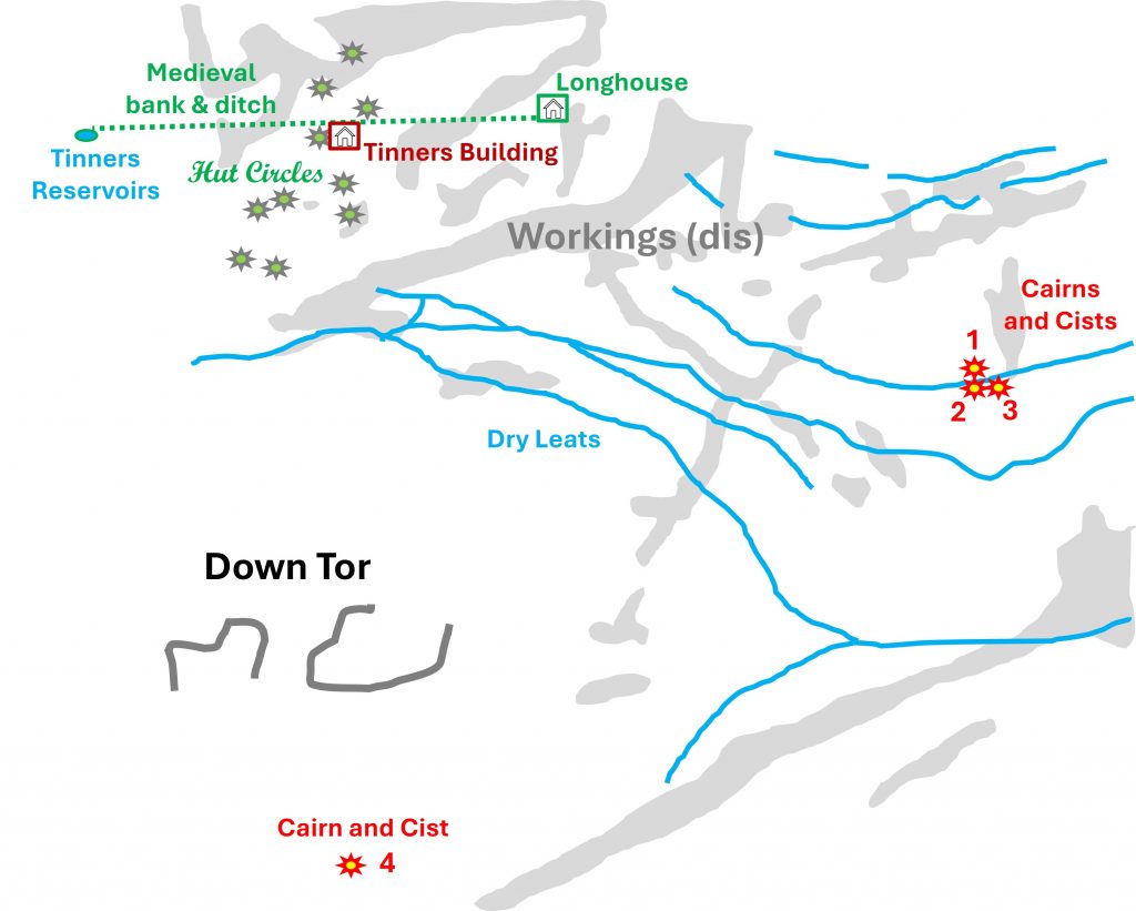
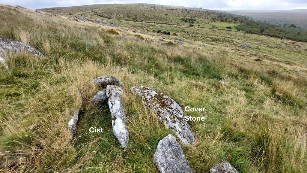
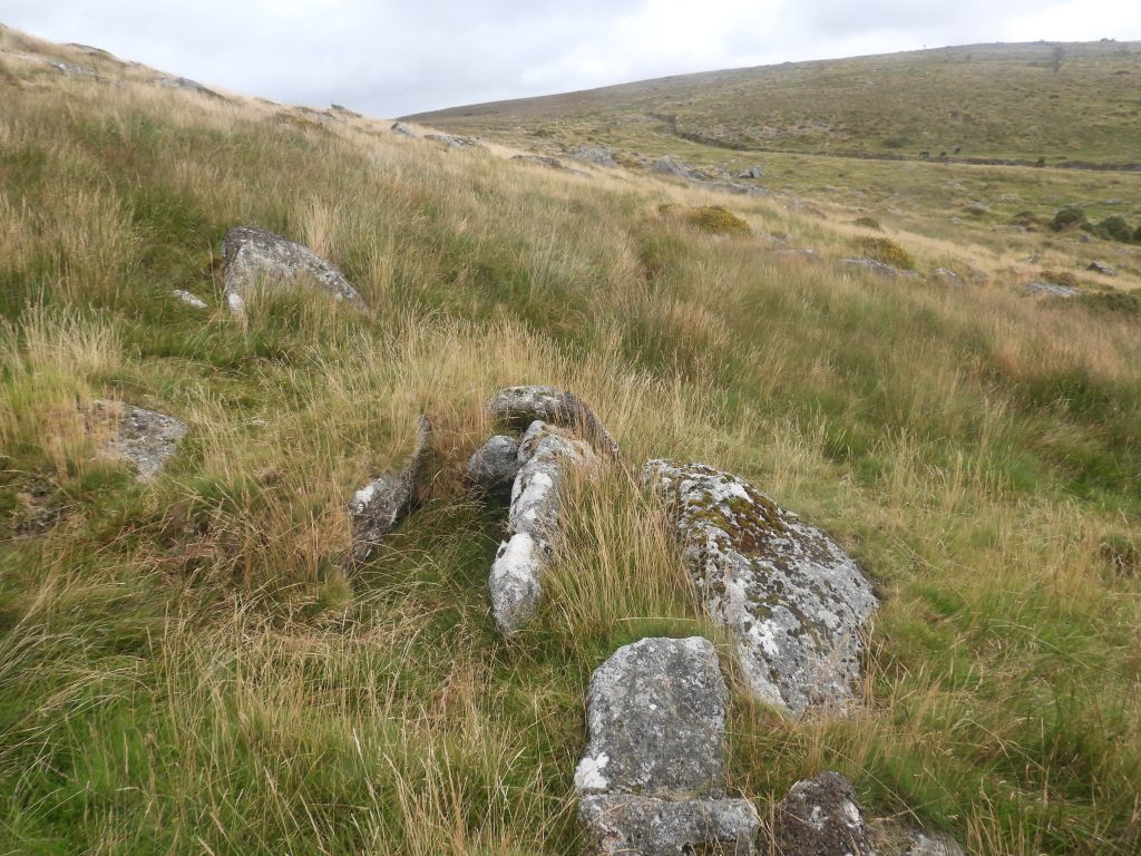
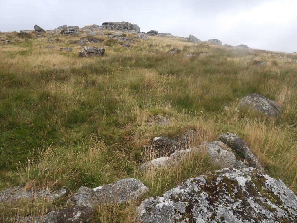
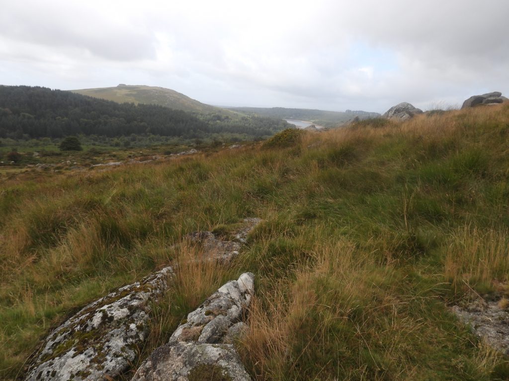
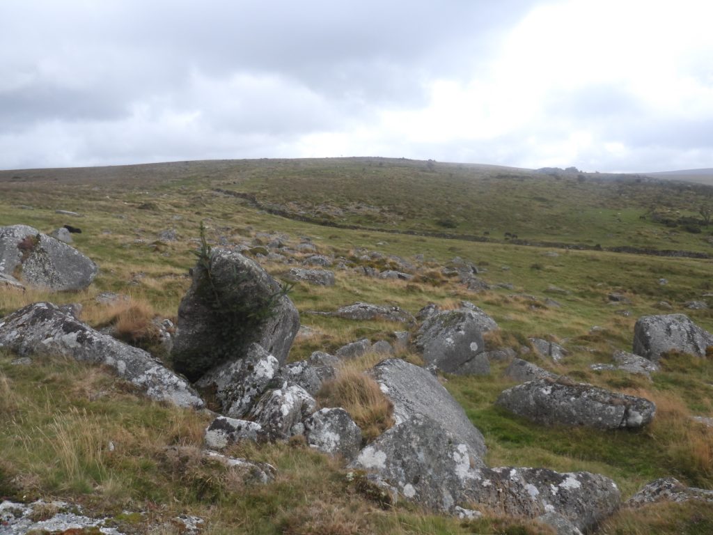
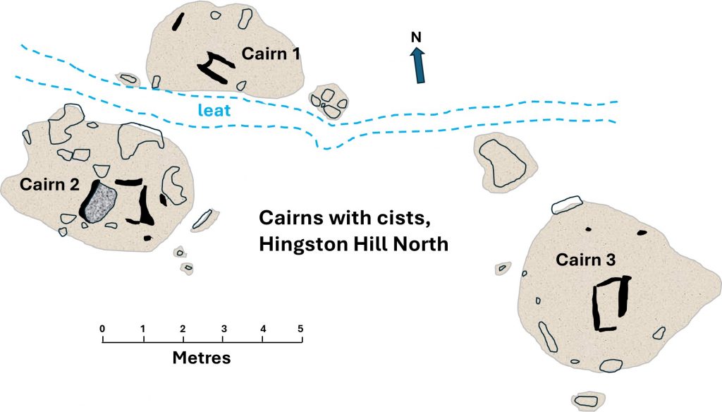
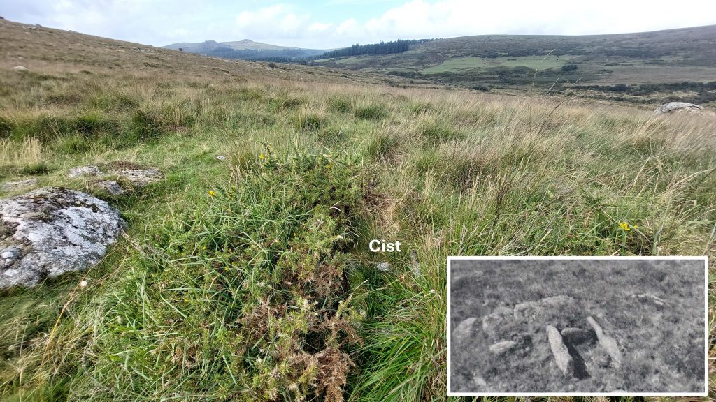
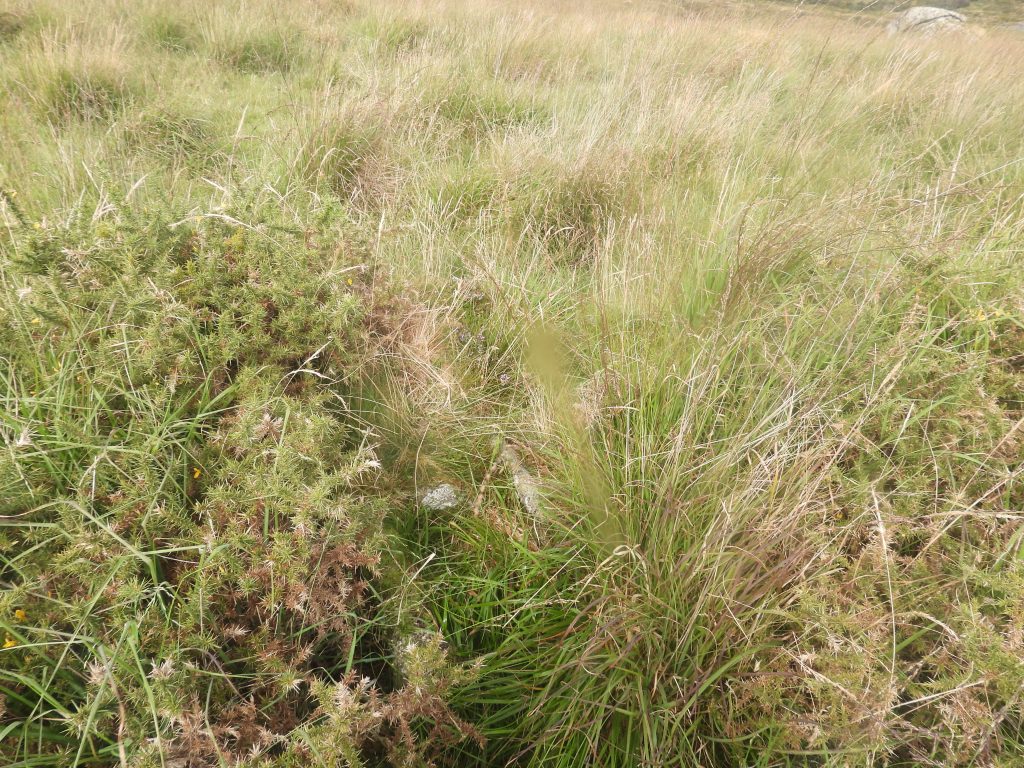
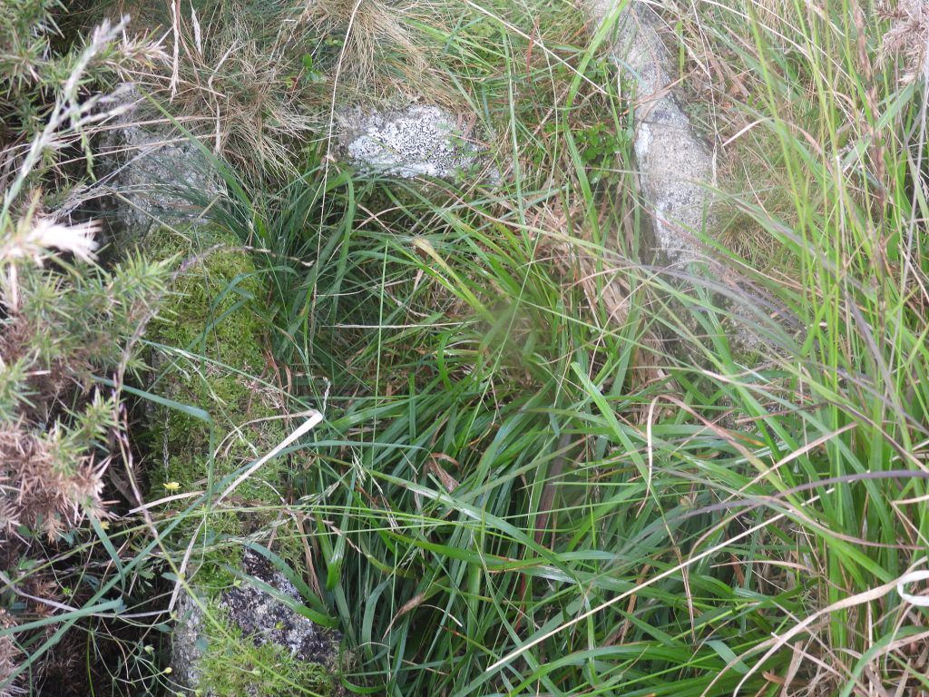
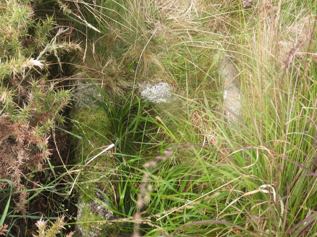
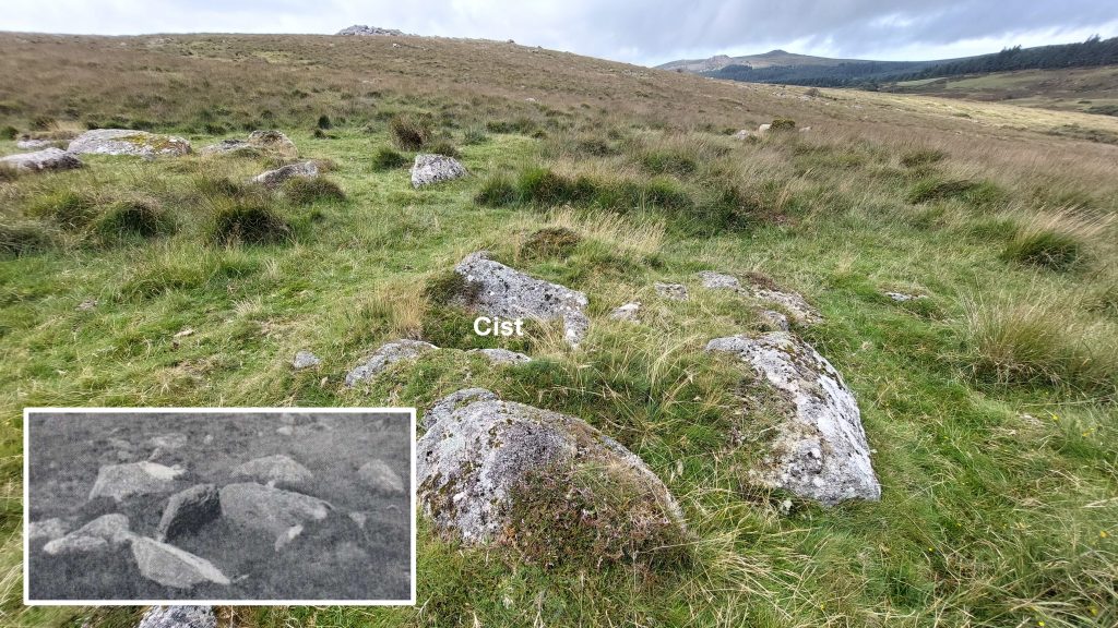
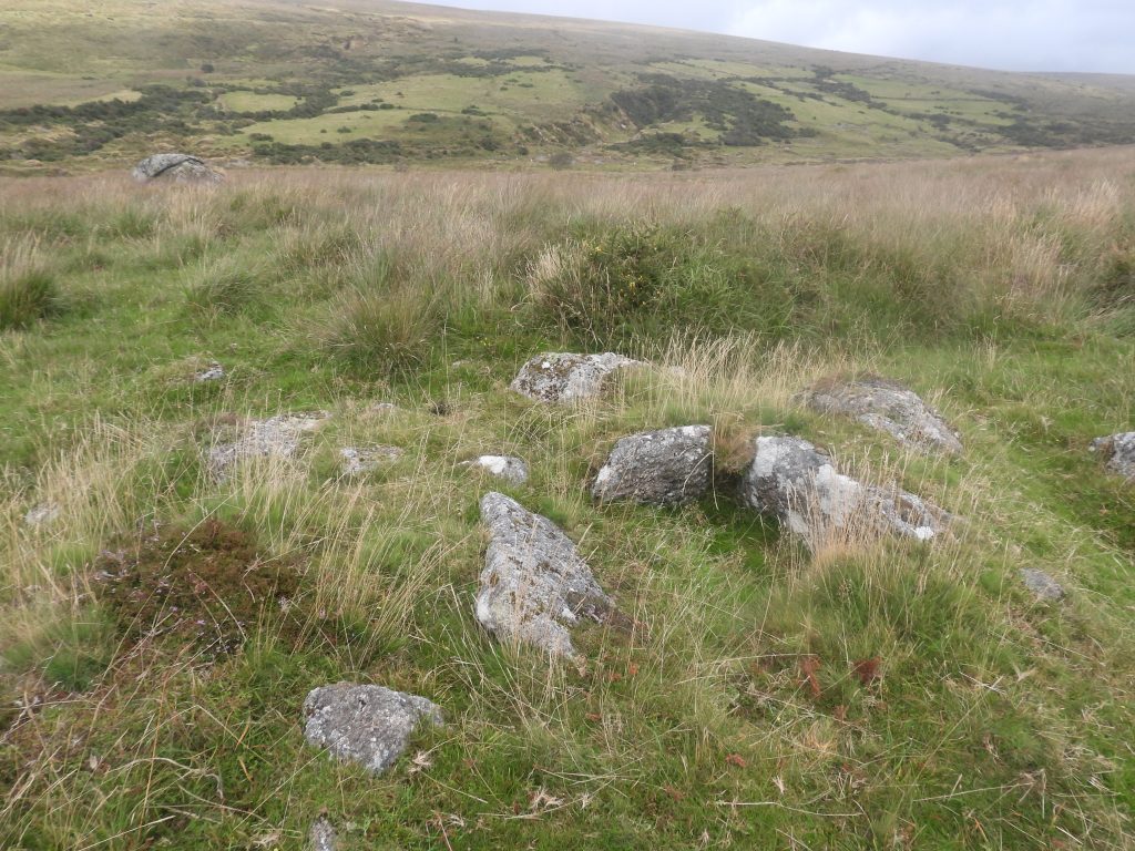
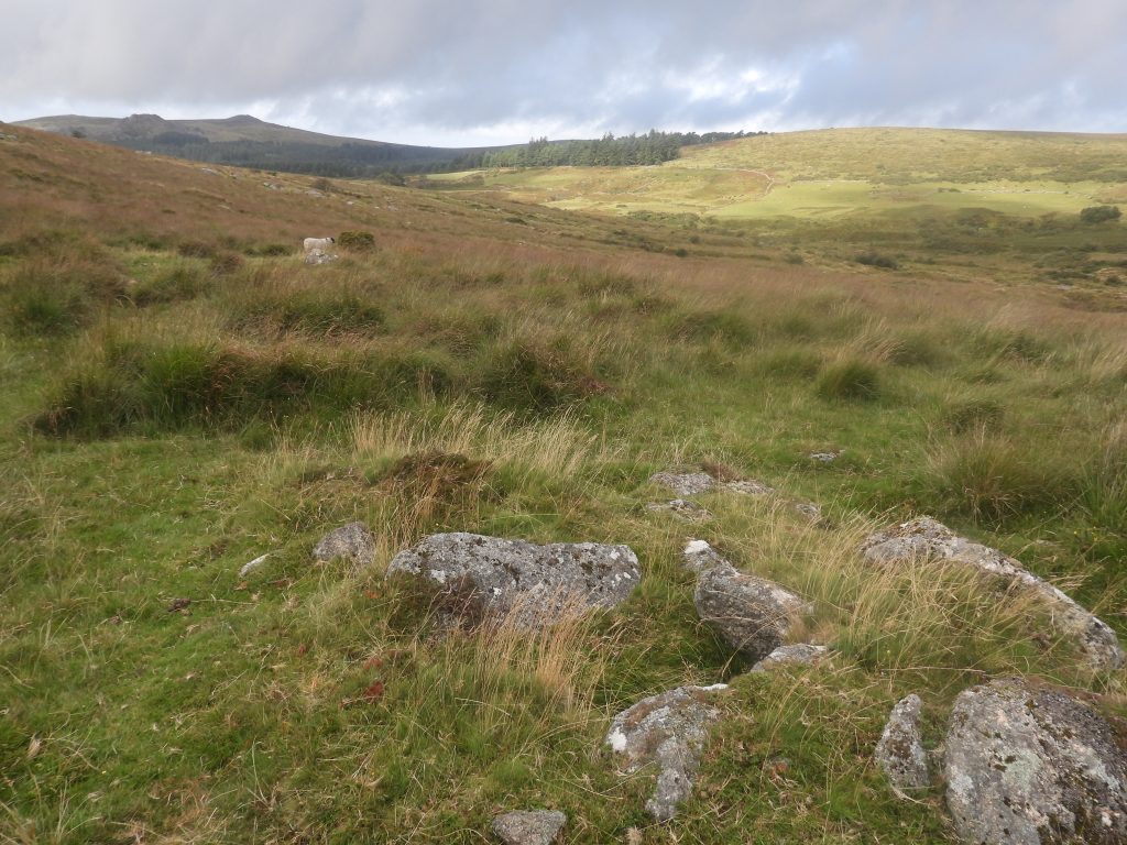
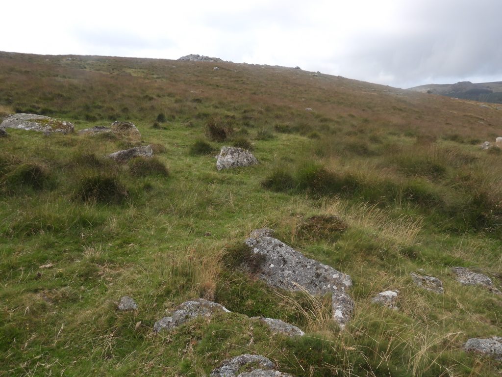
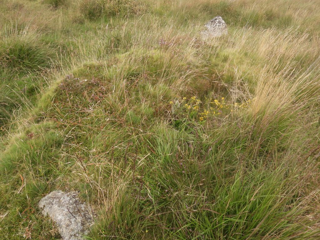
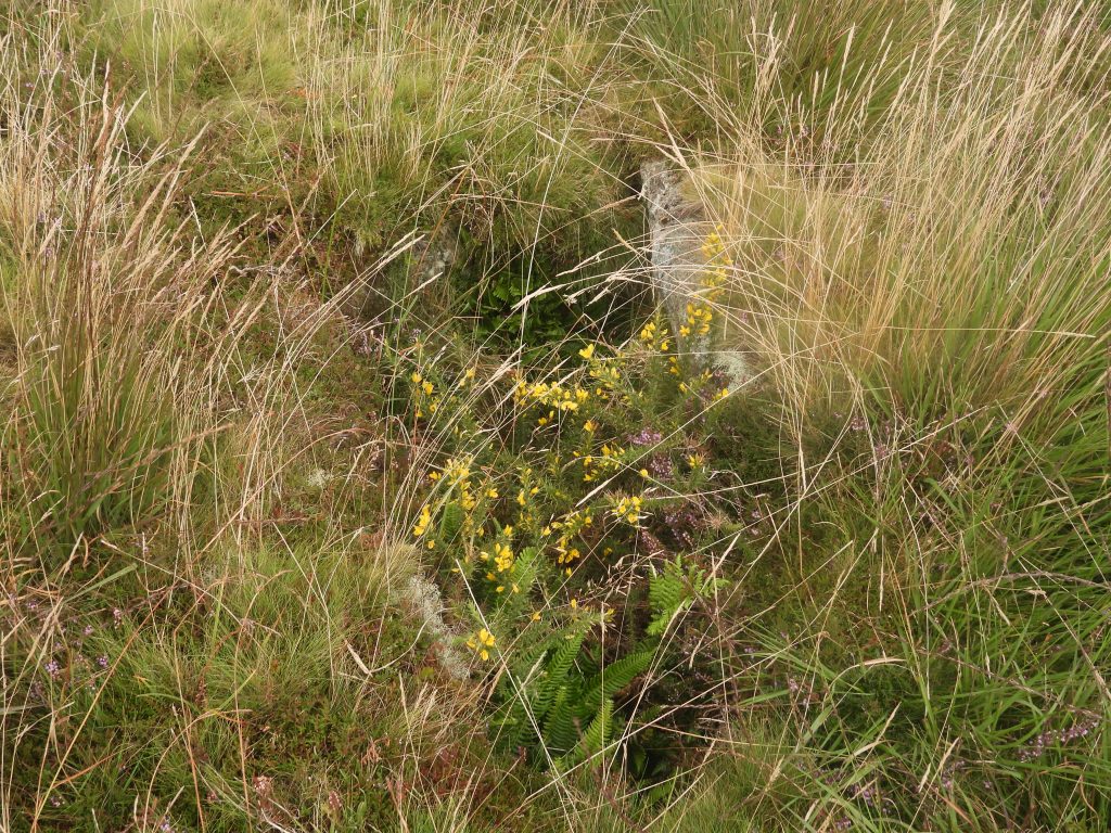
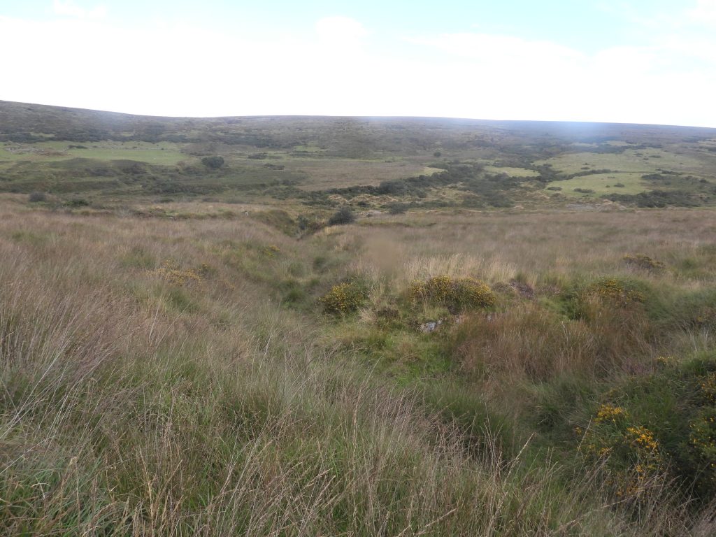
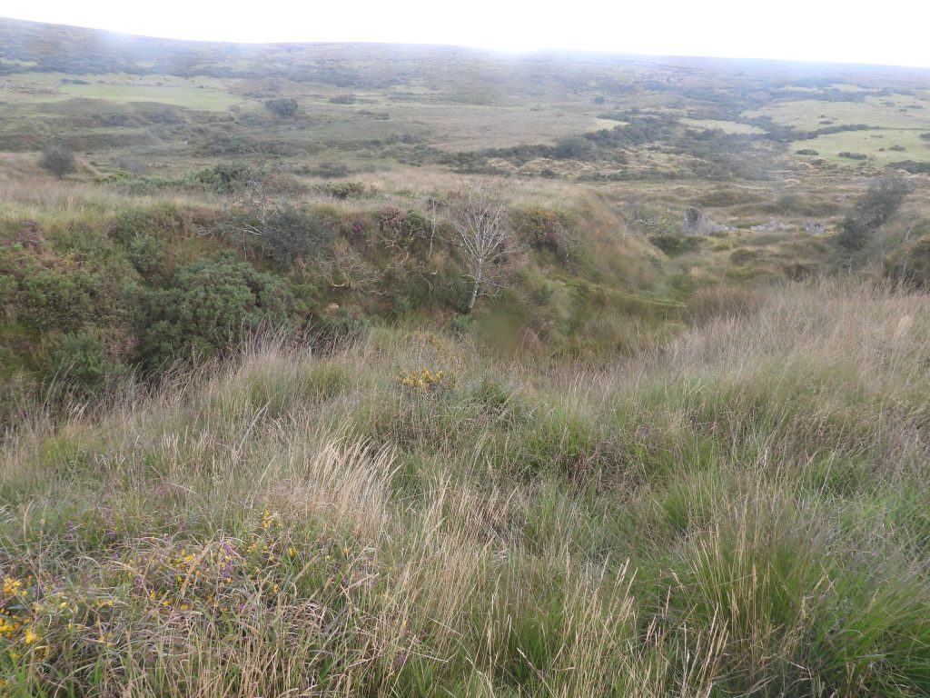
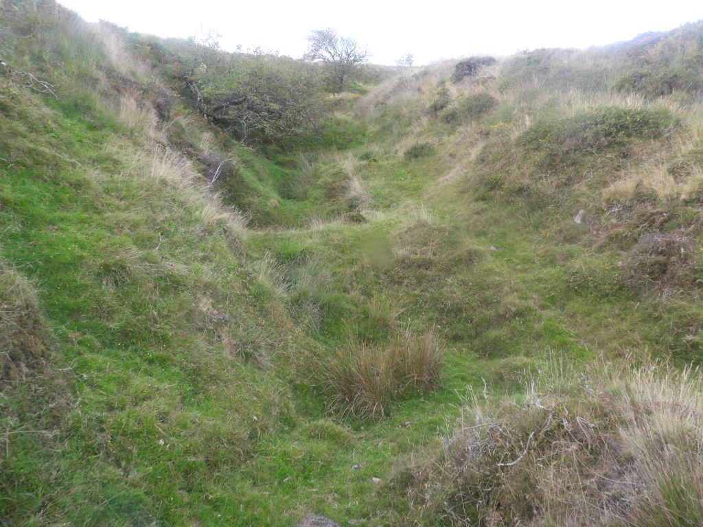
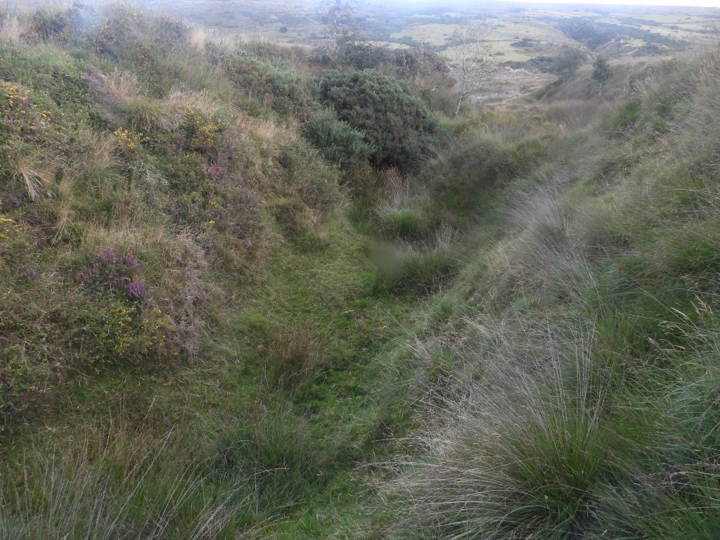
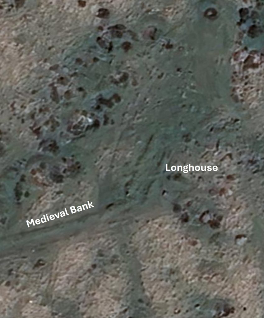
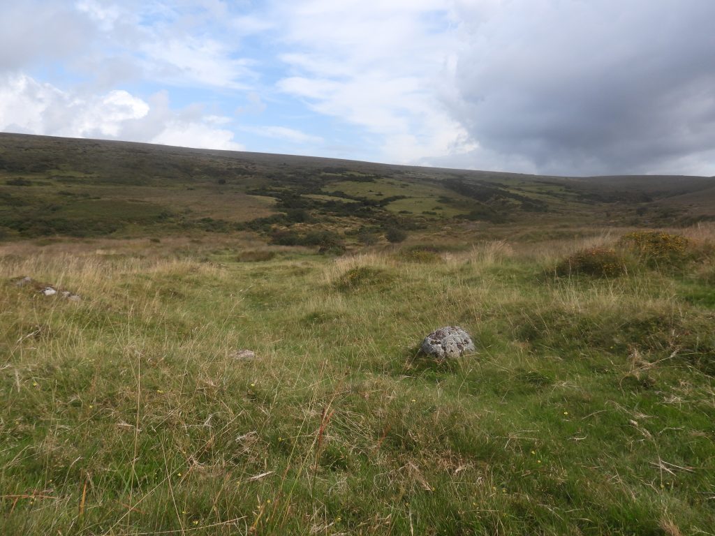
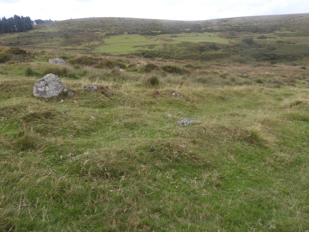
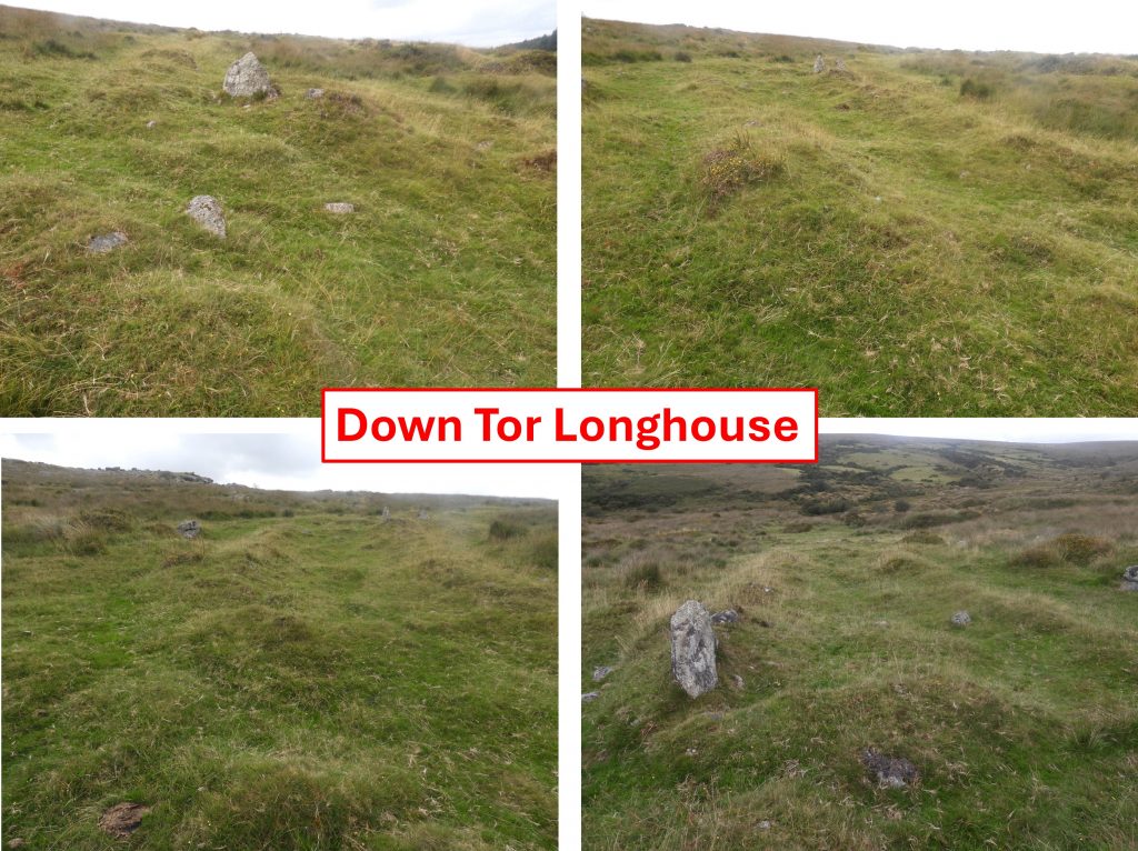
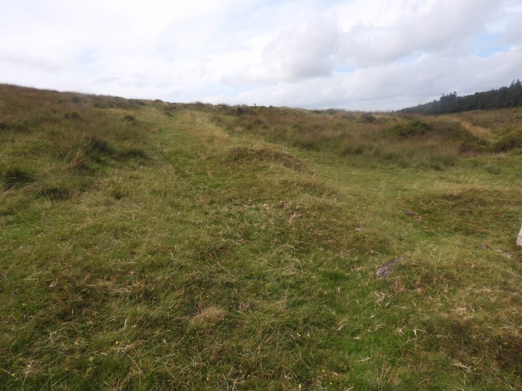
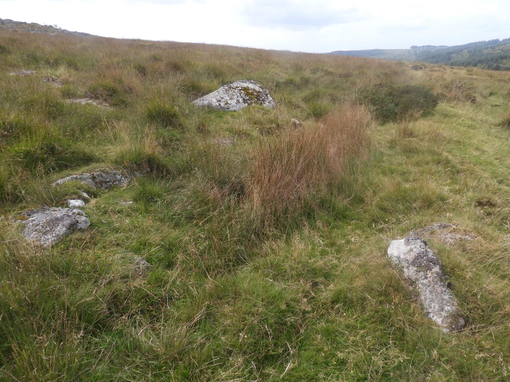
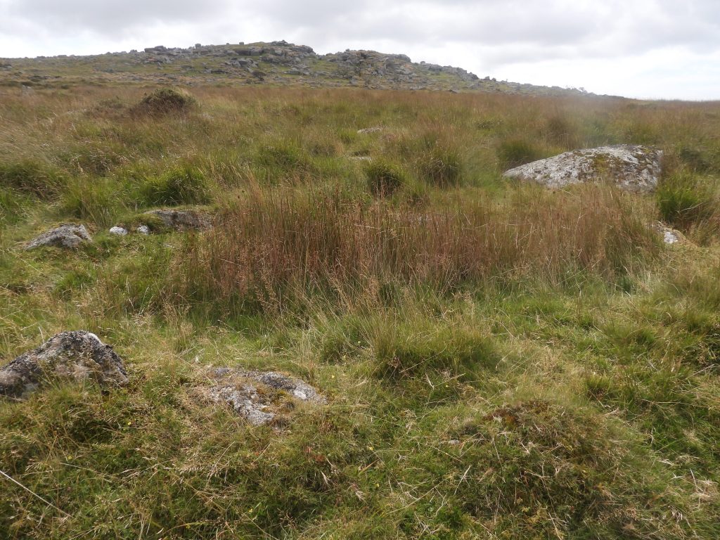
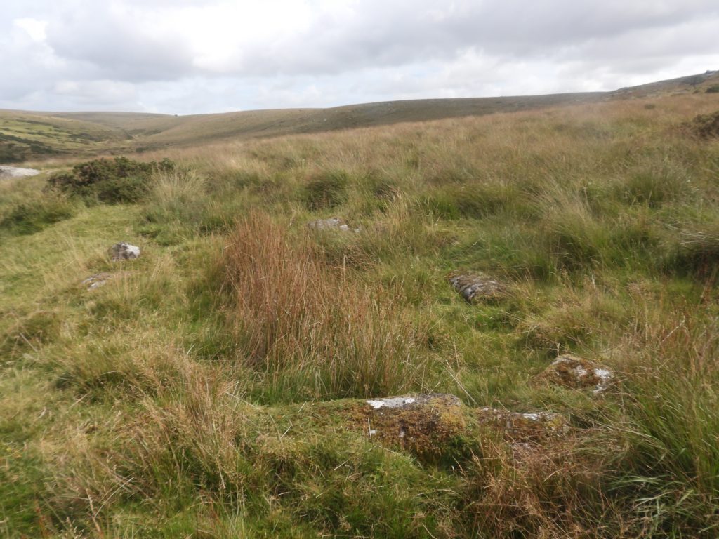
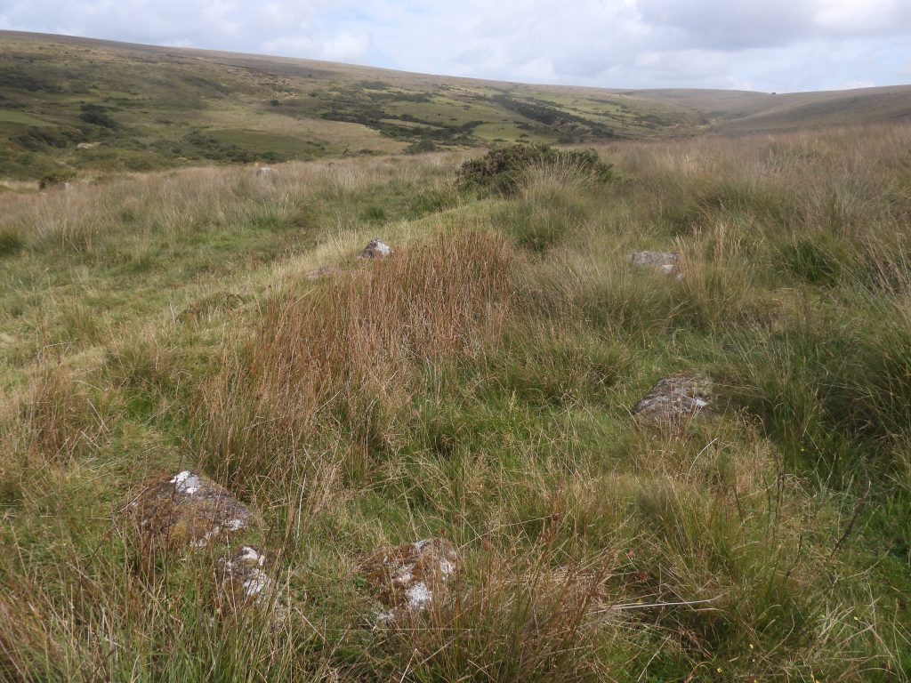
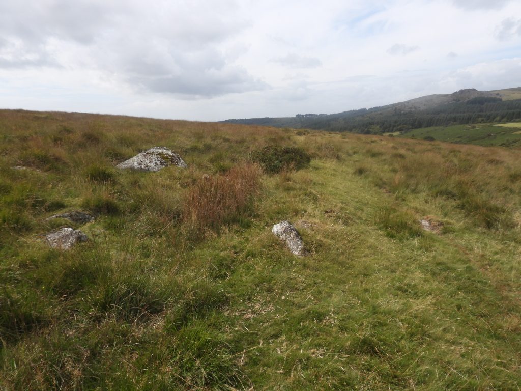
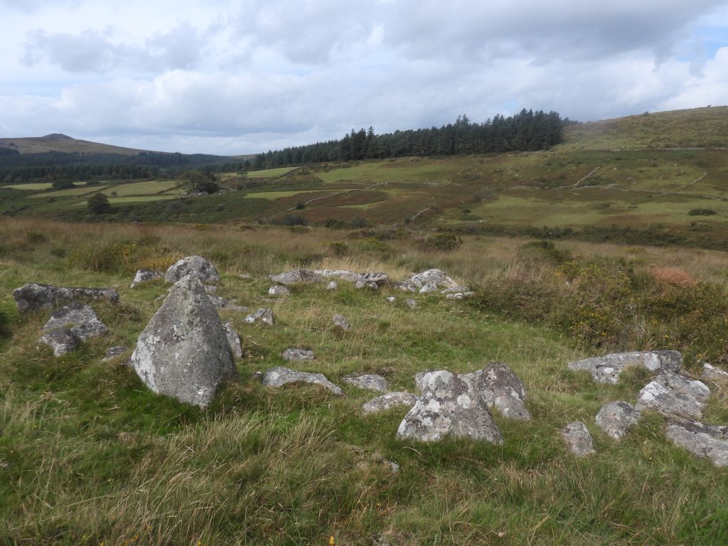
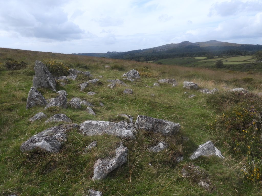
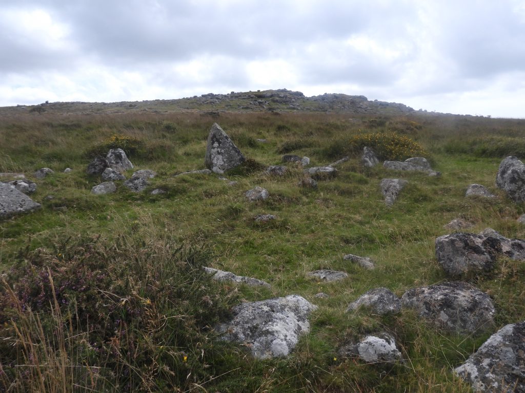
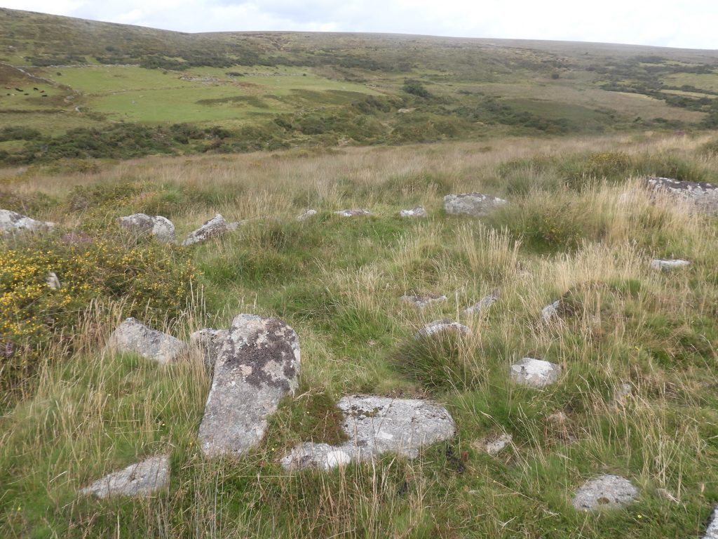
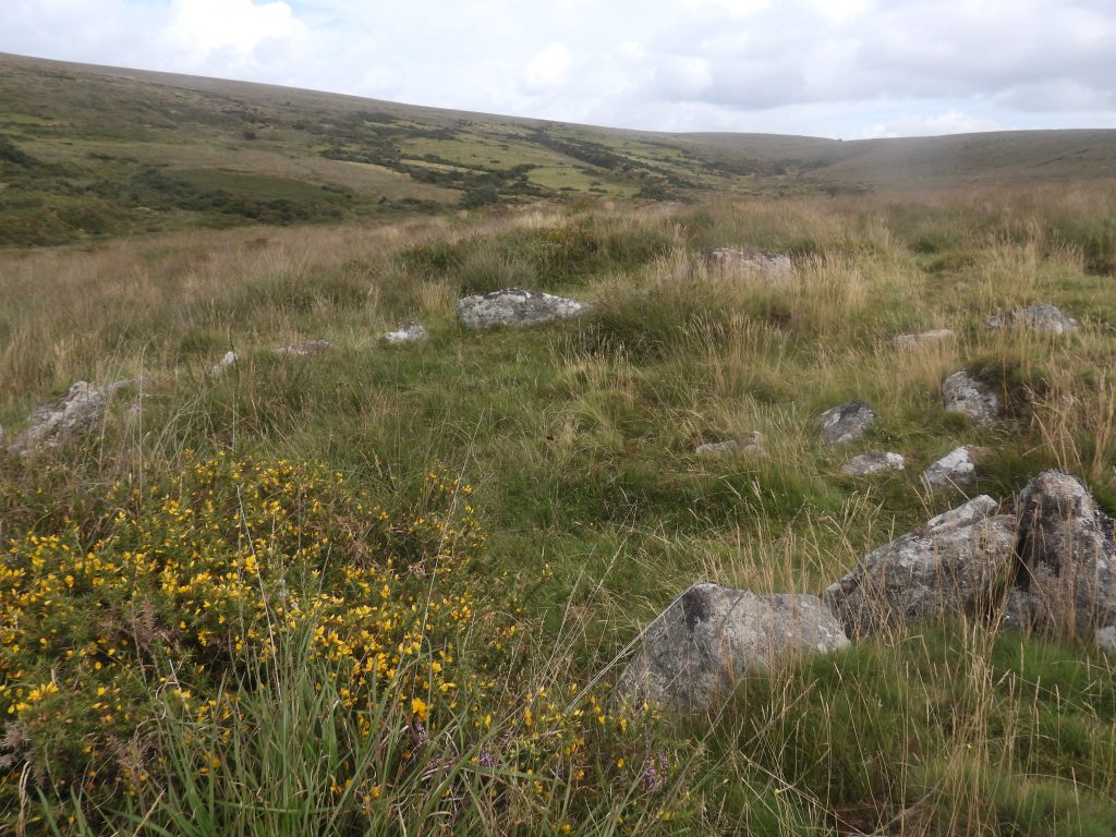
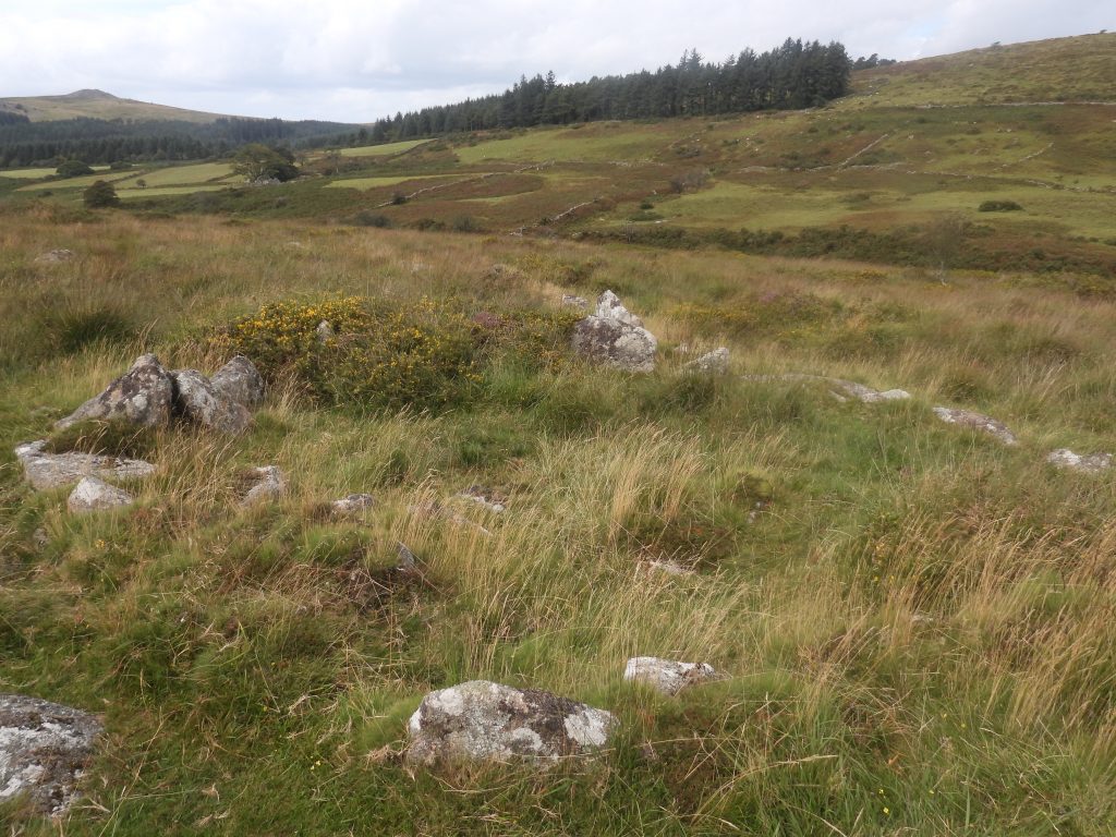
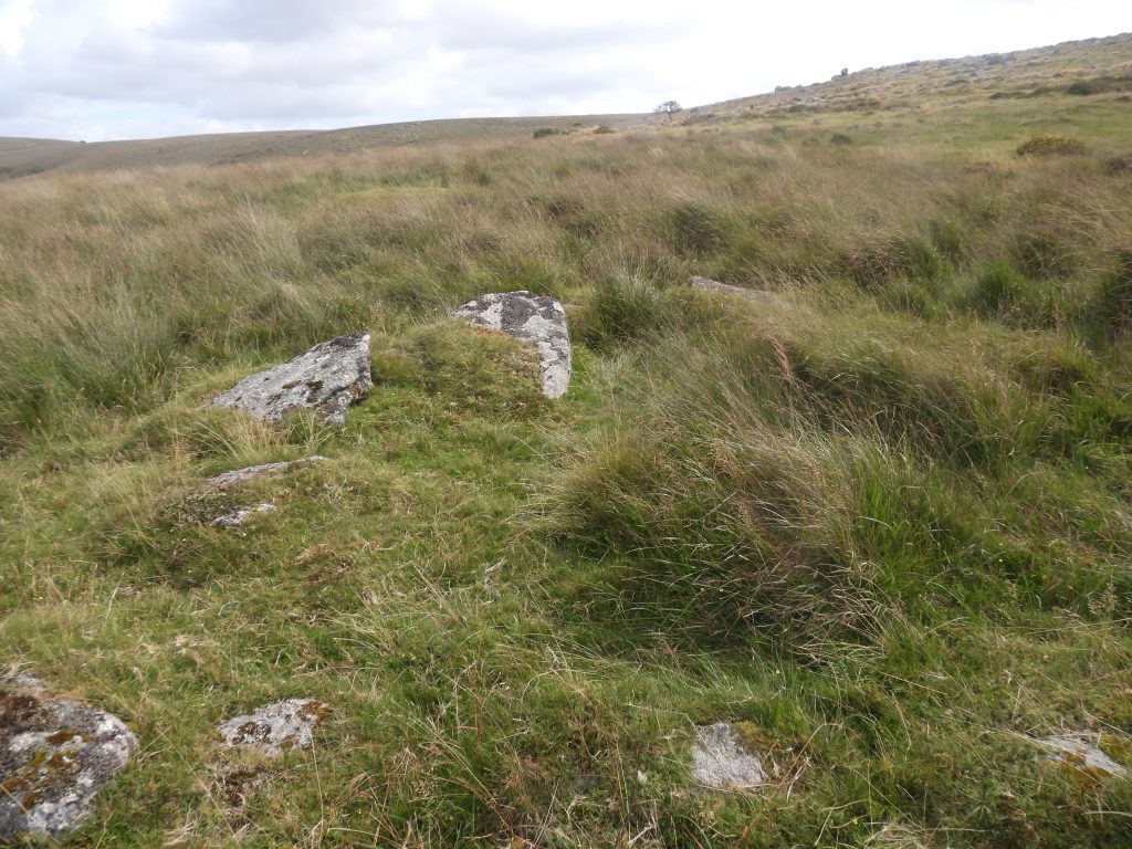
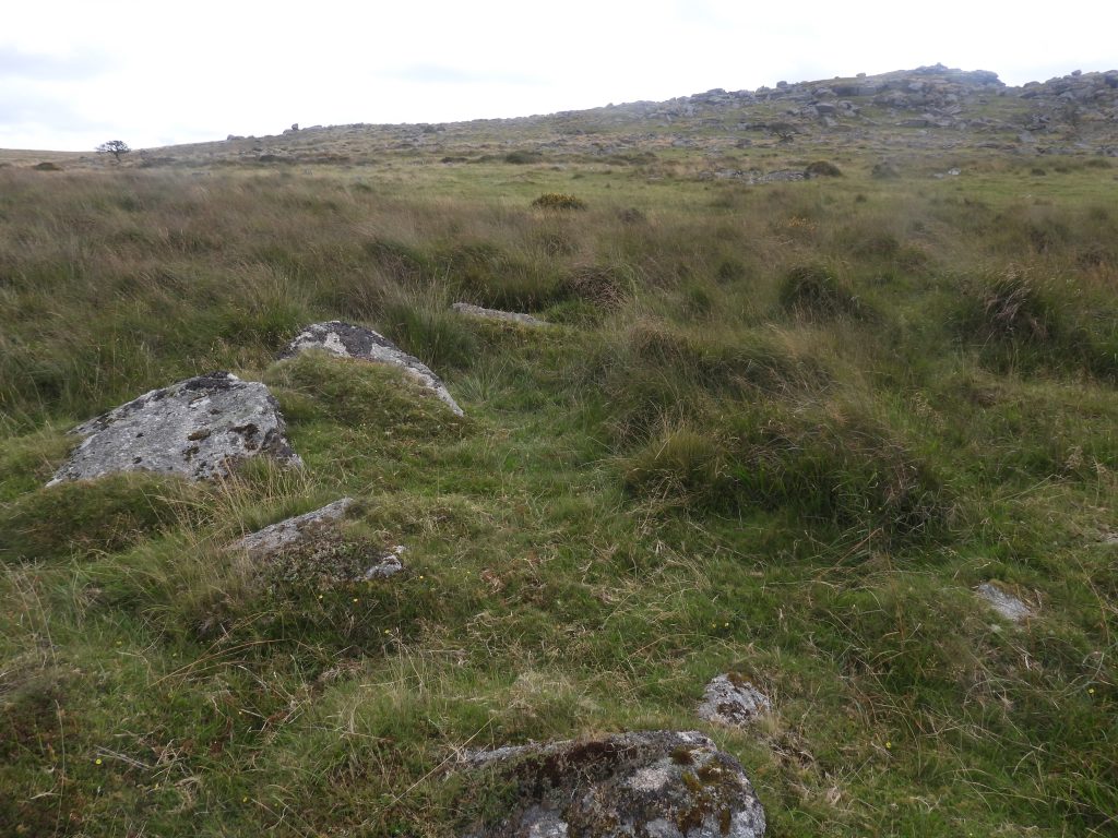
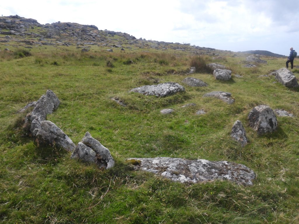
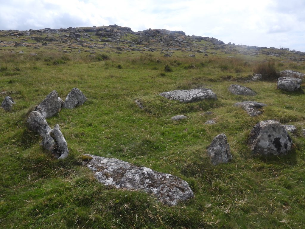
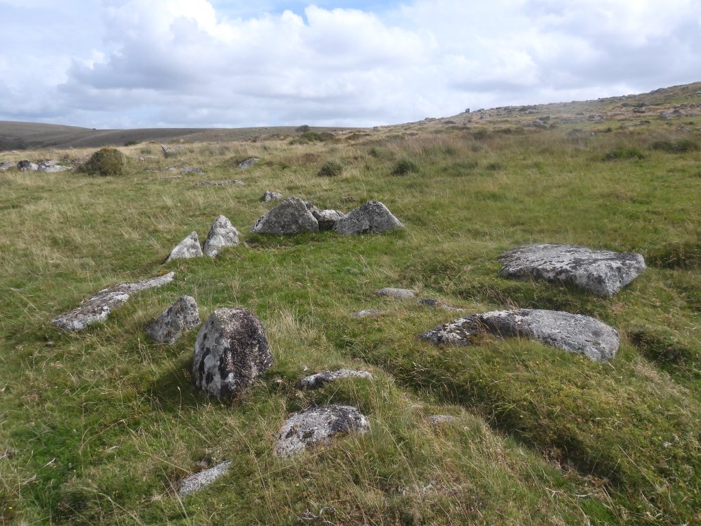
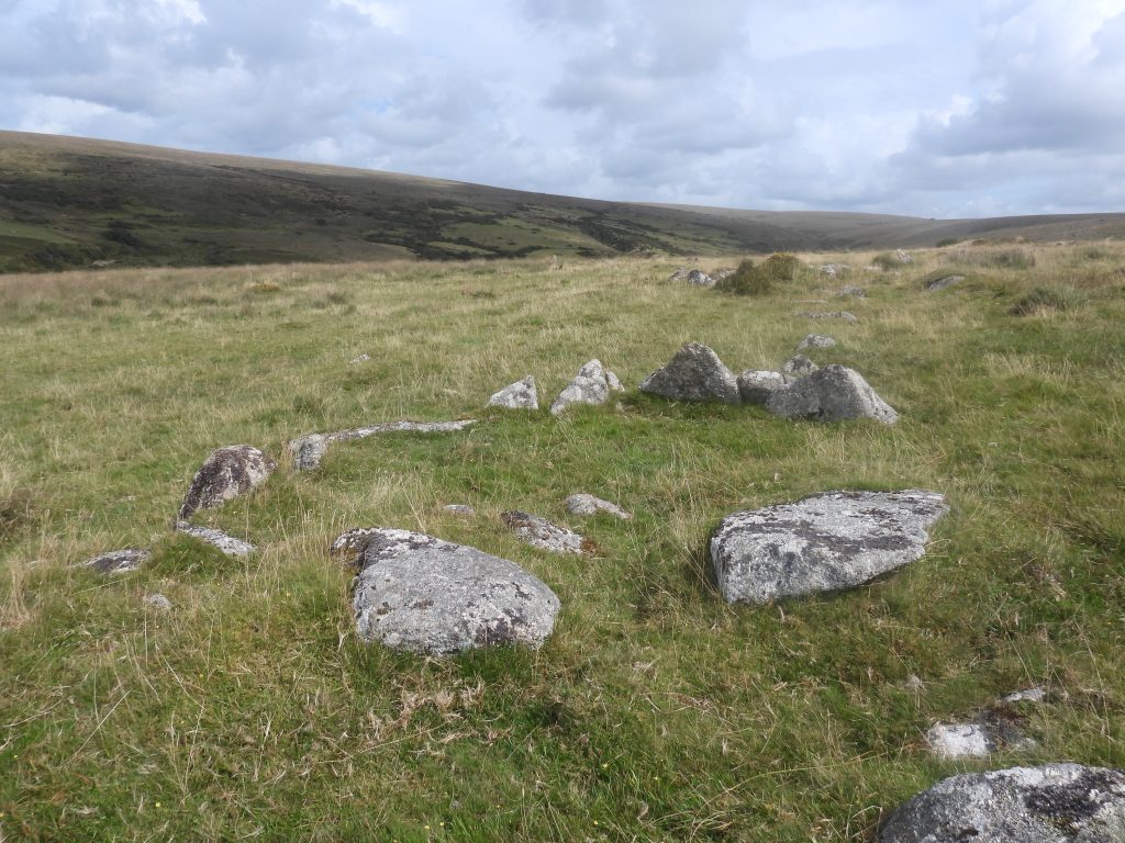
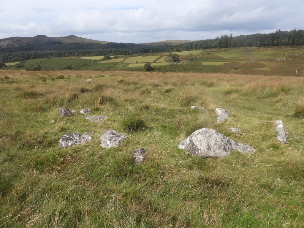
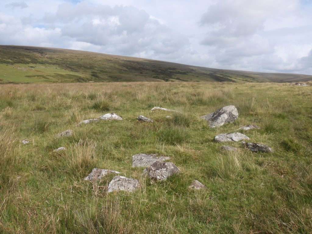
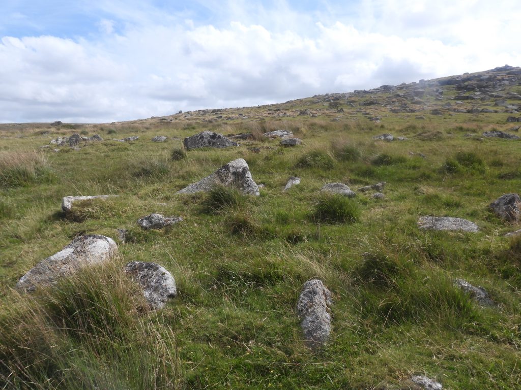
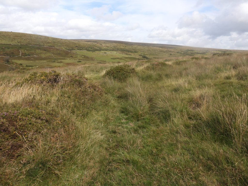
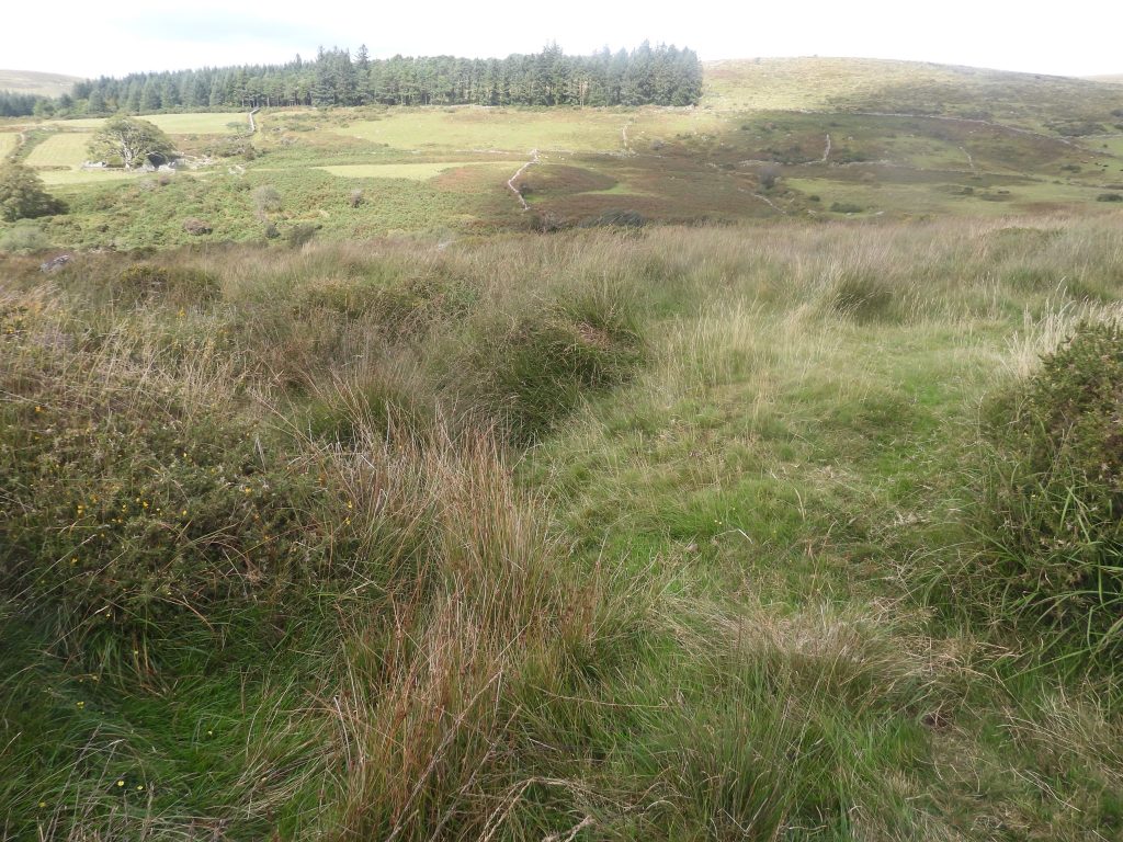
This sketch map indicates the relative locations of all the artefacts covered in this post and includes those from the Medieval Period (a Longhouse, bank and ditch), the Bronze Age Period (four Cairns with Cists) and the post Medieval Period (Tinners workings, a reservoir and a building)Cairn with Cist (annotated number 4 on sketch map) on the south side of Down Tor. Ordnance Survey have measured the cist as 1.6 metres by 0.9 metres externally, 1.0 metres by 0.6 metres internally with a depth of 0.6 metres. Gerrard describes the capstone or cover stone as measuring 1.8 metres by 0.9 metres wide, which now lies a short distance south of the cist.The small cairn here is 4 metres diameter by 0.3 metres high with a cist (Butler). In 1948, Worth described this Cairn / Cist as consisting of two side stones, an end stone and a displaced cover stone, within a small barrow or cairn. Contextual picture of Cairn / Cist 4 in relation to Down TorCairn / Cist 4 is located at SX58035 69283. There is a great view of Burrator Reservoir from the artefactA Christmas Tree next to a rock on the south east slopes of Down Tor with views towards Hingston HillThis sketch map is based on the drawing found in Jeremy Butler’s book ‘Dartmoor Atlas of Antiquities: Volume Three – The South-West’. It is on page 73 annotated as Figure 47.10. It shows the cluster of three Cairns with Cists located to the north west of Hingston Hill and to the north east of Down Tor. Visiting these three antiquities brings back very fond memories for the author, who was guided to visit them by C.E.Birkett Dixon (Ted) on night walks in the 1990s. Ted had recorded them in 1958, (73rd Report on Barrows). These three cairns are around 370 metres east-north-east of Down Tor, situated in a north facing valley lying between Down Tor and Hingston Hill, overlooking the valley of Newleycombe Lake. Intriguingly, Butler annotates them as being on Hingston Hill (north) and Birkett-Dixon as being on Down TorExtract from the 1958, 73rd Barrows Report describing the three Cairns / Cists on the north east slopes of Down Tor. There appears to be a couple of errors in this report; a) There are only three not five Cairns / Cists and b) The Nat. Grid. Ref is around 100m outCairn with Cist (annotated number 1 on sketch map) on the north east side of Down Tor. This is described as the ‘northern’ Cairn / Cist by Ted Burkett-Dixon and as ‘Hingston Hill North cairn 1’ by Jeremy Butler. The inset picture from the 1950s shows clearly how overgrown the cist has become over the intervening 70 or so yearsButler in 1994, measured the cairn as being 3 metres diameter by 0.3 metres high. He further described the cist as being very small and overgrown. He described that the cist was originally covered by a “slight mound which might have remained concealed but for the tinners’ leat cutting across the base of the cairn close to the stones”The cist measures 0.53 metres by 0.3 metres by 0.53 metres deep and is orientated south-east to north-west (ref: Gerrard)Close up of the ‘northern’ or ‘cist number 1’. It is located at SX58382 69561. Eric Hemery in High Dartmoor makes a observation that the cist is the smallest known in situ on the Moor, which appears to have been a quote in the 73rd Barrows ReportSketch and description of the ‘northern’ cist as recorded in the 73rd Barrows ReportCairn with Cist (annotated number 2 on sketch map) on the north east side of Down Tor. This is described as the ‘western’ Cairn / Cist by Ted Burkett-Dixon and as ‘Hingston Hill North cairn 2’ by Jeremy Butler. The inset picture from the 1950s showing that there was less vegetation thenThis cairn measures 3 metres diameter by 0.3 metres high (Butler). The central cist has one end and one side slab present and measures 0.65 metres by 1 metres by 0.5 metres deep (Newman). the slab on the western side slab is slightly displaced. The cist of the eastern cairn or number 2 is orientated east-north-east to west-south-west and located at SX58383 69558. Leather Tor and Sharpitor in the distanceThe ‘eastern’ or number 2 cairn / cist with Down Tor in the backgroundSketch and description of the ‘western’ cist as recorded in the 73rd Barrows ReportCairn with Cist (annotated number 3 on sketch map) on the north east side of Down Tor. This is described as the ‘eastern’ Cairn / Cist by Ted Burkett-Dixon and as ‘Hingston Hill North cairn 3’ by Jeremy Butler. The inset picture from the 1950s showing how little vegetation there was then compared with now (2025 August) The ‘western’ or number 3 cairn / cist measures 4.2 metres diameter by 0.6 metres high (Butler) and is overgrown with gorse and heatherThe edge of the mound is defined by a ‘kerb’ of large edge set stones, although not many are visible. The cist in the centre of the mound is 1.2 metres by max of 0.7 metres by almost 1 metre deep, is orientated north-south and is trapezoidal in shape.The ‘western’ or number 3 cairn / cist is located at SX58391 69555Sketch and description of the ‘western’ cist as recorded in the 73rd Barrows ReportIn the area covered in this post there are tin openworks and many pitworks. There is also evidence of two leats which supplied water to the area having been diverted from the Drivage Bottom area. The shallow tin openwork shown in the photograph is the first encountered east of the three cairns / cists enroute to the LonghouseThe main openwork in the area extends from the edge of the Newleycombe Valley Streamworks to a point just south of Down Tor and is crossed when walking between the three cairn / cists and the LonghouseThe tin openwork has be measured as being approximately 211m long by up to 22m wide and 6m deep (ref: Newman). Looking in a north-easterly direction down the tin working towards Newlycombe Lake. The tinworks are likely to be of late medieval or post-medieval date.Aerial view of Down Tor Longhouse and eastern end of Medieval bank and ditchThe Medieval Longhouse on the northern slopes of Down Tor is aligned south-west to north-east and is thankfully devoid of vegetation. It is a two roomed building and there are other earthworks , perhaps representing outbuildings and a farmyard, which survive immediately to the east (ref: Gerrard).The Longhouse is of rectangular shape and measures 16 metres by 4 metres internally, with a room at lower end 2 metres by 4 metres (Greeves). The walls comprise of low stony banks which are now mostly covered by turf. There is a particularly large stone visible which can be seen in the photograph.This ruined Medieval Longhouse has some evidence of associated fragmentary enclosure walls. To the east is a small turf banked enclosure and there is an additional linear enclosure wall attached to the south-west corner of the Longhouse.Leading away from the south-west corner of the Longhouse is a well-defined stony bank (and ditch) which extends for around 300m to the west before fading out. This boundary is thought to have probably been intended to delimit ownership of the LonghouseFollowing the stony bank and ditch (medieval linear boundary bank), approximately 120 metres to the west, ‘attached’ to its south side are the foundations of a ruined buildingIt is thought that the building post-dates the medieval boundary and is probably associated with the nearby tinworks and thus has been annotated as a ‘Tinners Building’ on the sketch associated with this postThe ‘Tinners Building’ has been measured as: 4.2 metres by 3 metres, defined by a 0.7 metres wide and 0.3 metres high single orthostatic wall (ref: Gerrard)The Tinners Building is located at SX58009 69699The Tinners Building and the Medieval linear boundary bank looking west with Leather Tor in the distanceTo the north and south of the Medieval linear boundary bank and the Tinners Building is an (overgrown) enclosure / hut settlement from the Bronze Age (circa 2200 BC to 701 BC) which contains at least 10 Hut Circles. Jeremy Butler in Dartmoor Atlas of Antiquities: Volume Three – The South-West, page 63, Map 47, Figure 47.1 records two larger huts to the north of the bank and building. Above is Butlers ‘number 2’ Hut CircleThis Hut Circle was measured by Butler as being 5.5m in diameter.Butler’s Hut Circle 2 is double-walled and can be found at SX58012 69726This is Butlers ‘number 1’ Hut Circle, also measured as being 5.5m in diameterBoth this hut (1) and hut (2) is linked to the boundary wall of a small circular enclosure.Butler’s Hut Circle 1 is also double-walled and can be found at SX58031 69743. Butler records that only two of the Hut Circles in this area (ie his annotated ‘1’ and ‘2’) were likely to have been dwellings.To the south of the Medieval linear boundary bank more Hut Circles can be found. These are smaller in diameter (3.0m to 3.5m), which Butler does not believe were dwellings since they are mostly single rings of slabs which could never have been roofed.This Hut Circle is located at SX57992 69662Another Hut Circle, largely devoid of vegetation and located close to the Down TorThis Hut Circle is located at SX57984 69626In spite of Butler stating the Hut Circles to the south of the linear boundary bank being between 3.0m to 3.5m, others have measured this particular hut as having an internal diameter of 4.5m. As previously stated by Butler, this hut has mostly single rings of slabs which could never have been roofed.Another Hut Circle within the settlementThis Hut Circle has mostly displaced stones, with the uphill stones (south side) having fallen inwards. It is approximately 5m diameter.This Hut Circle is located at SX57966 69629Recorded by Gerrard and Greeves there is a tinners reservoir located and reusing the western end of the medieval linear boundary bank. This is difficult to locate (at least the author found it so). Gerrard description is: “Survives as two linear banks each measuring 10m by 4m by up to 1m high, forming a shallow V-shape”. The location of the photograph is SX57880 69662. This construction is likely to date from late Medieval or early post-MedievalThere is a gap between the two linear banks described by Gerrard. It is 2.5m wide and may have been the site of a sluice gate, which was probably a wooden construction. This is located at SX57871 69662