A collection of walks, discoveries, insights and pictures of exploring Dartmoor National Park
February 5, 2026
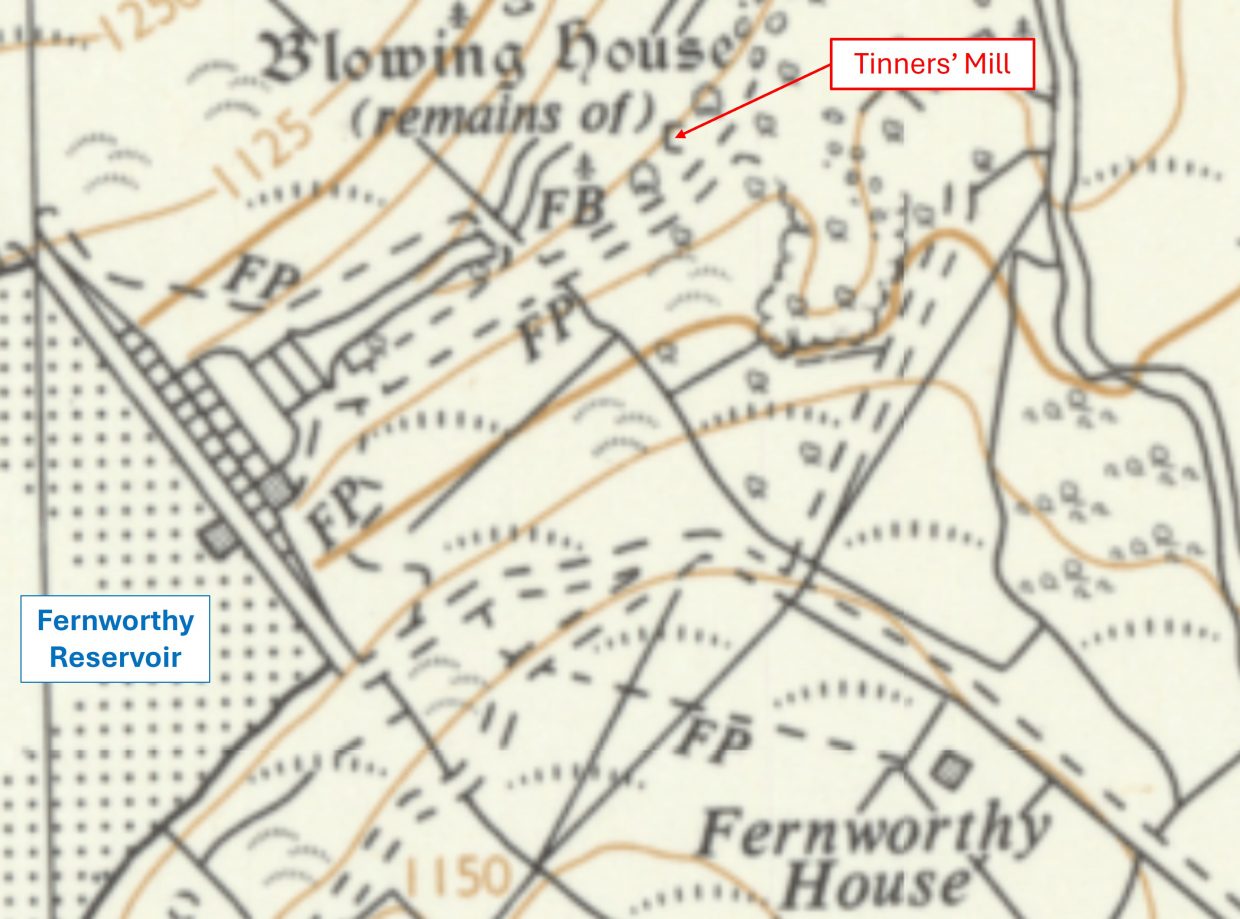
Thornworthy Tin Mill
This mill was first noted in ‘modern times’ by William Crossing in 1912, who stated that there were two buildings here, a mould stone and a trough. The mill structure probably dates to the 16th century and would have had a waterwheel powering bellows for smelting tin ore. It has been recorded as Mill number 153 in Dr Tom Greeves list of Lodges and Mills: The Field Archaeology of Tin Accommodation, Stamping and Smelting (pre-1750).
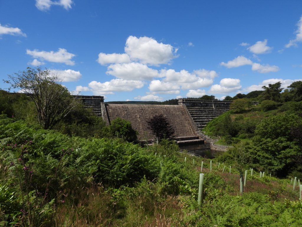
It was confirmed as a tin smelting site (ie Blowing House) by Richard Hansford Worth who reported finds of tin slag during the digging of a pipeline in the 1920s, which was around a decade before the dam and reservoir began construction. The trench also revealed ‘much slag and also sand and slime from tin-dressing’ suggesting that it may have also been a Stamping Mill (or there was one close by – there were remains of the second building noted by Crossing nearby. That said, having two mills so close together is unlikely as they most probably would have been a combined structure).
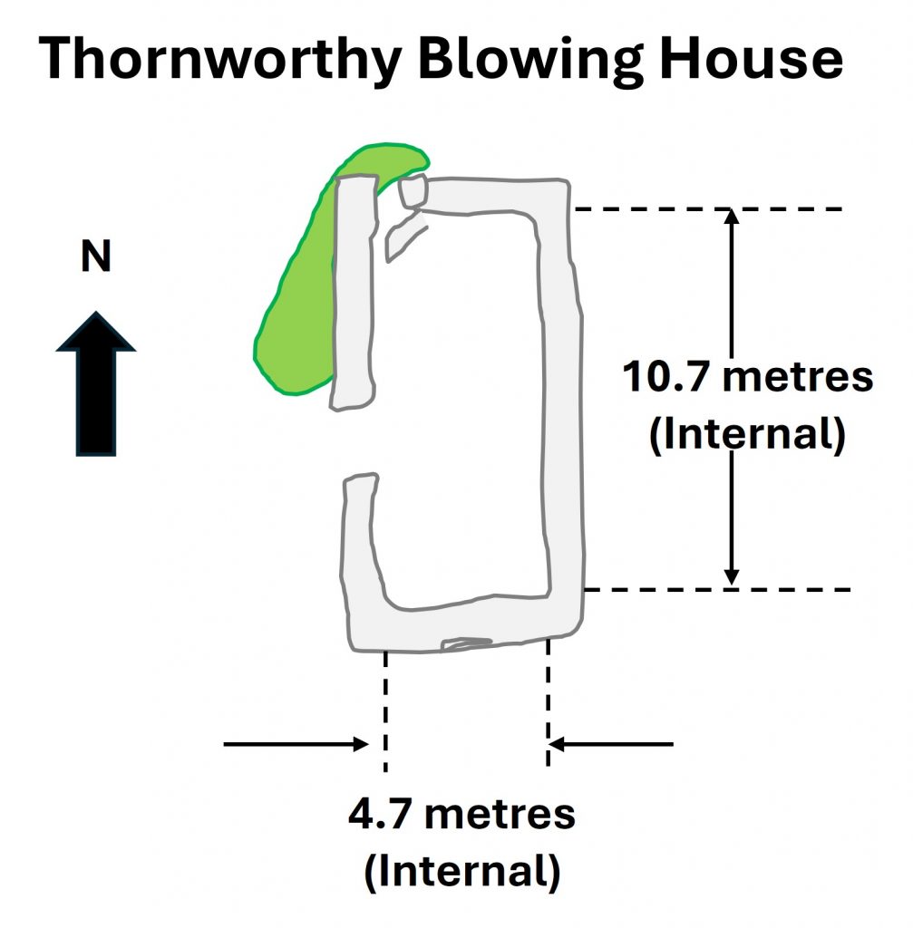
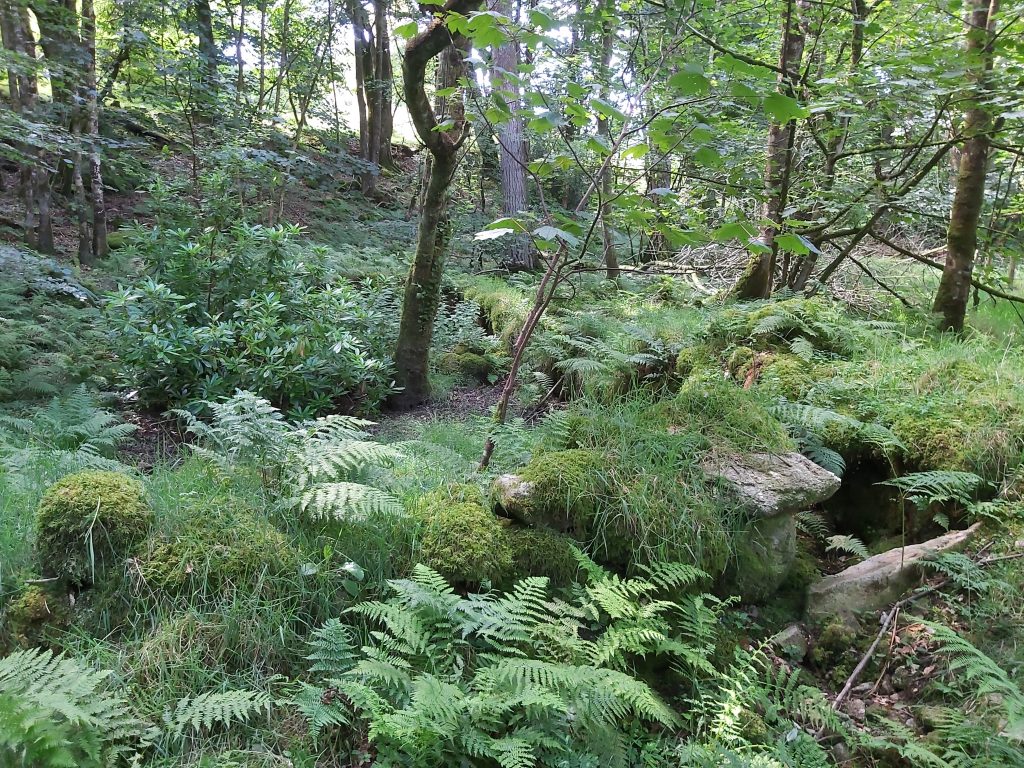
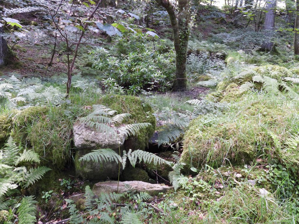
Today, there are just the remains of a simple rectangular structure around 11m x 5m at the foot of the slope just a few metres from the river. There are no signs of a leat, wheelpit or furnace. Certainly, any traces of a leat to supply water would most certainly have been destroyed during the construction of the Fernworthy dam (1936-1942).
Bibliography
William Crossing – (1912) – Guide to Dartmoor, pages 246 and 259
R. Hansford Worth –(1940) – Worth’s Dartmoor, The Dartmoor Blowing House, page 292
The Tinworking Landscape of Dartmoor in a European Context – (2016) – Paper presented by Dr Tom Greeves – Lodges and Mills: The Field Archaeology of Tin Accommodation, Stamping and Smelting on Dartmoor at the conference (6th – 11th May 2016) at Tavistock
Dr P. Newman -(2013), The Archaeology of Fernworthy Forest, Dartmoor, Devon. Supplement. The Lakeside Area and Lowton Farmsteads, 24-5, 30, Figs 26-28 (Report – Survey). SDV356884.
Dartmoor National Park Authority – (1985) – Fernworthy Forest and Reservoir Walks (Leaflet). SDV363054
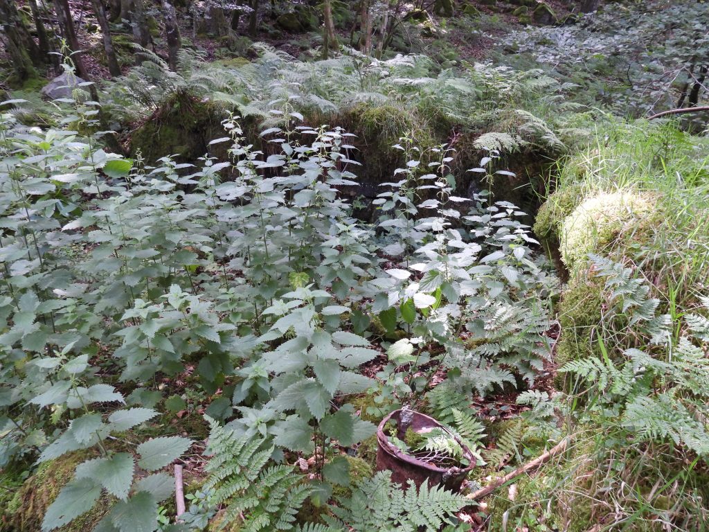
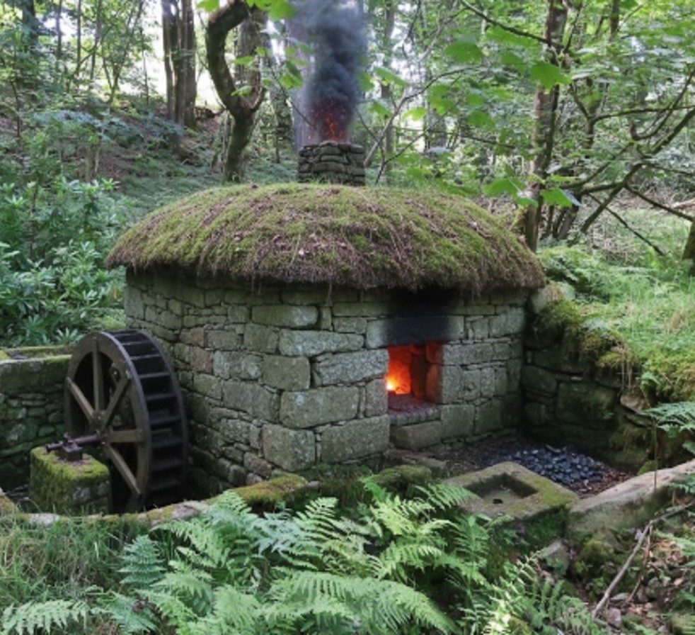
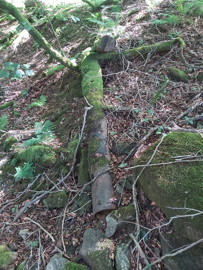
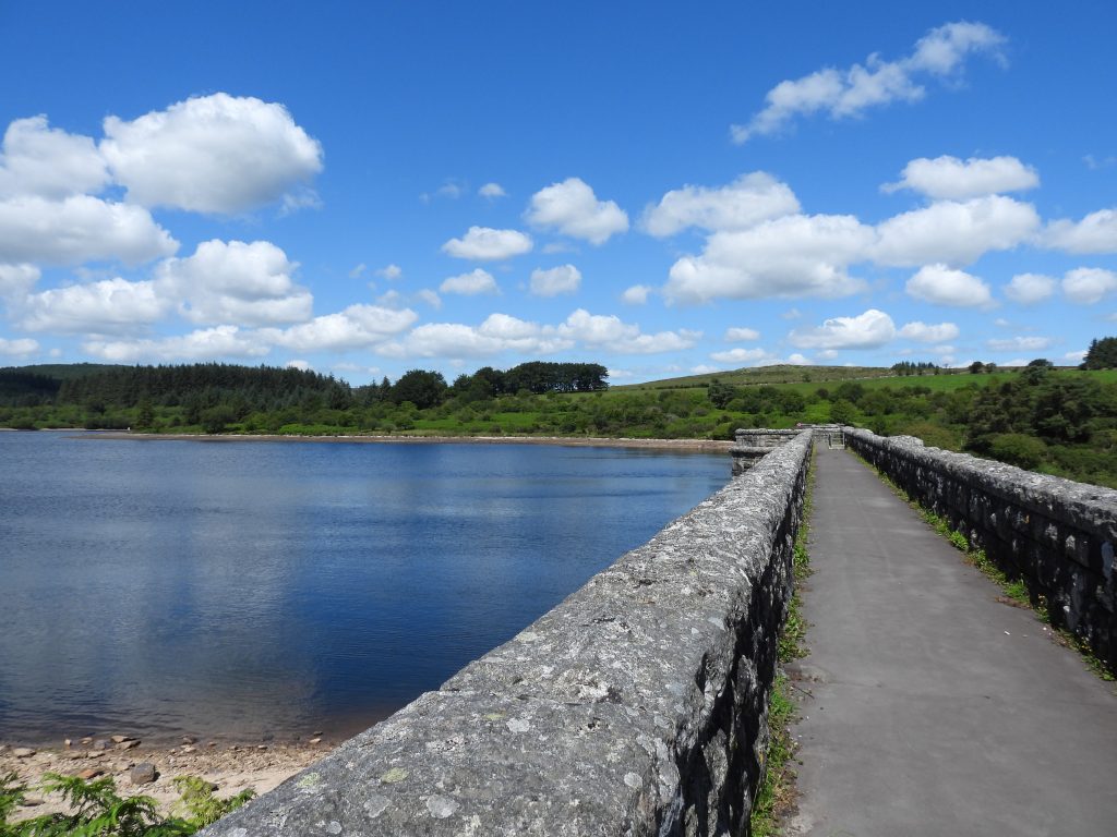
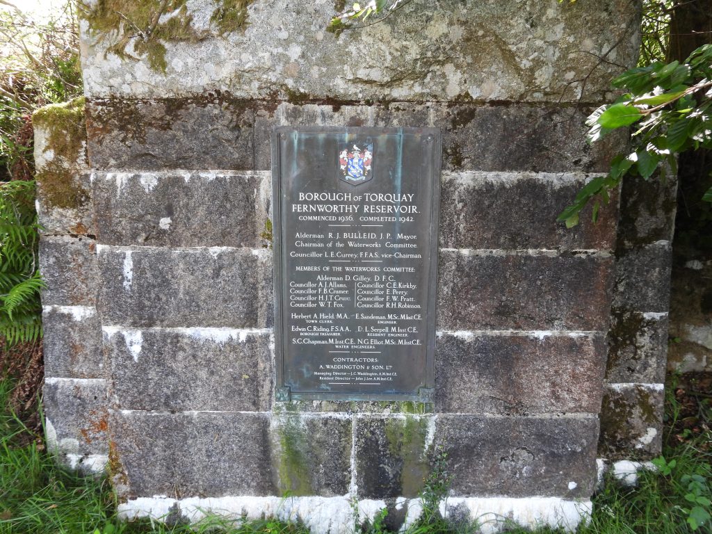
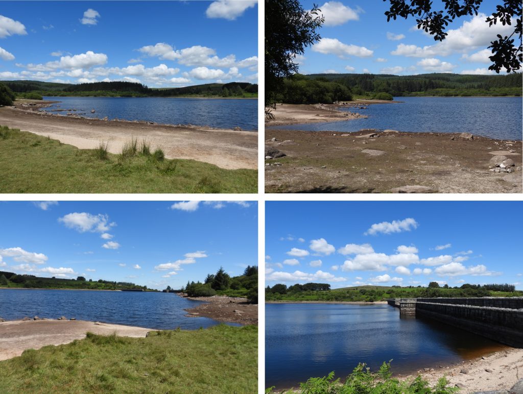
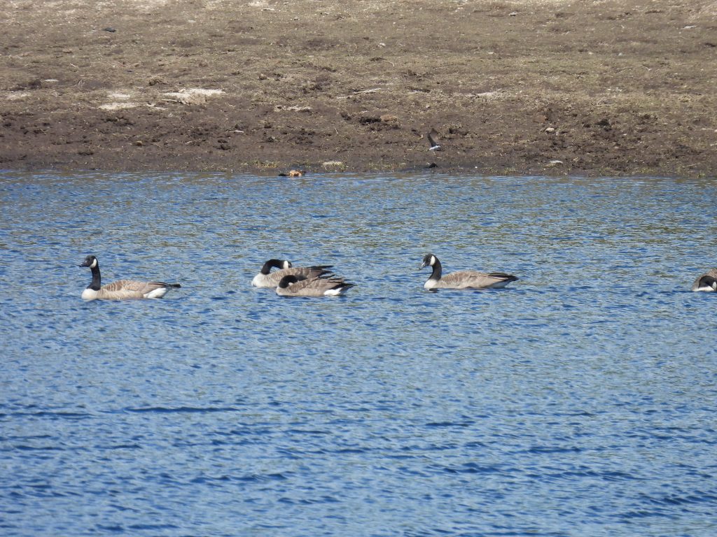
The Blowing House does not appear on OS maps until the 20th century. It is located to the north east of Fernworthy dam at approx. SX6722 8443The surviving Blowing House (smelting mill) is a simple rectangular building. The internal dimensions are 10.7 by 4.7 metres as measured by DNPA in their walks leaflet (1985). There are no particular discernible features of noteThe remains of the Medieval Blowing House taken in summer when there is a lot of vegetation. The picture shows the north west corner of the structure where there is an assumed opening. The fallen rock is around 1.9m long and may represent a fallen lintel. Worth measured the mill as being 33ft 6in. by 13ft. 6in.The west, north and south walls still remain at around a height of 1.25m. The eastern wall has been mostly robbed. Tin Slag was found approx. 8 metres east of the north-east outer corner of structure, which has subsequently been donated to Plymouth Museum (ref: Greeves)The north west entrance. The mould stone found by William Crossing is now missing. This and the finds of slag from the pipe trench (ref: Worth) is the only evidence that this was a tin-smelting site. That said Newman records: “There is evidence of tin working in the locale with several stony waste heaps typical of stream works nearby”. This is an AI (Gemini) impression of a Blowing house at this location. It is doubtful that the building would have been so small and the waterwheel may well have been internal to the building. An old pipeline found in the vicinity – could this date from the 1920s?Fernworthy Dam spanning the river Teign. The dam is built of concrete and faced with granite supplied from a small purpose dug quarry just a few hundred metres south of the dam. Fernworthy Dam looking north to Thornworthy TorPlaque at Fernworthy commemorating the dam and reservoir construction between 1936 and 1942. It was completed on 22nd June 1942, after a few delays due to the war years. Fernworthy Reservoir covers 37 hectares (76 acres) and is 20 metres (64 feet) at its deepest. The reservoir is fed by primarily by South Teign River, Assycombe Brook and Lowton Brook. The reservoir gravity feeds into Trenchford Reservoir which supplies Torquay with drinking water. The reservoir holds up to 380 million gallons of water.Canada Geese on the reservoir in July 2020Great Crested Grebe on the reservoir in July 2020