A collection of walks, discoveries, insights and pictures of exploring Dartmoor National Park
August 24, 2025
Steeperton Brook / Bow Combe Tinners Huts plus a possible Tinners Mill
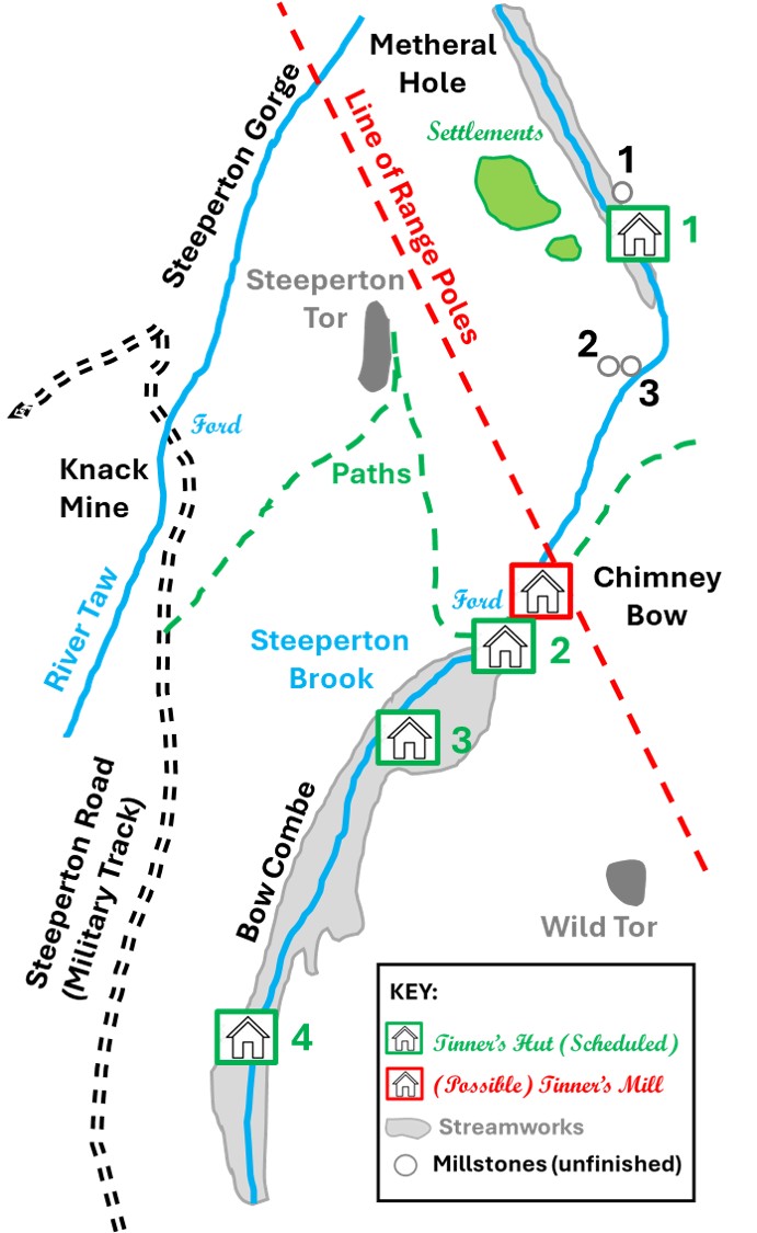
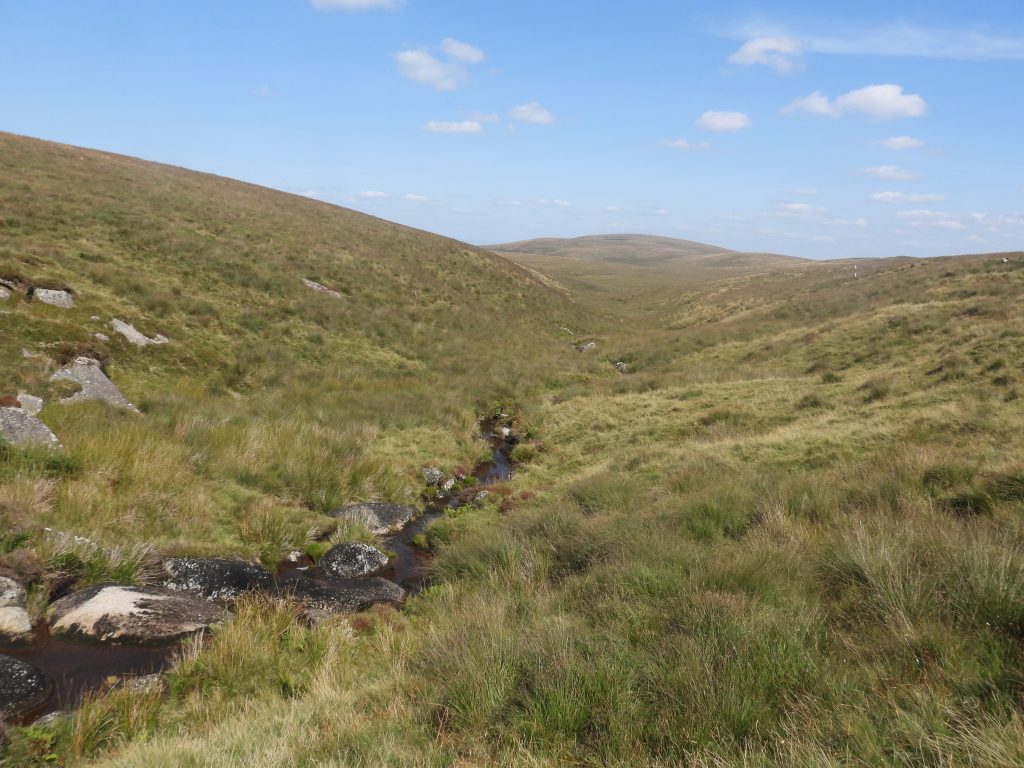
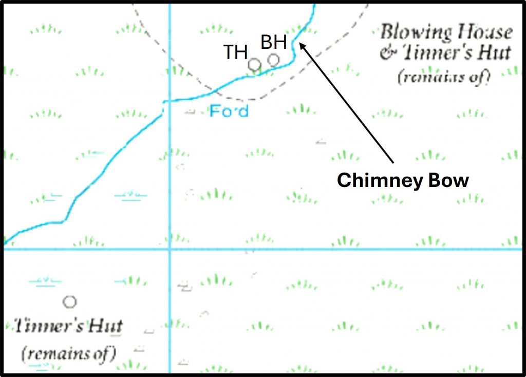
Medieval and later streamworks situated on Steeperton Brook (a tributary of the River Taw) are located in two main clusters, namely; north of Steeperton Tor between a small gorge called Metheral Hole and a bend in the brook to the south east and from Chimney Bow where there is a ford, all the way to the head of the brook at Bow Coombe Mire. The Royal Commission for the Historical Monuments of England (RCHME) record the size the Bow Combe as being 15 hectares.
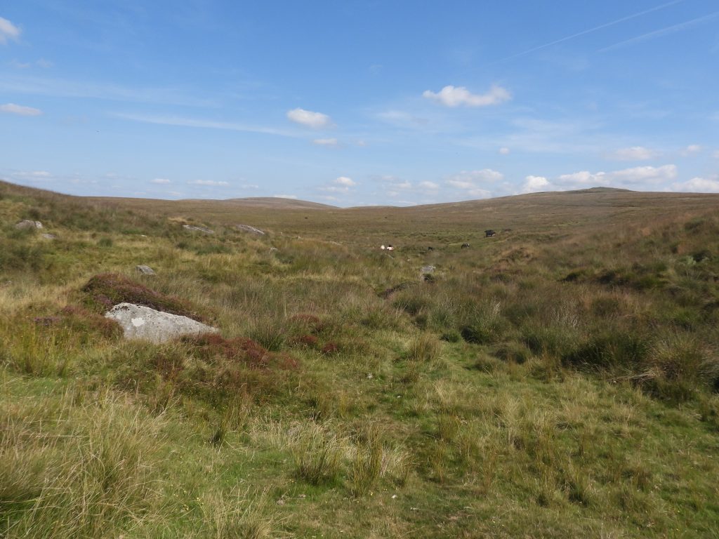
The streamworks at Bow Combe at the head of Steeperton Brook, below Hangingstone Hill, in particular, possess well preserved linear spoil heaps lying at an oblique angle to the present course of the stream. There are revetments at Bow Combe supporting the spoil heaps which are largely intact. Both Bow Combe and the area above Metheral Hole are delightfully remote and worth the effort in getting there.
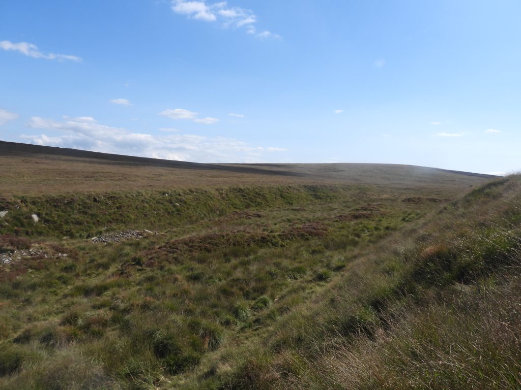
Aside the streamworks, in this area there are at least four Tinners Huts, a possible Tinners Mill (Blowing House) and three unfinished Millstones, which are all recorded in this post.
Bibliography
S. Probert and P.Newman (2003-2004) – Measured survey of North Dartmoor Military Range Okehampton Range: Monument Baseline Condition Survey (Report – Survey). SDV350801.
Royal Commission for the Historical Monuments of England(RCHME) (1987-1993) – Duchy Farms Project Survey Visit (Report – Survey). SDV350839
Dr. T. Greeves, (1981) – List of Doubtful Devon Tin Mills c1450-c1750, No. 49 (Un-published). SDV336693.
Jeremy Butler (1991), Dartmoor Atlas of Antiquities: Volume Two – The North, 214, Map 41
Brian Le Messurier (1975) – Ruined huts within tin streaming
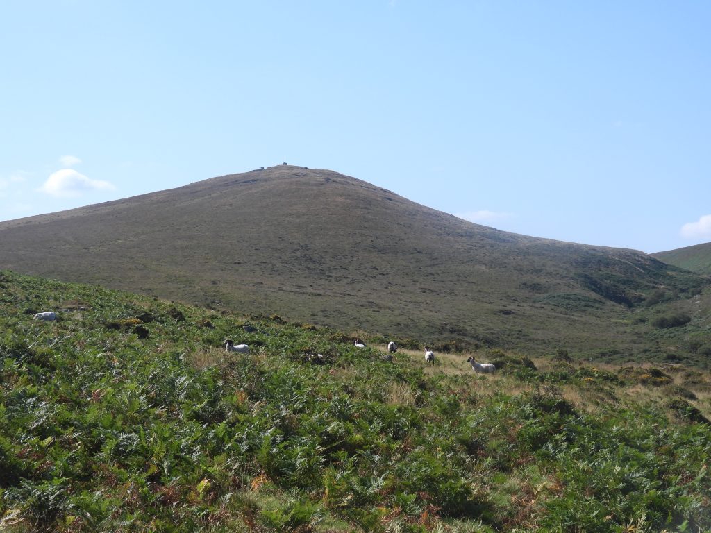
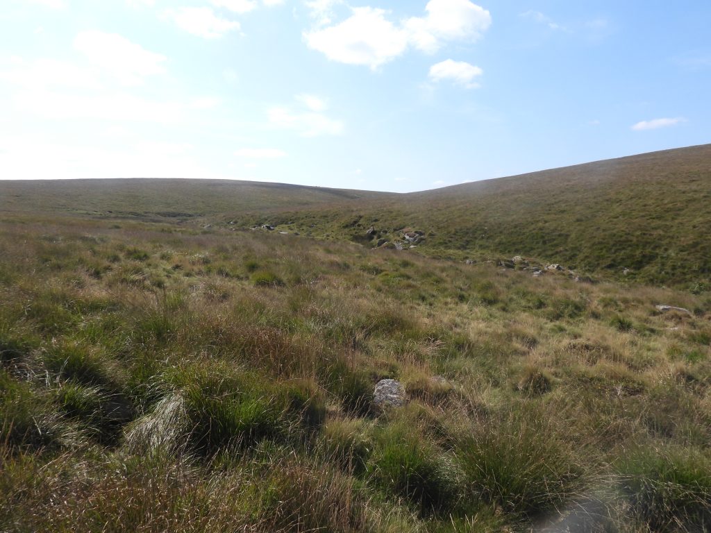
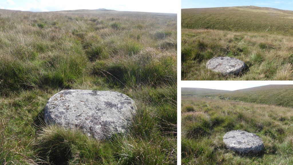
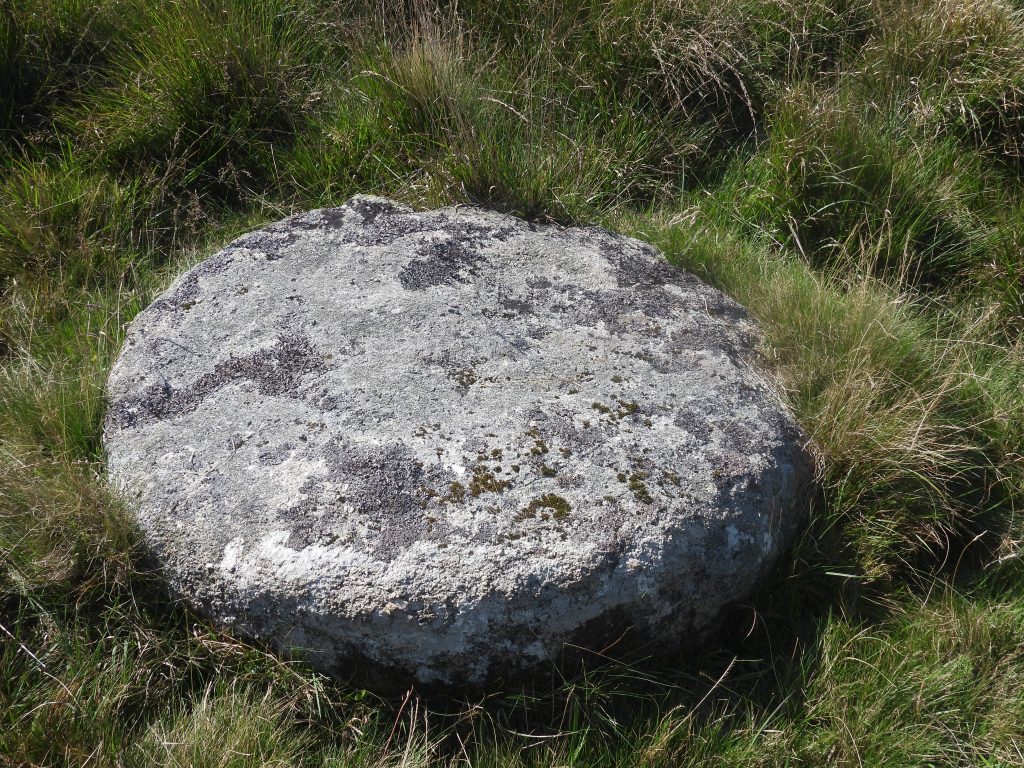
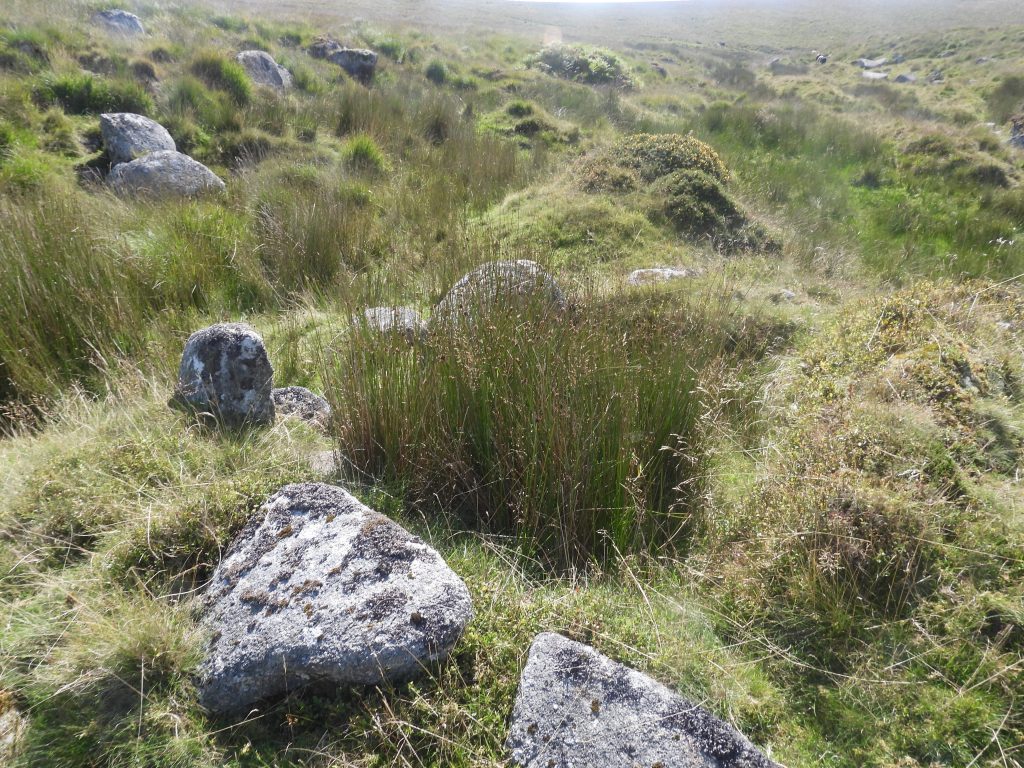
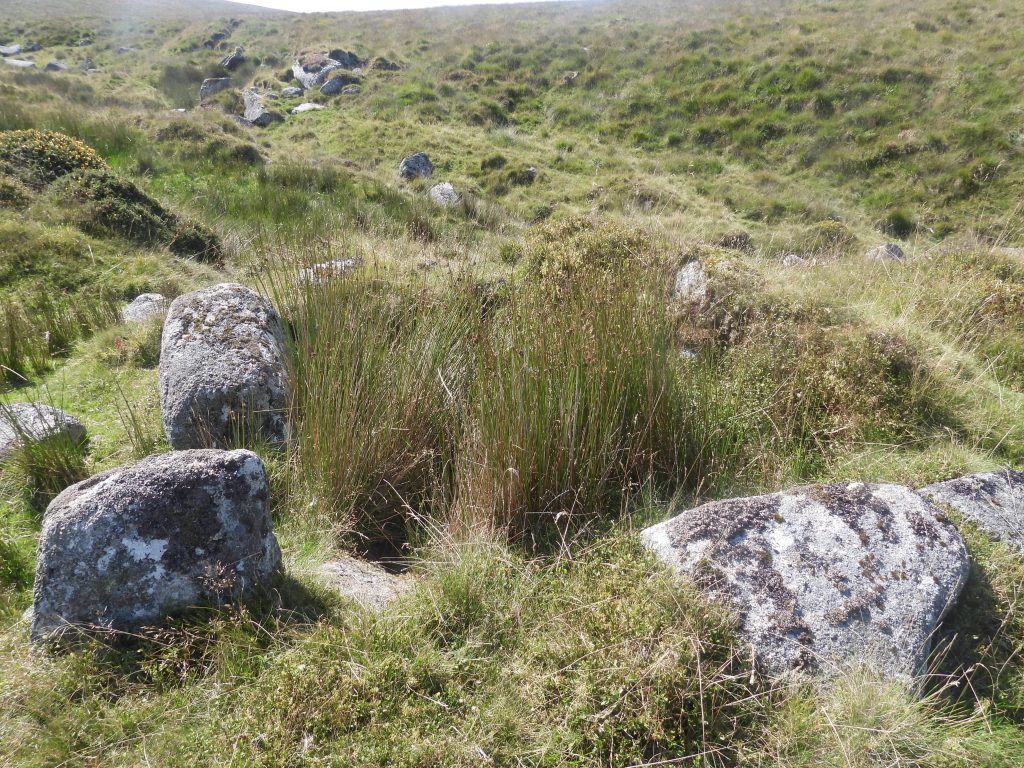
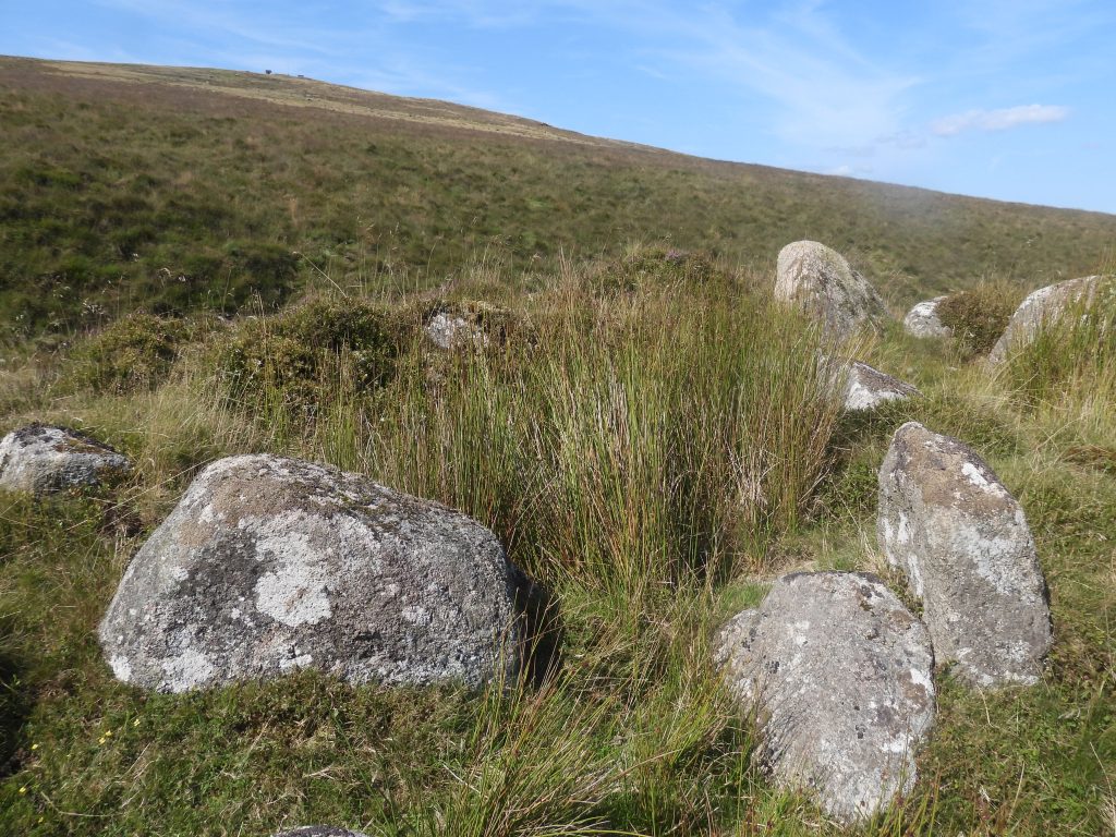
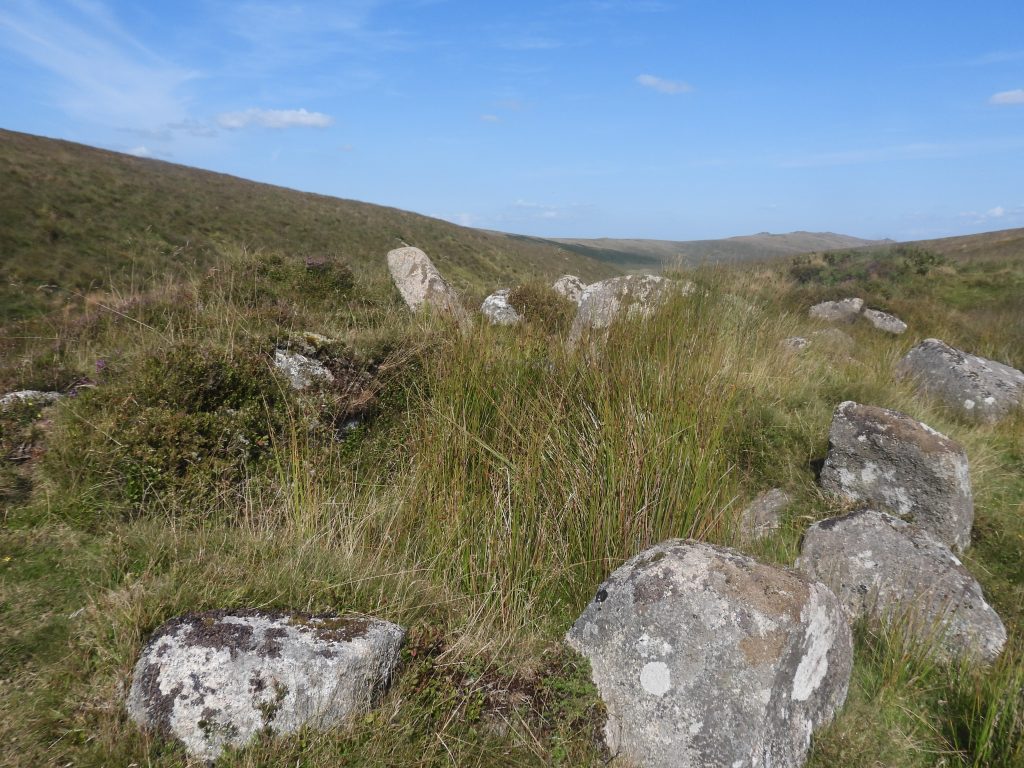
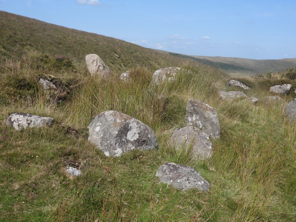
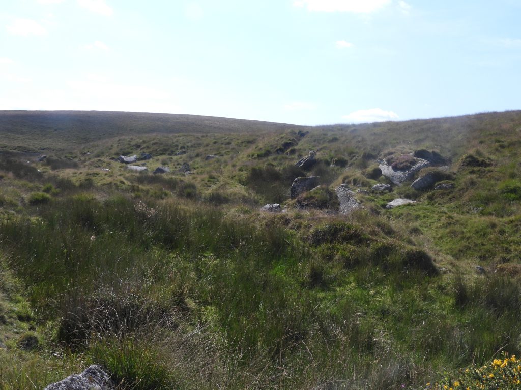
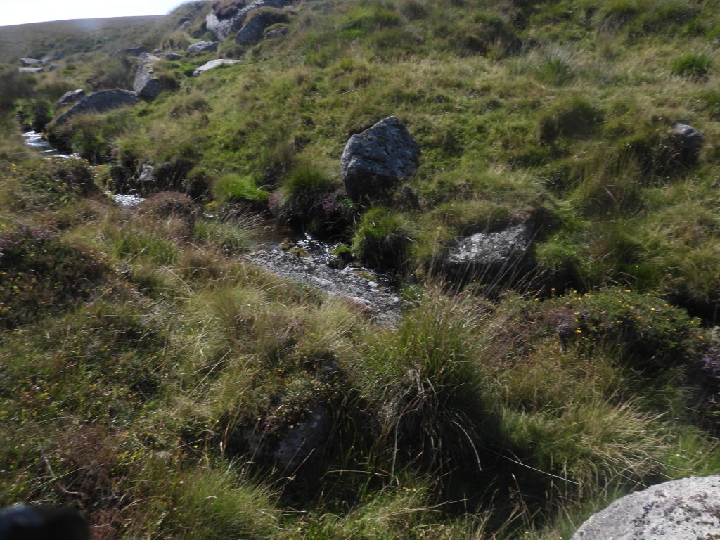
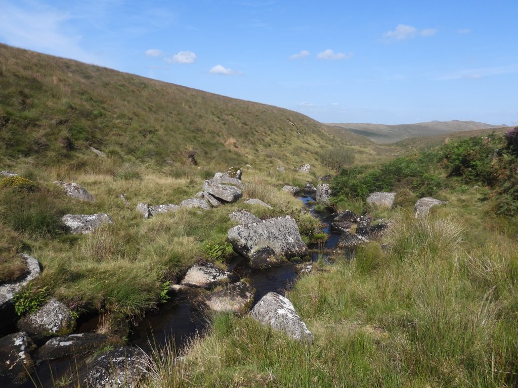
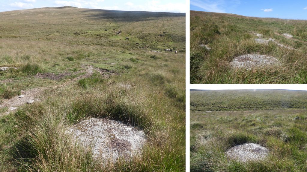
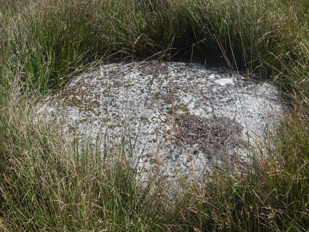
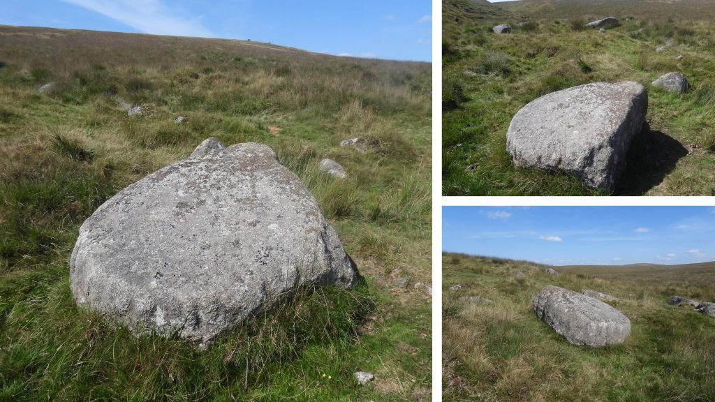
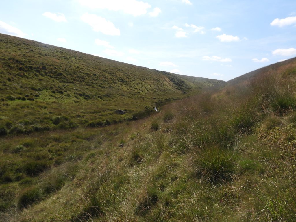
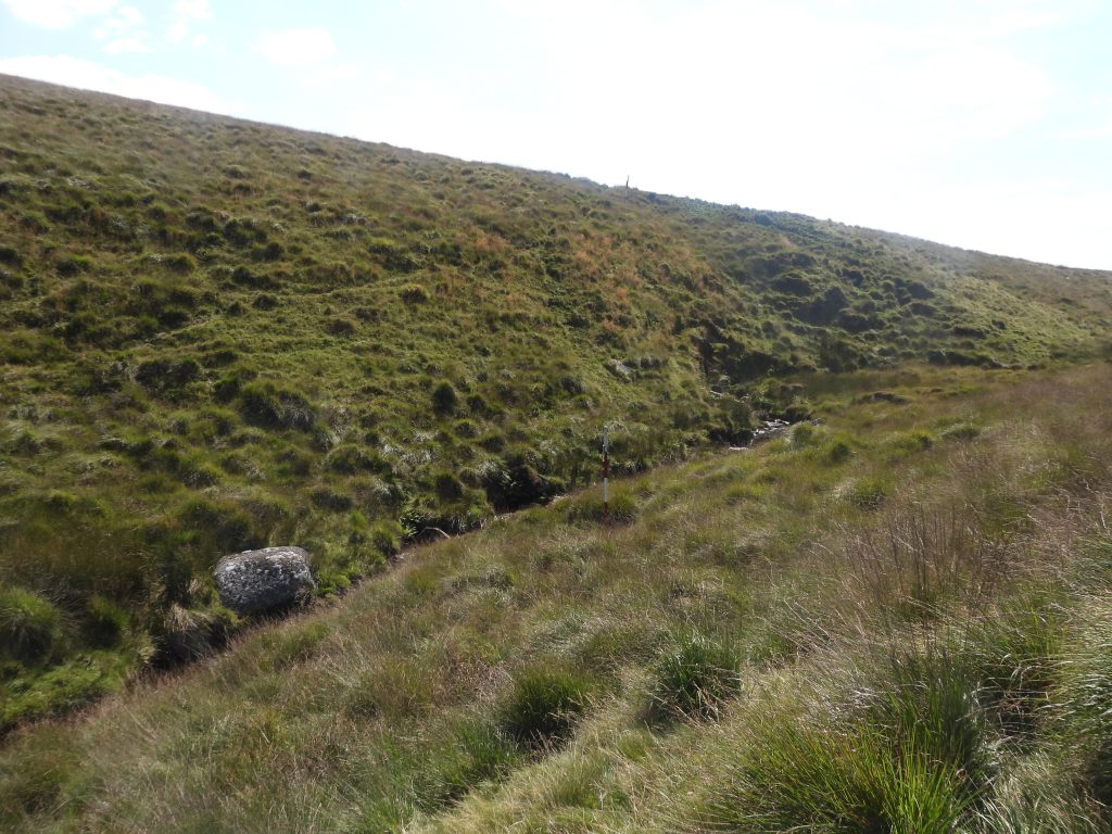
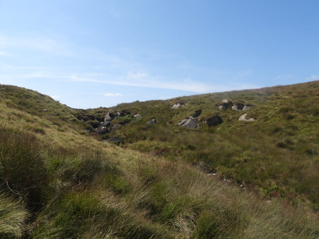
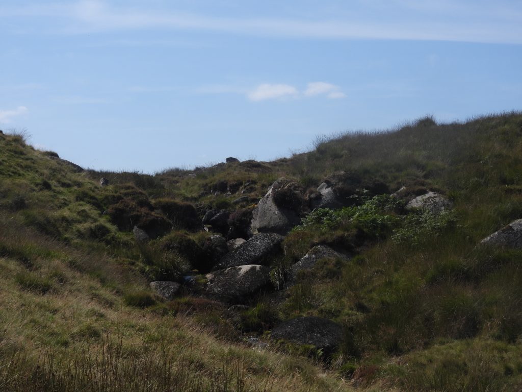
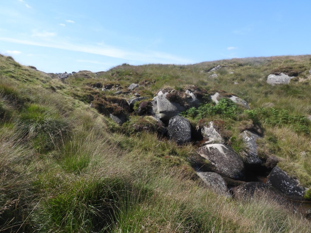
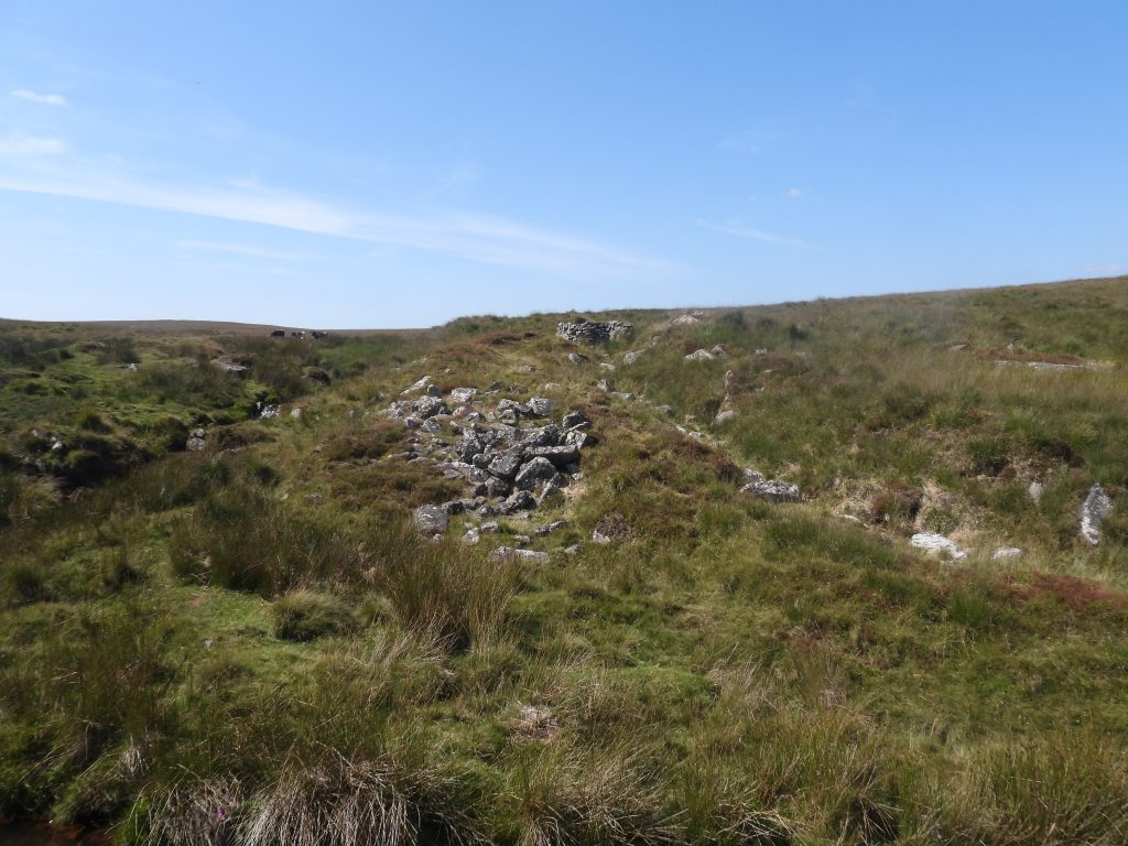
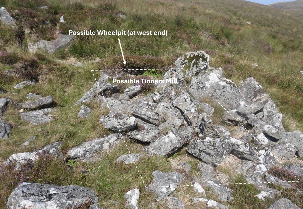
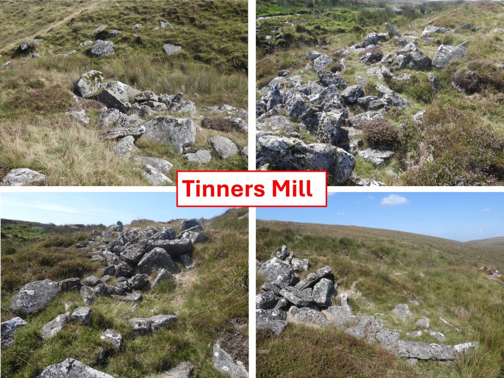
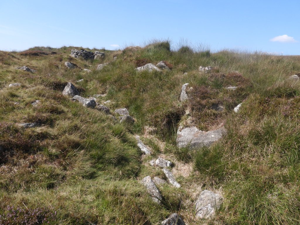
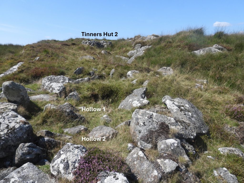
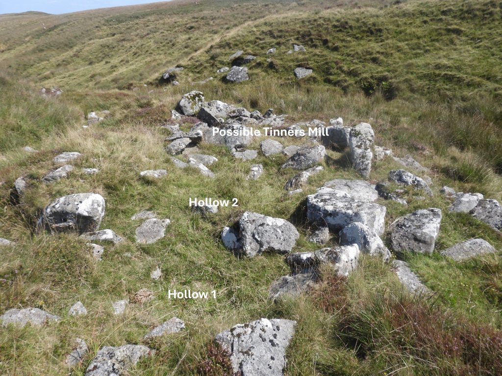
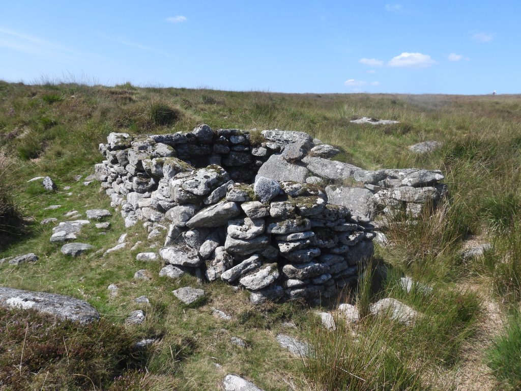
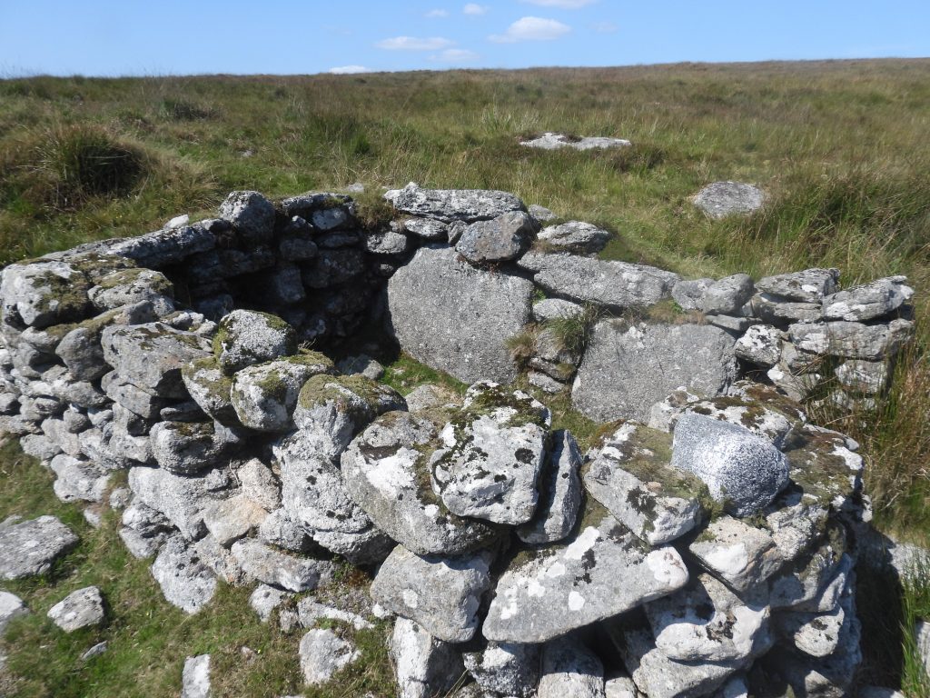
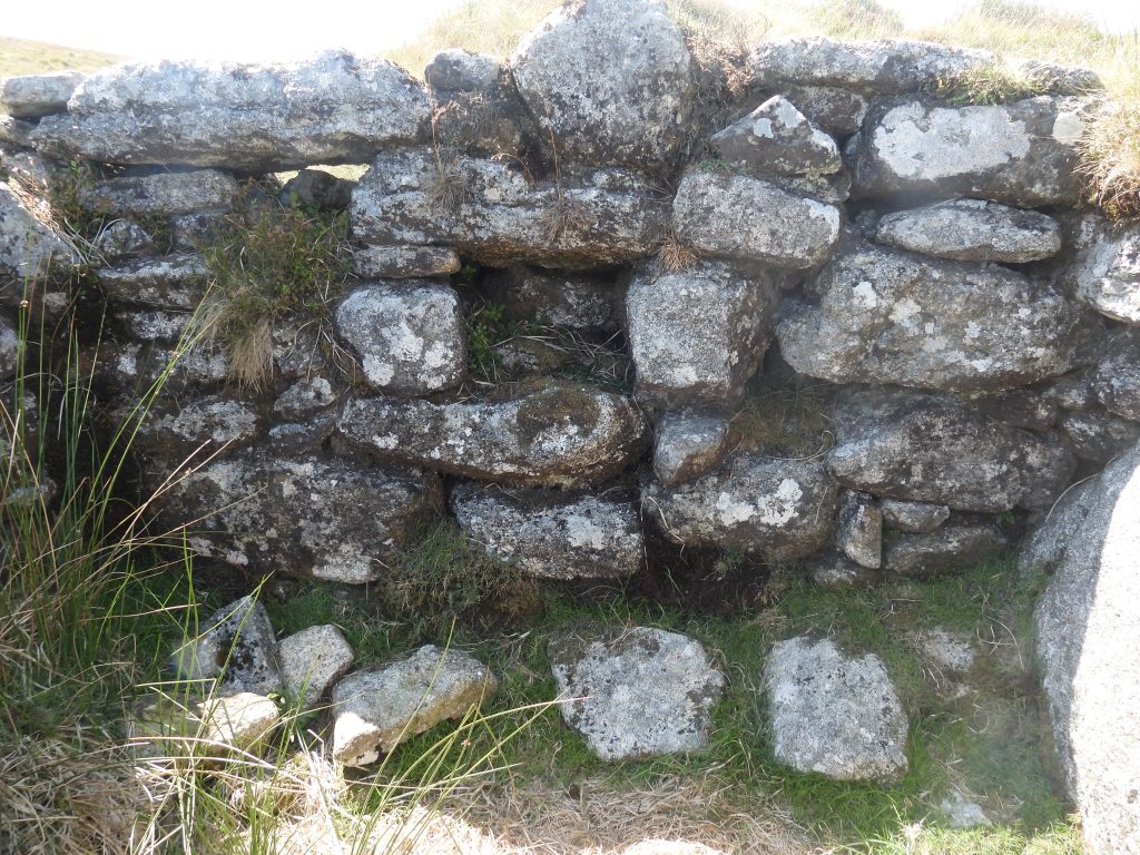
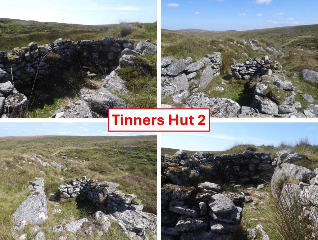
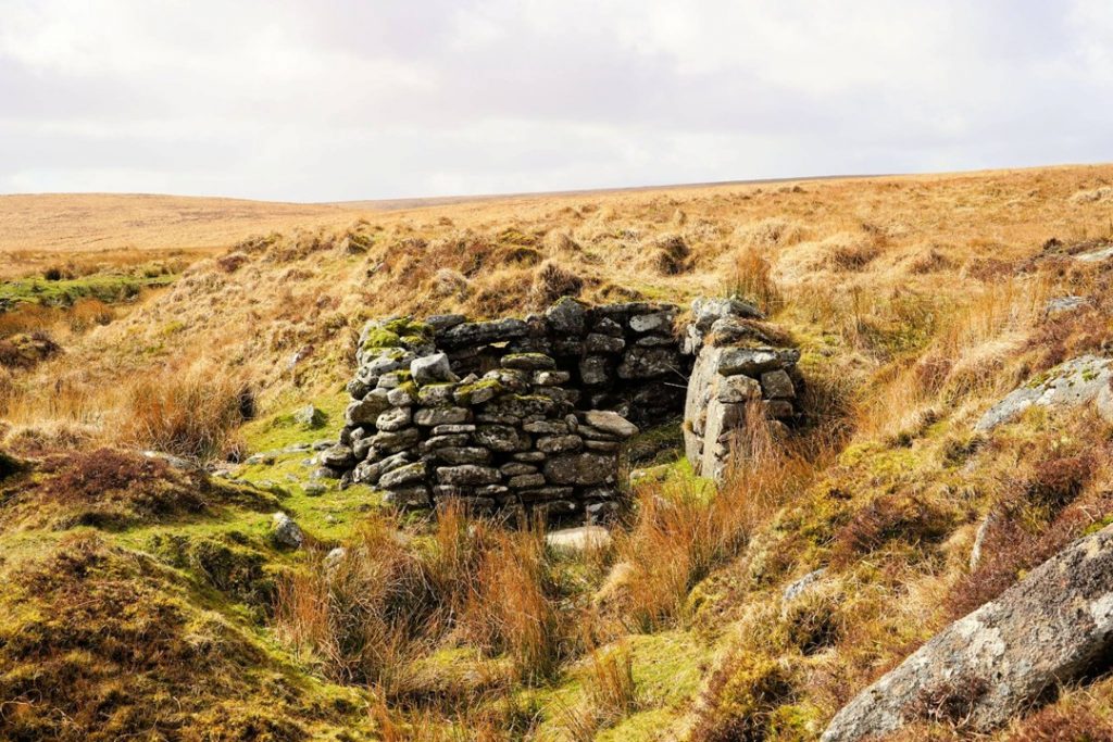
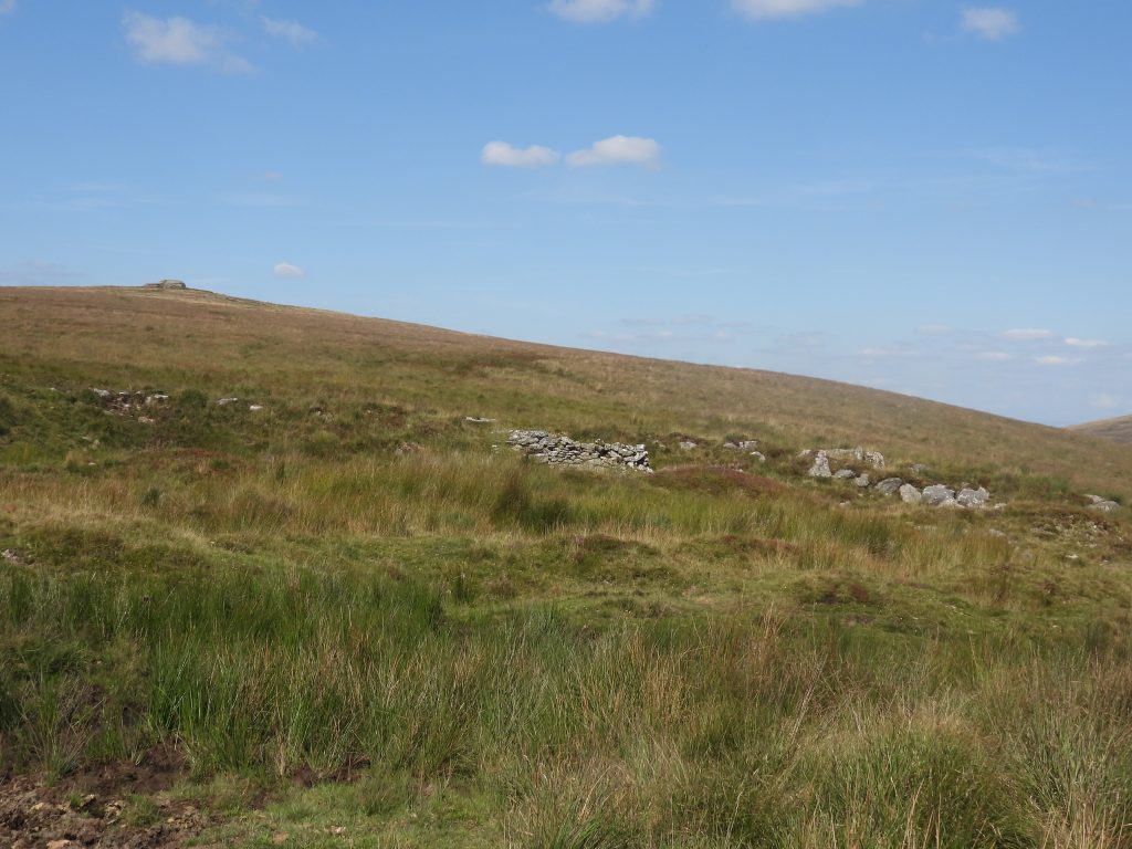
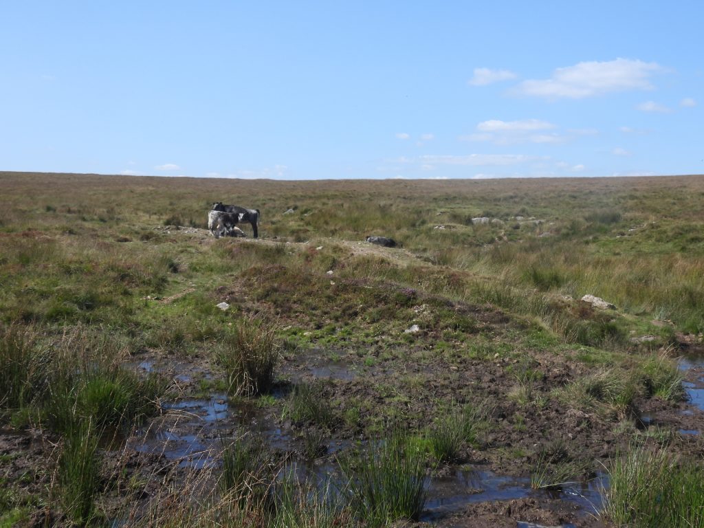
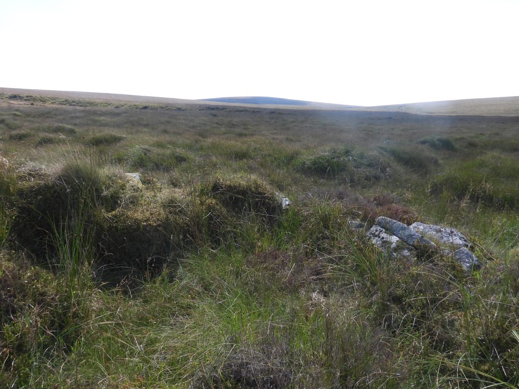
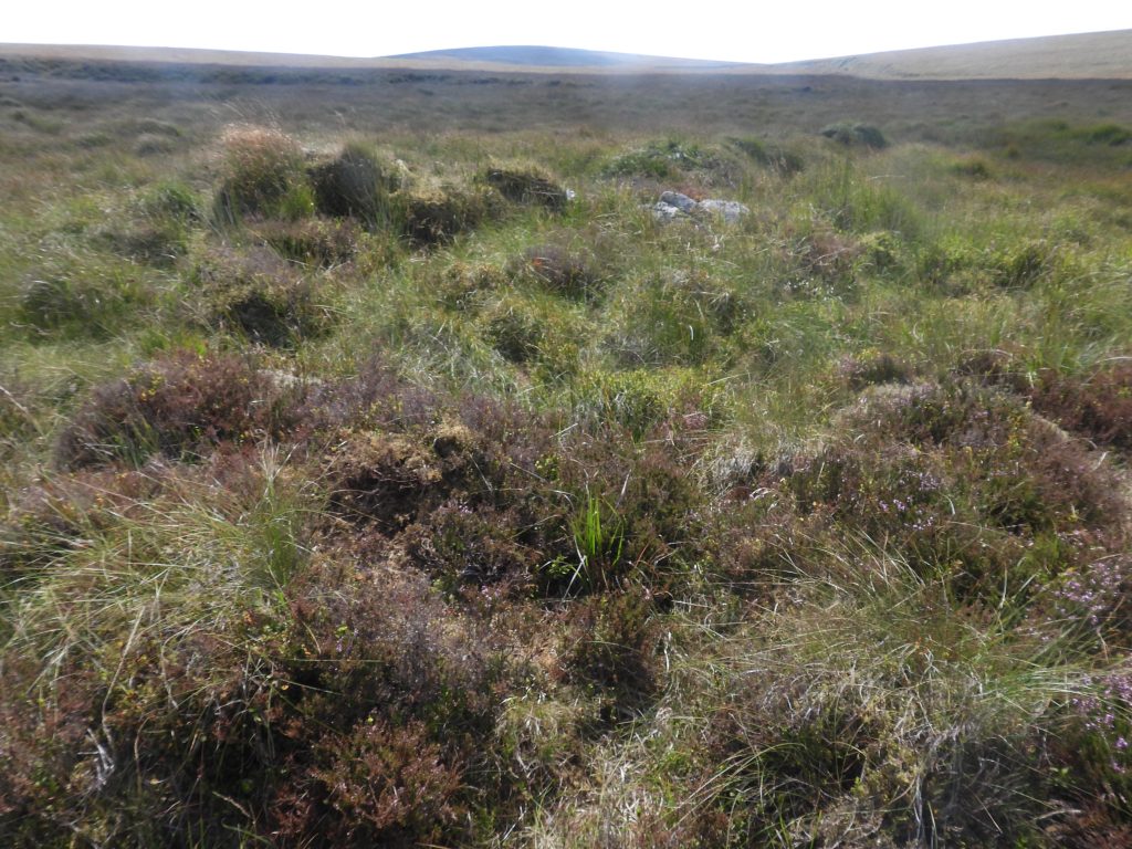
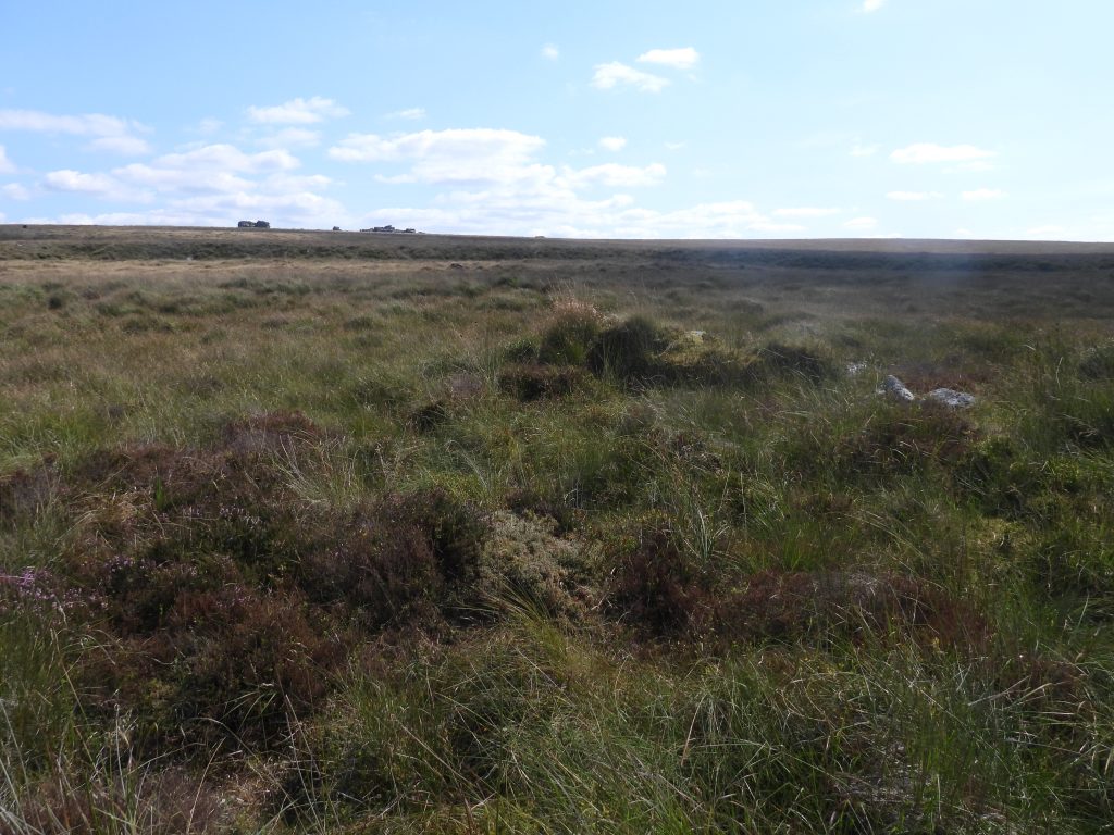
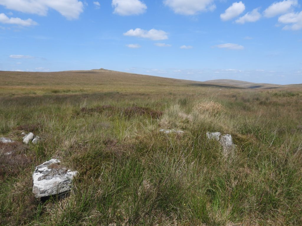
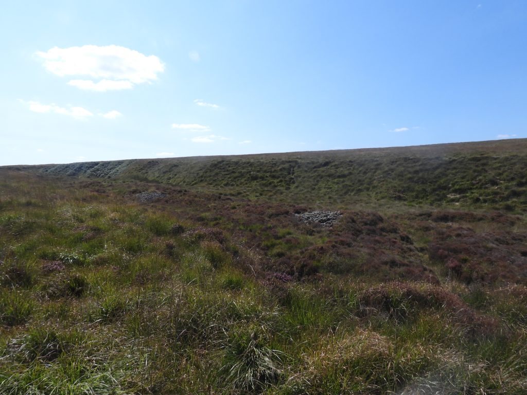
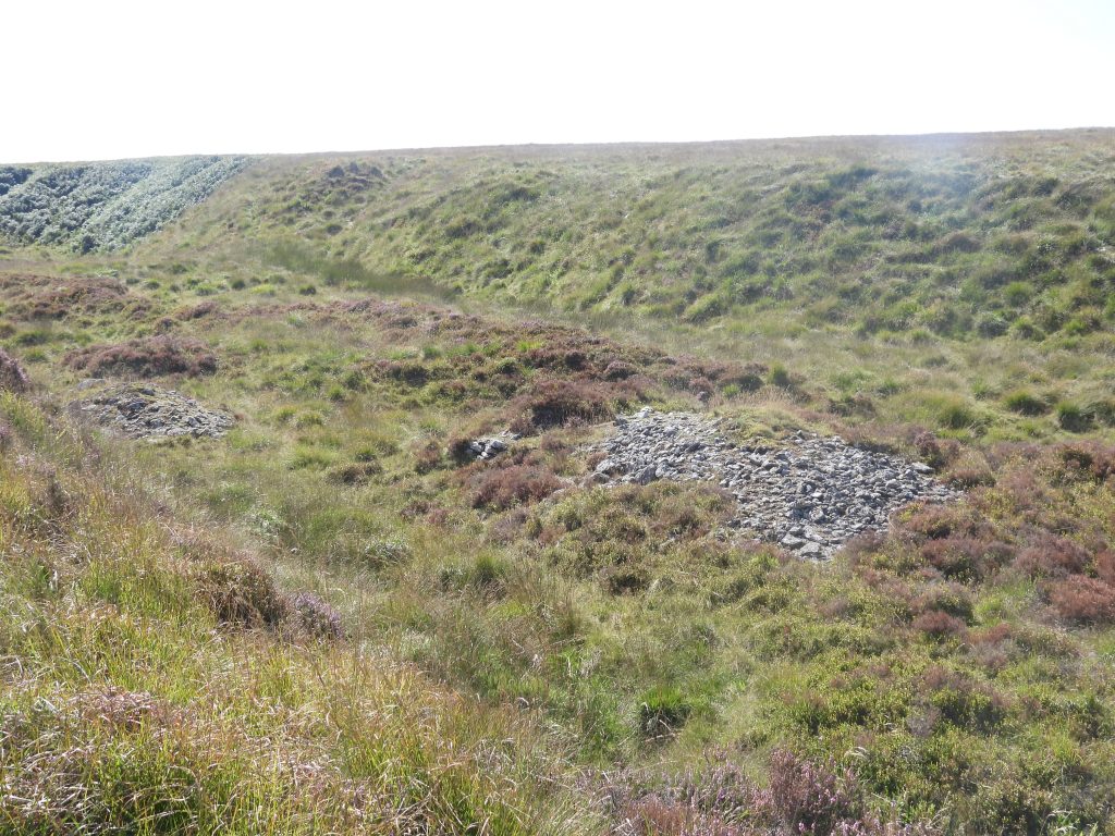
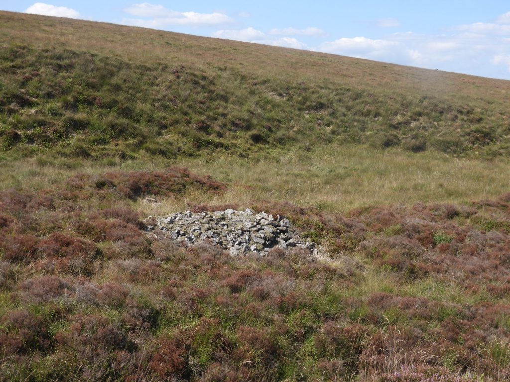
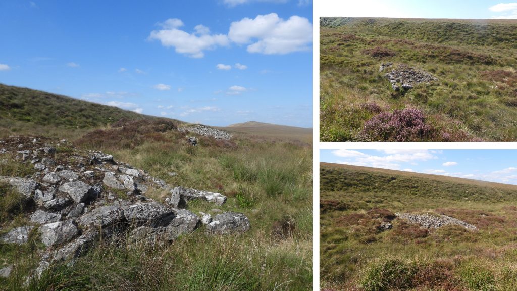
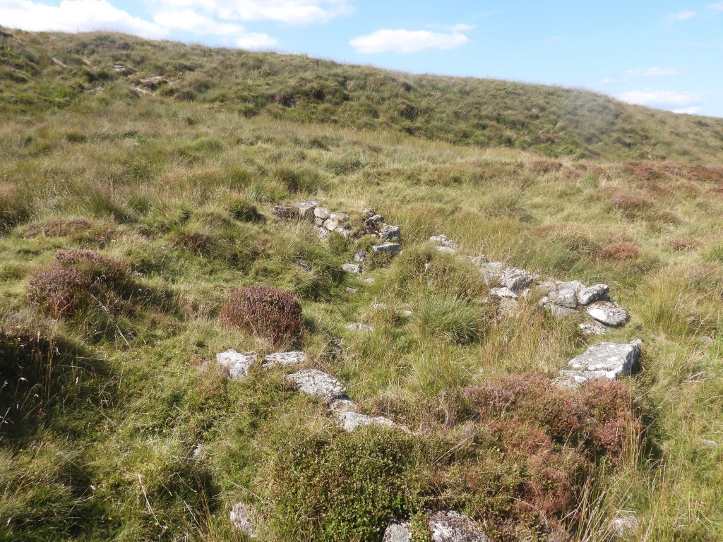
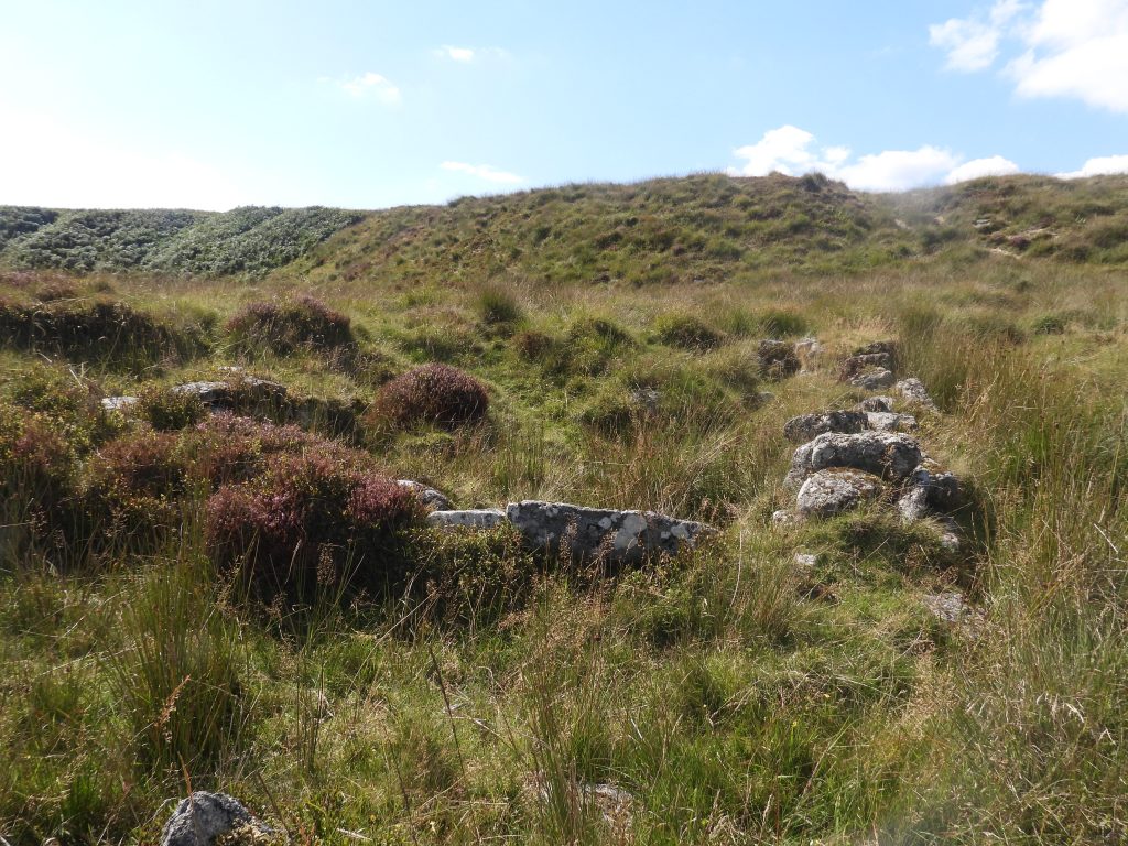
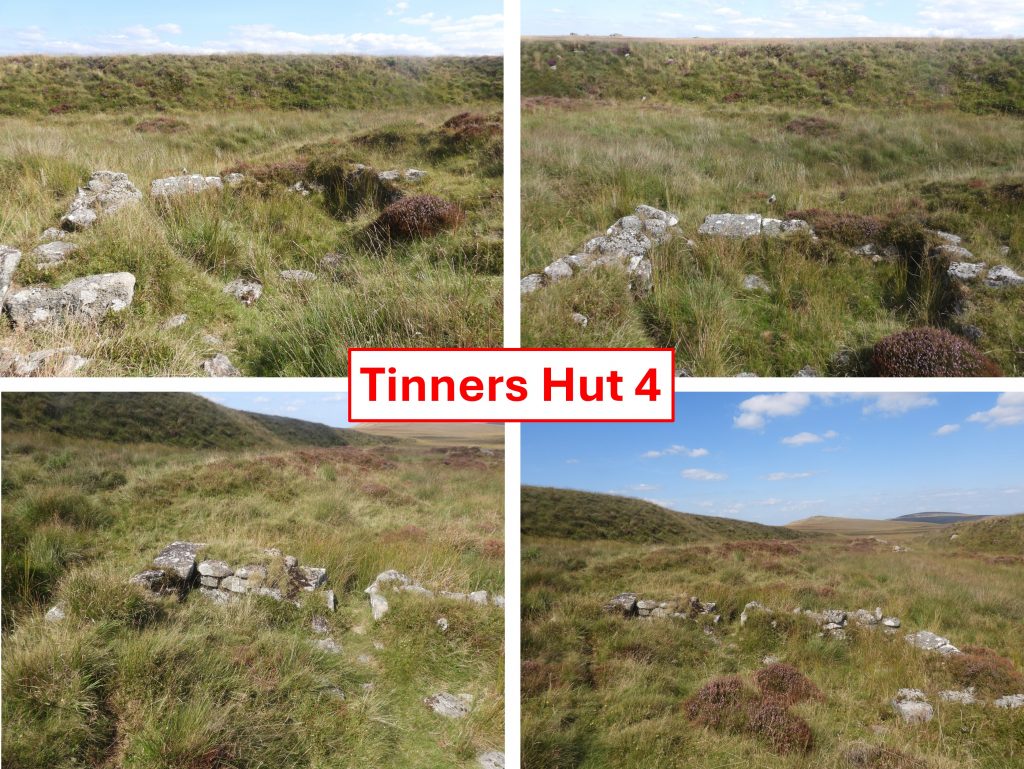
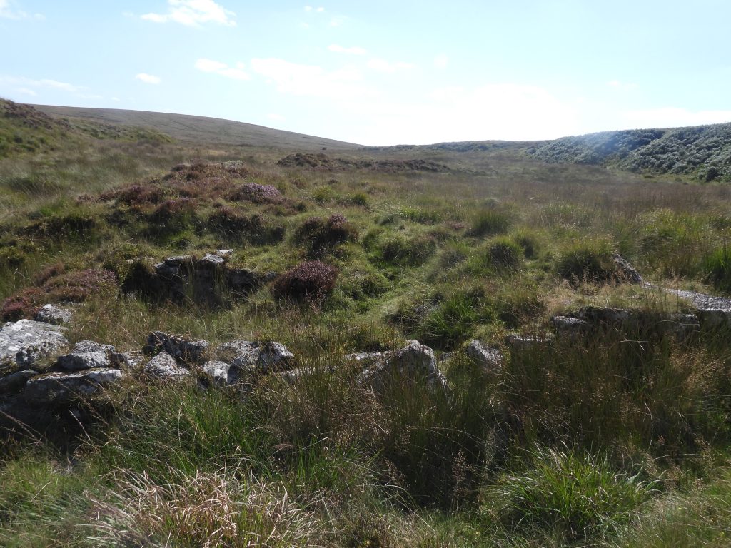
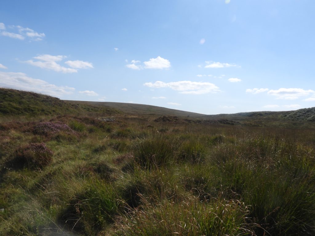
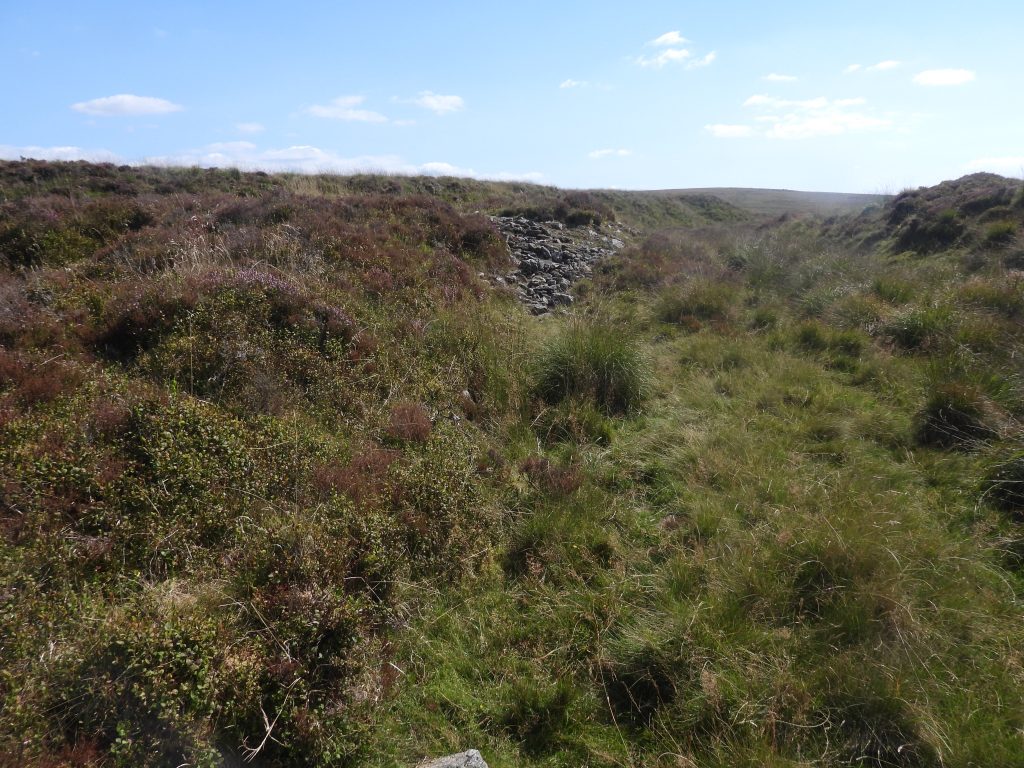
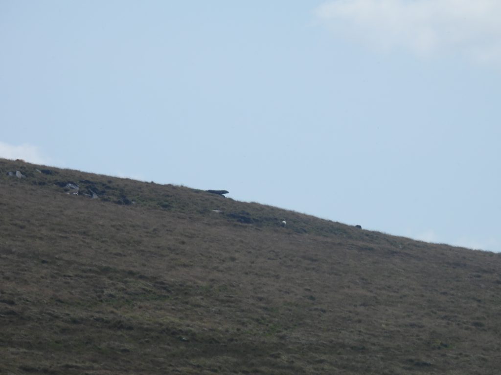
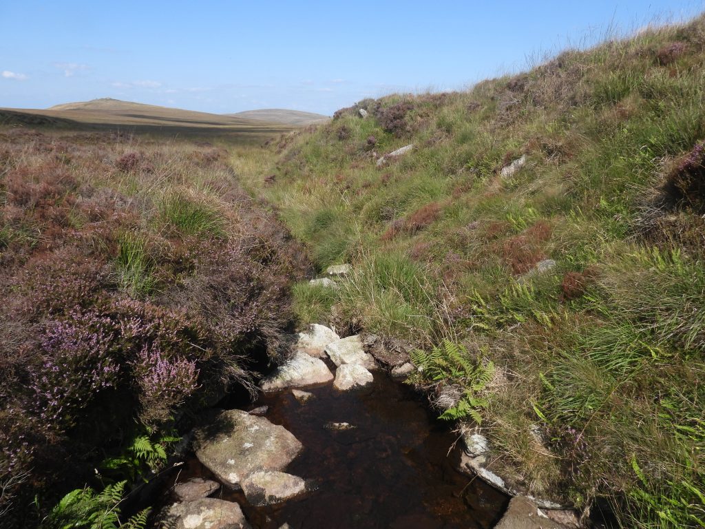
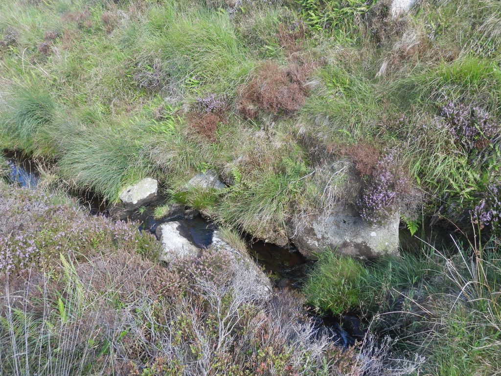
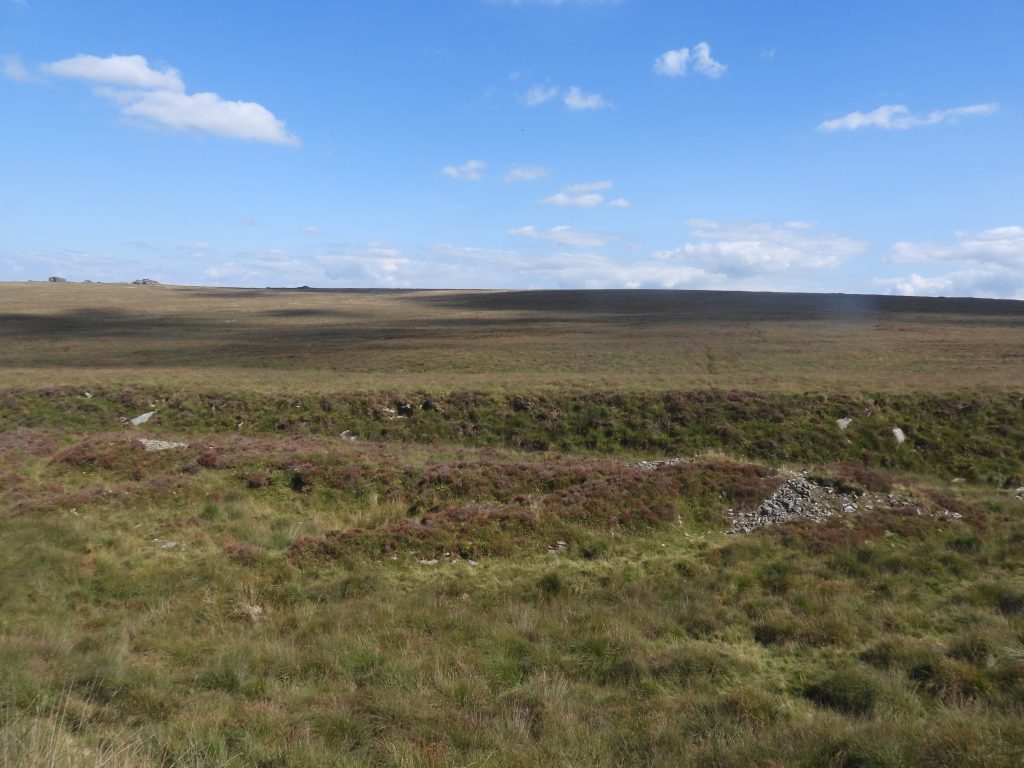
Sketch map of the area covered in this post, which includes four Tinners Huts, a possible Tinners Mill and three unfinished millstones along the length of Steeperton Brook. The shallow valley and the head of the brook is known as Bow Combe and the narrower, more pronounced valley near where the brook enters the River Taw is known as Metheral HoleSteeperton Tor from the south east slopes of Metheral Hill. Steeperton Gorge is on the right (west) and Metheral Hole is on the left (east)Tin workings at the top of Metheral Hole next to Steeperton BrookThis unfinished Millstone (annotated as number 1 on the sketch map) is located about 50m from Steeperton Brook (right / north bank) on a slight shelf above Metheral Hole. The millstone is around 1.3 metres in diameter and 0.25 metres thick. The edge of the Millstone has been roughly dressed and possesses a crenellated appearance, which can be seen in the photograph. It is located at SX62350 89074A short distance to the east, near to Steeperton Brook is a Tinners Hut, which has been annotated as number 1 on the sketch map in this postTinners Hut 1 is very small and lies on top of a tinners waste / spoil mound. This Tinners Hut is not shown on modern OS maps but has been recorded by RCHMETinners Hut 1 was discovered by Dr Tom Greeves and its measurements (as given on Dartmoor Tinworking Research Group website) are 1.5m x 2m. RCHME recorded measurements are 2.2m north to south by 1.7m internally.There is no infill or stone tumble, however, it Tinners Hut 1 is full of reeds. An entrance lies in the eastern wall near the northern cornerTinners Hut 1 is located at SX62334 88999Tinners workings near to Tinners Hut 1Steeperton Brook – a delightfully peaceful locationSteeperton BrookSteeperton Brook looking north west at top of Metheral Hole. Belstone Tors can be seen on the horizonAnother unfinished Millstone (annotated as number 2 on the sketch map) can be found approx 50m from the small ford where the Hound (or Round) Tor to Steeperton Tor track crosses Steeperton Brook. This is where there is a pronounced bend in the brook. Millstone 2 is located at SX62343 88760A third unfinished Millstone (annotated as number 3 on the sketch map) can be found near the left bank of Steeperton Brook. The Millstone block measures 1.55 metres in diameter and is at least 0.5 metres thick. It is not quite circular with one area not quite completing the full circular shape. As can be seen in the photographs, there are rough chisel marks giving it a crenelated appearance.Millstone 3 is located at SX62391 88755View from near Millstone 3 looking north towards Hound Tor (far right), then Little Hound Tor and CosdonSteeperton Brook – a delightful little valley were the sides steepen heading upstream to Chimney BowSteeperton Brook below Chimney BowRocks at Chimney BowChimney Bow is mentioned by Eric Hemery in High Dartmoor (page 826), where he describes the brook (Steeperton) falling “between huge boulders and steep hillsides to its tiny middle reach under Steeperton Hill”Rocks at Chimney Bow with the possible Tinners Mill just visibleThis delightful little valley below Chimney Bow beautifully frames Cosdon, White Hill and Little Hound TorJust above (south west) the rocks at Chimney Bow, Ordnance Survey recorded in 1979 during field work that: on the left bank of Steeperton Brook, there is a Tinners’ Hut and 25m downstream, there are the remains of a probable pre-17th century Blowing-House. Two years later, in 1981, Dr Tom Greeves created a list of ‘Doubtful Devon Tin Mills c1450-c1750’ and the aforementioned Blowing House was No. 49. On 21st century OS maps are annotated ‘Blowing House’ / ‘Tinner’s Hut (remains of)’. Just above Chimney Bow, the Tinner’s Hut (annotated as number 2 in this post) and the possible Blowing House (aka Tinners Mill) as recorded by OS in 1979 can be seen as can a possible short leat (or water channel)The rock tumble below the obvious Tinners Hut doesn’t on first observation look natural, but man created. Could it be the Blowing House (Tinners Mill) as Ordnance Survey recorded some 46 years ago (1979)?Ordnance Survey record states: “The blowing-house, at SX6209 8817, measures internally 9.5m by 3.2m. The interior is filled with rubble so that only the top of the walling is intermittently visible. It appears to have one or two sub divisions and a wheelpit at the west end. No mould – or mortar-stones were seen”. The above annotated picture is the best fit the author could achieve given the OS record. The site is at SX62094 88166 (in line with the OS grid provided). Even as a enthusiastic amateur, the author found it took some imagination to believe this was once a Blowing House.Other pictures of the Blowing House (Tinners Mill). With the lack of finding any mould or mortar stone or even some tin slag it is difficult to confirm the true status of this rock tumble. The author would welcome any comments from those who visit the area as to what their interpretation might be. In spite of the OS assertions as to this being a possible Tin Mill, the RCHME state that it is merely “…a random, natural deposit of stone and is very unlikely to be a structure of any kind”. Dr Tom Greeves appears to record it as being doubtful ‘to boot’Ordnance Survey record states: “At this point Steeperton Brook is fast flowing and only a short leat would be required to provide power. It can be traced but for about 50m, as a clearly defined ditch 0.7m to 1.0m deep, extending from the (Tinners) hut, past the blowing house, to its return to the brook”. This feature is certainly very visibleBetween the possible Tinners Mill and the Tinners Hut, there are two hollows, which conceivably might have been man-made. To the untrained eye, might these be Buddles? The author searched for exit points from the hollows but nothing obvious was foundThe two (possible) hollows looking north across to the (possible) Tinners Mill. The top of Chimney Bow can be seen beyond. The hollows are located at SX62090 88164Tinner Hut 2 is one of the best preserved structures of this age on Dartmoor. It is very robustly built and and stands up to 1.6m. Of course, it is possible that the structure has at some time undertaken some restoration (either official or unofficial). It is located at SX62069 88163Butler measured the structure as being 3.3 metres by 2.2 metres. The walls are roughly coursed and up to 0.8m thickThis niche or cupboard recess is located centrally in the south-west wall, 0.7m above the ground. It has been recorded as being 0.4m by 0.4m by 0.4m deep The western wall of Tinners Hut 2 is formed against the bank includes two large earthfast boulders of 1.8m by 0.8m high and 1.5m high – the author suspects, it was because of these boulders that the structure was built here.A winters view of Tinners Hut 2There is considerable evidence of tin streaming, just above Bow Combe Ford. It lies over an area of some 2 hectares, immediately upstream of the two buildings – Tinners Hut and Tinners MillTinners workings upstream from Bow Combe FordA few hundred metres to the south of Bow Combe Ford is another Tinners Hut (annotated number 3 on the sketch map in this post)When visited by Brian Le Messurier on 31st May 1975, Tinners Hut 3 was described being a “Ruined hut much overgrown with much water in the hut. Rushes. Walls covered with heather and worts”. 50 years on to 2025, this description is still very valid – even in summerButler recorded Tinners Hut 3 as being 4.8 metres by 2.7 metres. The isolation of the area is evident with this photograph with Wild Tor being seen on the horizon.The area of tin streamworking around Tinners Hut 3 has now become overwhelmed by bog. It is located at SX61918 87966At the upper reaches of Steeperton Brook (Bow Combe), there are some fabulous well preserved linear spoil heaps lying at an oblique angle to the present course of the brook. In order to get to this area, the author suggests approaching from Steeperton Road (Military Track) on Ockside Hill to the west. If coming south from Tinners Hut 3 from near Bow Combe Ford, although only around 600-700m it is very challenging ground with large areas of molinia grassTinners streamworkings within a steep-sided gully in Bow CombeThere are quite a few spoil tips here surrounded by heatherThere are some revetments here supporting the spoil heaps and remain largely intact Tinners Hut within the streamworks (annotated as number 4 on the sketch map in this post). Butler records the hut as being “5 metres by 3 metres with only a few courses of the wall visible”The hut is built into a depression created by adjoining tinners’ mounds at SX61595 87310. Tinners Hut 4 is a well built granite structure with walls remaining being 0.7m wide and 0.4m high. Of interest is a photograph (not seen by the author) made by Brian Le Messurier regarding the opening in the north wall, which is 0.5 metres wide. In the photograph of the opening there is a stone covering the top and he (Le Messurier) claims it was a cupboard recess. The stone is no longer in place and has two jambs standing to a height of 0.4 metres, which might suggest it might have been an entrance. There is a distinct lack of rock tumble within or nearby the structure which maybe suggests the original height of the walls were little more than they are today. Very unusual to have such a large building with very low walls.Bow Combe streamworks looking south towards Hangingstone HillHeather and streamworks at upper Bow CombeZoomed in view of the ‘Hangingstone’ from upper Bow CombeBrian Le Messurier recorded in 1975 that there is a ruined Clapper Bridge not far downstream from the Tinners Hut. There are a few possibilities as to this location. The above picture shows one possibilityAnother possible location of Clapper Bridge. RCHME state it is “120 metres north-north-east of the hut at SX 6165 8740 a single-slab clapper bridge straddles the stream”. The photograph was taken at SX61635 87388View of upper Bow Combe and the tinstreaming from the west side of the valley. Wild Tor can be seen on the horizonUpper Bow Combe tinstreaming looking towards Hangingstone Hill