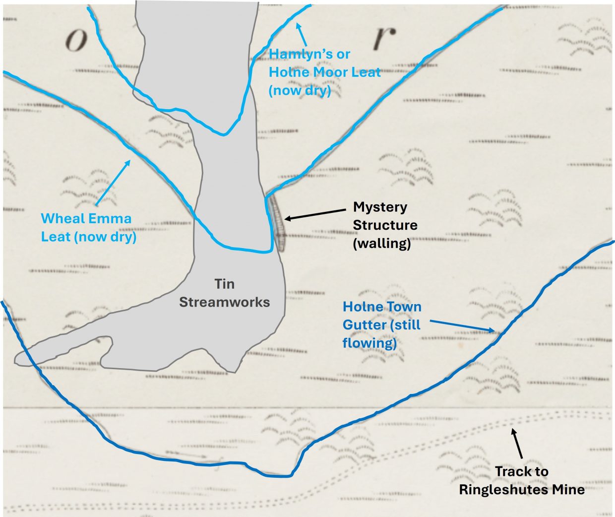
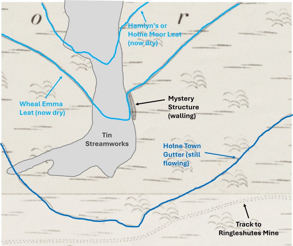
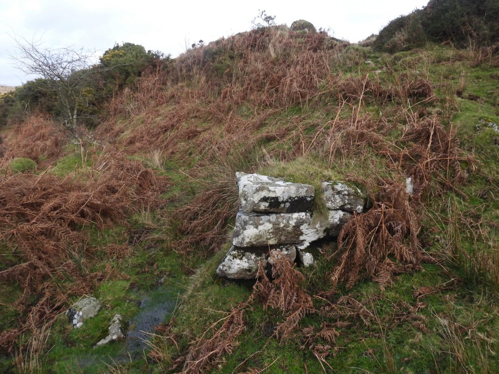
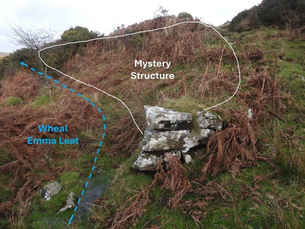
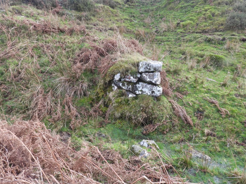
This mystery structure was found during as walk with the Dartmoor Tinworking Research Group (DTRG) walk to Ringleshutes Mine from the eastern car park at Venford reservoir. It is located adjacent to and above some medieval tin streamworks where the (dry) Wheal Emma leat crosses a small valley.
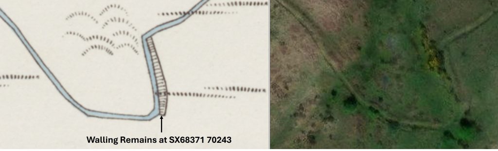
Looking at late 19th century maps (circa 1870/80) the structure was once an oblong shape, orientated more or less north / south. The unusual thing about it is that it is built into steep banking and looks like it ‘straightened up’ the leat. It might have been just for re-enforcing the bank or did it have some other function ?
Total Page Visits: 456 - Today Page Visits: 1