A collection of walks, discoveries, insights and pictures of exploring Dartmoor National Park
August 21, 2025
Brim Brook, West Okement and Vergyland Combe Tinners’ Workings and Huts
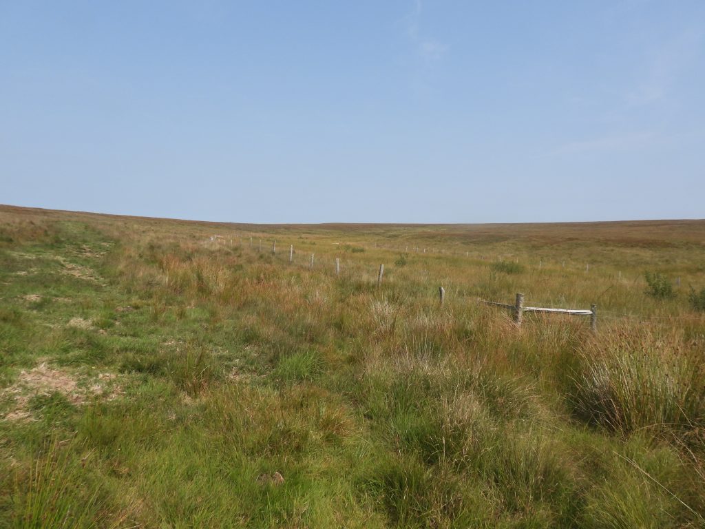
The alluvial tin streamworks around Brim Brook, West Okement and Vergyland Combe water courses in the isolated heart of the Okehampton military range are testament to the tenacity and ingenuity of the ancient tinners. In a time, several centuries before the relatively modern 20th century military tracks access to these areas must have been extremely difficult and challenging.
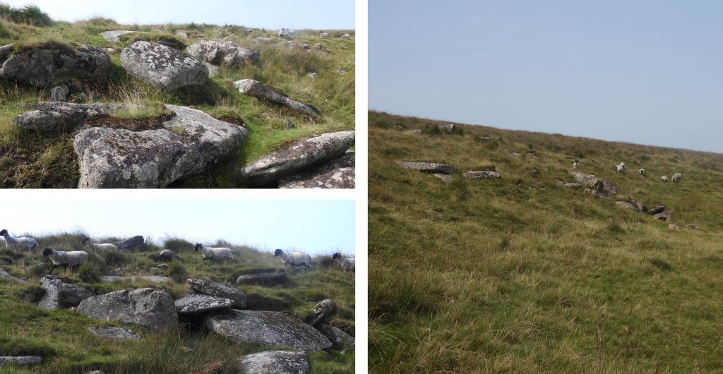
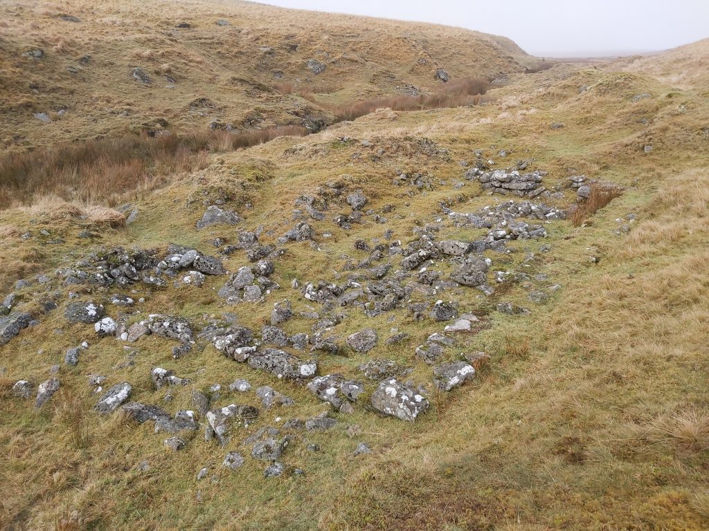
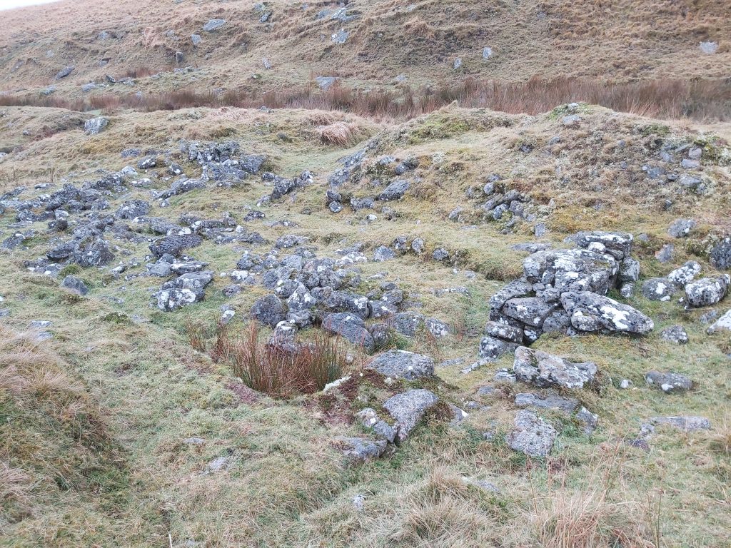
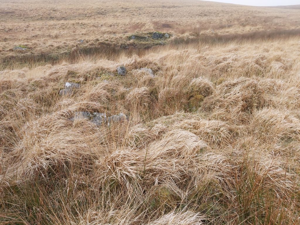
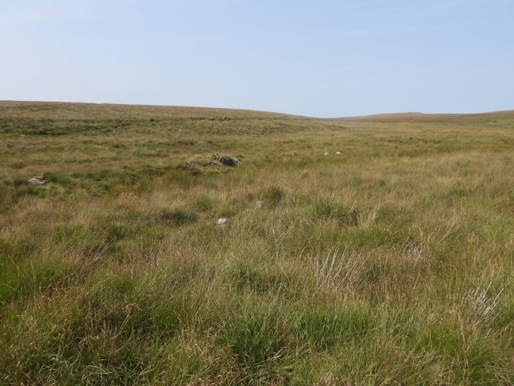
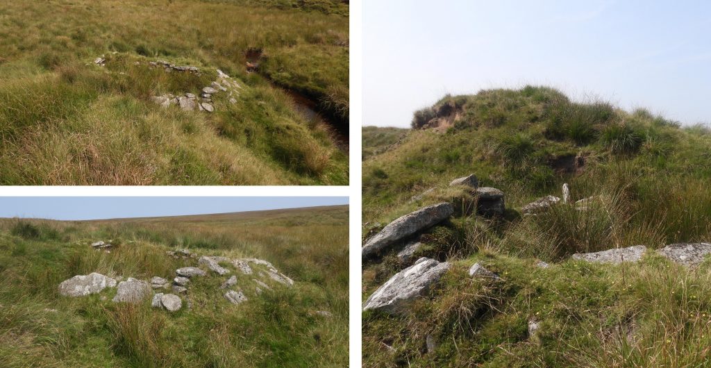
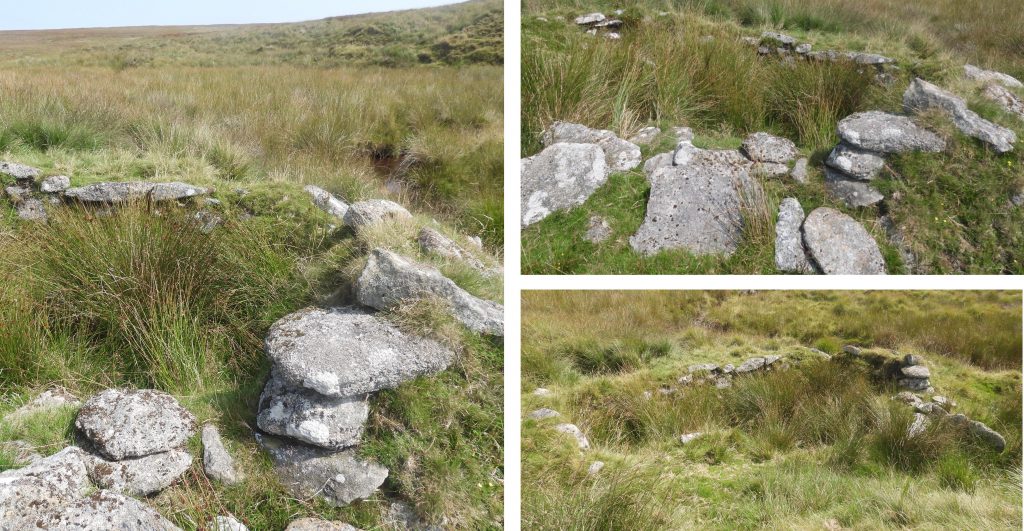
In spite of the geographical isolation, the streamworks, especially those adjacent to the Brim Brook are well worth the effort to visit. Dr Tom Greeves records that the Brim Brook streamworks have survived very well and contain important information concerning the developing technology associated with the exploitation of valley bottom tin deposits. Along the 800-900m of Brim Brook there are some very good examples of parallel ‘retained dump works’ (Greeves) and four tinners’ buildings (labelled 1-4 on the sketch map associated with this post), one of which may have been part of a mine called Wheal Providence from circa 1836. The total area of streamworking in the area is estimated to be around 25 hectares with half of that being in along Brim Brook.
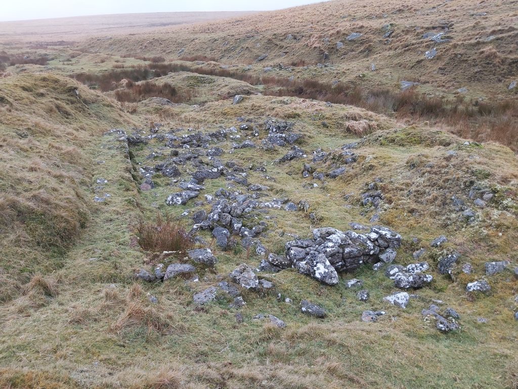
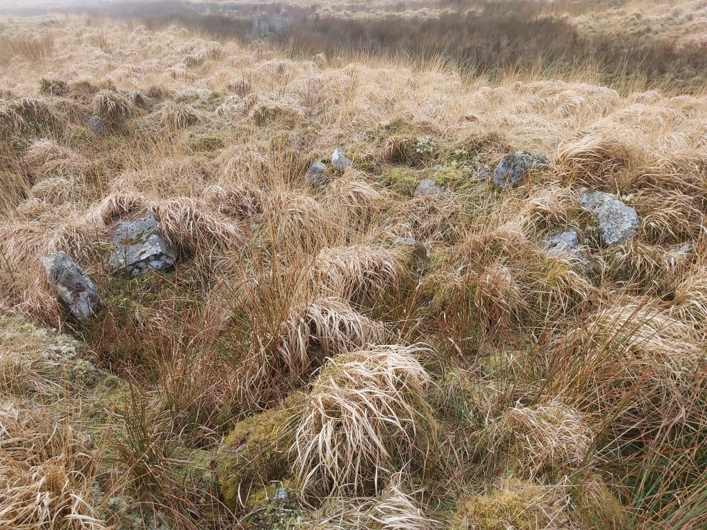
Along the West Okement river there are further streamworks between Brim Brook and Vergyland Combe which include two structures, one of which is a very well-built and well-preserved tinners’ hut (labelled as 5 on the sketch map). The second ‘structure’ (shown as a red icon on the sketch map), was first recorded as a Tinners’ Hut by Jeremy Butler in his Atlas of Antiquities – Volume Two, The North (Map 42) and comprises a pit dug into the western end of a tinners’ mound. There is a pile of loose granite stones here which creates the illusion of a crude structure and hence is referred to in this post as an ‘unlikely’ tinners’ hut which Royal Commission for the Historical Monuments of England (RCHME) record also as a “doubtful tinner’s hut”.
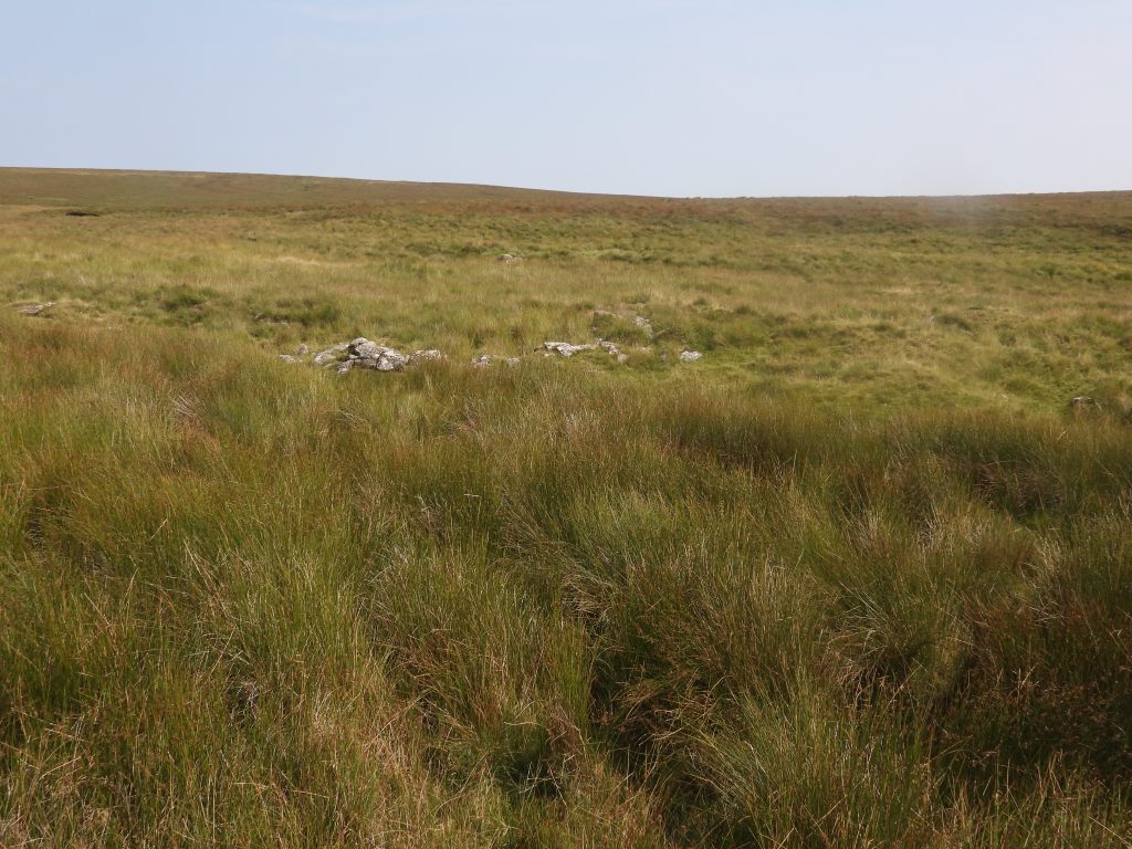
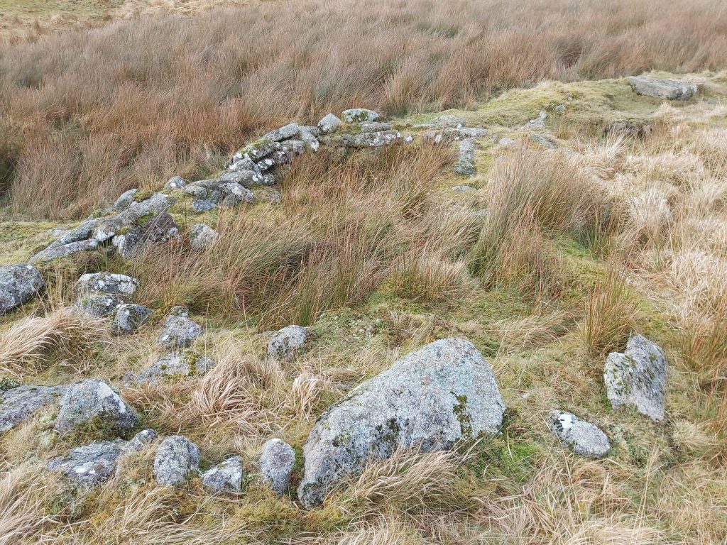
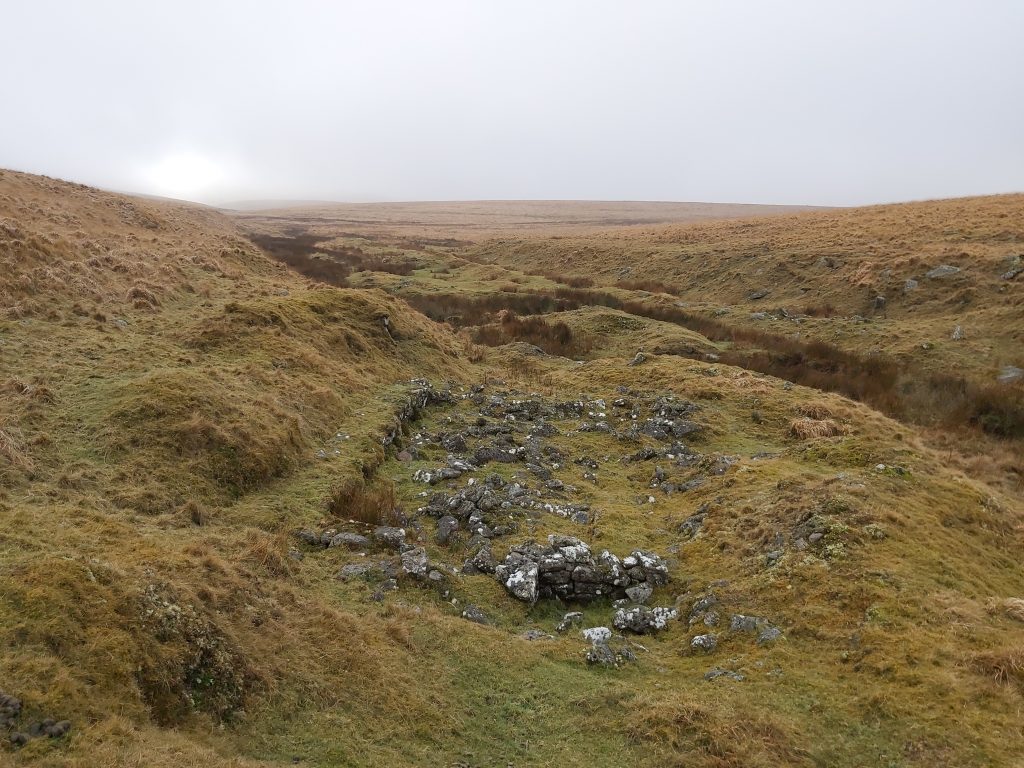
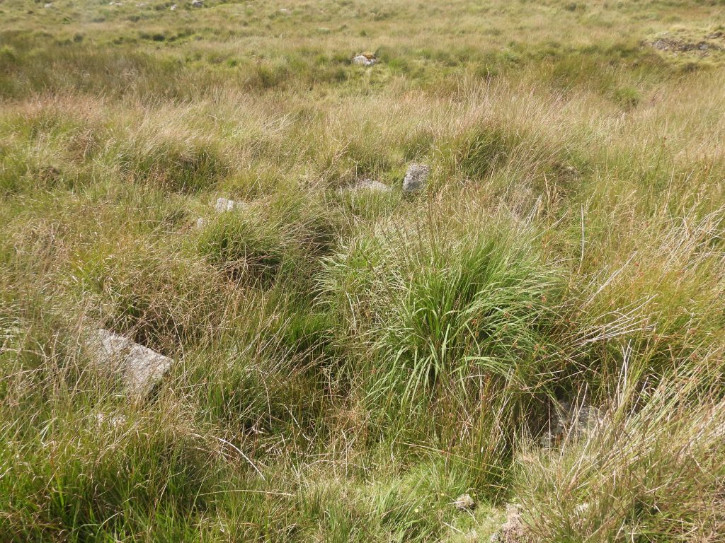
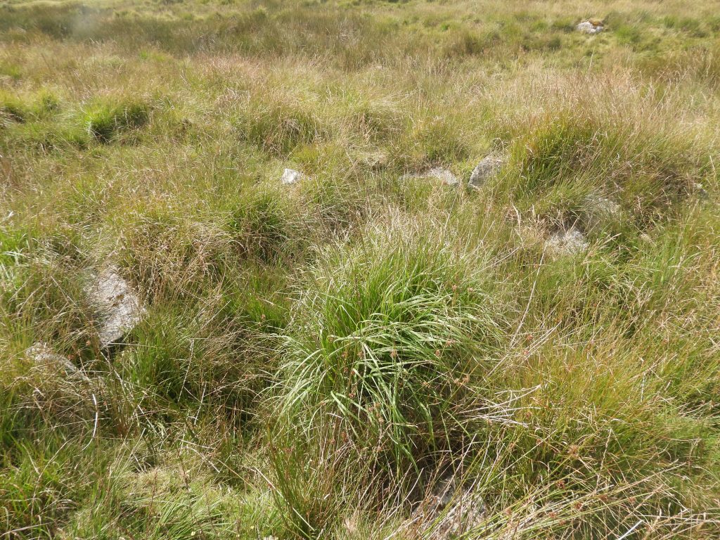
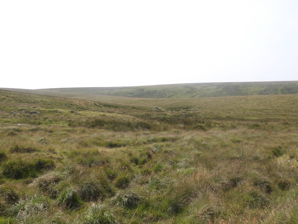
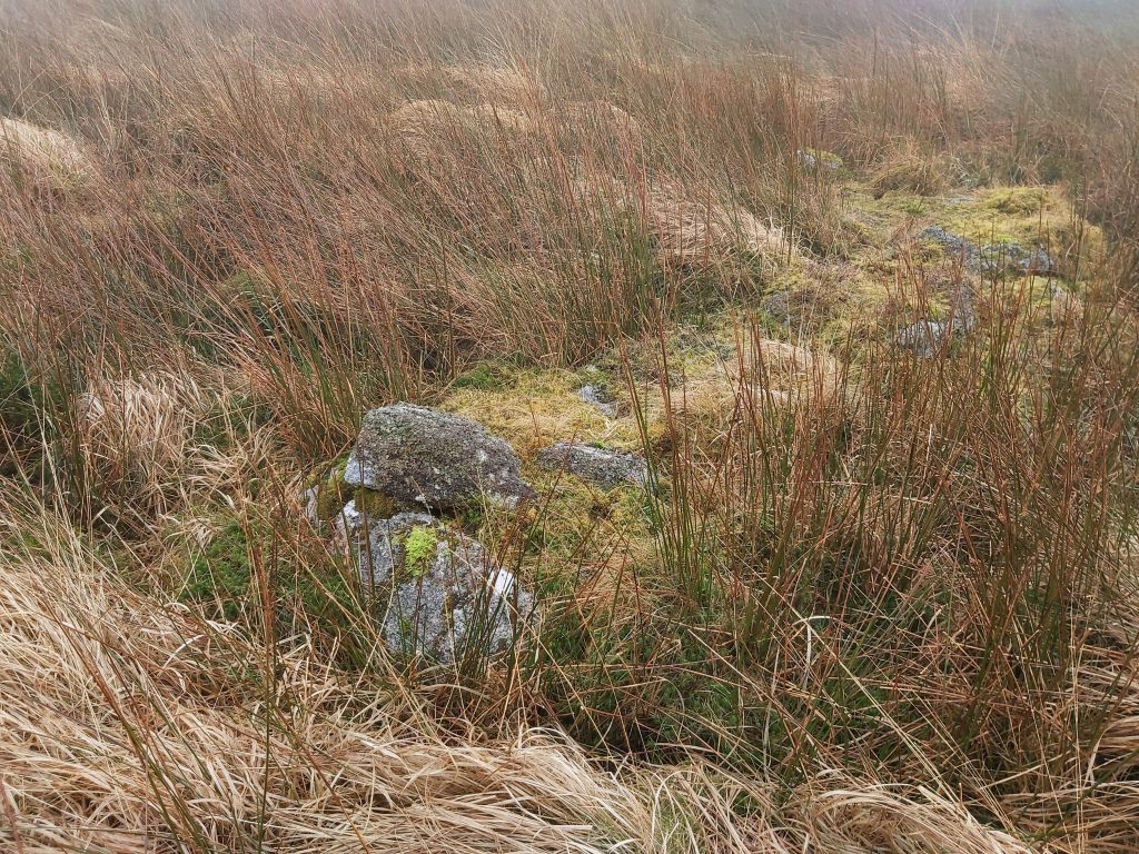
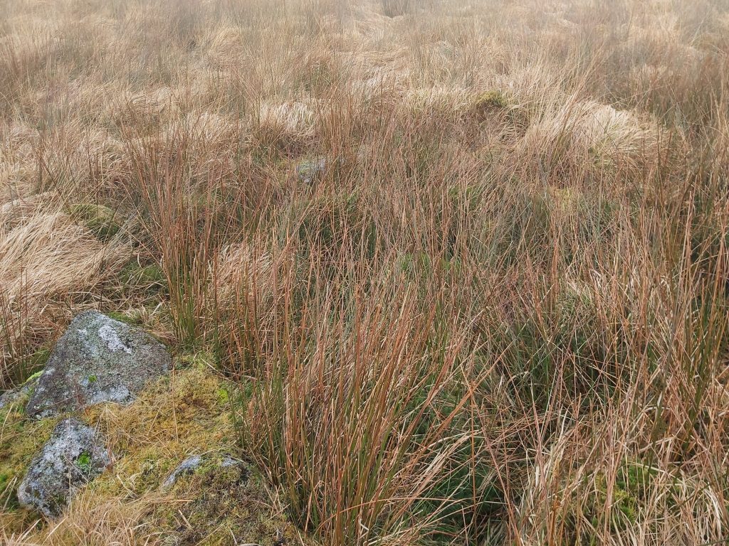
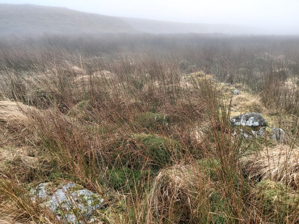
The terrain through Vergyland is very challenging but the reward is seeing further streamworks in its upper reaches. Also of note, in Vergyland Combe is another structure which although in a ruinous condition in a boggy area, bears all the hallmarks of a tinners’ hut and is labelled as a ‘probable’ tinners’ hut on the sketch map. If visiting the Combe, the author recommends approaching from the south (ie from West Okement River) as all other directions requires hiking through the dreaded molinia grass.
As well as the tinners workings and huts around Brim Brook, West Ockment and Vergyland Combe being covered here, this post also includes artefacts around Okement Hill, Huggaton Cut, Ockerton Court and the upper western slopes of the River Taw. This area includes a disused Target Butt, an old Peat Cutters hut and a old military observation post
Bibliography
Brian Le Messurier (1979) – Post-Prehistoric Structures of Central North Dartmoor. A Field Survey
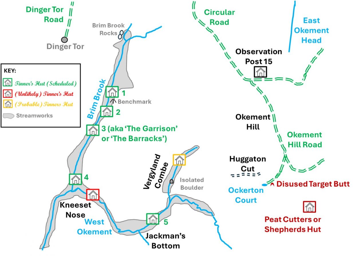
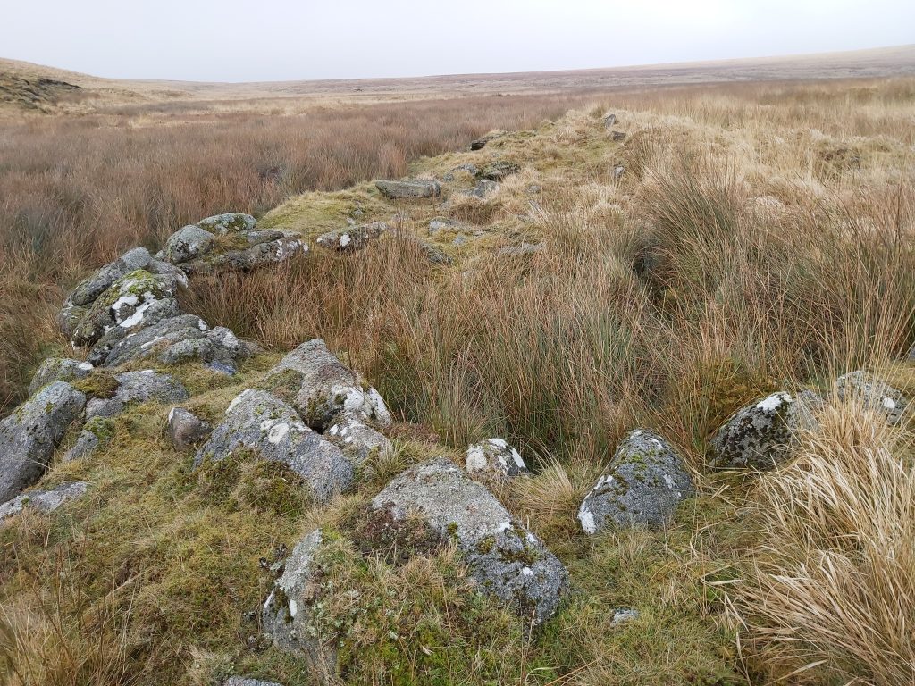
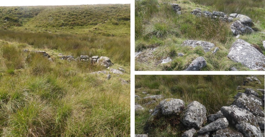
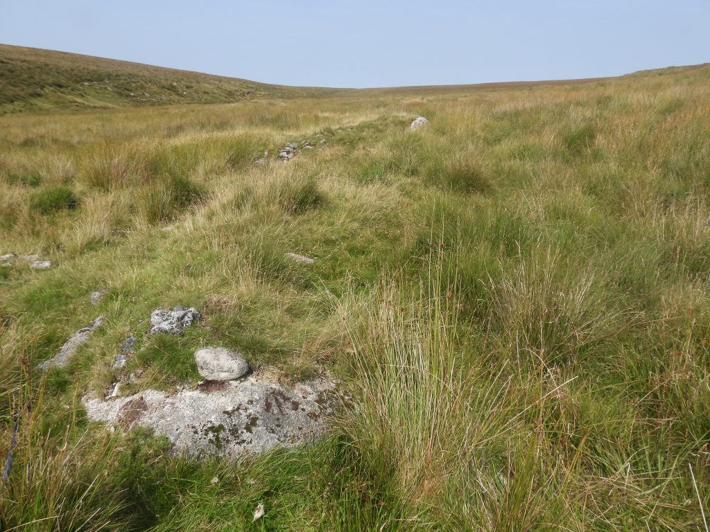
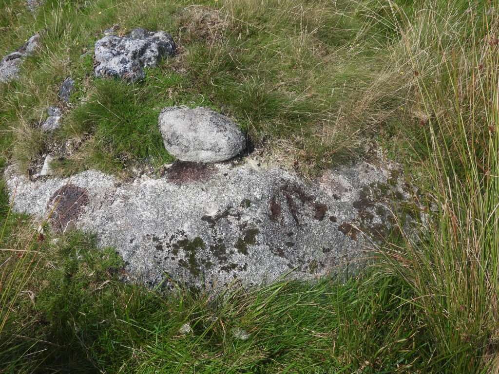
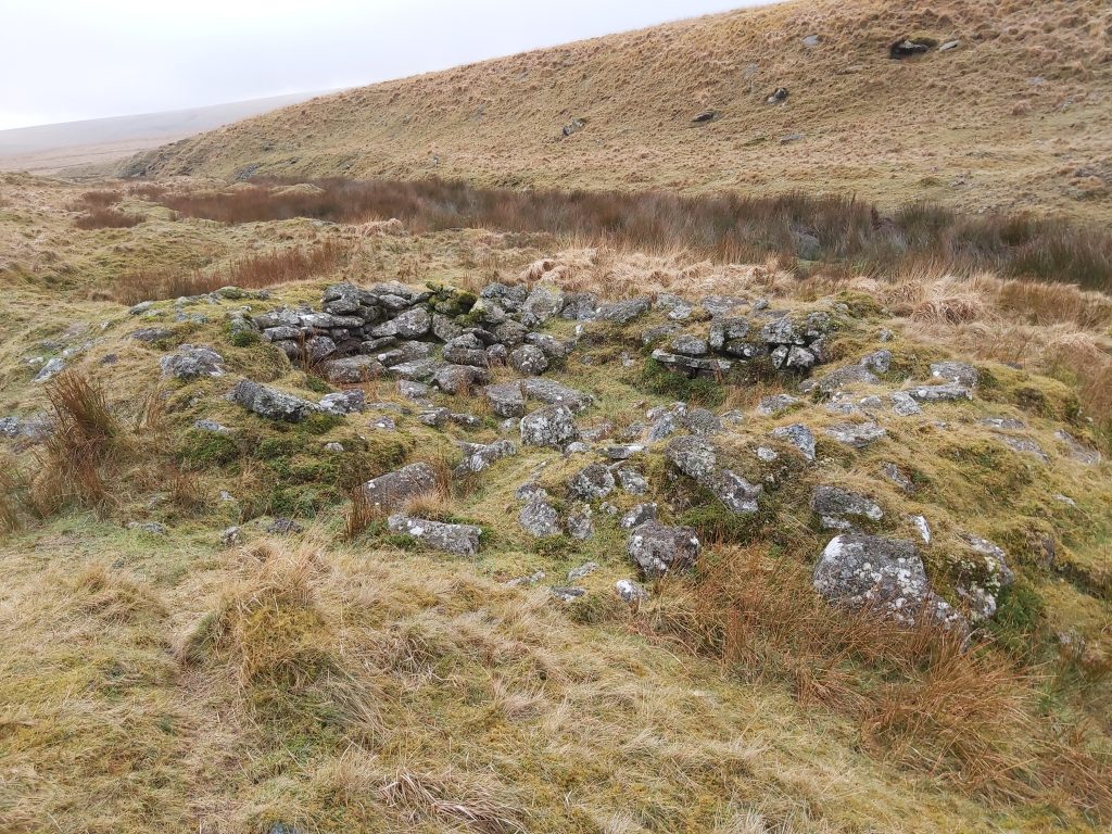
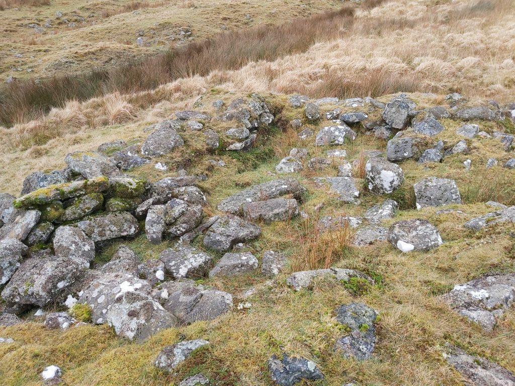
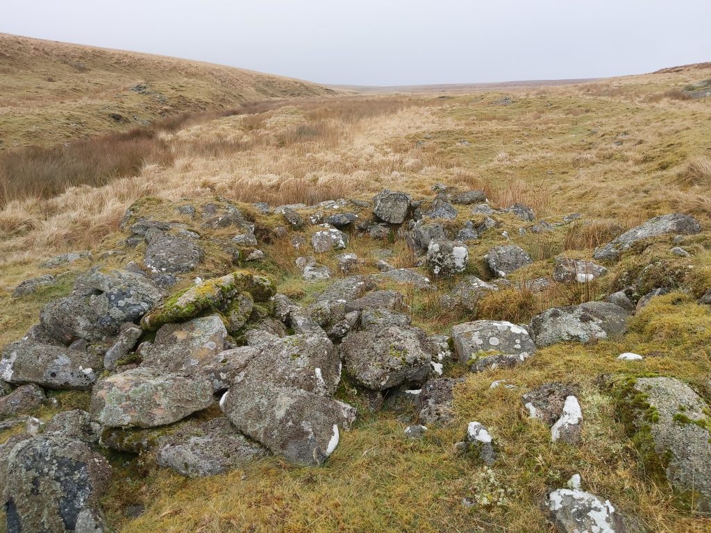
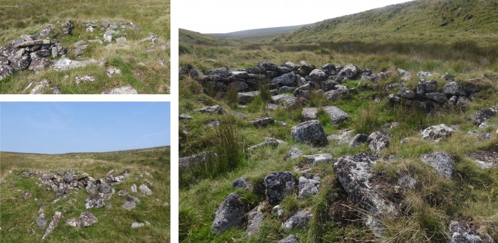
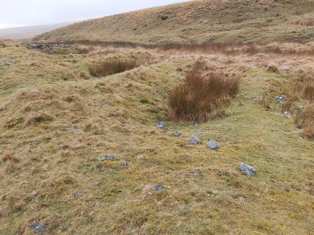
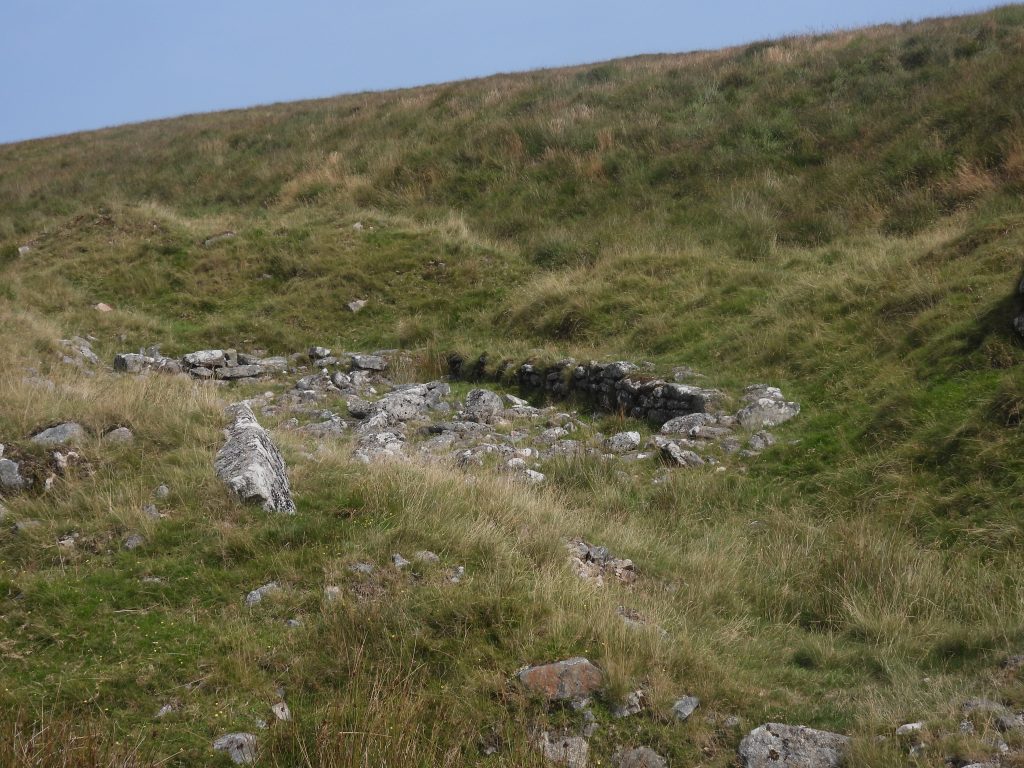
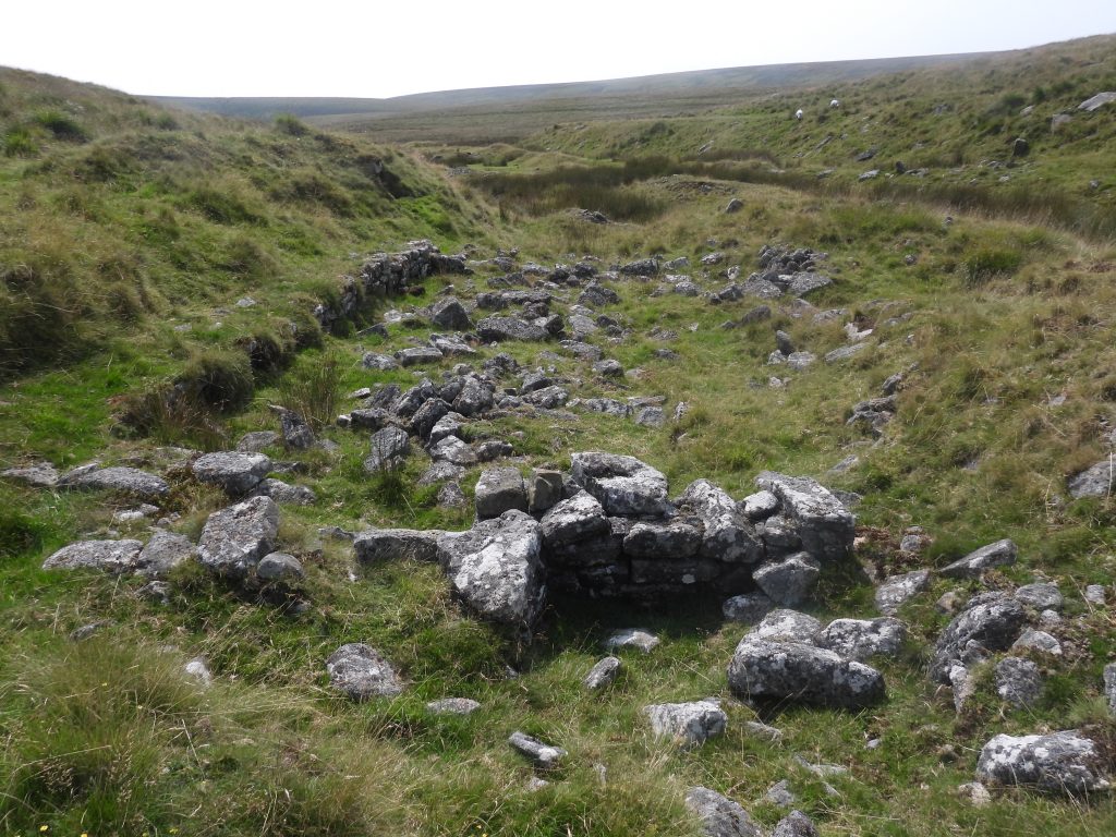
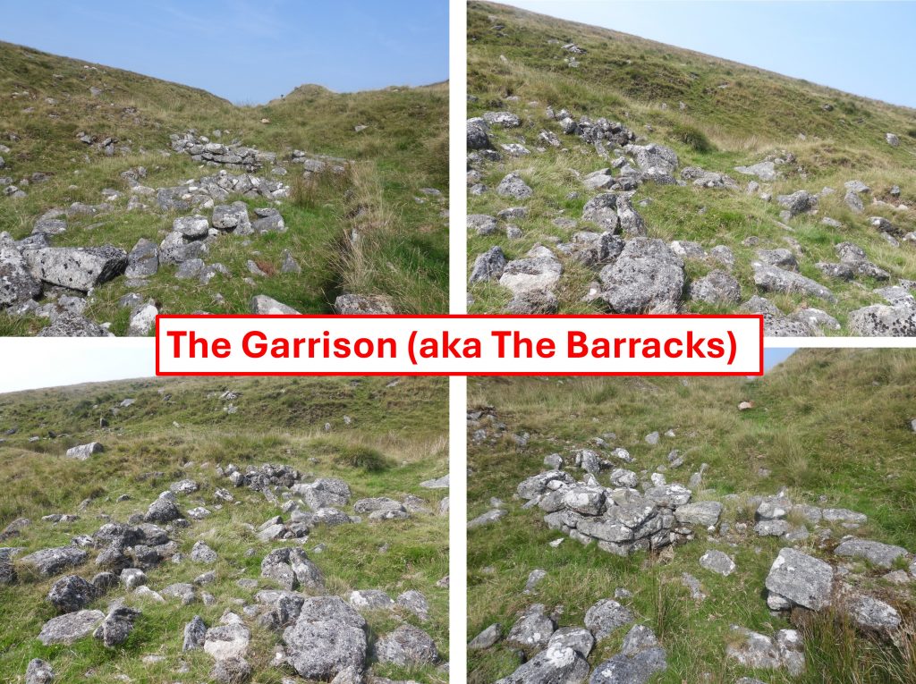
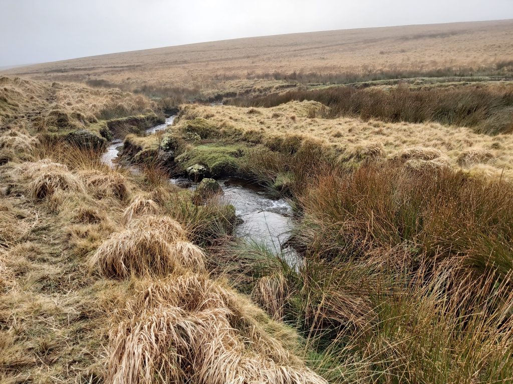
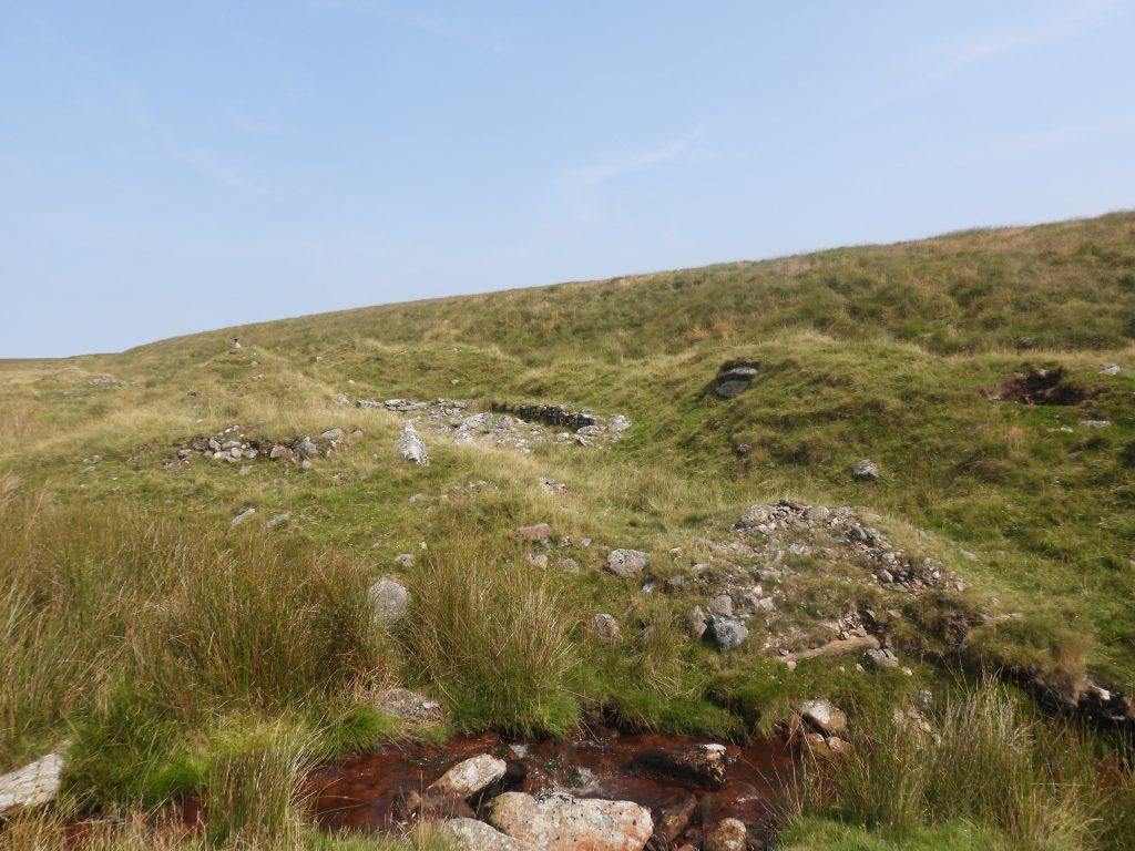
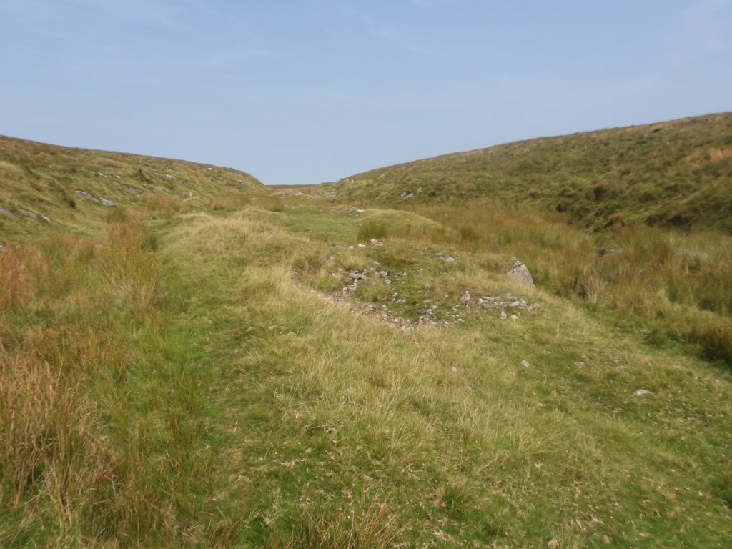
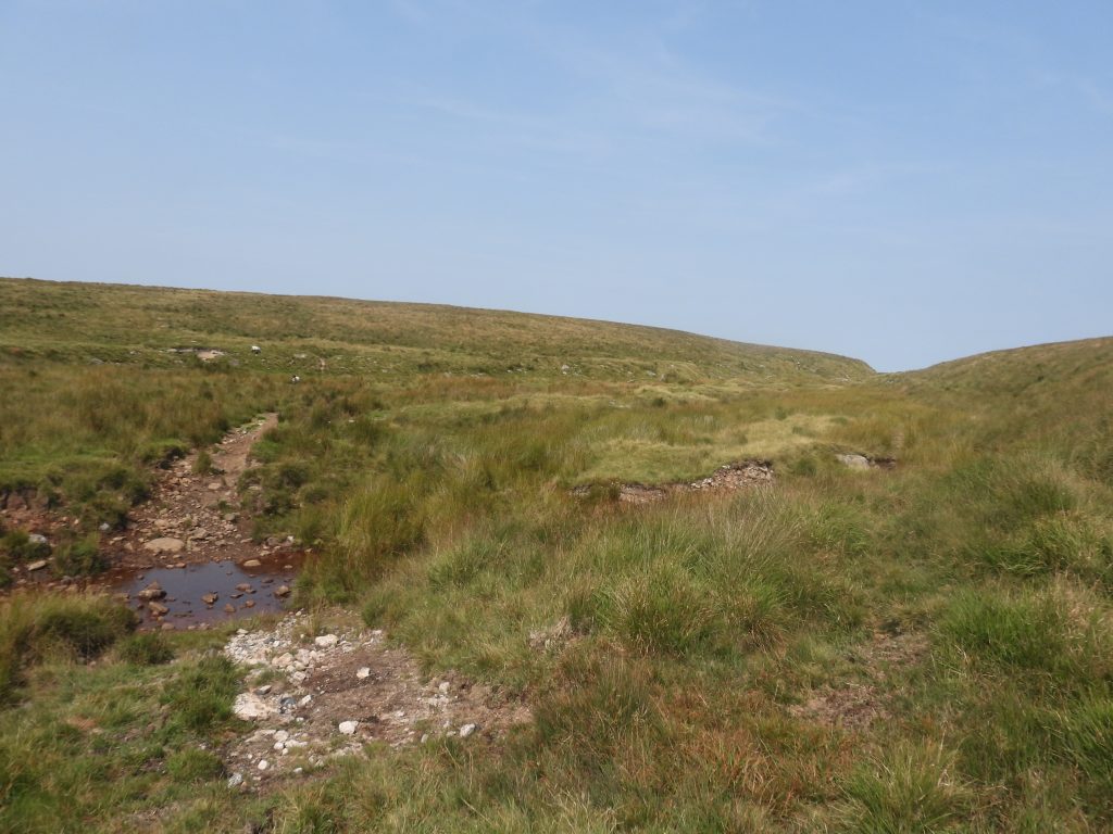
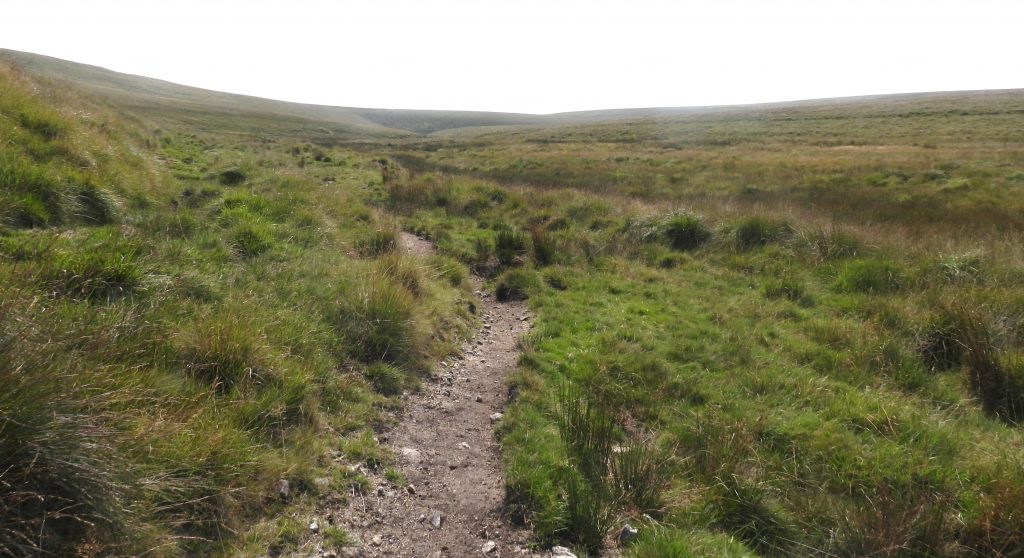
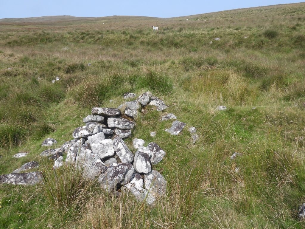
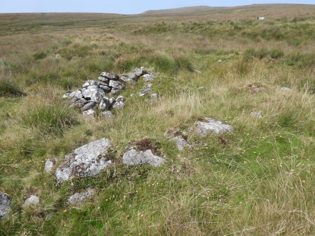
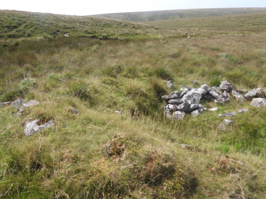
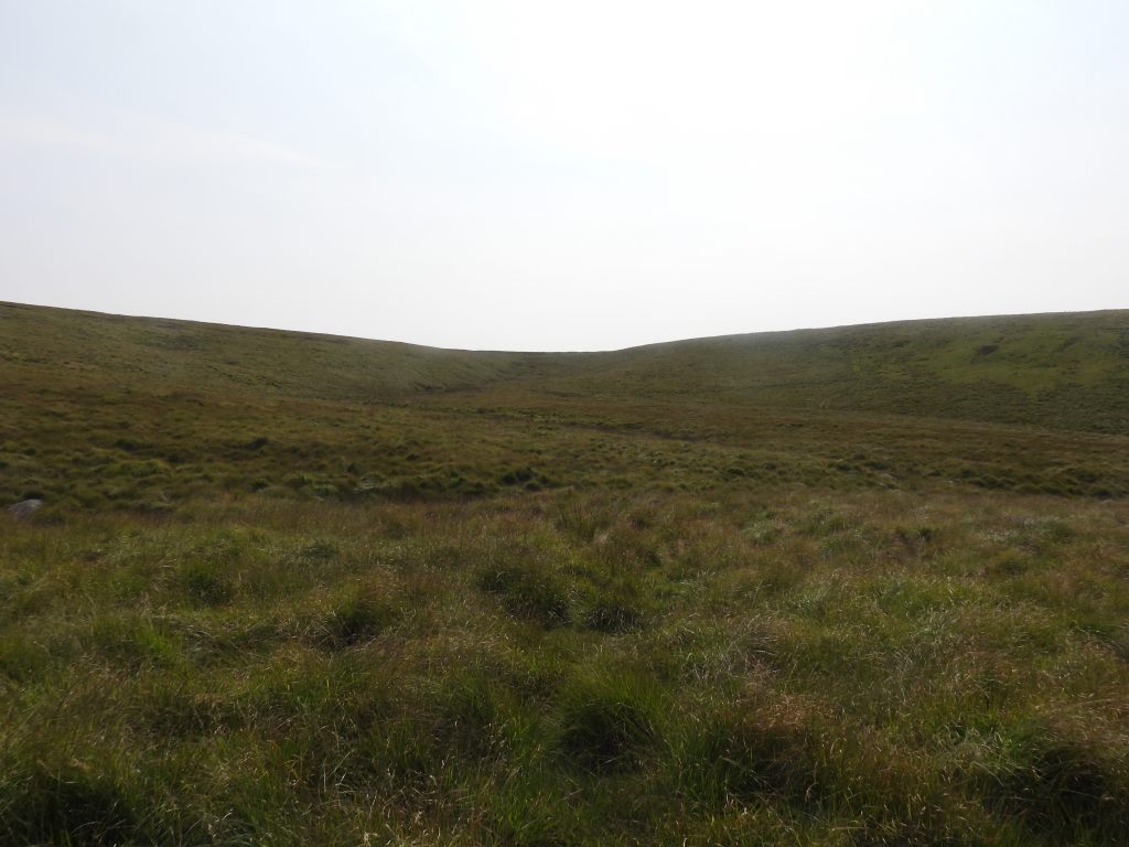
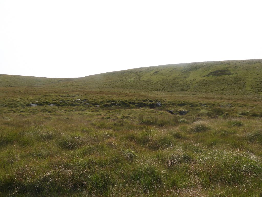
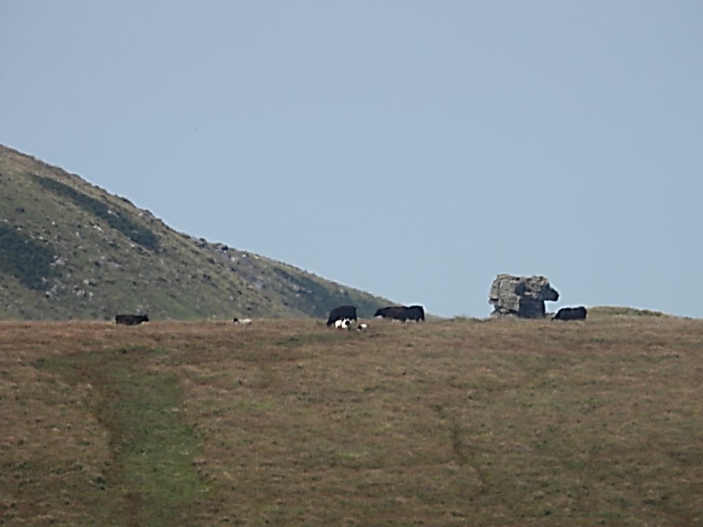
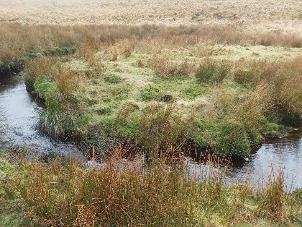
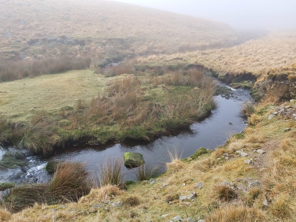
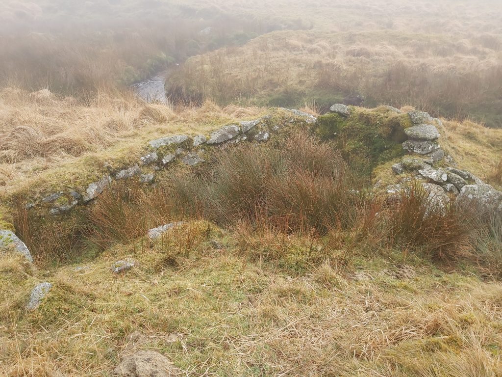
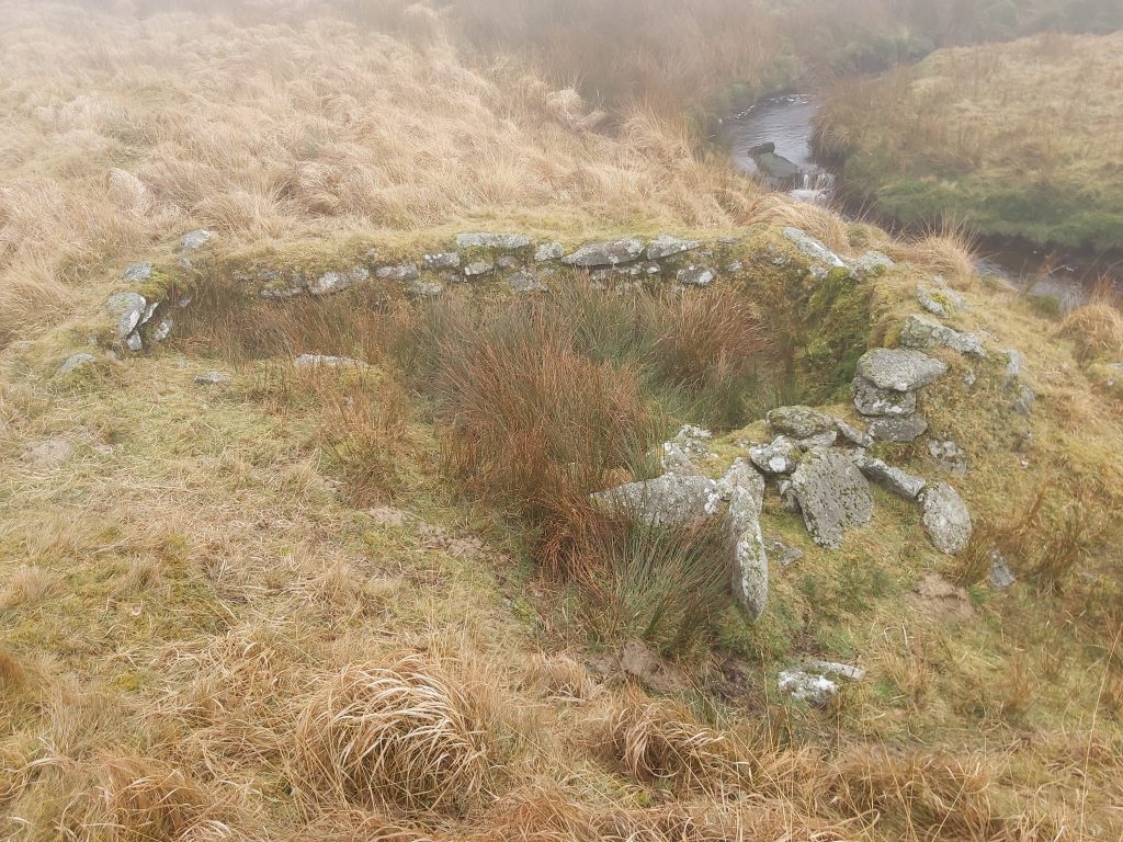
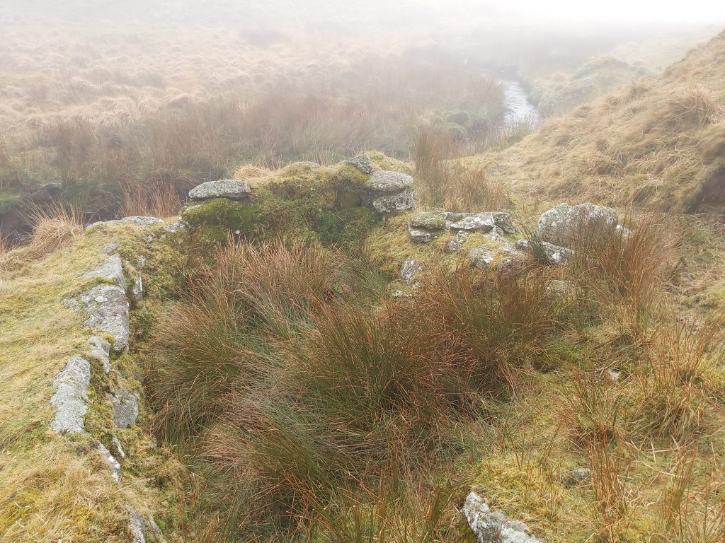
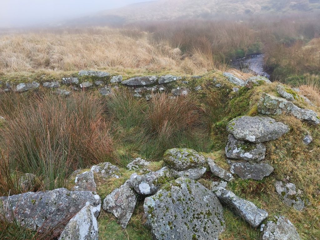
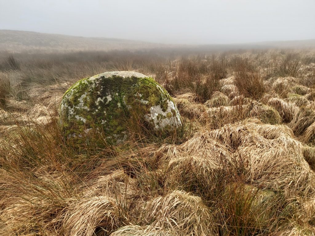
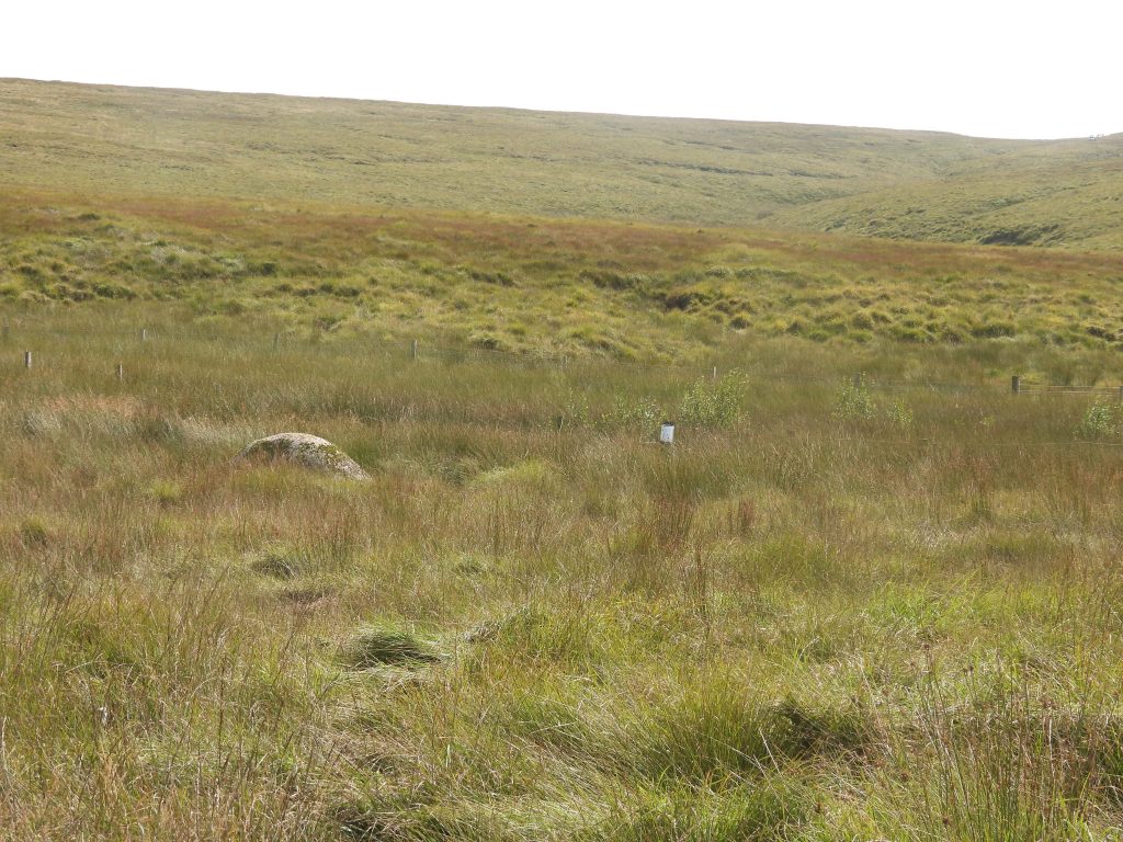
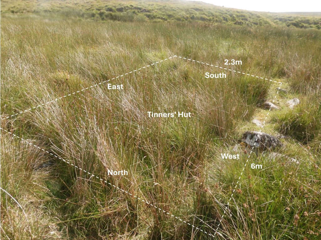
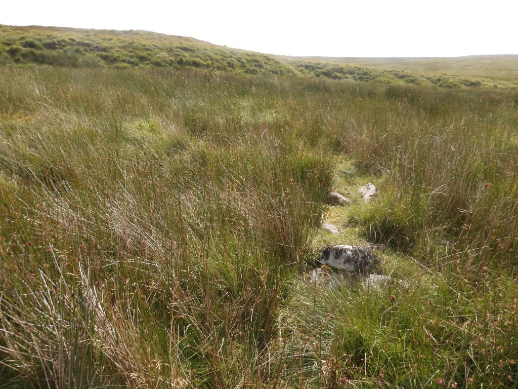
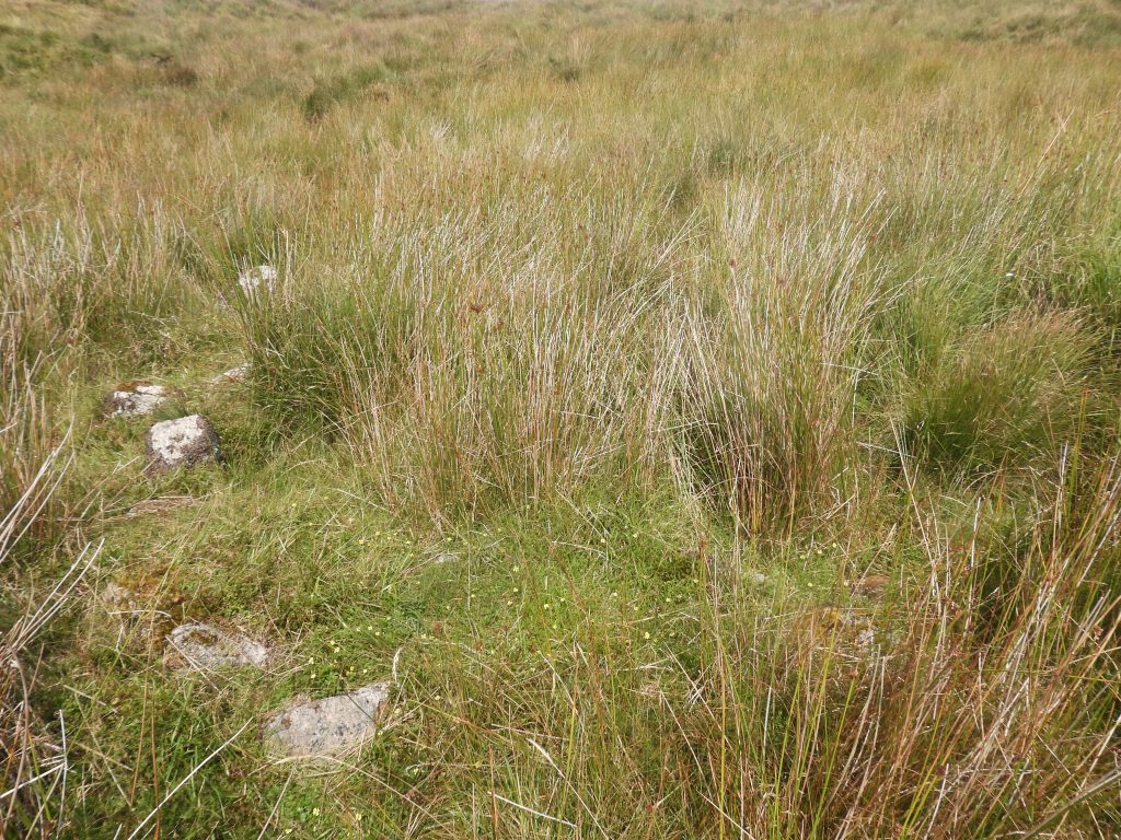
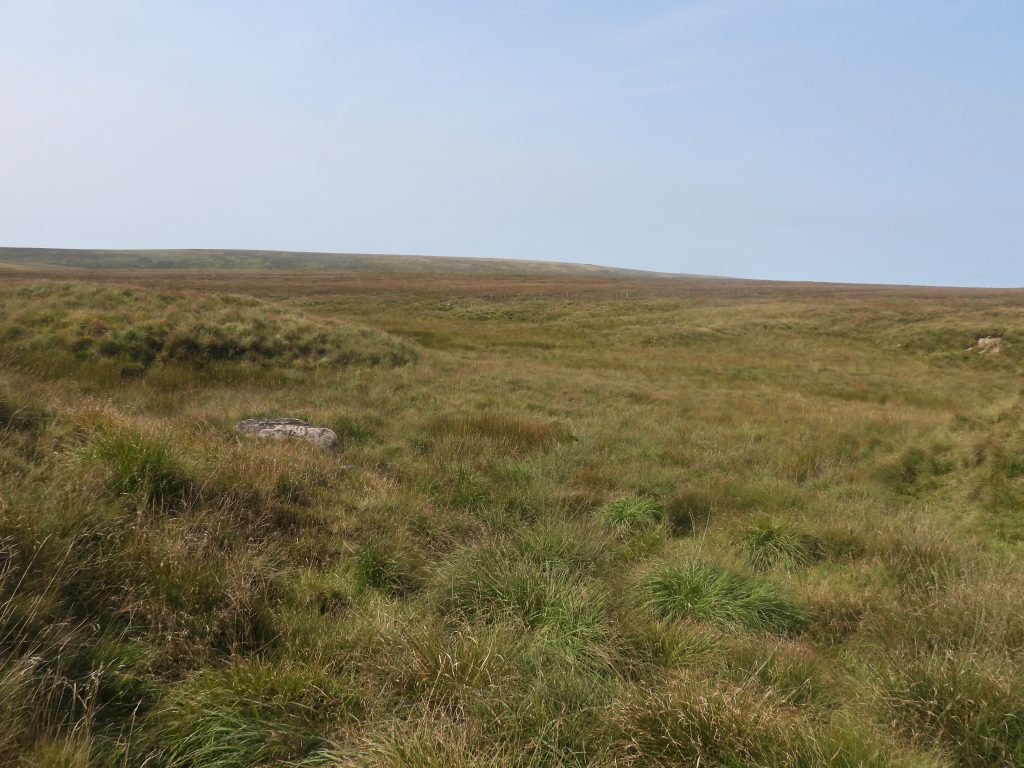
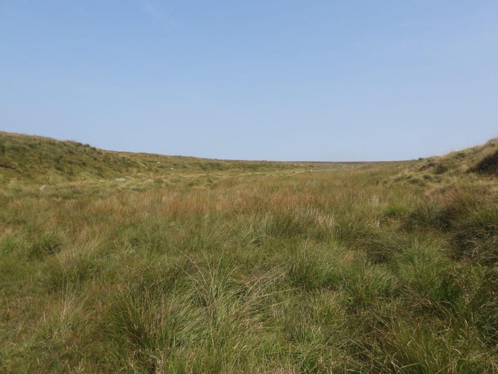
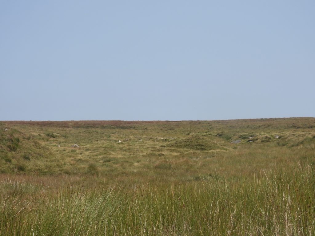
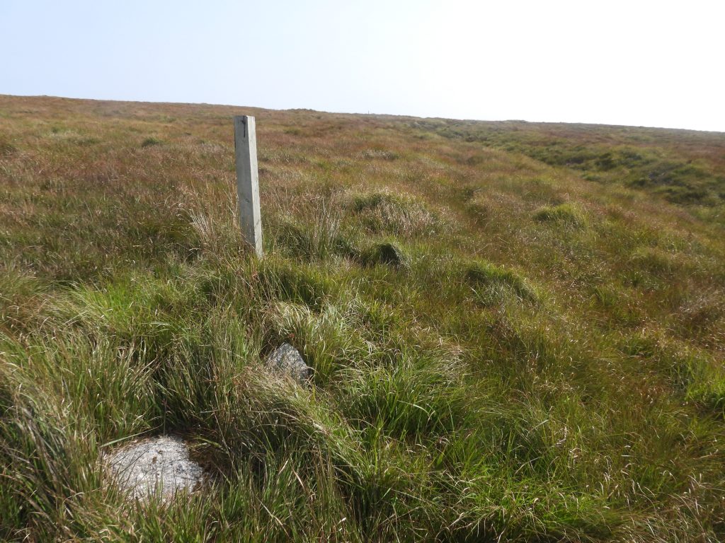
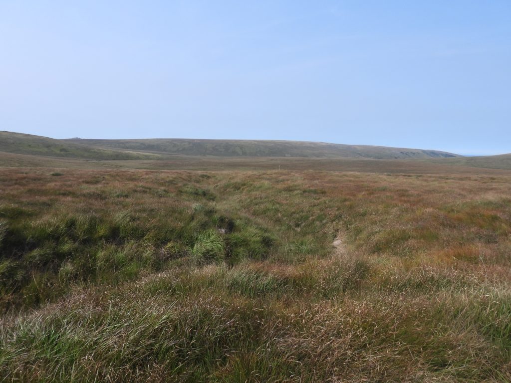
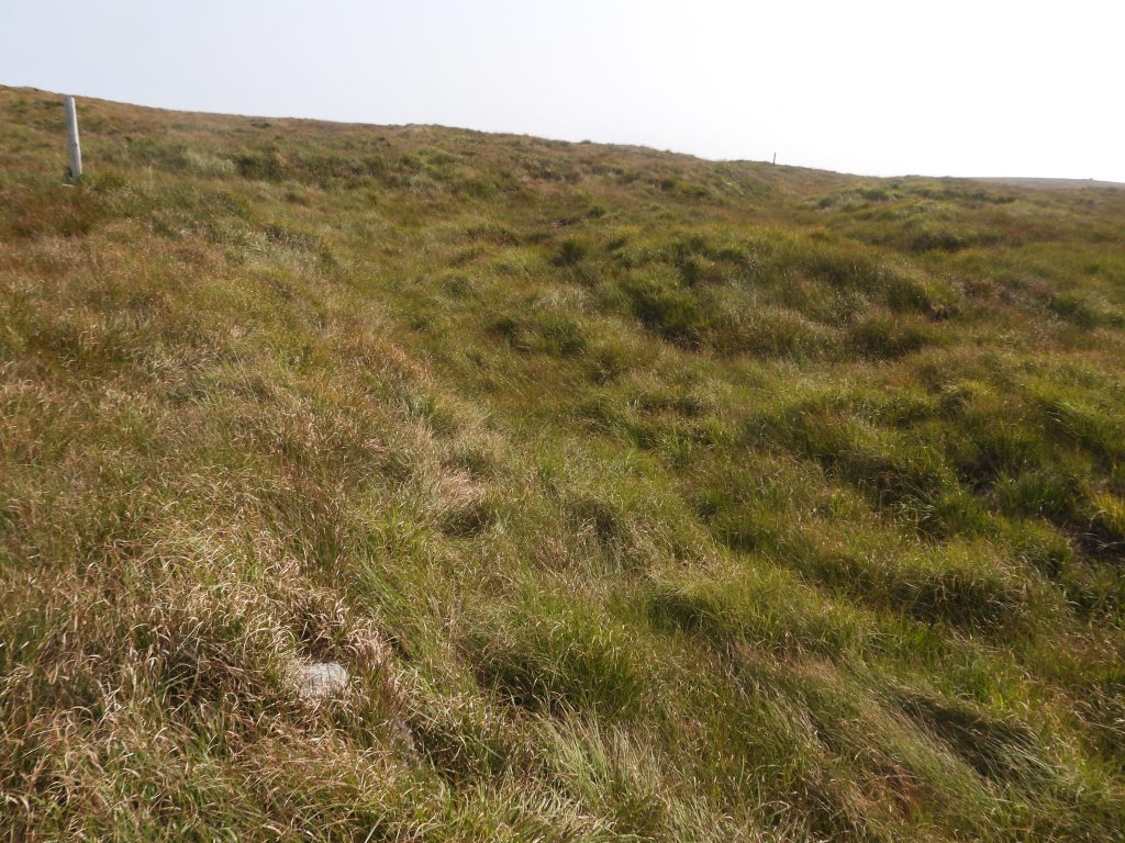
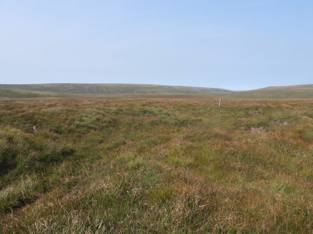
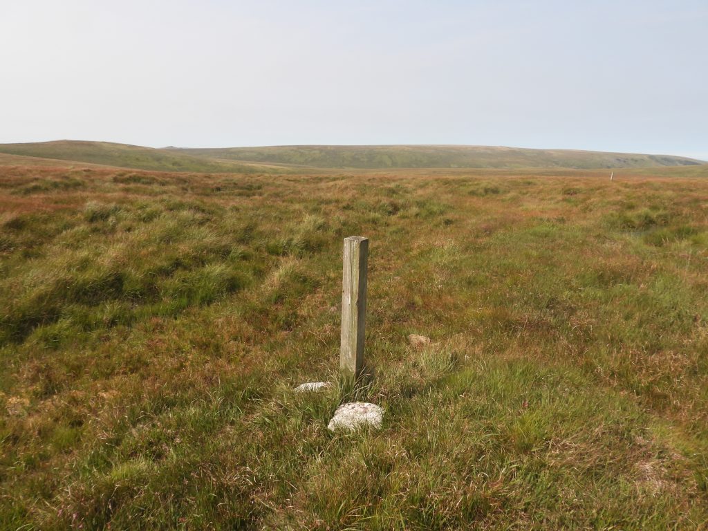
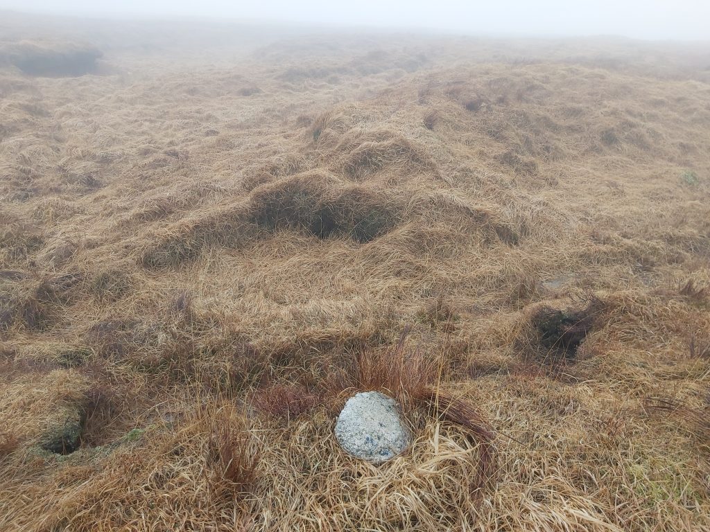
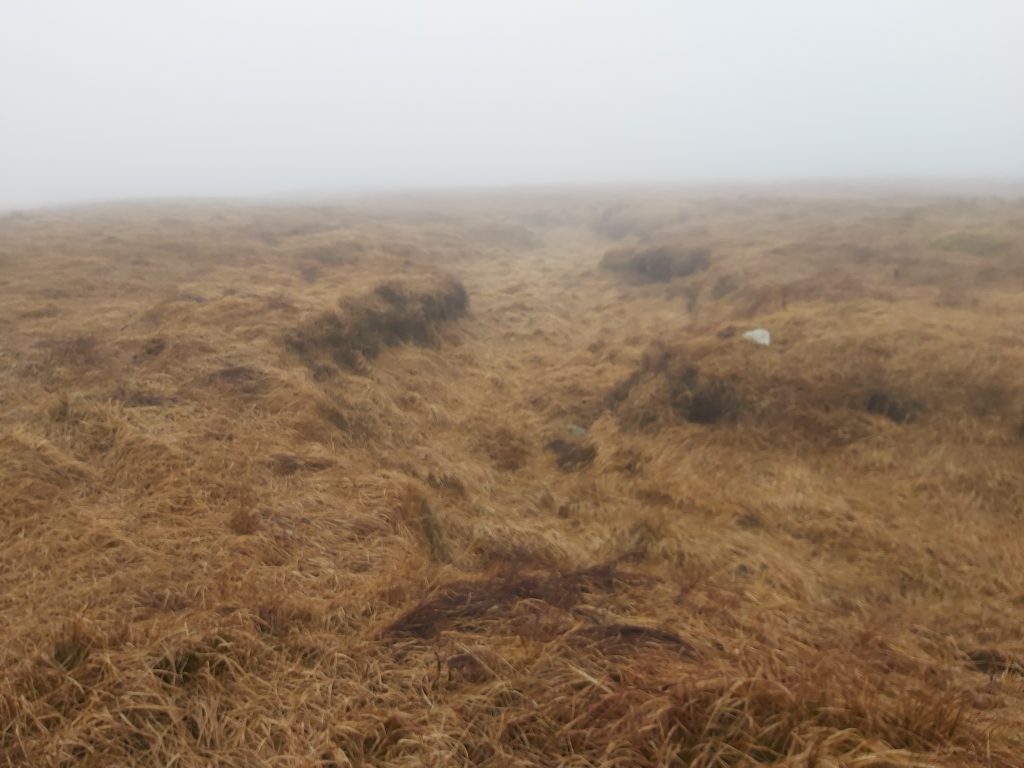
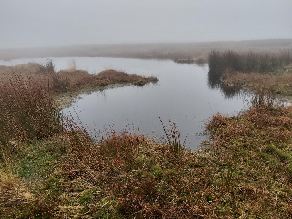
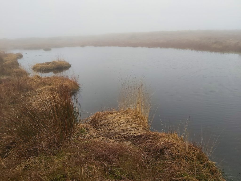
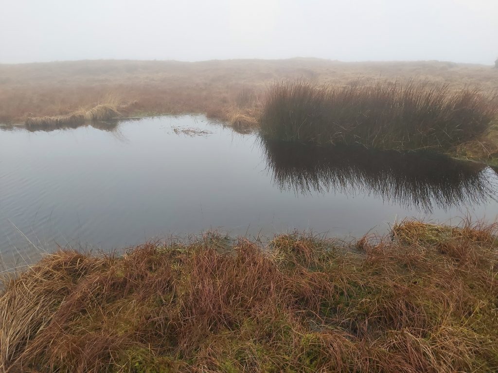
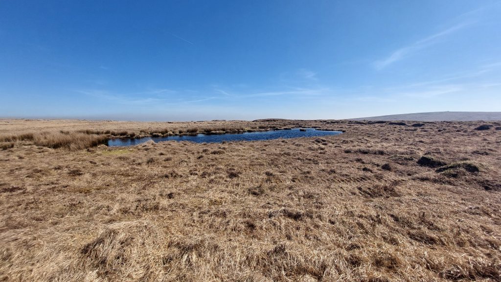
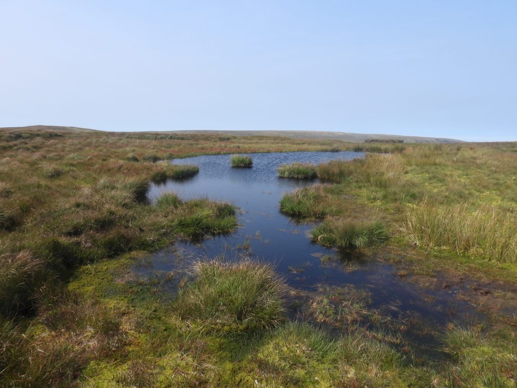
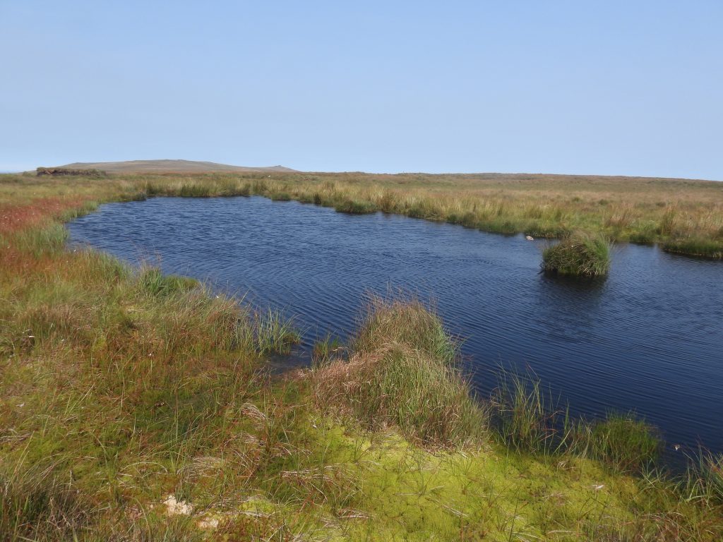
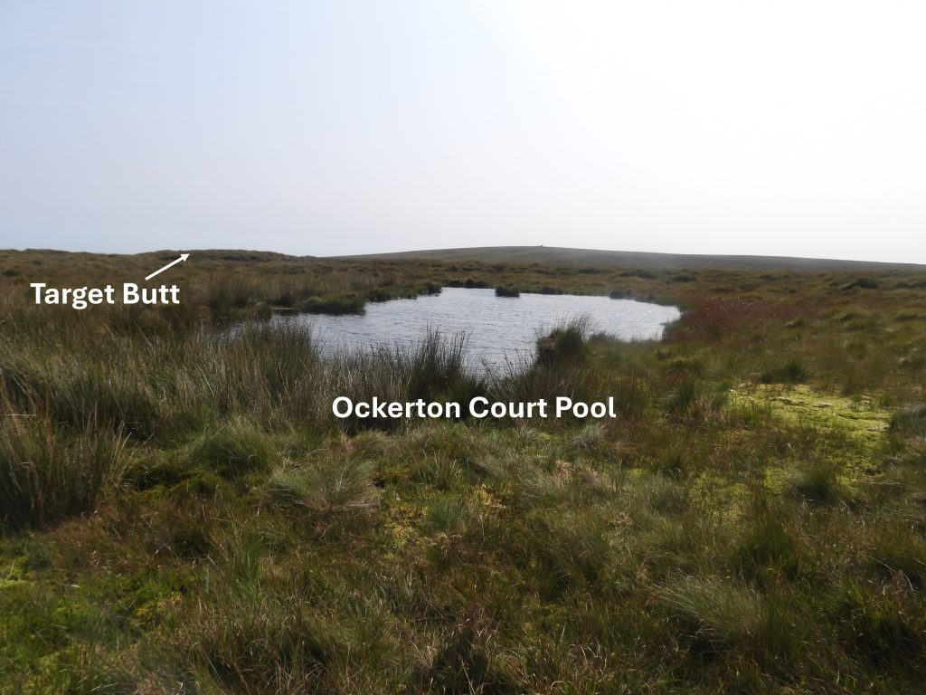
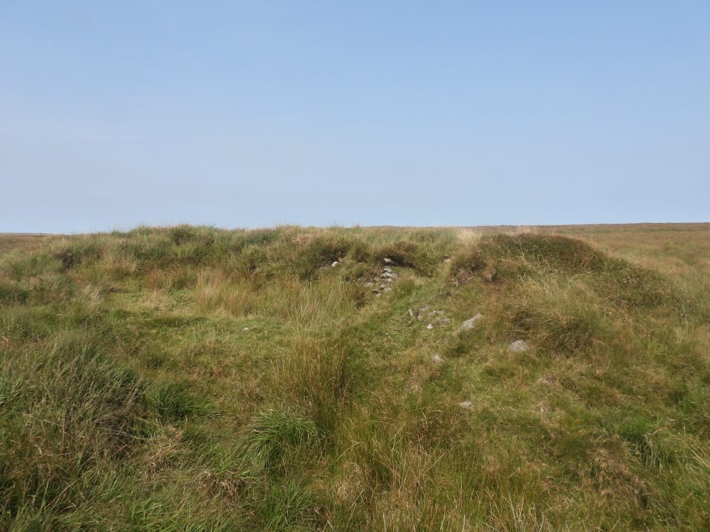
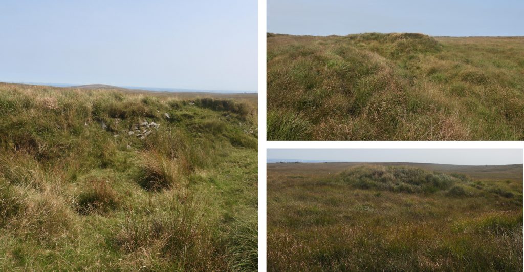
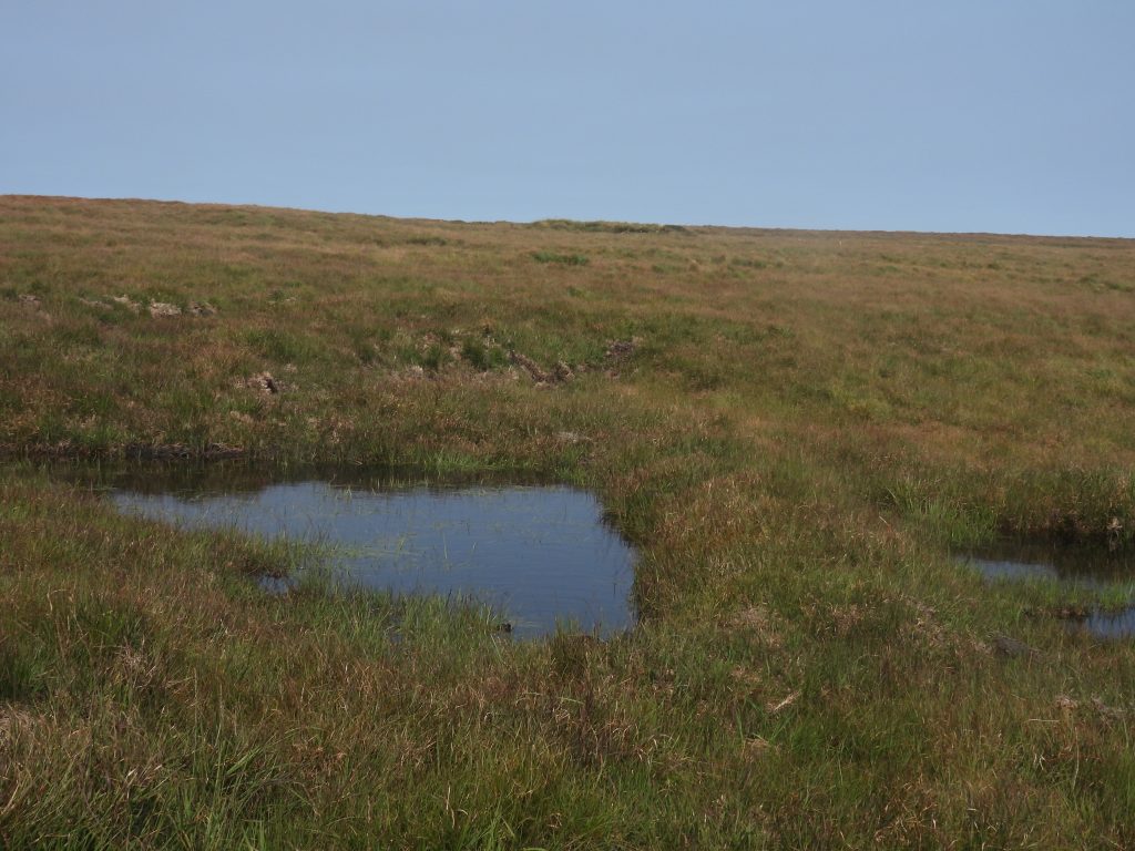
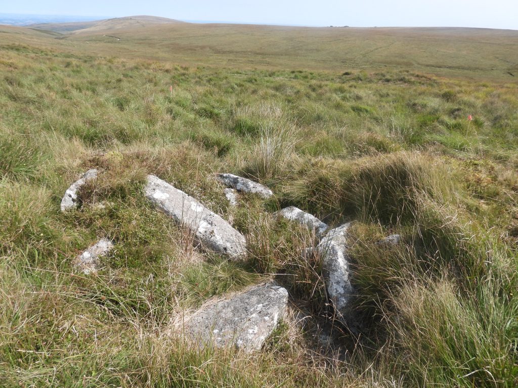
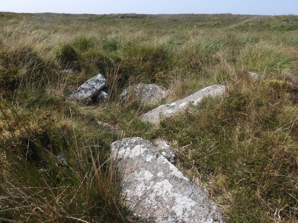
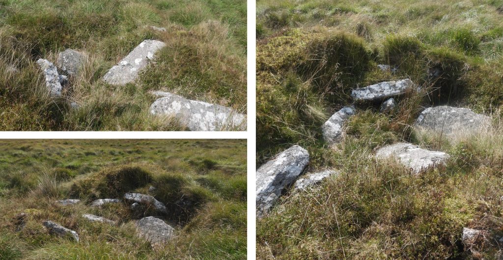
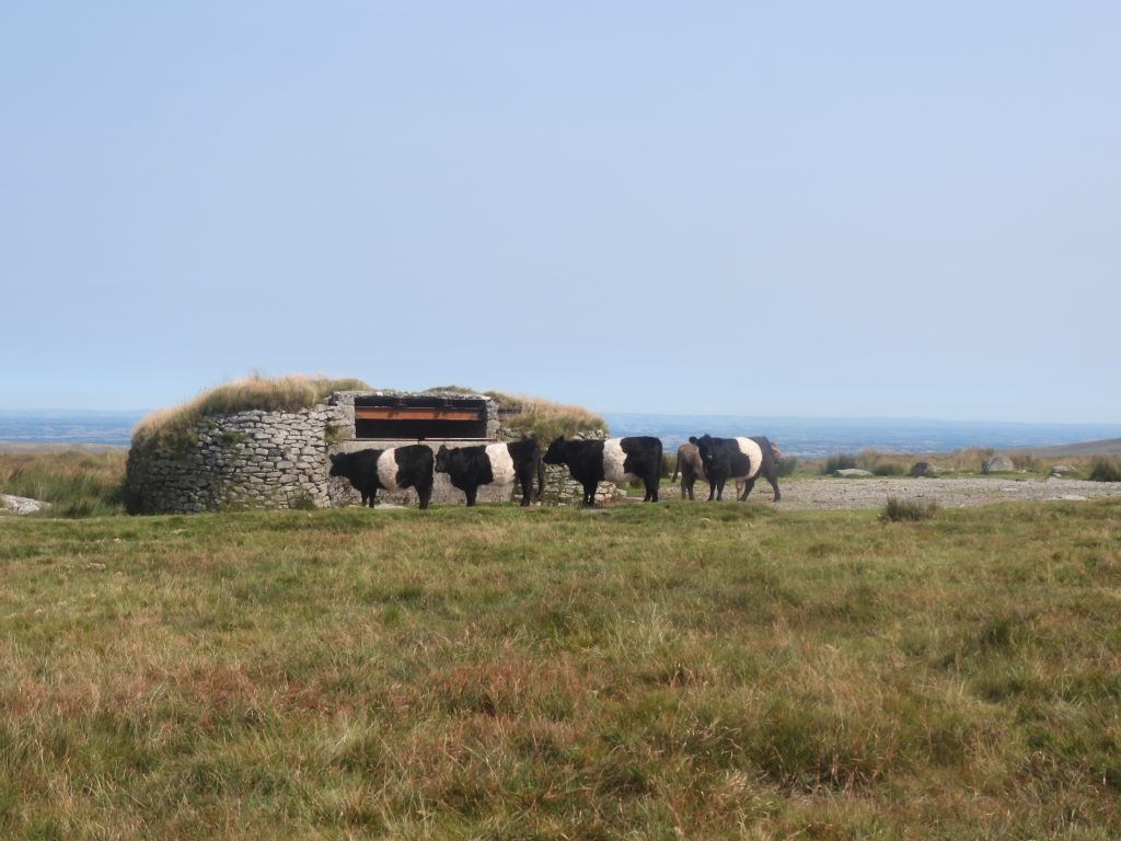
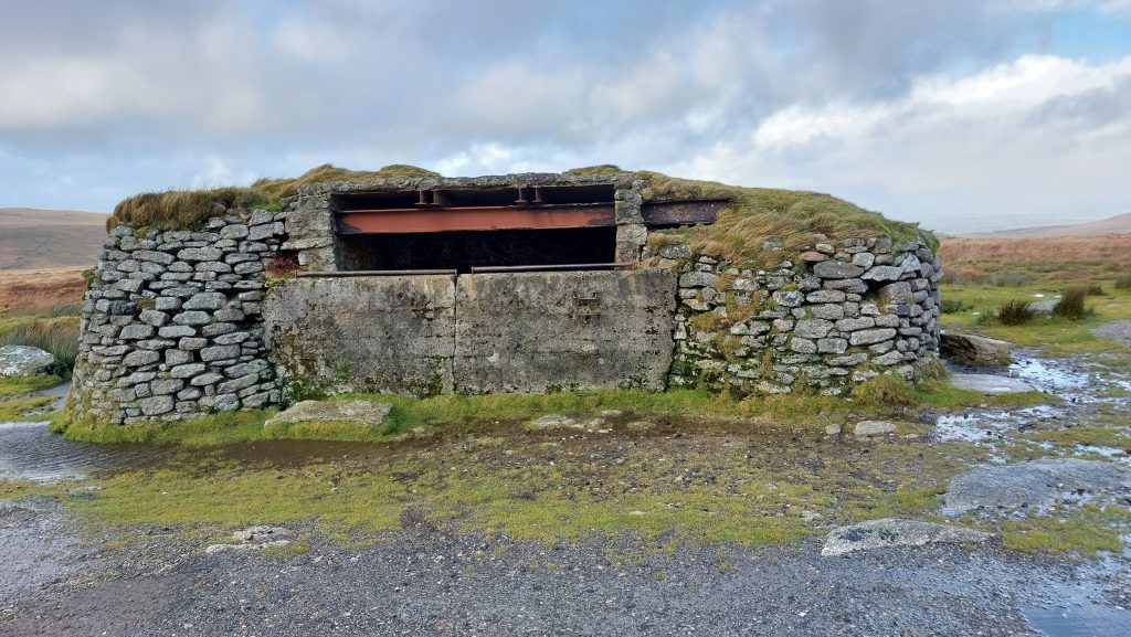
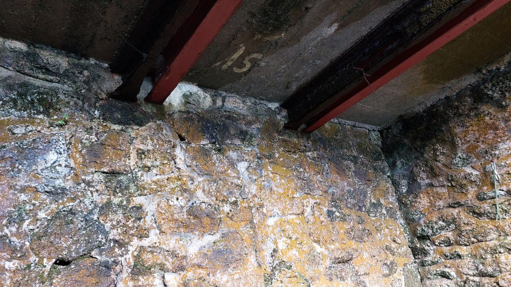
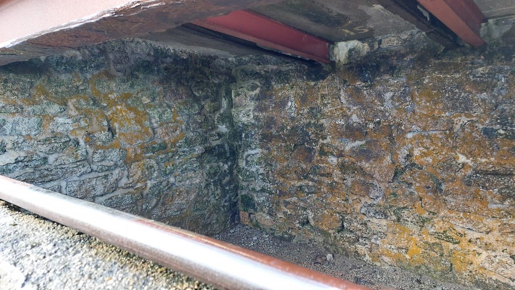
This sketch map shows the artefacts and areas covered in this post. Note the three colours (green, red and orange) of the Tinners Huts in the key representing those which have been labelled as either scheduled*, unlikely and probable. *Dartmoor has 1,082 ancient scheduled monuments recognised for their historic interest. Dinger Tor at the end of the track known as ‘Dinger Tor Road’. There was once an military Observation Post here (ref: OP 20). It has been demolished in the summer of 1993. This tor could be a stop off point before ‘dropping down’ (east) into Brim BrookDinger Tor – zoomed in from West OkementNorthern end of Brim Brook where the wilds of North Dartmoor open out. There is a lovely passage by Eric Hemery (in High Dartmoor – page 878) who records: “The narrow main head has good ground on its west verge under Dinger Plain, where a riding-path crosses the watershed from Blackaven Head (E. Ockment: there linking with Sammy Arnold’s Lane) and branches left through Brim Brook valley to the main valley floor under Kneeset Foot…..” On the north west flanks of Brim Brook are these rocks (annotated as Brim Brook Rocks on the sketch map). They are located at SX59023 87812. Descending into Brim Brook from the north, the first Tinners Hut (annotated as number 1 on sketch map) can be located next to a boggy area full of reeds. This is the northernmost of three tinners’ buildings within the main Brim Brook alluvial tin streamwork – there is a fourth one near Brim Brook Foot near the confluence of West OkementThe Tinners Hut / Building has been recorded over the years (between 1975 and 2012) by Brian Le Messurier, Jeremy Butler, Sandy Gerrard, Royal Commission for the Historical Monuments of England and English Heritage. All recorders appear to offer differing measurements of the structure which are around 5m by 2m. Tinners Hut 1 is located at SX59022 87662The hut has been cut into a tinners waste dump which lies north-north-east to south-south-west and parallel to the river.Between Tinners Huts 1 and 2 is a Benchmark. It is referenced B.M. 1617.8 on 19th century maps. It is possible that the Ordnance Surveyors visited this area when it was still being worked by the later tinners.The Benchmark is located at SX59017 87566Tinners Hut 2 is a similar size to Tinners Hut 1 but is in a better state of preservation. This hut is sited on the east bank of Brim Brook within an area of tin streamworking and has been cut into an earlier tinners waste dumpTinners Hut 2, like number 1 has been measured differently by a number of observers but is more or less around 5m by 2m. Tinners Hut 2, like others would have been used for shelter and storage. The hut has been divided into two rooms. It is possible that the partition may be of relatively modern date. Hemery in High Dartmoor suggests the additional ‘chamber’ may have been a shelter, perhaps for a shepherdThe walls of Tinners Hut 2 are up to 5 courses high. The hut is located at SX58980 87499Near to Tinners Hut 2 there are a well preserved group of waste dumps lying at right angles to the valley bottom. There is approximately 11.6 hectares of tin streamworking along Brim Brook which extends from between SX5870 8689 at the confluence with the West Okement to SX5916 8816 at the northern endThe largest tinners building (annotated as number 3 on the sketch map) along Brim Brook is circa 9 metres by 4 metres. The walls are 0.6m thick and stand to a maximum height of 0.6m. The author has known it to be called ‘The Garrison’ or ‘The Barracks’This larger than normal tinners’ building has finely coursed walls up to four courses high (Gerrard). It is rectangular and is orientated north-east to south-westInterestingly, Probert and Newman have interpreted the remains of the building thus : “The remains are likely to represent the stone foundations for a timber structure and probably did not stand any higher than at present”. As there is no clear location of an entrance the wooden structure suggestion would definitely appear to be a sound oneThe building has been cut into an earlier streamwork and maybe of 19th century date. It lies below a very large mound, thus if approaching from the north will only be seen at the last moment.Brian Le Messurier suggests that the building may well be associated with Wheal Providence, which was a tin mine which was licenced by the Duchy of Cornwall in 1836 for a twelve month period. Could this have been the accommodation for the tinners ? Indeed, Hemery (p 879) suggests it must have formed a Tinners’ BarracksThere is a recessed fireplace 1.3m wide by 0.75 metres deep at the north end of the building‘The Garrison’ is located at SX58862 87325Brim Brook between Tinners Huts 3 and 4 (in winter)Brim Brook (in summer) looking north towards ‘The Garrison’Streamworks below the ‘Garrison’. Throughout Brim Brook there are a range of well-preserved earthworks which the experts suggest represents a multi-phase exploitation of the tin depositsSmall ford across Brim BrookPath alongside Brim Brook heading south towards Kneeset NoseThe fourth Tinners’ Building (hut) in Brim Brook is located about 90m from the confluence with West Okement. It is a poorly preserved rectangular building, which is aligned N-S and sited in a boggy area of tinworking on the east side of the brook at SX58722 86921A very poor condition Tinners Hut (number 4) with rubble walling 0.9m wide and 0.6m high. This is a winter viewSummer view of Tinners Hut 4. It measures 5m by 2.3m (Gerrard)Historic England suggest Tinners Hut 4 is divided into two rooms with a gap midway along the eastern wall which represents an entrance. This is backed up by an observation by Le Messurier in 1975 who recorded “There may have been an interior dividing wall”. Gerrard offers dimensions of the two rooms as being : “The north room measures 2.3m by 1.4m and the south room is 3.1m by 2.2m”Tinners Hut 4 is barely discernible just a few metres awayKneeset Nose (in winter)Kneeset Nose (in winter)View of Kneeset Nose slightly east of Brim Brook FootThis group of stones is annotated in red as (unlikely) Tinners’ Hut on the sketch map. Jeremy Butler in his Atlas of Antiquities – the North (map 42) describes it as an end wall of a tinners’ hut circa 4.0 metres by 2.0 metres. He further states it is visible having been overwhelmed by the mounds that were later heaped around it.Butler’s Tinners’ Hut is located at SX58828 86808 on the northern side of the West Okement River in an area of tin streamworking. Contra to Butler’s assertions that this is a Tinner’s Hut the Royal Commission for the Historical Monuments of England (RCHME) state its status as such is ‘doubtful’. In reality, as RCHME record “…is just a pile of loose granite which closes off the western end of a pit creating the illusion of a crude structure measuring 2.5m long by 2m deep”.Jackman’s Bottom as viewed from the north side of West Okement riverAnother view of Jackman’s BottomZoomed in view of Lints Tor from West Okement river. Sometimes known as the ‘Sphinx’ West Okement riverWest Okement river – the level area on the south side of the river is the location where the author and his father camped on a stormy night in May 1993. The following morning, the car had to be bump started down Okement Hill from OP 15 as it had been facing into the prevailing wind and rain overnight !Just over 70m south-west from the confluence of West Okement River with Vergyland Combe stream lies this rather splendid Tinners’ Hut, which is annotated at number 5 on the sketch mapThis well-built structure is aligned approximately NW to SE and is sited at the foot of a large mound on the edge of a small area of tin streaming.The east wall, especially is very well built being up to six courses high.Tinners’ Hut 5 is located at SX59471 86655The internal dimensions of the Tinners’ Hut are 5.4m by 2.1m (RCHME) with the walls being around 0.4m thick. The narrow entrance, sited within the SW wall is around 0.4mWilliam Crossing mentions the hut as ‘a little mining building’.Isolated boulder at lower end of Vergyland Combe at SX59553 86929The isolated boulder in summer is located next to a new(ish) fence which is probably part of the peatland restoration project and there is willow growing here.New(ish) fencing in Vergyland CombeWest wall of a probable Tinners’ Hut in the middle reaches of Vergyland CombeThis probable Tinners’ Hut (as annotated on sketch map) is not recorded in Devon Historic Environment Register or shown on any OS Maps.Winter or summer, this probable Tinners’ Hut is located in a rather boggy area of the combeTinners’ Hut measurements as taken by the author in August 2025. The location of the probable Tinners’ Hut is SX59651 87106South wallEast wall buried under vegetationMiddle reaches of Vergyland Combe where the Tinners’ Hut is locatedLooking towards the upper reaches of Vergyland CombeUpper Vergyland Combe has a lot of streamworkingsTo the east of Vergyland Combe across some very rough terrain is a peat pass (now marked by wooden post), running from east-west, which once provided a drier path through the blanket bog. The peat pass is marked as Huggaton Cut on OS maps. It is also known as Hammond’s Cut.Huggaton Cut with West Okement valley beyond. It is one of nine passes constructed between 1895 and 1905 under the direction of William Francis Phillpotts, to provide better access cattlemen and fox hunters. William Francis (Frank) Phillpotts was known as being a competent horseman and was still winning point-to-point races at the age of 65 and still competing at the age of 71. He died at the age of 72 in October 1909. The picture above show two wooden posts marking the pass.Huggaton Cut is the most northerly of the Phillpotts peat passes. It can entered from north-west corner of Ockerton (Huggaton) Court. It is the only Phillpott’s Peat Pass which does not have any granite memorial stones with plaques. That said, around 2006 one appeared at the west end of the pass but disappeared very soon afterwardsHuggaton Cut, eastern wooden post near Ockerton CourtStone near east end of the peat pass. Huggaton is the old Dartmoor name for Ockaton or Ock-a-ment (ref: Hemery). The cut is recorded as measuring 210 metres longThe pool at Ockerton Court in winterThis is also known as Ockerton Pool or Huggaton PoolOckerton Court, historically has been a lovely place for quiet reflection. However, circa 2025 it appears now be the epi-centre for the peatland restoration projectThe views from Ockerton Court pool as extensive to the east, west and southOckerton Court pool in summer is full of insect lifeOckerton Court pool looking west towards High Willhays and Yes TorClose to Ockerton Court pool is a large crescent shaped mound constructed of soil, which is believed to have been a former Target Butt for the militaryThe Target Butt has some visible stone protruding which is evidence of a revetment on the inner south-east face. It is around 15 metres longThe ‘Target Butt’ has long since been disused. It is around 5 metres wide and up to 1.5 metres high. It is located at SX60425 86882Pools in the vicinity of Ockerton Court created by the Peat Restoration ProjectOn the upper western slopes of the Taw valley stands a small, ruined, rectangular stone-built structure which is thought to have been a Peat Cutter’s Hut. The internal dimensions recorded by the Royal Commission for the Historical Monuments of England (in 1993) were recorded as being 2.3m west to east by 1.6m, by Jeremy Butler (in 1991) the dimensions were recorded as being 2.6 metres by 1.3 metres, by Ordnance Survey Division (in 1979) as being 2.7m by 1.8m and by Brian Le Messurier (in 1975) as being 1.5m x 2.4mThe roofing slabs have collapsed and the lintel (1.4m long by 0.4m) from over the doorway lies at the entrance. The entrance is 1m wide. There is no fireplace or any other internal features.The hut is thought to have probably been just a simple shelter used by peat cutters working in the immediate area. Nearby there are many linear peat cutting plots. The hut is located at SX60705 86689OP15, probably one of the most well known of the Observation Posts near the top of Okement Hill. It was, up to early 21st century (2003) a popular parking spot for those wishing to reduce their hiking distances and get to the upper reaches of the Rivers Taw, East Dart and West Okement (Cranmere Pool). It was constructed around 1923.OP15 was originally built with thick wooden joists, which have been replaced (it looks like on more than one occasion) by metal girders. The OP is located at SX60254 87754Inside OP15 has the number ’15’ painted on the ceilingInside OP 15, which can be a welcome site if sheltering from inclement weather