A collection of walks, discoveries, insights and pictures of exploring Dartmoor National Park
January 22, 2026
Devon Poldice (aka Walkham United)
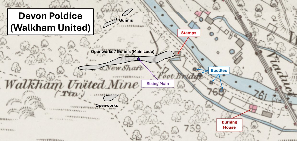
The 19th century mine called Devon Poldice, which later in the century became Walkham United, is located to the west of Gem viaduct alongside the River Walkham and up the adjacent steep slopes of the south end of Sticklepath Wood. In the vicinity of the 19th century mine operations are two deep, rock-cut Openworks / Gunnis’ to the west. These earlier workings are late medieval (or earlier) and were a draw for the ‘modern’ prospectors who were looking to profit from the earlier exploits of the ‘old men’.
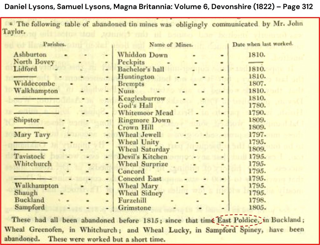
The earliest documented evidence of the mine appears to when it was called East Poldice Mine in the parish of Buckland as recorded by Lysons (Magna Britannia: Volume 6, Devonshire (1822). The mine, referred to by Lysons stated it was abandoned after 1815 and this would have been before 1822 when the document was published. It is possible that the mine re-opened in 1825, as it is claimed in that year a leat was cut to ‘Poldice Mine’ (Dickinson). No documented information has been found about the mine until it is referred to in January 1860 when it was recorded as ‘Devon Poldice’ in the Devonport Journal. The paper published the following: “The present high price of tin have induced the proprietors of this sett to employ some experienced tinners, to explore the old workings”.
The recorded production figures from 1860 were: 4¾ tons of black tin for £396.9s.4d (or equivalent to over £60,000 in 2026). In 1861, as recorded in the Cornwall and Devon Mining Directory by Williams, the mine was said to be 20 fathoms deep employing 20 persons. Devon Poldice was thought to have been incorporated into a new sett called Walkham and Poldice in the 1860s which included more land near Grenofen Bridge. The mine was recorded as abandoned about 1866, and materials still remained unsold in 1868. That said, the mine was said to be ‘at work’ in 1875 (ref: Brook Index), when it sold 5 tons 11 cwts. 2 qrs. 13lbs. of black tin for £266.10s.0d (or equivalent of nearly £75,000 in 2026)
The mine became part of the Walkham United in 1881, when Walkham and Poldice (at both the Gem viaduct and the Grenofen Bridge locations) was renamed – this new name is shown on OS maps of that period. In 1881, 1.5 tons of tin was sold valued at £65 12s. 6d (or equivalent to nearly £16,000 in 2026). The Walkham United operation was short lived and was recorded a year later in the Tavistock Gazette (August 1882) and London Gazette (September 1882) as being wound up on 4th August 1882. This appears to be the date when the mine finally closed.
The 1884 OS map shows the mine had; shafts, a leat, various structures including a stamping mill and a burning house, four round buddles and a spoil heap. Most of these features have been recorded in this post as is additional information on recorded production (Burt, Hunt and Dines).
Tavistock Gazette – 2nd December 1881, 4th August 1882 & 10th September 1886
London Gazette – 15th September 1882
London Gazette – 7th March 1913
Brooke Index – Buckland Monachorum Parish
C.F. Barclay – (2004) – Mines of the Tamar & Tavy: A Collection of C.F. Barclay’s Mine Reports
Hunt’s Mining Stats – (1866-67)
Roger Burt, Ray Burnley and Peter Waite – (1984) – The Devon and Somerset Mines: (Mineral Statistics Of The United Kingdom, 1845-1913)
Phil Newman – (2011) – Mining in the Tavy Valley, West Devon: An Assessment of Archaeological Potential
Daniel Lysons and Samuel Lysons – (1822) – Magna Britannia: Volume 6, Devonshire – Page 312
J. Williams – (1861 & 1862) – Cornwall and Devon Mining Directory. Hayle: Banfield
H.G. Dines – (1956) – The Metalliferous Mining Region of South-West England, page 695
Stephen Holley – (2026) – Pers. Conv.
Dartmoor Chris – (2026) – Pers. Conv.
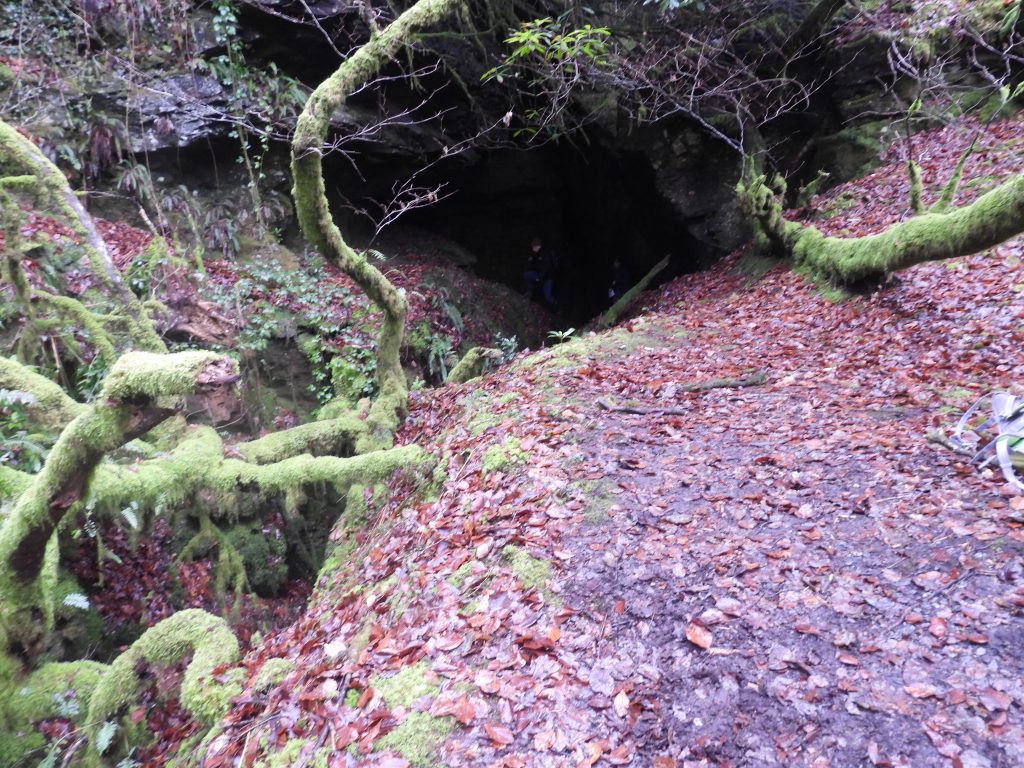
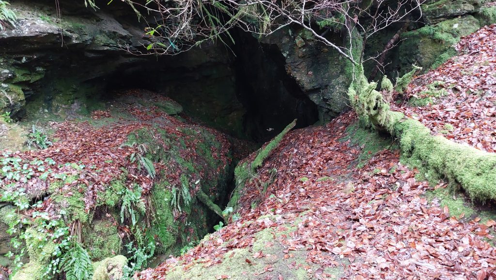
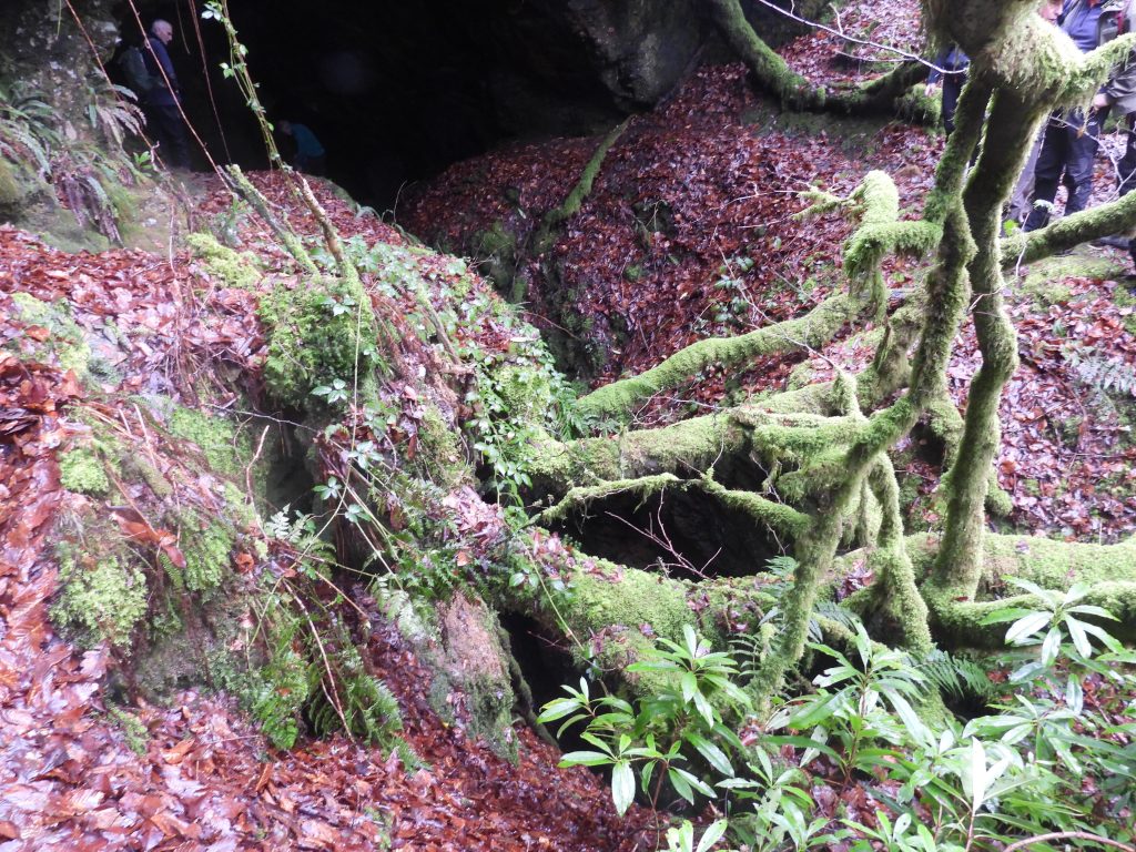
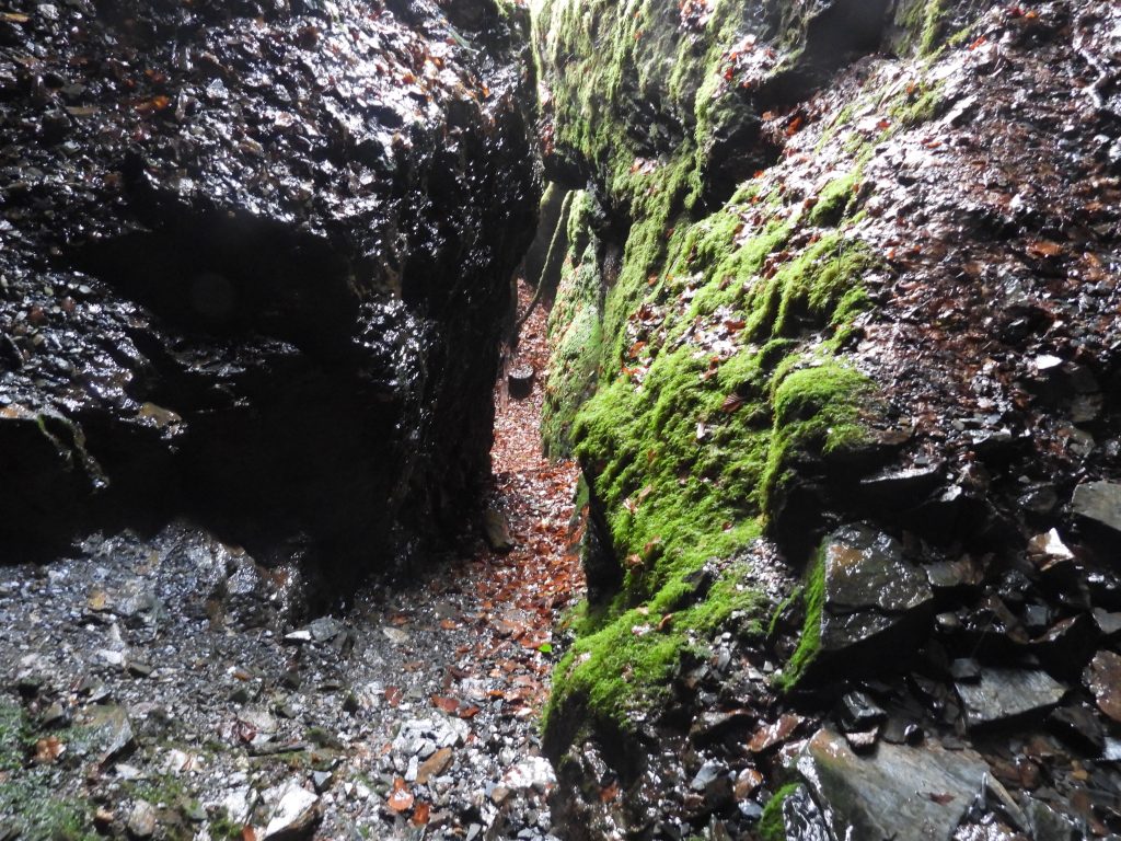
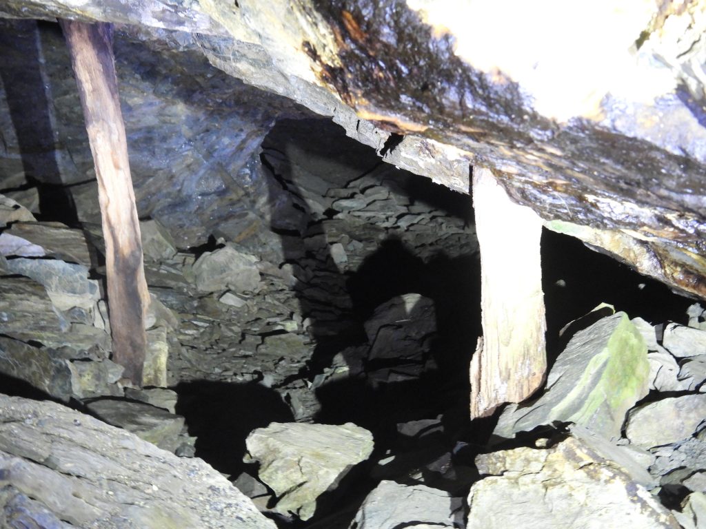
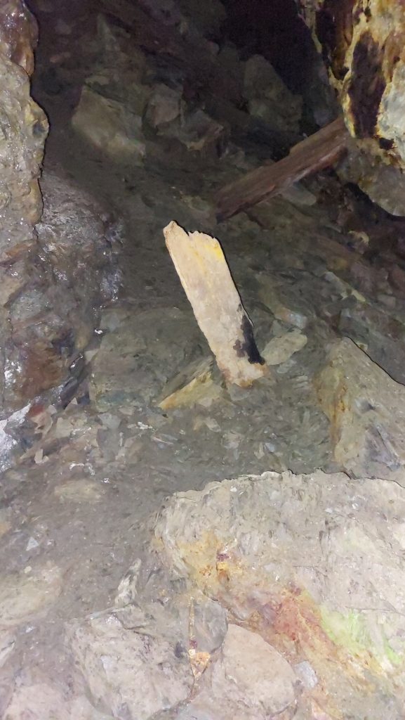
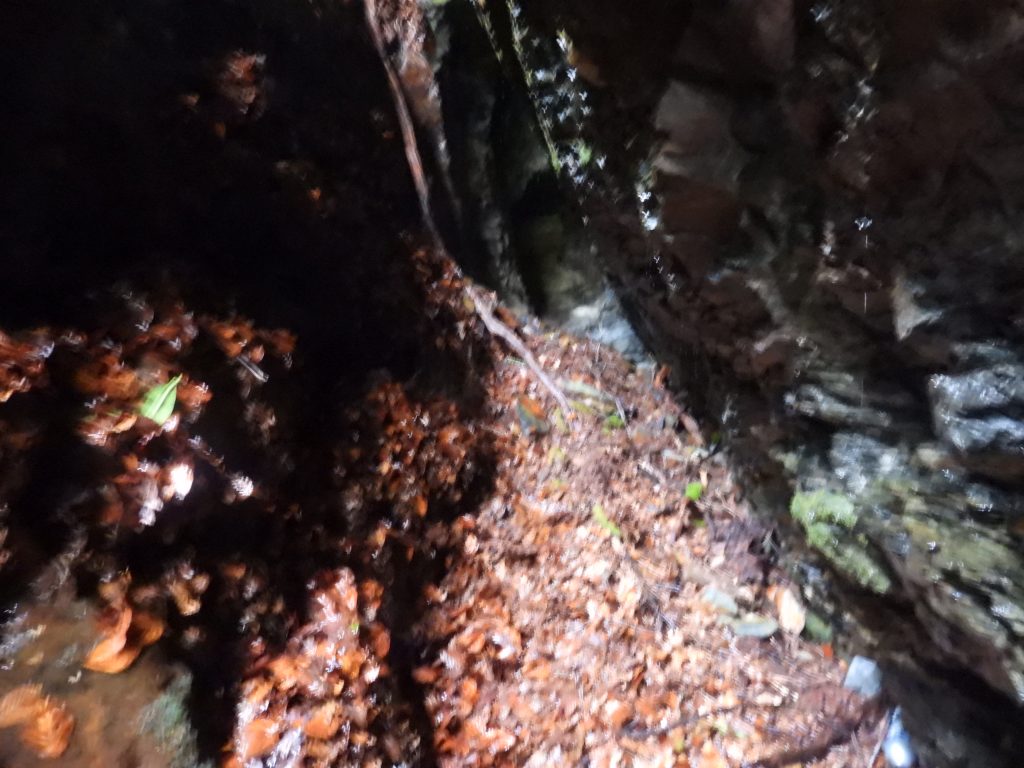
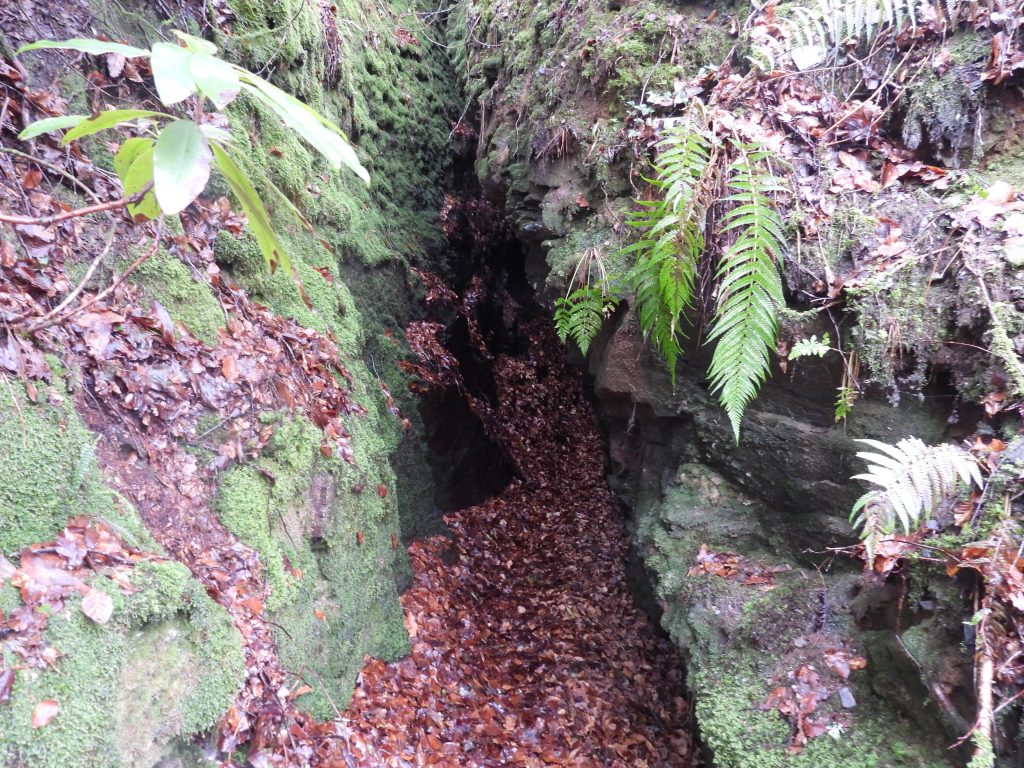
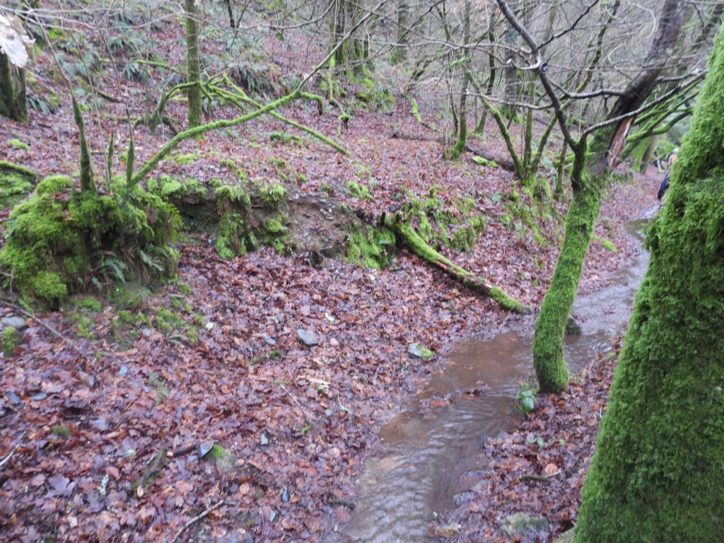
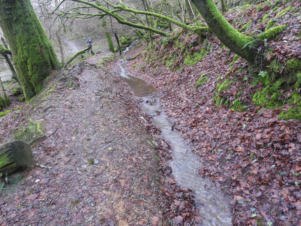
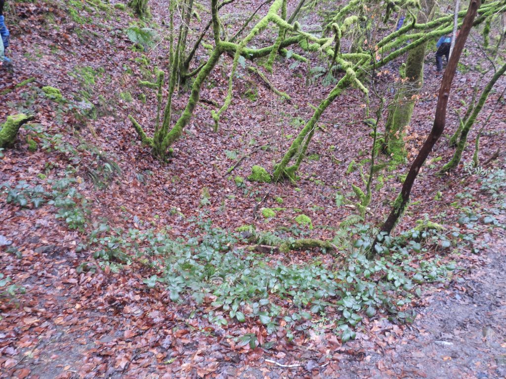
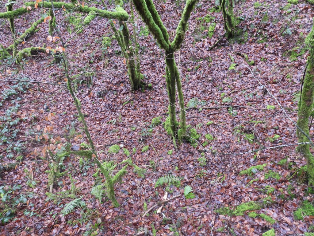
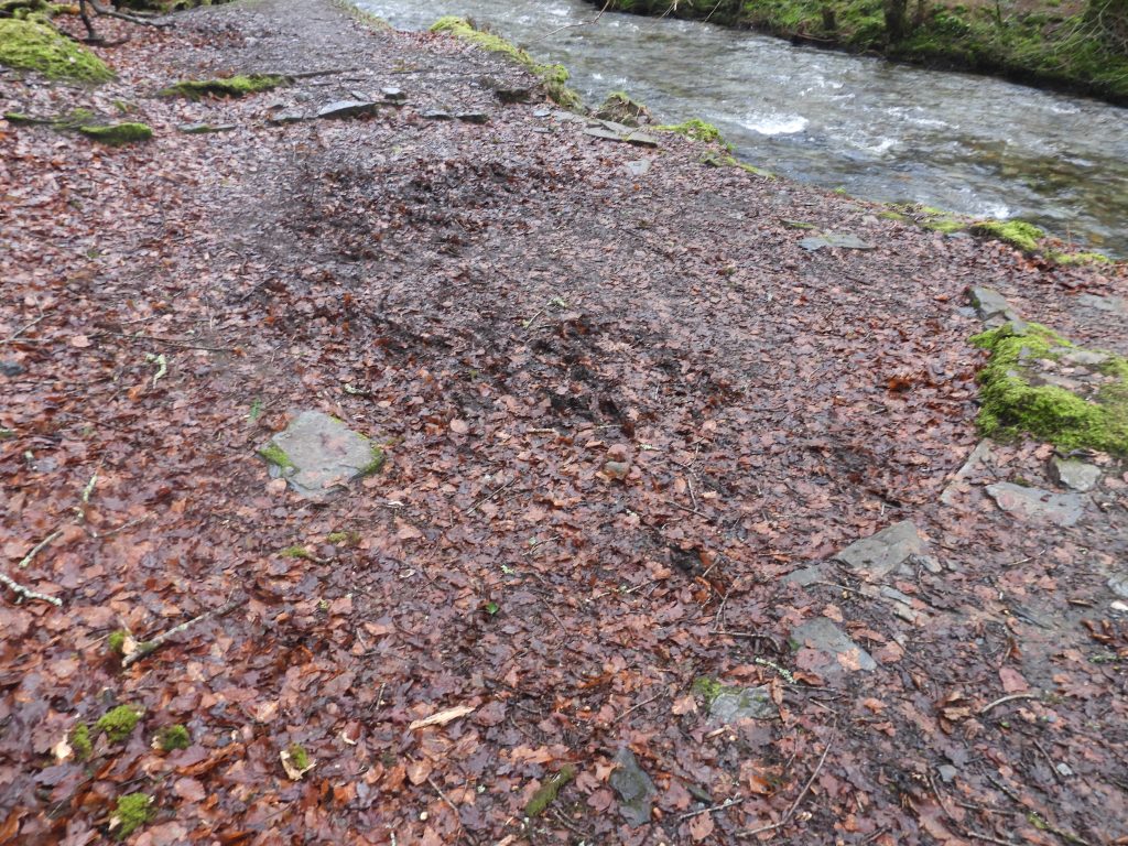
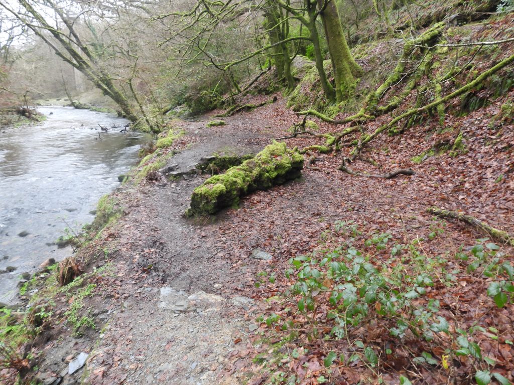
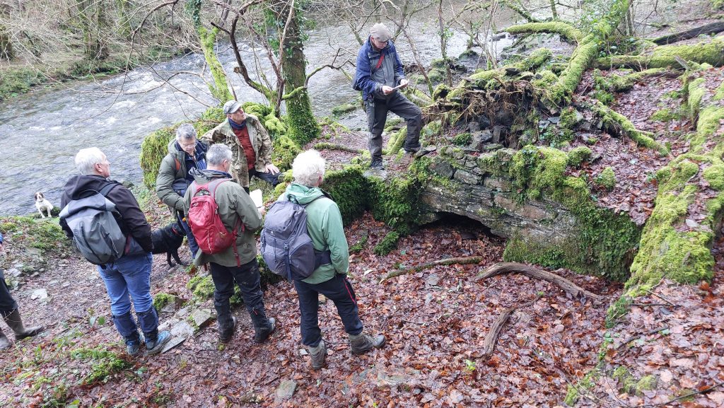
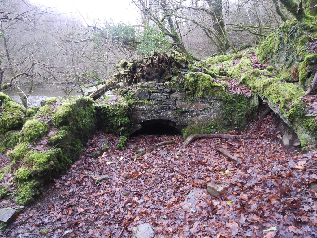
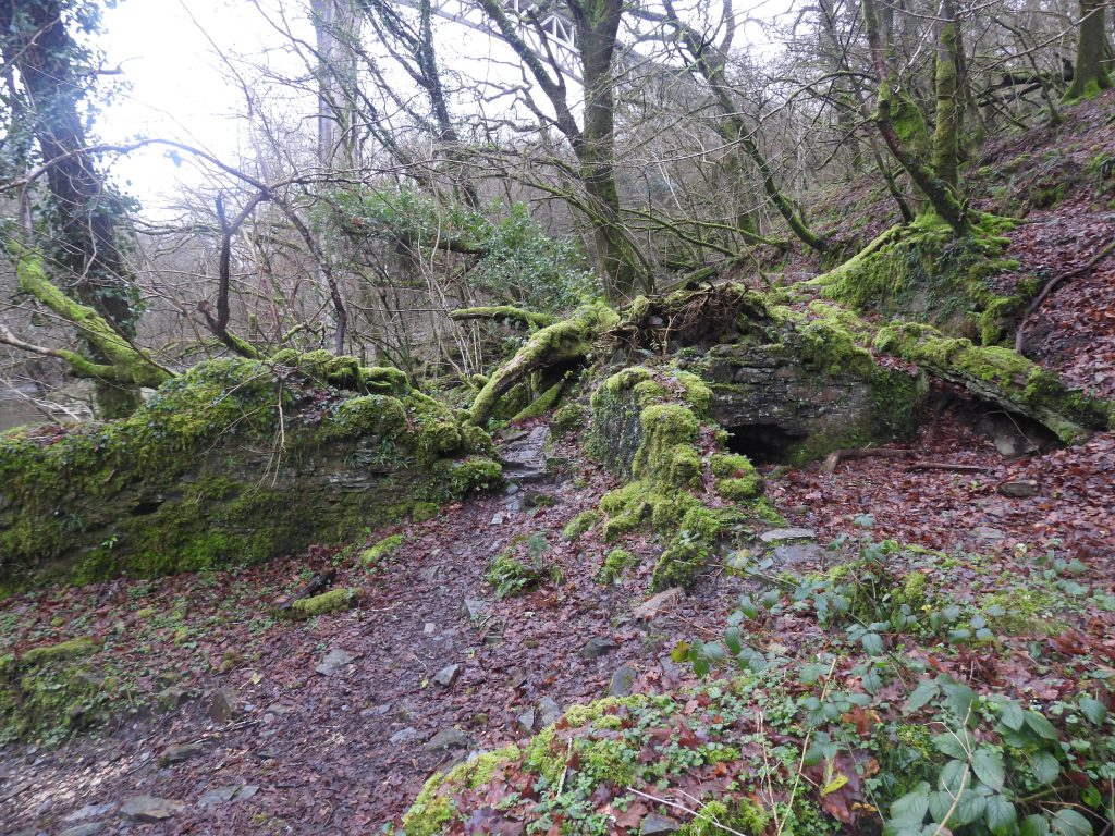
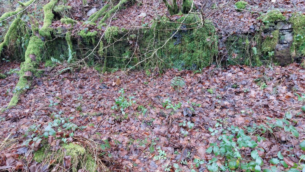
This snippet of an OS map (1873 – 1888), shows the key features of the mine in relation to Gem viaduct. Essentially, the ore extraction was to the west of the Walkham in the workings of the ‘old men’ with the dressing floors located on a narrow strip of flat land alongside the river. Gem Mine lies to the north across the riverThis LiDAR plot shows the openworks / gunnis* to the west of the mine. The lodes represented by these openworks are almost certainly extensions to those across the valley adjacent to Gem mine which comprise two parallel large late medieval west-east openworks, which begin in Birchcleave Wood. *A gunnis, is the space left in a mine after the extraction by stoping of a vertical or near vertical ore-bearing lodeThe Lysons’ record from 1822, indicating East Poldice had been abandoned after 1815 (and before 1822) when Magna Britannia: Volume 6, Devonshire was publishedEntrance to the main lode (Shaft and Gunnis)The entrance to the main lode as shown can be found at SX49376 70536The figures in the photograph are members of the Dartmoor Tinworking Research Group (DTRG) during a visit to the mine and workings in January 2026Just inside the entrance and looking down the shaft / gunnis there is a cast iron rising main, which was part of the de-watering hereOld wooden gunnis props a little further inside the workings
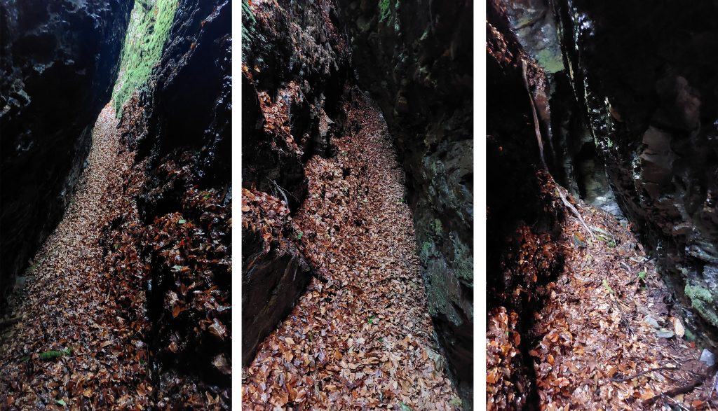
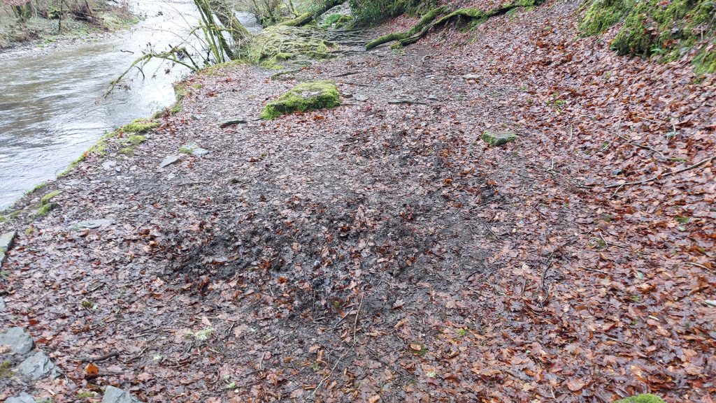
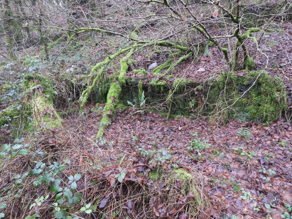
The gunnis props have seen better days.
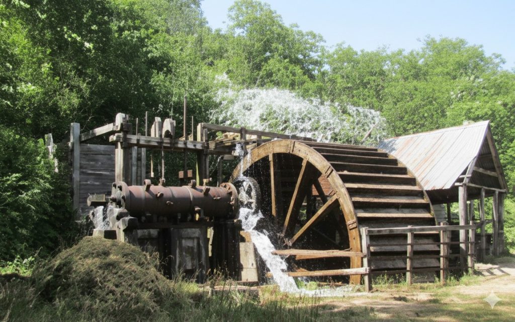
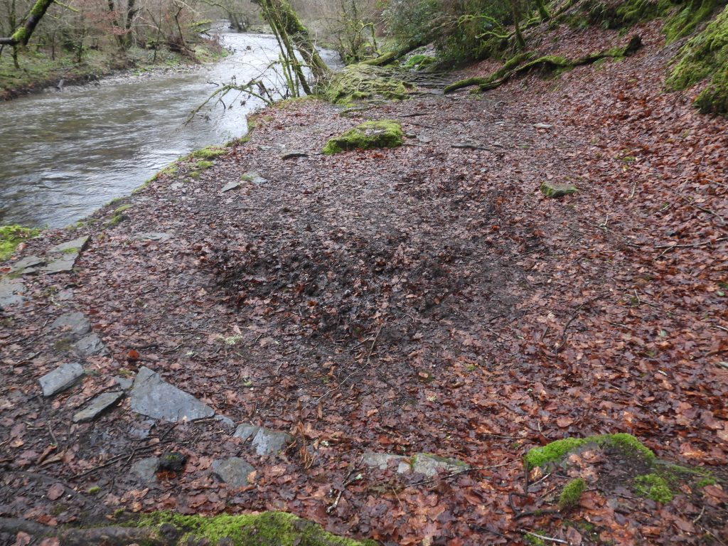
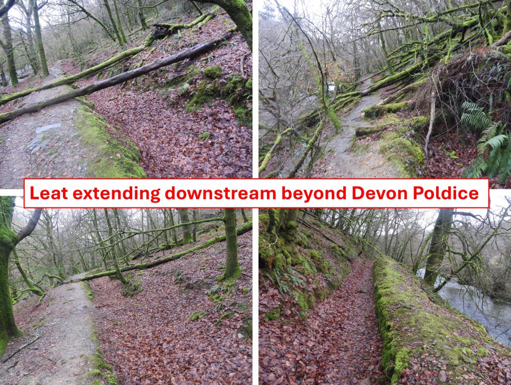
Extract from the Brooke Index, indicating the names of the secretary, purser / manager of Devon Poldice. Tantilisingly, the record shows 310 shares recorded in June 1861 but does not give the value (or expected return) from them. One suspects that the share holders didn’t receive much (if anything)The above is an extract from Dines (1956), which provides some interesting facts and figures. It was written around 80 years after the mine had closed and information was taken from historical records. The three lodes mentioned can be seen easily from LiDAR plots. At the end of the entry about the mine, Dines records the outputs of the mine as being 24 tons of tine and 50 tons of copper ore in the 1860s and 1870s. That said, in the Brooke Index (quoting Hunt’s Mining Stats (1866-67)), there is a suggestion that a sale of 46 tons of copper ore, realising £168.18s.0d in 1867 came from Poldice in St. Day, then part of St. Day United, not from the Buckland Monachorum Parish ‘Poldice’, which possibly invalidates some of the quoted Dines figuresThe above is a summary of six newspaper snippets from 1860, 1881, 1882, 1886 and 1913. These snippets provide an insight into some of the mine’s halcyon days between 1860 and 1881 (albeit it wasn’t really successful) and from its demise in August 1881. Note that the name Walkham United Mines Ltd was finally struck off the register until 1913. The mine may have worked in conjunction with the Virtuous Lady Mine (near Double Waters) in the 1870s (Newman). The second openwork or narrow sloping gunnis to the north of the main lode. This is almost certainly the north lode as recorded by DinesThe end of the accessible area of the gunnisThe entrance to the gunnis at SX49349 70590Onto the dressing floor area by the river. The picture is of the leat whose source (according to OS Maps) was from the discharge (adit) of Wheal Franco east of Gem viaduct (at Magpie Bridge). The leat continues past the dressing floor of Devon Poldice / Walkham United and onto the Walkham and Police / Walkham United mine workings at Grenofen bridge. The leat looking east. Possibly cut in 1825 (Dickinson)Site of the wheelpit, which today is rather non-descript and just a ‘bowl’ in the ground sandwiched between the leat to the west and the river to the eastThe wheelpit is located at SX49414 70553This AI coloured picture is of stamps and water wheel from ‘Walkham and Poldice’ mine. As this mine was incorporated into a sett called ‘Walkham and Poldice’ in the 1860s which included more land near Grenofen Bridge, the picture might be from one of two locations. That said, the evidence suggests this picture is from this location as: a) The stamps at the Grenofen bridge mine were located on a flat area to the right of the wheelpit (not left as shown here) ; b) At Grenofen bridge there is a spoil tip to close by (not shown here) and c) the wheel at Grenofen bridge also ran flat-rods (not shown here)One of a series of Buddles (used for separating tin ore from waste) alongside the river. Close up of the Buddle at SX49435 70533The Buddle looking downstreamThe were four Buddles as shown on OS maps from the late 19th centuryStephen Holley (DTRG chairman) discussing the operation of what is believed to have been a Burning House (ore was calcined or “burnt” to drive off unwanted constituents such as arsenic)The Burning House oven / kiln (?) at SX49468 70491The eastern section of the Burning House (ie behind the kiln)The kiln / oven and walling leading east towards the riverStretch of walling between the Burning House and the Buddles – shown on OS mapThis stretch of walling perhaps protected the dressing floor from land slip above. This part is located at SX49466 70508The leat from Devon Poldice extends west towards Grenofen bridge. This was probably constructed in 1860s when both the Gem viaduct mining operations and those at Grenofen bridge were known as ‘Walkham and Poldice’. Latterly, of course, in the 1880s they both became Walkham United.Path leading between Gem viaduct and Grenofen bridge, known as the miners path