Dartmoor Explorations

A collection of walks, discoveries, insights and pictures of exploring Dartmoor National Park

Magpie Mill

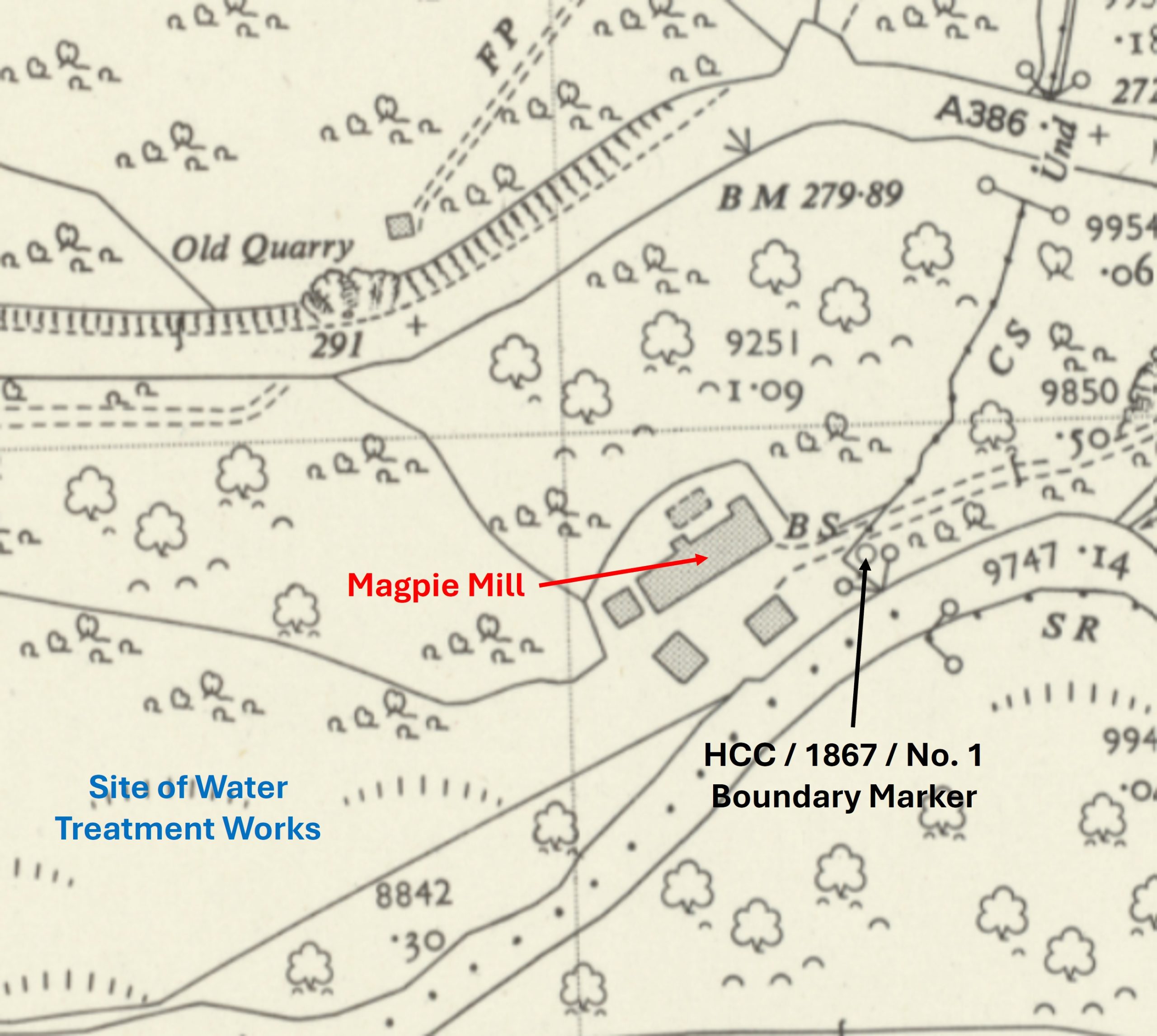
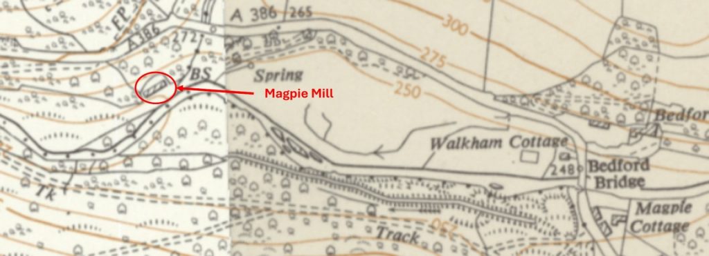
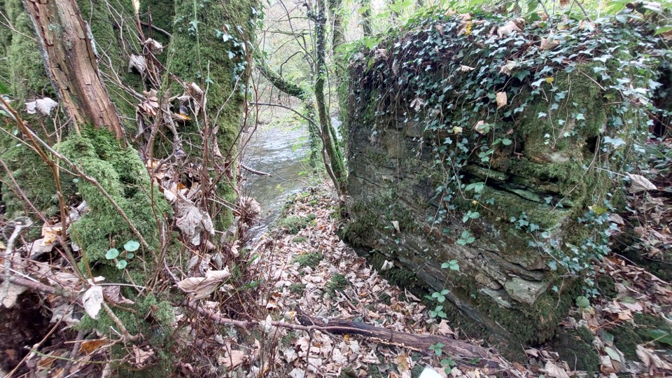
Magpie Mill is doubtless rarely visited primarily because of its location, being near the end of a ‘cul-de-sac’ track sandwiched between the A386 and the River Walkham, just to the west of Bedford (Magpie Bridge) with the access on foot being very difficult because of the road.

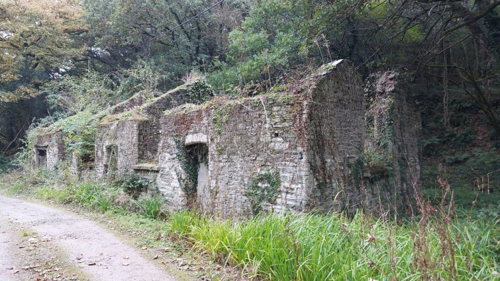
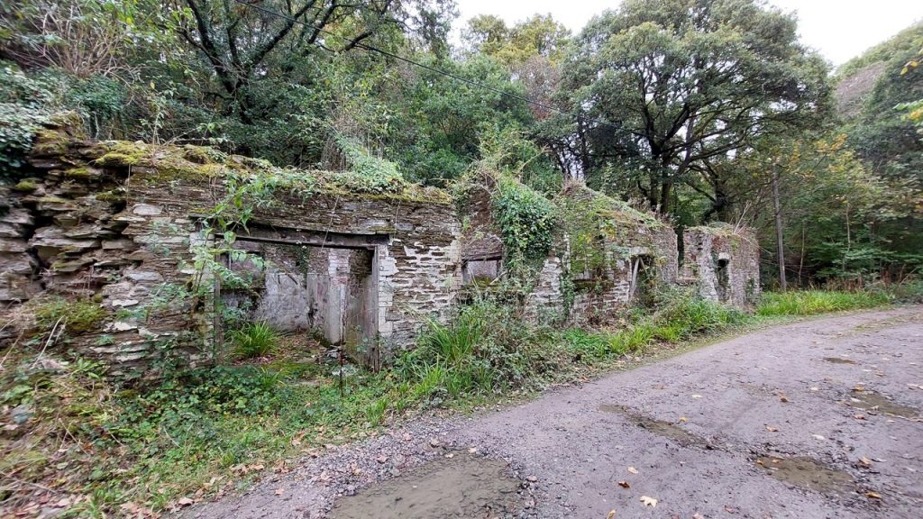
The author has been told (by four different sources) that the mill was an old ‘pot’ factory, a ‘candle’ factory, a ‘violin string’ factory and even a sausage skin factory. It is believed to have been built around the turn of the 20th century.

The building was still being lived in until about 30 years ago apparently by a Mr. & Mrs. Roberts. Their planning permission was refused by DNPA and the couple were fined £200 by Tavistock Magistrates for failing to comply with an enforcement order. The building owned by a Vivian Butterworth, and rented it to the Roberts family. The Roberts were self-sufficient and generated their own electricity, and pumped their own water from a natural stream (Ref: Dartmoor Chris – with thanks)

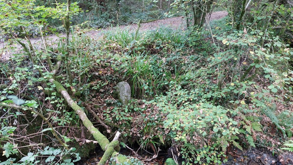
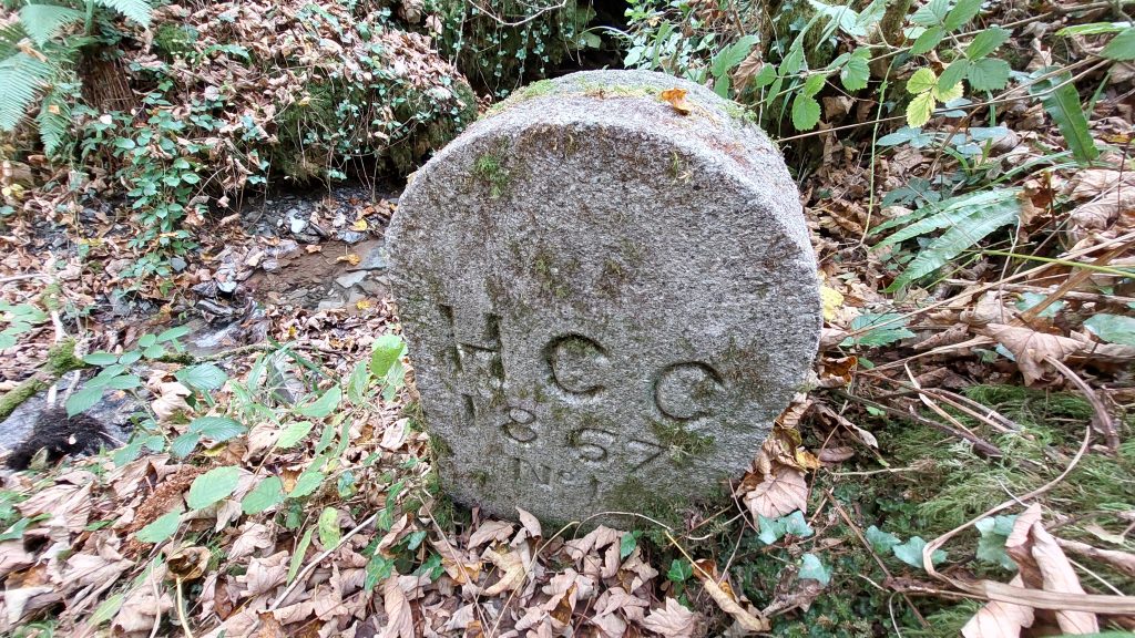
It is located near to the former Horrabridge Consolidated Chapelry Boundary Marker which was one of eight forming the Horrabridge Ecclesiastical Boundary from 1867.

Bibliography

  1. Dartmoor Chris – Pers. Conv.
  2. Clayton Mitchelmore – Pers. Conv.
0. Map a
Magpie Mill lies to the south of the A386. It is out of site from the road and lies next to the track leading to the modern water treatment works. It lies close to a Horrabridge Consolidated Chancelry Boundary Marker (HCC /1867 / No 1) which once marked the Ecclesiastical Parish Boundary here. As well as the main building there were 4 outbuildings.
0. Map b
This annotated map provides a contextual location for Magpie Mill, in relation to Bedford (Magpie) Bridge
1. Magpie Mill a
Magpie Mill – October 2025
1. Magpie Mill b
The main building at Magpie Mill is centred at SX49919 70479
2. Magpie Mill outbuilding
One of the outbuildings at Magpie Mill which lies close to the River Walkham at SX49929 70468
3. HCC 1a
Just below (south of) the track close to Magpie Mill is a boundary stone which pre-dates it. It is one of eight boundary markers erected in 1867 for the ecclesiastical parish boundary of Horrabridge. The boundary was exactly the same as the civil parish and when the ‘Horrabridge Consolidated Chapelry’ (HCC) was created with Horrabridge becoming an ecclesiastical parish in its own right. The bounds of ‘HCC’ were marked by a series of eight numbered stones ‘HCC/1867/No 1 through HCC/1867/No 8’. Horrabridge became a civil parish in its own right on 1st October 1950 and today many of the ‘HCC’ stones share the boundary of this parish.
3. HCC 1b
‘HCC / 1867 / No 1’ is located at SX49942 70477 and is shown on modern OS Maps.
Total Page Visits: 2974 - Today Page Visits: 4

Next Post

Previous Post

Leave a Reply

© 2025 Dartmoor Explorations

Theme by Anders Norén

Social media & sharing icons powered by UltimatelySocial